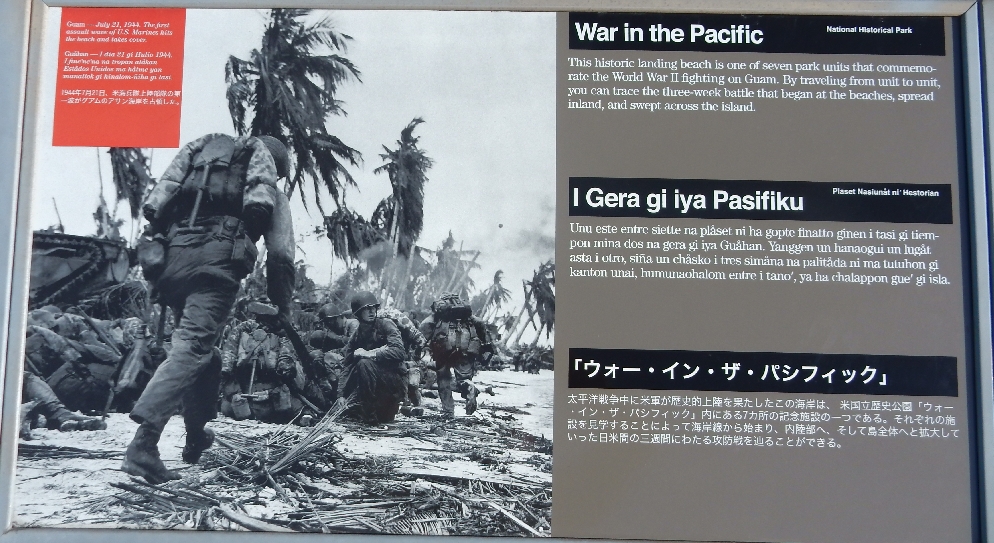
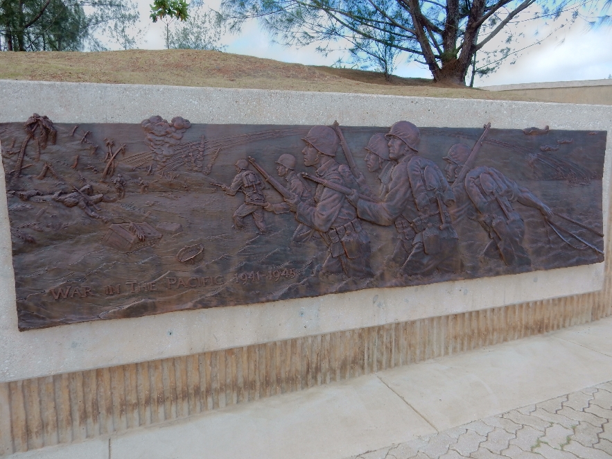
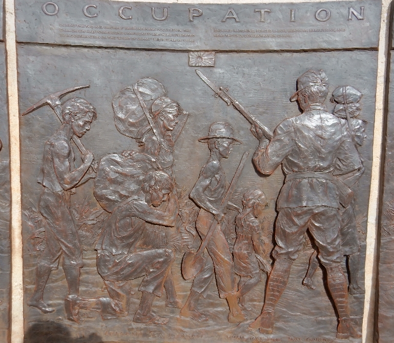
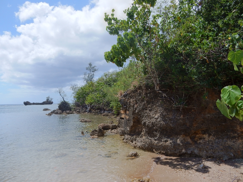
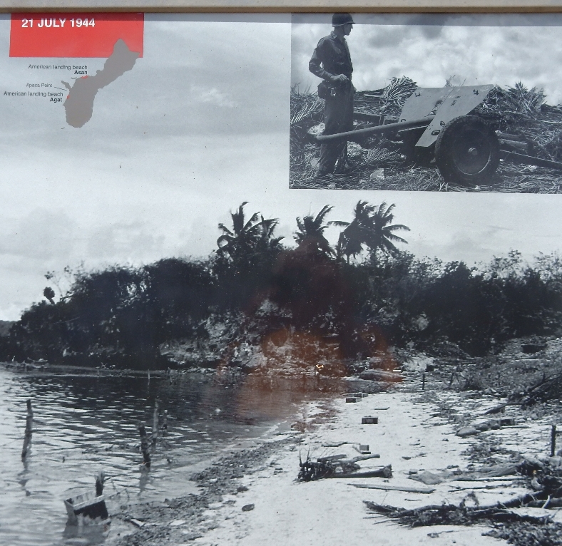
2/27 – We were very fortunate that the plane was only about half full and both Helen and I could stretch out across three seats in an attempt to sleep. Landed early in Guam at 5:30am and picked up our rental car from Thrifty. Our first stop was at Denny’s for a big breakfast. We then tried to check-in early at our Day’s Inn but were told we had to come back between two and three that afternoon. The entire morning was spent touring various locations that are part of War in the Pacific National Historical Park. Started with Asan Beach, which was one of two beaches that were used by the U.S. on July 21, 1944 to invade Guam and take it back from the Japanese.


Observation tower at Adelup Point,

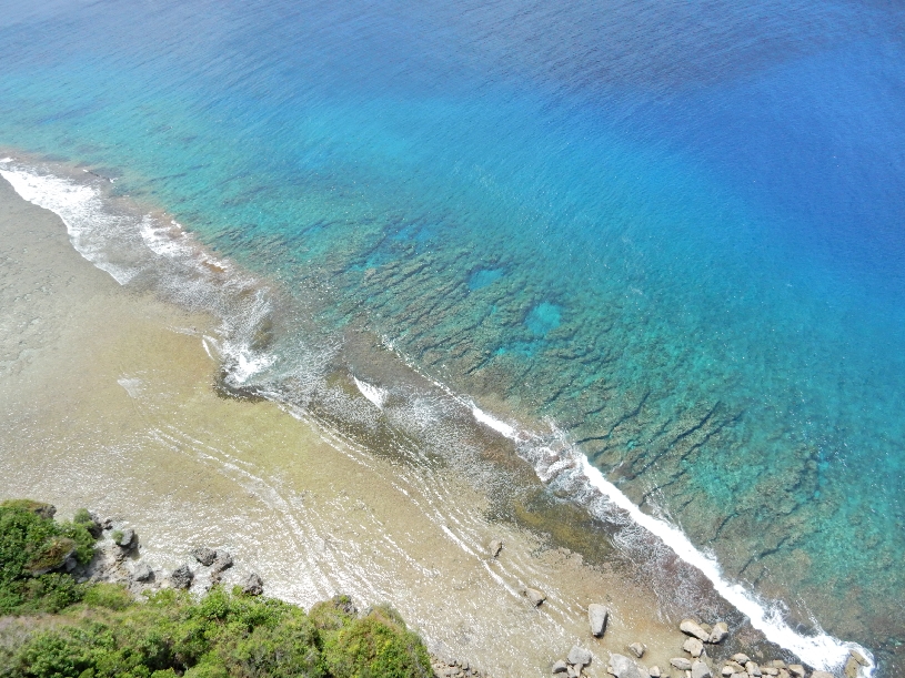
Asan Beach is in the distance

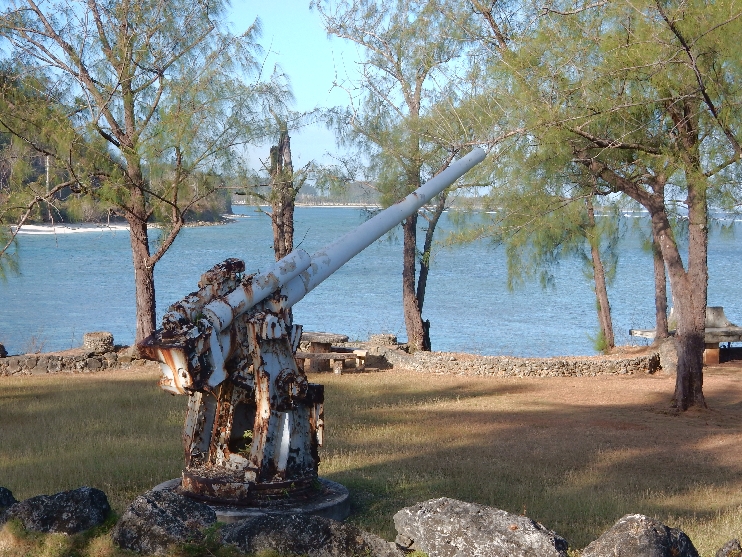
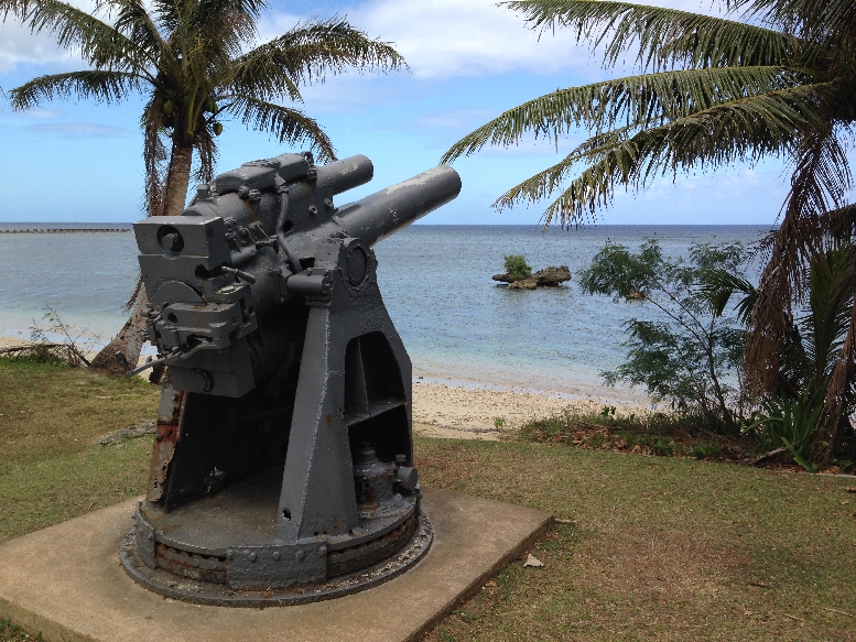
Japanese Gun
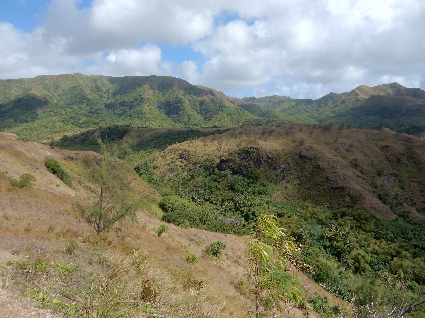
We then drove into the hills to the Asan Beach Overlook

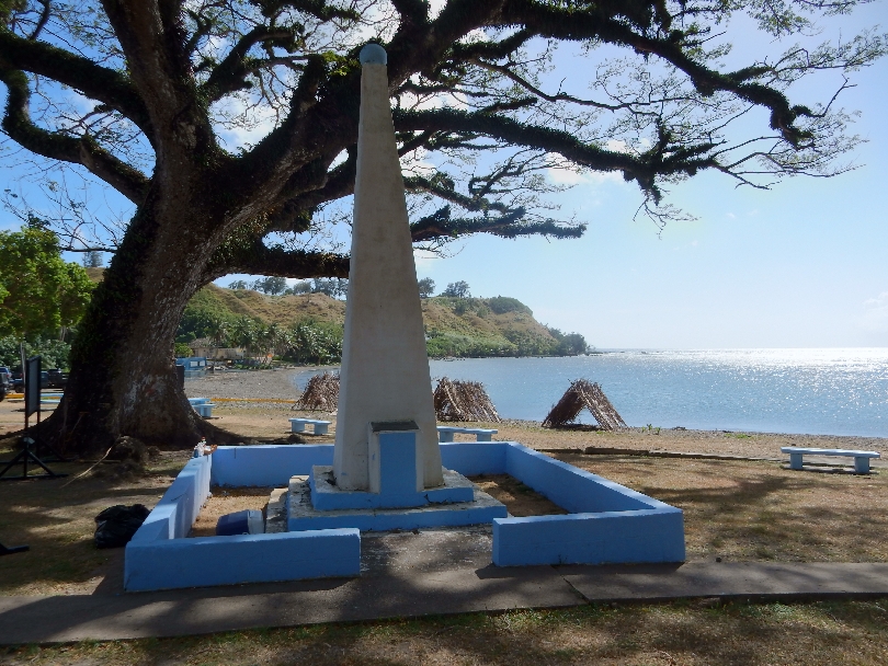
Memorial Wall honoring American servicemen who died liberating the island

Memorial Wall honoring the Chamoros. The Japanese occupied the island for two and a half years


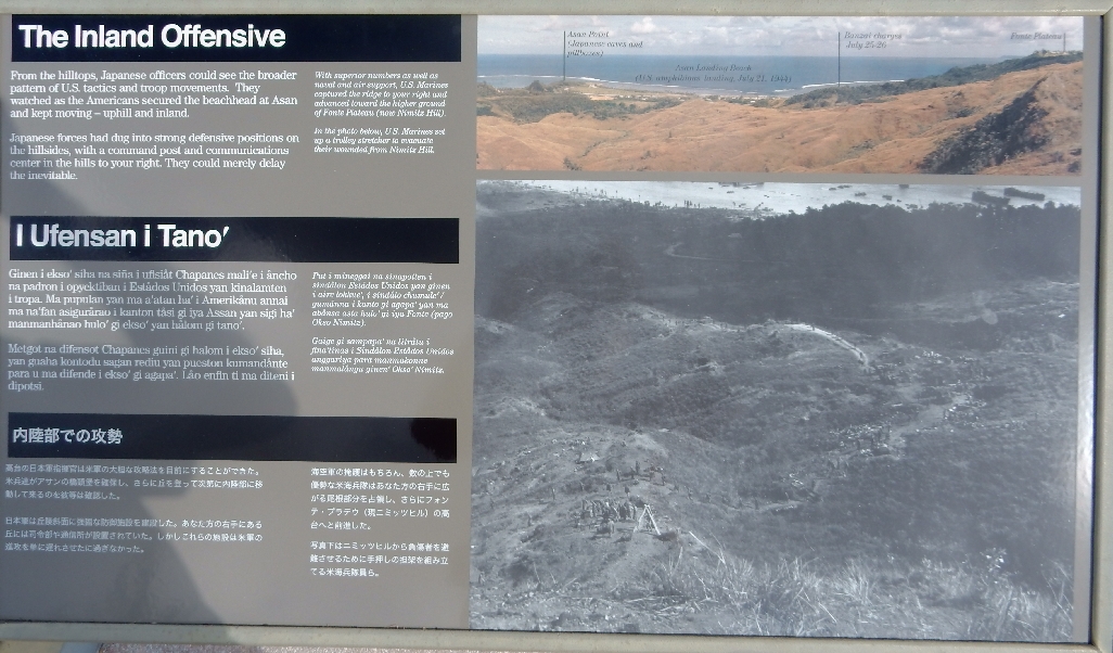
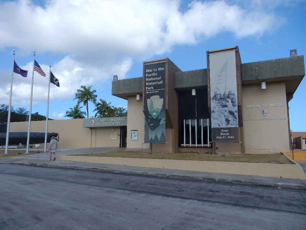
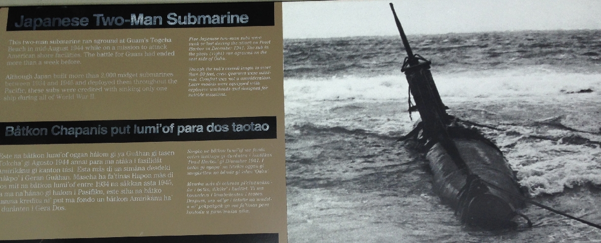
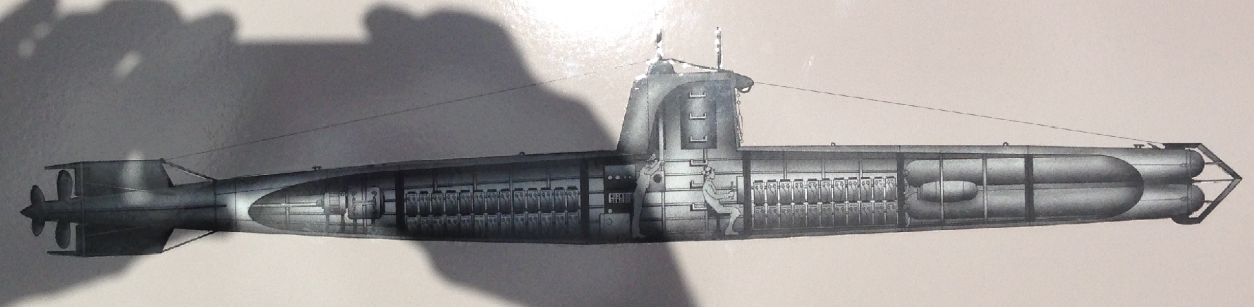
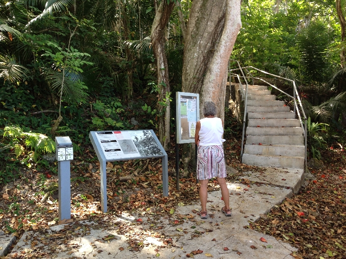
Next stop was the T. Stell Newman National Historic Park Visitor Center
Two-man Japanese submarine

Did a short hike behind the town of Piti to the three Japanese “Piti Guns”
Fortunately they were not yet functional when the marines landed – Gun 1


Gun 2

Gun 3

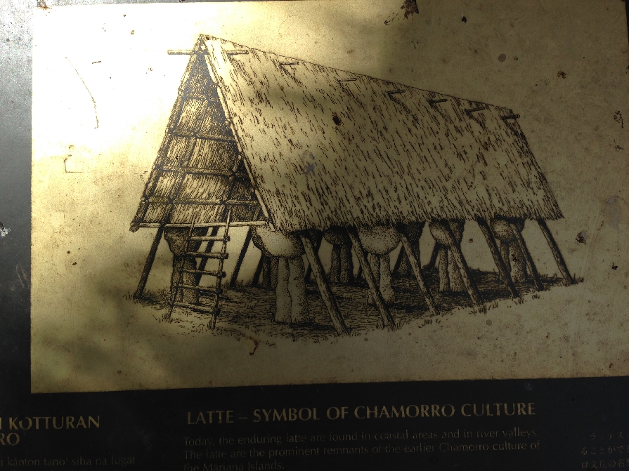
Parked our car at the Chamorro Village in Hagatna and walked to see some of the local sites. Plaza de Espana was the center for Spanish administration of Guam from 1669 until the U.S. took over in 1898. Of course the Japanese ruled from 1941-1944. Visited Dulce Nombre de Maria Cathedral-Basilica – Pope John Paul II held mass here in 1981. We then walked across the street to Latte Park (also called Triangle Park). These are called Latte Stones –

Historians believe they were foundation pillars for men’s houses or homes of nobility
We hiked up to the Fort Santa Agueda (built in 1800) Lookout
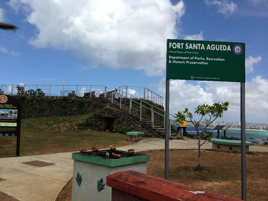
View of Hagatna (capital), Agana Bay on left, Tumon Bay (one of Guam’s Marine Preserves) on right with Tamuning (tourist hotels) on opposite side

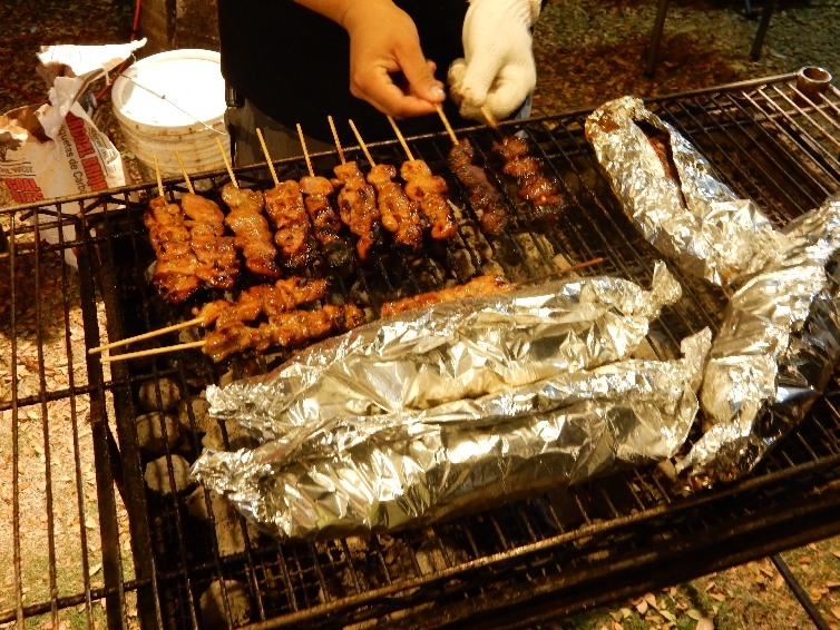
Hagatna is the Capital of Guam – Guam is an unincorporated U.S. territory. Guam has about 200,000 people, is the southernmost island of the Mariana Islands and also part of Micronesia. We ate dinner at Triangle Park (Latte Park) where every Friday locals offer food and crafts for sale – an outside mini-market.

We tried the squid (in foil), ate pork and chicken kebabs,
crab cakes, shrimp sticks
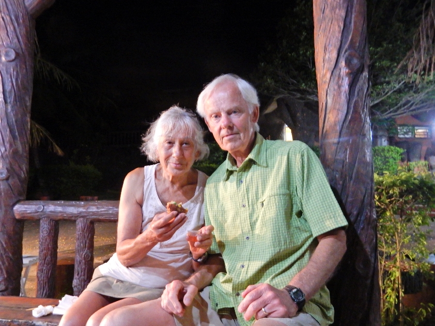
and a kind of donut for dessert

2/28 – Had breakfast at a local Flea Market and then drove to the northern tip of the island and the Guam Wildlife Refuge.

View of Ritidian Beach

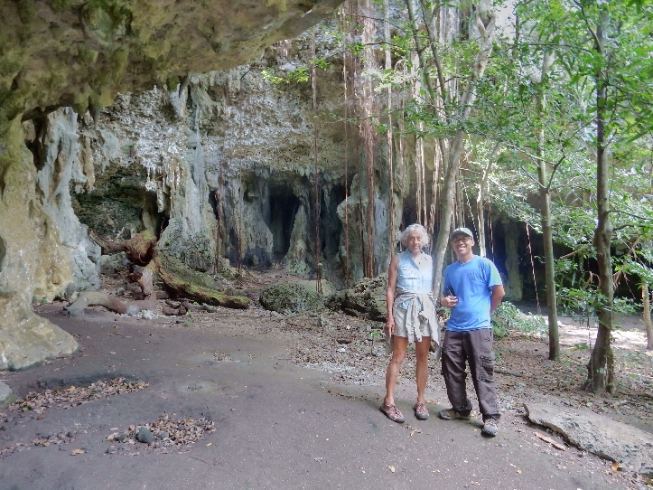
The Visitors Center was closed but I was able to find a door open at the administrative building and found Shawn in one of the back offices. He is doing a post-doc here related to the invasive brown snake population. I called Joe who runs the center because he had confirmed a cave tour for us by email. He said he was off for the weekend but would arrange for Jarod, an intern from the University of Guam to give us a cave tour. Jarod showed up within ten minutes. He was at the beach looking for turtles. We started with a short tour of the Visitor Center and he then took us on a 1.5 hour cave tour.


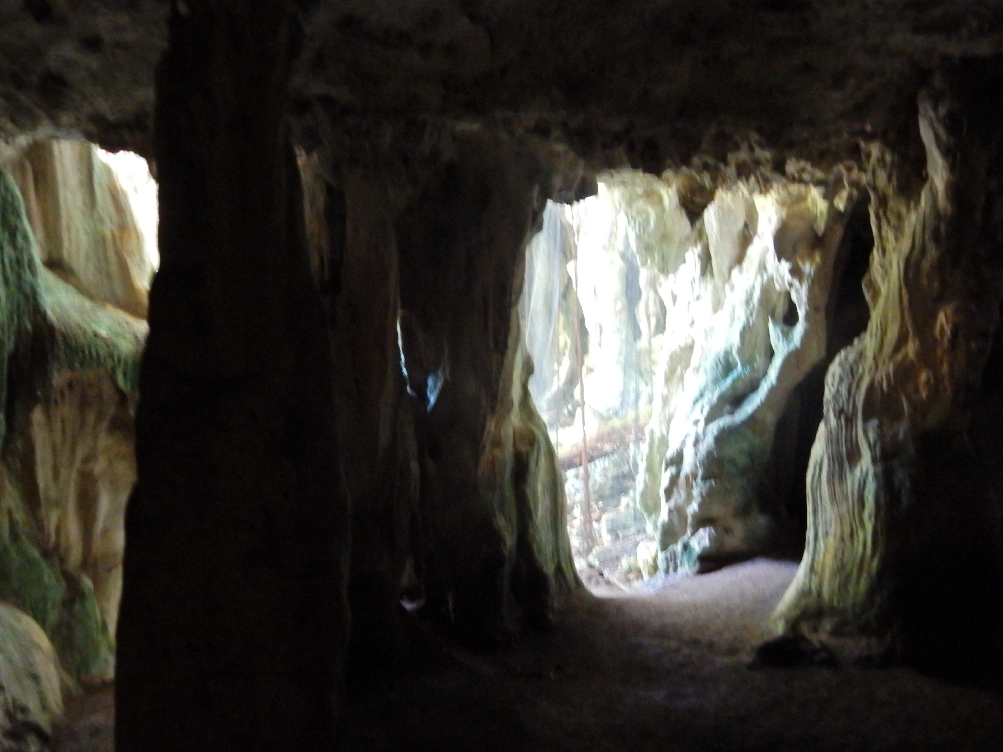
Limestone formation caves
Cave paintings

Large stalactite – notice top
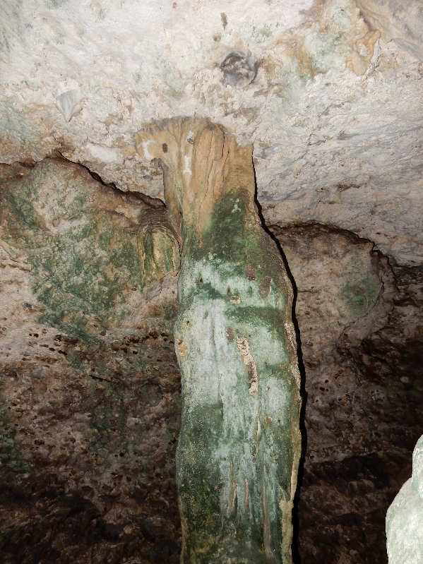
Bird painting center of picture, at top of stalactite

Cave spider

Net covers entrance to this cave
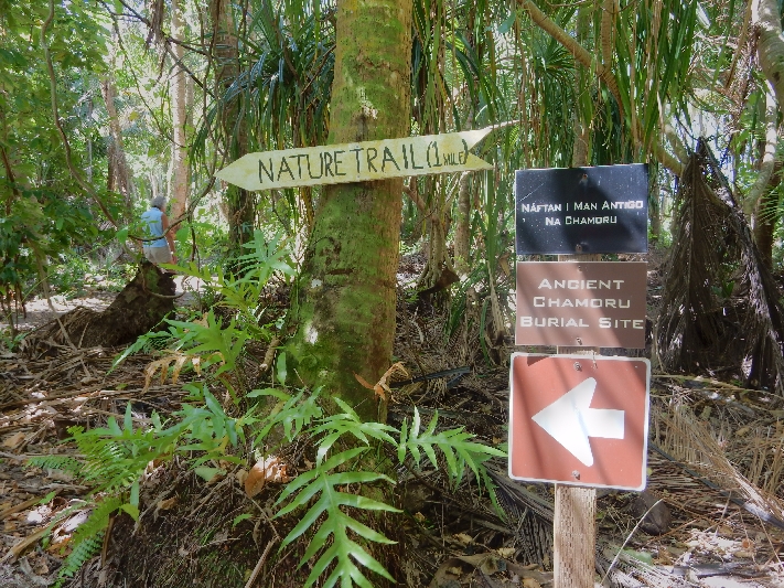
Did a mile nature walk in what was formerly a coconut plantation. Guam National Wildlife Center land was acquired by the U.S. Navy in the 1950s and turned over to the Fish and Wildlife Service (FWS) in the early 1990s. It is adjacent to Andersen Air Force Base.
Butterfly

Beautiful pristine white sandy beach – looks like it would be great for snorkeling. We both went in the water so that we could say we were in the Marianas Trench Marine National Monument (FWS). That is, the oceanic zone between Guam and the Northern Mariana Islands.
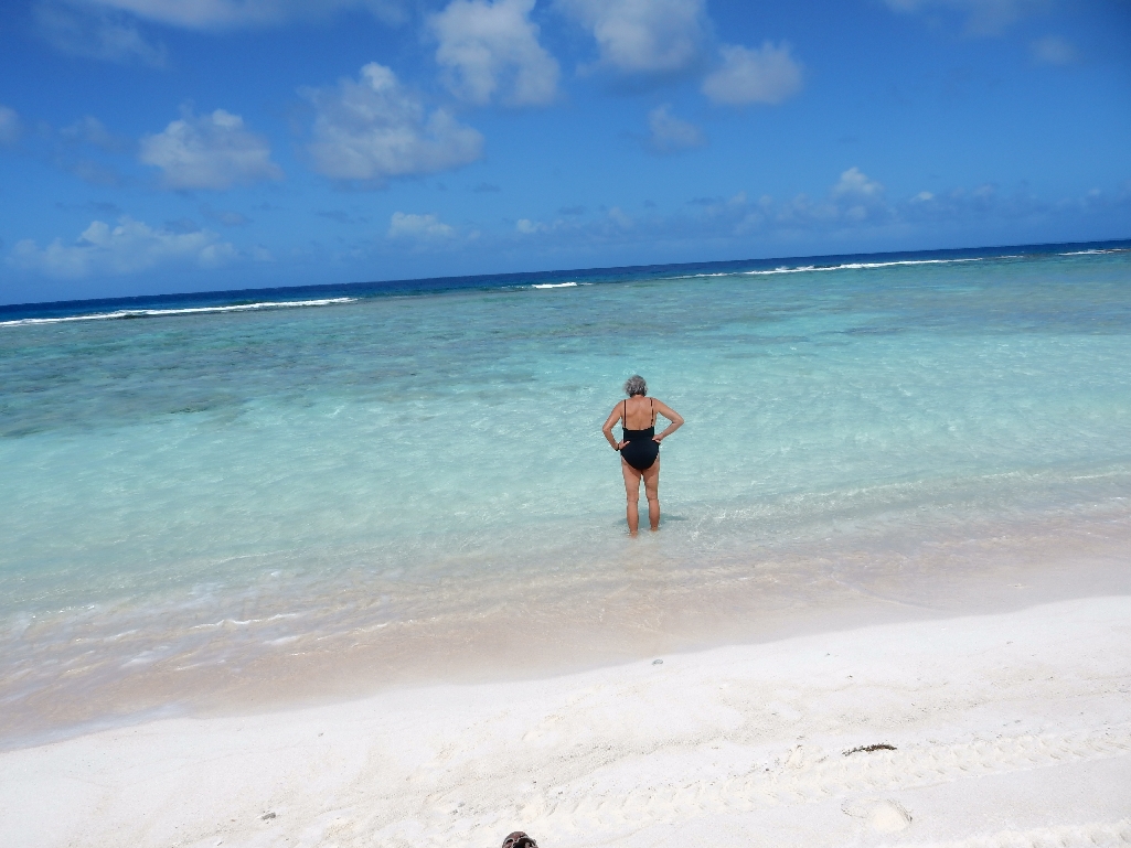
One of the best beaches on our trip – crystal clear water, reef ready for exploring

Broke down and paid to go to Two Lovers Point. Bus after bus of Asian tourists but it was still a nice view and we got a tasty smoothie!


This is Ga’an Point about the middle of the Agat beach landing area for U.S. forces on July 21, 1944

Japanese Gun
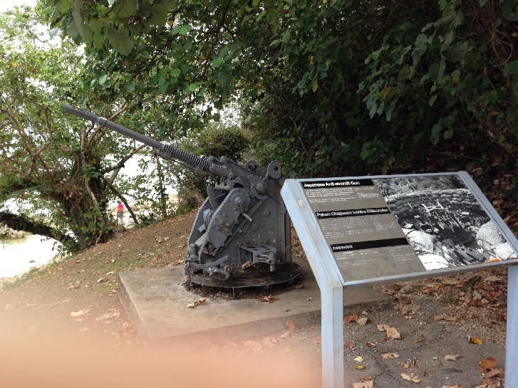
Japanese Antiaircraft Gun
Can you see the Japanese pillbox (machine gun nest) built into the rock?

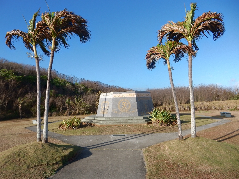
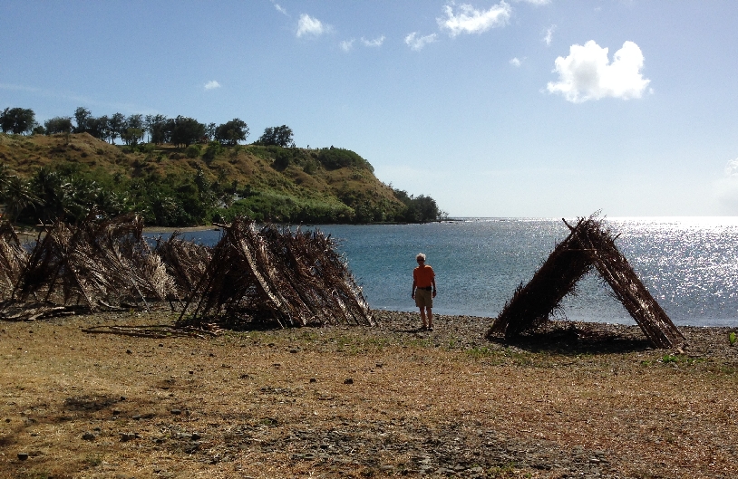
We then headed all the way to the south end of the island and Umatac
Every year during the first weekend in March they celebrate Guam Heritage Day. It commemorates March 6, 1521 when Magellan landed here on his first round-the-world voyage.

Magellan monument and plaque

Helen Dancing with the local Chamorros

Portable ATM!

Some of the villagers took items from Magellan’s ship; he retaliated by burning the village. Soooo, each evening of the festival the A frames built on the beach are set ablaze!
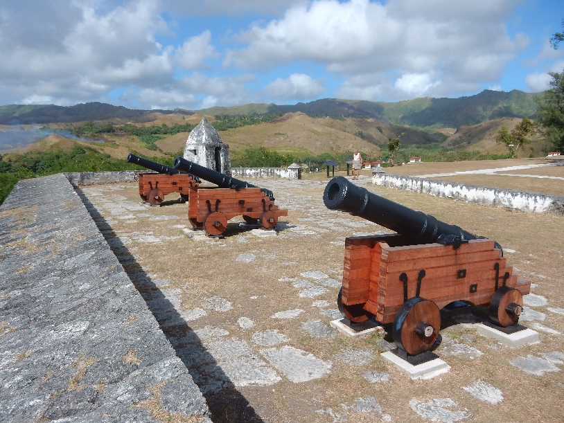
The point at the upper middle of the above photo is the site of Fort Nuestra de la Soledad built to protect the Spanish galleons sailing between Acapulco and Manila in the Philippines. It was the only stop to replenish their supplies.
The current structure represents the last of four forts built at Umatac Bay; it had seven guns
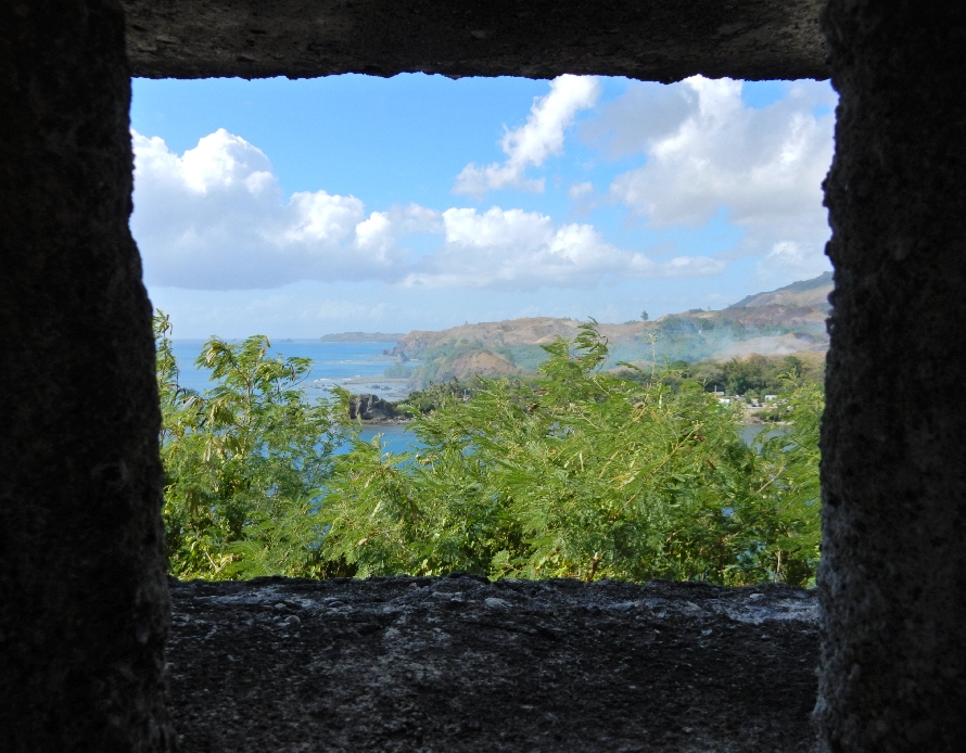
View looking back toward Umatac

Continuing our drive around the south end of the island, we stopped at the Merizo Bell Tower (1910) in Guam’s southernmost village

Statue at Santa Marian in Kamalen Park

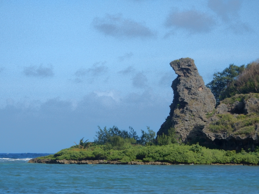
Also, took a picture of Bear Rock outside of Inarajan for Peter – he wanted to be a bear when he was growing up
We then stopped at the Inarajan Pools – a pretty area that is, unfortunately, in disrepair

On the way back to our room, we bought Subway subs for our 7 hour flight to Hawaii the next day
3/1 – Left Guam at 7:15am and landed in Honolulu at 6:15pm the previous day, that is 2/28 – we again crossed the international date line. That’s a 20 hour time difference!
2/28 – After the long 7 hour flight, we took a taxi to our hotel and then walked to the ocean and lagoon by the Hilton complex – had expensive ice cream cones on the way back.
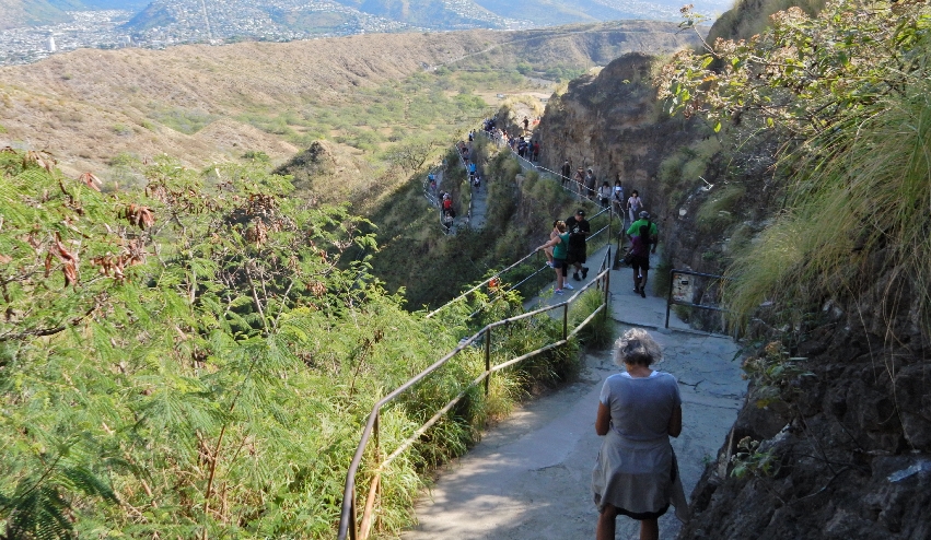
3/1 – We restarted 3/1 again – just like Ground Hog Day! Took the bus to Diamond Head State Monument (Park) for $1 each and paid that same amount for entrance.

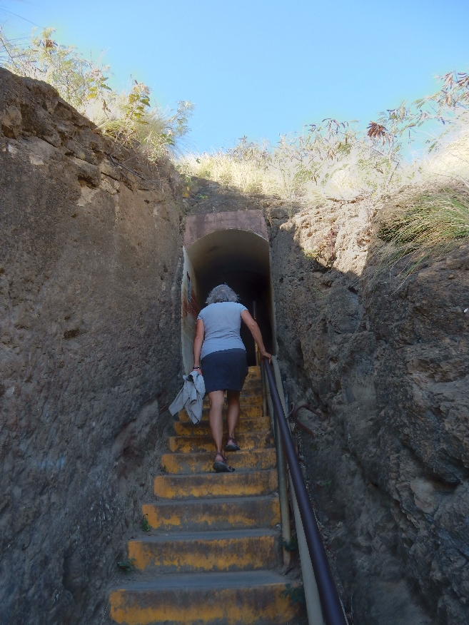
We walked about a half mile from the bus stop up and through the car tunnel that gives access to the caldera


Descriptive sign showing trail to the top
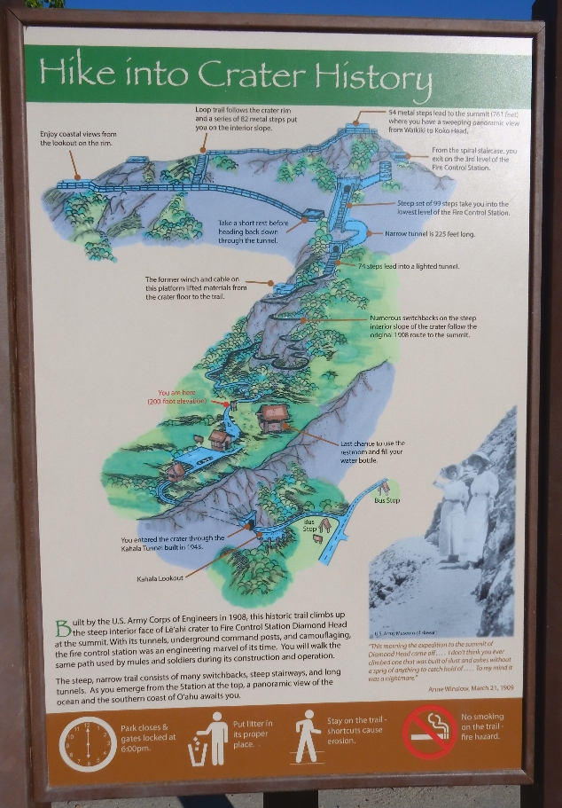
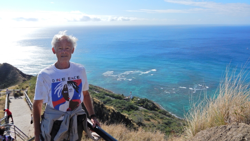
The crater floor is at about 200 ft elevation – the next series of photos shows Helen on the trail

The trail to the summit is 0.8 mile

The trail switchbacks were put in in 1908
Steep stairway of 74 steps leads to the first narrow tunnel, that is 225 ft long
The second stairway consisted of 99 steps with overhead beams to place camouflaging

There were 52 stairs on the spiral staircase that led up to the four levels of the Fire Control Station
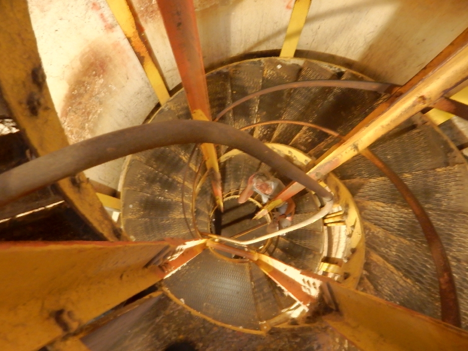

Additional metal stairs lead to the fourth level of the Fire Control Tower, which is the Observation Station. It provides an excellent view of Honolulu and Waikiki. The elevation of the crater summit is 761ft. The next picture shows one of the bunkers that was built along the crater rim – despite the attack on Pearl Harbor, the artillery was never fired during a war!
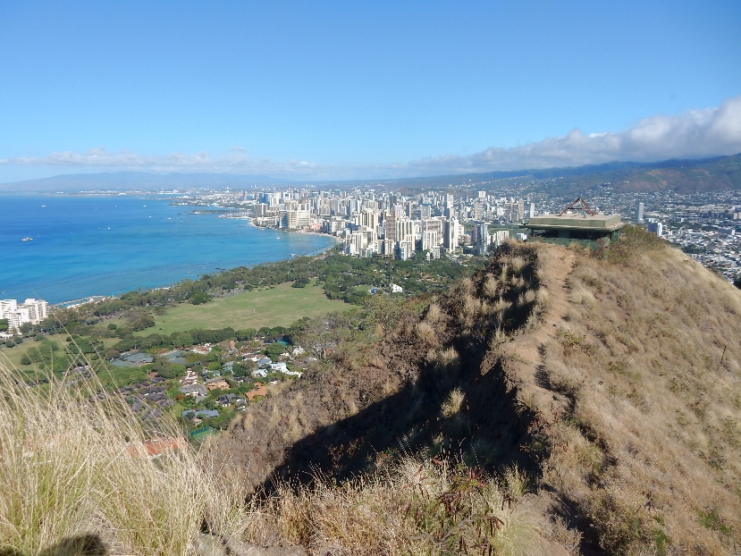
To do a loop back to the tunnel, you walk the summit rim to a Concrete Landing/Lookout where a winch and cable were used to lift supplies from the crater floor. The Diamond Head Light can be seen in lower center of photo. It was built in 1917.
Starting the descent, view back toward caldera

When we were descending the switchbacks, I heard someone call out a very loud “Aloha” on the trail above. I was startled and ducked. I immediately heard a loud thud behind me. I thought someone had fallen from above. But alas, poor Helen was spread out on the trail behind me. She had looked up when hearing the “Aloha” and had then tripped doing a spread eagle on the rock trail. She was startled and had landed on two knees, an elbow and her right hand. She may also have broken one of her toes. The State Park did not have a first aid kit! Some passerbys but especially the man who ran the refreshment truck at the entrance provided us with cleansing strips, aloe, bandages and ice for her injuries. The abrasion on her right hand was especially bad. A Mango Smoothie was helpful in soothing her bruised ego.

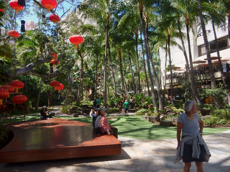
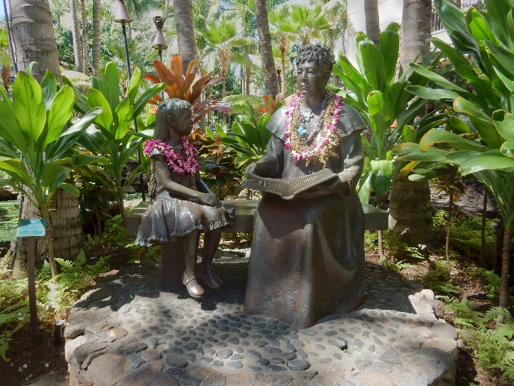
Took the bus back into Waikiki and walked around many of the hotels window shopping, and admiring statues and flowers.

Ate lunch on the beach at The Hilton Hawaiian Village complex


Rested in the afternoon and then went to Snappers for their all you can eat BBQ Ribs.
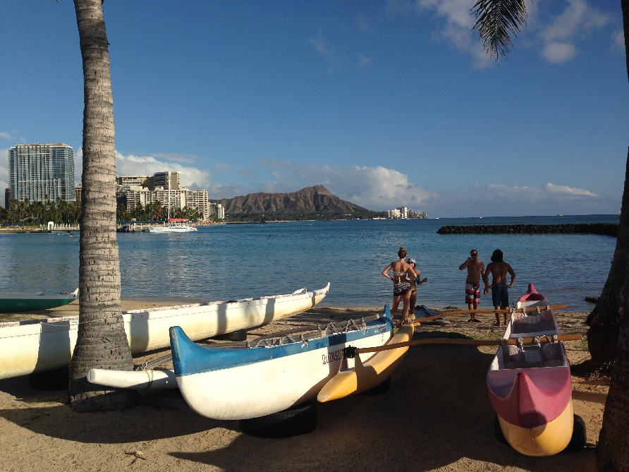
3/2 – Took our last walk on the beach – Bye Bye Hawaii
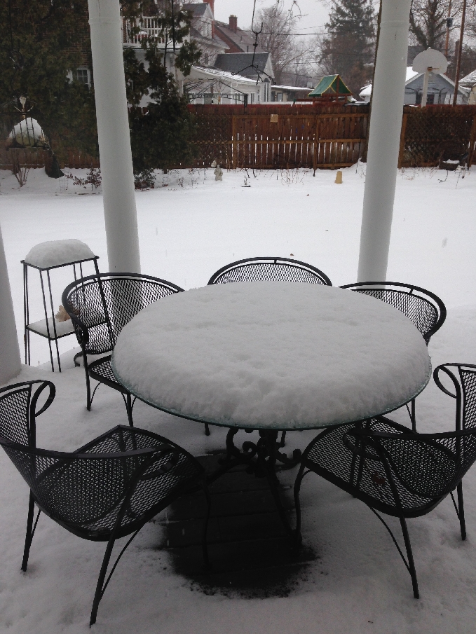
Packed and took a taxi to the airport at 1pm, flew to LA (7 hrs) and caught the red eye to MSP. Our flight to Dayton was delayed because of snow and we arrived there at noon on 3/3. Karlene picked us up and drove us home to an inhospitable home coming – see picture