Archive for February, 2015

h1

New Zealand 1

February 24, 2015

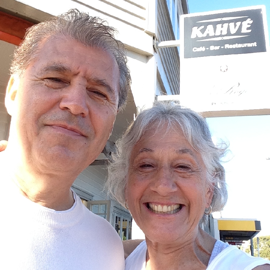
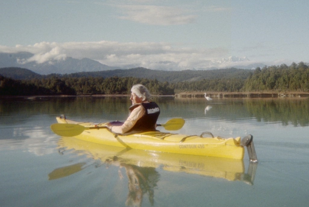
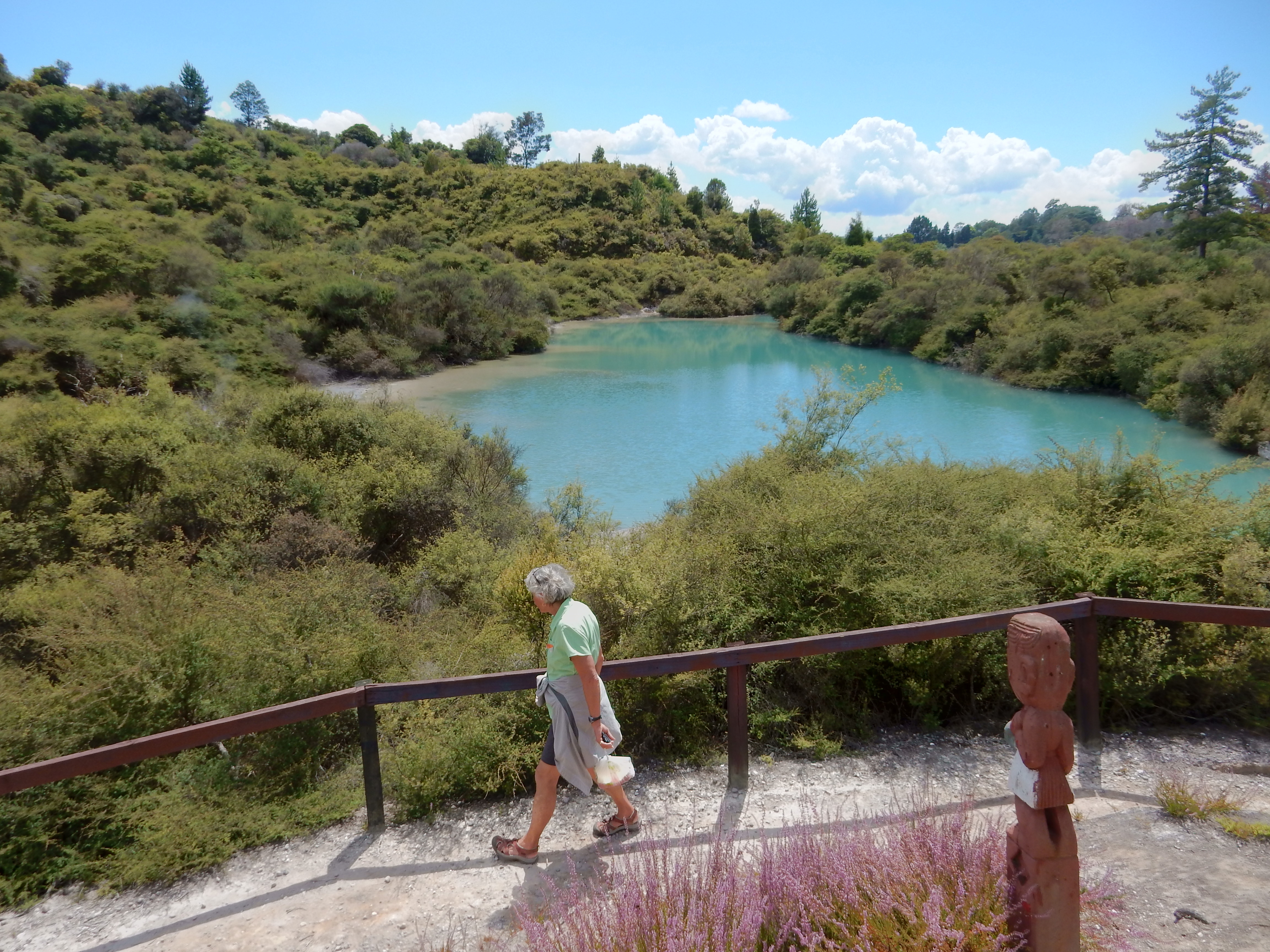
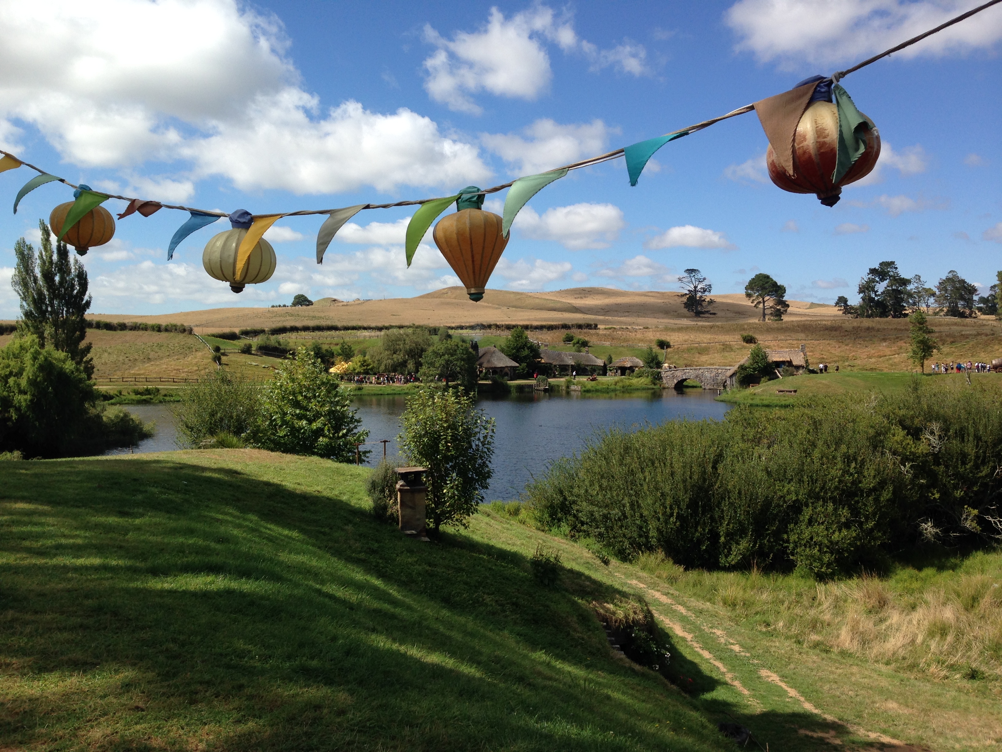
1/31 – Auckland, New Zealand – Helen & Sue started the day with a walk along the beach and then met friends for coffee at Kahve, which they did every morning we were in Auckland.  Helen selfie with Linzi and Sue.

DSCN0438.1

Sudar, Kahve’s owner

DSCN0438

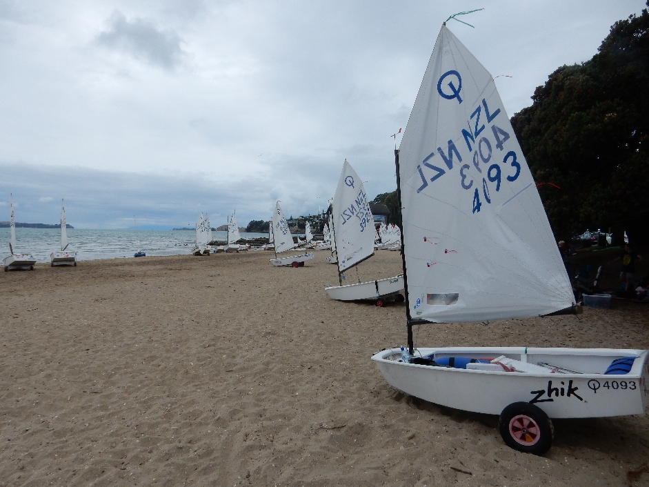
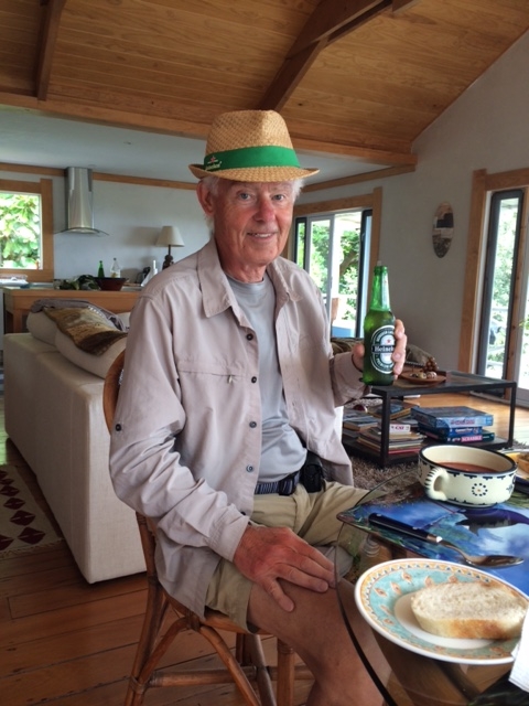
When they returned we had a healthy fruit and cereal breakfast along with freshly ground and prepared coffee – Bob has become a barista extraordinaire. We then drove a short distance to a beach where kids were setting up for an Optimist sailing regatta.

DSCN0426

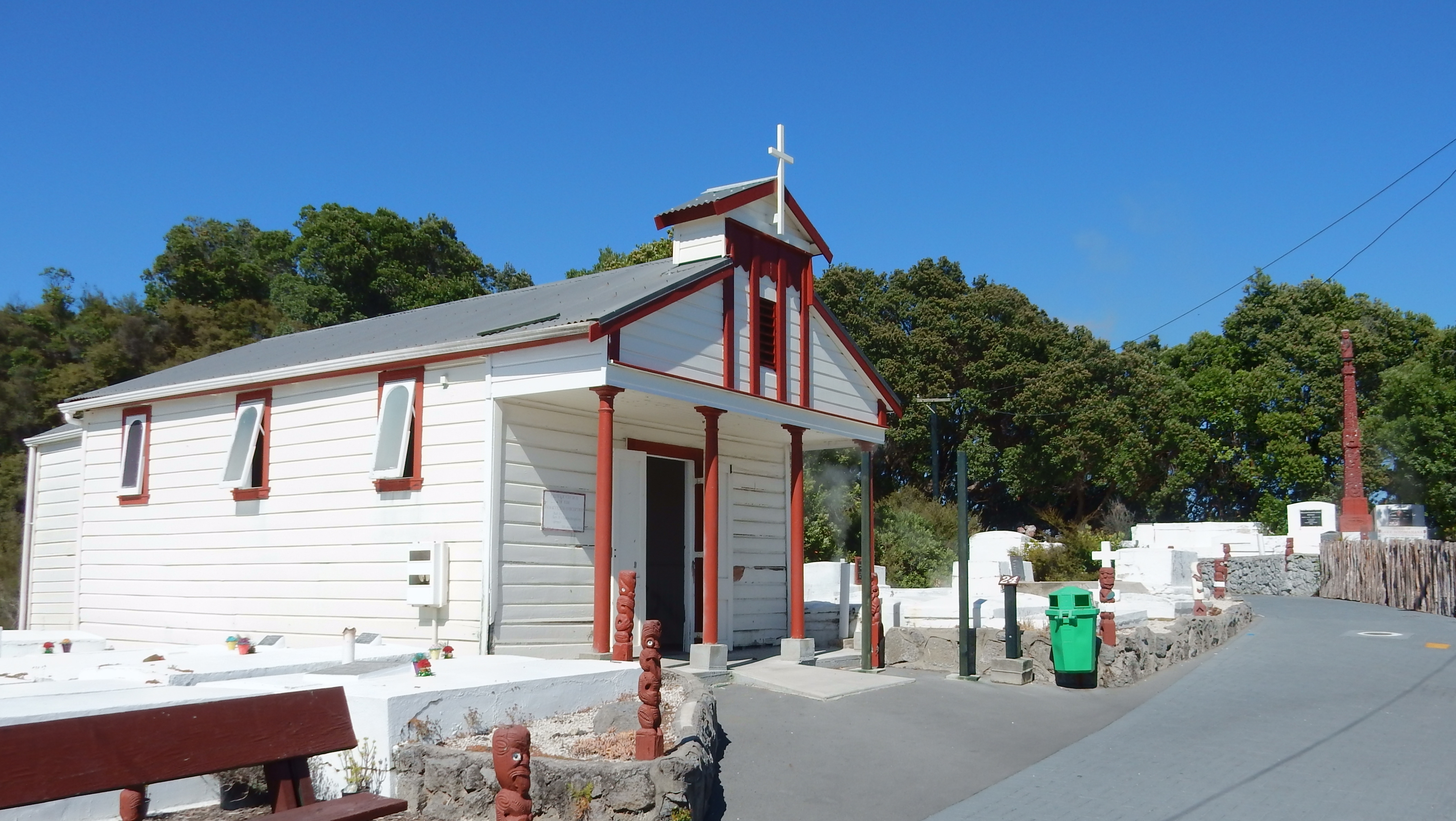
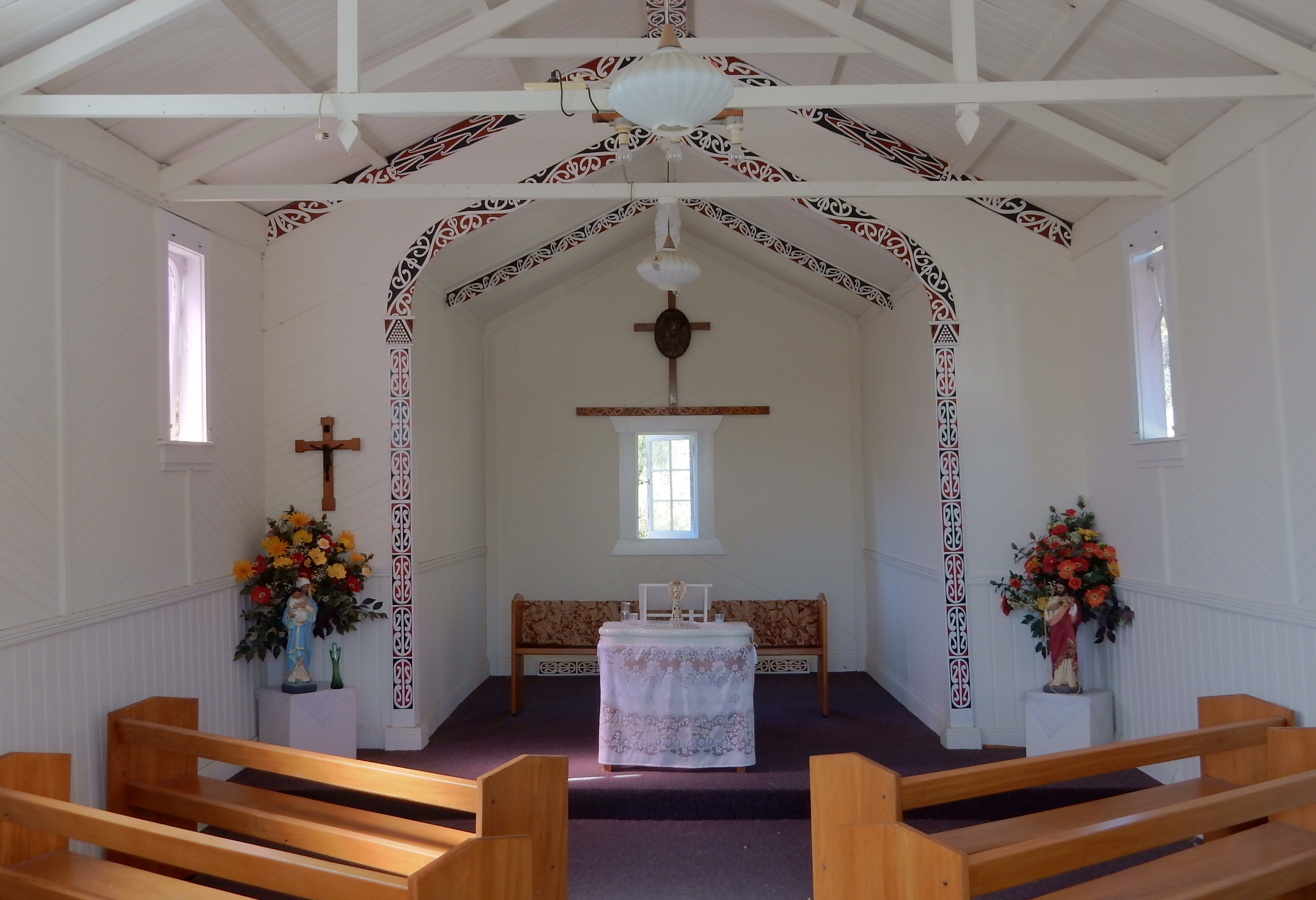
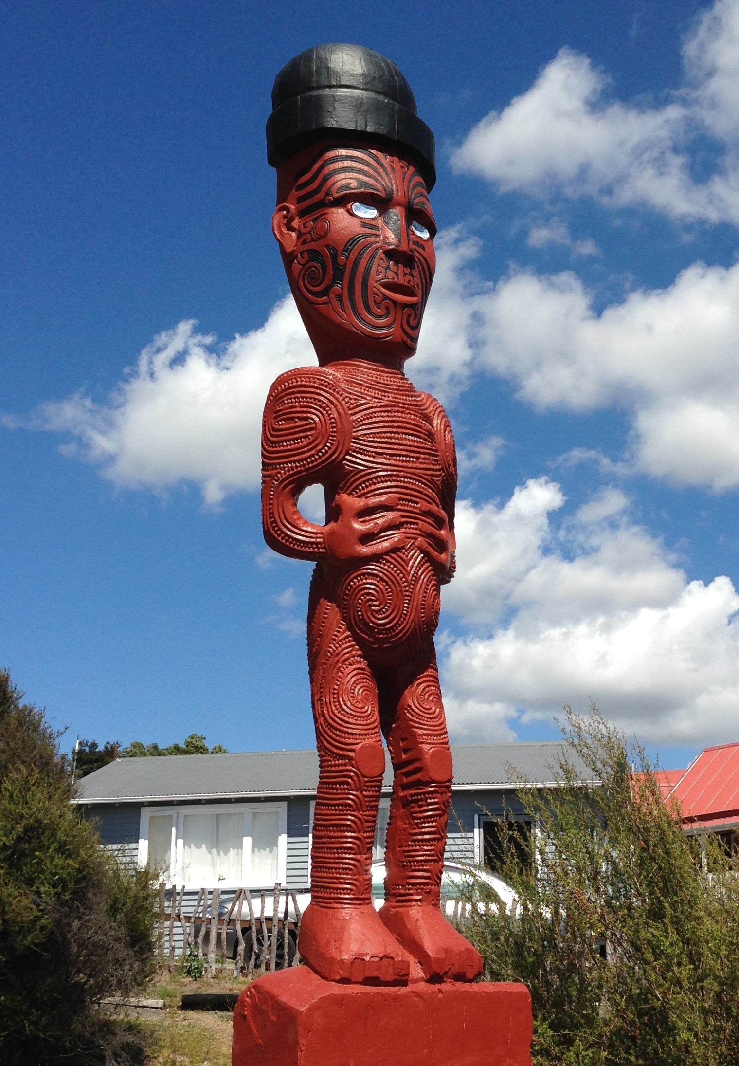
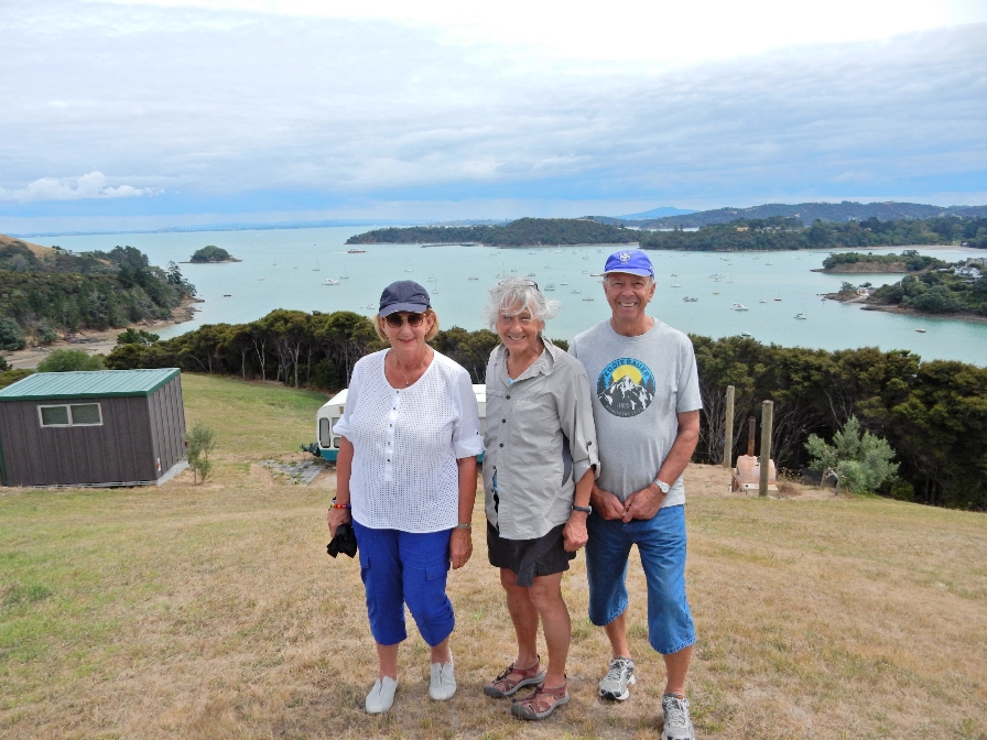
They then took us to see the totems and lookout at Achilles Point

DSCN0432

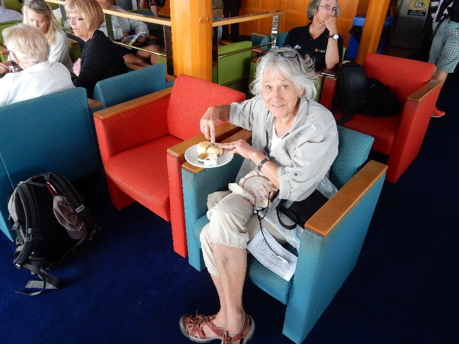
I had been getting chilled all morning, so we drove downtown for a cup of tea.  By the time we parked and walked to a waterfront restaurant I was shivering severally with painful stomach cramps, so we returned to the apartment.  I spent the rest of the day in bed except for frequent trips to the toilet, only able to take a little fluid.

2/1 – Super Bowl Sunday – I was in bed most of the day with abdominal pain, fever and low blood pressure.  I was only able to get up for parts of the game but was able to see the exciting/unbelievable finish – the Boston Patriot’s interception on the one yard line with only 18 seconds to go to beat the Seattle Seahawks!

2/2 – Same as yesterday, diagnosis – some tropical virus.

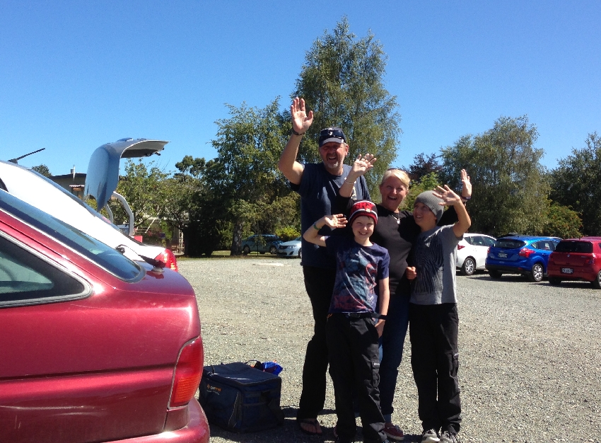
2/3 – Made some progress today and was able to take a short walk with Bob and pick up the rental car.  However, the severe stomach cramps with frequent toilet stops continued.  The car was the smallest one I could rent; a sub-compact Japanese Daihatsu Sirion 1.3L.  It was a 2006, making it 9 years old.  When I went to start it – it wouldn’t. They put in a new battery and I was off.

2/4 – Left for Tongariro NP about 7:30am with Bob leading us in his car through Auckland until we were able to get on Rt 1 south.  Adjusting to driving a small car on the left side of the road.  Manual transmission on the left, steering wheel on the right, with mirrors and controls reversed!  We had a little trouble with poorly marked roads that was complicated by a Garmin GPS unit giving us incorrect information in New Zealand speak!

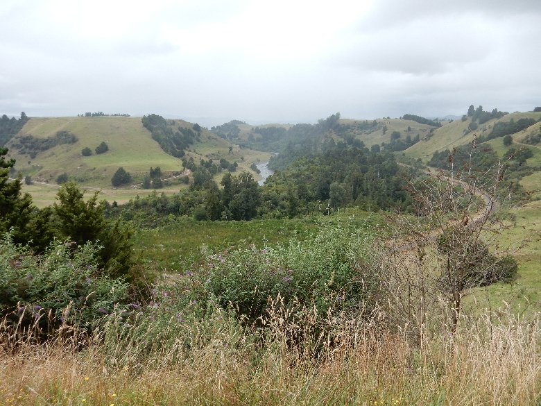
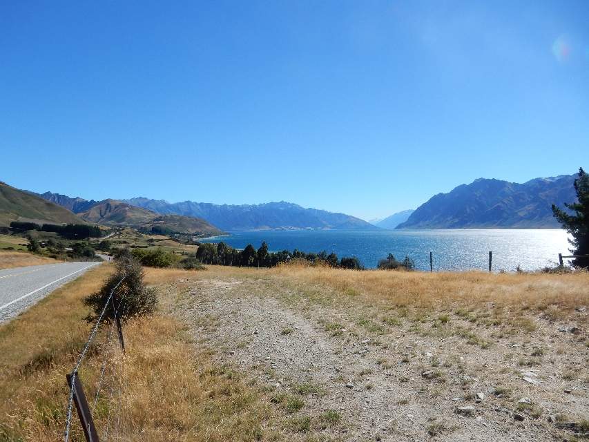
Example of countryside south of Auckland. It was an overcast and rainy day. As a result, the camera adjusted by increasing the exposure for the countryside but as a result the sky was over-exposed.

DSCN0442

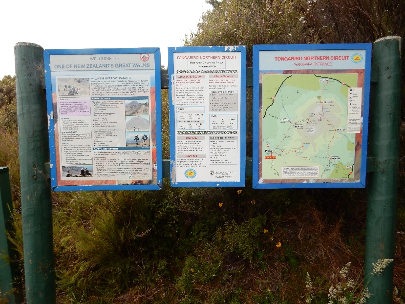
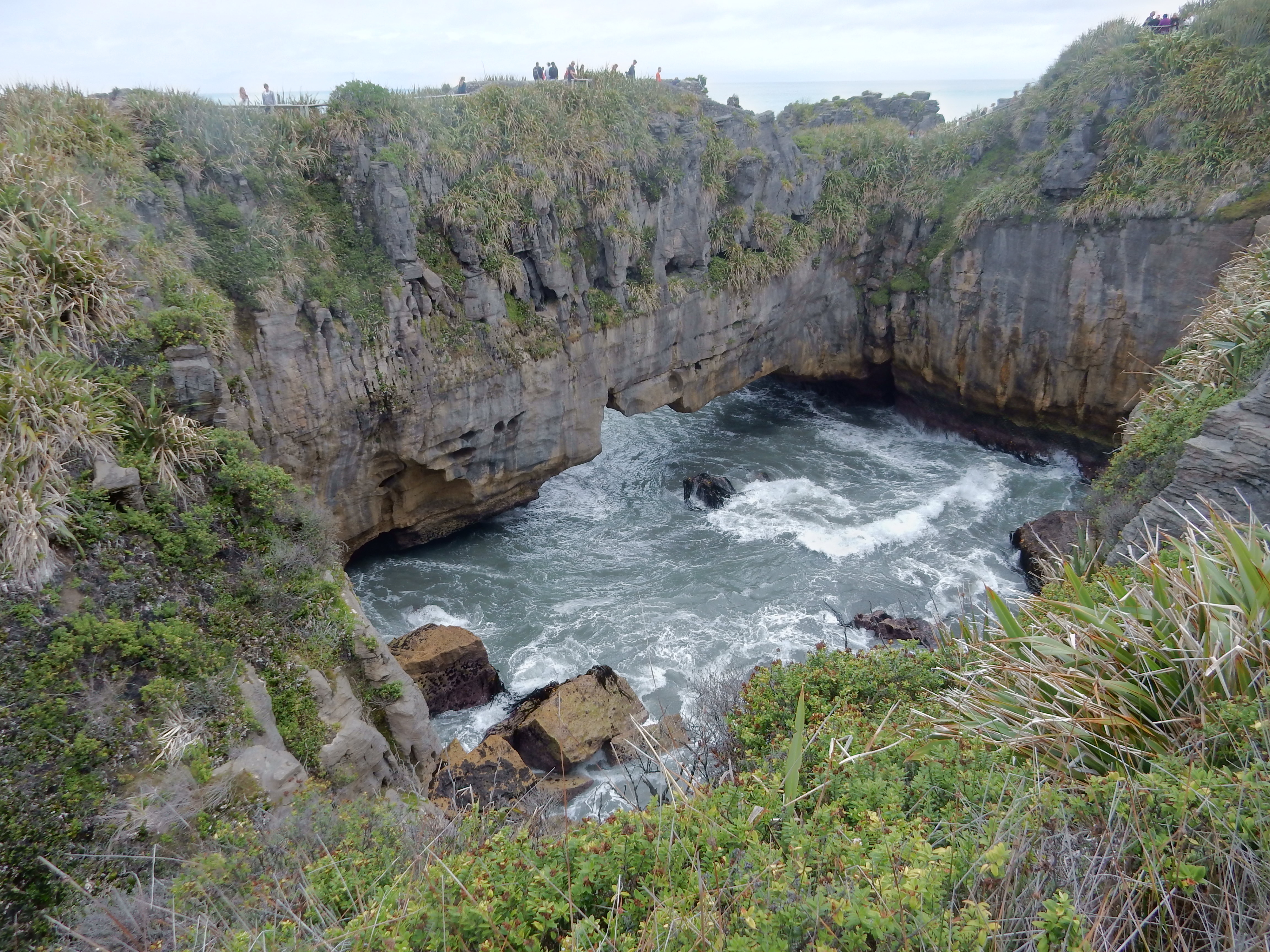
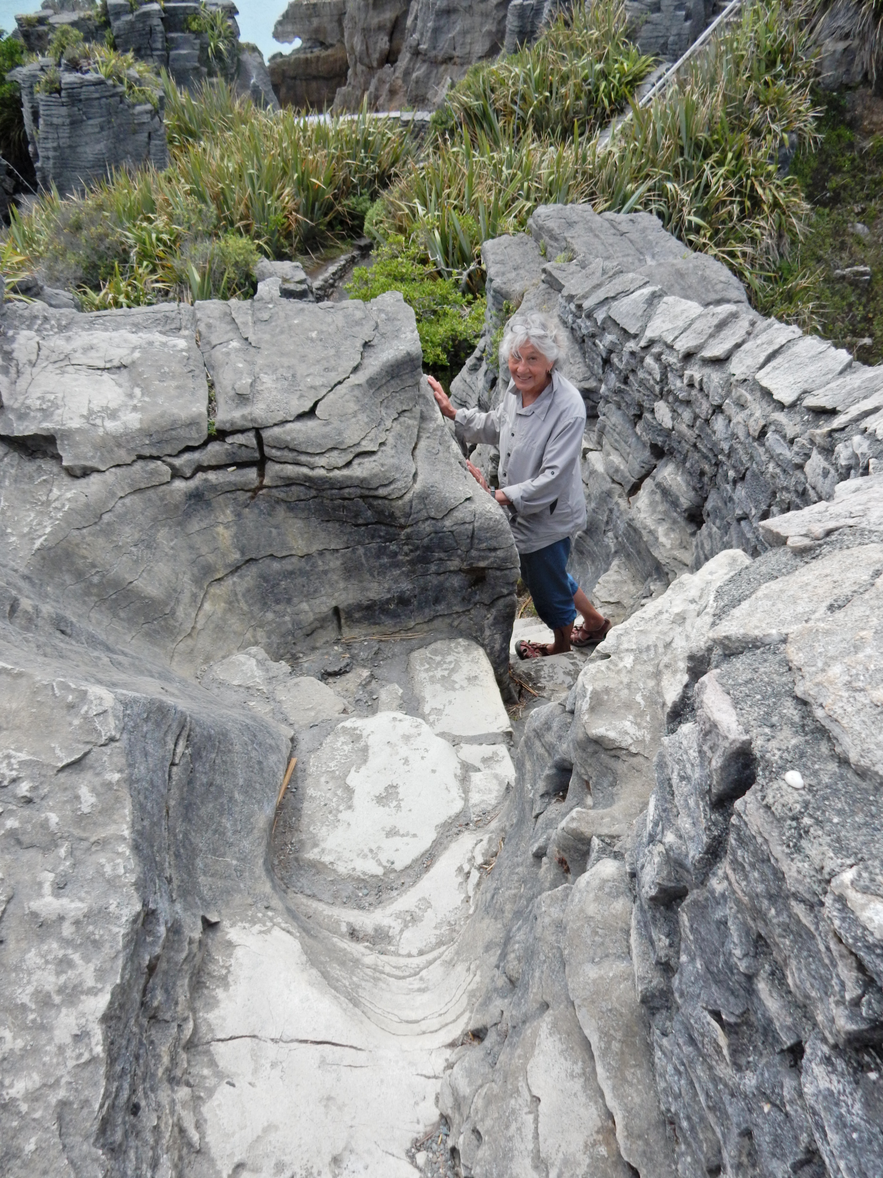
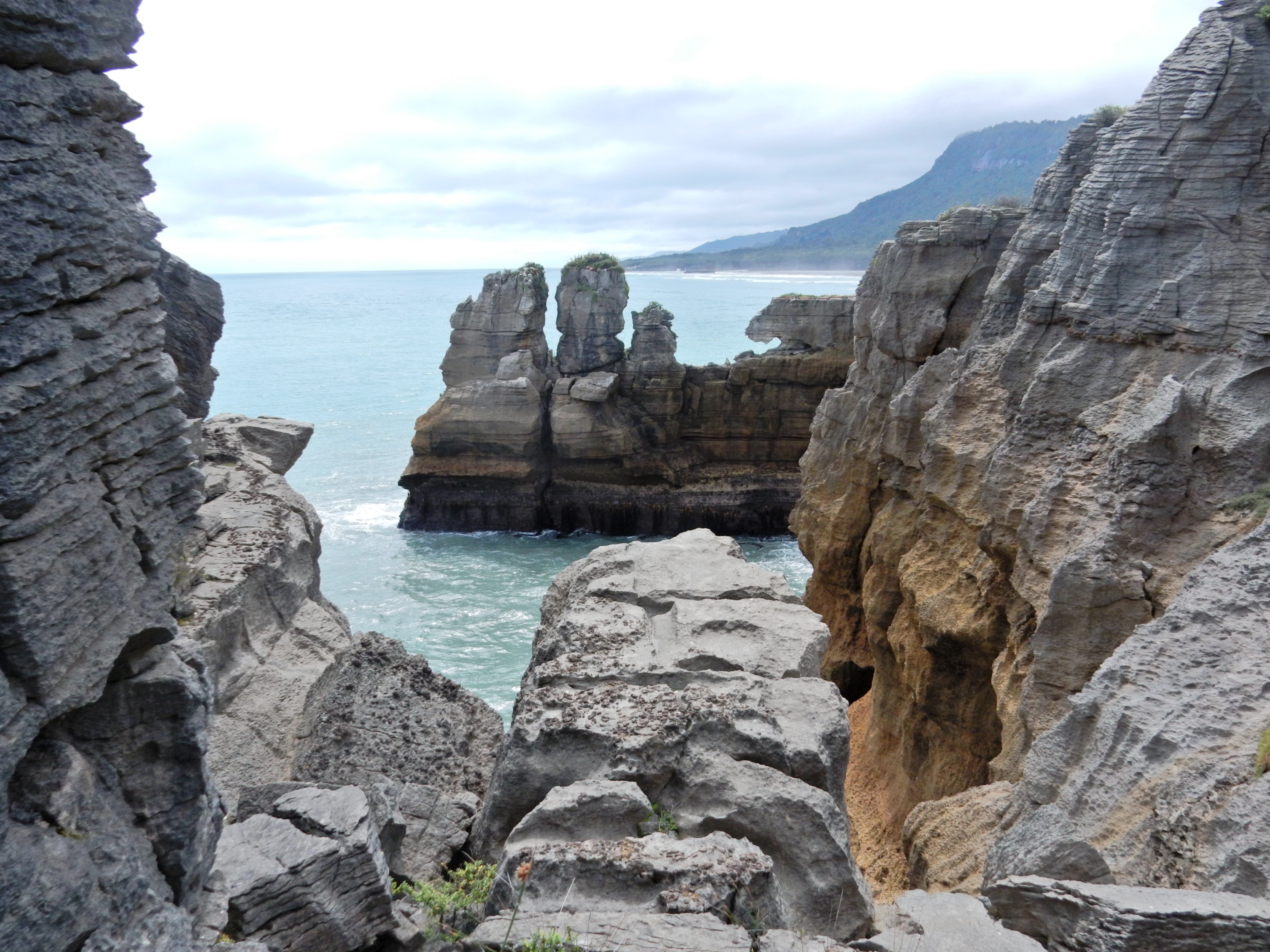
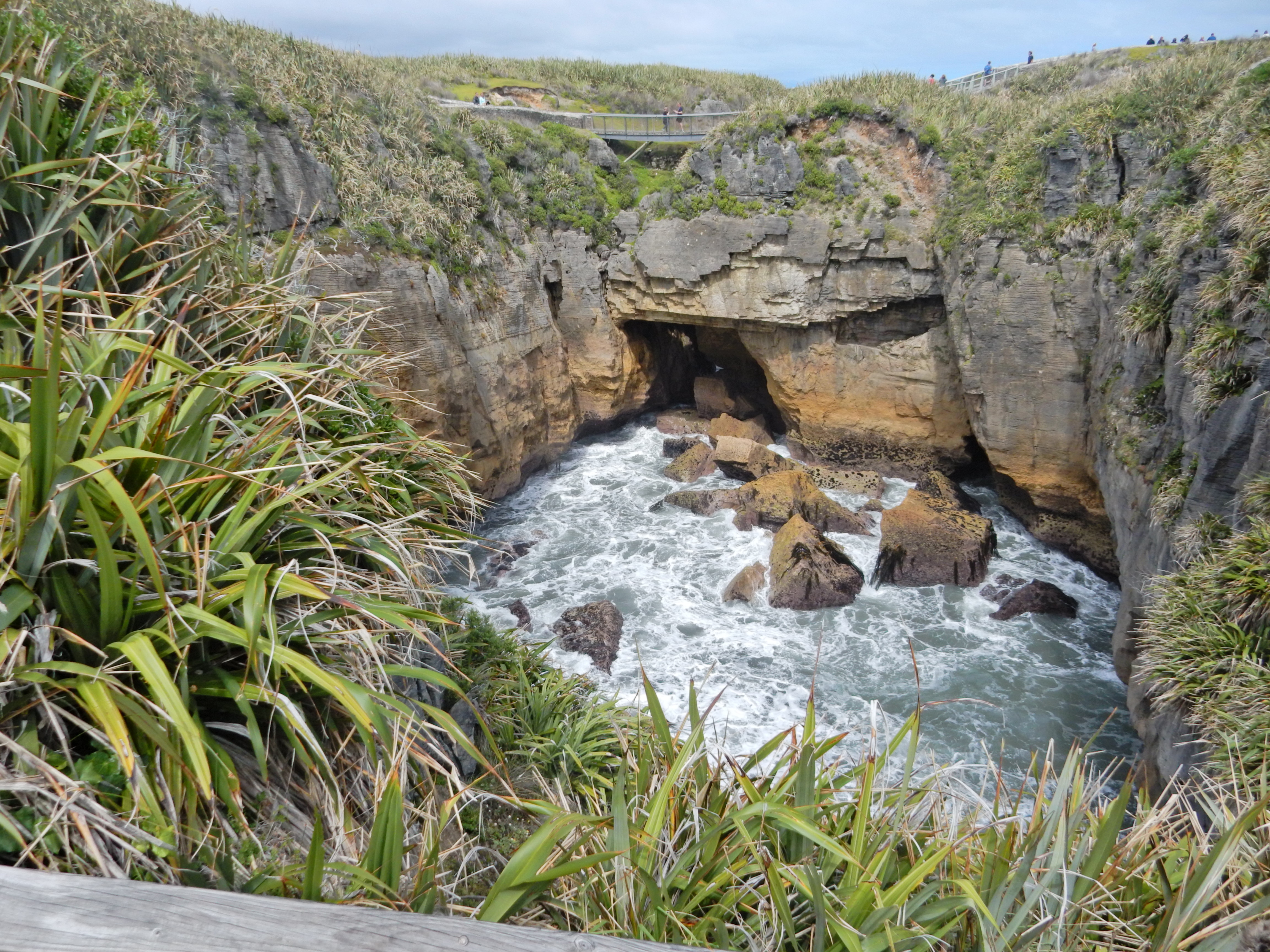
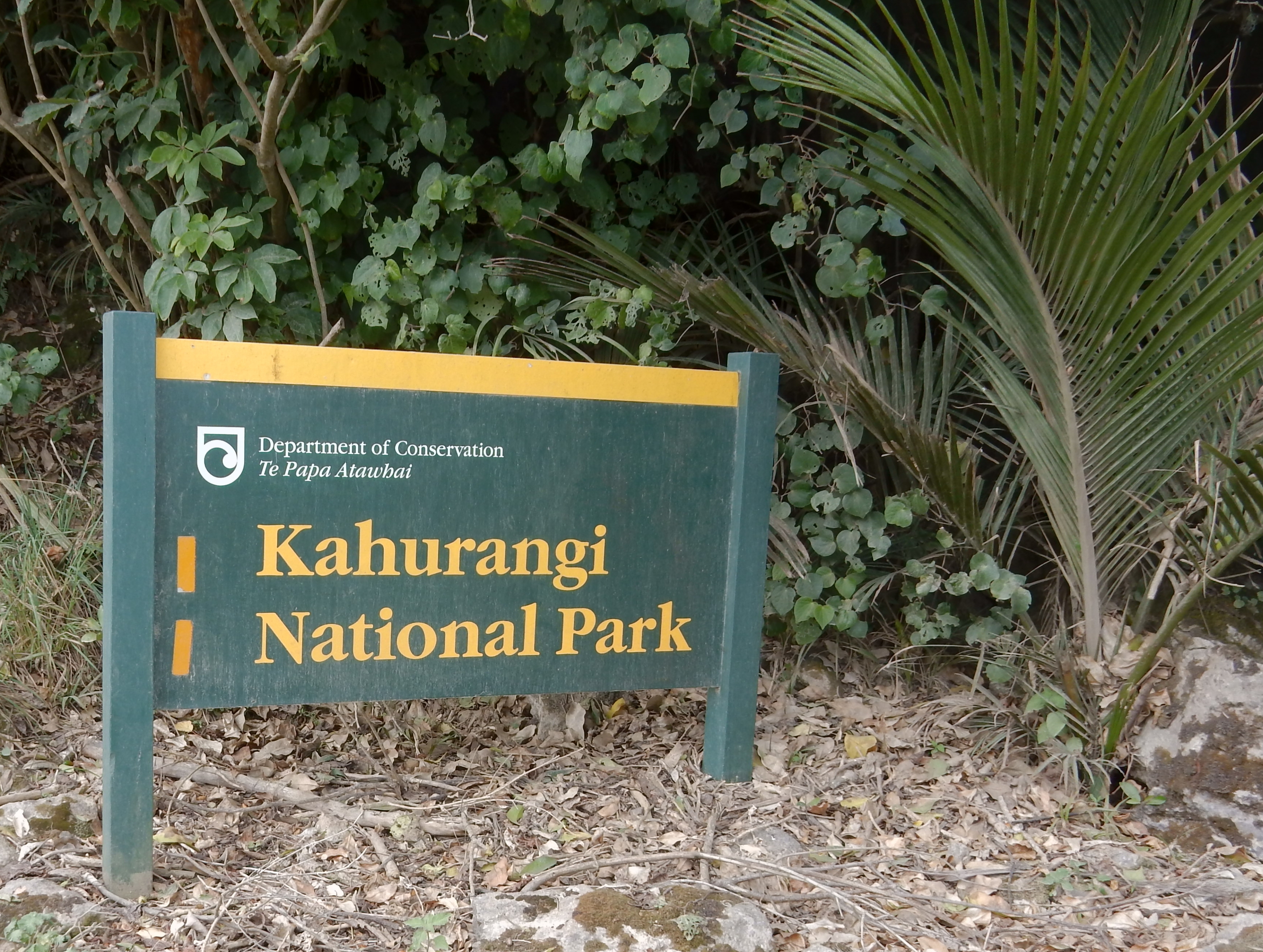
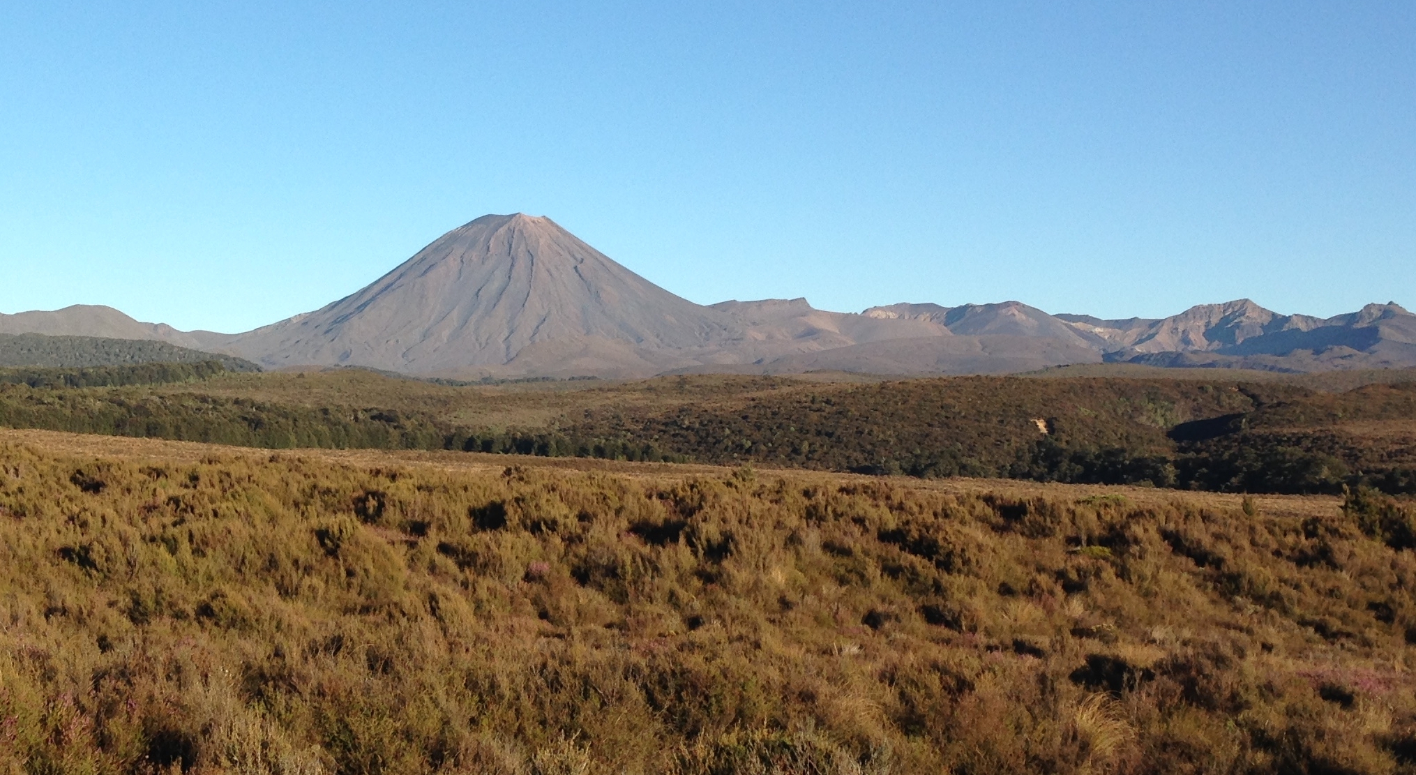
Arriving at Tongariro National Park – New Zealand’s oldest national park and a World Heritage area

DSCN0444

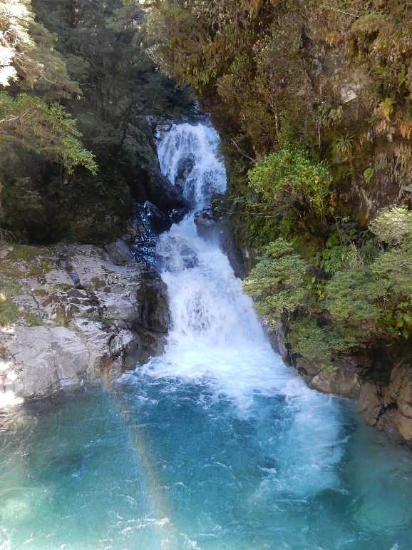
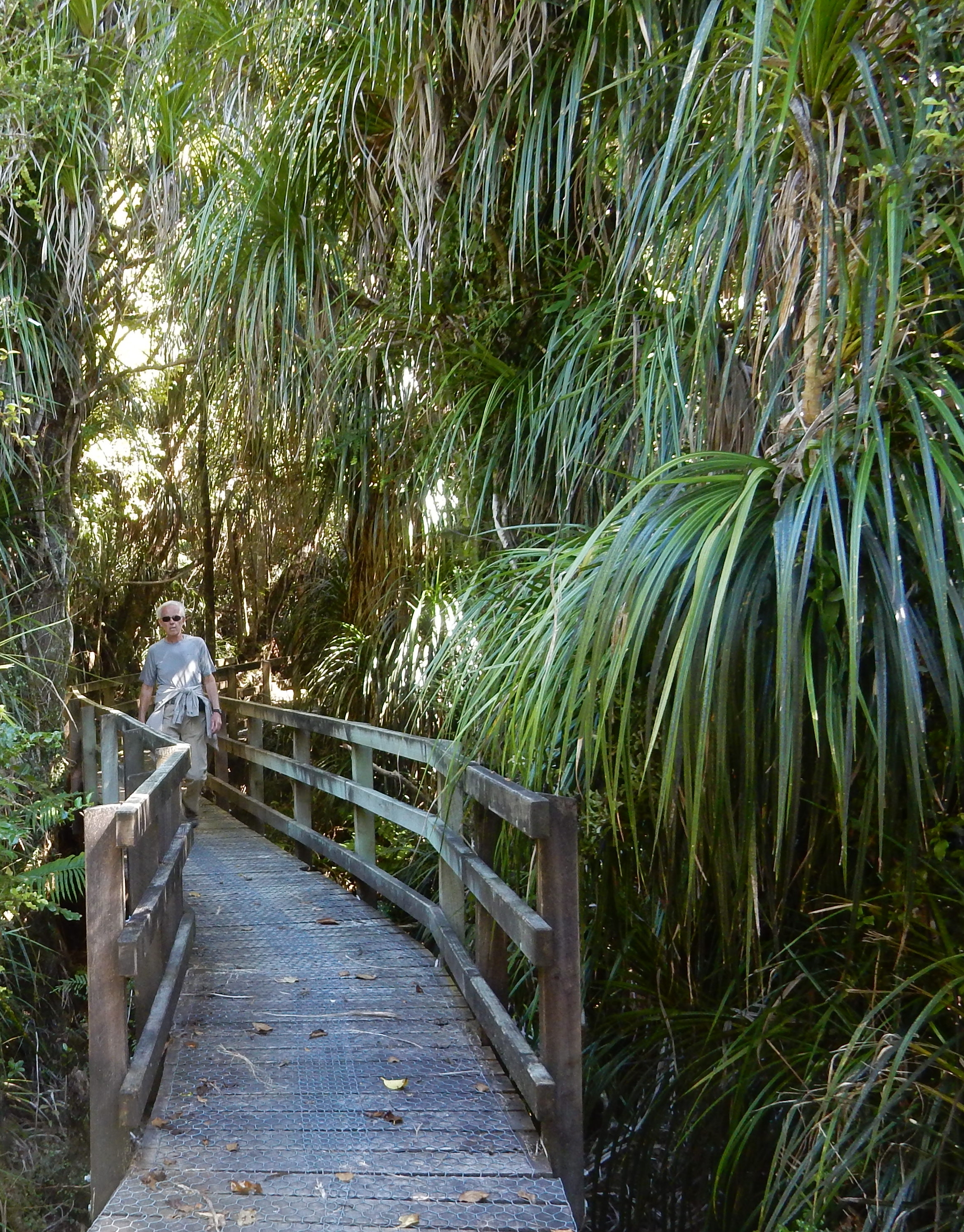
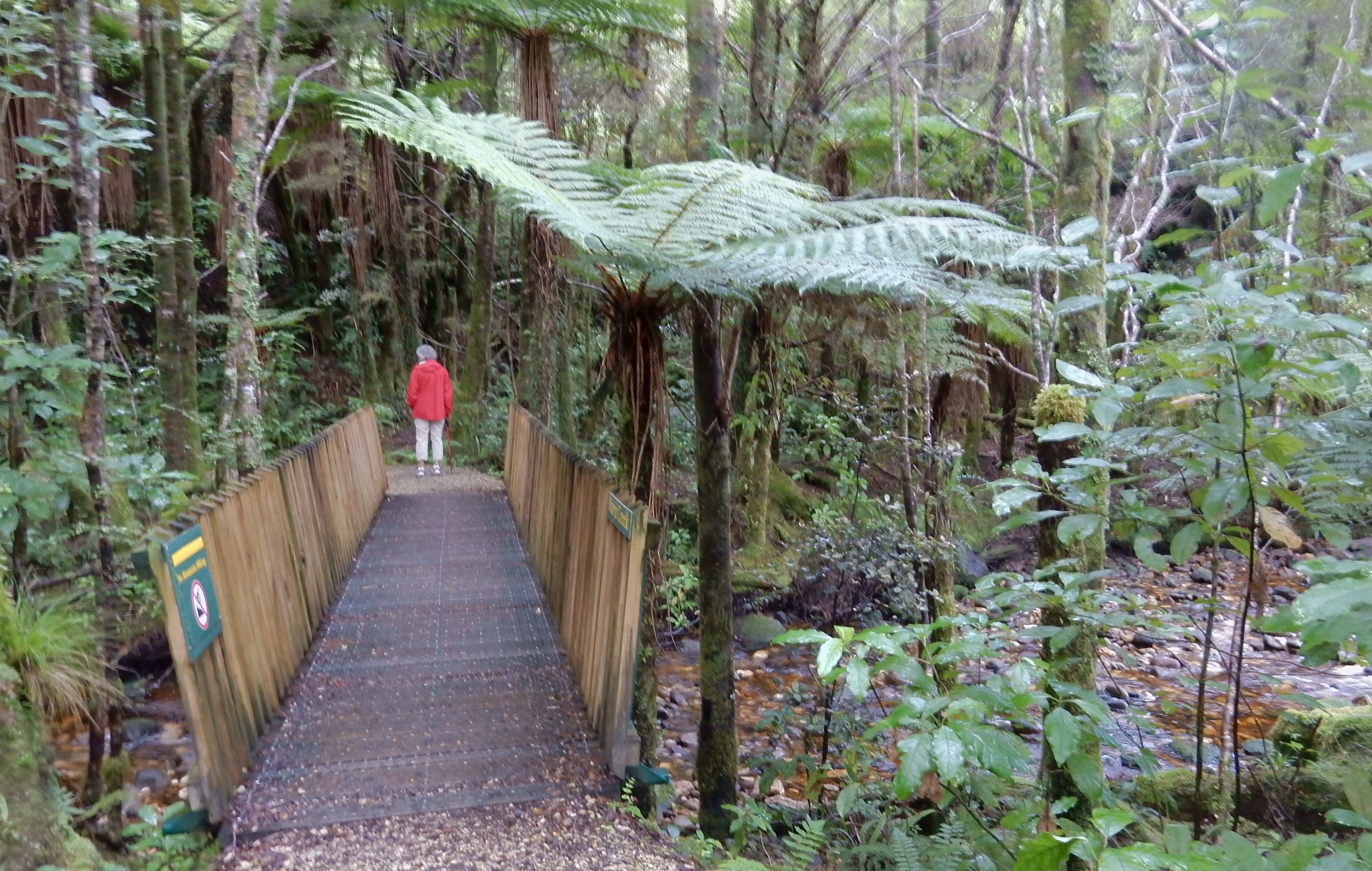
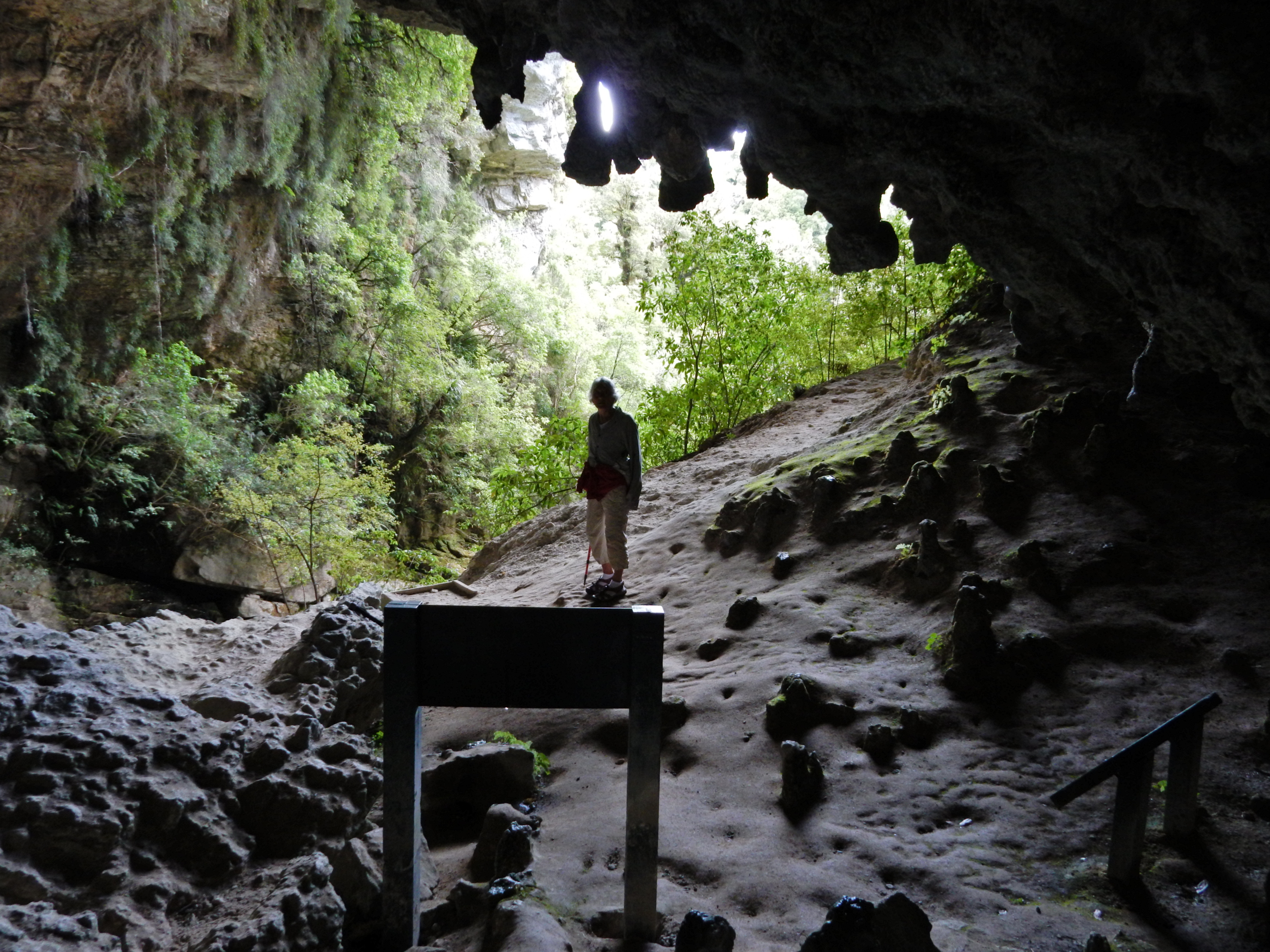
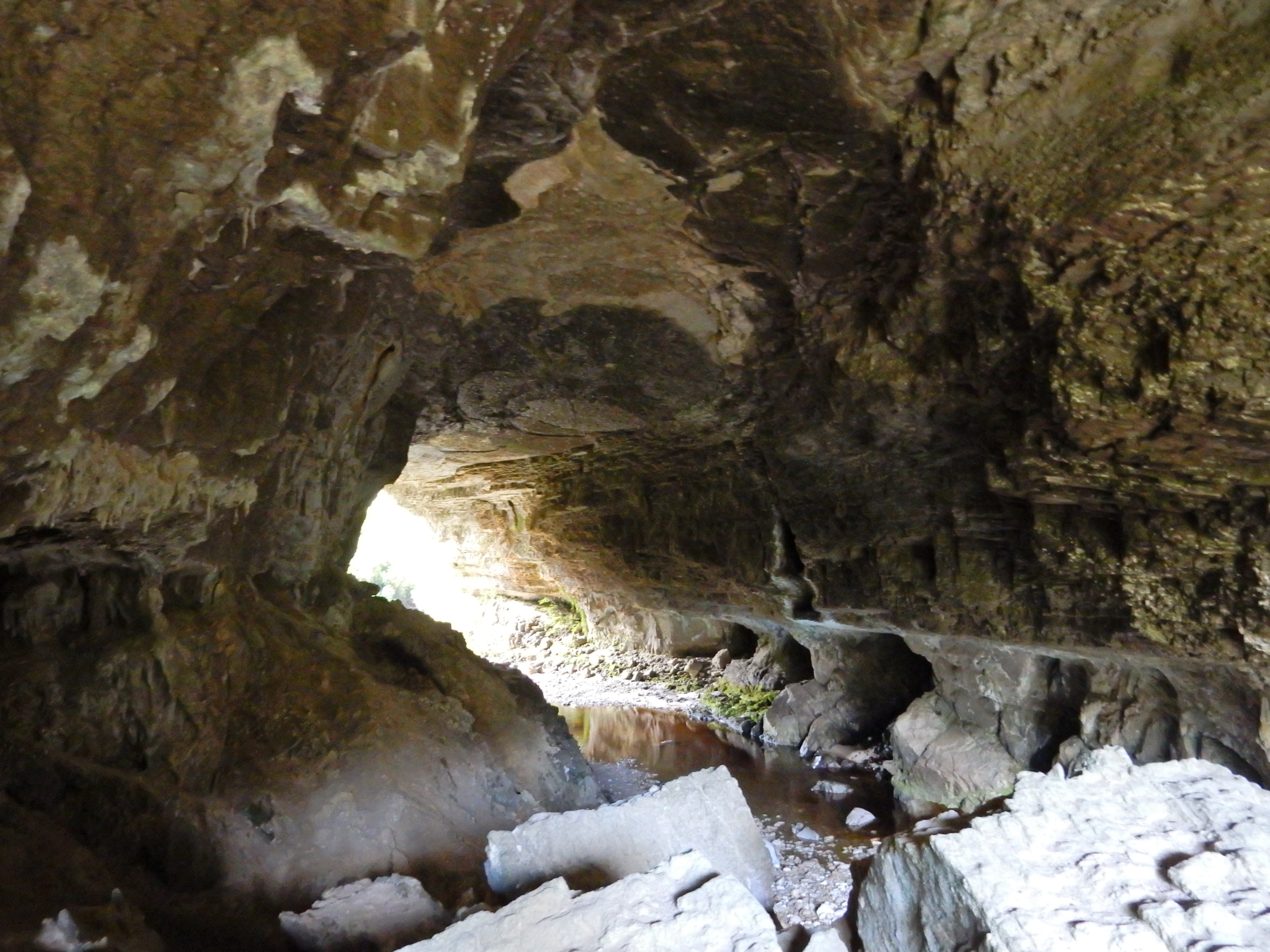
We did the Mounds and Tawhai Falls Walks as we drove into the park

DSCN0445

Can’t see the volcanoes – just clouds

DSCN0448
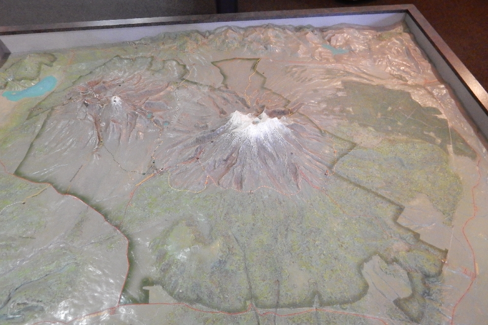
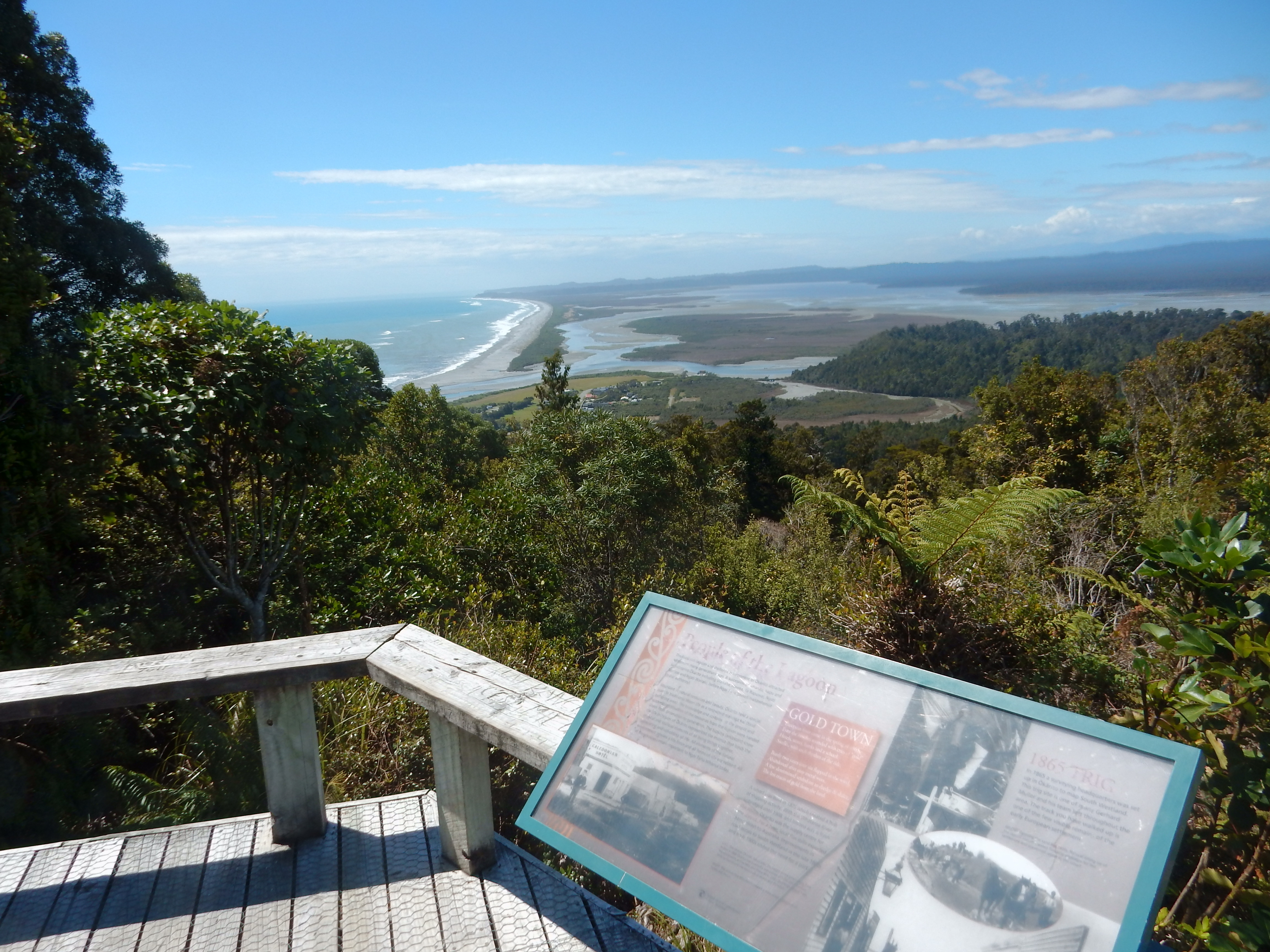
Got to Whakapapa Village mid-afternoon, checked into our cabin and then went to the Visitor Center – it is located in the village. The village is left center in the photo; this is a big park.

DSCN0450

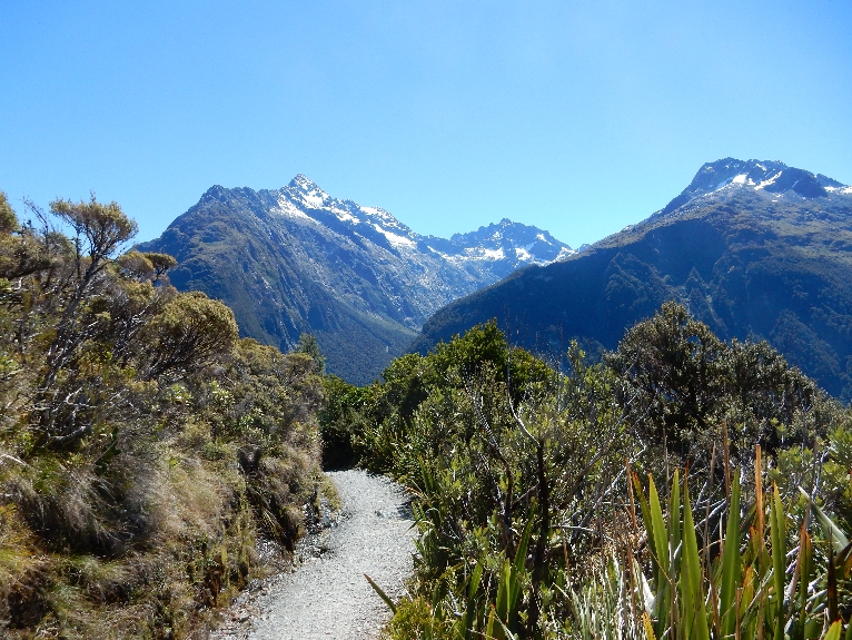
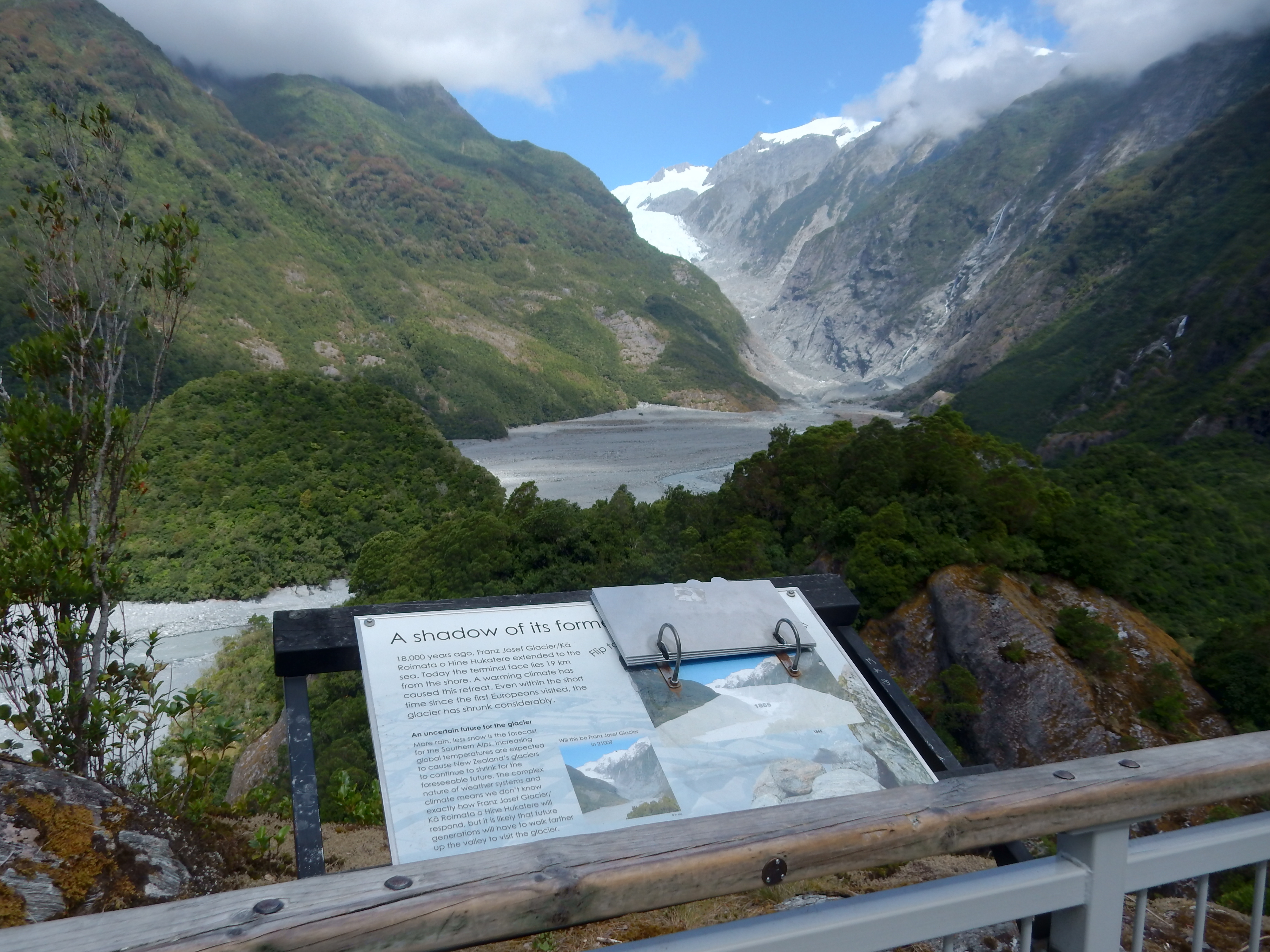
My original plan was to do the Tongariro Alpine Crossing – one of New Zealand’s Great Walks. It is 13 miles one-way up over and through the volcanic landscape. Unfortunately Helen’s knee surgery did not permit this trek.

DSCN0488

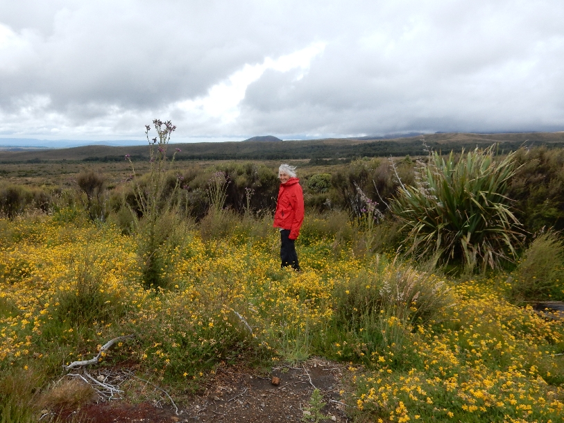
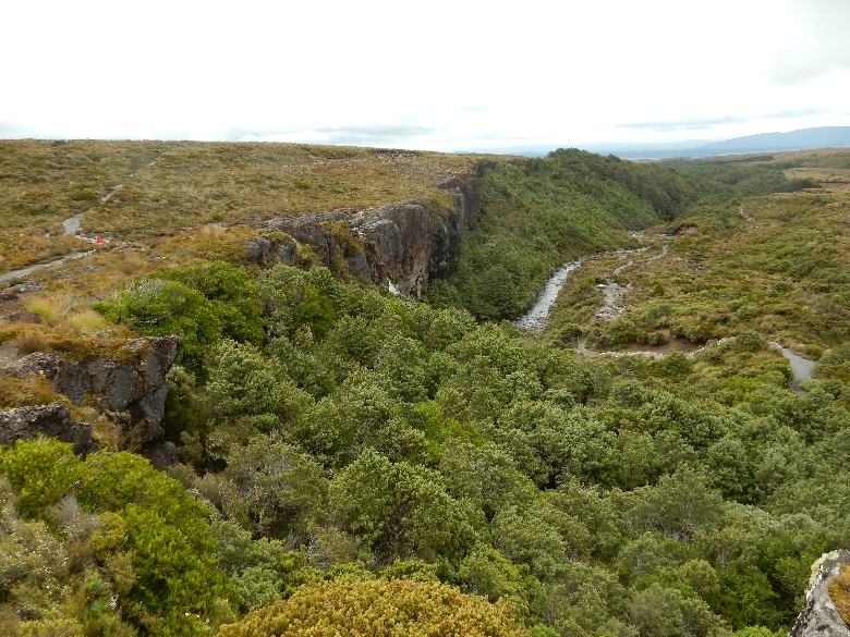
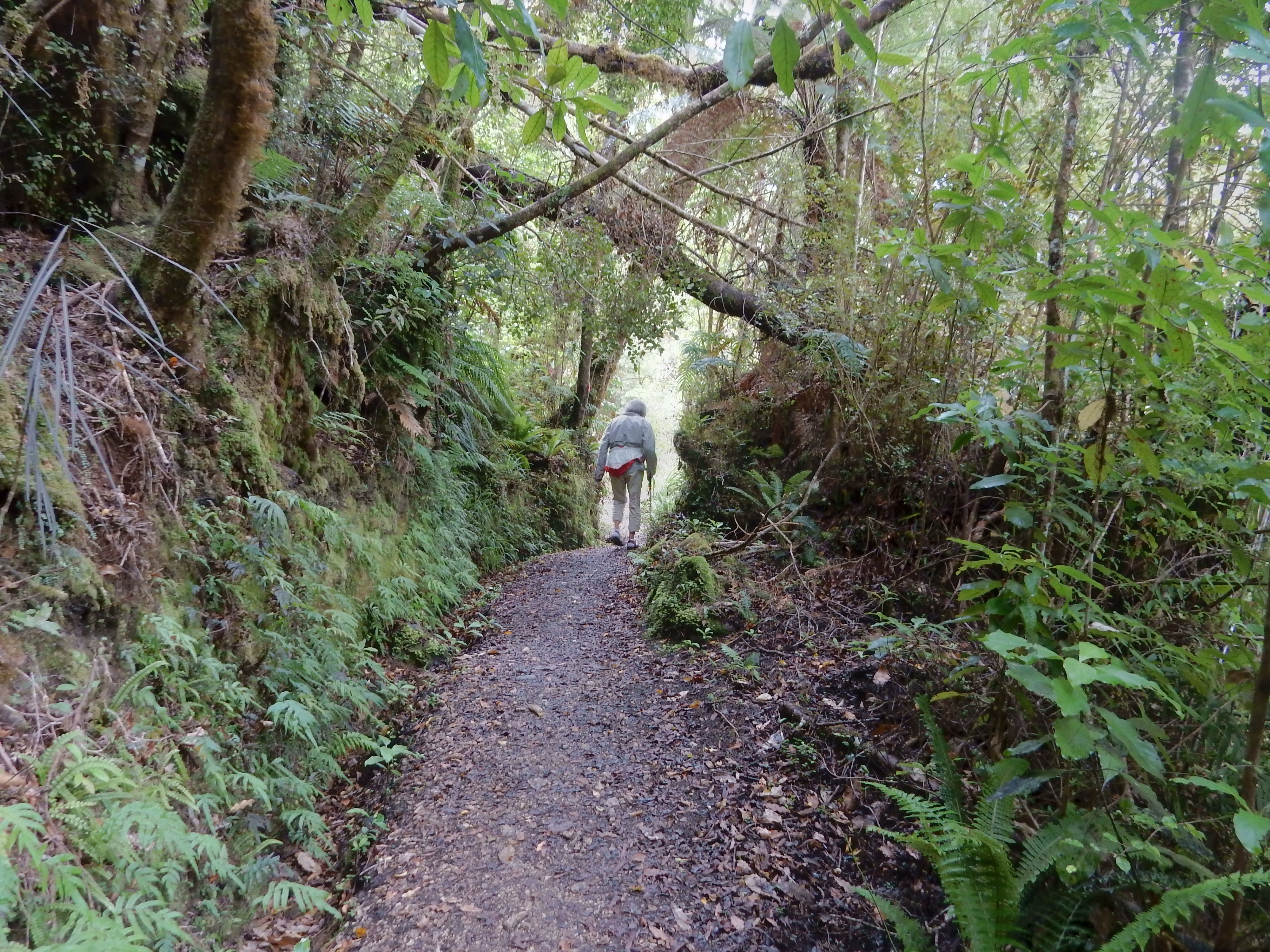
Instead, we did the Taranaki Falls Loop.

DSCN0487
Notice that the map states 2 hours for the loop. In the U.S., trails are stated in miles.  In New Zealand they are stated in minutes and hours.  This estimate is based on the average adult hiker moving at a moderate pace. The advantage of the New Zealand system is that it considers terrain, e.g. difficulty of route. However, I am still preferential to our system, probably because I am used to it and like to determine my own level of difficulty. At the same time, I think the loop was about 4 miles and we did do it in two hours stopping only for pictures.

Starting on the trail

DSCN0453

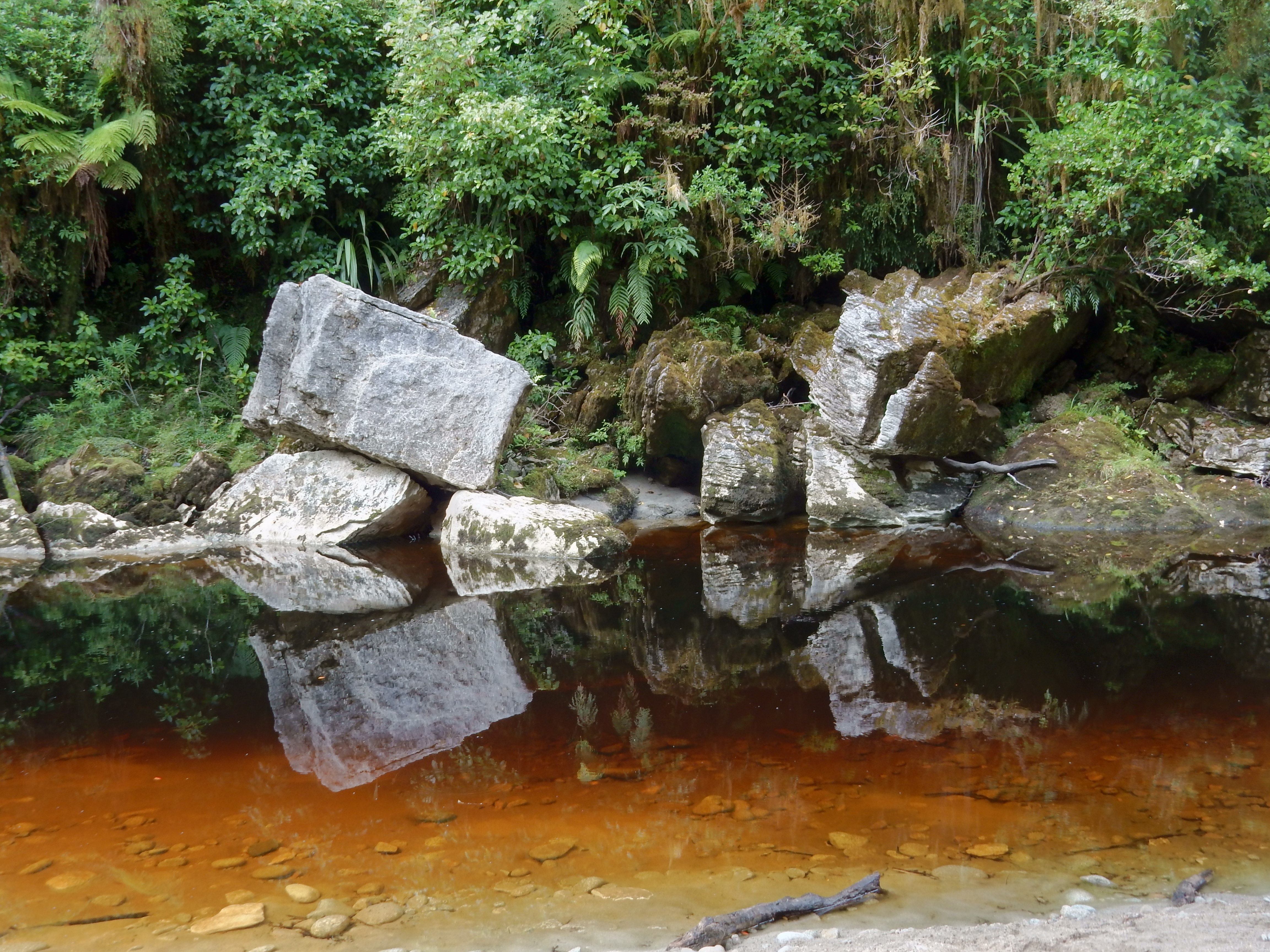
Dropping down to Wairere (Mangatepopo) Stream canyon, we had some rain and lots of wind.

DSCN0455

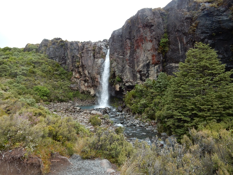
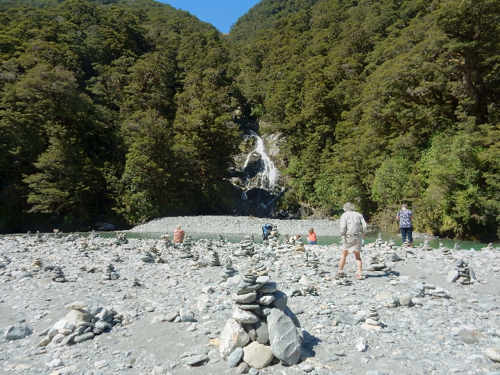
The next series of pictures show us approaching and then leaving Taranaki Falls behind

DSCN0462


DSCN0465

Too cold for a dip

DSCN0469


DSCN0470


DSCN0472

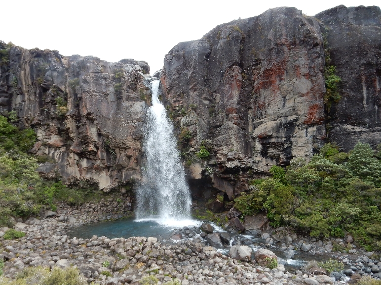
Falls just left of center and Helen (red jacket) on left in picture

DSCN0484

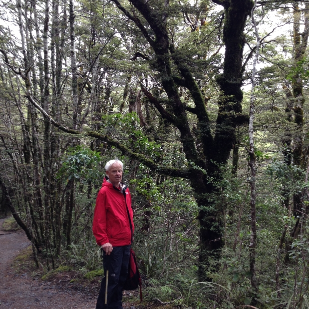
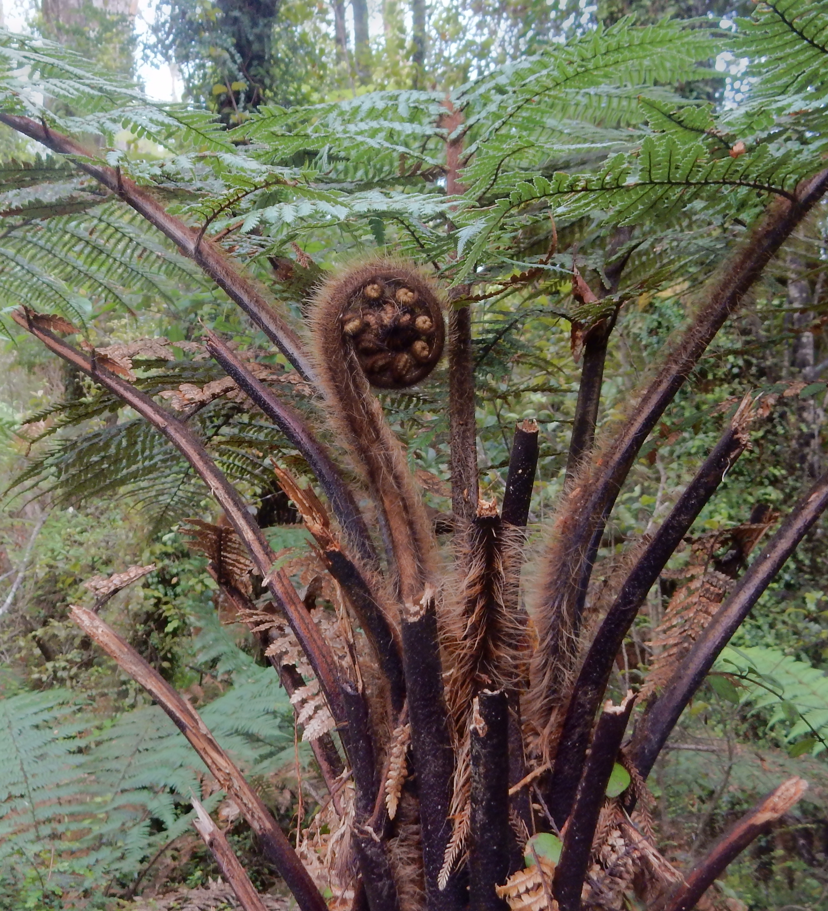
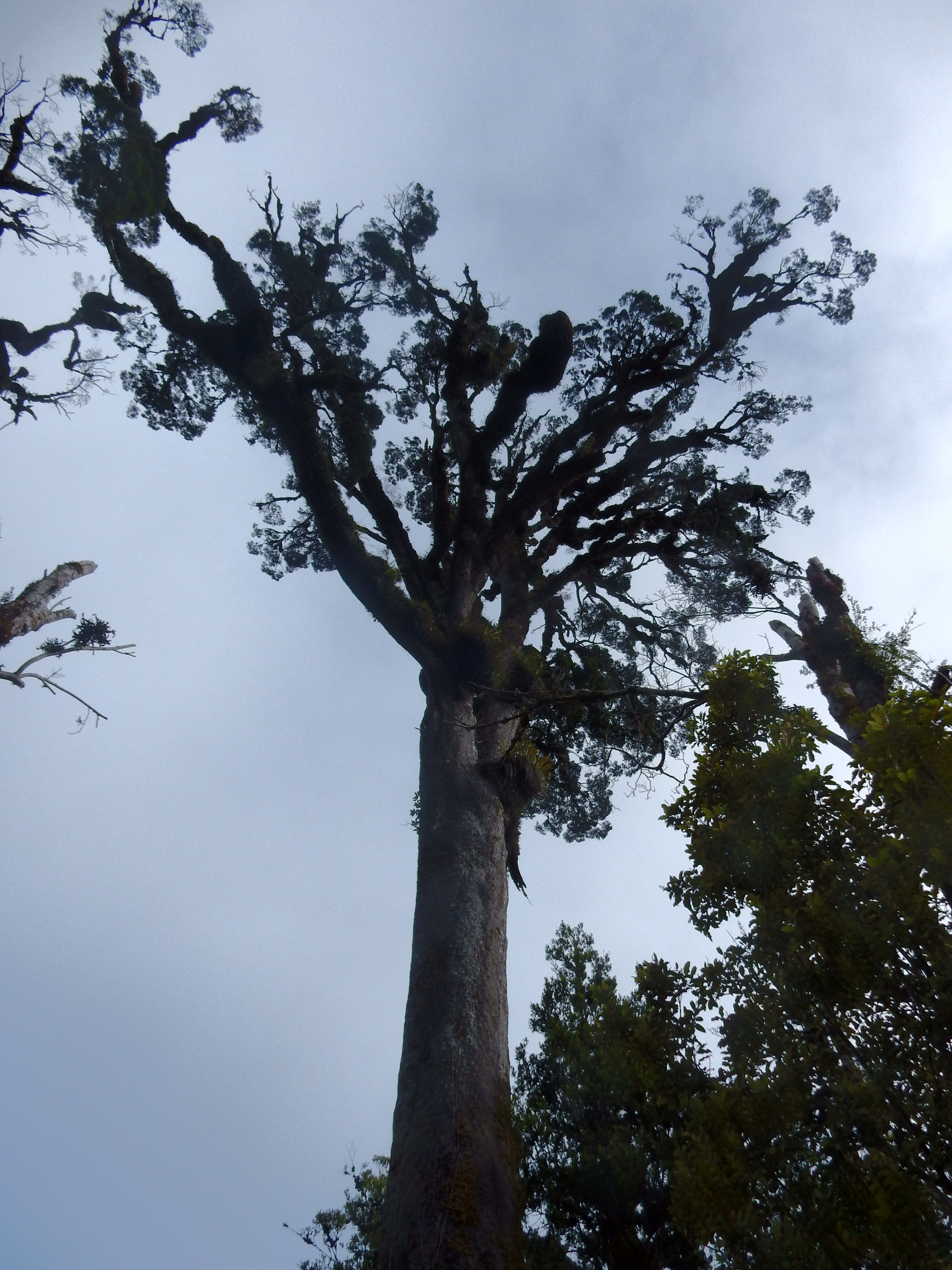
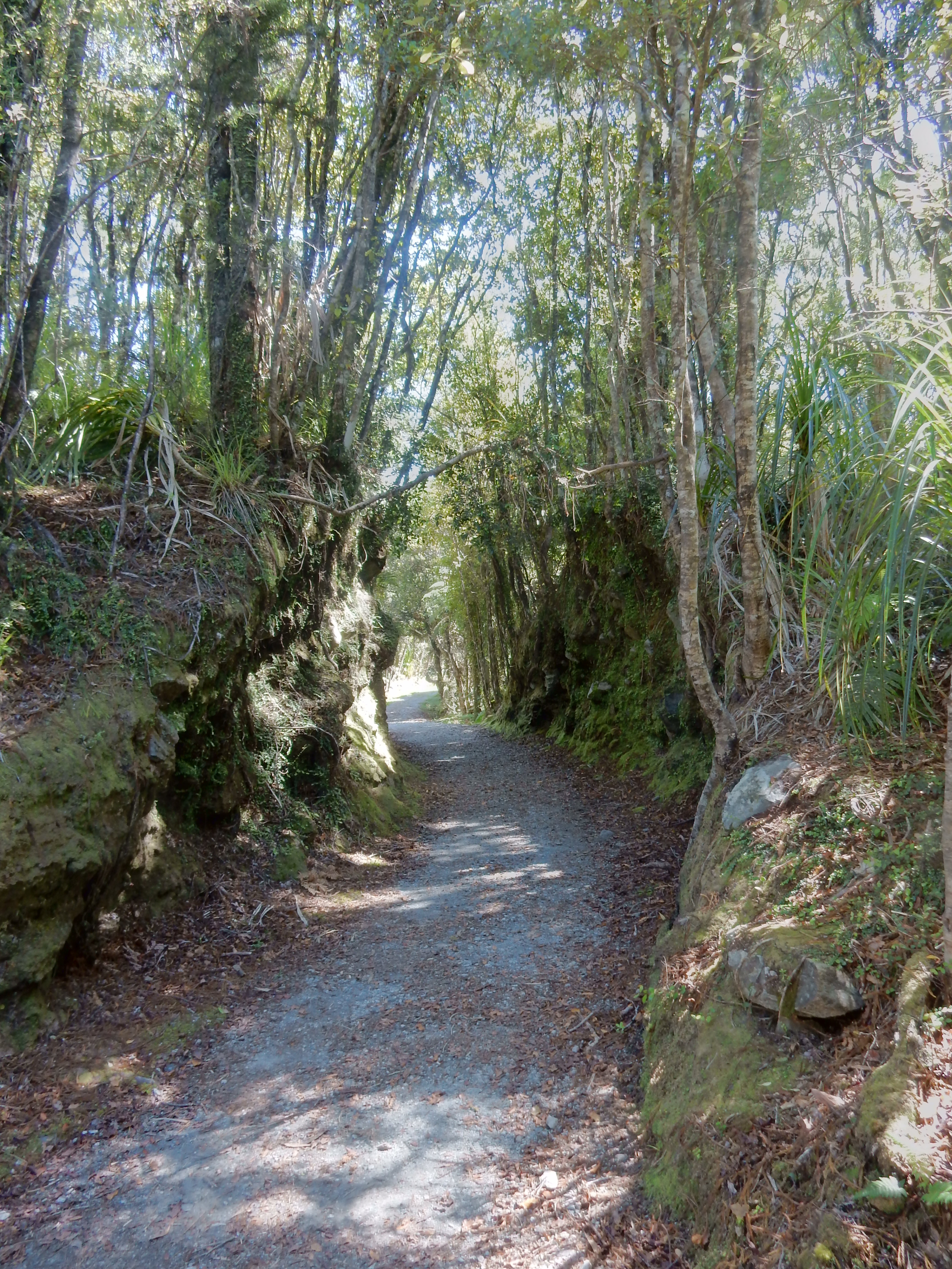
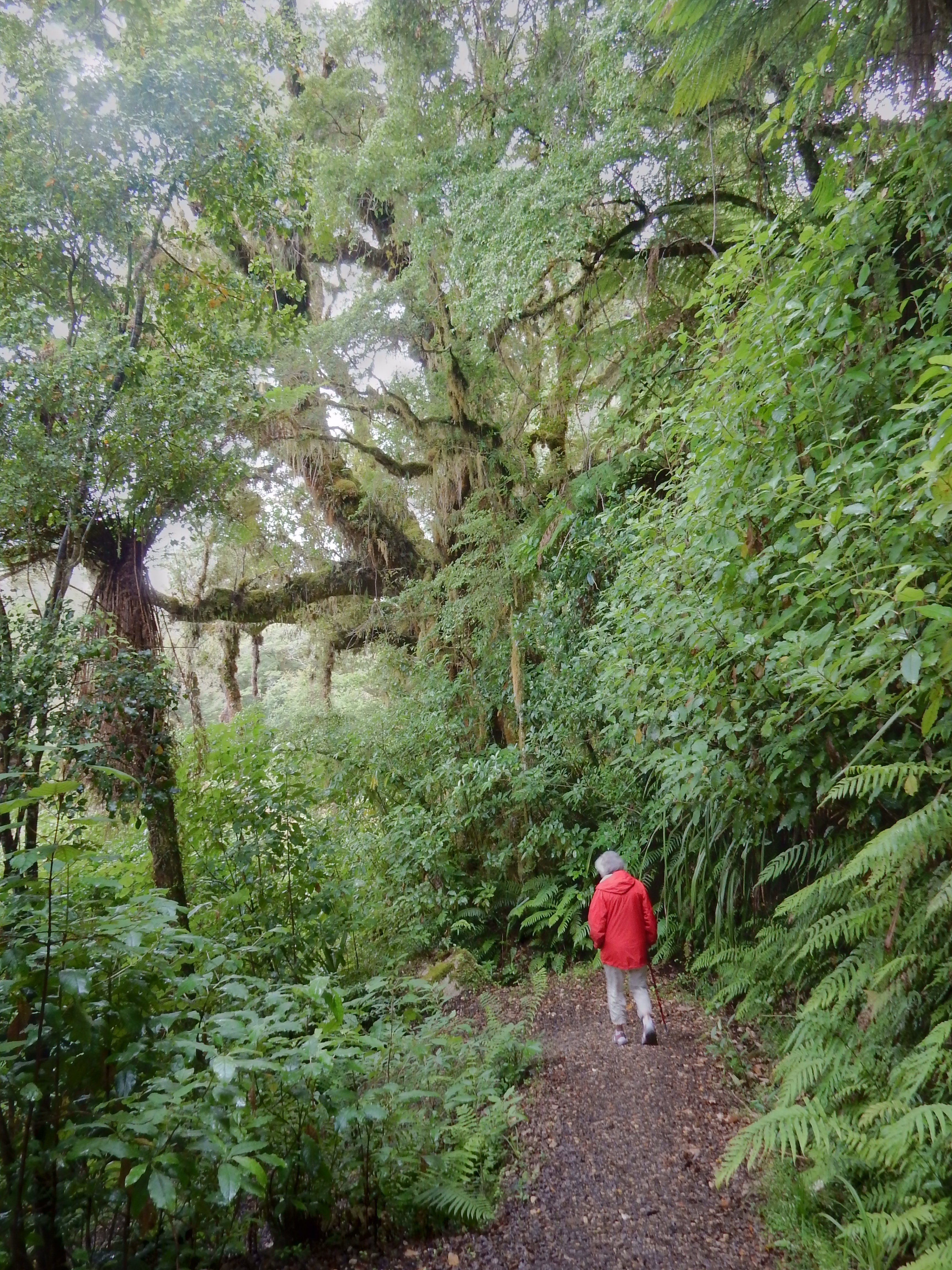
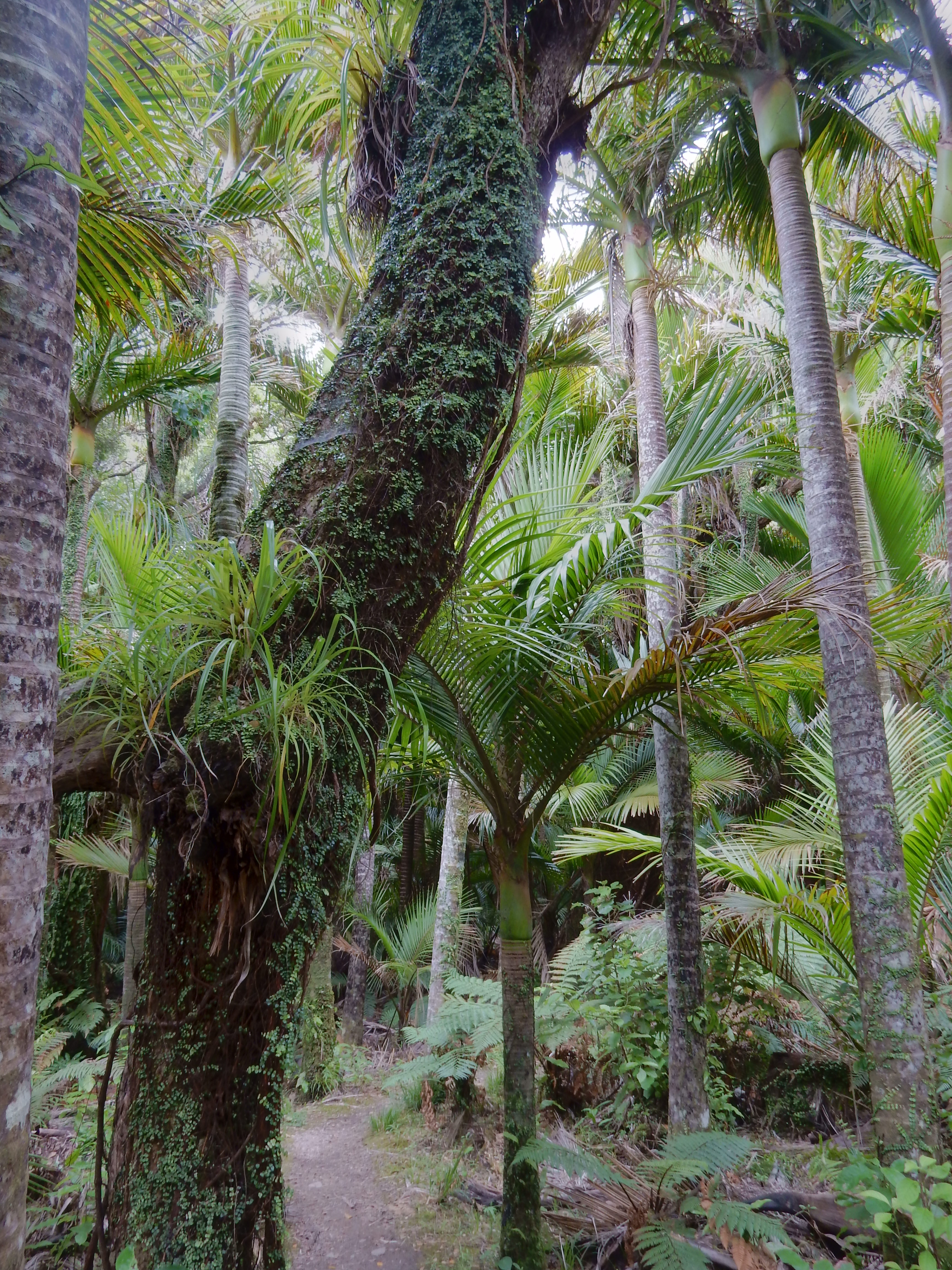
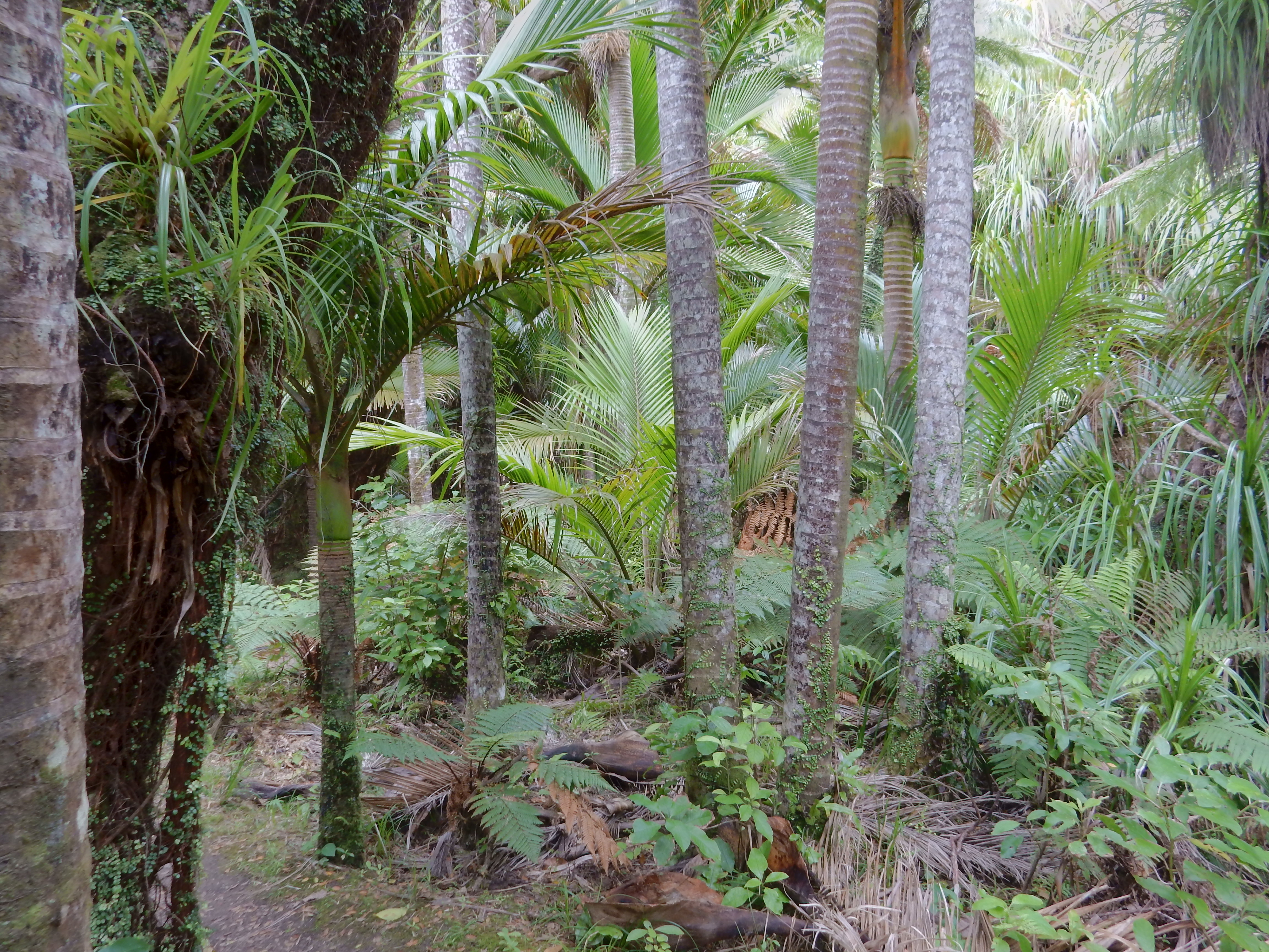
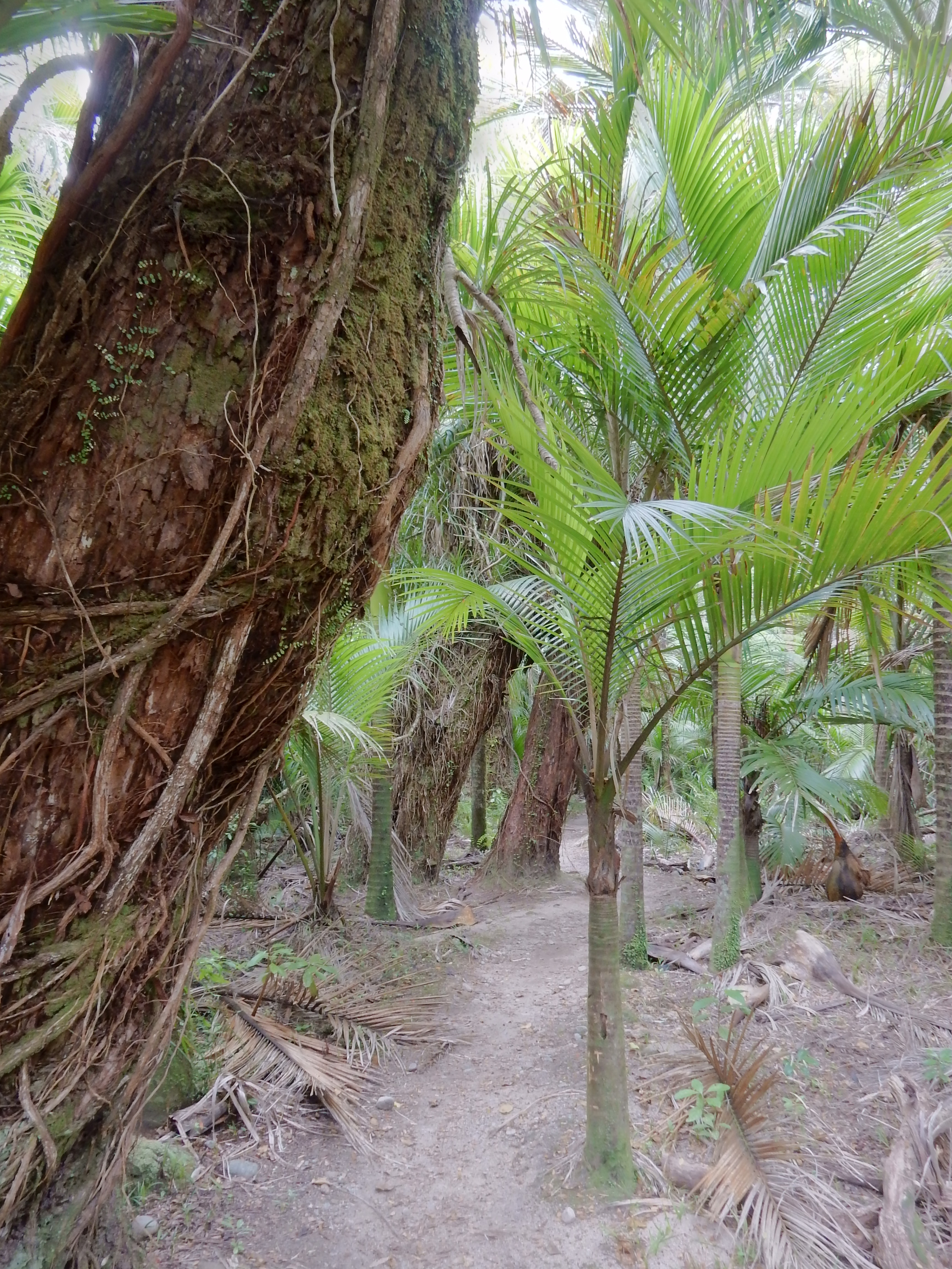
Different kind of forest, it was a good hike

DSCN0485.1

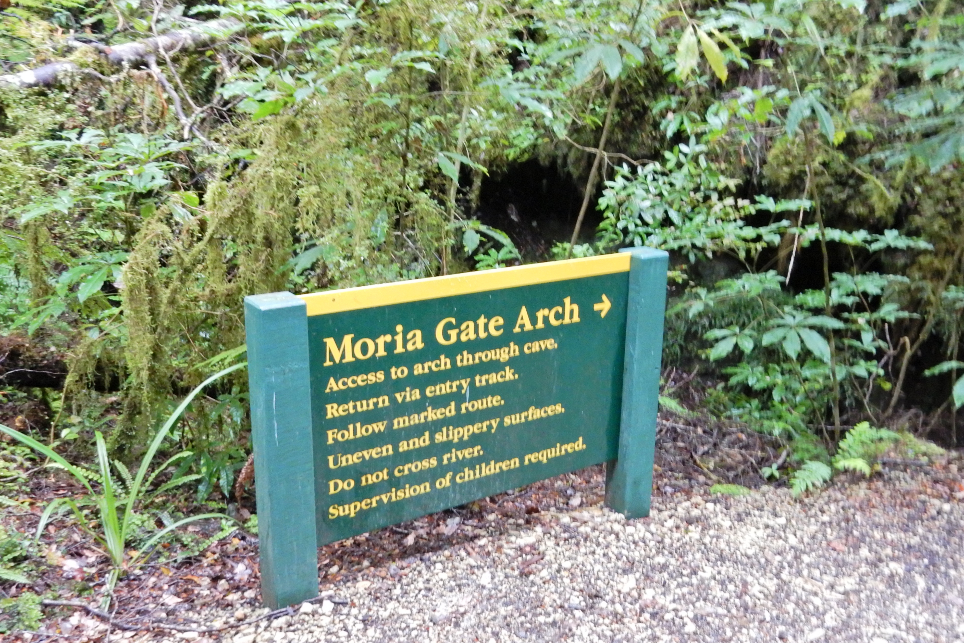
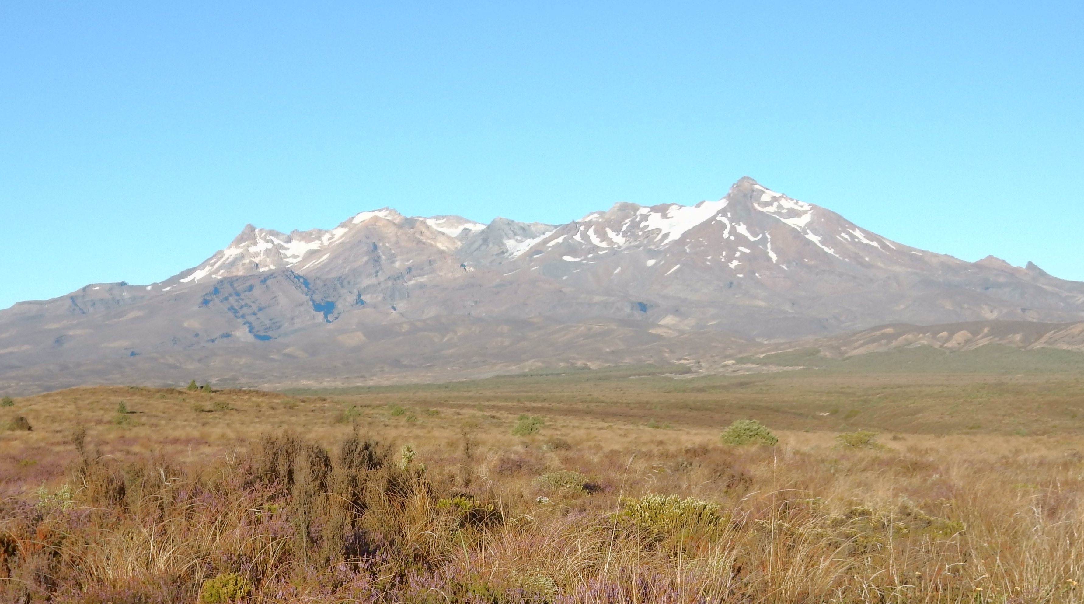
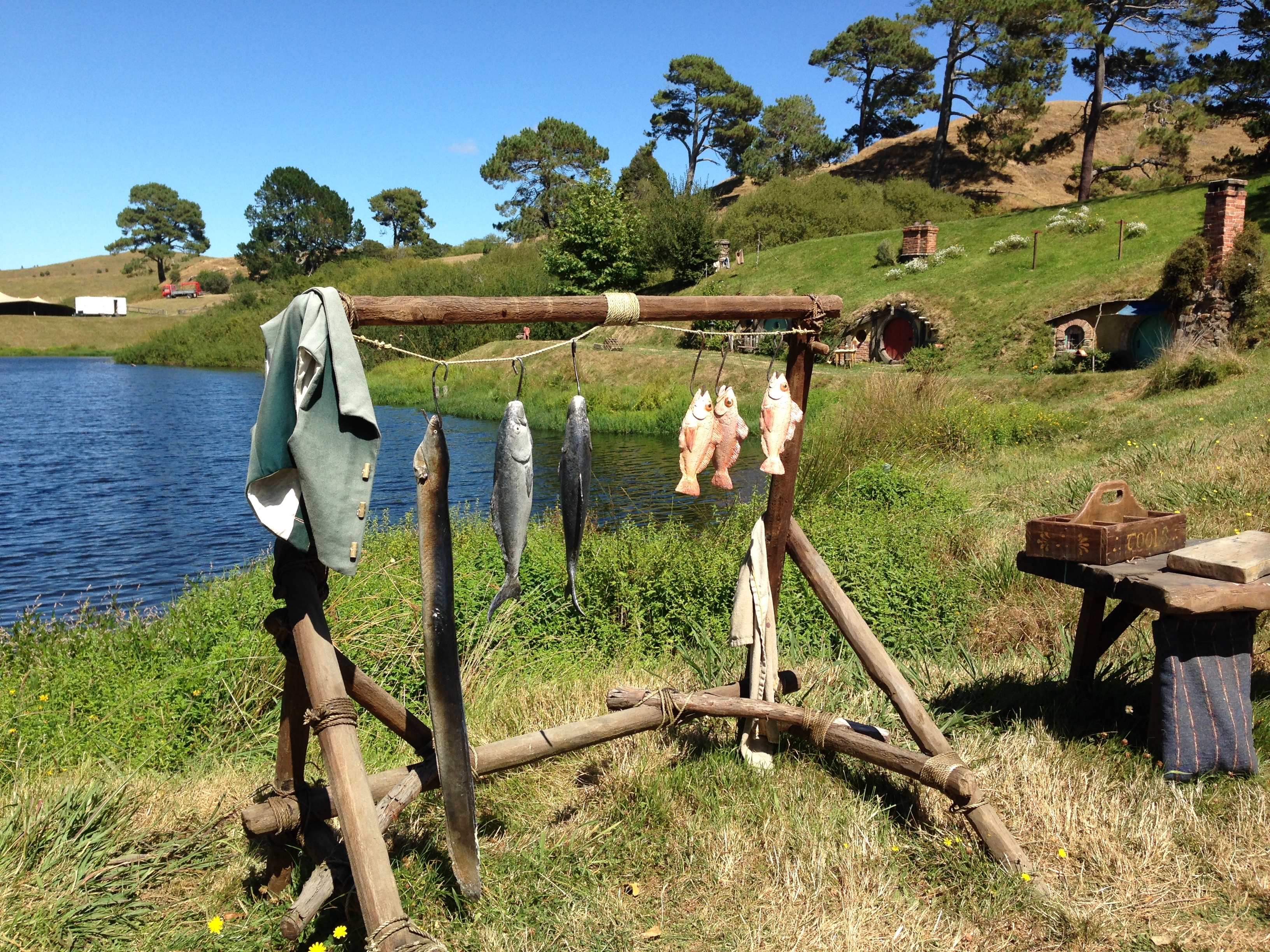
Before going out for dinner, we drove up to the Mt Ruapehu Ski area.  There is a formation there that is called Meads Wall – it was used in the Hobbit trilogy.  However, the area was socked-in and it was hard to see through the clouds.


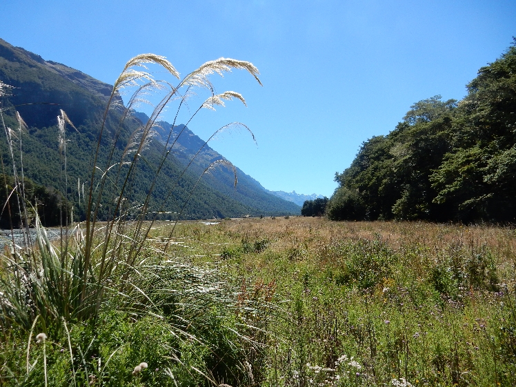
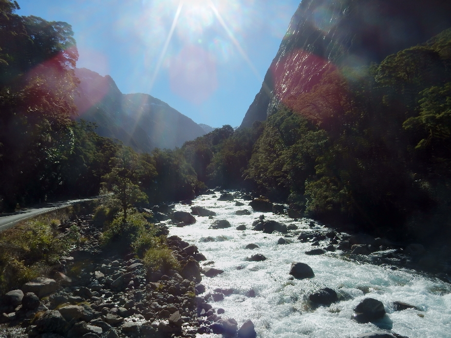
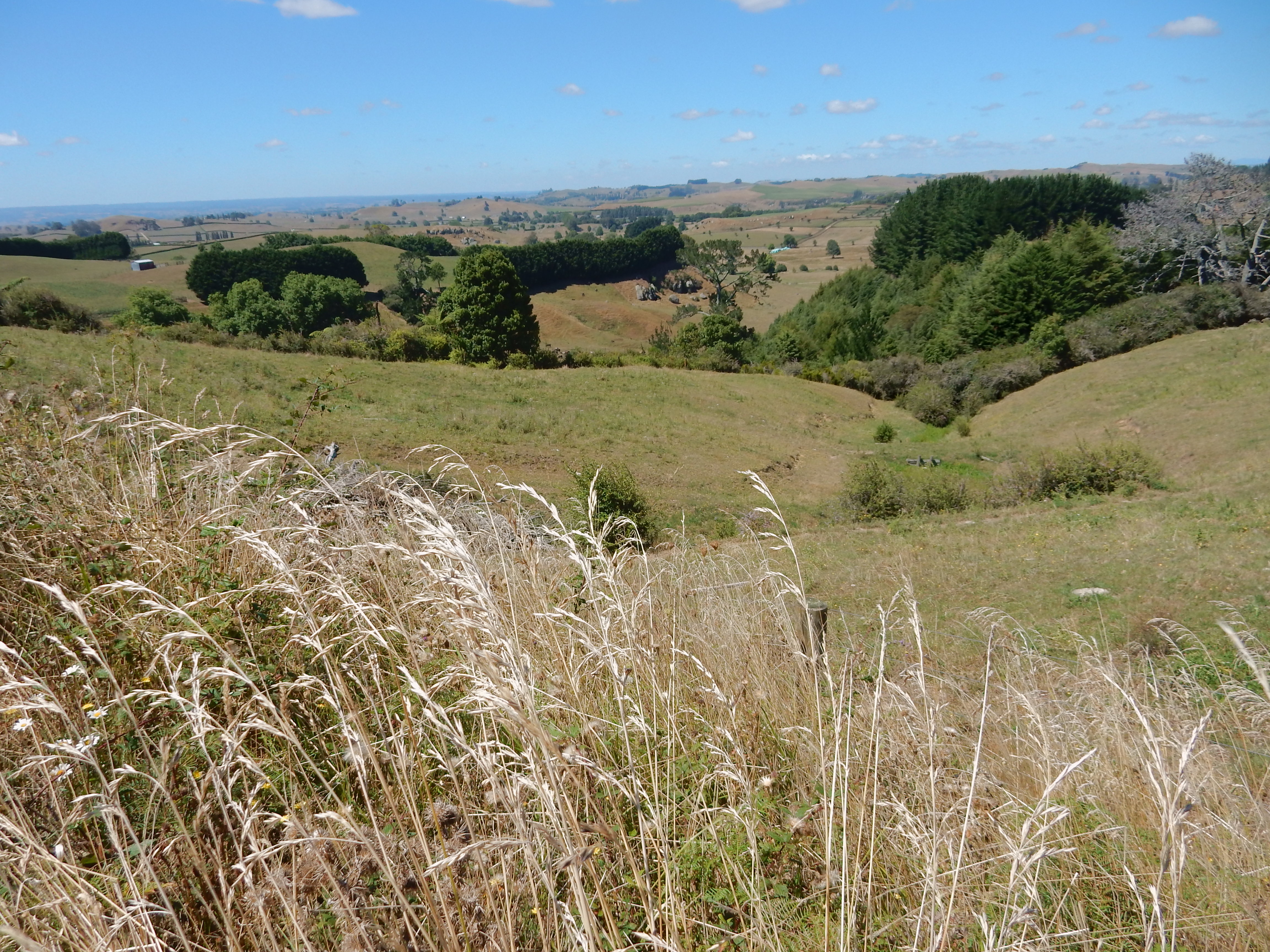
2/5 – Woke up to rain, packed and were out of our cabin at 6:30am.  We were never able to see the tops of the volcanoes.  Perhaps we’ll get a view on the way back to Auckland. We drove south on a very curvy, up-down, Rt 4 to Whanganui.  It was slow going but the scenery was great.

DSCN0493

I have to look up these numbers – but I seem to recall that 75-80 percent of the vegetation and 60 percent of the animals in NZ are not found anywhere else in the world.

DSCN0498

Not many people around, only 4 million in the entire country.  There were at least 100 pair of shoes hanging on this fence.

DSCN0499

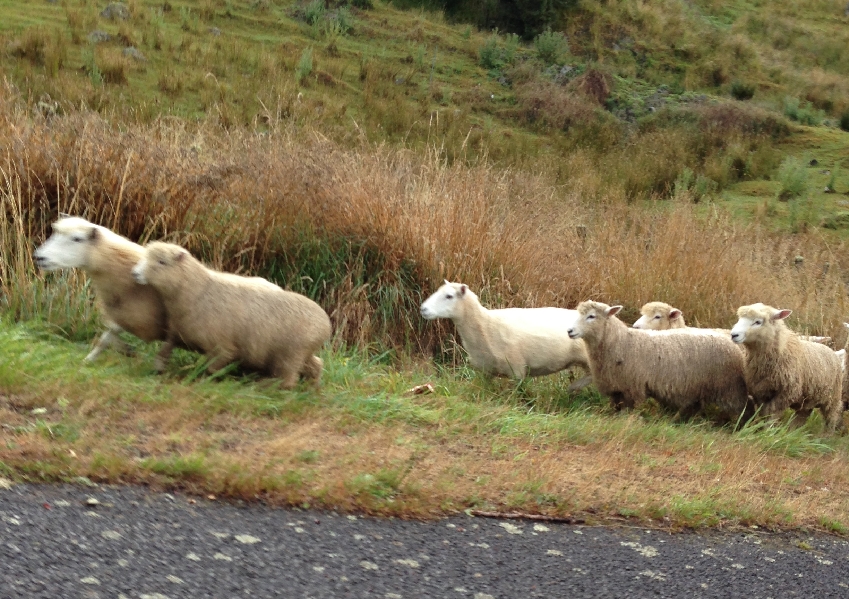
It took us a good 25 minutes to get past this herd of sheep,

DSCN0494.1

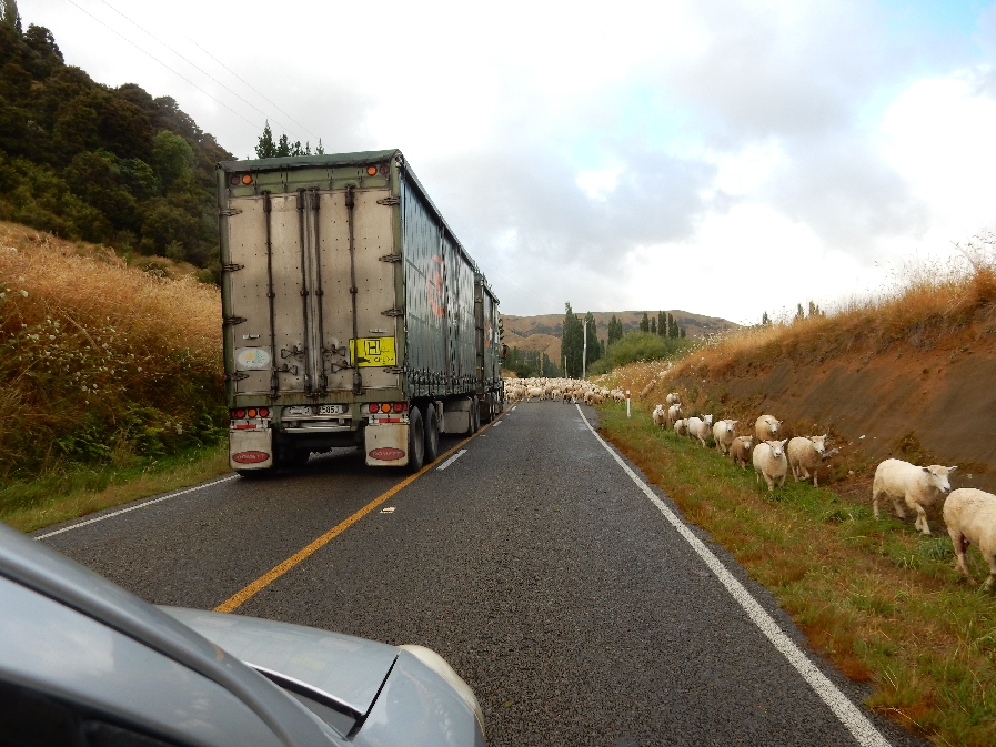
herding dogs and shepherds on their ATVs

DSCN0494


DSCN0497.1


DSCN0497.2

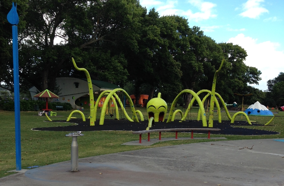
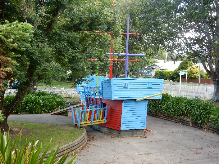
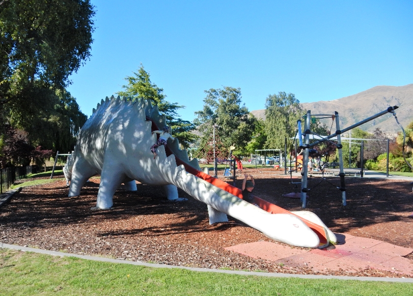
There was a wonderful kids park in Whanganui, so we had to stop for pictures

DSCN0500.1


DSCN0500.4


DSCN0501


DSCN0502


DSCN0503

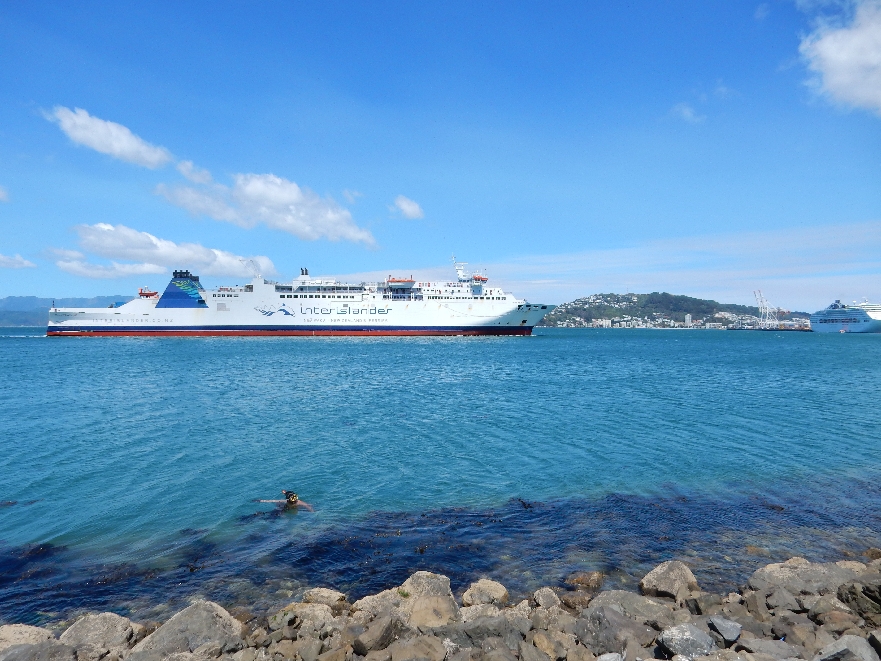
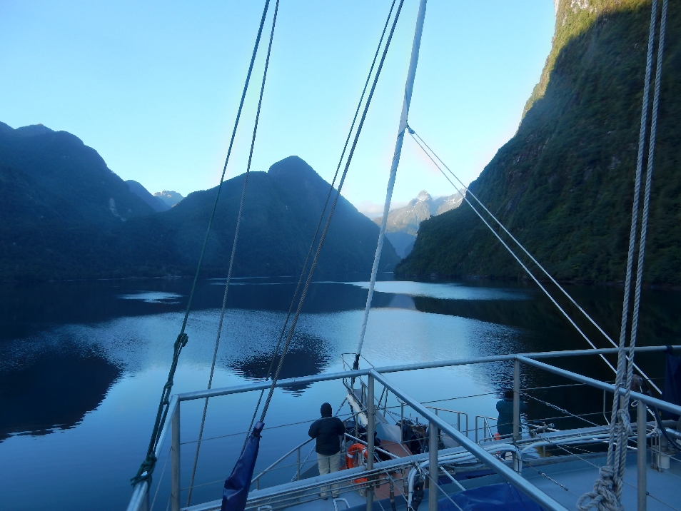
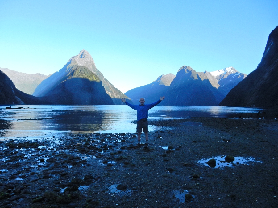
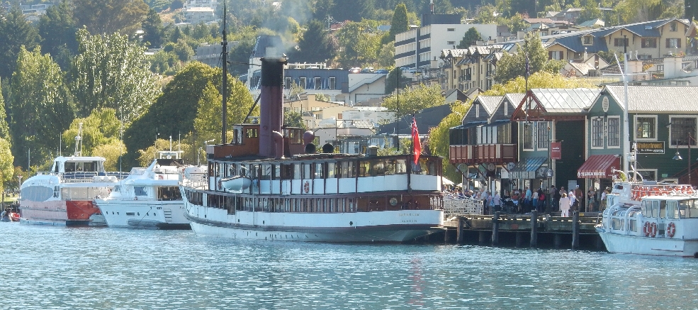
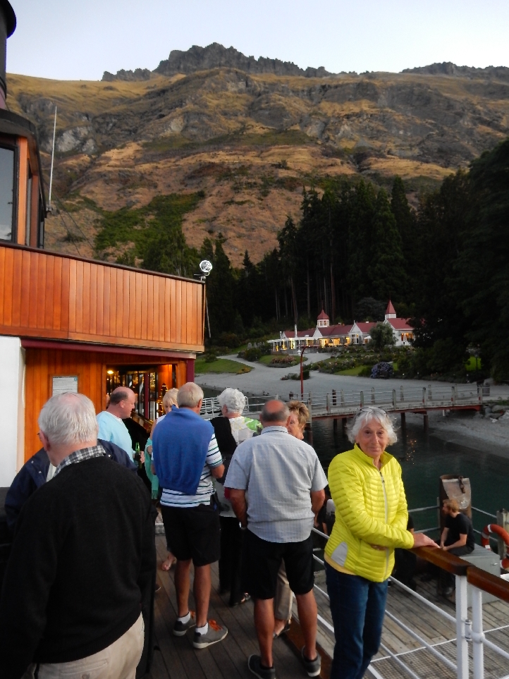
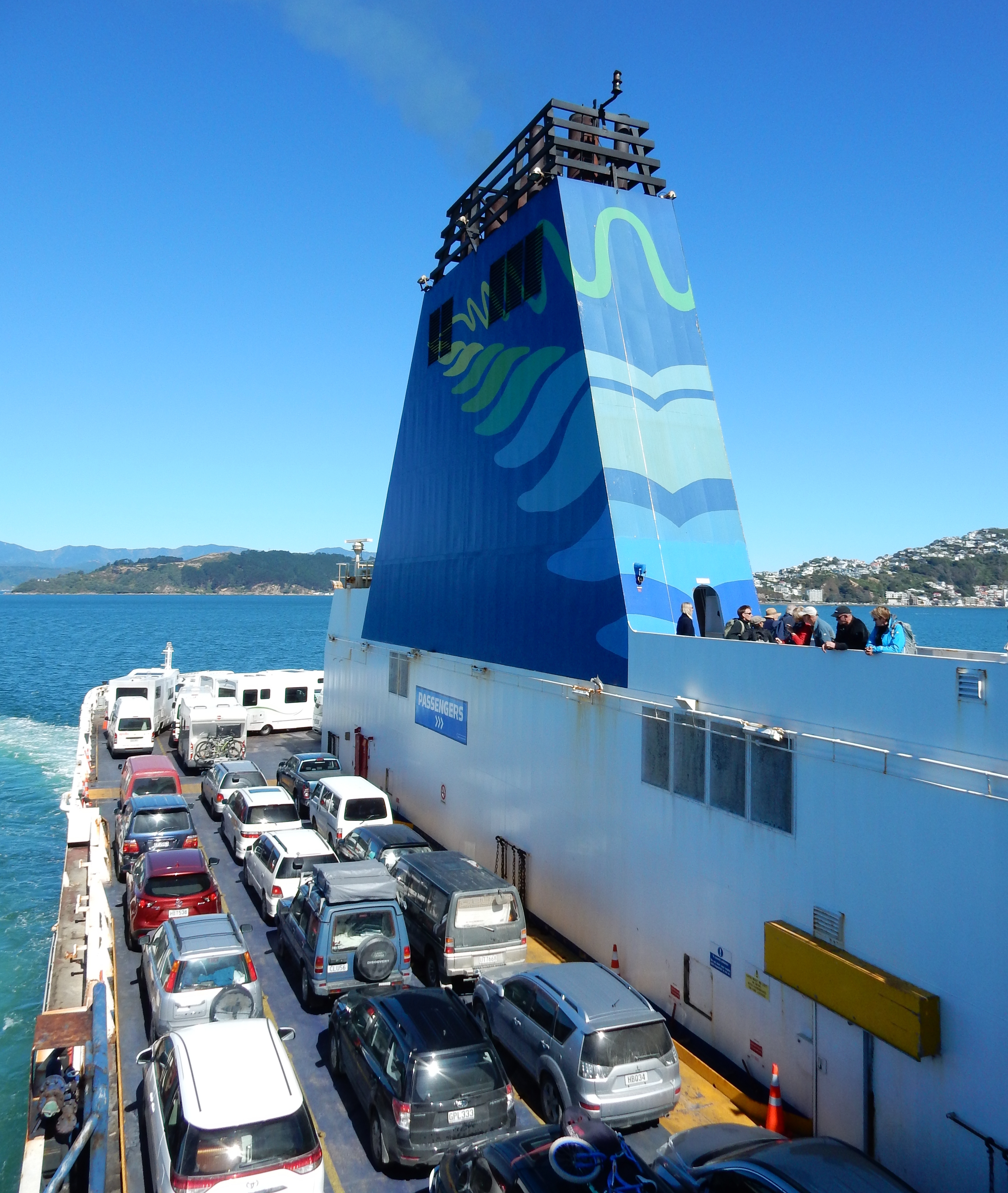
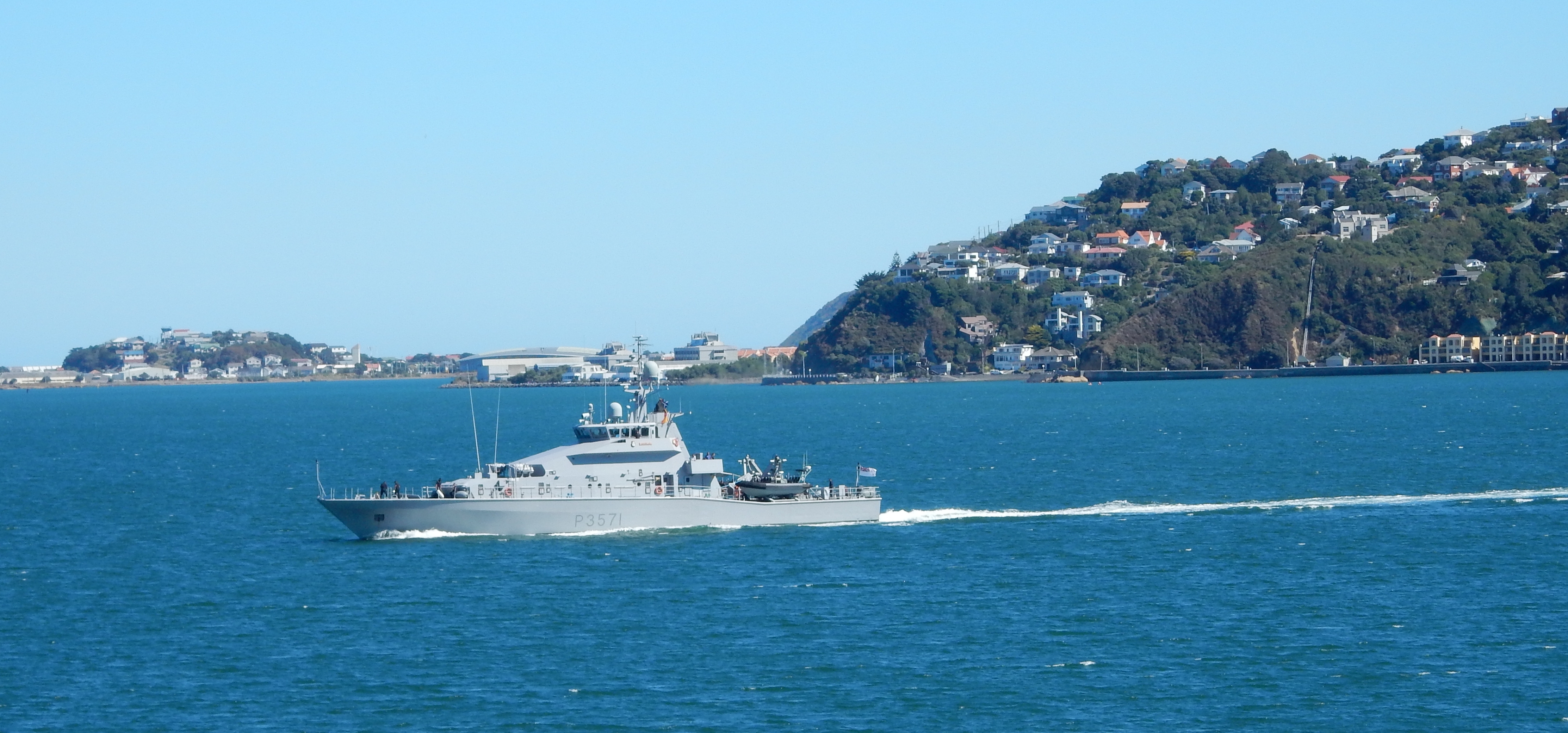
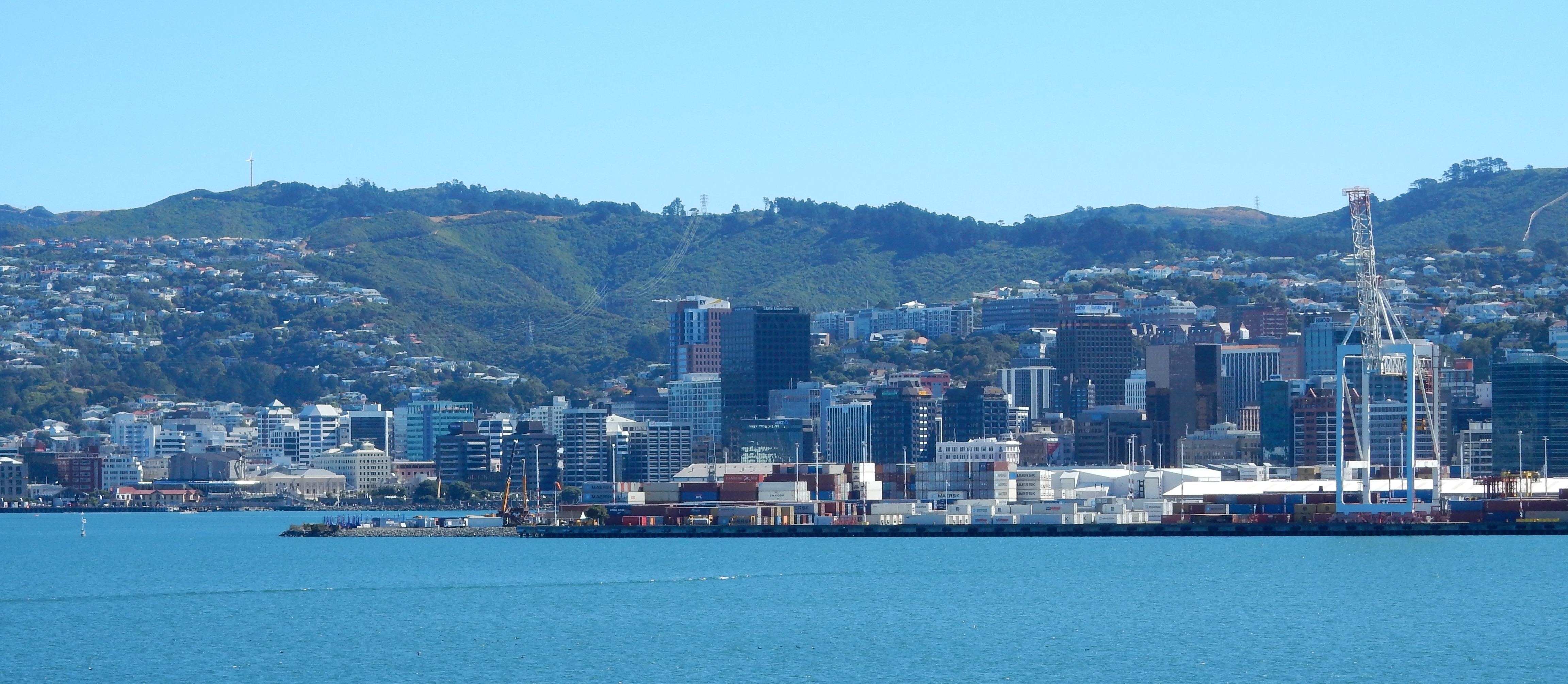
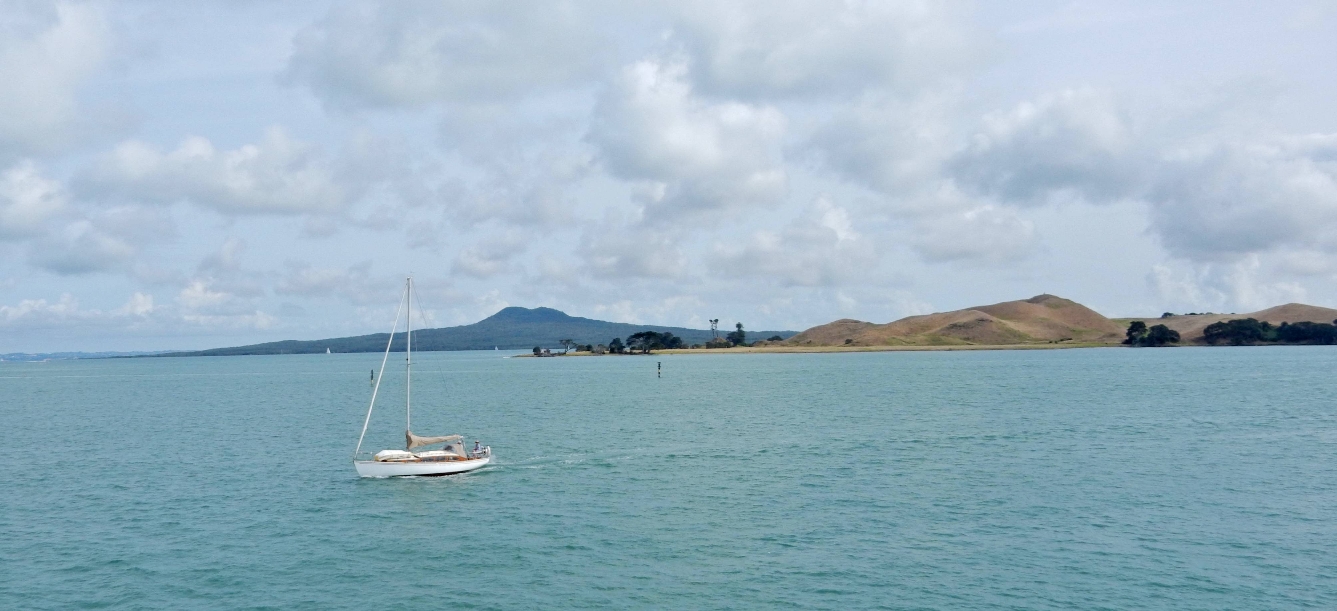
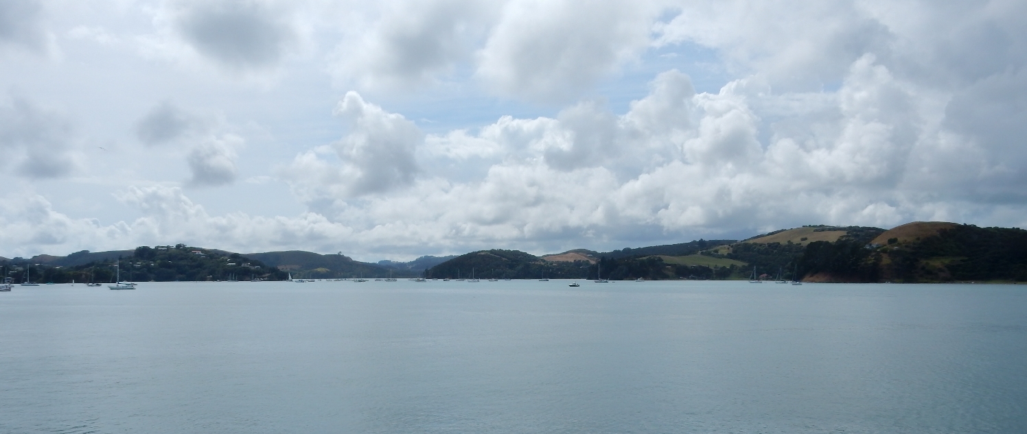
We arrived in Wellington at 12:30 and waited for our ferry to take us to the South Island.  It was an hour late coming in so we ended up leaving at 3:45 instead of 2:45. Here is our Ferry arriving late; notice the snorkeler in the foreground diving for shellfish.  Wellington is in the background.

DSCN0504

A hungry crocodile

DSCN0504.1

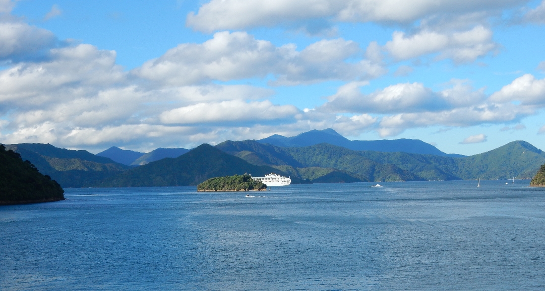
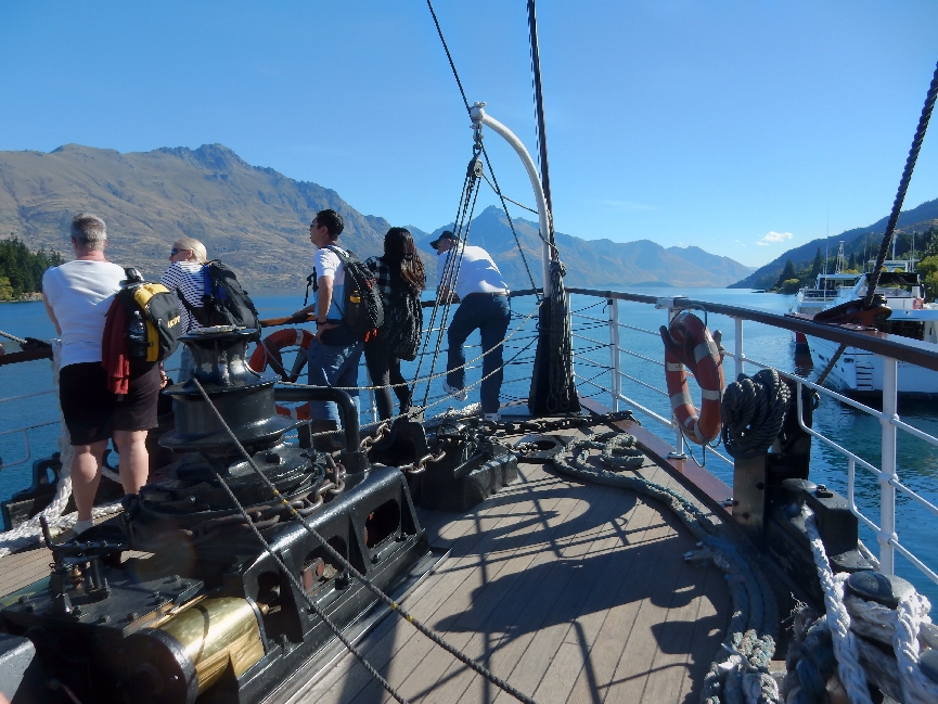
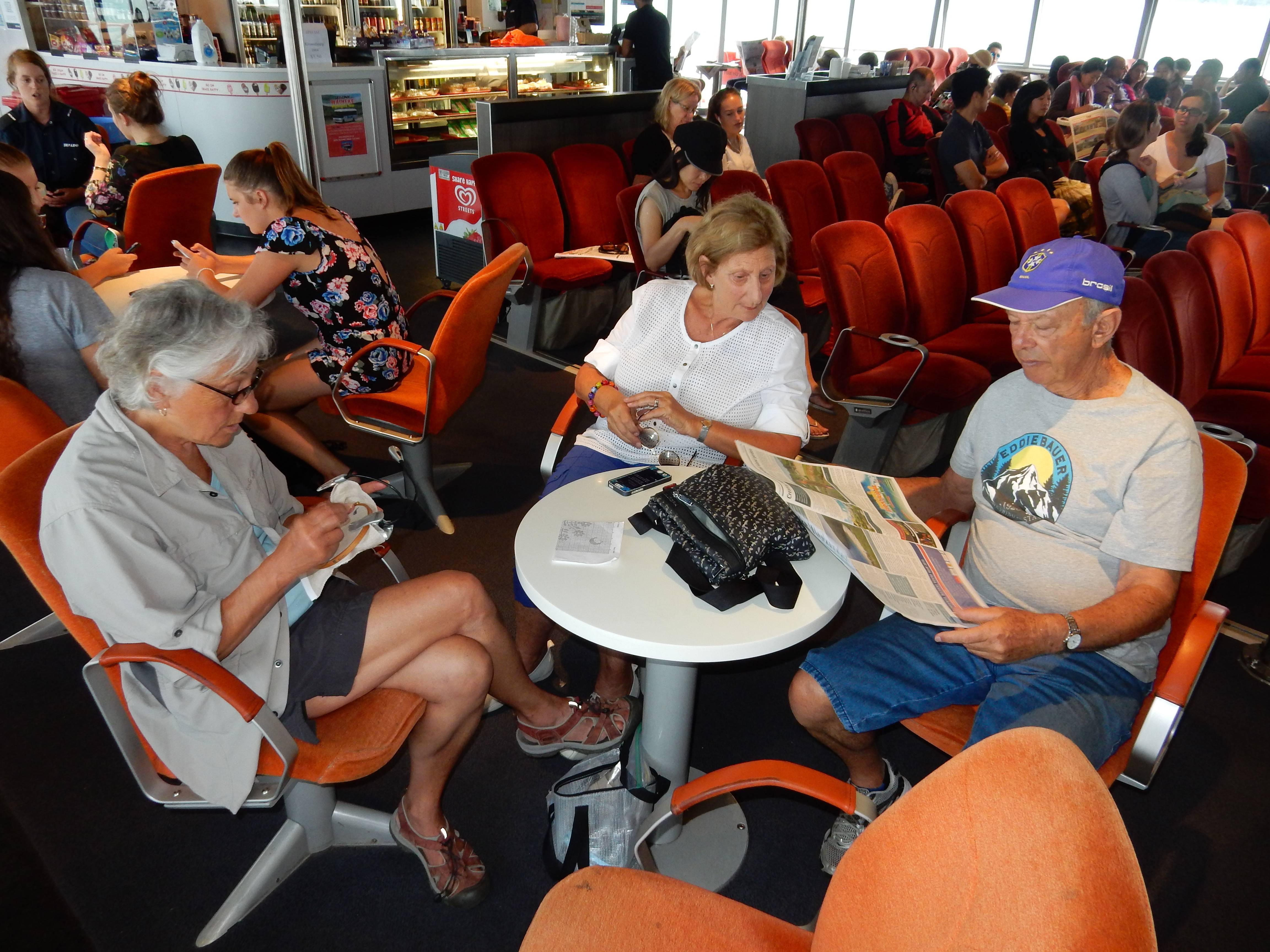
The trip across Cook Straight takes 3.5 hours.  Our Interislander Ferry was the Aratere, which can carry 670 passengers, 28 railroad cars or 30 trucks or 230 cars and it was full.   As we left Wellington another Interislander Ferry was coming in.

DSCN0509

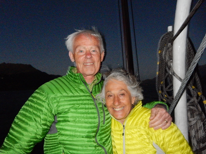
It was a relaxing ride.  We even did “tea time” with biscuit, butter, jam and coddled cream.

DSCN0515

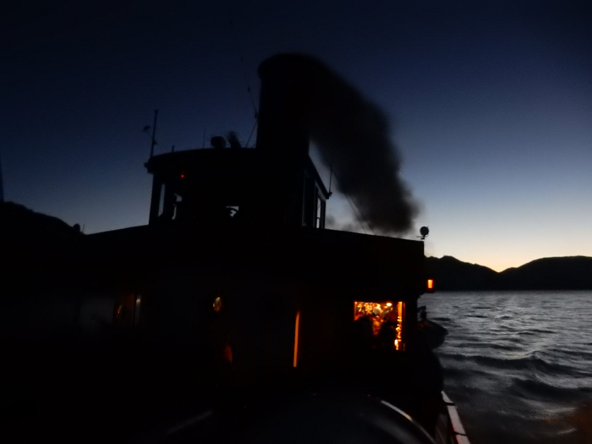
Approaching Picton on the South Island

DSCN0521

We landed in Picton at 7:15, an hour late.

DSCN0516

Much of the ride to Kaikoura was along the ocean
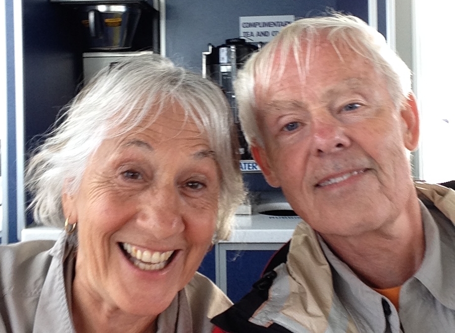
DSCN0522.2

Selfie

DSCN0522.3

The ride was tense as we rushed to get to Kaikoura before dark.  We arrived at 9:15, checked into the Alpine Pacific Holiday Park and then went into town for pizza.


2/6 – It rained (snowed in the mountains) overnight and the morning was cold and clear. This is a good picture of our tiny Daihatsu Sirion. Helen is on the passenger side.

DSCN0523

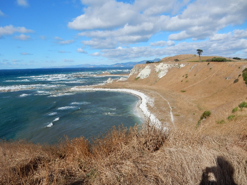
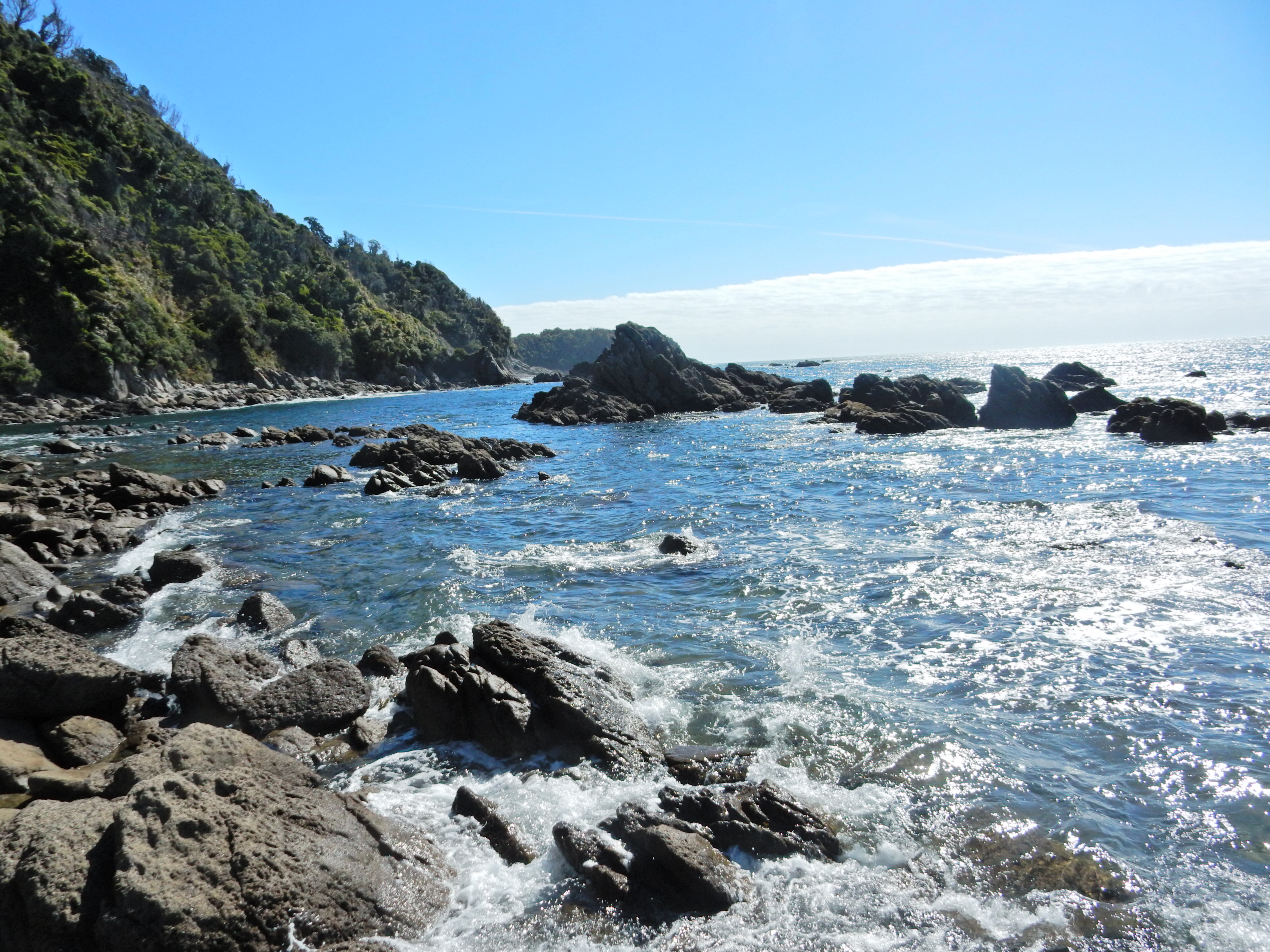
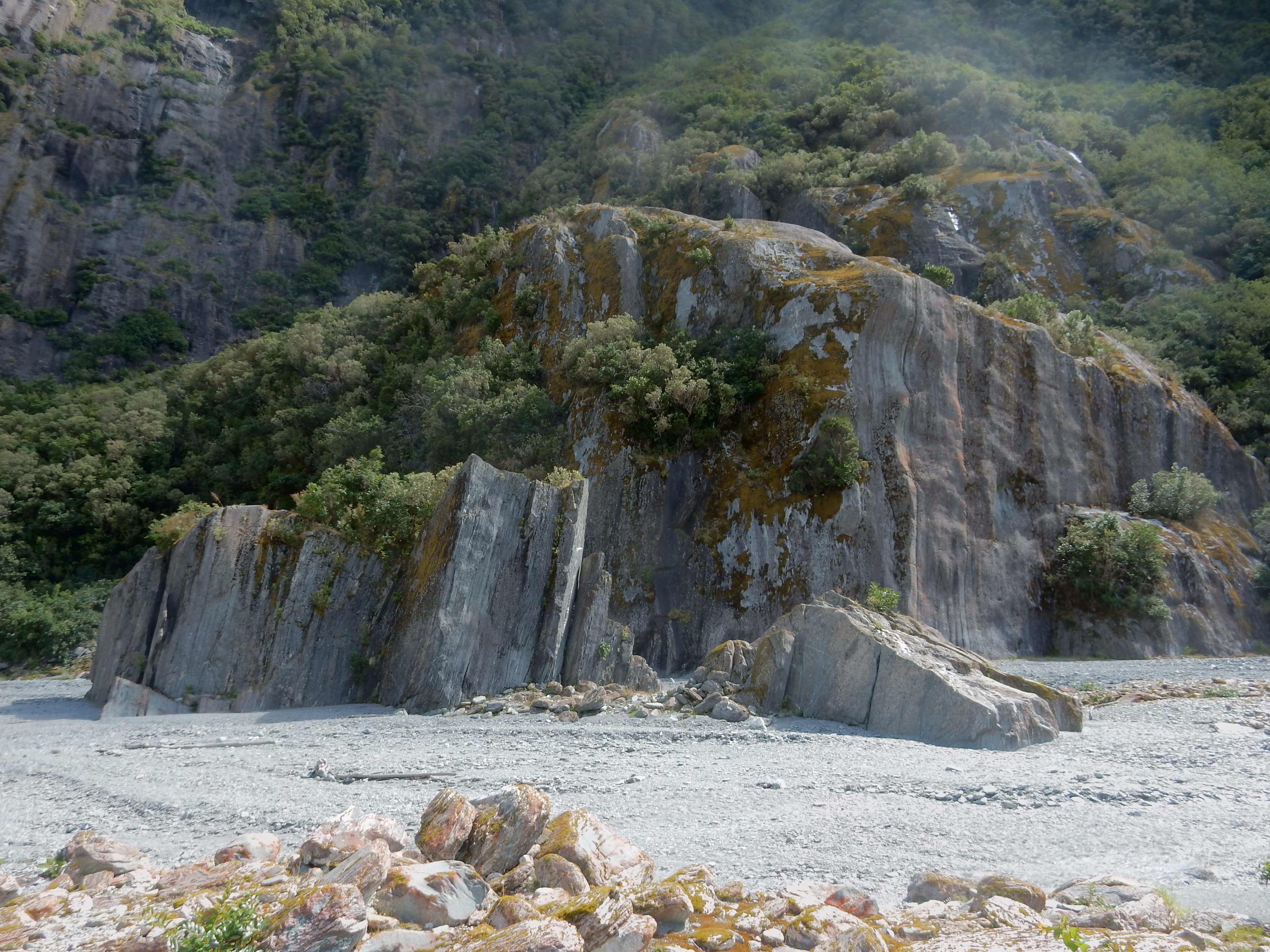
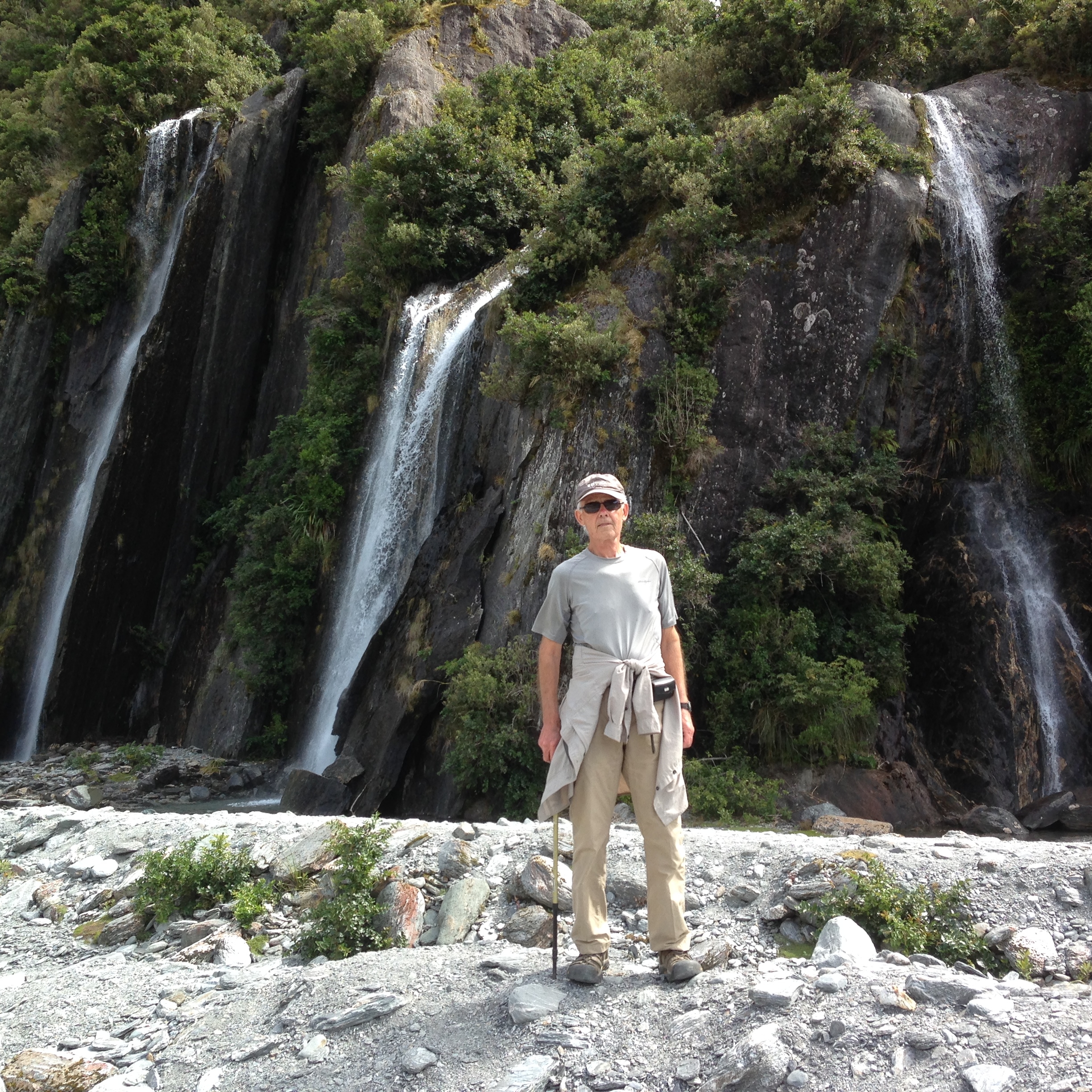
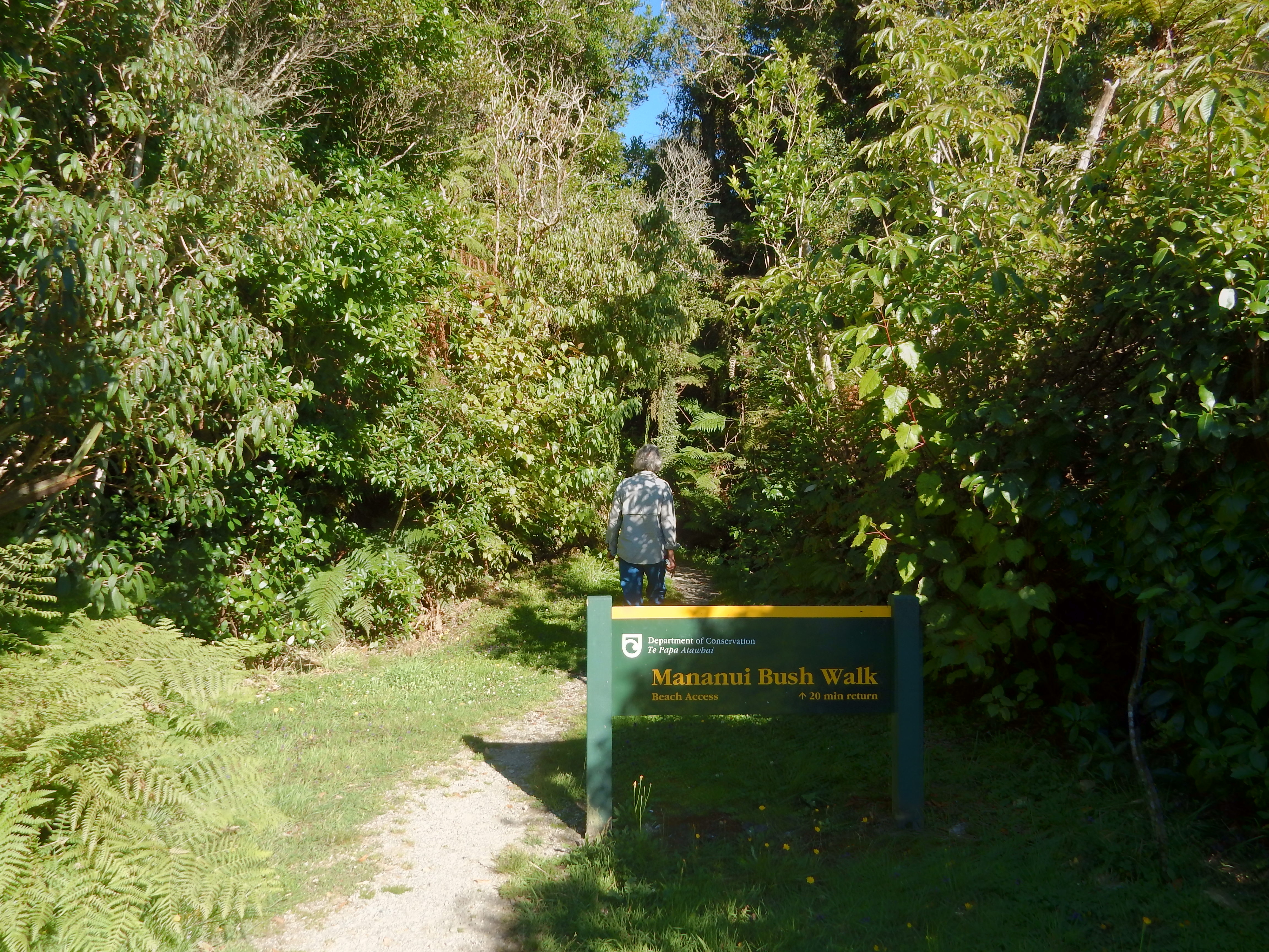
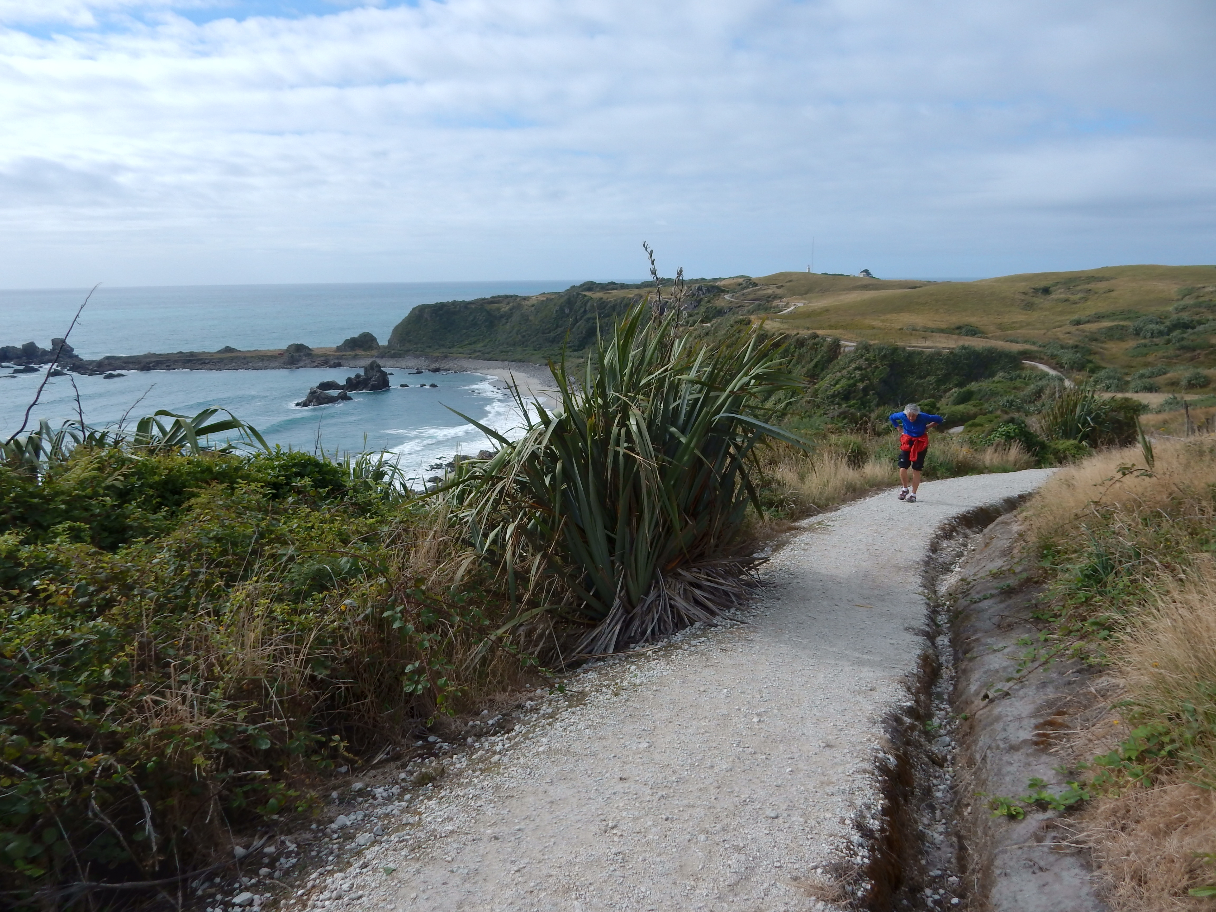
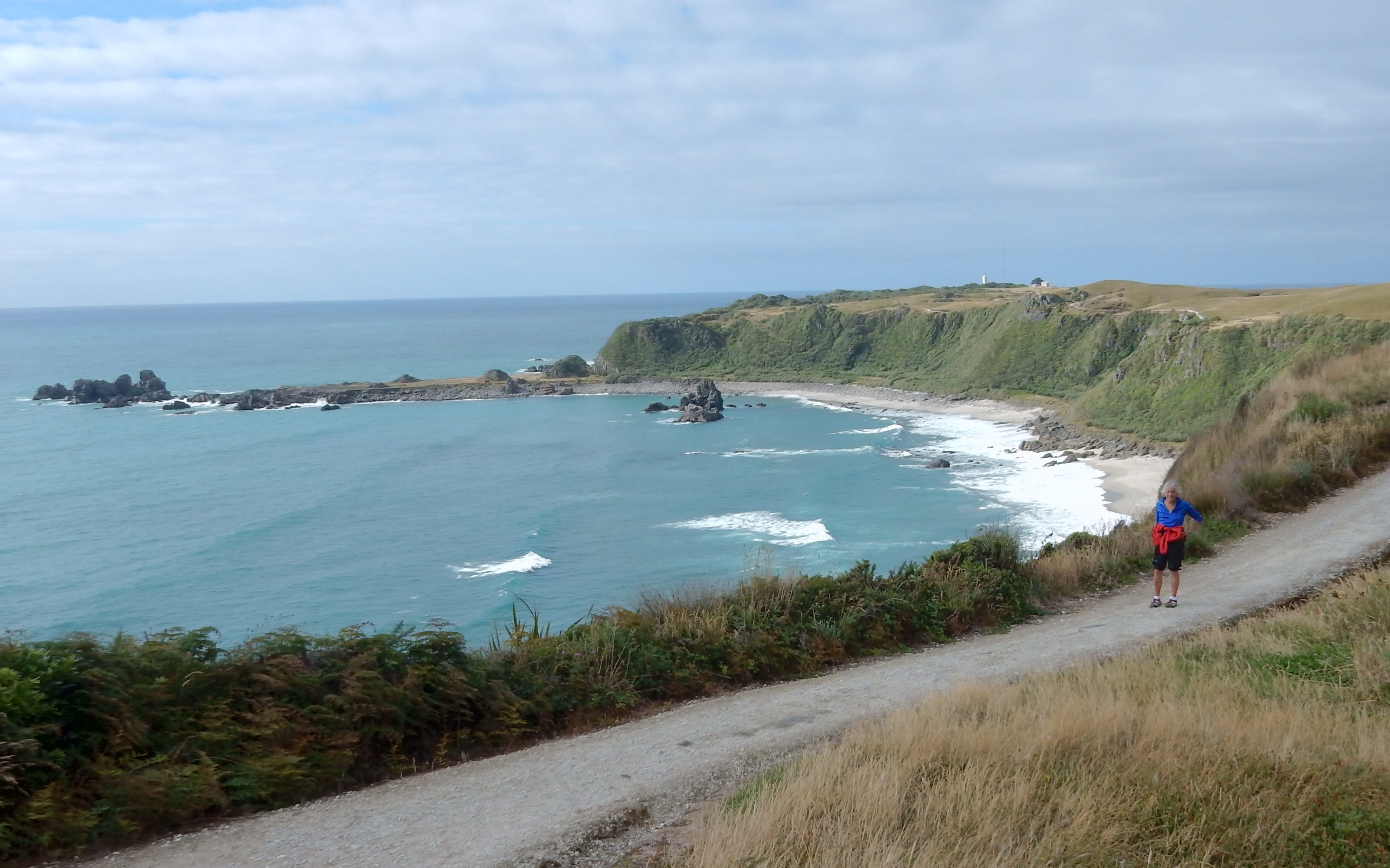
Started the day by doing the Kaikoura Peninsula Walkway

DSCN0524

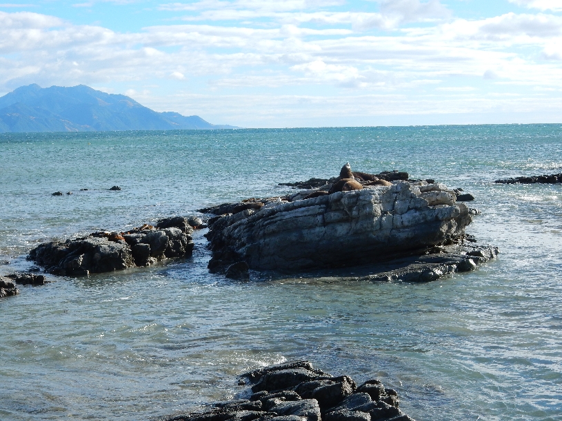
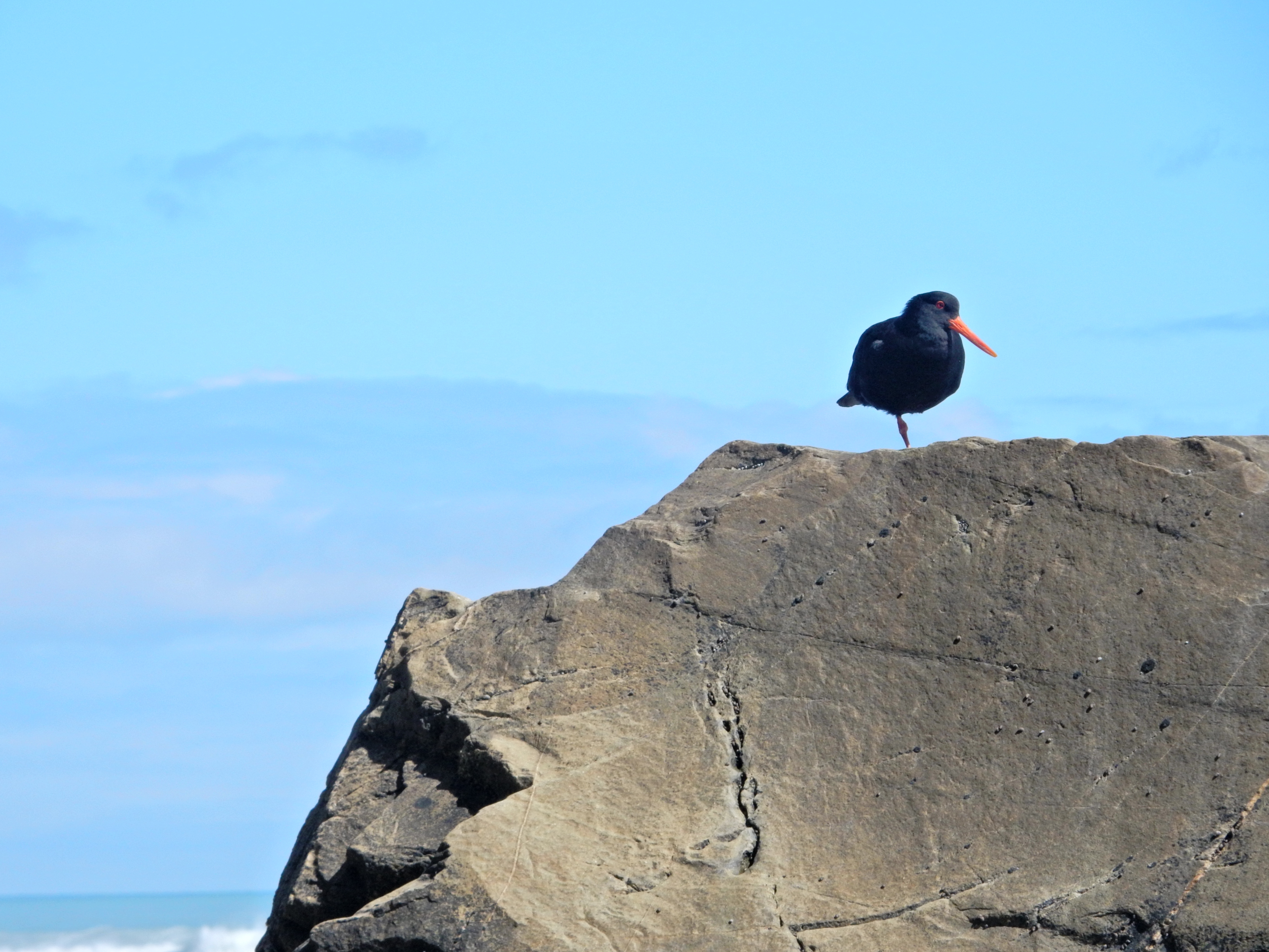
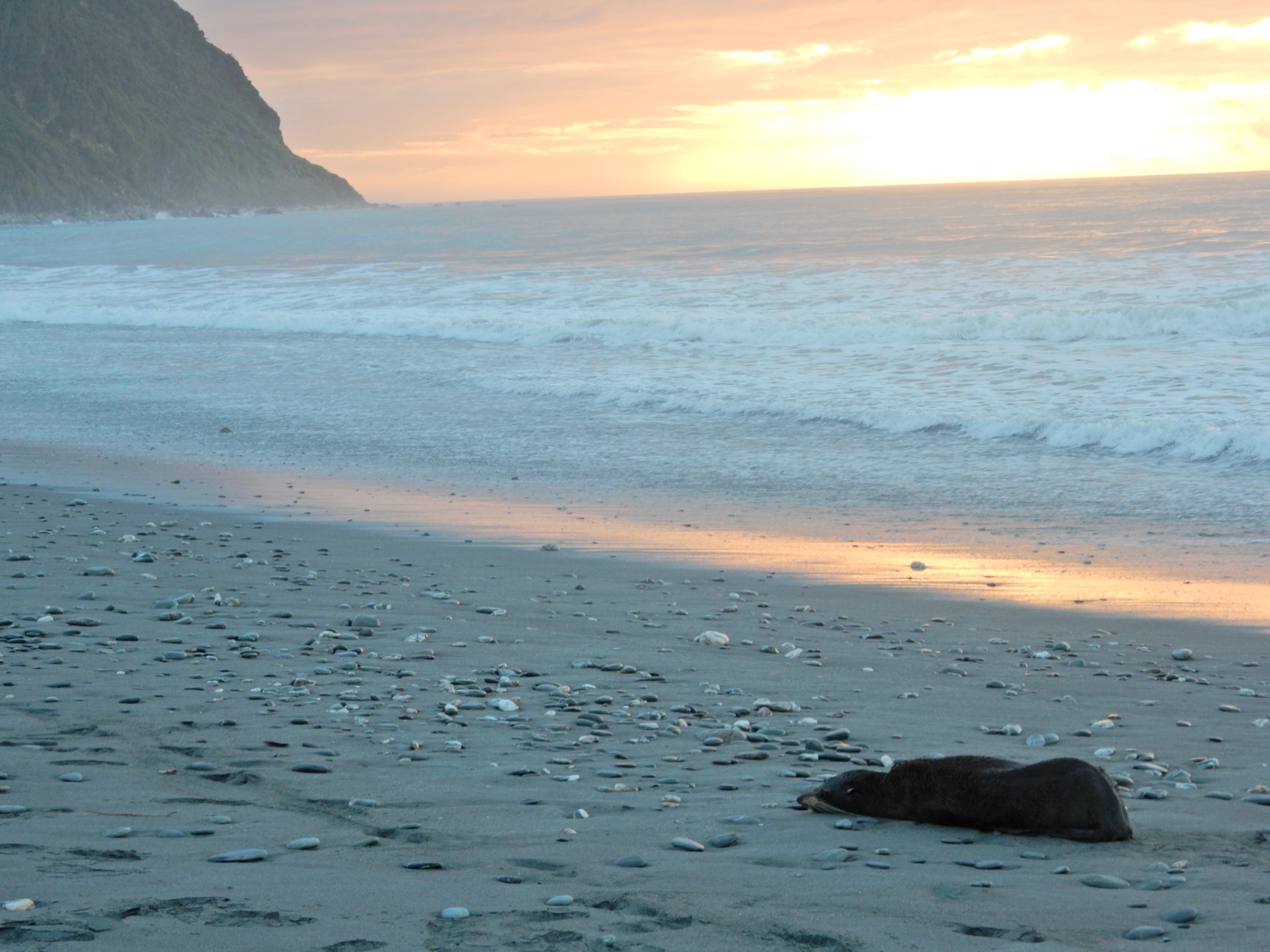
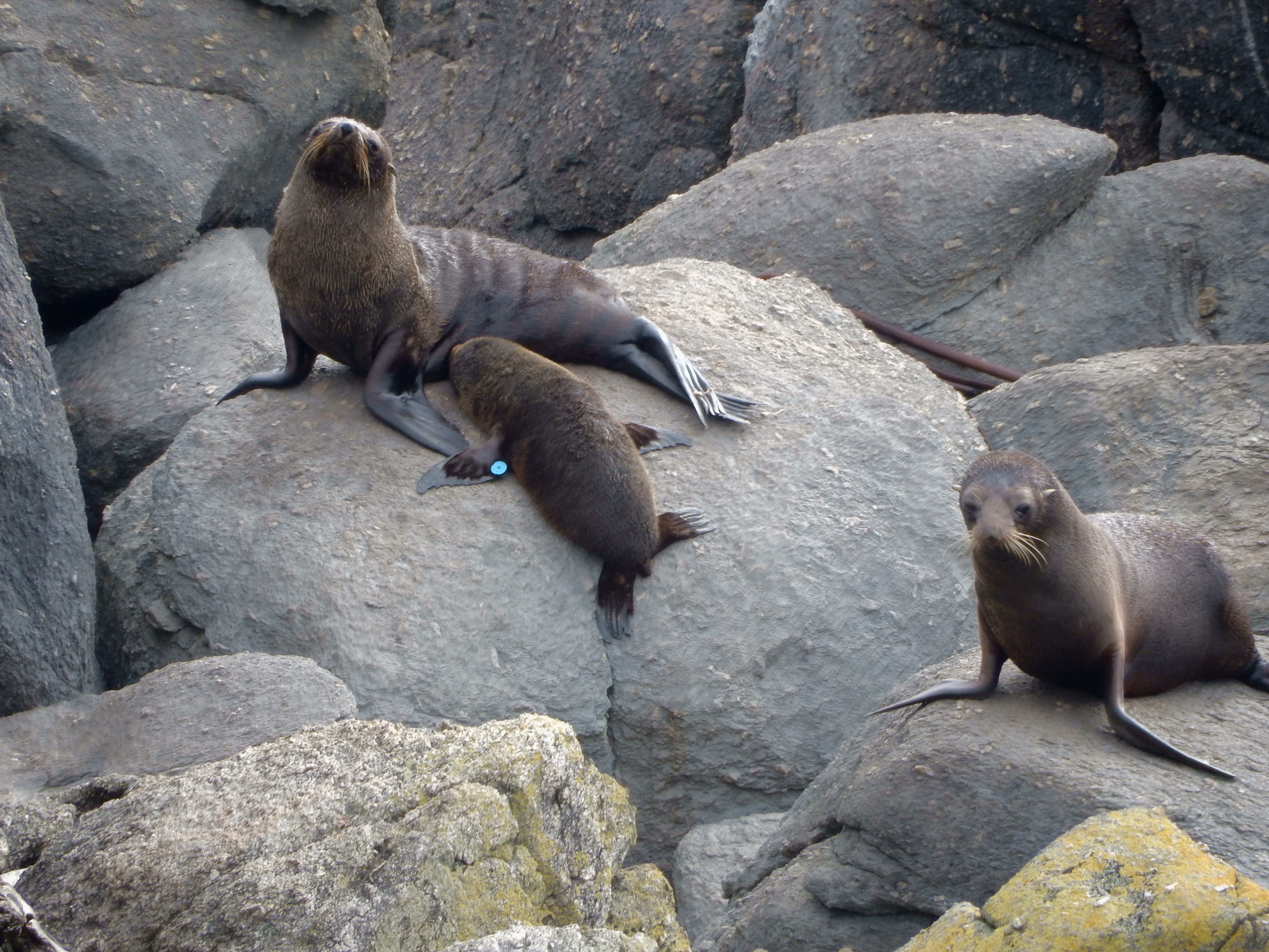
At the end of the peninsula is the Point Kean Seal Colony, which is a national Wildlife Reserve

DSCN0525


DSCN0527

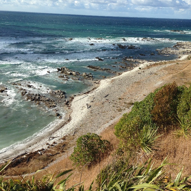
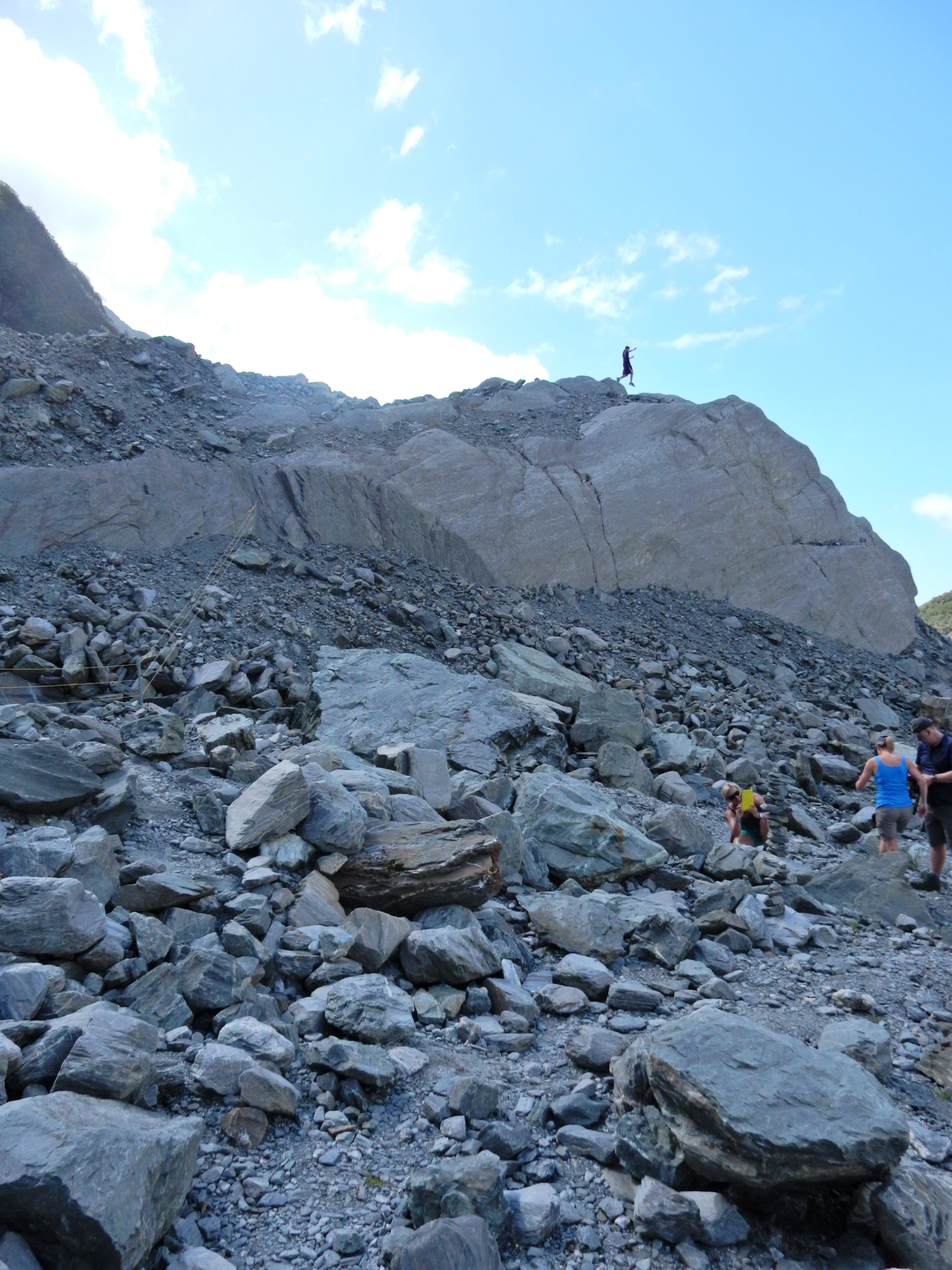
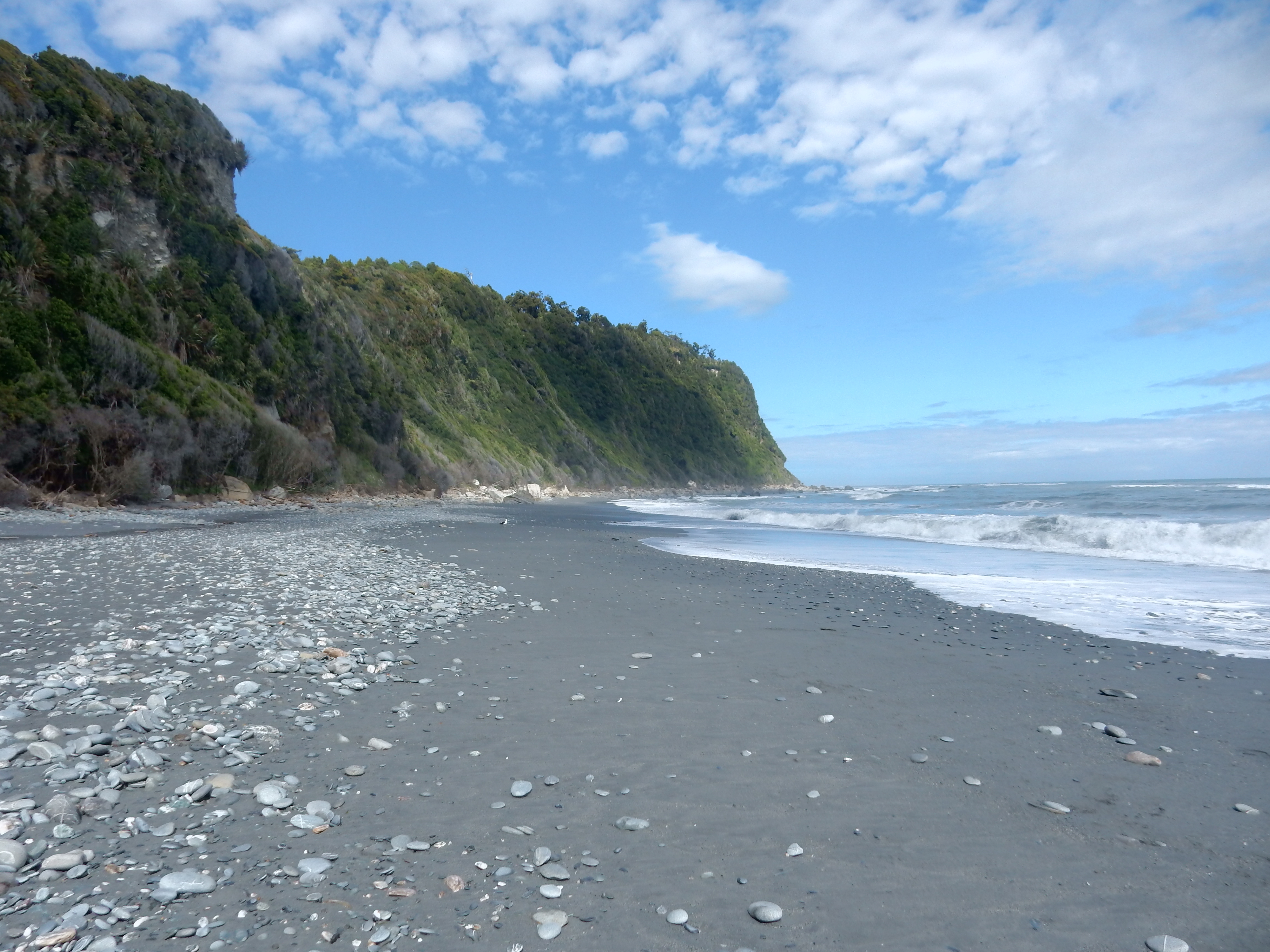
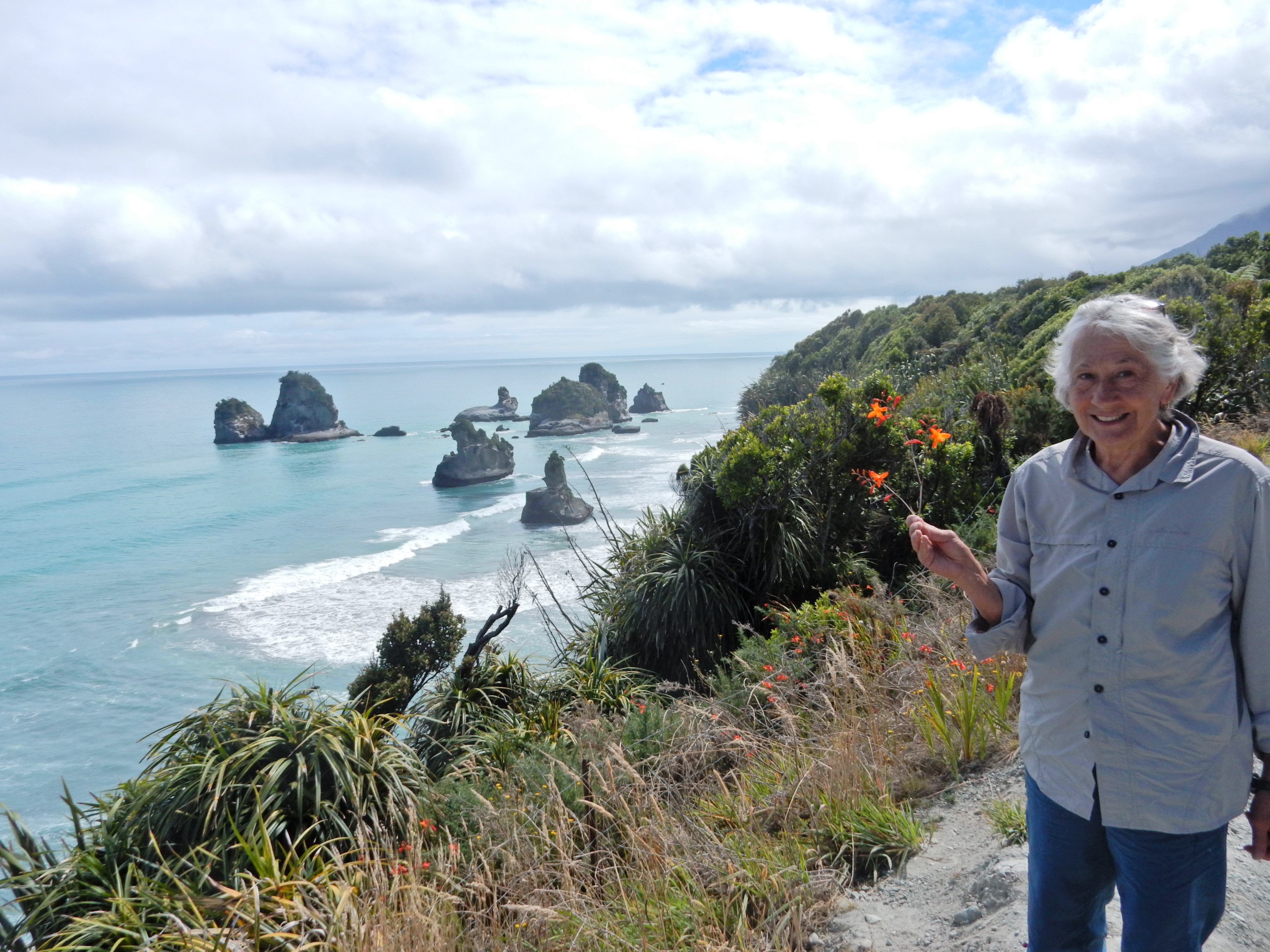
We hiked out to South Bay and back taking pics of the rugged coastline 530 and 532

DSCN0530


DSCN0532Returning to the car

DSCN0536

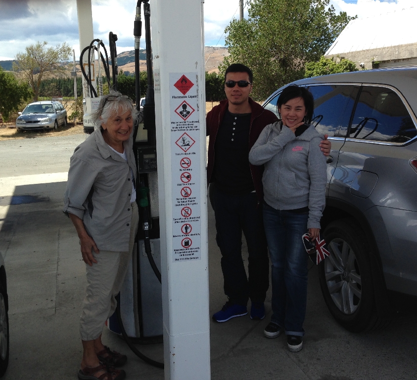
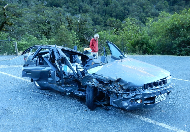
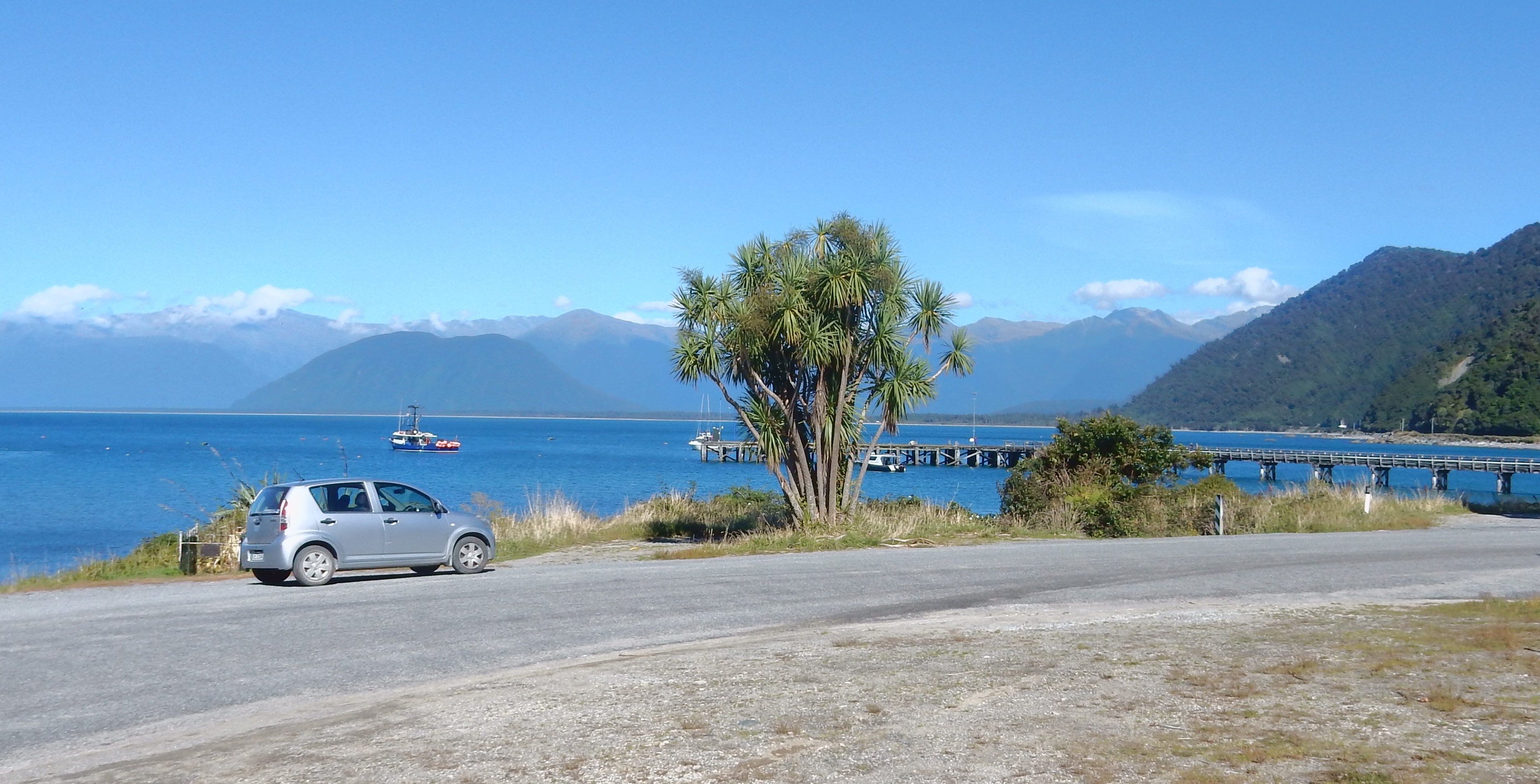
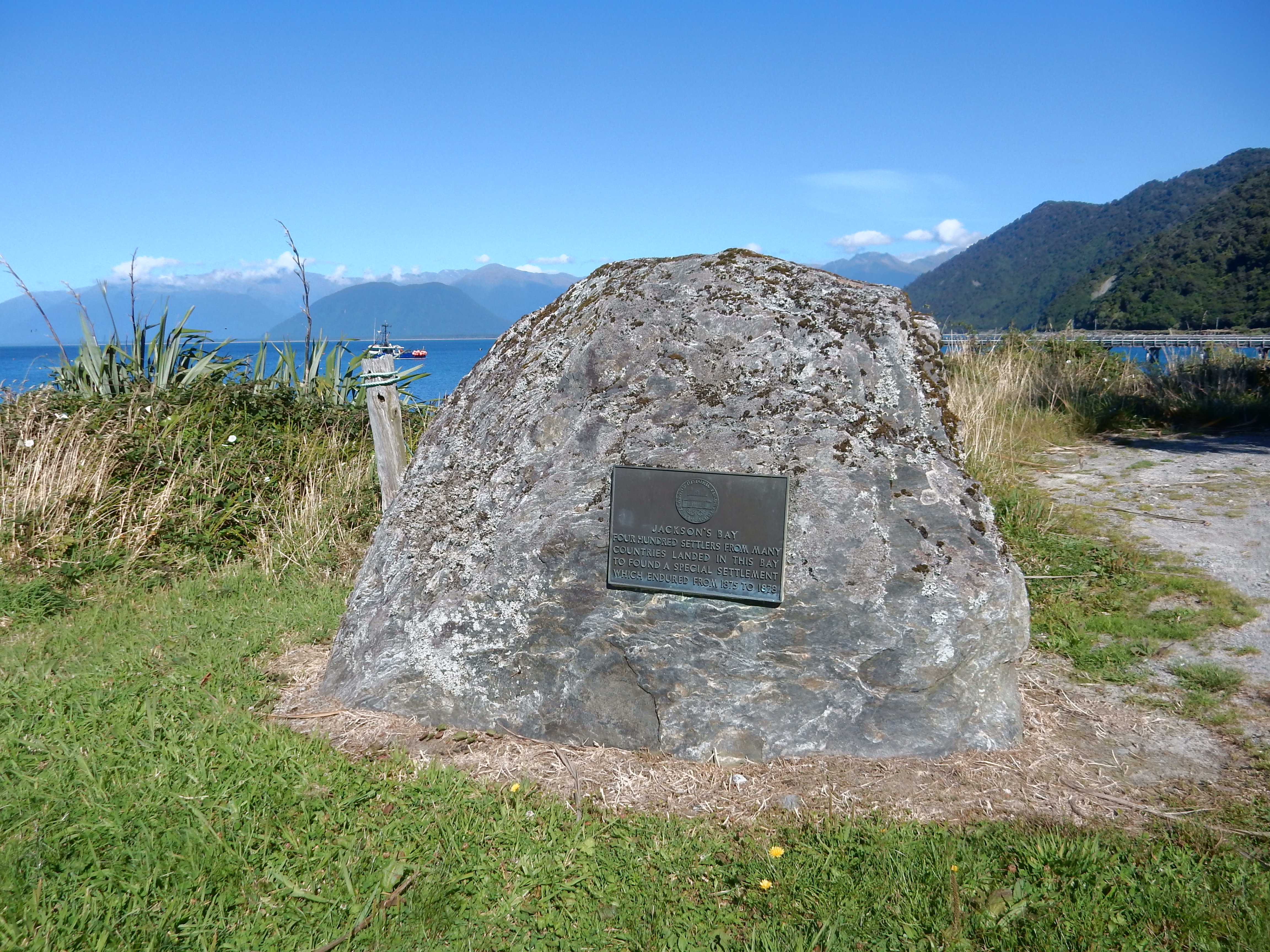
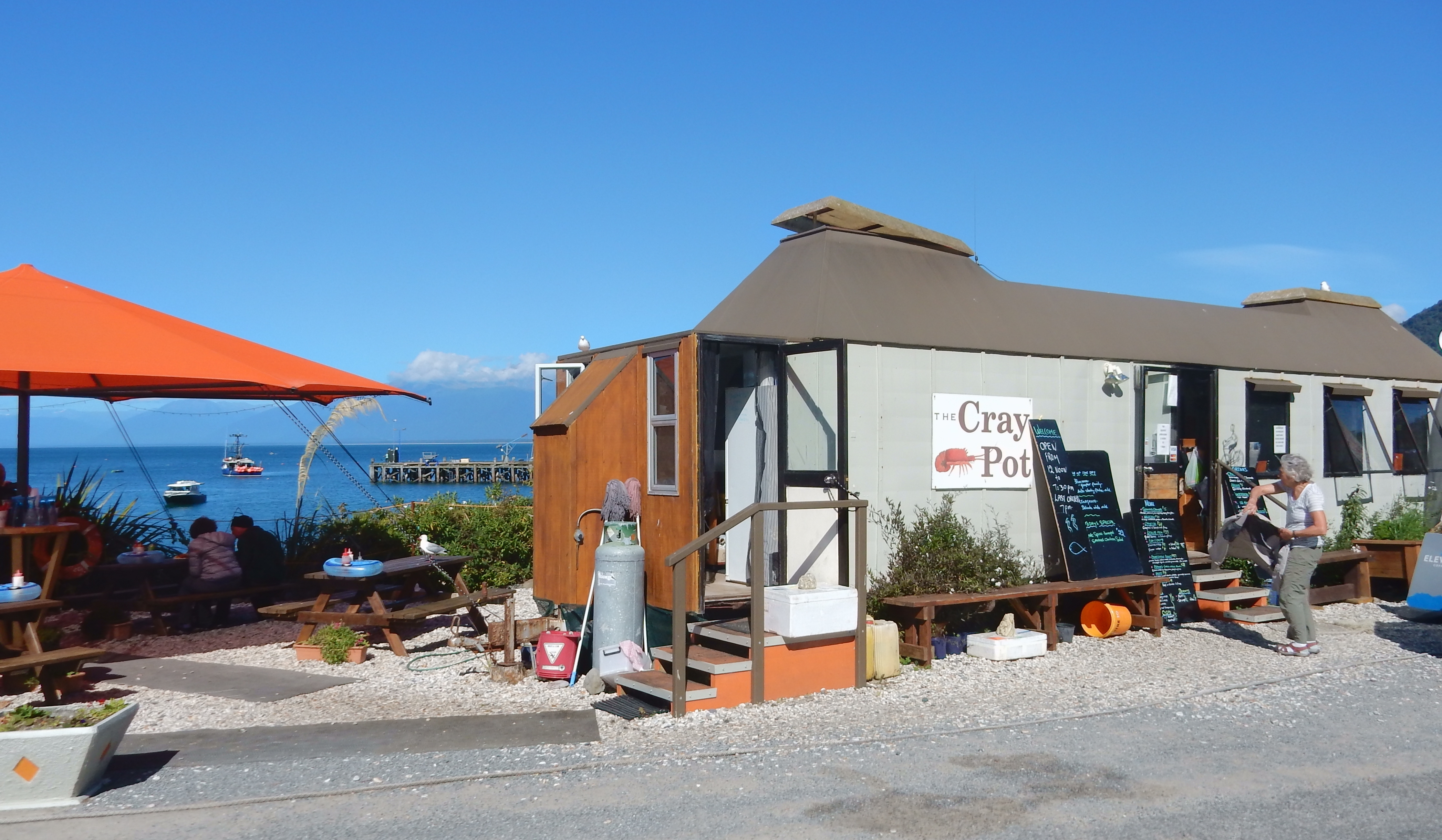
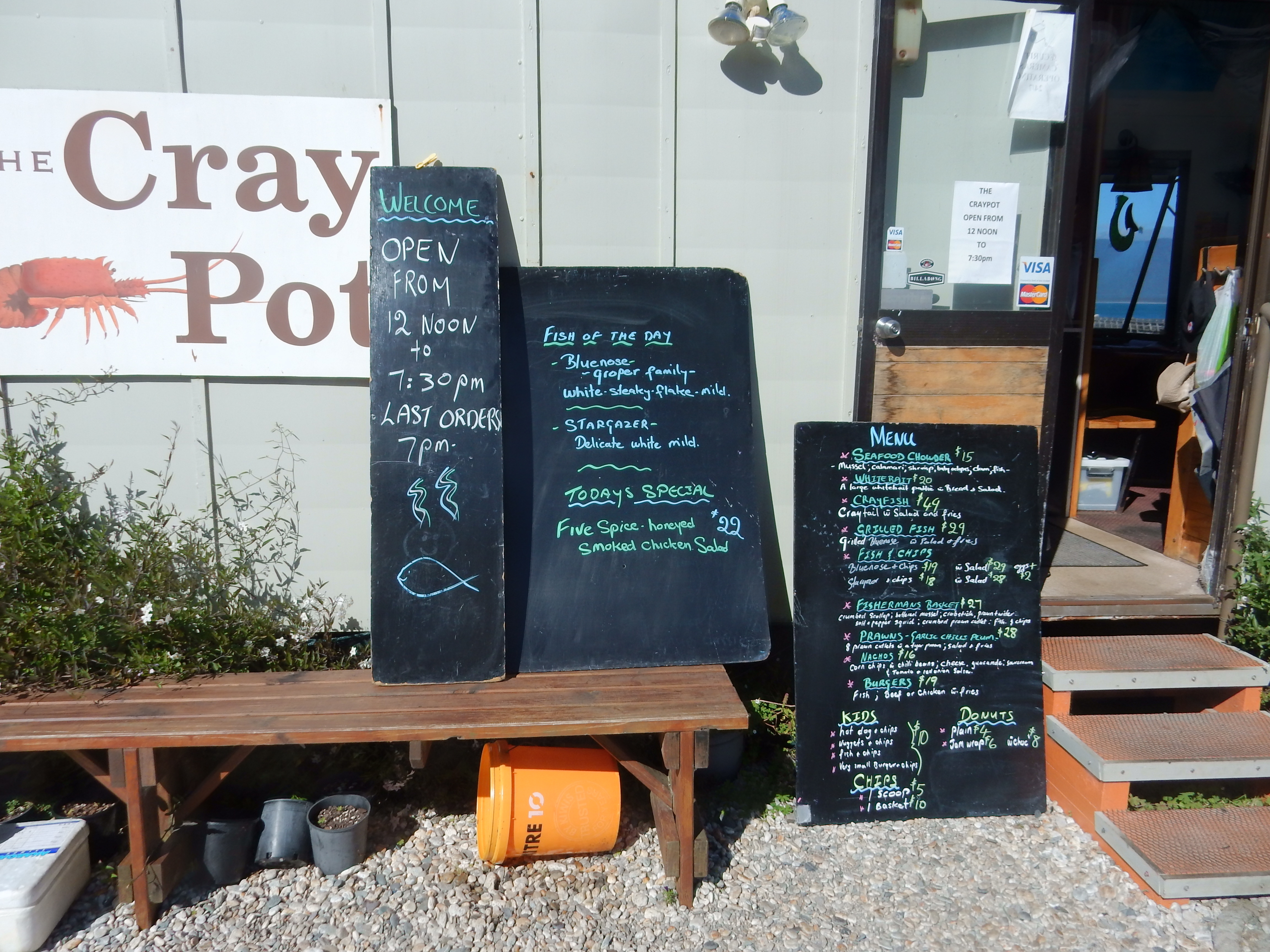
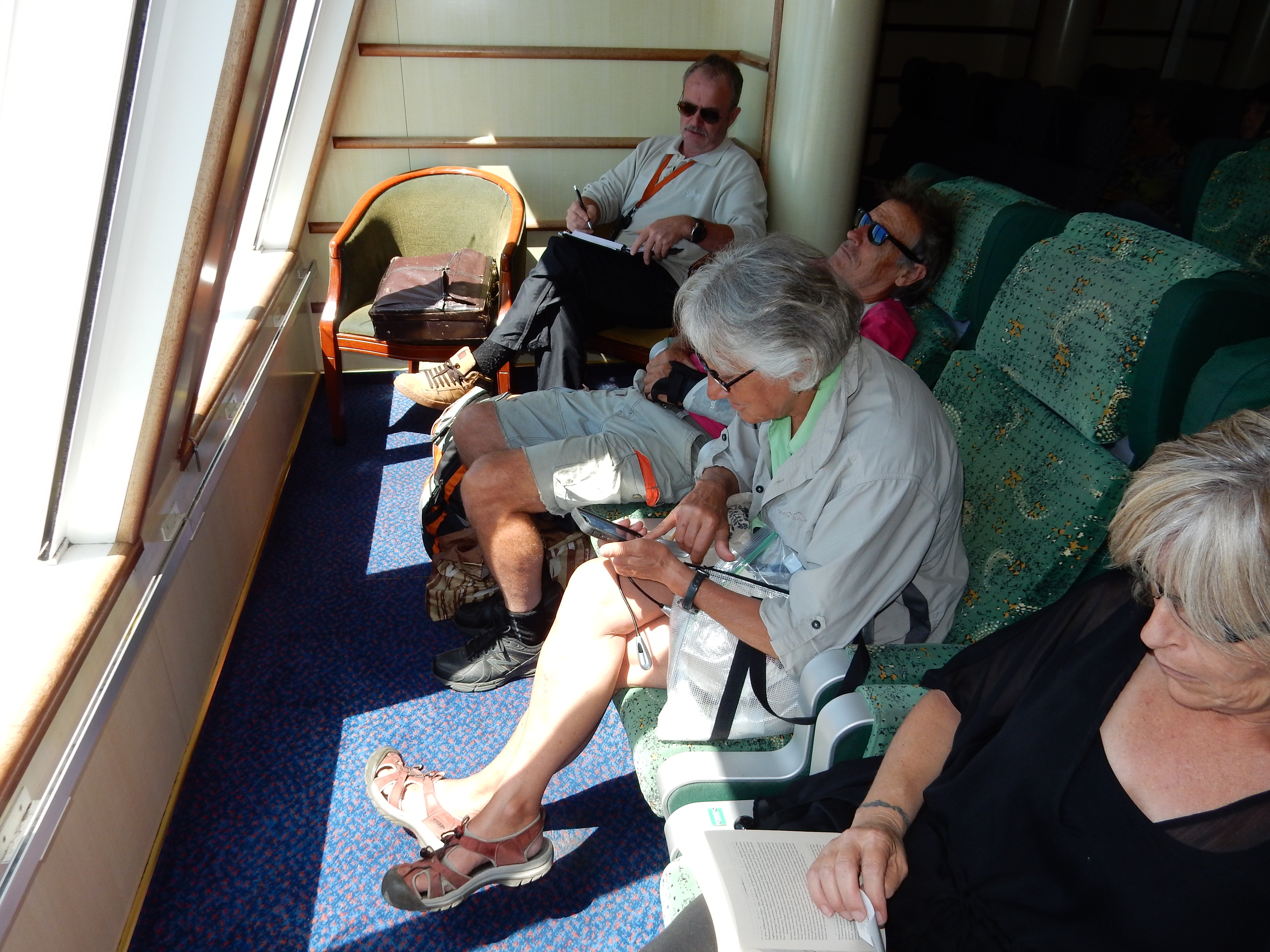
Went to the Craypot Cafe in town for breakfast because they had free Wi-Fi and we needed to get caught up on our messages.  Alas, they cut us off after a half-hour. The drive toward Christchurch was very tense because I was running out of gas and there were no gas stations.  I will let Helen describe that ordeal. In a nutshell, we were almost out of gas and I stopped at a self-serve station – no people, you can only use your credit card with pin number. Well, I never use a pin number with my credit card and didn’t know it. In the end, I showed a Chinese couple who pulled in how to use the pump and they let me piggy back on their fill-up. So, I paid them cash and we were all on our way!

DSCN0537

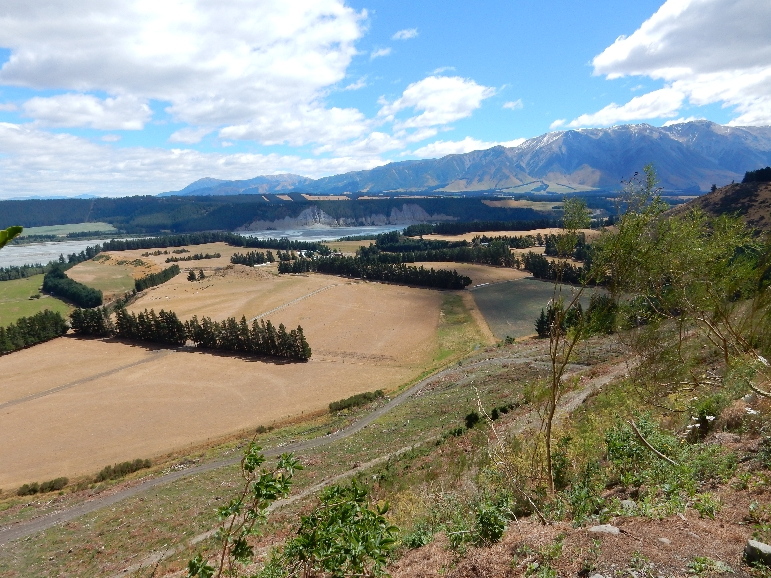
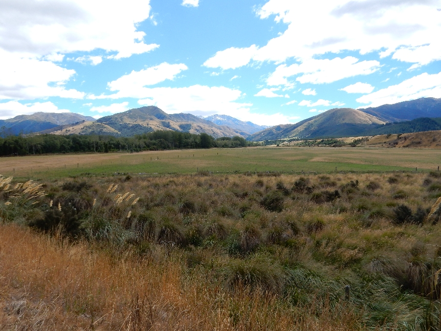
We took the Rt 72 bypass around Christchurch. Here are some pictures along Rt 8 as we drove to Lake Tekapo.

DSCN0539


DSCN0541


DSCN0542


DSCN0543

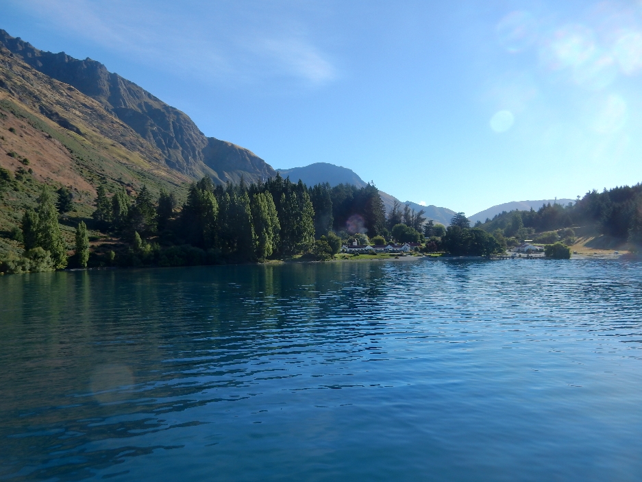
Beautiful aquamarine color of Lake Tekapo

DSCN0553

Drove to the top of Mt John, which is on the southern end of the lake

DSCN0546.4


DSCN0546

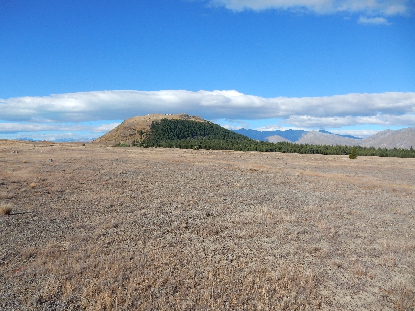
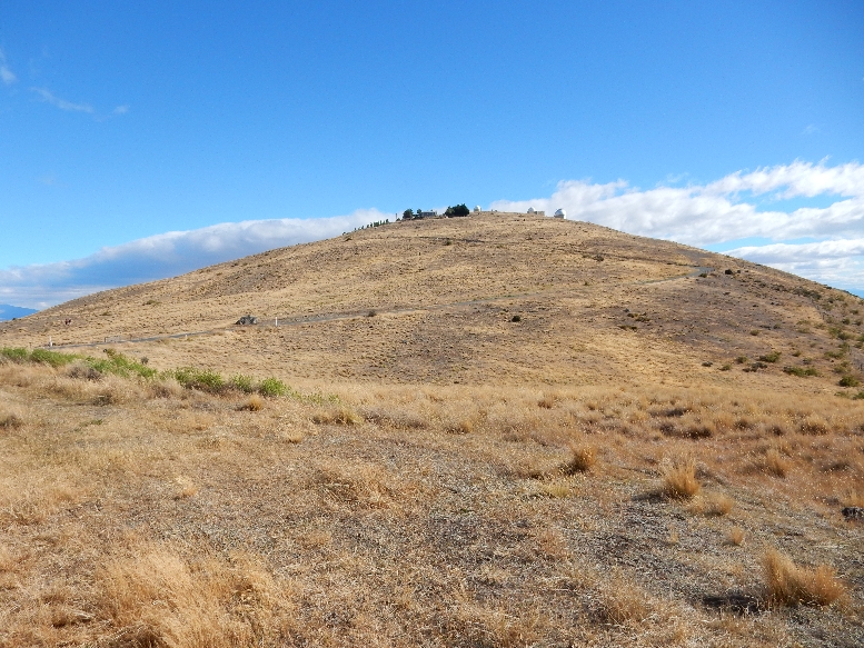
There are three observatories run by the University of Canterbury and a small restaurant on top

DSCN0547

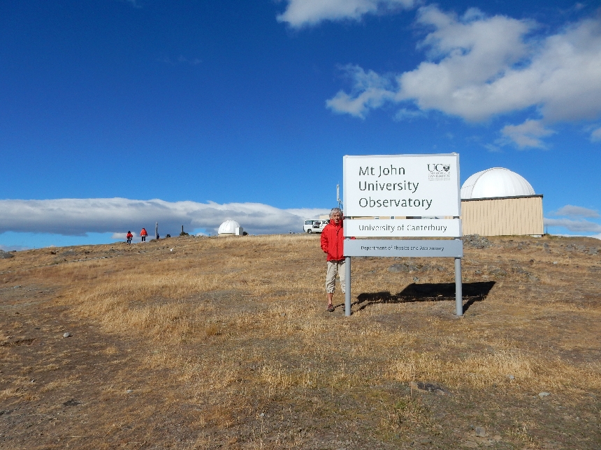
In 2012 this area was declared an International Dark Sky Reserve, one of only five in the world

DSCN0549


DSCN0551

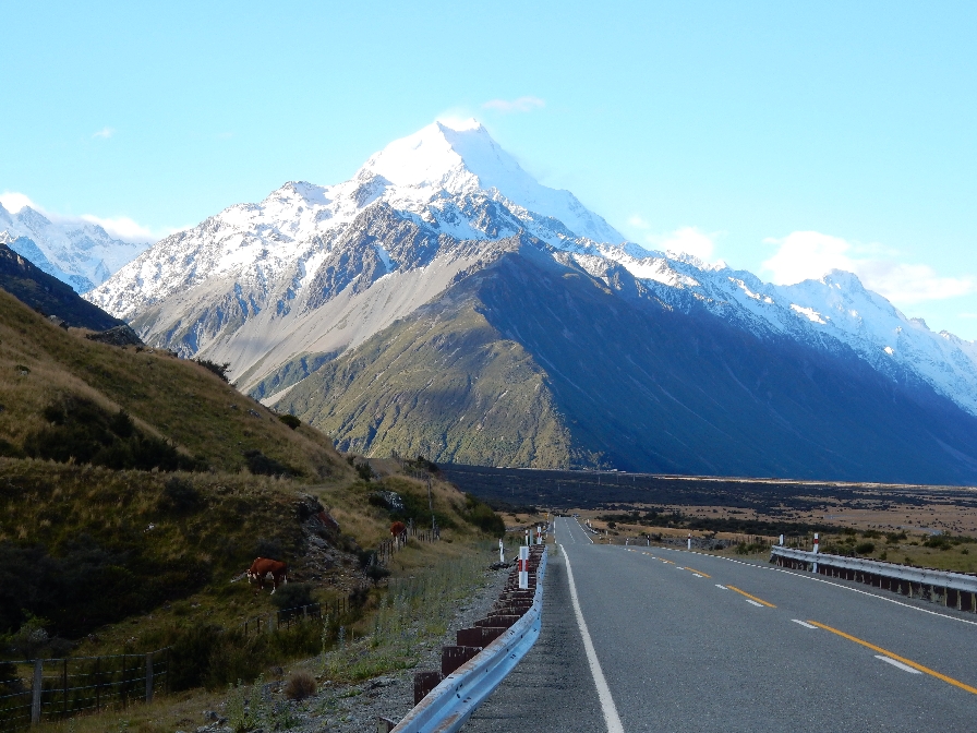
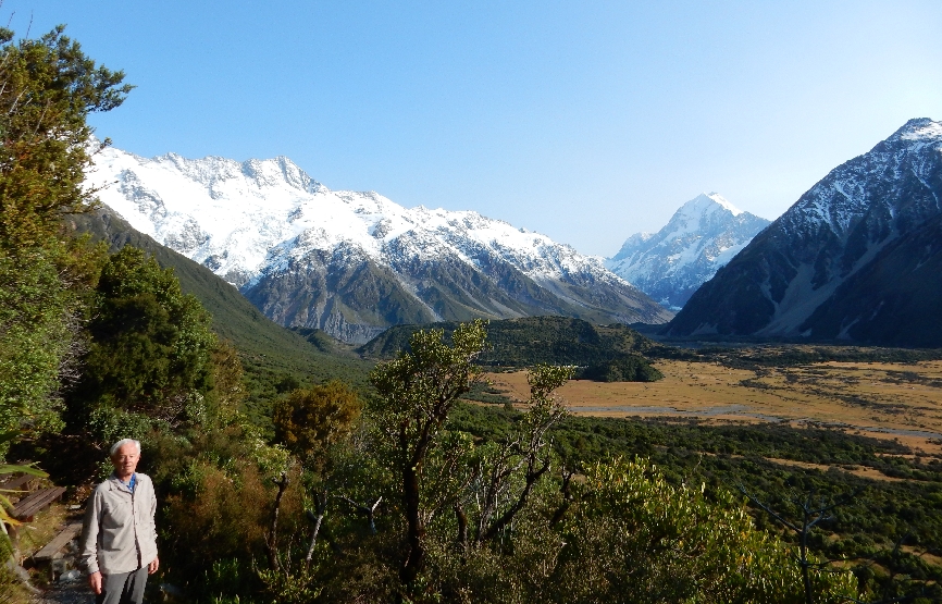
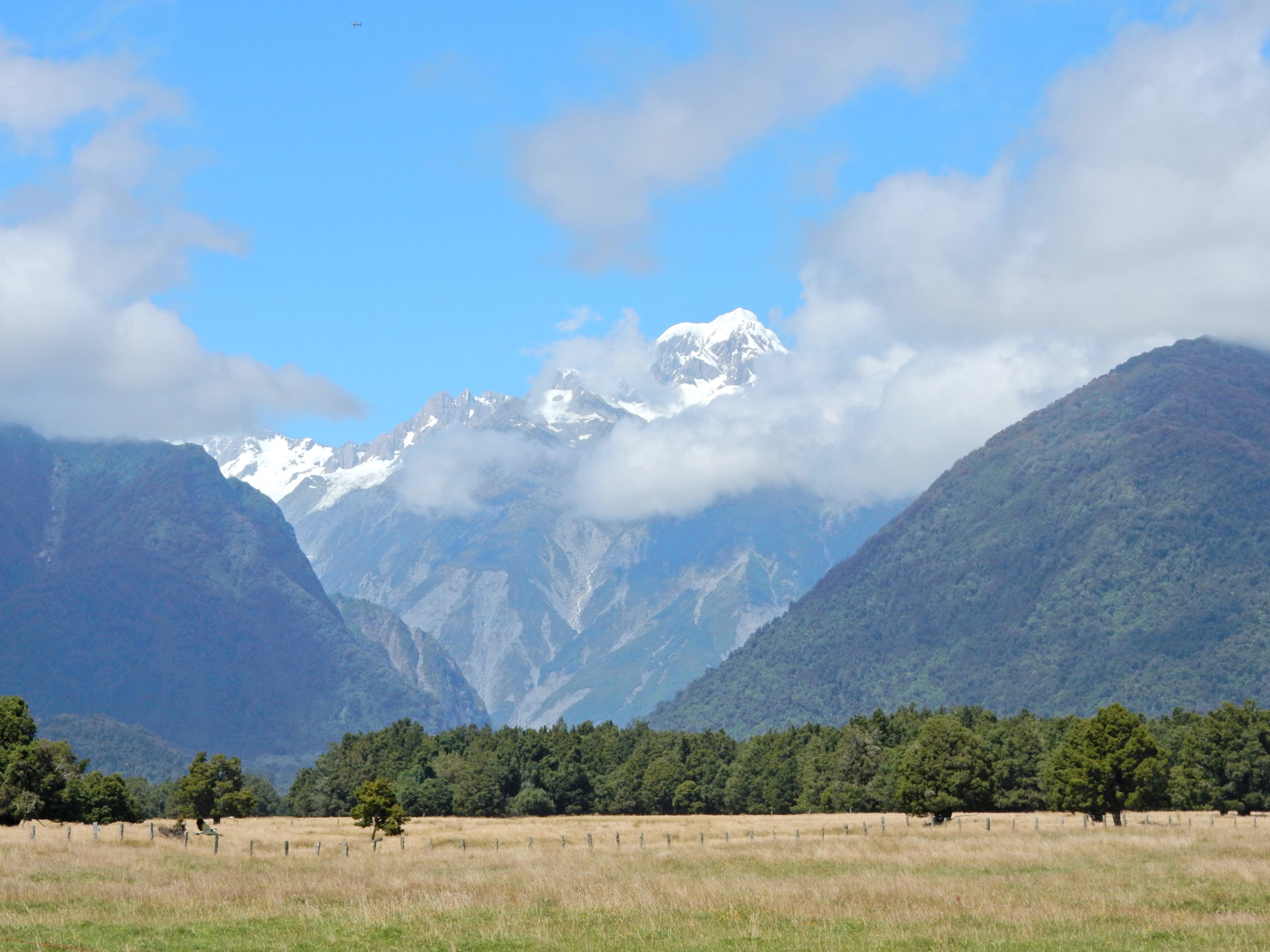
Entering Aoraki/Mt Cook National Park, Aoraki is the Maori name for Mt Cook

DSCN0555.1

Approaching Mt Cook

DSCN555.2


DSCN0556

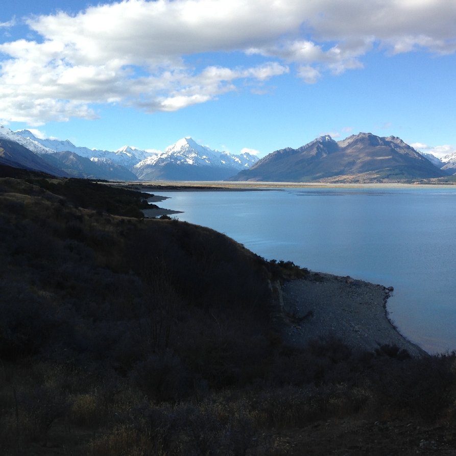
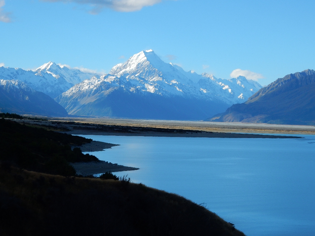
Mt Cook is the highpoint of New Zealand – 3724m or 12,215 ft

DSCN0558

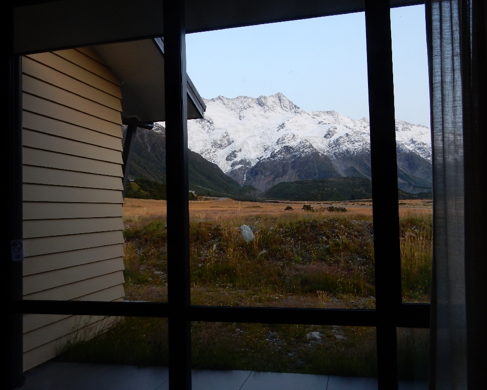
Checked into the Aoraki Court Motel at 7:30pm. We had a large modern/comfortable room with a fantastic view of the mountains

DSCN0574

Didn’t want to spend $60 each for dinner at the Hermitage Hotel.  So, we bought soup and crackers to prepare in our room for dinner, Special K for our morning meal and Chicken Pot Pies for lunch the next day.


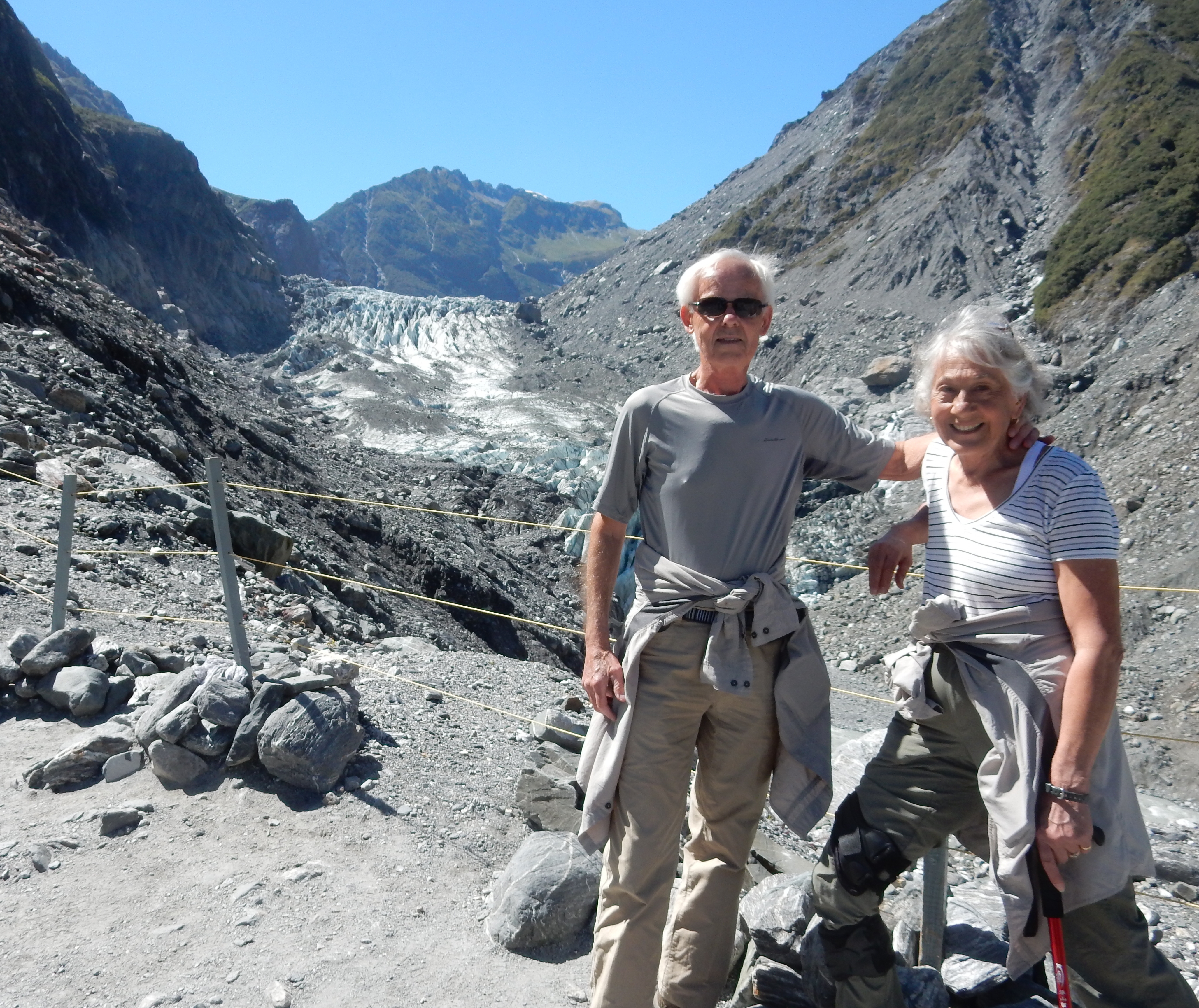
2/7 – We awoke to a beautiful mountain view outside our window.  This was, by far, our best weather day thus far on our trip.

DSCN0575

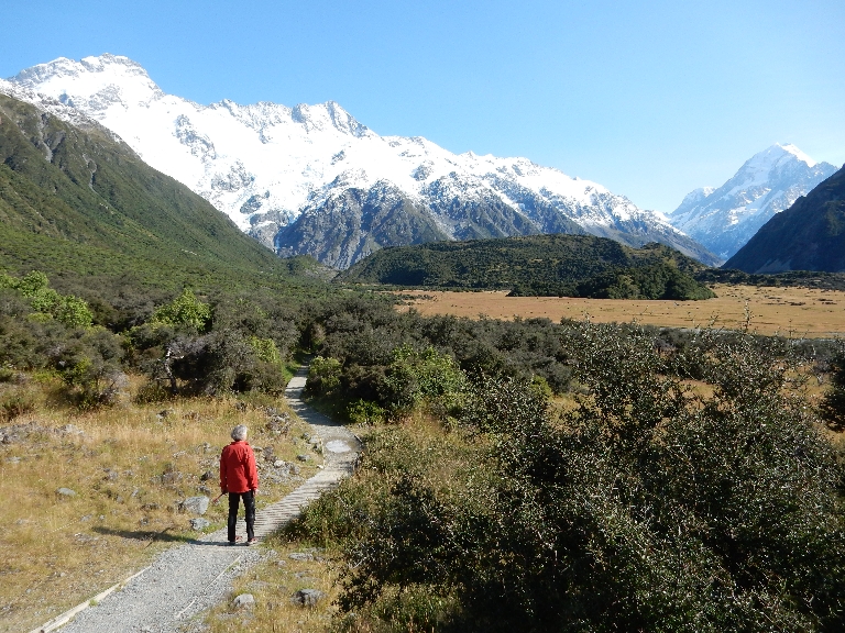
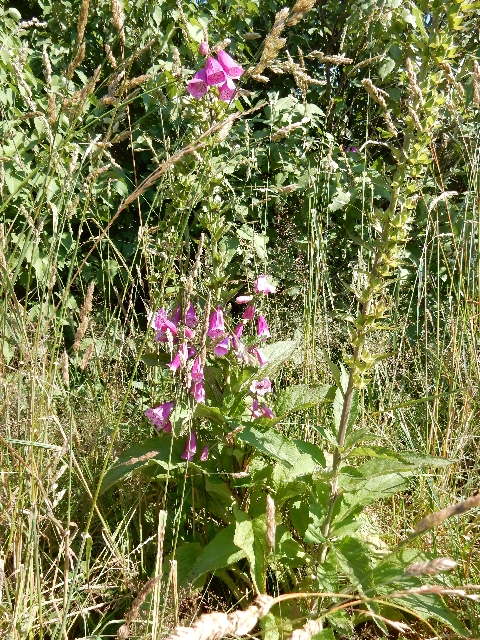
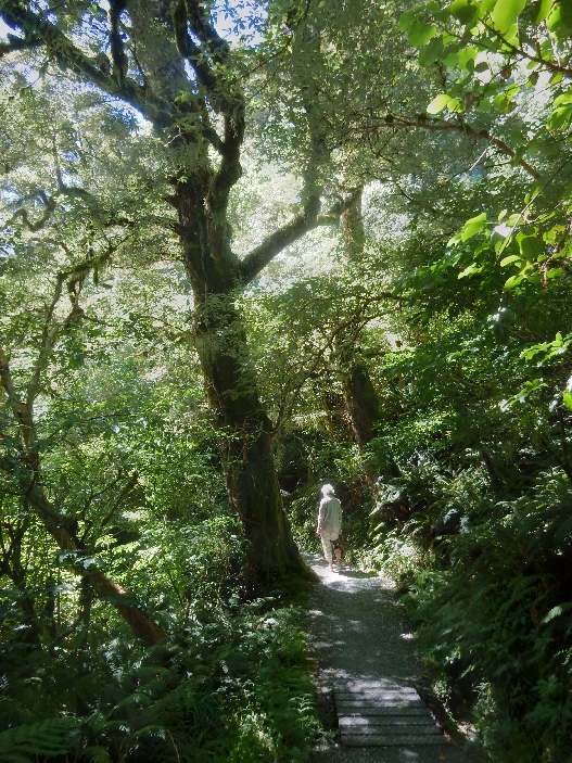
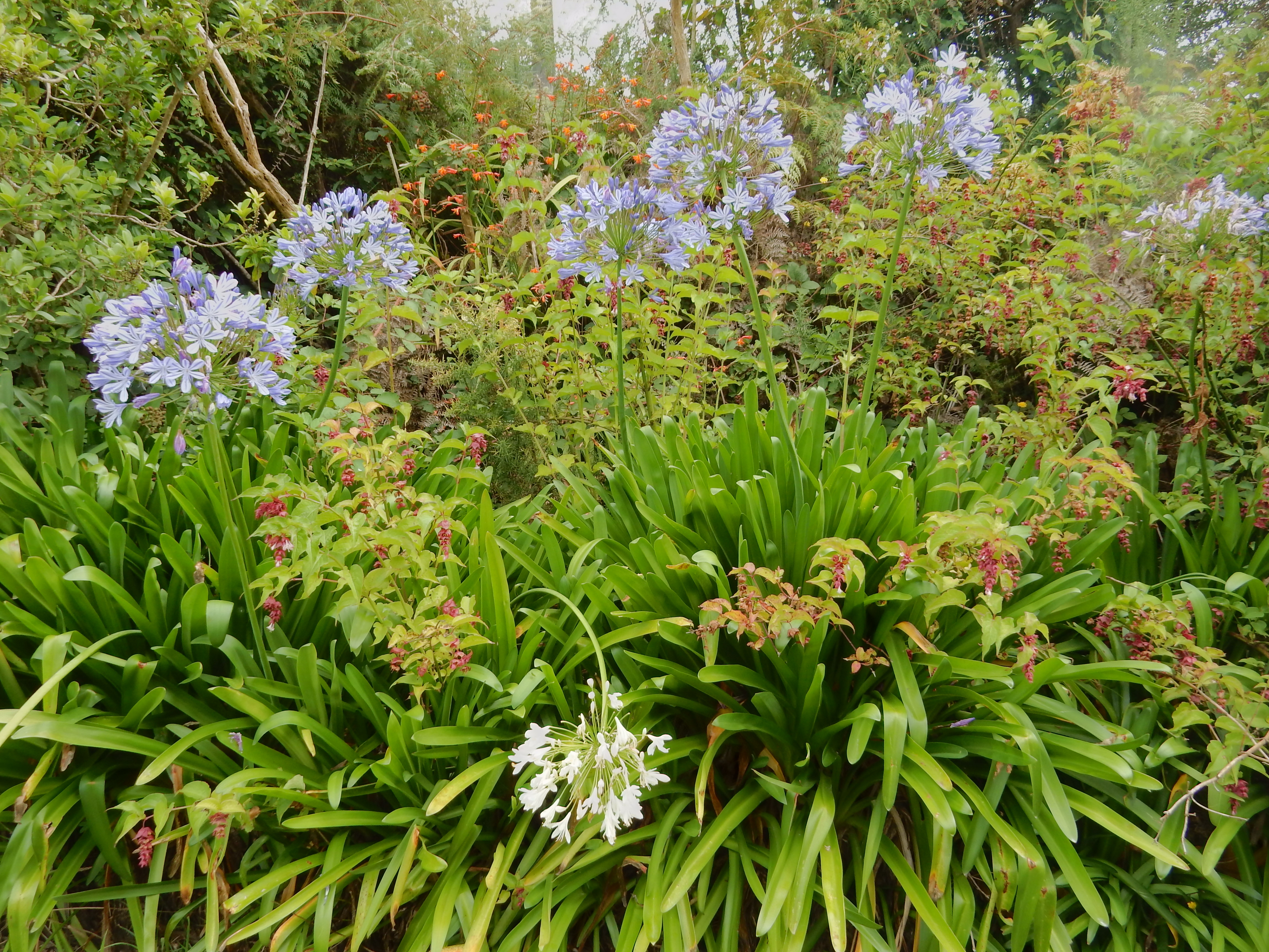
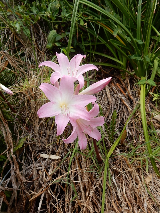
We had an in-room breakfast and then did the Glencoe Walk behind the Hermitage Hotel.  Flowers along trail

DSCN0577

It took a half-hour and gave us a good view up the Hooker Valley – Mt Cook right center

DSCN0580

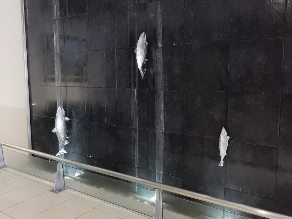
Did a walk through the Hermitage – cool fish on “weeping wall”

DSCN0584

Maori eve decoration

DSCN0585.1

Stopped by the attached Sir Edmund Hillary [first man to summit Everest, died in 2008] Alpine Center for a few pics

DSCN0586


DSCN0594

View inside the museum

DSCN0595

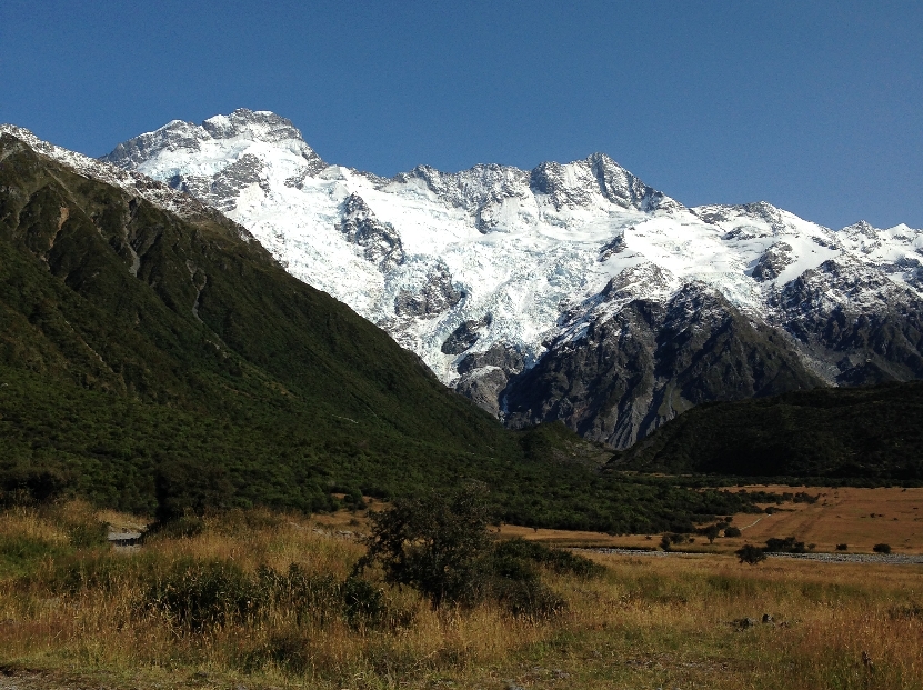
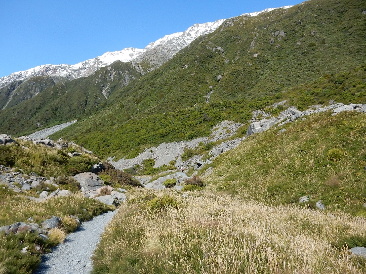
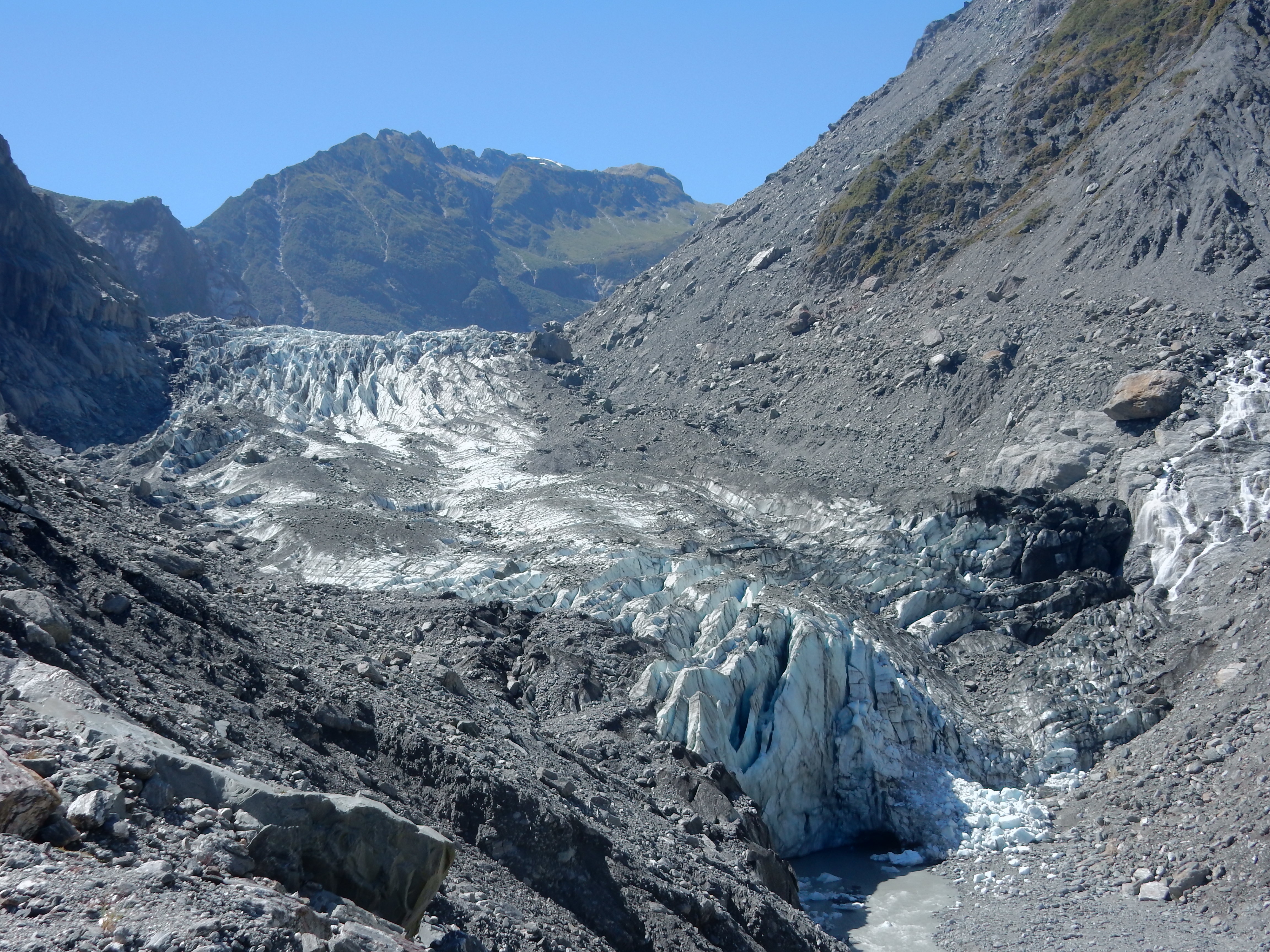
It had snowed the night before we arrived so the peaks were covered in a brilliant white as we started our trek to Kea Point. The scenery was amazing.

DSCN0596
Flowers along trail

DSCN0602

The trail description stated 2 hours return and that is exactly how long it took us, i.e. 2 hours round-trip

DSCN0603

Platform at end of trail, Mt Sefton on left 3151m or 10,335 ft, Mueller Glacier left of center

DSCN0605

Found some delicious wild raspberry bushes on our way back down the trail

DSCN0613

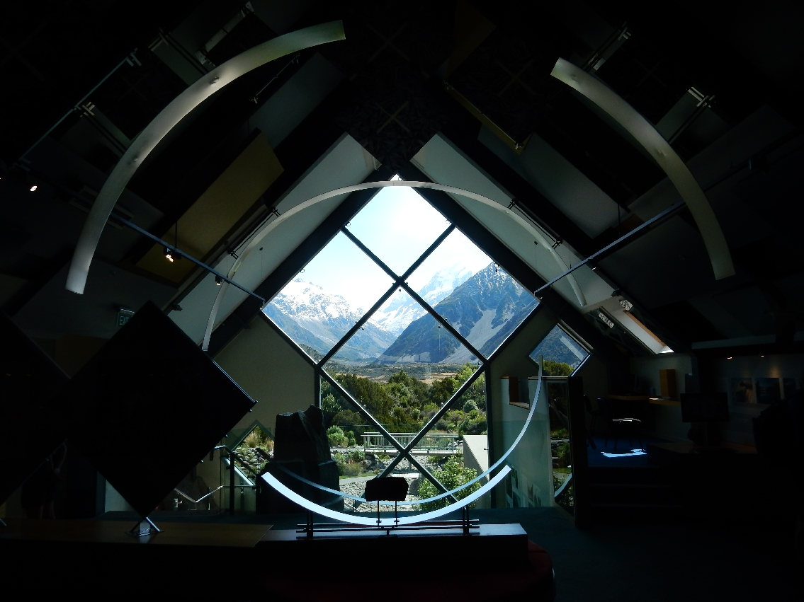
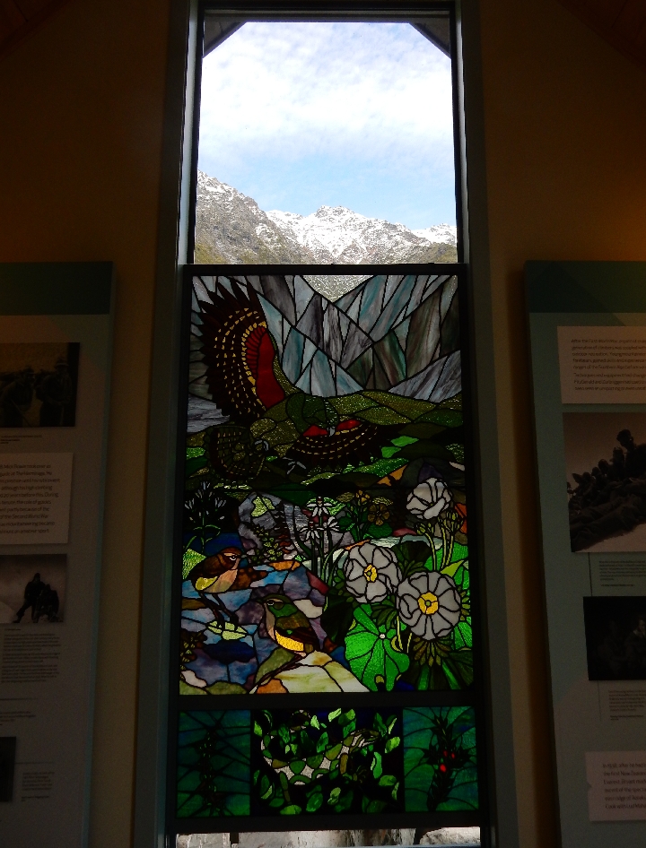
After returning to the village, we toured the Aoraki/Mt Cook NP Visitors Center

DSCN0614


DSCN0621


DSCN0622

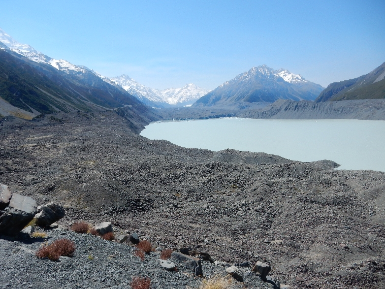
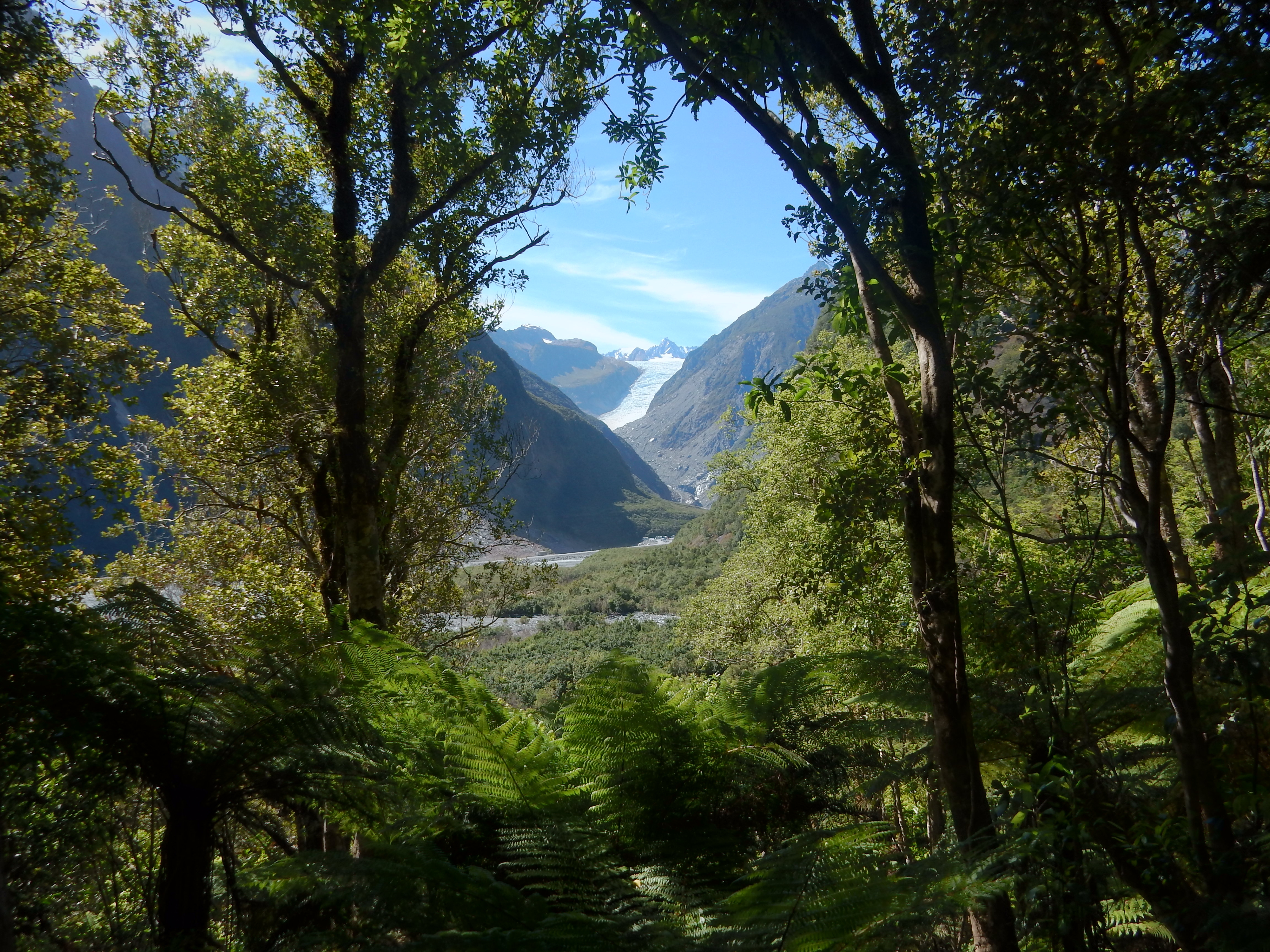
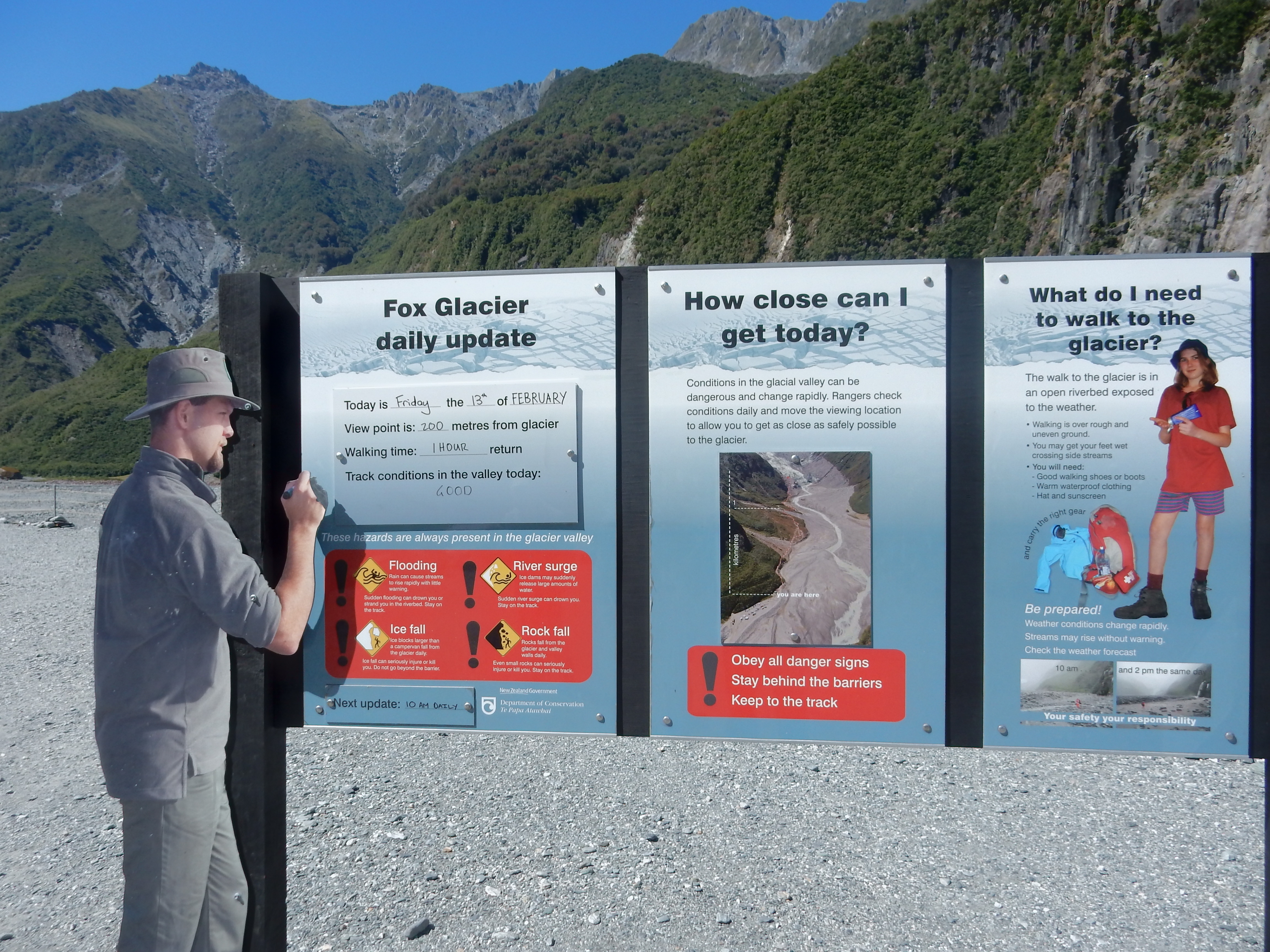
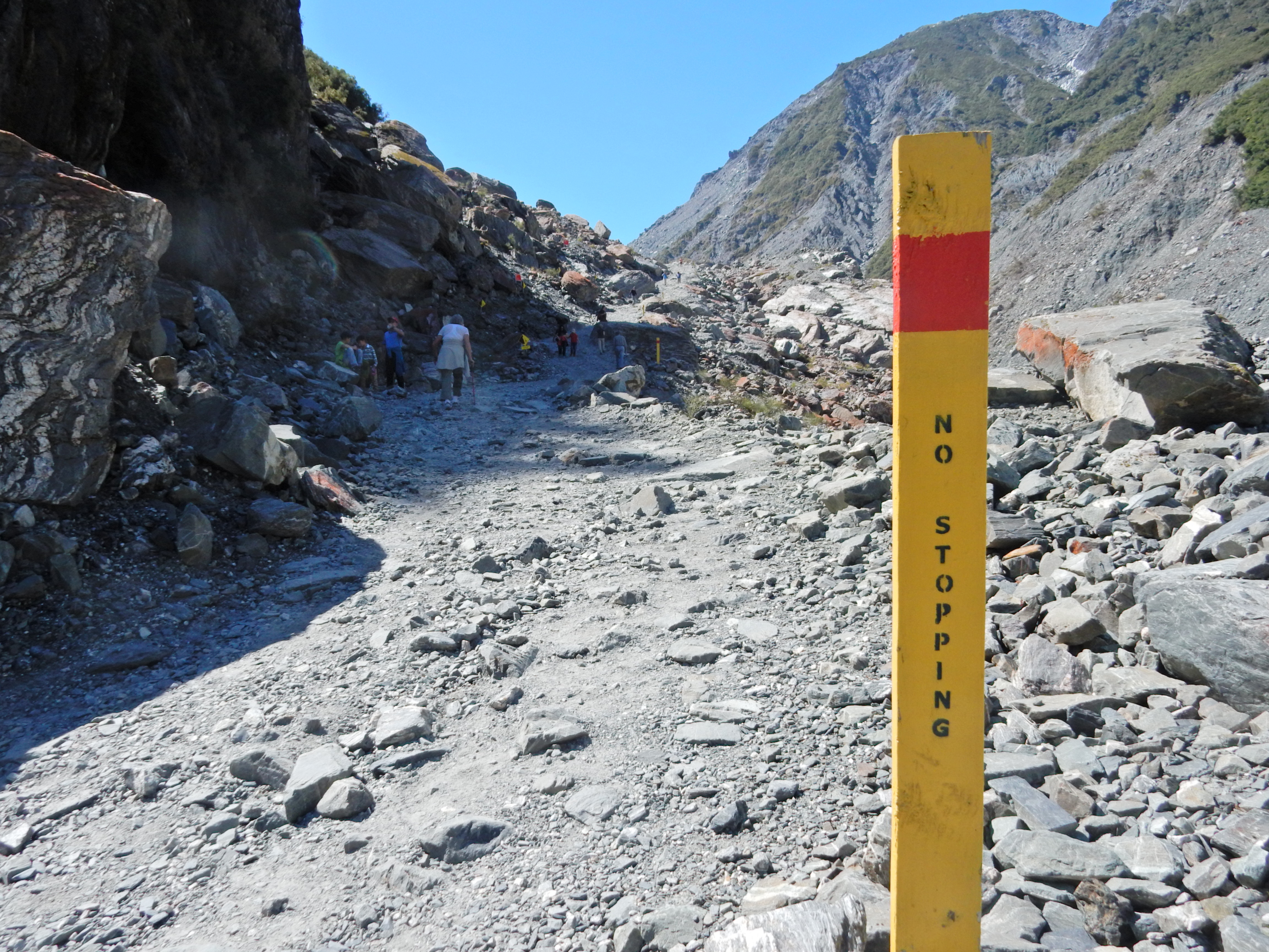
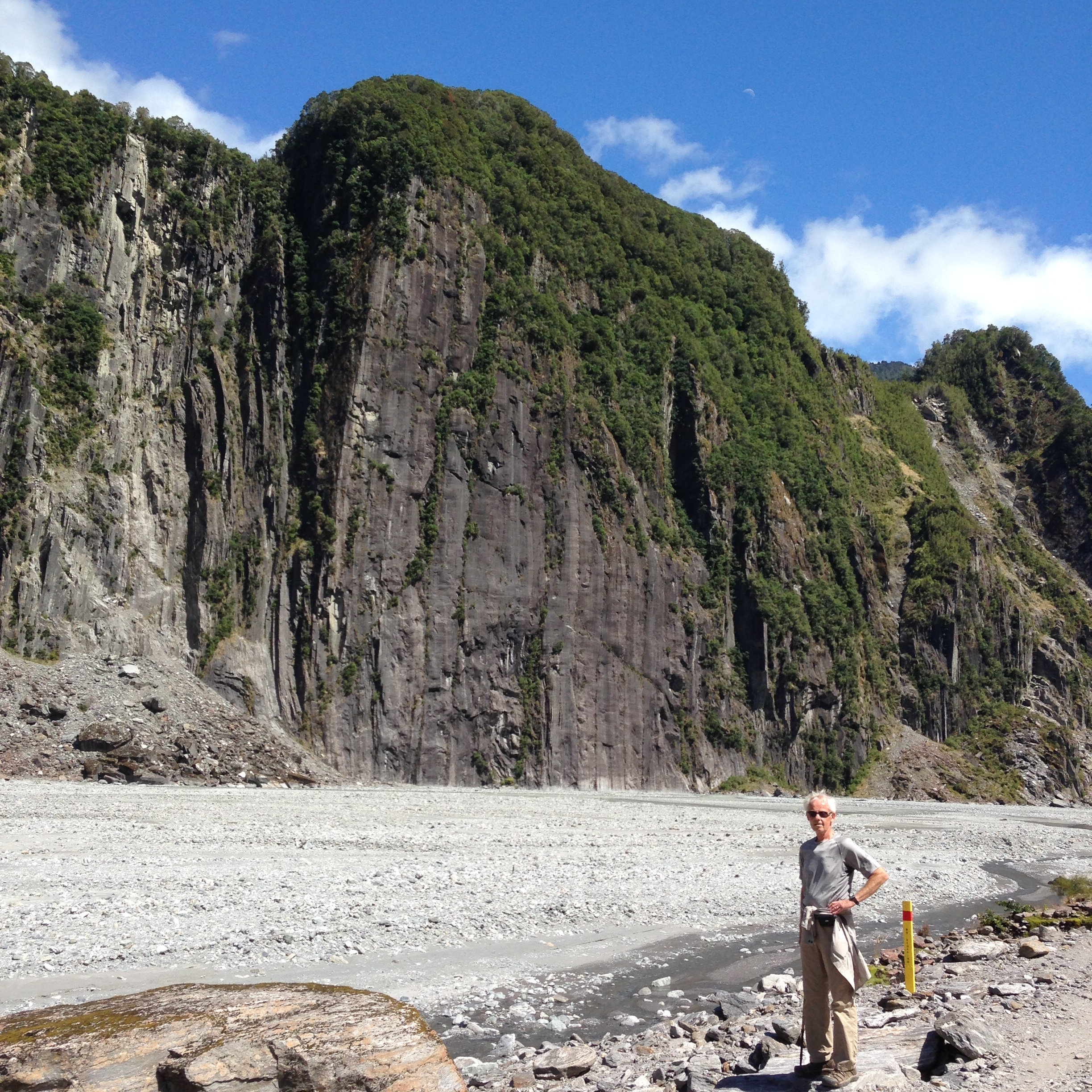
Ate microwave Chicken Pot Pies for lunch in our room and then drove up the Tasman Valley to do the Blue Lakes Walk. The lakes are now green with algae, because they are now filled with rain water instead of glacial melt.

DSCN0626

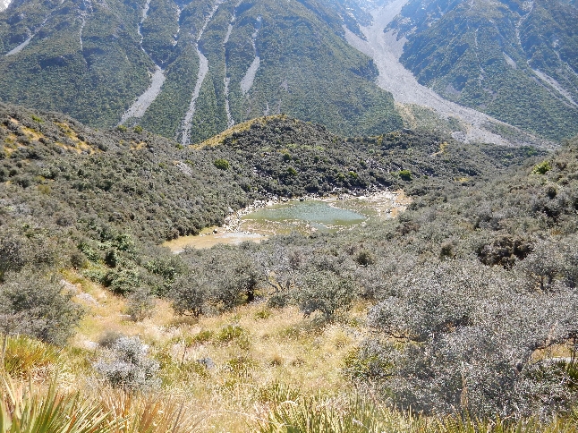
We then did the Tasman Glacier View Walk, which gave us a view further up the valley to the mountains. This is Tasman Lake with the Tasman Glacier at the far end.

DSCN0623

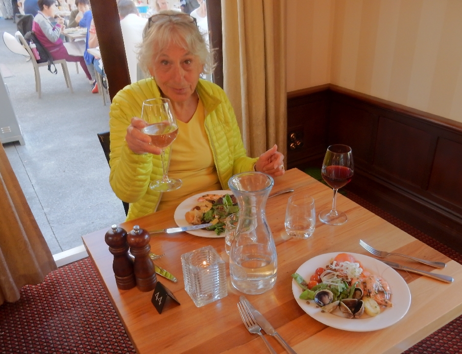
Returned to our room, cleaned-up and went to the Chaomis Bar & Grill for dinner.  New Zealand’s main exports are dairy products and lamb.  Our dinner selection – Southern Lamb, it was delicious.

DSCN0628


DSCN0631

We ended the day pleasantly tired and full!


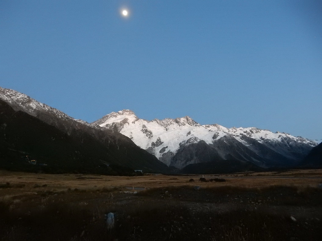
2/8 – Started at 6:30am with the moon bright above the mountains.  Photo taken from our patio.

DSCN0633

Drove to Omarama for a big breakfast and gas.

DSCN0634

Then continued on through Cromwell, which is a fruit growing area.

DSCN0638

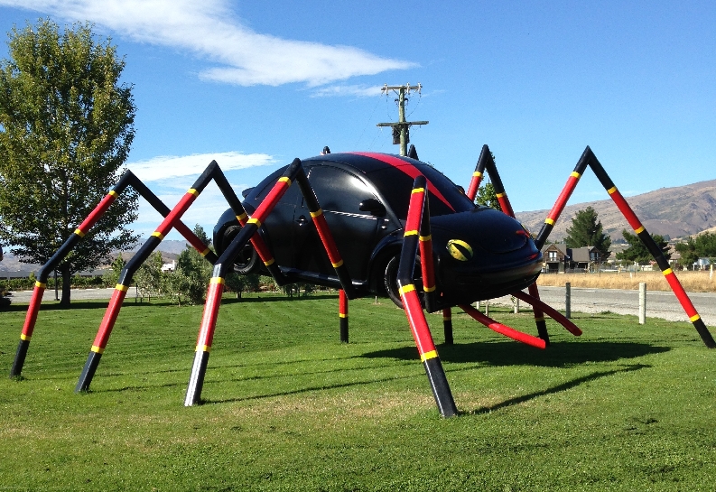
They had a lot of bugs as well

DSCN0639

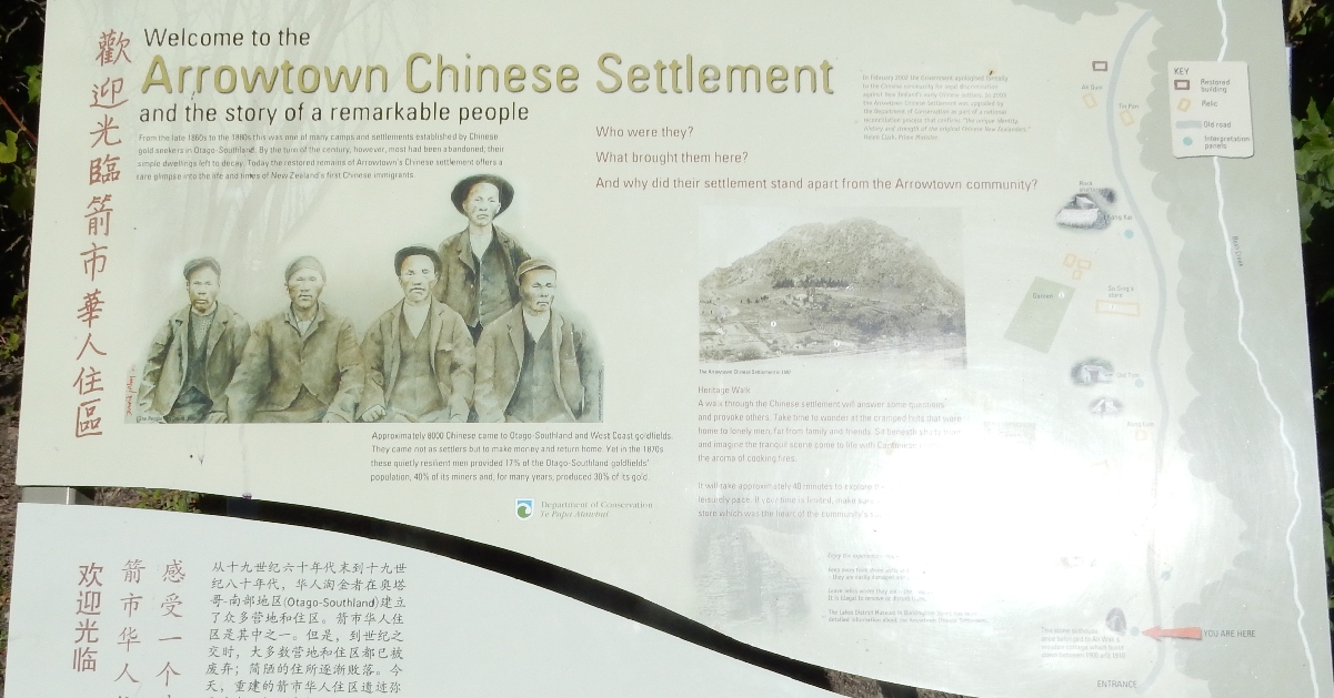
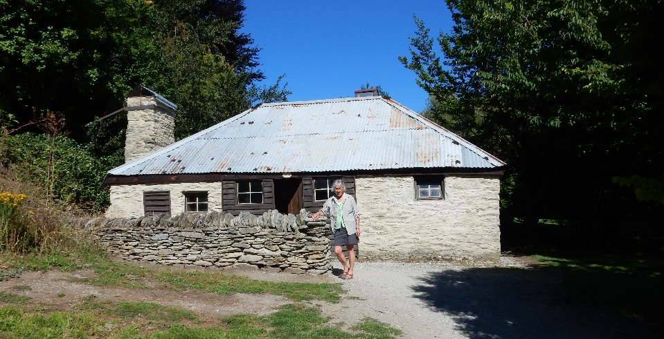
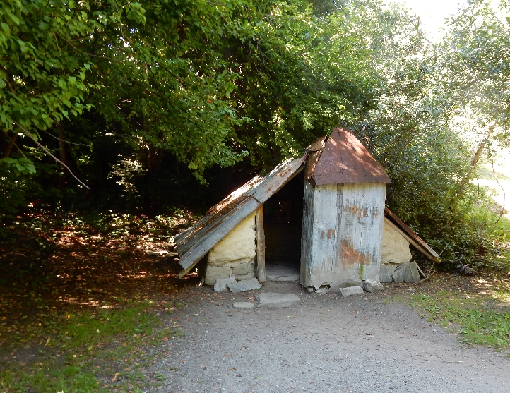
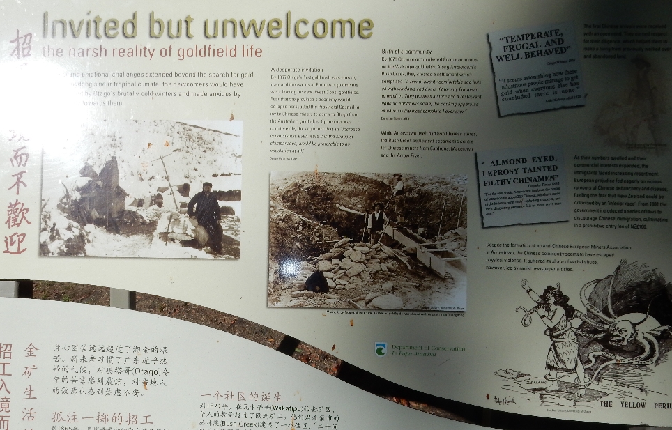
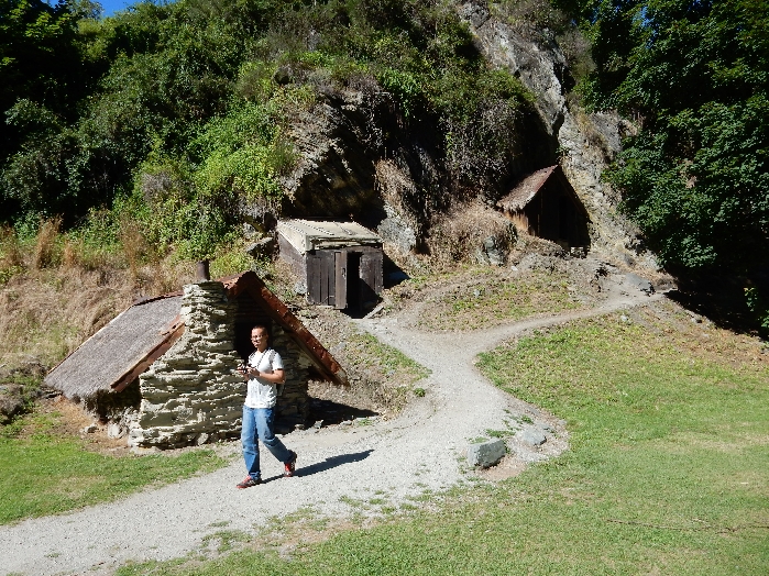
Then on to Arrowtown where we toured the historic Chinese Settlement. The Chinese came from the Canton region of China to work the gold fields and were treated as poorly as they were in the U.S.

DSCN0640.1

Village store – now Visitors Center

DSCN0640

The next series of pictures shows other “houses” in the village

DSCN0641


DSCN0642


DSCN0643.1


DSCN0643


DSCN0644

One of the Village desendents showed Helen how to shake a tree to get the ripe fruit.  She has a handful of little plums

DSCN0645

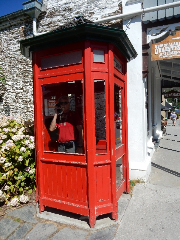
Telephone booth in Arrowtown; I bought a $9 milkshake – ummm!

DSCN0648

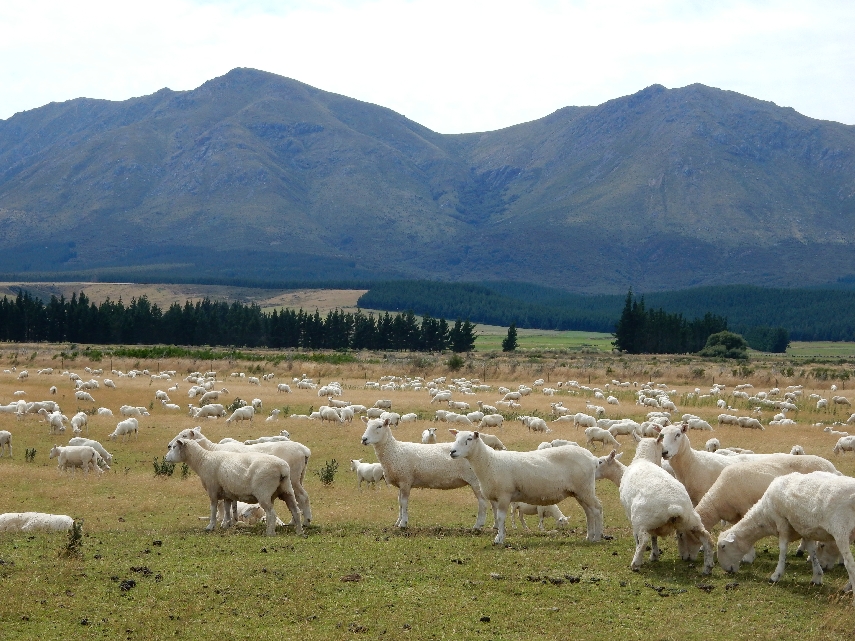
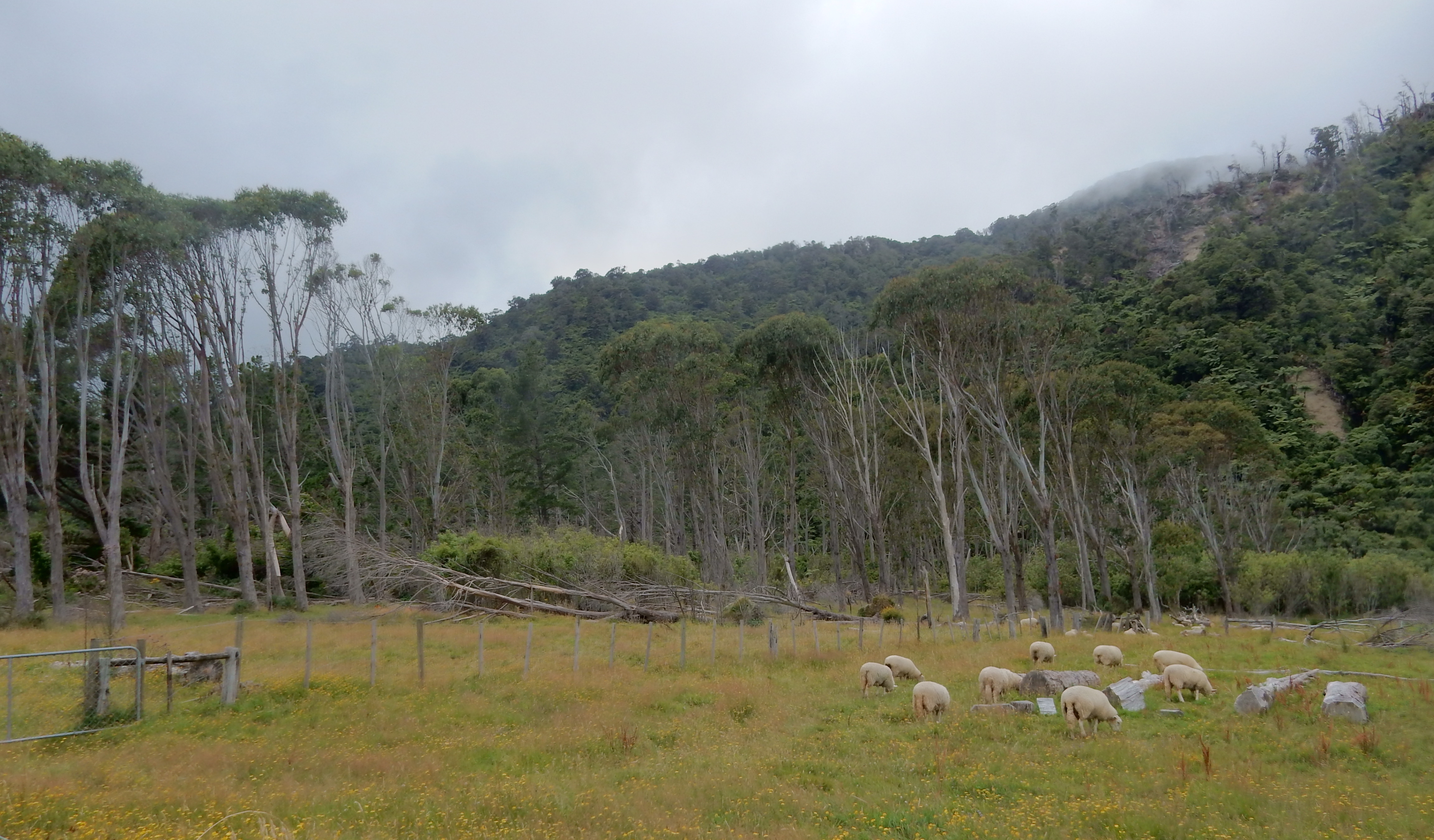
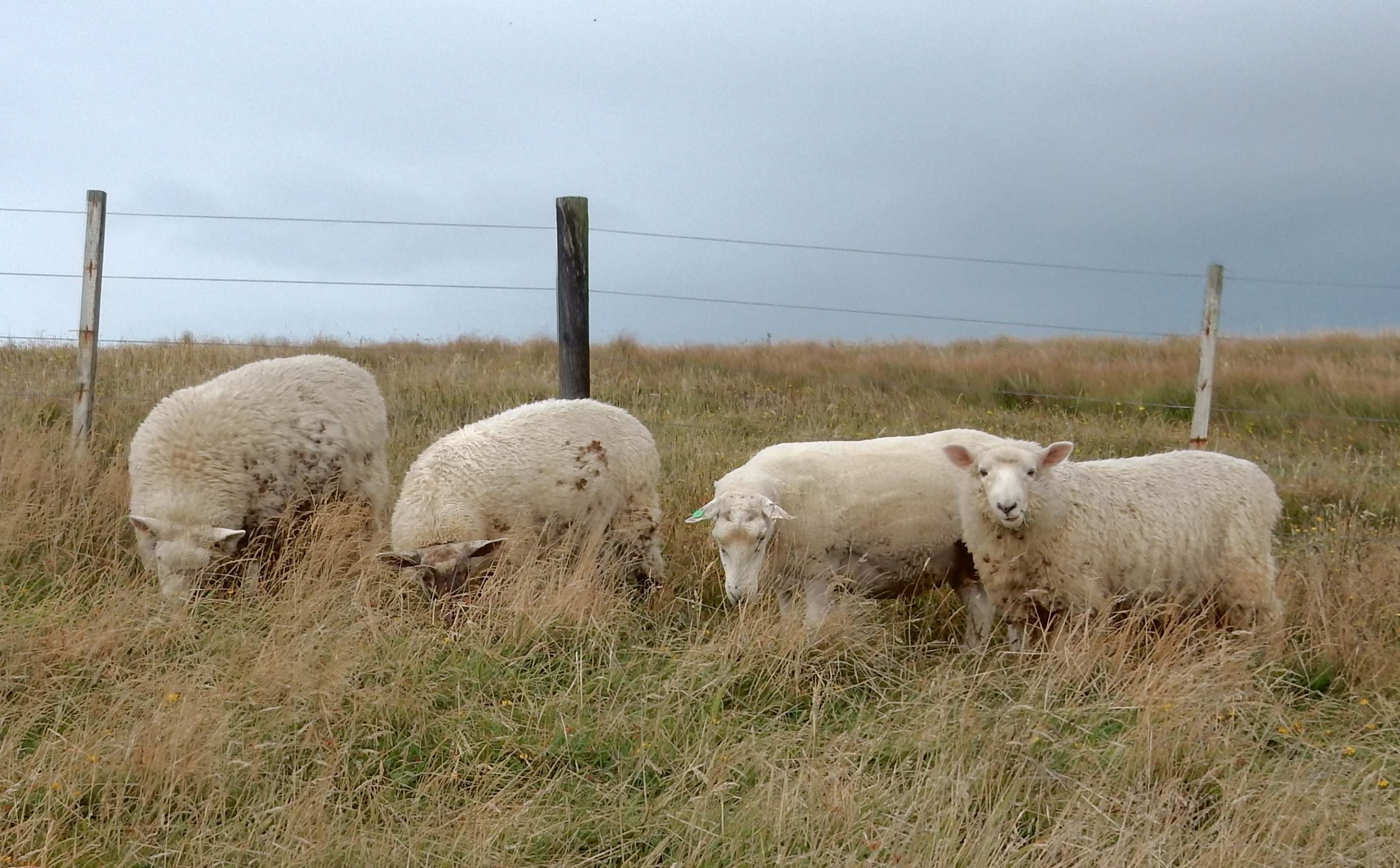
Along Rt 94 – Sheep, sheep everywhere

DSCN0649


DSCN0651

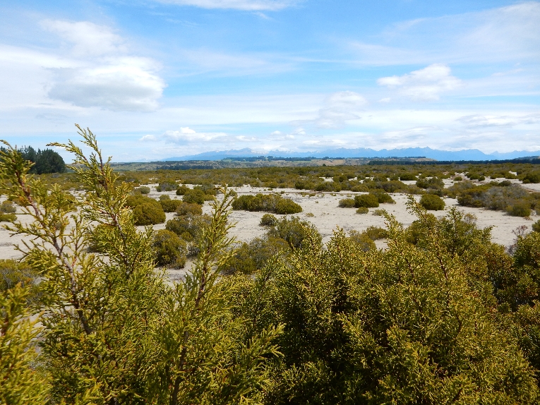
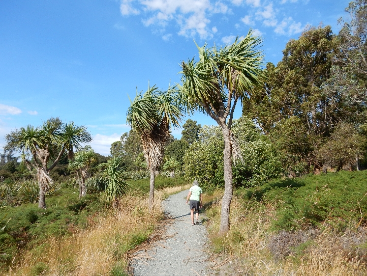
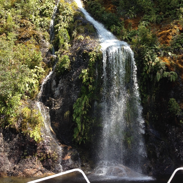
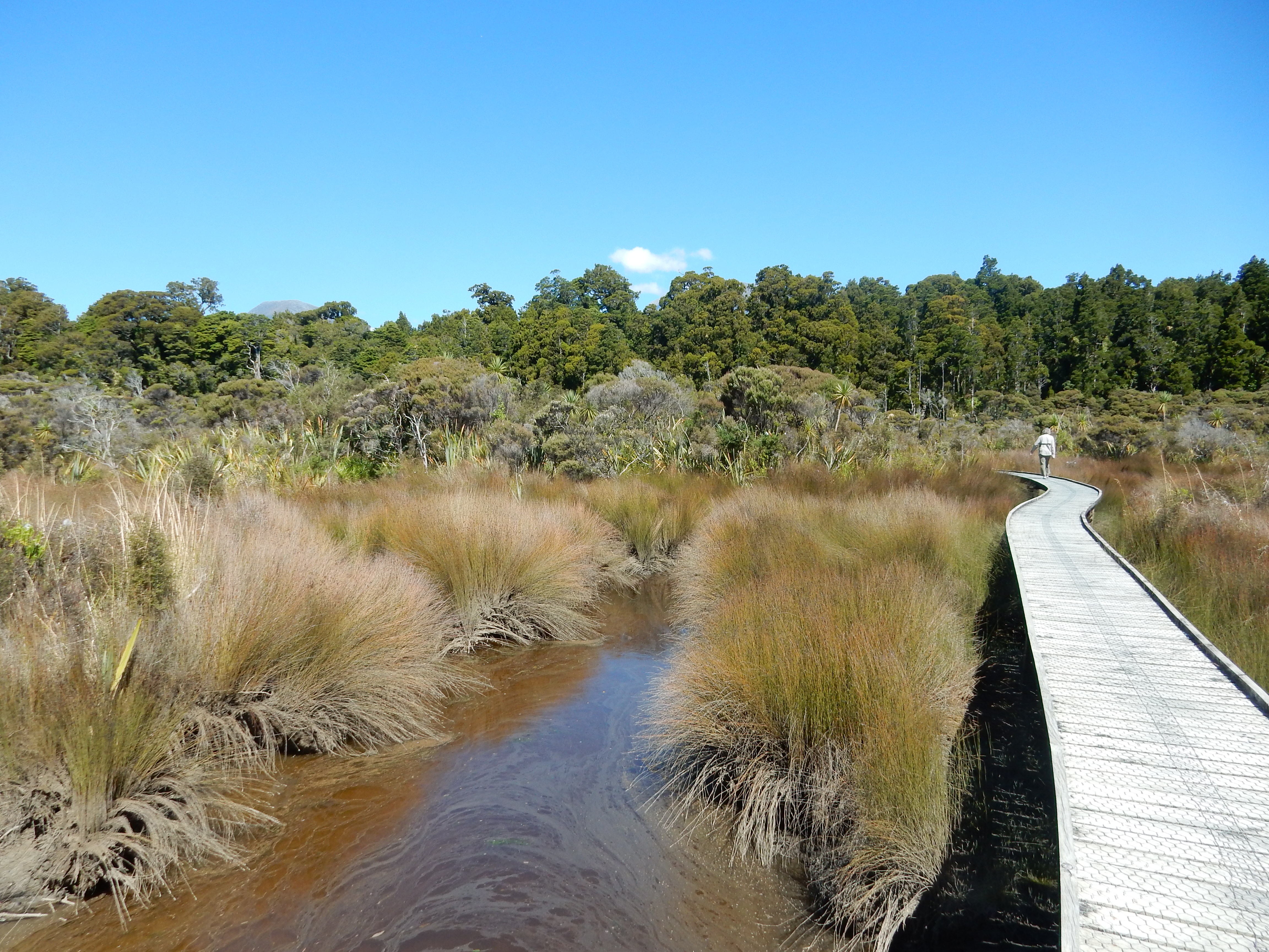
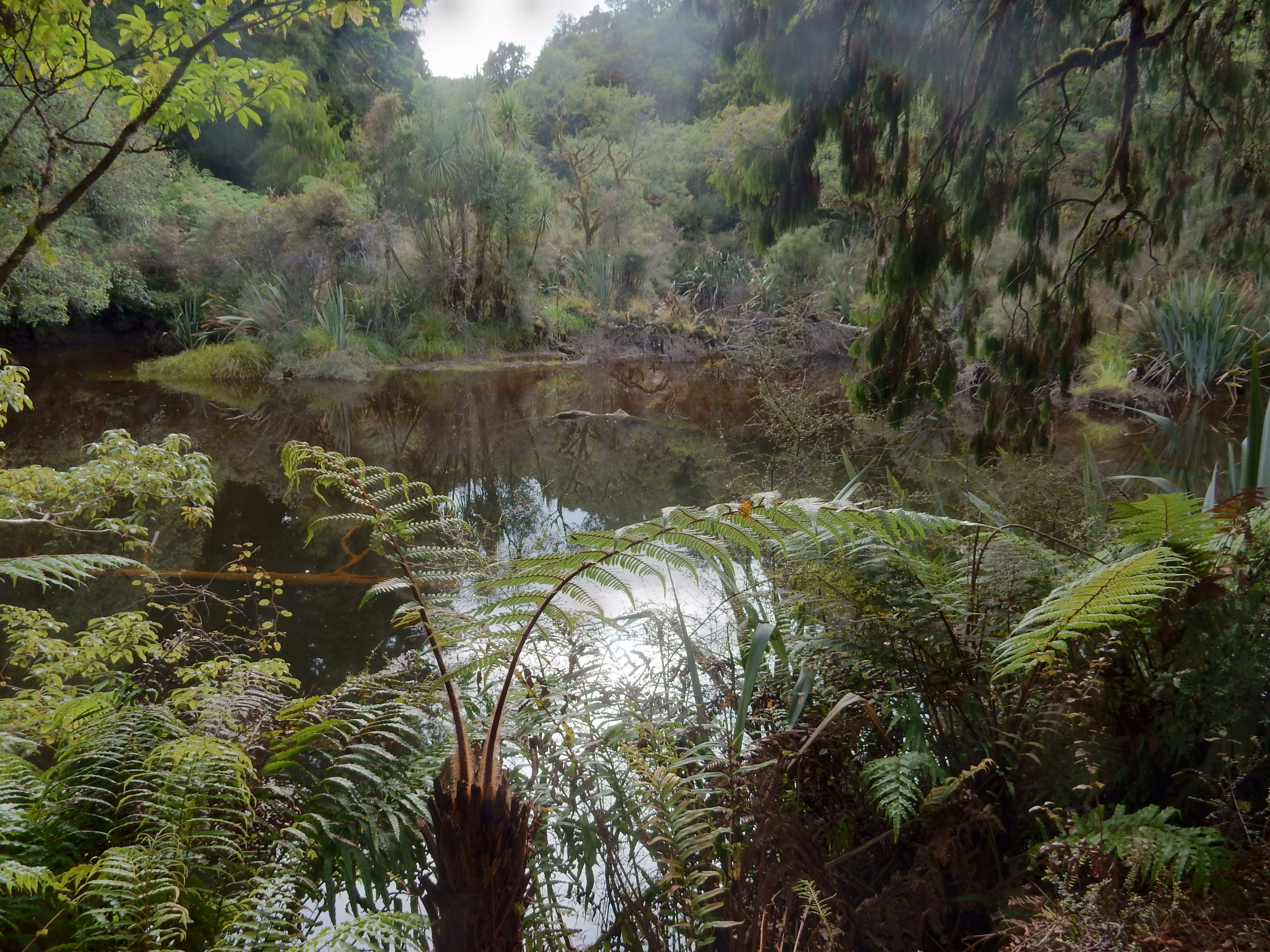
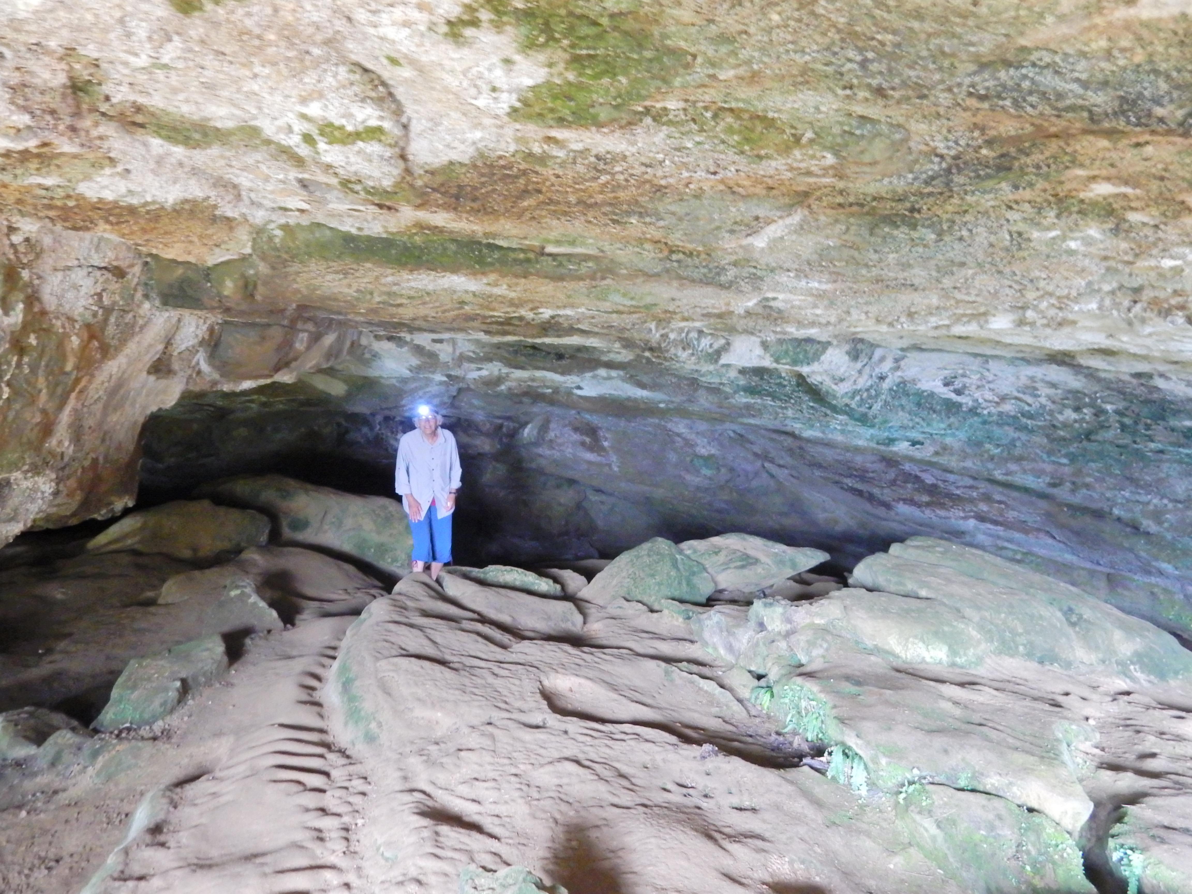
Took a short hike through the Wilderness Scientific Reserve outside of Manapouri

DSCN0653

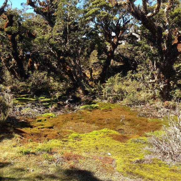
A unique shrubland environment of bog pine

DSCN0655

and racomitrium moss – it looks like dirt in photo but is very fragile

DSCN0656

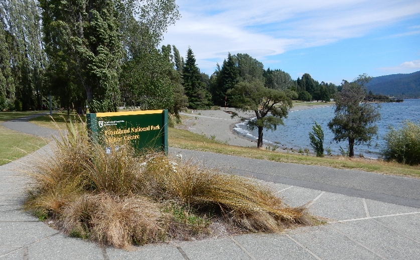
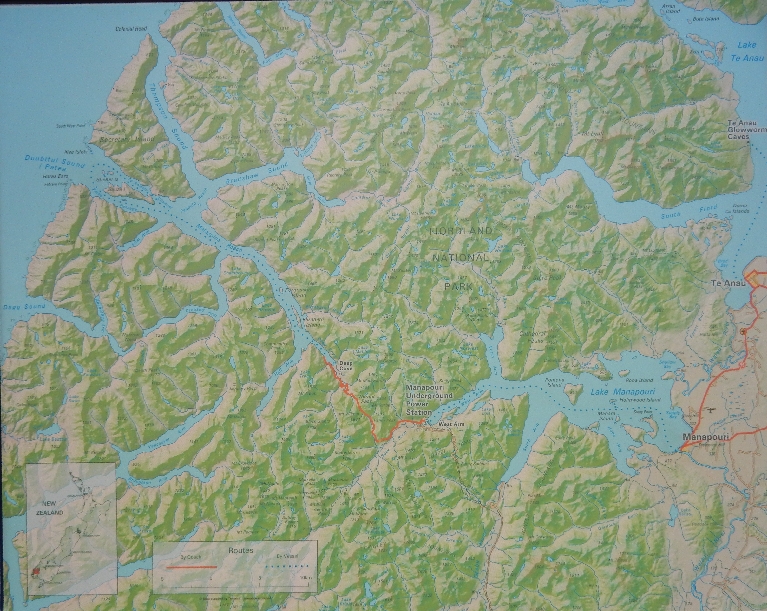
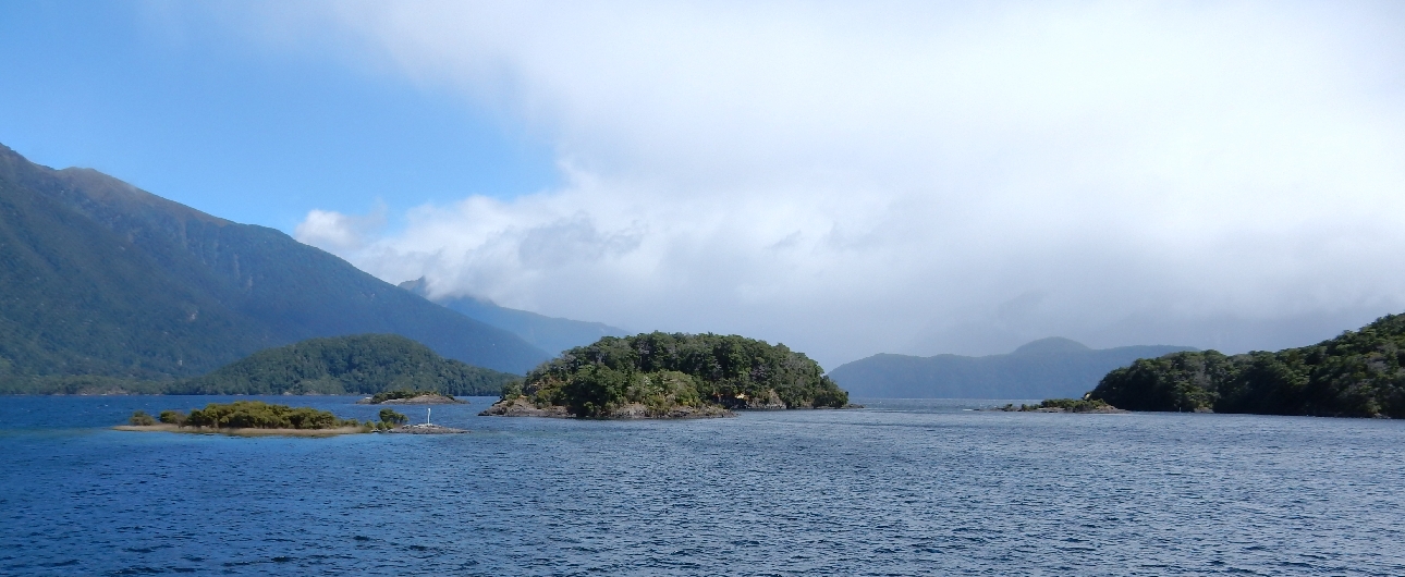
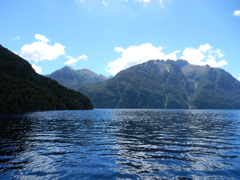
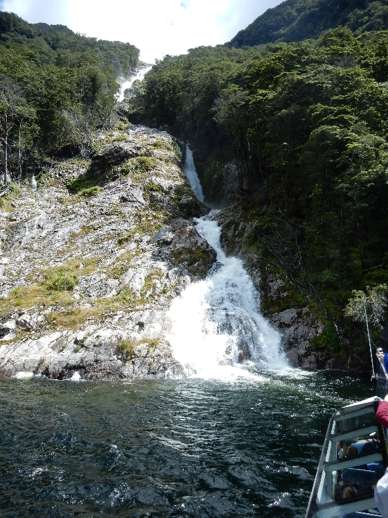
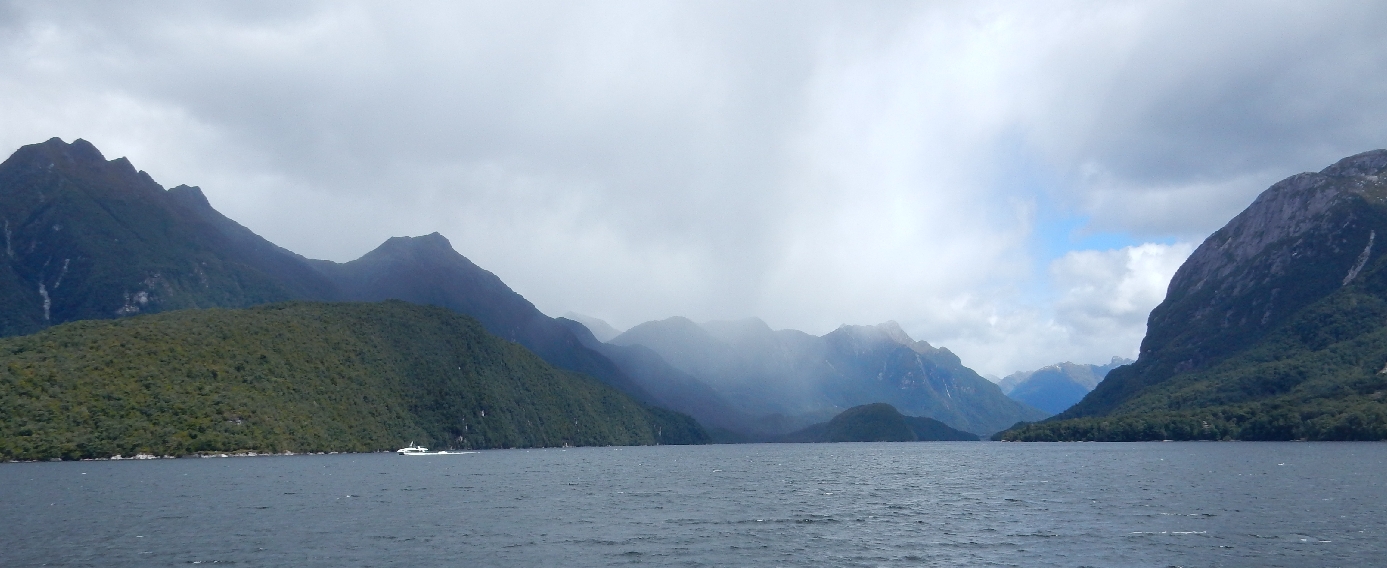
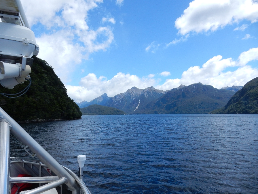
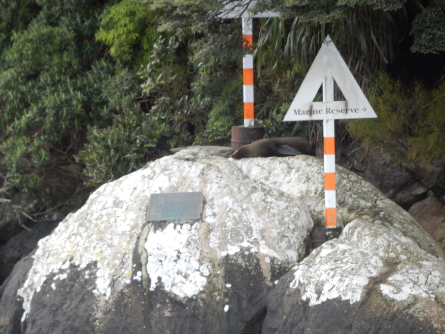
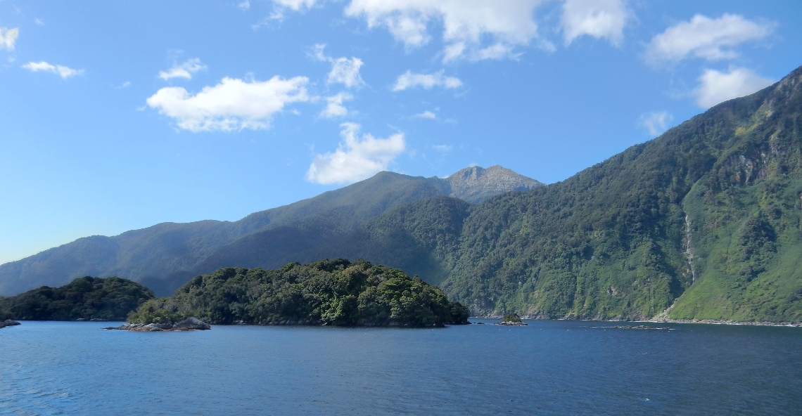
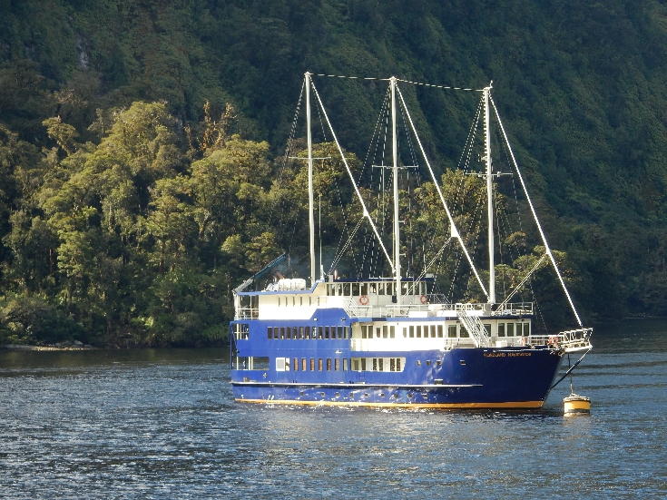
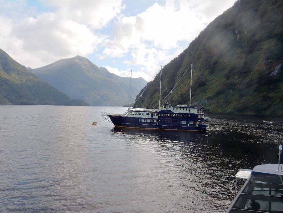
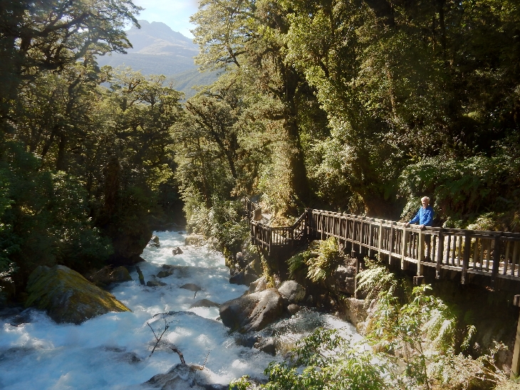
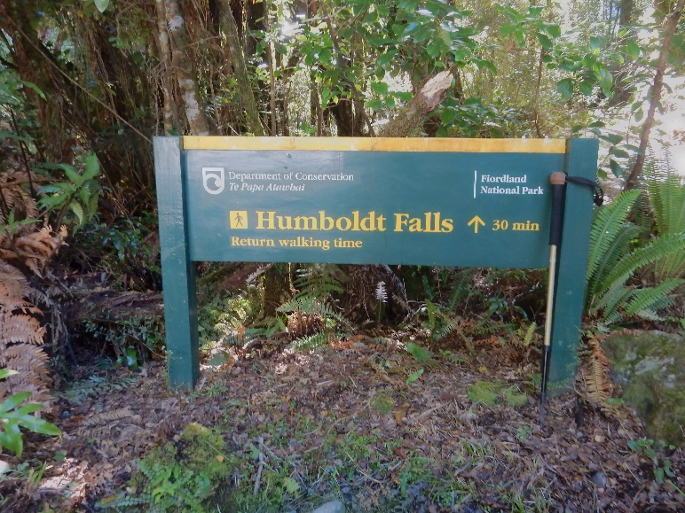
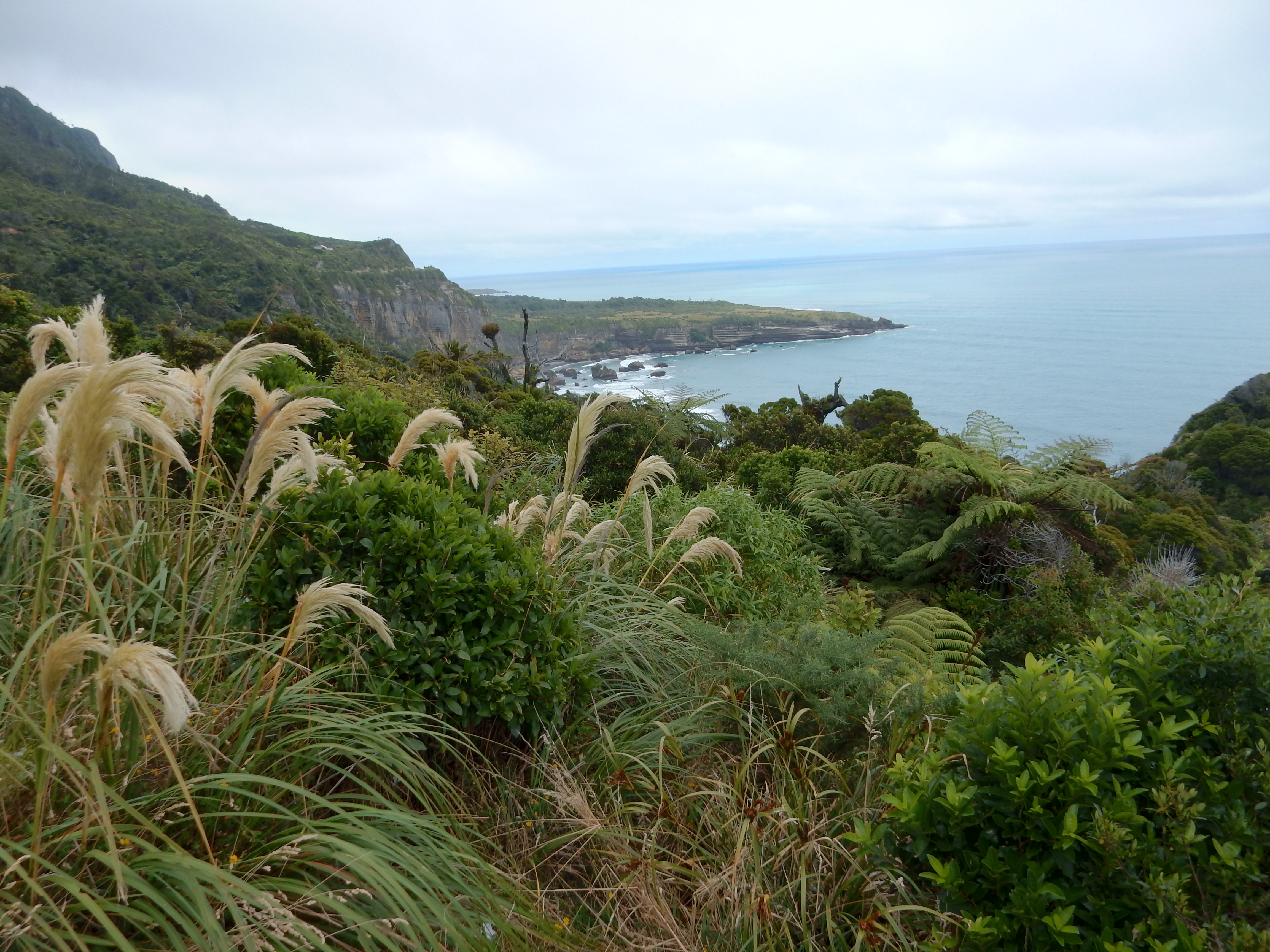
A bit down the road we entered Fiordland, a very large World Heritage Area

DSCN0654

Made it to Te Anau in time to visit the Fiordland National Park Visitor Center

DSCN0662

Early inhabitant display

DSCN0661

Model of Captain James Cook’s boat the H.M.S. Resolution when he visited southwest NZ in 1774

DSCN0658

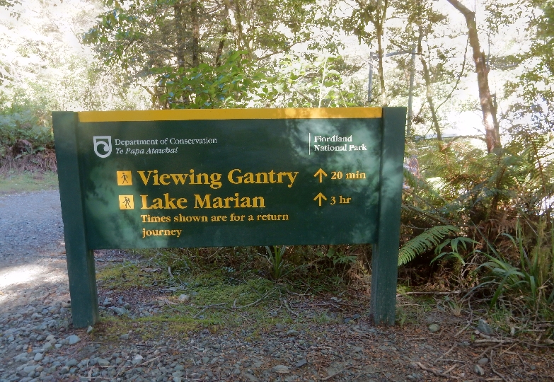
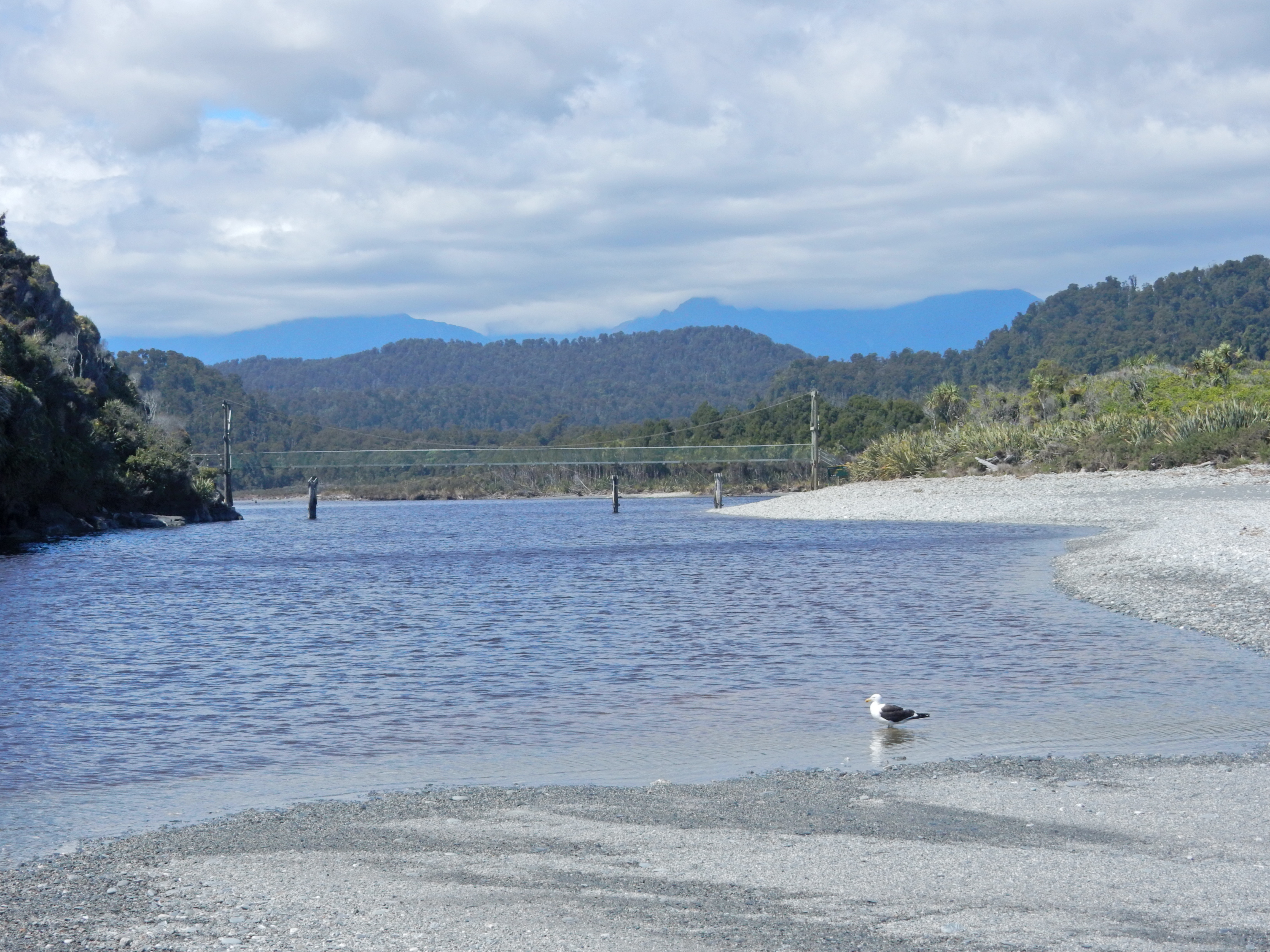
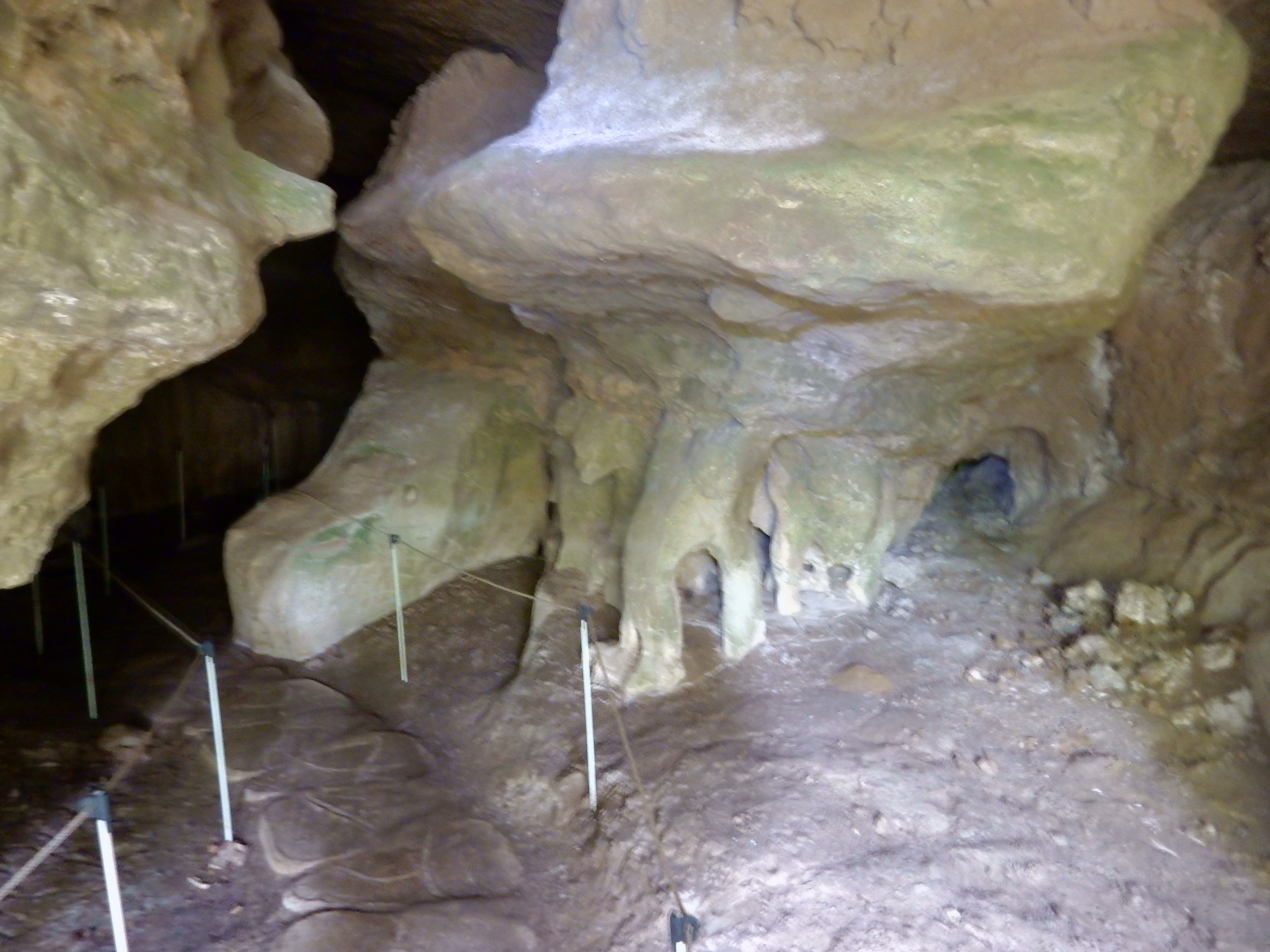
We then did the Lakeshore Walk to the Gates (small dam hydroelectric plant)

DSCN0664

Colorful, poisonous, mushrooms

DSCN0665

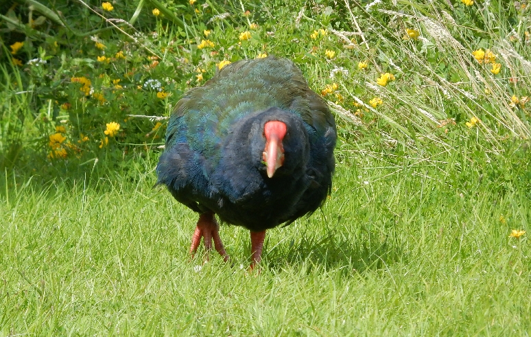
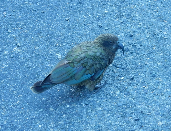
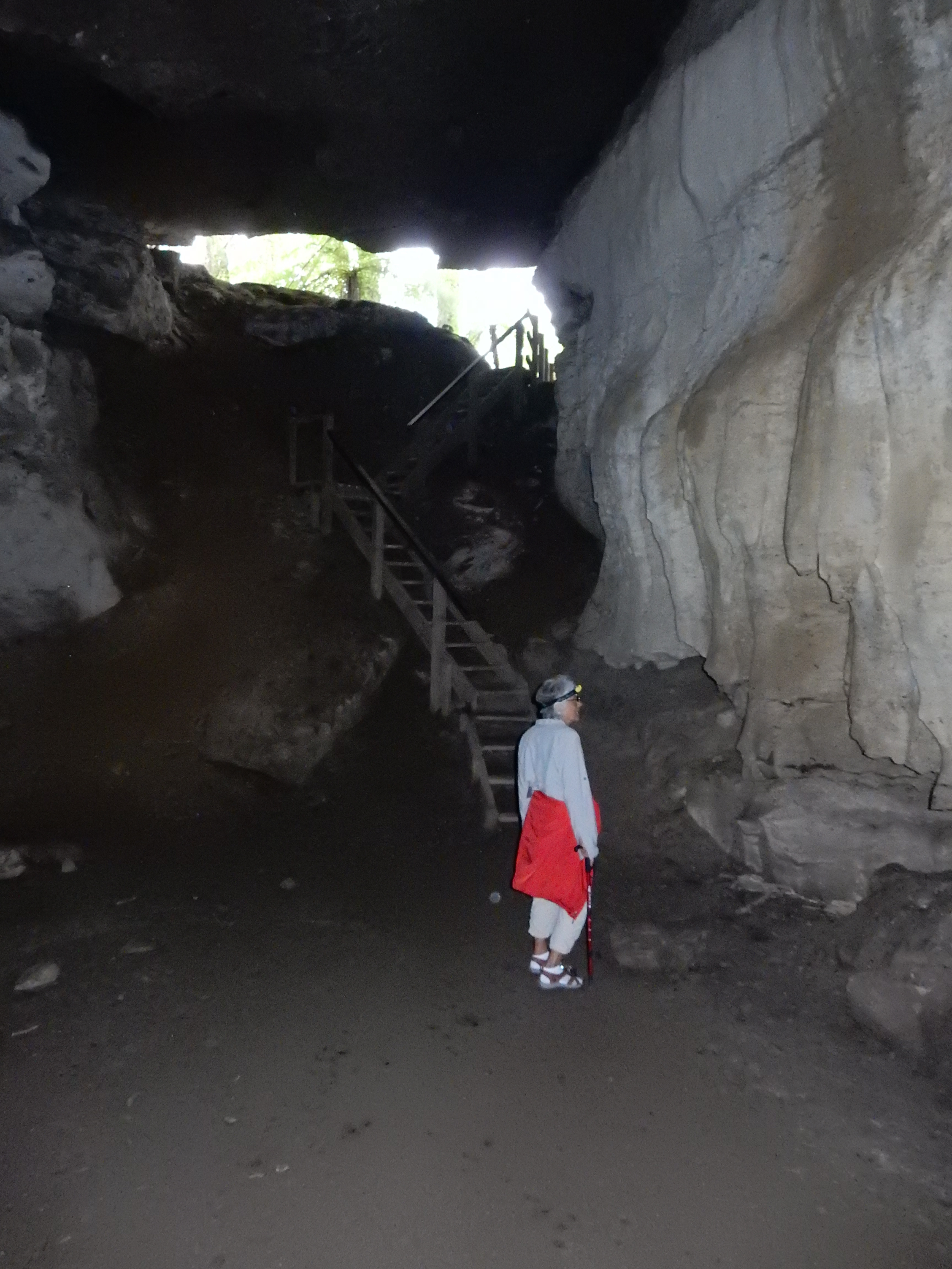
Trail passed through the Te Anau Wildlife Center, this is a Takahe, one of NZ’s flightless birds

DSCN0666

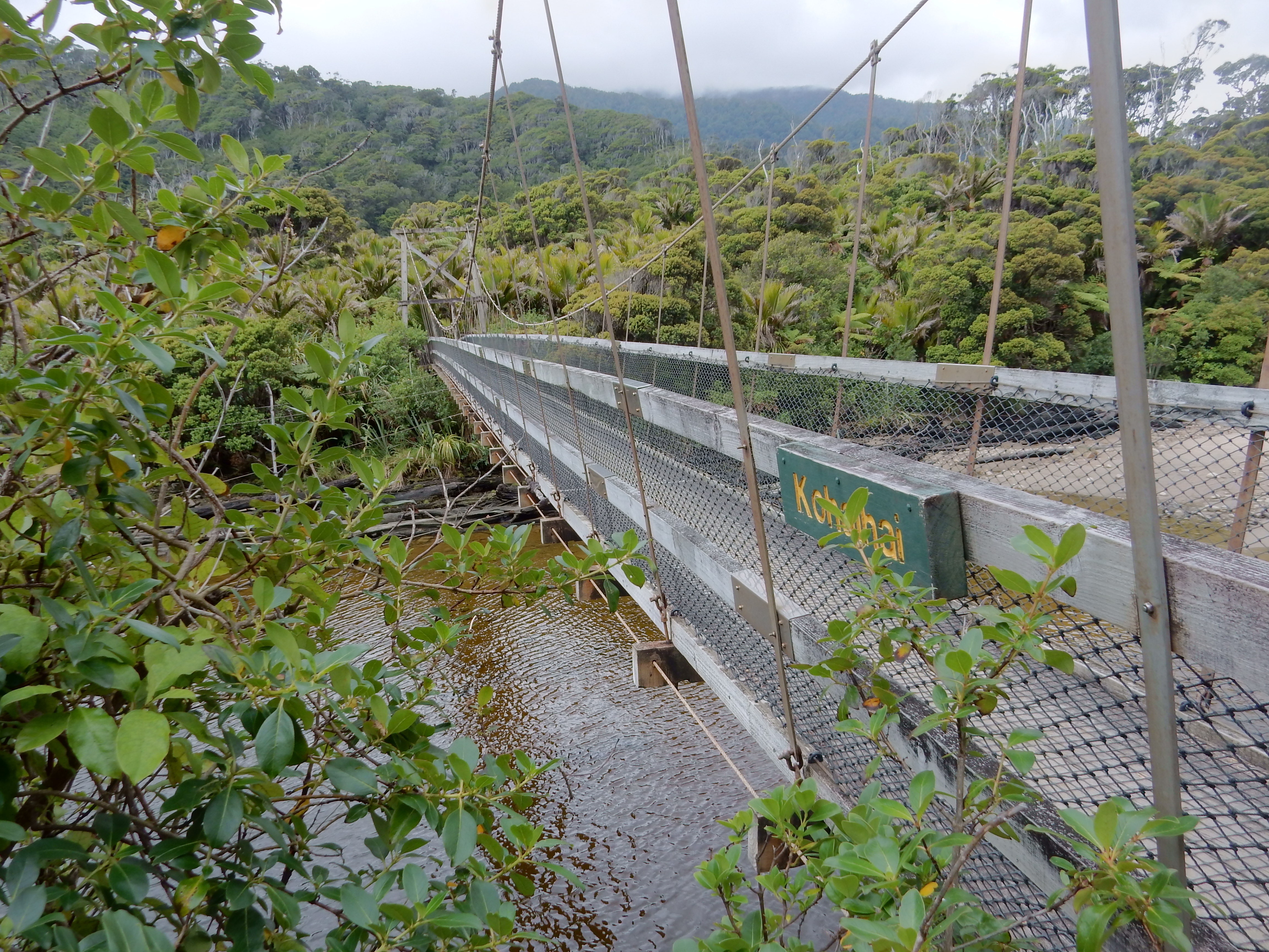
We hiked across the dam to the start of the Kepler Track 669

DSCN0669

Returning to Visitor Center – Again, in the U.S., trails are stated in miles.  In New Zealand they are stated in minutes.  Our Lakeshore Walk was listed as 60 minutes to the Gates and the same to return.  What that means is that you would get to the Gates in 60 minutes if you continued non-stop at a moderate pace.  That is exactly how long it took us even though we did stop for pictures.  Round-trip we covered about 5 miles.

DSCN0671

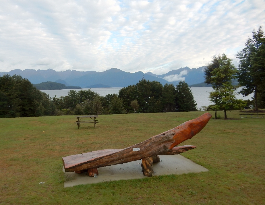
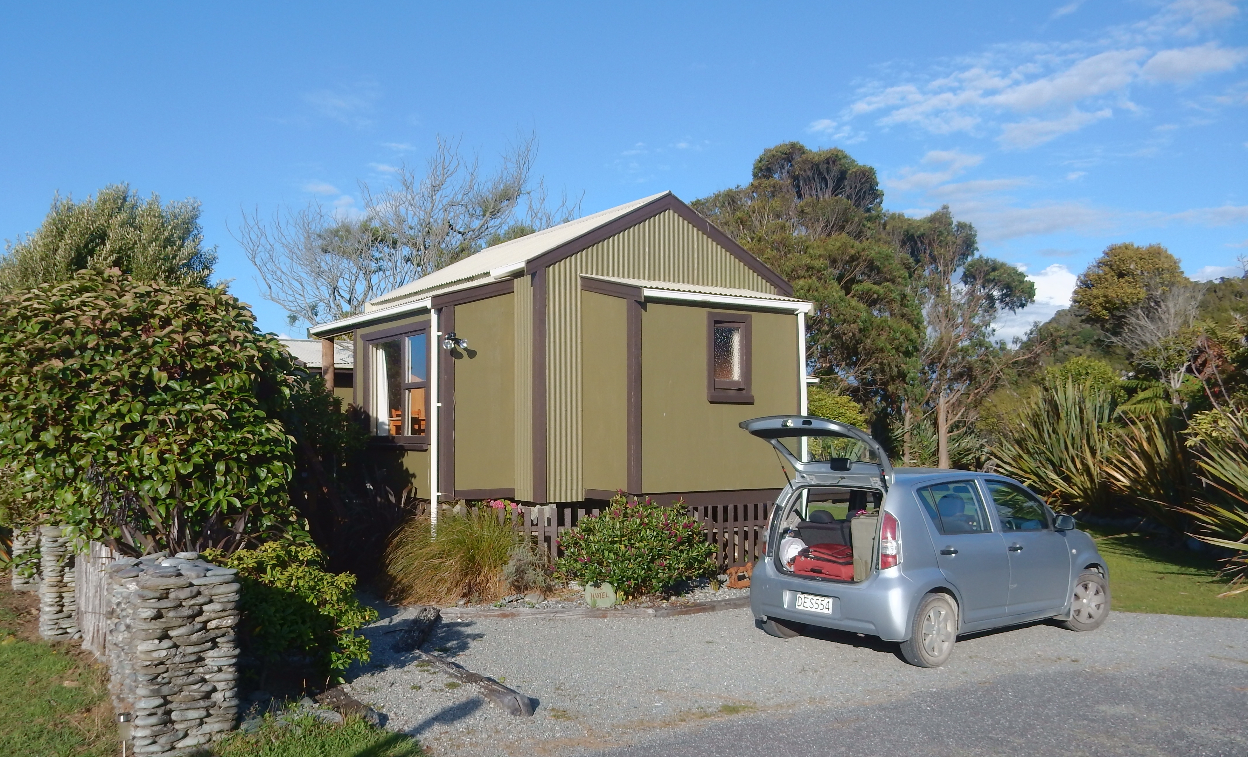
Drove to Manapouri to check into our room and discovered it was taken!  The good news is that they gave us an entire vacation house for the night instead.  Great views over the mountains and river.


h1

New Zealand 2

February 23, 2015

2/9 – Great morning view from our vacation house

DSCN0676

Had breakfast in Manapouri, this is the view from across the street, then went back to the house and prepared for our overnight cruise to Doubtful Sound.

DSCN0675
Map showing Manapouri (start of cruise on Lake Manapouri, West Arm (end of lake cruise), bus route over Wilmot Pass, and Deep Cove (start of cruise on Doubtful Sound)

DSCN0679

Ready to board

DSCN0682

Ate our left over spaghetti from the night before for lunch and boarded the boat to take us across Lake Manapouri at noon.  We were told our cruise boat, the Fiordland Navigator, was under repair in Christmas Cove of Doubtful Sound.  As a result, our cruise boat to the West Arm of Lake Manapouri extended its tour time on the Lake by over an hour.

DSCN0683

Start of lake cruise

DSCN0686


DSCN0697


DSCN0704

Captain

DSCN0692

Anxious to get to our Doubtful Sound cruise boat, we actually became bored as the captain drove into various coves and pointed out numerous waterfalls

DSCN710.1


DSCN0701


DSCN710.2


DSCN0714

Interesting “Spider” rock formation

DSCN0710

Passing another cruise boat on Lake Manapouri

DSCN0716

Approaching “Giraffe” – do you see it?

DSCN0706


DSCN0719

We eventually landed at West Arm and then were taken by coach over Wilmot Pass to Deep Cove.  The bus driver was excellent – he was clear, articulate, descriptive, informative and funny as he kept us entertained on the 50 minute ride.

DSCN0720

We also had three short stops on route. This is the view from Wilmot Pass to West Arm

DSCN0721

Waterfall on route

DSCN0735

Huge ferns

DSCN0738 Arriving at Deep Cove, we learned that the Fiordland Navigator was not yet repaired and that another small cruise boat, like on Lake Manapouri, would be doing the afternoon cruise and then dropping us off at the Navigator. The scenery was fantastic as we moved down the Sound to the Tasman Sea.

DSCN0743

Technically, a Sound is formed by a river and a Fiord is formed by a glacier.  However, though Doubtful “Sound” was formed by a glacier it is still called a Sound.

DSCN0746

It is one of New Zealand’s largest sounds (3 times the length and 10 times the area of Milford). NZ Flag, they are now considering changing it, perhaps eliminating the British Union Jack part.

DSCN0748

It is a wilderness area of fractured and gouged mountains, dense forest and thundering waterfalls.

DSCN0745


DSCN0749


DSCN0750

In 1770, Captain Cook labeled it Doubtful Sound because he thought that if he sailed into the Sound he would have trouble getting out.  We were told that the captain was right because, on average, there is a westerly breeze only two days a month!

DSCN0754

Another Selfie

DSCN0760

Approaching the Tasman Sea (ocean)

DSCN0761

Plaque recognizes an early Spanish landing, sign points to Marine Reserve and a seal lounges on the rocks

DSCN0763

As we moved into the swells and wind of the ocean it became quite rough and the boat turned to head back up the Sound.

DSCN0767


DSCN0768

We proceeded to Christmas Bay where we found the Fiordland Navigator repaired and ready to be boarded.

DSCN0788.1

“Designed along the lines of a traditional scow, the Fiordland Navigator blends old world charm with modern comforts that include spacious viewing decks, a dining saloon/fully licensed bar and an observation lounge.”

DSCN0788

Boarded boat to boat at 5pm – it sleeps 70

DSCN0790


DSCN0792

We were immediately given a safety briefing, assigned cabins and told to prepare for water activities.  I chose to kayak and Helen did the outboard boat tour. The next three pictures were from the water camera and again are not very good.

DSCN0795


DSCN0796

Returning to the boat

DSCN0799.1

The last rays of sunlight for the day filter through an arm of Doubtful Sound

DSCN0799

Three course gourmet buffet dinner prepared by onboard chef

DSCN0805

My first plate full!  !  The evening ended with a nice slide show describing Fiordland National Park.
DSCN0806


2/10 – The engines started at 6:15am and we were up for breakfast at 7:15.

DSCN0815

It was cold as we explored other areas of Doubtful Sound

DSCN0821

Mountains, water, waterfalls and clear, crisp, clean air!  Oh that we could breathe it every day –

DSCN0828

Clouds and mist were spectacular.

DSCN0829

Ben, Adele, Cameron (10) and Oliver (8) from London shared our table for the gourmet dinner the previous evening.  Afterward, Helen taught Cameron and Oliver how to play Farkle, which was a big hit. Here they are in the morning with Helen introducing them to a type of solitaire. They had quit their jobs, rented their home and were on a year-long around the world adventure!

DSCN0837

Cameron and Oliver

DSCN0838

We also met Pat and Karen from CO onboard. Here we are showing off our Eddie Bauer fleece jackets!

DSCN0840

Reversing our course and heading back. Landed at Deep Cove, traced our route back over Wilmot Pass to the West Arm of Lake Manapouri on the bus and then repeated the 50 minute boat ride back to Manapouri arriving at noon.

DSCN0841.1

Goodbye to our new friends!

DSCN0843

Had lunch in Te Anau and headed north on the Milford Road Highway.  Another beautiful day!  The next two photos were taken along the Eglinton River Valley

DSCN0849


DSCN0851

I had planned to do three short hikes on our trip from Manapouri to Milford.  However, because of the excellent weather, we decided to hike to Key Summit, the highpoint of the Routeburn Track.

DSCN0852

The trail begins at the divide parking lot and is estimated at 3 hours return

DSCN0853


DSCN0855

Watch your head!

DSCN0857

Mt Christina

DSCN0862

Moving-up, looking back

DSCN0865

Key Summit – Lake Marian, a glacial tarn, can be seen right center in the bowl

DSCN0869

Helen decided to start her descent before me. She didn’t want to wait as I took pictures. She followed a couple on a spur nature trail and couldn’t figure out where I had gone. I descended the regular trail, didn’t see her and didn’t find her at the bottom. She got to the car park about a half hour later and was upset with me for having passed (left?) her – go figure! Returning to car

DSCN0873


DSCN0875

Alpine Wetland

DSCN0877


DSCN0876

This flower is called a Gentium – 93% of over 600 native alpine plants are unique to NZ. This area also has two carnivorous or meat eating plants!

DSCN0879

Stoat/Weasel/Ferret Trap – these are all predators that were introduced in NZ to control the rodents that were also introduced from ships.   The problem was/is that they prey on NZ’s flightless birds (Kiwi, Takahe, Weka, etc.). We saw many of these traps during our hikes

DSCN0881

Hollyford River Valley

DSCN0883

Driving west toward Milford

DSCN0884

Little rainbow, lower left

DSCN0889

Looking east from the east entrance to Homer Tunnel

DSCN0894

Weeping Wall – waterfalls everywhere, I can only imagine what it is like when it is raining. We had exceptional good weather throughout Firordland. On average, it rains 200 days per year here!

DSCN0899

The Homer Tunnel goes 0.75 mile through Darran Mountain

DSCN0902.2

Arriving in Milford, we discovered that our room in the Milford Sound Lodge was not up to our expectations with the toilets and showers 100 ft from our room. Sent a Happy Birthday text to Brad – our 10th was his 9th in the U.S.!


2/11 – Started the day by doing the Milford (Piopiotahi) Foreshore Walk – this is Milford Sound

DSCN0902

Yet another waterfall

DSCN0907

Two shore birds

DSCN0921.1

Sunrise on Mitre Peak

DSCN0914

Had a breakfast of coffee, cheese and crackers as we drove to our next short trail at the Chasm

DSCN0923


DSCN0927


DSCN0924.2


DSCN0924.1

What happens if you miss a curve

DSCN0929

Kea – the world’s only alpine parrot, another of NZ’s endangered birds

DSCN0921

This may be a Kaka, pictures were taken in the same parking lot

DSCN0932

After passing back through the Homer Tunnel we did the 30 min trail to the gantry at Marian Falls

DSCN0933.1


DSCN0945


DSCN0943


DSCN0939

Then drove another half hour to the trailhead for Humboldt Falls

DSCN0953

Dead stoat on road – one of the animals that are killing NZ’s birds

DSCN0954.1

Start of trail through rainforest to falls

DSCN0948

Hollyford River

DSCN0952.1

Humboldt Falls – 900 ft drop

DSCN0949

Sign showing our route on the Milford Road

DSCN0954

Next stop was Mirror Lakes, the boardwalk through beech forest took us to some great views

DSCN0955.1

Earl Mountains

DSCN0955

Why they call them Mirror Lakes!

DSCN0977


DSCN0982

Life –

DSCN0959


DSCN0956


DSCN0972

Stopped in Te Anua for gas, a sandwich and a picture of their Takahe statue

DSCN0986

We picked up a German backpacker outside of Te Anau and dropped him off at Rt 6 as he was on his way to Invercargill. Lake Wakatiput on our way to Queenstown –

DSCN0987

Outside of Queenstown we picked up another hitch-hiker who had just done a traverse of the Remarkable Mountains east of the city.  We drove him into town and then found our accommodations at the Nomads Youth Hostel – yes, these old folks stayed at several youth hostels!

DSCN0994

Queenstown beach, Remarkable Mountains in background

DSCN0990


DSCN0988

Frisbee play at Queenstown downtown Mall

DSCN0991

Interesting water fountain

DSCN0992

We rushed to clean two days of dirt from our bodies and then boarded the coal/steam fired 100 year old TSS Earnslaw.

DSCN0995

It took about an hour to cross Lake Wakatipu

DSCN1006

A photographer in a Real Journey’s helicopter (right center in picture) took promotional photos as we steamed across the lake

DSCN1019

Our destination – Walter Peak Farm

DSCN1022


DSCN1024

Our Gourmet BBQ Dinner consisted of all you could eat local produce – salads, vegetables, meats and seafood

DSCN1034


DSCN1036.1

Followed by a wide array of dessert options

DSCN1037

After dinner we were treated to a sheep dog demonstration – rounding up and bringing in sheep using various whistles, followed by a sheep-shearing demonstration

DSCN1049


DSCN1054


DSCN1045

TSS Earnslaw returning for pick-up

DSCN1040

Diagram of steamship’s interior

DSCN1059

Departing for Queenstown – the entire Walter Peak Farm cruise, dining and demonstration experience took four hours

DSCN1060

Happy passengers

DSCN1066

There was a sing along with pianist in the stern as we polluted the air on our way back to Queenstown

DSCN1068


2/12 – After a bagel, muffin and coffee at Fergbaker in Queenstown we drove to scenic Wanaka.  Stopped at the Visitor Center, took a short stroll along the lake, ate a sandwich and gassed up.  Wanaka beach –

DSCN1076

Helen was grouchy because she said we didn’t spend enough time in Queenstown.  So, I cut our 1.5 hr Mt Iron hike and substituted a half hour stop at Salvation Army to improve her disposition.  She bought a pair of red capris, four orange napkins and a very cool hand carved wooden bowl with braided lip (perhaps from the Cook Islands).  Here are a couple of more pictures from the lake front –

DSCN1077.1


DSCN1072

Bought gas in Whataroa just so we could clean the windows on the car.
While at the gas station we met a cyclist we had passed a few times on the road.  He was from South Dakota and was carrying an American flag on the pole he was using for his Go-Pro.  He was on the last half of his 5 month cycle around New Zealand.

DSCN1078.1

Lake Hawea

DSCN1078

Screening protecting fruit trees

DSCN1079.1

Scenery along Rt 6

DSCN1079


DSCN1080

After crossing Haast Pass we stopped for a short walk to Fantail Falls – creative people built a series of cairn like markers with river stone

DSCN1082

Not far down the road we did another short walk through kamahi and silver beech forest to Thunder Creek Falls

DSCN1091

This was our next stop along the Haast River

DSCN1094

An enjoyable walk through a podocarp/silver beech rainforest

DSCN1096

Lush tree ferns

DSCN1098

Roaring Billy Falls

DSCN1111

Aquamarine Haast River

DSCN1113

Stopped at the Haast Visitor Center – on the west coast of New Zealand’s South Island

DSCN1120

Decided to take a picture of a stuffed Kiwi, since it was unlikely we will see the real thing

DSCN1122

Dropped off our bags at the Haast Holiday Beach Park and then did the Hapuka Estuary Loop Walk.  The vegetation here continues to amaze me.

DSCN1123

Boardwalk through the intertidal zone

DSCN1126

Lush vegetation

DSCN1127

Heading toward Jackson Bay – the largest economic industry in NZ is raising sheep.  The second largest is dairy exports

DSCN1130

Didn’t see any Penguins

DSCN1167

Jackson Bay

DSCN1131

Drove to the end of the road and did the Wharekai Te Kou Walk to Ocean Beach

DSCN1132

Hike through wildlife refuge

DSCN1135.1

Ocean Beach – Helen collected more shells

DSCN1139


DSCN1136

Another view of Jackson Bay

DSCN1149

Shore birds

DSCN1163


DSCN1159

Four hundred settlers landed here in 1875 but the settlement was not successful due to harsh conditions

DSCN1151

Grave of Claude Morton Dllibier who died onboard the schooner “Ada” August 27, 1862.  I hope he knows that I put him in our blog –

DSCN1153

Ate at the well-known “Cray Pot” (converted trailer), the only place to eat in Jackson Bay

DSCN1155

I had a large crayfish (type of lobster) and Helen had a blue nose (groper family) – another outstanding meal!

DSCN1157

We shared our table with Helen and Greg who were sheep farmers from south of Perth Australia.

DSCN1164


2/13 – Nothing was open as we left tiny Haast at 7:30.  We shared a gas fill-up with two girls from Canada.  They knew their pin for the unmanned gas station and filled-up first.  Then I continued for another $36 NZ.  Stopped at Ship Creek for two short hikes. It appeared to be a newly developed area.

Are you ready for this mouthful?  These walks were in the Te Wahipounau South West New Zealand World Heritage Area and the Tauparikaka Marairai Reserve!

DSCN1177

The first was along the ocean – Dune Lake Walk

DSCN1178

DSCN1181
The second was up Ship Creek – Kahikatea Swamp Forest Walk

DSCN1182


DSCN1193

New tree ferns start as tight little spirals uncurling as they grow

DSCN1187


DSCN1195

The Kahikatea are NZ’s tallest trees, they interlock their roots to keep them upright in the boggy conditions

DSCN1191


DSCN1197

Driving along the west coast of the South Island along the Tasman Sea

DSCN1199

Picture taken at Knights Point

DSCN1202
Upon arriving in Fox Glacier (west side of Mt Cook) we drove up South Glacier View Road and hiked to the Glacier Viewpoint.

DSCN1207


DSCN1209

We then returned to Rt 6, crossed the Fox River and drove the Fox Glacier Access Rd to the parking lot

DSCN1211
The hike was 1hr return with much up hill to the furthest view point

DSCN1213


DSCN1216

Lots of people here, with many taking helicopter rides and some landing up on the glacier

DSCN1222

Toe of Fox Glacier

DSCN1227

Start of Fox River

DSCN1228

Formerly glacier now Fox River Valley

DSCN1229
Built up a hardy appetite on the hikes and decided to have a large plate of mussels in town.  We then drove toward the coast to get a view of the upper Fox Glacier

DSCN1235

View of Mt Cook as we drove toward the entrance to Franz Josef Glacier

DSCN1238

We did all three of these hikes

DSCN1240
Started up the trail and decided to first do the hike up to a view point on Sentinel Rock.  The glacier filled the entire valley in 1845 – see display at bottom of photo.

DSCN1241

This is what it looked like in 1950, compare to today – previous photo

DSCN1243

We continued on the trail, now called the Forest Walk to Glacier View (30 min return).  At that point, the trail continues on the riverbed for an additional 1.5 hrs return.

DSCN1252
It is relatively flat for the first 30 min until you get to Trident Falls.

DSCN1253

Heading up –

DSCN1254

Like Fox Glacier – lots of tourists

DSCN1264

High Five with display ranger – we made it!

DSCN1269

Remnant of glacier covered in scree – see blue of ice (cave)

DSCN1256

Hiking back down the valley

DSCN1271


DSCN1272

Ice cubes anyone?

DSCN1275

When we returned to the car, Helen continued working on her stitching while I did an additional 25 min return trail to Peters Pool for a great view up the valley to the glacier.

DSCN1281
We stopped at the Visitor Center in Franz Josef for park information as well as a nice pamphlet on the water trail we did the next day in Okarito.  I guess we did see penguins –

DSCN1284
Arrived in Okarito about 7pm – Okarito Wharf

DSCN1285

Then checked into a “Hutel” (small house) at the Okarito Beach House

DSCN1286

No stores or restaurants here – Mac & Cheese and a beer for dinner!


2/14 – Valentine’s Day – we started the day with a two hour kayak paddle on Okarito Lagoon.  The water trails here were the first ones in NZ.  Helen and I paddled singles and three other couples had doubles.  We were not a group, we each did our own thing.  Our paddle was in the Mataitai Reserve.
DSCN1288

I only took three pictures because that was all I had left on my disposable water camera, hence the poor quality of these photos.  We saw a good number of birds but would have liked to see more.

DSCN1289

We paddled up the Okarito Lagoon following markers and then up Tidal Creek to a small pool.  A couple of other kayaks were there about the same time and while I continued up the creek until it became too shallow, Helen decided to follow one of the kayaks back thinking I had already started my return.  Long story short, according to Helen I left her again and she was upset.   When I got back to the Lagoon, I saw Helen some distance out and thought she saw me.  As a result, I decided to take a more difficult route back following the shore.  I did have to get out a pull my kayak through a couple of places but it was great fun.

DSCN1290
Upon return, Helen decided that she was not interested in doing any hiking.  So, she stayed behind, did laundry and socialized with Laura who runs the Beach House.  I started out at 11:45 for the Okarito Coastal Walk and Three Mile Pack Track loop.  You need to do the Coastal Walk within 2 hours of low tide.

DSCN1292
Low tide was at 1:40

DSCN1294

Some birds along the way –

DSCN1298

I believe this is an Oystercatcher/Torea

DSCN1303

There were only four or five spots where I needed to move higher on the rocks to avoid getting wet

DSCN1306

The coast off this point is in the Waiau Glacier Coast Marine Reserve

DSCN1312

I met one hiking group of three coming the other way and asked one of them to take my picture.

DSCN1307
The loop is advertised as 3.5 hrs return with a length of 9.8 km (about 6 miles)

DSCN1313
It was a lovely walk and I reached Three Mile Lagoon and the suspension bridge at 1:15

DSCN1315


DSCN1322
After some snacks, water and cleaning the sand out of my socks and shoes I was off on the Three Mile Pack Track.

DSCN1328

This is actually the road that was used in the late 1800’s to move goods from the port of Okarito to points south.  I only met two couples on this part of the hike.  There was a lot of up and down without any good views of the beach/rocks.  If I were to do this again, I would go both ways on the beach.

DSCN1349

Picture of a cool dragon fly –

DSCN1330

Toward the end of the Three Mile Pack Track I also did the Okarito Trig Walk (extra 40 min return) to a great view north toward the Okarito Lagoon

DSCN1336

East toward the Southern Alps, unfortunately the tops of the mountains were clouded in

DSCN1344

South toward Three Mile Lagoon

DSCN1340

While walking back through Okarito, I took a few pictures of interesting buildings

DSCN1354


DSCN1355


DSCN1357


DSCN1361

After returning to the Hutel, I showered and then Helen and I did the Pakihi Walk (30 min return), which takes you to a good view of the Okarito Lagoon.  I had canned spaghetti and Helen had the equivalent of Rice-a-Roni for dinner – not very exciting for Valentine’s Day.  We decided we would have a good dinner the next day!  Walked the beach after dinner and discovered an injured fur seal – we were sad we had no way of helping it, though Helen did have a local notify the DOC (Department of Conservation).  The DOC is New Zealand’s equivalent of our Department of the Interior.

DSCN1372


DSCN1376

There was a beautiful sunset –

DSCN1378


DSCN1385


DSCN1393


2/15 – I took an early morning walk on the beach to check out the seal.   The mountain tops were visible to the east

DSCN1405

The fur seal had moved during the night and was still alive – hope he made it

DSCN1409

Driving North on Rt 6

DSCN1413

Stopped to do the Mananui Bush Walk 9km south of Hokitika

DSCN1415

Trail passed through coastal forest – downed tree root ball

DSCN1422

Fungus among us

DSCN1417

To a beach with plenty of sand flies

DSCN1419
The next stop was a Flea Market in Greymouth where Helen purchased a watercolor painting of a sailing ship and a shell/driftwood mobile for Sue

DSCN1426

Views along our coast drive north of Greymouth

DSCN1428


DSCN1429

Pastoral scene with ever present sheep

DSCN1438

Punakaiki Pancake Rocks and Blowholes were next –
DSCN1439

They are part of Paparoa National Park

DSCN1443

Lots of tourists here

DSCN1448

But the rocks/ocean/walkway/wave surges to Dolomite Point and back were worth it

DSCN1450


DSCN1453


DSCN1455


DSCN1457

I think this is a Weka – another of New Zealand’s flightless birds

DSCN1468

Also ate a small lunch at a restaurant across from the entrance – though we didn’t get them, they served “Pancakes” all day – smart move, big profit margin.

Punakaiki Cavern, a small cave just north of the Pancake Rocks, proved a worthwhile stop as we continued north on the Coast Highway.

DSCN1471.2


DSCN1471

Views as we continued north on the Coast Highway

DSCN1488


DSCN1490

Arrived at the Omau Settlers Lodge outside of Westport at about 4:30.  Settled in and asked for directions/time to do the Lighthouse Coastal Walk as well as visit the Seal Colony.  The times we were given were vastly underestimated.  It took us 2.5 hours to walk from the Lodge to the lighthouse, along the coastal walk to the Seal Colony and back, which we discovered was the normal estimated time.  Here are some trees/flowers as we walked along the road to the Cape Foulwind car park.

DSCN1491


DSCN1494


DSCN1495.1

Good map of Cape Foulwind

DSCN1498

The first lighthouse was placed here in 1876

DSCN1500

The current lighthouse was built about 1925

DSCN1502

Bay along the Cape Foulwind Walkway

DSCN1504

Scenic coastline walk

DSCN1506

Unexpected trail obstacles

DSCN1508


DSCN1509

Though longer than expected, it was an excellent hike

DSCN1514

Almost to the Seal Colony!

DSCN1520

This point is a New Zealand Fur Seal Breeding Colony

DSCN1528

Some of the seals –

DSCN1530


DSCN1532


DSCN1549

Can you find the two seals?

DSCN1538

The walk, vistas, seals, etc. were well worth the 2.5 hour effort and we celebrated a belated Valentine’s by having a delicious grilled fish salad with a pint of beer at the Star Tavern, right across from the Omau Lodge.


h1

New Zealand 3

February 22, 2015

2/16 – Had our continental breakfast at the Lodge and then drove through Westport to Karamea.  Stopped by the Visitor Center and picked up a good map of the trails we would be taking and bought a take-out lunch at the 4 Square Market.  We spent about 20 minutes walking the Karamea Estuary.

DSCN1555


DSCN1557


DSCN1558

Pictures of estuary birds –

DSCN1565


DSCN1569

Drove 16km off of the Karamea – Kohaihai Highway (McCallums Mill Road) into the Oparara Basin on a rough gravel single lane road

DSCN1572
Our first hike was the 1.5 hr Moria Gate/Mirror Tarn Link Loop Track

DSCN1575


DSCN1579


DSCN1583

I found Moria Gate Arch especially interesting

DSCN1584

You climbed down under the Arch using your hands and a chain for support

DSCN1590
The view of the cave/stalactites/stalagmites/river was special.  I had not seen this combination before

DSCN1593


DSCN1597

The Oparara River runs through the arch

DSCN1603

Climb out

DSCN1607

Mirror Tarn Track

DSCN1615

Mirror Tarn

DSCN1618

Ate our sandwich at the car and then did the Oparara Arch trail (50 min return).  See You Are Here – Oparara Carpark

DSCN1625-2

Start of hike

DSCN1633

Nice spot –

DSCN1635

Reflection shot –

DSCN1639

On the trail

DSCN1641

Downriver side of Oparara Arch – An Arch is formed by a river, whereas a Bridge is formed by erosion, e.g. Rainbow Bridge on Lake Powell in Utah.

DSCN1648.1

Entrance

DSCN1649


DSCN1650

656 ft long, 157 ft high and 121 ft wide

DSCN1656

There were also two other caves at the end of the gravel road that we explored with our head lamps.

DSCN1665
The first and largest of the two was Box Canyon Cave.

DSCN1695

Helen liked this one best as you could walk some distance inside to see the formations, glowing water droplets and even glow worms on the ceiling

DSCN1669


DSCN1675


DSCN1680


DSCN1674

DSCN1688

Leaving the cave

DSCN1693

The second cave was much smaller

DSCN1697


DSCN1698

It was named Crazy Paving Cave for obvious reasons

DSCN1699

Drove those bumpy miles back to the Karamea – Kohaihai Highway and then drove to its northern terminus in Kohaihai.  Helen stayed in the car to stitch as I did the short Zig-Zag Track –this view is from the top

DSCN1706

I then did the Nikau Walk, which started by crossing a suspension bridge

DSCN1707

The suspension bridge crosses the Kohaihai River

DSCN1710

The walk was in Kahurangi National Park

DSCN1712

It had more palm trees than any other walk we had been on

DSCN1714


DSCN1716


DSCN1718

Beach view of Kohaihai River (right) entering the Tasman Sea

DSCN1720

It was a long two hour drive back to Westport.  We decided to return to the Seal Colony Overlook and then returned to the Star Tavern for another fish dinner.


2/17 – Not much exciting today, though the scenery is always interesting – drove from Westport to Picton (3.5 hrs) and took the Interislander Ferry (Kaitaki) across Cook Straight to the North Island (3.5 hrs).

DSCN1727

Kaitaki means “Challenger” in Maori and she is the largest ferry in New Zealand with room for 1600 passengers.

DSCN1731

Entering Wellington Harbor

DSCN1729


DSCN1730

Drove north through Mangaweka – Old DC-3 for the tourists.  Different kinds of “Pies” are eaten for every meal.

DSCN1733

It took 3.5 hrs to get to the Taihape Motel from the ferry.  Sent a Happy Birthday text to Hattie!


2/18 – Had a simple breakfast at 6:30 in Taihape at the Crystal Bar and started driving toward Rotorua.  This time we got to see Mt Ruapehu (left – 9,177 ft) and Mt Ngauruhoe (right) in Tongariro NP from the east.

DSCN1737

Mt Ngauruhoe – 7,516 ft is actually the south peak of Mt Tongariro

DSCN1742

Mt Tongariro – 6,454 ft

DSCN1745

Arrived at the Whakarewarewa Living Maori Village outside of Rotorua for the 10am tour

DSCN1749.1

OK, say the bottom word three times really fast!

DSCN1748

This was an authentic Maori Geothermal Village.  Though a tourist attraction, people still live in the village.

DSCN1751


DSCN1752


DSCN1799

Bathing tubs for different temperatures, notice how they are fed by hot mineral water through different troves

DSCN1753

Church with cemetery on right

DSCN1757


DSCN1763

Pohutu Geyser

DSCN1761

The tour was quite interesting and when done there was a dance/singing performance by the village Te Pakira group – three male and four female villagers.  At the end, Helen performed with the group.

DSCN1765

Do these warriors scare you?

DSCN1775

Maori Meeting House

DSCN1776


DSCN1777.1

Pohutu Geyser – another view

DSCN1781

We also purchased a Hangi Pie meal for lunch.  The Hangi Pie, a pastry pie filled with meat, vegetables and gravy, and a piece of corn were cooked in a traditional in the ground wooden oven heated by steam coming up out of the ground (geothermal).  There was a nice fresh salad as well and then a kind of cake layer covered by pudding and fruit for dessert.

DSCN1782


DSCN1785
We also did a loop trail around Green Lake and another around the “hot” lakes and visited the museum

DSCN1789


DSCN1787


DSCN1797

Checked into the Funky Green Voyager Backpackers Hostel in Rotorua.  As it turned out we had a large dorm room with five beds plus a double bunk bed a couple of shelving units and that’s it!  Fortunately, there was an attached restroom with shower that we could lock for our own use.

We had a nice walk through the Government Gardens downtown.  They had four very large grass areas reserved for lawn bowling and croquet

DSCN1815

As well as the expected trees, flowers, ponds and monuments

DSCN1809


DSCN1817


DSCN1819

We stopped at the museum for some excellent iced coffee and then walked along the lake admiring the various birds.

DSCN1825


DSCN1826.1

Lake Rotorua

DSCN1826.2


DSCN1833


DSCN1839

Hiked around Sulphur Point

DSCN1841

We came across a man who was half finished with a cloak he was making in the traditional Maori fashion.  It was his graduation project for his degree in Art Design.

DSCN1837

Maori Canoe

DSCN1849

Distant relative?

DSCN1855

Ate at the Indian Star Tandoori Restaurant and that evening took a short walk through the Redwood Forest.  The redwoods were planted here as an experiment one hundred years ago.  They are clearly thriving.

DSCN1864.1
Too dark to get good pictures – nurse log

DSCN1865

Creative restrooms – almost makes you want to go!

DSCN1864


2/19 – Had breakfast at a new McDonald’s “Mc-Café” in Rotorua.  It was large, upscale (e.g. many pastry options) and even had it’s own coffee barista!  We made a last minute decision to tour the Hobbiton Movie Set  where The Lord of the Rings and The Hobbit trilogies were filmed on our way to Auckland.
DSCN1856.

Hobbiton is located on a sheep and beef farm just outside of Matamata

DSCN1857

We had reserved tickets for 11:30 but were able to fill two open spots for the first tour of the day at 10am

DSCN1858.4

The oak tree that overlooks Bag End was cut down and transported in from near Matamata.  Artificial leaves were individually wired onto the tree and must be replaced every few years!

DSCN1858

Looking down from oak tree toward the “Party Tree” and “The Water”

DSCN1859.3

The New Zealand Army put a one mile road into the site and helped with initial set development

DSCN1862.2

There were 39 “Hobbit Holes”

DSCN1862.3


DSCN1858.2


DSCN1862.5


DSCN1862.1

Retirement home?

DSCN1860


DSCN1859.1


DSCN1863.2

The Green Dragon Inn across “The Water”

DSCN1862.9


Refreshments

DSCN1863.3


DSCN1863.4


DSCN1863.5


DSCN1863.6-2

Some Old Hobbits

DSCN1863.7

Farewell Hobbiton –

DSCN1863


DSCN1859


DSCN1862.7


2/21 – Had breakfast and spent the rest of the morning preparing for a ferry ride to and stay on Waiheke Island in the Hauraki Gulf across from Auckland. Bob and Sue have been renting a summer home there for years. Here is the ferry coming into port –

DSCN1874

Rangitoto Island is left center, the summit of the crater is 853 ft high

DSCN1877

Relaxing on the 11 mile (45 minute) trip

DSCN1881

Approaching Waiheke Island

DSCN1883

Puppeteer at the Ostend Market

DSCN1885

View of Onetangi Bay from balcony of vacation house

DSCN1889

Heineken Man having lunch

DSCN1890

Ferry coming into Bay, picture taken from Debbie’s property (Bob and Sue’s daughter)

DSCN1892

Getting ready to go fishing!

DSCN1894

Bob setting up the “Torpedo” – it is a battery powered device that can take 100 fish hooks out from the beach. Hooks with bait are placed about 8 feet apart on a line that is pulled out into the water by the Torpedo. After an appropriate amount of time a battery powered winch is used to pull the line, hopefully with some fish, back in!

DSCN1896

Dinner preparation back at the house

DSCN1899

Yummy dinner while the Torpedo does the “fishing”

DSCN1900

The Torpedo caught three fish. Sue says Bob will never make up the cost of the Torpedo by the value of fish caught!

DSCN1902

Two of the fish caught – I called them Ying and Yang for obvious reasons

DSCN1901


2/22 – Sue and Helen dropped Bob and I off for a hike through Onetangi Reserve and went shopping.  Auckland in distance –

DSCN1905

Nice hike

DSCN1911

Kauri tree forest

DSCN1917

Our hike ended near Charlie Farley’s bar at Onetangi Beach

DSCN1921

It was a festival day at the beach with a lot of friendly competition; e.g. horse racing on the beach and a regatta course for amphibious boats – see picture

DSCN1923

Walked back to the house for lunch

DSCN1926


DSCN1924


DSCN1927

Another view of Onetangi Beach

DSCN1930

After lunch, we took the ferry back to Auckland

DSCN1935

Helen finished a cross-stich for Bob and Sue, framed it

DSCN1937.1

And hung it on their wall

DSCN1937.2


2/23 – Bob got us to the Auckland Airport about 6:15am for our 8am flight to Sydney on Virgin Australia Airlines.  It was terrible, they had only two agents and by the time we got to the counter we had only 30 minutes to get on the plan.  But, they had finished accepting luggage and we had to take ours to a different location.  The first location they told us to go to was incorrect.  By the time we got to the right one and then went through security, we had five minutes to run to the gate.  You can picture Helen with her knee brace, backpack and picture (about 18″ x 24″) and me with my backpack, boarding papers and hiking stick running for the plane!  We were the last ones on before they closed the gate!