
New Zealand 3
February 22, 20152/16 – Had our continental breakfast at the Lodge and then drove through Westport to Karamea. Stopped by the Visitor Center and picked up a good map of the trails we would be taking and bought a take-out lunch at the 4 Square Market. We spent about 20 minutes walking the Karamea Estuary.
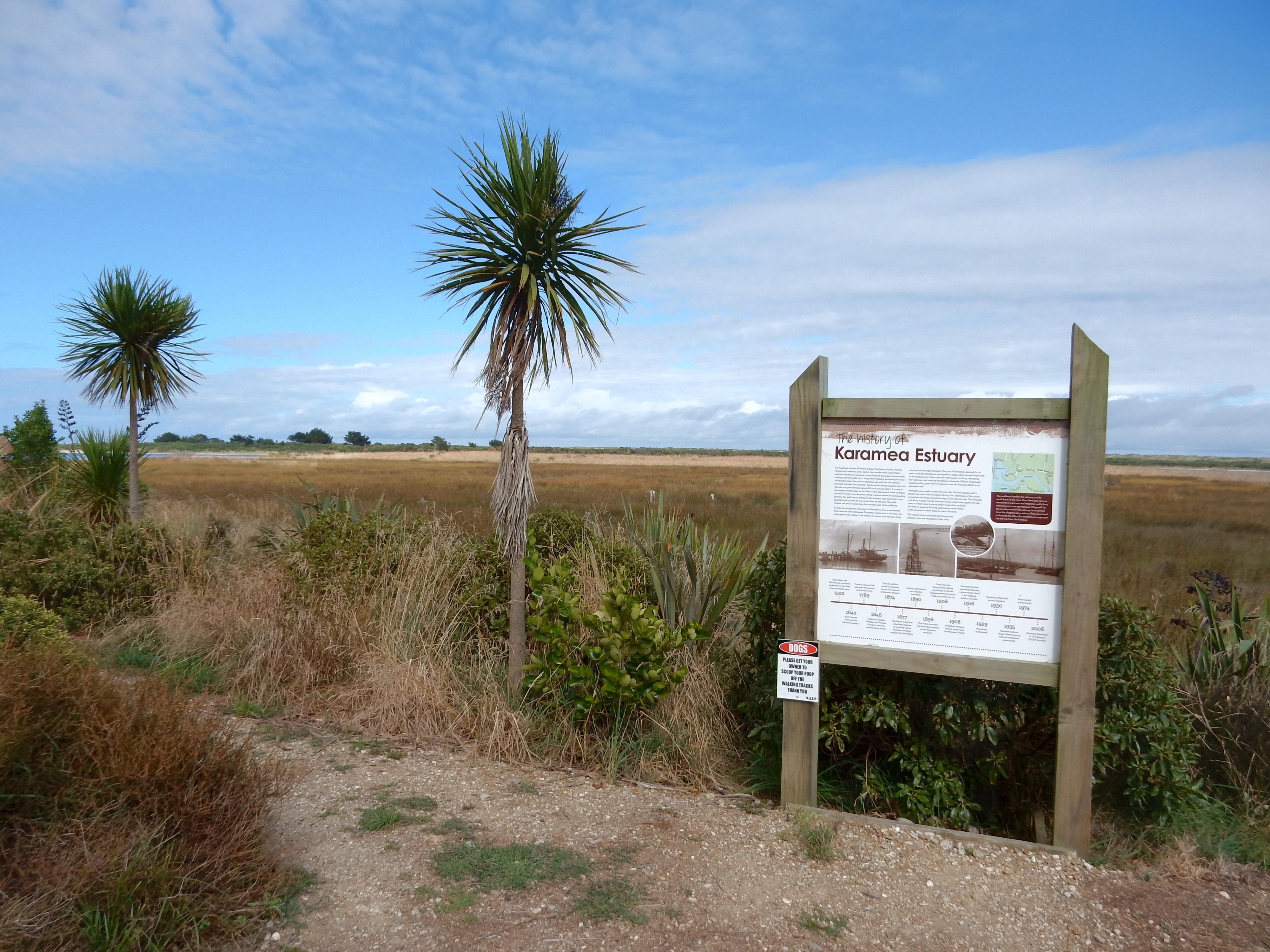
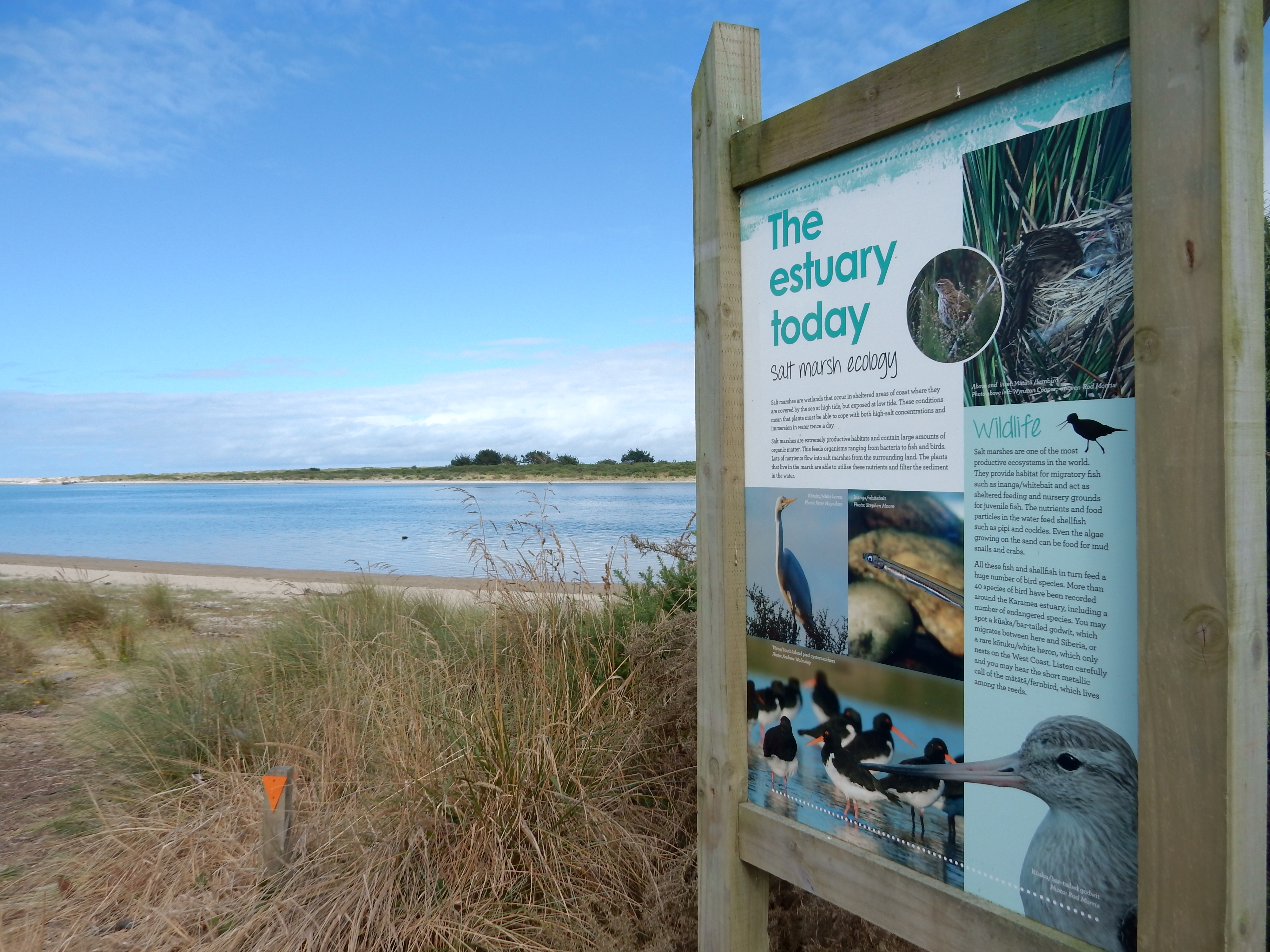
Pictures of estuary birds –


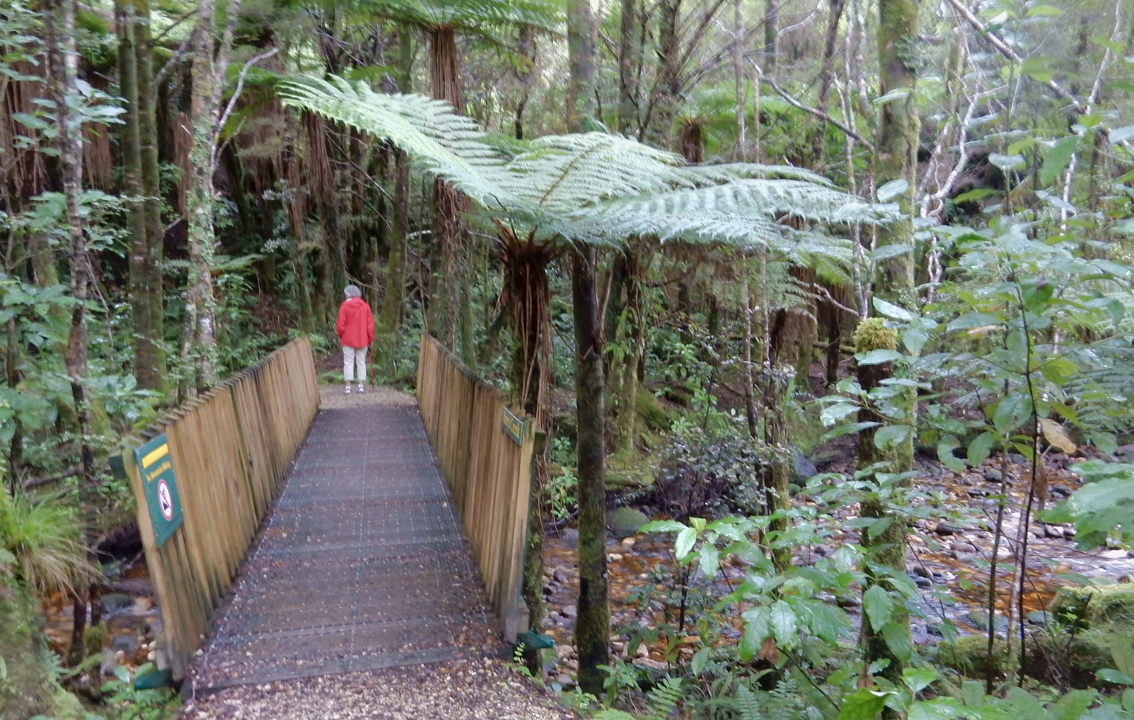
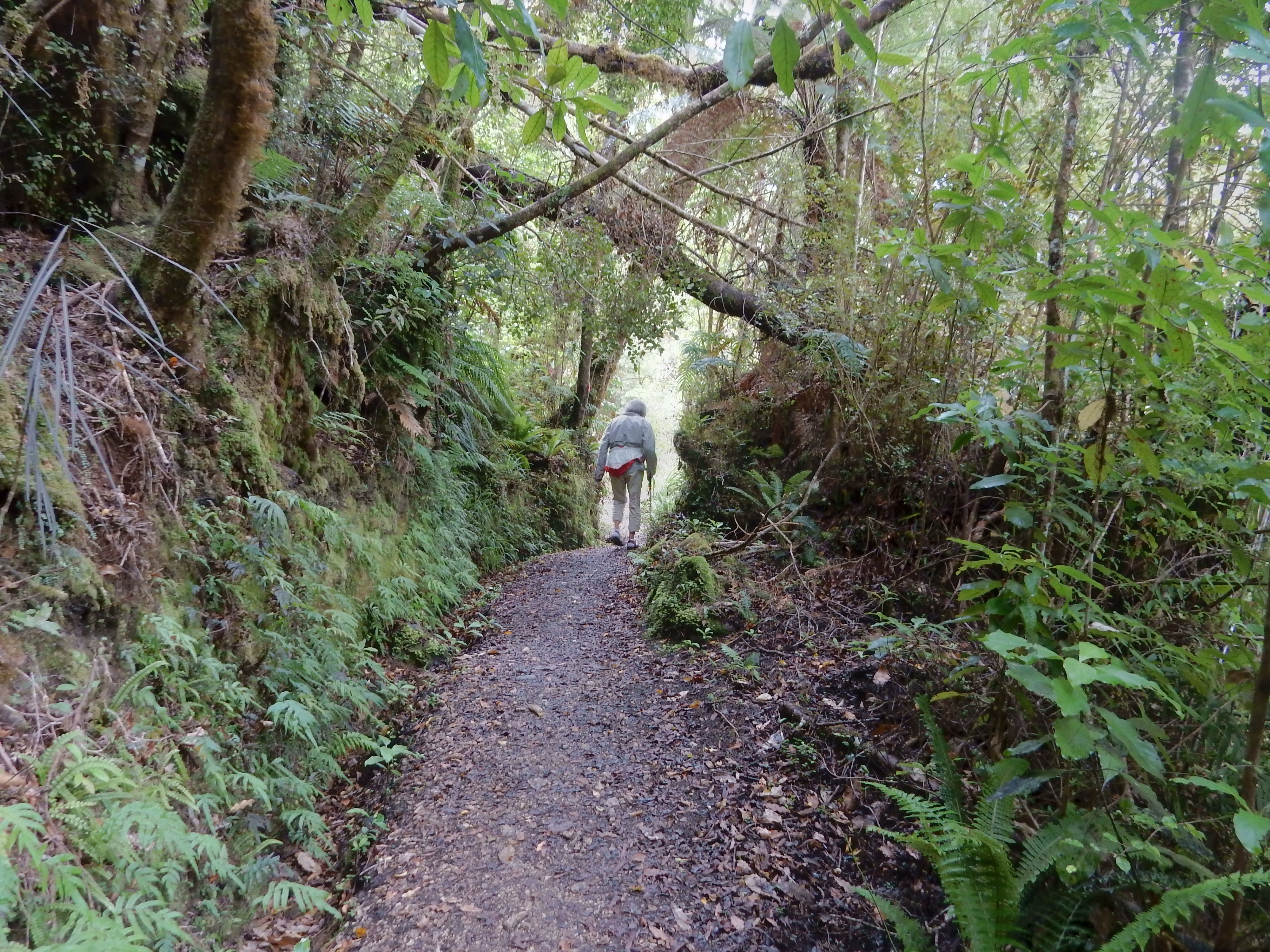
Drove 16km off of the Karamea – Kohaihai Highway (McCallums Mill Road) into the Oparara Basin on a rough gravel single lane road
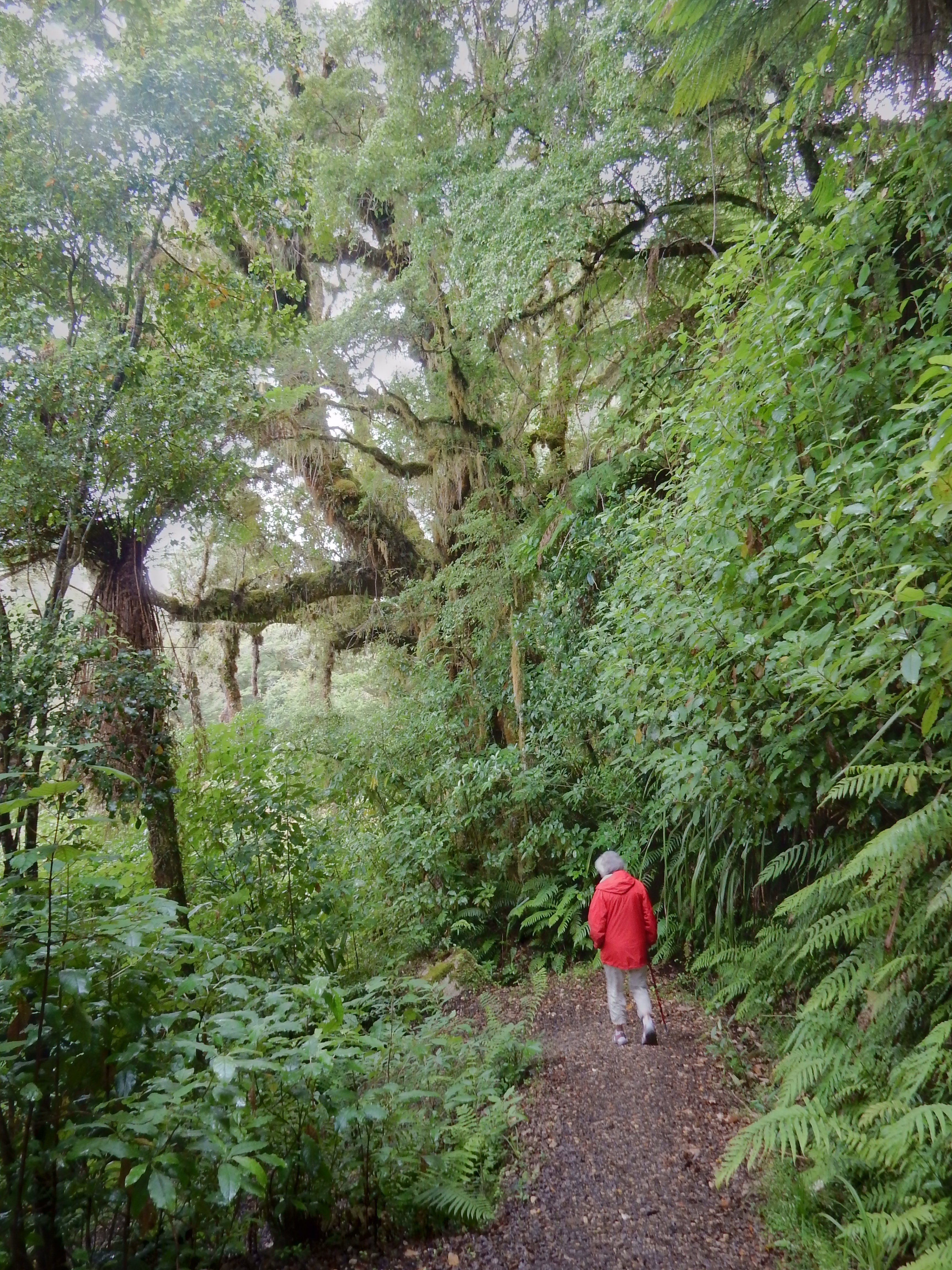
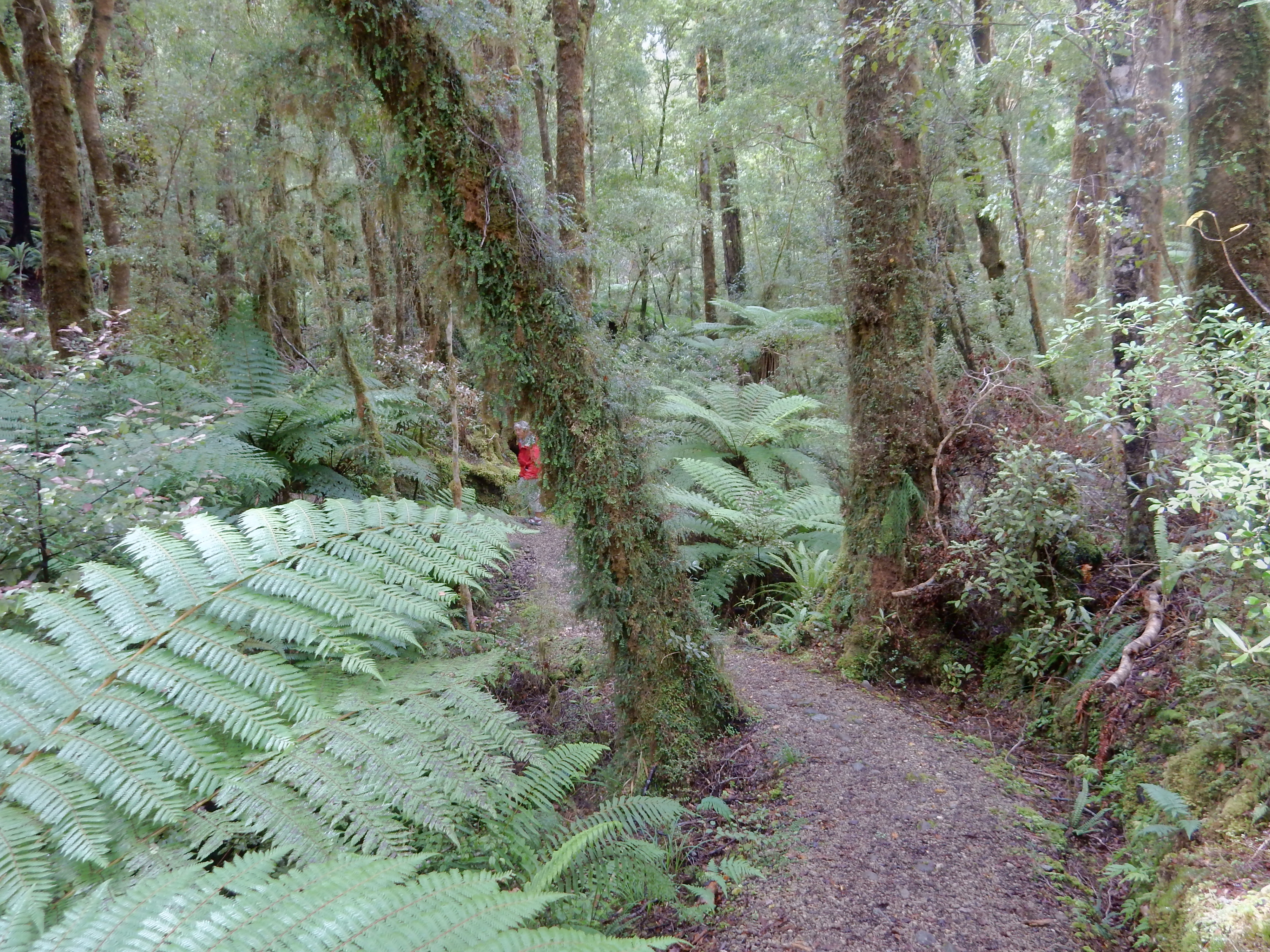
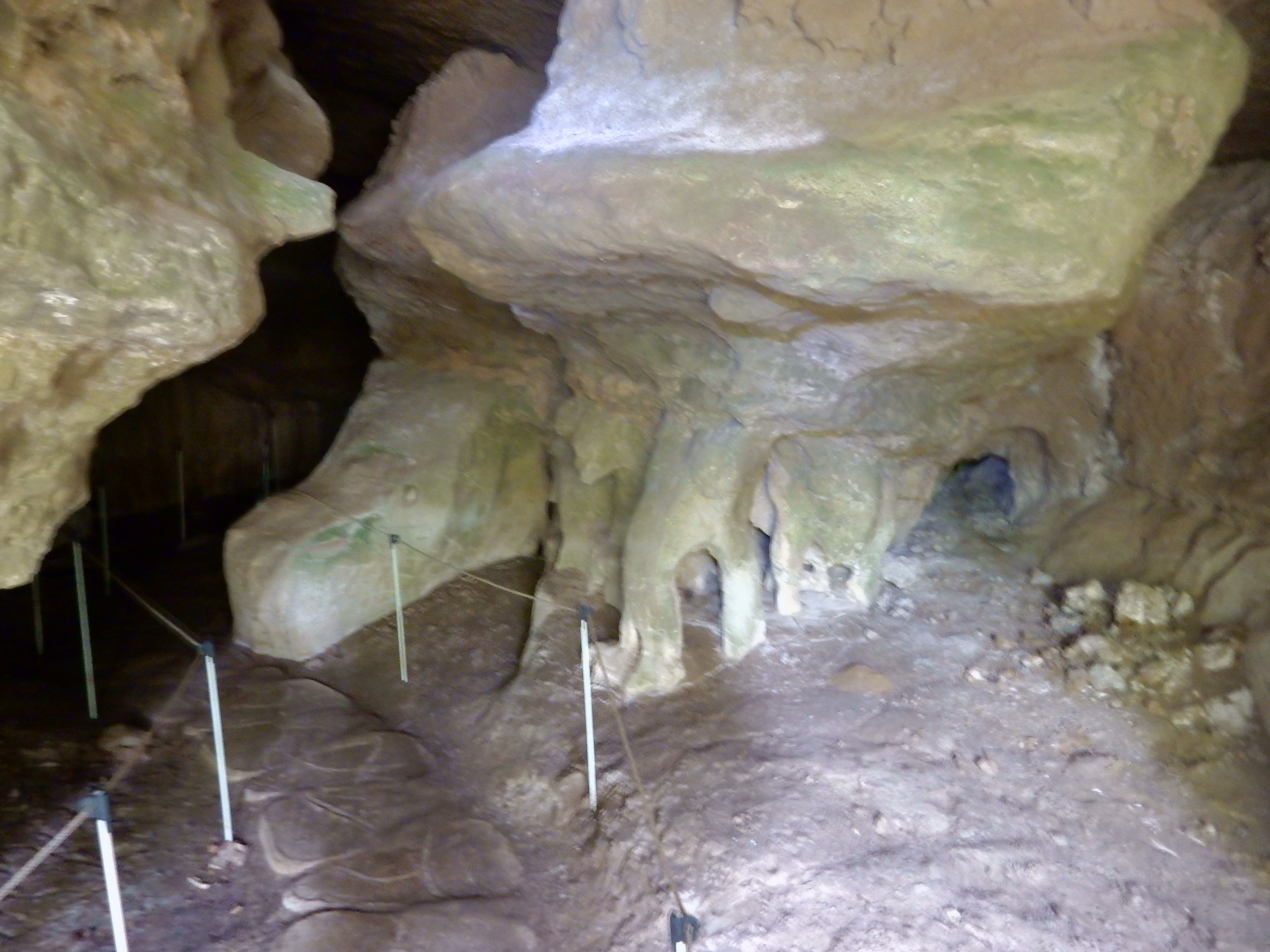
Our first hike was the 1.5 hr Moria Gate/Mirror Tarn Link Loop Track

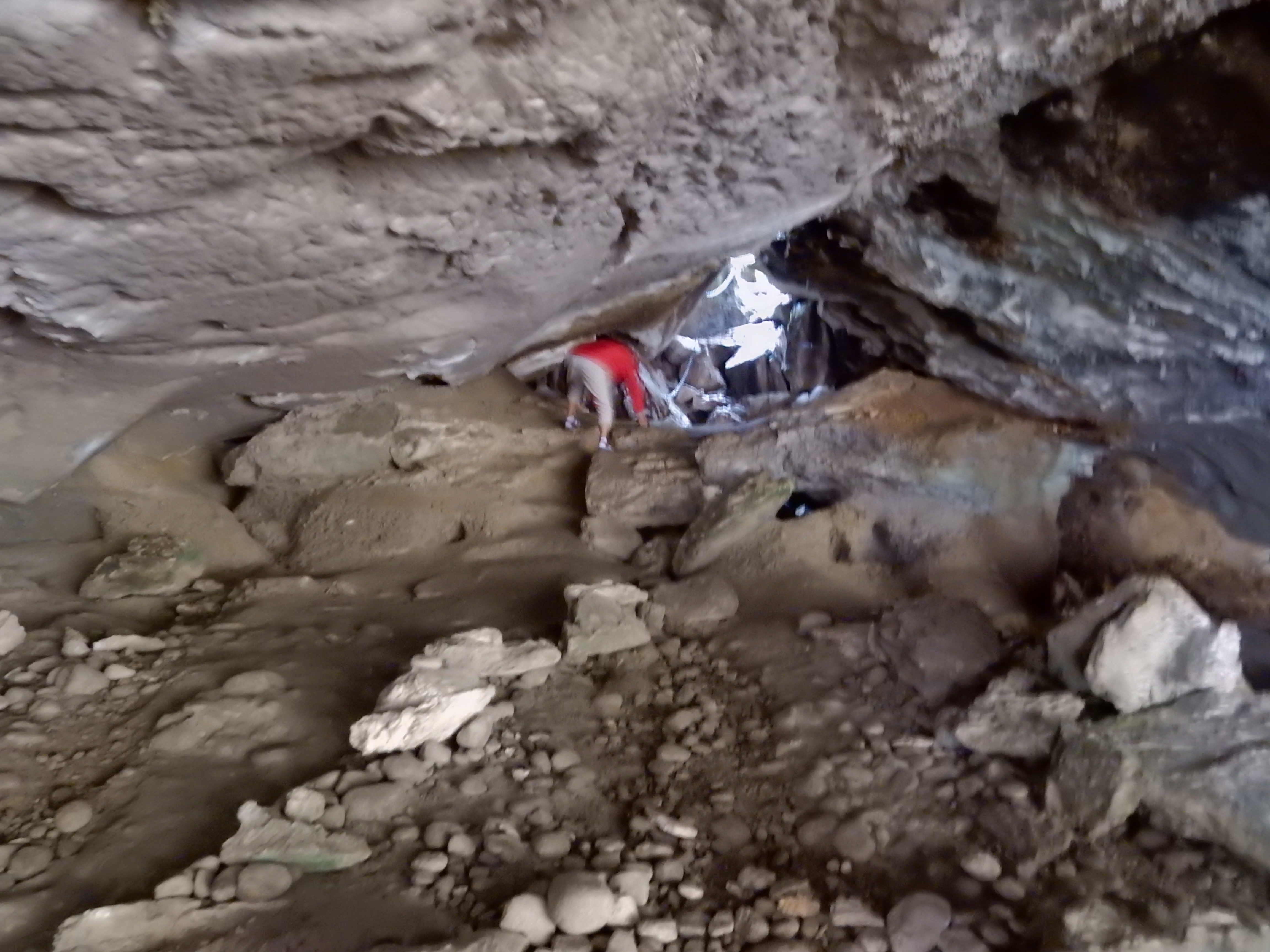
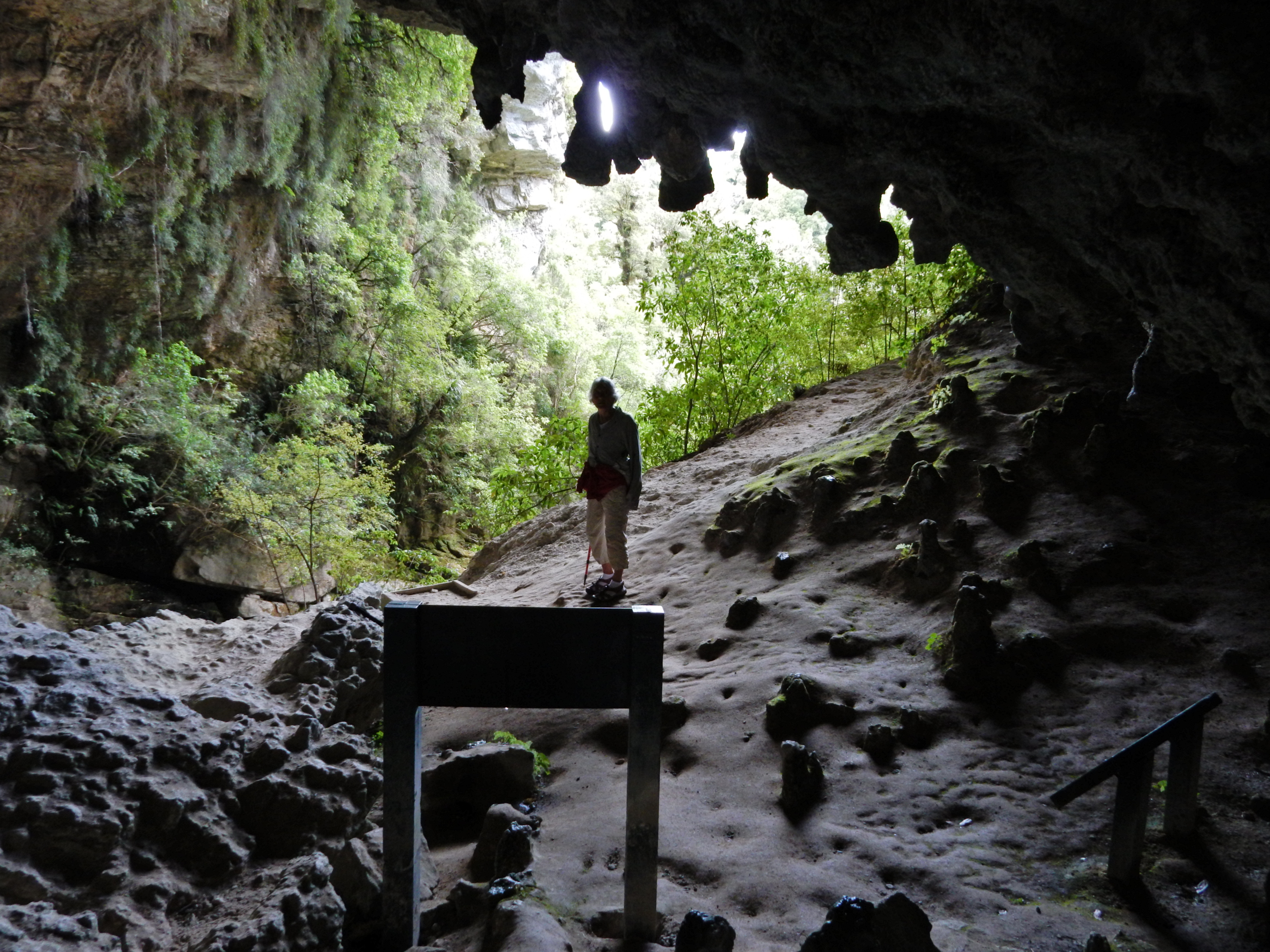
I found Moria Gate Arch especially interesting
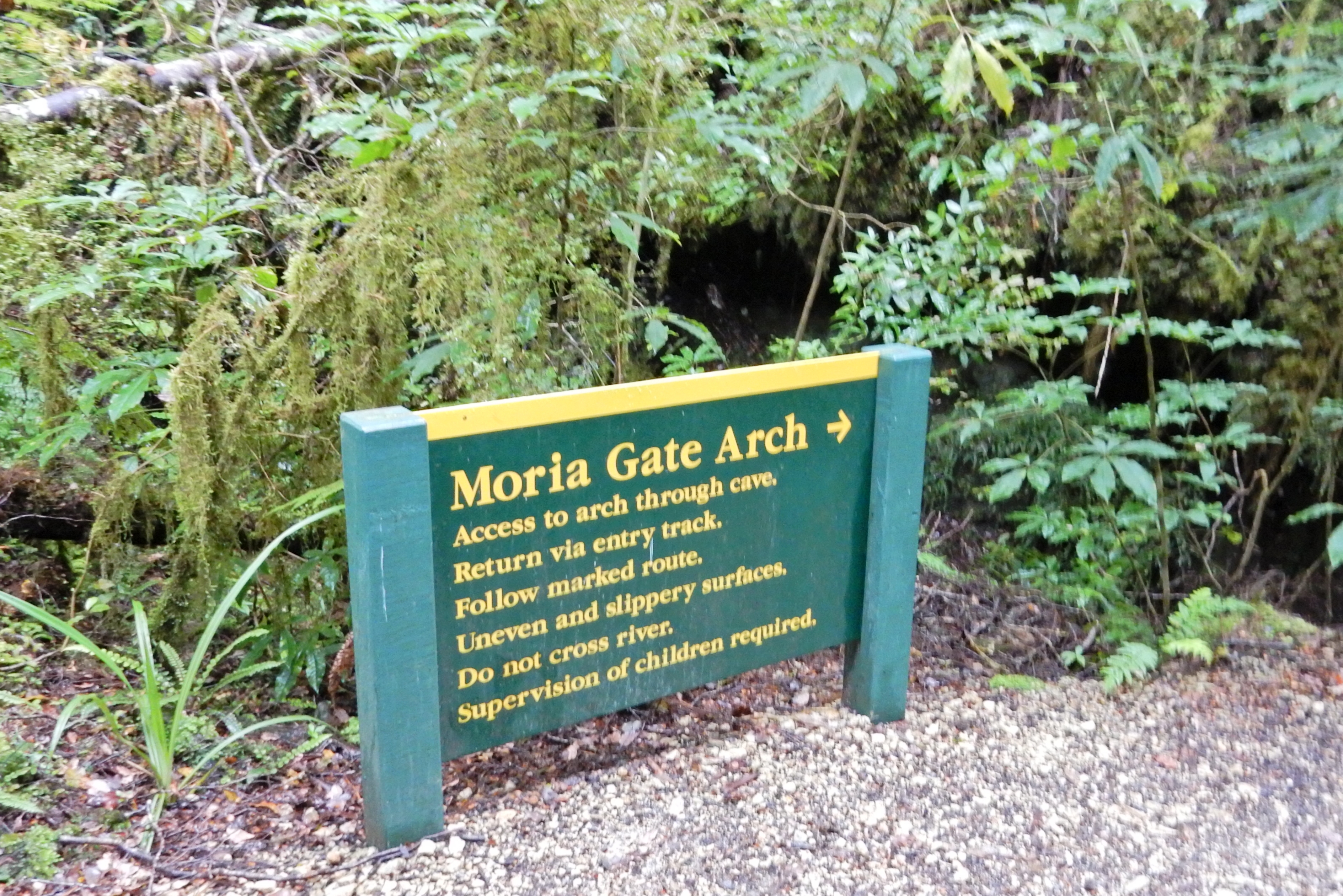
You climbed down under the Arch using your hands and a chain for support

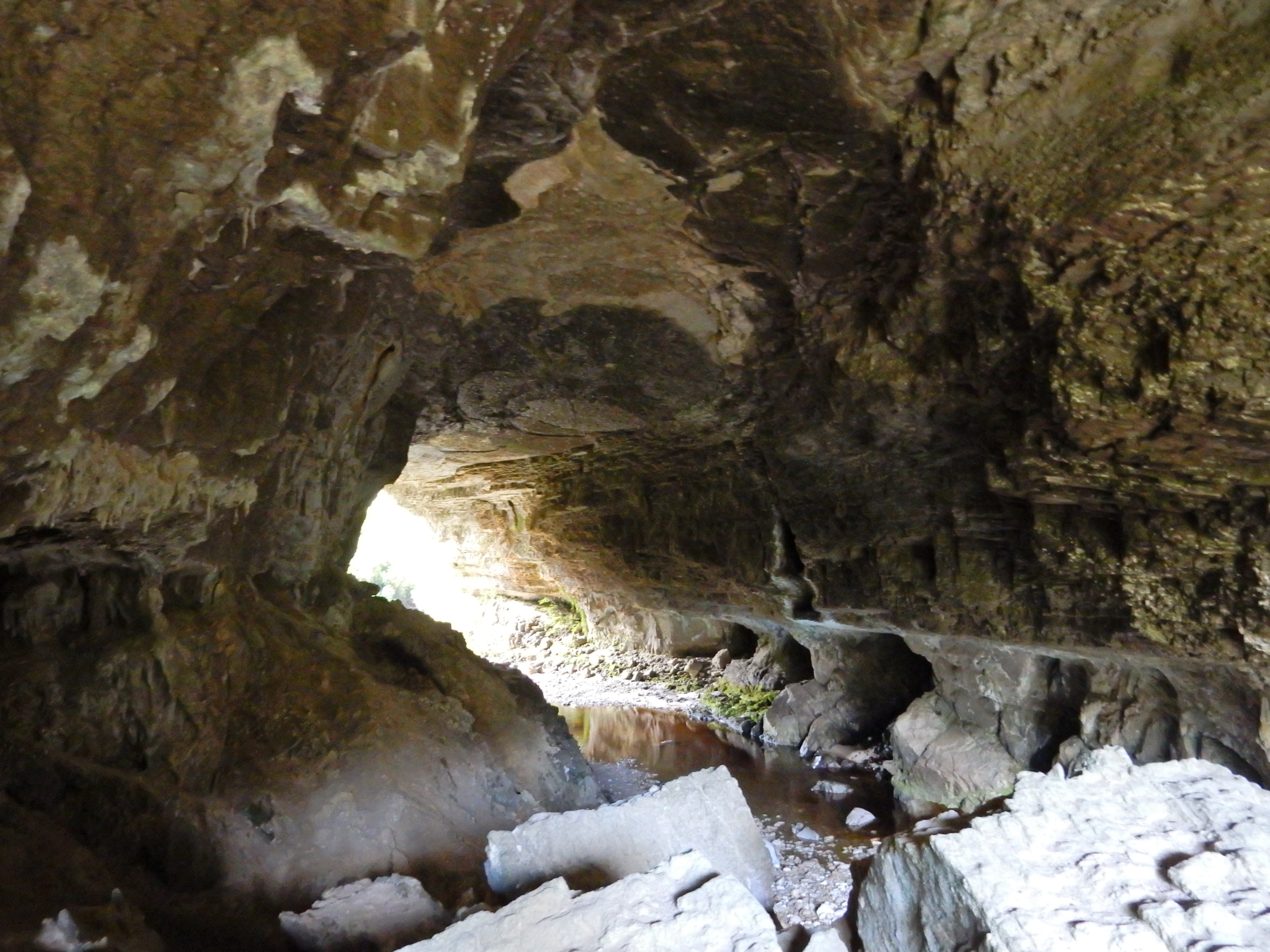
The view of the cave/stalactites/stalagmites/river was special. I had not seen this combination before

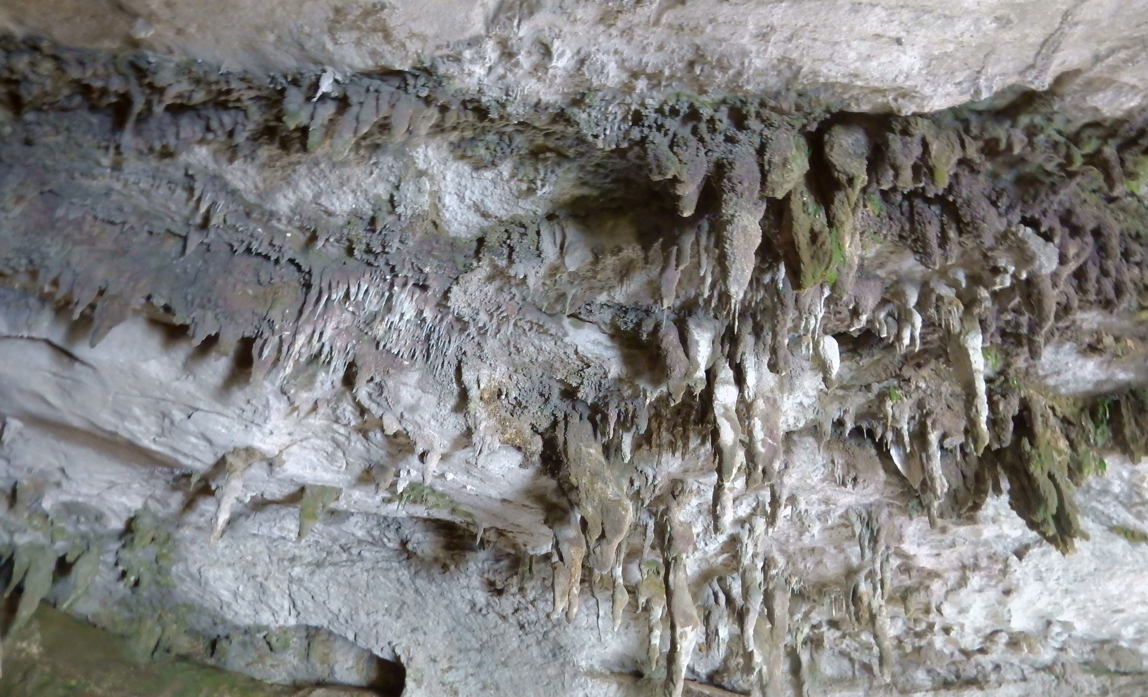
The Oparara River runs through the arch

Climb out
Mirror Tarn Track
Mirror Tarn

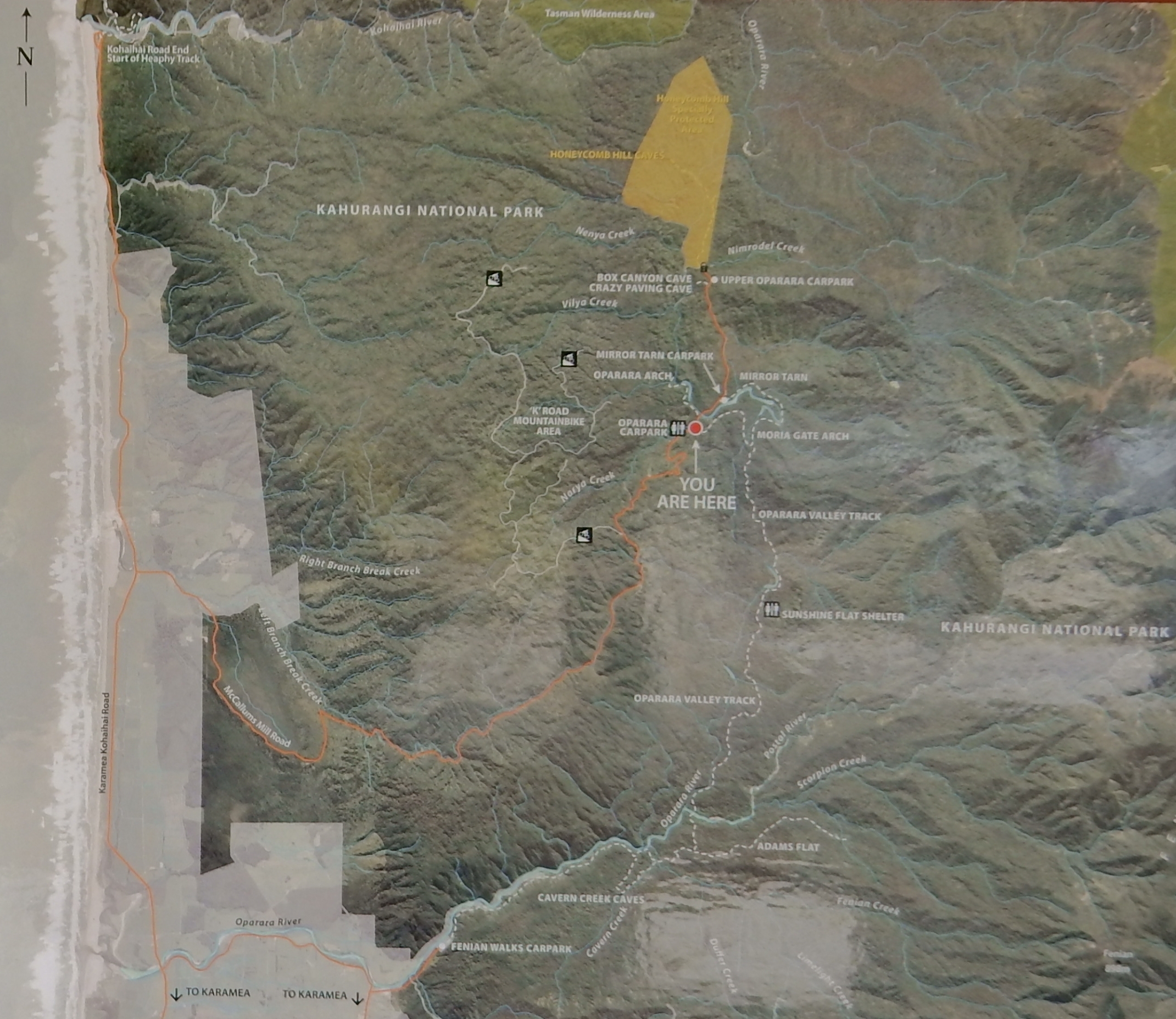
Ate our sandwich at the car and then did the Oparara Arch trail (50 min return). See You Are Here – Oparara Carpark
Start of hike

Nice spot –

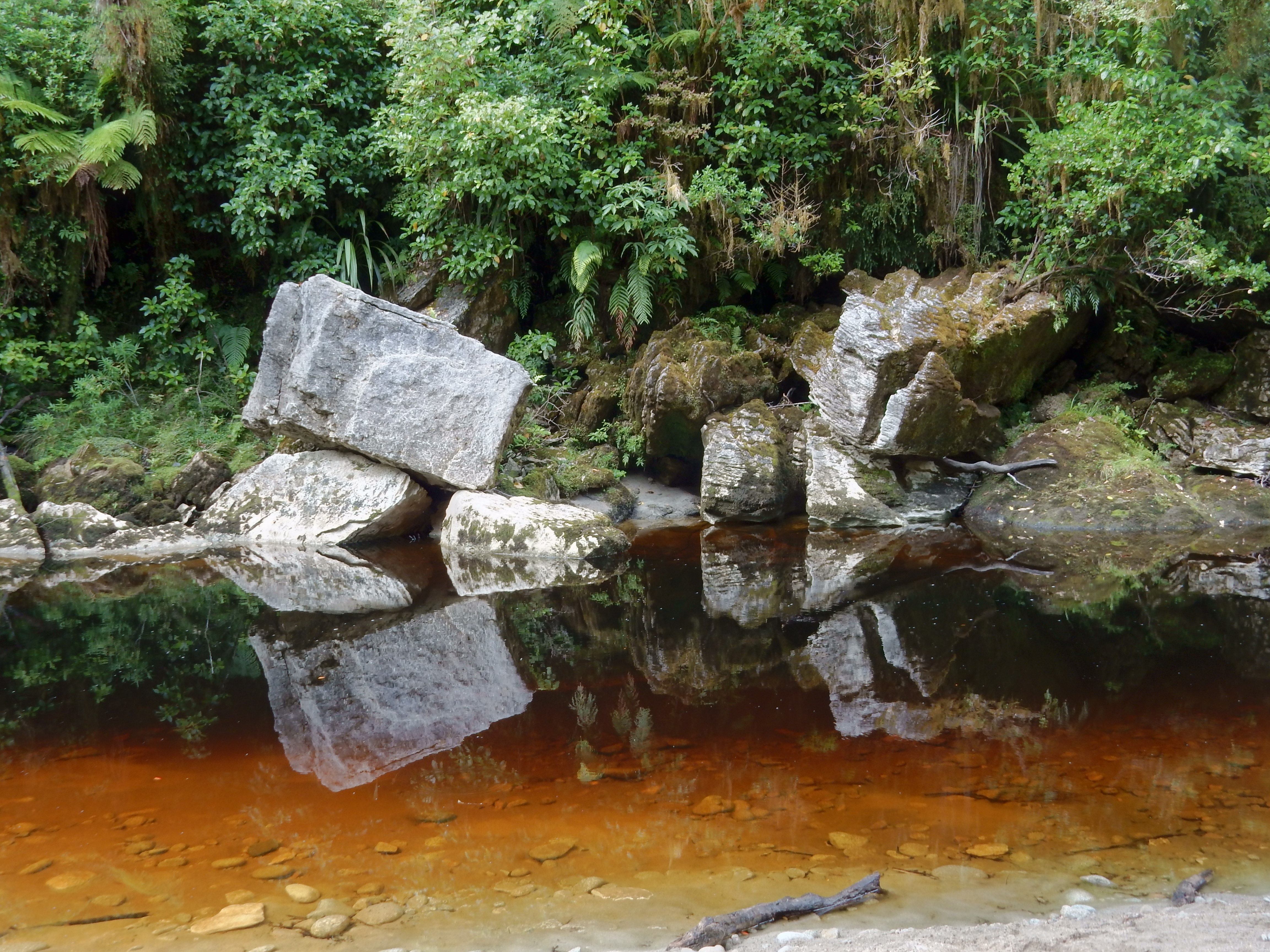
Reflection shot –
On the trail
Downriver side of Oparara Arch – An Arch is formed by a river, whereas a Bridge is formed by erosion, e.g. Rainbow Bridge on Lake Powell in Utah.

Entrance

656 ft long, 157 ft high and 121 ft wide
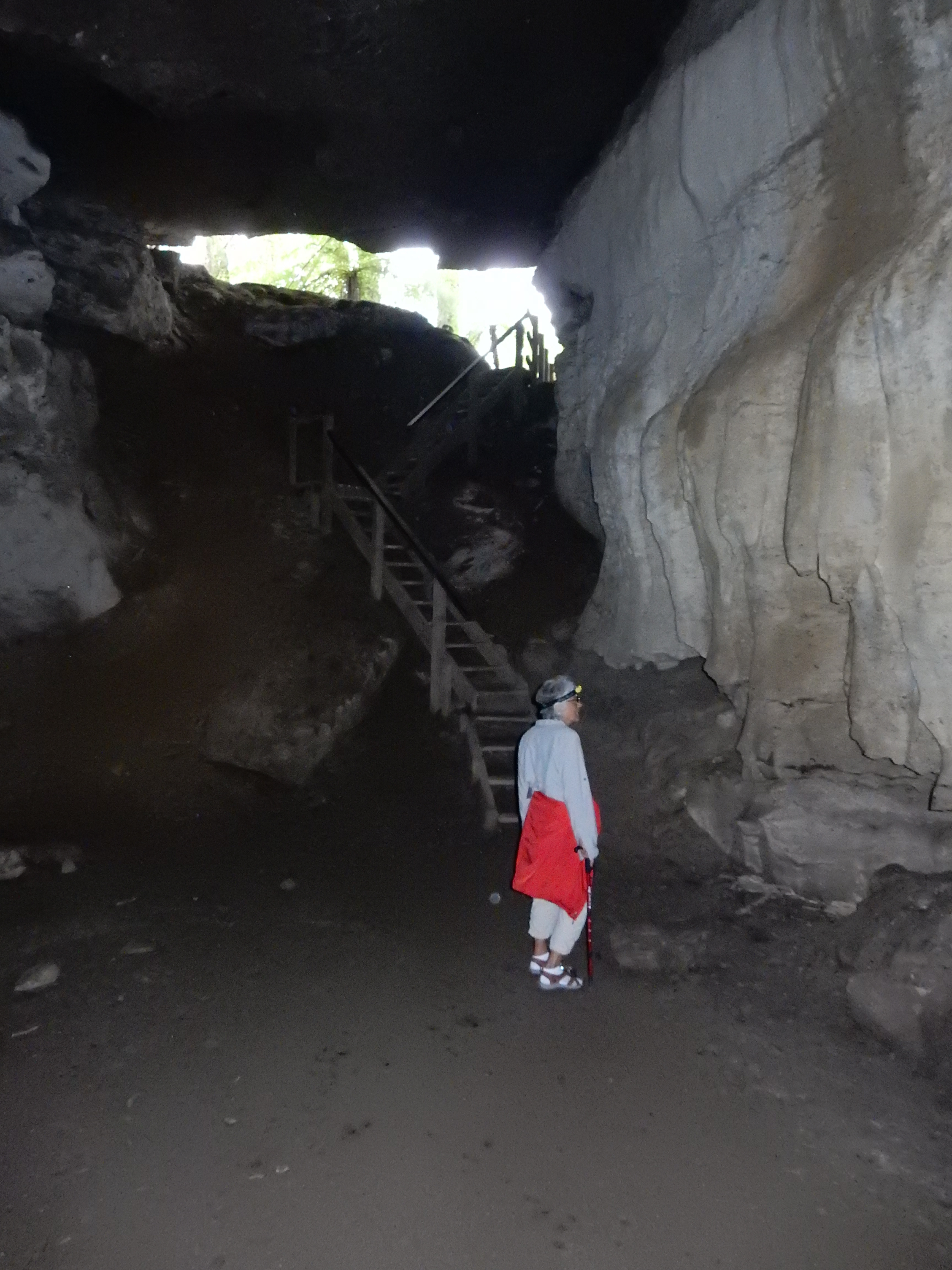
There were also two other caves at the end of the gravel road that we explored with our head lamps.

The first and largest of the two was Box Canyon Cave.

Helen liked this one best as you could walk some distance inside to see the formations, glowing water droplets and even glow worms on the ceiling


Leaving the cave
The second cave was much smaller

It was named Crazy Paving Cave for obvious reasons
Drove those bumpy miles back to the Karamea – Kohaihai Highway and then drove to its northern terminus in Kohaihai. Helen stayed in the car to stitch as I did the short Zig-Zag Track –this view is from the top

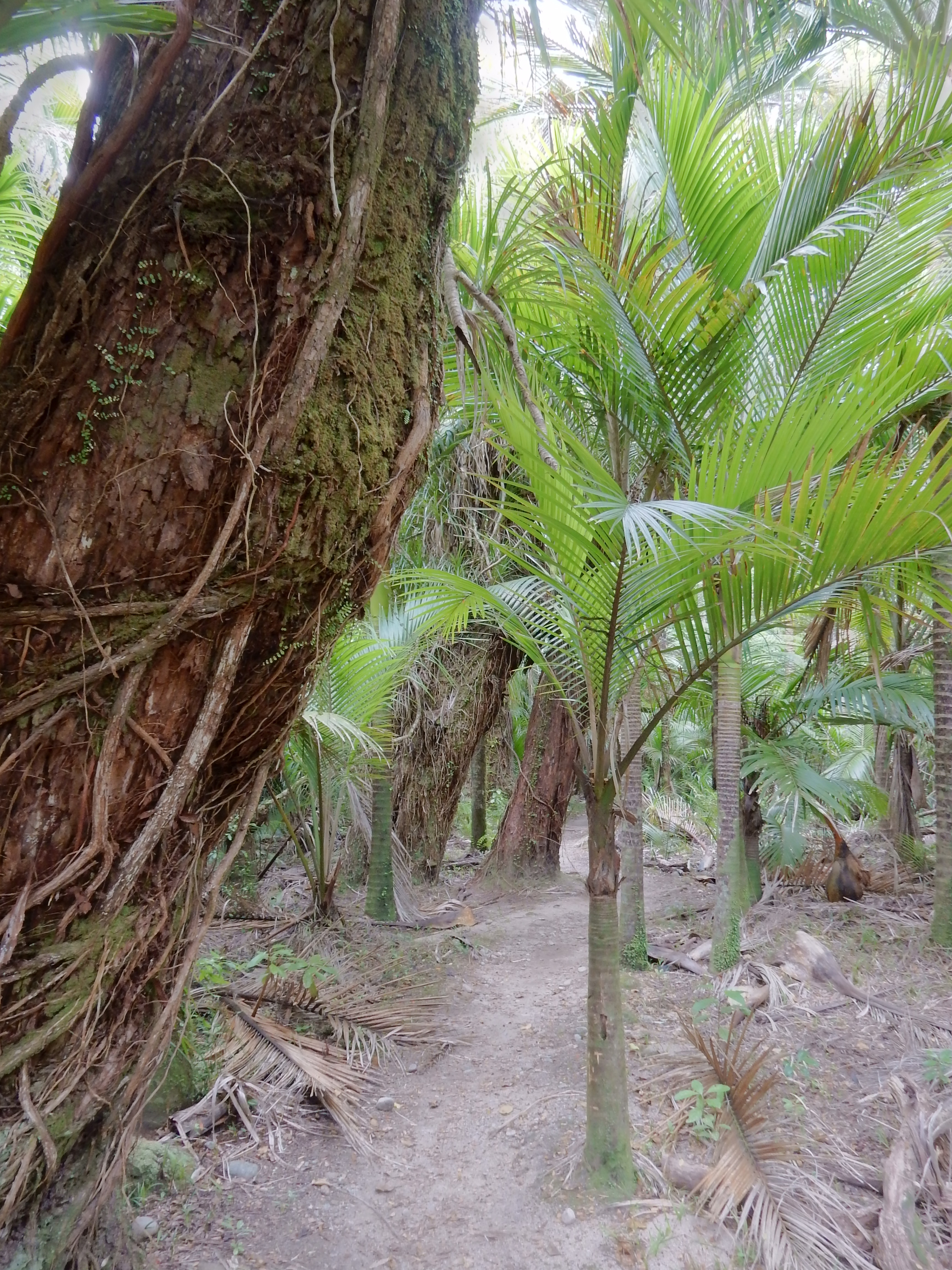
I then did the Nikau Walk, which started by crossing a suspension bridge

The suspension bridge crosses the Kohaihai River
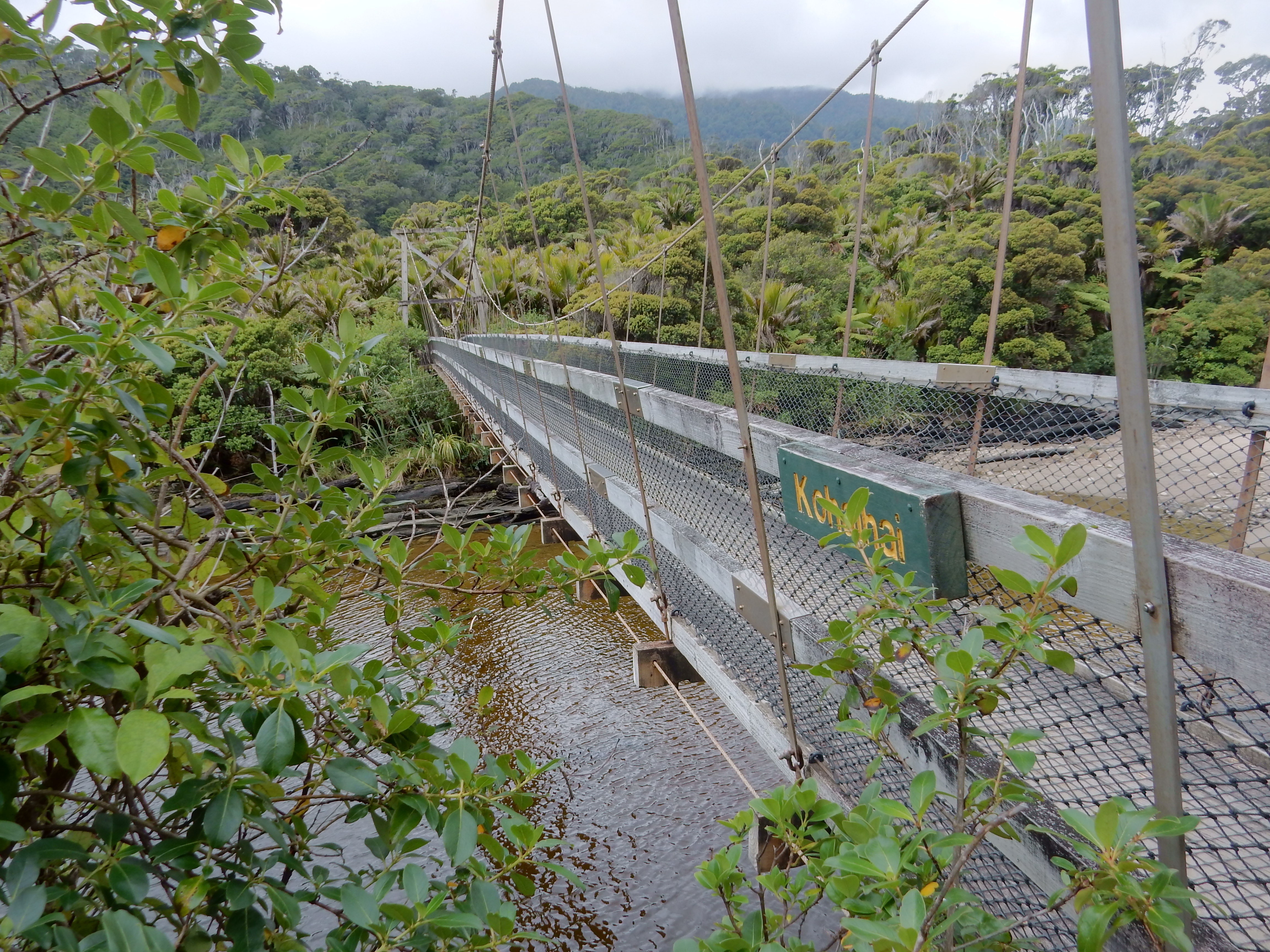
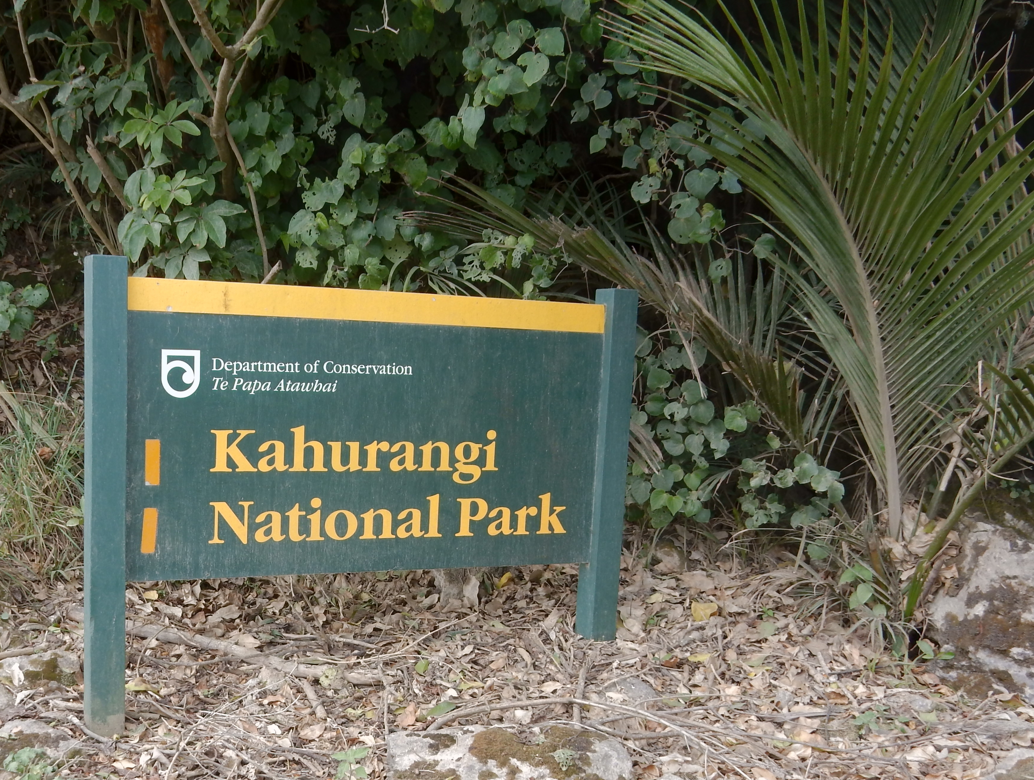
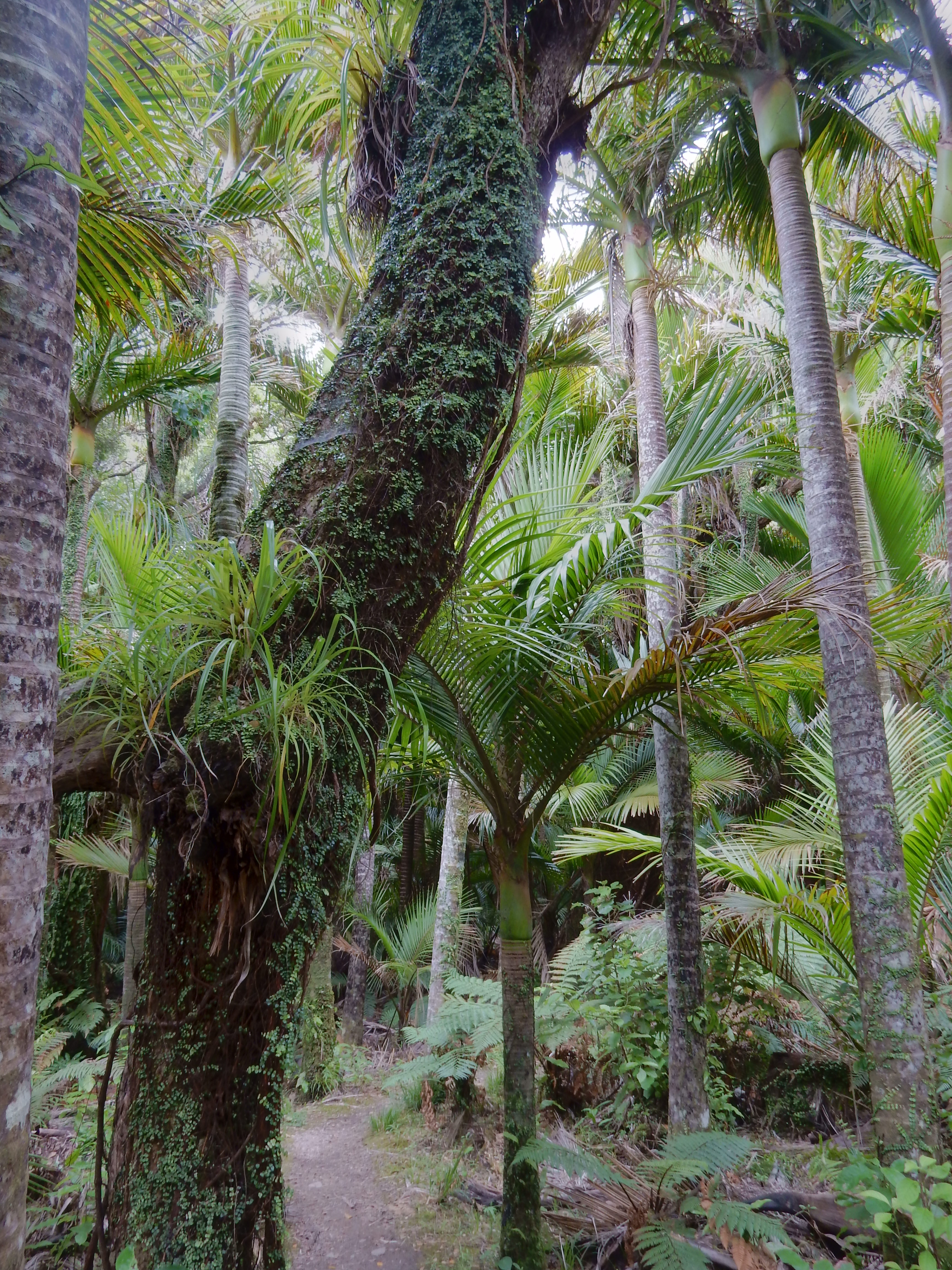
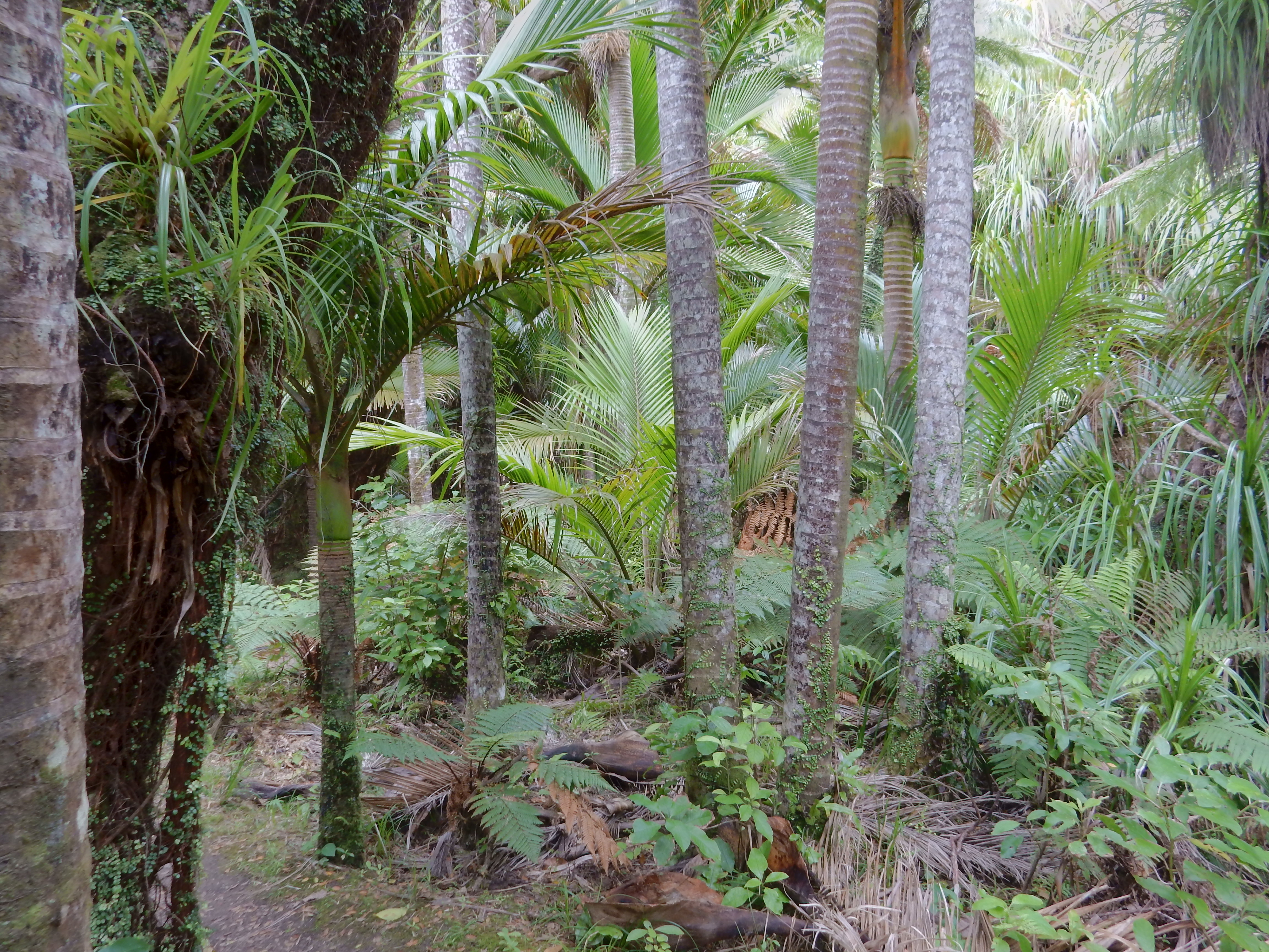
The walk was in Kahurangi National Park

It had more palm trees than any other walk we had been on
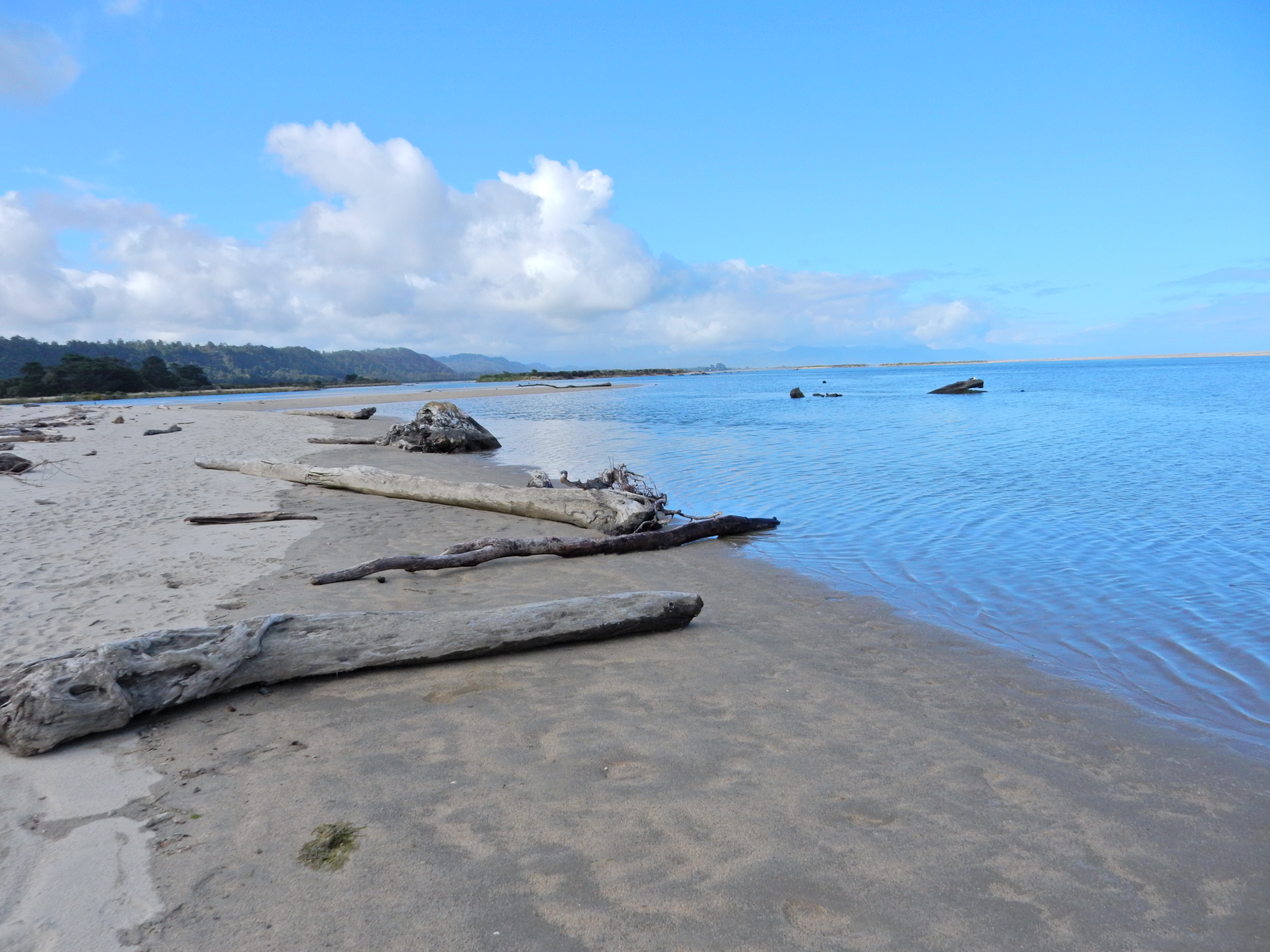
Beach view of Kohaihai River (right) entering the Tasman Sea

It was a long two hour drive back to Westport. We decided to return to the Seal Colony Overlook and then returned to the Star Tavern for another fish dinner.
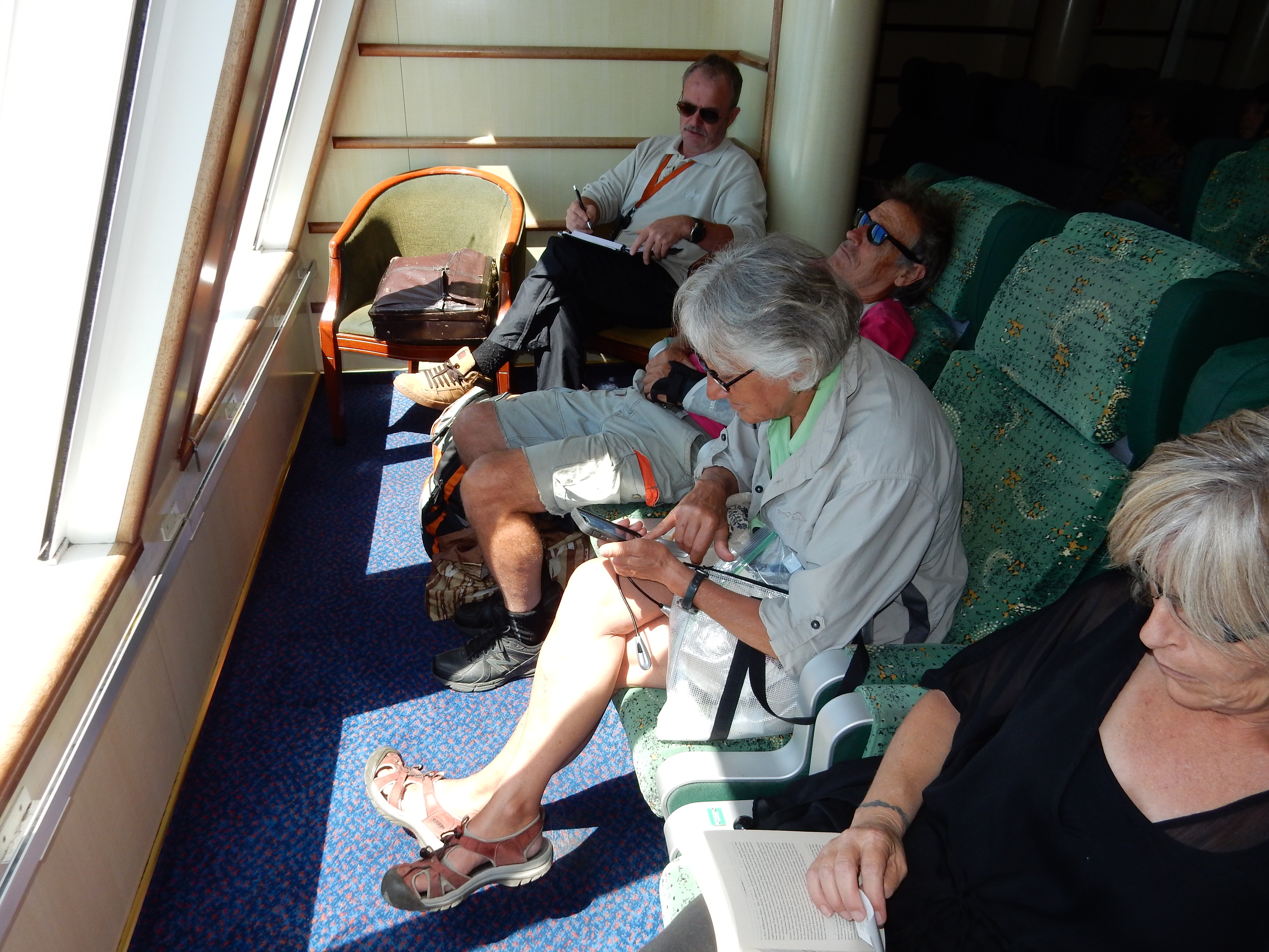
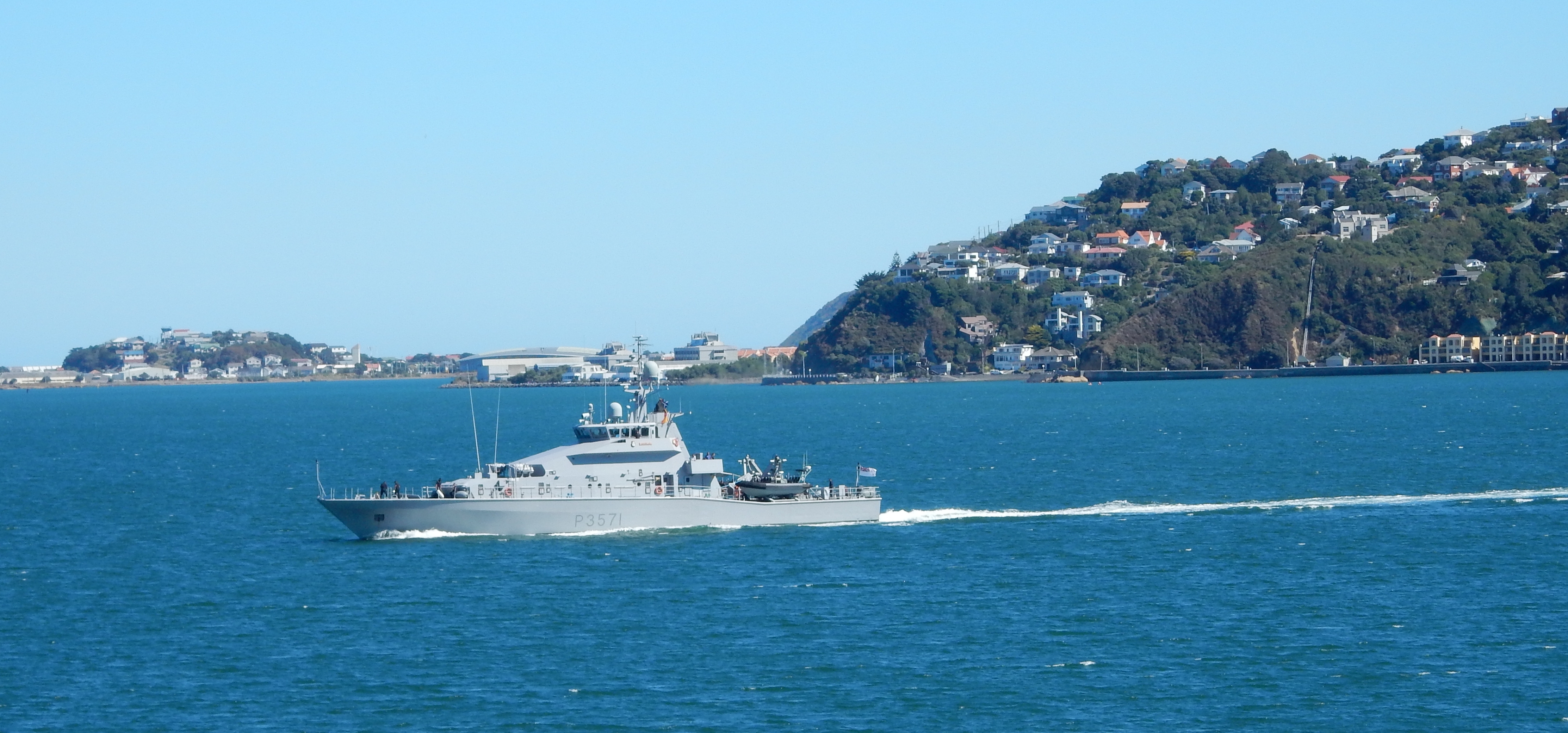
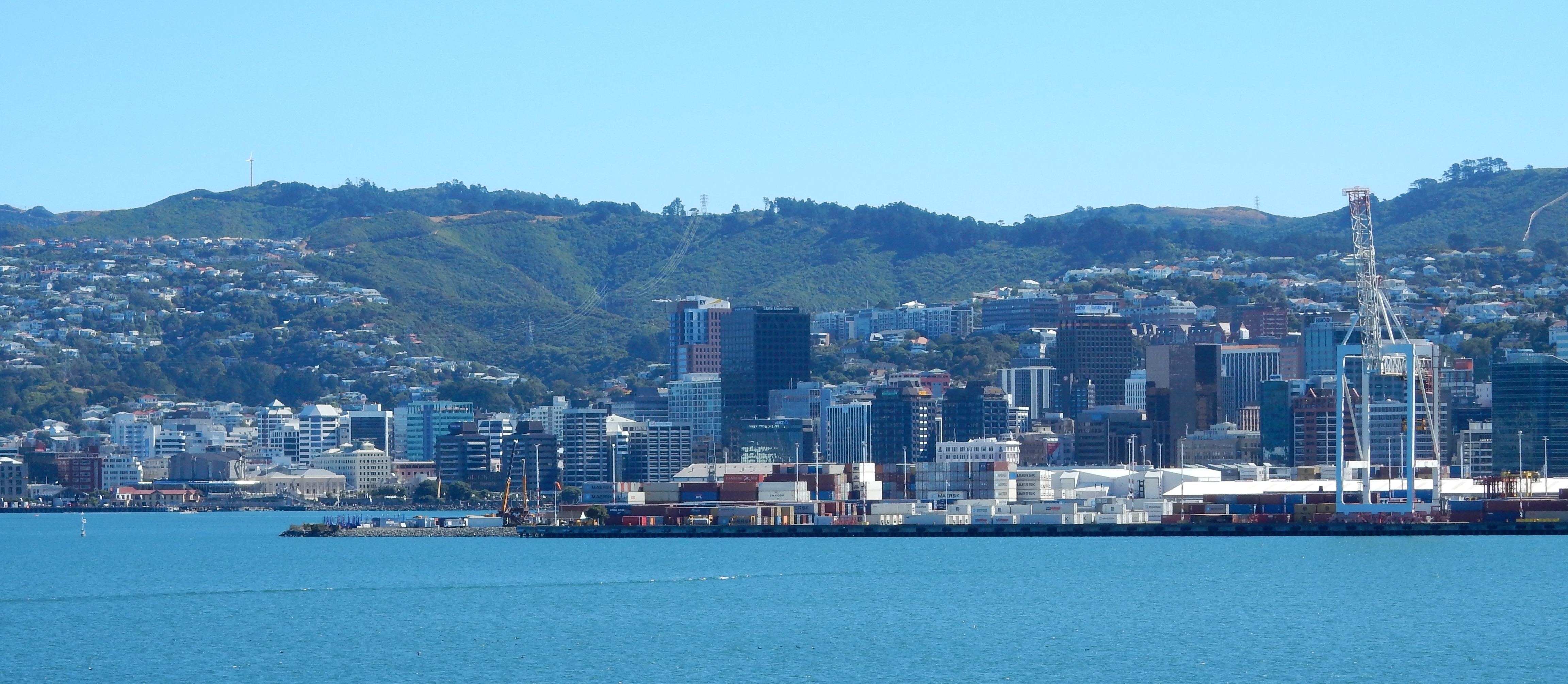
2/17 – Not much exciting today, though the scenery is always interesting – drove from Westport to Picton (3.5 hrs) and took the Interislander Ferry (Kaitaki) across Cook Straight to the North Island (3.5 hrs).
Kaitaki means “Challenger” in Maori and she is the largest ferry in New Zealand with room for 1600 passengers.
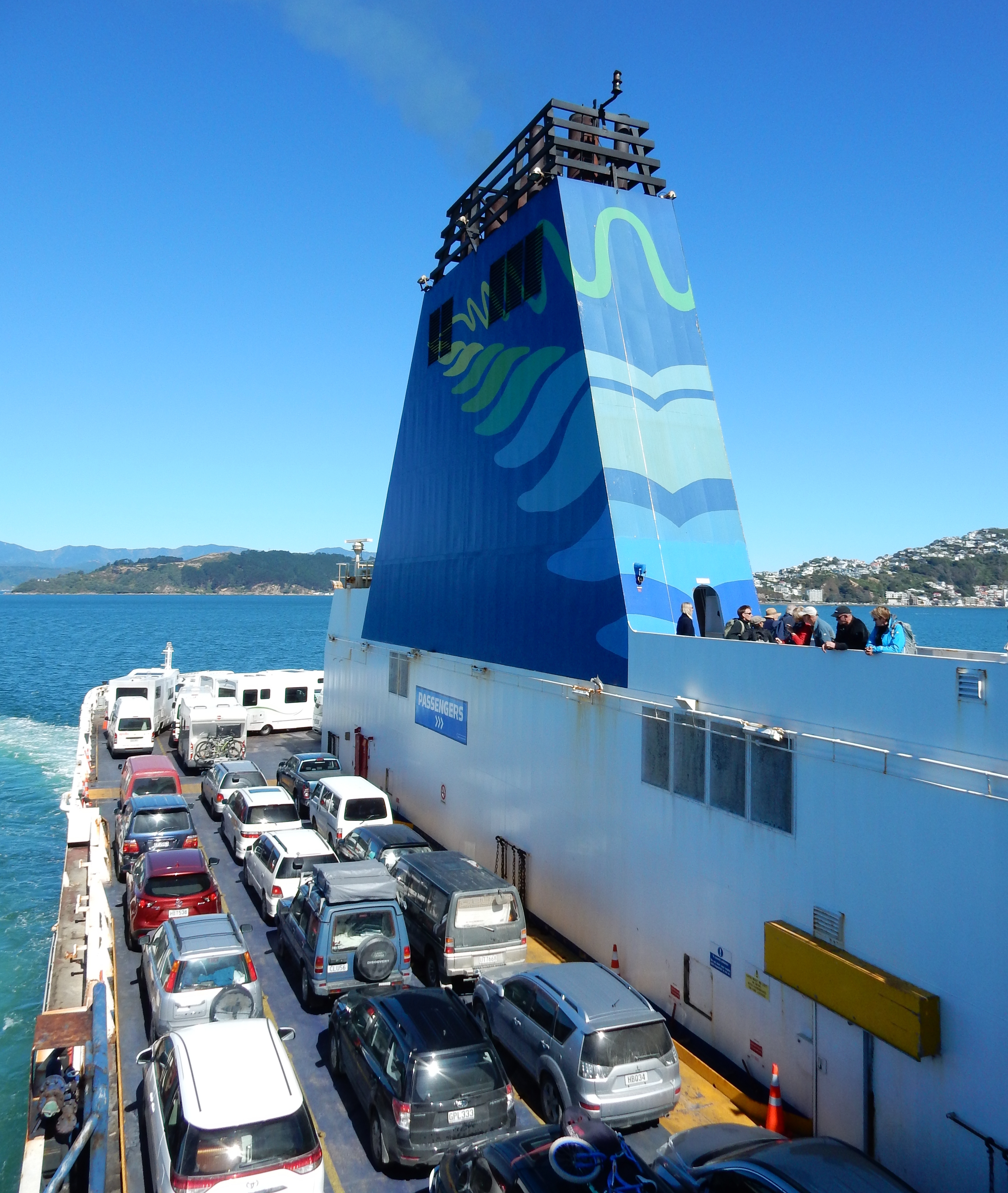
Entering Wellington Harbor
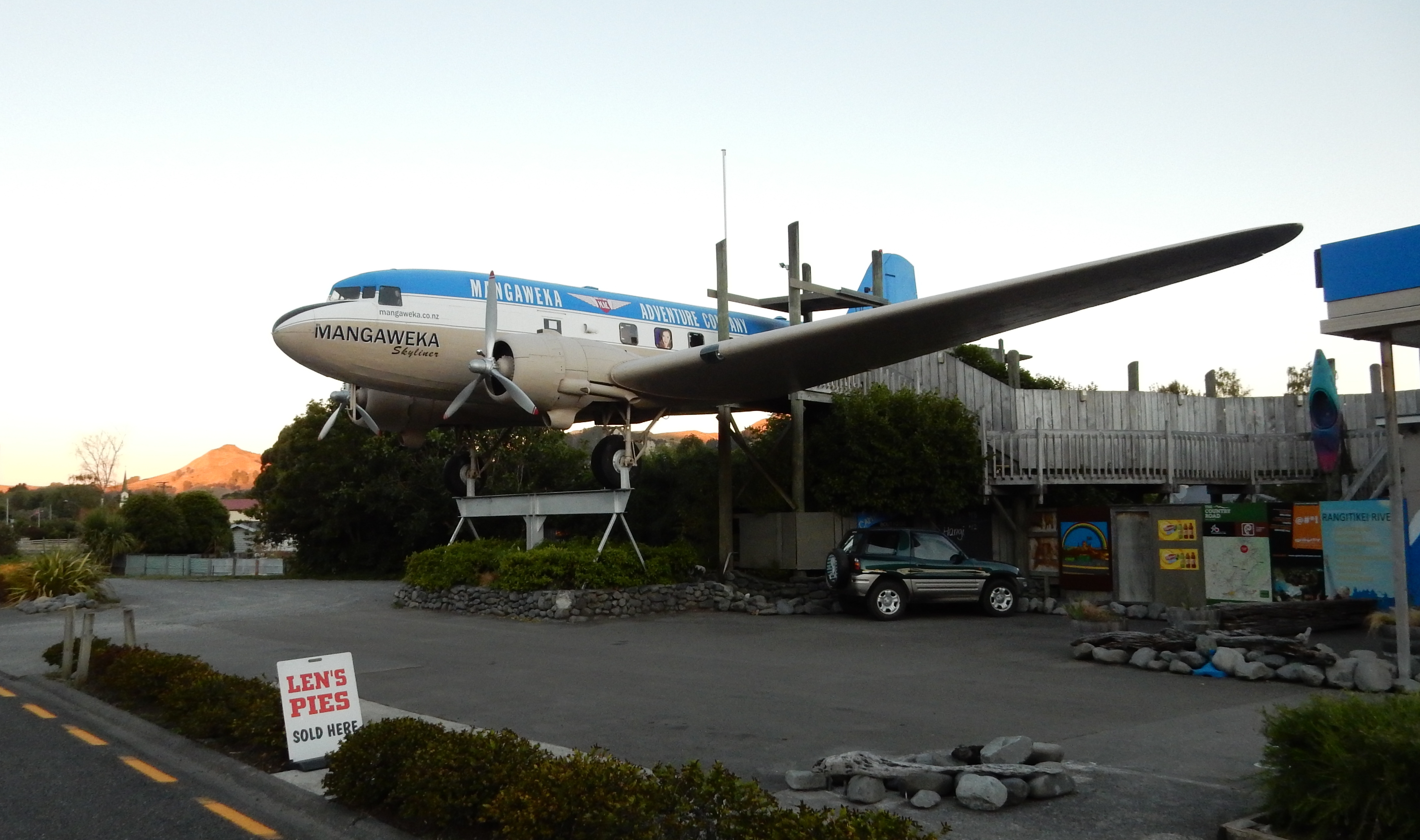
Drove north through Mangaweka – Old DC-3 for the tourists. Different kinds of “Pies” are eaten for every meal.
It took 3.5 hrs to get to the Taihape Motel from the ferry. Sent a Happy Birthday text to Hattie!
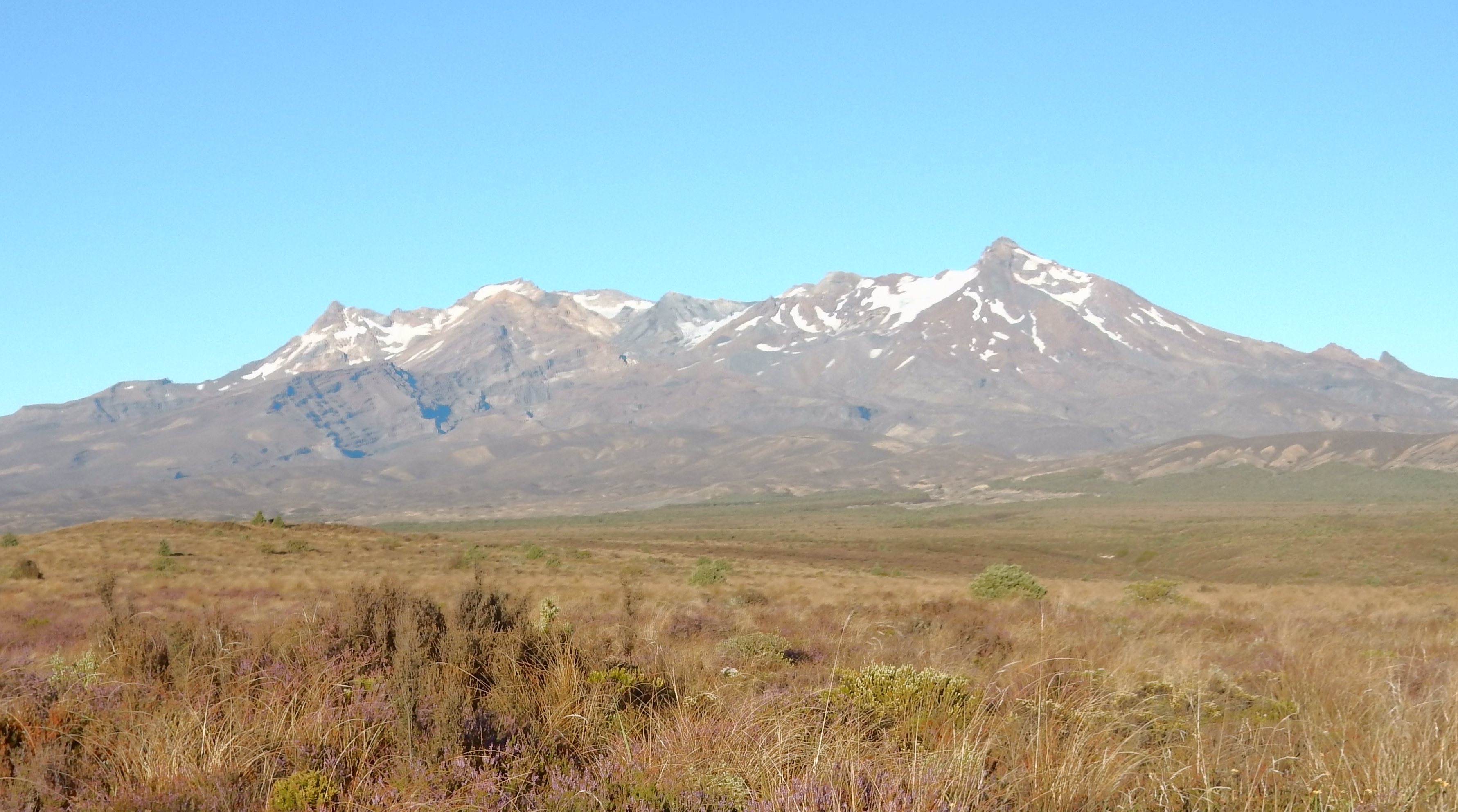
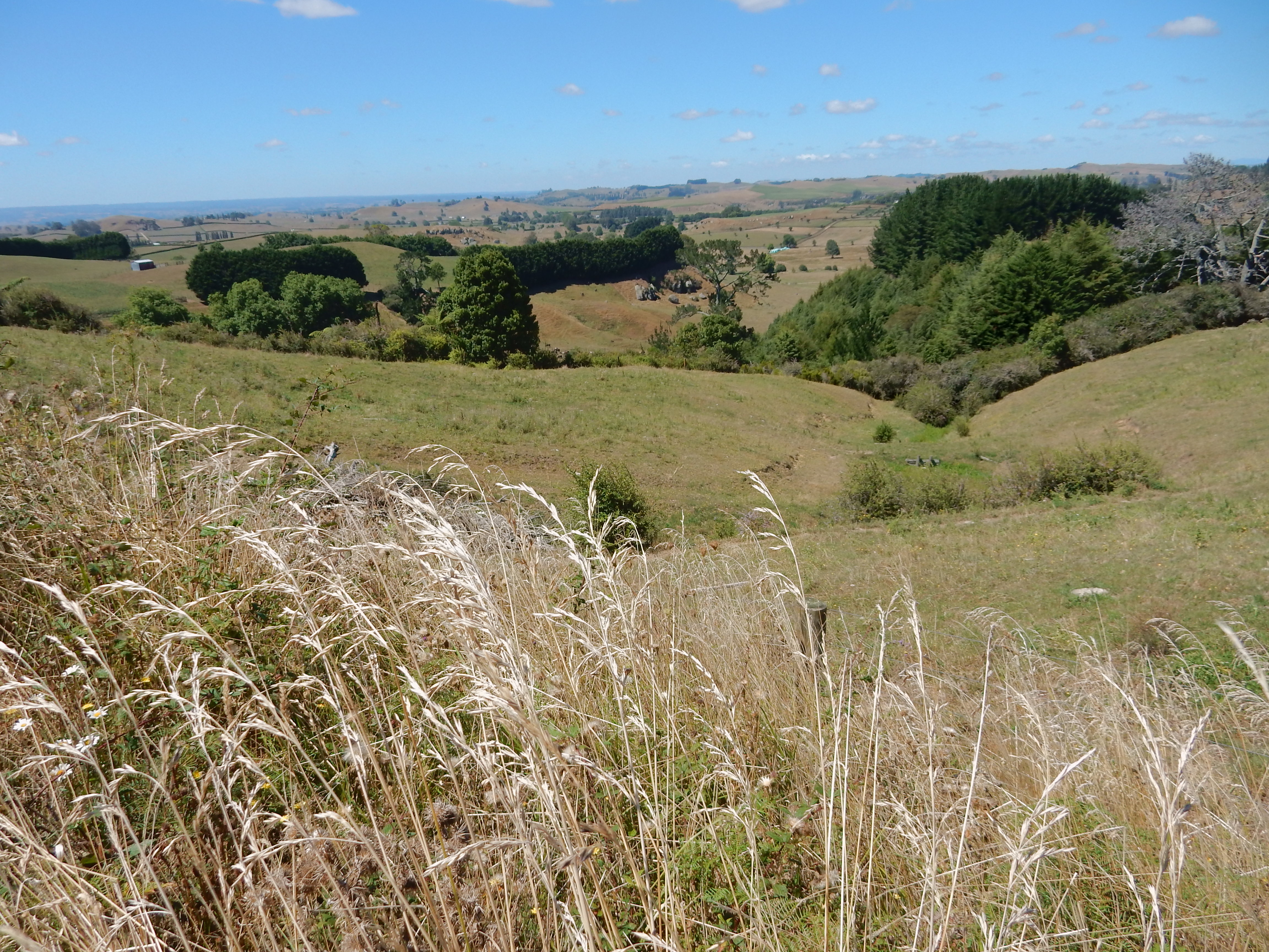
2/18 – Had a simple breakfast at 6:30 in Taihape at the Crystal Bar and started driving toward Rotorua. This time we got to see Mt Ruapehu (left – 9,177 ft) and Mt Ngauruhoe (right) in Tongariro NP from the east.

Mt Ngauruhoe – 7,516 ft is actually the south peak of Mt Tongariro
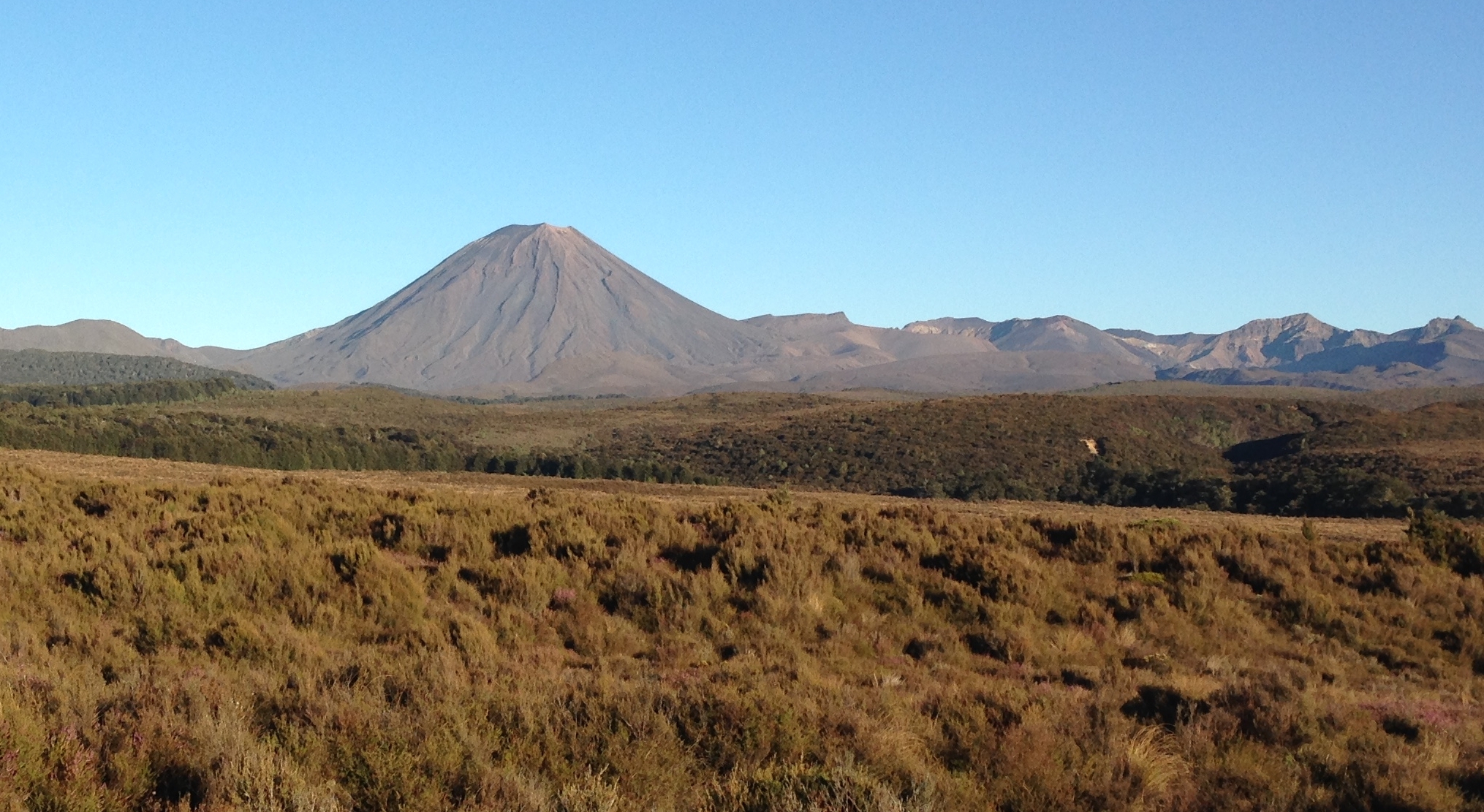
Mt Tongariro – 6,454 ft
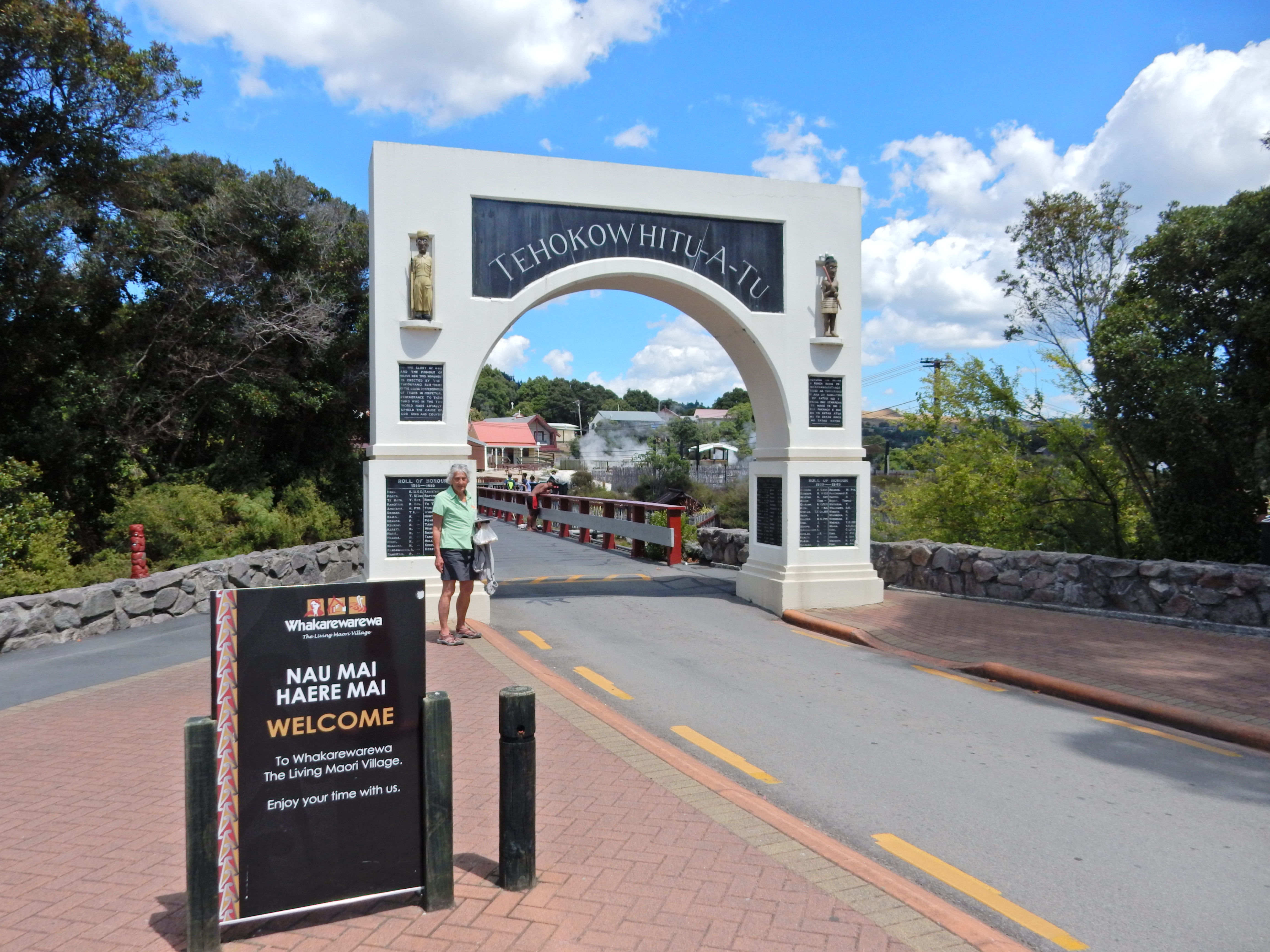
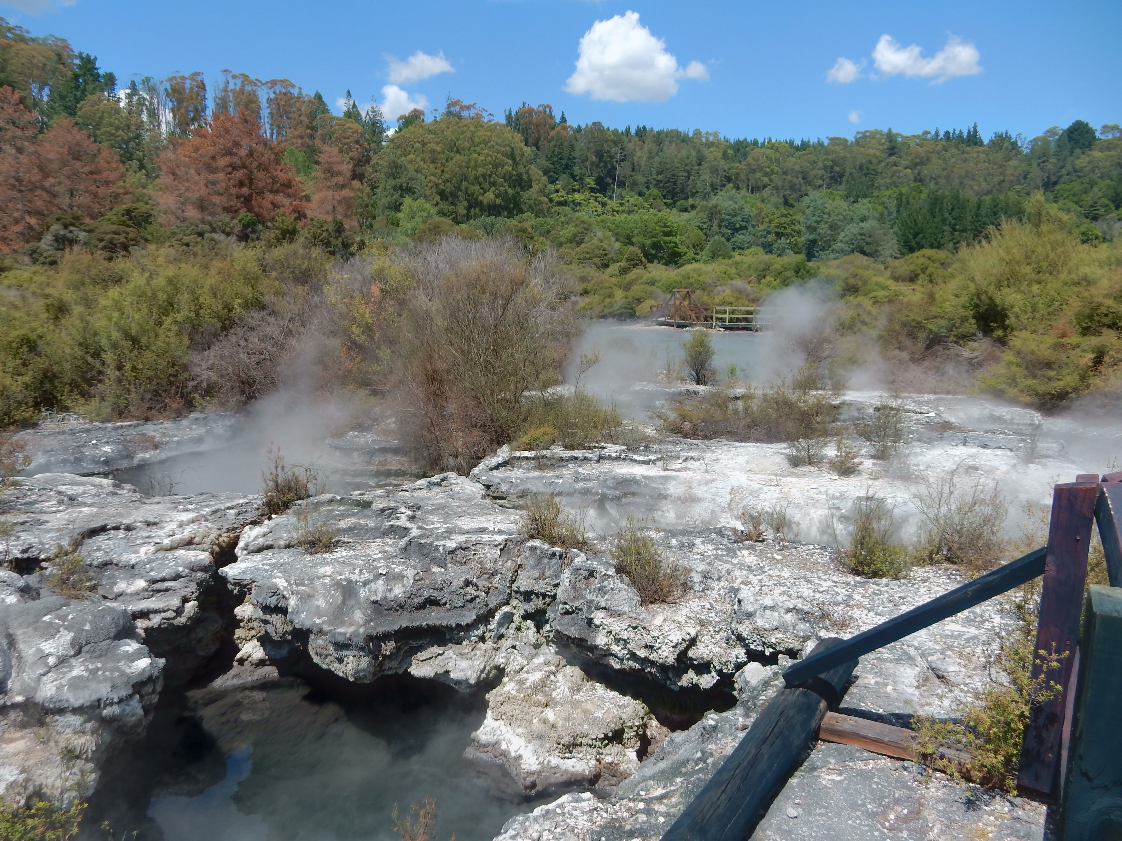
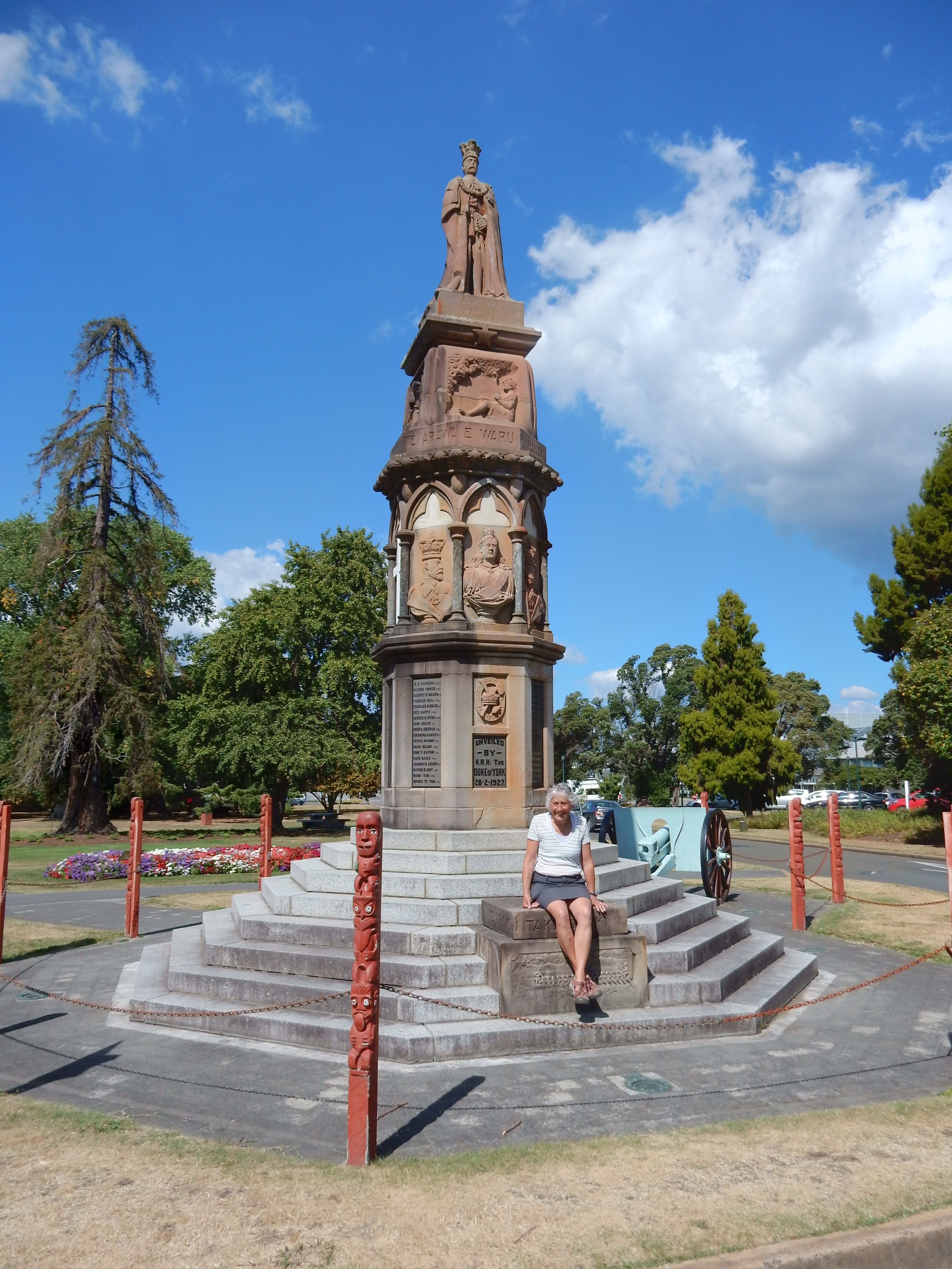
Arrived at the Whakarewarewa Living Maori Village outside of Rotorua for the 10am tour
OK, say the bottom word three times really fast!

This was an authentic Maori Geothermal Village. Though a tourist attraction, people still live in the village.


Bathing tubs for different temperatures, notice how they are fed by hot mineral water through different troves

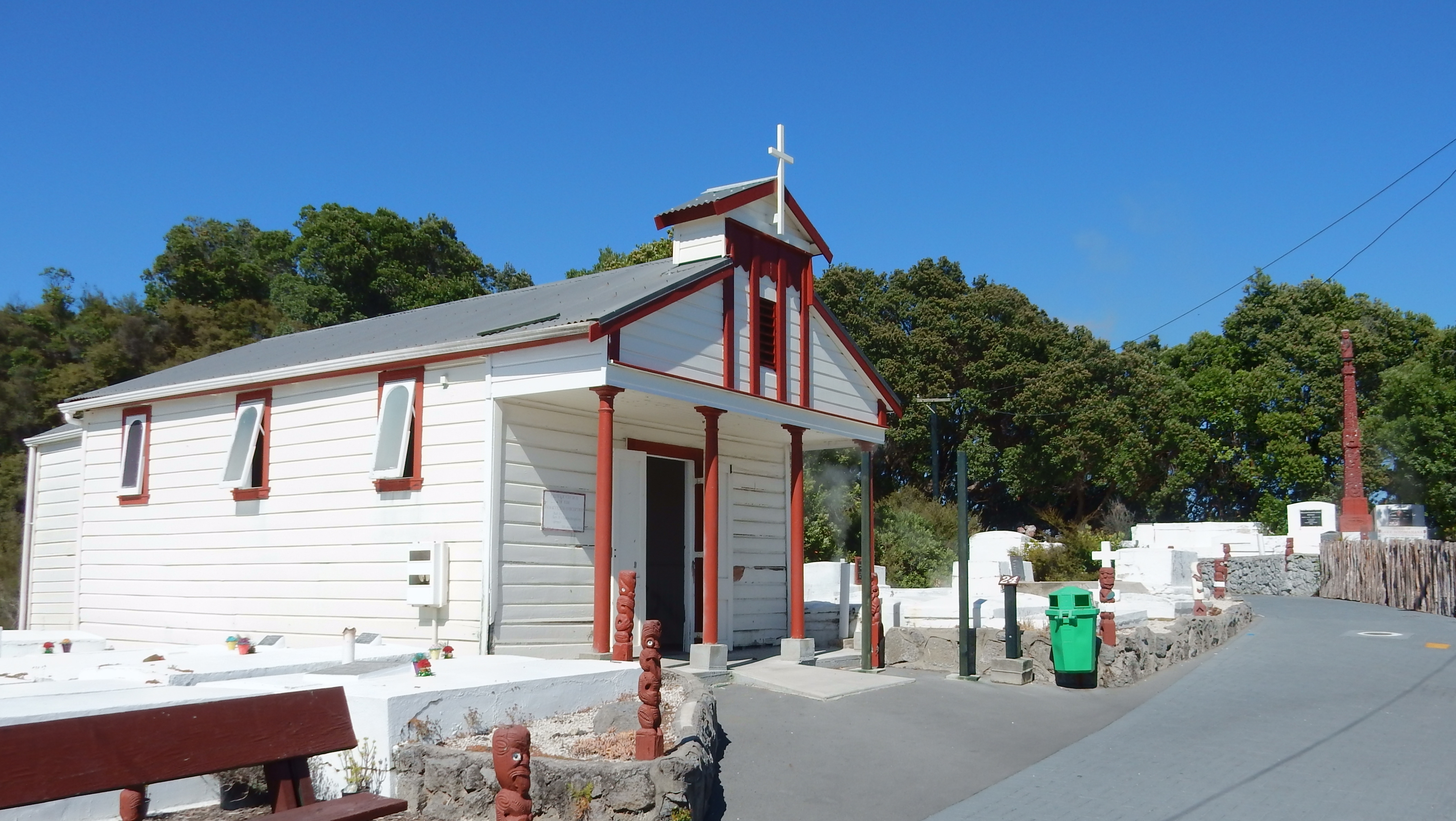
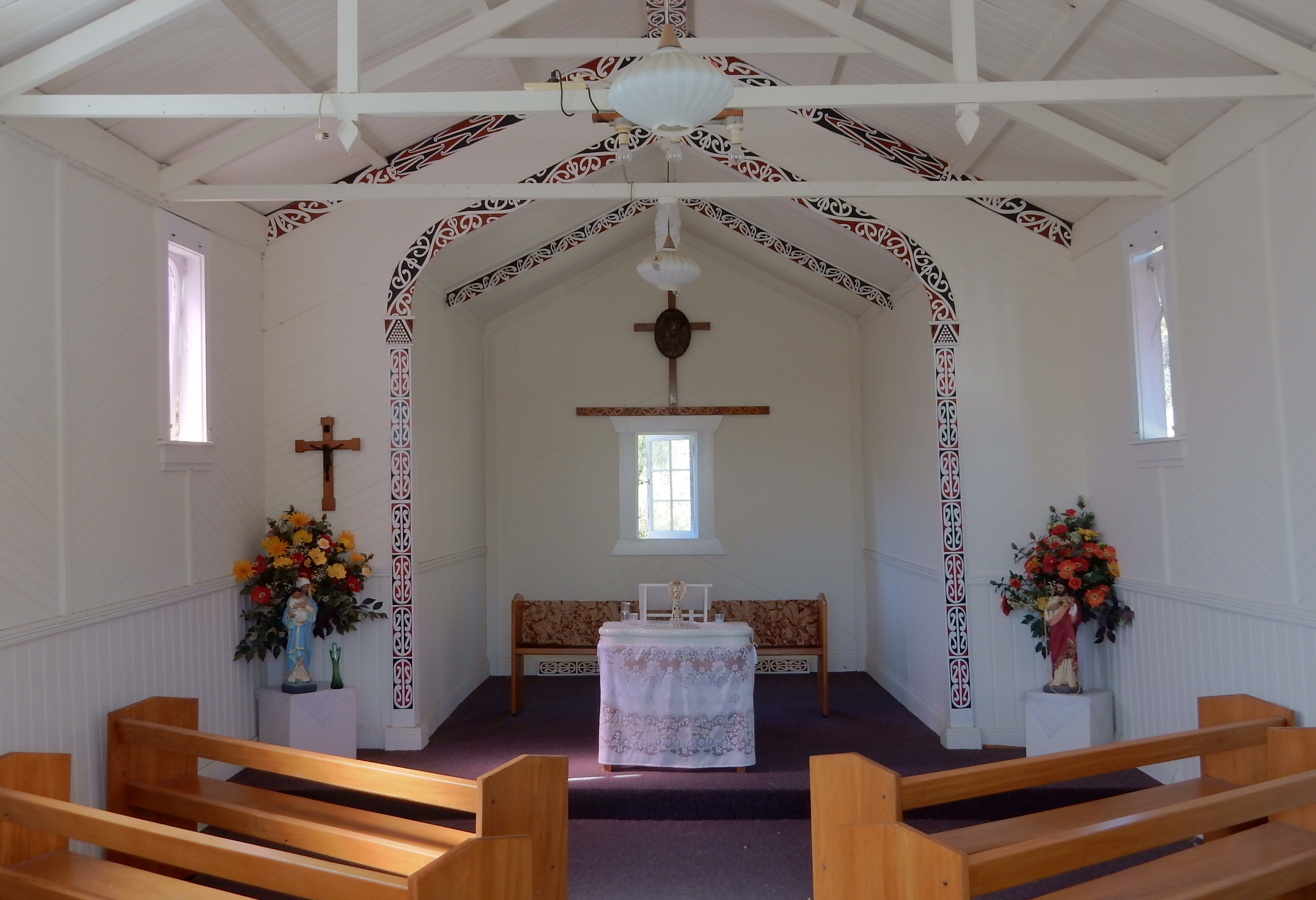
Church with cemetery on right
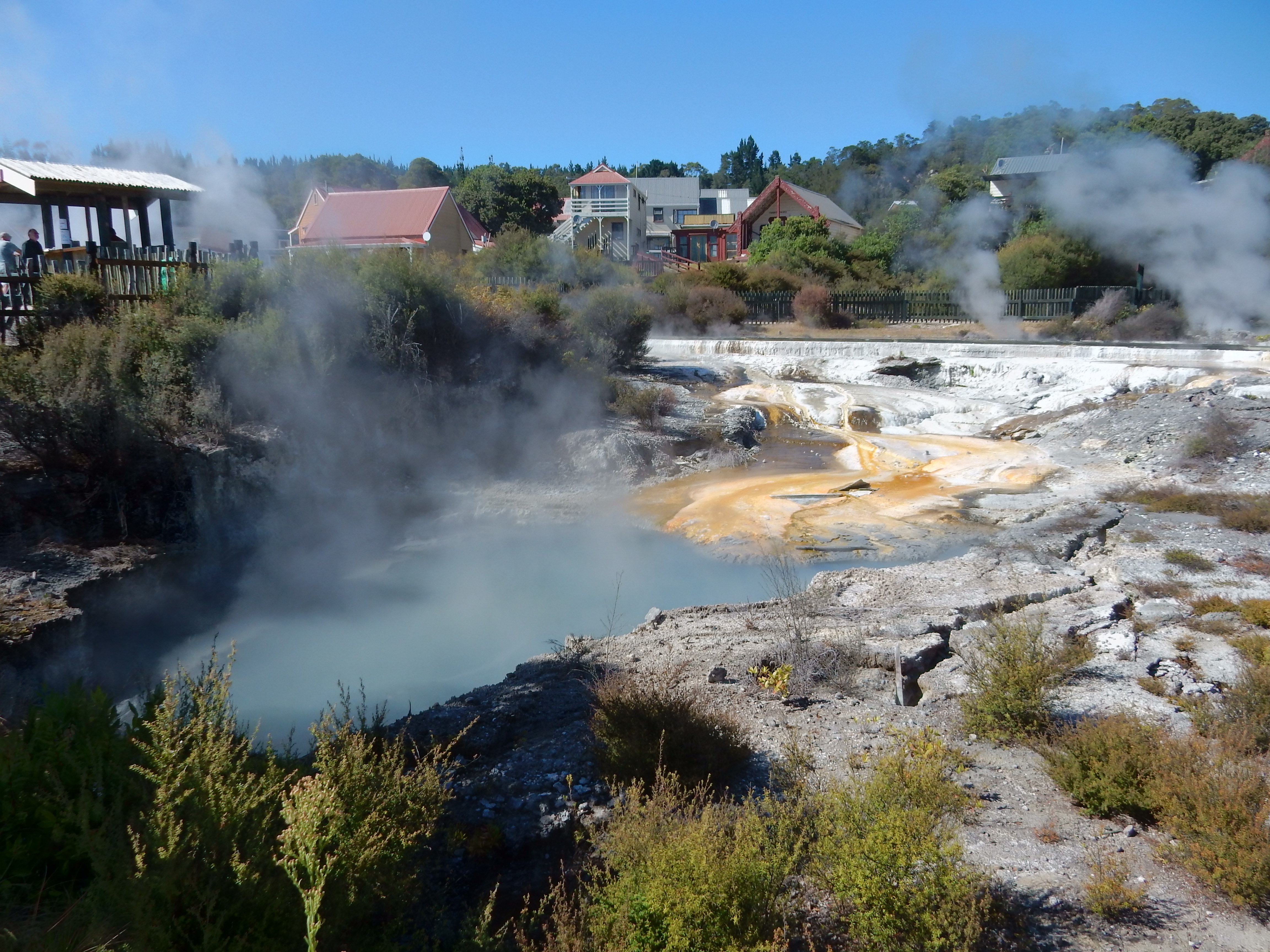
Pohutu Geyser

The tour was quite interesting and when done there was a dance/singing performance by the village Te Pakira group – three male and four female villagers. At the end, Helen performed with the group.

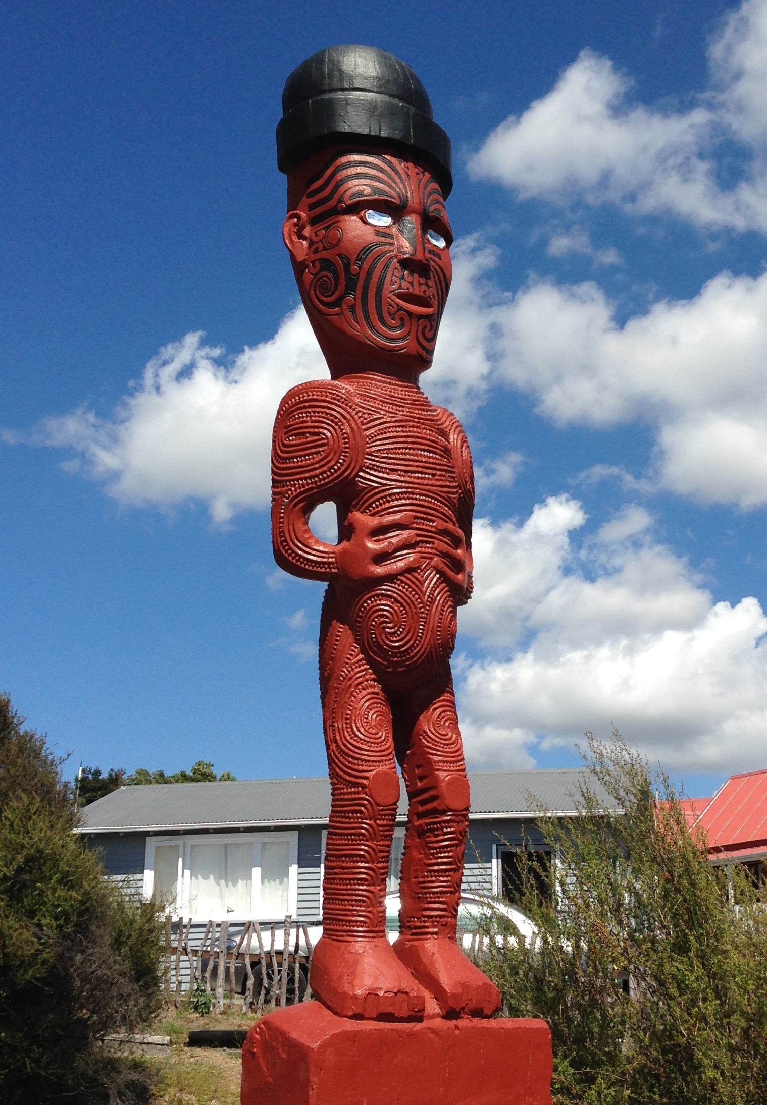
Do these warriors scare you?

Maori Meeting House

Pohutu Geyser – another view

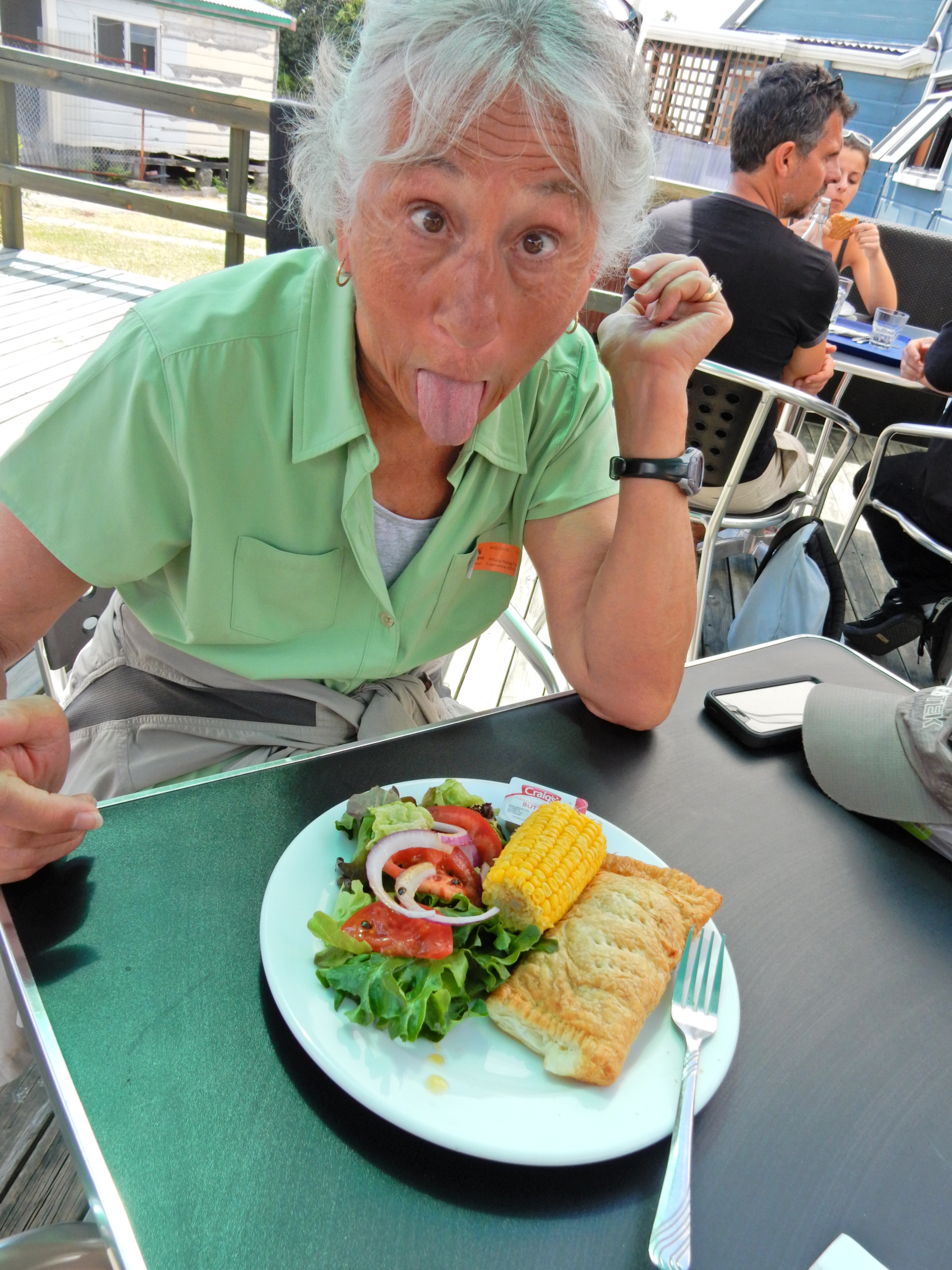
We also purchased a Hangi Pie meal for lunch. The Hangi Pie, a pastry pie filled with meat, vegetables and gravy, and a piece of corn were cooked in a traditional in the ground wooden oven heated by steam coming up out of the ground (geothermal). There was a nice fresh salad as well and then a kind of cake layer covered by pudding and fruit for dessert.

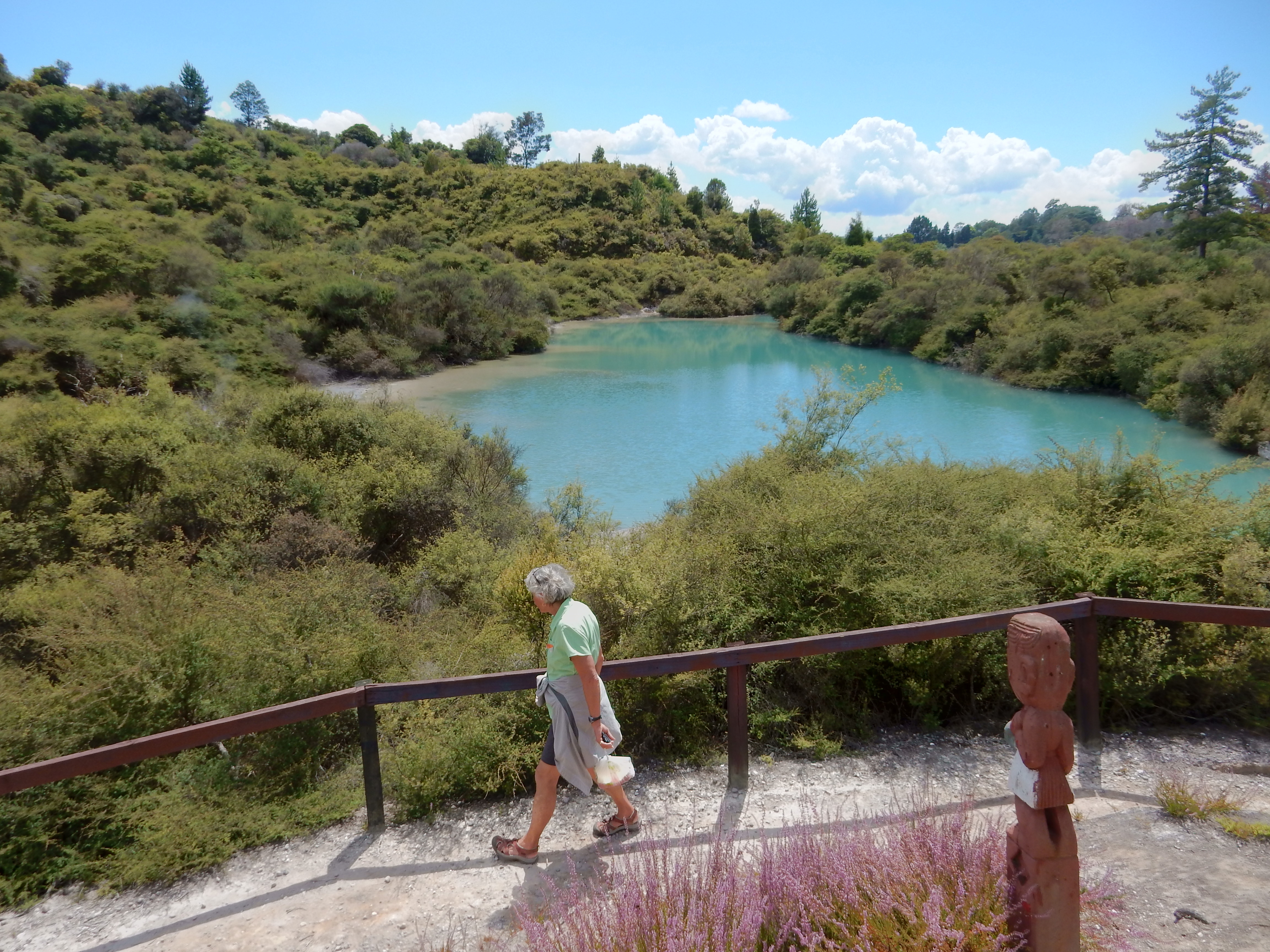
We also did a loop trail around Green Lake and another around the “hot” lakes and visited the museum

Checked into the Funky Green Voyager Backpackers Hostel in Rotorua. As it turned out we had a large dorm room with five beds plus a double bunk bed a couple of shelving units and that’s it! Fortunately, there was an attached restroom with shower that we could lock for our own use.
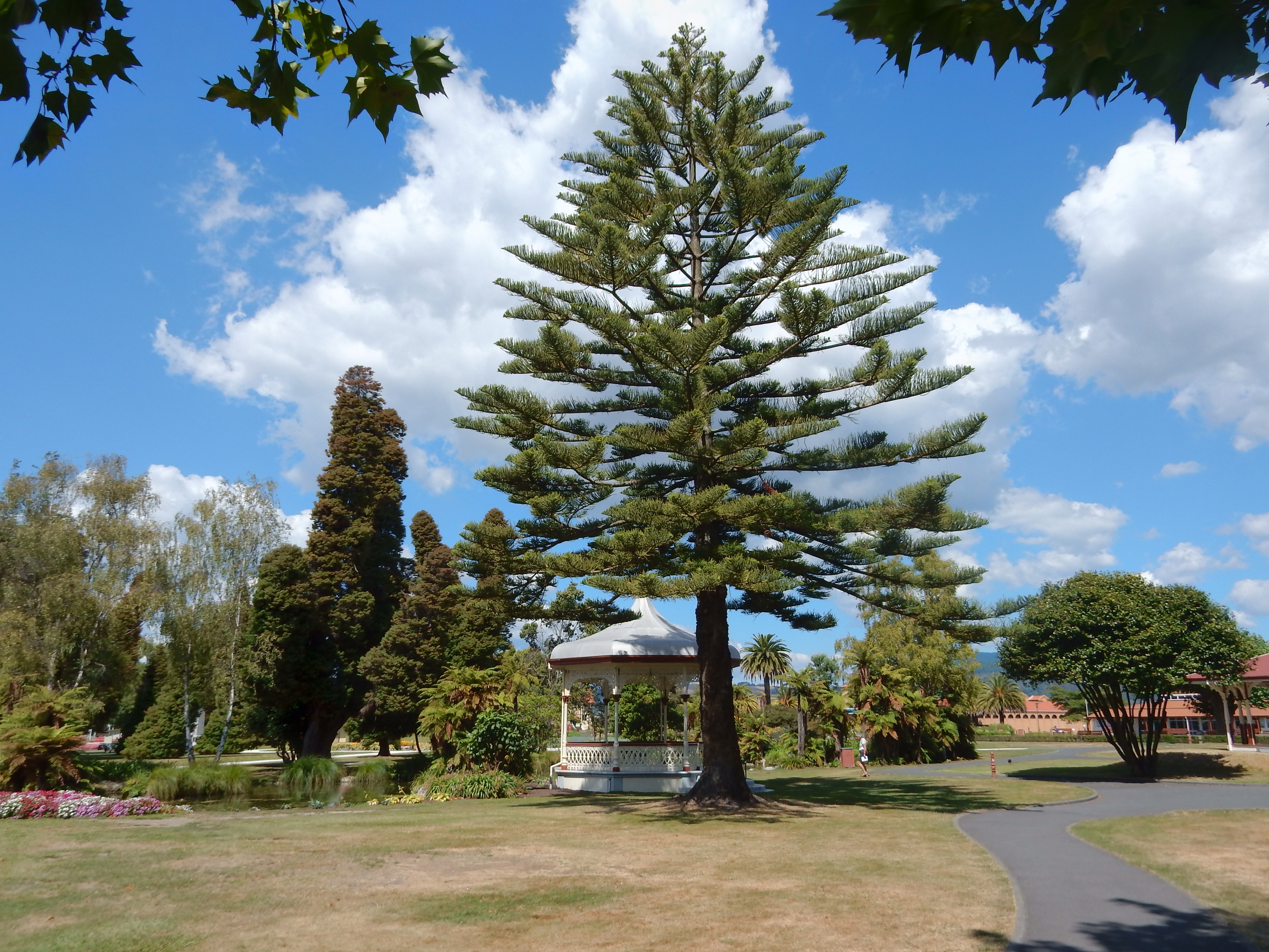
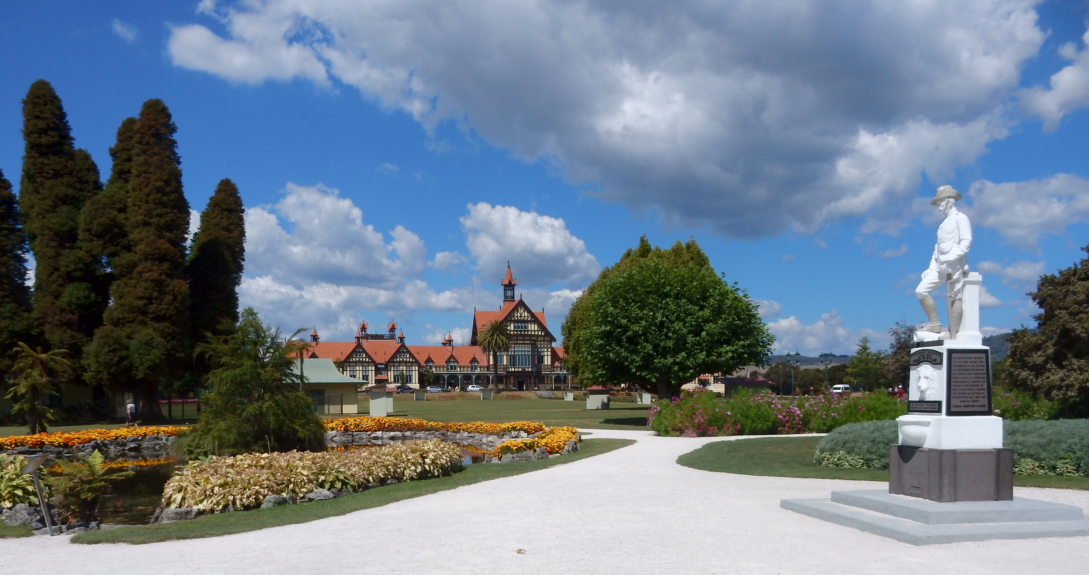
We had a nice walk through the Government Gardens downtown. They had four very large grass areas reserved for lawn bowling and croquet
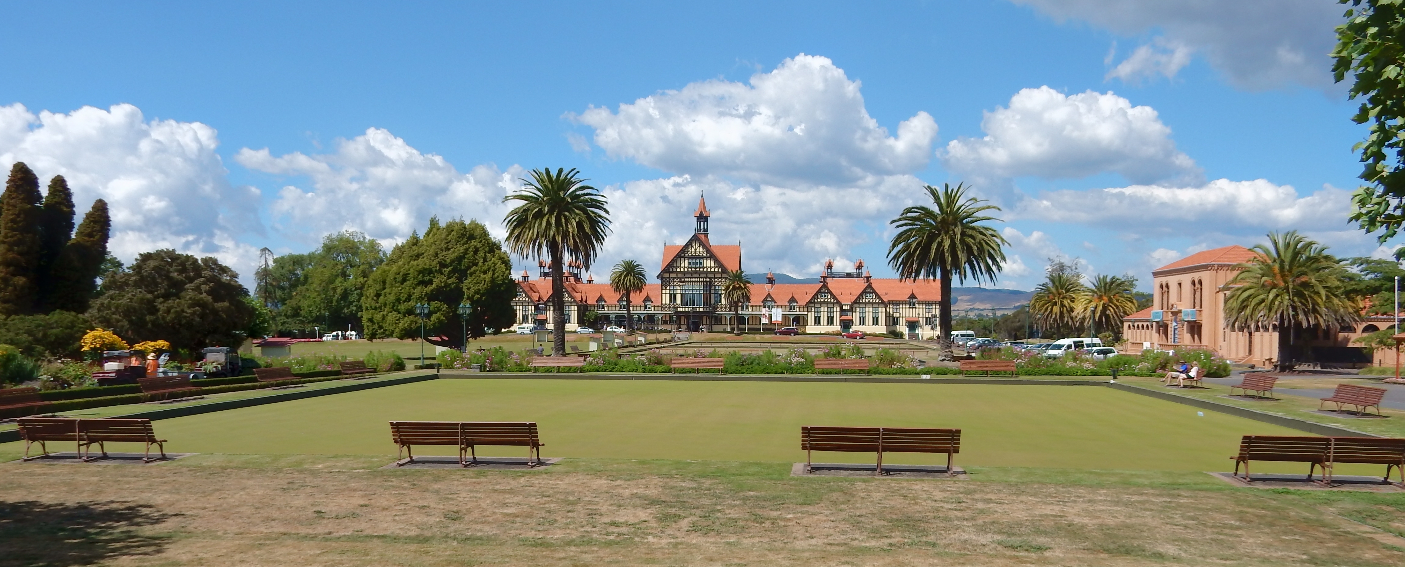
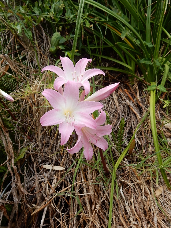
As well as the expected trees, flowers, ponds and monuments
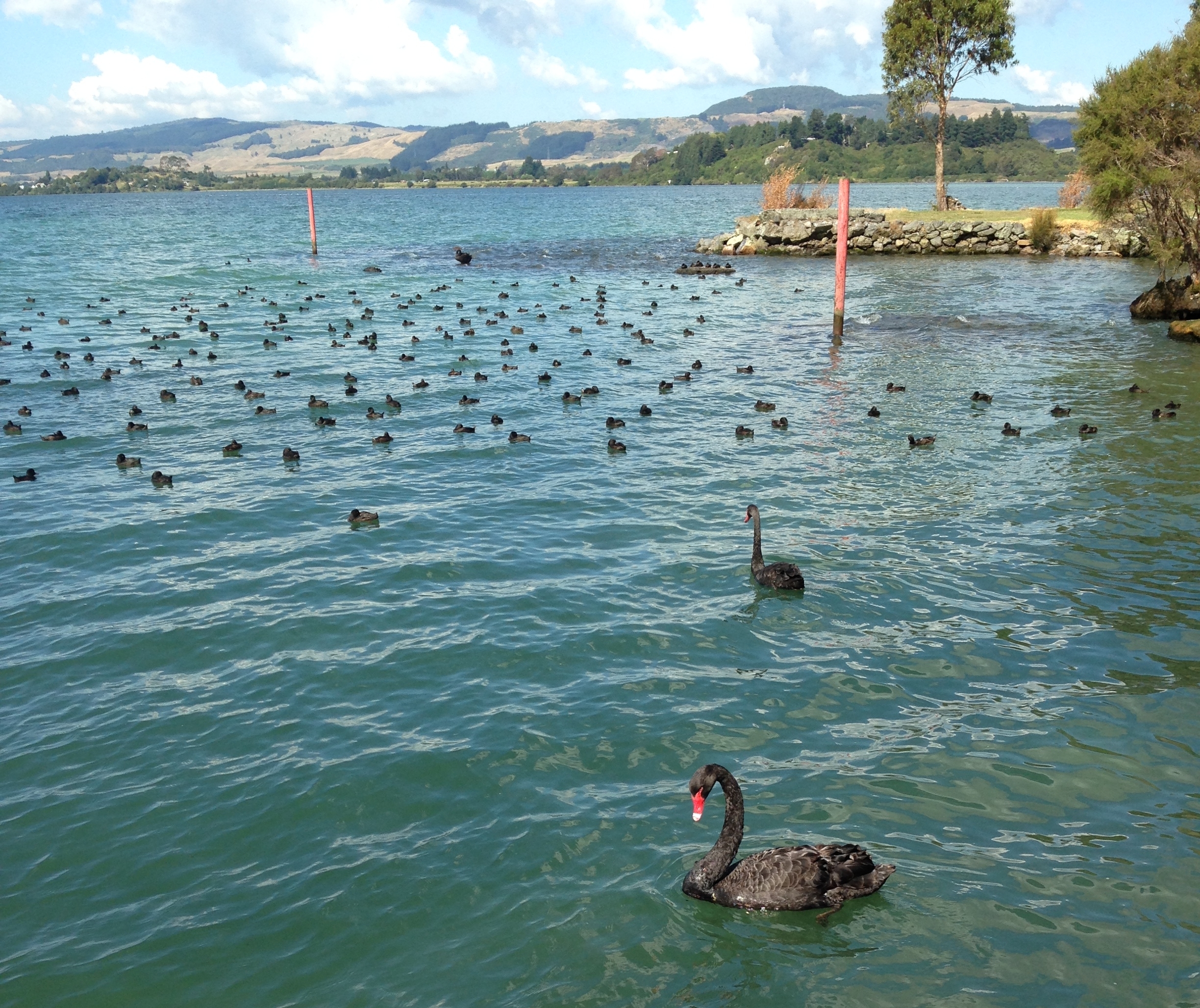
We stopped at the museum for some excellent iced coffee and then walked along the lake admiring the various birds.
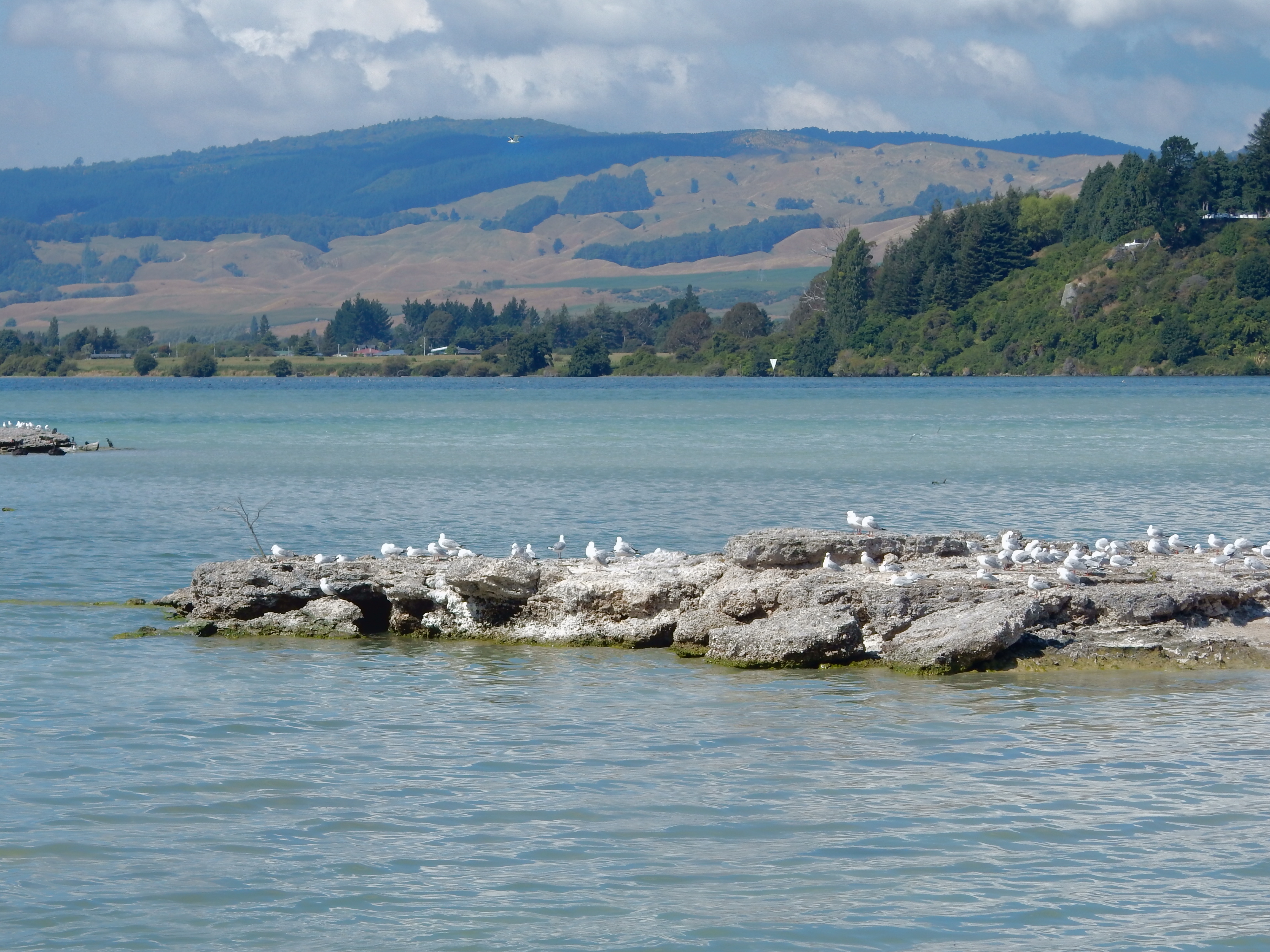

Lake Rotorua


Hiked around Sulphur Point

We came across a man who was half finished with a cloak he was making in the traditional Maori fashion. It was his graduation project for his degree in Art Design.

Maori Canoe

Distant relative?
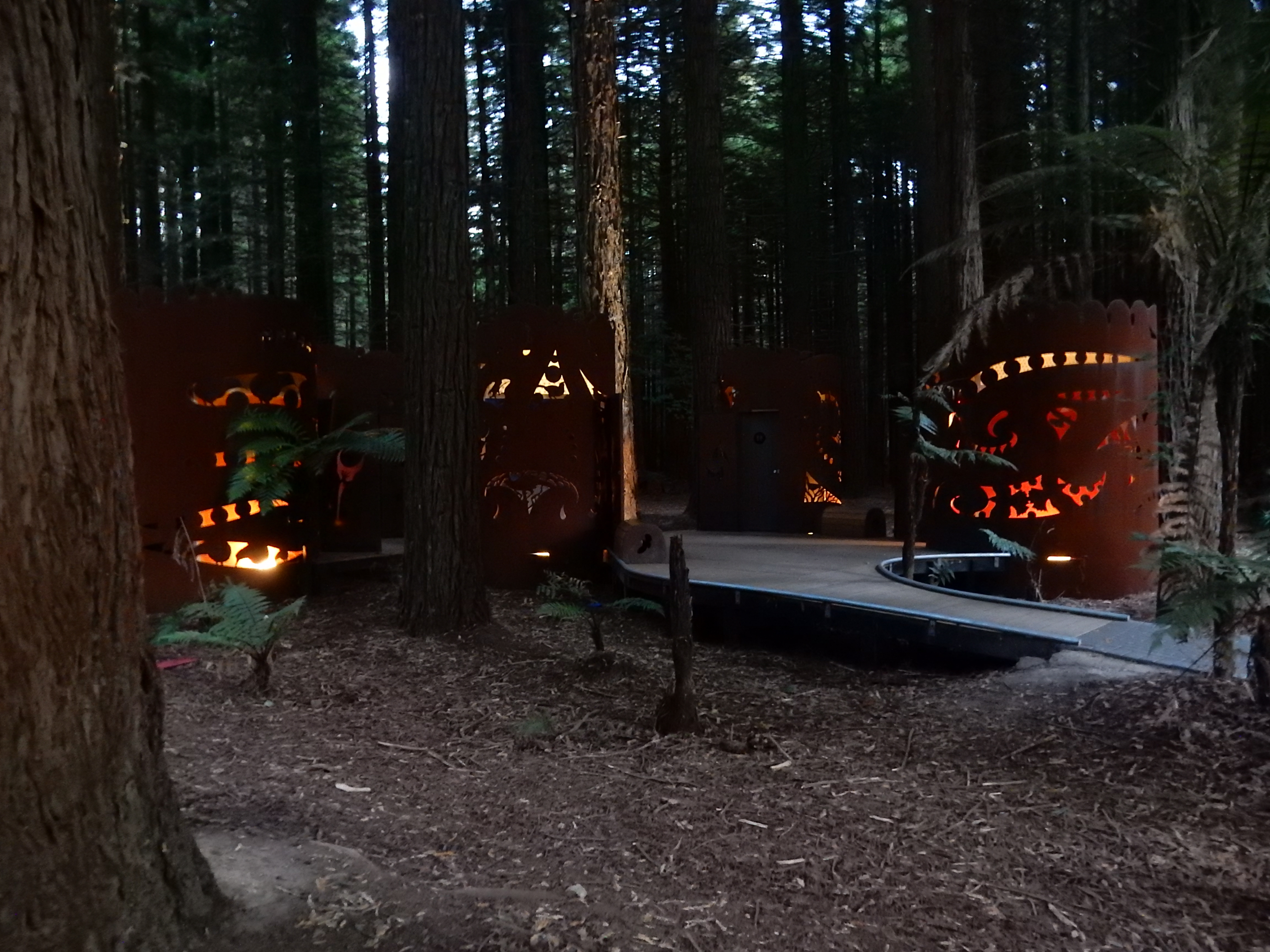
Ate at the Indian Star Tandoori Restaurant and that evening took a short walk through the Redwood Forest. The redwoods were planted here as an experiment one hundred years ago. They are clearly thriving.

Too dark to get good pictures – nurse log

Creative restrooms – almost makes you want to go!
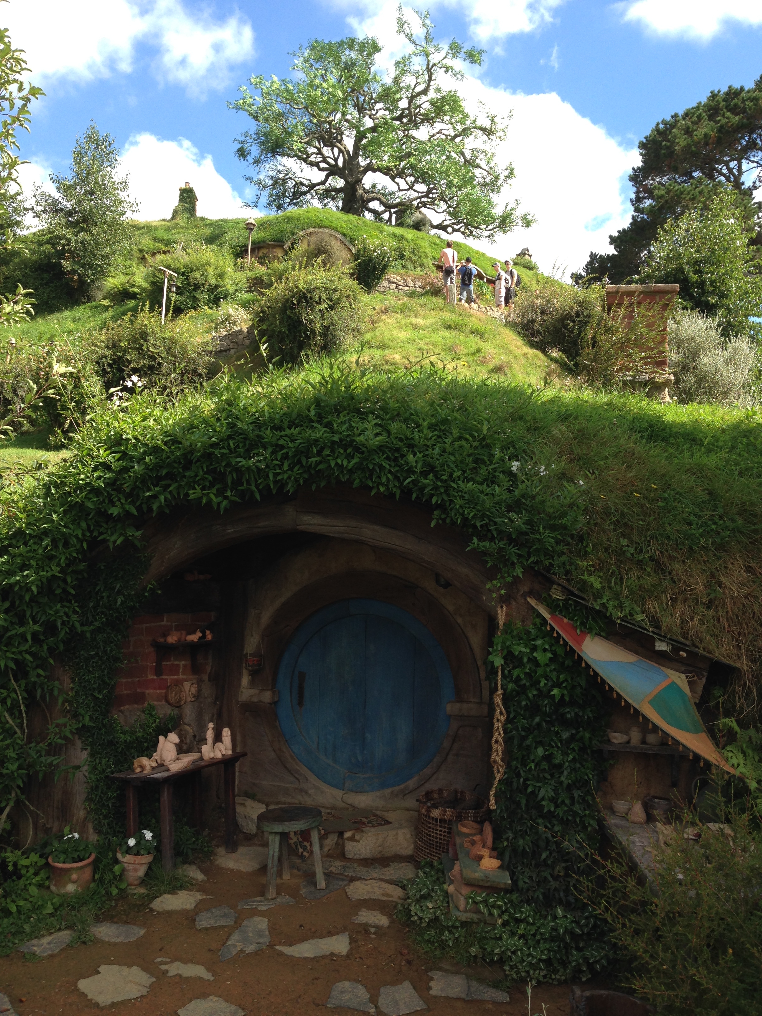
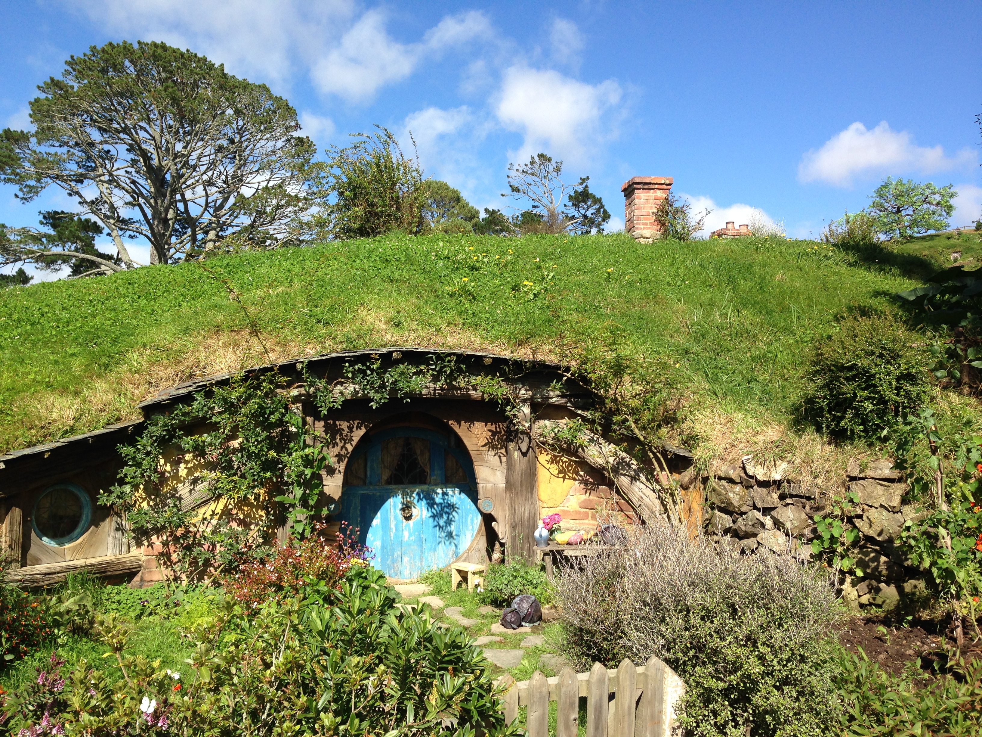
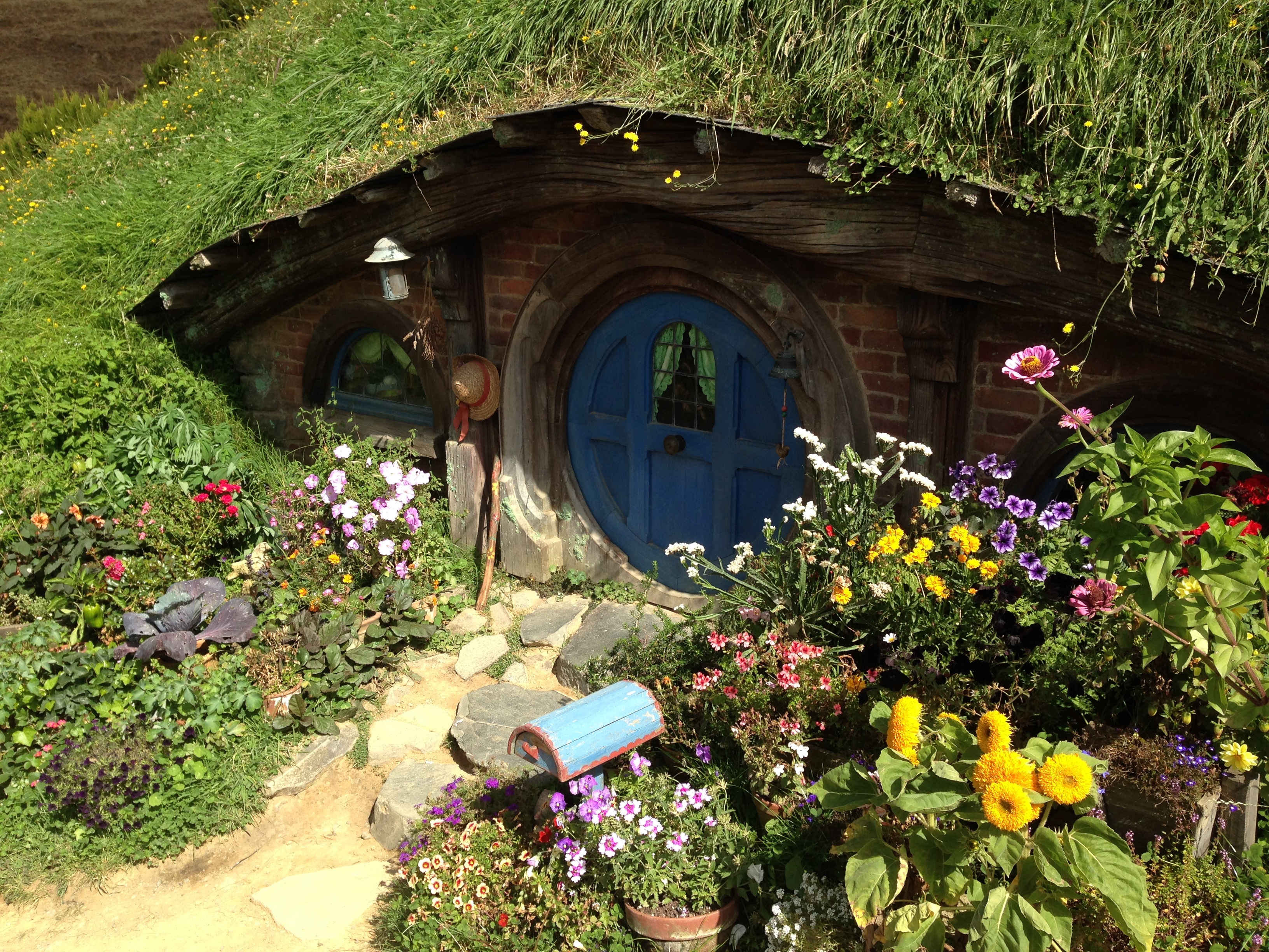
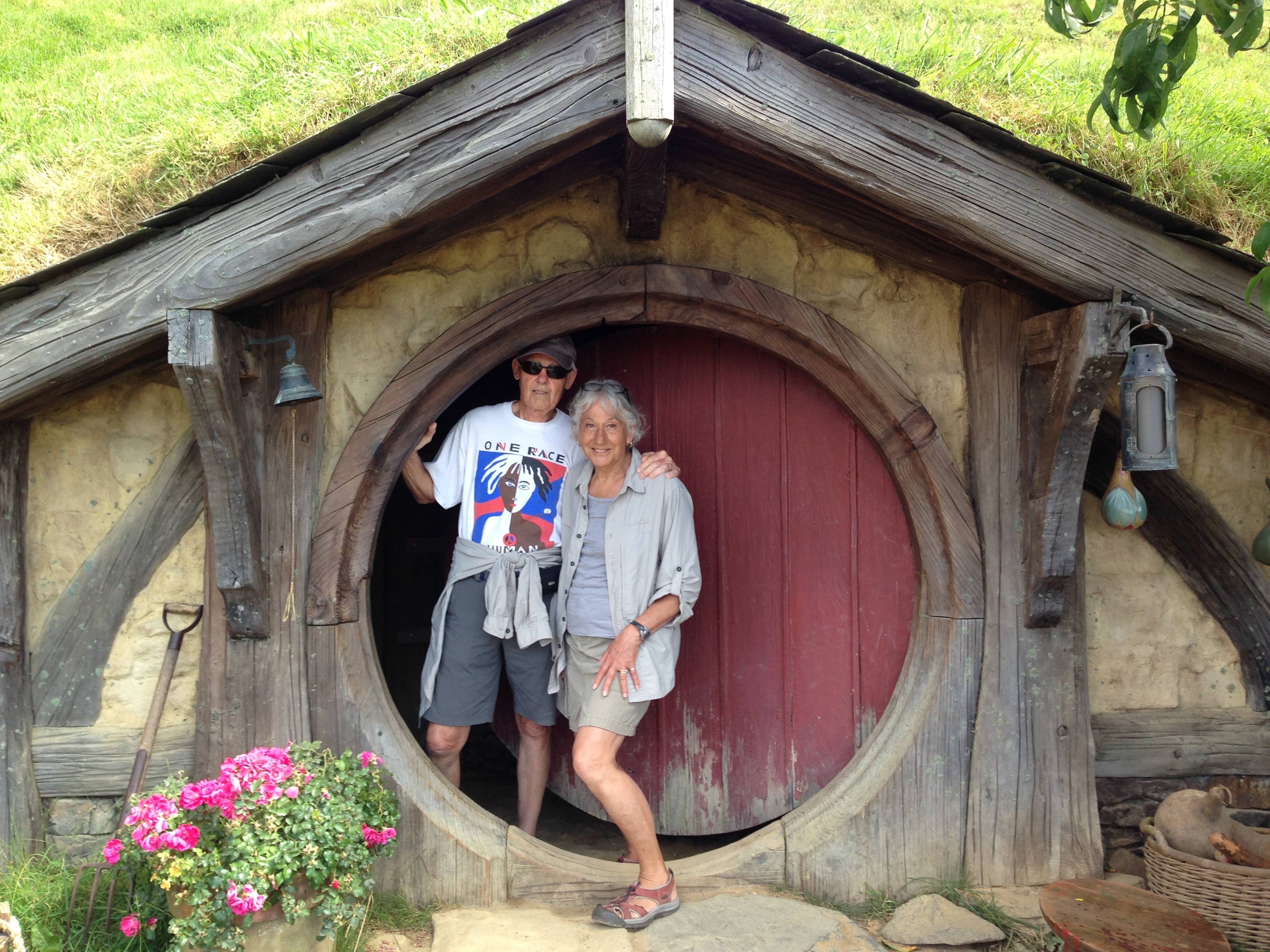
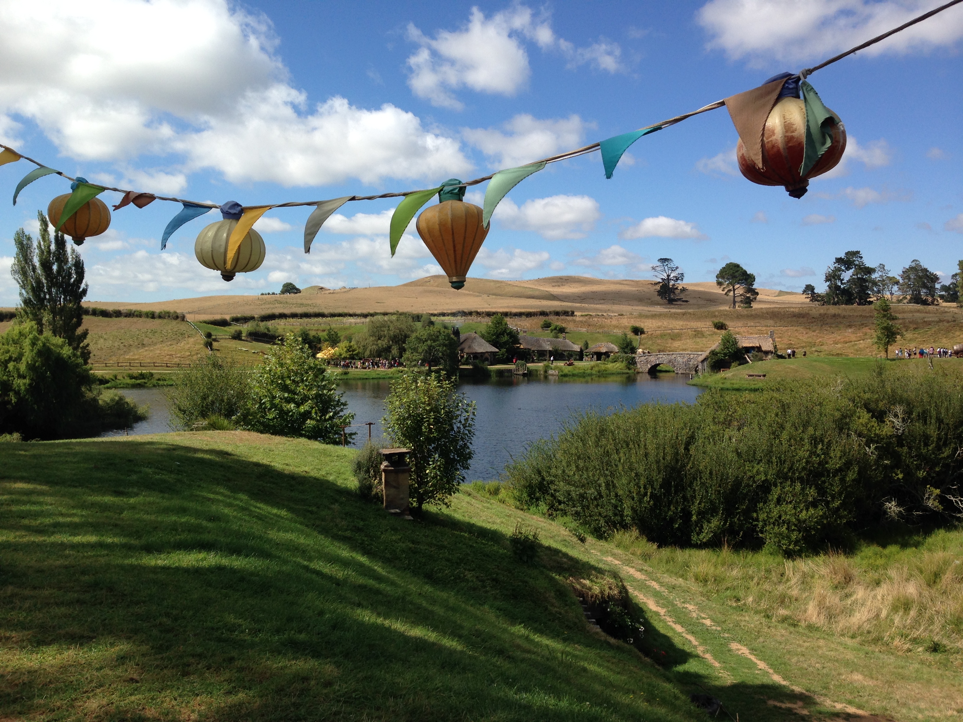
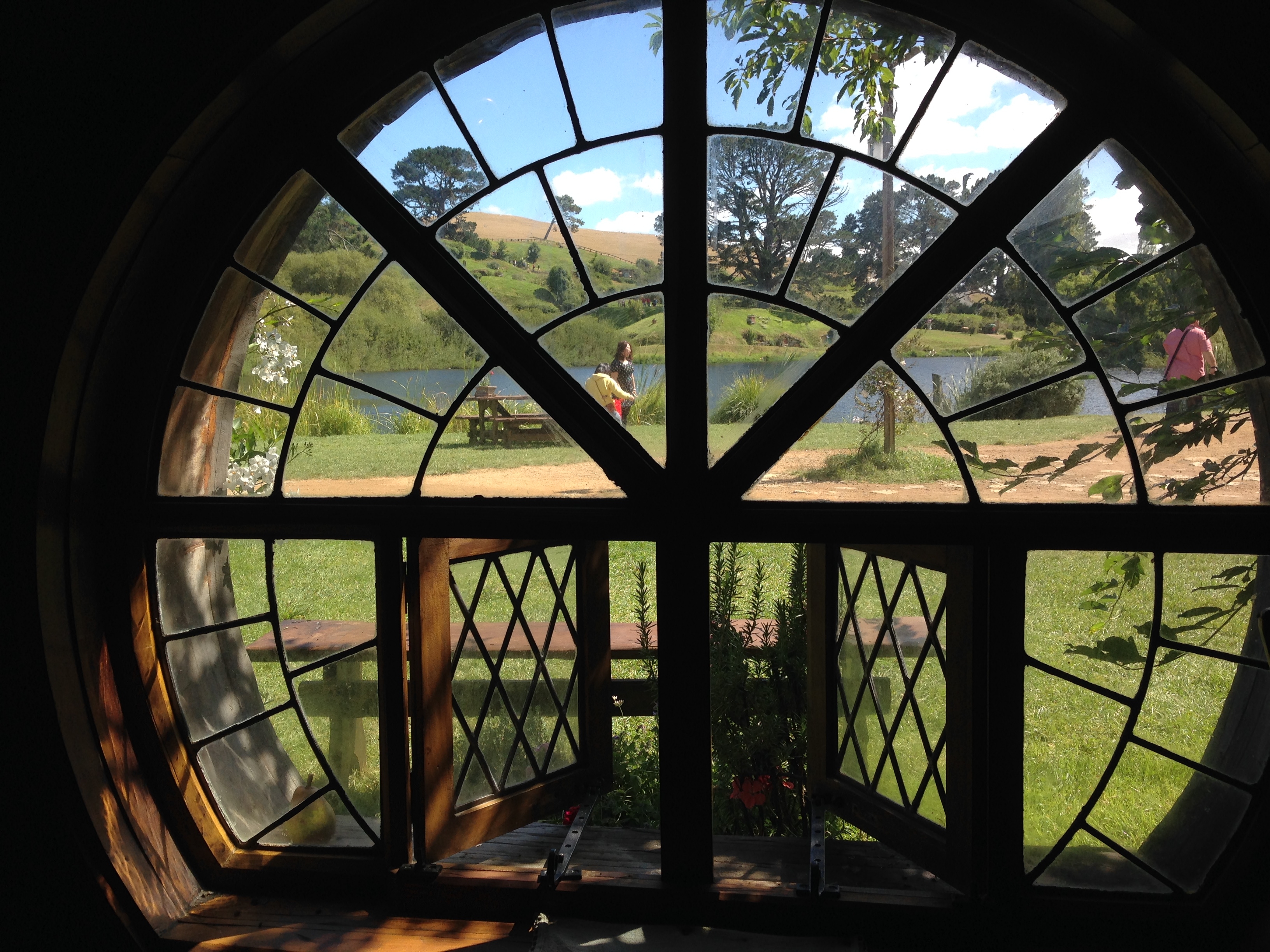
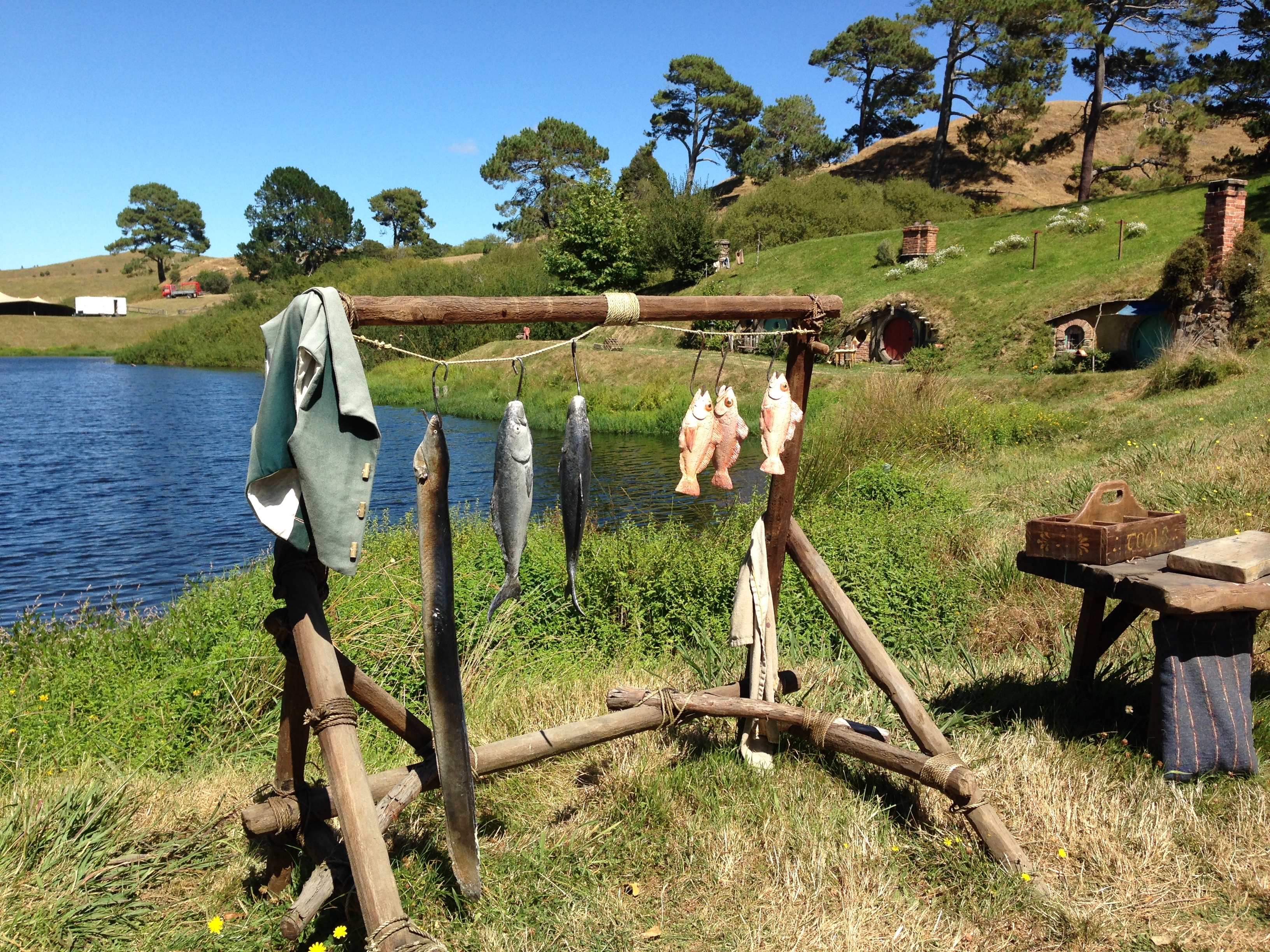
2/19 – Had breakfast at a new McDonald’s “Mc-Café” in Rotorua. It was large, upscale (e.g. many pastry options) and even had it’s own coffee barista! We made a last minute decision to tour the Hobbiton Movie Set where The Lord of the Rings and The Hobbit trilogies were filmed on our way to Auckland.

Hobbiton is located on a sheep and beef farm just outside of Matamata
We had reserved tickets for 11:30 but were able to fill two open spots for the first tour of the day at 10am

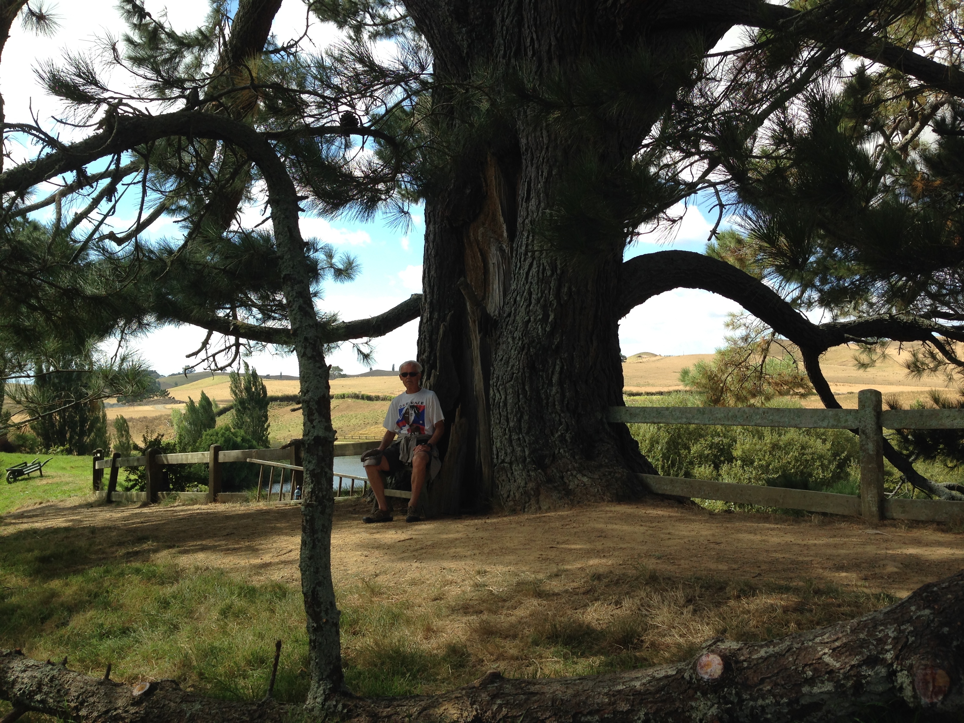
The oak tree that overlooks Bag End was cut down and transported in from near Matamata. Artificial leaves were individually wired onto the tree and must be replaced every few years!

Looking down from oak tree toward the “Party Tree” and “The Water”

The New Zealand Army put a one mile road into the site and helped with initial set development
There were 39 “Hobbit Holes”

Retirement home?


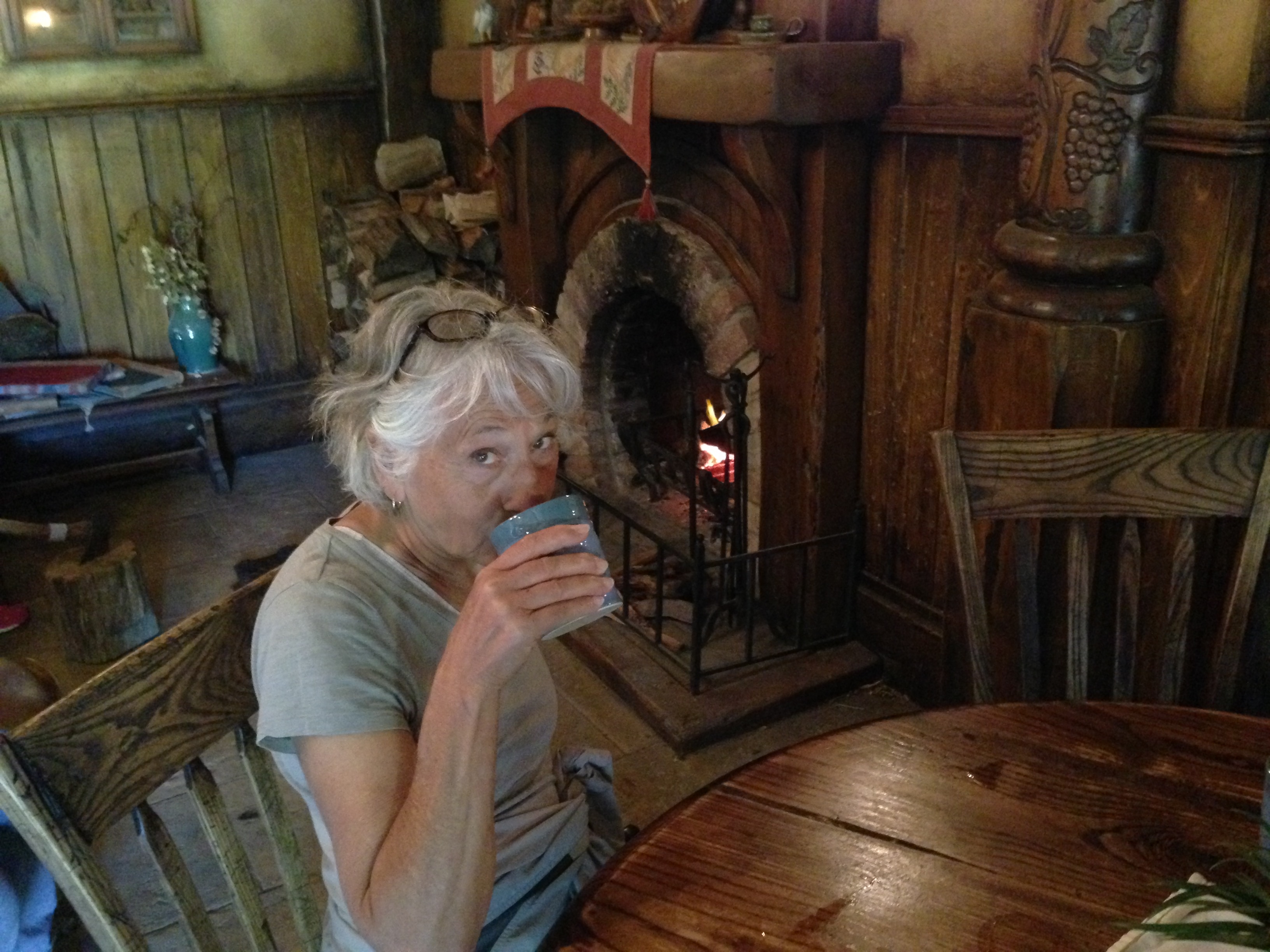
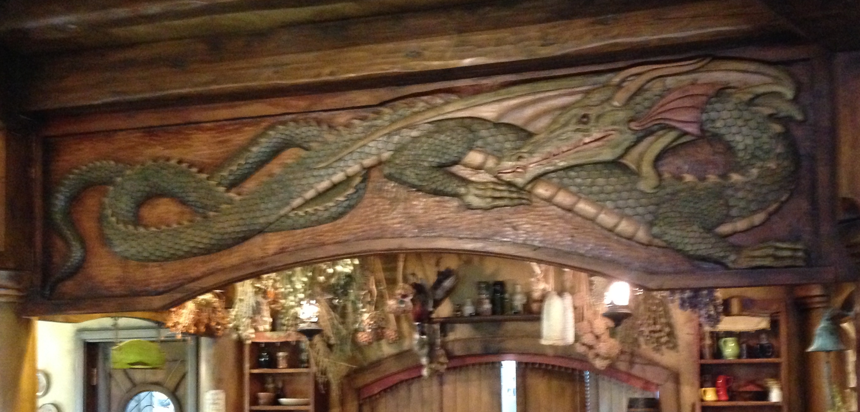
The Green Dragon Inn across “The Water”
Refreshments

Some Old Hobbits

Farewell Hobbiton –

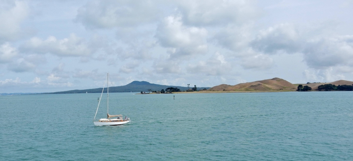
2/21 – Had breakfast and spent the rest of the morning preparing for a ferry ride to and stay on Waiheke Island in the Hauraki Gulf across from Auckland. Bob and Sue have been renting a summer home there for years. Here is the ferry coming into port –

Rangitoto Island is left center, the summit of the crater is 853 ft high
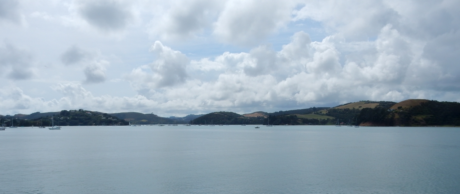
Relaxing on the 11 mile (45 minute) trip
Approaching Waiheke Island
Puppeteer at the Ostend Market

View of Onetangi Bay from balcony of vacation house

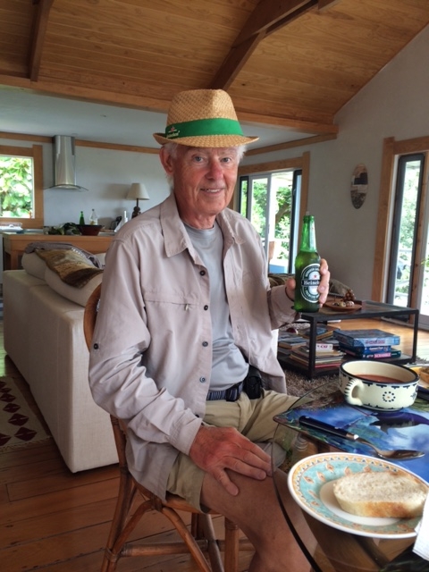
Heineken Man having lunch
Ferry coming into Bay, picture taken from Debbie’s property (Bob and Sue’s daughter)
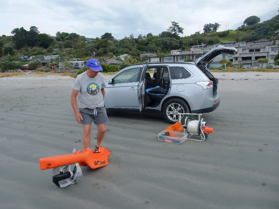
Getting ready to go fishing!

Bob setting up the “Torpedo” – it is a battery powered device that can take 100 fish hooks out from the beach. Hooks with bait are placed about 8 feet apart on a line that is pulled out into the water by the Torpedo. After an appropriate amount of time a battery powered winch is used to pull the line, hopefully with some fish, back in!
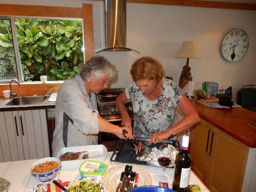
Dinner preparation back at the house
Yummy dinner while the Torpedo does the “fishing”

The Torpedo caught three fish. Sue says Bob will never make up the cost of the Torpedo by the value of fish caught!

Two of the fish caught – I called them Ying and Yang for obvious reasons

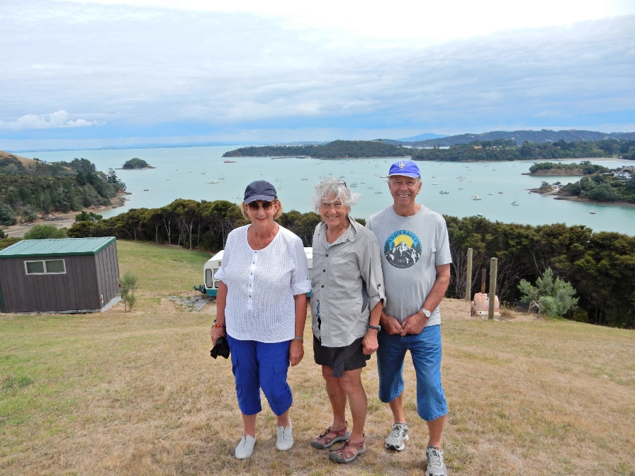
2/22 – Sue and Helen dropped Bob and I off for a hike through Onetangi Reserve and went shopping. Auckland in distance –

Nice hike

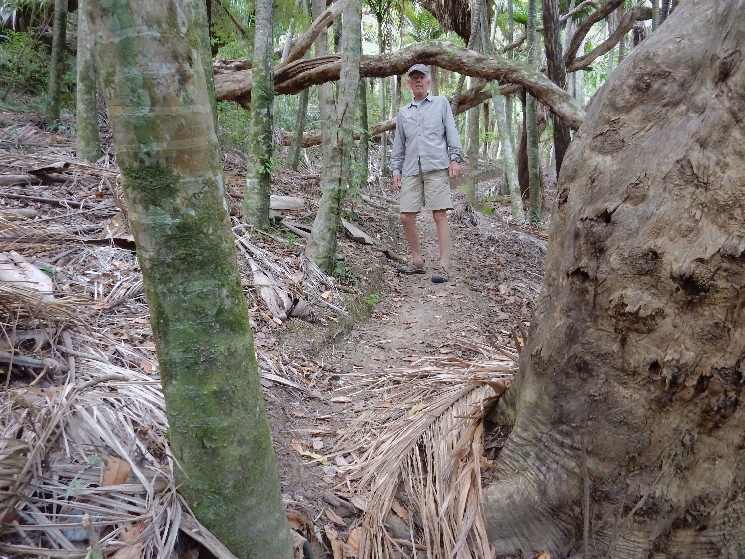
Kauri tree forest

Our hike ended near Charlie Farley’s bar at Onetangi Beach
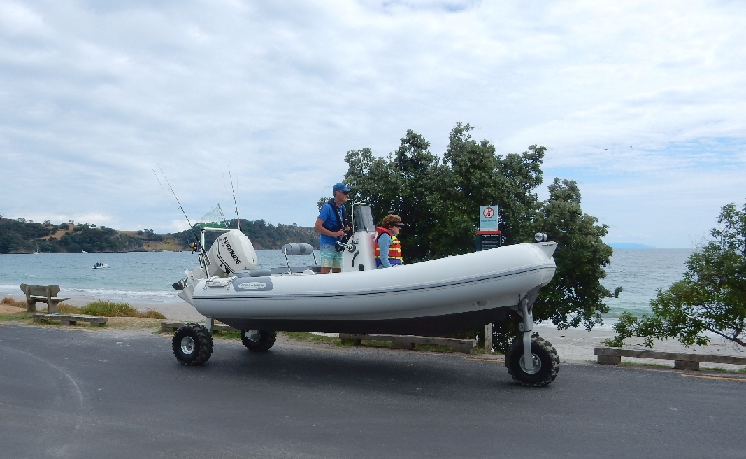
It was a festival day at the beach with a lot of friendly competition; e.g. horse racing on the beach and a regatta course for amphibious boats – see picture
Walked back to the house for lunch


Another view of Onetangi Beach

After lunch, we took the ferry back to Auckland

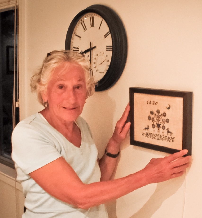
Helen finished a cross-stich for Bob and Sue, framed it

And hung it on their wall
2/23 – Bob got us to the Auckland Airport about 6:15am for our 8am flight to Sydney on Virgin Australia Airlines. It was terrible, they had only two agents and by the time we got to the counter we had only 30 minutes to get on the plan. But, they had finished accepting luggage and we had to take ours to a different location. The first location they told us to go to was incorrect. By the time we got to the right one and then went through security, we had five minutes to run to the gate. You can picture Helen with her knee brace, backpack and picture (about 18″ x 24″) and me with my backpack, boarding papers and hiking stick running for the plane! We were the last ones on before they closed the gate!

Leave a comment