
4/25/2019 – visited Mary McLeod Bethune Council House National Historic Site in Washington DC.
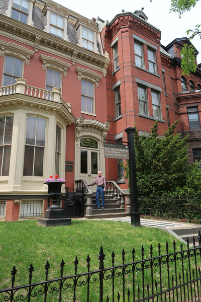
The House is part of the Logan Circle Historic District


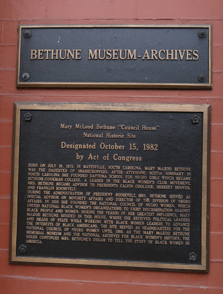
She was born a slave in 1875, during the Reconstruction Era in SC. She became an educator, presidential advisor, and political activist.
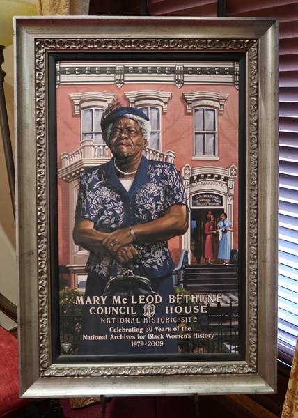
In 1943, she founded and became first President of the National Council of Negro Women. She bought this house and made it the Council headquarters and started the National Archives for Black Women’s History.
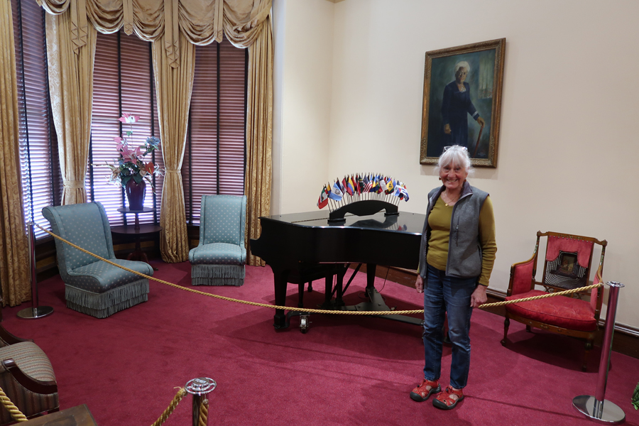
The NHS continues to serve as a research center and archive to preserve African American women’s heritage and recognize their accomplishments.
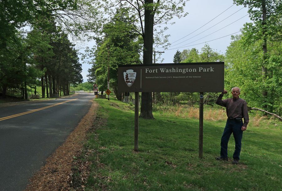
We drove from the Mary McLeod Bethune Council House NHS in DC to Fort Washington Park (Other NP Unit) in MD
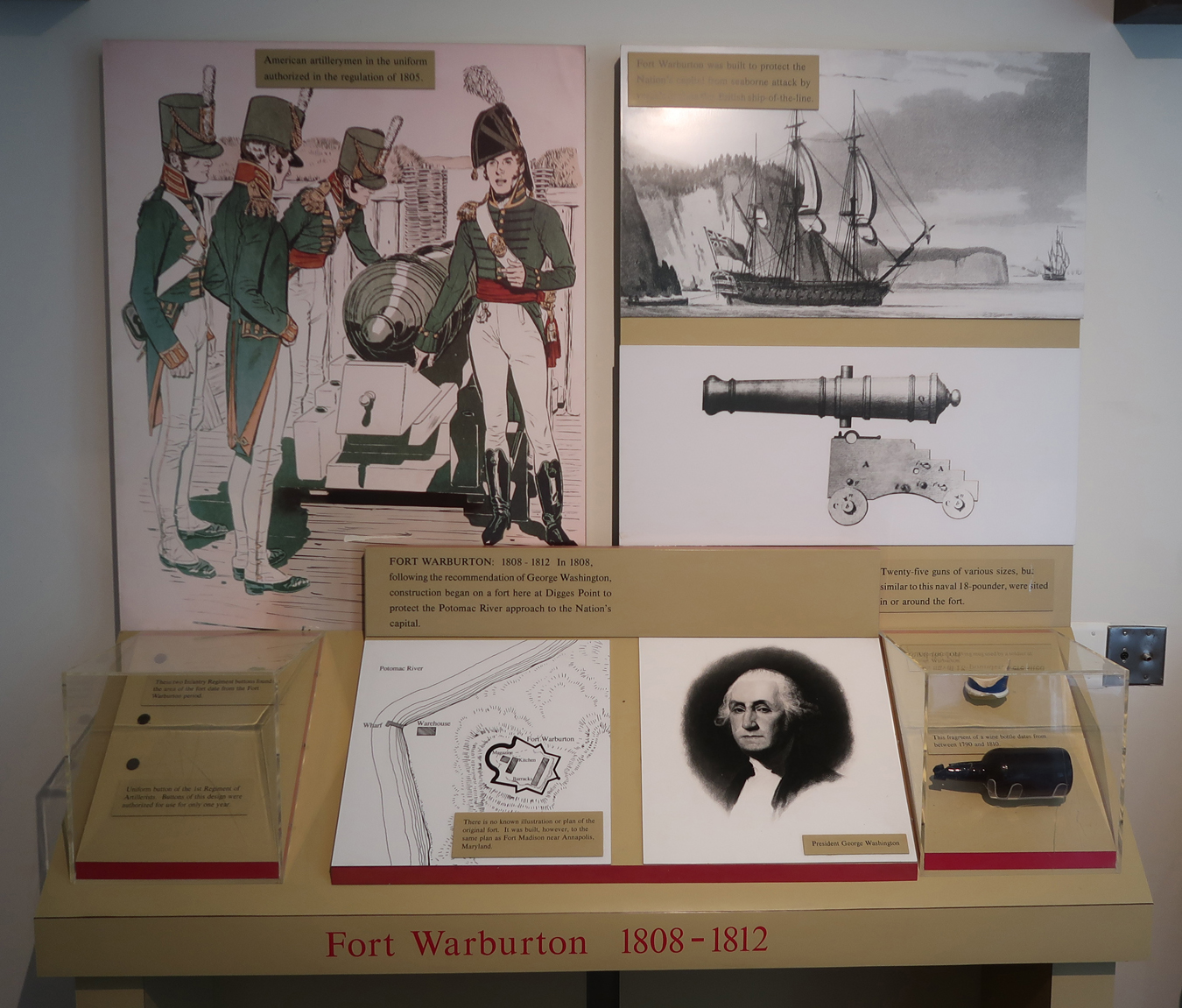
Originally, the Digges family estate – Warburton Manor

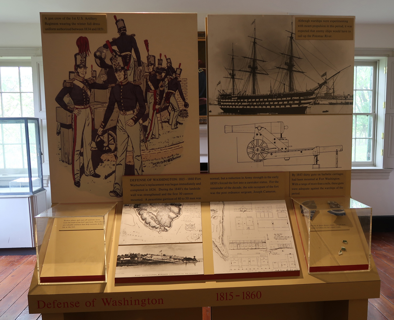
Fort Warburton was constructed here in 1808
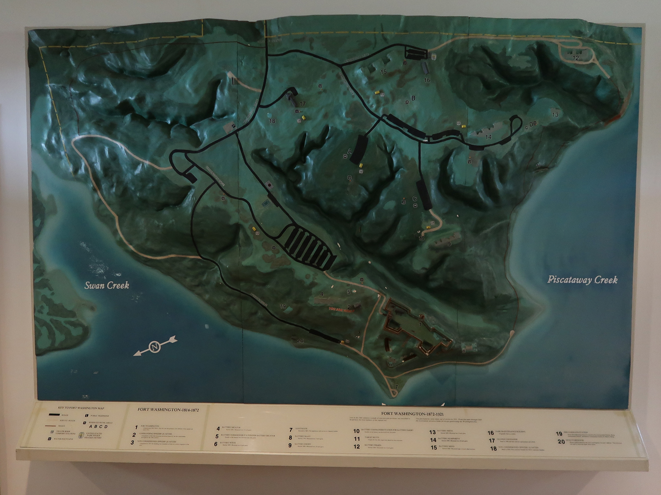
Map of park

Wall model showing location of Fort Washington on point between Swan Creek and Piscataway Creek where they enter the Potomac River
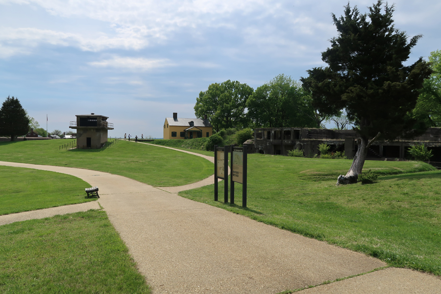
Left to Right
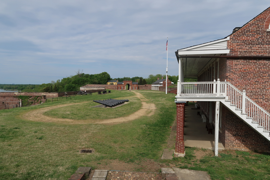
Fort Washington (flag), Battery Decatur Commander Station, Visitor Center, and Battery Decatur

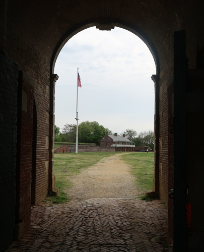
Overlooking entrance to fort
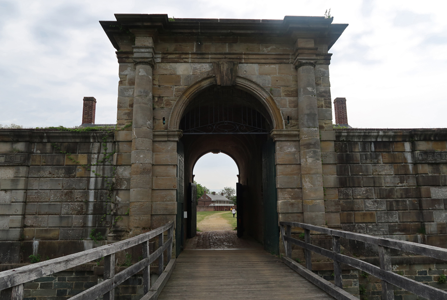
Drawbridge and Gatehouse
Potomac River side of fort

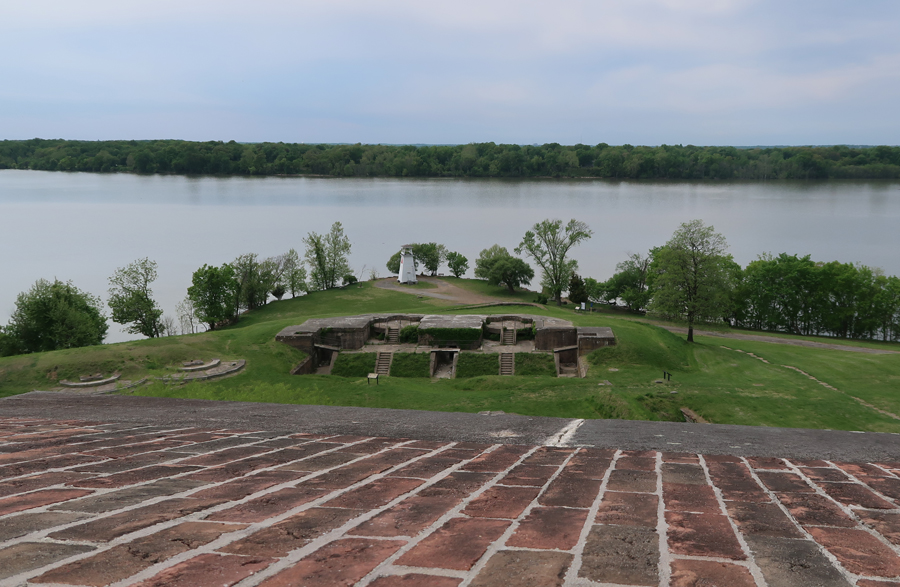
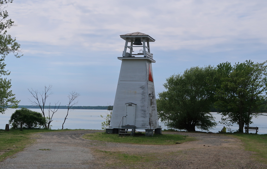
Overlooking Battery White near river, note lighthouse
View west from east side fort
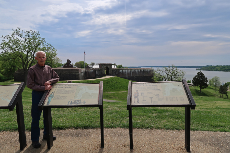
Early history of fort


View of Fort Washington from west

Lighthouse was originally a fog bell tower when built in 1882 it is now Light 80 and serves as a channel marker operated by the USCG – Light 80
It is also a site along the Star-Spangled Banner National Historic Trail

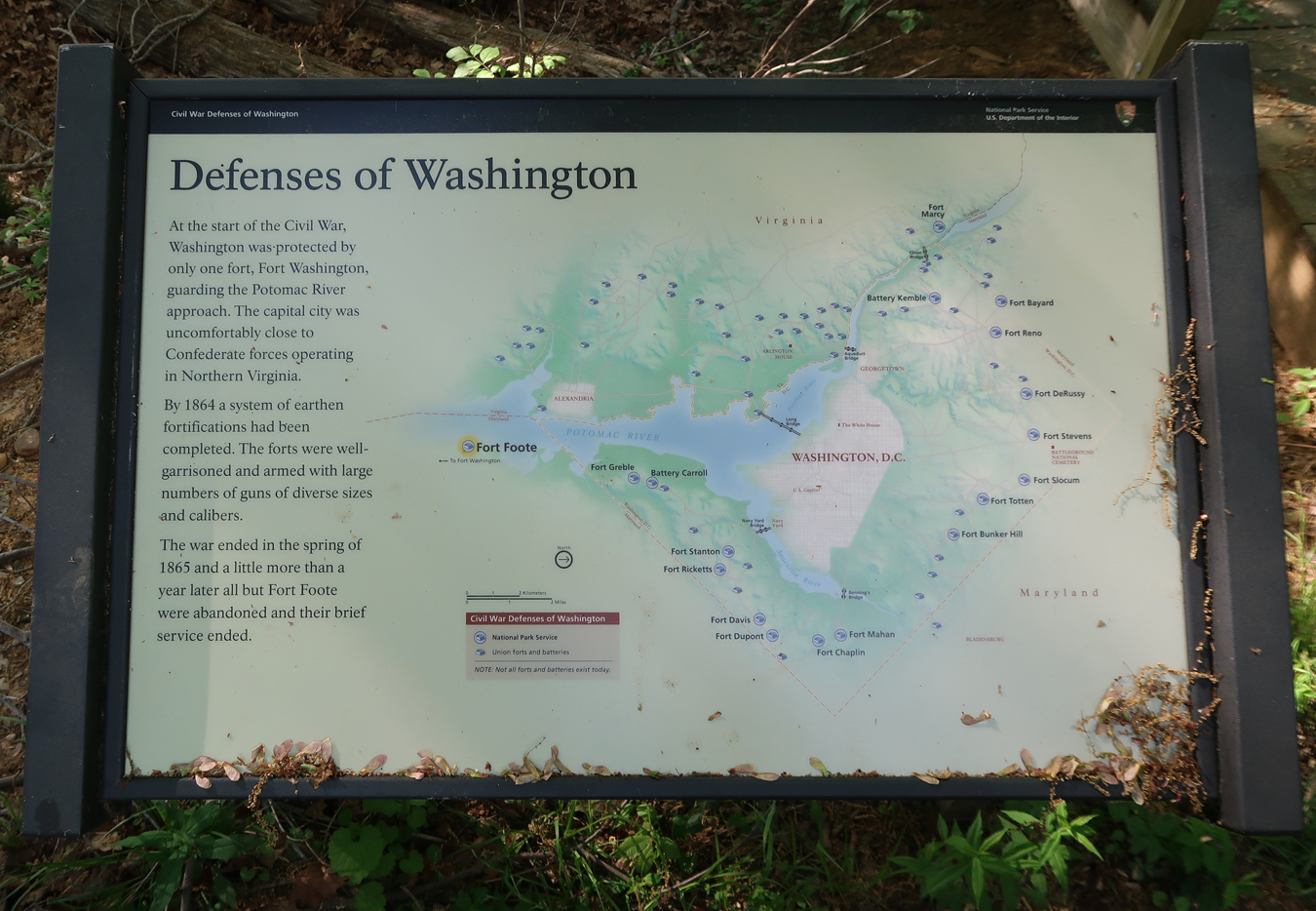
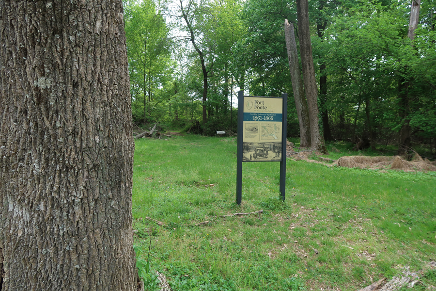
It was a 15min drive from Fort Washington Park east to Fort Foote Park. It is administered by the National Capital Parks East Unit of the NPS. I was here in 2018 but was not able to hike to the cannons.

Fort Foote, built in 1863, was one of 68 forts built around the Nation’s Capital during the Civil War. Before the Civil War, only Fort Washington protected the Capital.
It was a short walk to the fort

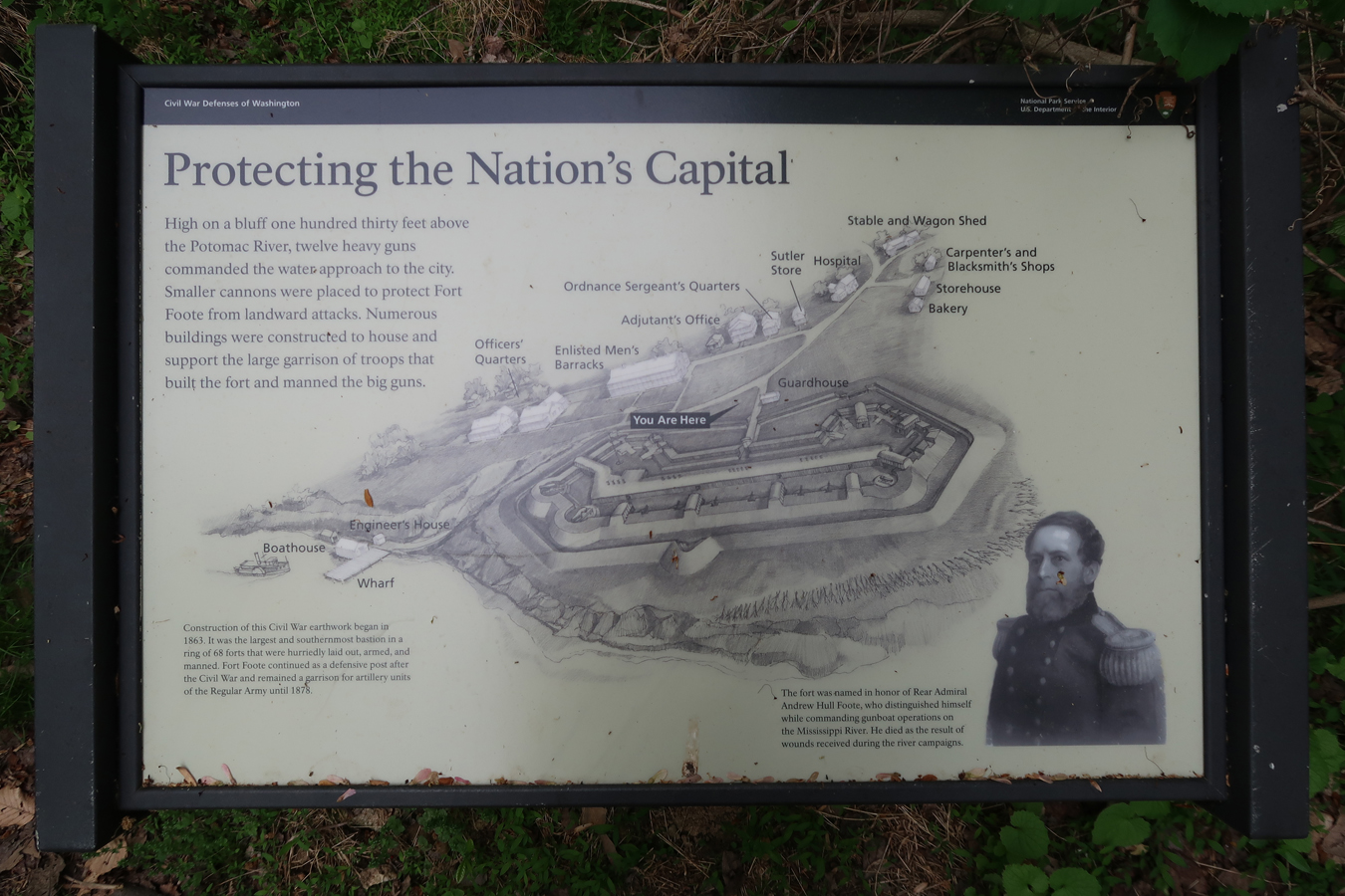
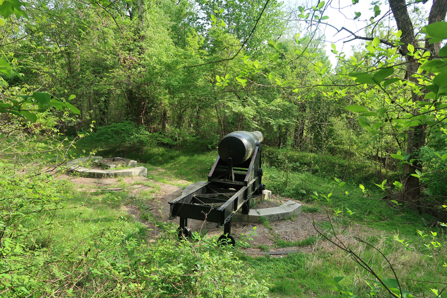
The trail goes through the fort parapets. The fort was 6-miles from the Capital, built on Rozier’s Bluff (MD), 100 feet above the Potomac River, with cannon able to shoot across the river into VA.


The fort was abandoned in 1878, except for two 15-inch Rodman Cannons. This is the first one I came upon.
This is the second one; the Potomac River can be seen in the background
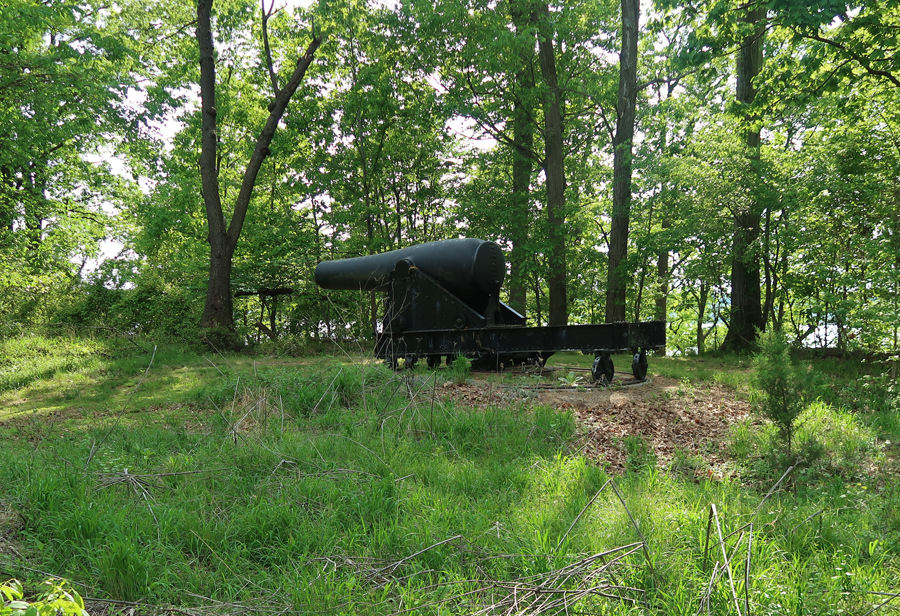
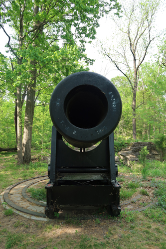
These cannons could shoot a 440-pound cannon ball three miles!

The date 1863 can be seen on the front of the cannon
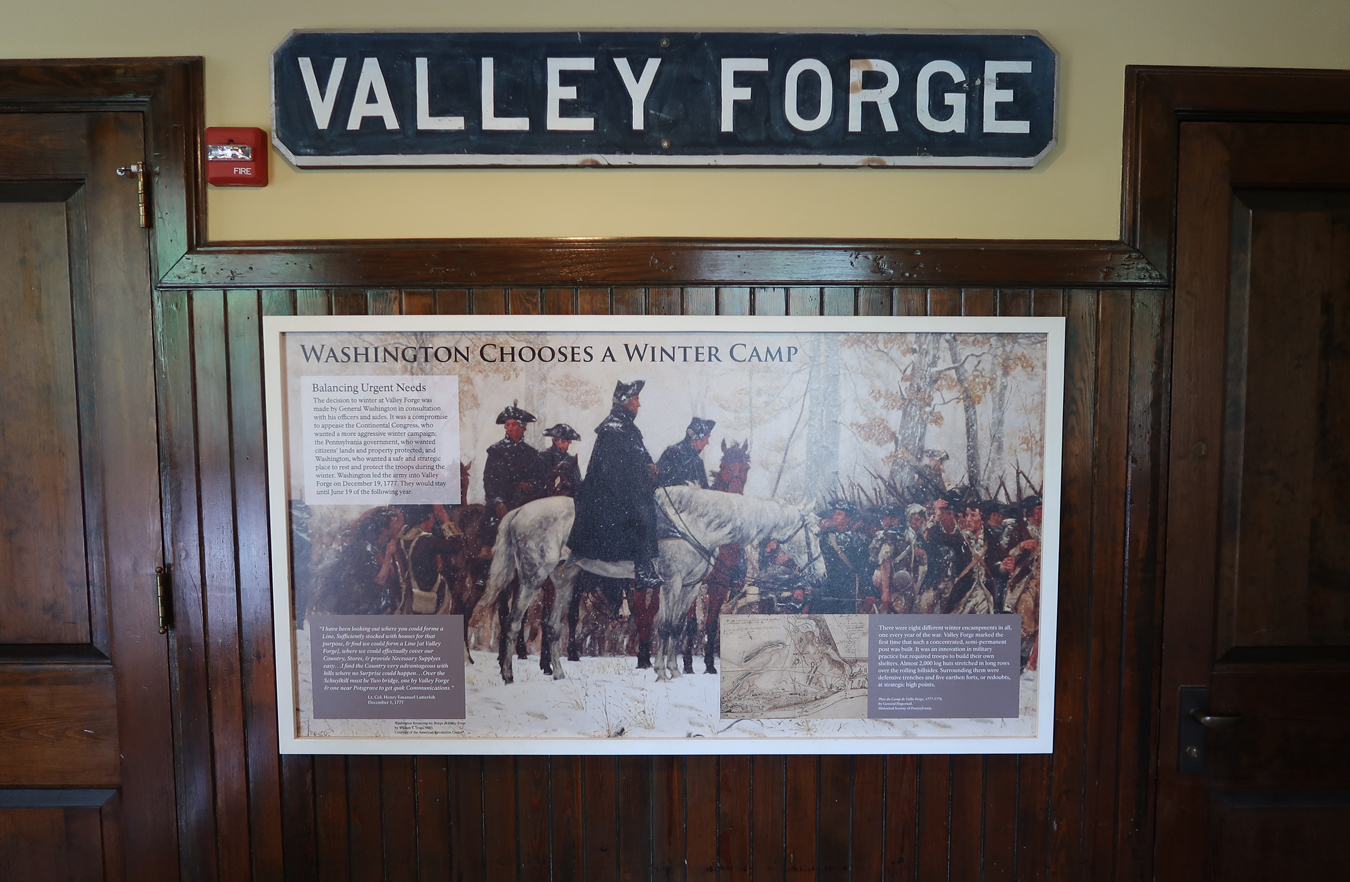
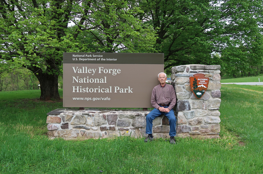
4/28/2019 – The drive from Glen Burnie MD to Valley Forge National Historical Park in southeast PA took 2.5hrs. I had visited here twice previously but could not find any pictures or records of those visits.
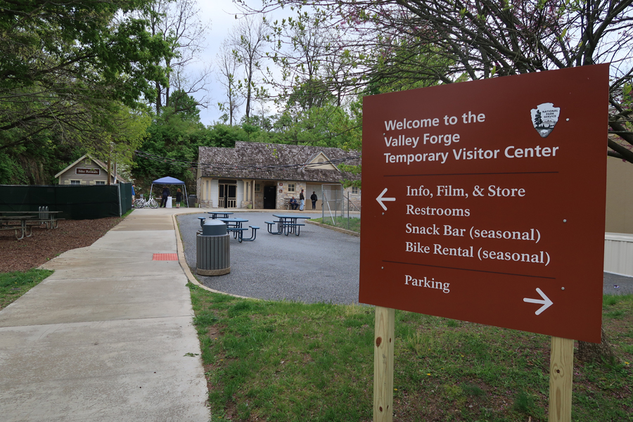
The Valley Forge Revolutionary 5-mile Run was taking place in the park when we arrived. So, we started our tour at the Washington Memorial Chapel and Carillon.
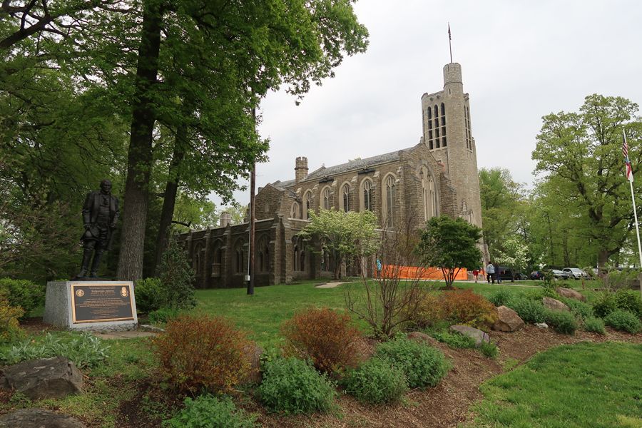
The Justice Bell was used in PA 1915-1920 to gain support for woman suffrage. It is a replica of the Liberty Bell with the addition of “ESTABLISH JUSTICE” on the bell. It was not rung until 1920, when women received the right to vote.

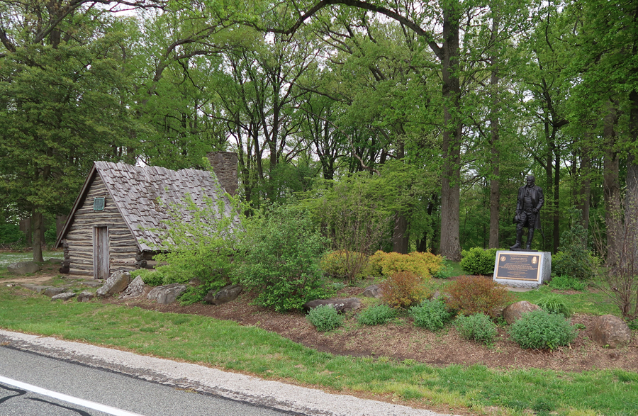
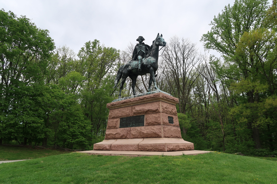
Monument to Nathanael Greene west of Chapel. He was the Quartermaster General at Valley Forge, Major General Continental Forces, and Commander of the Southern Army
Soldiers Monument with Maurice Stephens House in background

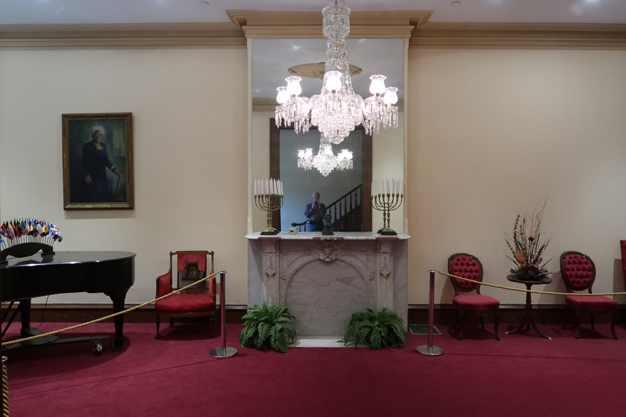
Our next stop was the Valley Forge Railway Station where we walked the Washington’s Headquarters area
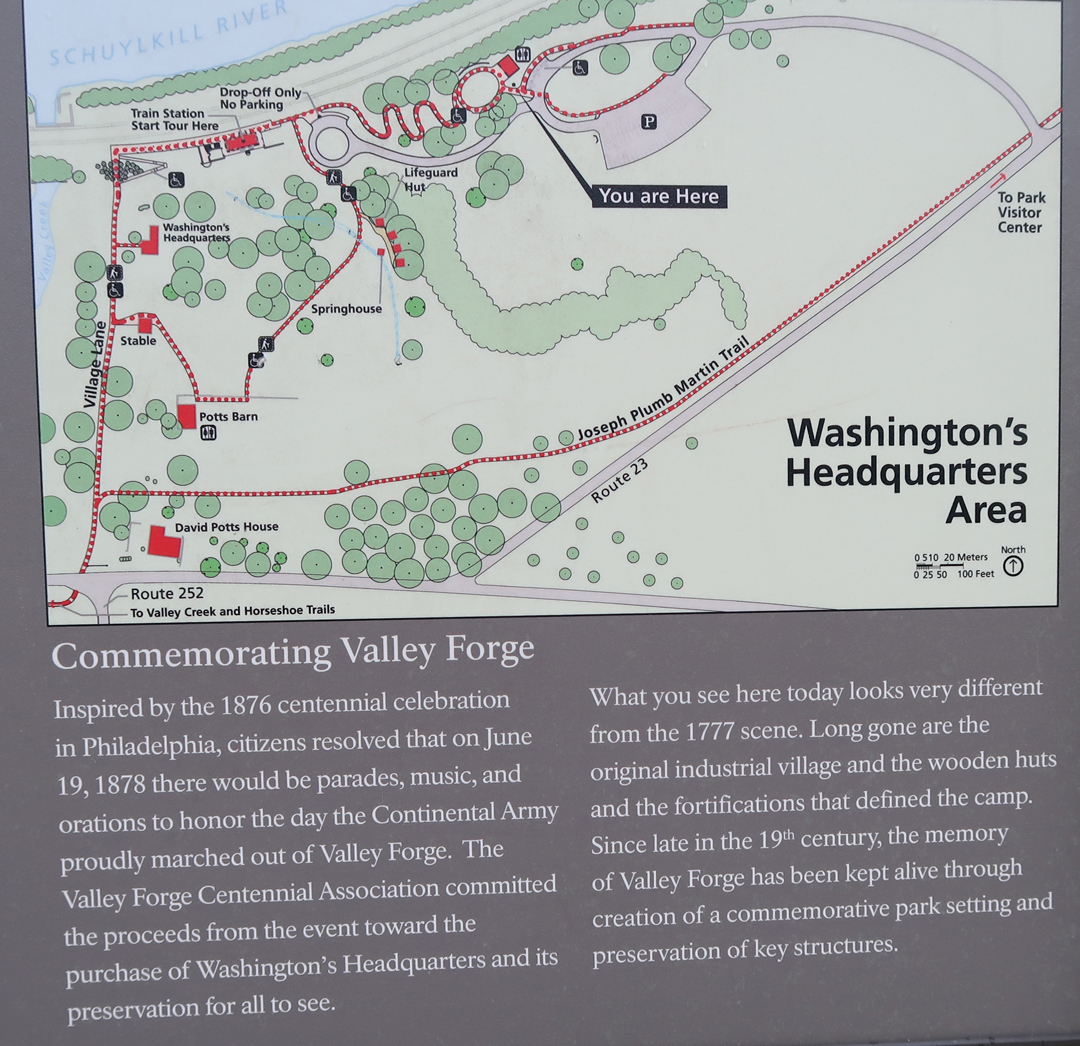
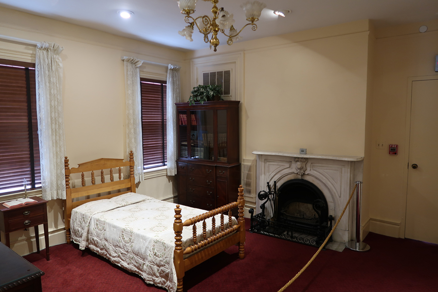
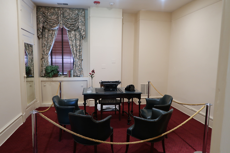
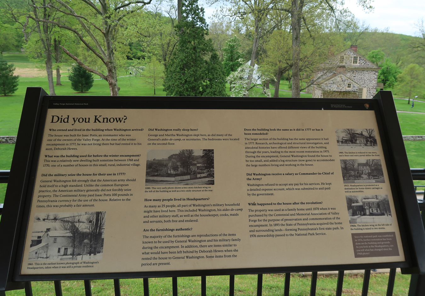
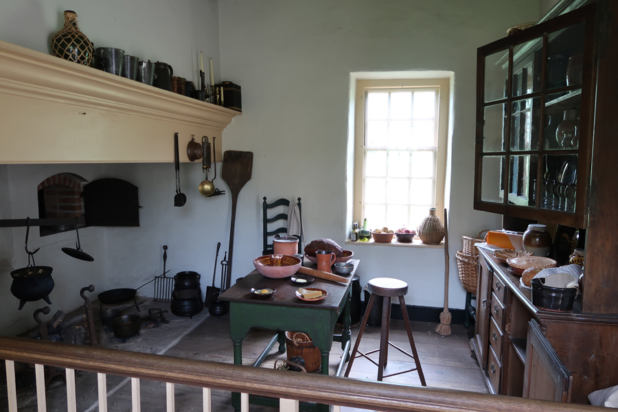
Washington’s Headquarters


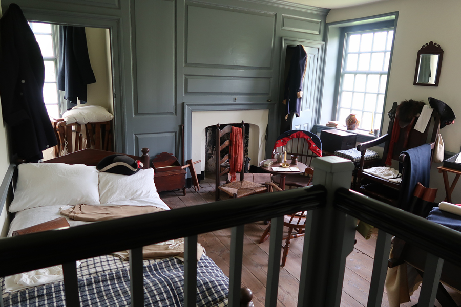
Rooms are furnished with period items


Washington’s Elite Guards resided nearby


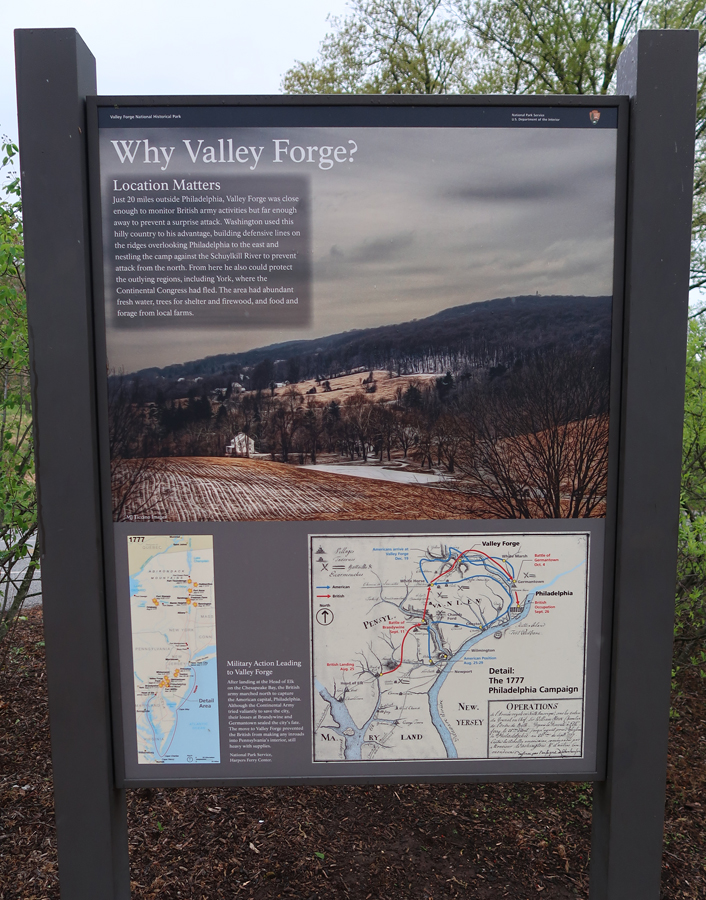
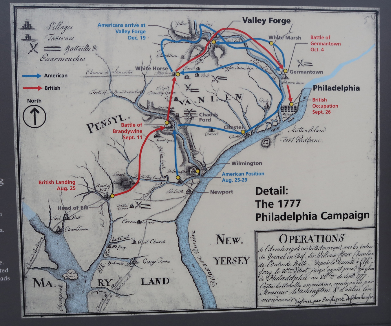
Why Valley Forge?
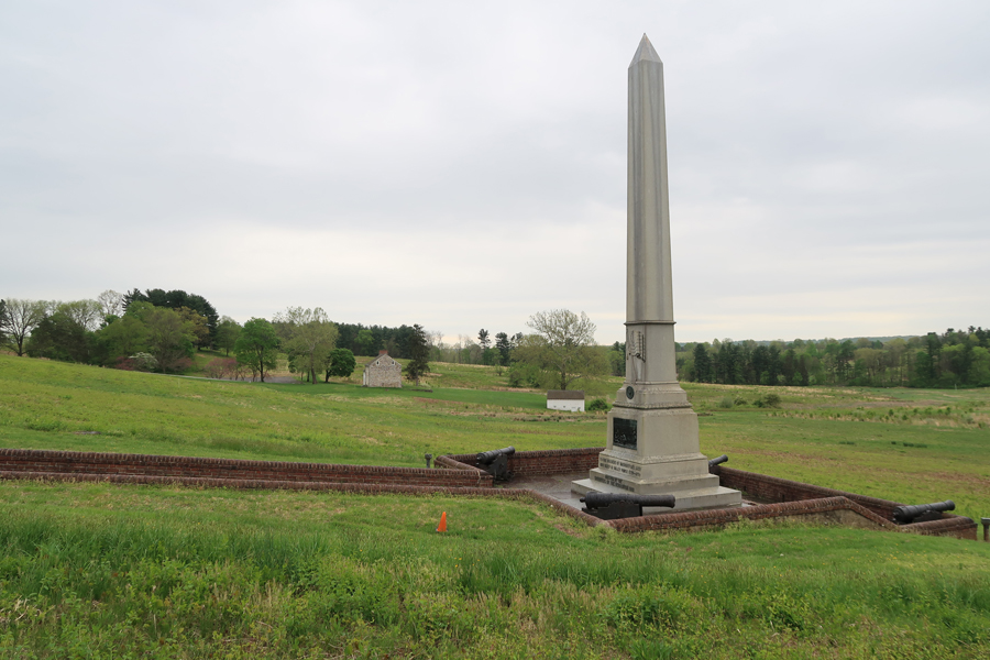
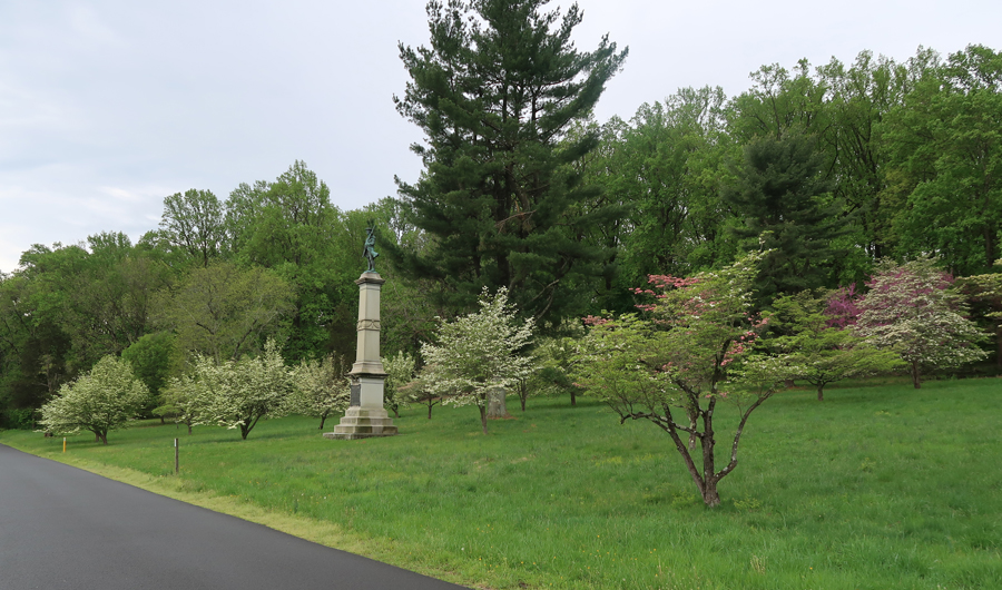
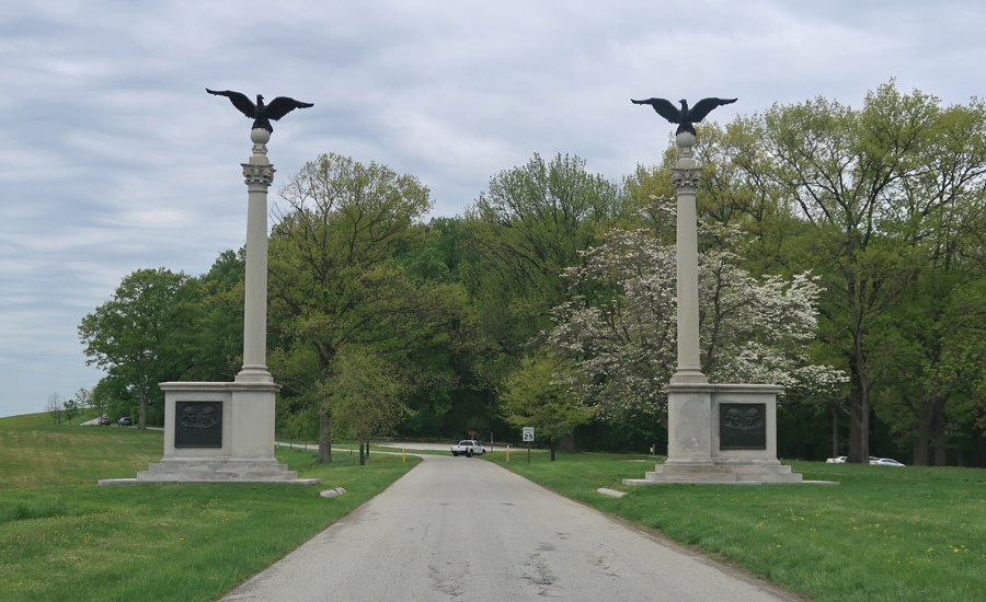
We drove both the Inner Line Dr and the Outer Line Drive stopping at many locations. Soldiers of New Jersey Monument
Artillery Park


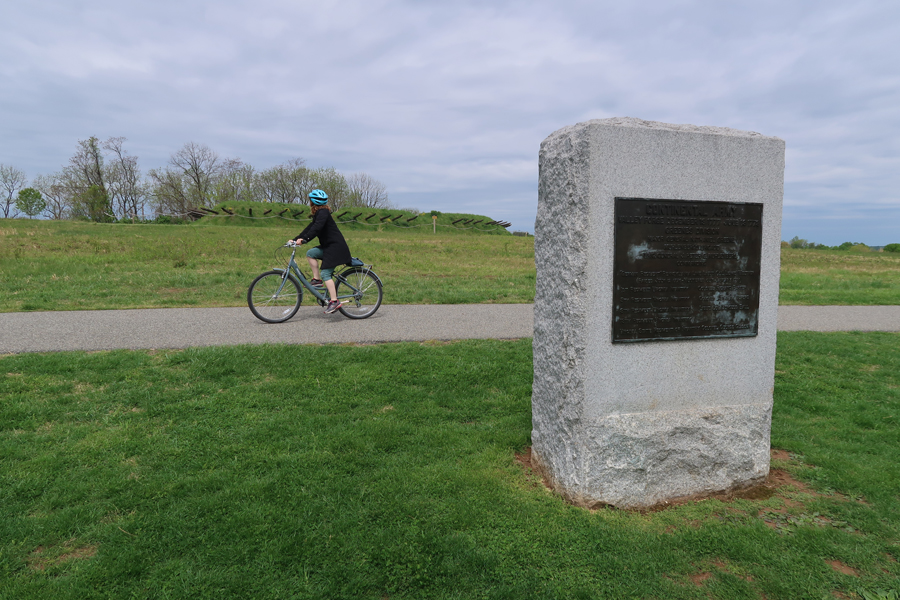
Monuments mark the location of various divisions, brigades, etc. Note the redoubt in the background as well as the cyclist. Bikes are a great way to tour the park.
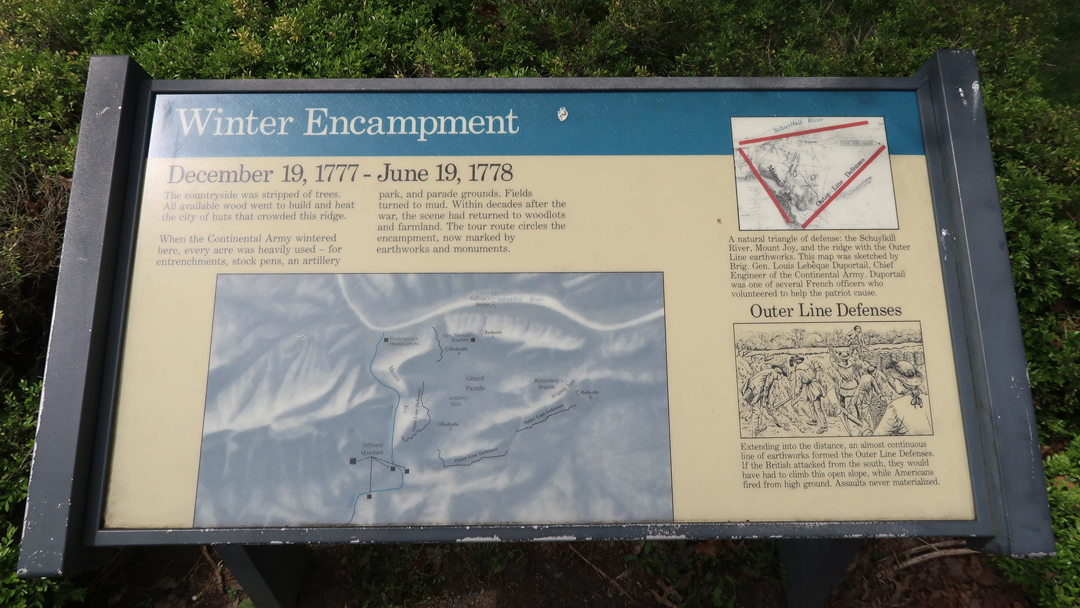
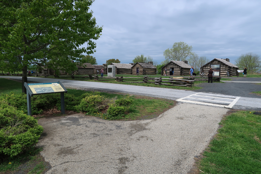
Winter Encampment 1777-1778


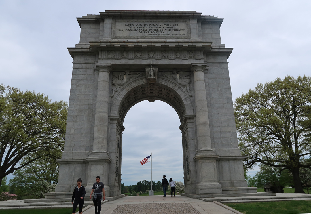
National Memorial Arch from east
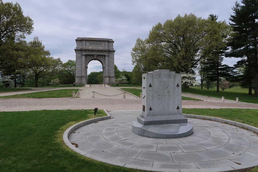
National Memorial Arch from west, note inscription
Entrance to Wayne’s Woods
Anthony Wayne, Brig. General Continental Army. He earned the nickname “Mad Anthony” because of his fiery personality. On August 20, 1794, he commanded the forces that defeated the Indian tribes at the Battle of Fallen Timbers, during the Northwest Territory Indian War (1785-1795). The site is located outside of Toledo OH and is an affiliated NP Unit.
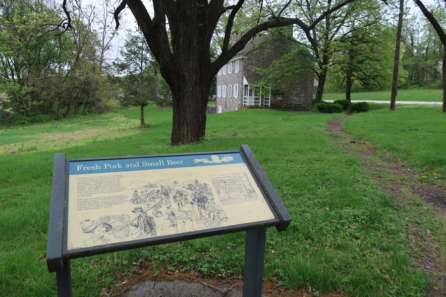
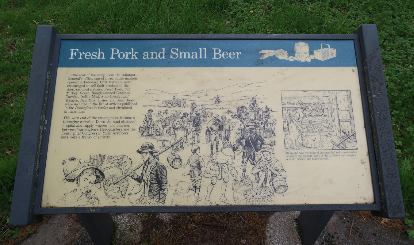
Too bad this place was not open; we were ready for some Fresh Pork and a Small Beer
Sign as we were leaving the Village of Valley Forge
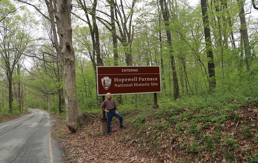
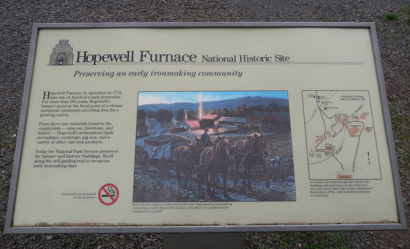
0.75hr on back roads took us to Hopewell Furnace National Historic Site
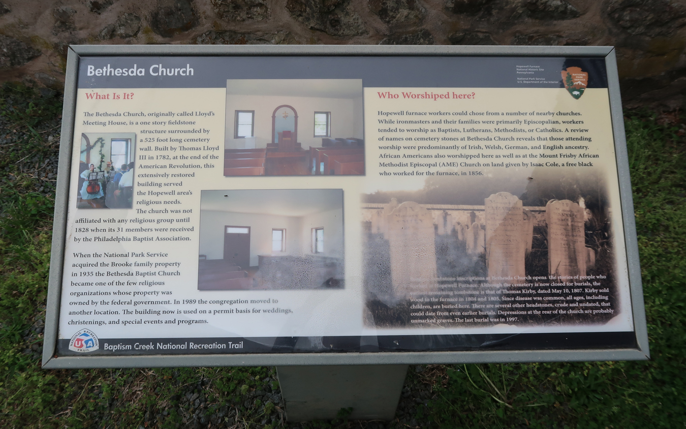
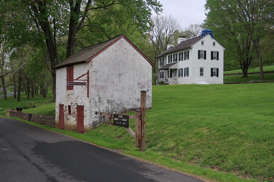
Our first stop was Bethesda Church

Mule Barn and Church House at Rt 345 and Hopewell Road
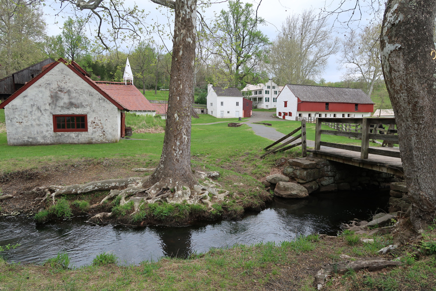
Hopewell Furnace is in the Schuylkill River Heritage Area

Pictures depicting Hopewell Furnace

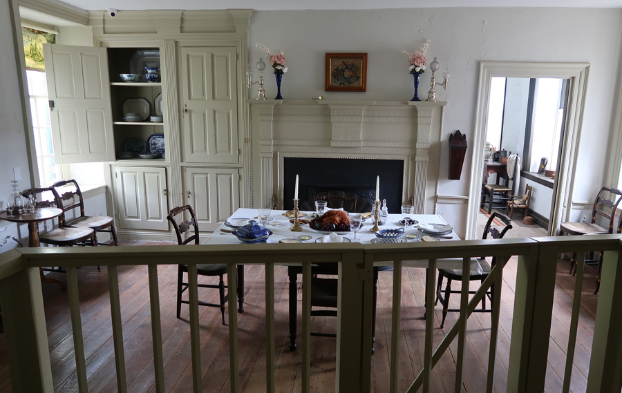
Ironmaster’s Mansion – built 1770-1780, note Helen on left side of mansion


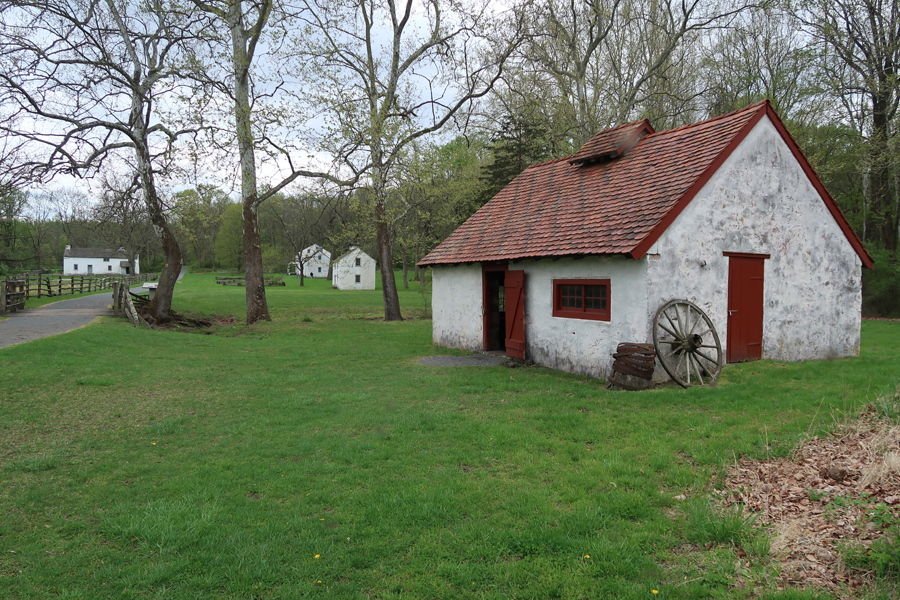
Barn, which sheltered 36 draft animals and a year’s worth of feed, and Office Store where workers made purchases charged against their work.

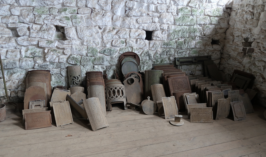
Cast House surrounding the Furnace. Note cannon and pig iron by door. From 1775 to 1778 Hopewell made iron cannon, shot and shell for the Revolutionary War.
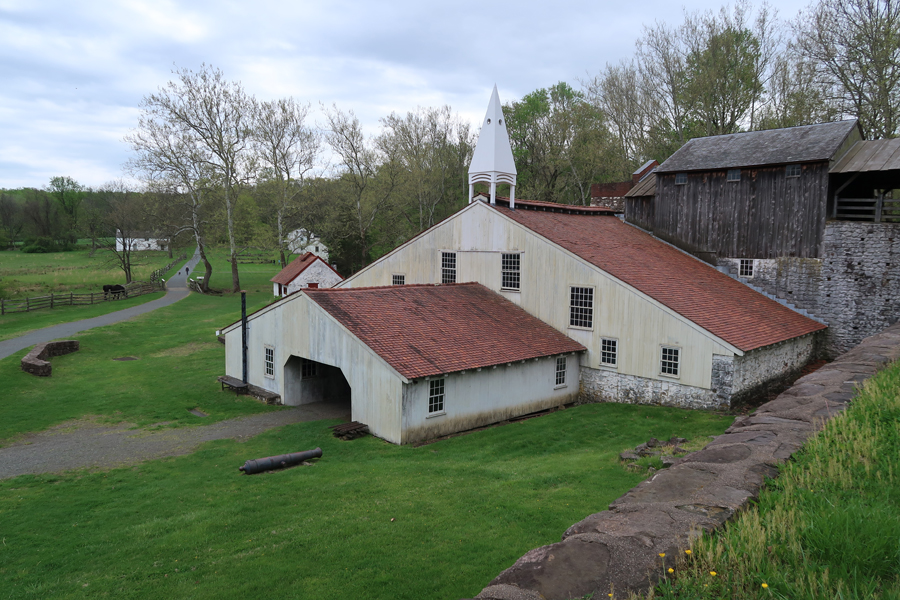


Moulders also cast iron into stove plates and other products
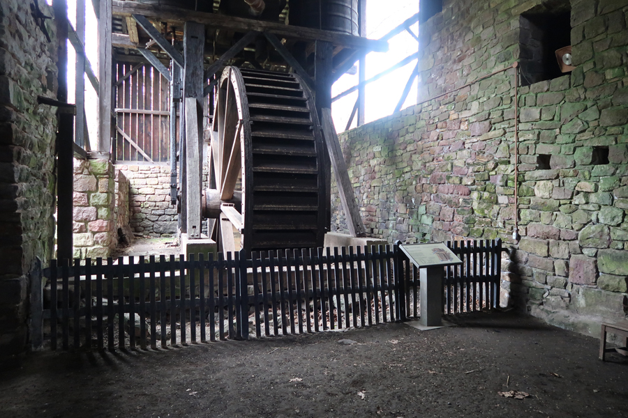
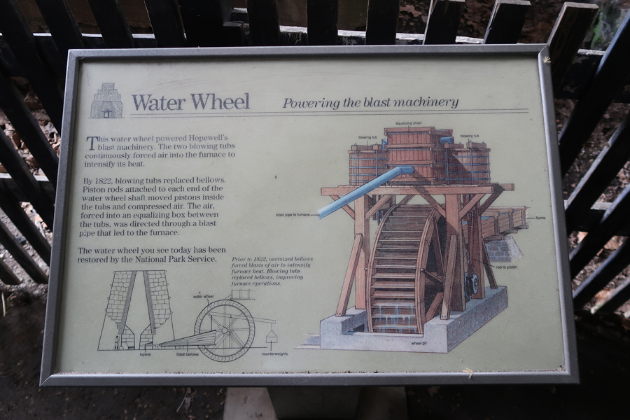
A Waterwheel provided power to run the billows for the furnace. A blast or air was needed to raise the heat in the furnace above 2800 degrees Fahrenheit for iron production. Iron ore (3 mines in the area), Limestone (plentiful), and Charcoal (lots of trees were needed to make it) were needed to produce the iron.
Blacksmith Shop, Tenant Houses and Boarding House in distance

Looking back toward main buildings
Iron products displayed in Visitor Center


7.5hrs from Hopewell Furnace NHS to Springfield
