
BLM Sites and Fort Stanton-Snowy River Cave NCA in NM
November 16, 202511/12/25 W – 3:30p flight from Dayton to El Paso, rented a GMC Sierra 4WD pickup and stayed in the Sunland Park Inn (Best Western). I bought snacks and drinks to prepare for my three-day trip.
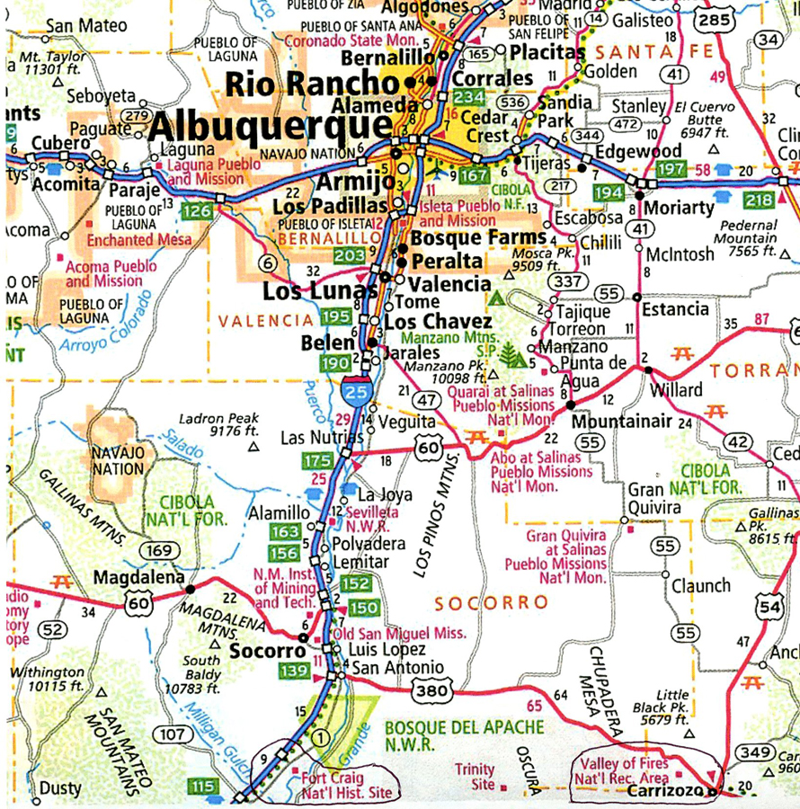
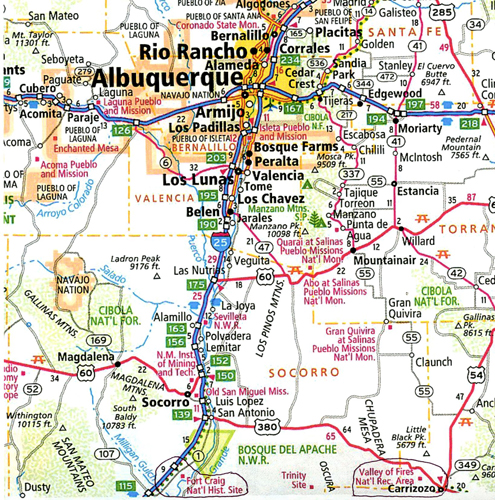
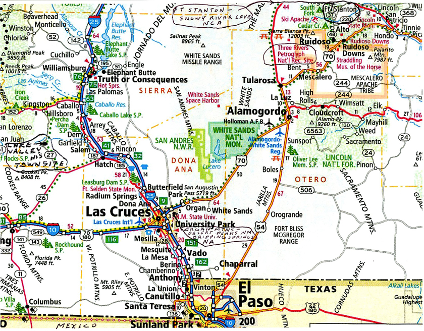
11/13 Th – left at 7am in order to get to a Subway in Alamogordo NM at 8:30a when they opened. I bought a foot long Chicken Teriyaki Sub, so as to have an easy lunch for the next two days. Four of my six destinations are indicated on this map.

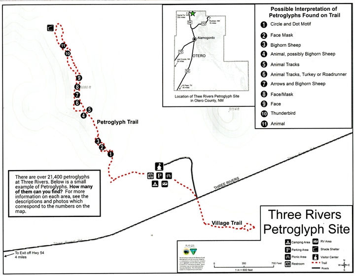
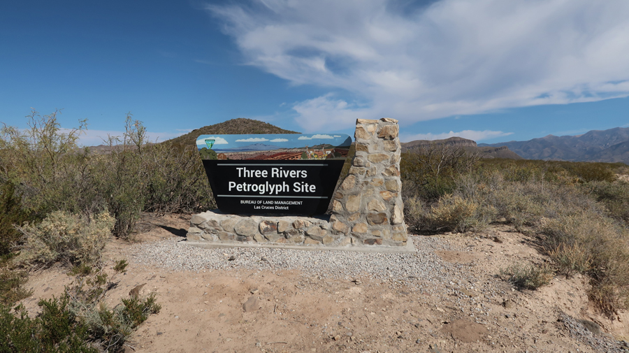
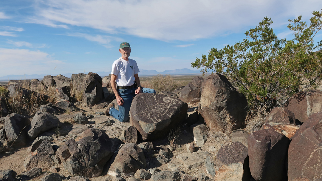
An hour drive north on US-54 got me to the BLM Three Rivers Petroglyph Site.
.
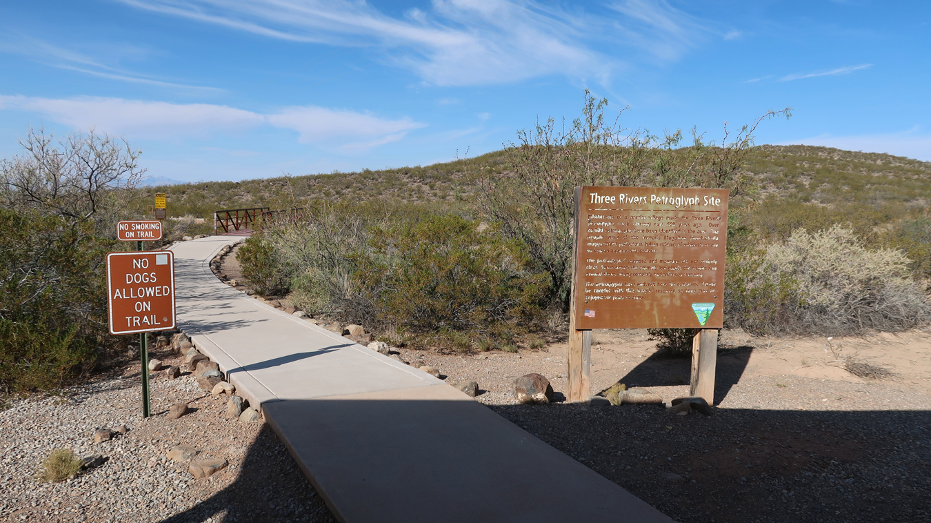
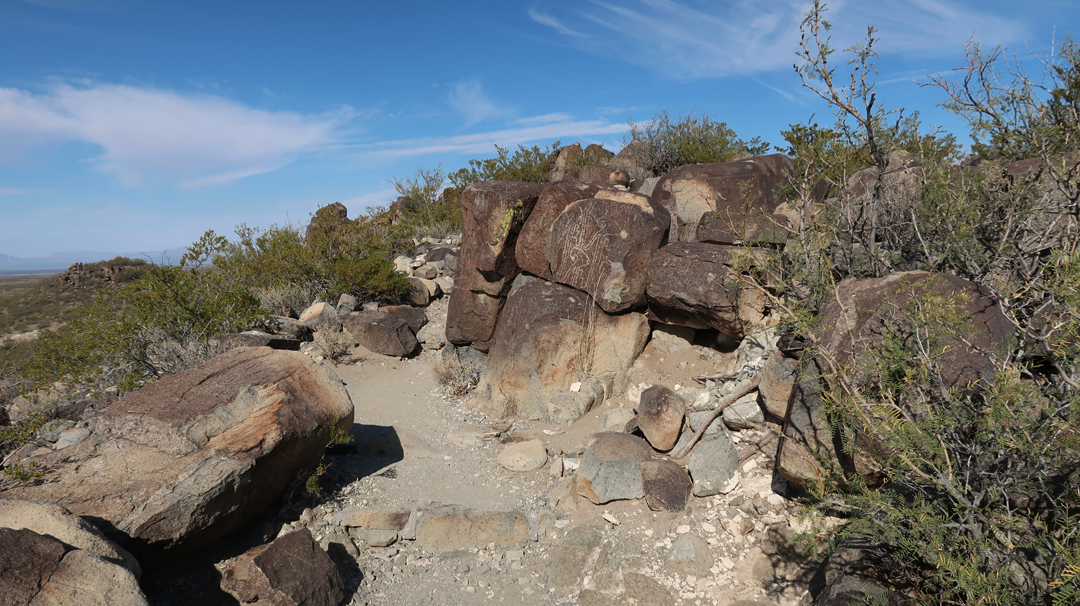
The Petroglyph Trail is a bit rugged and about two miles roundtrip.
Rattlesnake Caution and the definition of the word Petroglyph –
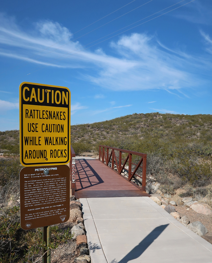
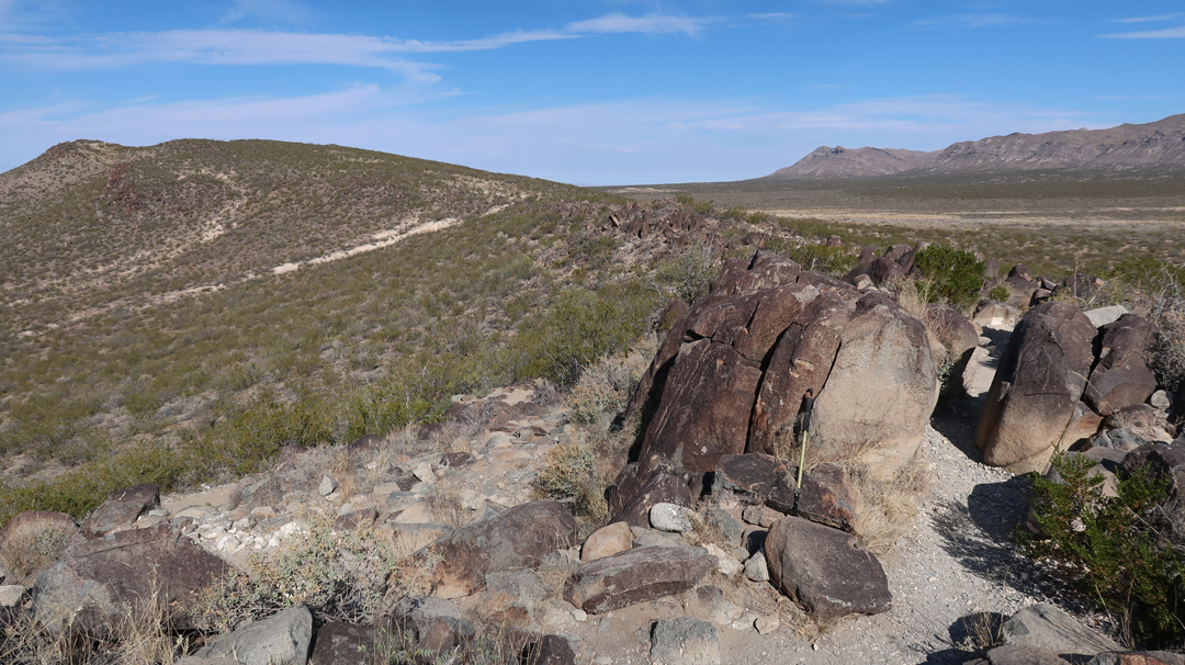
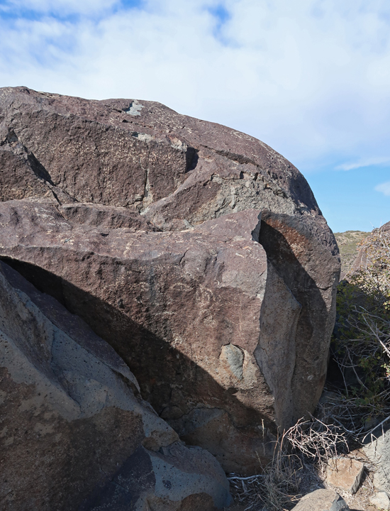
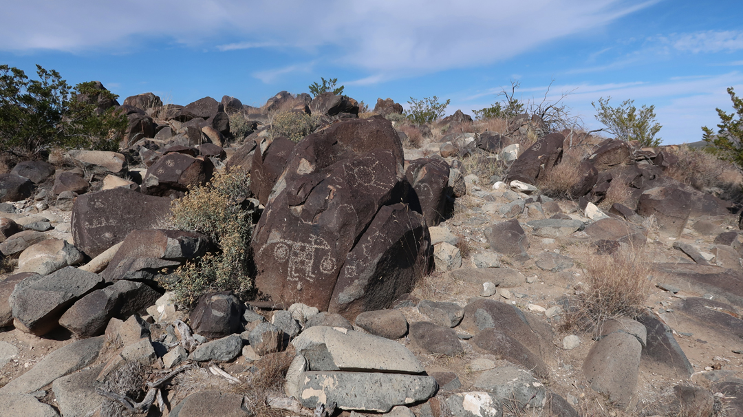
Trail goes up to and follows a ridge meandering through boulders.
.
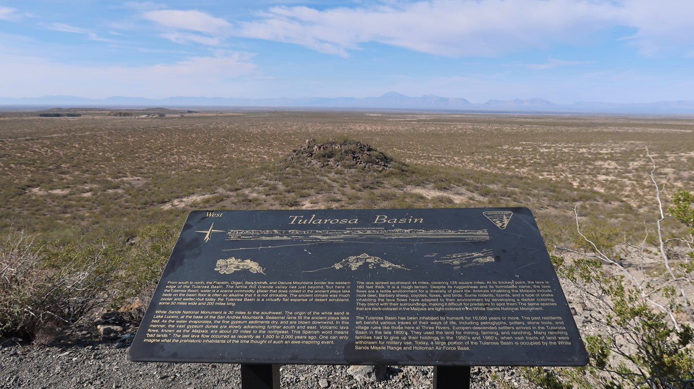
Tularosa Basin – enlarge to read
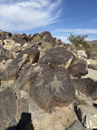
Bighorn Sheep (left), bent knees indicate motion
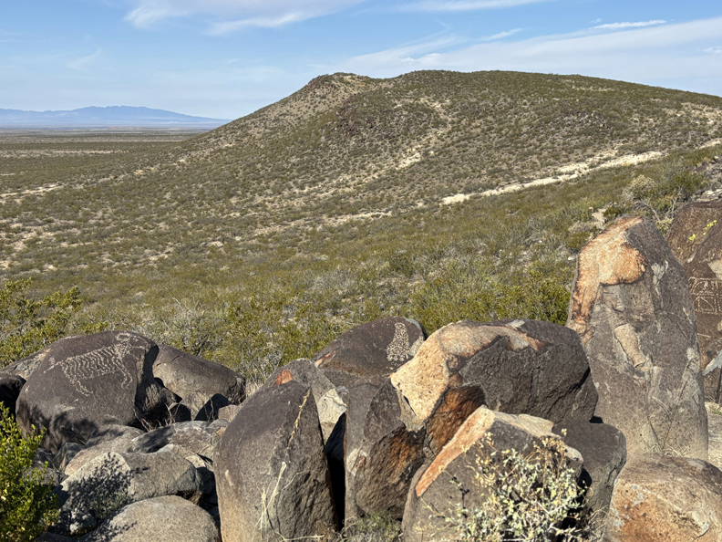
Body of a Bighorn sheep filled with Mimbres-style geometric designs and pierced by three arrows.
Can you find the round face with almond shaped eyes and earrings?
There are more than 21,000 petroglyphs in this area!
.
The remains of a Mogollon village is near the parking lot. It is thought that the inhabitants of the village created the rock drawings more than six hundred years ago.
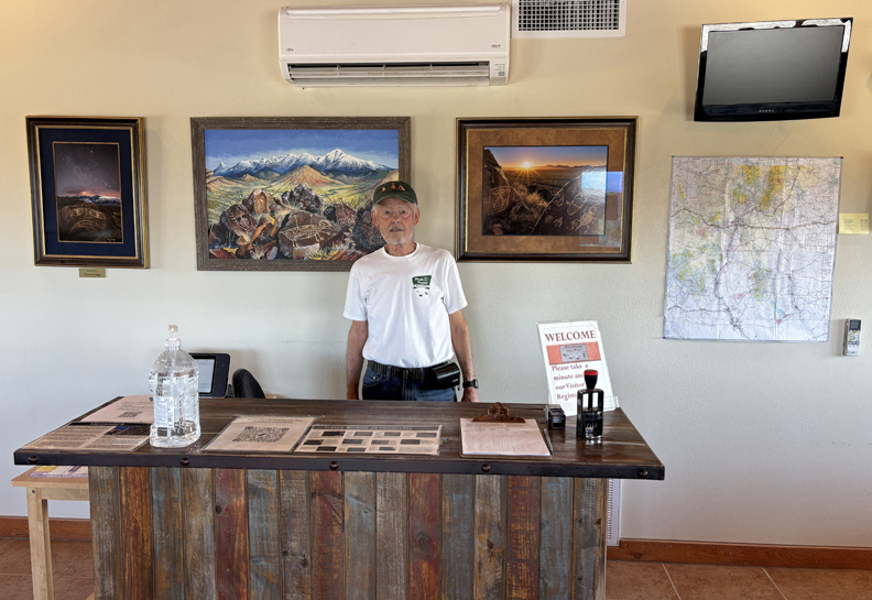
The 43-day government shutdown ended today – so, the information center was open!
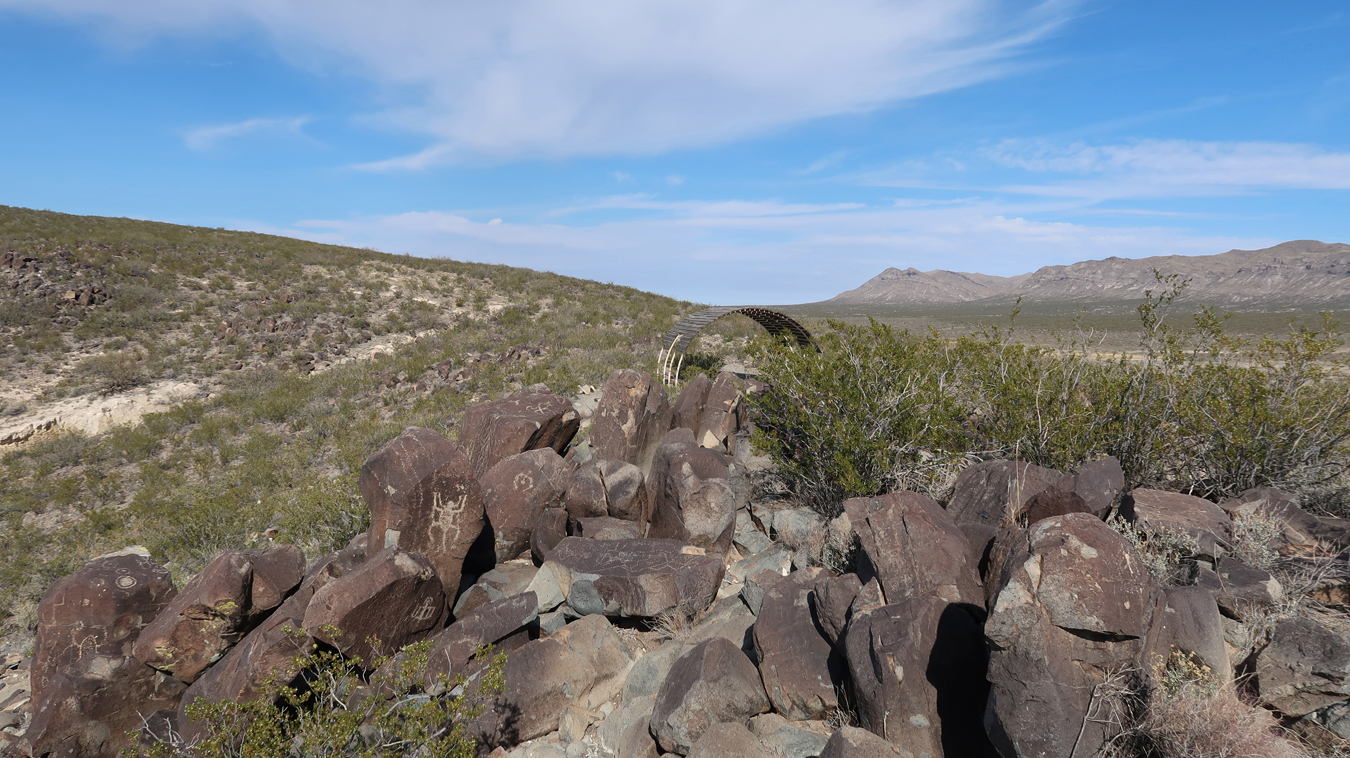
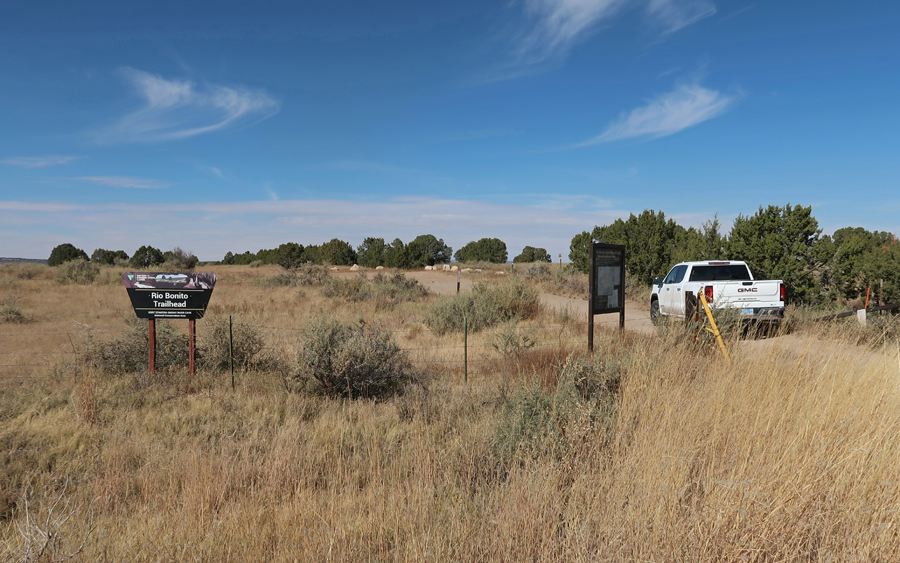
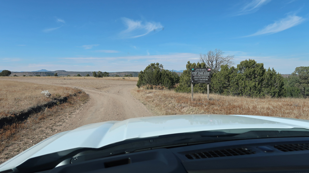
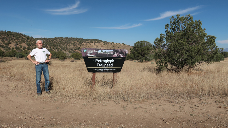
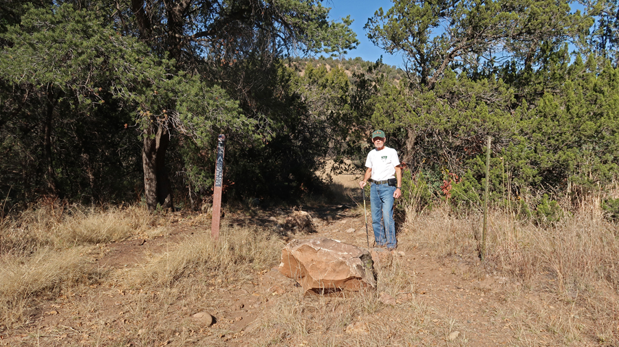
1.25hr (64mi) to Rio Bonito Petroglyph National Recreation Trail in Fort Stanton – Snowy River Cave NCA BLM. Trailhead (TH) is located in the lower left of the map.
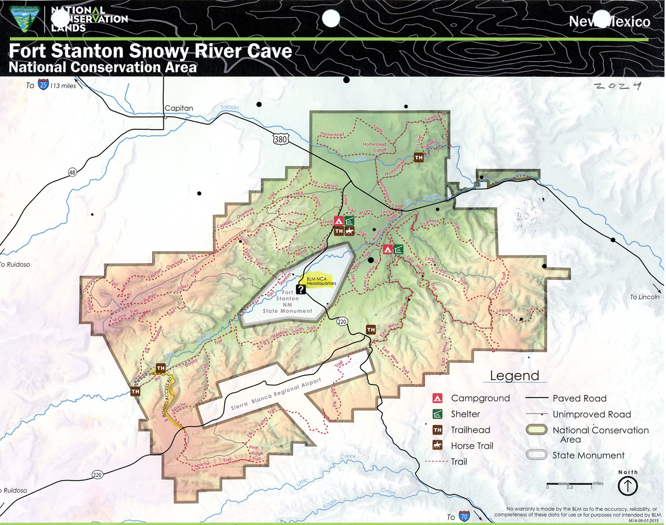
Turned N onto the Rio Bonito Access Rd for about a mile until switchbacks dropped you down to the river. You definitely need a high clearance 4WD vehicle on this track.
.
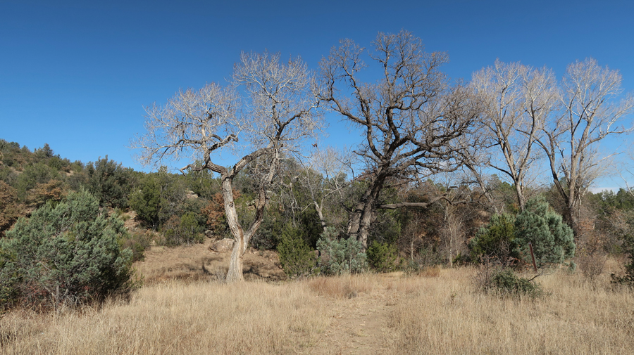
Description – “Trail is 2.5mi loop running up the river from the trailhead. There are cottonwood, walnut, and oak trees. . . The trail passes up and downhill over and along natural contours, including a primitive bridge, loose rocks, and some rocky segments that require rock scrambling.”
.
.
.
.
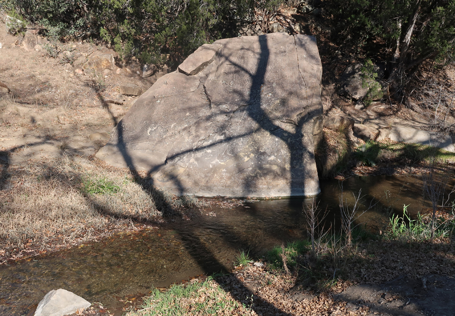
“At the midpoint is Petroglyph Rock in the riverbed (images of native Water God).” Later, a ranger at the fort told me someone had painted graffiti on the rock, and it was cleaned off but it made the “Water God” hard to see.
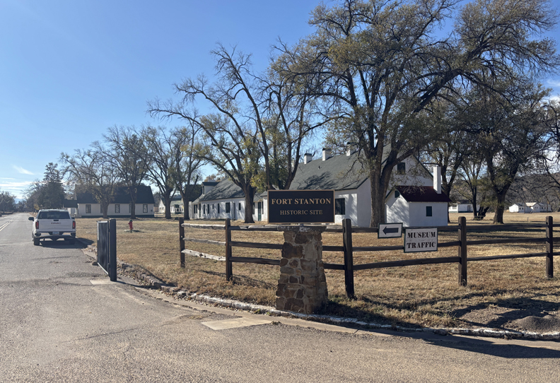
Once back to the road, it only took 15-min to get to Fort Stanton SP (240-acre site with 88 buildings).
.
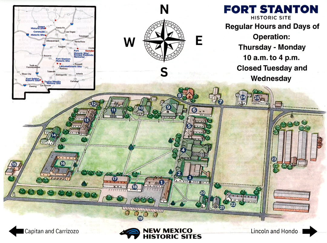
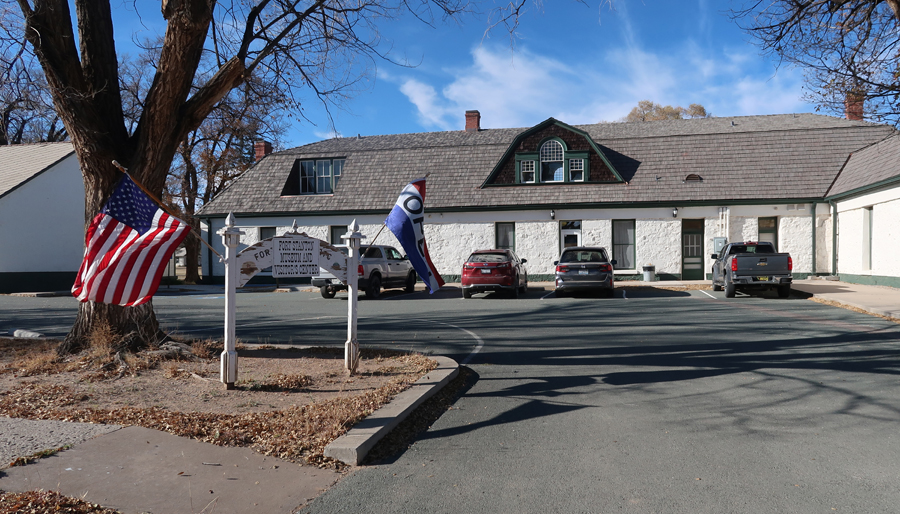
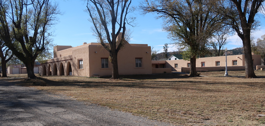
In 1855 Captain Henry Stanton was killed as he led soldiers in pursuit of a band of Mescalero Apache. In response, the Army built a fort, the same year, to protect settlers. They named it Fort Stanton. It is one of very few intact frontier forts in the West. This is the Visitor Center.
.
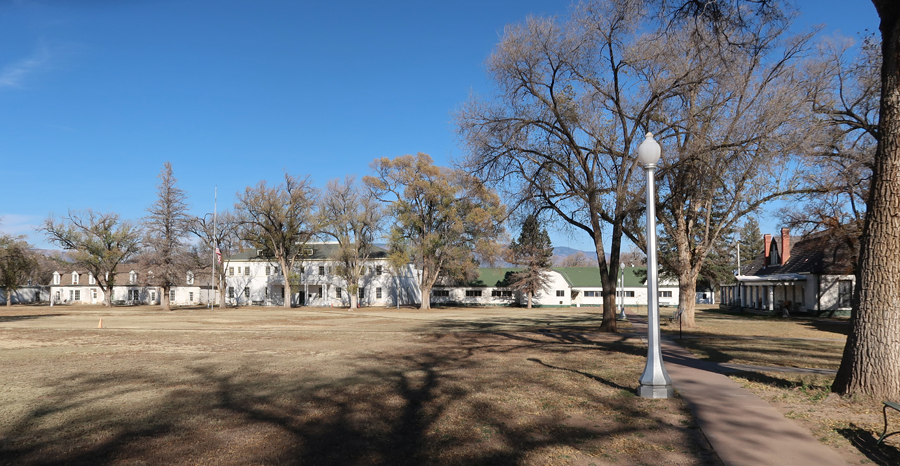
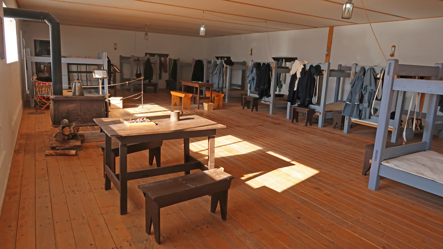
The fort had many missions between 1855 and 1953 when the State of New Mexico took ownership. The flagpole is in front of Barracks/Dining Hall.
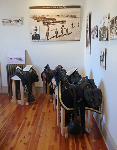
The fort hosted the 9th and 10th cavalry, the 24th and 25th infantry Buffalo Soldiers, Billy the Kid, Colonel Kit Carson, and General “Black Jack” Pershing. It was a prisoner of war camp during World War II.
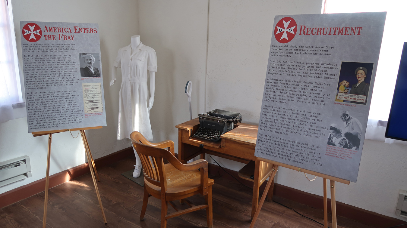
From 1899 to 1953, the fort served as a Tuberculosis Hospital for the U.S. Merchant Marine.
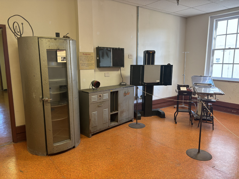
The Nurse Quarters was built in 1940-41
.
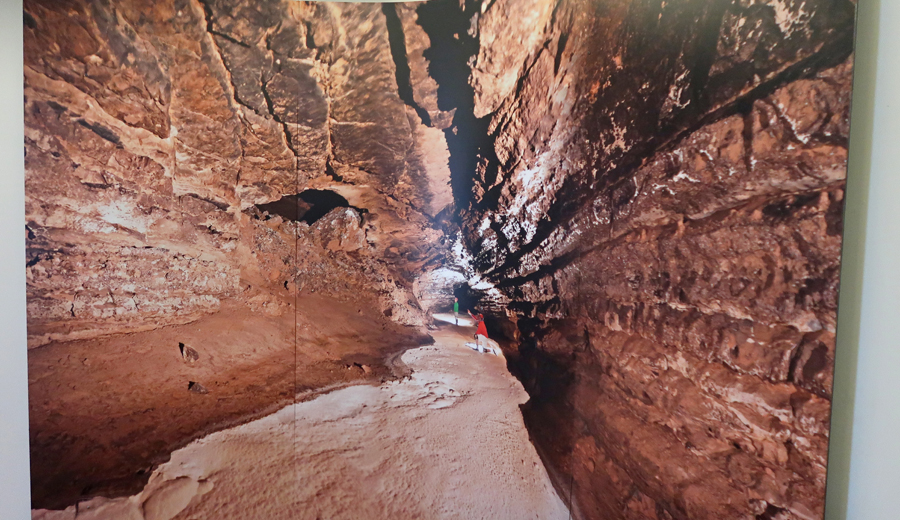
Unfortunately, Snowy River Cave is not open to the public.
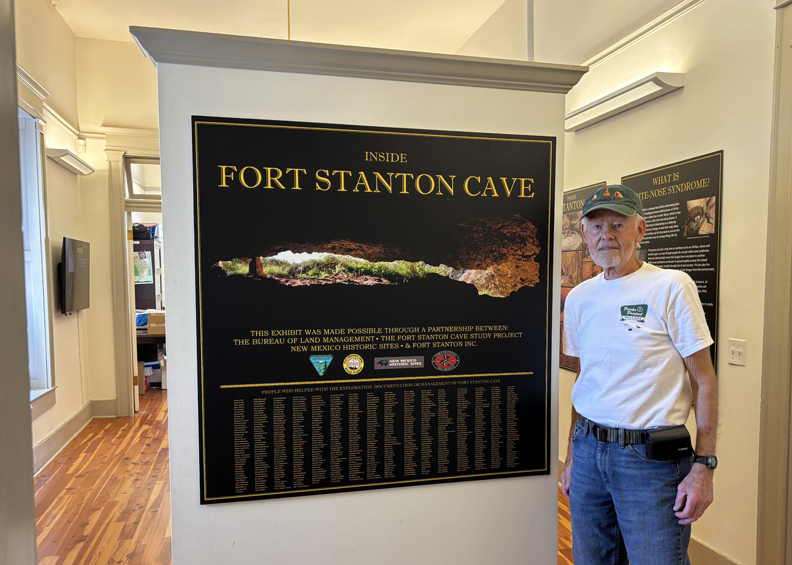
In 2001, the 11.7-mile Snowy River Passage was discovered. The floor of the passage is covered with white crystalline deposits of calcite that glisten like snow. It is the longest Calcite formation in North America.
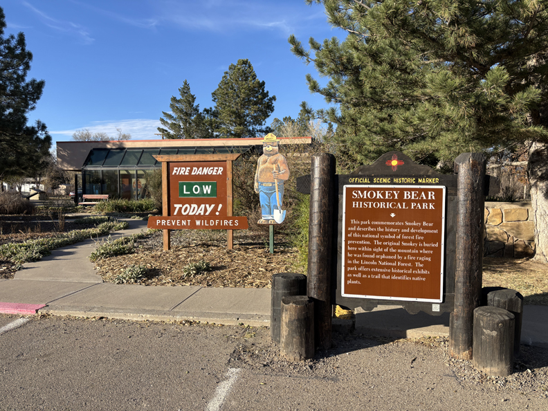
After leaving the NCA, I made a stop at the Smokey Bear Museum in Capitan NM. Read the sign for the story of “Smokey the Bear.”
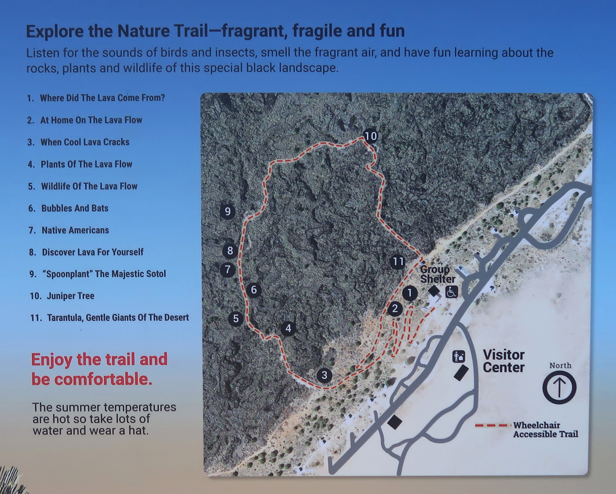
A half hour further west on US-380 is Valley of Fires National Recreation Area (NRA), administered by the BLM. It is just W of Carrizozo NM. See the bottom of this map –
I did the 1-mile, self-guided, paved Malpais Loop Trail –
.

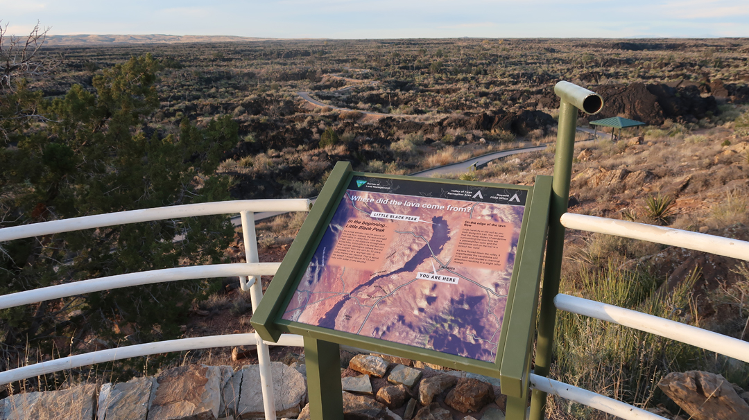
Little Black Peak can be seen through the viewing tube and is probably the last vent that opened adding lava to the lava flow.
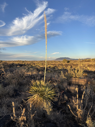
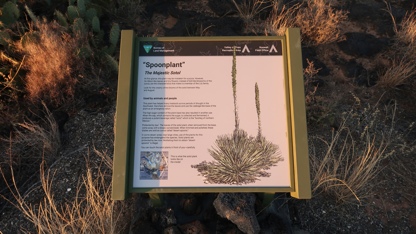
Spoonplant –
.
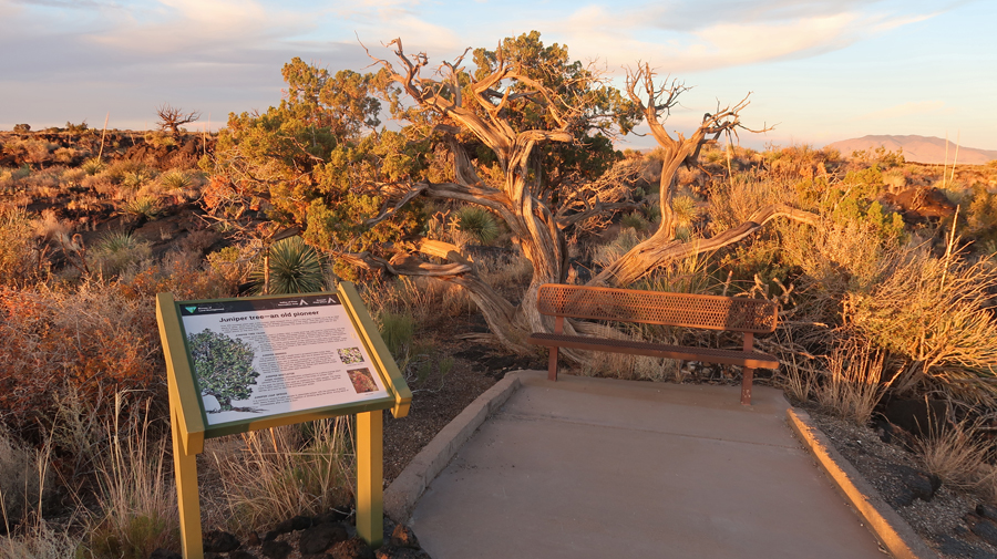
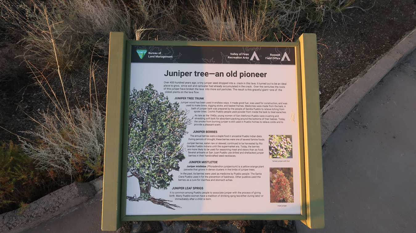
Juniper Tree
.
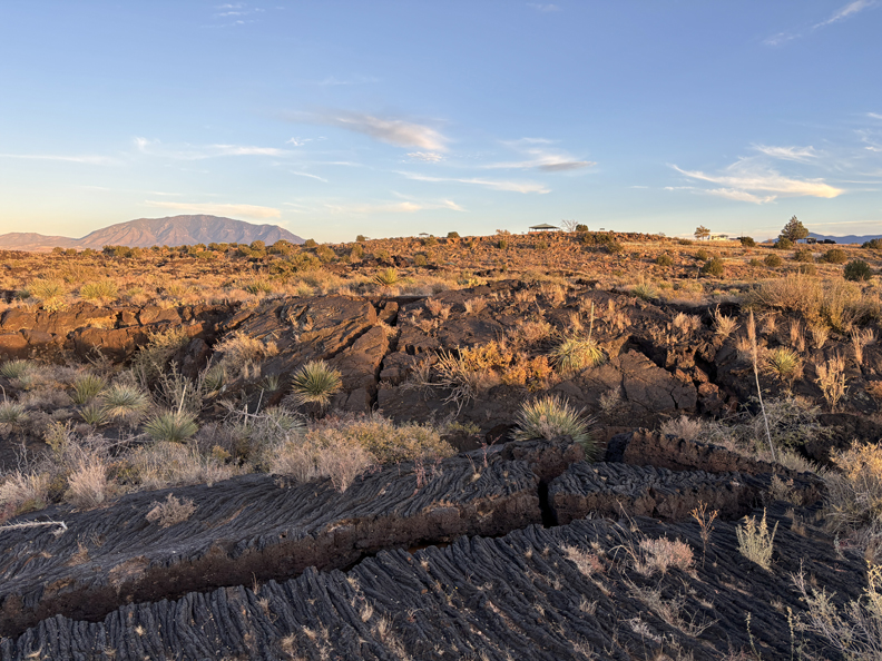
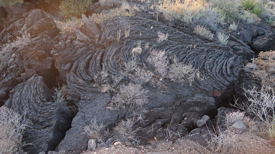
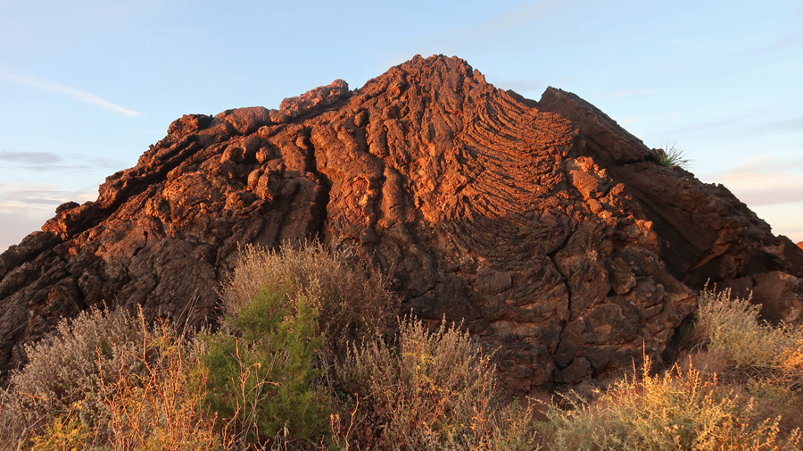
The Carrizozo Lava Flow, over the Tularosa Basin, is 44-miles long, 4 to 6-miles wide, and 160ft thick in the center. Lava folds –
.
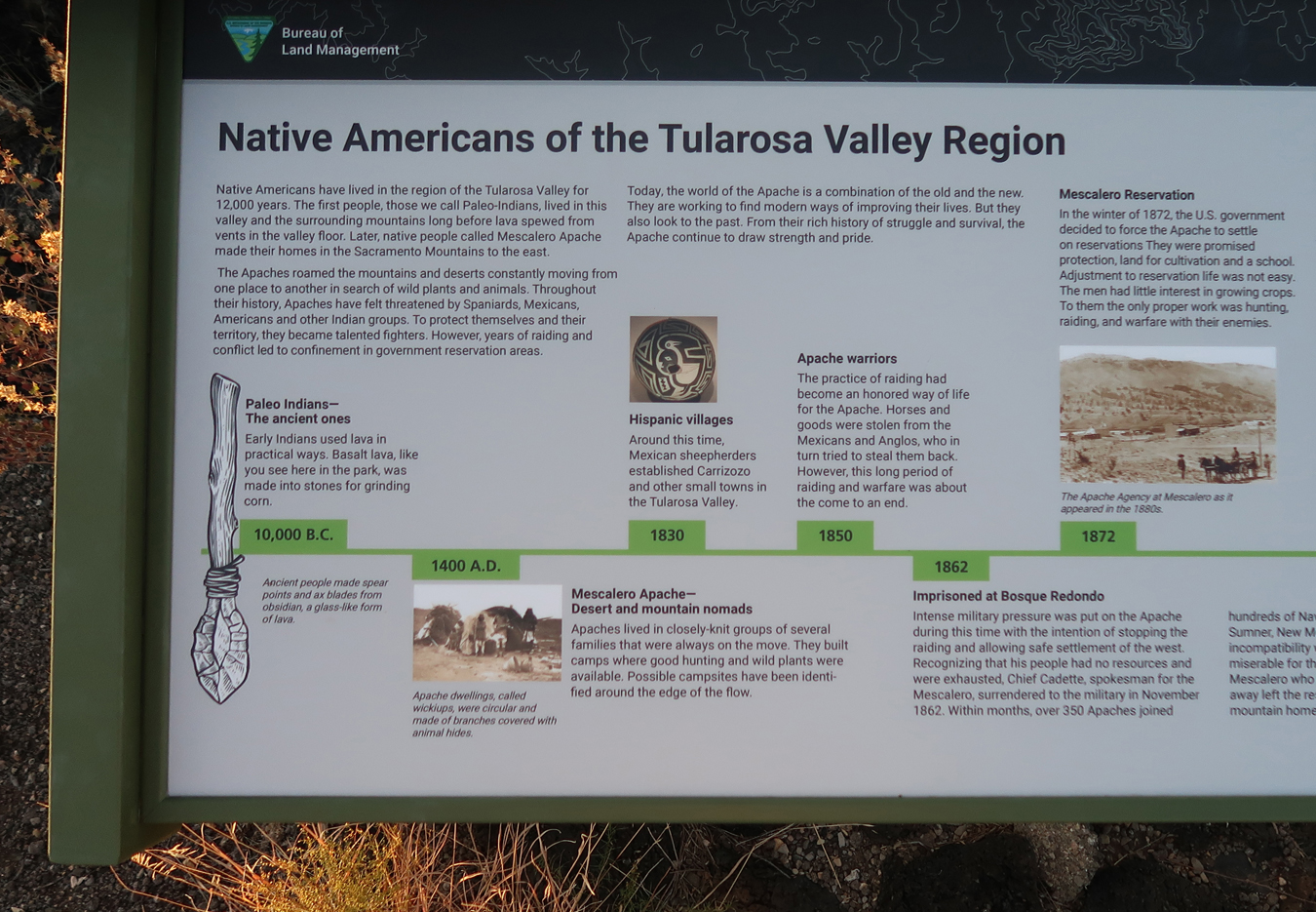
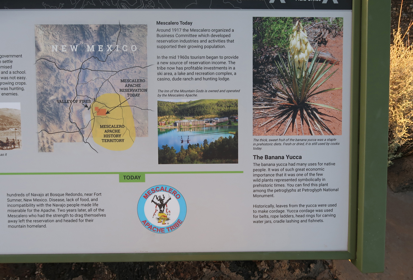
Tularosa Valley History –
.
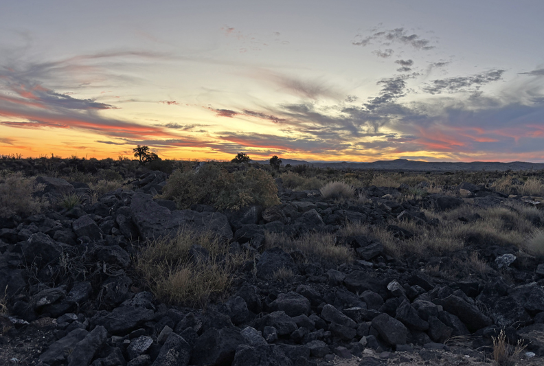
Finishing the trail, as the sun sets –
Sunset across the desert –
75-miles to the Best Western in Socorro NM
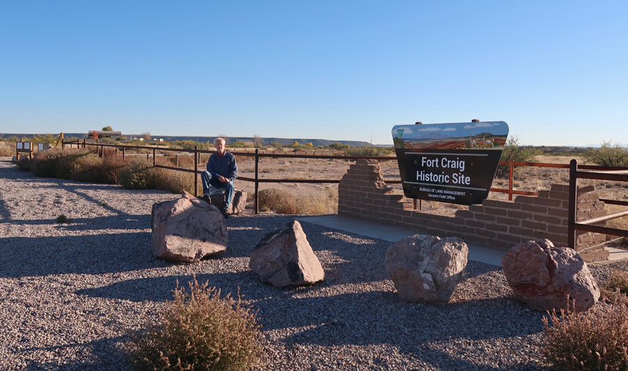
11/14 F – I decided to stop at Fort Craig NHS, which was on the way, but not on my itinerary. I had visited this NHS in April 2022 – see Blog. See bottom map –
.
.
.
This fort was built to protect settlers and guard the El Camino Real de Tierra Adentro Trail between Mexico City and Sante Fe. Note, Fort Stanton is also included on this map.
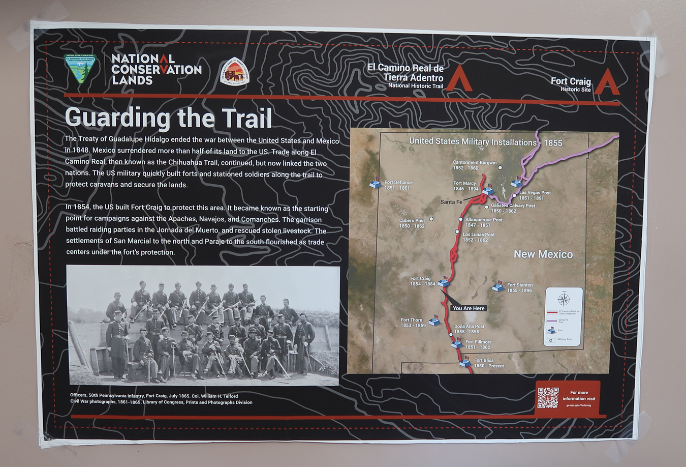
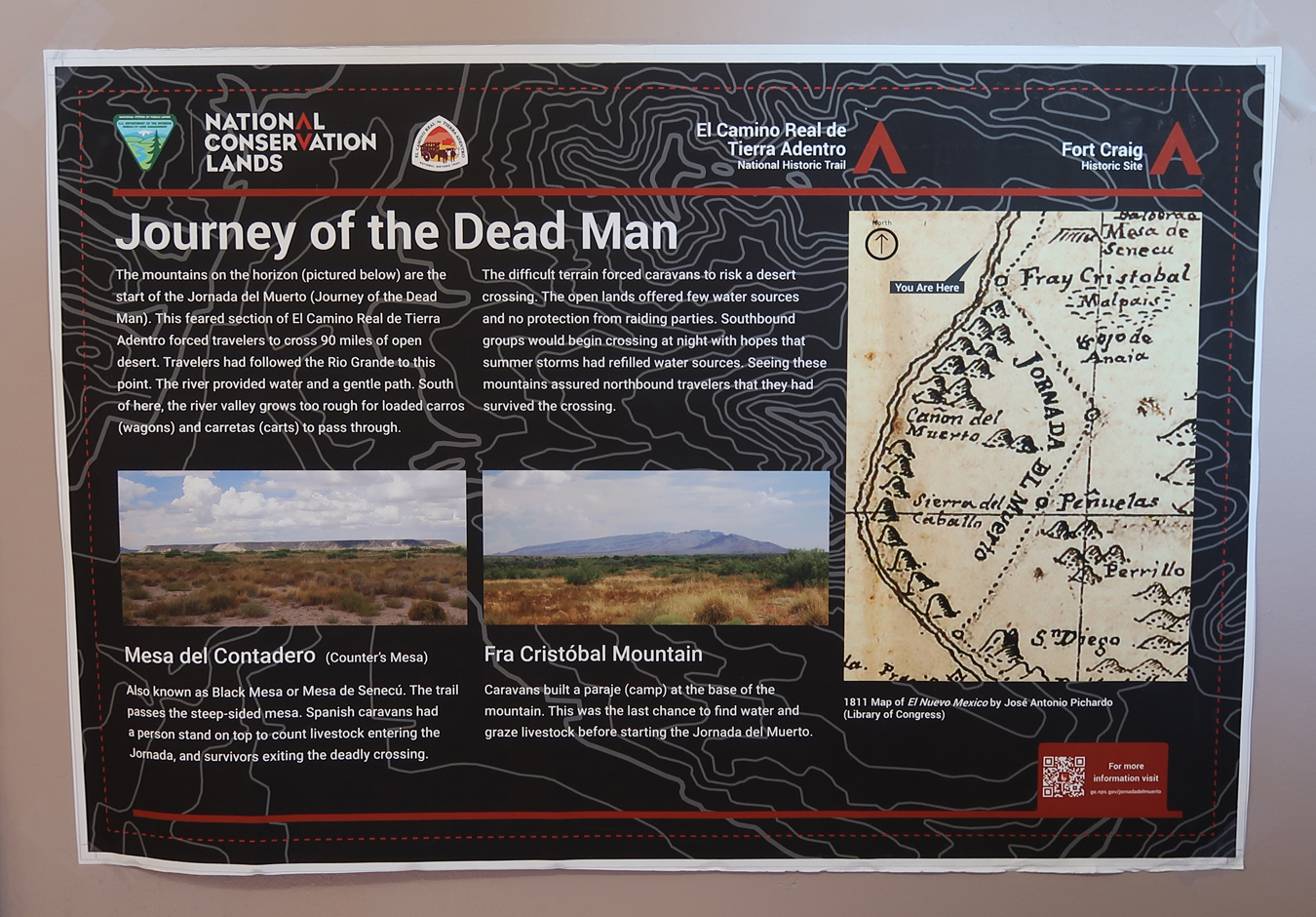
“Journey of the Dead Man” – a 90-mile desert segment of the El Camino Real de Tierra Adentro.
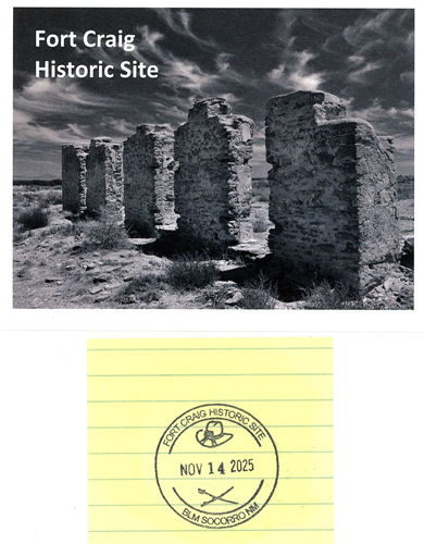
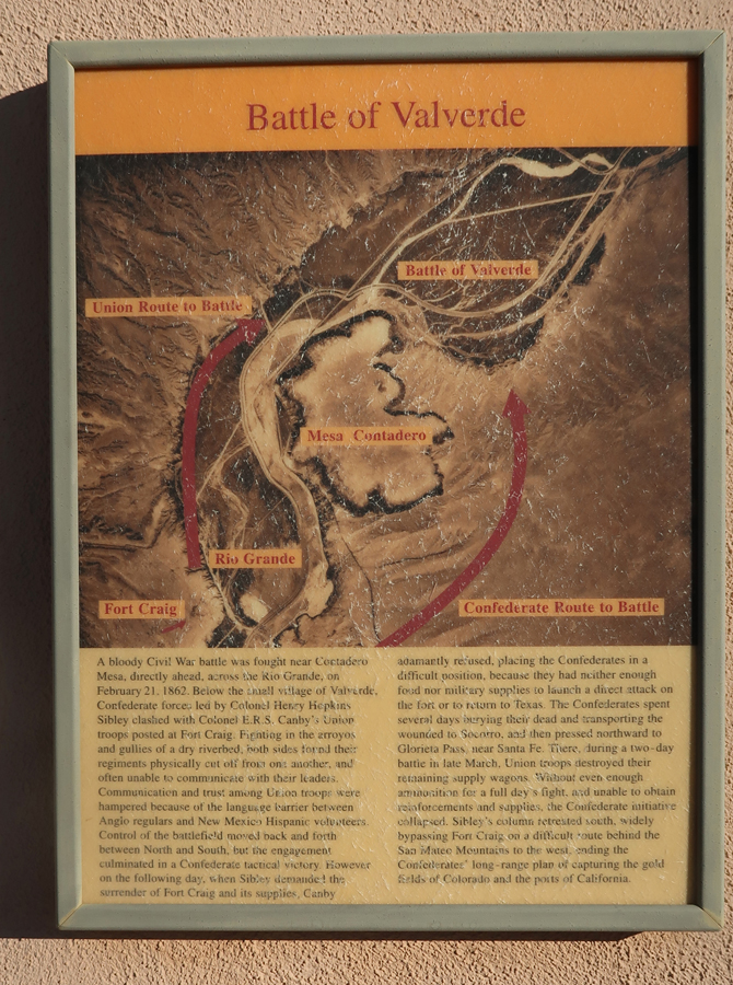
In 1862, a Confederate force won a battle here on their way to Glorieta Pass near Sante Fe where they were defeated and retreated south. The Confederate objective was to take the gold fields in CO and the ports in CA. If they had captured the U.S. mint in Denver, it could have changed the outcome of the Civil War.
.
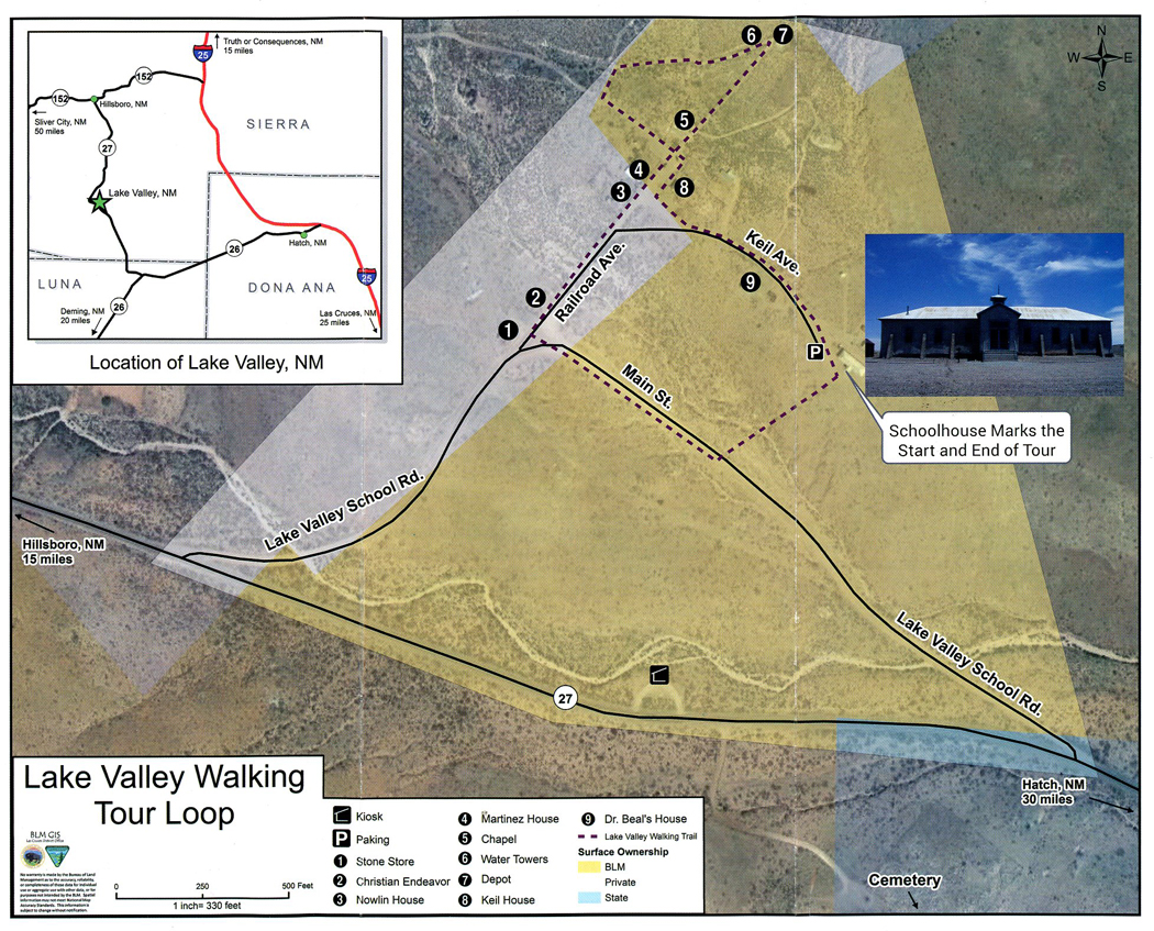
I continued S on I-25 to CR-152 W where I started on the Lake Valley National Back Country Byway to the Lake Valley Historic Townsite. See left middle of map –
.
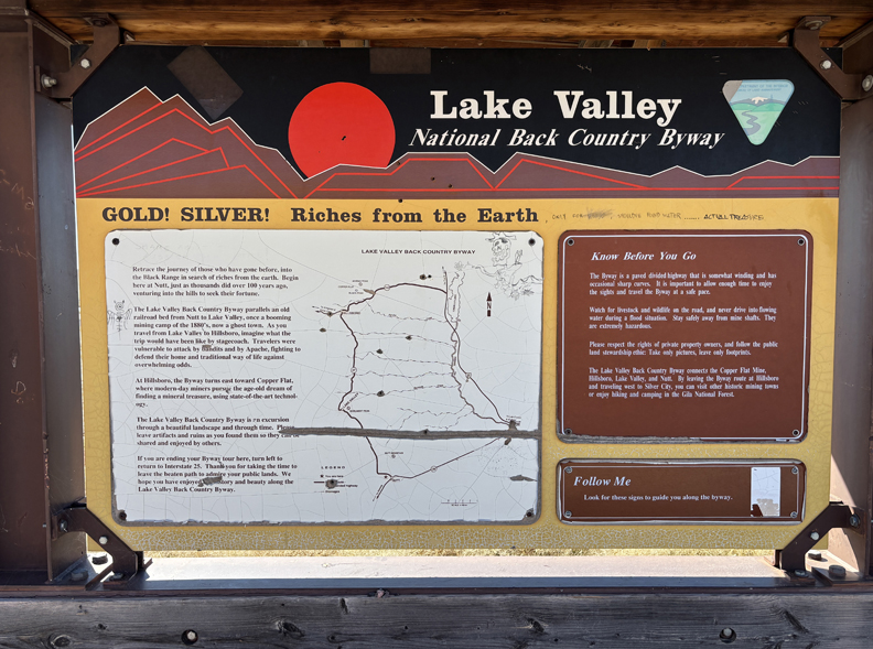
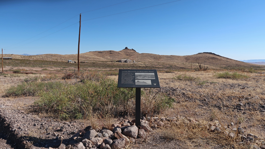
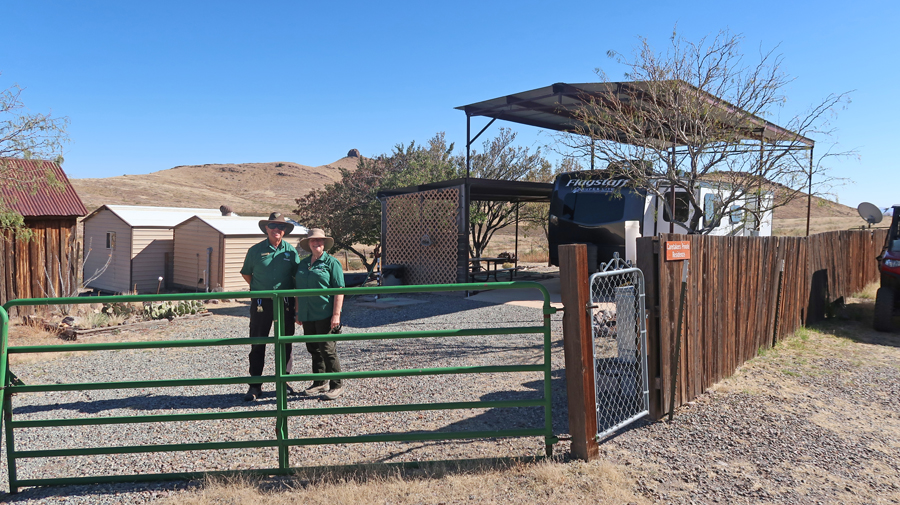
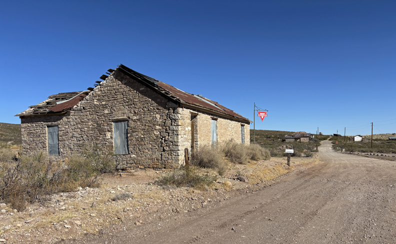
The mining town of Lake Valley was founded in 1878 after silver was discovered. It is now administered by the BLM. The restored schoolhouse provides a glimpse of what schooling in a rural area was like in the early 20th century. The Schoolhouse/Visitor Center is located in the middle of the photo, Lizard Mountain in background.
.
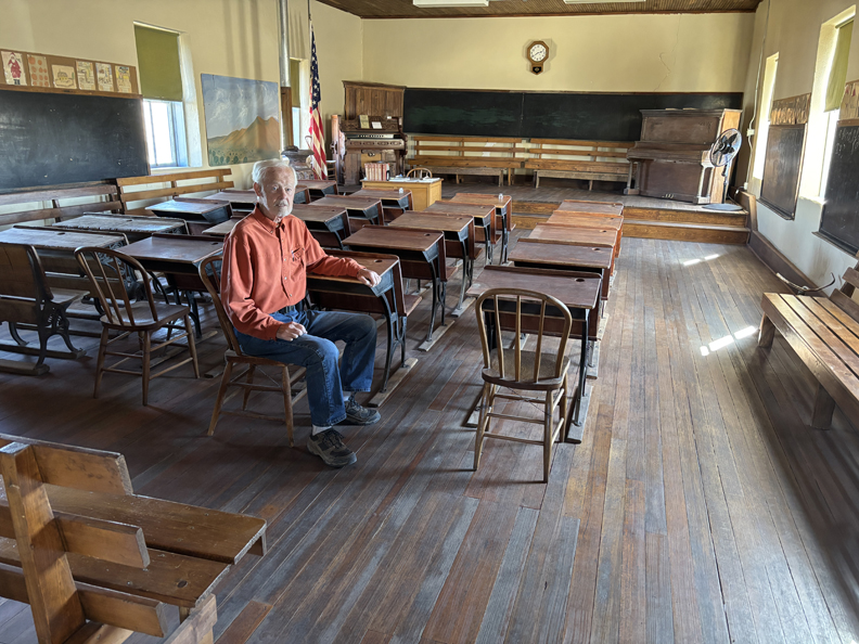
Almost overnight, the small frontier town blossomed into a major settlement with a population of 4,000 people. Today, silver mining has played out and all that remains is a ghost town. The BLM has restored the schoolhouse and chapel. Caretakers and a view inside of the “Schoolhouse” –
.
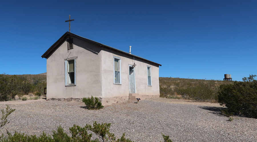
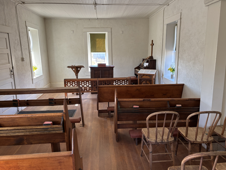
The Chapel –
.
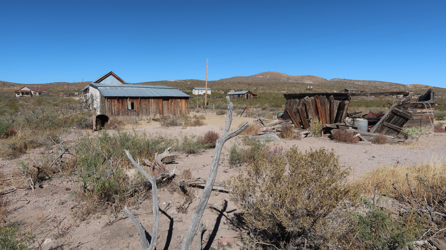
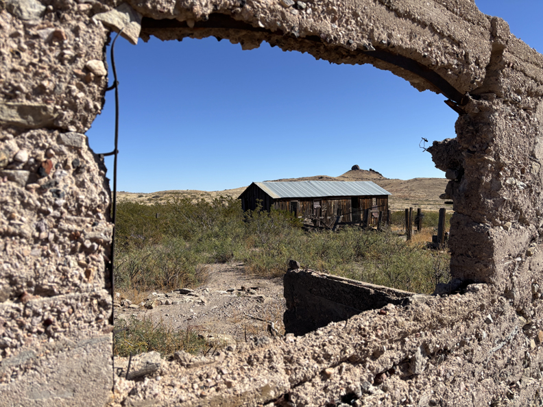
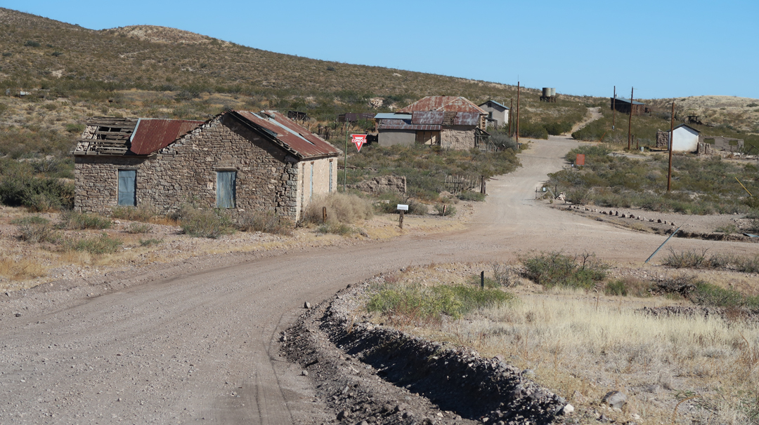
Other buildings in the townsite have been stabilized to slow further deterioration.
.
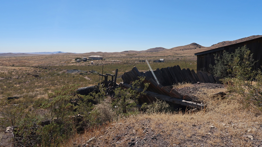
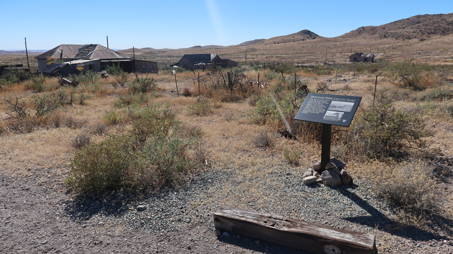
There is a 1-mile self-guided interpretive walking tour.
.
.
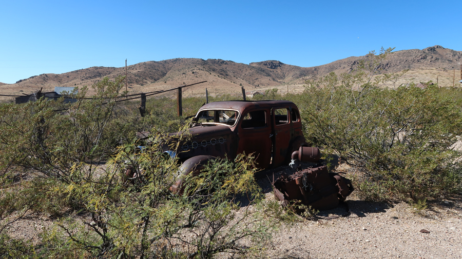
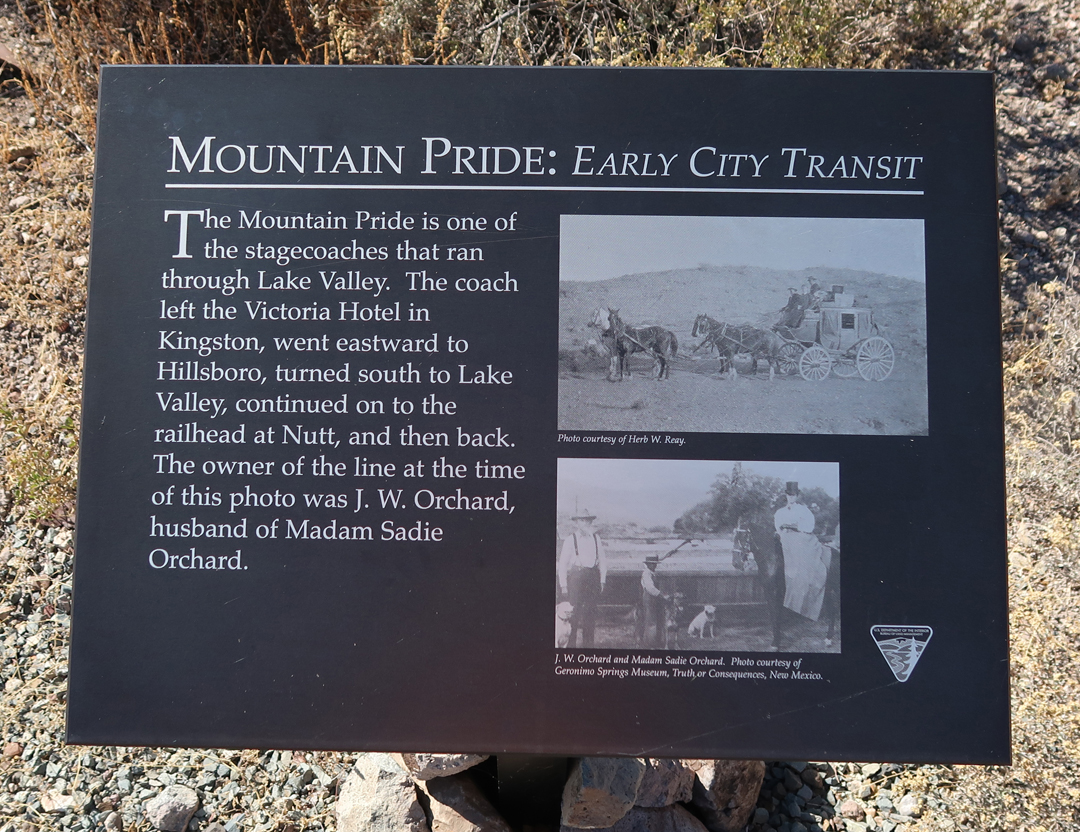
Lake Valley was on the Mountain Pride stagecoach route.
.
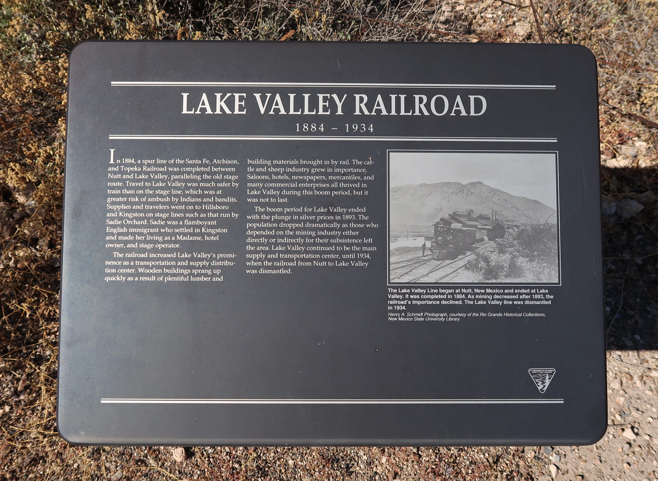
In 1884, a spur branch of the Santa Fe, Atchison, and Topeka RR was built to remove silver ore. See water tower for steam engines on the top of the hill.
.
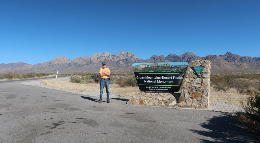
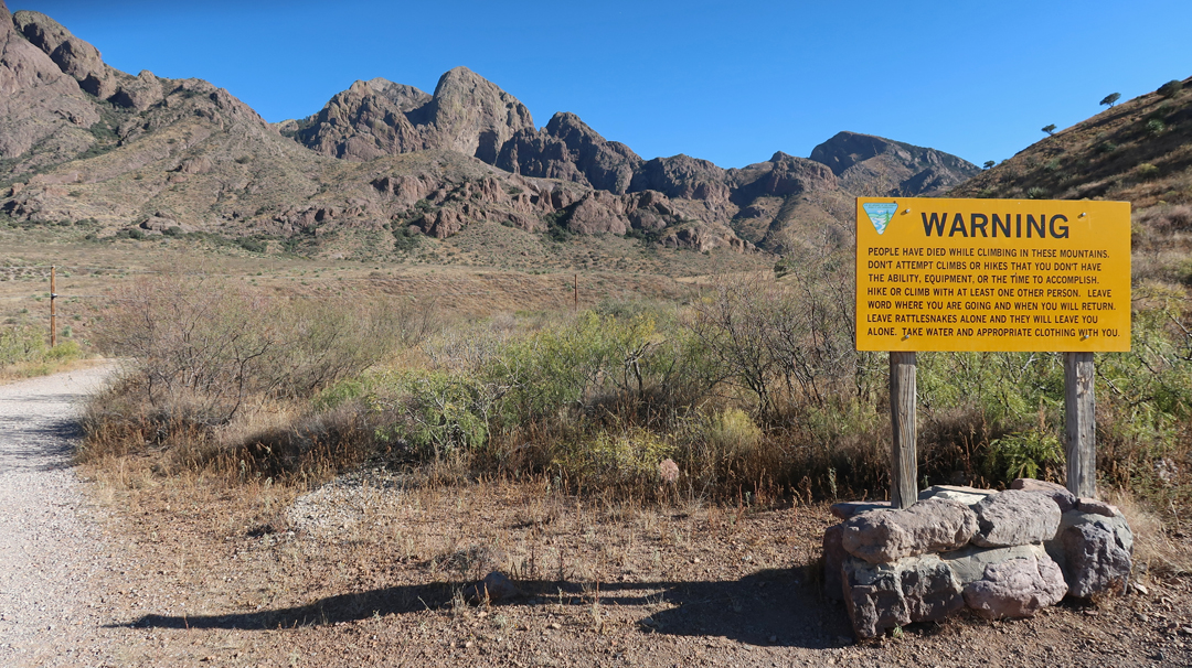
Next stop, Organ Mountains-Dessert Peaks NM (BLM) near Las Cruces NM. In 2018, Helen and I hiked West Trail up to Baylor Pass in the northern part of the NM. I then did the La Cueva Rocks Trail near the Visitor Center – see Blog for January 2018.

.
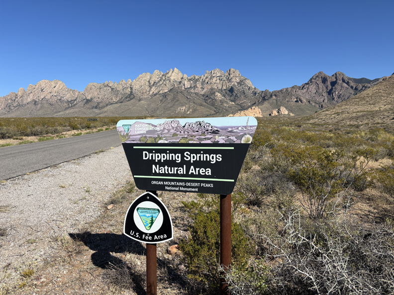
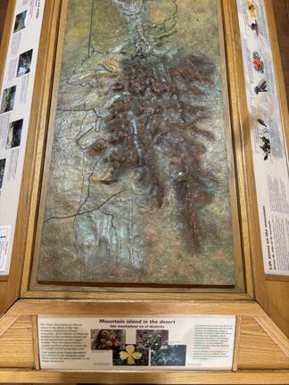
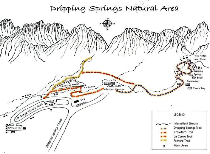
Today, my focus was on the Dripping Springs Natural Area (NA). There was a nice display in the A.B. Cox Visitor Center – “Mountain Island in the Desert”
.
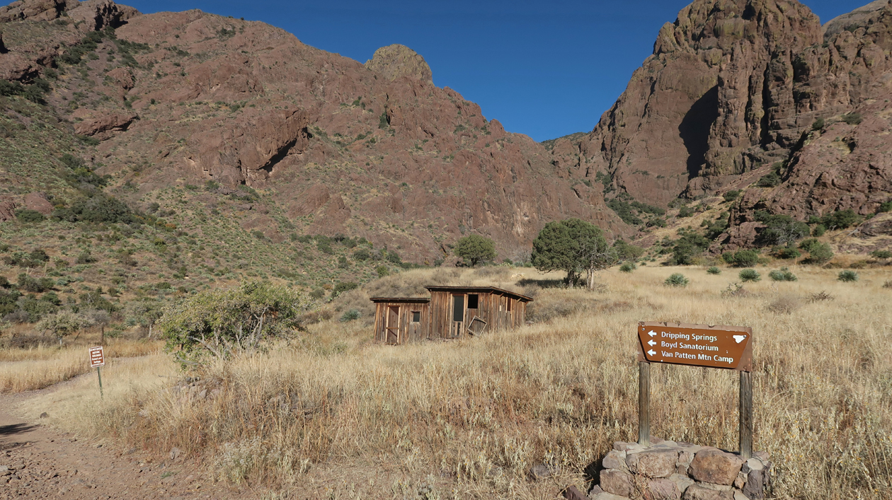
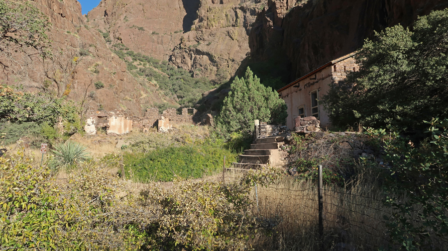
I did the 3-mile rt Dripping Springs Trail that ascends 600ft to the Van Patten Mountain Camp, Dripping Springs, and Boyd’s Sanatorium.
.
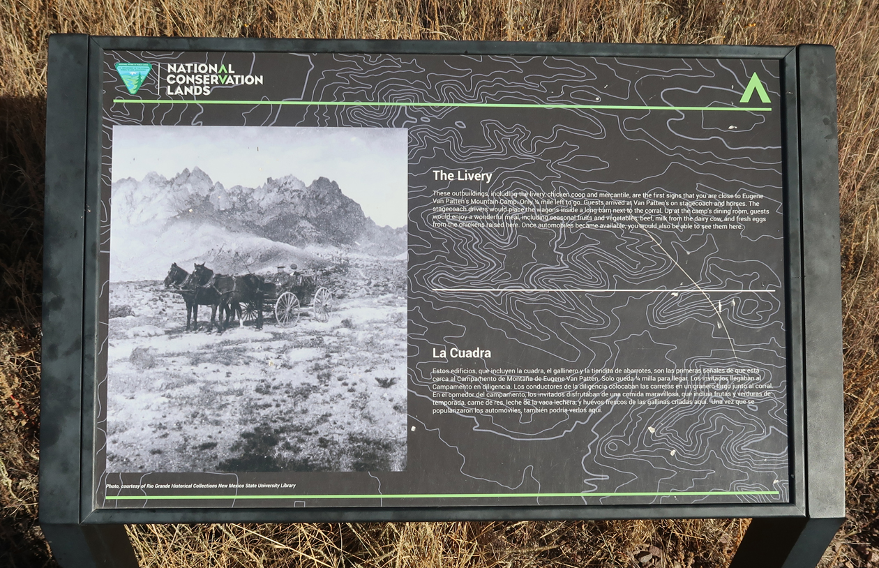
This was the Livery where guests would arrive, first by stagecoach and on horseback, and later in cars.
.
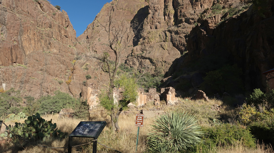
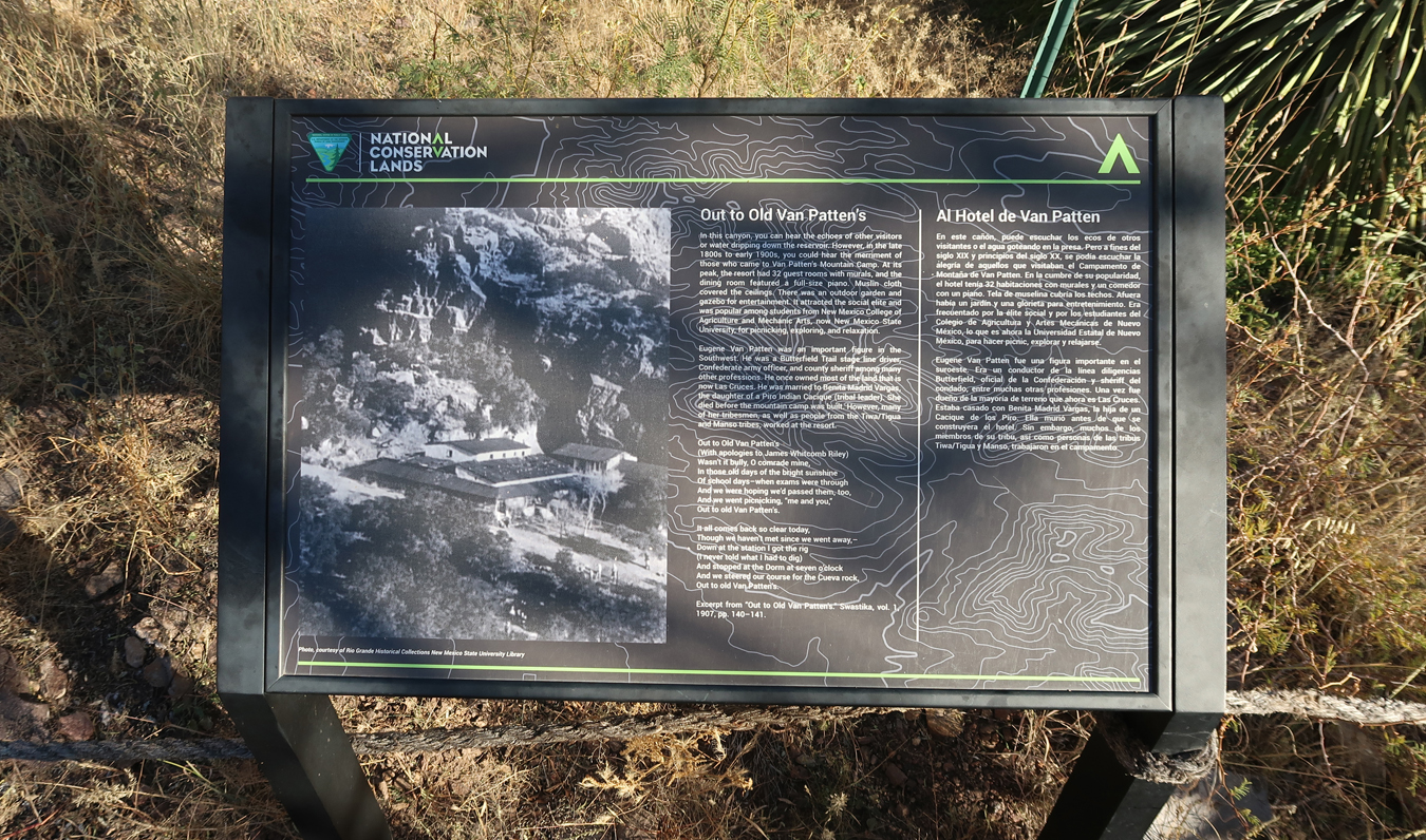
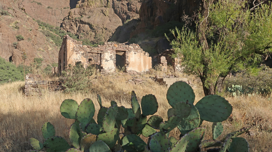
Remains of Van Patten Mountain Camp
.
.
.
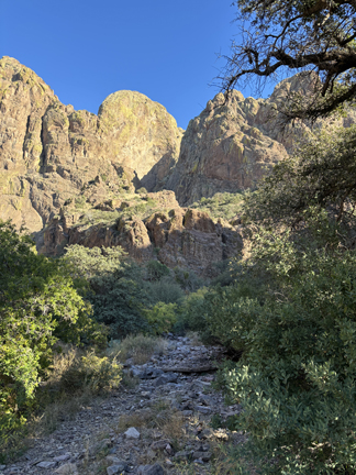
Looking up Dripping Springs Creek
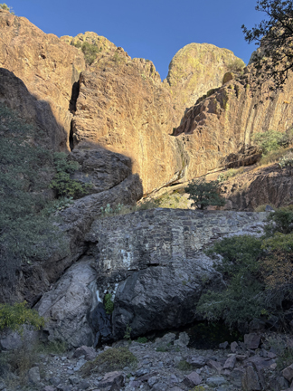
Stone Dam –
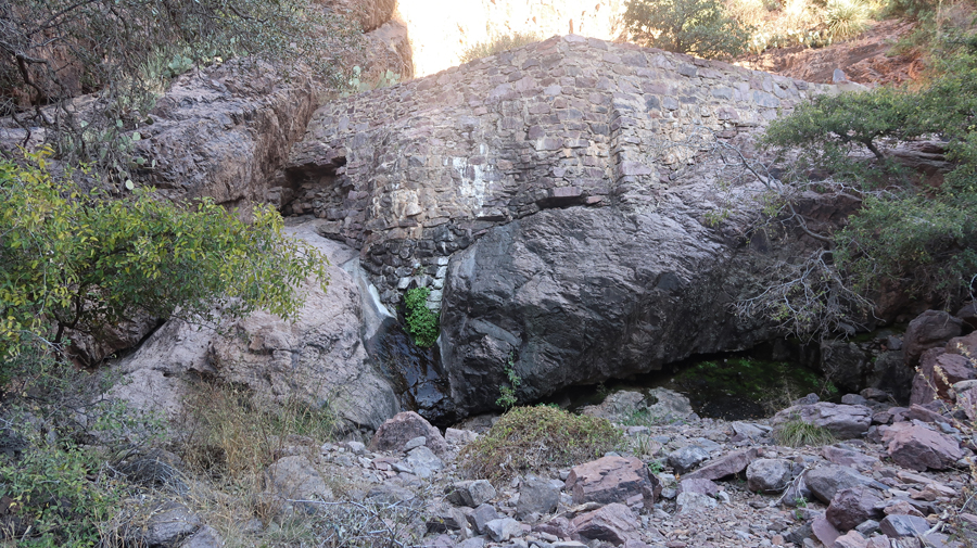
A slight trickle of water coming out from below the green vegetation near the center of this photo. It is dripping! I was hoping for a waterfall, which is what they show in the brochure.
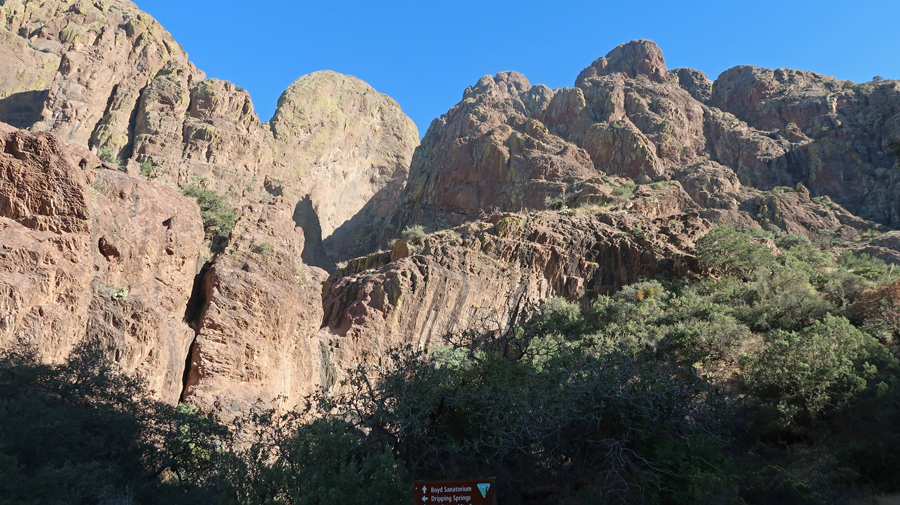
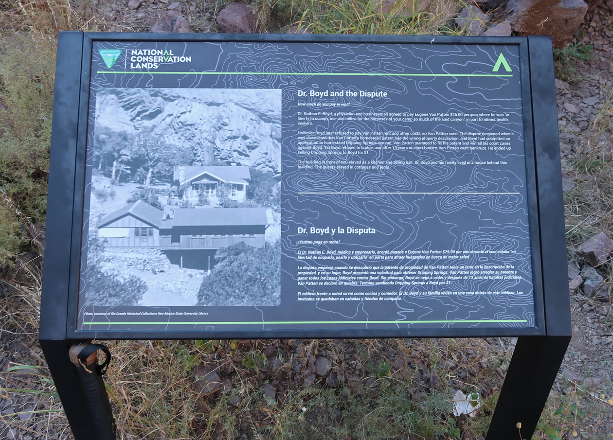
Boyd’s Sanatorium – note sign at bottom of photo
.
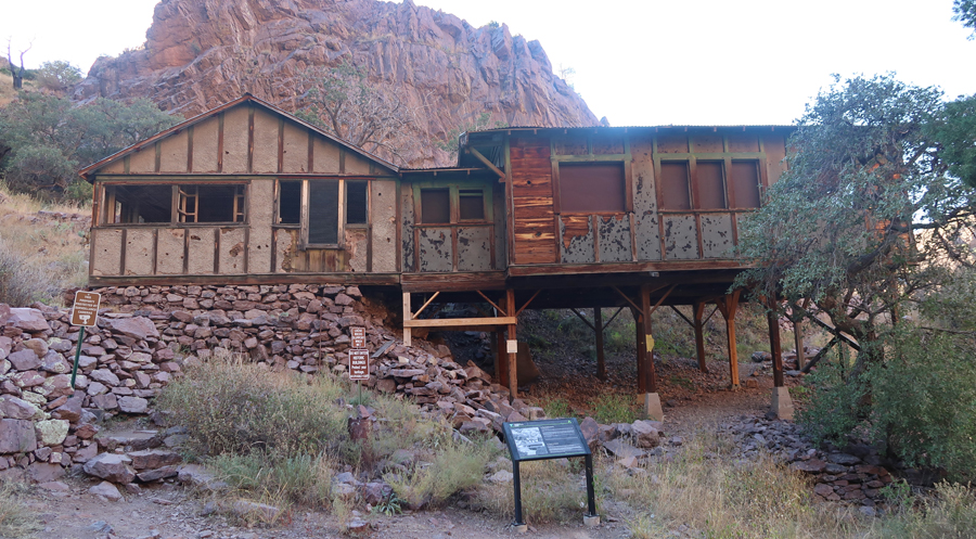
.
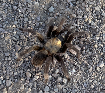
Tarantula on trail –
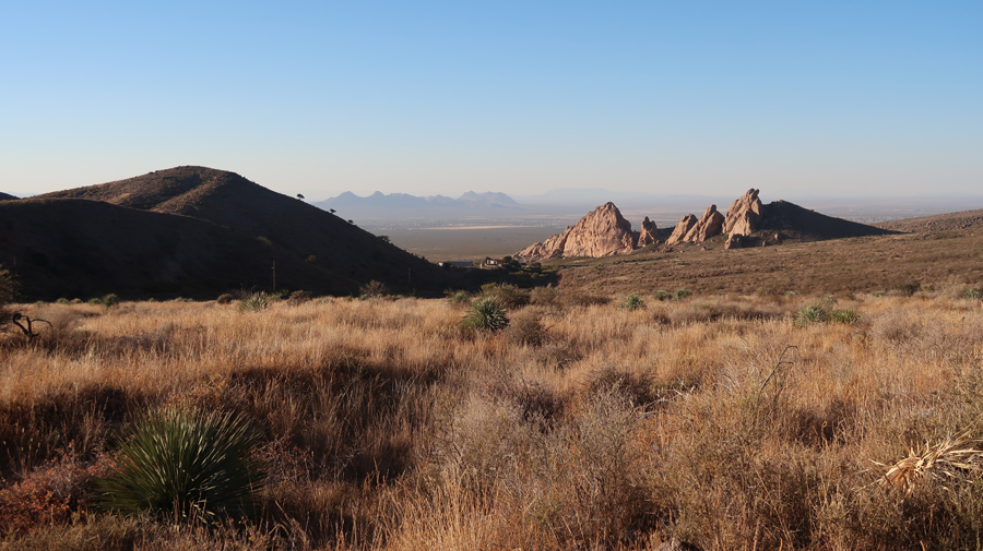
Descending near the end of the trail –
Back to El Paso for the night and then flight home the next morning.

Tom, another great trip! Thanks for sharing. Leaf ________________________________