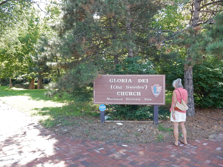
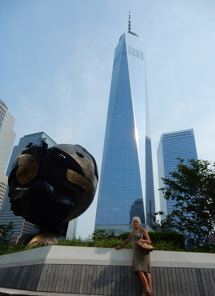
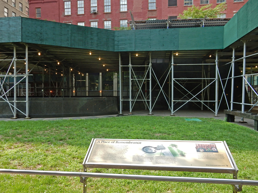
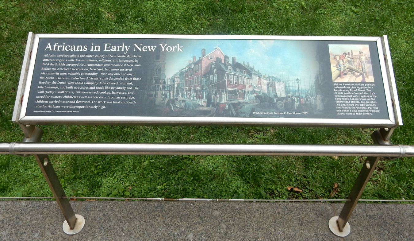
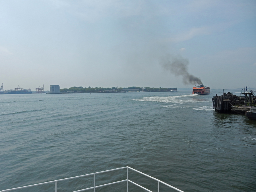
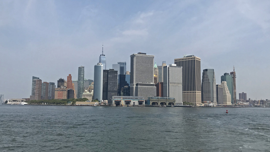
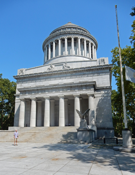
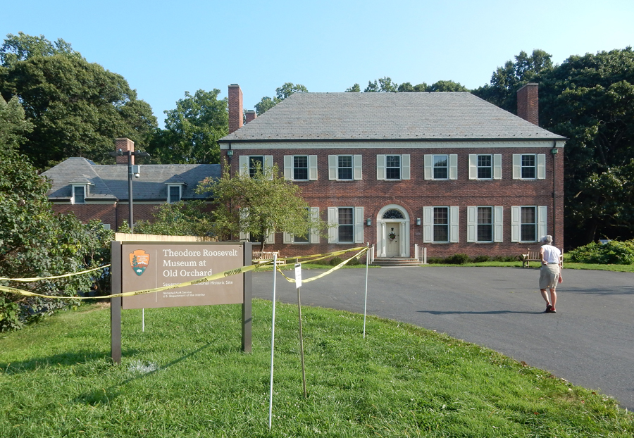
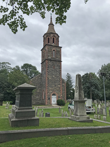
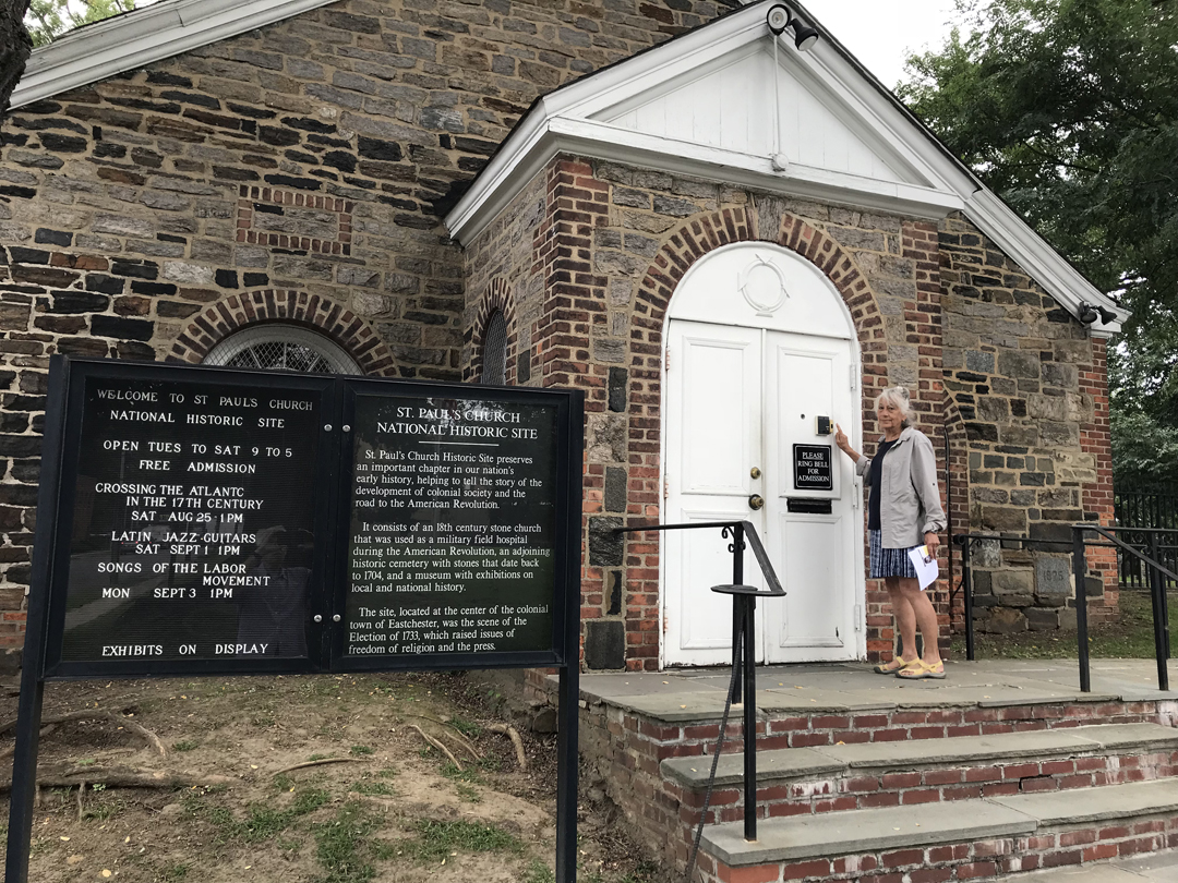
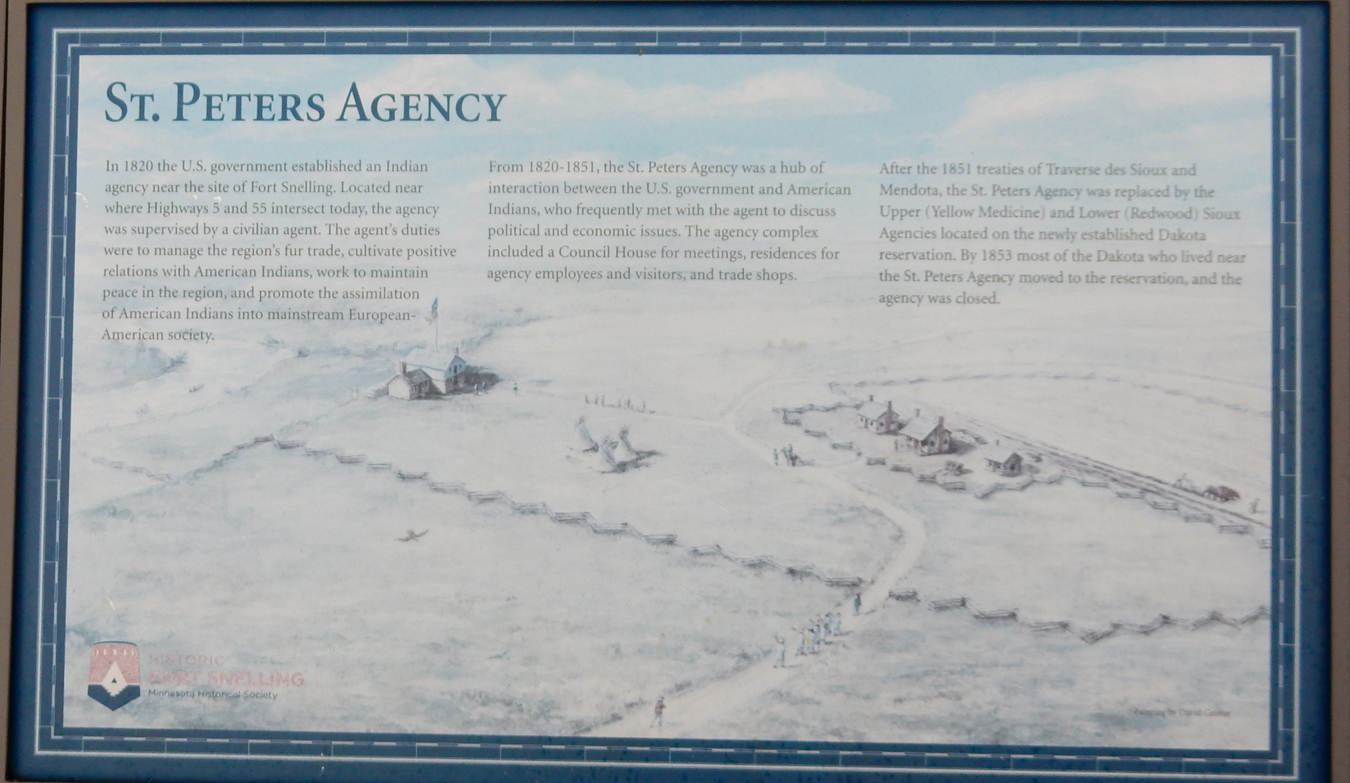
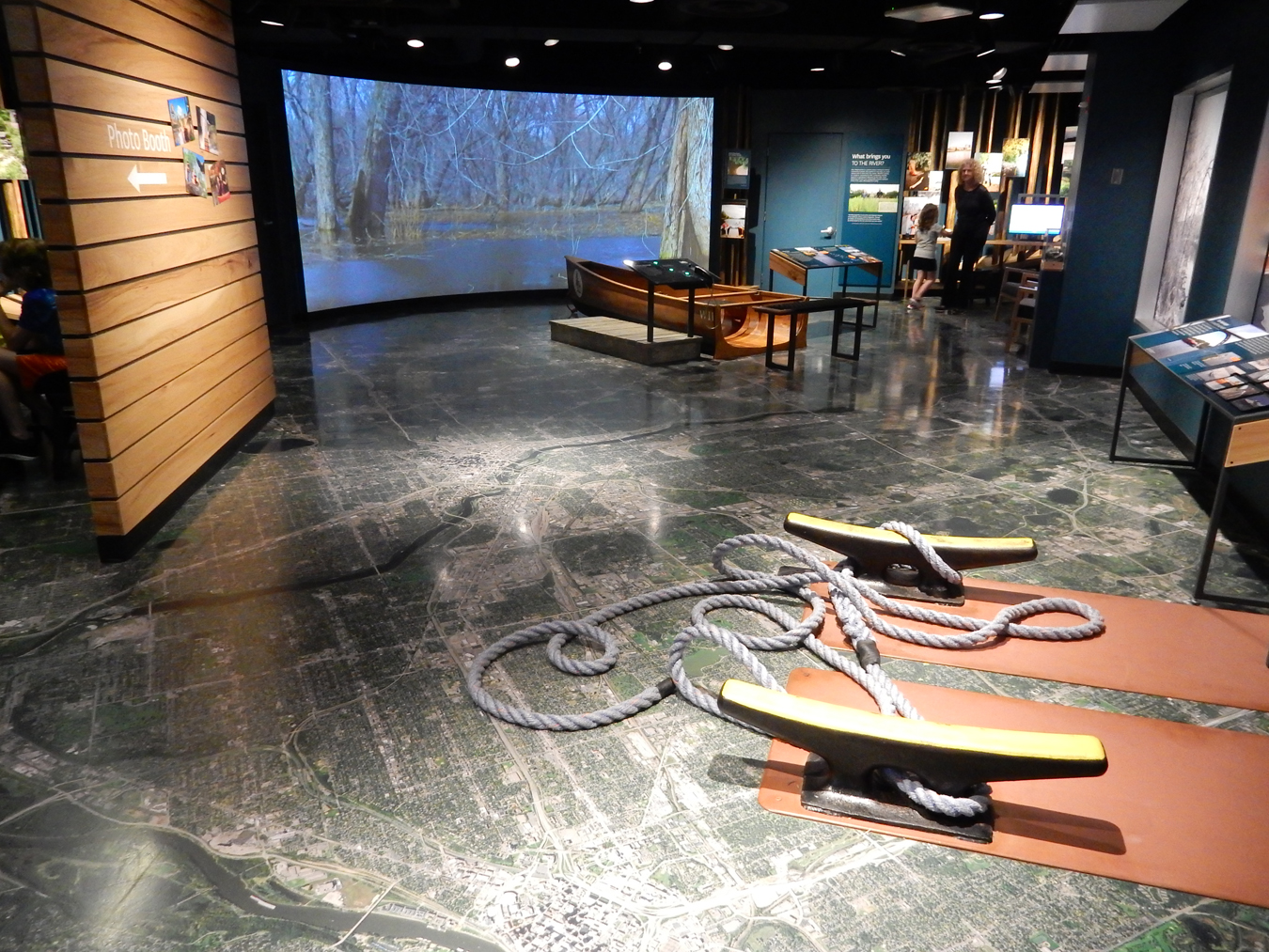
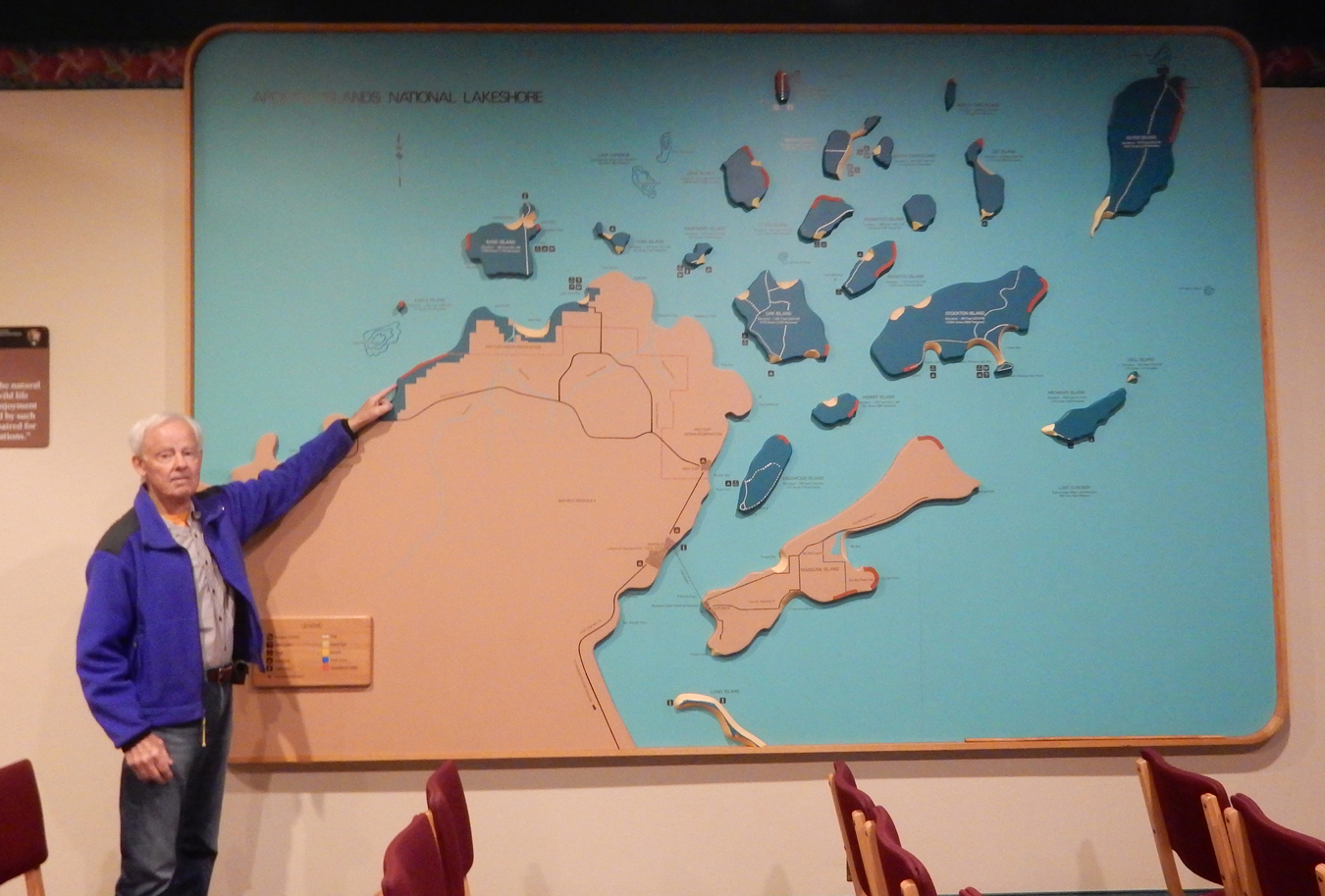
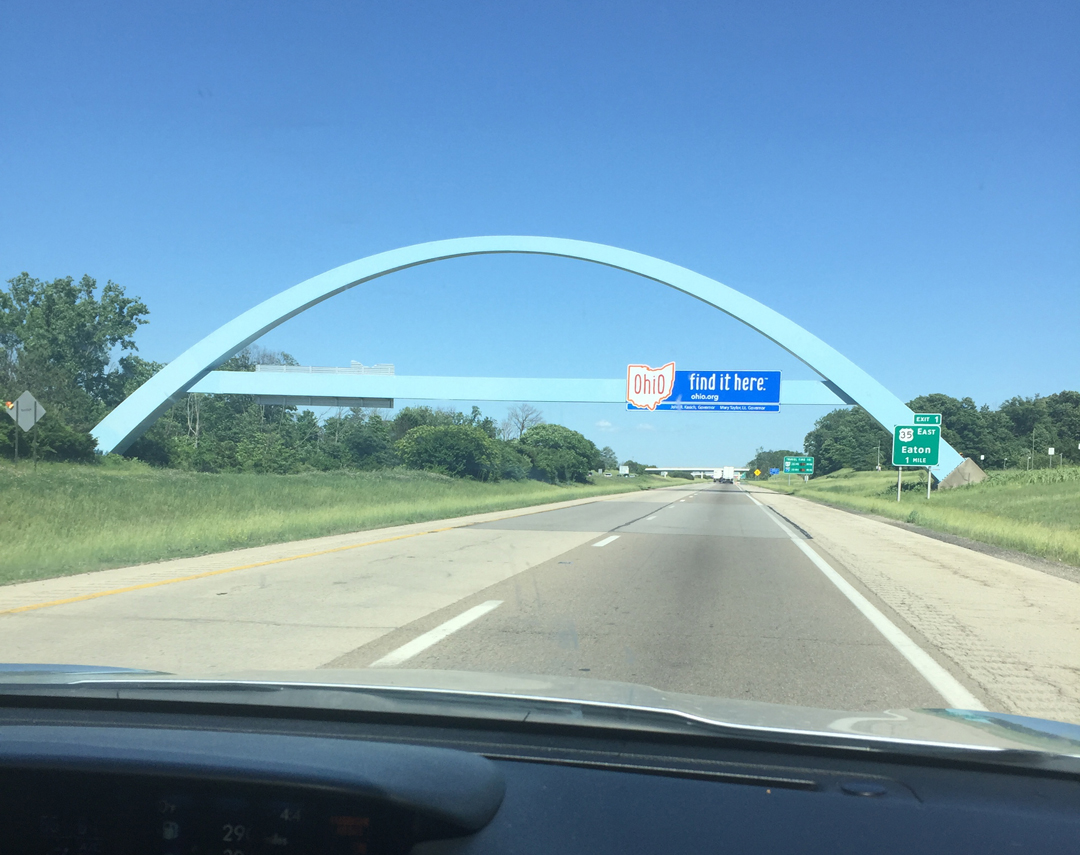
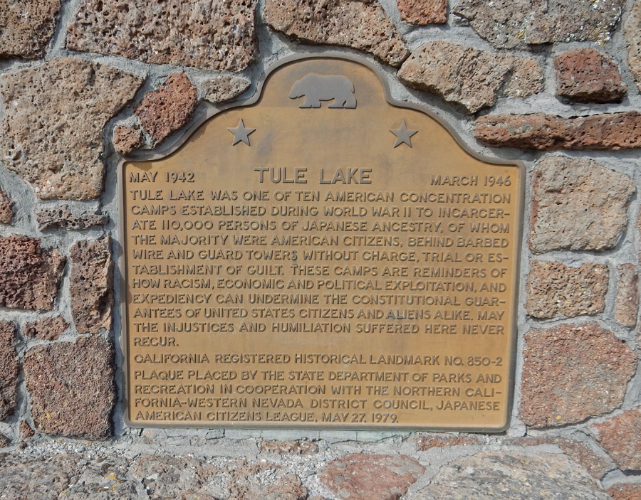
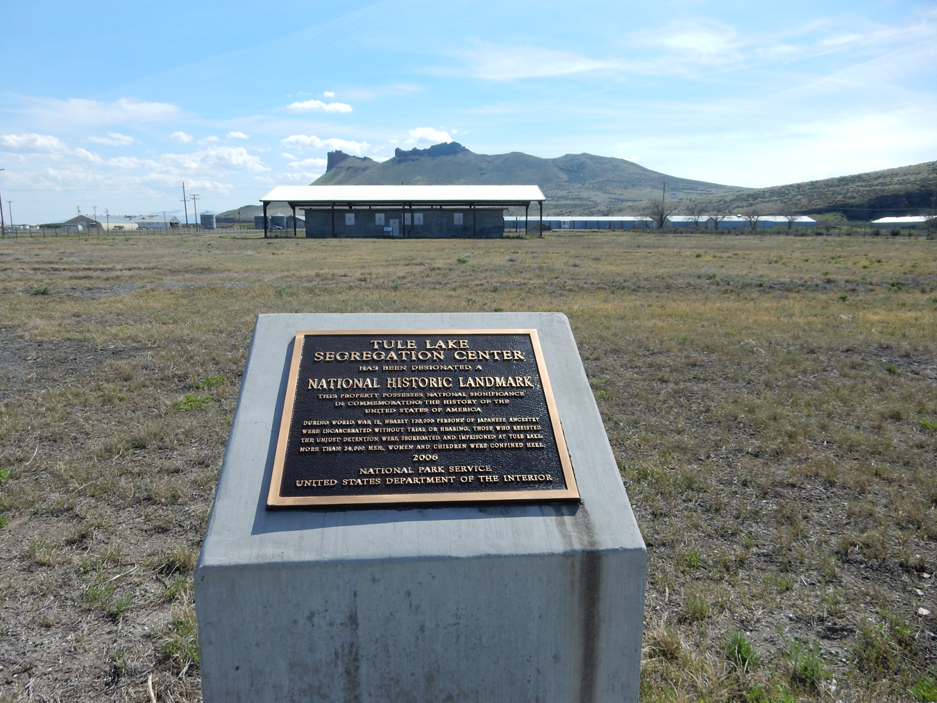
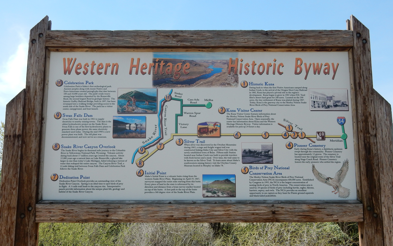
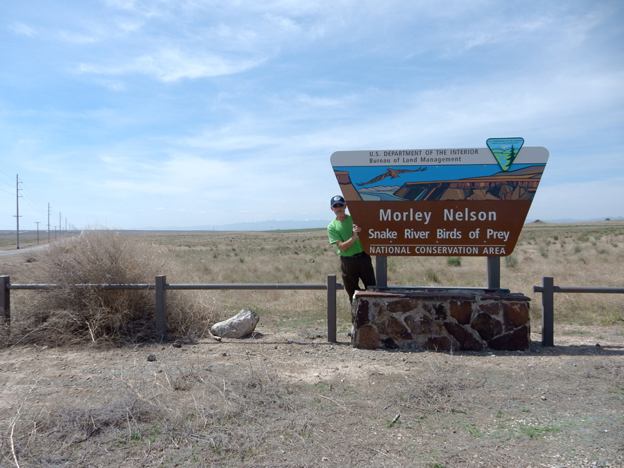
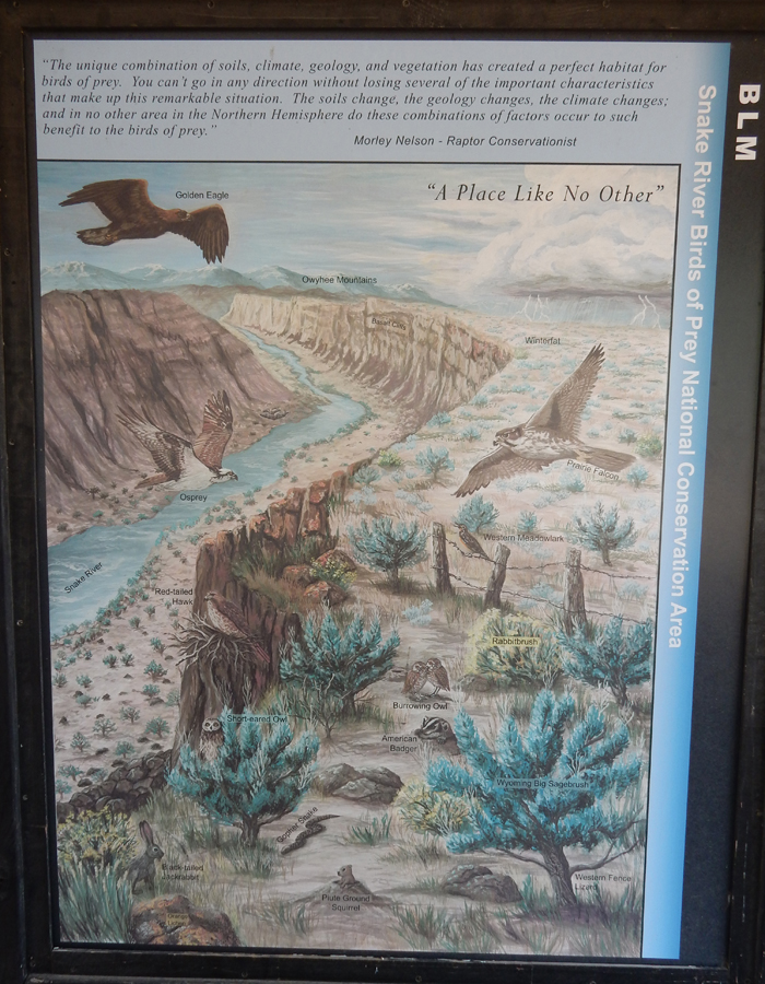
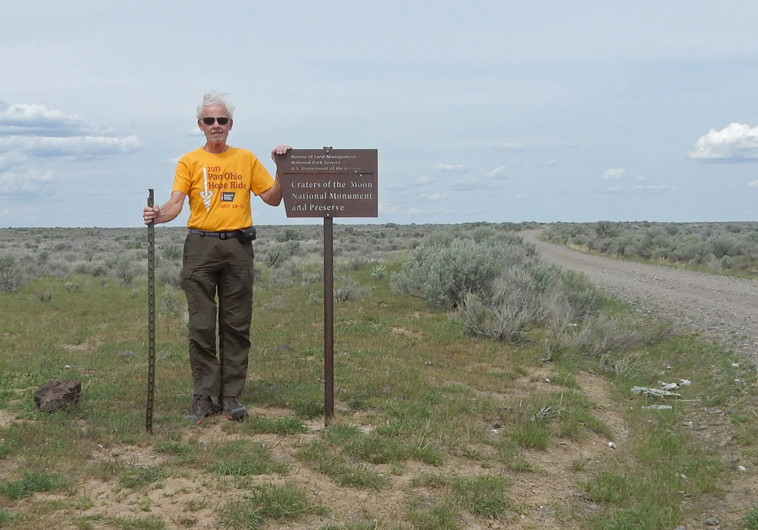
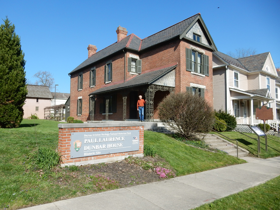
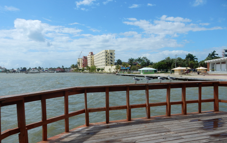
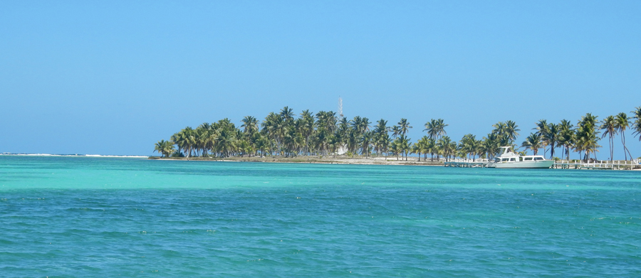
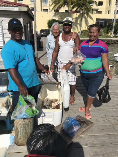
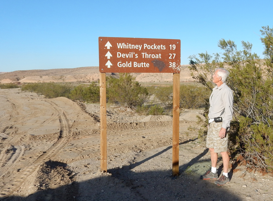
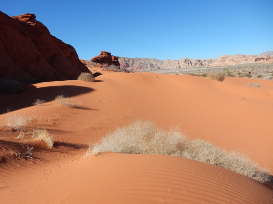
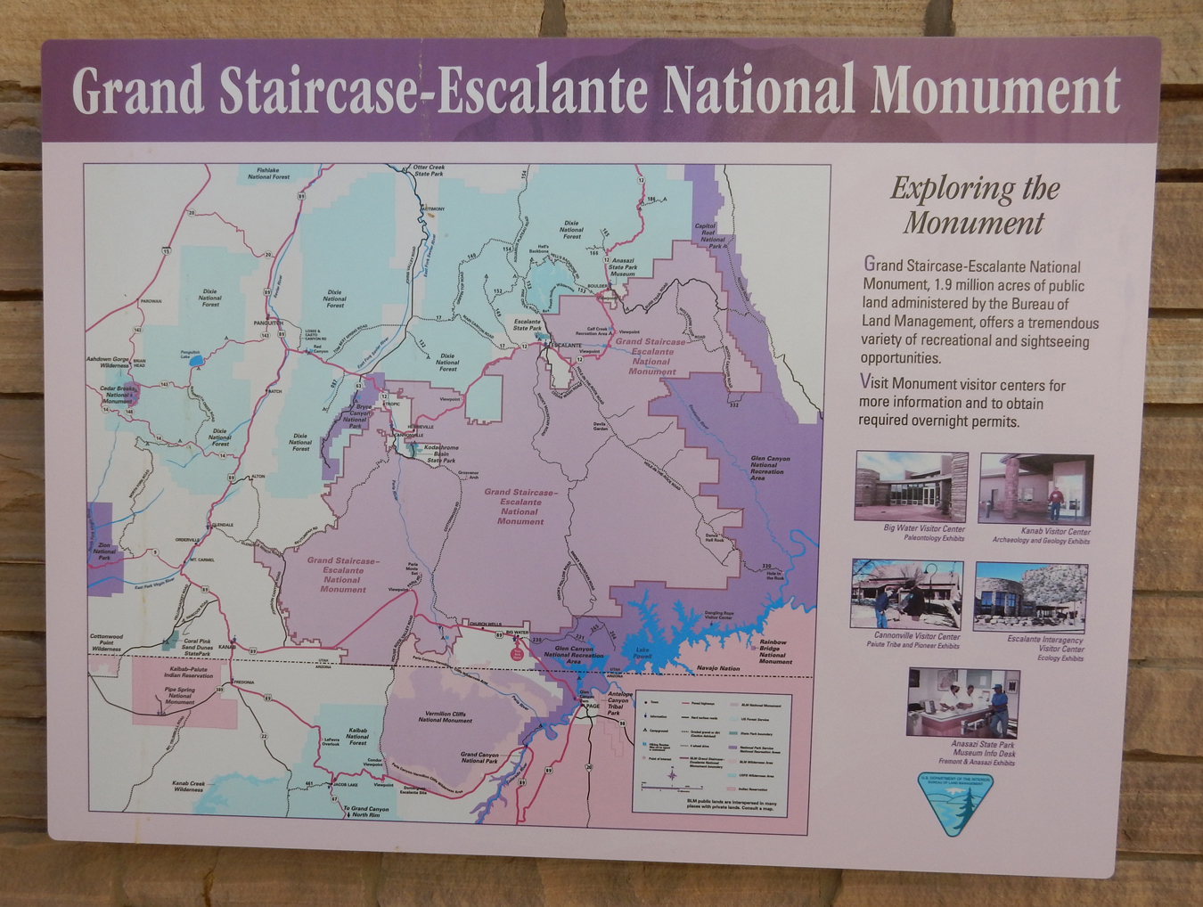
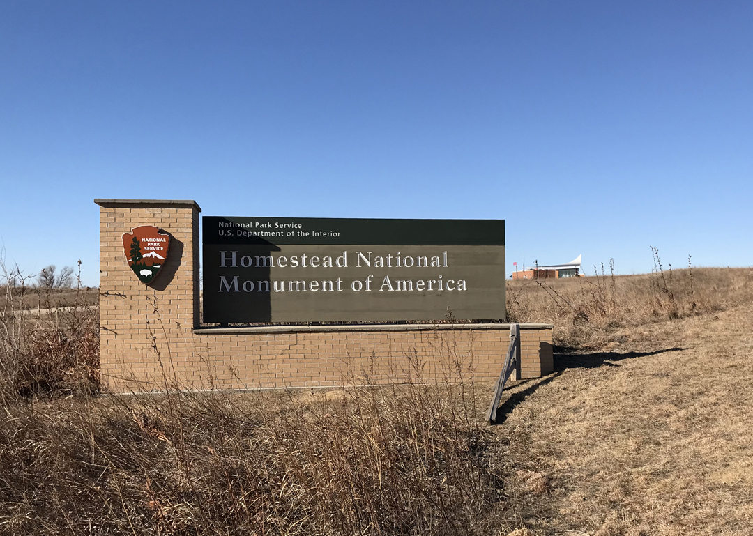
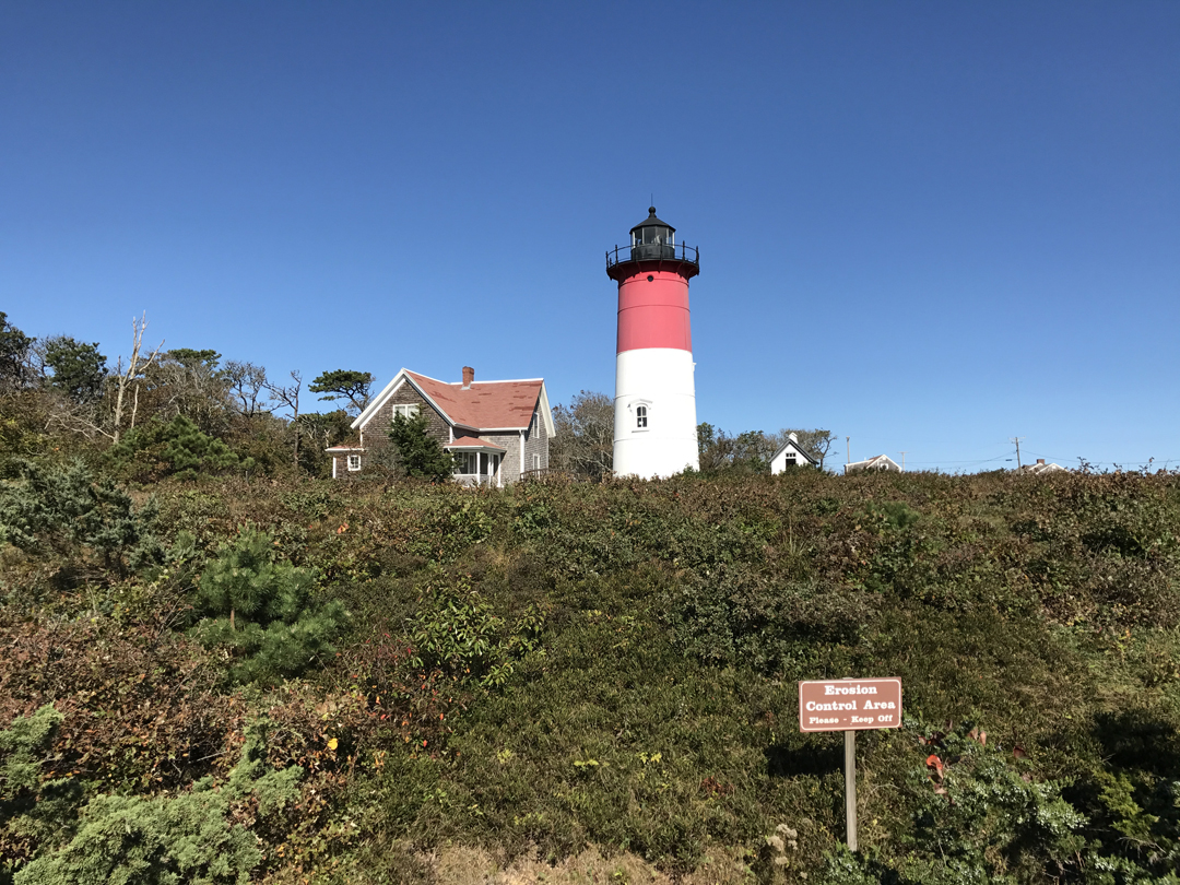
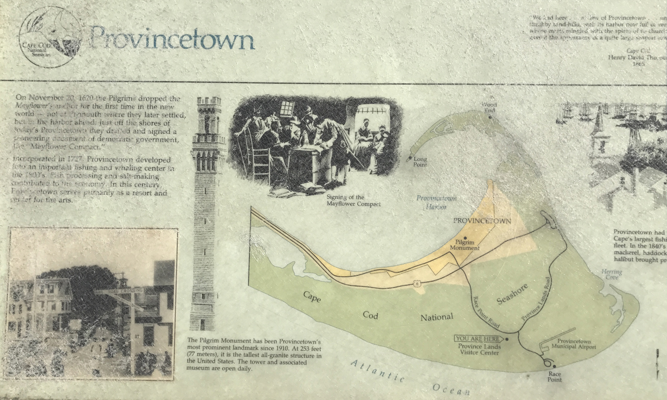
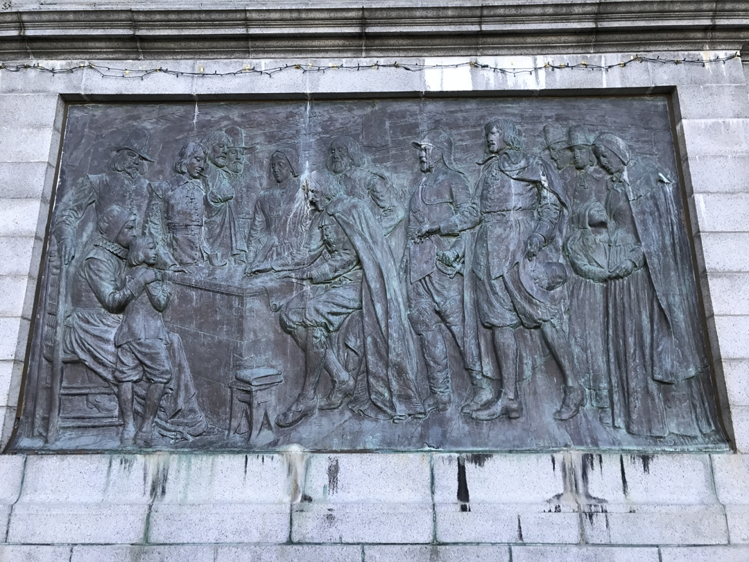
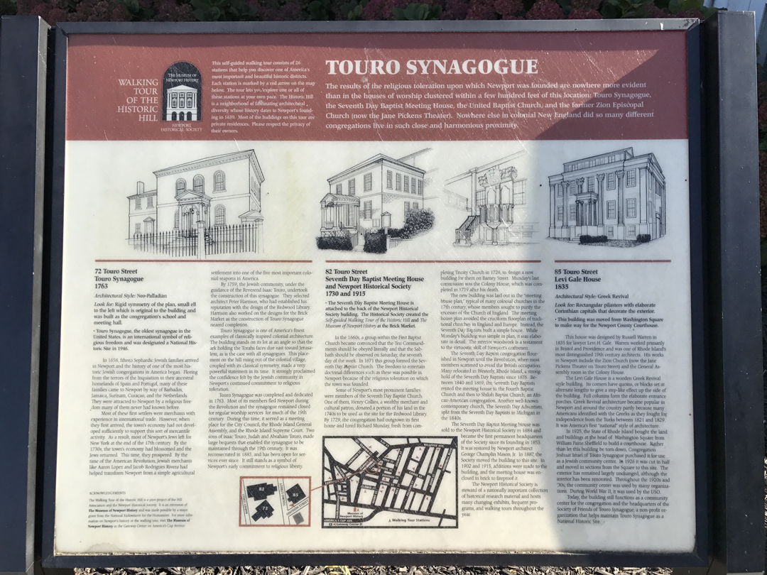
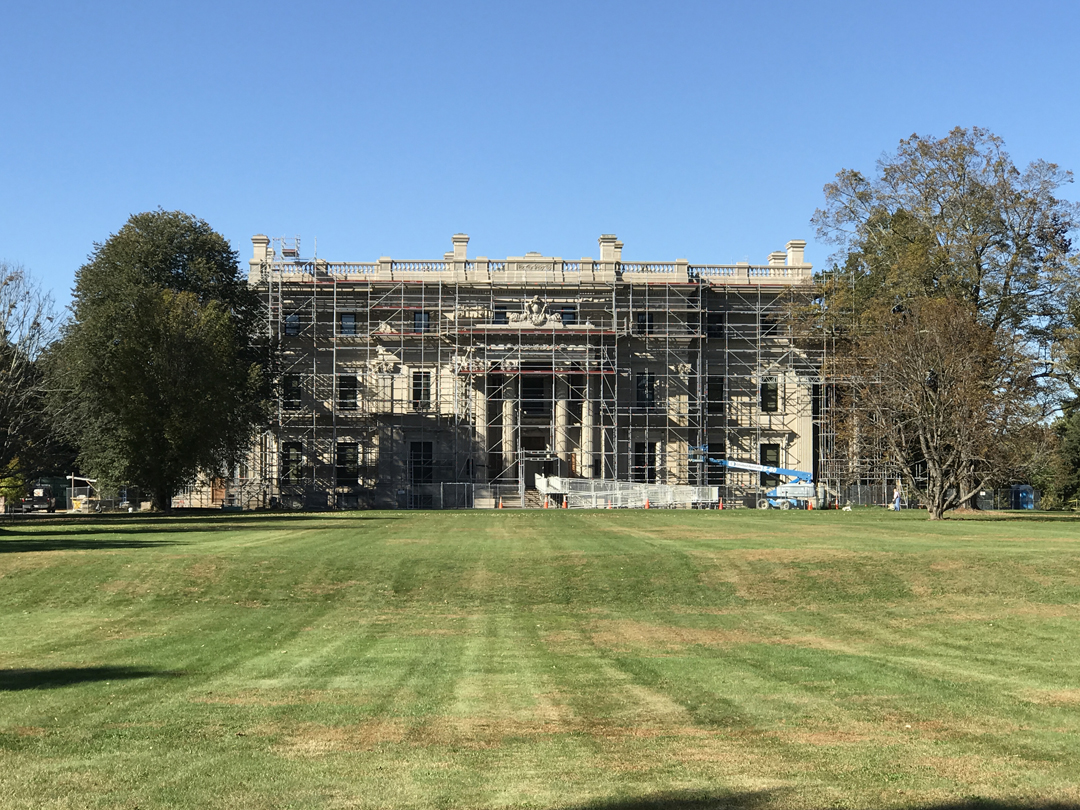
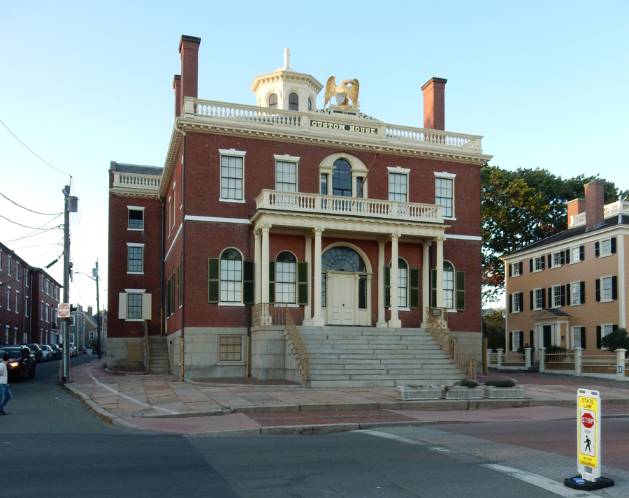
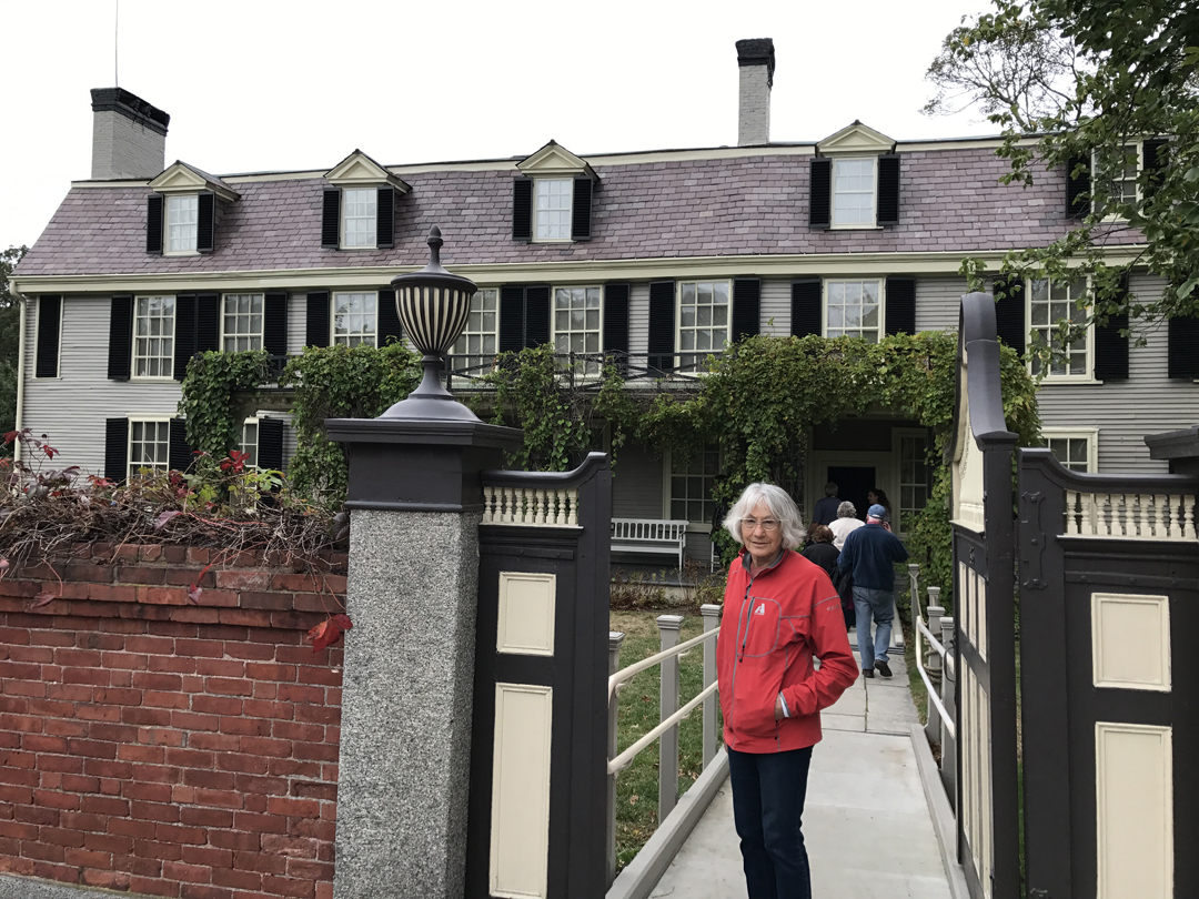
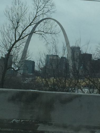
1/15 M – Helen and I left Springfield at 7am and drove into a snow storm in IN and IL. Lots of cars and trucks crashed and off the road in the ditches along I70. As we crossed the Mississippi River, we entered St Louis and could see the newly designated Gateway Arch National Park that Trump approved on 2/22/2018. It was previously called the Jefferson National Expansion Memorial and was a unit in the National Park System. I disagree with the new designation. There is no way that this man-made park is on par with any of the other 59 major National Parks. Every other NP is, among other notable characteristics, a large preserved part of the natural environment. Think Yellowstone, Grand Canyon, Great Smoky Mountains, Yosemite, Acadia, etc., etc., etc. There is no comparison! In my opinion, it should be designated a National Monument or a National Historic Park.

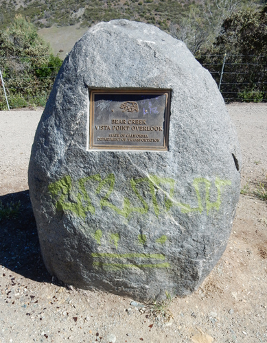
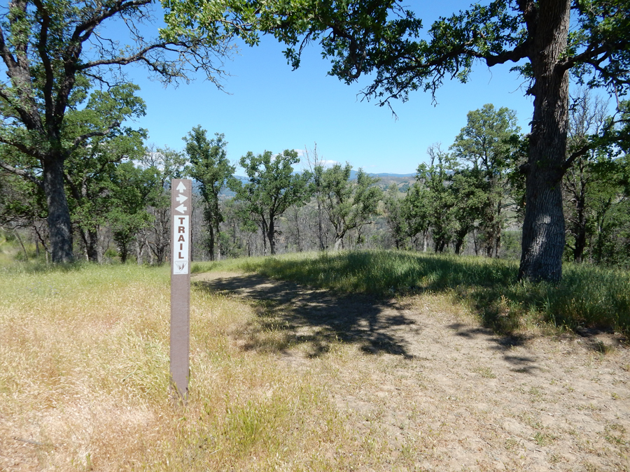
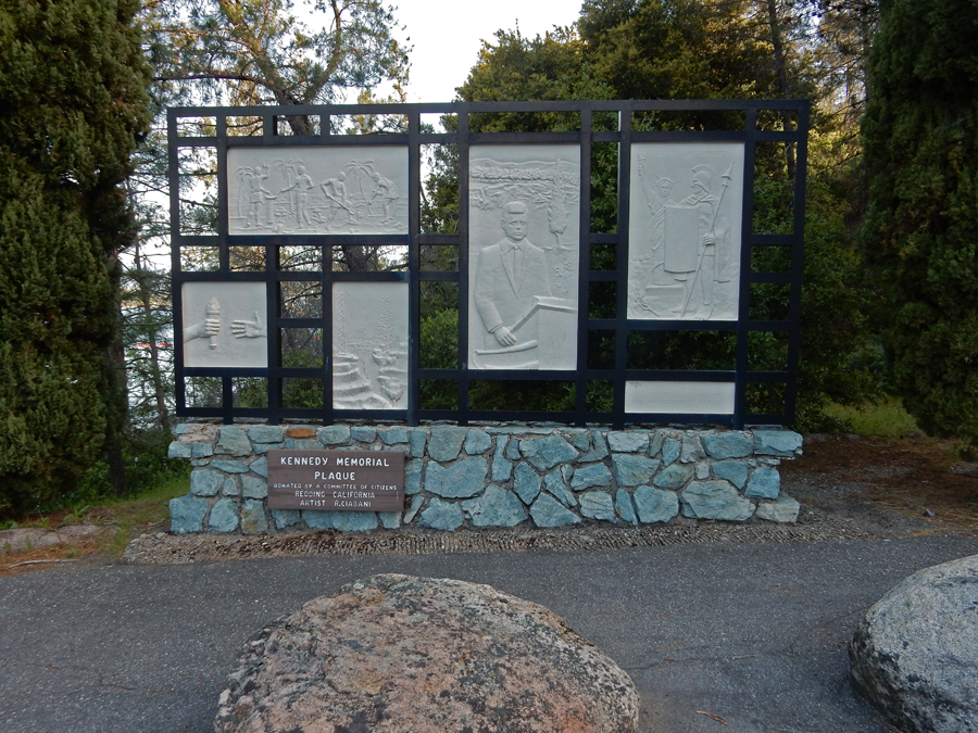
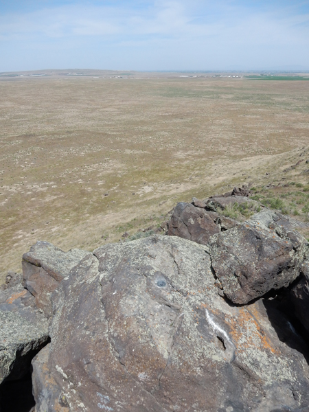
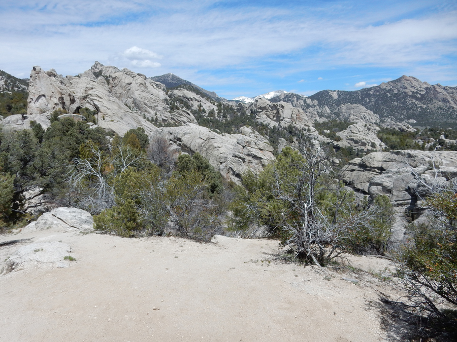
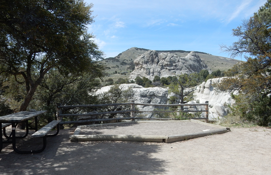
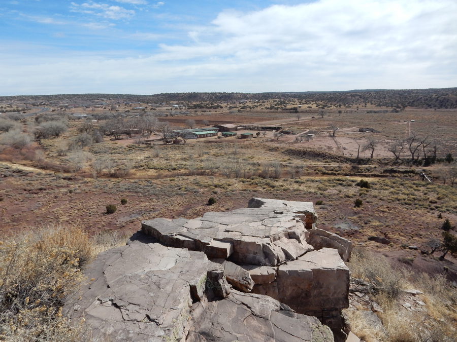
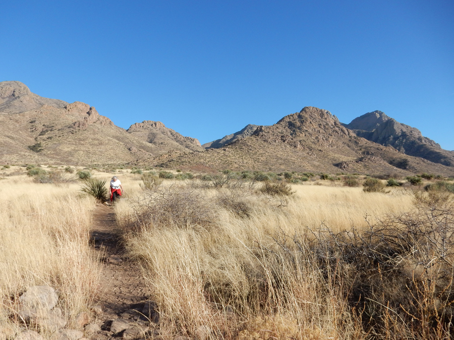
We arrived at the Taum Sauk Mountain State Park Overlook (MO) about 3pm

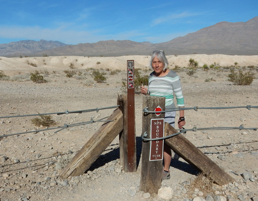
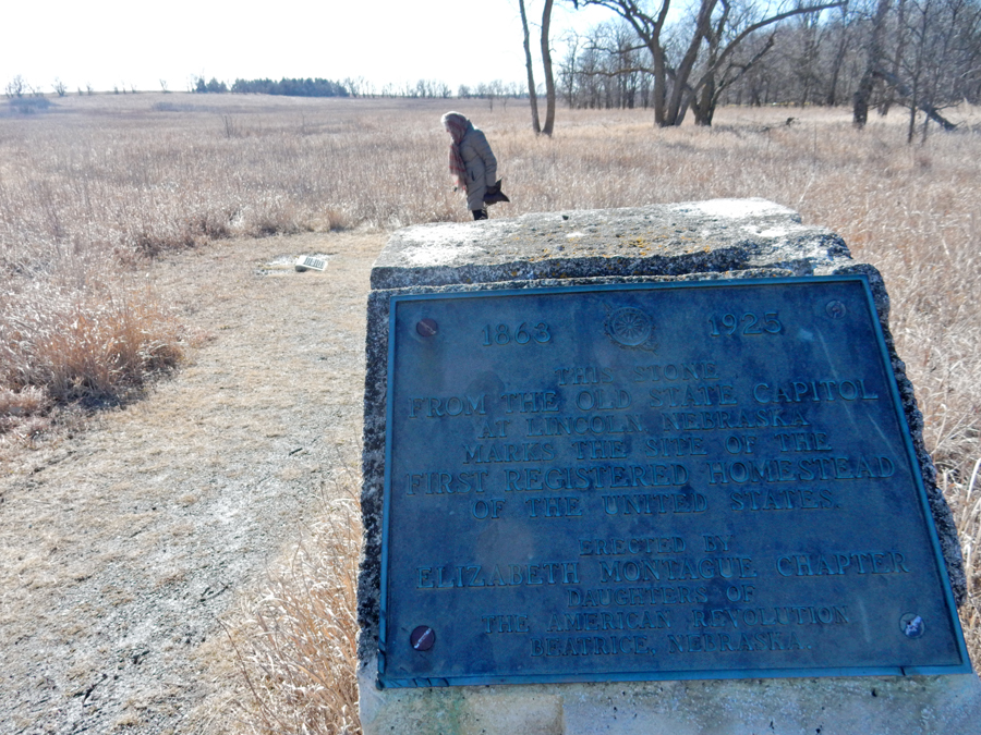
It was 9 degrees when we started the short walk to the Highpoint of MO, Taum Sauk Mt 1,772ft

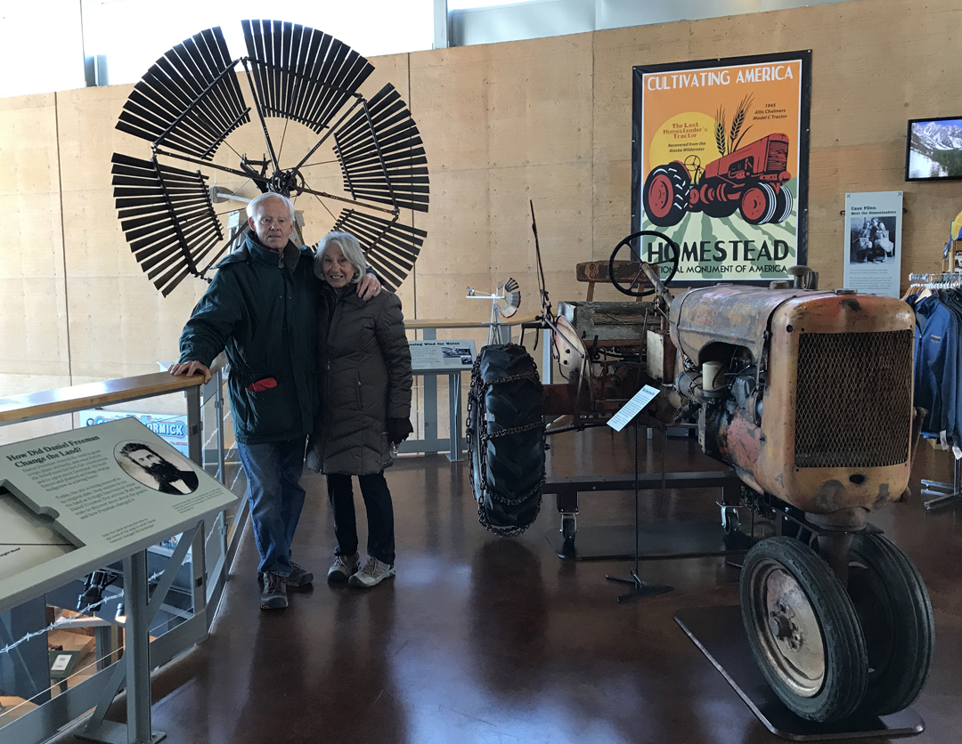
This was Helen’s 32nd state highpoint!


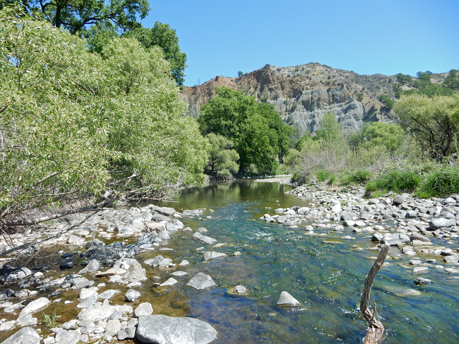
We stayed the night in the Homeport Inn B&B near Eminence MO and the Ozark River
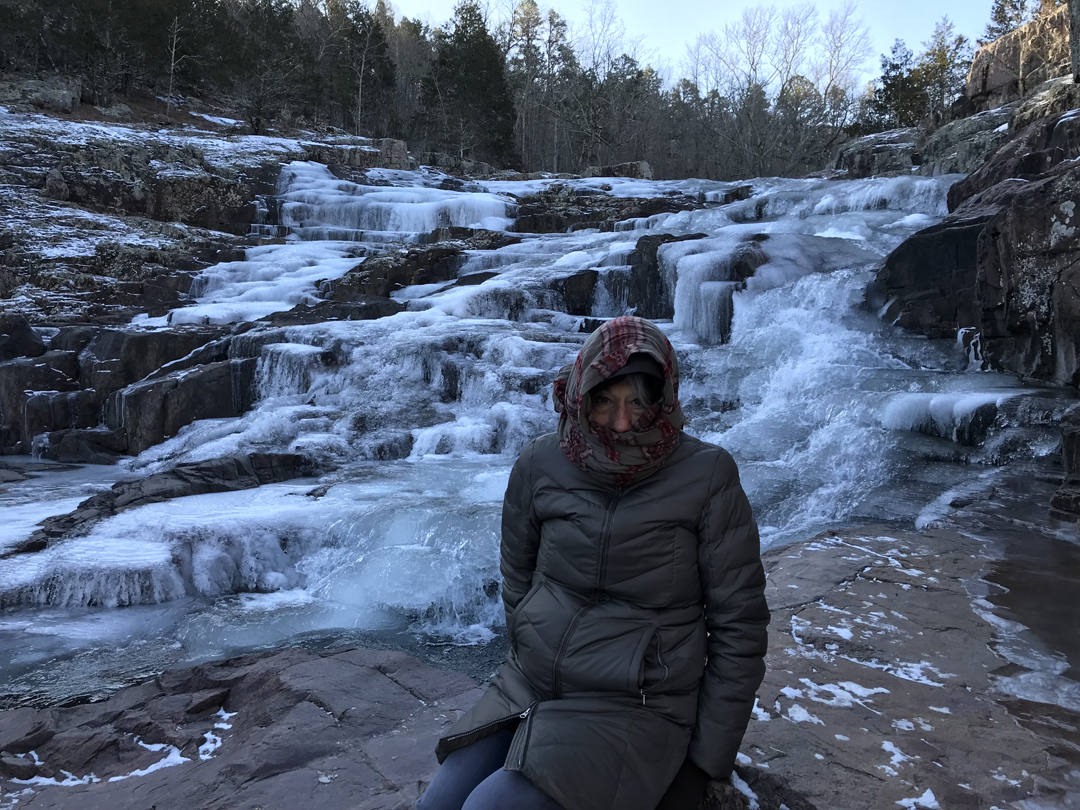
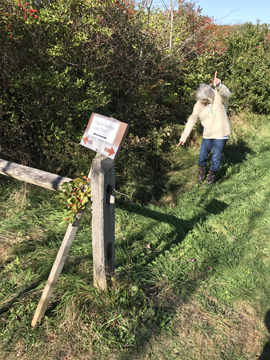
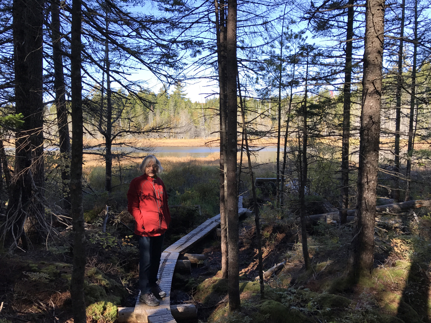
1/16 Tu – We started with a 1mi round trip hike to Blue Spring in the Ozark National Scenic Riverway – it was COLD, –3 degrees!


Our next stop was Rocky Falls. It had now “warmed-up” to 2 degrees. We found about 95% of the Falls to be frozen!


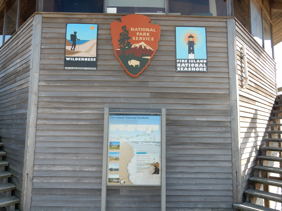
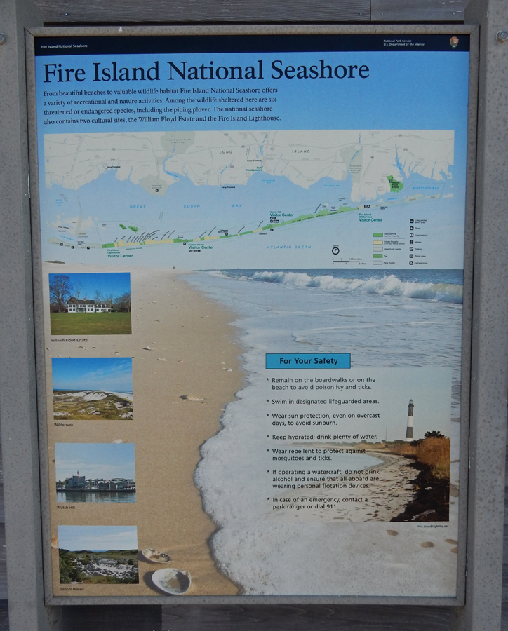
We then drove to the Visitor Ctr in Van Buren and watched their video. The ranger was super-nice and gave us a new Ozark Riverway quarter.

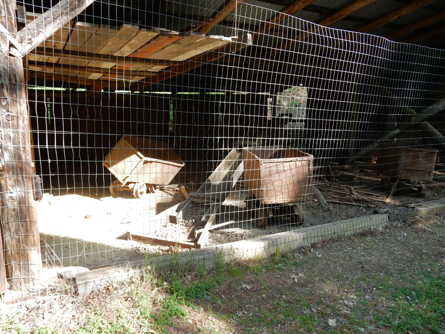
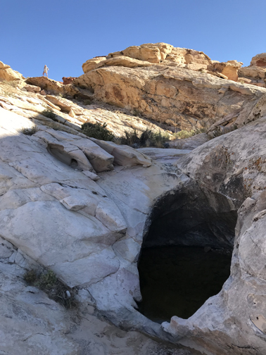
We then saw the Big Spring CCC Historic District and did the hike that goes behind the spring


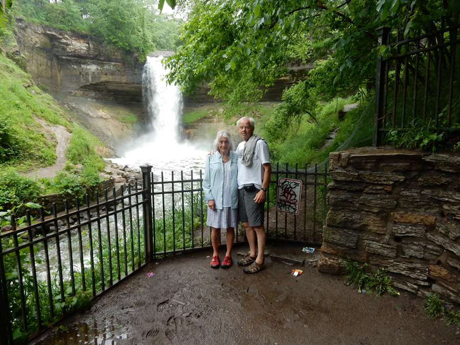
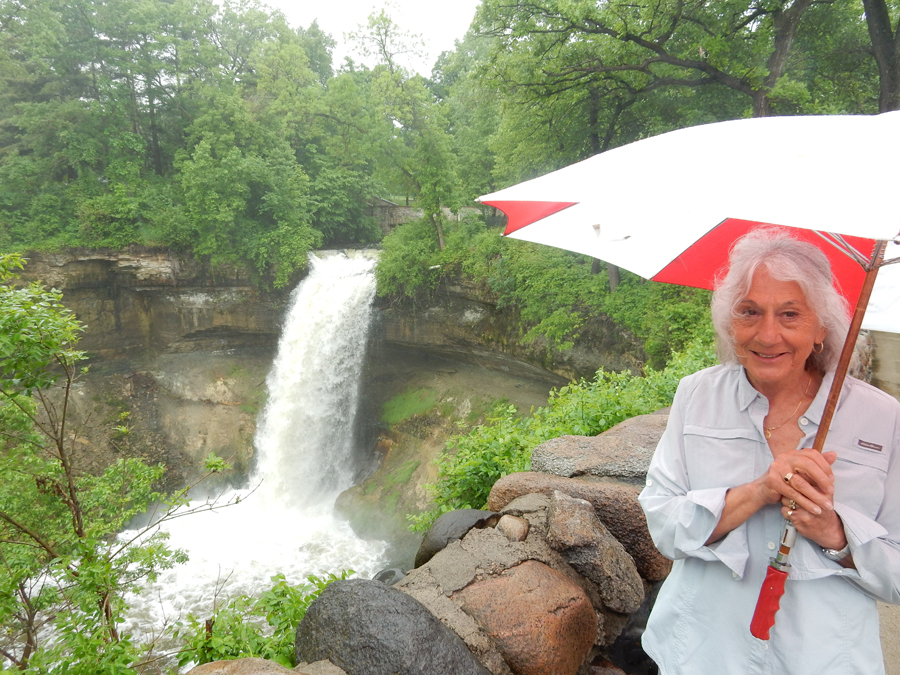
Looking out from behind where Big Spring boils up from under the rock face

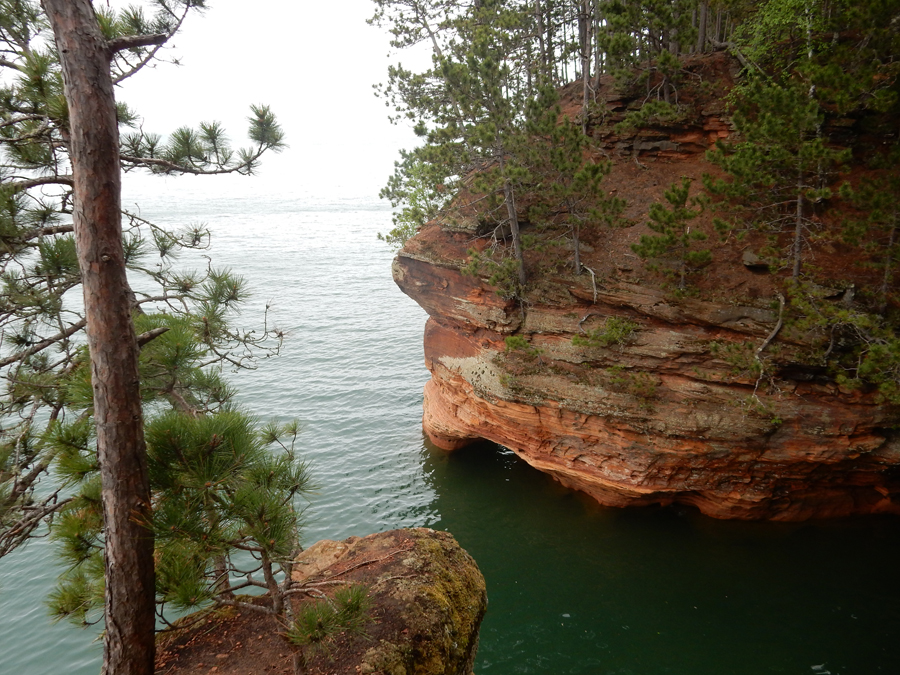
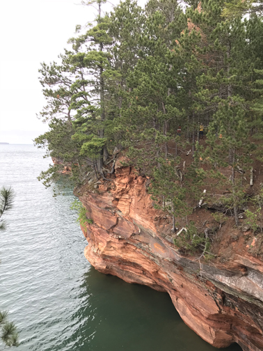
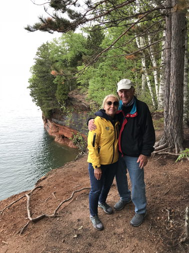
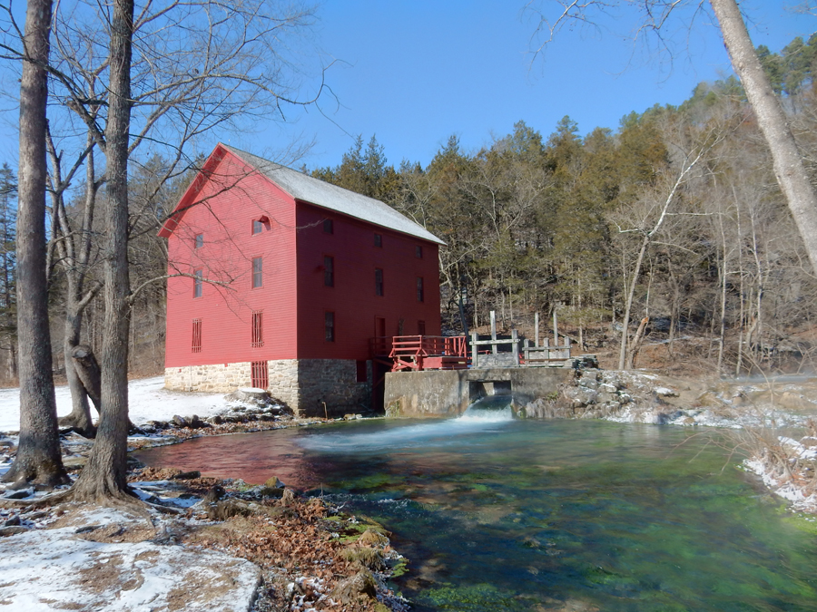
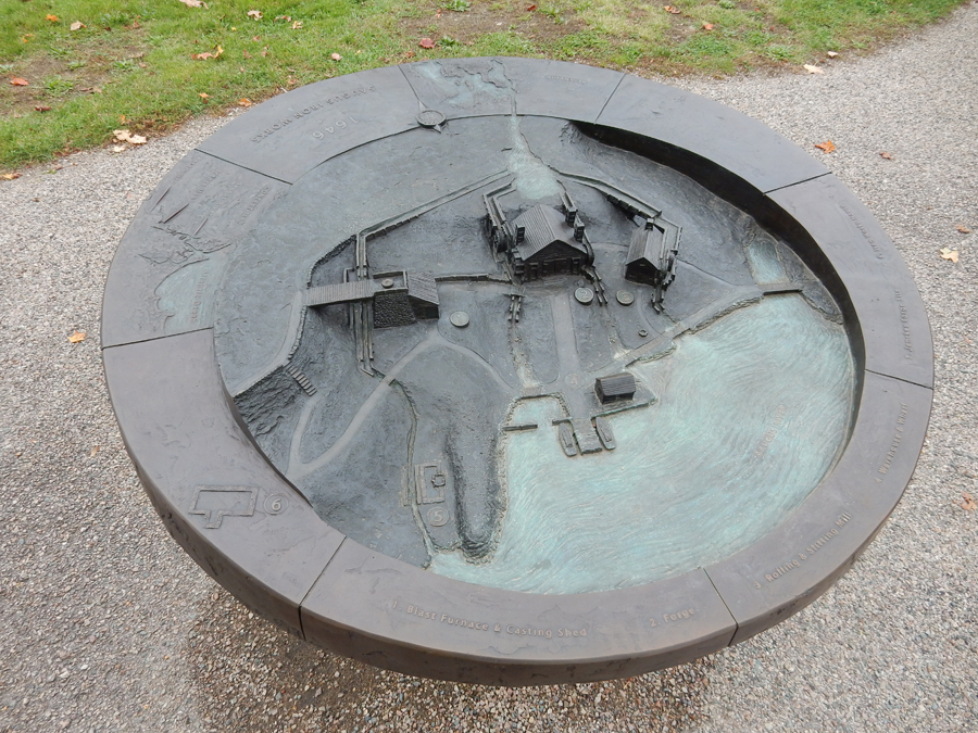
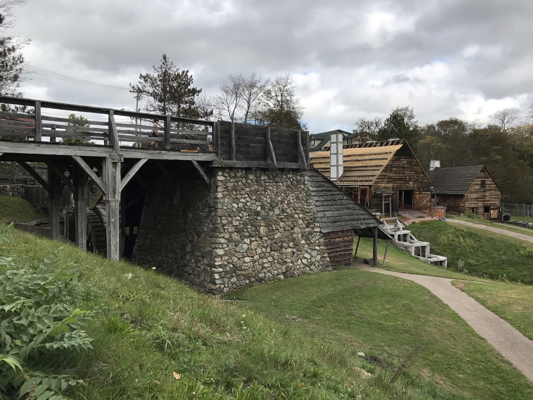
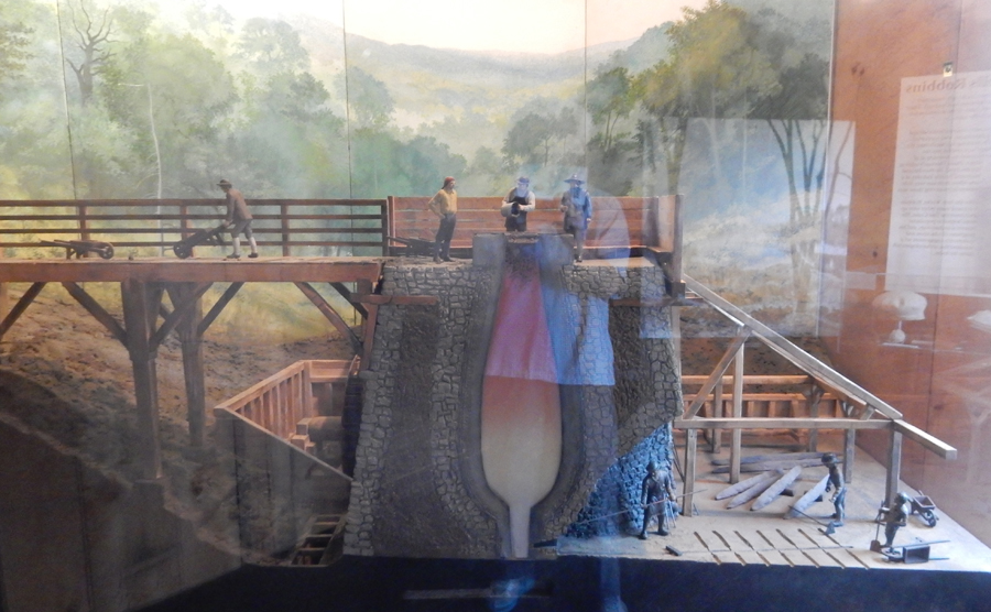
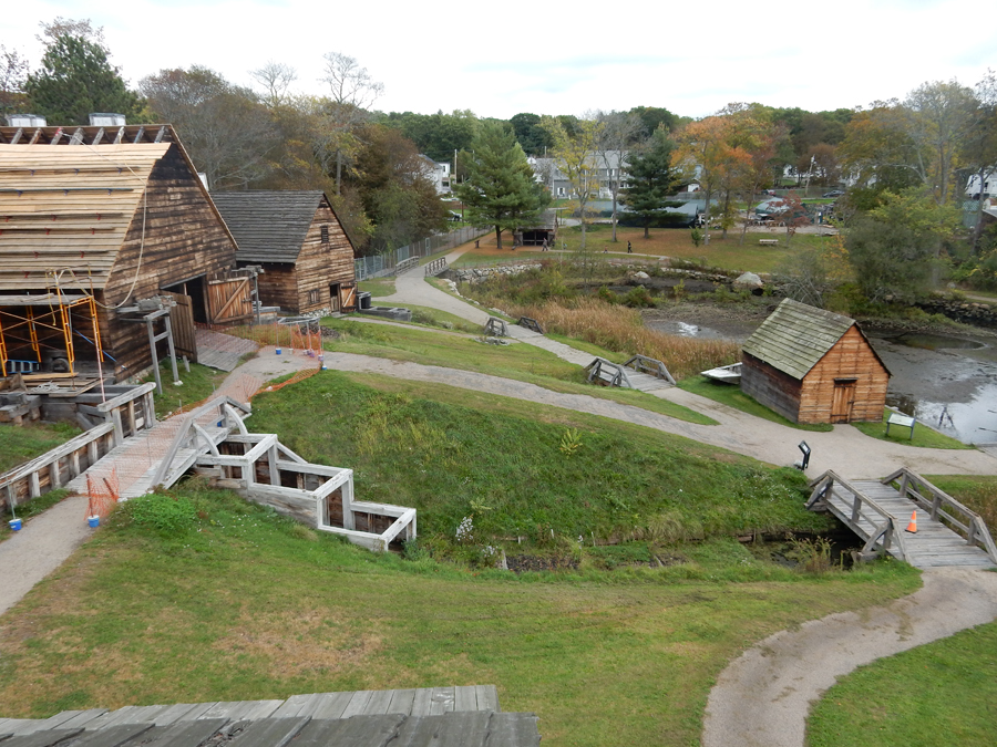
It took a good hour to drive up river to Alley Mill. The red mill provided a perfect background for the turquoise water

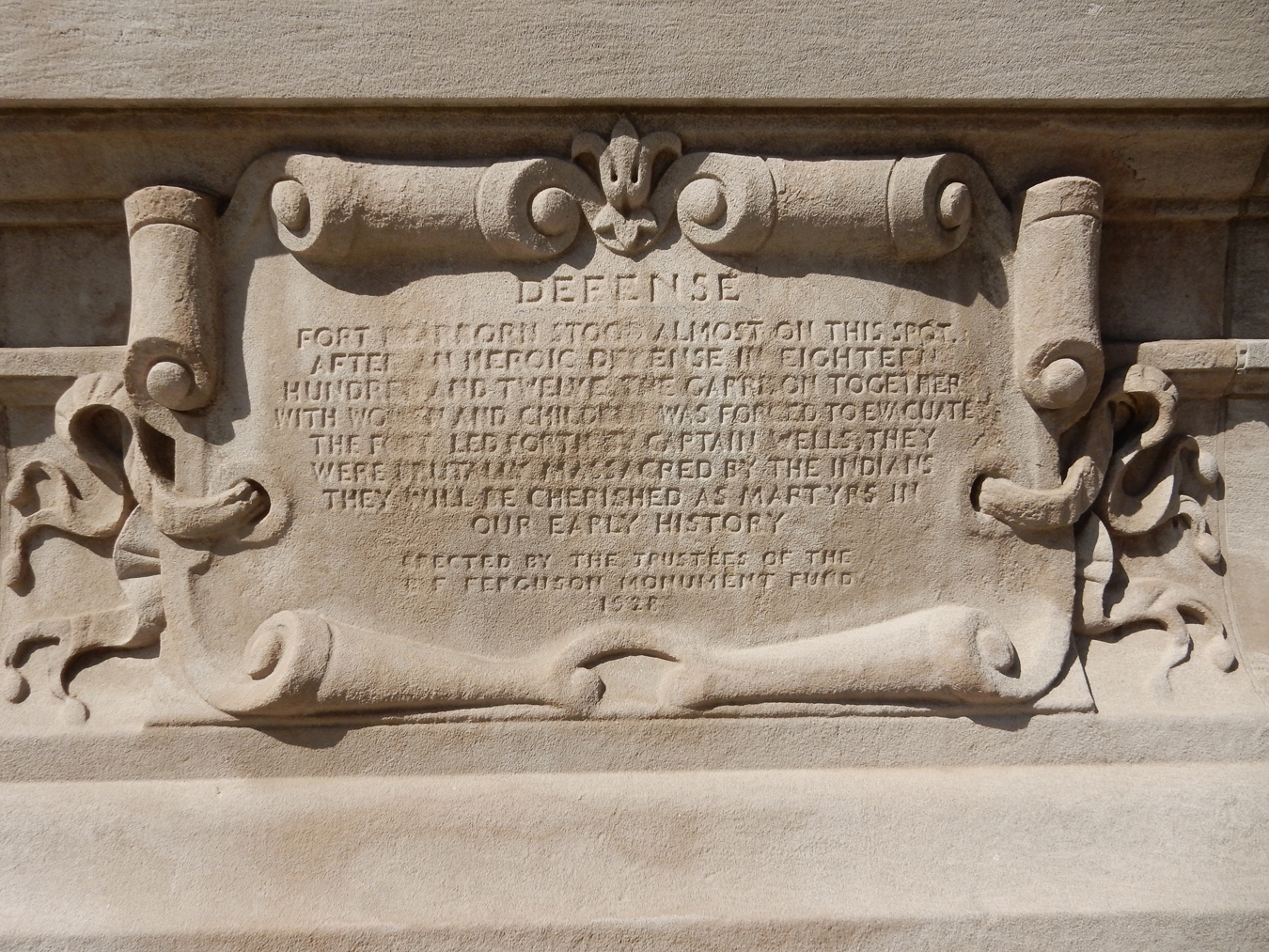
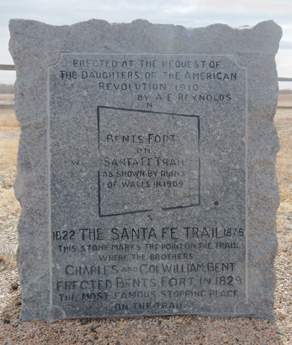
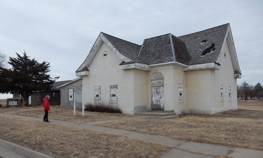
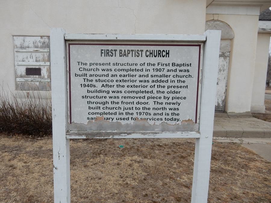
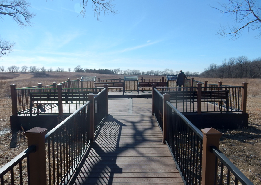
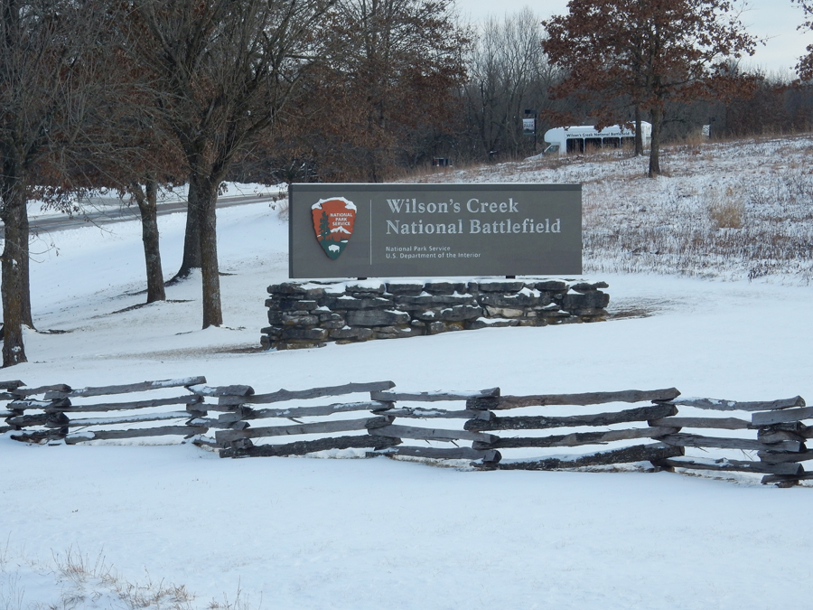
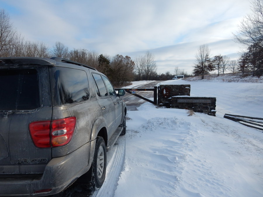
It took about 3hrs to drive to Wilson’s Creek National Battlefield outside of Springfield MO. When we arrived, we found not only the Visitor Center but the entire park closed. I could not believe it!


That night we experienced our first Airbnb accommodation (Springfield MO). This was one where we had a room in someone’s home and used shared kitchen and toilet facilities. We found it very uncomfortable and vowed not to make any new Airbnb reservations where we did not have our own independent room and restroom. The host was very nice but we decided we would be more comfortable with our privacy.
1/17 W – We were back at Wilson’s Creek NB when the Visitor Center opened at 8:30am. They got an ear full about their closure the previous day. They explained that when the local schools closed because of COLD, that they also closed. I stated that this was a nationally, not locally, administered park. There was no notice of park closure on their web site. I asked that my concerns be passed on to the superintendent.

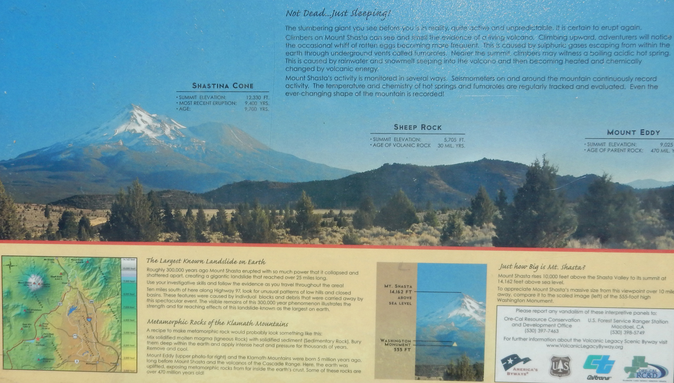
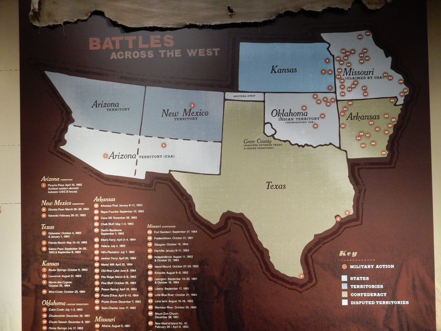
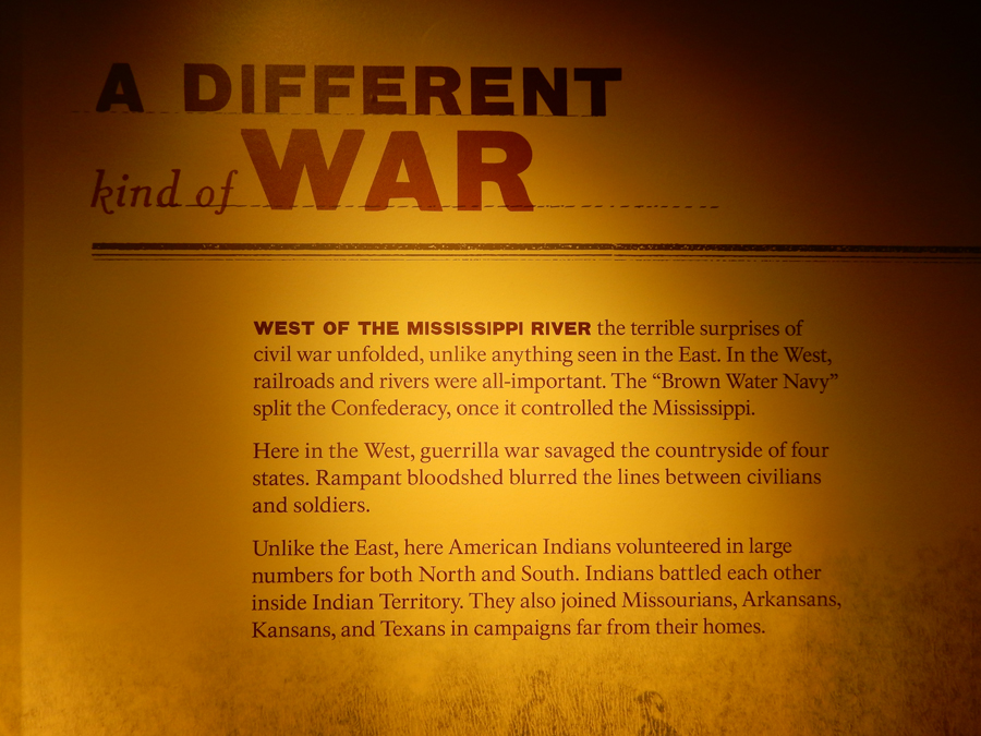
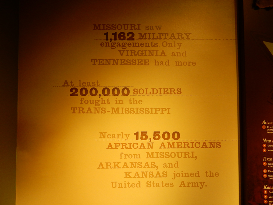
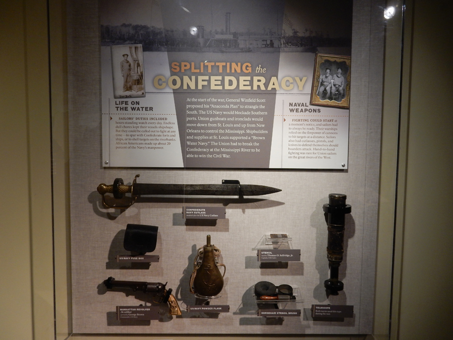
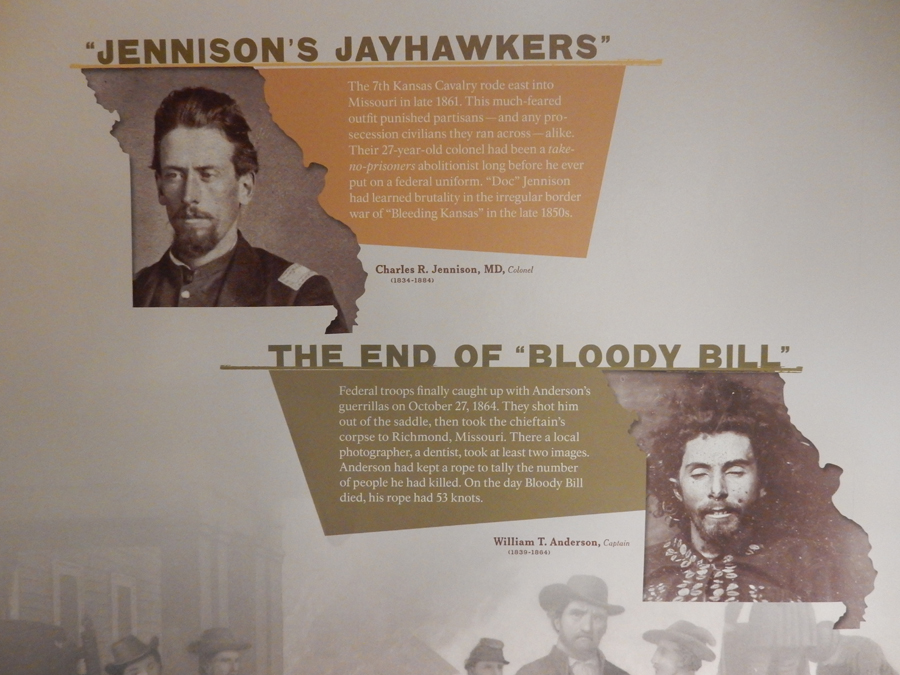
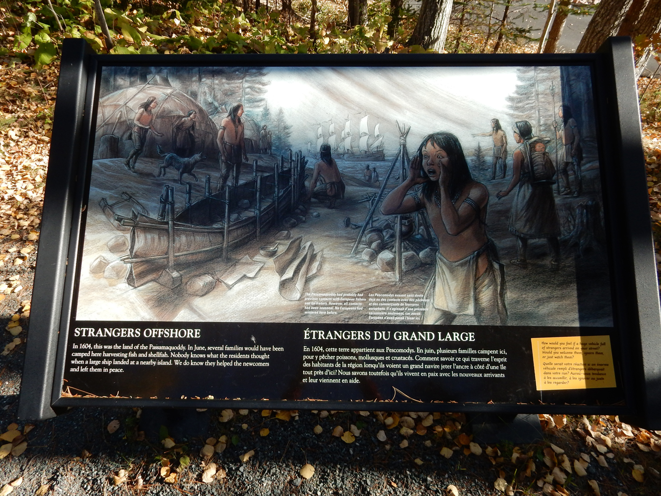
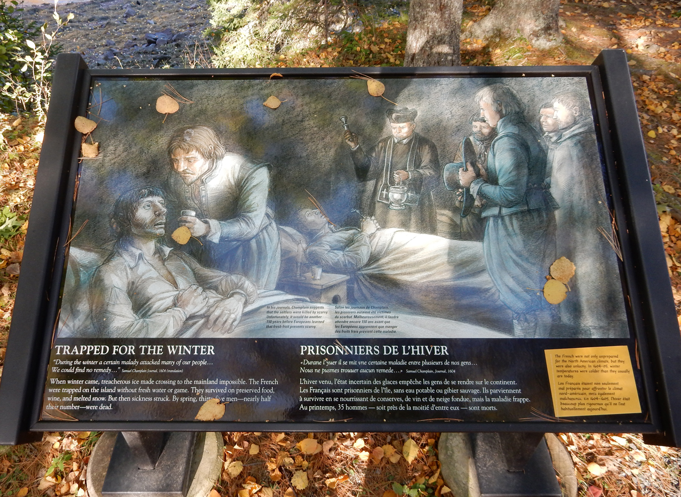
Most Americans do not realize the number of Civil War battles that took place west of the Mississippi River.

August 10, 1861, the Battle of Wilson’s Creek opened the Civil War in MO. It was the second major battle of the Civil War. For the next 3.5 years the state saw fierce fighting, mostly guerrilla warfare, with bands of mounted raiders destroying anything military or civilian that could aid the enemy.


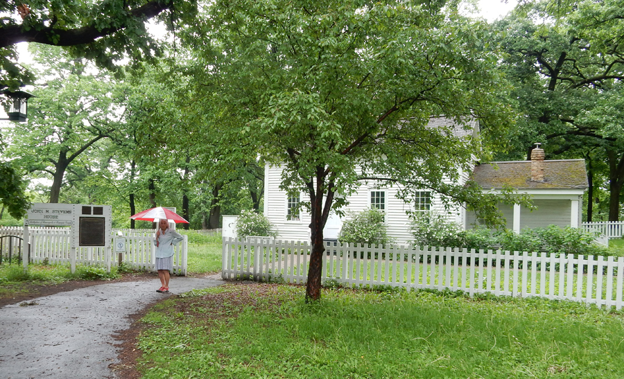
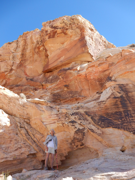
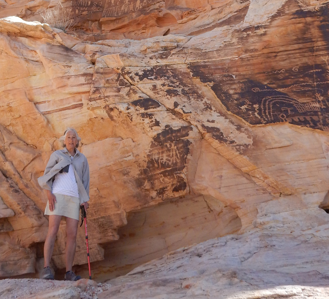
After the Visitor Center, we drove the 5mi loop road stopping at points of interest. This is the Ray house where he watched the battle from his porch.

East Battlefield Overlook


Bloody Hill


Battle started here at 5am. Lyon’s troops then took Bloody Hill. Over 2,500 men were killed or wounded in the 6hr battle

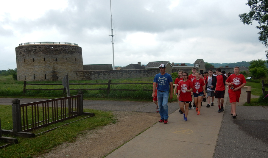
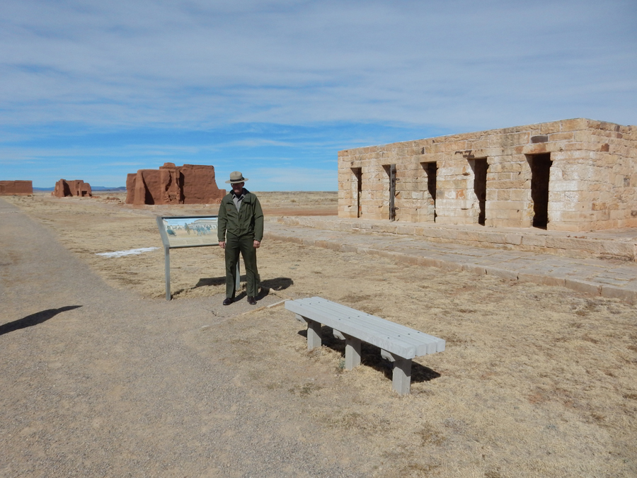
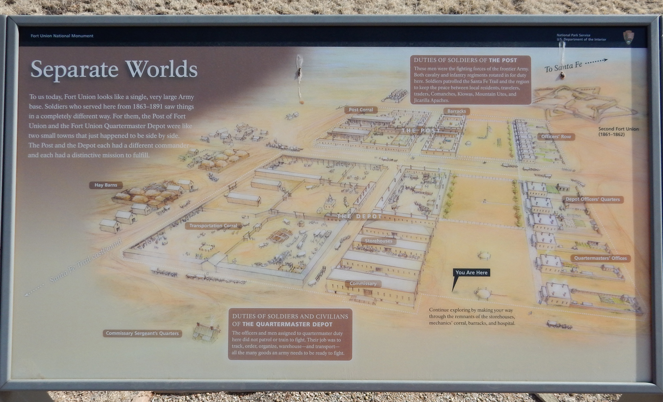
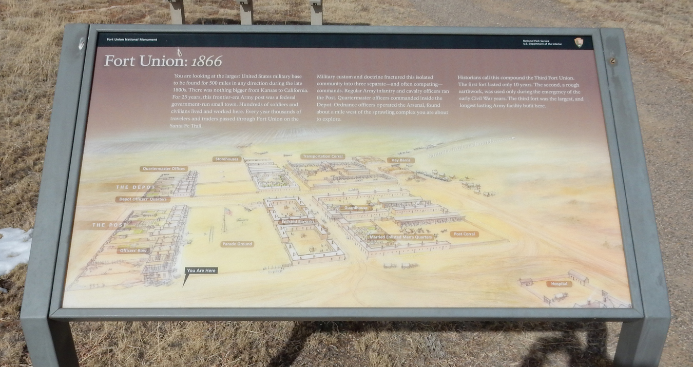
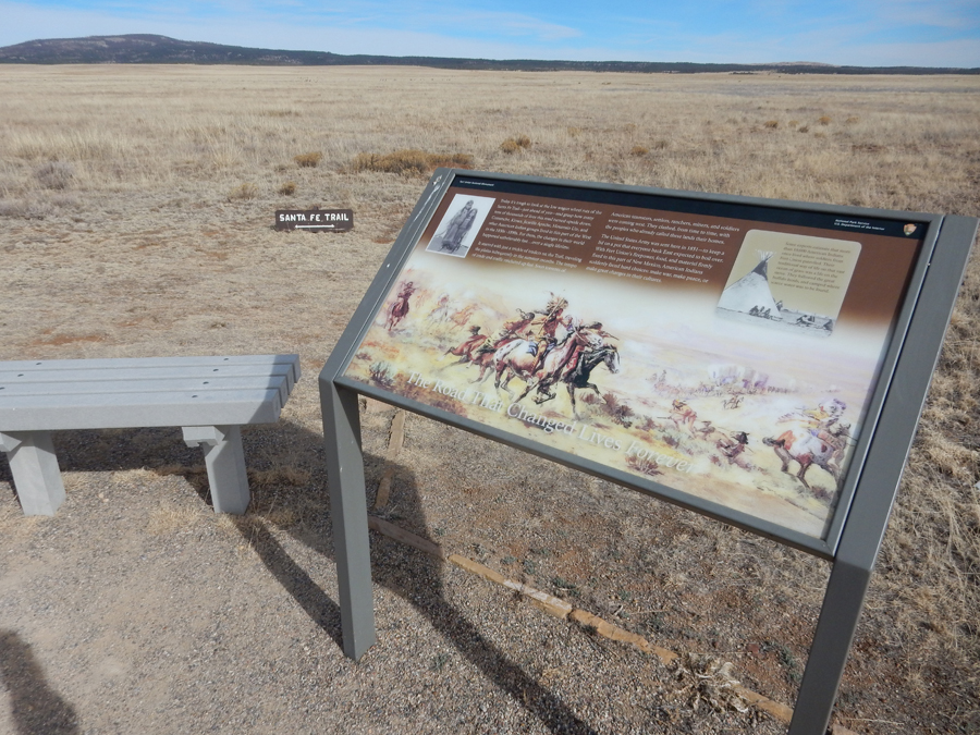
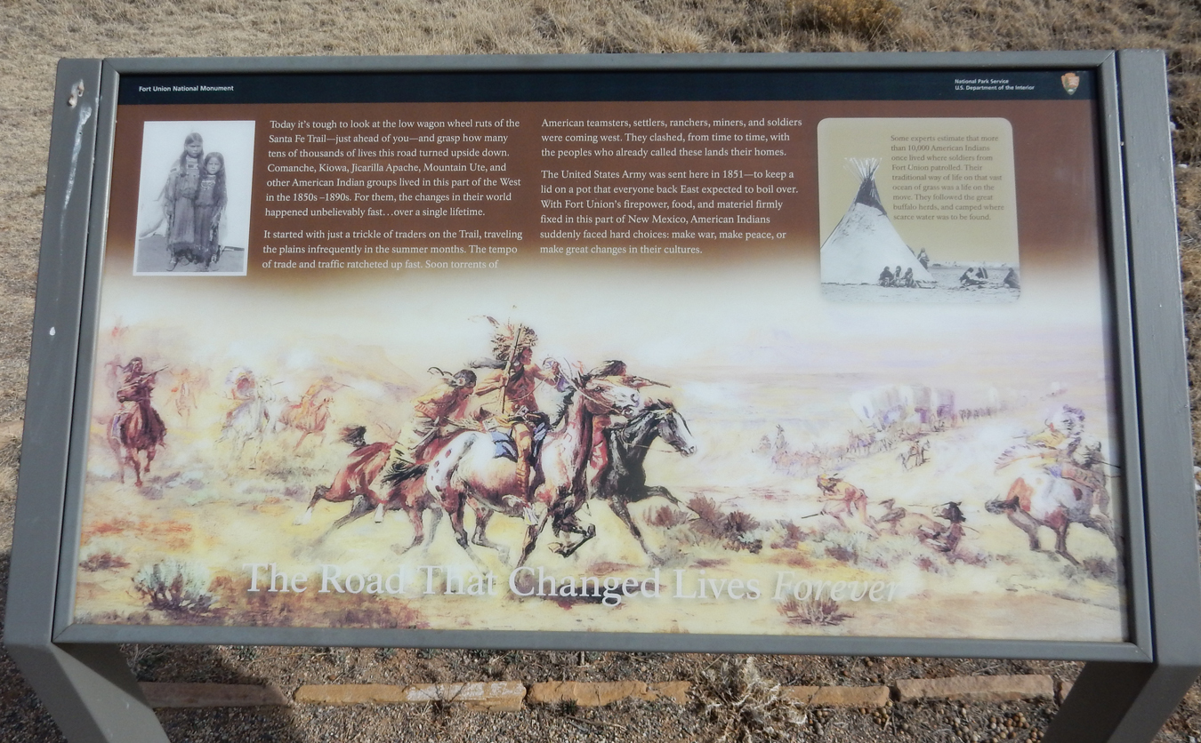
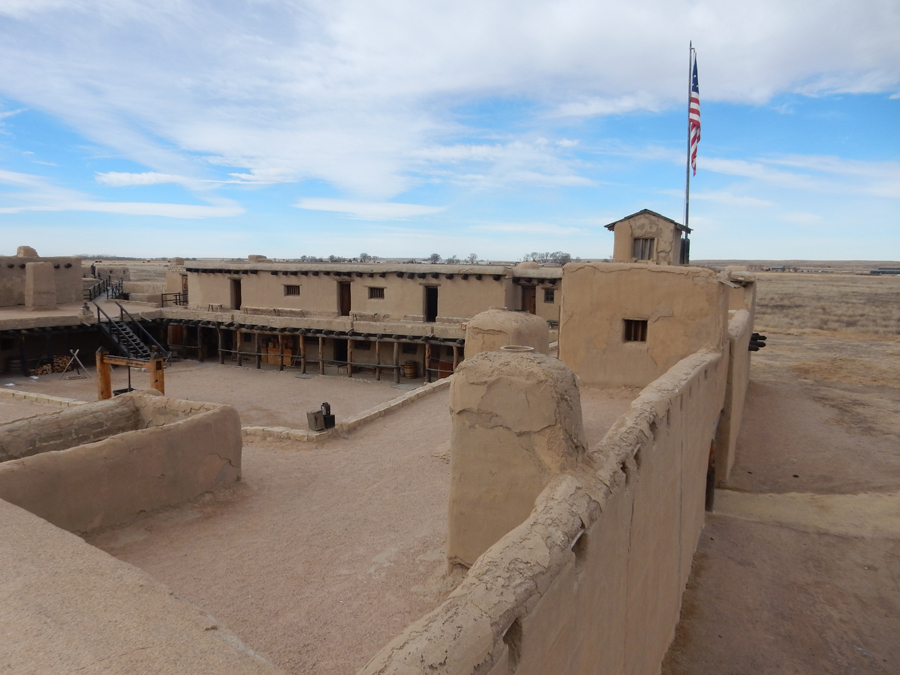
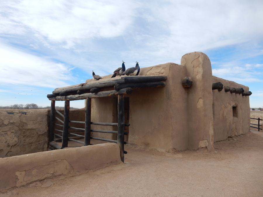
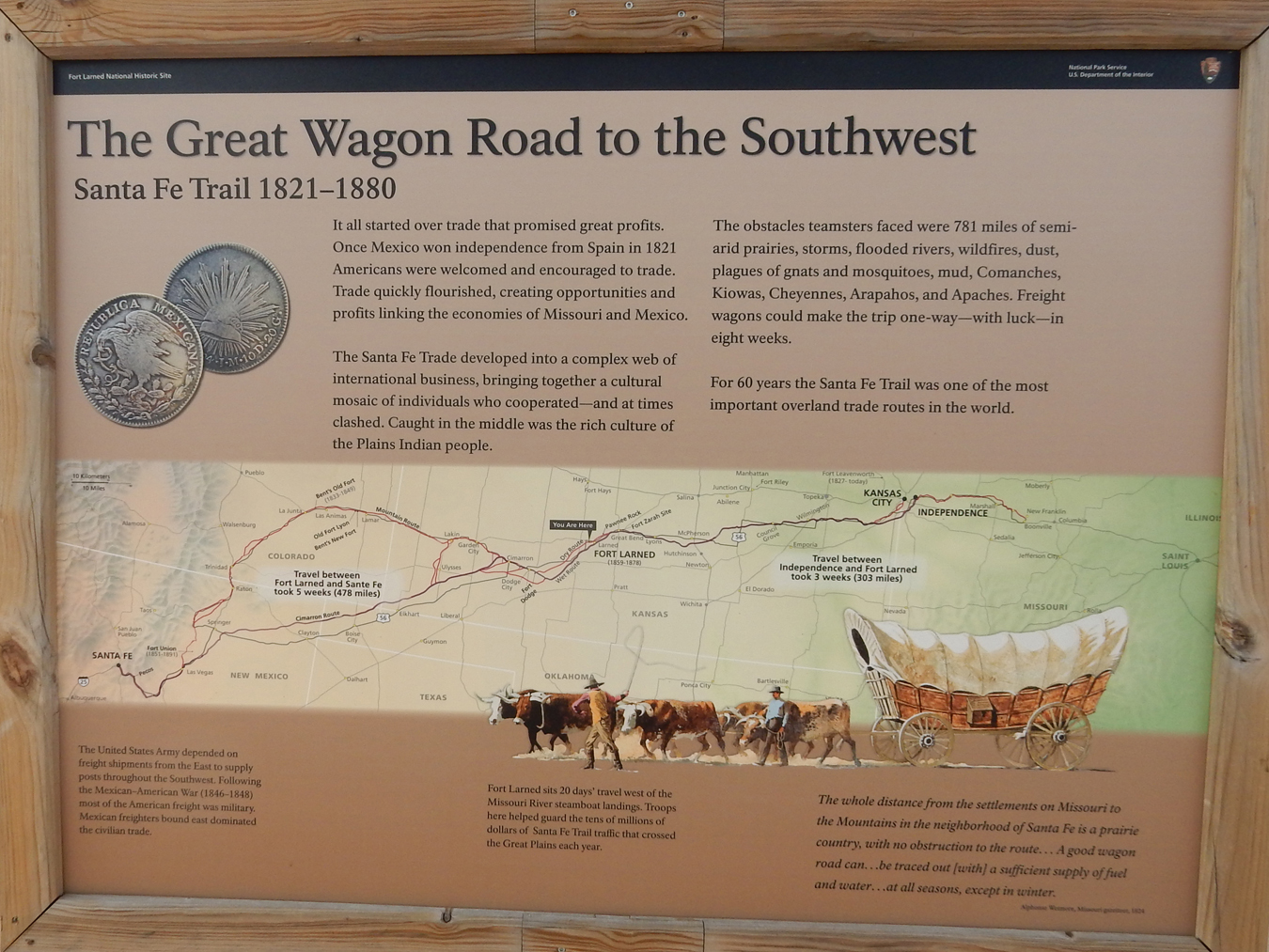
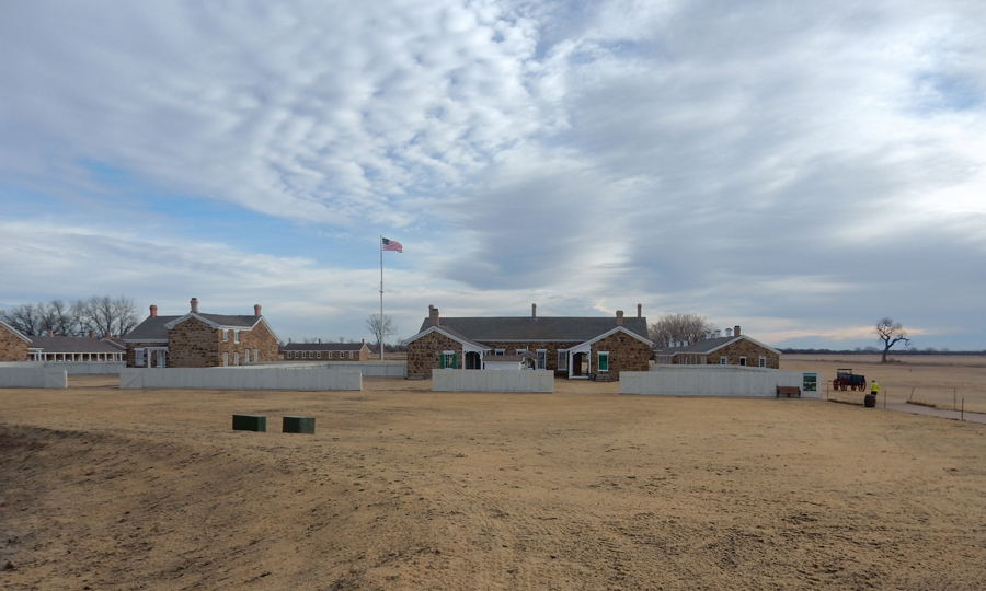
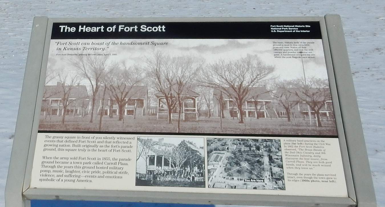
It took about 2.5hrs to drive to Fort Scott National Historic Site KS, only 6mi west of the MO border.


Fort Scott had three distinct periods. The first was from 1842 to 1853 when it was one of a string of forts (MN to LA) that were built to protect Indian Territory. Eastern Tribes had been relocated to the west of the Mississippi River and the forts were to protect the Indians and their “new” land from white settlements. Yes, the troops were there to protect the Indians!


The dragoons (trained to fight both on horseback and foot), were also used to escort travelers on the Sante Fe and Oregon Trails. From 1846-48 they fought in the Mexican American War. With “Manifest Destiny,” i.e. America’s divine right to stretch from sea to sea, the idea of permanent Indian territory died and Fort Scott was abandoned in 1853.


Fort Scott was re-established in 1861 and served as a supply depot for the Western Campaigns during the Civil War. It was also a strategic location protecting SE Kansas from Confederate invasion. The fort closed for the second time in 1865 after the end of the Civil War.


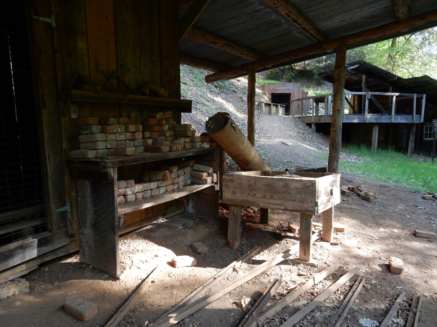
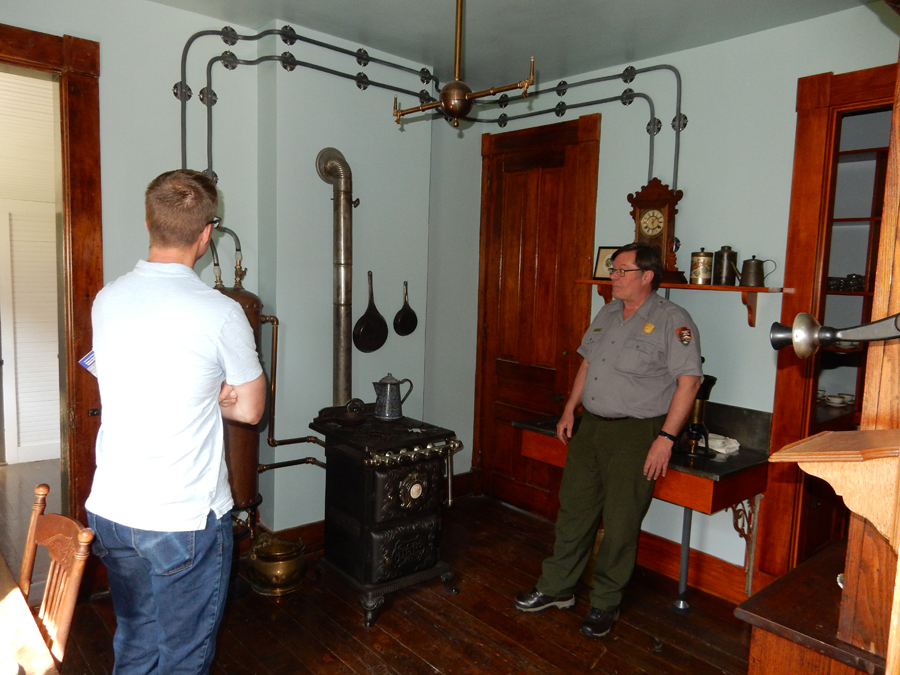
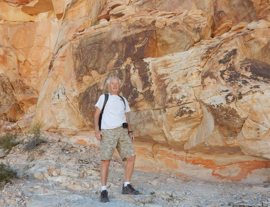
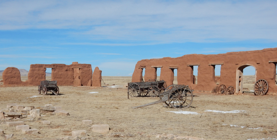
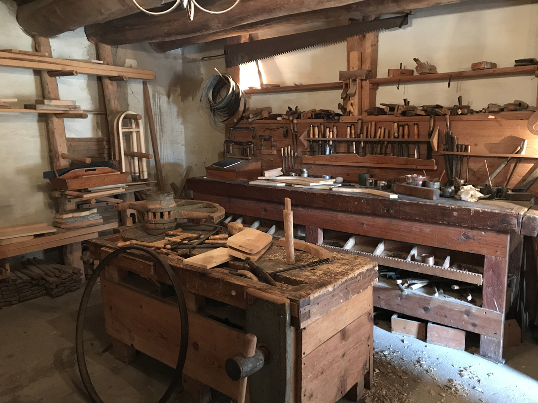
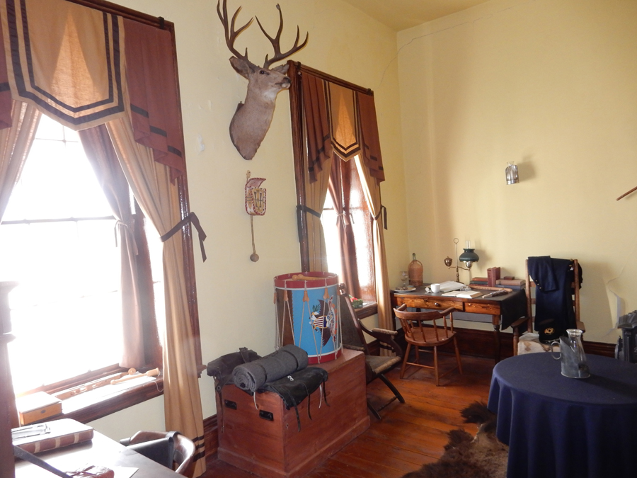
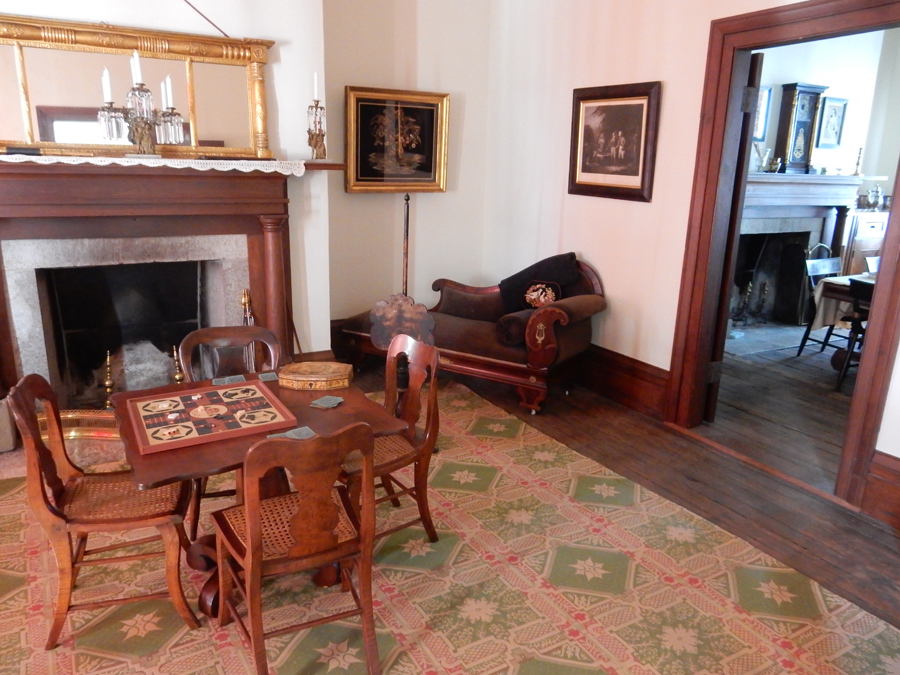
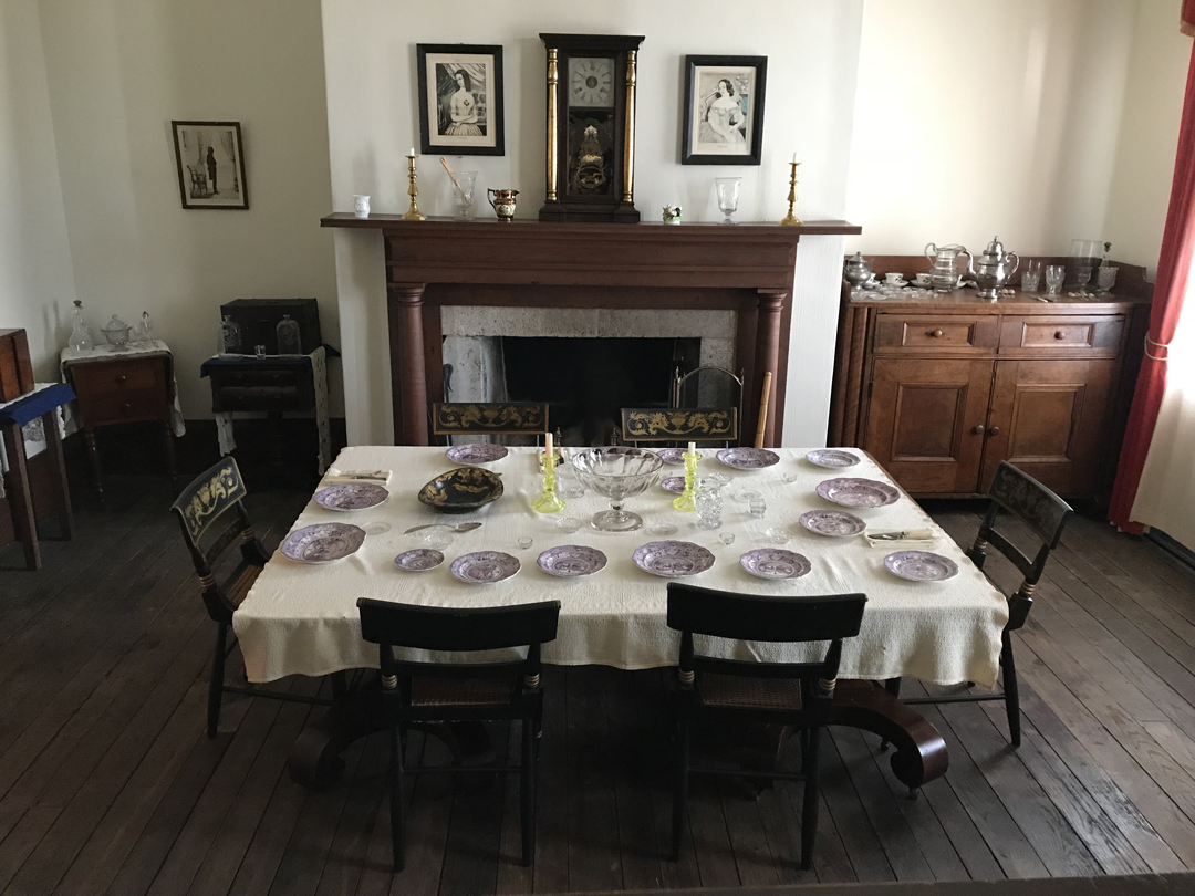
Interestingly, it was re-opened from 1869-1873 to protect railroad workers. This was an example of US troops taking up arms against American citizens to protect the country’s business interests! Here are some pics from inside the buildings.


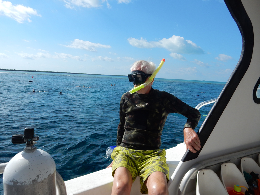
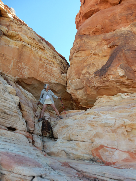
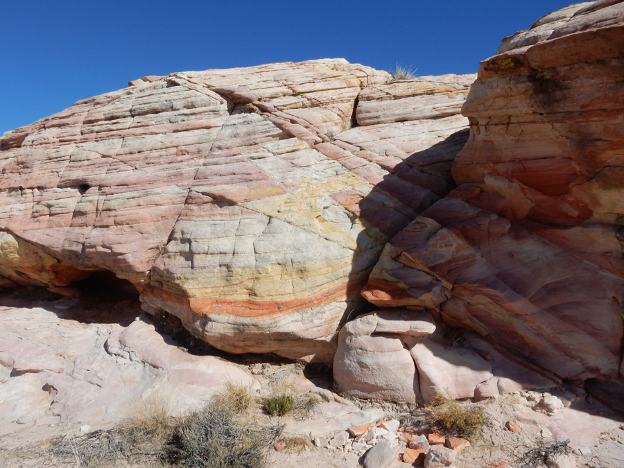
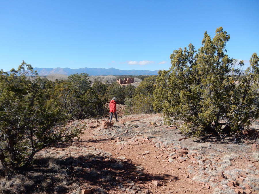
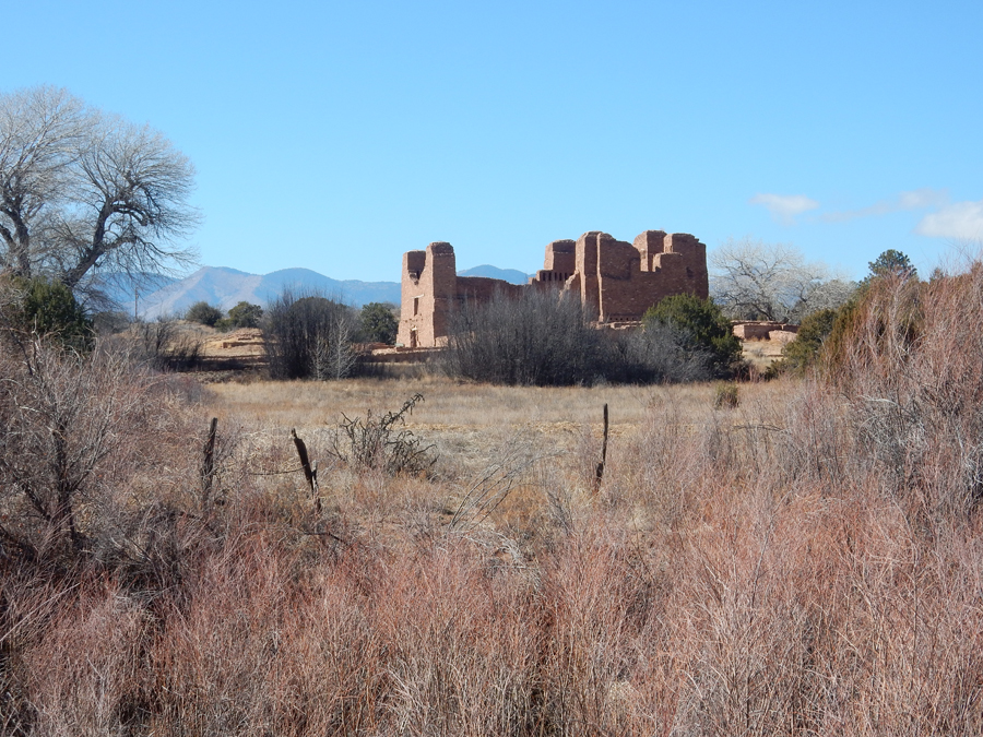
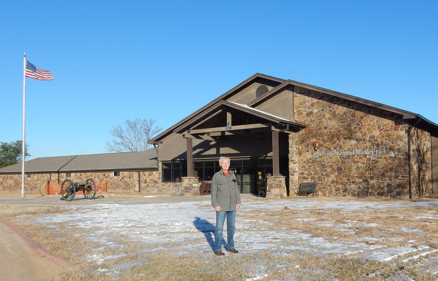
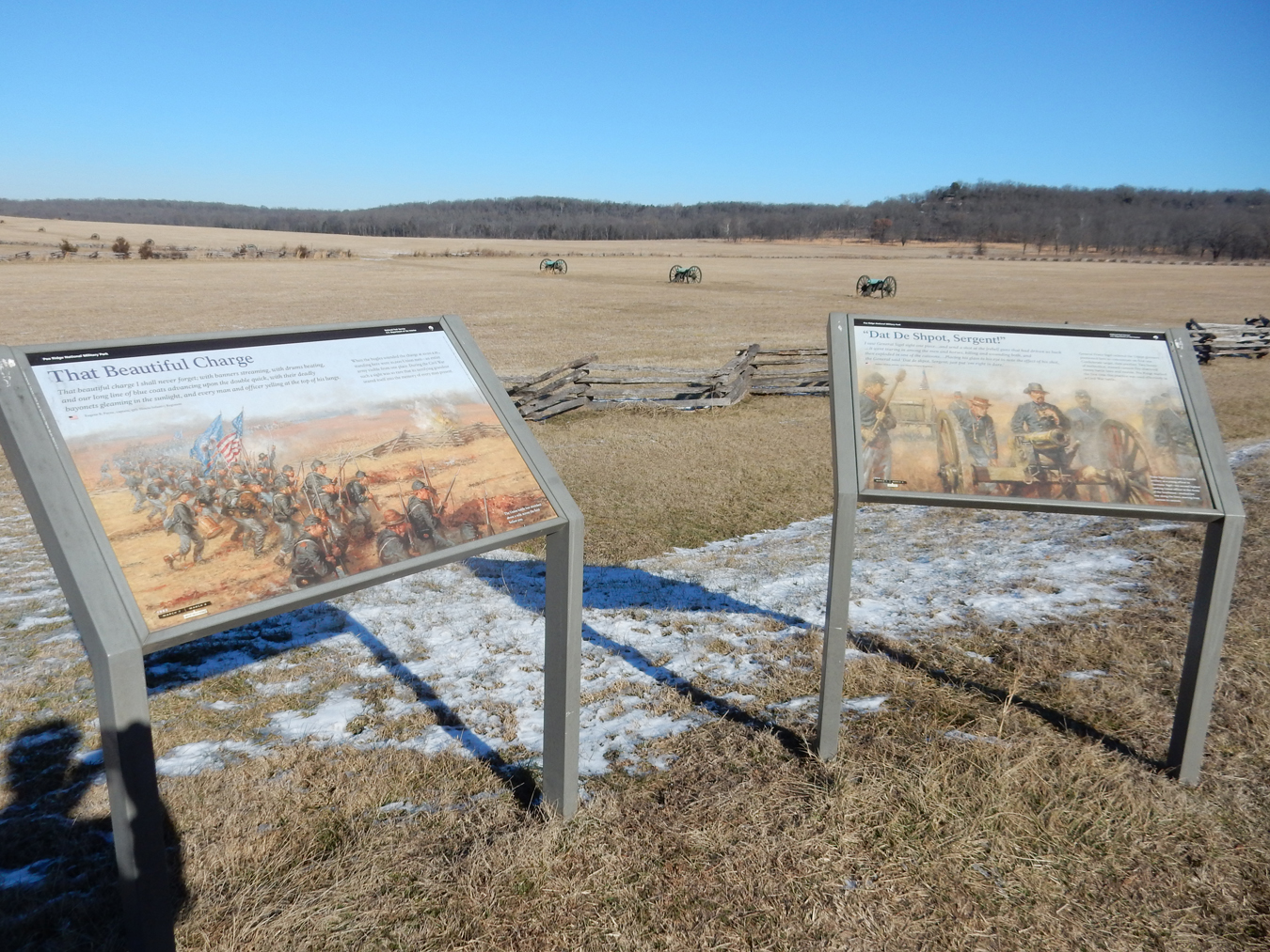
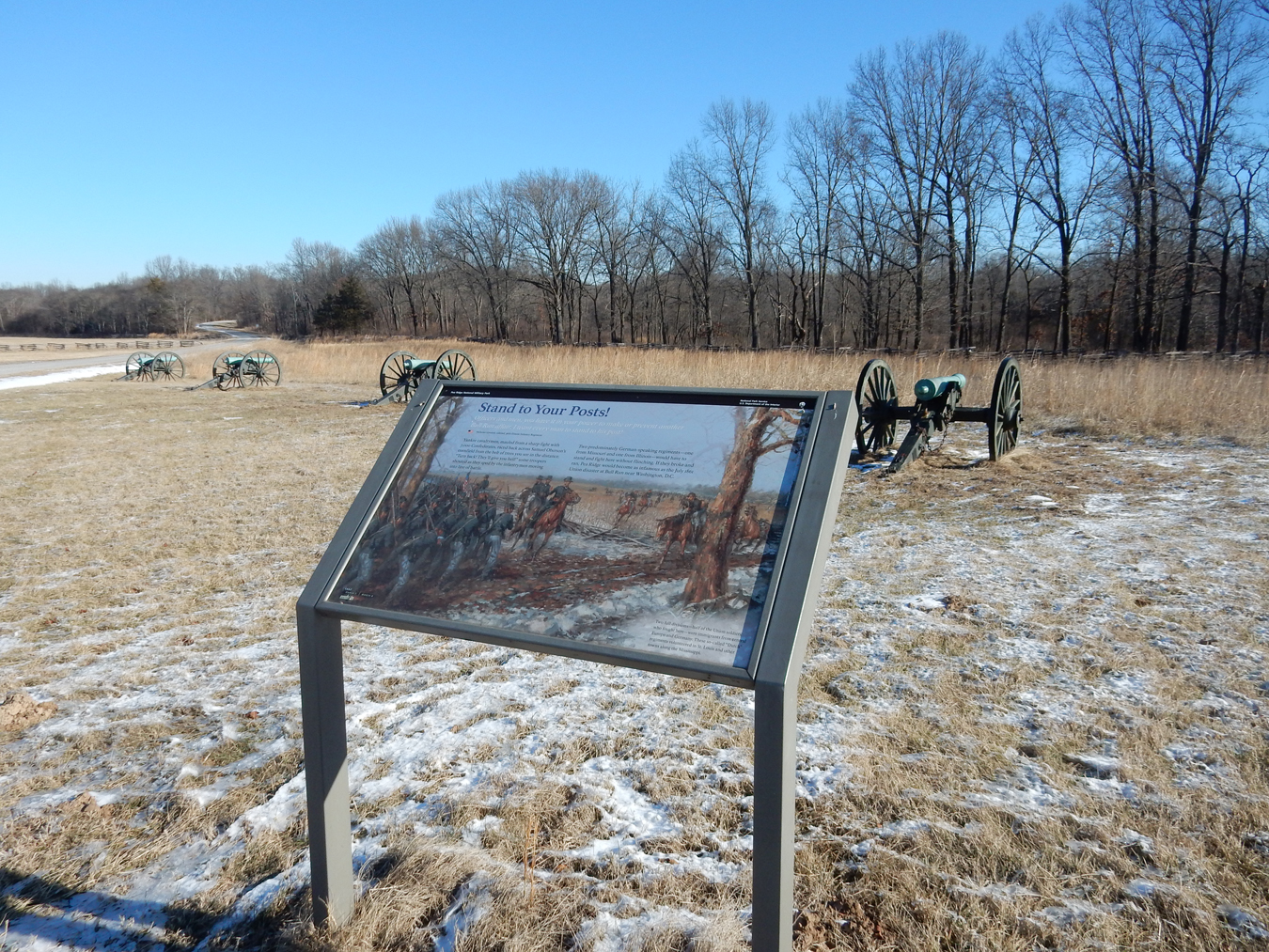
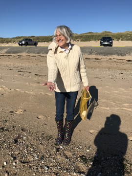
1/18 Th – Helen purchase a large piece of slag glass, in the shape of a fish, along a back hills road on the way to Pea Ridge National Military Park Arkansas. Our first stop was the Visitor Center. We then drove the park loop road stopping/hiking at points of interest.


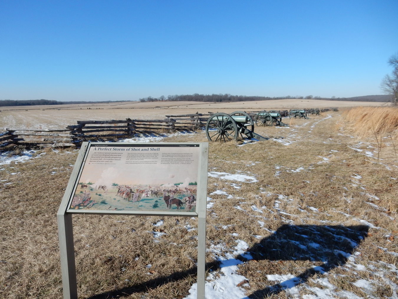
“The Battle That Saved Missouri for the Union.” Recall that yesterday we were at Wilson’s Creek National Battlefield. After that battle (August 1861) the Confederates withdrew, reformed and joined with other forces in Arkansas. Now a 16,000-man army, including about 1,000 Cherokees, their objective was to take St Louis. The 10,500 Federals knew they were coming and dug in along the bluffs above Little Sugar Creek and below Elkhorn Mountain, which is part of the Pea Ridge plateau. This was one of the few Civil War battles where the Confederates outnumbered the Federals.


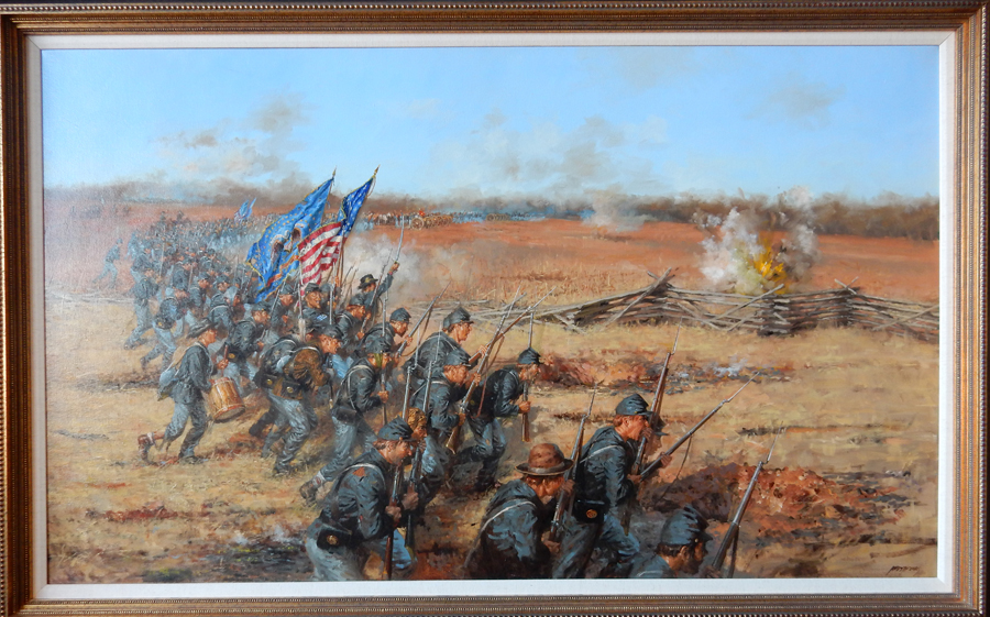
The battle took place over two days. On March 7, 1862 the Federals held off a major Confederate attack on its flank and rear.


On March 8th, the Union forces counterattacked and drove them from the field.

These were the positions of the forces before the second day of battle

The battle is also known as the “Battle of Elkhorn Tavern,” because on the first day of the battle the Confederates took the tavern and on the second day of the battle the Union forces took it back. After this battle, most of the Confederate and Federal troops moved east of the Mississippi to fight in other campaigns.

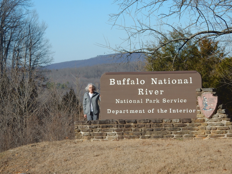
It took about 3 hrs to get to the Tyler Bend Visitor Center for the Buffalo National River


We then drove a short distance south to the Sod Collier Homestead


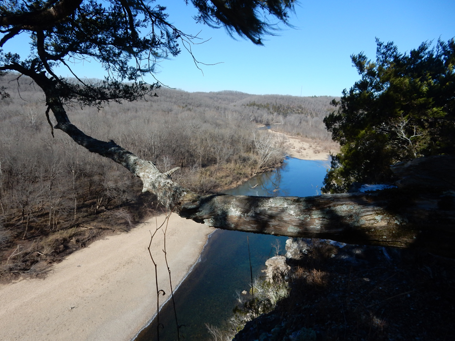
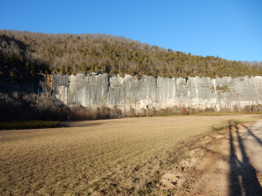
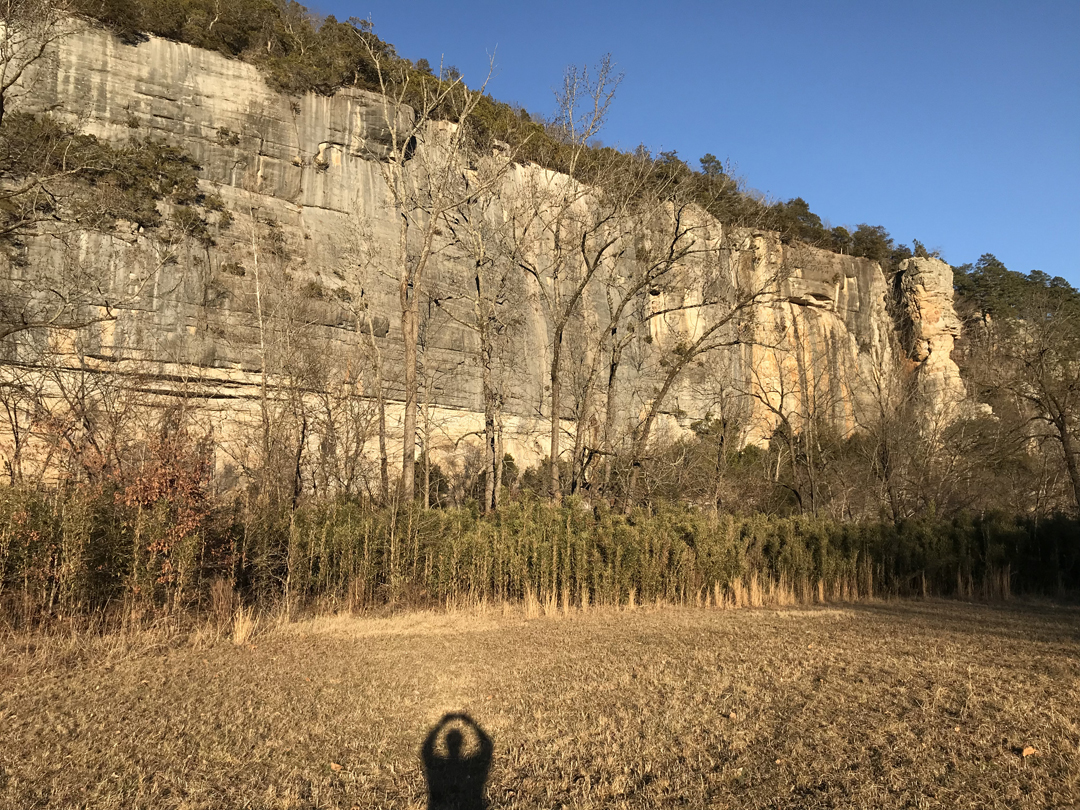
I then took the 1.5mi Riverview Trail back to the Visitor Center and Helen met me there. There were some nice views from the cliffs overlooking the Buffalo River


It took about 1.5hrs to drive west to the Ponca Wilderness area of the Buffalo National River

We arrived at the Steel Creek Ranger Station area as the sun was setting. I decided to hike across the fields and down to the river.


Photo of bluffs on the north side of the river. My shadow looks like I’m starting the O of the OHIO cheer!

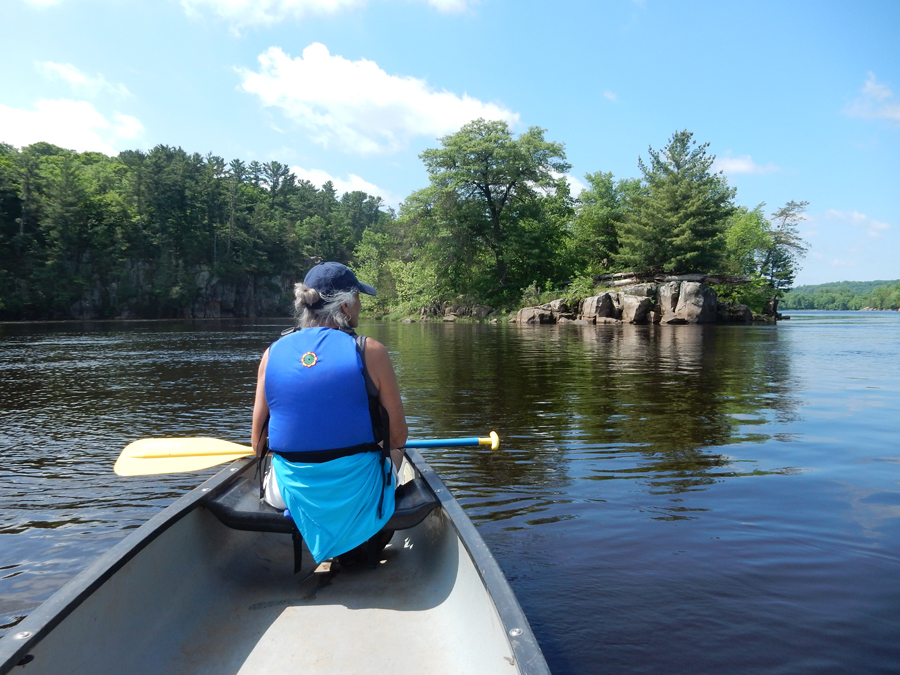
I was able to get some nice pics of the bluffs from river level. I’d like to come back some time and canoe this part of the river.

It was cool; you can see some ice on the river close to shore

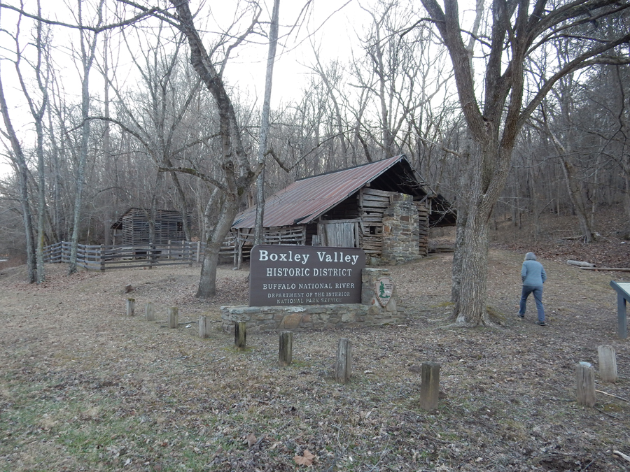
We did a quick stop at a homestead in Boxley Valley as we drove into Ponca


It was now dinner time and we stopped to ask where we might eat. They directed us back the mountain to the Low Gap Café where we had a good blackened catfish dinner. As we drove to our B&B, we stopped in Lost Valley where we saw a large herd of elk – too bad my camera was not able to get a good picture.

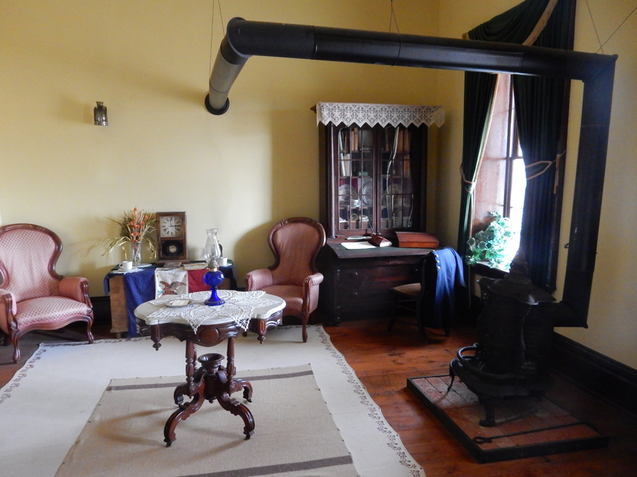
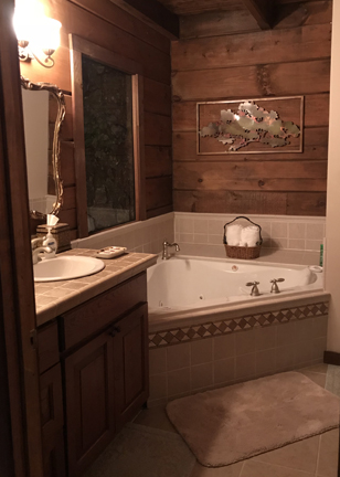
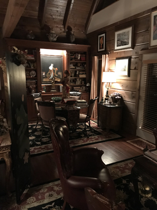
It was only a short distance to the Azalea Falls Beauty Lodge B&B. As it turned out, we were the only ones in the Lodge and they upgraded us to the Master Bedroom Suite with deck. This is a picture from the next morning.

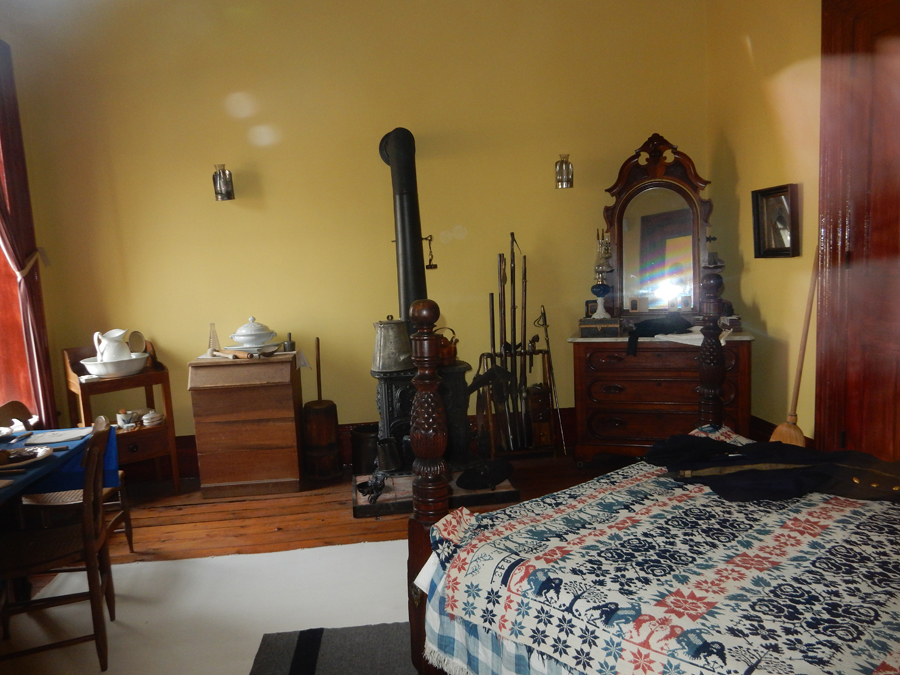
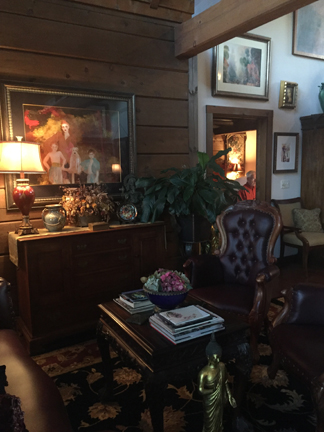
The place was huge, extravagantly decorated and we had it all to ourselves. It was big bucks to build and decorate. This was the view of the central area as you walked in. the second pic is the back half of the same area taken from the second floor.


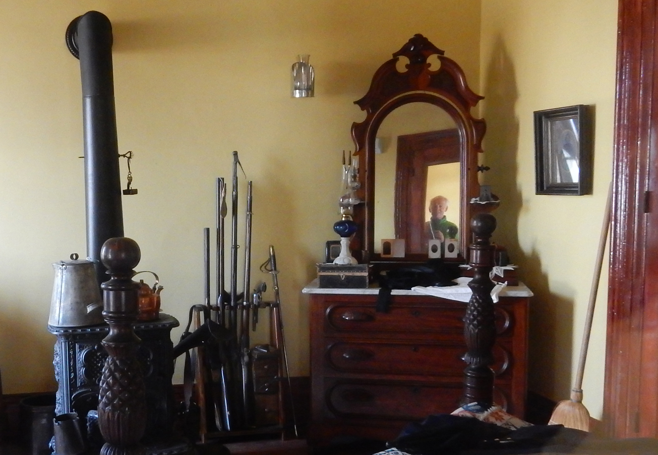
Many antiques and expensive reproductions

An eclectic choice of furnishings, Helen sitting in our bedroom and Tom at desk in bedroom

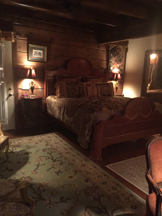
Our room, we actually used the two-person jacuzzi

In addition to our room, there were two large bedrooms on the second floor. These are pictures of the second-floor seating area at night and in the morning.


It was only Helen and I sitting at this table for a wonderful breakfast.

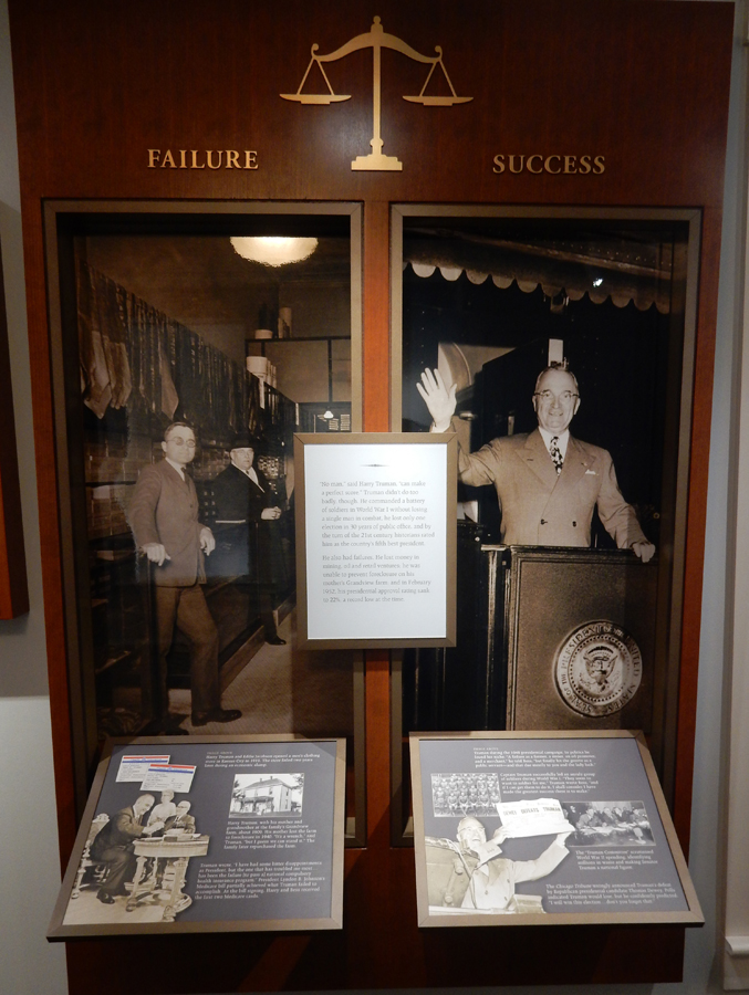
This was the nicest accommodation of our trip
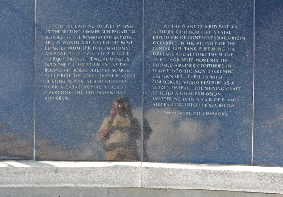
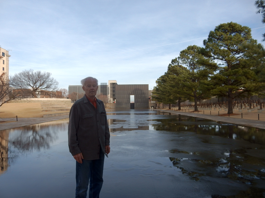
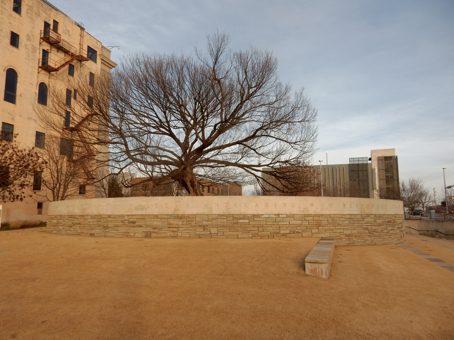
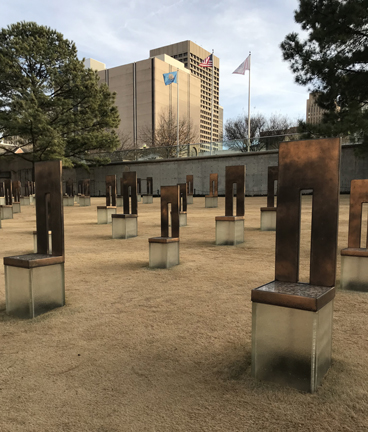
It took 5hrs to drive to the Oklahoma City National Memorial. It is not a National Park Unit but is an Affiliated Area with NP rangers on site. The Memorial commemorates the April 19, 1995 truck bomb explosion set off by Timothy McVeigh (now referred to as a “domestic” terrorist) outside of the nine-story Murrah Federal Building in Oklahoma City. The blast destroyed one-third of the building killing 168 men, women, and children. This is the outside of the West Gate of Time – on the opposite side is a Large 9:03.

This is the inside of the East Gate of Time – note the large 9:01. 9:01am was the time the explosion occurred.

The Reflecting Pool, that is between the Gates of Time, represents the minute (9:02) of destruction between 9:01 and 9:03. Note the empty chairs to the right.

The 168 chairs are within the footprint of the Federal Building. One for each victim, with the small chairs representing the children that were killed.
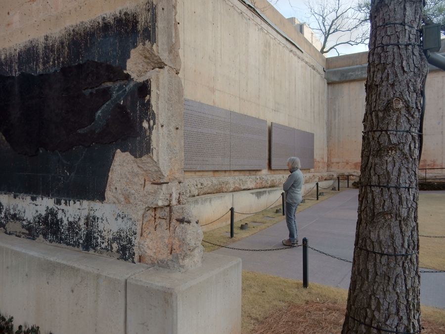
This is a picture of the only remaining walls, with the names of more than 600 people who survived the blast

Map of site

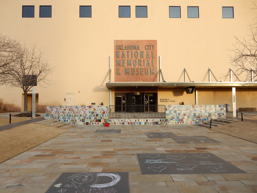
North of the Reflecting Pool is the Oklahoma City National Memorial Museum

There is a chalkboard terrace at the entrance where visitors are encouraged to share their feelings

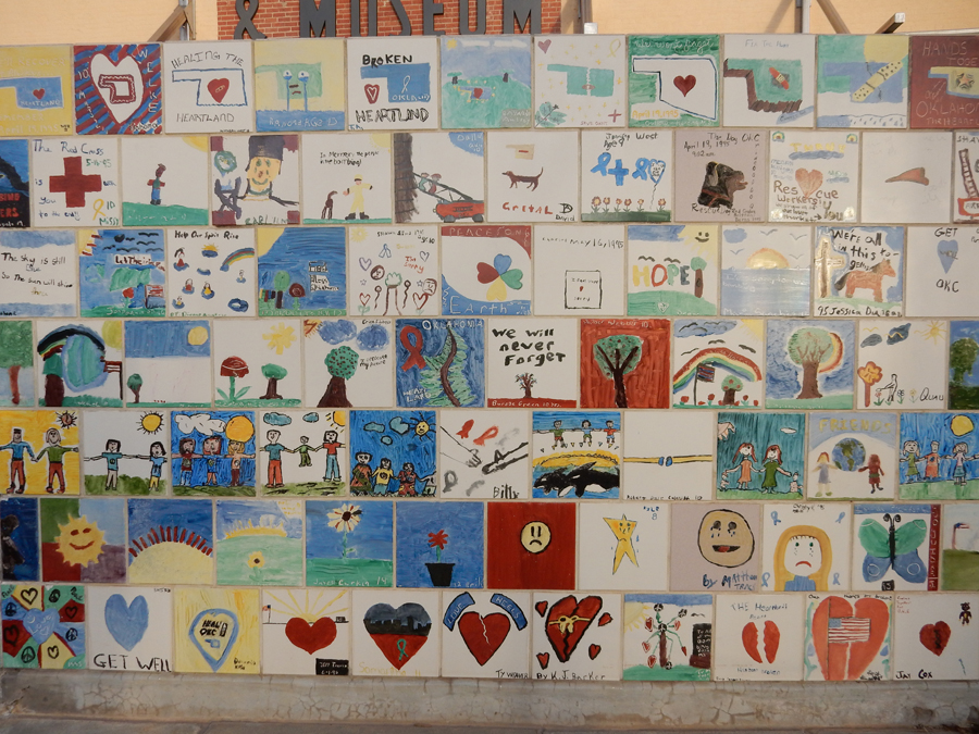
The hand painted tiles were made by children from around the world

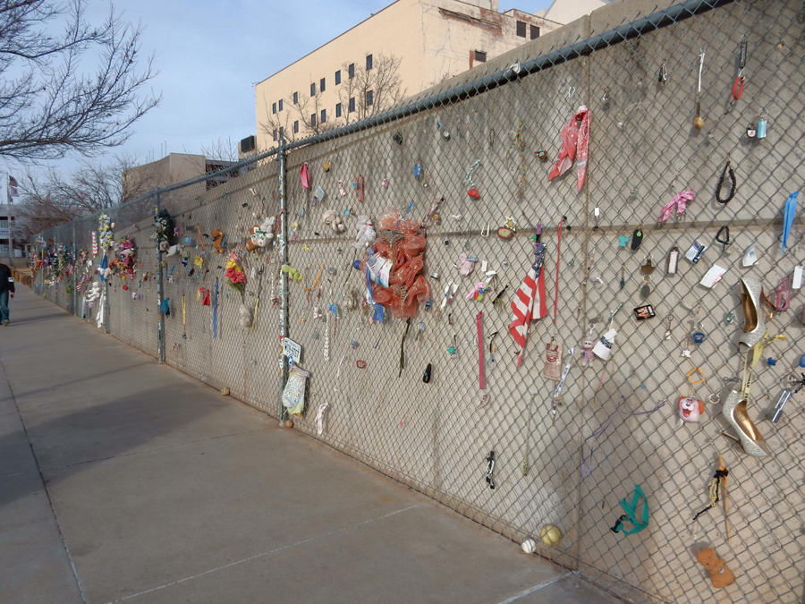
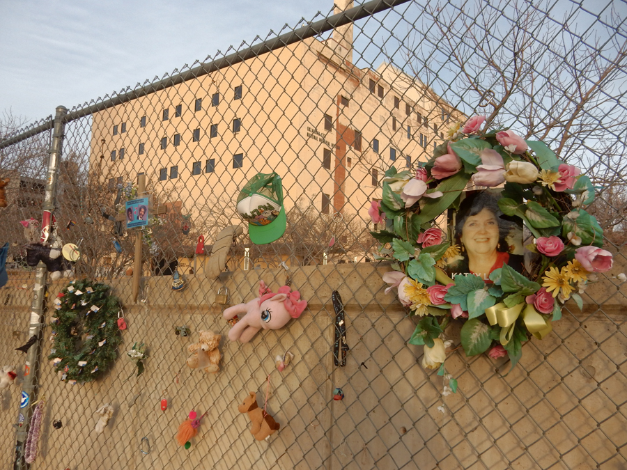
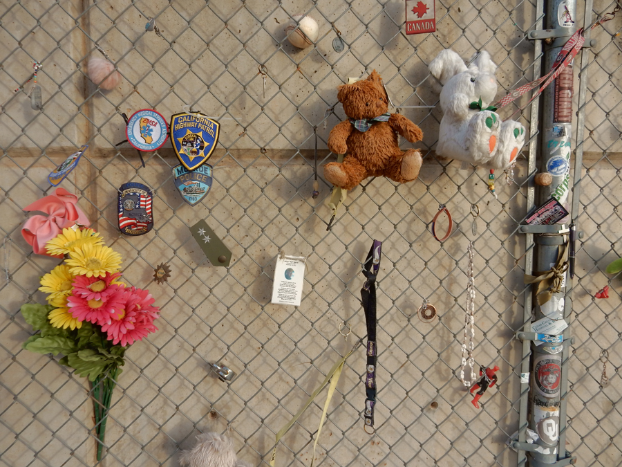
The west fence, that was installed to enclose the crime scene, has found another purpose


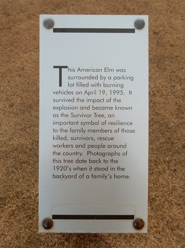
American Elm now known as the “Survivor Tree”


McVeigh and his associate Terry Nichols were said to be retaliating against the government’s handling of the Waco and Ruby Ridge incidents (the bombing occurred on the second anniversary of Waco). April 19th is Peter’s birthday. McVeigh was executed by lethal injection on June 11, 2001 and Nichols is in jail serving a life sentence.
We slept at a Comfort Inn in Elk City OK
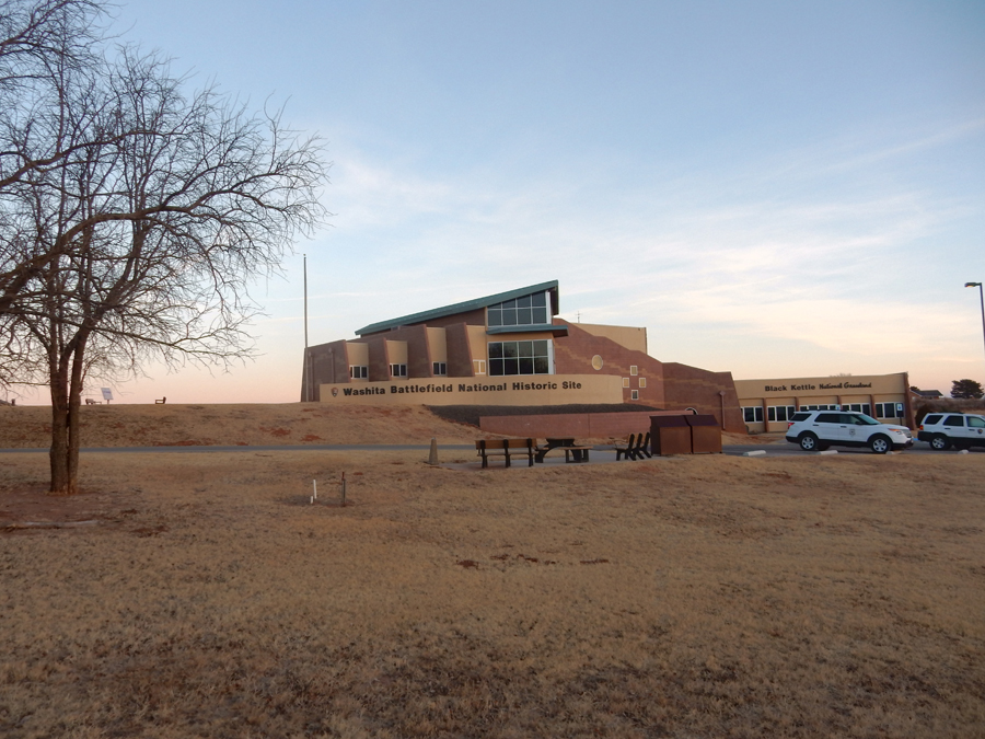
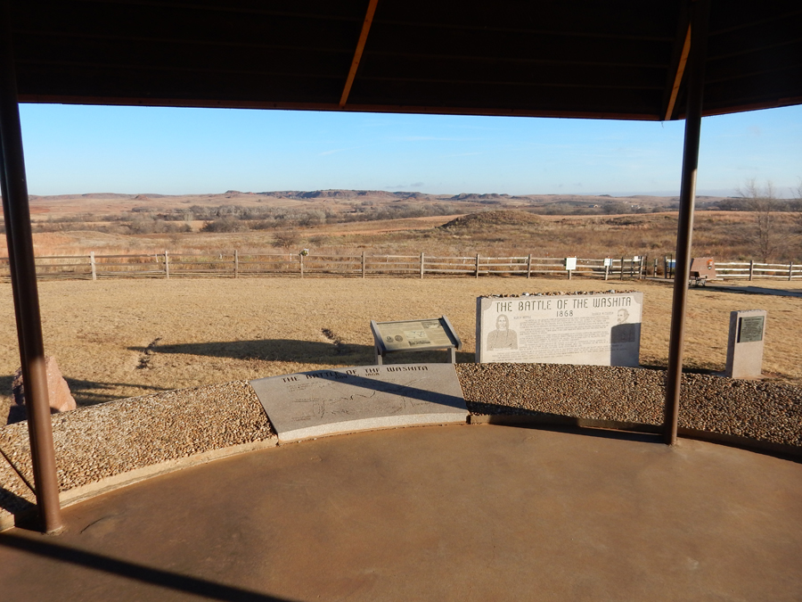
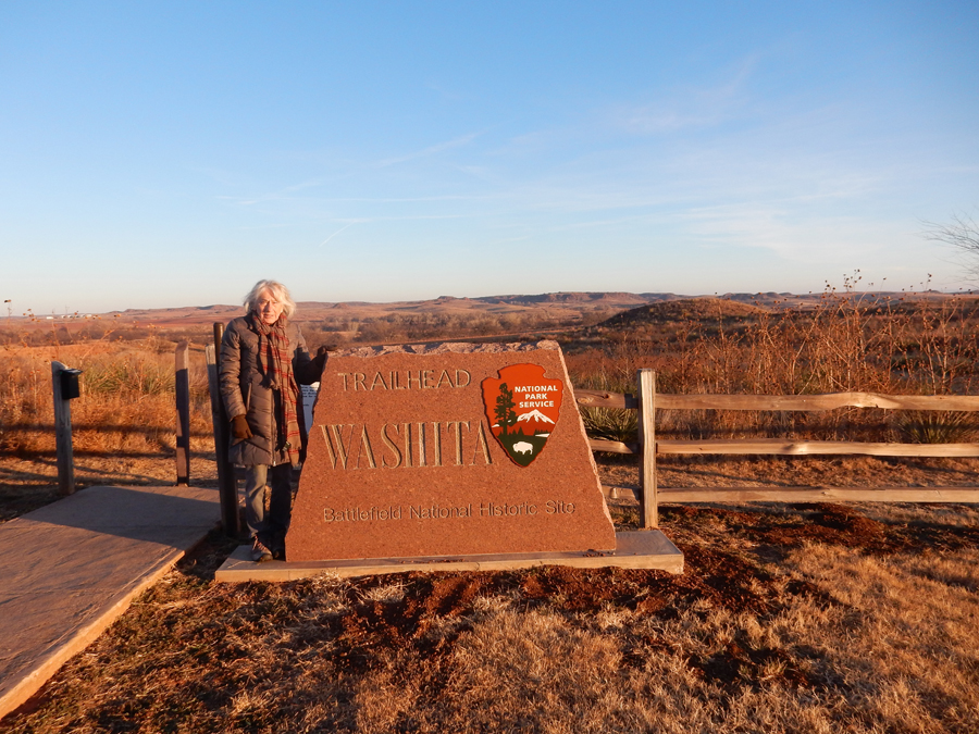
1/20 Sat – 1hr drive to Washita Battlefield National Historic Site in western OK
The US Government had just shutdown at midnight as a result of the failure of a budget bill in the Senate. We arrived at the Visitor Center at 8am when it was supposed to open; the rangers were inside. After knocking for a bit, one came to the door and said the Vis Ctr was closed due to the shutdown and he could not let us in. I asked if he could give me a park pamphlet. He reluctantly agreed and passed it through the door. Though the center was closed, we were allowed to tour the Historic Site.


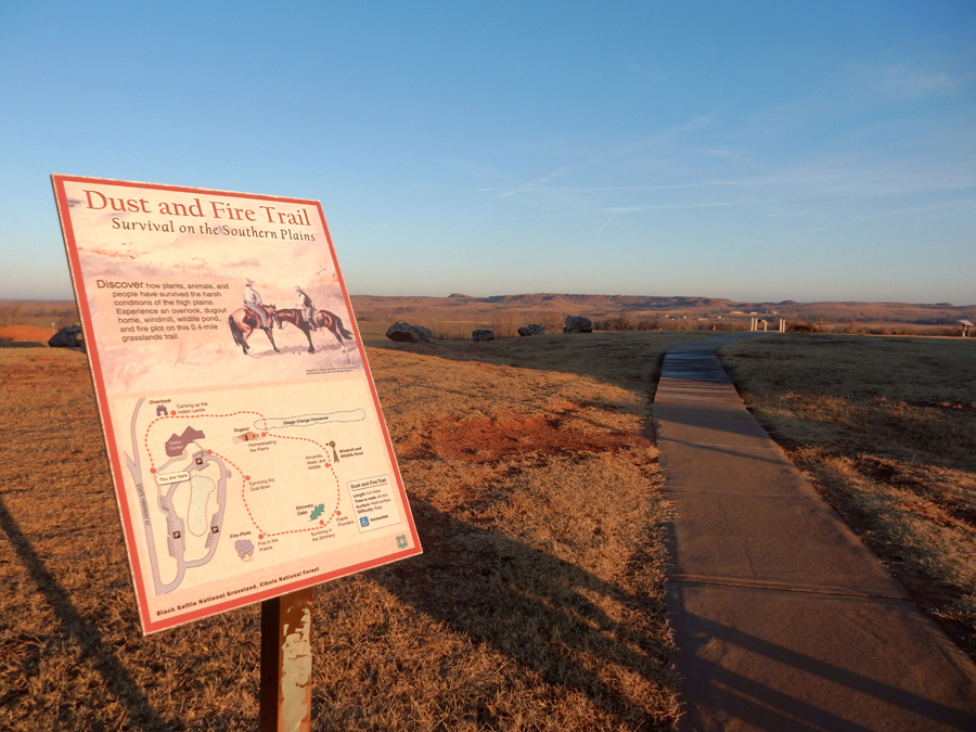
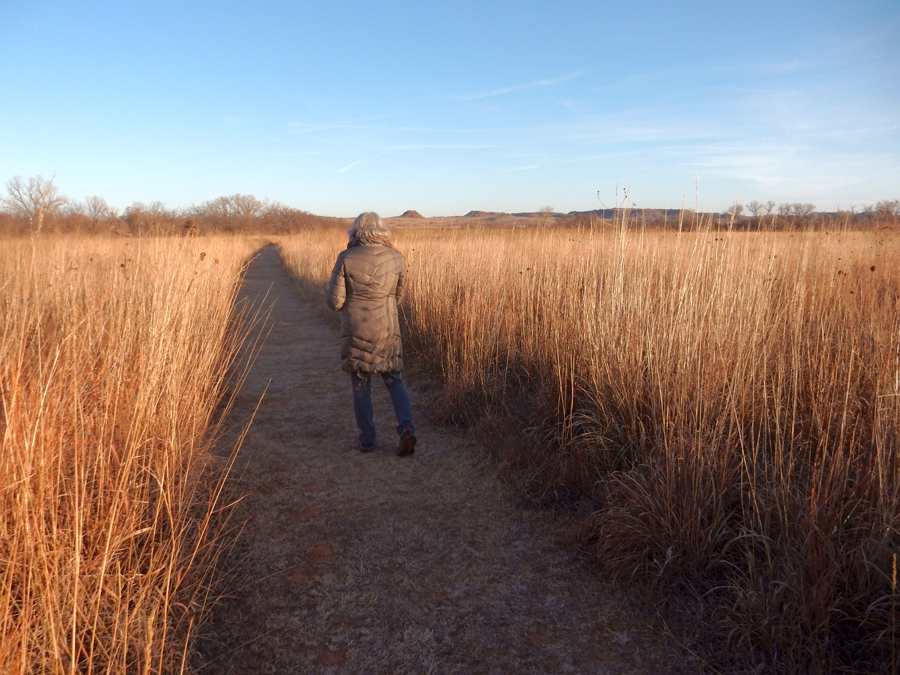
We started by doing the Fire and Dust trail near the Visitor Center. The early morning sun produced some wonderful colors.


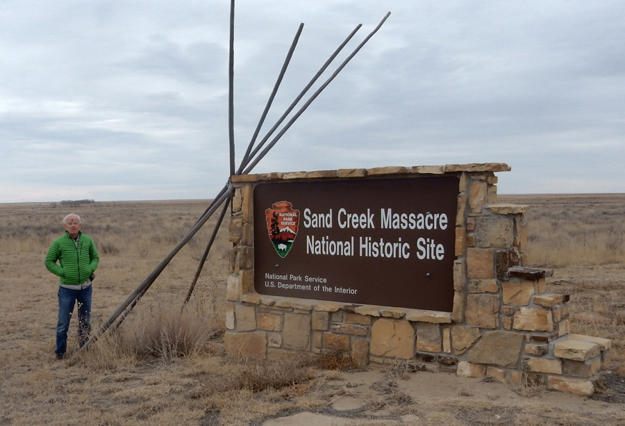
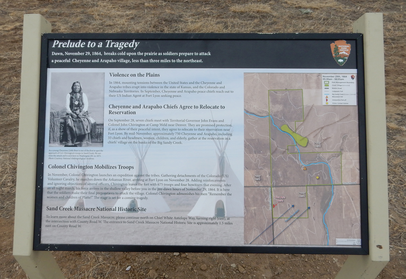
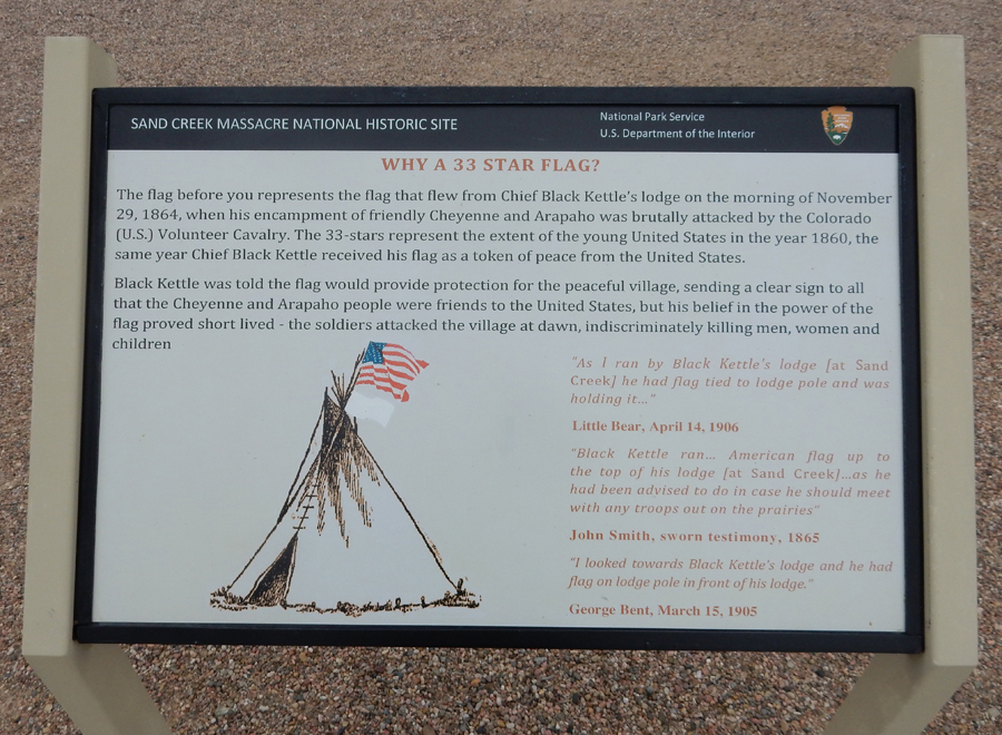
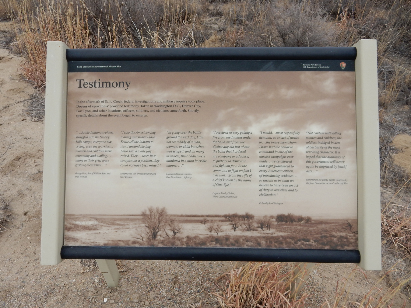
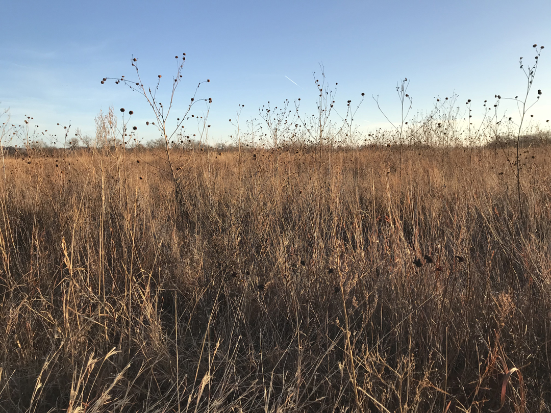
We then did the 1.5mi self-guided Overlook Trail to Chief Black Kettle’s Camp. Black Kettle was a Cheyenne Peace Chief. In 1864, his village in Colorado was attacked while he was flying a white flag of surrender – the Sand Creek Massacre (we will visit that site later in this trip). Black Kettle escaped the massacre. While Black Kettle was still willing to make peace, other groups of Cheyenne, Arapaho, and Sioux raided ranches, settlements, stage stations and transportation routes. As winter approached in 1868, some 6,000 Cheyenne, Arapaho, and Kiowa laid out their winter camps along 15 miles of the Washita River valley. Unfortunately for Black Kettle, he chose to make his camp some distance upstream from the other tribes. On the morning of November 27, 1868, Lt. Col George A. Custer attacked the sleeping encampment. It is estimated that between 40-60 men, women, and children were killed, including Black Kettle and his wife Medicine Woman. Custer had their lodges burned and their winter supply of food and clothing destroyed. In addition, he ordered the killing of their pony and mule herds, about 800 animals. He also took 53 women and children as hostages as he retreated when the other tribes started to approach the scene. Custer’s “success” is thought to have contributed to his poor judgement at “Custer’s Last Stand,” the Battle of the Little Big Horn on June 25-26, 1876.


It is recommended that you not take photos at the battle site, as it is considered Sacred Ground


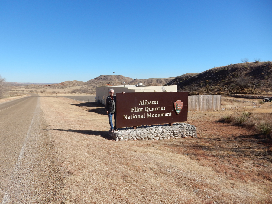
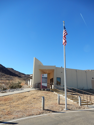
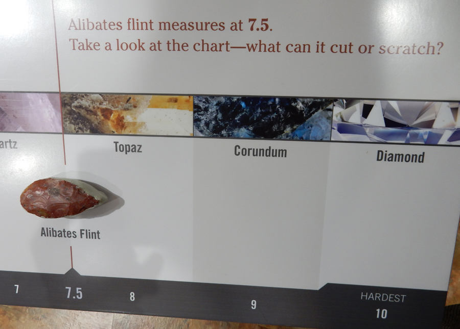
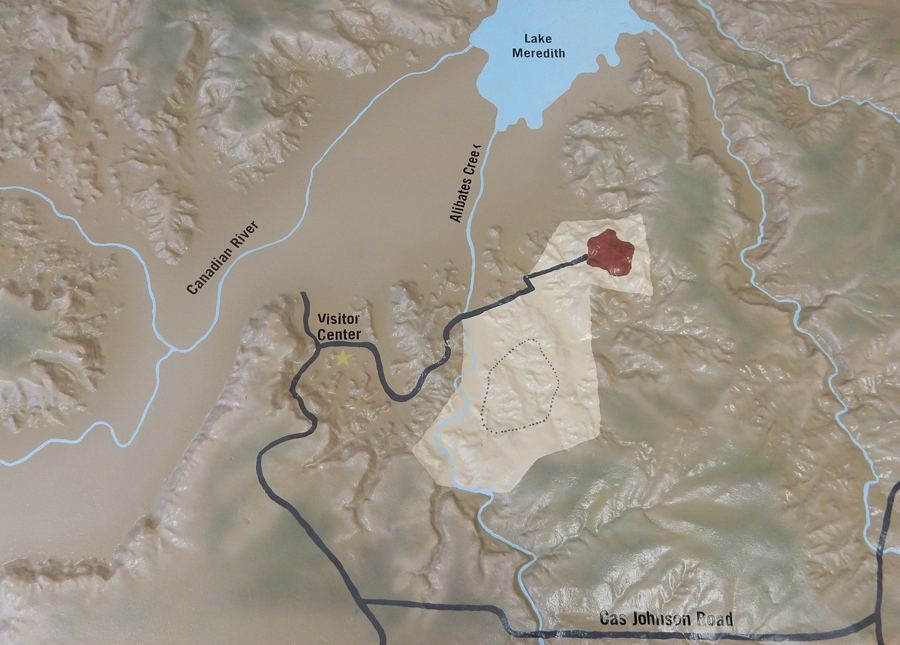
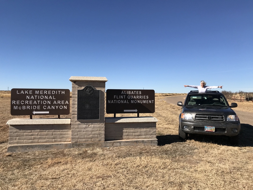
It was a 2.5hr drive to Alibates Flint Quarries National Monument in the Texas Panhandle. We started at the small Vis Ctr where a volunteer was on duty.


A Quarry Pit

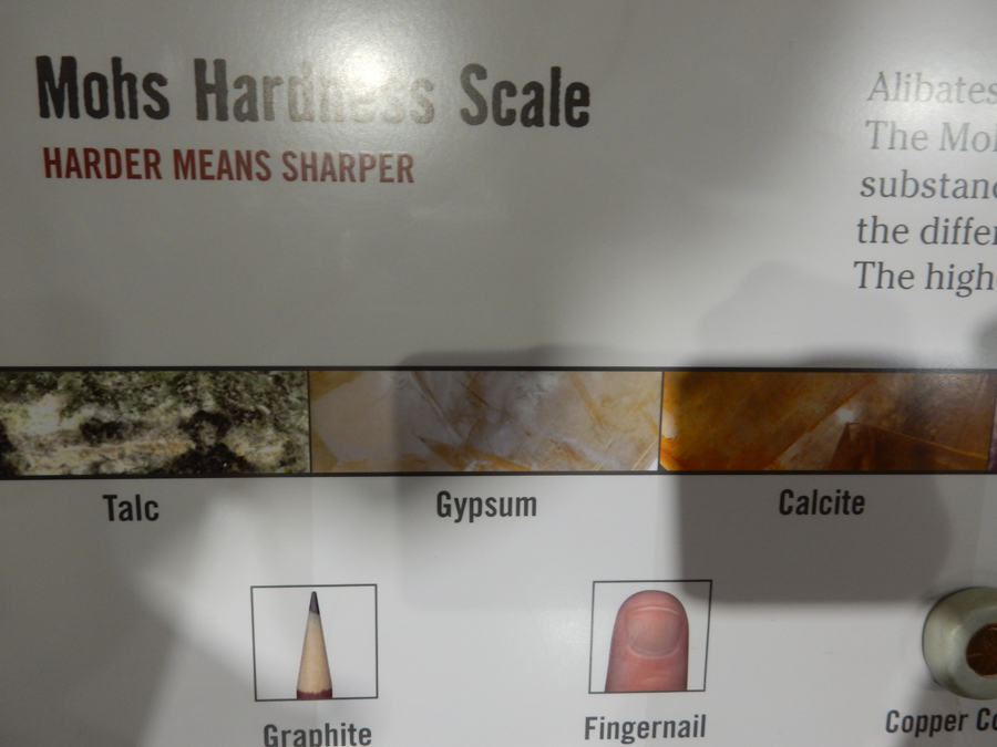
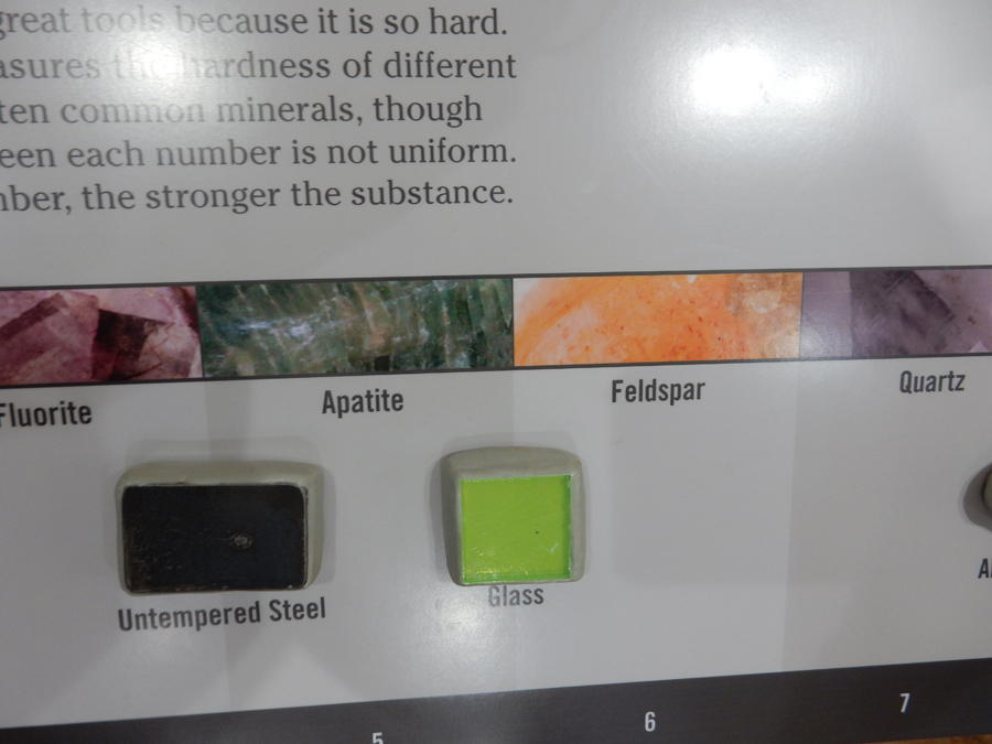
Mohs Hardness Scale (0-10) – harder means sharper. Alibates Flint is 7.5


Uh-O!

While we were watching the 11min park movie, the ranger arrived and stated that the Vis Ctr had to be closed due to the Government Shutdown. Lucky for us the volunteer had not got those instructions! We were allowed to finish the movie and then had to leave. We then did the mile loop trail from the parking lot.


Alibates Flint Quarries NM is within the Lake Meredith National Recreation Area.

Lake Meredith was created by placing the Sanford Dam on the Canadian River. This area was previously called the Sanford Recreation Area.


We then drove a gravel road to the Mullinaw Trail where we hiked to the Canadian River and back


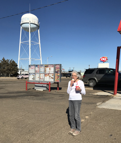
We then went to Harbor Bay to view the Lake. This was the first warm day of our Winter Trip! We celebrated with an ice cream cone at the DQ in Fritch TX.


There have been drought conditions here in the TX Panhandle. Not good to have a grass fire near the Plantex Nuclear Weapons Plant of the Department of Energy (East of Amarillo TX)!

It was a 4hr drive to Lawton OK and the Fairfield Inn & Suites.
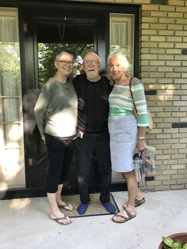
1/21 Sun – Went to church and then drove to Dallas TX where we met Phil for lunch. We also went to an Apple Store nearby to get my iPad fixed. I had been keeping my diary on the iPad and then placing it in my suitcase for travel. A day ago, I found it had been shutdown. I was told that they think the iPad was trying to connect while it bounced around inside my suitcase (I had driven on some rough roads). After ten attempts, the device shuts down for security reasons. So, they reactivated it, but I lost my diary entries. I was so discouraged I stopped writing my diary on the iPad. Afterward, we went to Phil’s home for a drink and met Hayden. After a nice visit we proceeded to Plano TX to see Ed & Tricia. Ed and I watched the Eagles beat the Vikings in an NFL Playoff game.
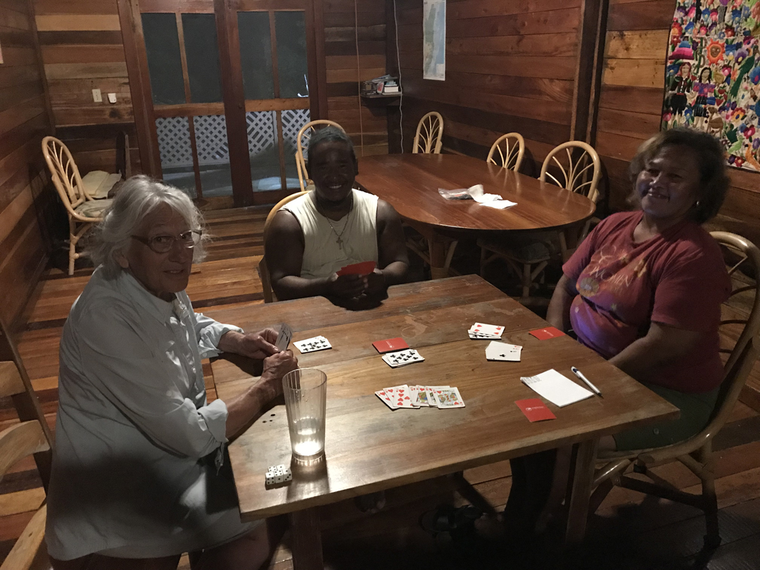
1/22 M – Ed and I went to a shooting range while the ladies went shopping. I also had the Sequoia serviced, washed, and gassed, so we were ready to leave the next day. We had a fun game of Aces to Kings after dinner.
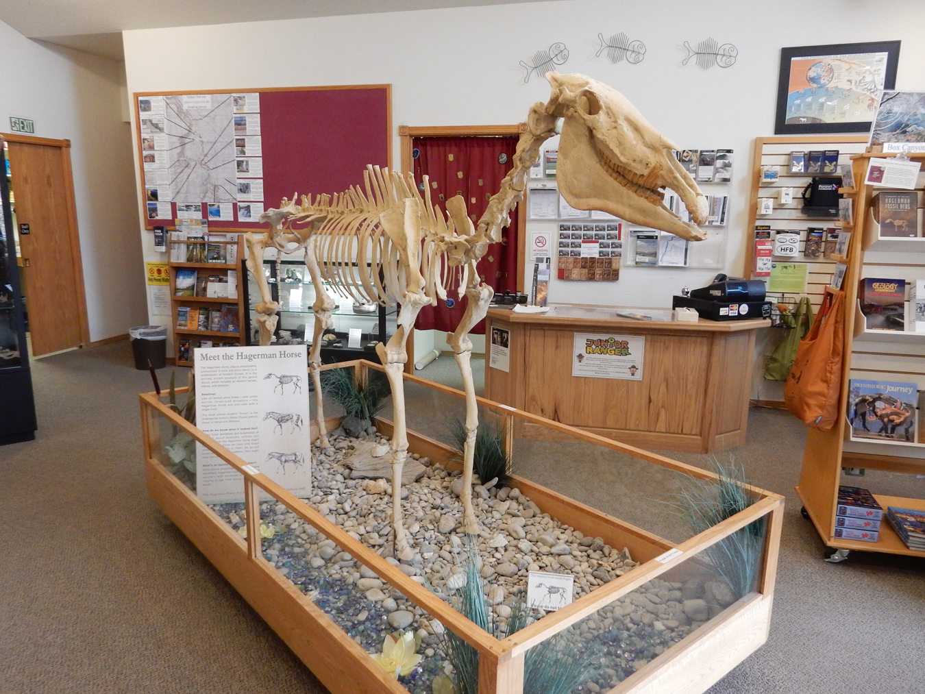
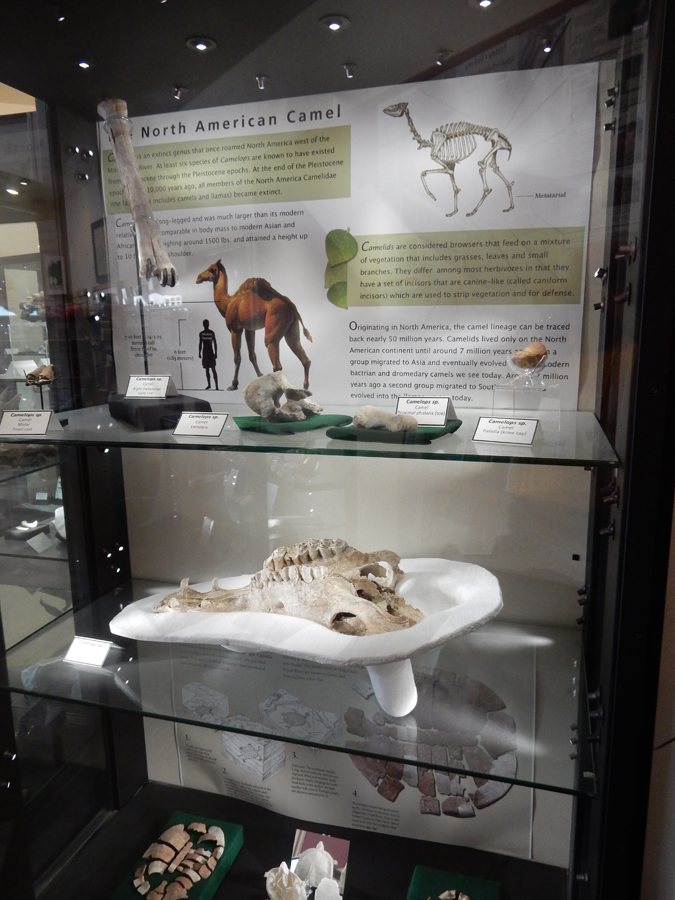
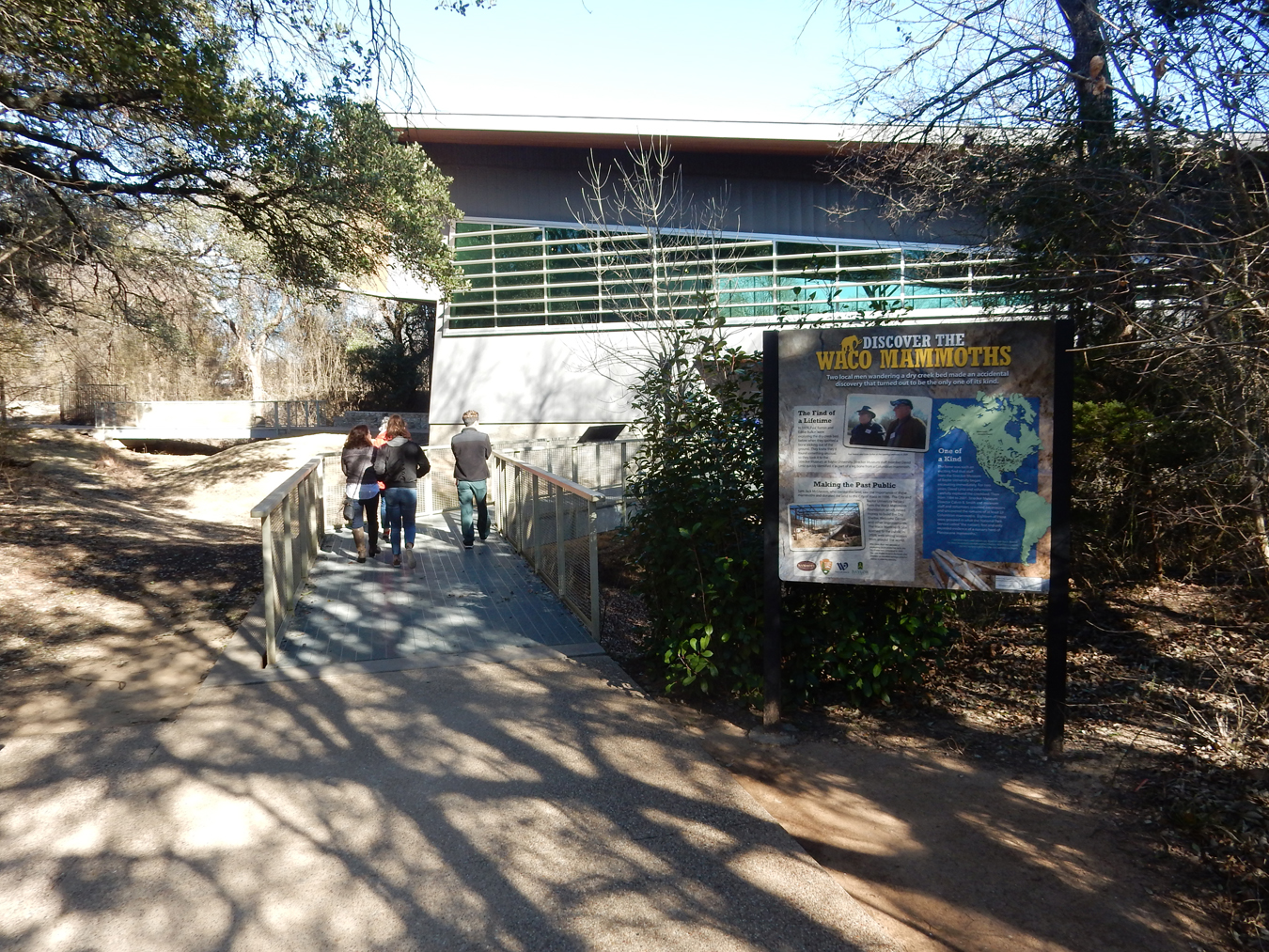
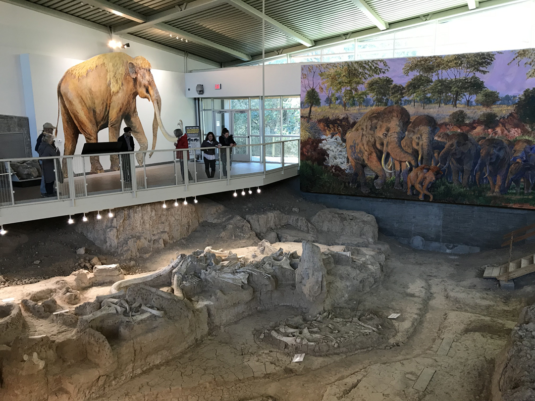
1/23 Tu – It was a 2hr drive to Waco TX. Our first stop was the Waco Mammoth National Monument, which is administered by the NPS, Baylor University, and the City of Waco. It was designated a NM by President Obama in 2015. We checked in at the Visitor Center and then paid $4 each (seniors) to have a Baylor University student give us a tour of the Dig Shelter.

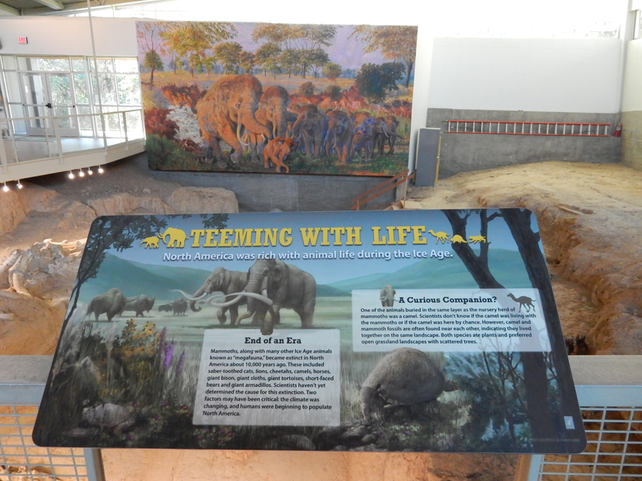
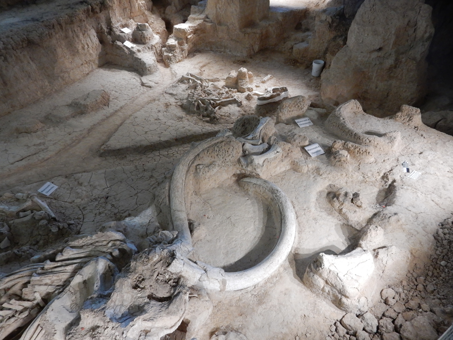
Many Ice Age animals have been found here


In these pics we can see Mammoth and Camel skeletons


This sign explains the differences between Mammoths and Elephants

Humerus, or upper arm bone, of human vs mammoth

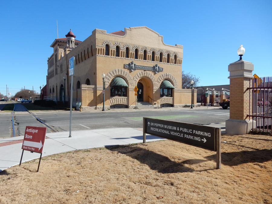
Our next stop was the Dr. Pepper Museum in downtown Waco

“Nations Oldest Major Soft Drink”

Across the railroad tracks was Magnolia and the Silos.

Time for Take-Out!

Ate our cupcakes as we drove 3 hrs to Lackland AFB San Antonio TX. We stopped at the Valley High Gate to get our permit to go on base to see the Military Working Dog Teams National Monument. This NM was signed into public law by President George W. Bush in 2008.

The Monument represents all wars since World War II and all five U.S. Armed Services (Army, Marines, Navy, Air Force, and Coast Guard).


There is a 9-foot bronze sculpture of a Military Working Dog Handler wearing combat gear and holding a dog leash in his left hand and a M4 rifle in his right hand. There are also four sculptures of the more common breeds of military working dogs. In this pic we see the German Shepherd and Labrador Retriever.

Doberman Pinscher

Belgian Malinois

This is called the “Not Forgotten Fountain” depicting a Vietnam War dog handler pouring water from his canteen into a helmet for his dog. Visiting dogs can drink out of the fountain.

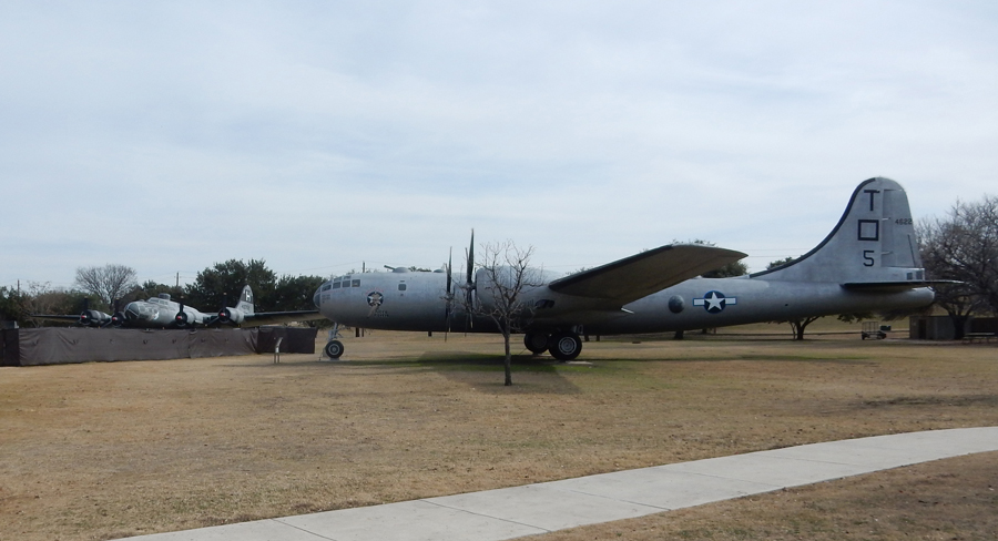
I enjoyed seeing the vintage World War II aircraft surrounding the parade ground


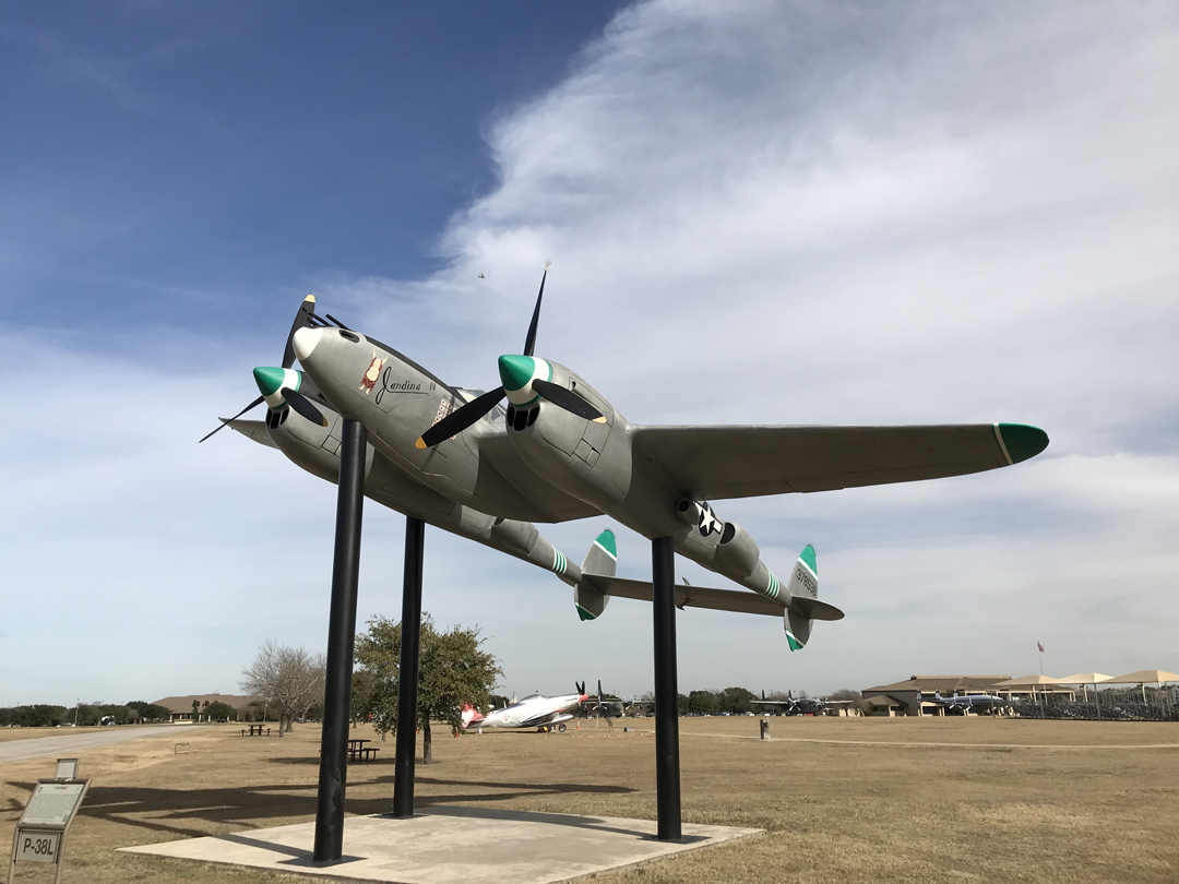
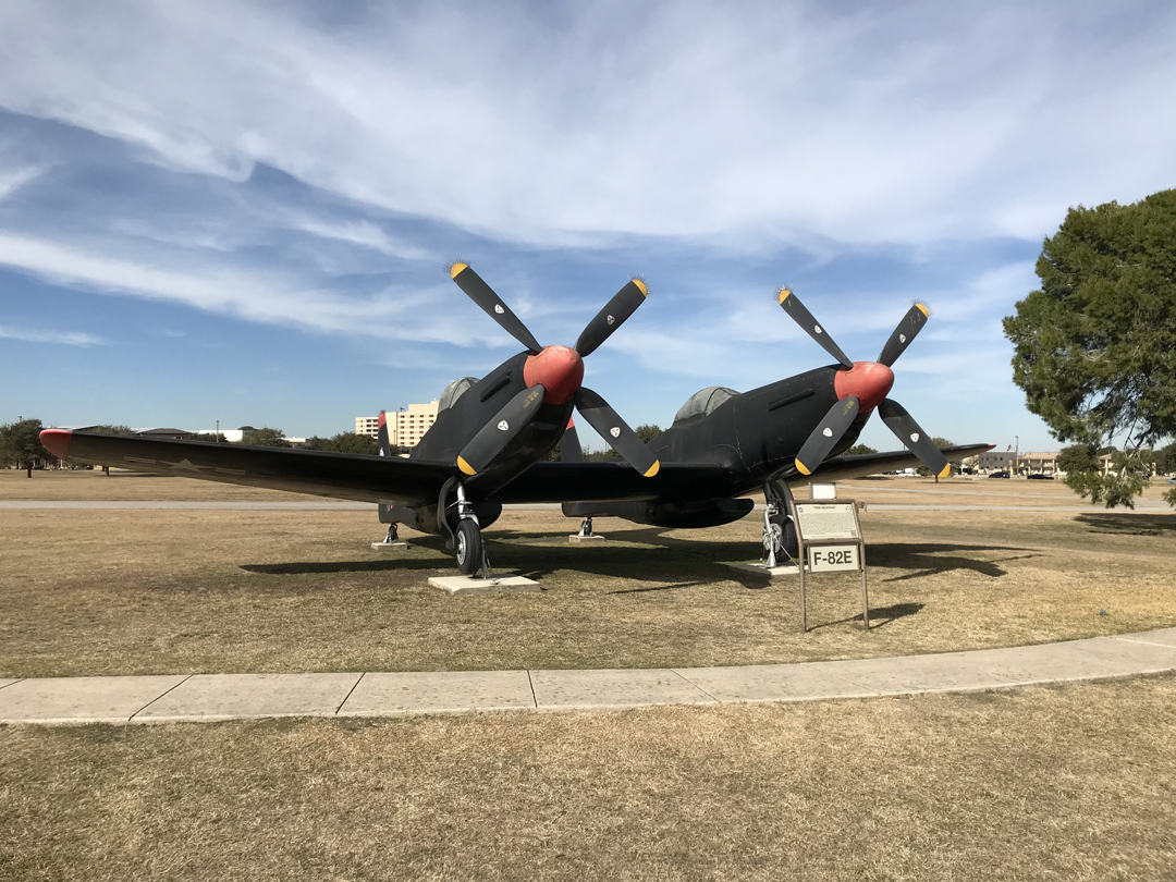
As well as the planes near the entrance gate


It took 2hrs to get to the Americas Best Value Inn in Junction TX
1/24 W – during our 6.5hr drive to El Paso TX on I10, we saw a semi-trailer pulled over by border patrol and police with many illegals out and lying face down on the ground. When we arrived in El Paso, I parked our car at the Speaking Rock Casino.

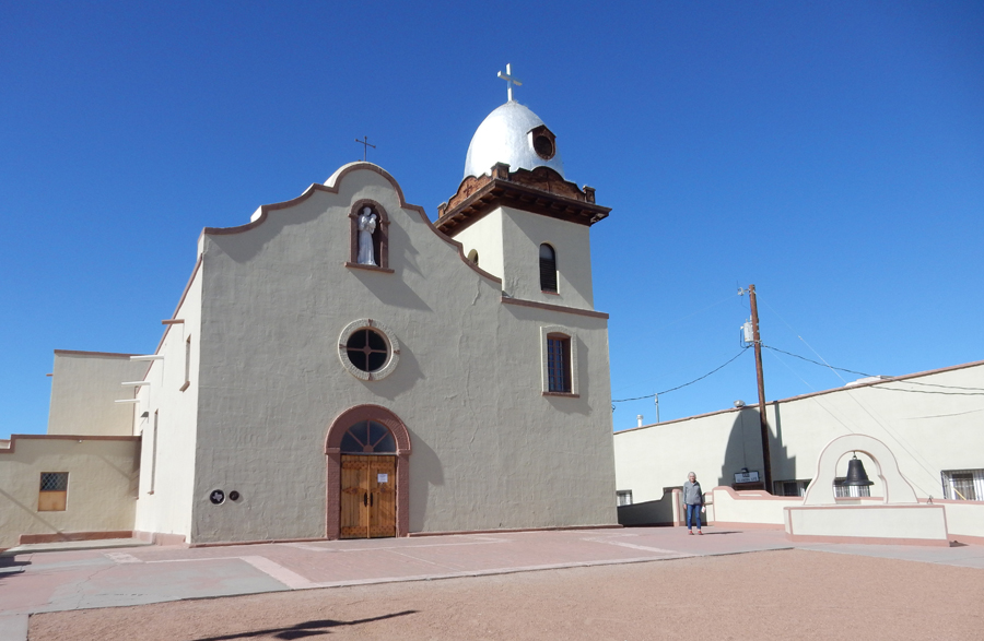
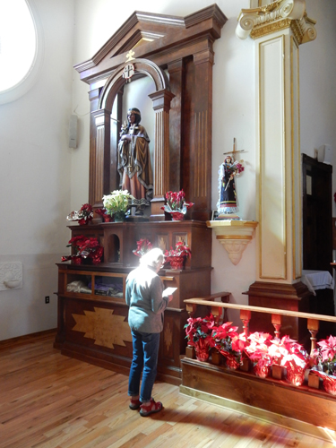
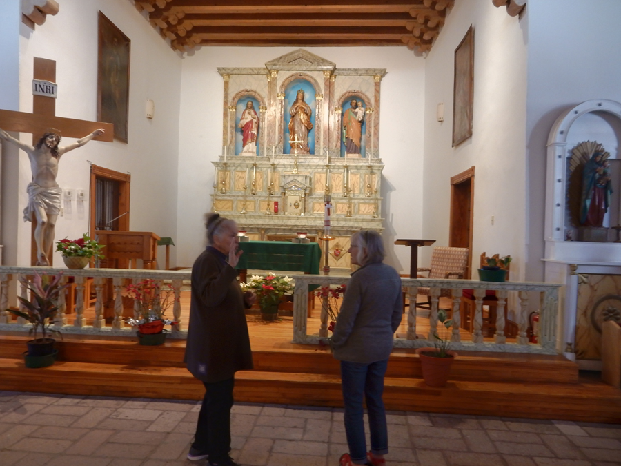
We then walked to La Mision de San Antonio de la Ysleta de Sur established in 1680, the first mission in TX. It was on the El Camino Real, the trading route between the U.S. and Mexico. The current church was built in 1908. The Tiguas Indians continue to worship at the church. Helen is standing by the altar to Our Lady of Mount Carmel, note the Indian representation.


Mission Socorro (help) is only a few miles away. It was founded when the Piro Indians fled following the Pueblo Revolt of 1680. The current church was built in 1843.


Next stop, Chamizal National Memorial, and Cultural Ctr. In El Paso.

In 1848 the Rio Grande was named the boundary between the U.S. and Mexico. However, seasonal floods would change the course of the river. Sometimes people on what was called Cordova Island would live in the U.S. and sometimes in Mexico! In 1963, after a “permanent” concrete channel was built, President Kennedy and President Mateos signed a treaty that gave the northern half of Cordova Island to the U.S. and land to its west and east to Mexico. The wall mural depicts settling our differences through friendship and understanding.

Old border marker, this side faced Mexico

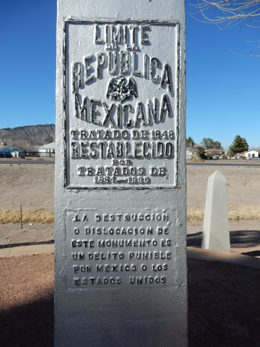
This side face the U.S.

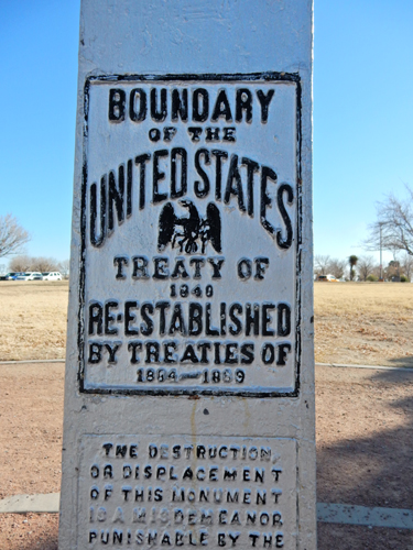
U.S. – Mexican Border

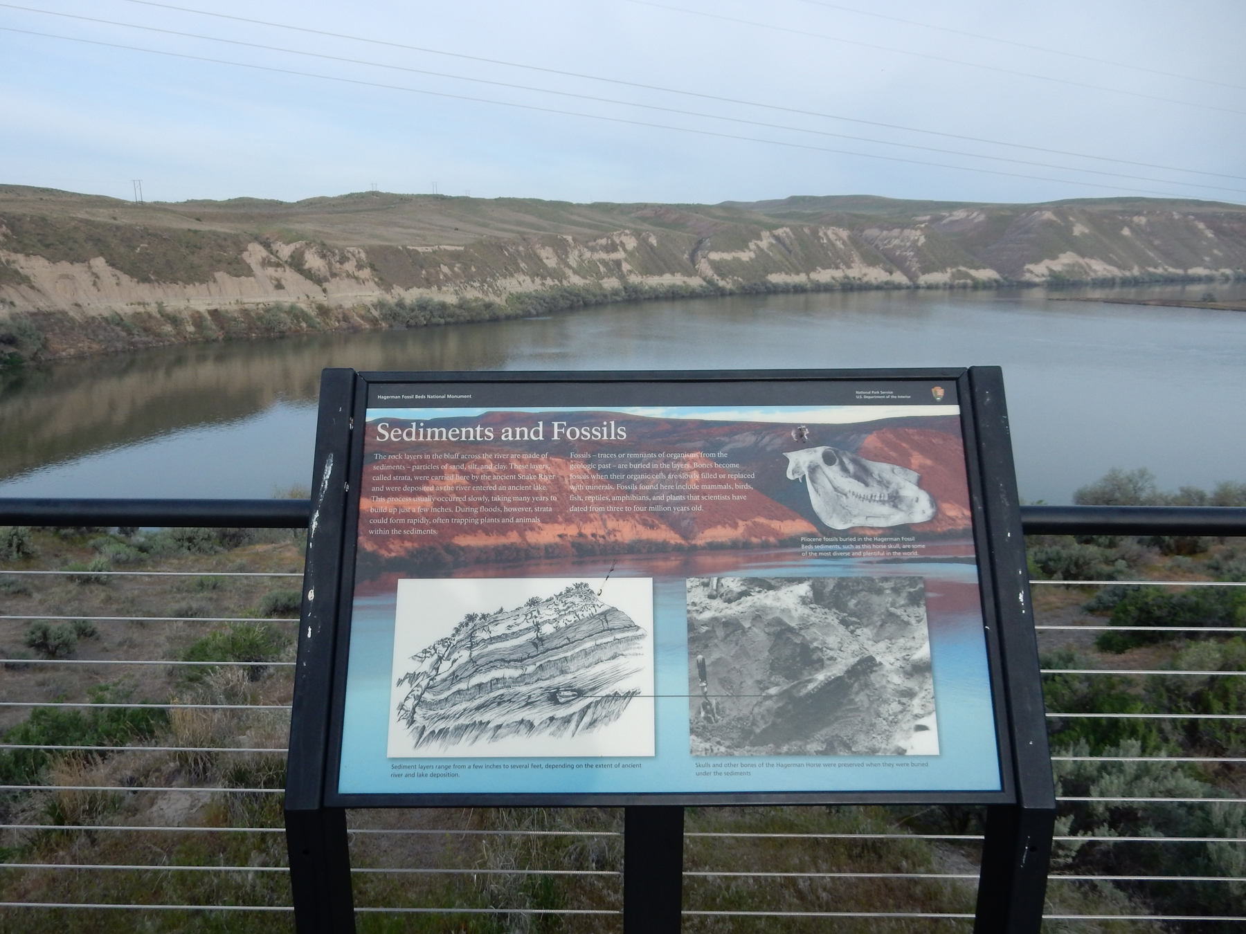
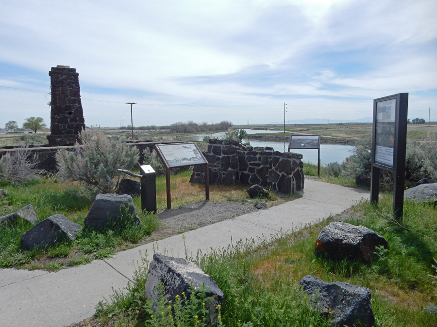
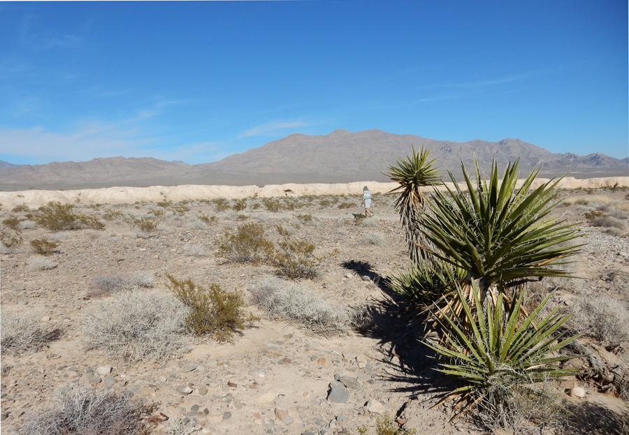
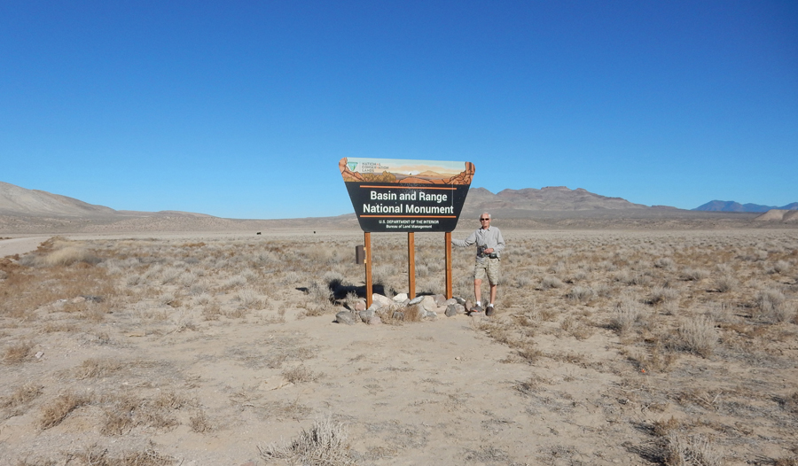
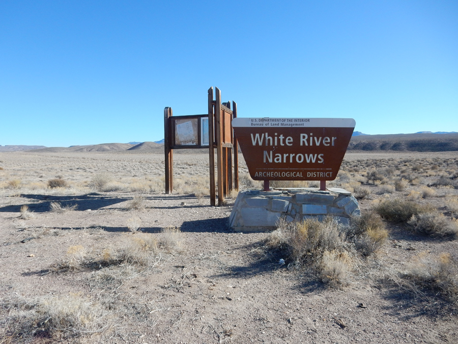
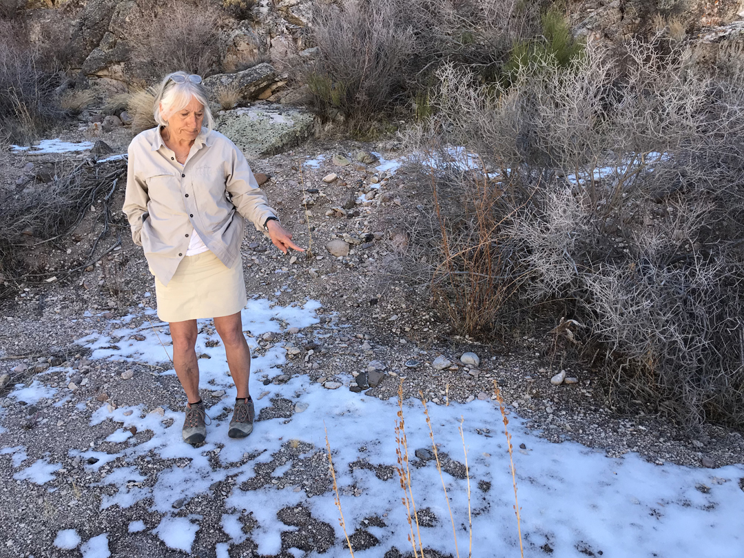
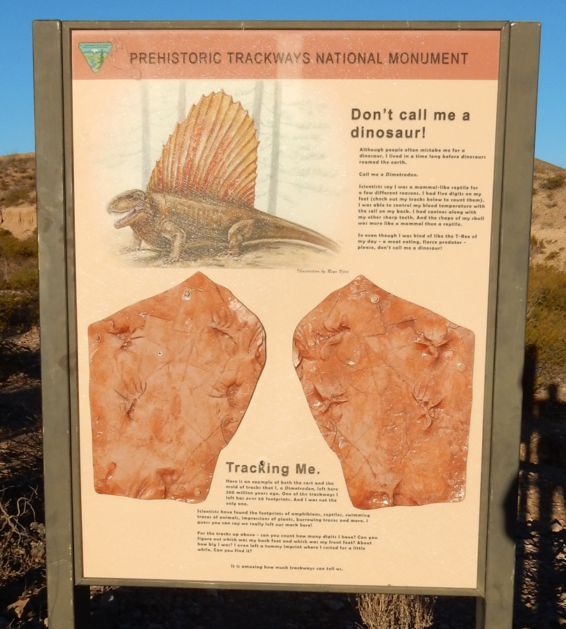
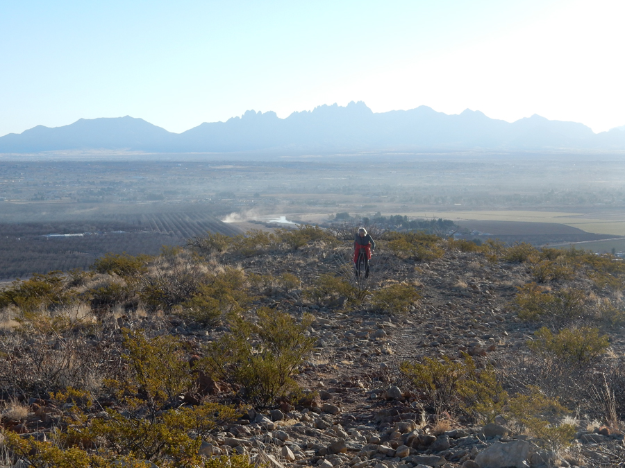
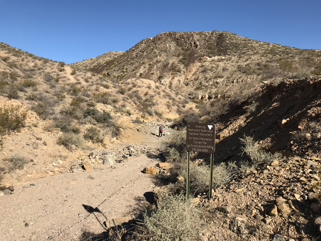
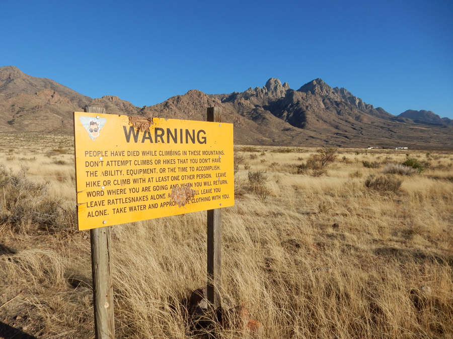
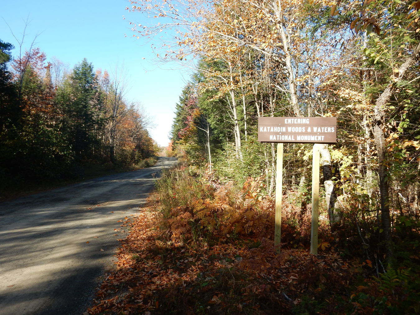
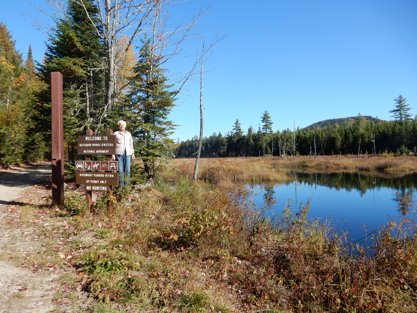
1/25 Th – drove about an hour to the BLM Prehistoric Trackways National Monument NE of Las Cruces NM. It was established in 2009 to protect plant and marine fossils as well as tracks of Permian (280 million years ago) reptiles and amphibians.

Sign at parking area

Starting on Ridgeline Discovery Site Trail

Gained about 500 feet in elevation – Organ Mountains in background

Discovery Site sign – we had great difficulty finding any trackways or fossils. Most of the obvious ones have been removed and placed in museums.

Prehistoric Tracks?

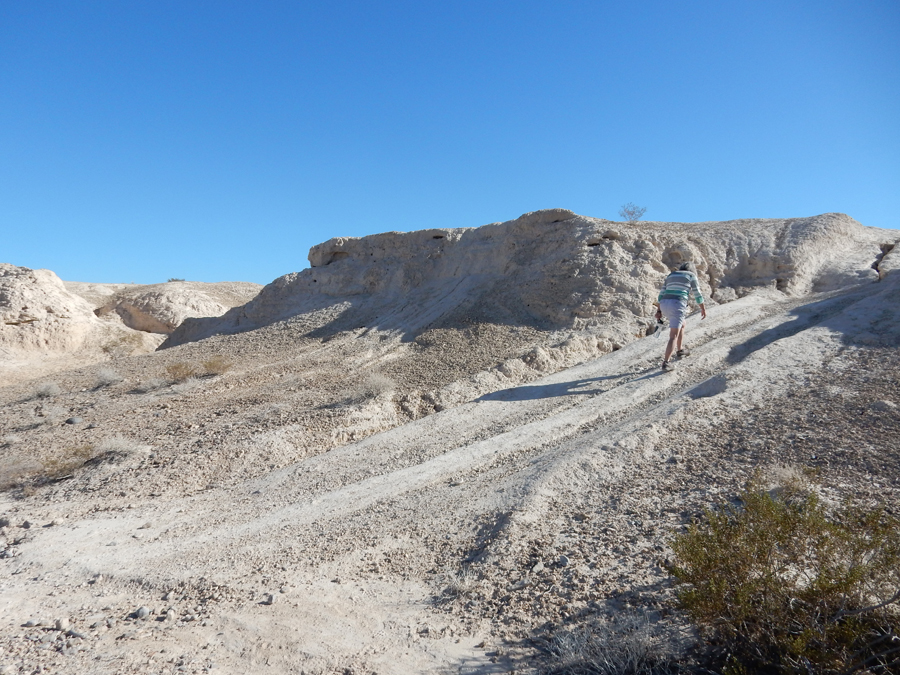
We decided to bushwhack down a wash to get back to the parking area. There was an interesting “mudstone” base at the bottom of this part of the wash

Exiting the wash

Helen – “tired” after hike; we covered about 3.5 miles

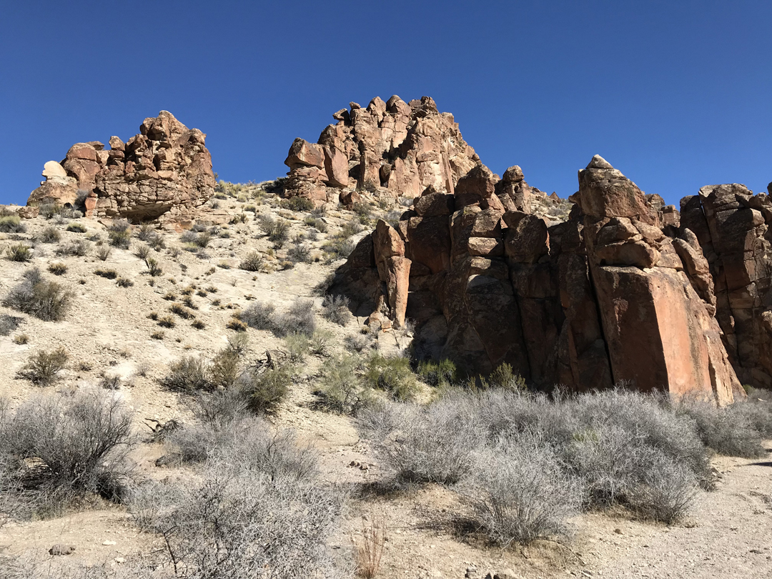
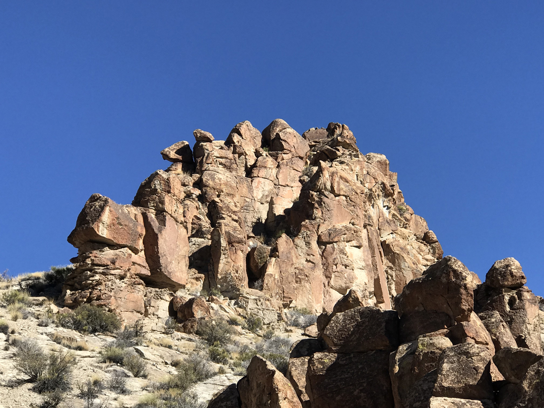
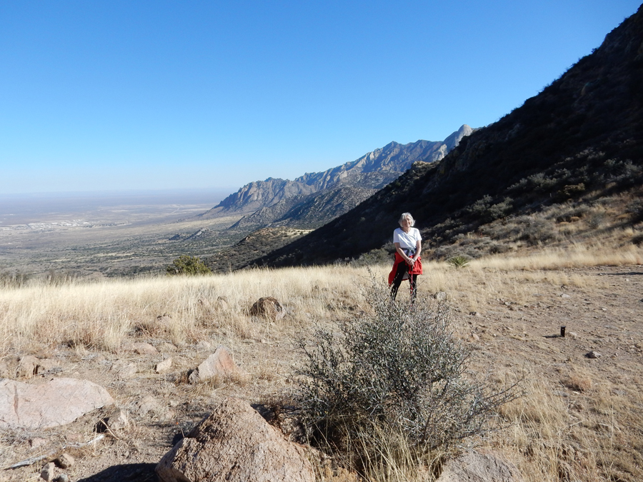
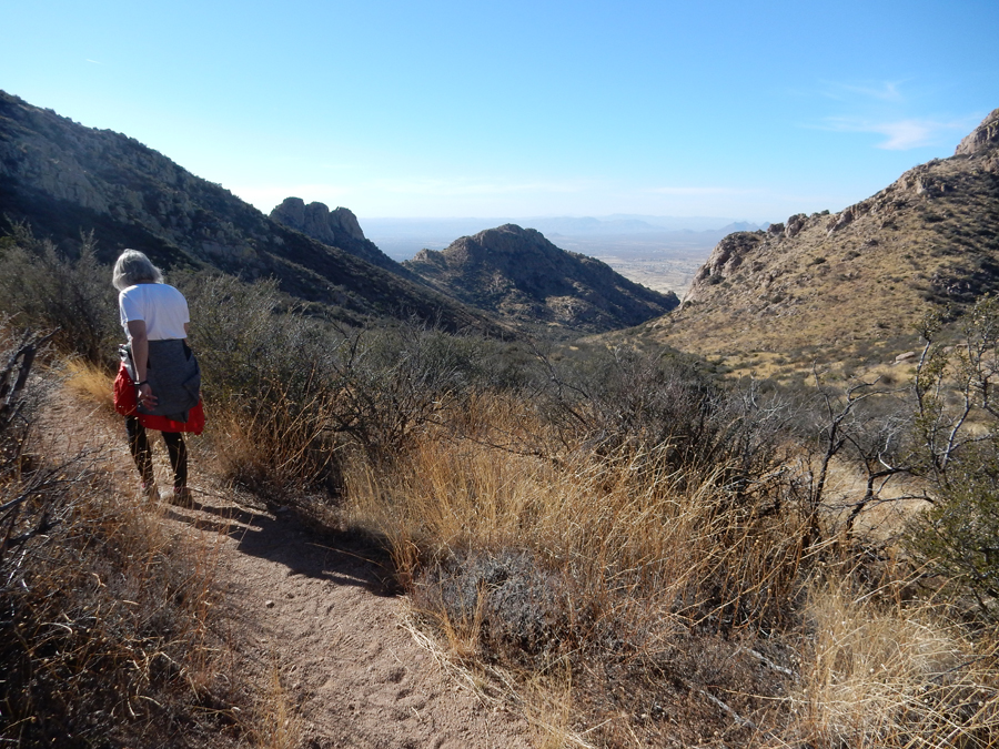
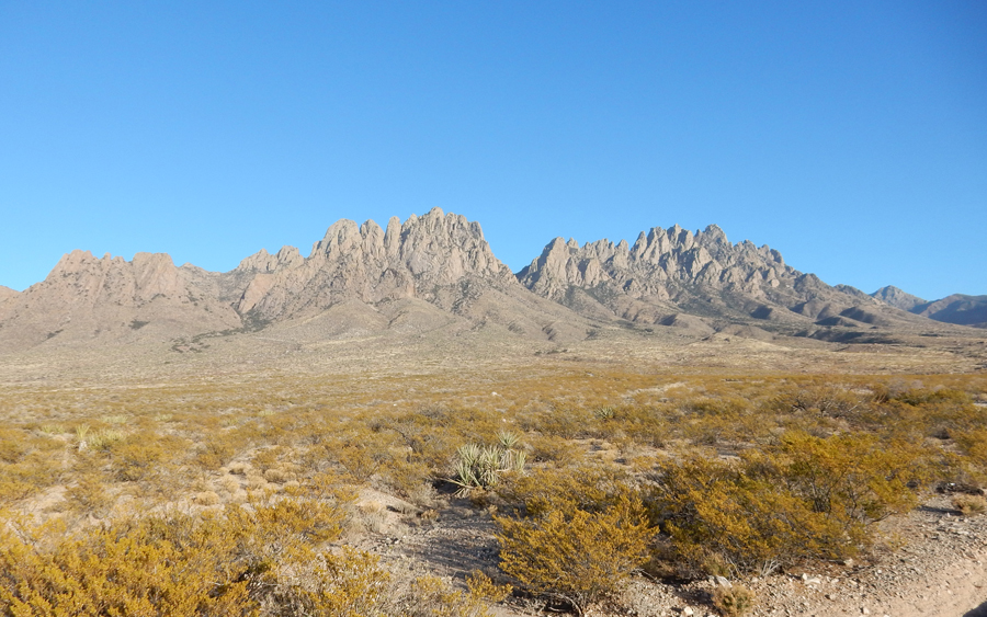
Bought an iron patio set for Kate and an amber necklace for Helen in Las Cruces, had lunch, and drove to the BLM Organ Mountains-Desert Peaks National Monument east of the city.

West Trailhead for Baylor Pass


Top of Baylor Pass, 6,430 feet


Hiking back to the SUV, the trail was 7 miles round-trip with a gain of 1,500 feet


Organ Mountains from the West


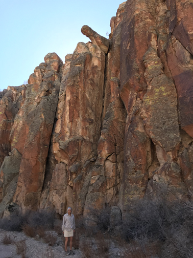
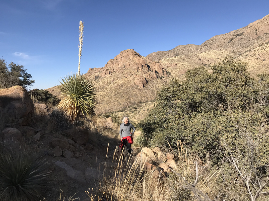
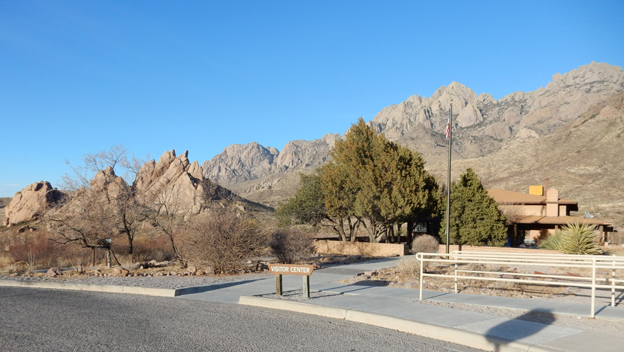
A.B. Cox Visitor Center near Dripping Springs


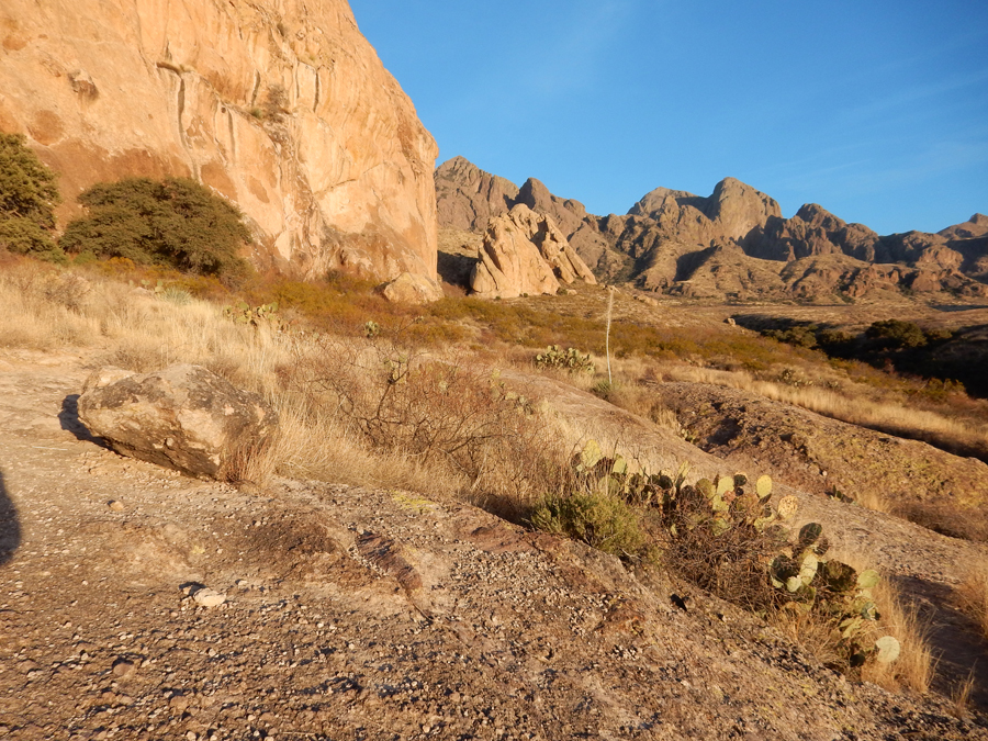
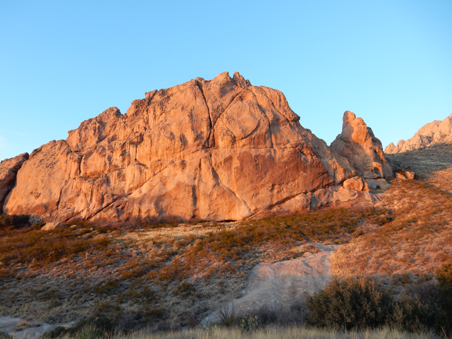
Driving to La Cueva Rocks Trailhead where Helen dropped me off

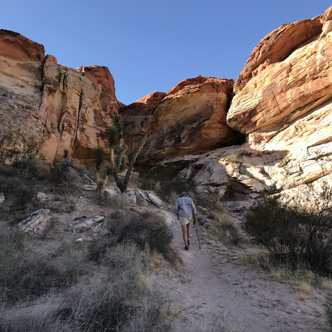
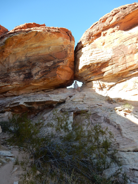
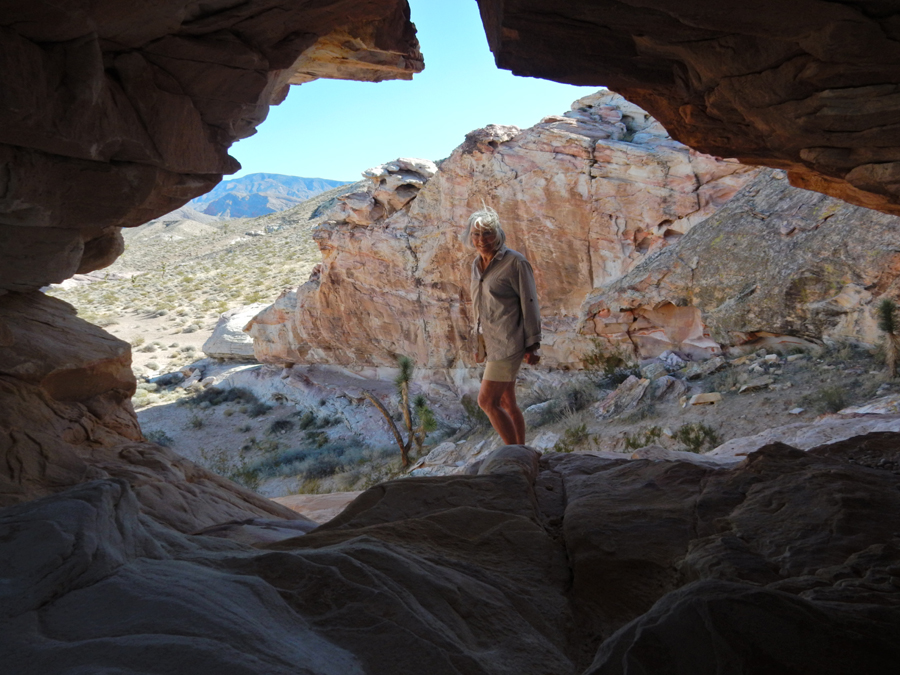
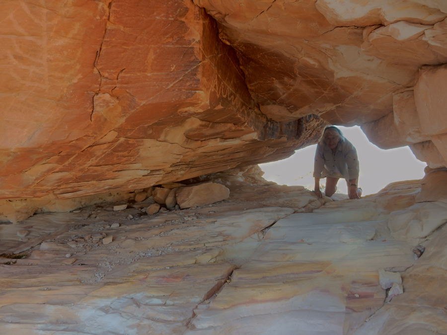
I hiked about 1.5 miles along the Nature Trail past La Cueva Rocks, the Hermit Cave, and Ice Canyon back to the Visitor Center where Helen met me with the truck.


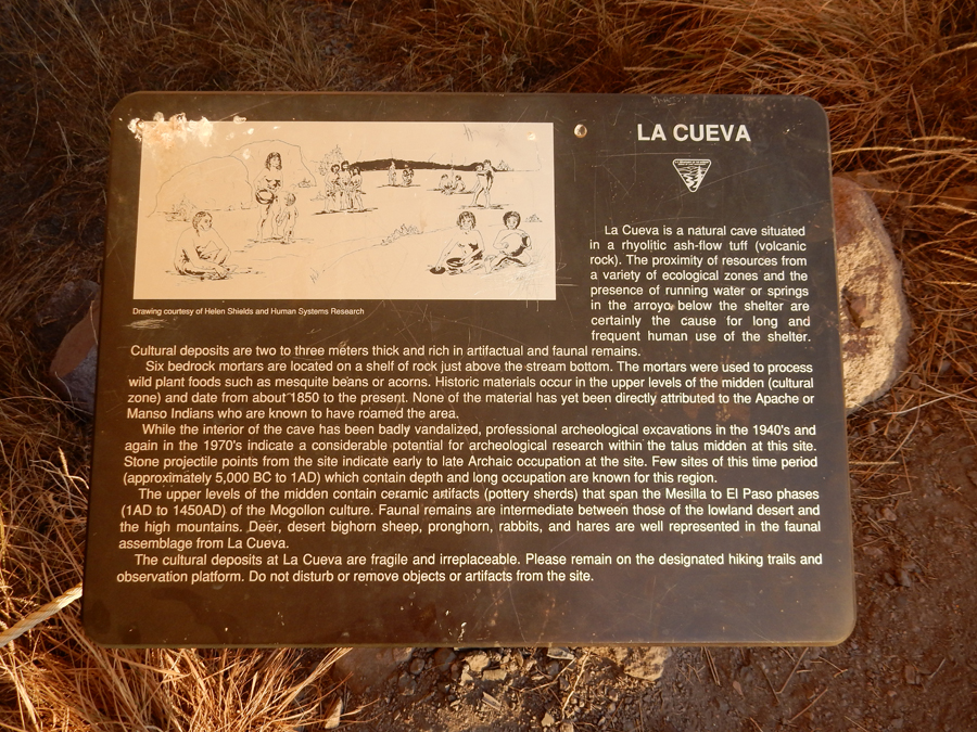
La Cueva is a rock shelter archeological site that has been traced back to 5,000 BC


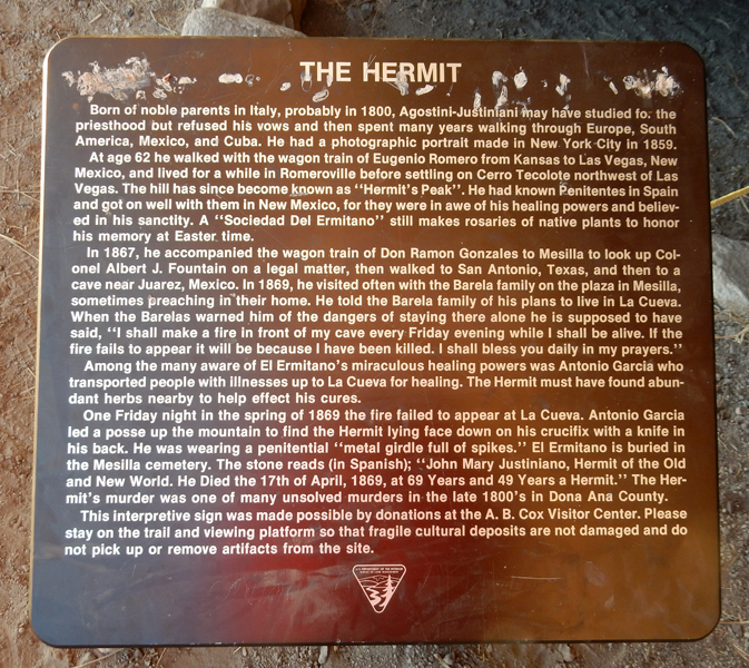
“El Ermitano” – The Hermit


Hiking back to Visitor Center


Returned to the Fairfield Inn in El Paso for the night. Helen said she was too tired to go out for dinner so we did take-out.
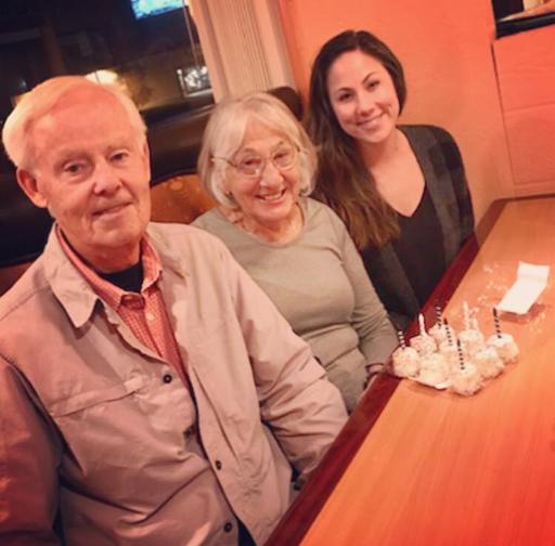
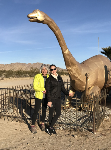
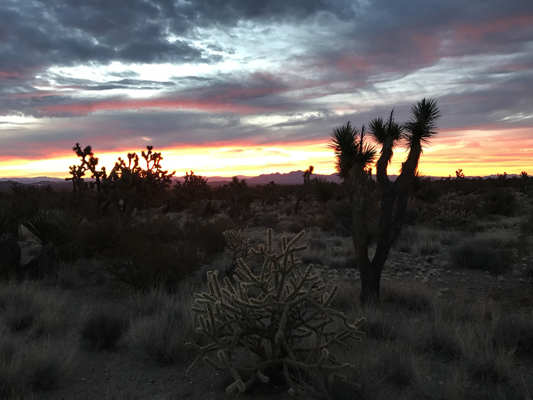
1/26 F – Helen’s Birthday – It took 11hrs to drive from El Paso to Twentynine Palms CA! Helen received many calls and texts from family and friends. Kate met us at the Fairfield Inn and we drove to the Palm Kabob House for a delicious dinner. Kate brought cupcakes, candles, and gifts for our celebration. The following day would be my real birthday surprise!

1/27 Sat – Mama and baby along Rt 62

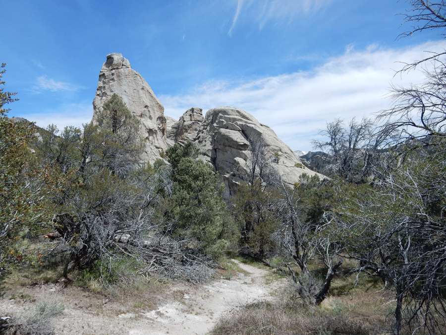
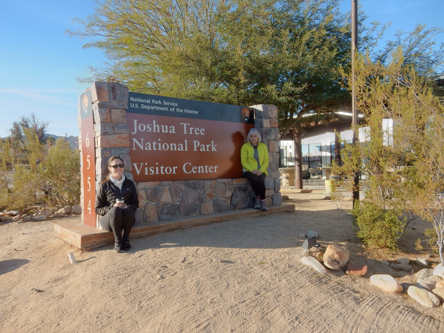
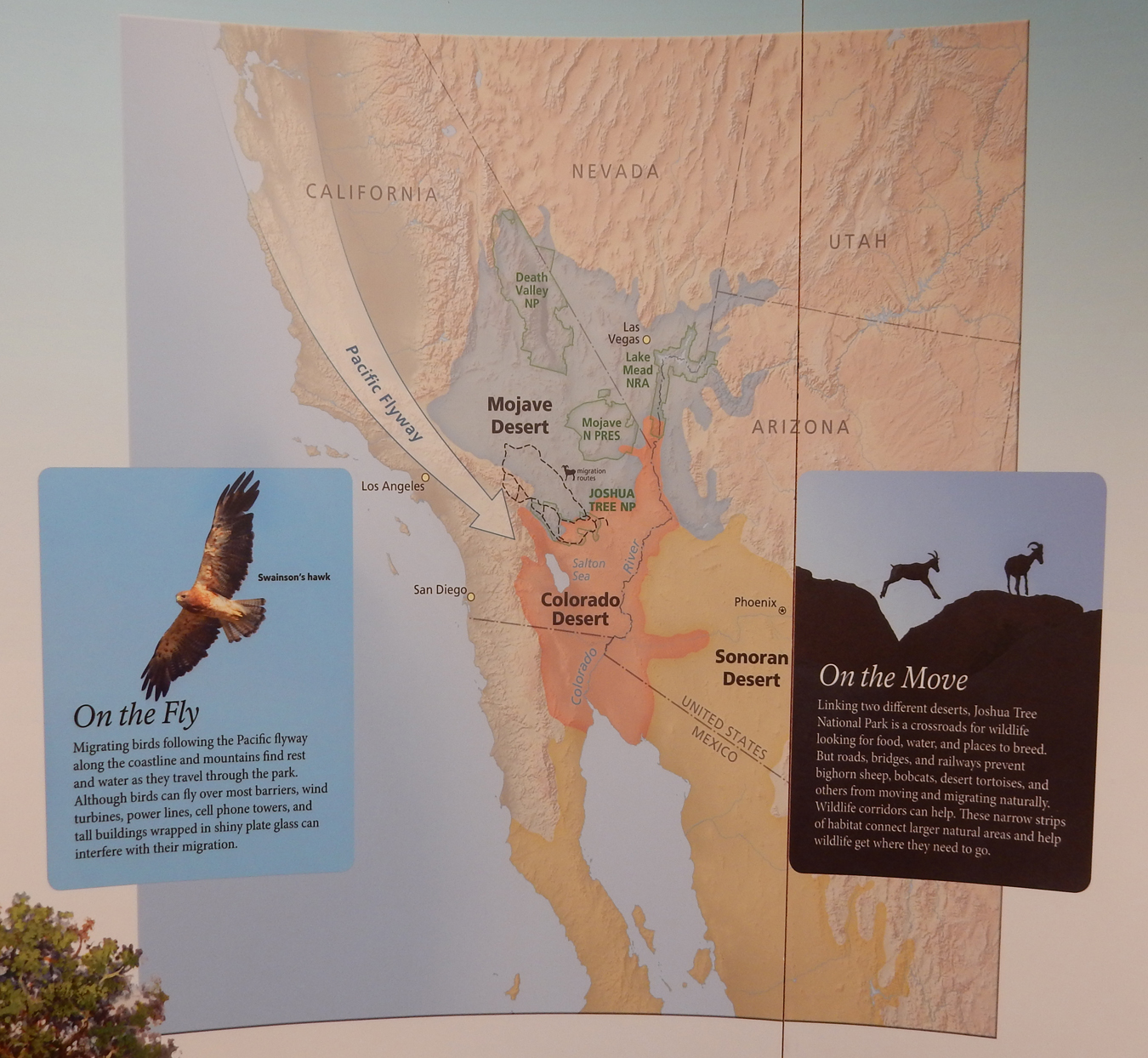
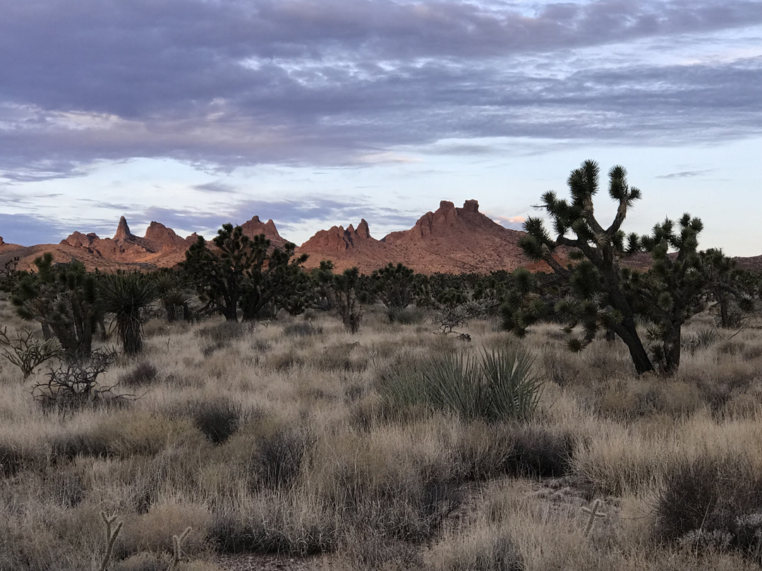
Briefly toured the Joshua Tree National Park Visitor Center and headed into the park.


Joshua tree(s) with Quail Mountains in background


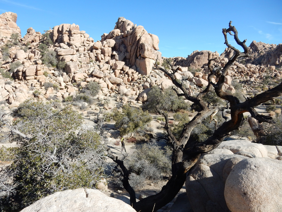
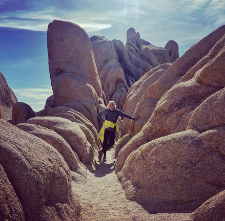
Start of Hidden Valley 1 mile Loop Trail


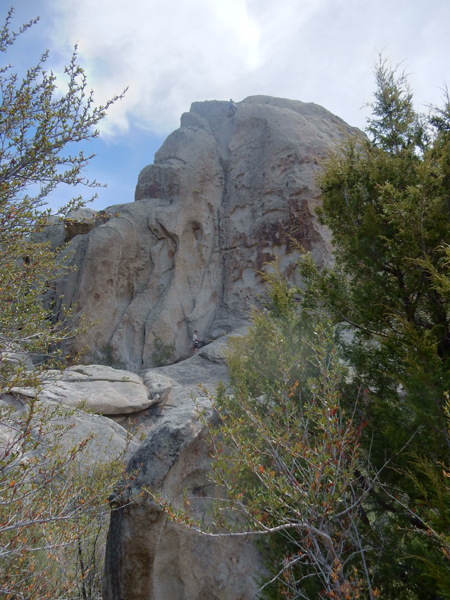
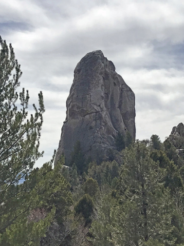
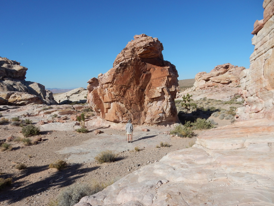
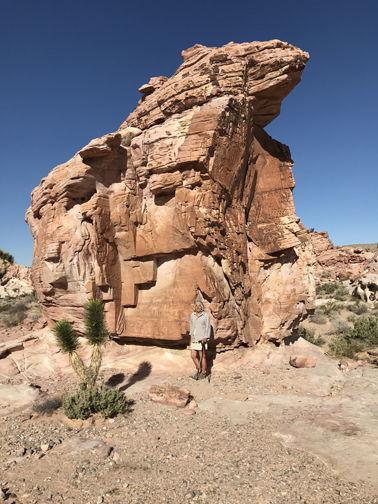
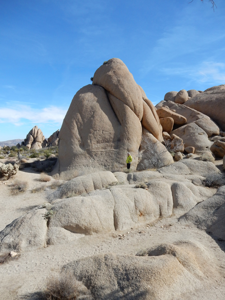
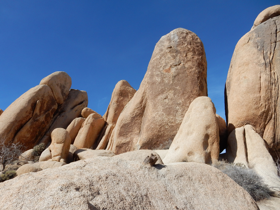
Beautiful rock formations


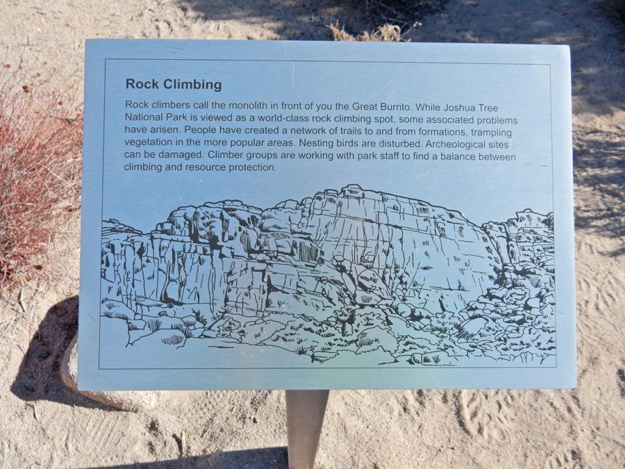
The “Great Burrito” – rock climbing area


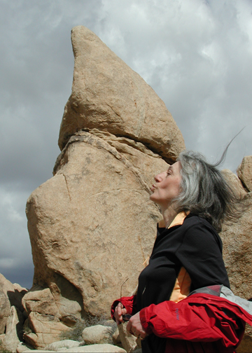
“The Kiss” 2005 and 2018


Keys View, Santa Rosa Mountains, Palm Springs below Mt San Jacinto on right

Cap Rock

Rock formations near Sheep Pass


Skull Rock

Diplodocus Head

I went looking for Arch Rock by White Tank campground and was gone about 45 minutes. I couldn’t find it, though I did climb around some nice rock formations. Kate thought I was lost!

I did find “Heart Rock”

Kate and Helen were exploring as well

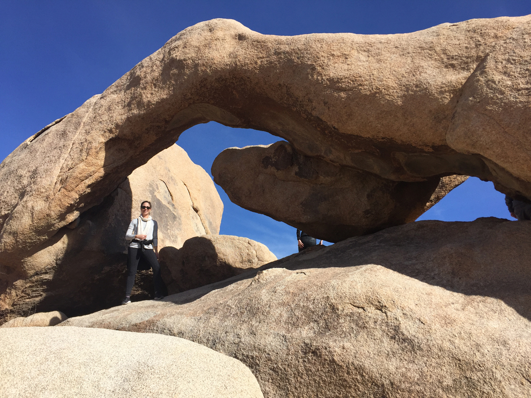
As it turned out, Helen and Kate found Arch Rock right around the corner from our parking spot!


We had snacks and drinks in the car as we drove to the Whitewater Preserve in the new BLM Sand to Snow National Monument. We discovered it was closed because of Wild Dogs – we were told they had killed a cow the day before!

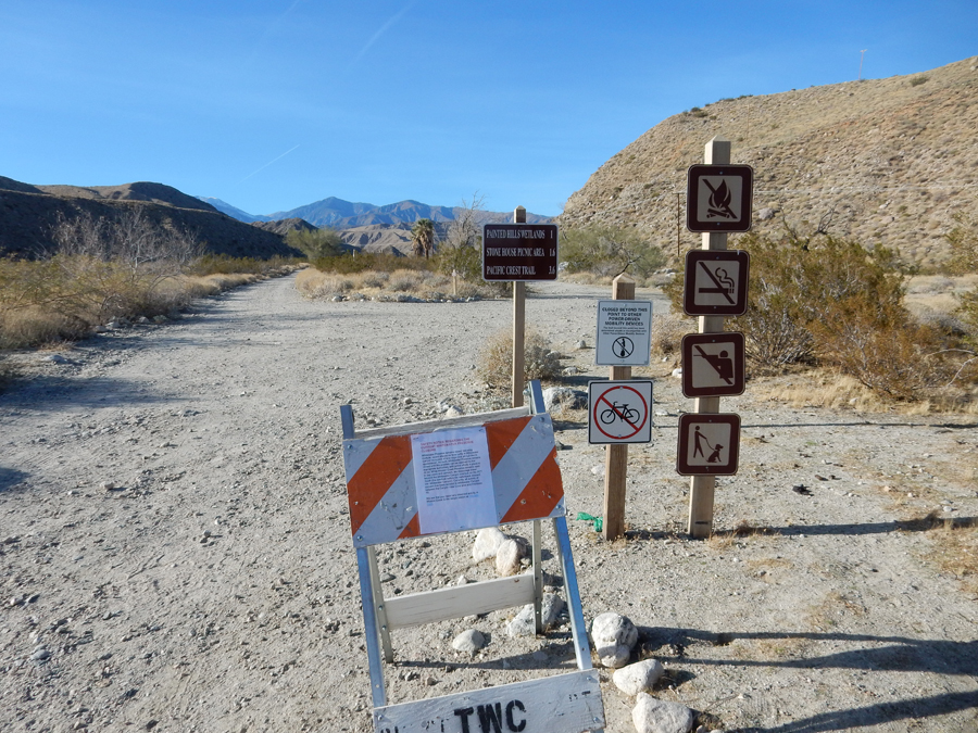
Not to be deterred, we drove to the Cottonwood access road off I10. Not much to see there, but I did check-out a section of the Pacific Coast Trail.

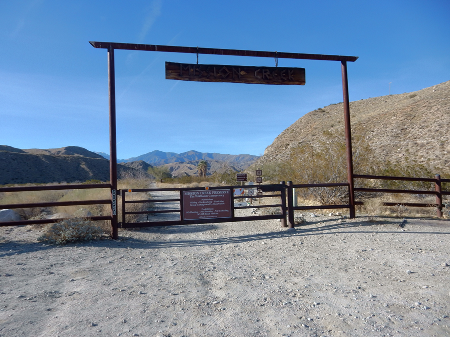
We then drove to the Mission Creek Preserve, which is also included in the new Sand to Snow NM. Stymied again! Also closed because of the wild dogs.


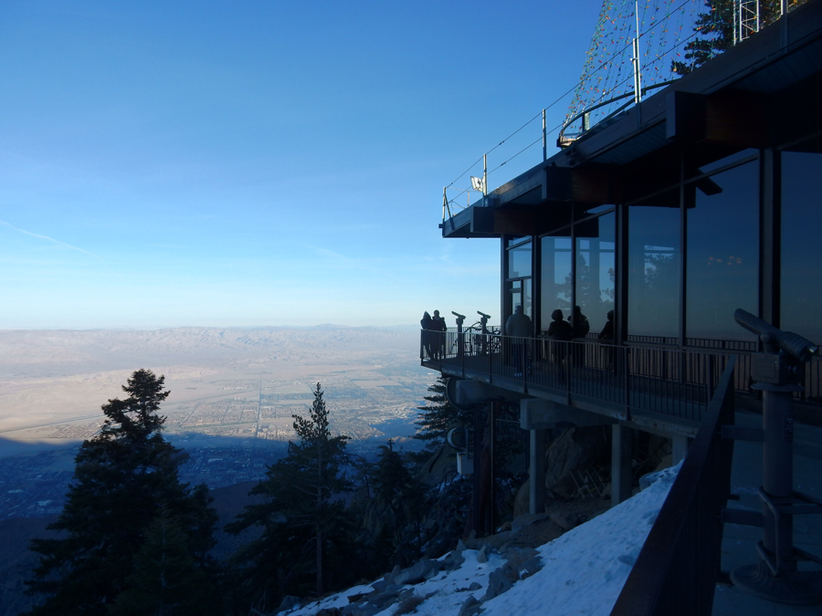
Now the “real” birthday surprise – arrived at the Palm Springs Aerial Tramway at about 5pm and took the world’s largest rotating tram car —travels 2.5 miles (takes 10-min) along the cliffs of Chino Canyon, to the pristine wilderness of Mt. San Jacinto State Park.


We first checked-out the observation deck, the nearby viewpoints and the natural history museum.

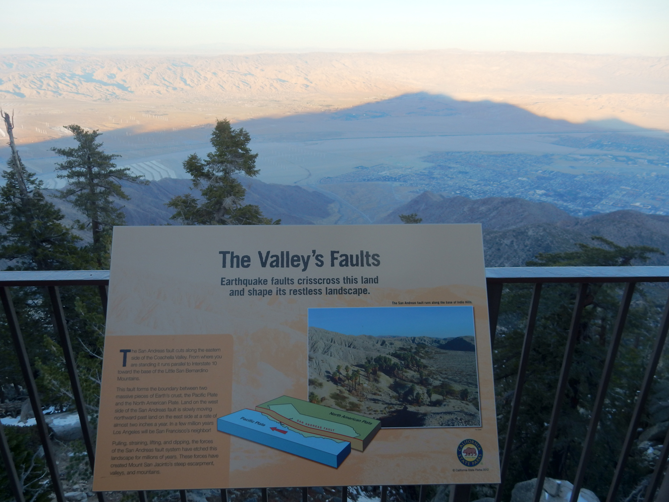
Note the mountain pyramid shadow and the San Andreas Fault in the background


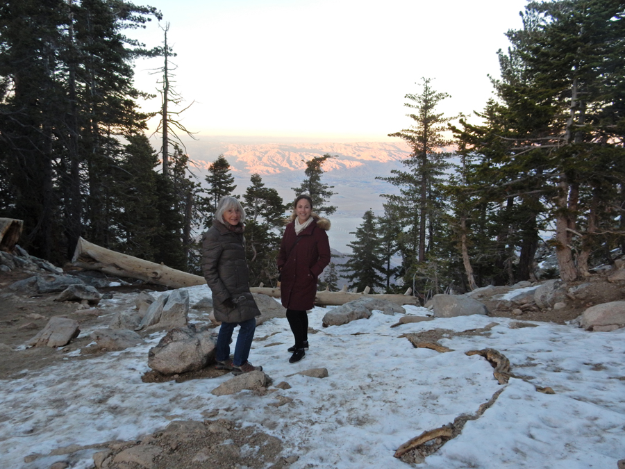
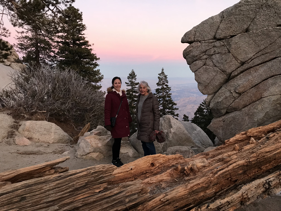
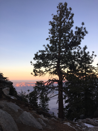
We then did the 1.5-mile Desert View Panoramic Trail before it turned dark. It was 25 degrees cooler on top (8,516ft) with some snow along the trails.


These viewpoints along the trail were called “Windows” because they allowed views of the valley


OK, the hiking was not a surprise, but dinner at the Peaks Restaurant, “A Culinary Experience Above the Clouds,” overlooking Palm Springs, the Coachella Valley, and the San Andreas Fault, was.

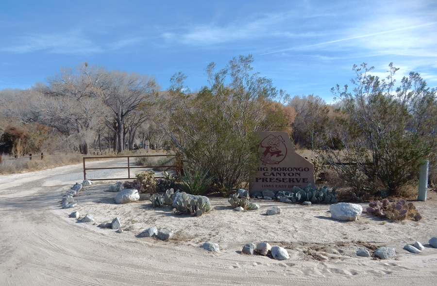
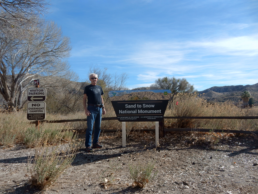
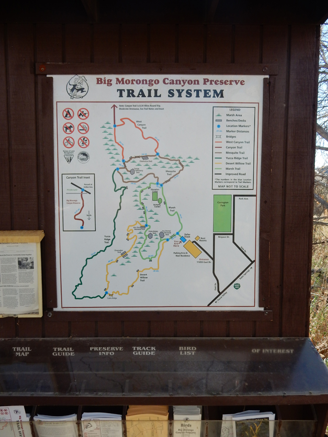
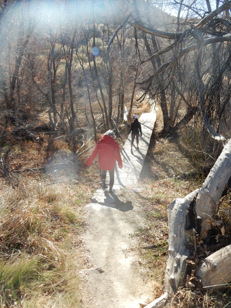
1/28 Sun – started our day with breakfast at the Fairfield Inn followed by a 1.2-mile hike in Big Morongo Canyon Preserve, another part of the new Sand to Snow National Monument.


It is a desert oasis environment with an abundance of plants, birds, and trees

We did a combination of the Marsh and Mesquite Loop Trails

Start of the hike

Nice boardwalks and observation decks along our route

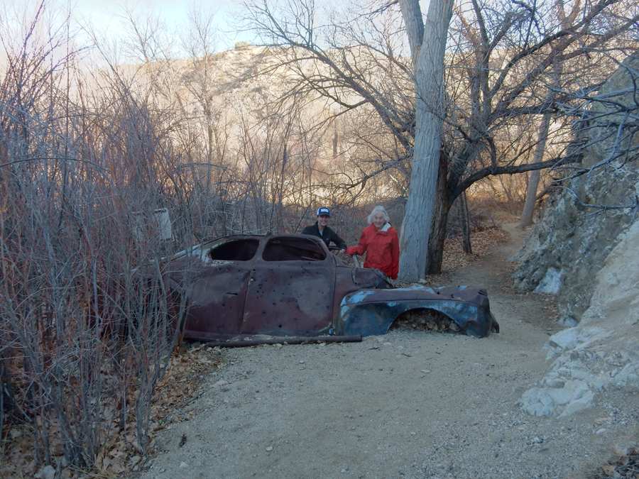
Thelma & Louise

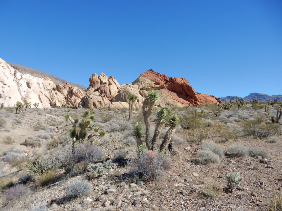
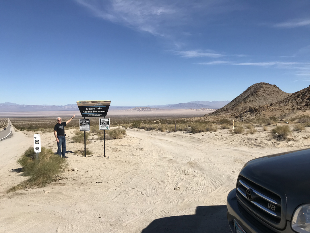
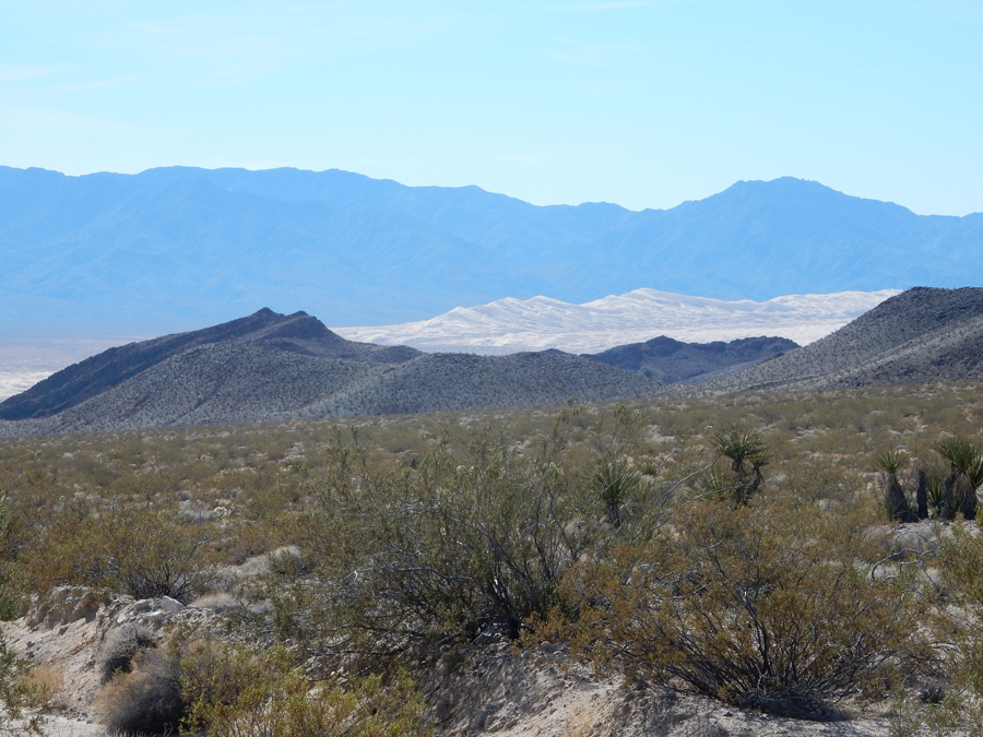
Kate left for LA and we continued to the new BLM Mojave Trails National Monument. This is the view from Sheephole Mountain

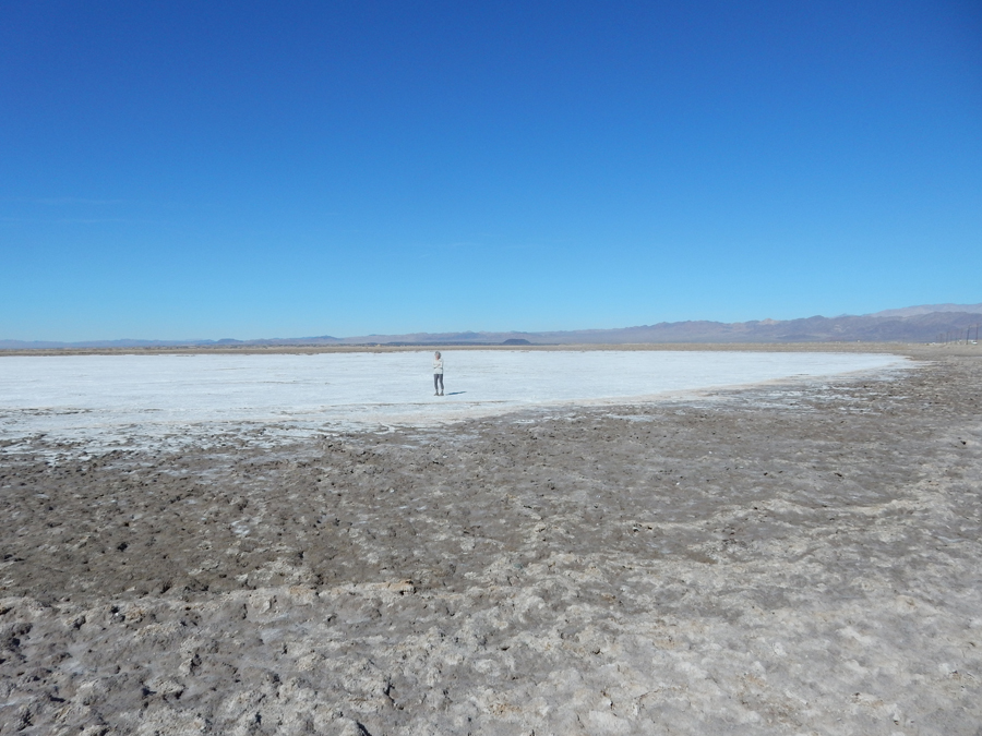
Salt mining


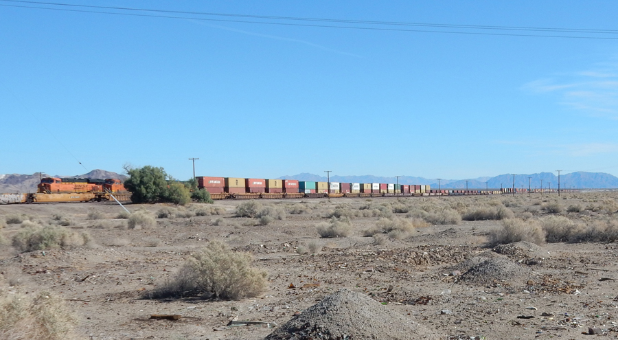
Trains run 24/7 both directions through the Mojave Desert. We saw several that were over 100 cars long with 6 engines

“Old” Route 66 – I love my model!

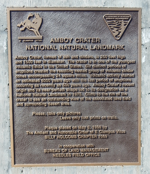
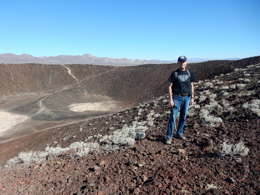
Entering Amboy Crater NNL site, which is now part of Mojave Trails NM


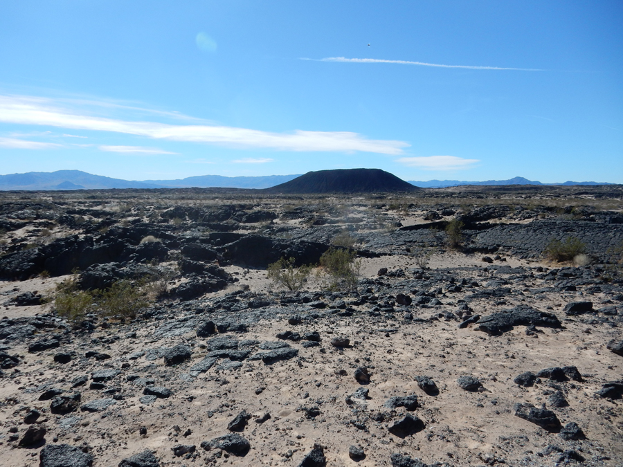
View of Amboy Crater from scenic overlook

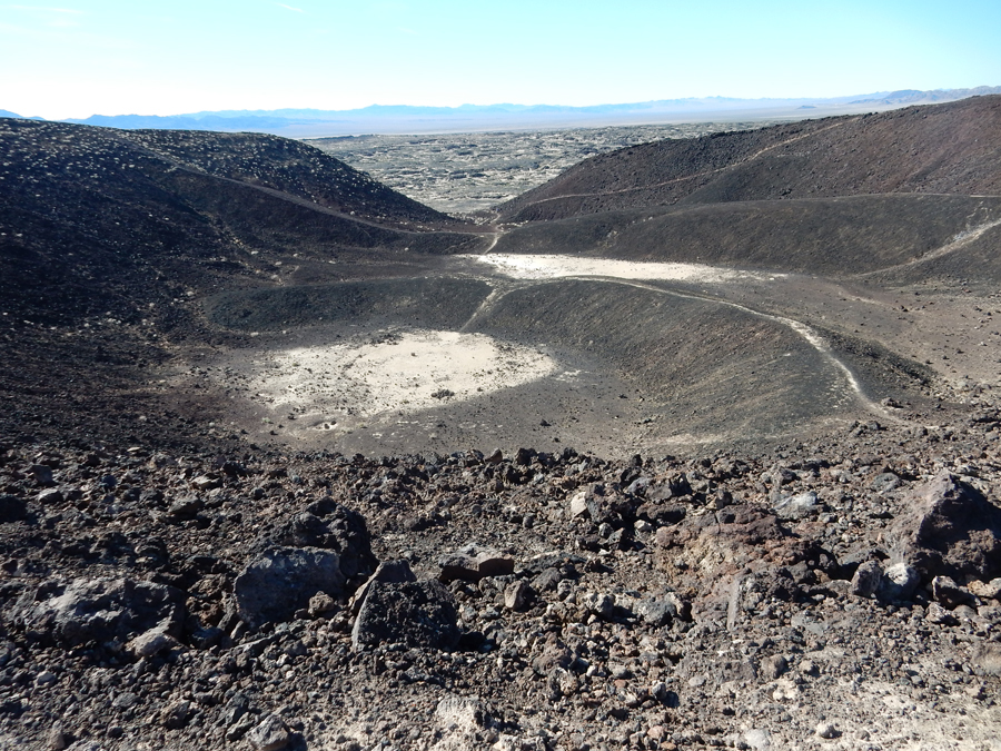
Starting 3-mile round trip hike to crater


Hiking into crater

Then climb to (about 250′ gain) and hike around rim


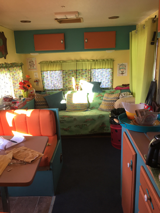
That night had dinner at Peggy Sue’s 50’s Diner in Yermo CA and then stayed in a trailer I had found on Airbnb about a half-hour east of the city. They called it “Glamping,” that is, Glorified Camping! Well, it would have been very nice, except they called us during the day and said there would be no hot water. Not wanting to find something else on short notice (not much out there in the desert), we said that would be OK. The woman said that they had put on the space heater for us because it would be cold that night. When we arrived, we found we could not adjust the space heater – so we ended up turning it off because it was just too hot in there. That night it dropped into the high 30s, we ended up half frozen!

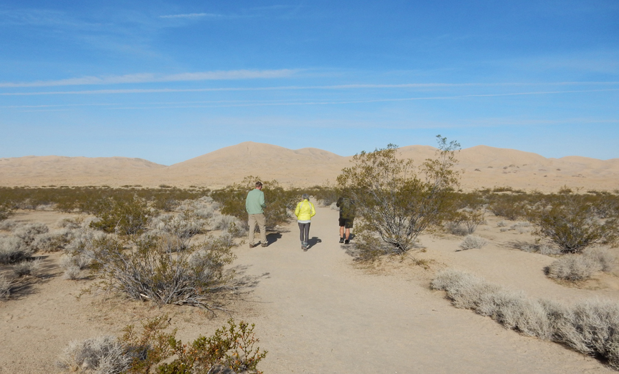
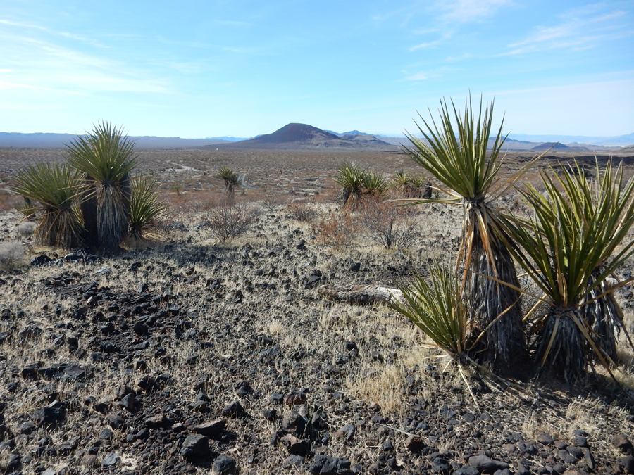
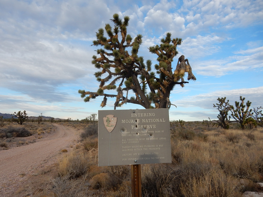
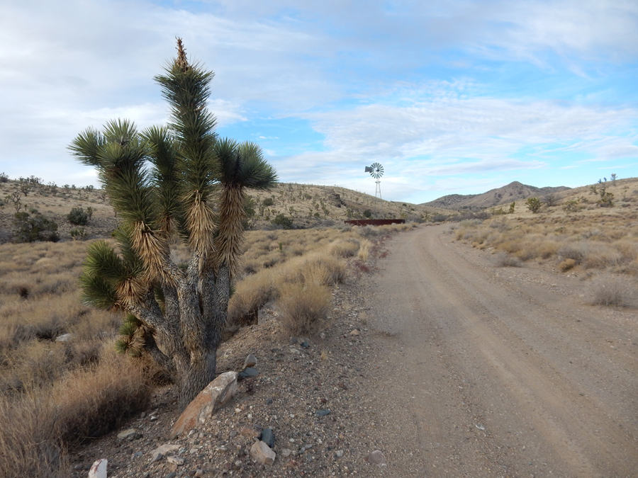
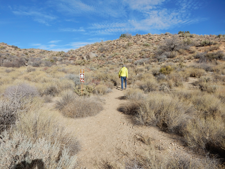
1/29 M – entering Mojave National Preserve


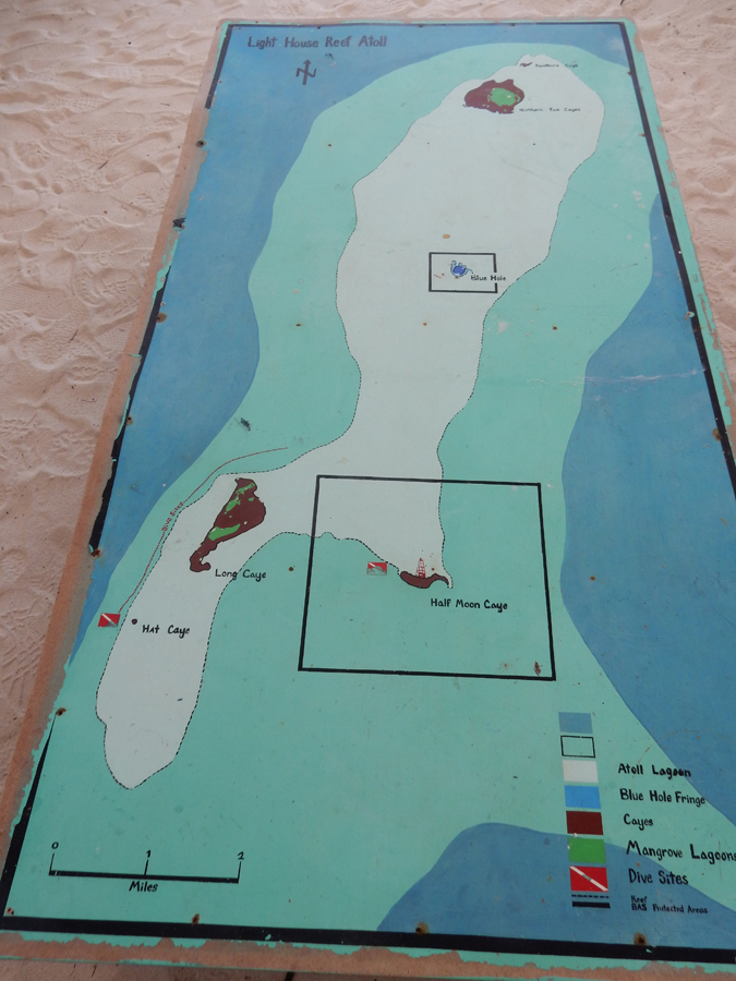
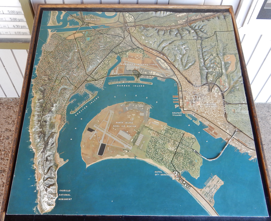
Use the above map to follow our travels within this huge National Preserve. Our first stop was the Kelso Dunes area of the preserve.


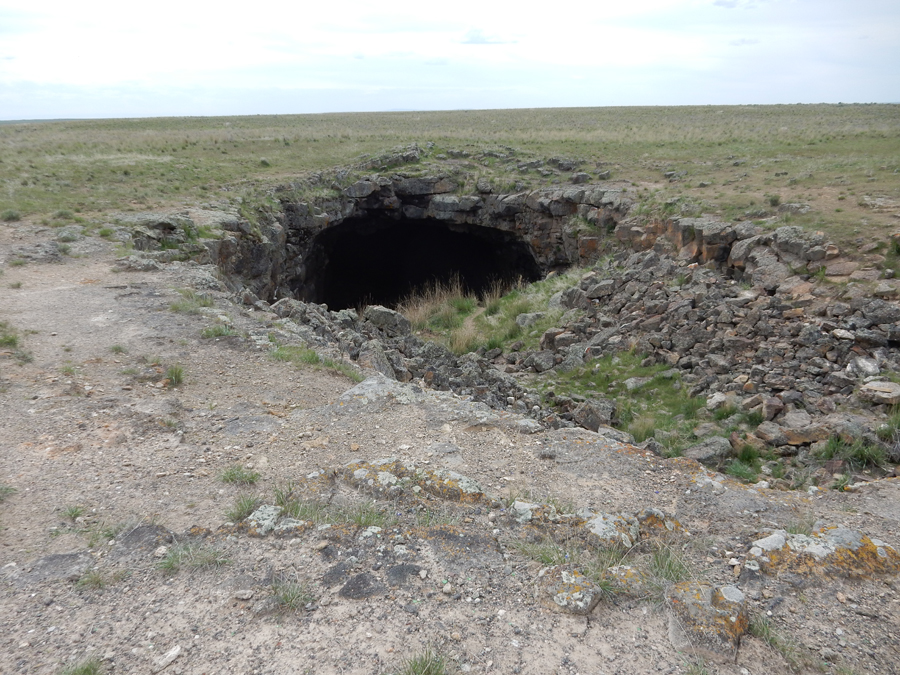
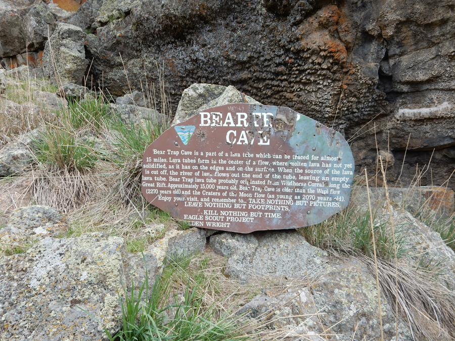
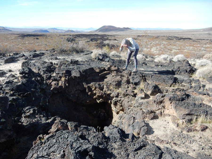
Next, we took a 5-mile, very bumpy, 4WD road to the Aiken Lava Tube


Interesting “Paw Print” and “Notch”

How would you like to have one of these volcanic balls landing on you!?

It was about a 0.25 mile hike up to the Lava Tube

“Yo, anybody down there?”

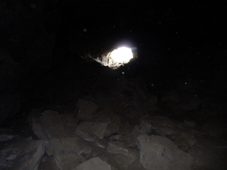
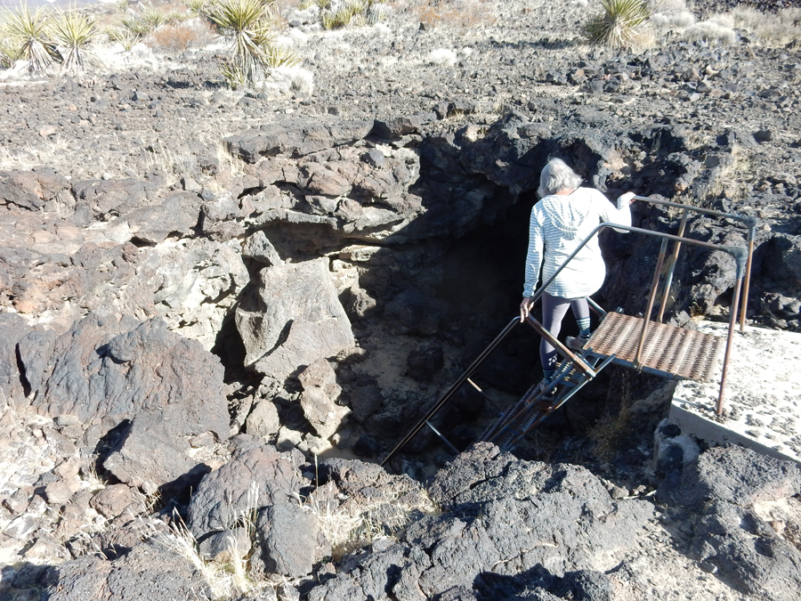
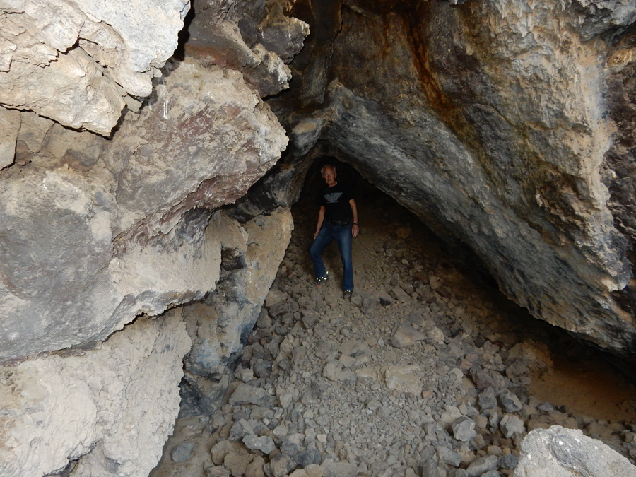
Stairs descending into lava tube.

View from inside-out
Exiting the tube

View toward Kelso Peak (4,764ft)

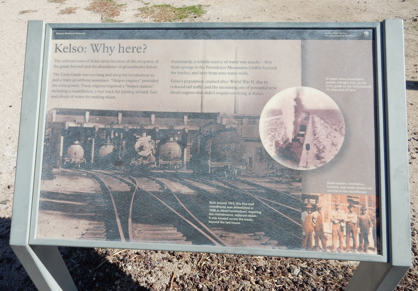
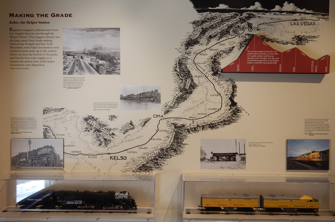
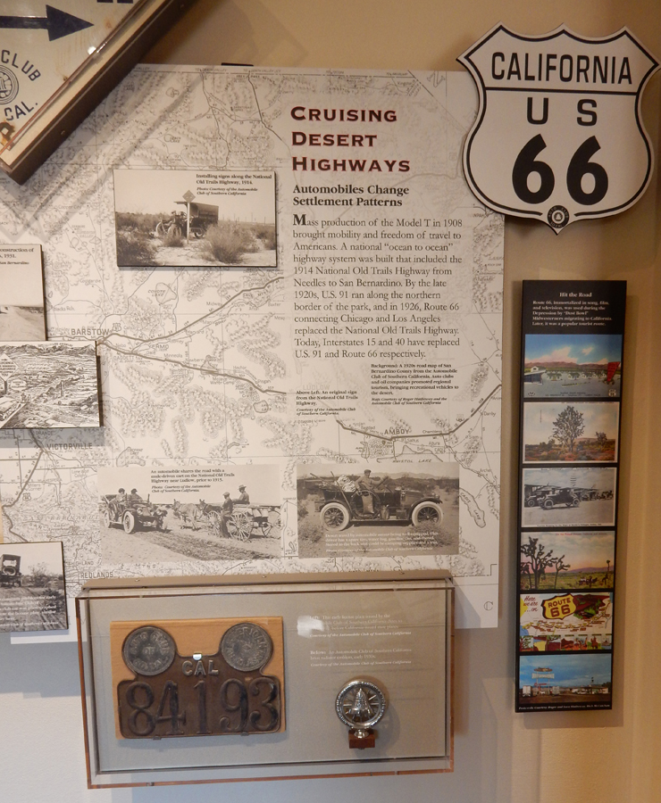
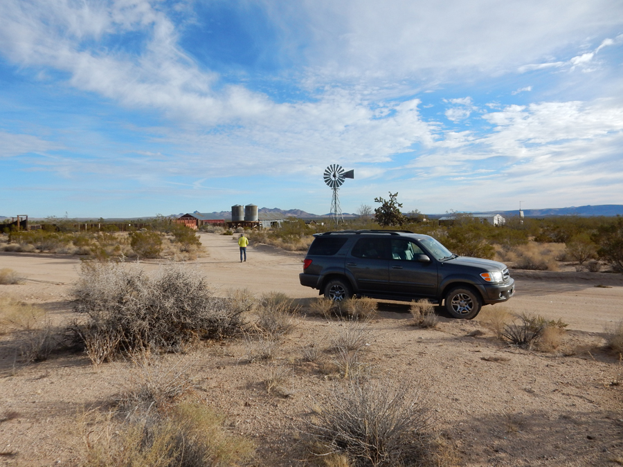
Kelso Depot Museum and Visitor Center – had a very good video


World War II Boom Town


Museum displays


Two of my favorite displays


The Mojave Road (4WD) – continues West to the right of the sign


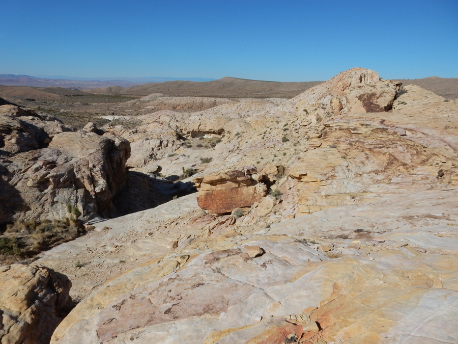
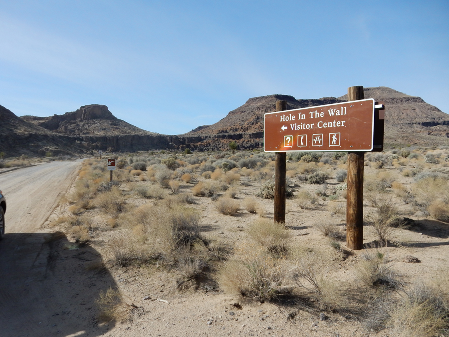
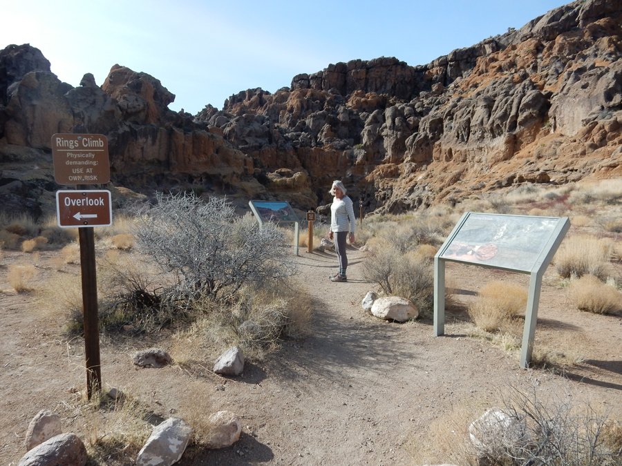
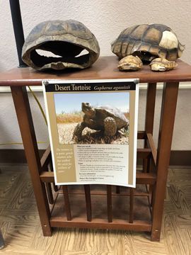
Out next stop was the Hole-in-the-Wall Visitor Information Center


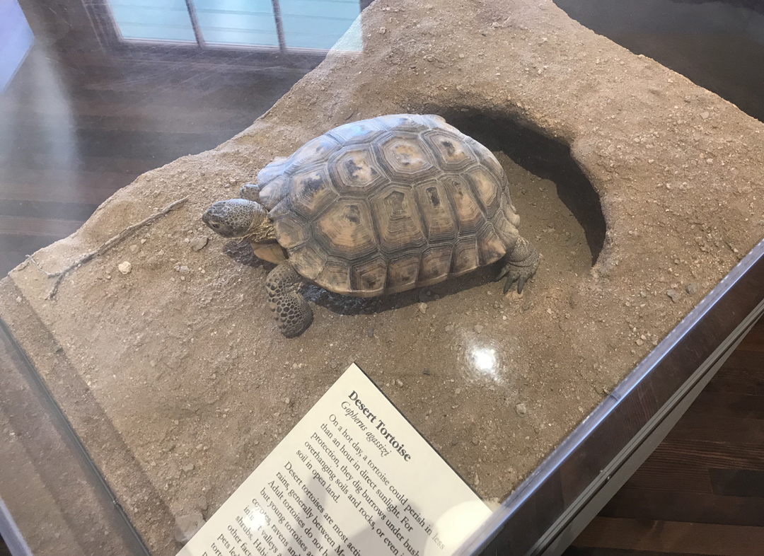
Interesting displays on the Desert Tortoise

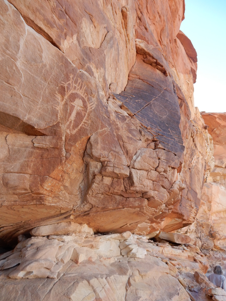
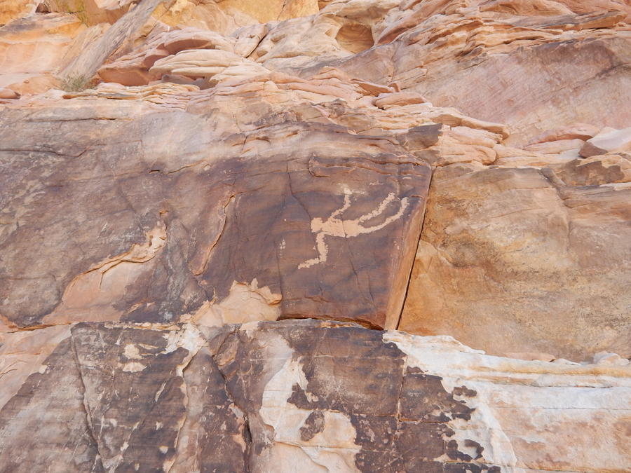
Our objective here was to do the 1-mile Hole-in-the-Wall Rings Loop Trail


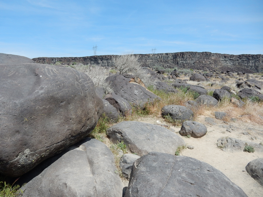
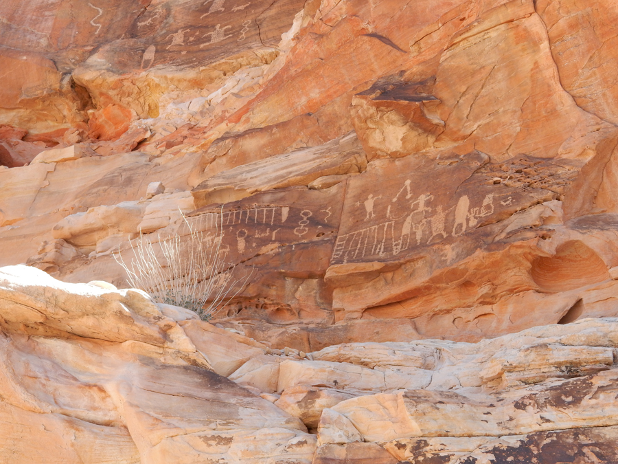
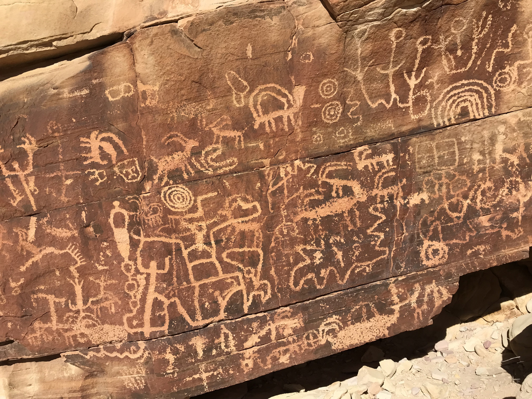
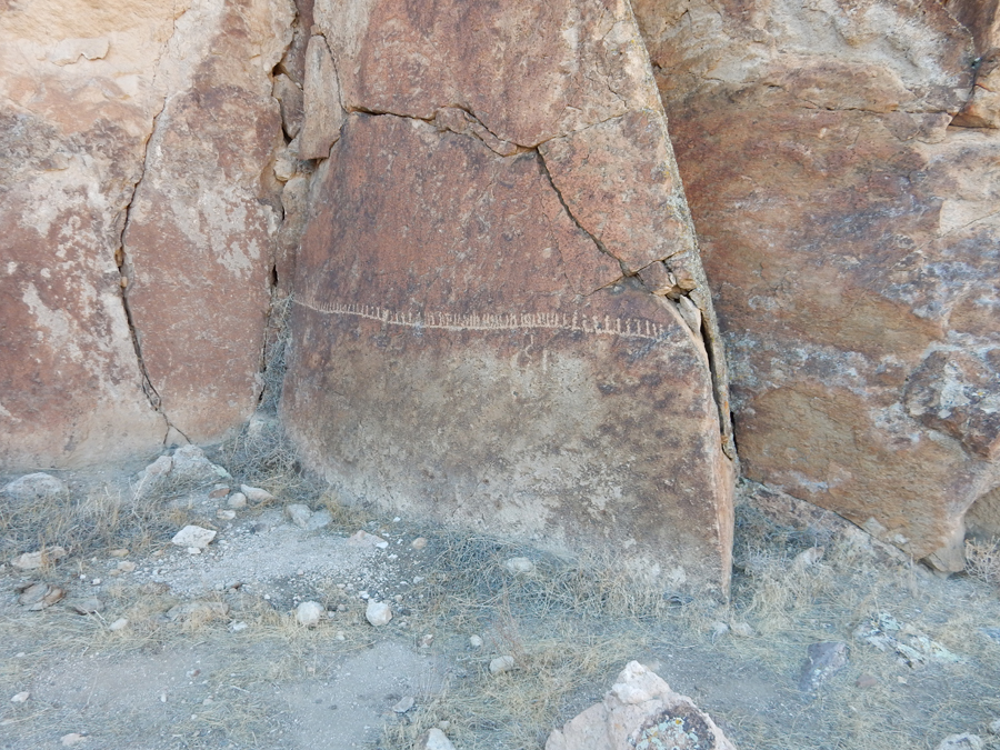
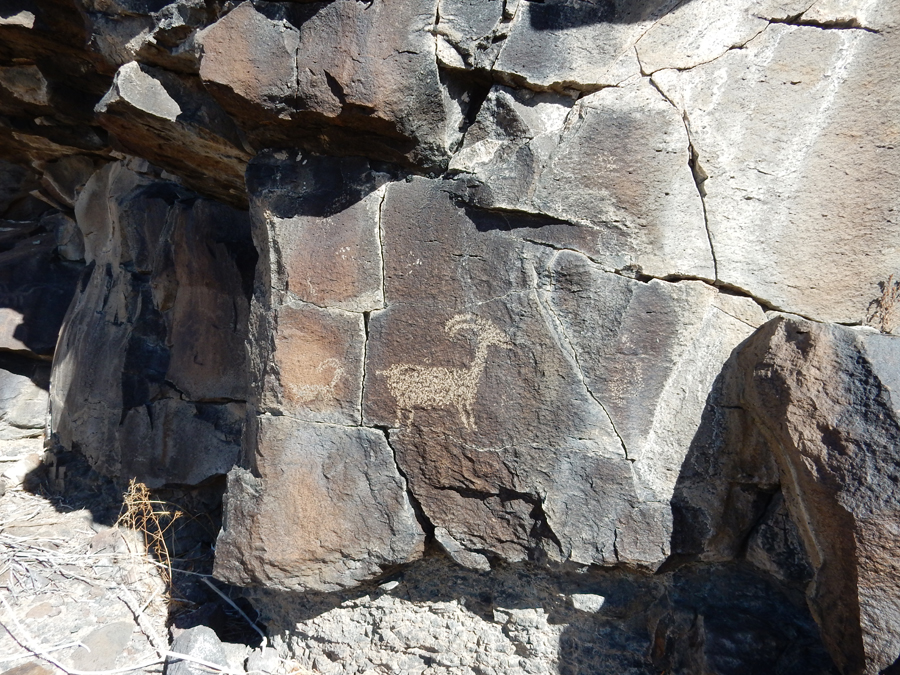
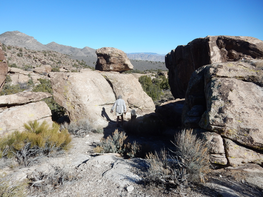
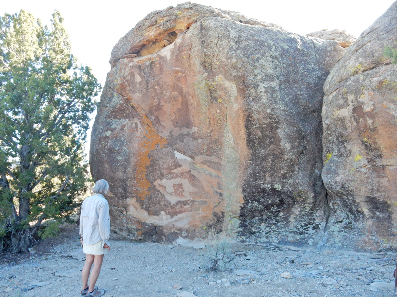
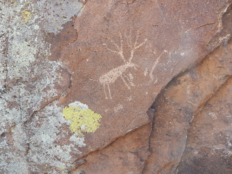
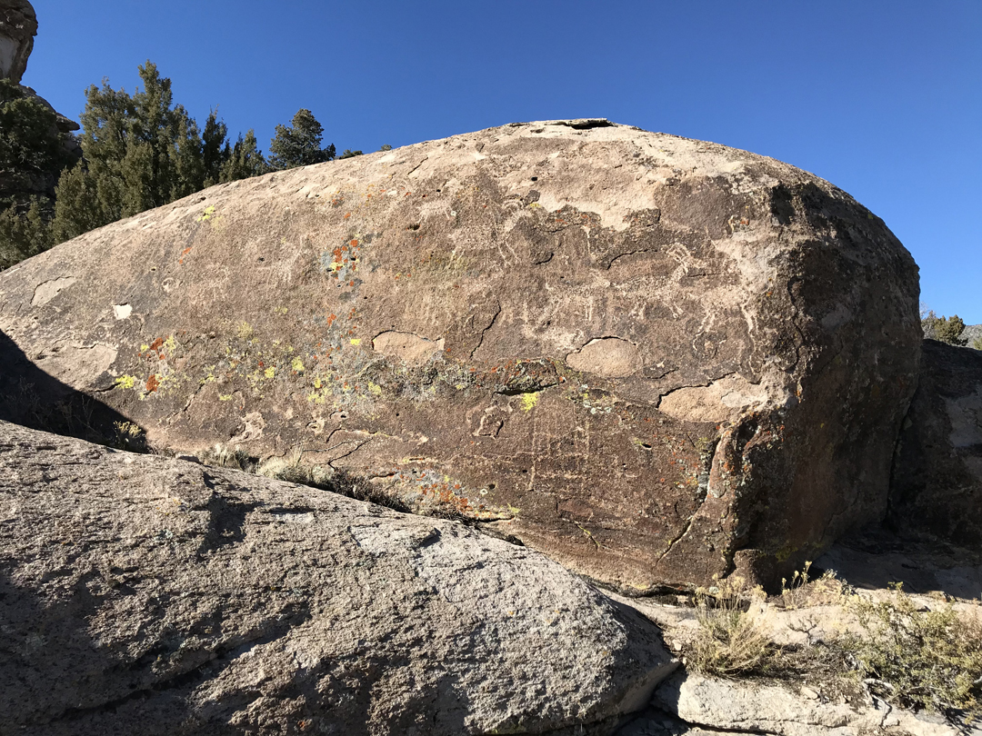
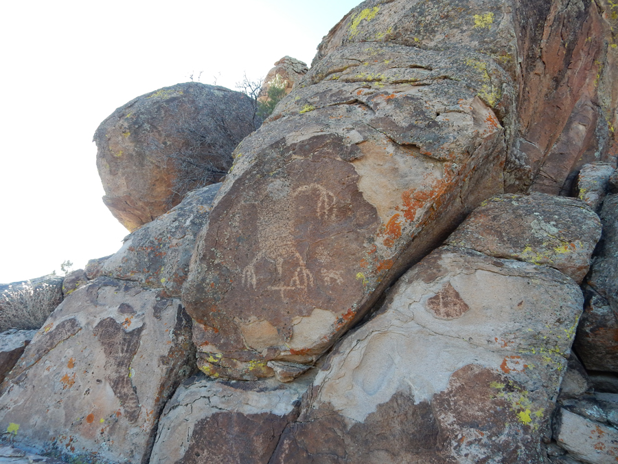
Petroglyphs along trail


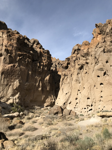
Rounding ridge and entering Banshee Canyon


Now you see why this area got the name Hole-in-the-Wall – it looks like Swiss cheese!


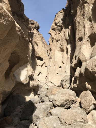
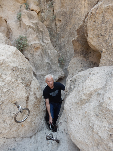
Approaching the climb


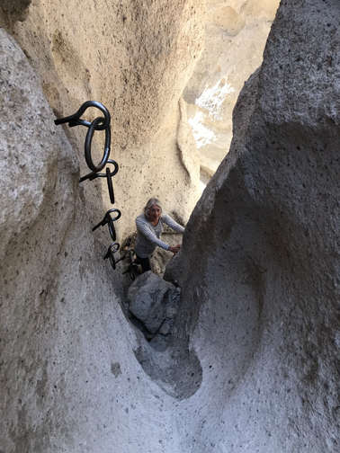
Stacked rocks and convenient metal climbing rings


Picnic area at top of climb

It took about an hour to drive to Nipton CA, population 20 – the tree area in the distance

The ENTIRE TOWN had been purchased by the American Green Co the previous summer. They are our country’s largest producer of marijuana.

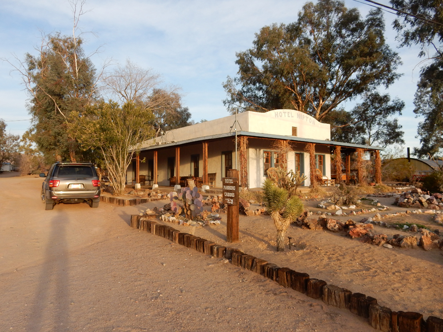
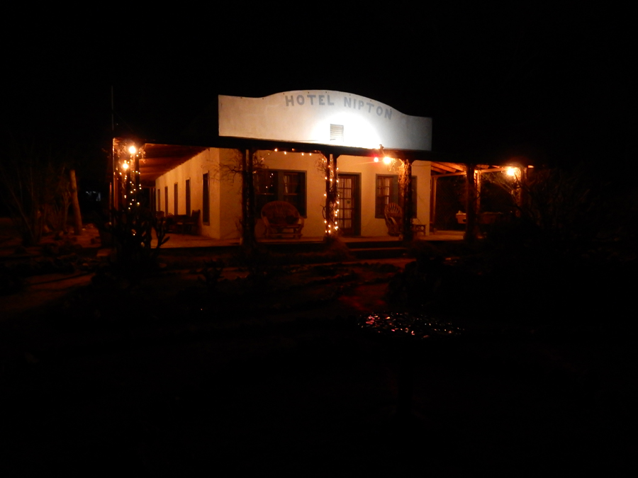
An old adobe building there, Hotel Nipton, served as a motel as far back as the 1920s. It was an overnight stop for Clara Bow, the “IT Girl” from silent movie fame. We were the only ones there and stayed in the Clara Bow room. That was nice because there were only male and female restrooms/showers for 5 rooms. One downside was that the Union Pacific RR tracks were only 50 feet from the front door and trains run 24/7 down this mainline!

Recreational marijuana became legal in CA on 1/1/2018. The American Green Co is planning on Nipton becoming a Marijuana Tour Destination. All legal marijuana, as well as CBD (Cannabidol) hemp seed oil products, are now available for purchase in the small store. Jim, the manager, gave me a lesson in the operation of the marijuana product dispensing machine (basically a safe that operates like a vending machine) and info on the CBD products.

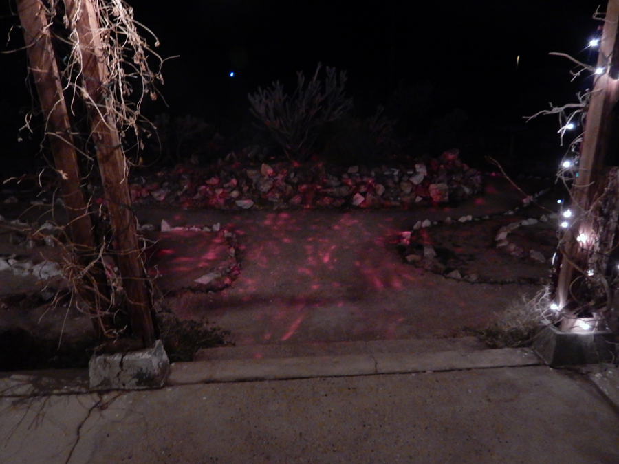
Psychedelic lights – to get in the mood!

The small restaurant there was not yet open for the season. So, we had to drive 20 miles to Searchlight NV where we ate a salad in a McDs inside the Terrible’s Casino and truck stop.
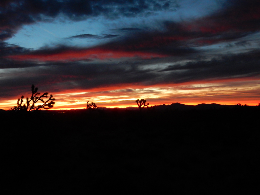
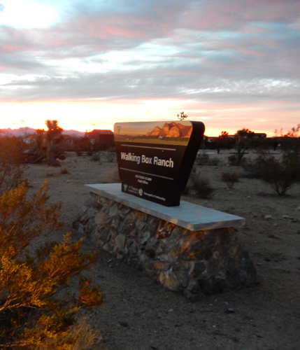
1/30 Tu – we were up early and drove back across the border into NV to access the Walking Box Ranch Road that drops south to the Nature Conservancy area. Sunrise in the desert –


Walking Box Ranch

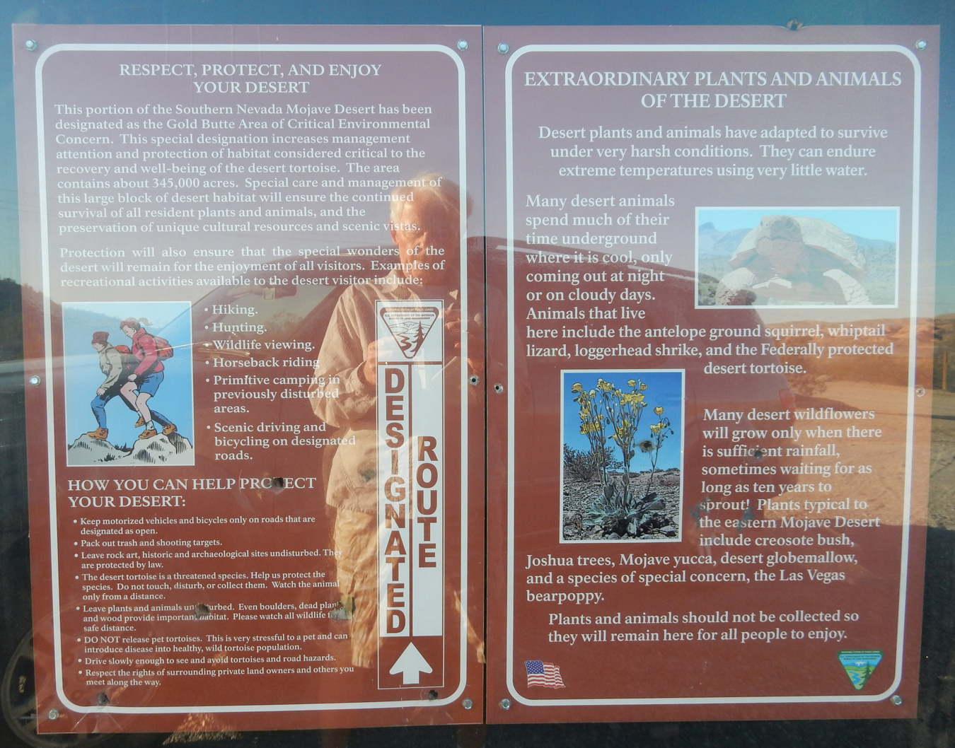
The 4WD road continued south into Castle Mountains National Monument, which is in CA. It is embedded in Mojave Desert National Preserve along the NV border.

This new National Monument was designated by President Obama in 2016


I had some difficulty finding information on the NM but did discover that Canadian Newcastle Gold Ltd. has a lease on a large track in the middle of the monument that expires in 2025. They have been permitted to excavate 10 million tons of ore. However, the info also stated that the mine was not active due to the relatively low value of gold and cost of open pit extraction at this location. Well, guess what? They are gearing up to re-open the mine! A van of workers going to the mine stopped us and asked what we were doing in the area. The foreman warned us not to go on mine property. He also stated that it would take them 18 months to gear up for the ore extraction. I was a little lost? (I never get lost) So, I drove to the mining operation to ask for directions.

They directed me to the 4WD track that went west, back into the Mojave National Preserve.

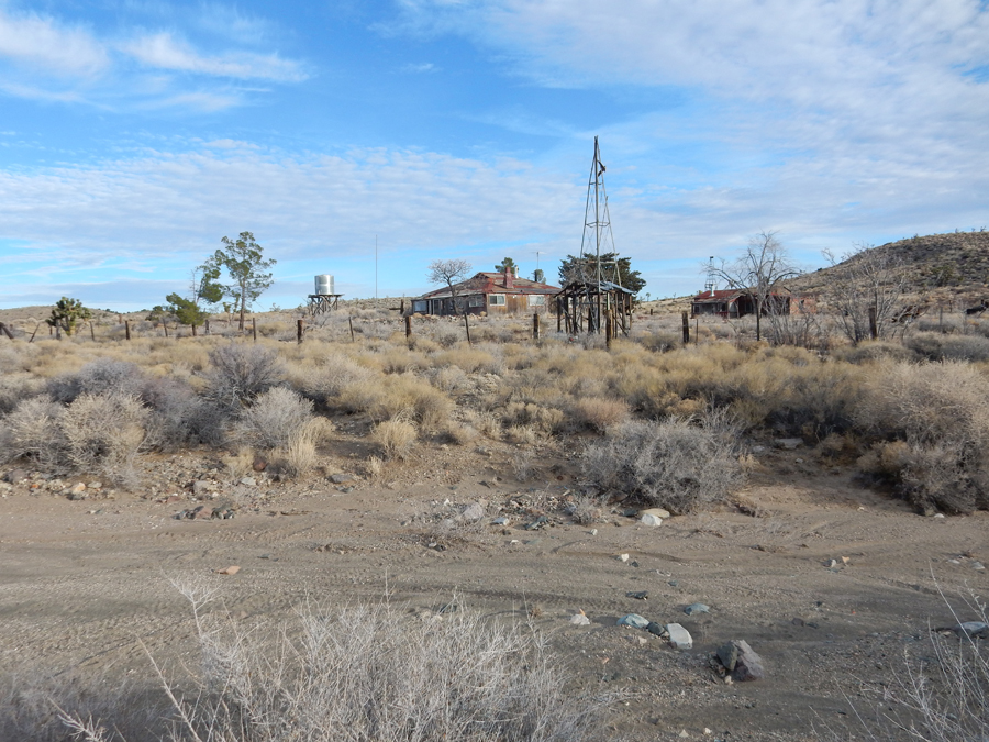
Took the Hart Mine Rd to the Ivanpah Rd – the deteriorating ranch buildings in the Preserve are slowly returning to the natural landscape


The OX Cattle Ranch is still in pretty good shape


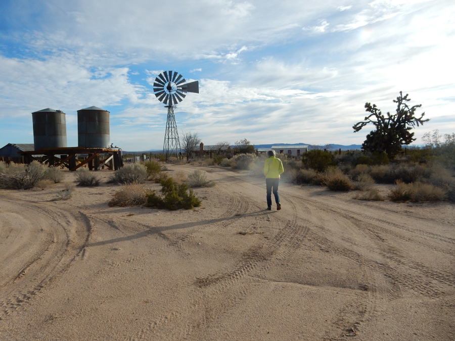
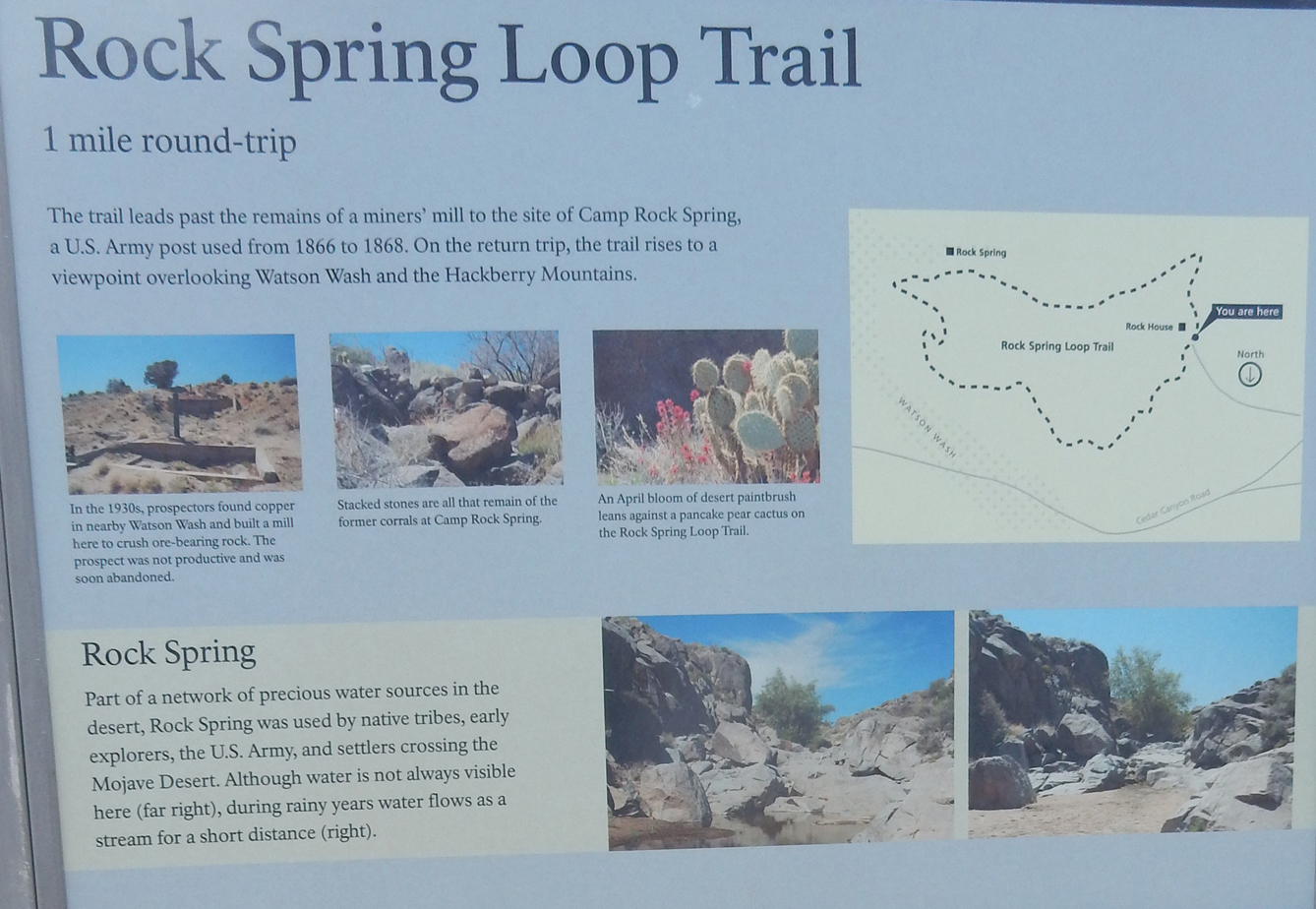
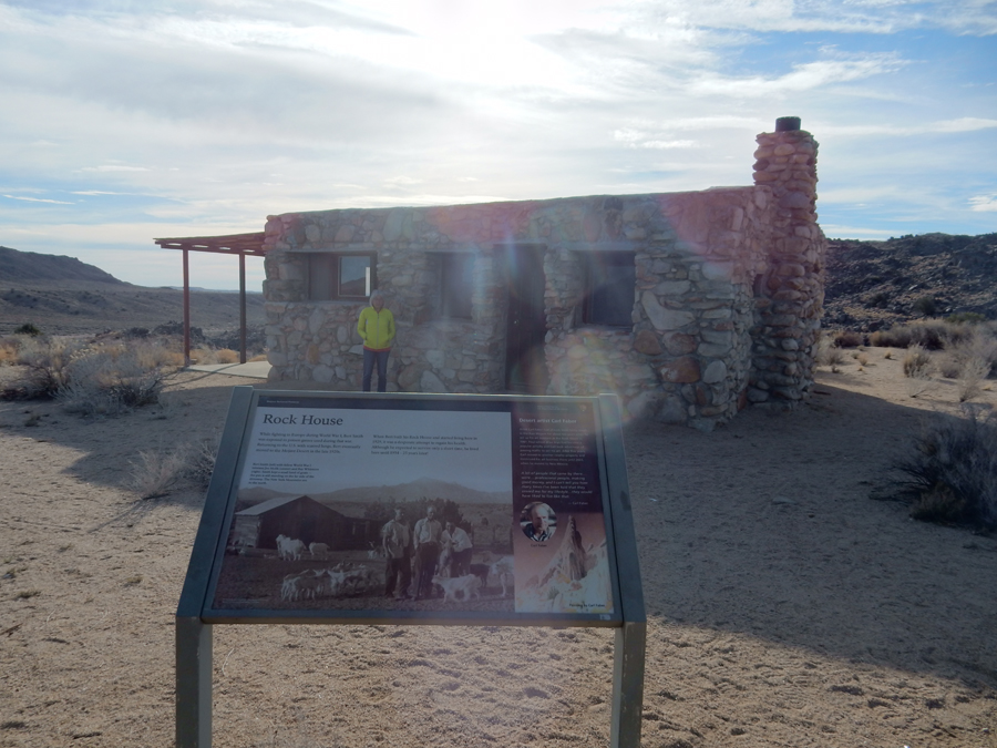
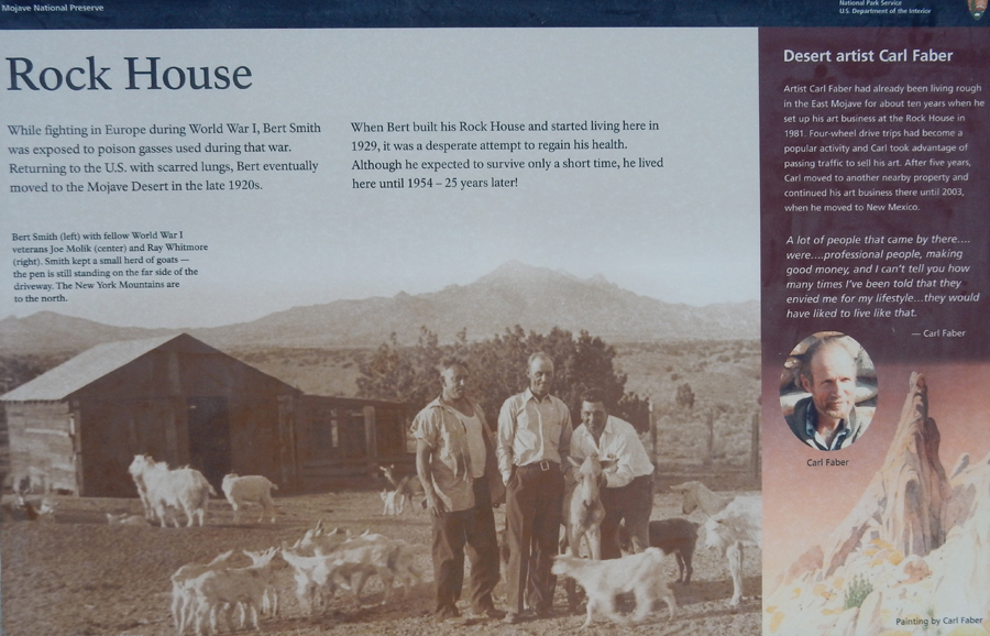
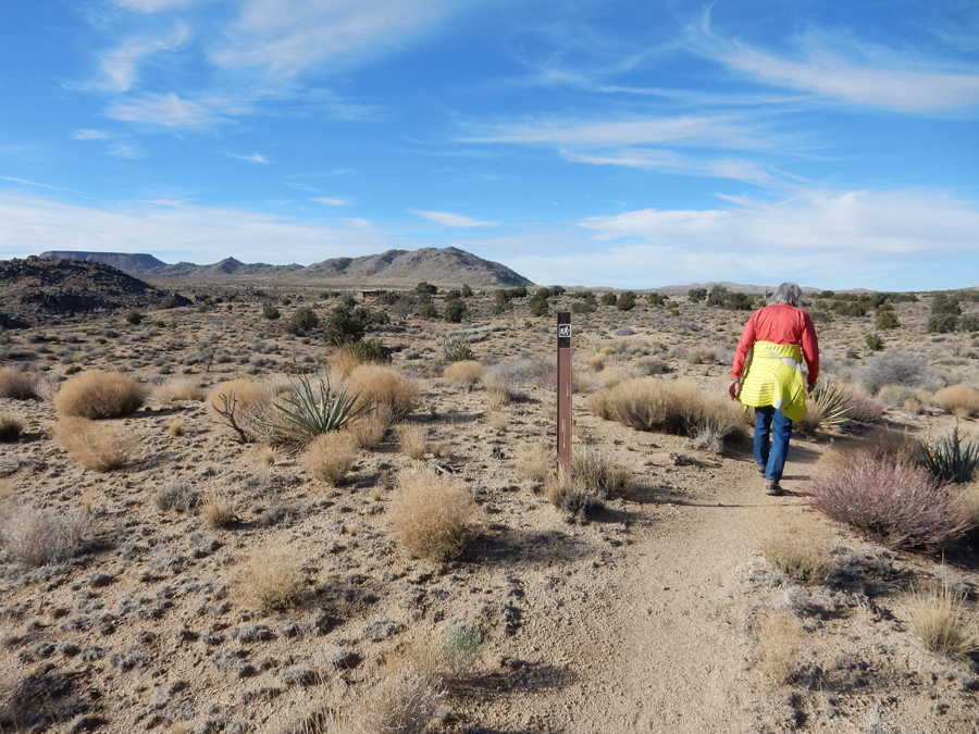
Our last hike in the Mojave Preserve was the 1-mile Rock Spring Loop Trail

Our first stop was the Rock House


We then continued to Rock Spring


Rock Spring was an important water stop for Indians, travelers, and commerce.

On the trail back to the Rock House and parking lot


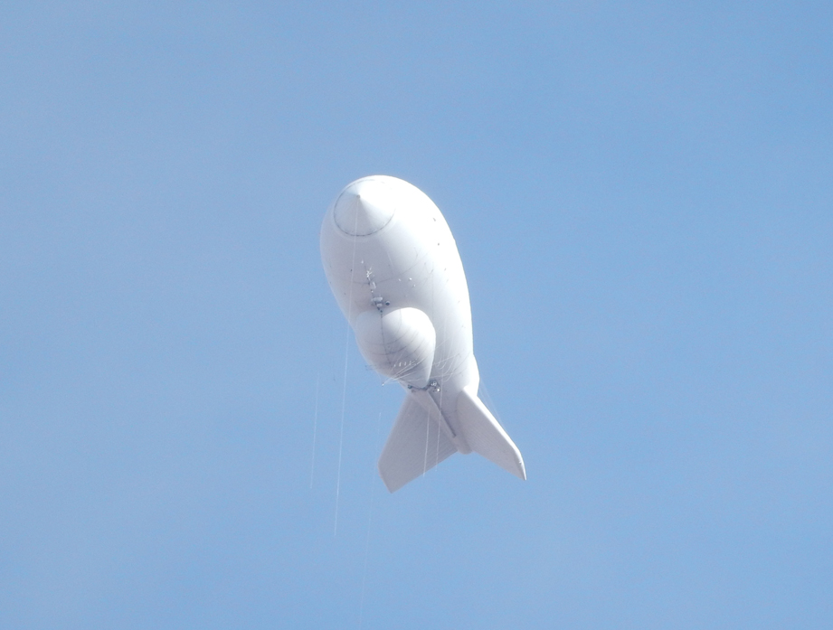
We exited the Preserve and took US 95 south to Blythe CA, crossed over into AZ and drove by the Yuma Proving Grounds where we saw this observation blimp

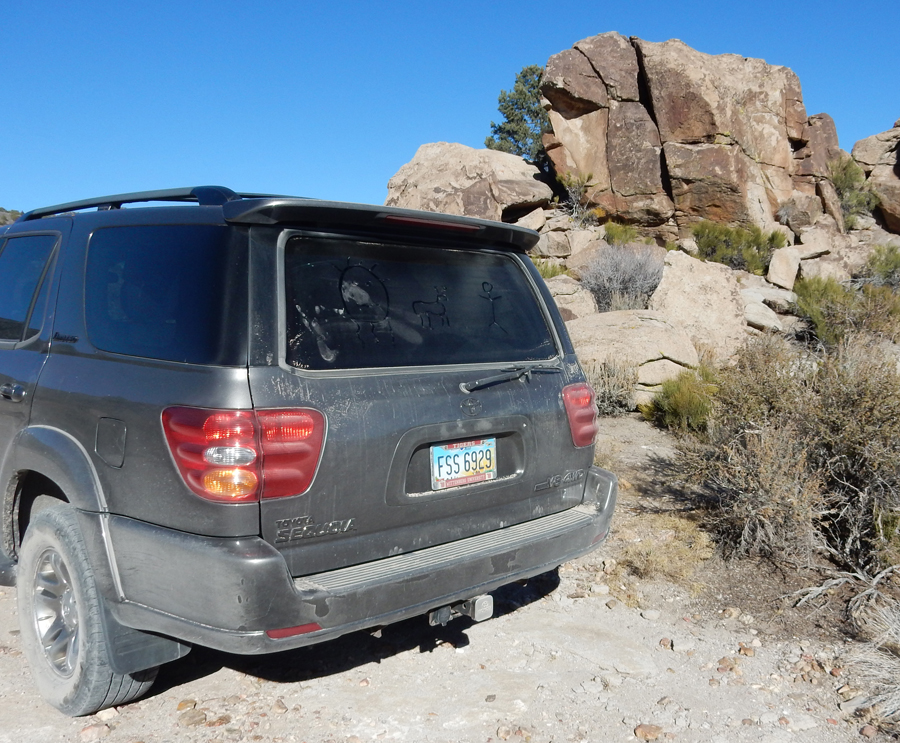
Picked up some fruit and vegetables in Yuma and then took I8 along the Mexican border, through the Imperial Sand Dunes Recreation Area, and on to a Prime Rib dinner (which we shared for $8.45) at the Golden Acorn Casino near San Diego. Our Toyota Sequoia SUV is a great all-purpose road trip vehicle. It is comfortable, powerful, rugged (4WD), roomy (we are now carrying a metal patio set for Kate), corners well, and is small enough to maneuver in traffic.
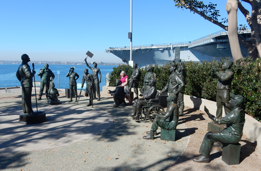
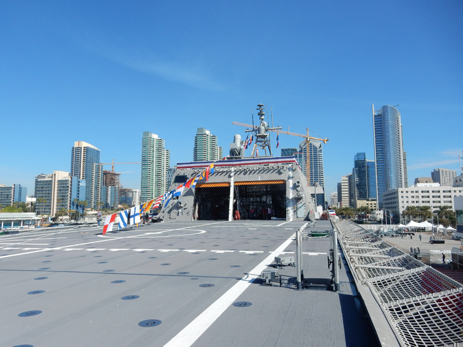
We arrived at our Airbnb hotel room (the Nautical Escape) in downtown San Diego about 6:30pm. That was planned, because there is free street parking from 6pm to 8am!
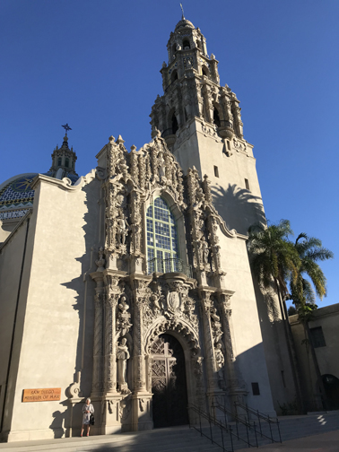
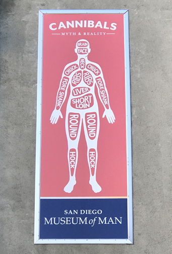
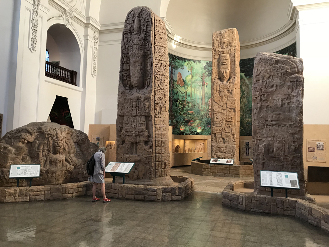
1/31 W – Parked on the west side of Balboa Park about 8am. The park was built for the 1915-16 Panama-California Exposition to commemorate the opening of the Panama Canal. Buildings were built in Spanish-Renaissance style. We walked El Prado Ave past the Museum of Man to the Prado restaurant for coffee.


El Cid statue in Plaza de Panama

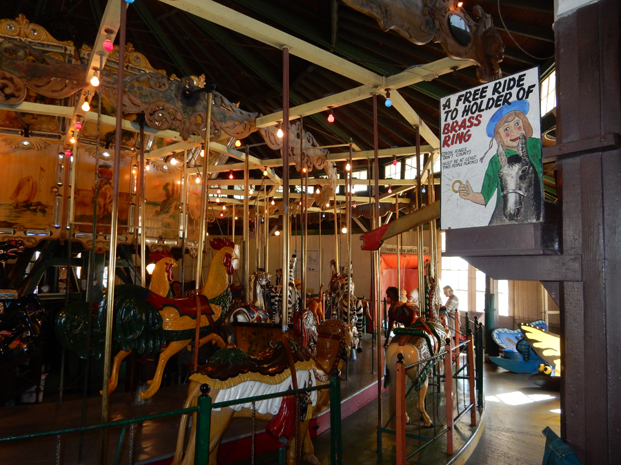
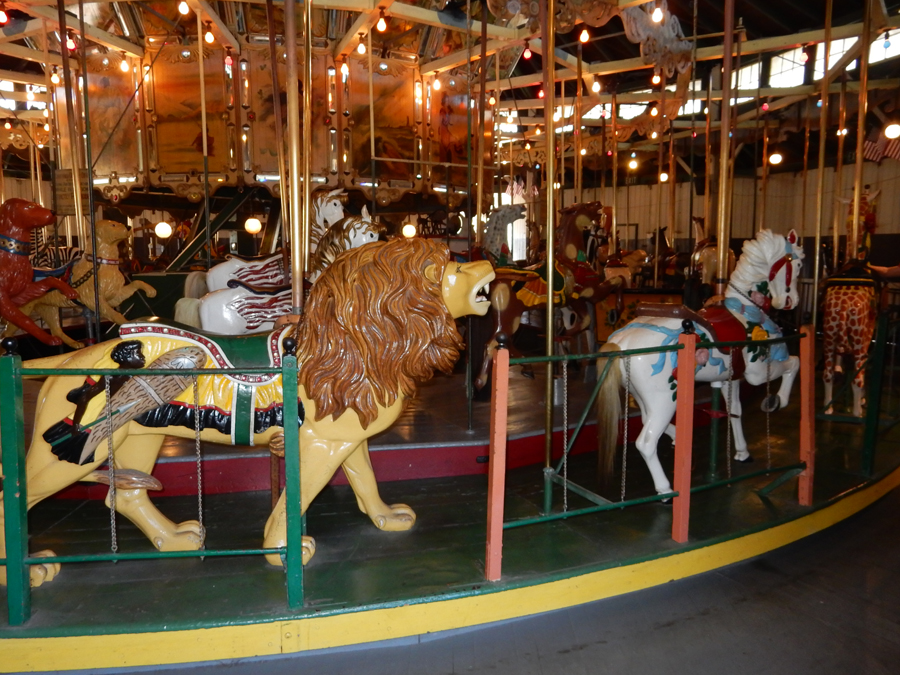
Stopped by the old Carousel on our way to the Zoo. It was built in 1910 in NYC and shipped to CA. After set-up in LA and in Coronado, it made its way to Balboa Park in 1922. It is a menagerie of animals and all but two pairs are original with hand-carved European craftsmanship. Also original are the hand-painted murals surrounding the upper portion of the carousel and the military band music. This carousel is one of the few in the world still offering the brass ring game for everyone taking the 5-minute ride.


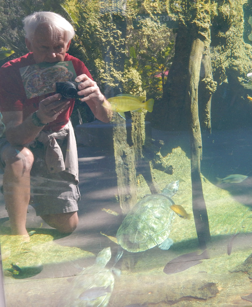
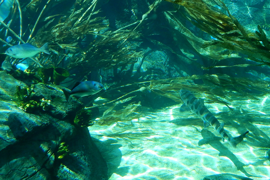
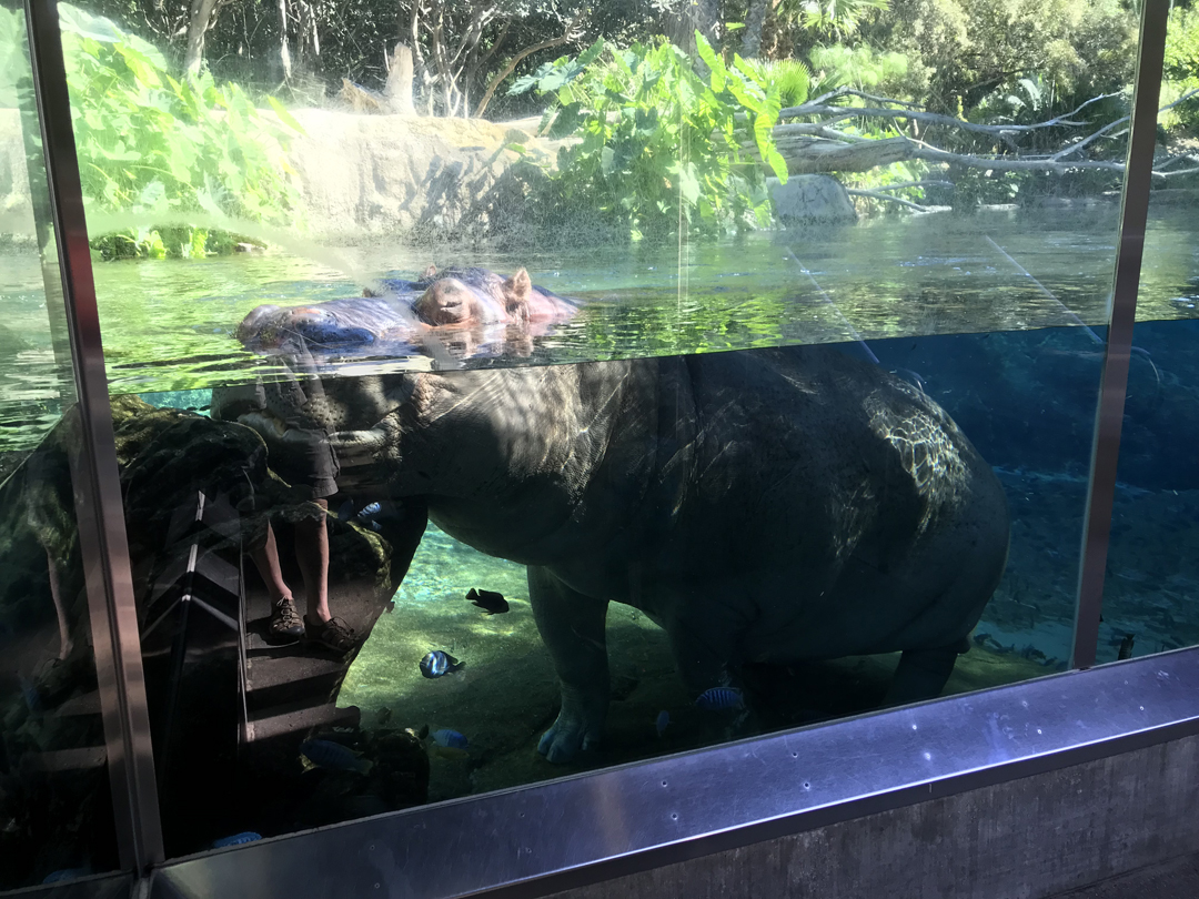
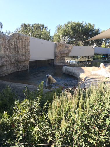
We had anticipated spending two hours in the Zoo but ended up staying for five!


Hippo – reflection makes it look like half of me is in his mouth!

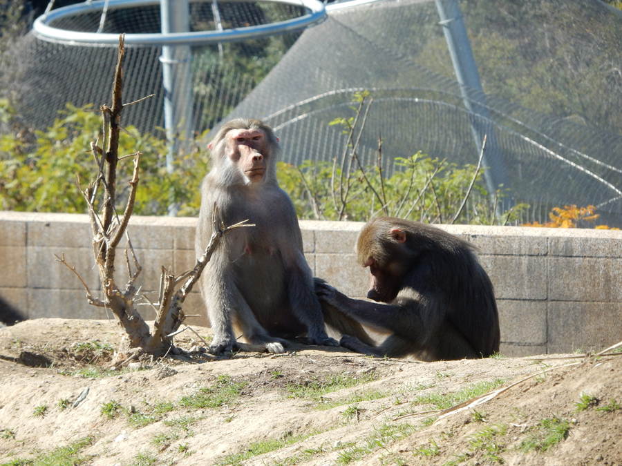
Monkey Business


Selected Pics –


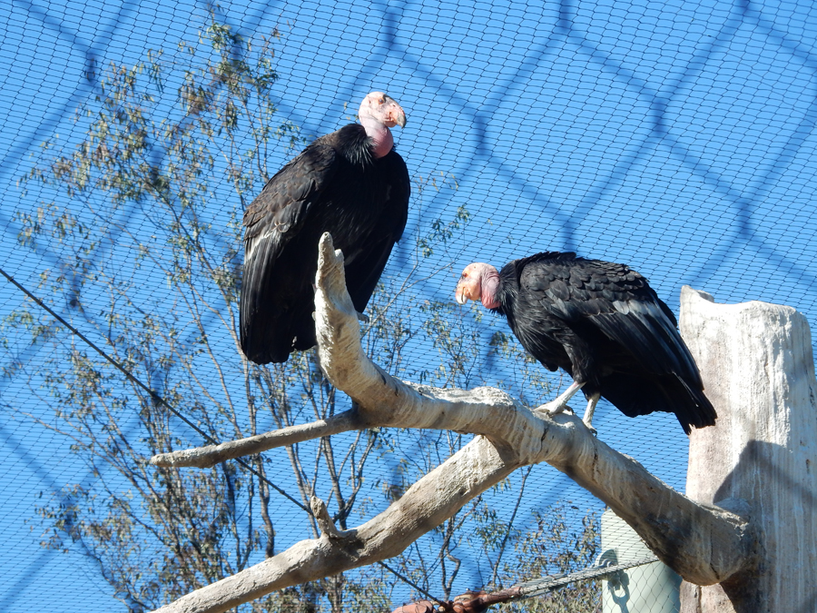
California Condors


Beside a ton of walking, we did the Aerial SkyFari and a bus tour


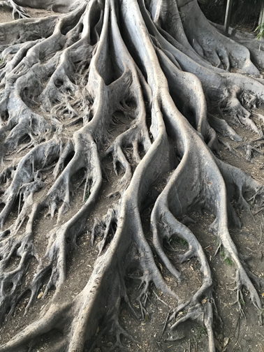
Tree roots – Balboa Park

Drove to Jonathan and Christina’s house north of the city for a pizza dinner at 6pm. It took an hour and fifteen minutes to get there and 20 minutes to get back! I hate city traffic!