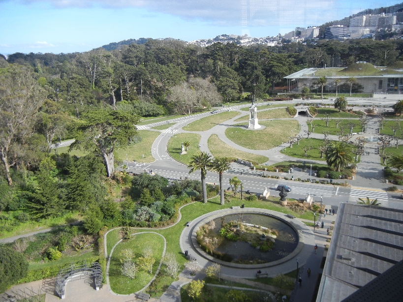
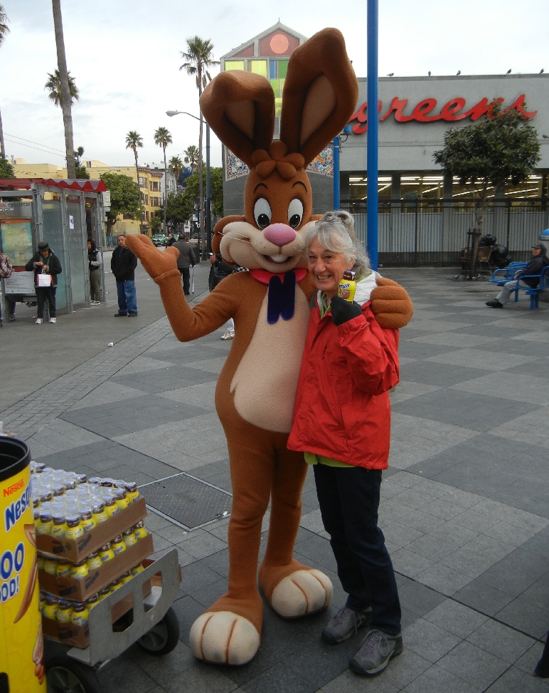
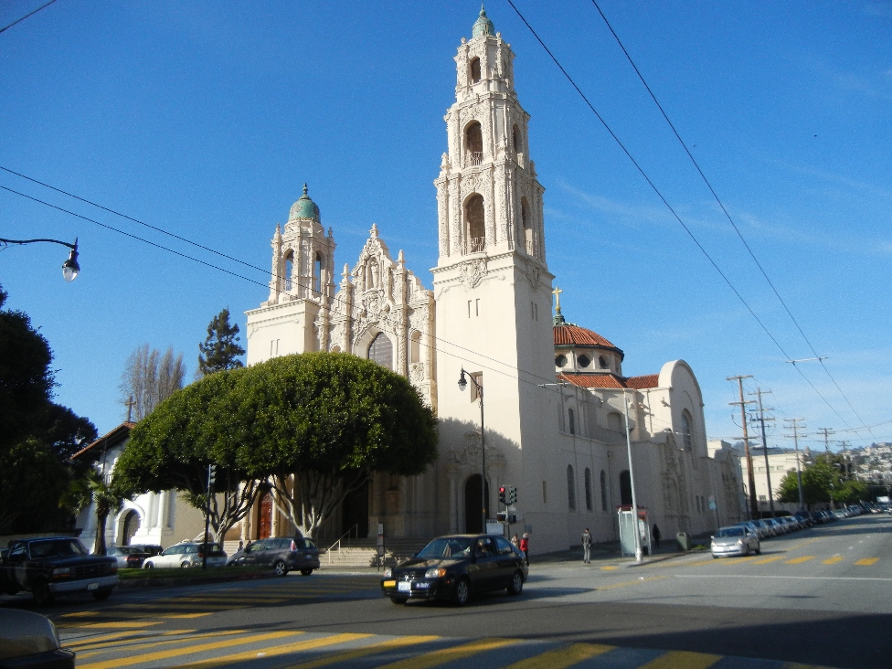
March 7 – Mosaic Staircase in San Francisco


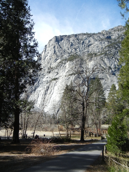
March 8 – Yosemite National Park

Tunnel View Yosemite Valley

Bridalveil Falls

El Capitan
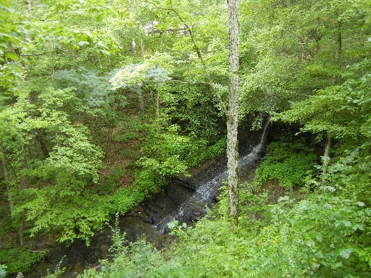
Upper and Lower Yosemite Falls

Merced River and Half Dome

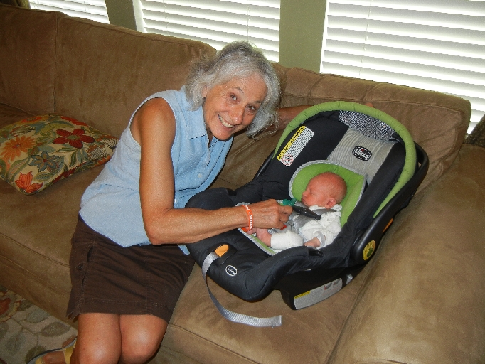
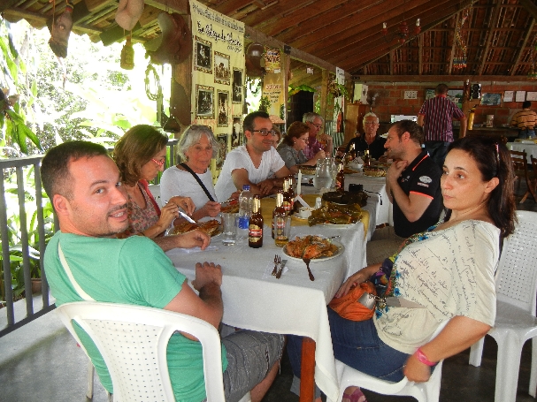
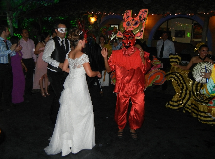
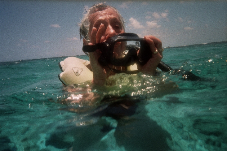
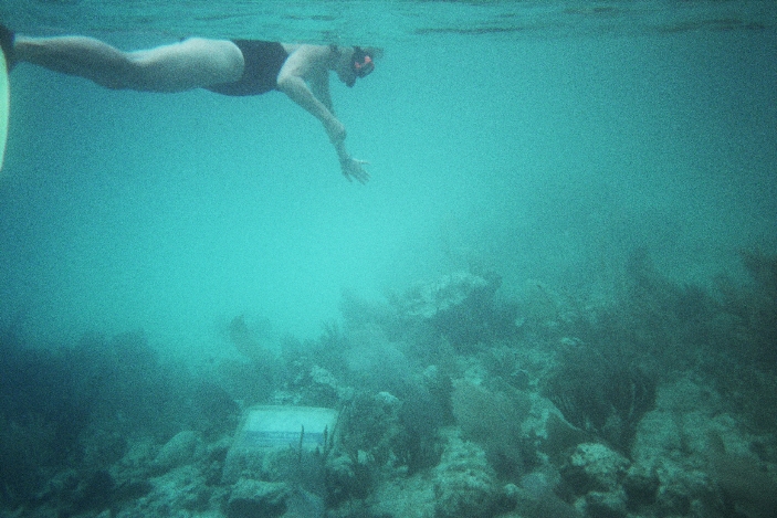
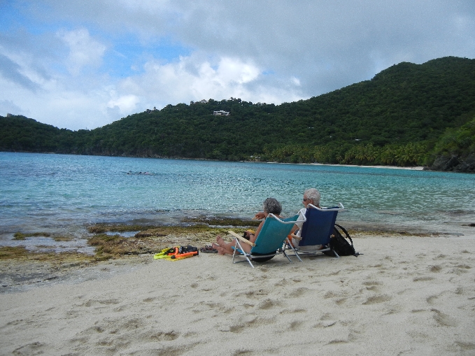
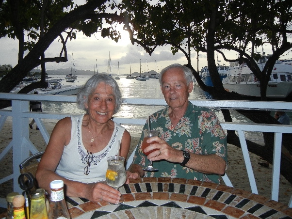
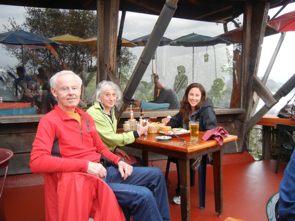
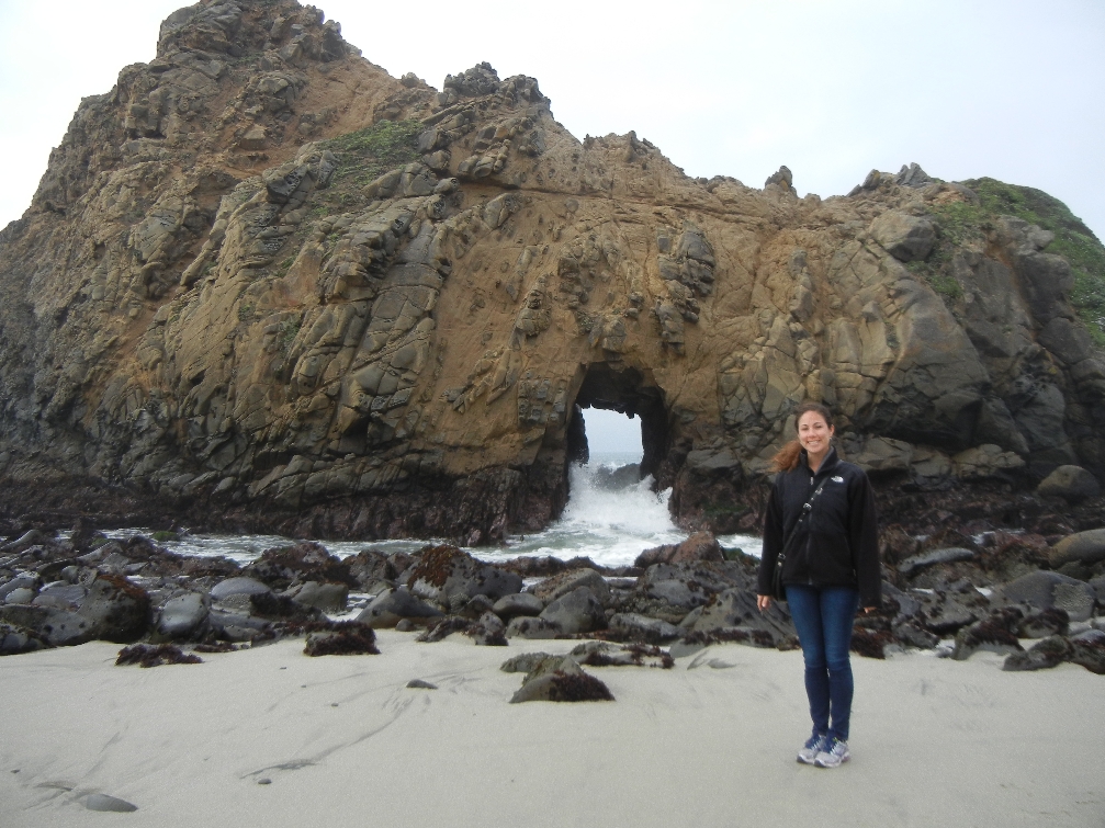
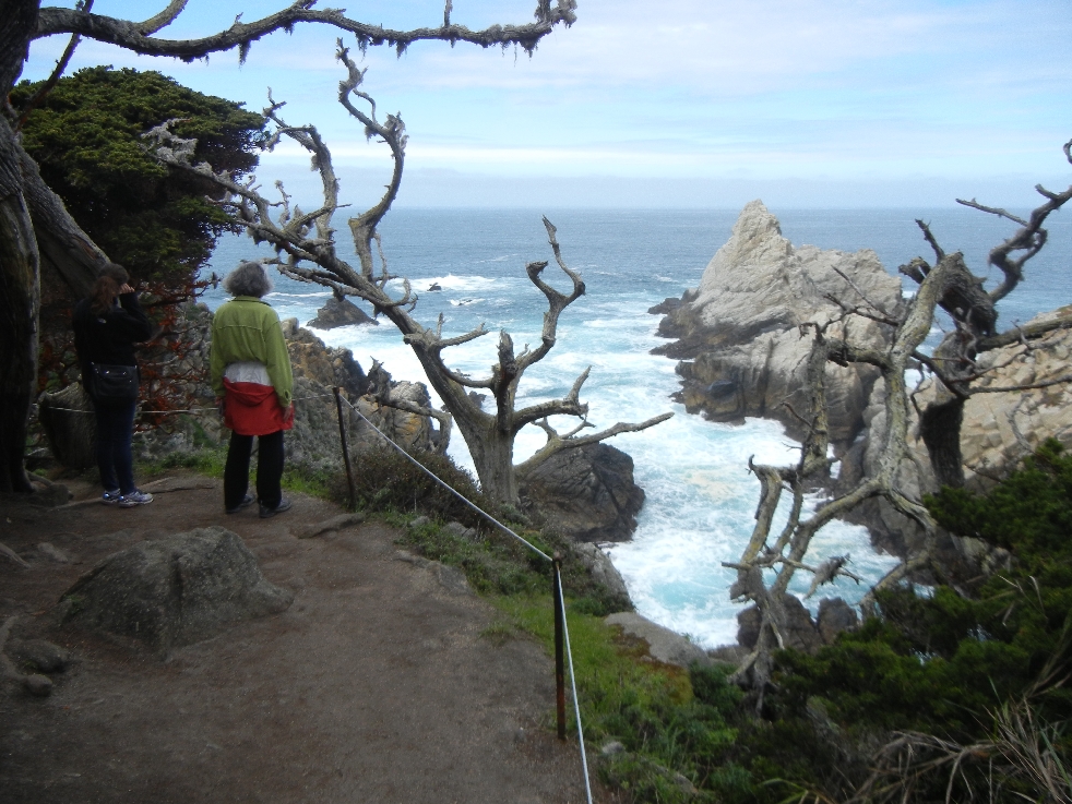
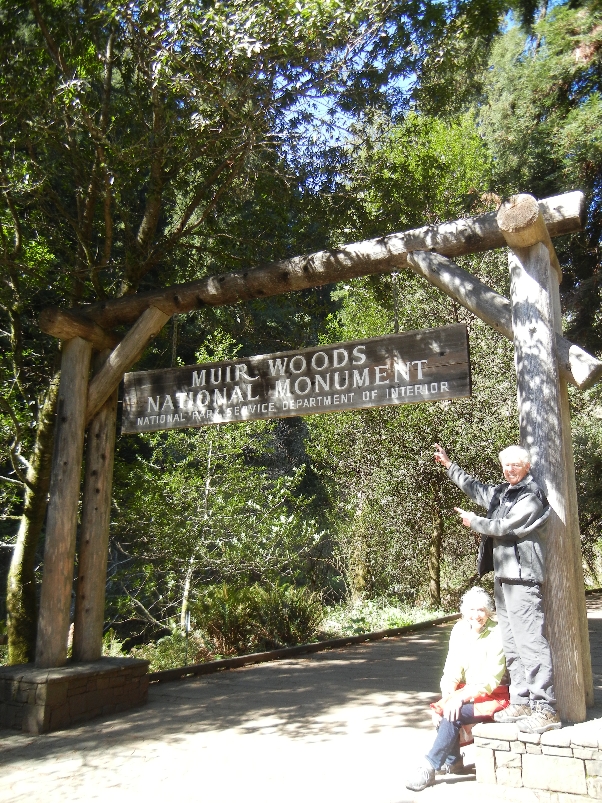
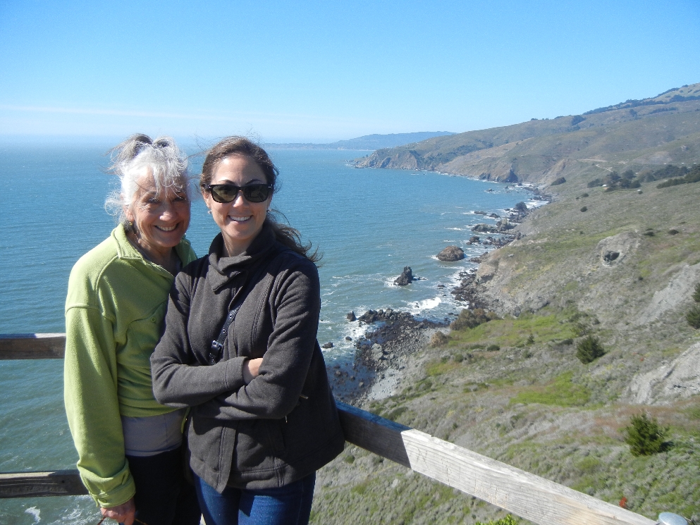
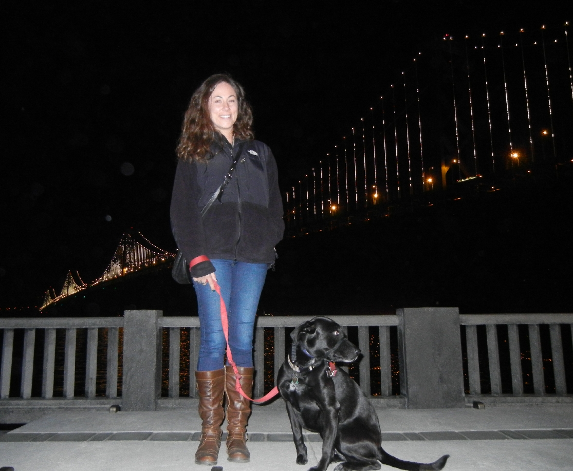
Kate and Tom
Lower and Upper Yosemite Falls

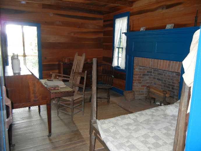
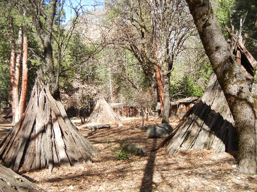
Recreated Indian Village behind Museum
Round Meeting House

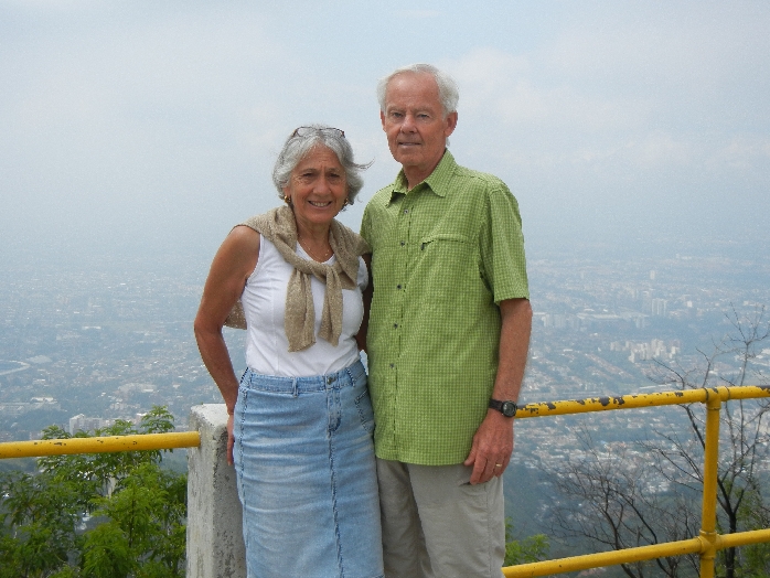
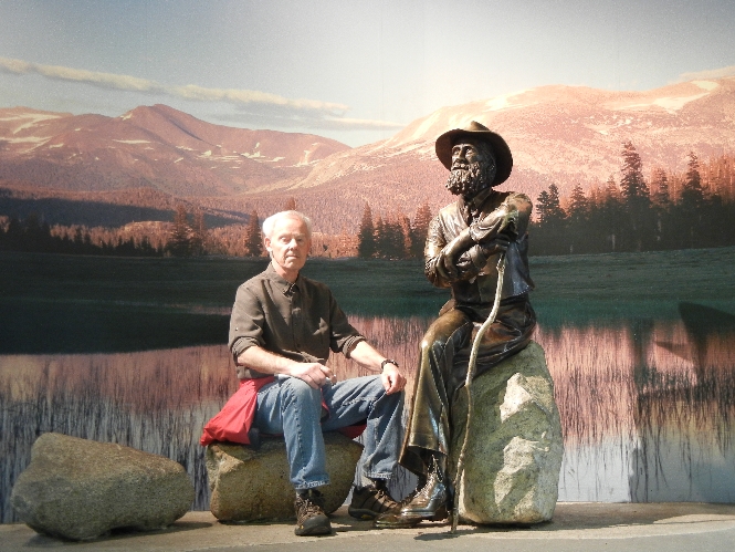
Tom & John Muir
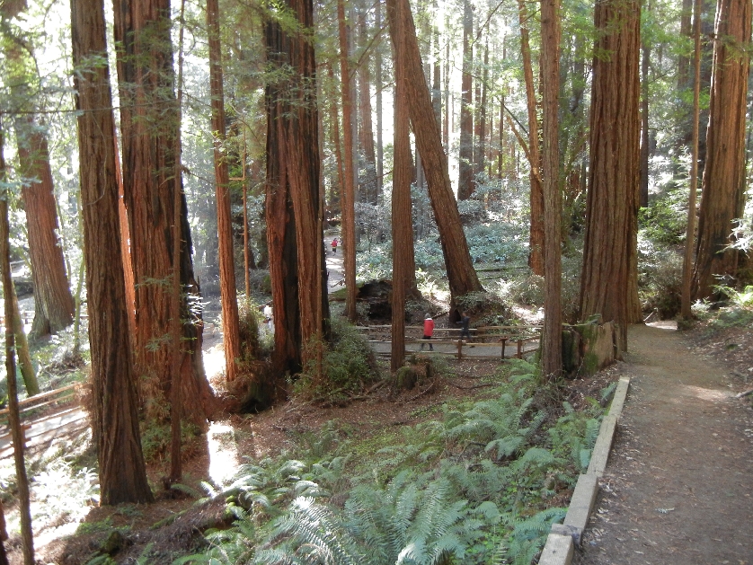
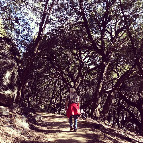
Mirror Lake 5 mile Loop Hike

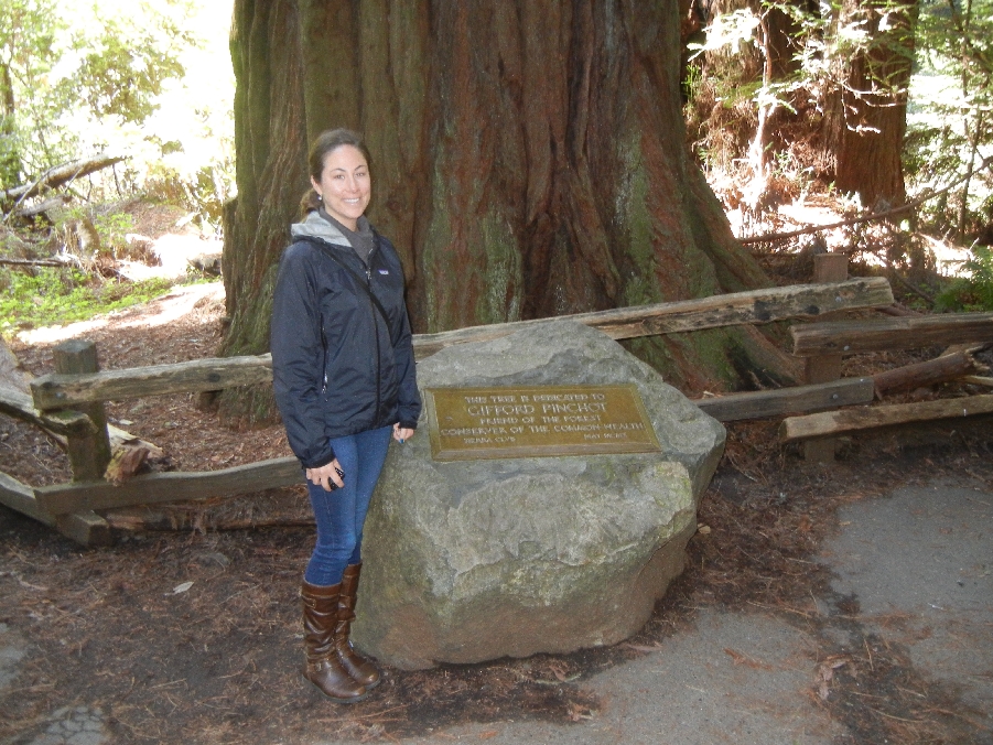
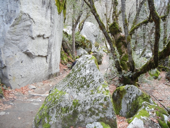
Mirror Rocks

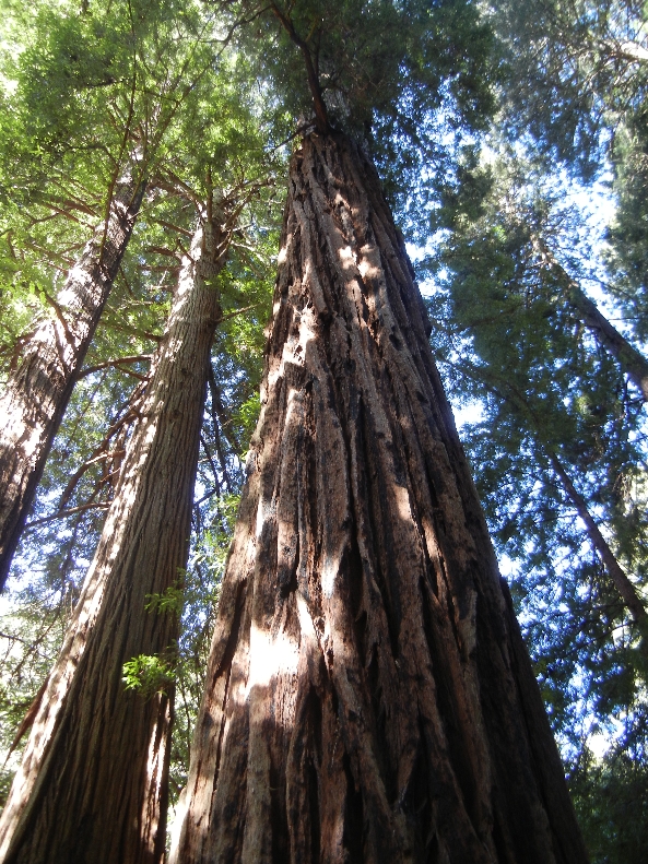
Mirror Trees


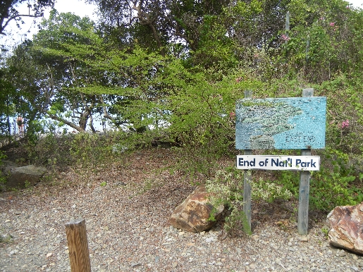
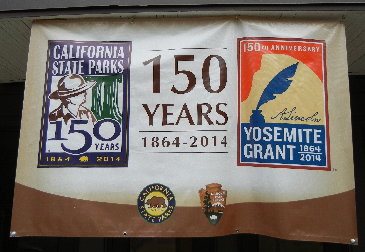
Yosemite Grant – 1st U.S. Government protected land. President Lincoln signed the bill in 1864! This was before Yellowstone was made the world’s first National Park in 1872. We had dinner in the Mountain View restaurant at the Yellowstone Lodge, went to an evening program on the geological formation of the Yosemite Valley, and then spent the night in Curry Village.
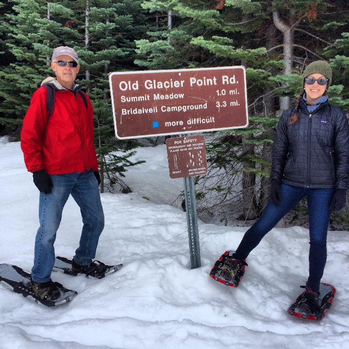
March 9 – drove to the Badger Pass Ski Area (on the road to Glacier Point) and did a snowshoe hike with Ranger Rick.
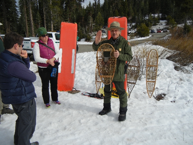


Mole and Weasel on hat and holding white Ermine

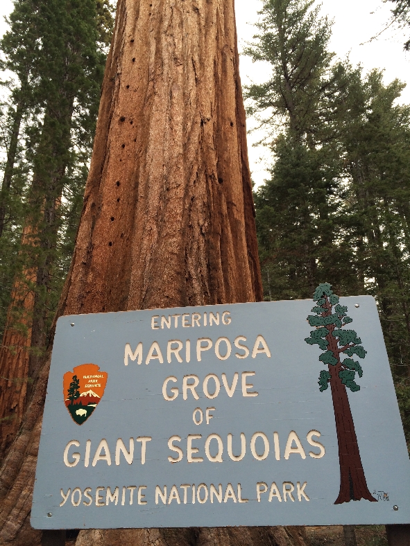
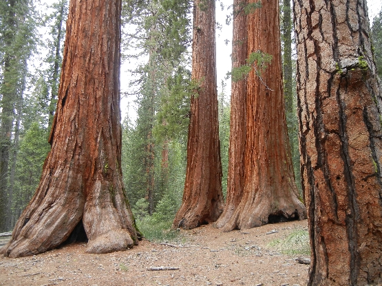
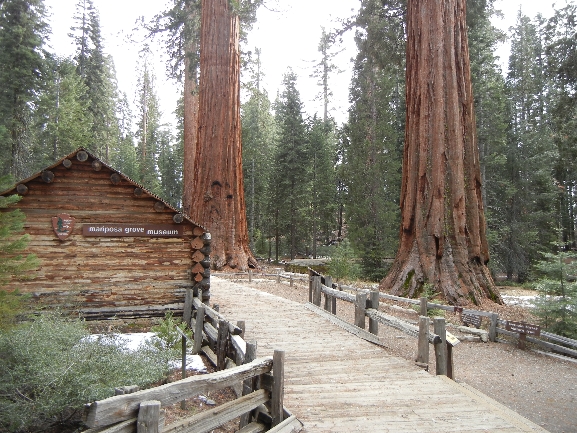
Mariposa Grove of Giant Sequoias – hiked about 5 miles round trip to Wawona Point (6,810 ft) gaining about 1200 ft in elevation.

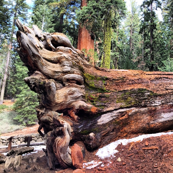
Fallen Monarch

Bachelor and Three Graces
Tree Hugger


Grizzly Giant – one of the tallest in the grove, estimated to be 1800 years old!

California Tunnel Tree

Sequoias and Snow

Fallen Tunnel Tree
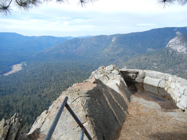
Wawona Point Vista

Museum was closed
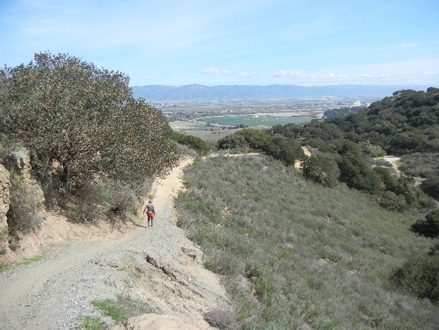
March 10 – rented a little Fiat from Enterprise and drove to Fort Ord National Monument outside of Monterey CA. President Obama designated this former Army base as a BLM National Monument in 2012. We did a 2 mile hike in the eastern part of the park.


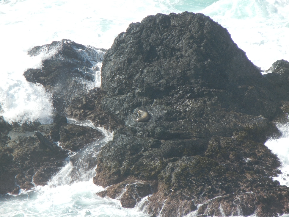
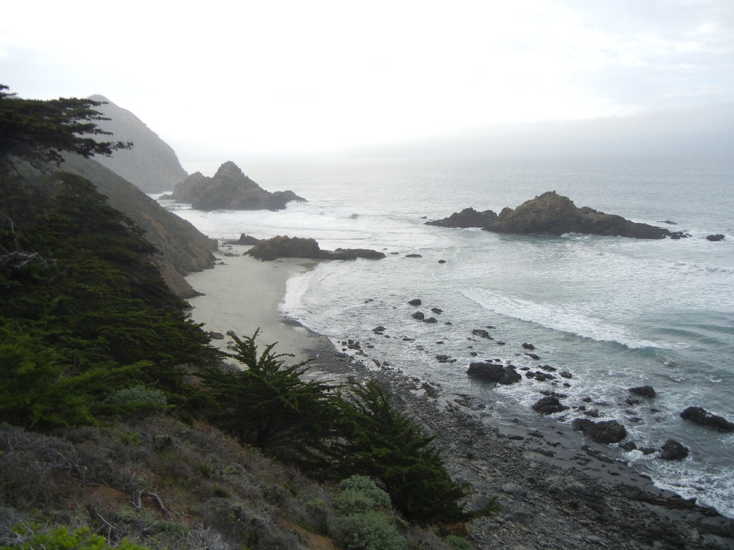
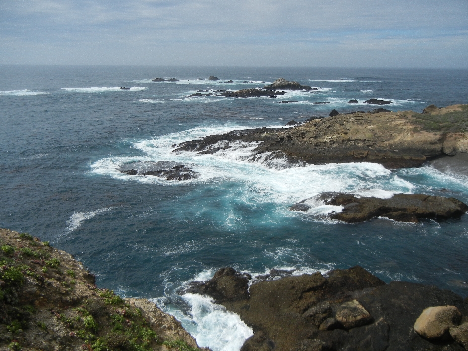
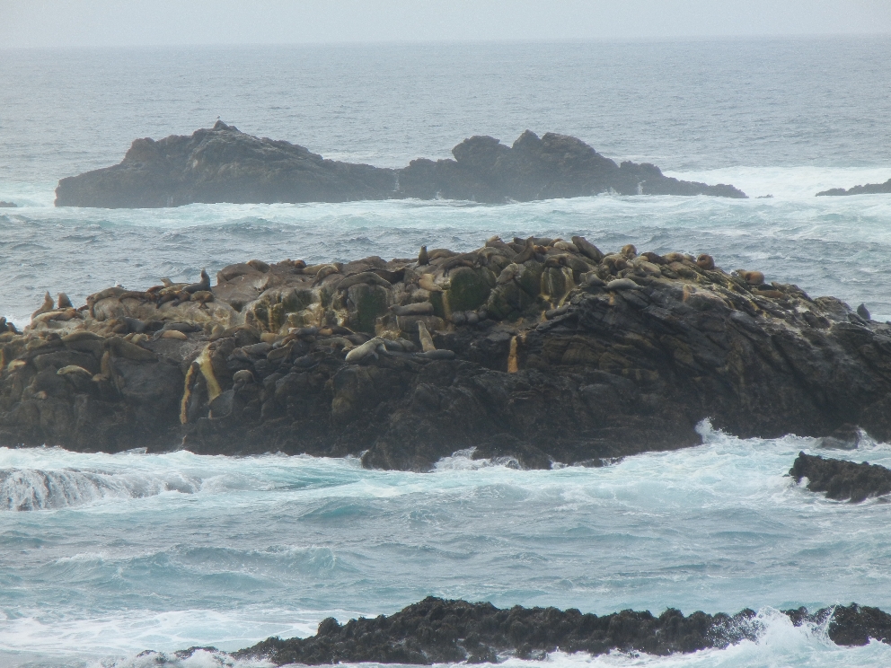
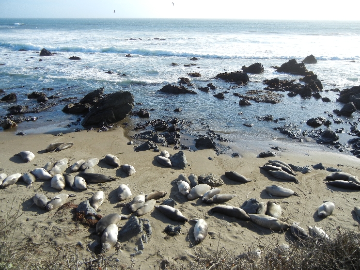
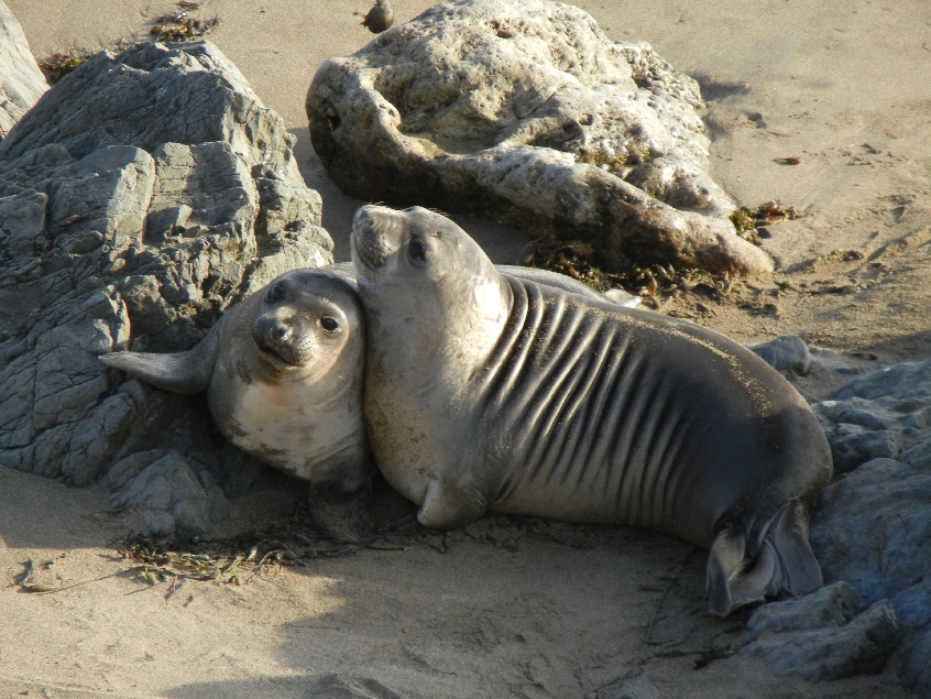
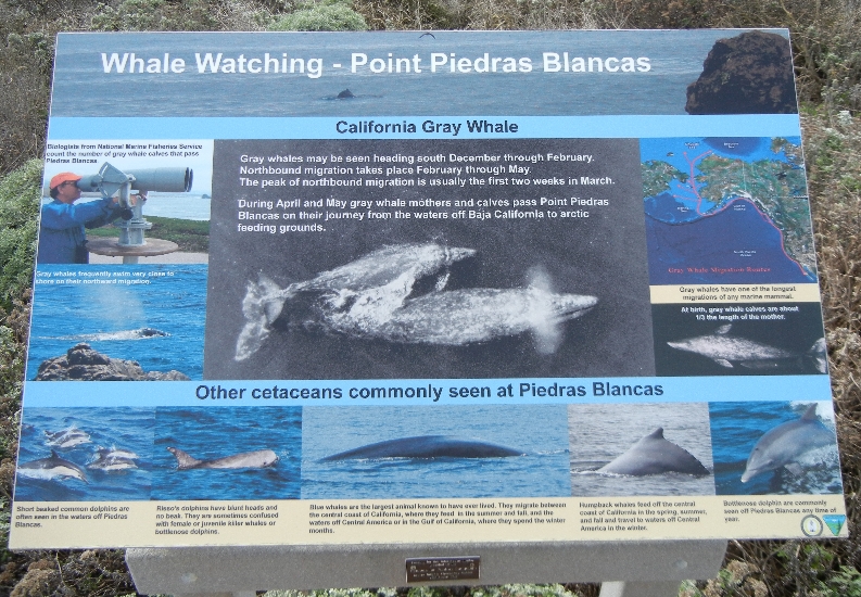
Drove south on route 1 to Point Piedras Blancas Light Station. The beaches just south of there were covered with Elephant Seals.


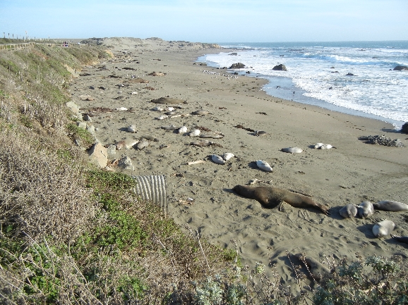
Mostly elephant seal pups

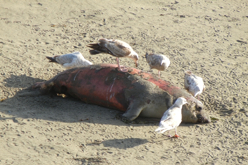
Dead Pup – hundreds don’t make it, though the total population is up to 20,000
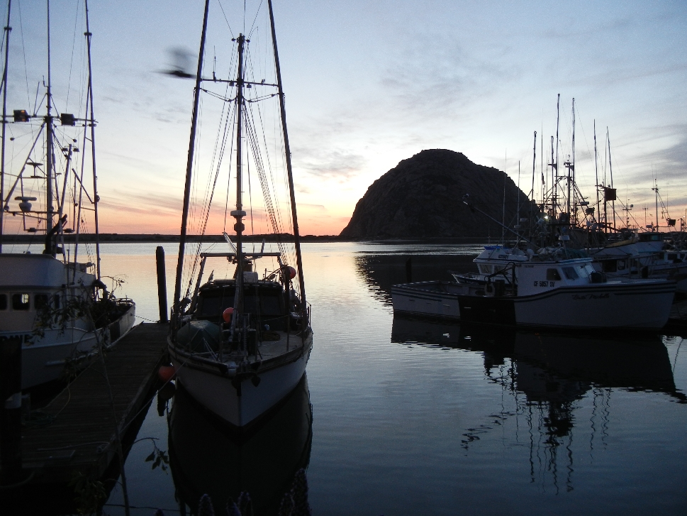
Approaching Morro Rock and Morro Bay CA

Morro Bay harbor
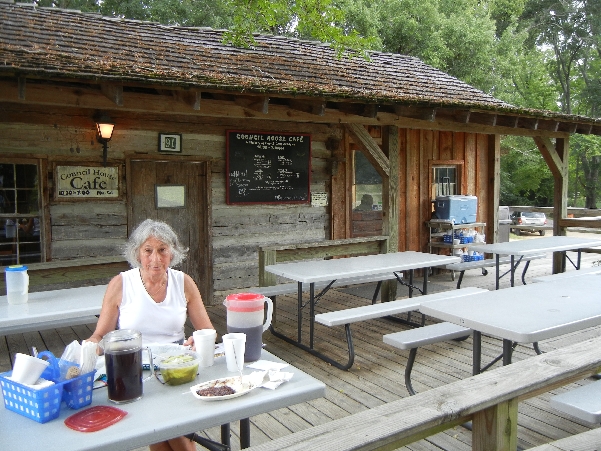
Soupfin Shark, Calamari and Shrimp Special first night and Rockfish Special for dinner the next day
March 11 8am – Drove to Morro Rock

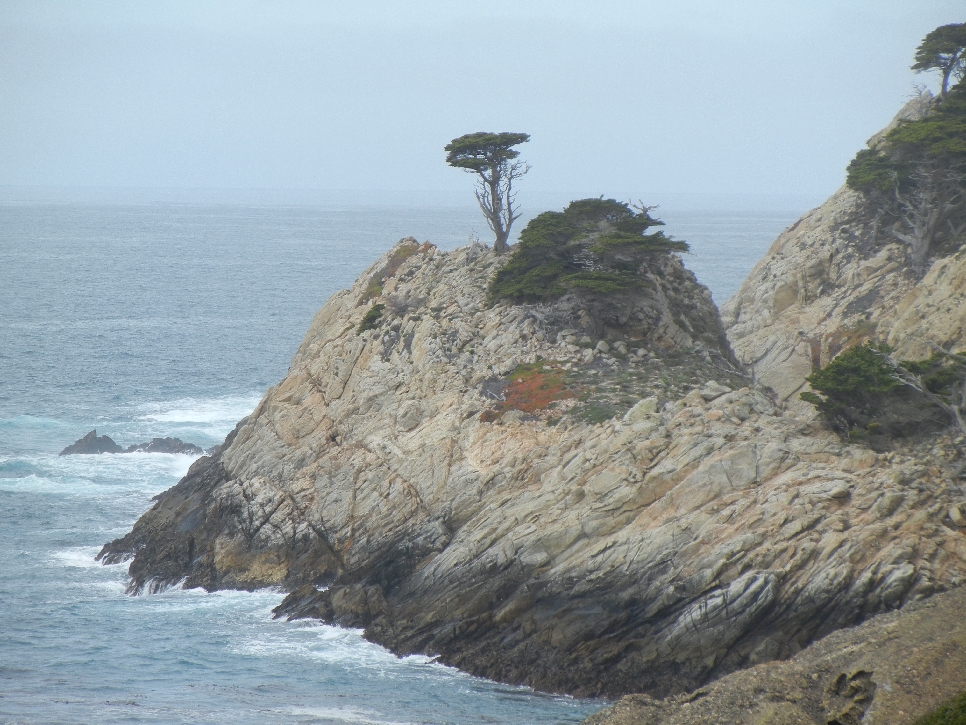
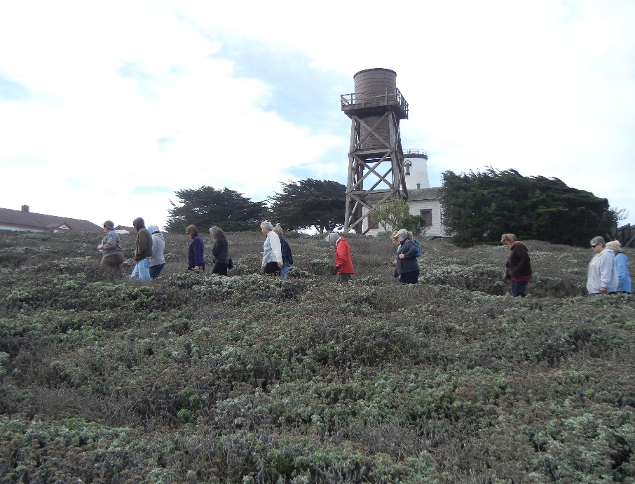
Then drove to the entrance to Piedras Blancas Light Station. Our little Fiat rental – unsafe at any speed!

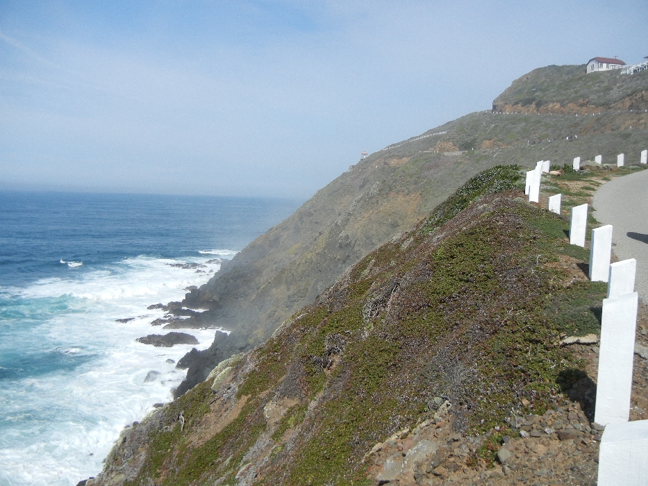
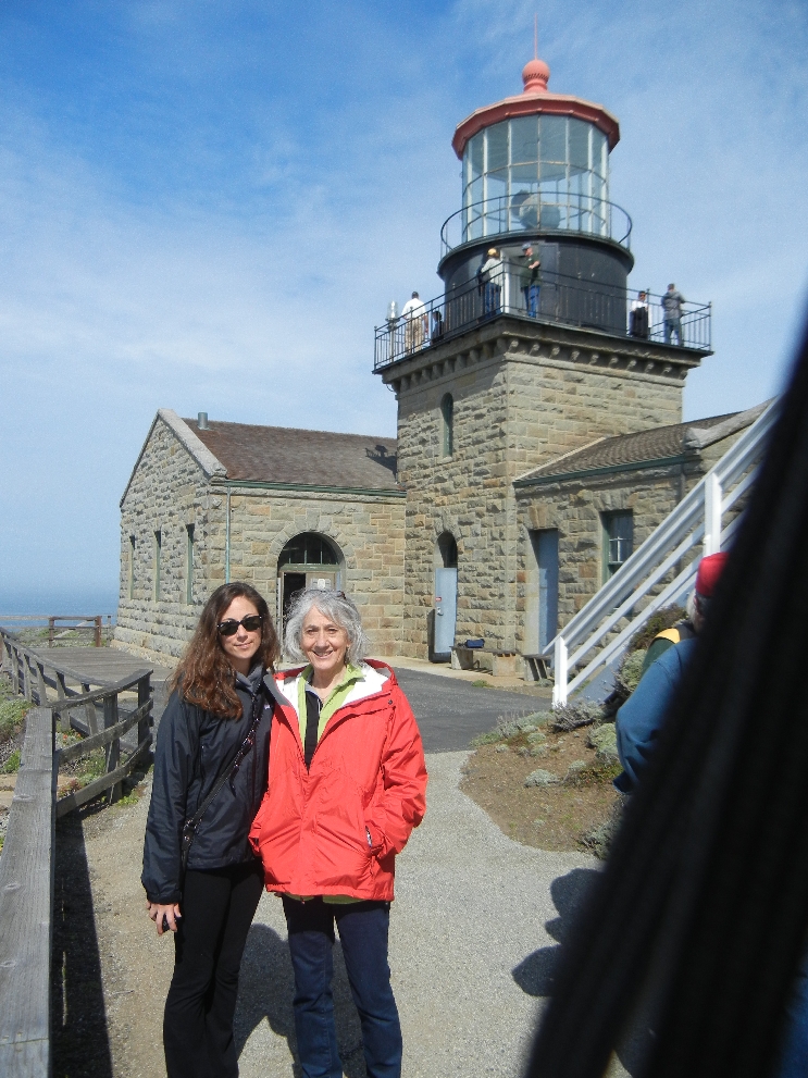
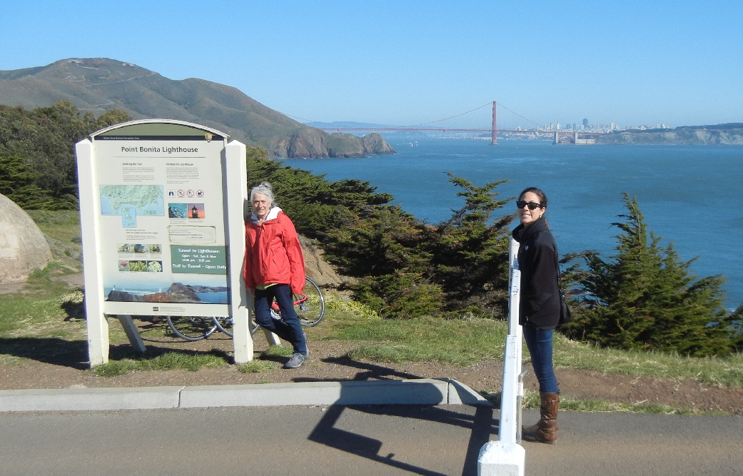
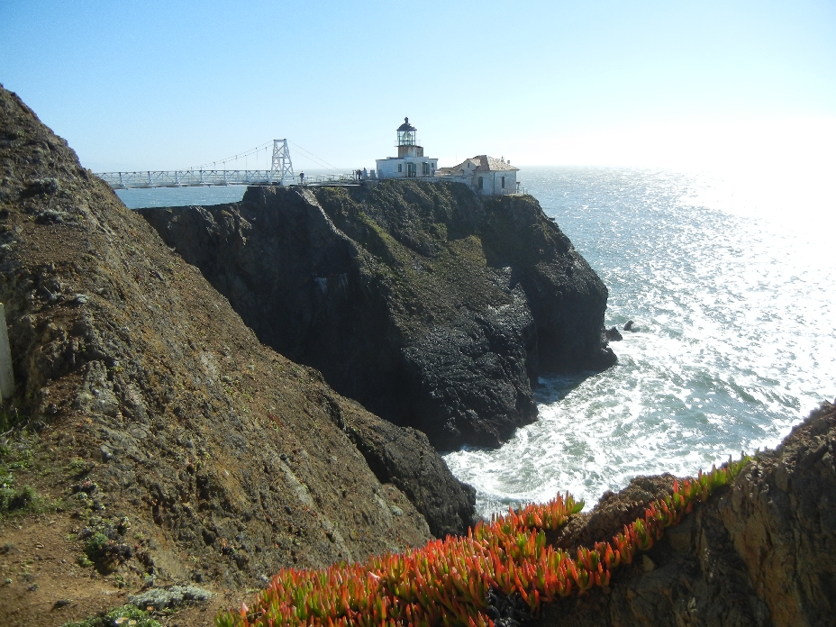
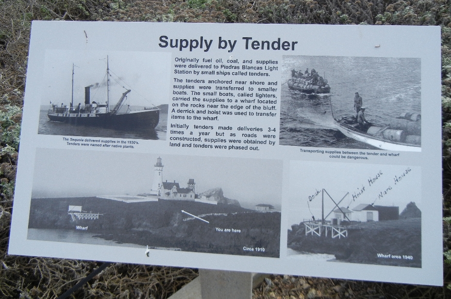
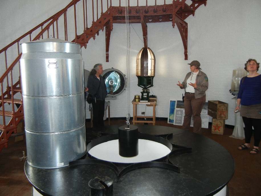
We did a two hour tour of the Light Station with a BLM Ranger
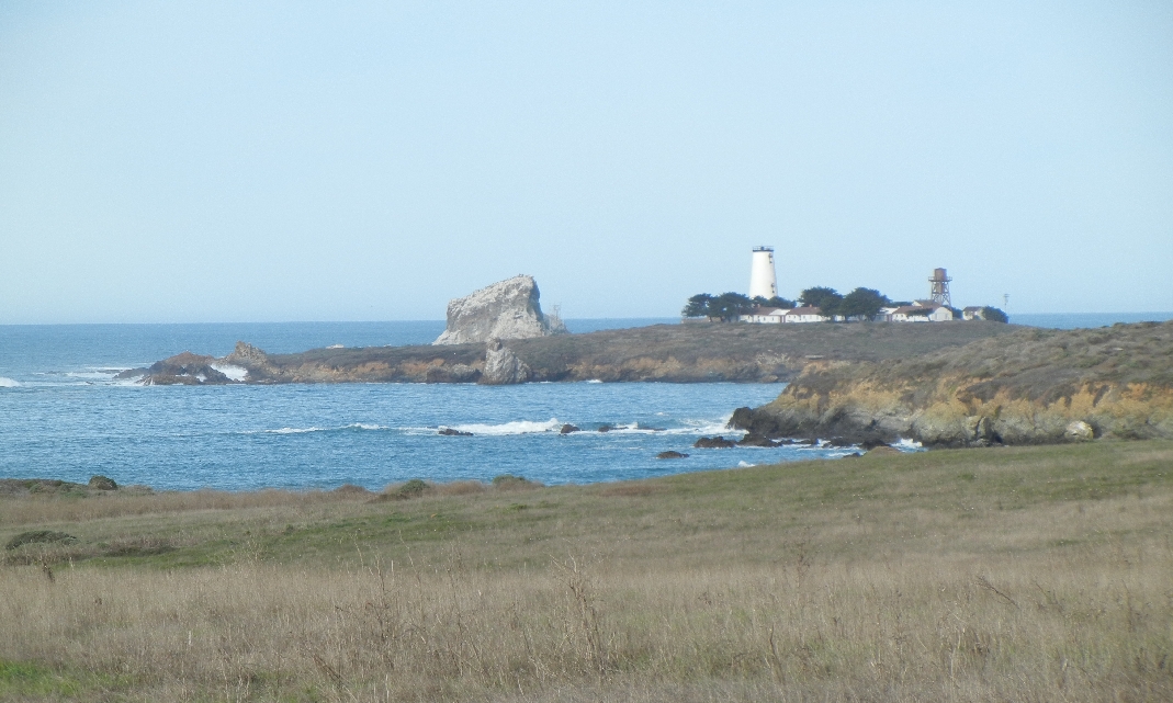
These tours are offered at 9:45am three days a week during the off-season. The top of the light station was removed and can be seen in Cambria CA just down route 1.


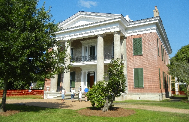
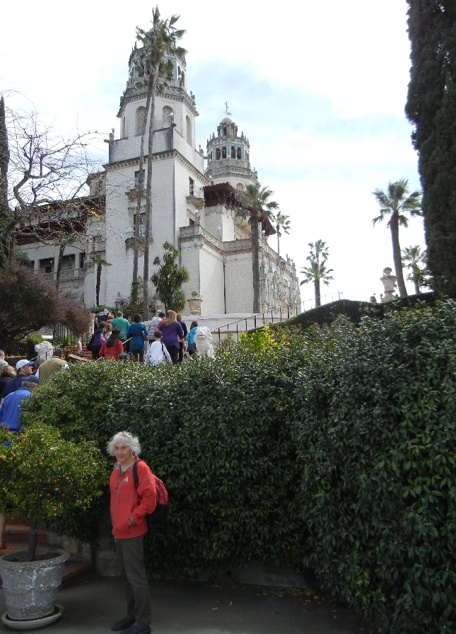
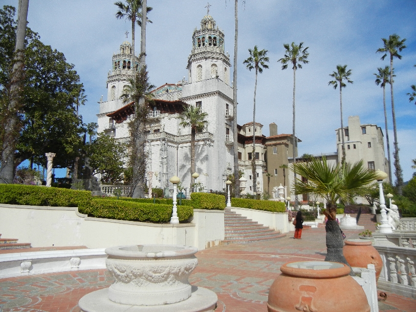
Hearst Castle, San Simeon CA – “The Enchanted Hill”

Start of our tours – after being bused to the castle
William Randolph Hearst was noted for his Newspaper Empire and eclectic tastes –

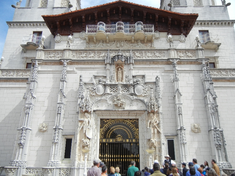
Front of Casa Grande modeled after a Spanish church
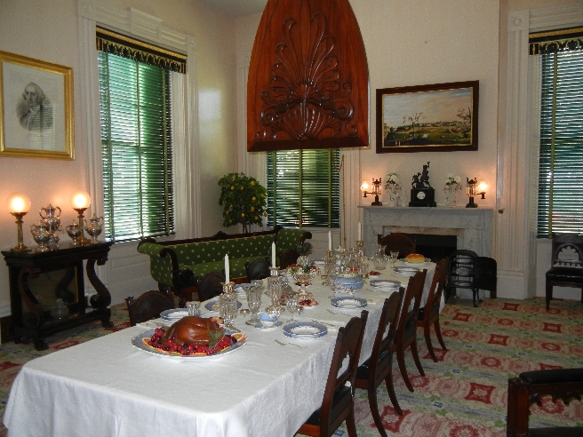
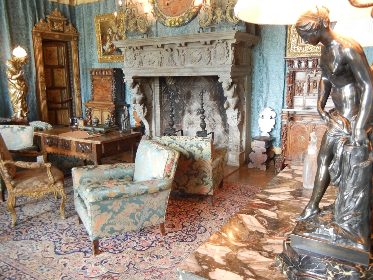
The Assembly Room was the first stop on the Grand Rooms Tour

Refectory

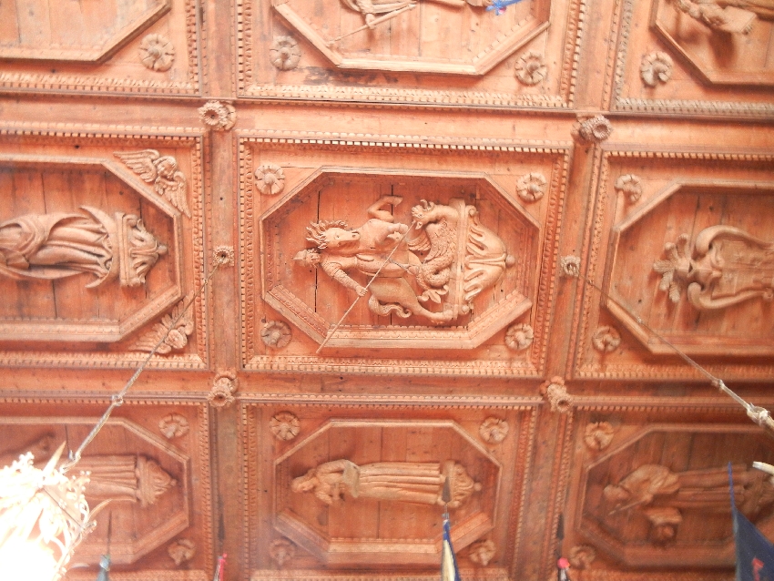
Amazing ceilings!
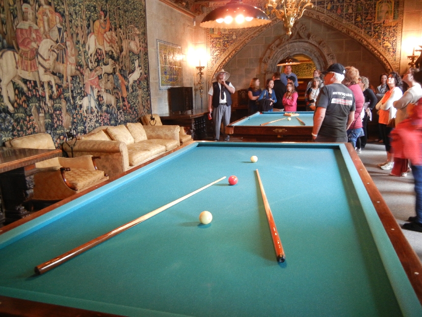
Billiard Room – billiards and pocket pool
The Upstairs Suites Tour – started with the Doge’s Suite


Library

Meeting Room – office in back
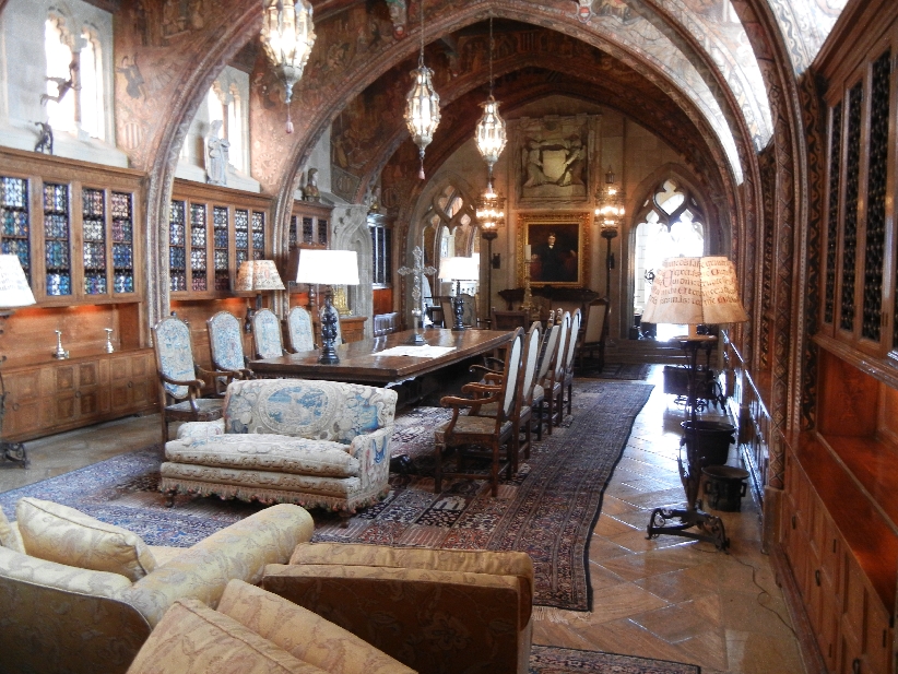
One of numerous bedroom suites

We then did a Self Tour of the grounds

Overlooking Pacific Ocean

Neptune Pool


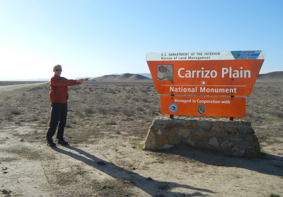
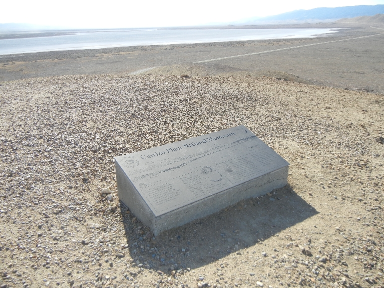
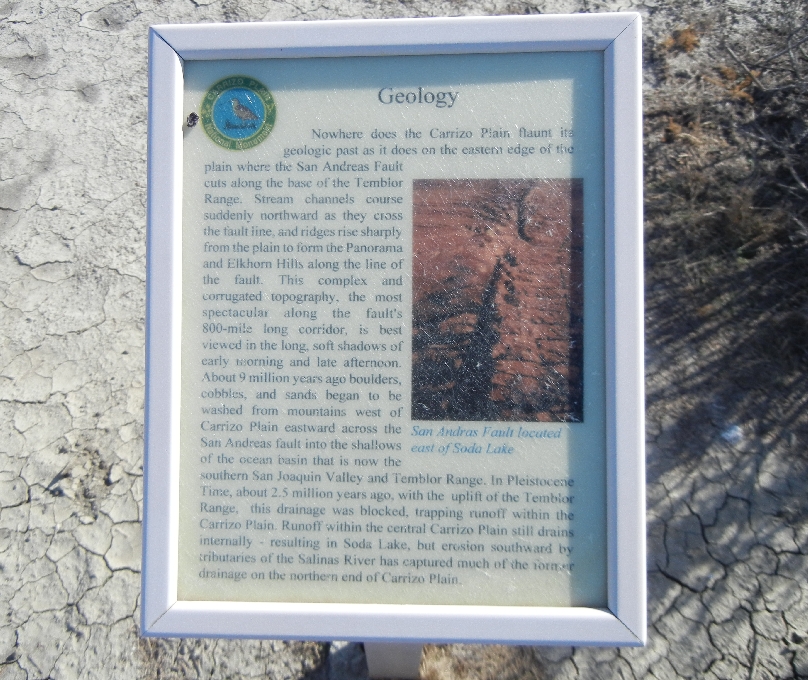
March 12 – Carrizo Plain National Monument
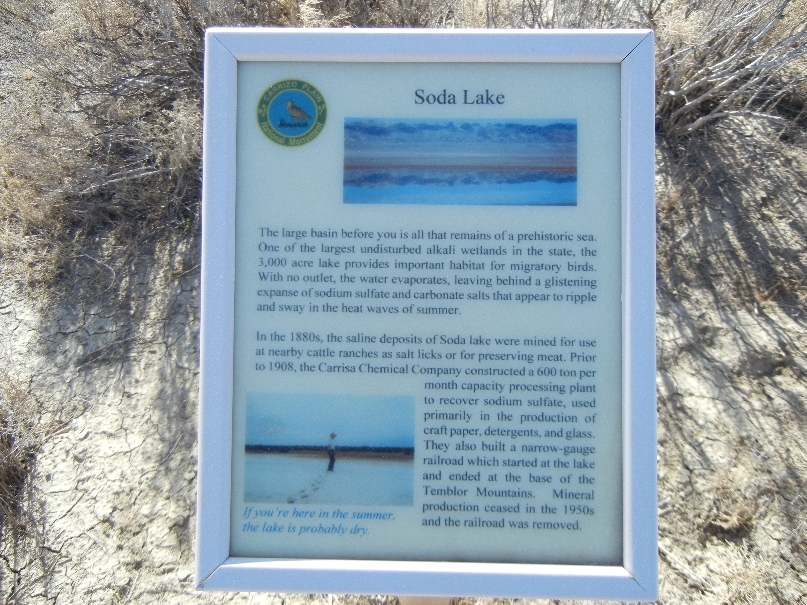
Looks like water in Soda Lake

View from Soda Lake Overlook Hill
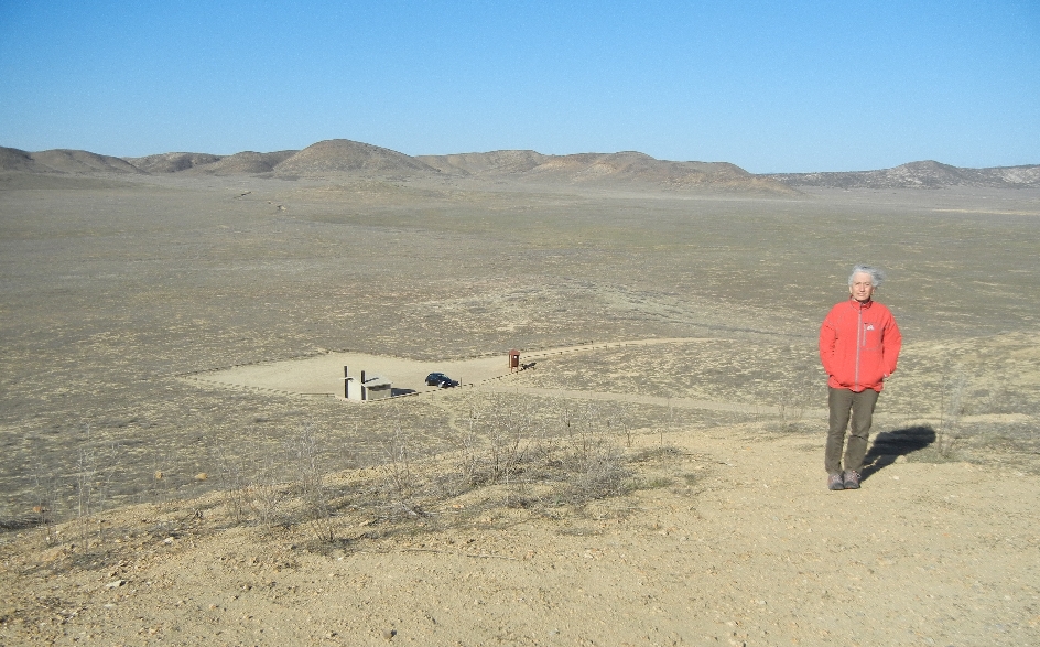
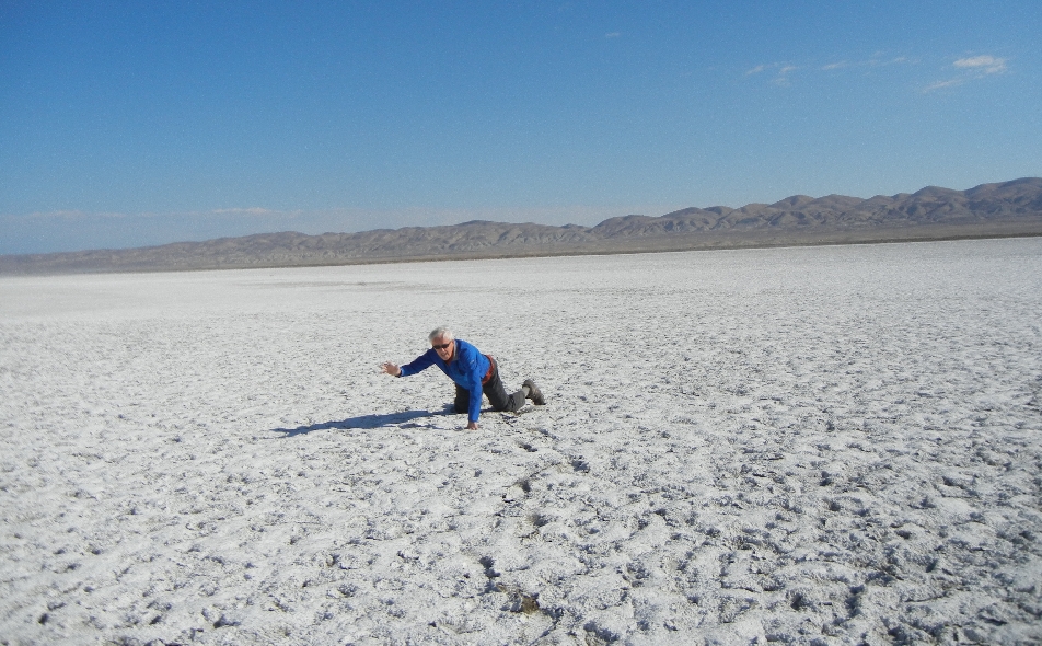
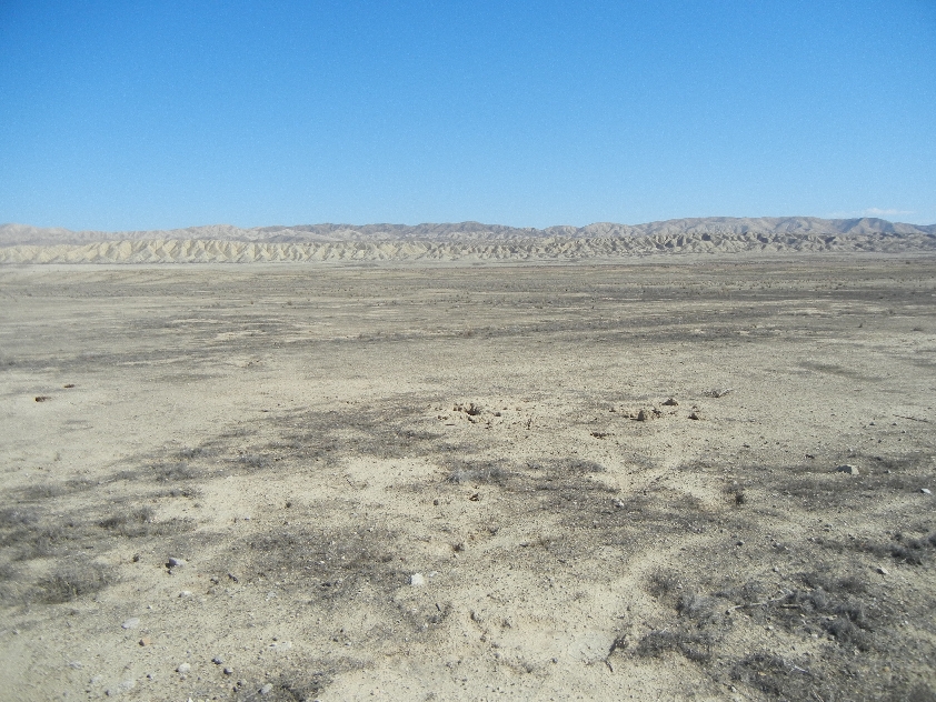
No Water at this time – just a salt encrusted basin (CA has received only 0.3 of it’s normal rainfall this winter)

“Salt” Storm – blowing from Soda Lake

Cover your face!

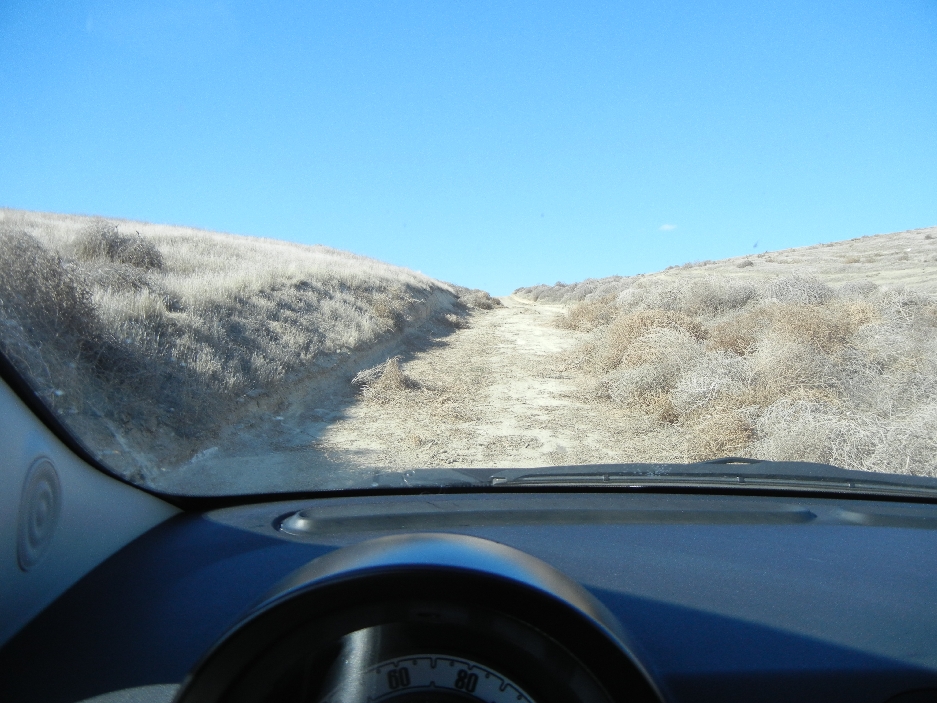
Driving across Carrizo Plain – not possible when it rains

Approaching Temblor Range


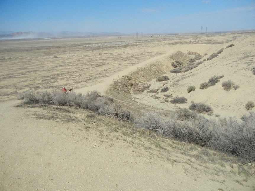
Wallace Creek Trail – hiked about 2 miles

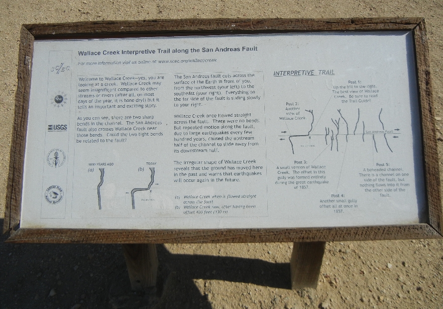
Hiking along the San Andreas Fault
Very Windy!


Earthquake Sensor
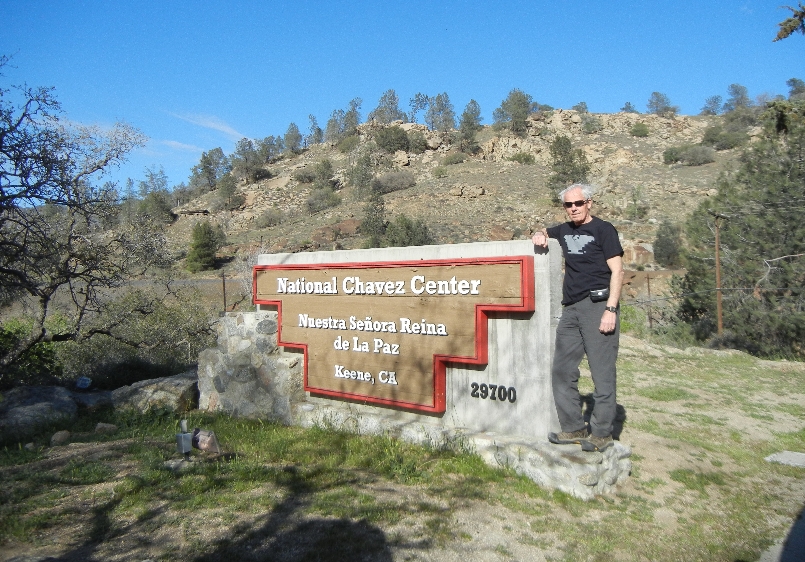
Cesar Chavez National Monument – Declared a national monument by President Obama in 2012. It commemorates the struggles and accomplishments of the farm worker movement. The graphic on my T-shirt is the symbol of the movement, strikes and boycotts to establish the country’s first permanent agricultural union.
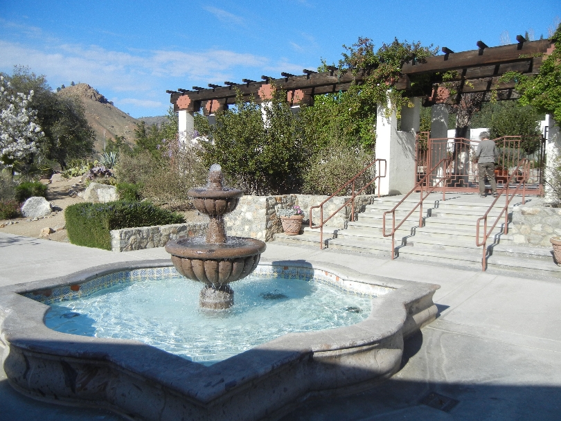
Re-creation of Chavez’s office and a migrant worker’s room in Visitor Center


Memorial Garden


1927 – 1993 (66) – note rosary on headstone
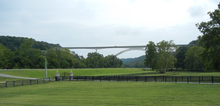
Tehachapi Loop – one of the 12 Railroad Wonders of the World
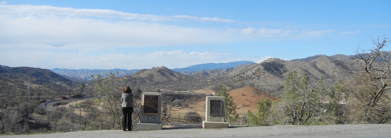
A long train can pass the end of it’s own cars as it circles around the loops


March 13 – Drove from our motel in Tehachapi to the south end of Carrizo Plain NM and entered by way of the Elkhorn Grade Road


South entrance on Soda Lake Road

Erosion Gully

Former Traver Ranch

Temblor Mountain Range across plain
Goodwin Visitor Center

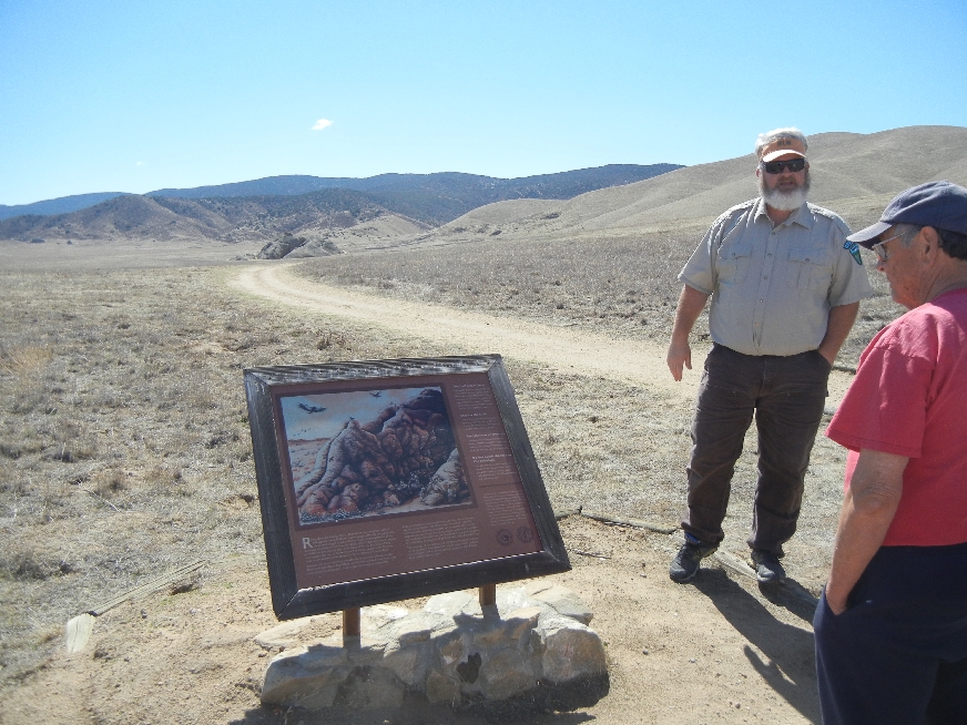
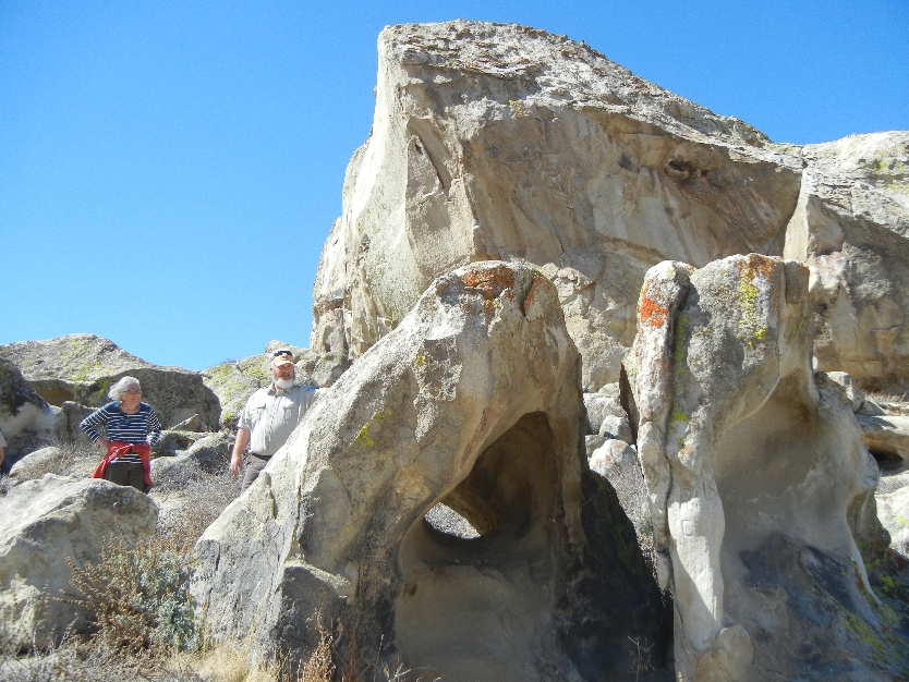
Arranged for special permit tour of Painted Rock with Ranger Ryan
Caliente Mountains in background
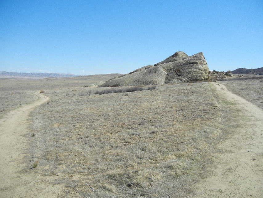
About 1.5 mile round trip hike

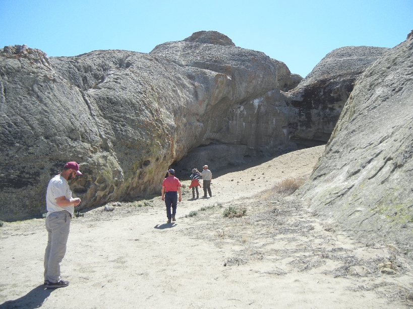
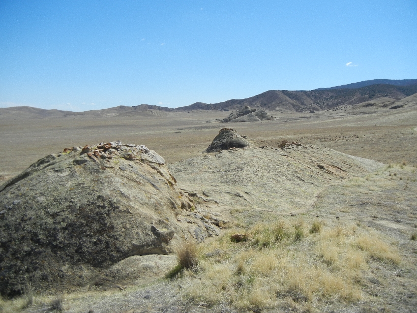
Remains of Chumash Indian rock art can be seen many places on rocks


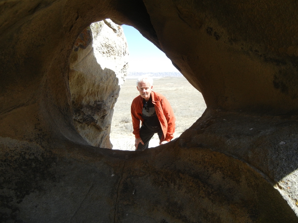
Looking out from Painted Rock

South outside of rocks

Rattlesnake – watch your step!

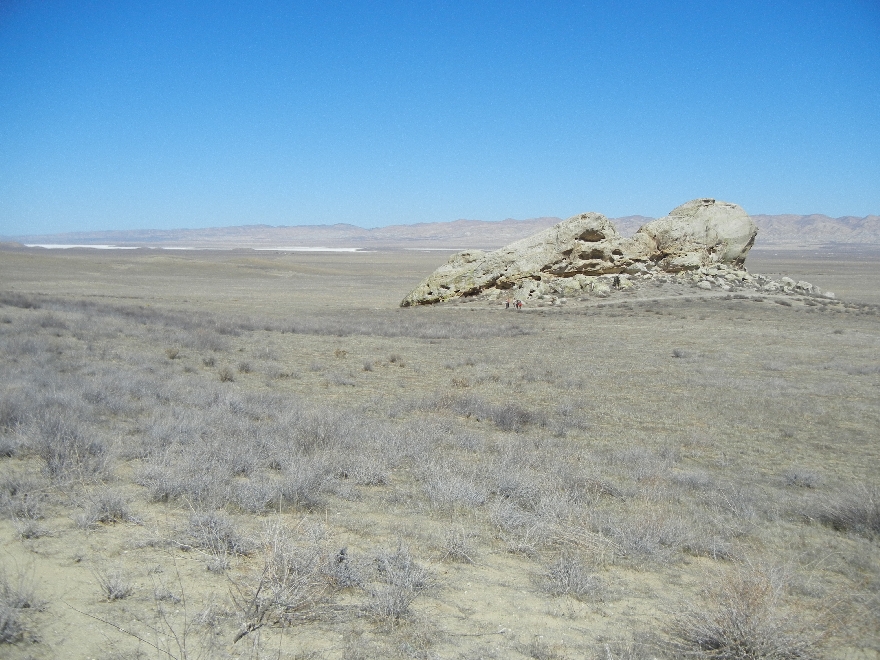
View from Southwest
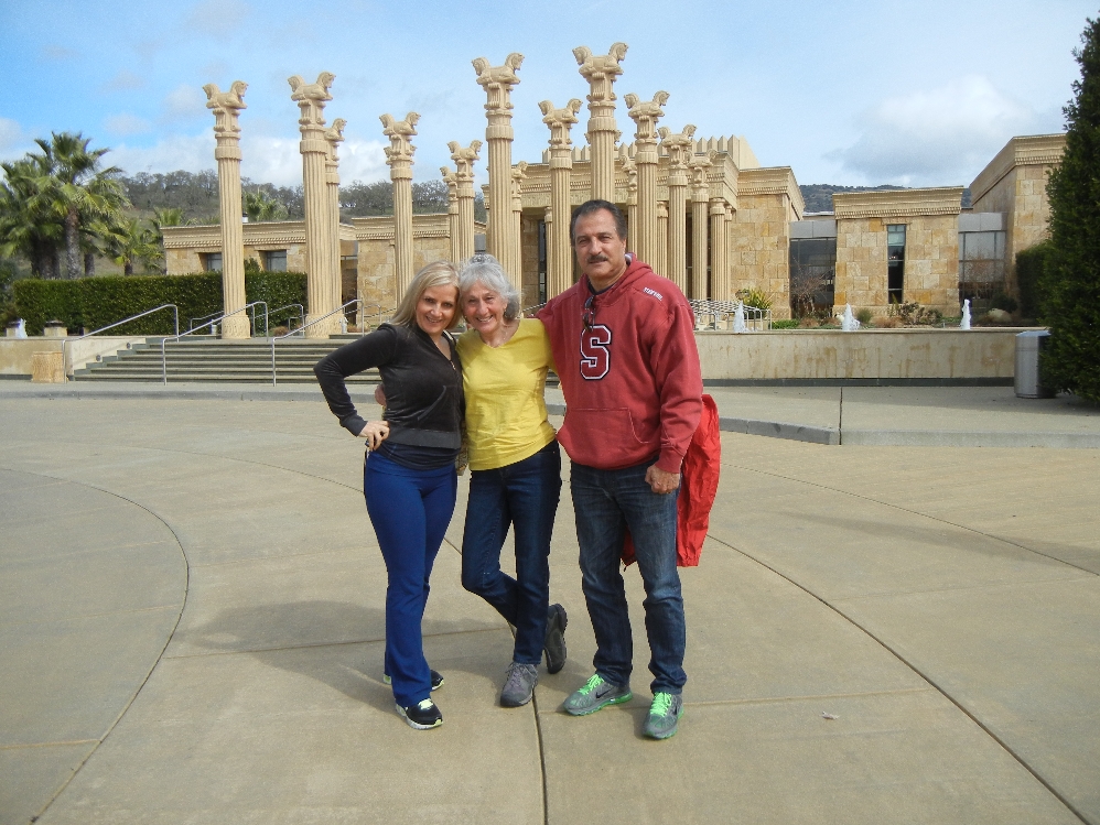
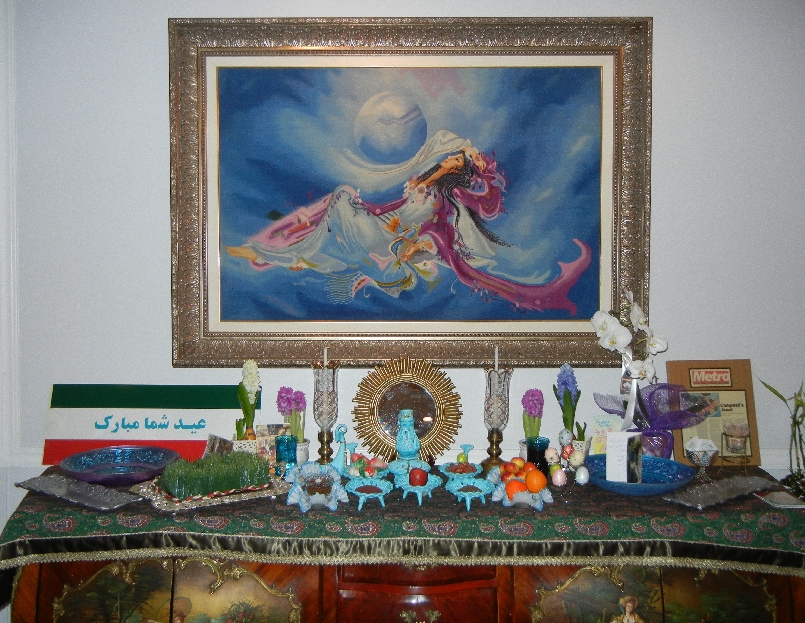
Amir, Helen, Afsaneh, Tom at Negeen Persian restaurant in Campbell CA

Buffet top arranged for Persian New Year – “Nowruz”
March 14 – Kate off to work
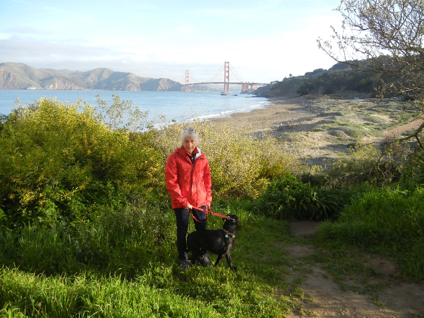
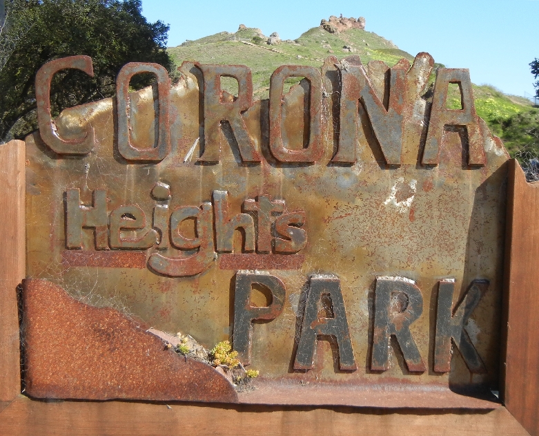
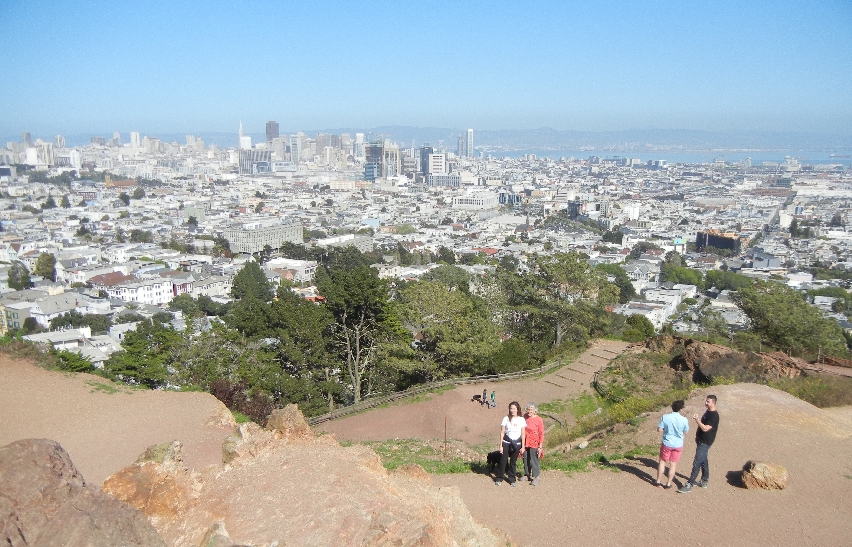
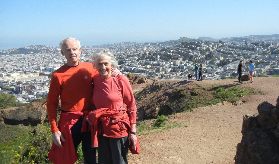
Hiked to Corona Heights in afternoon with Casey for a good view of San Francisco

March 15 – drove to Tomales Bay about an hour north of San Francisco for a picnic

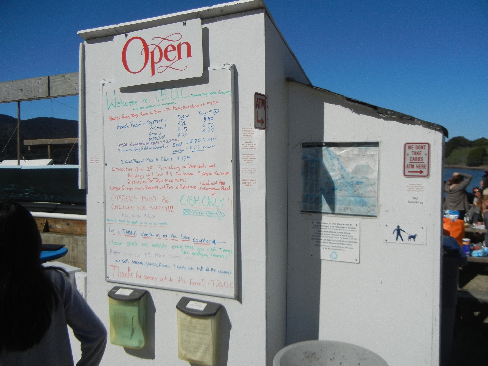
Tomales Bay Oyster Company
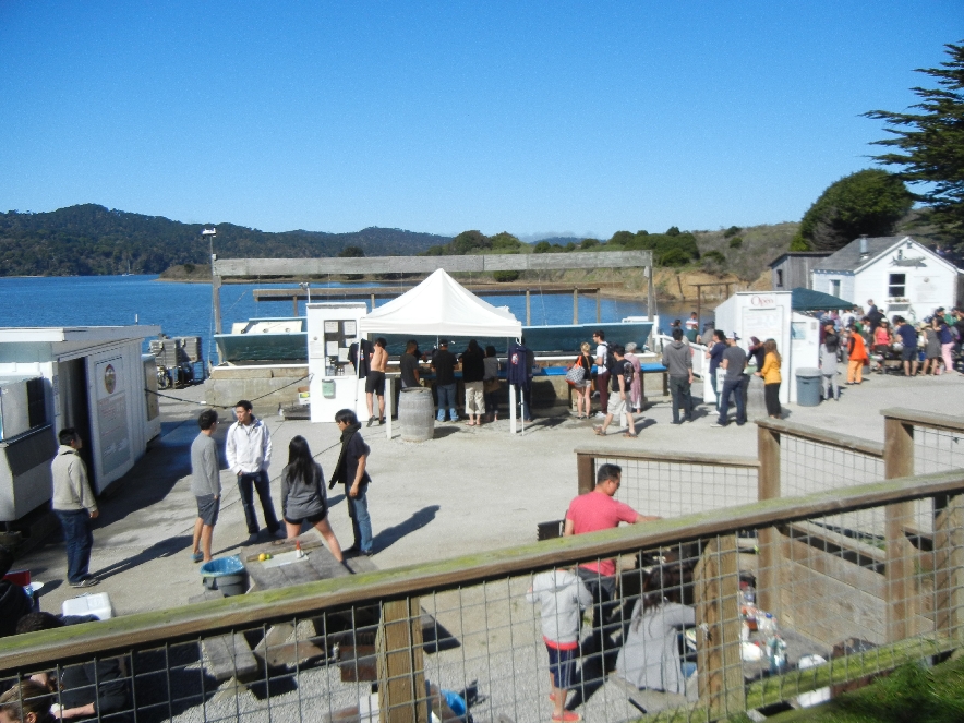
Bought a dozen Tomales Bay Medium Gold Oysters, a bag of Clams and rented a “shucker” knife
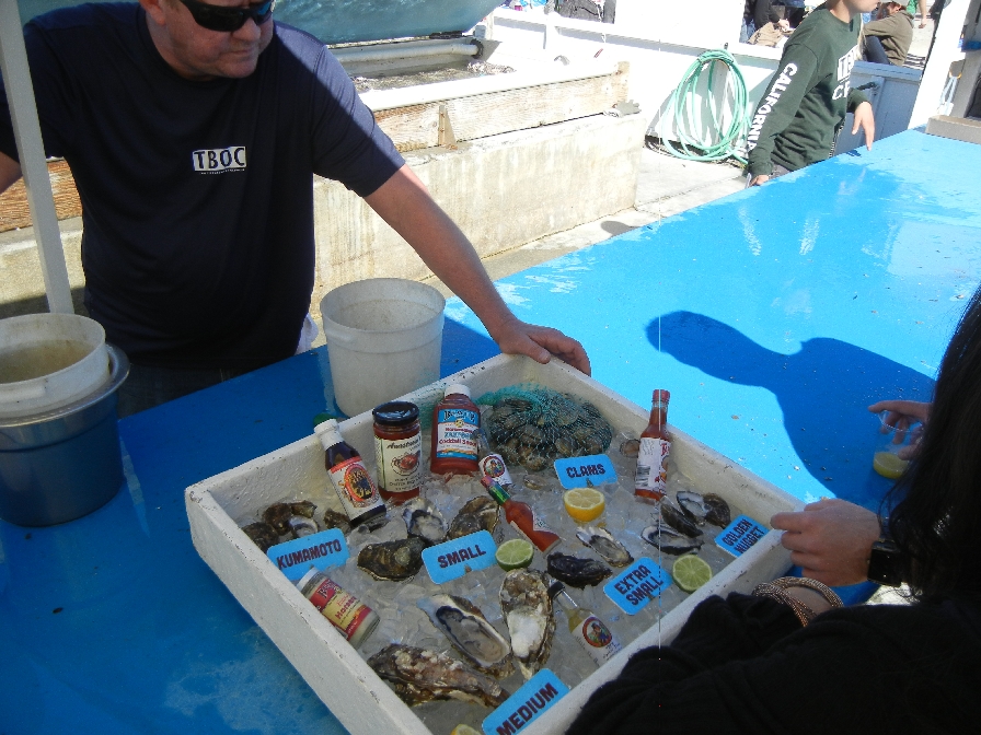

It was about noon and we were lucky to get one of the last picnic table/grills available. We shared the table with Josh and Marrisa who came about twenty minutes later and discovered none were available.
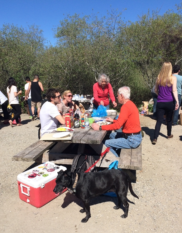
The first oysters and clams were eaten raw
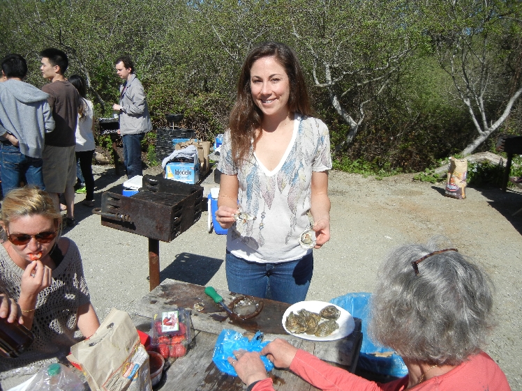
Then Helen and Kate did their magic on the grill
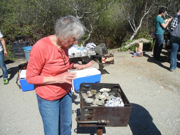
All the ingredients for Oysters Rockefeller, potato salad, mango salsa, etc. where prepared the night before

Delicious!!


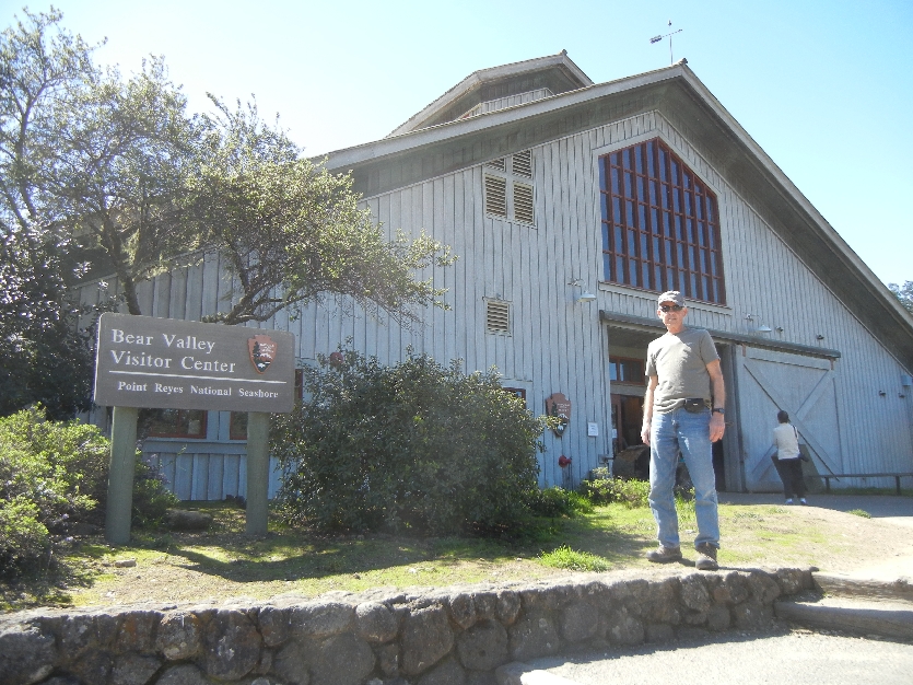
After filling our bellies, we had a short drive to Point Reyes National Seashore

We did an enjoyable 2 mile stroll along the beach
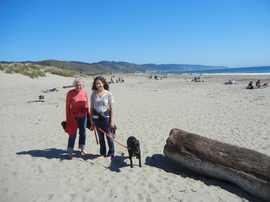
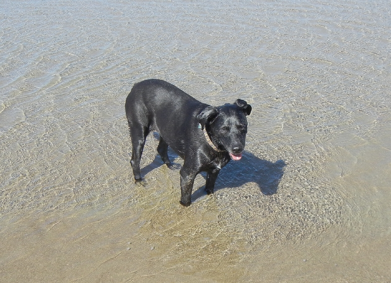
Casey loves the water!

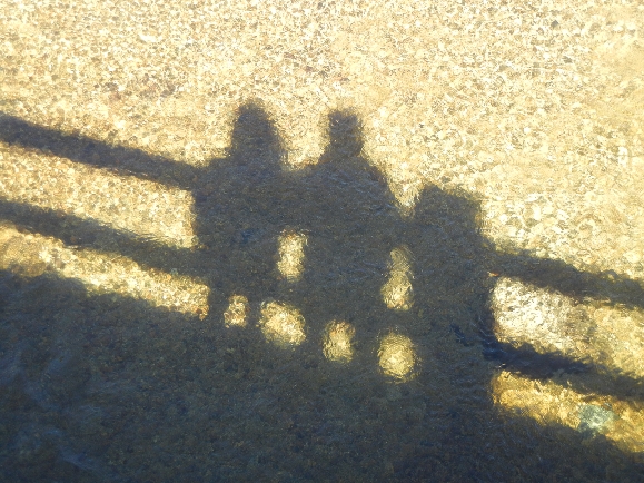
Tidal pool where she pushed sand around with her nose –
It was a tiring day! Kate and Casey slept while we watched the final episode of Downton Abby