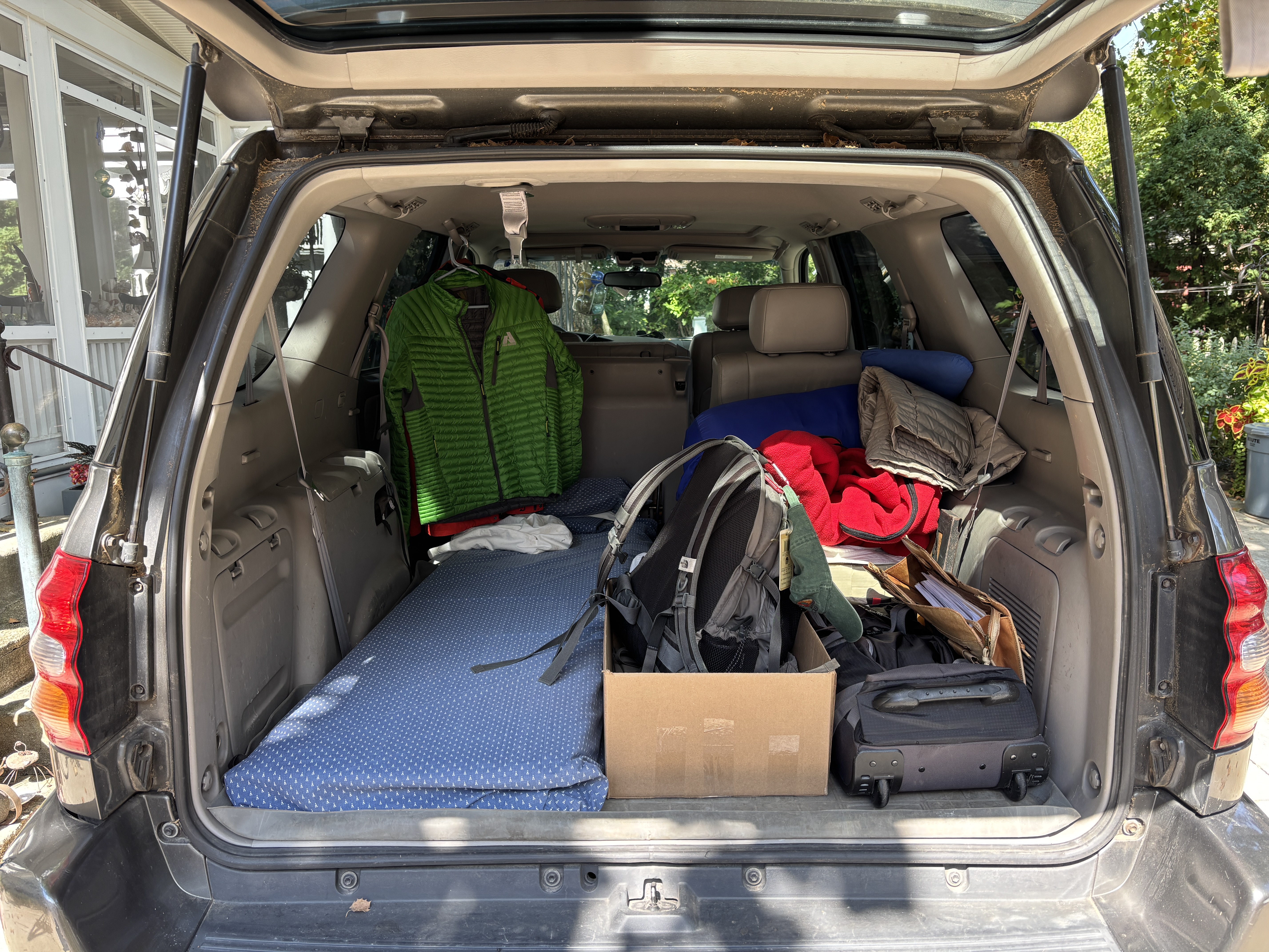
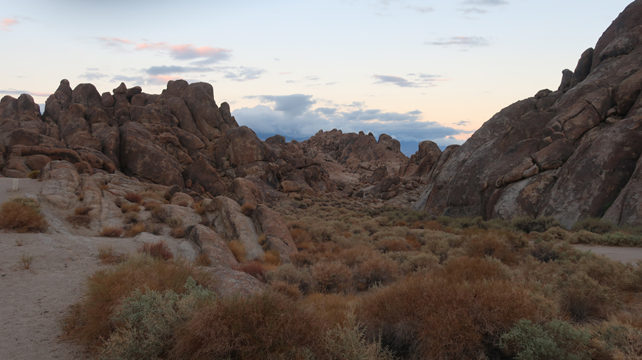
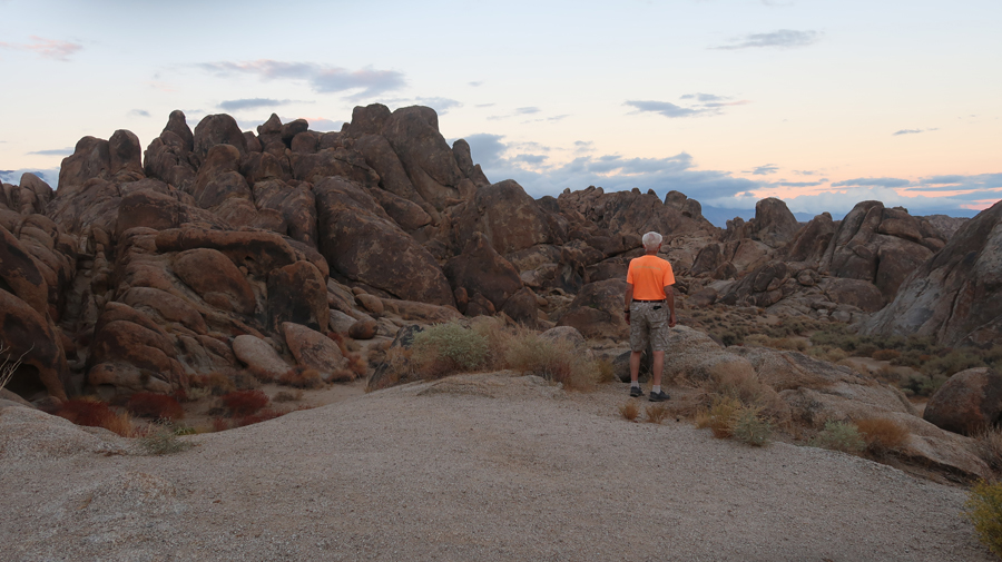
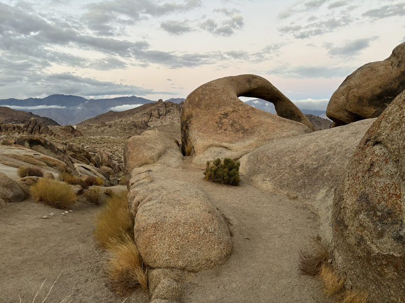
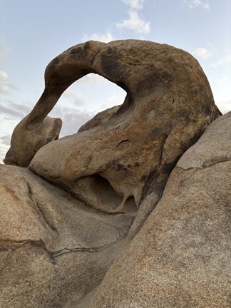
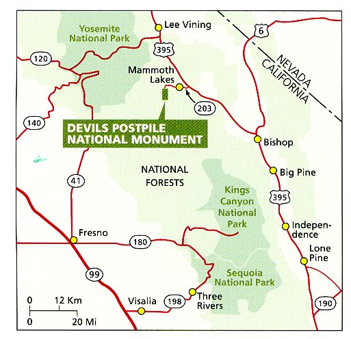
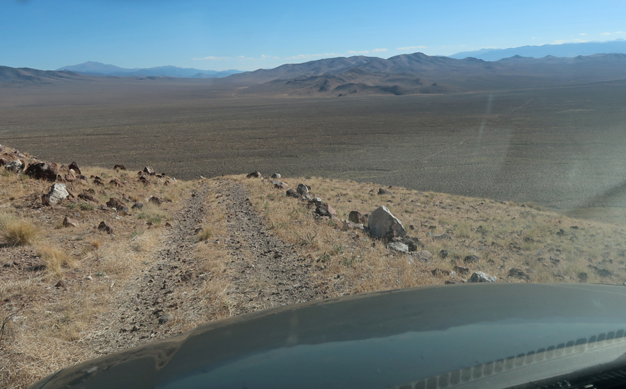
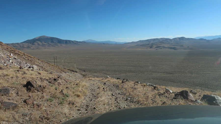
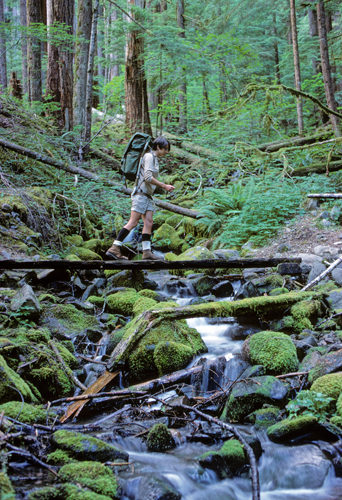
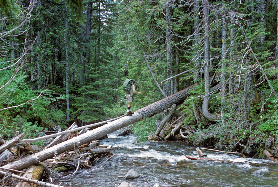
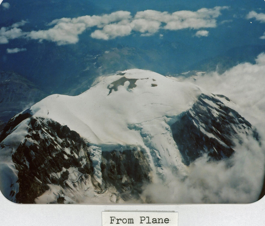
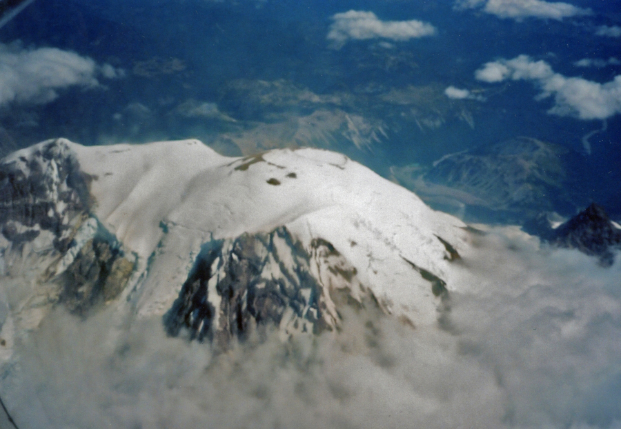
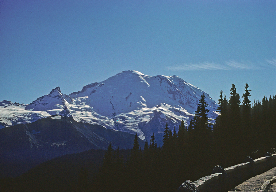
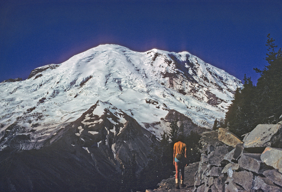
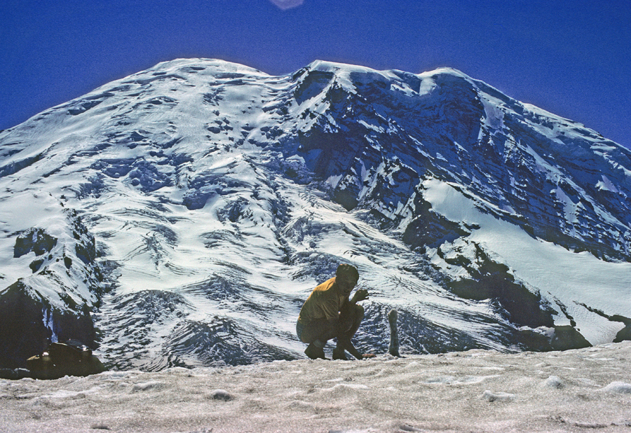
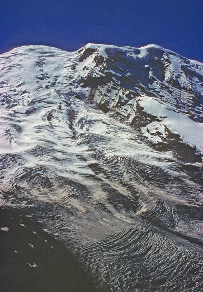
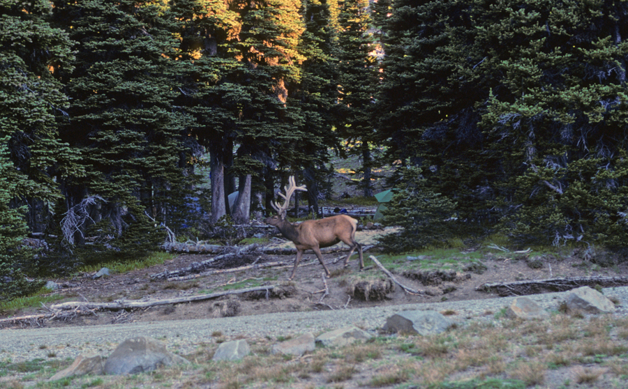
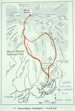
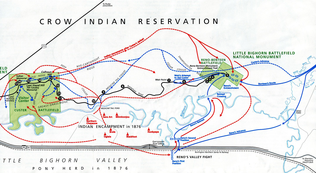
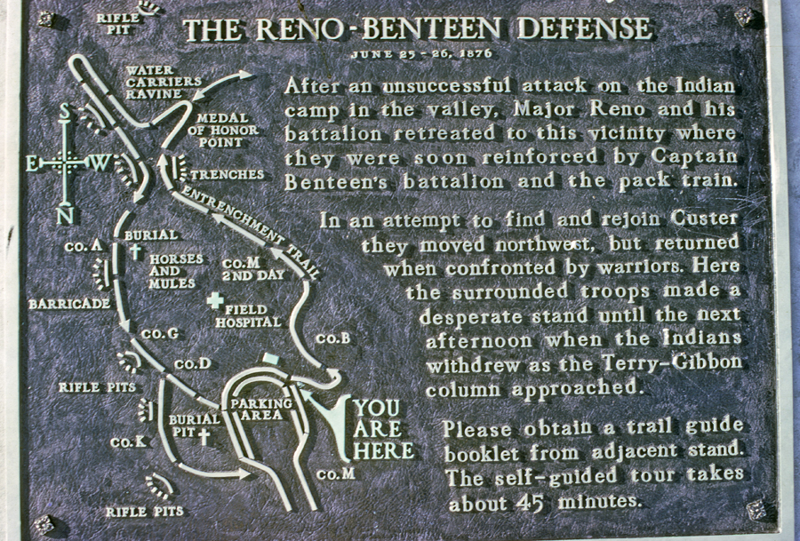
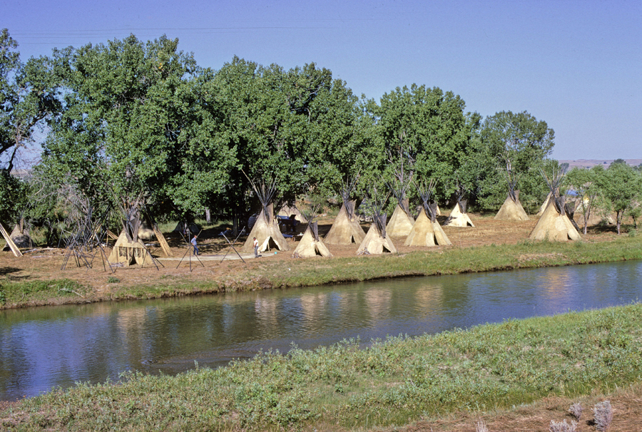
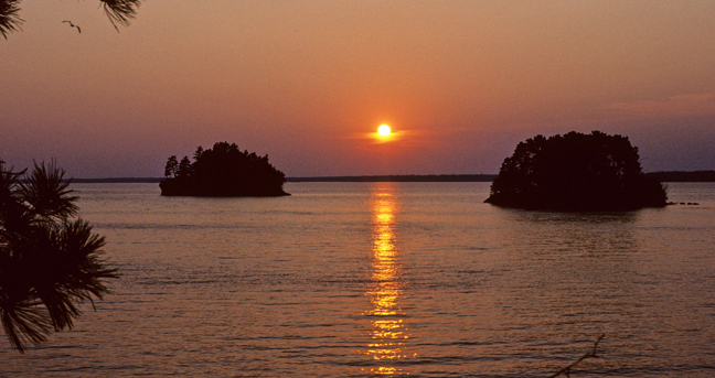
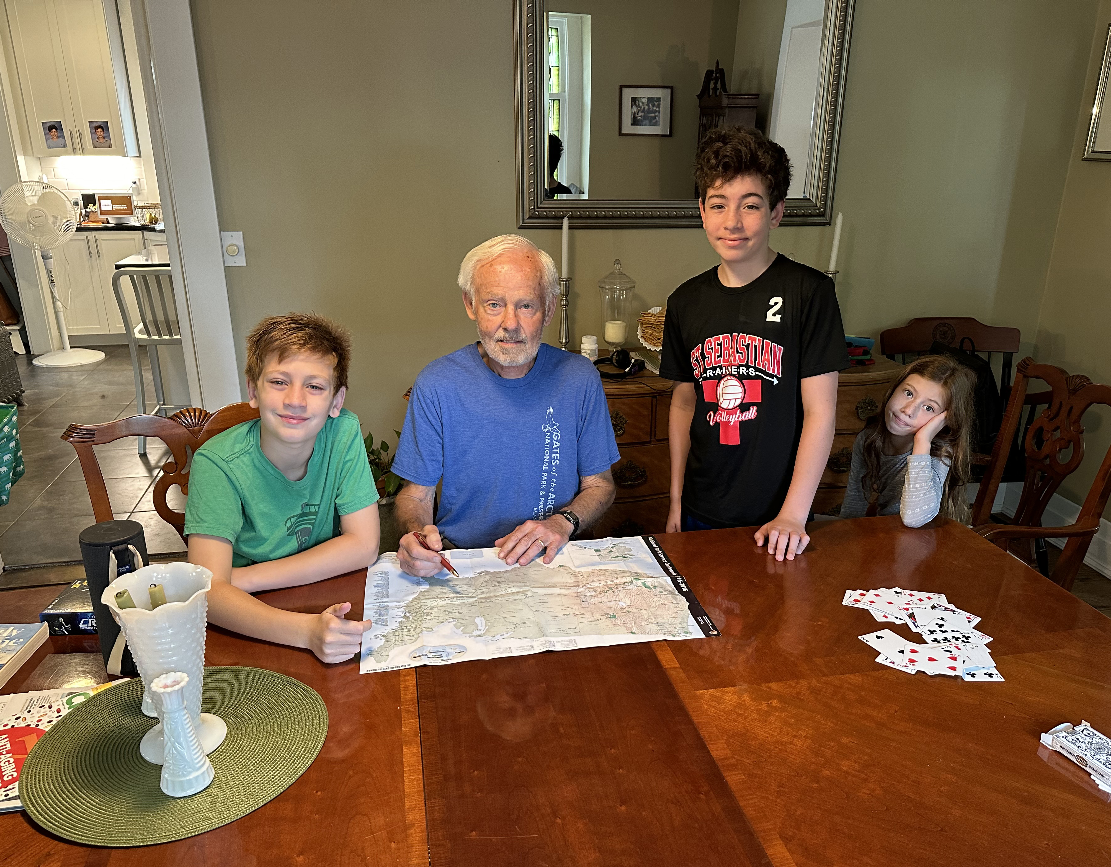
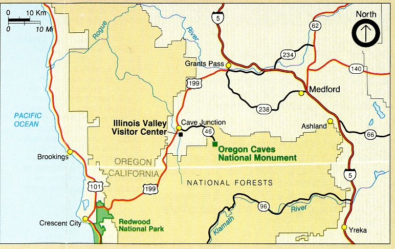
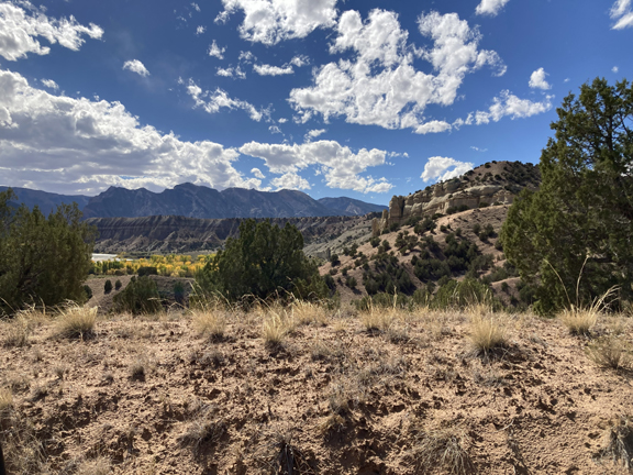
9/29 M – 5.5hrs (300mi) from Kate to Oregon Caves National Monument and PRES.
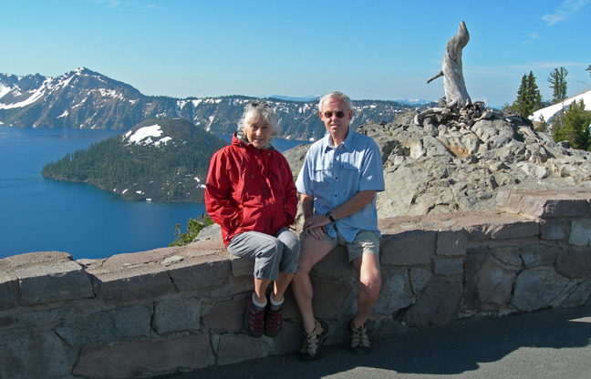
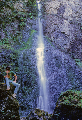
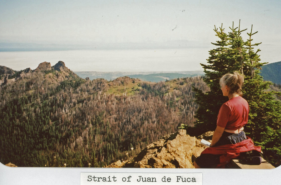
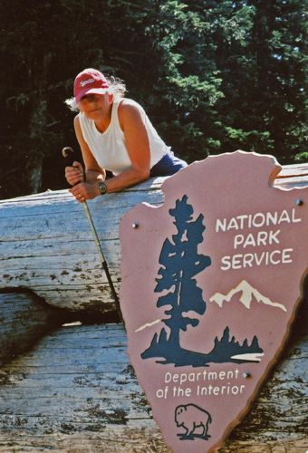
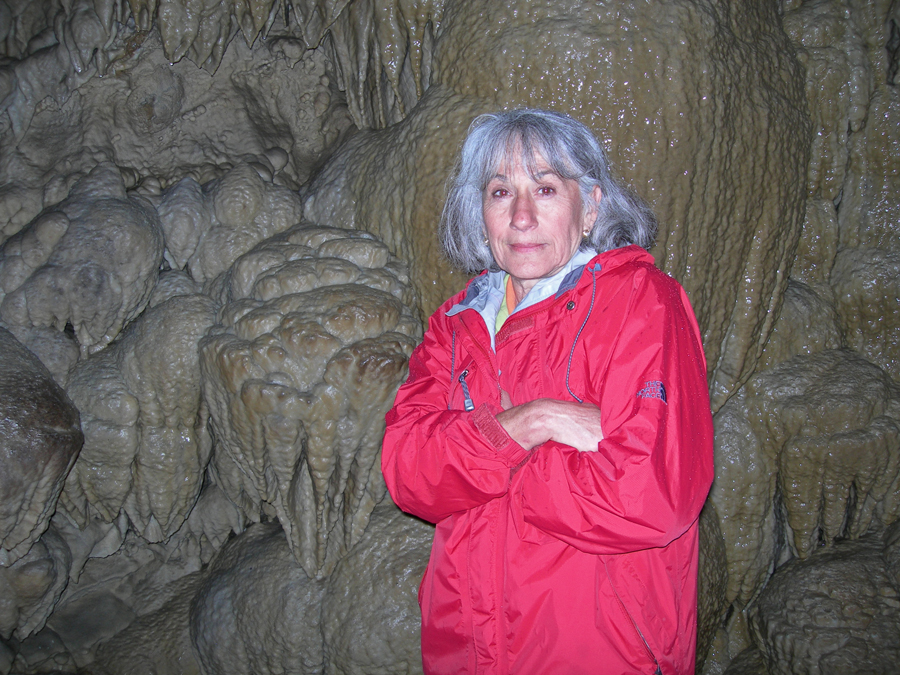
Helen and I visited on 6/24/2007 and stayed in the Chateau near the Visitor Center. Partial view of the black PT Cruiser we rented.
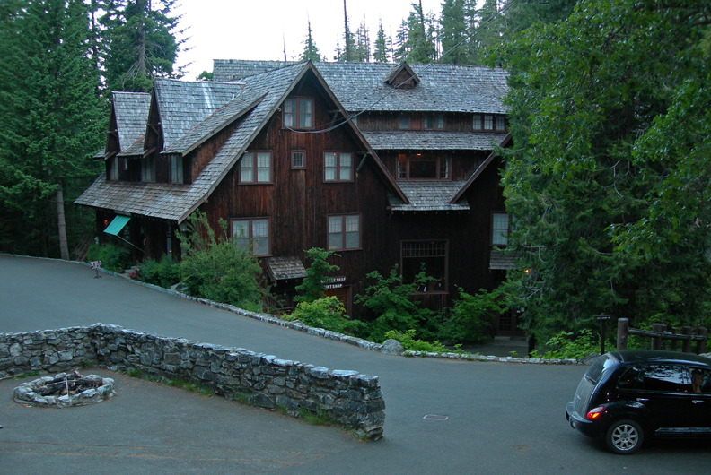
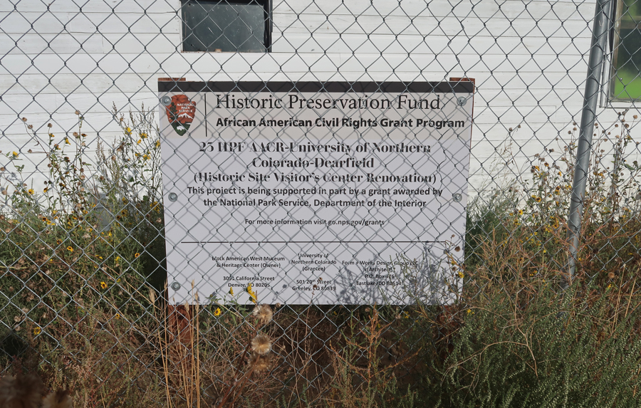
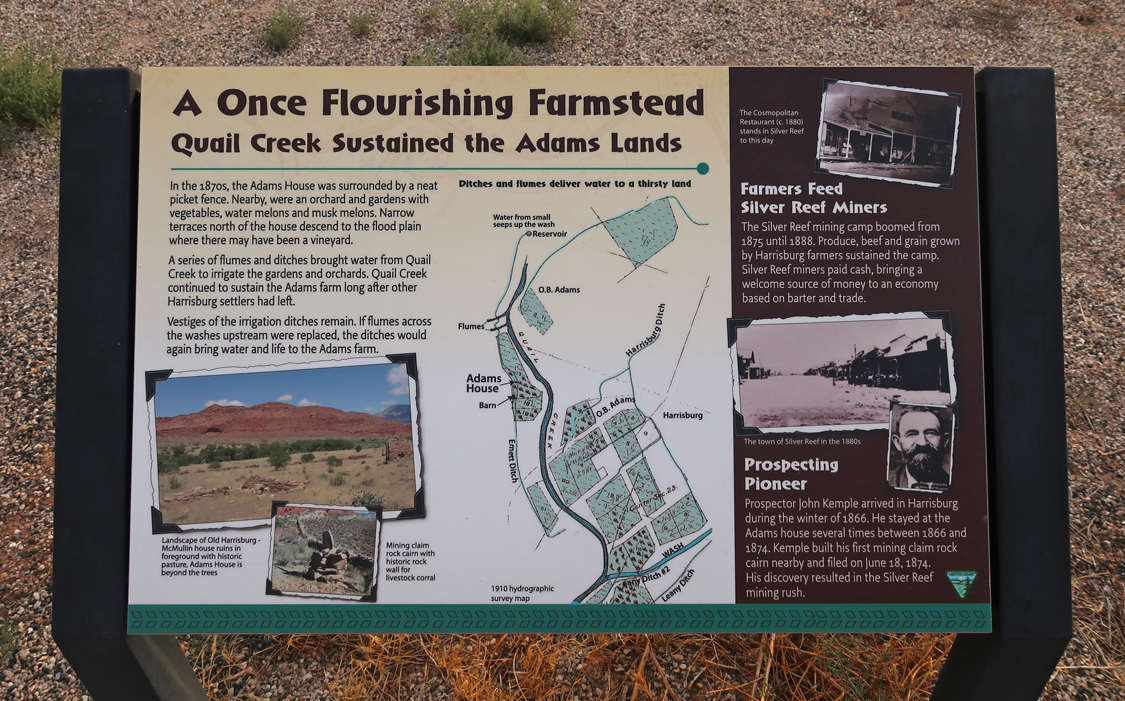
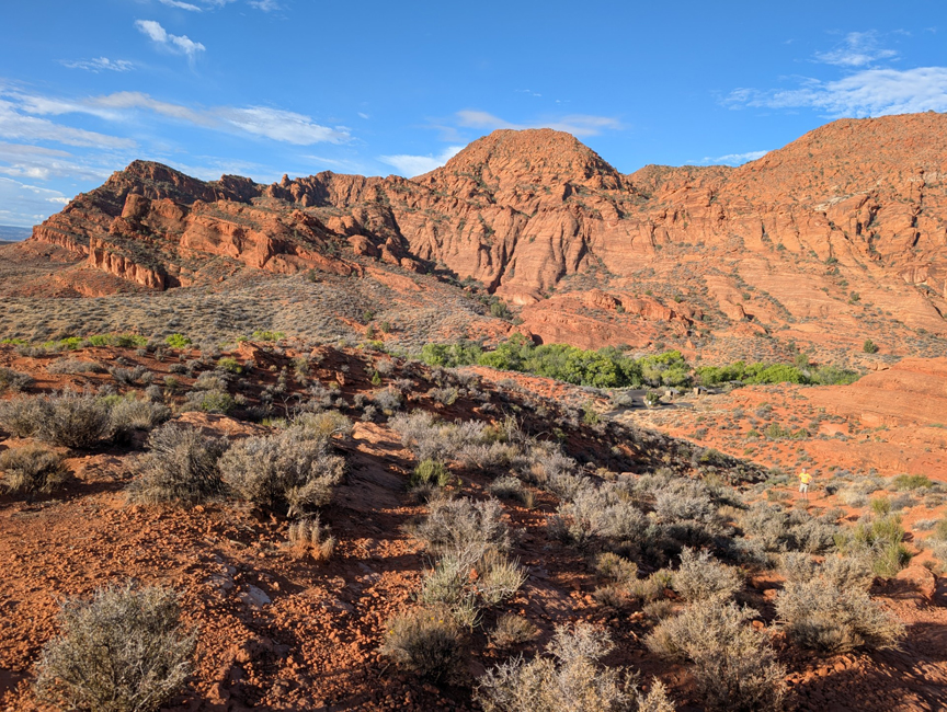
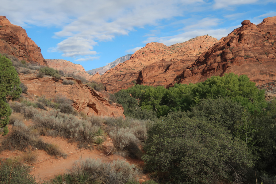
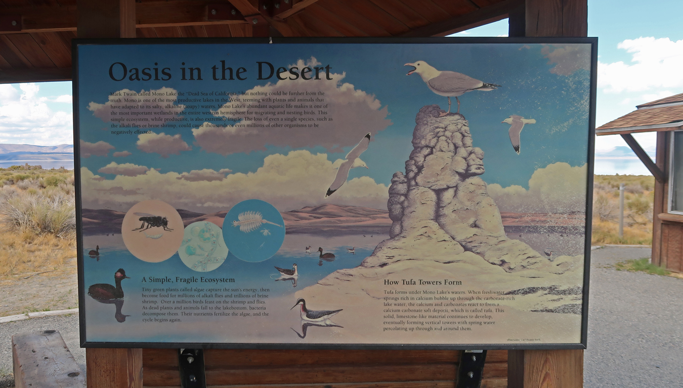
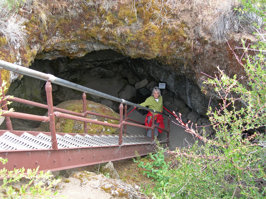
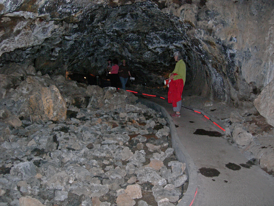
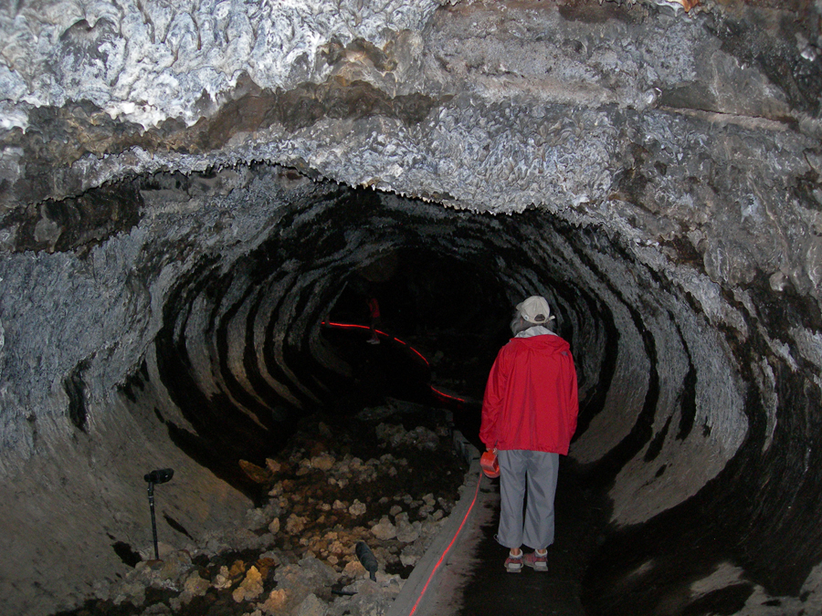
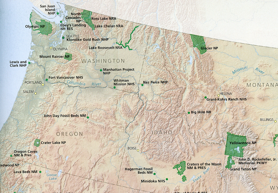
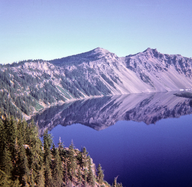
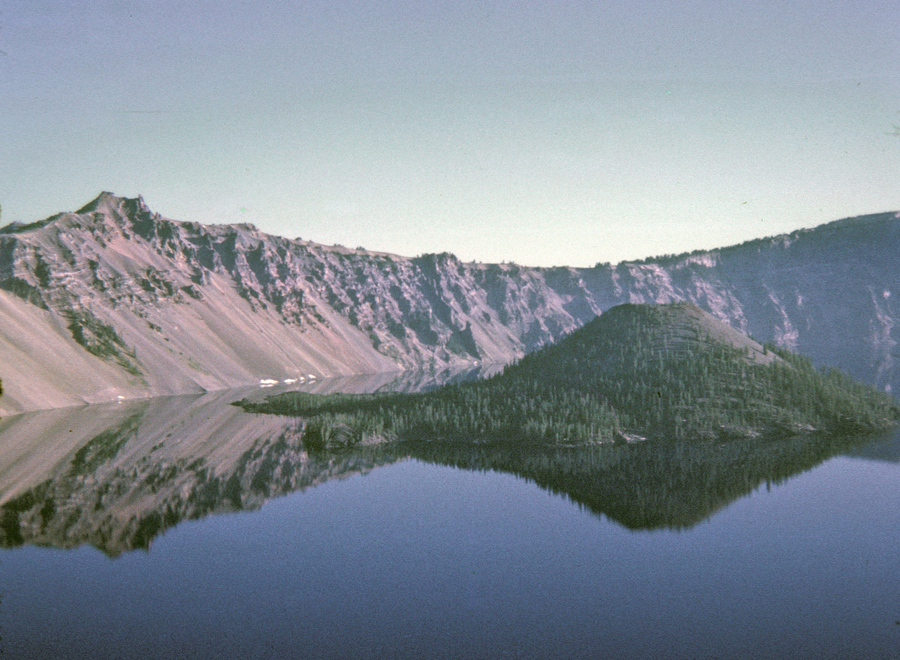
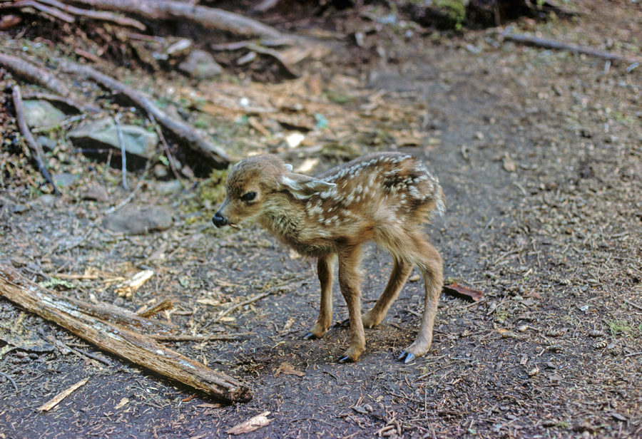
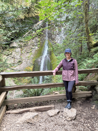
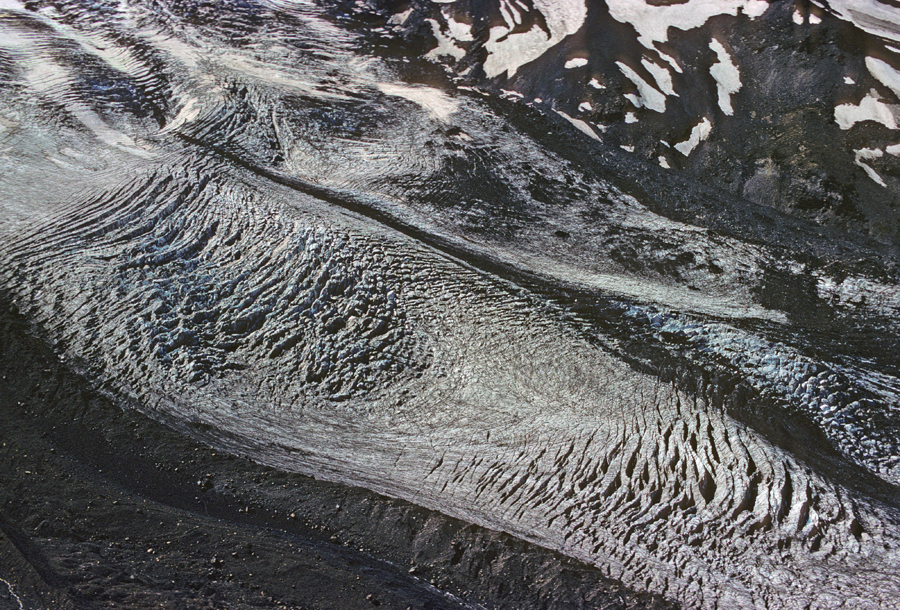
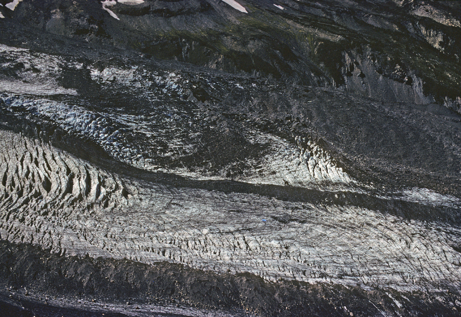
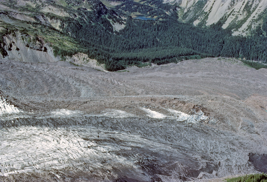
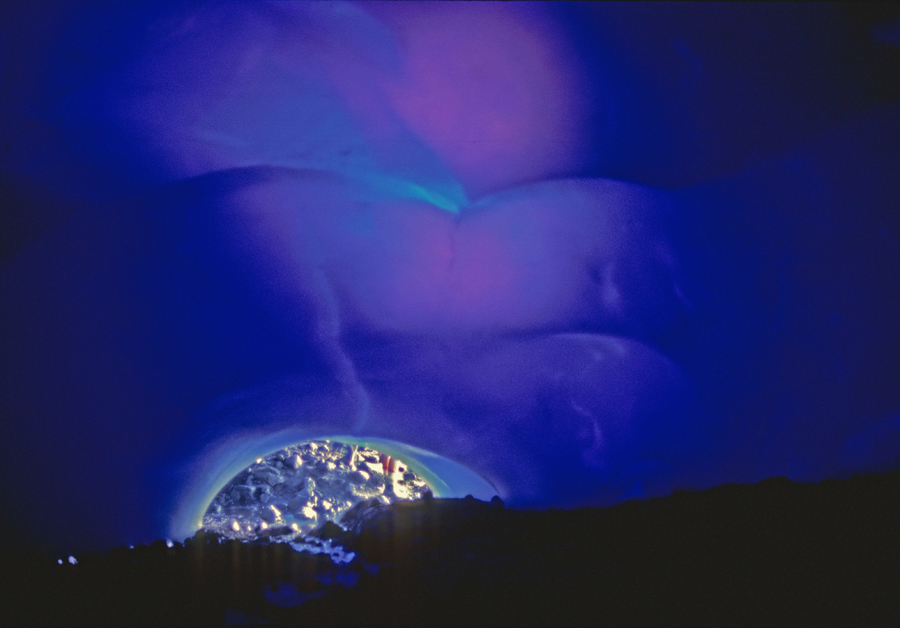
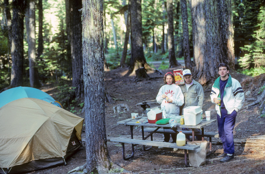
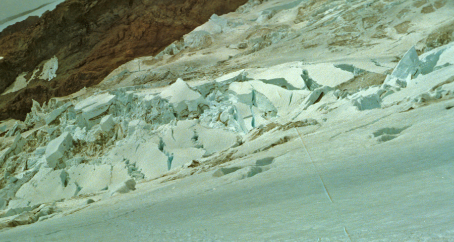
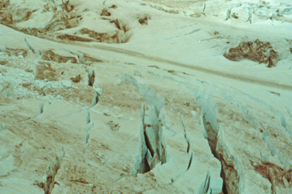
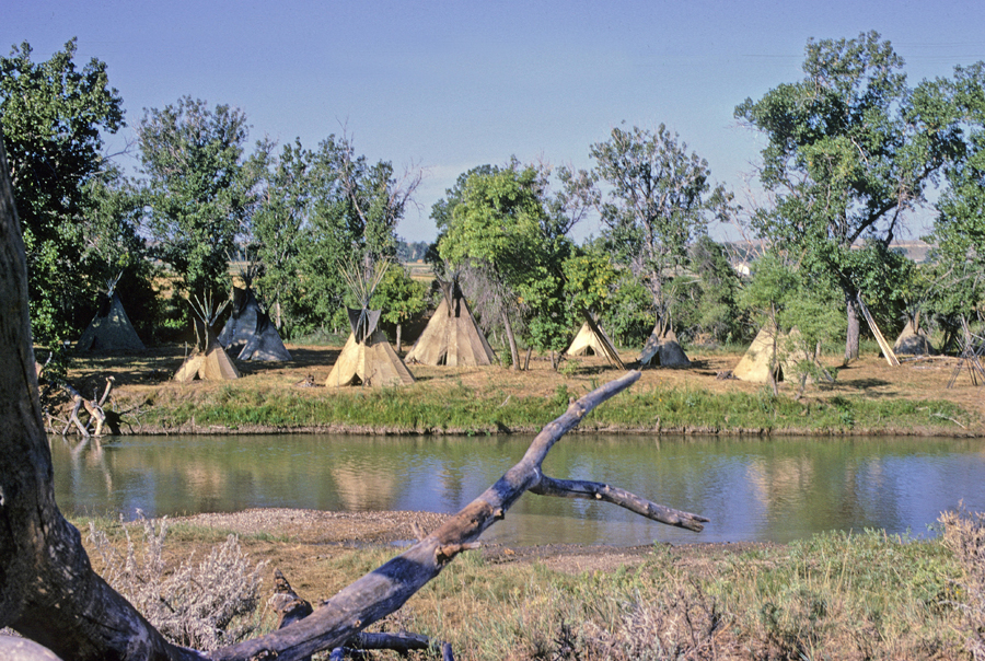
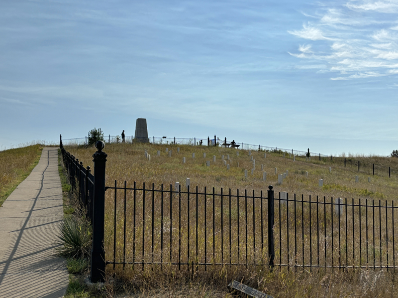
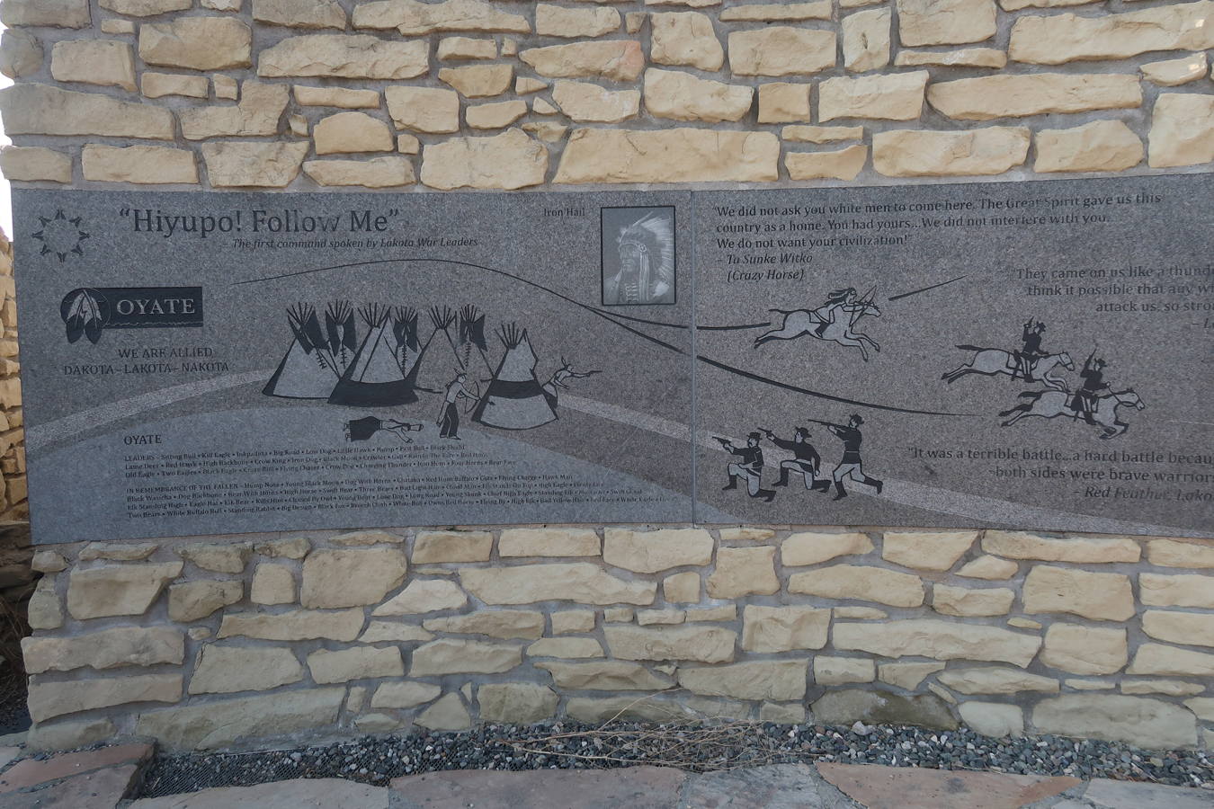
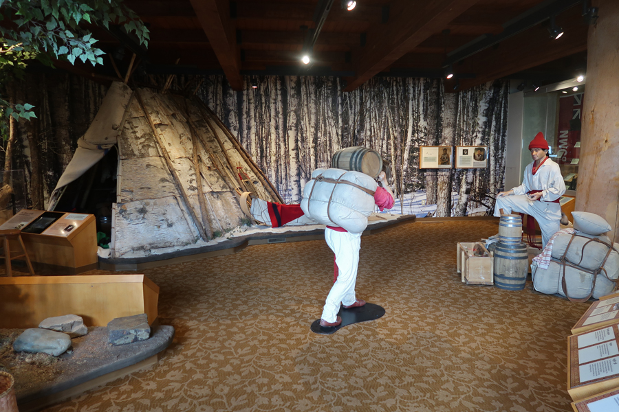
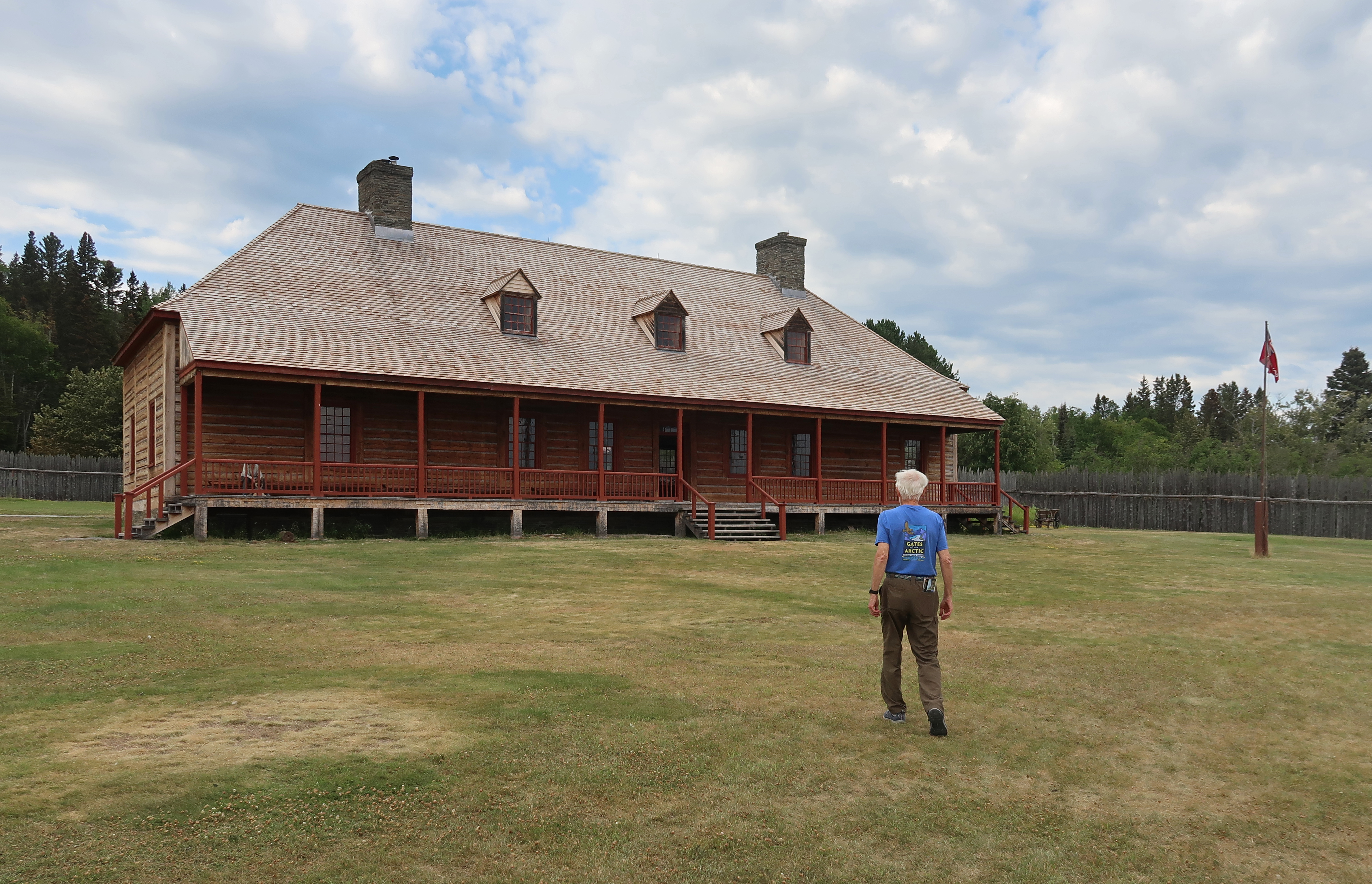
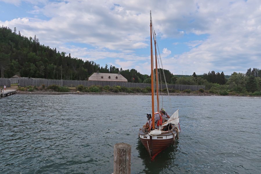
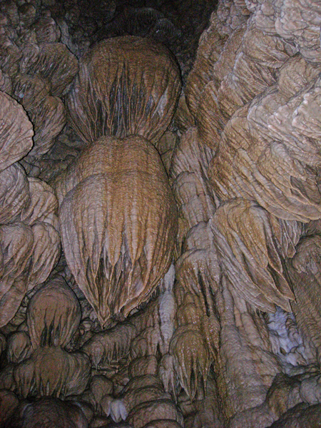
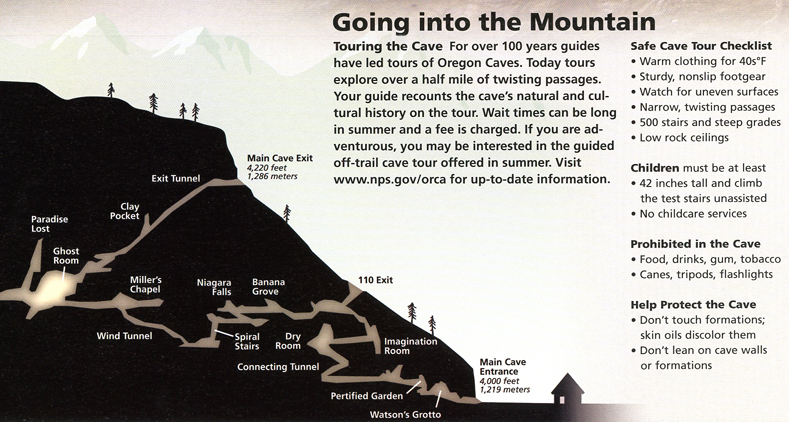
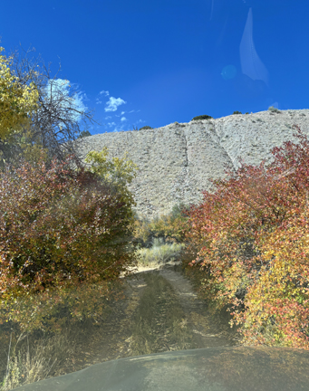
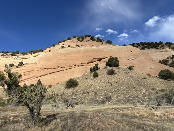
Description: We arrived at Oregon Caves at 5pm wanting to take the candlelight tour that we thought was at 6pm. We found that they now only do that tour on Friday and Saturday evenings – so we went on the 90-minute guided tour at 5:30. The cave is still very active (42o) with many glistening formations. Unlike many caves we have visited, here you could often reach out and touch the impressive formations (which of course you are not supposed to do). At times the passage was so tight it was hard to avoid bumping into the walls. We spent the night in the 1934 Chateau (Lodge) at the caves. The stone retaining walls, parapet walls, trout pools and waterfalls were constructed by the Civilian Conservation Corps (CCC) in the 1930’s. We selected the Florentine Trout for dinner and then played cards with a couple from Oklahoma who were touring on their motorcycle.
.
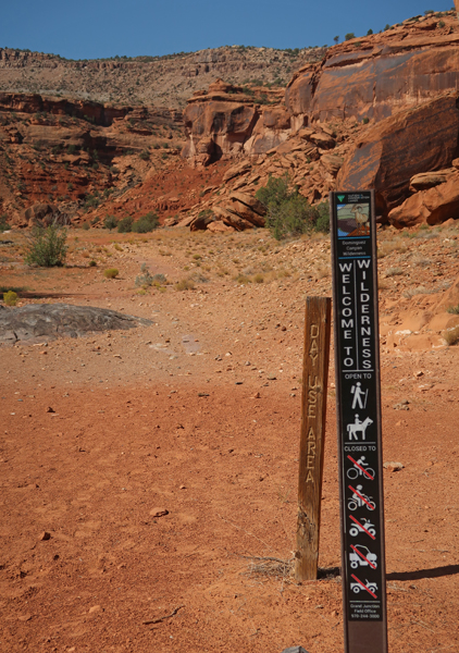
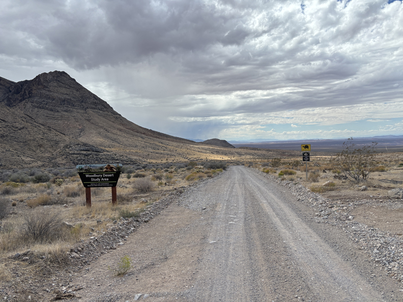
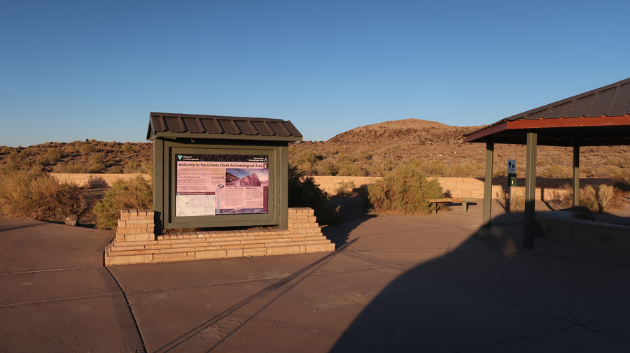
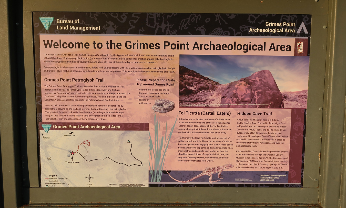
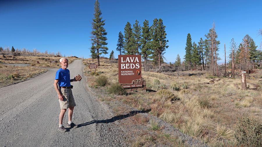
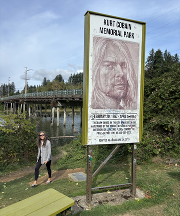
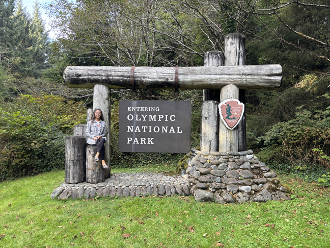
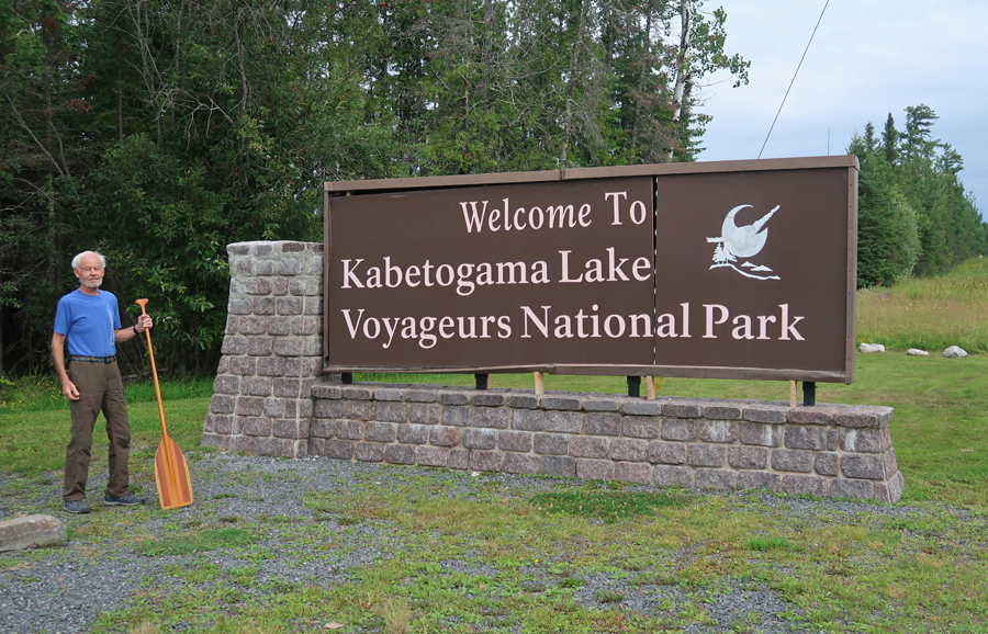
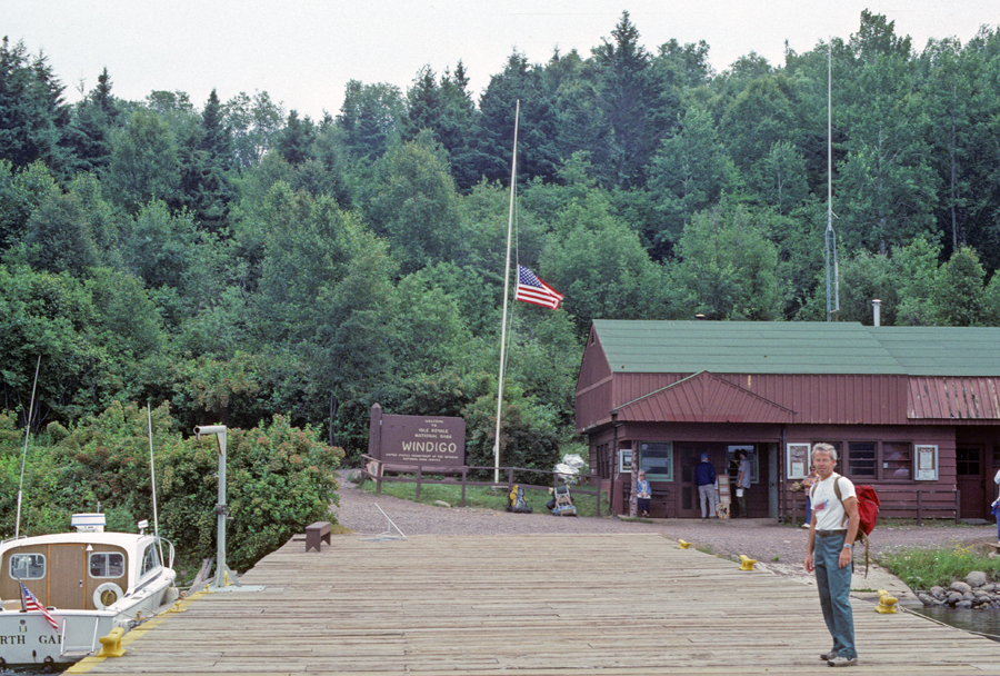
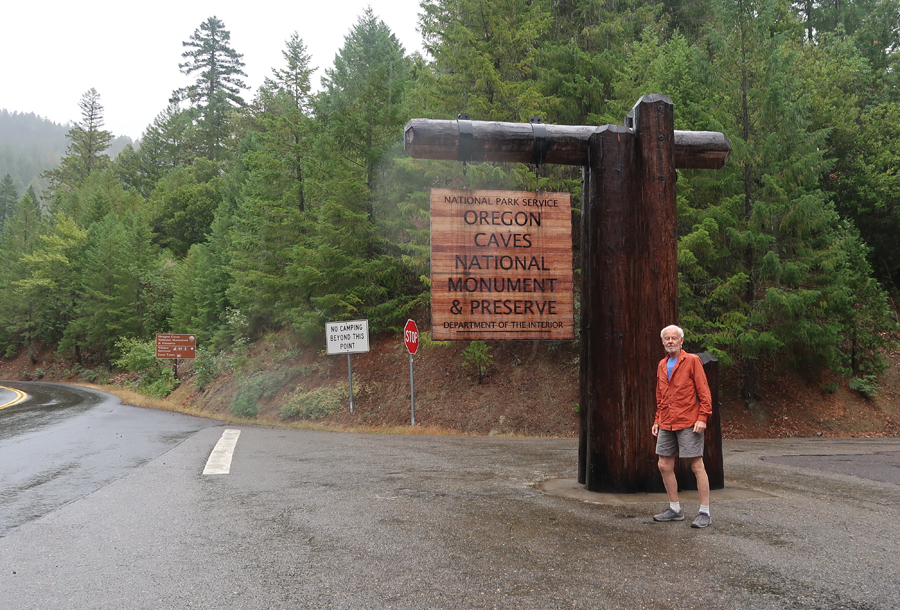
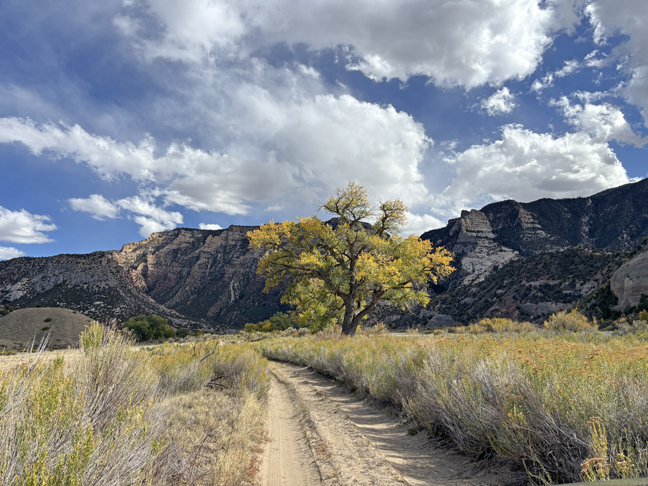
On this trip I wanted to get a photo of the Oregon Caves National Monument and Preserve sign
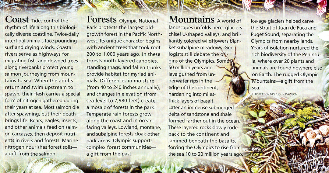
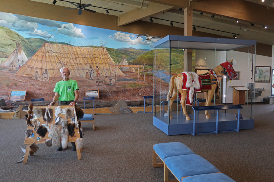
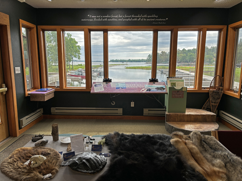
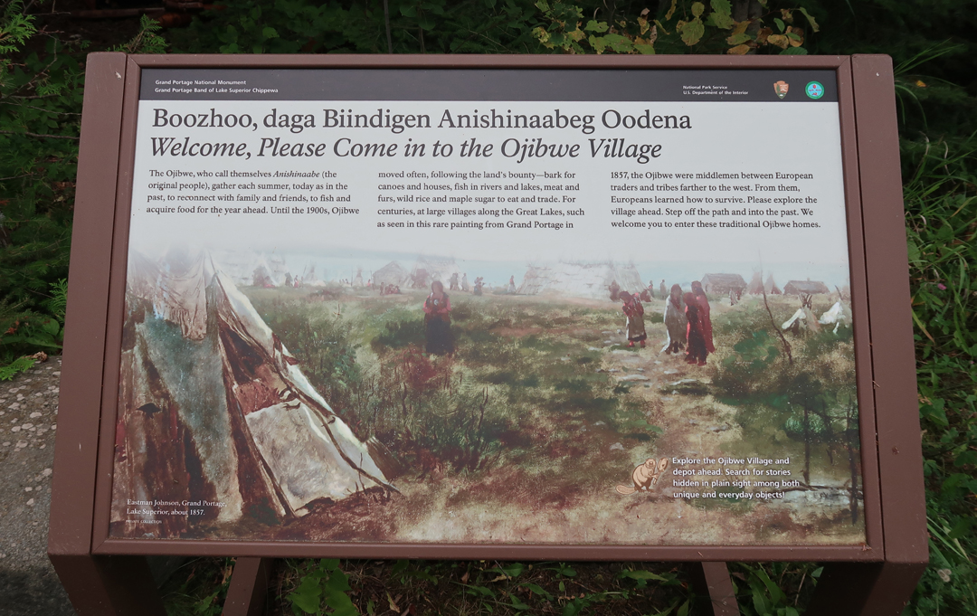
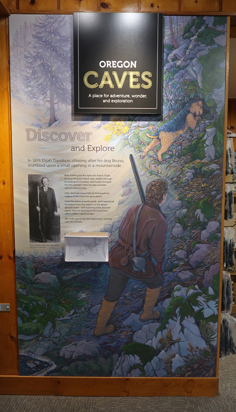
As well as spend some time in the Visitor Center. Eijah Davidson found the caves in 1874 – he stumbled on an opening while chasing after his dog Bruno.
.
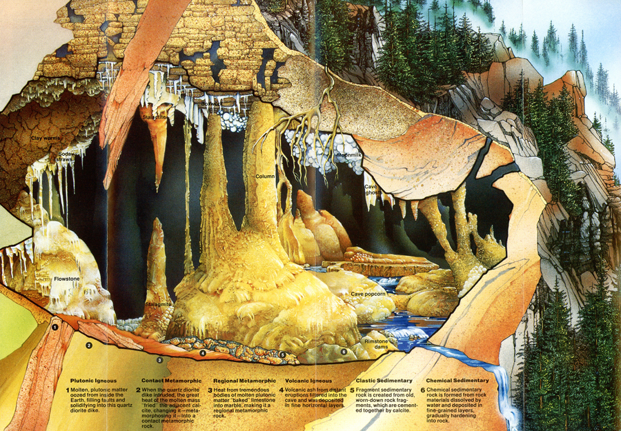
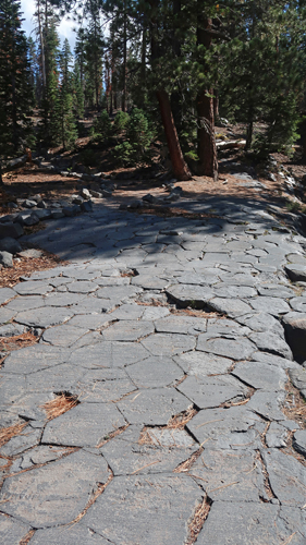
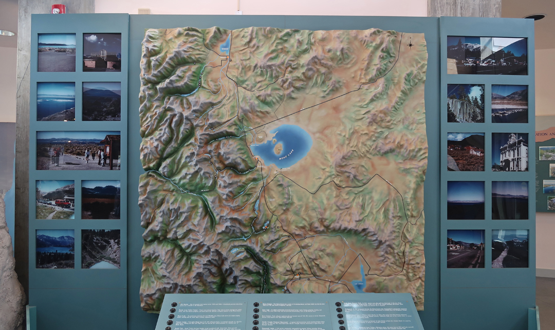
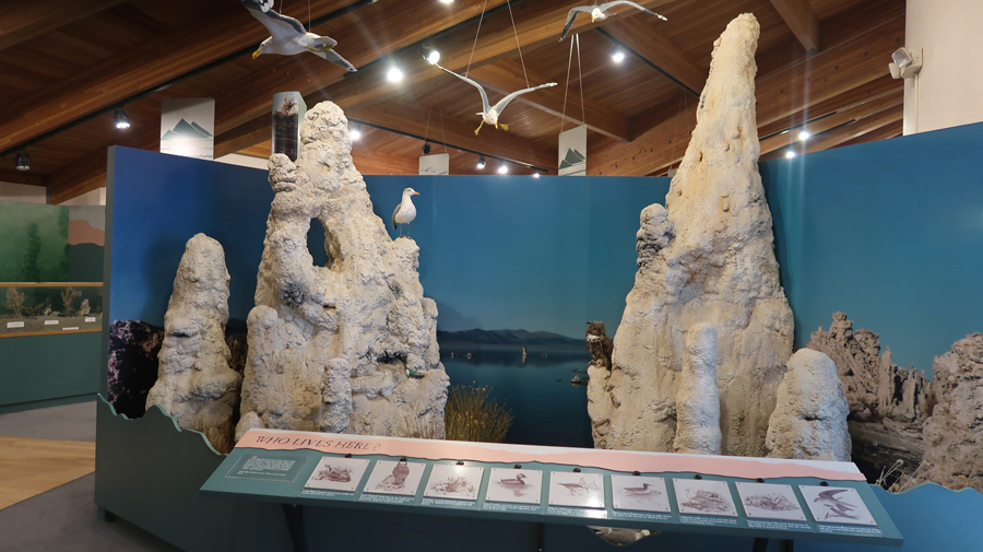
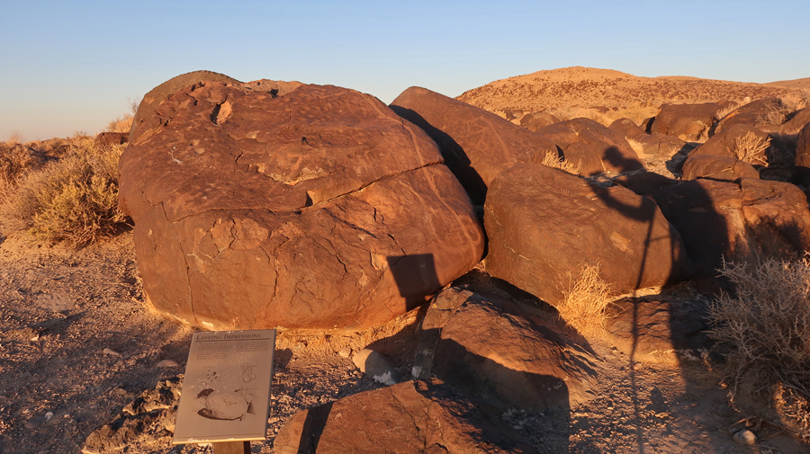
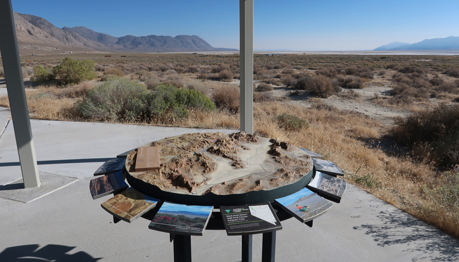
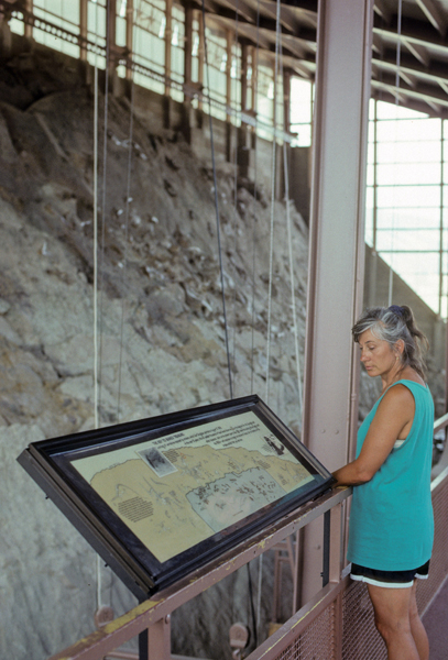
This display shows a three-dimensional view of the cave passages.
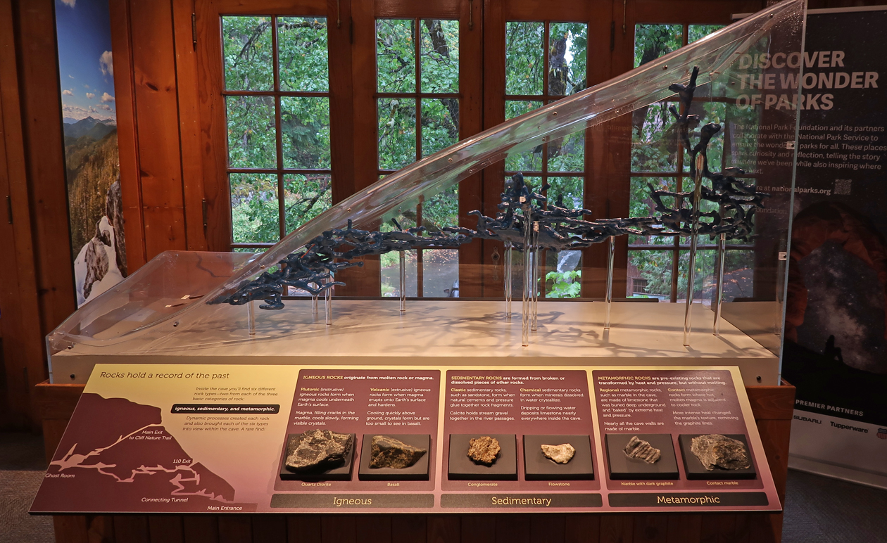
Two-dimensional representation
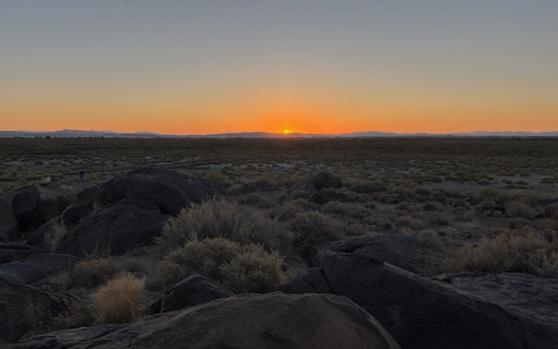
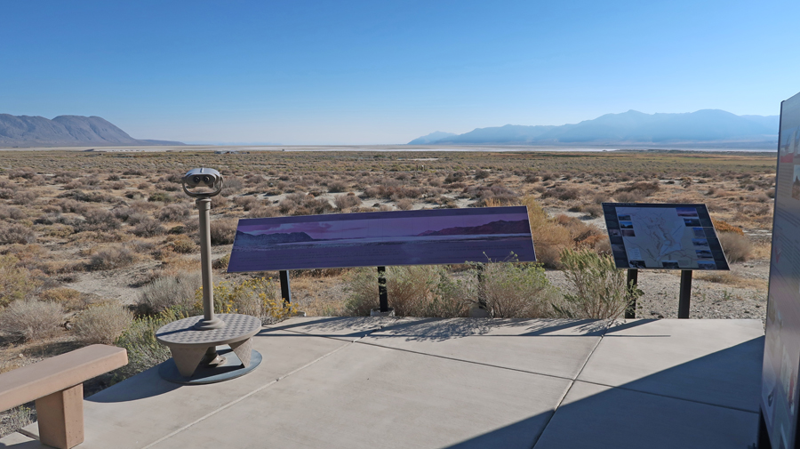
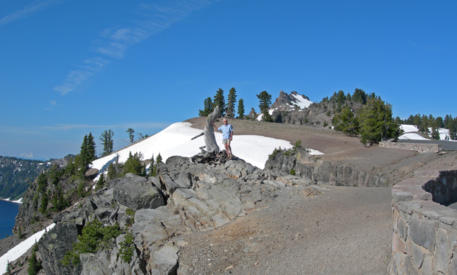
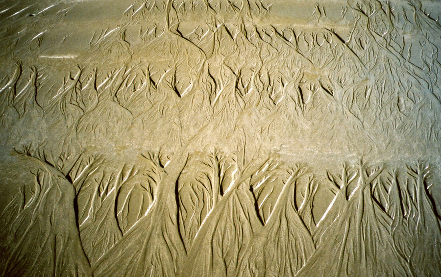
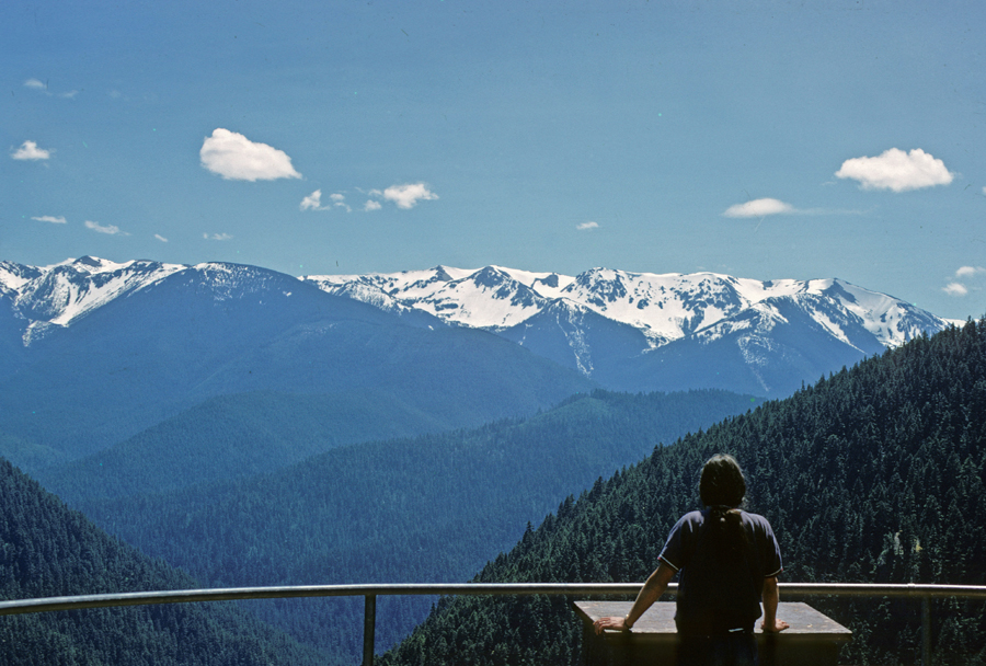
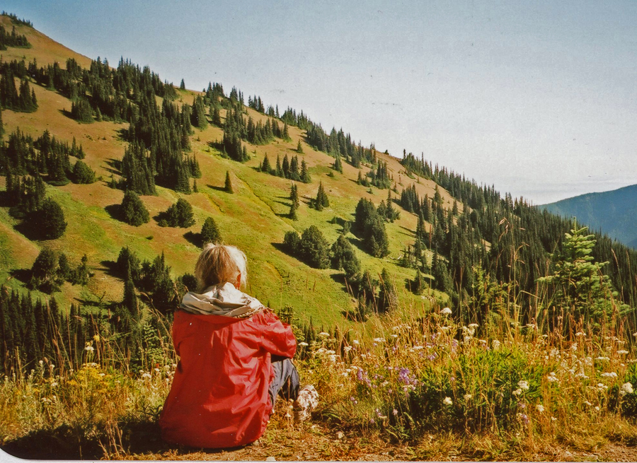
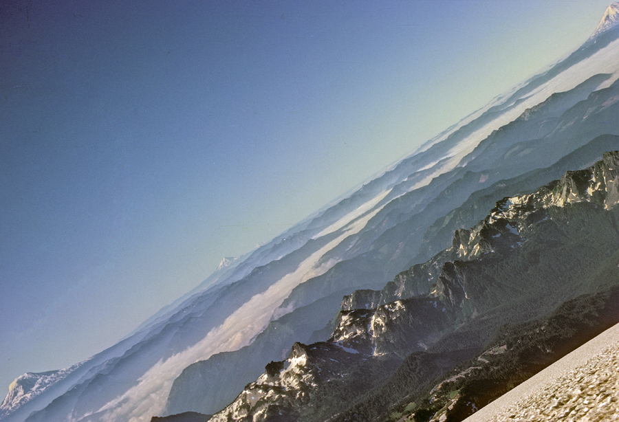
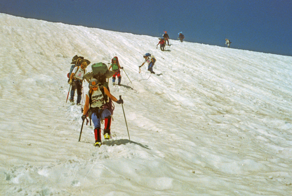
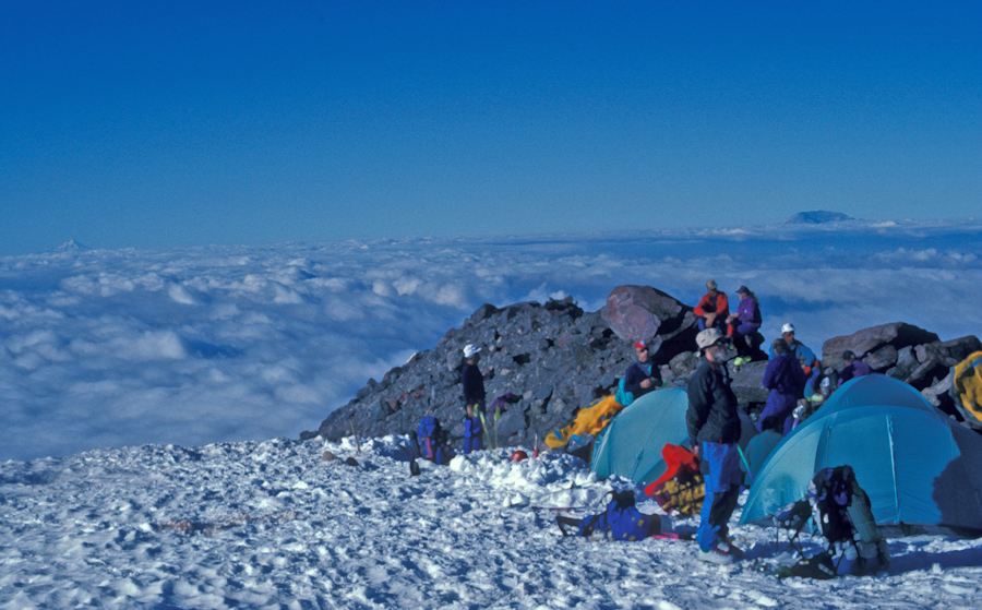
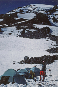
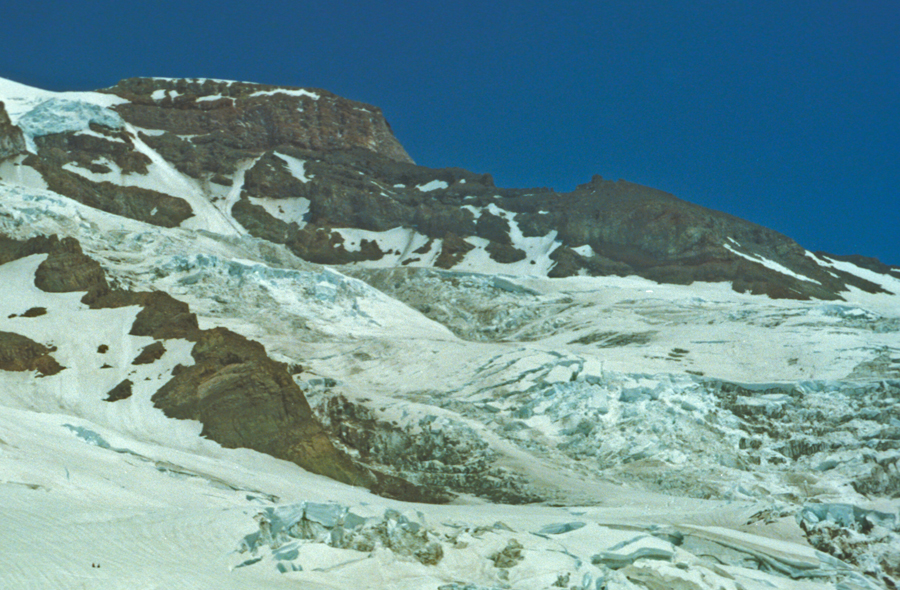
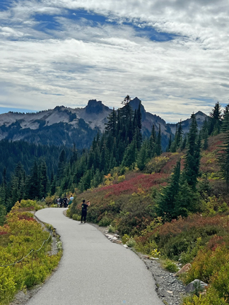
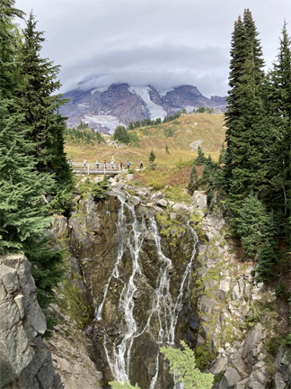
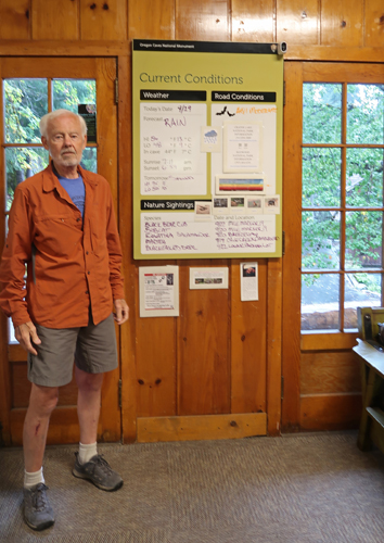
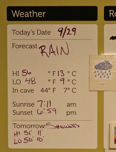
It was a cold and rainy day –
.
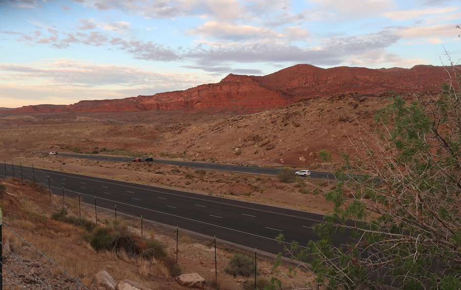
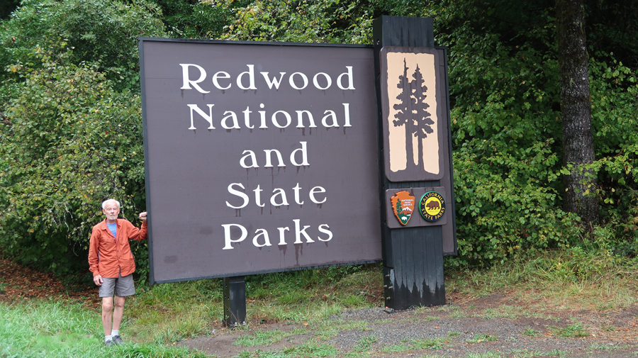
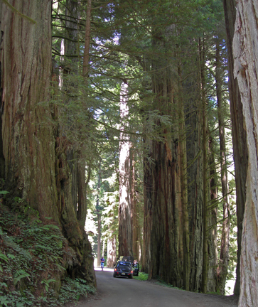
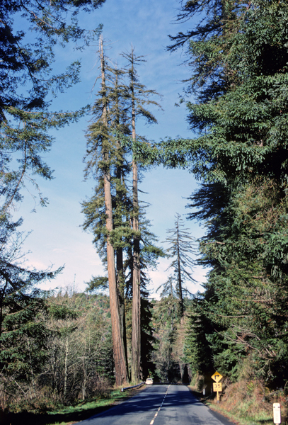
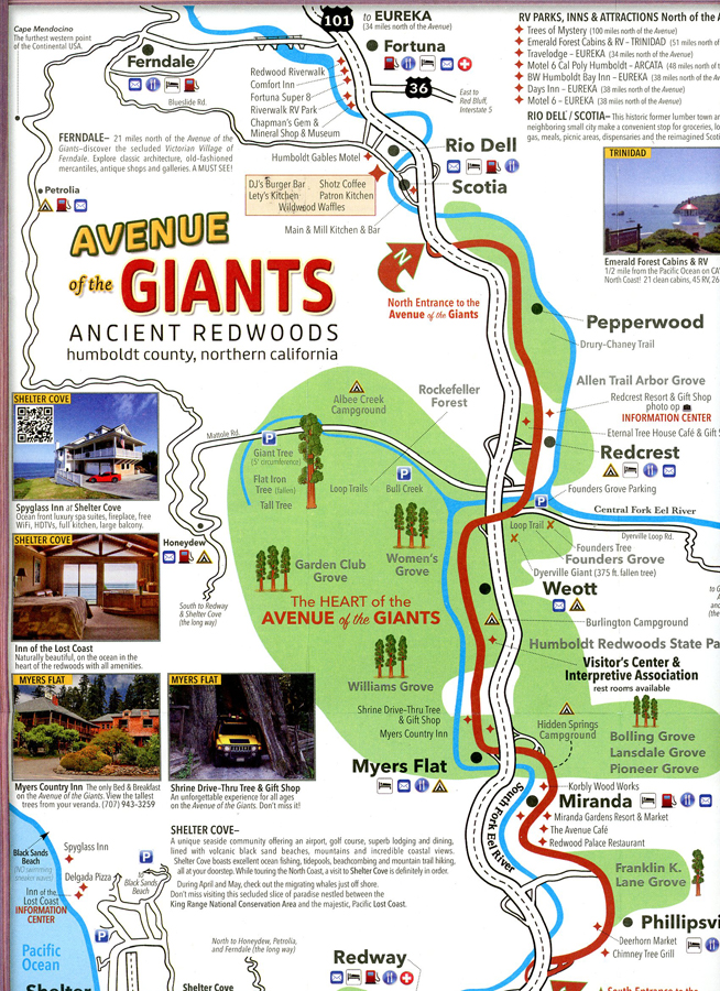
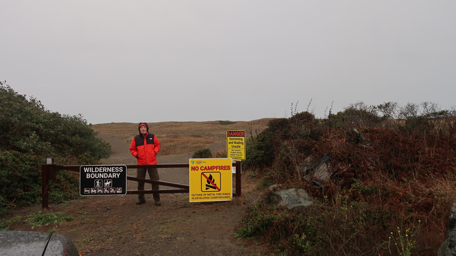
1.5hrs to Redwood National and State Parks in CA. They are managed cooperatively by the NPS and the CA Department of Parks and Recreation.
.
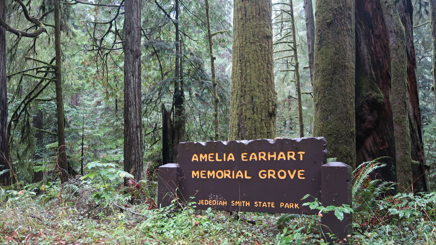
Emelia Earhart Memorial Grove 2025
.
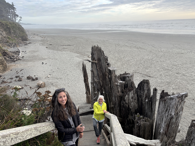
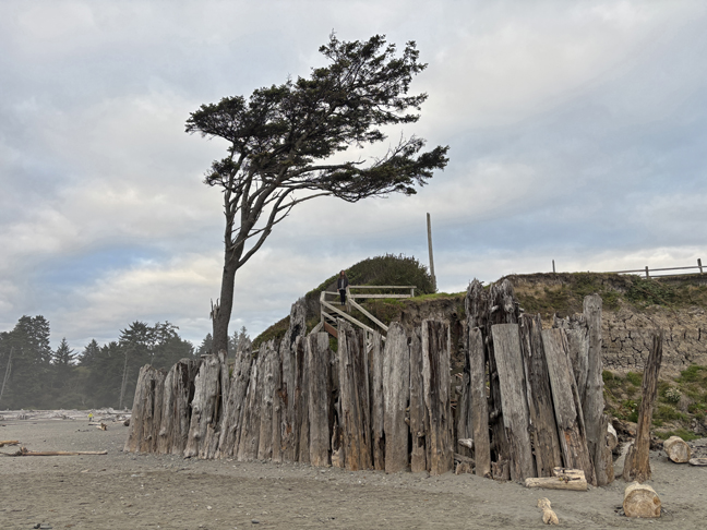
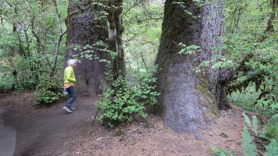
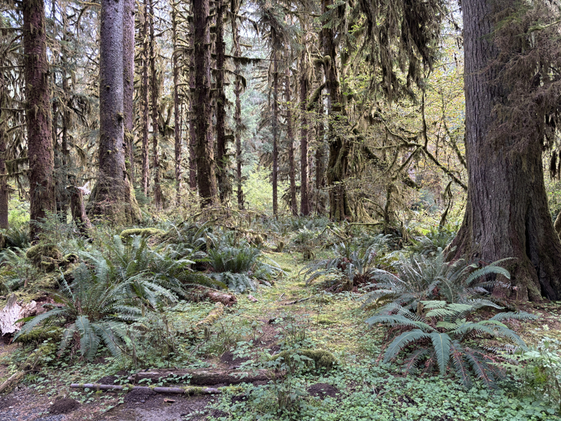
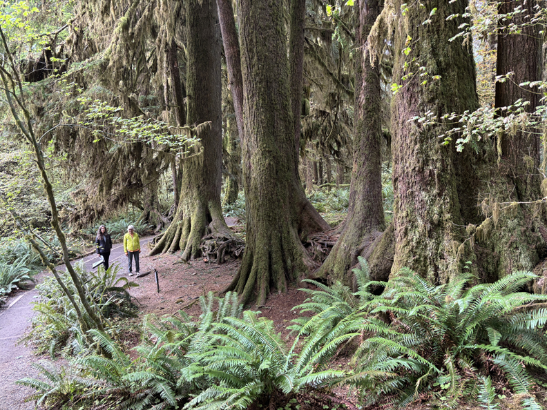
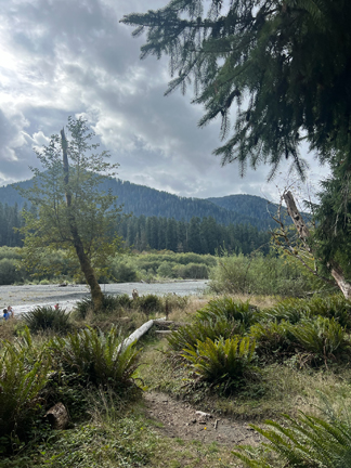
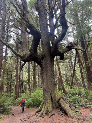
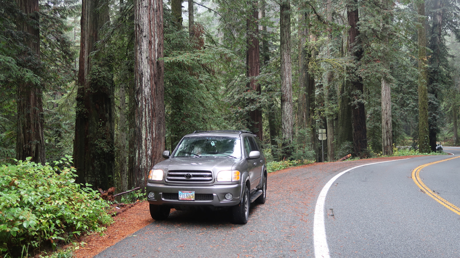
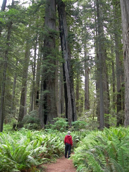
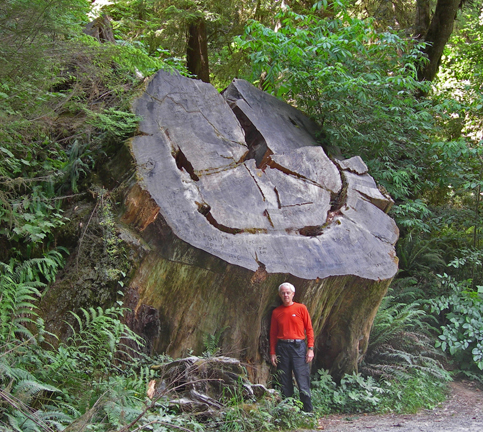
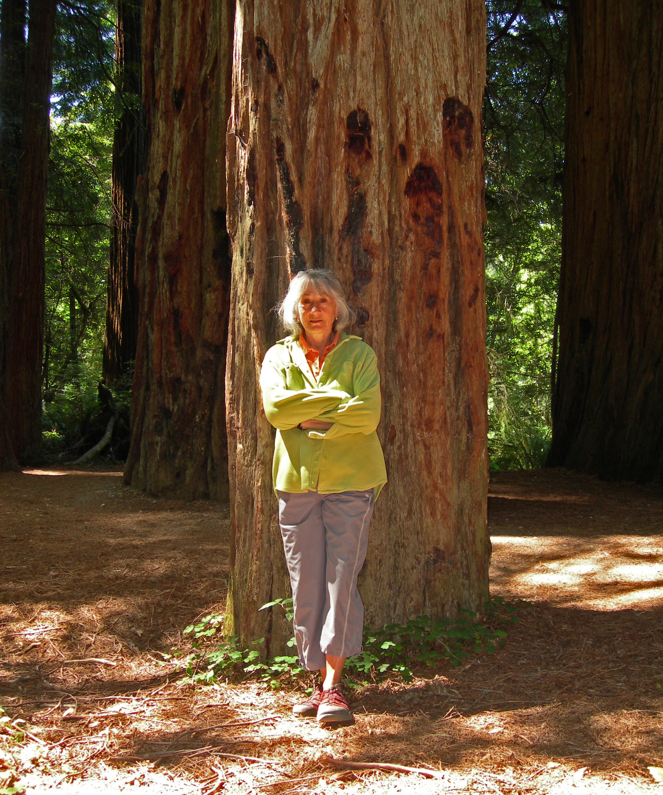
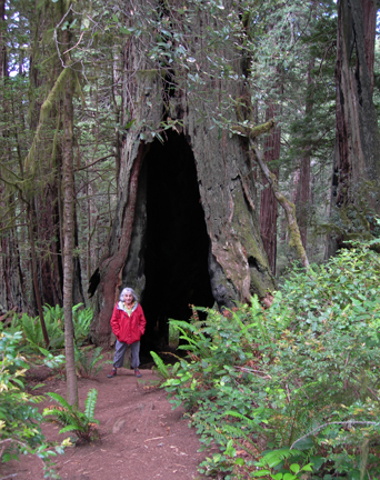
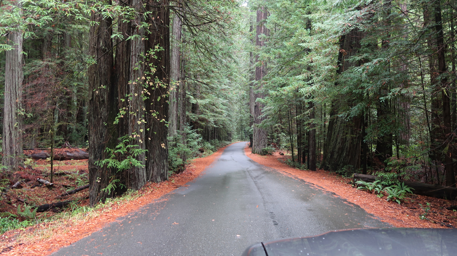
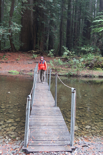
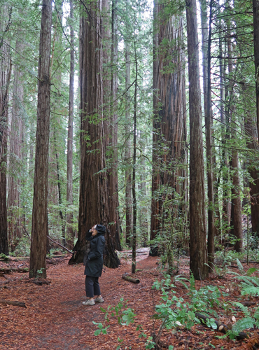
We have visited Redwood NP three times. In this Blog description, I will review our visits from North to South. In 2007, we drove the Howland Hill Rd through Jedediah Smith Redwoods SP.
.
.
.
.
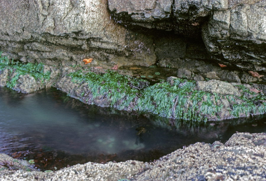
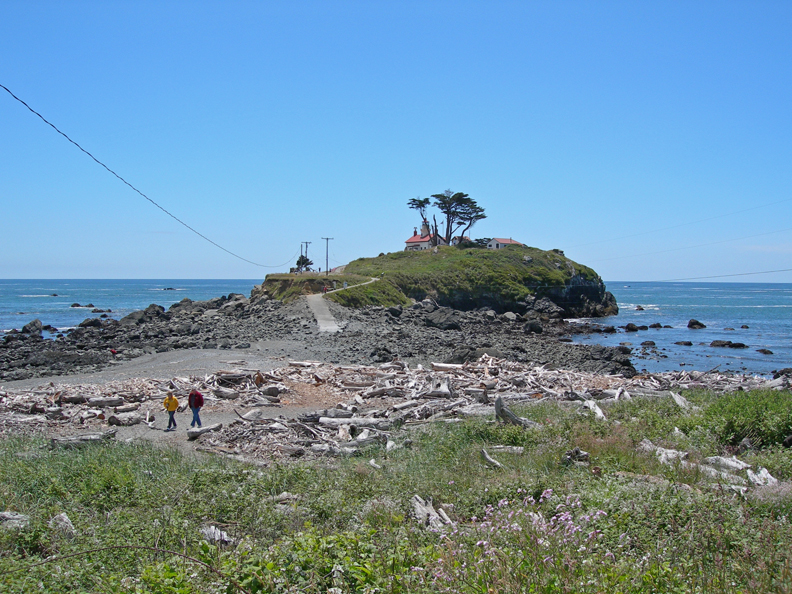
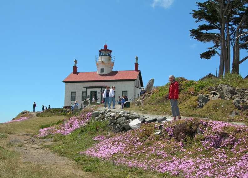
We stopped (2025) at the Park Headquarters in Crescent City CA to collect information. We visited the Battery Point Lighthouse (1856), which is nearby, in 2007. We were able to walk across an inlet to the lighthouse because it was low tide.
.
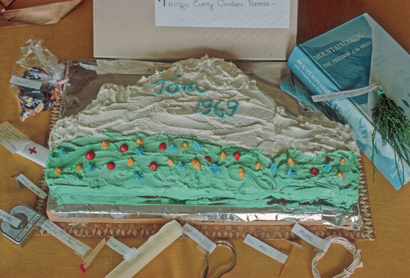
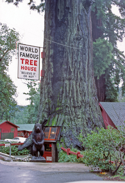
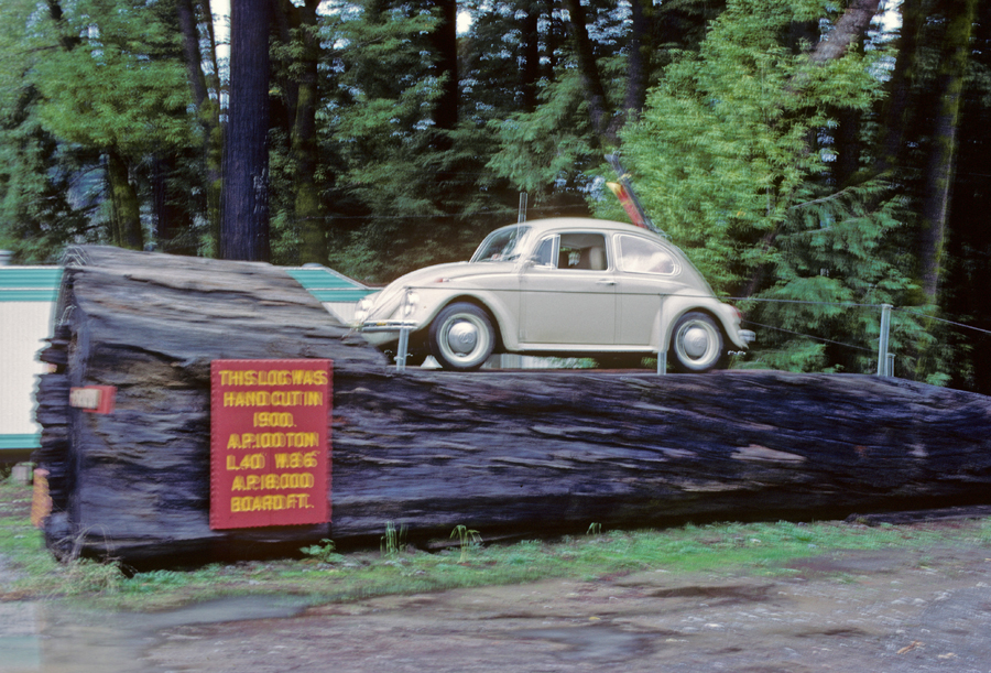
In 1969, when driving from Seattle to San Francisco for a wedding, we stopped at a couple of commercial areas along Rt-101 – “World Famous Tree House.”
.
.
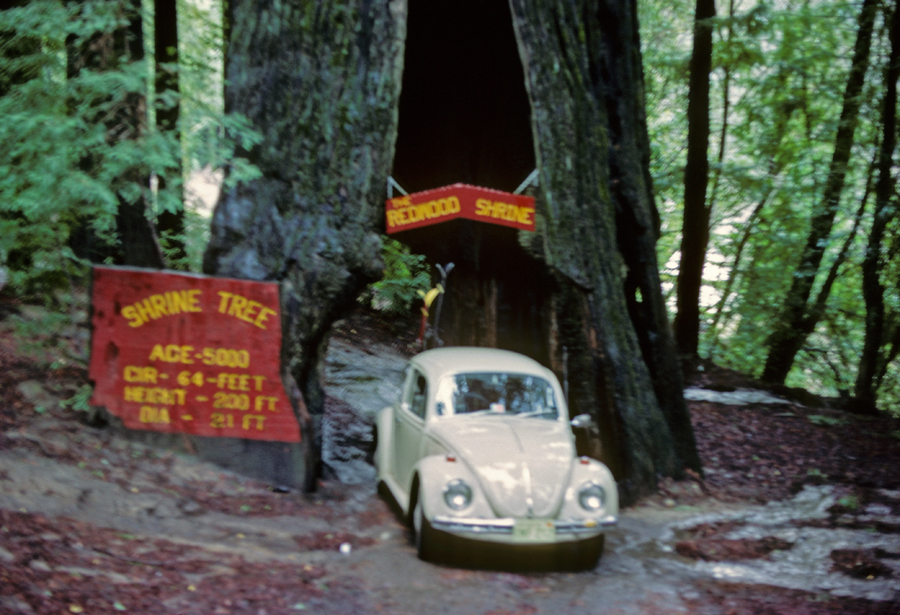
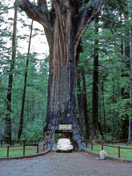
Chandelier Tree, if you look closely, we had skis on the back of the VW Bug. Well, I was so excited to drive through the tree that I forgot about that – the skis were ripped off the back of the car! Fortunately, they were not damaged.
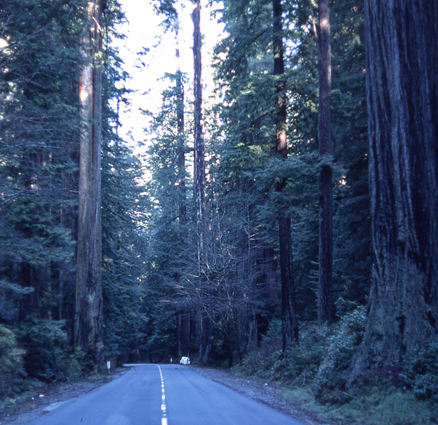
Two photos along Rt-101 – the Redwood Highway. In 2007, we stopped at a Yurok Indian smoke house and bought some smoked salmon for lunch (here they use redwood in the smoking process).
.
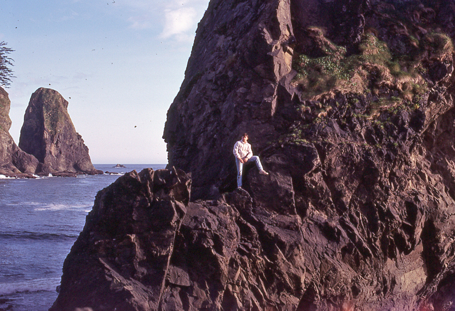
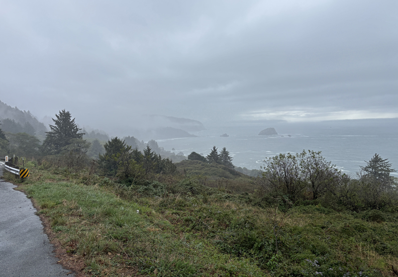
Coastal View from Rt-101
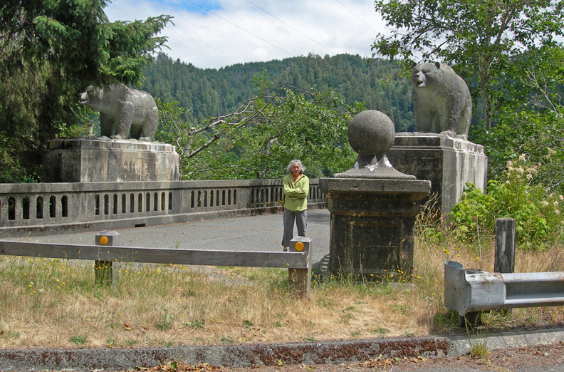
Lions, the state animal of CA, on the old Douglas Memorial Bridge near Klamath (2007). Bridge destroyed by flood in 1964.
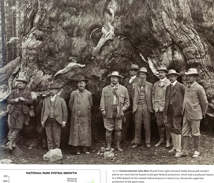
In a 1903 speech, Teddy Roosevelt urged protection of the giant trees. John Muir is fourth from right.
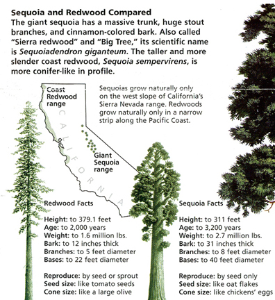
Sequoia and Redwood Compared
We did the Lady Bird Johnson Grove 1-mile Loop Trail in both 1969 and 2007.
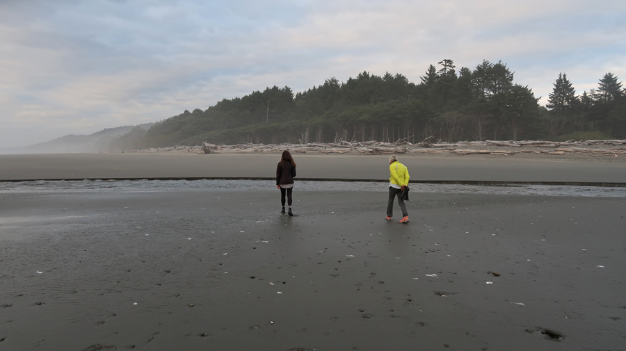
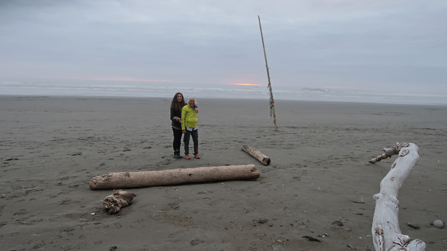
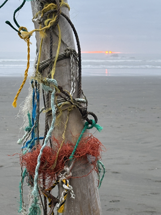
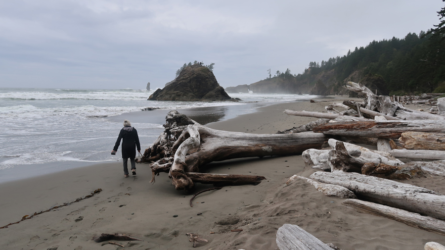
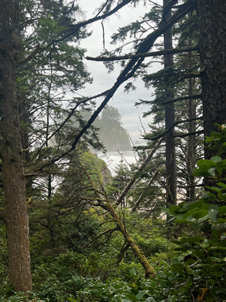
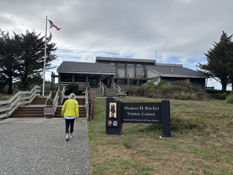
This year (2025), we did a nice hike on the beach at the Kuchel Visitor Center near Redwood Creek.
.
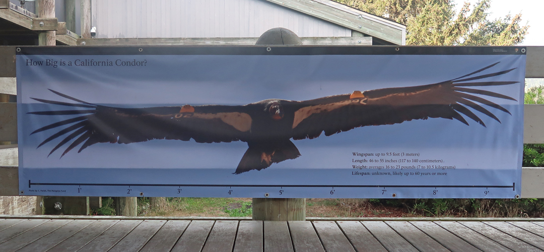
Condor wingspan – I am still looking for one in the wild!
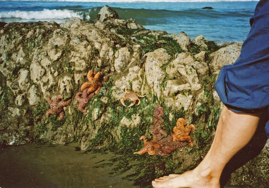
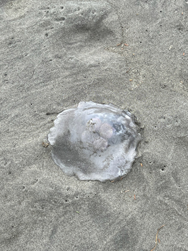
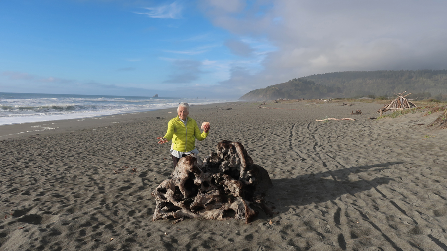
Cannot leave a beach without a souvenir!
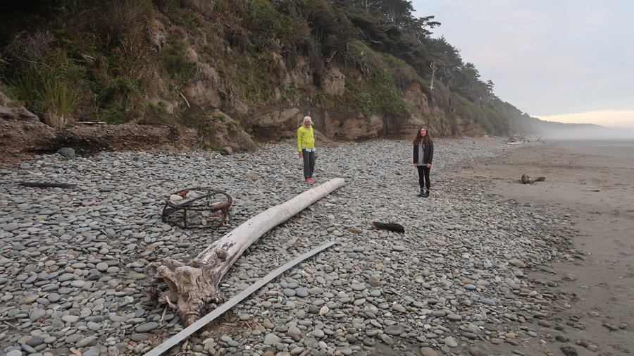
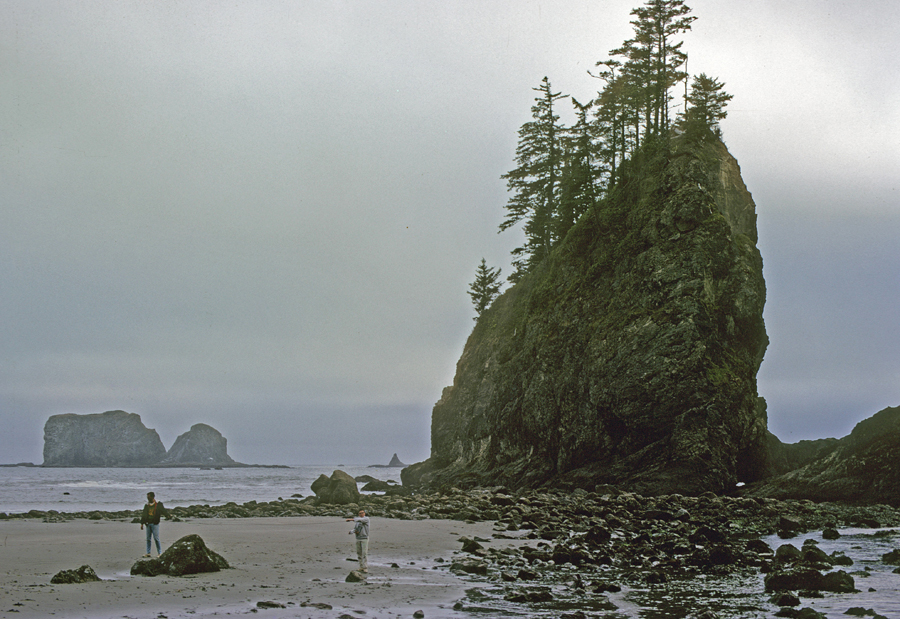
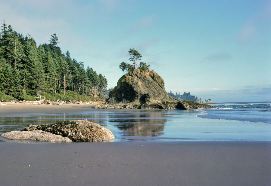
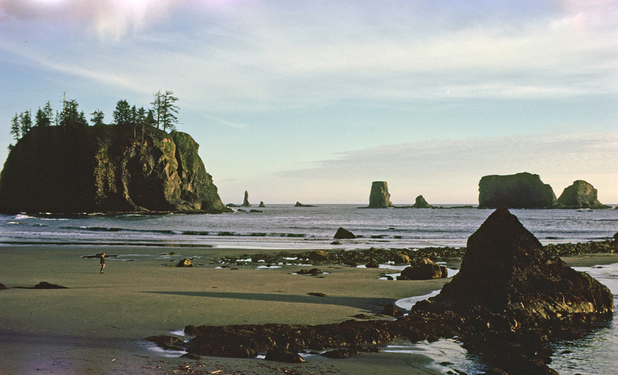
Trinidad State Beach
We made an unplanned stop in Humbolt Redwoods SP the next day – see below.
Stayed in a Best Western in Eureka CA
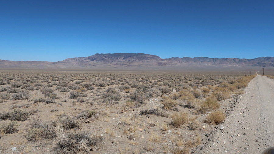
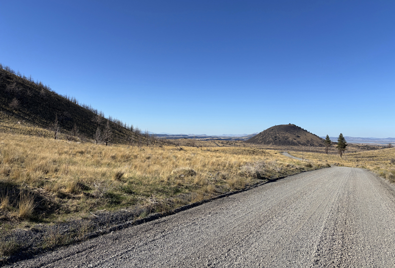
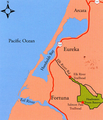
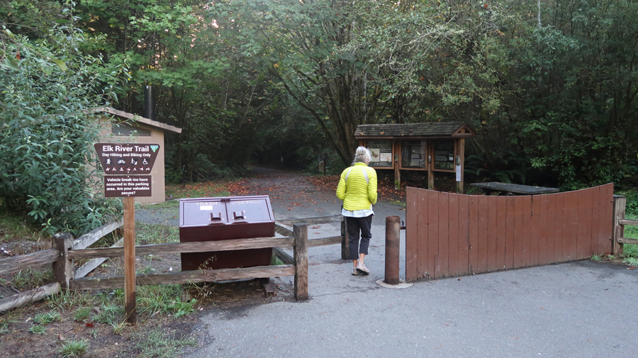
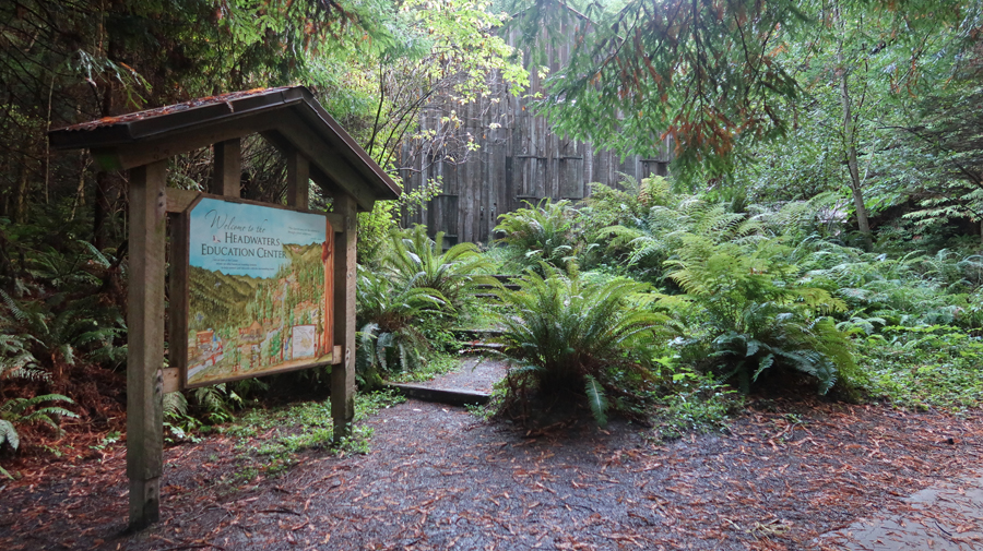
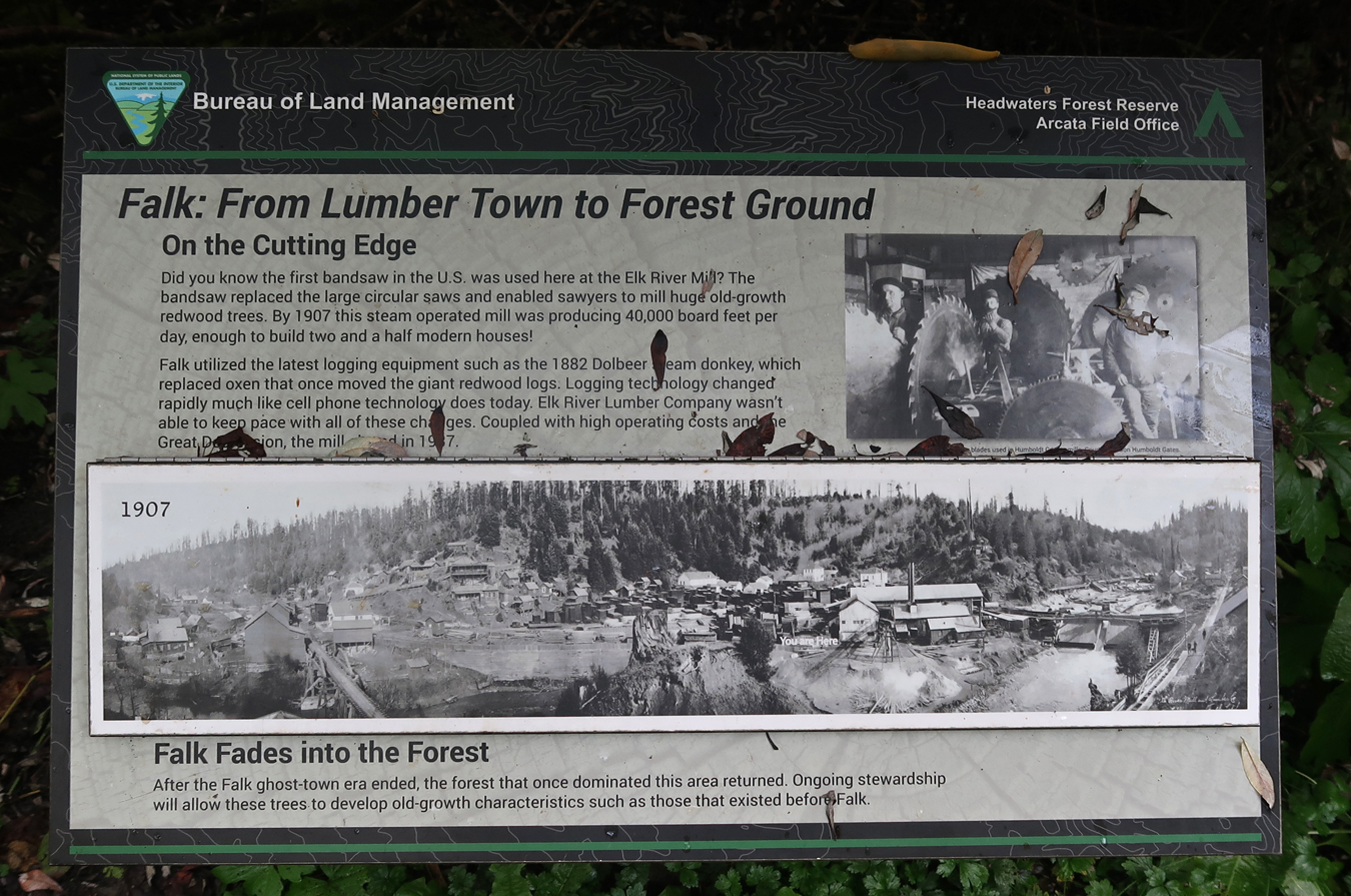
9/30 Tu – CA Headwaters Forest Reserve (FR), This BLM Redwoods site is only 19-miles S of Eureka
.
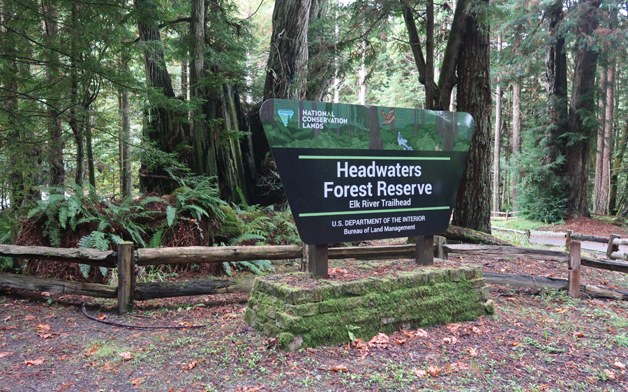
The BLM has classified this site as an Outstanding Natural Area (ONA).
.
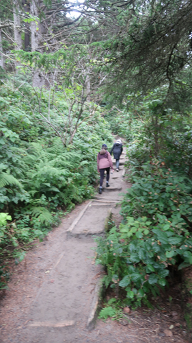
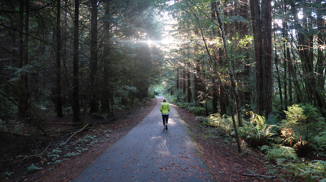
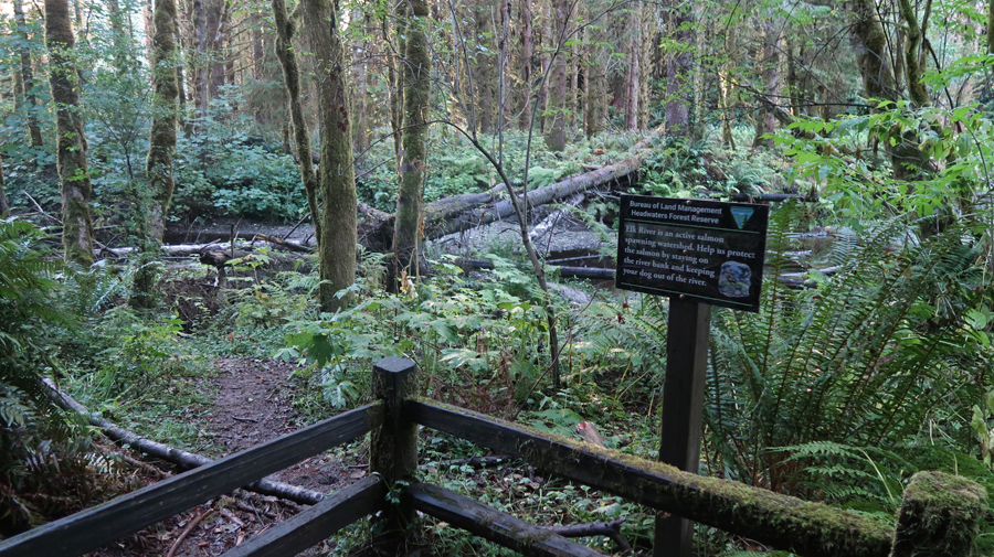
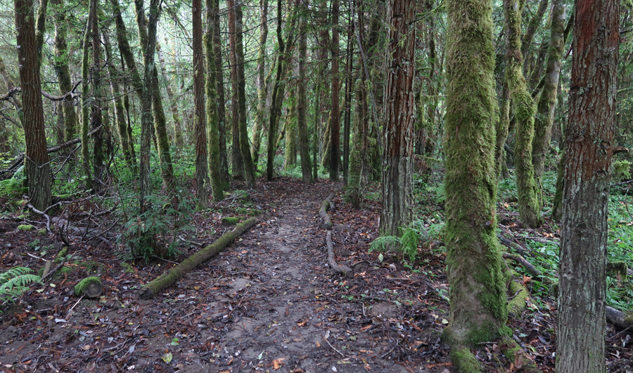
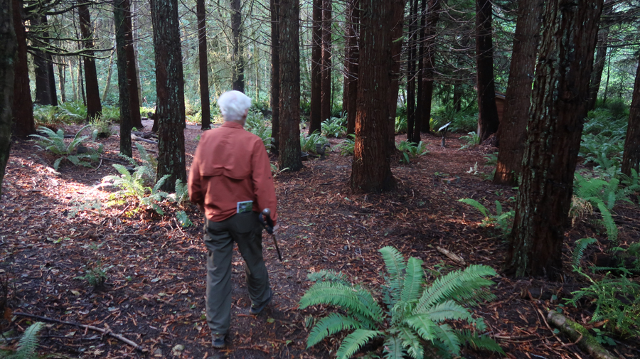
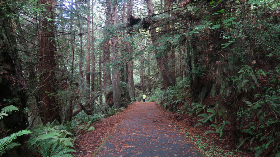
We did a very enjoyable 2+ mile morning walk on the paved part of the Elk River Trail
.
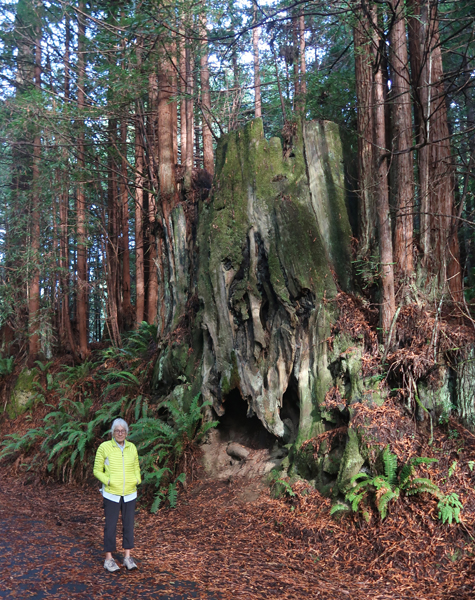
Side hike to the site of the Webb’s house, now gone
.
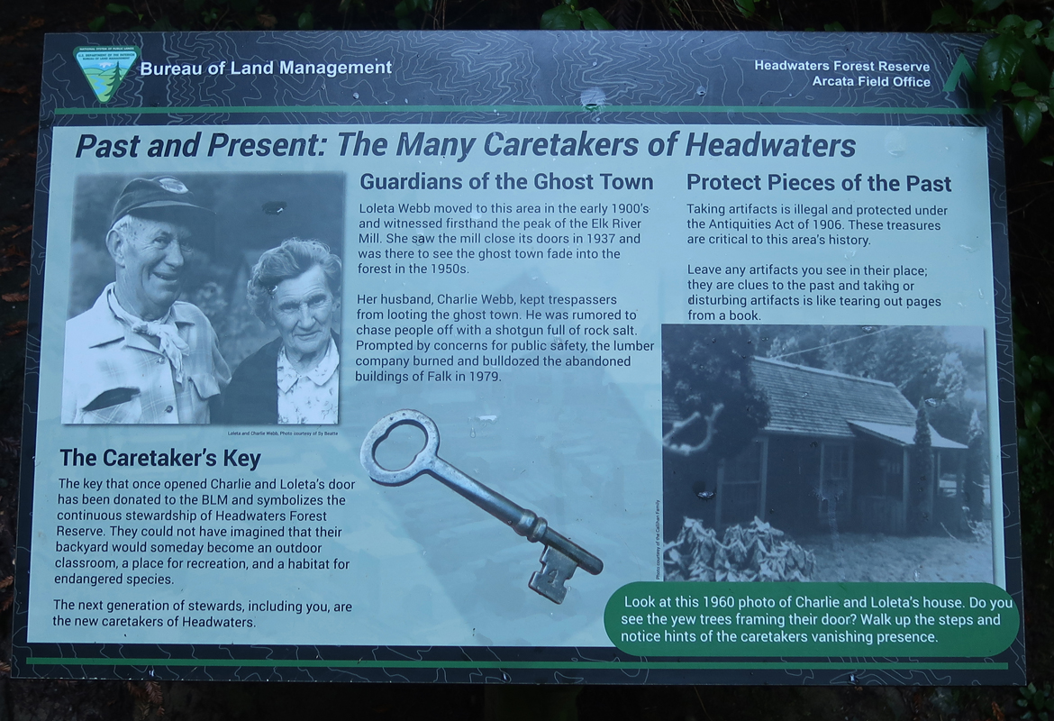
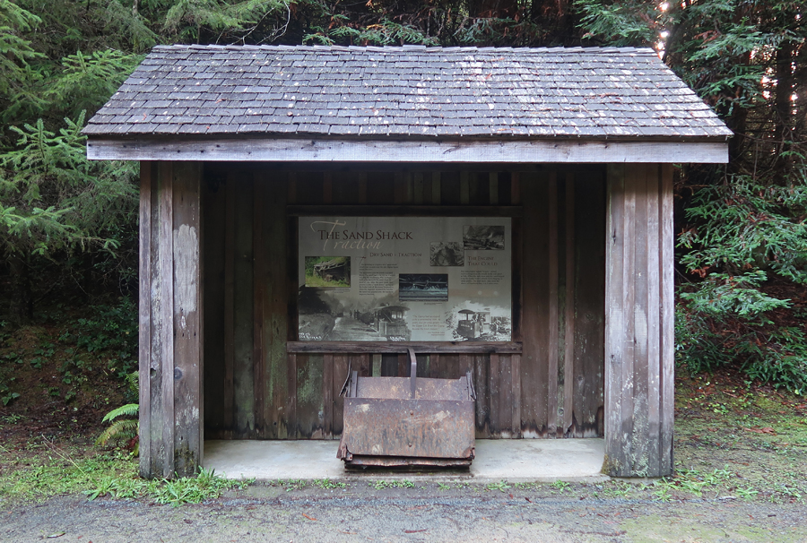
Caretakers of the history of the forest
.
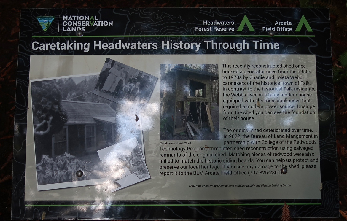
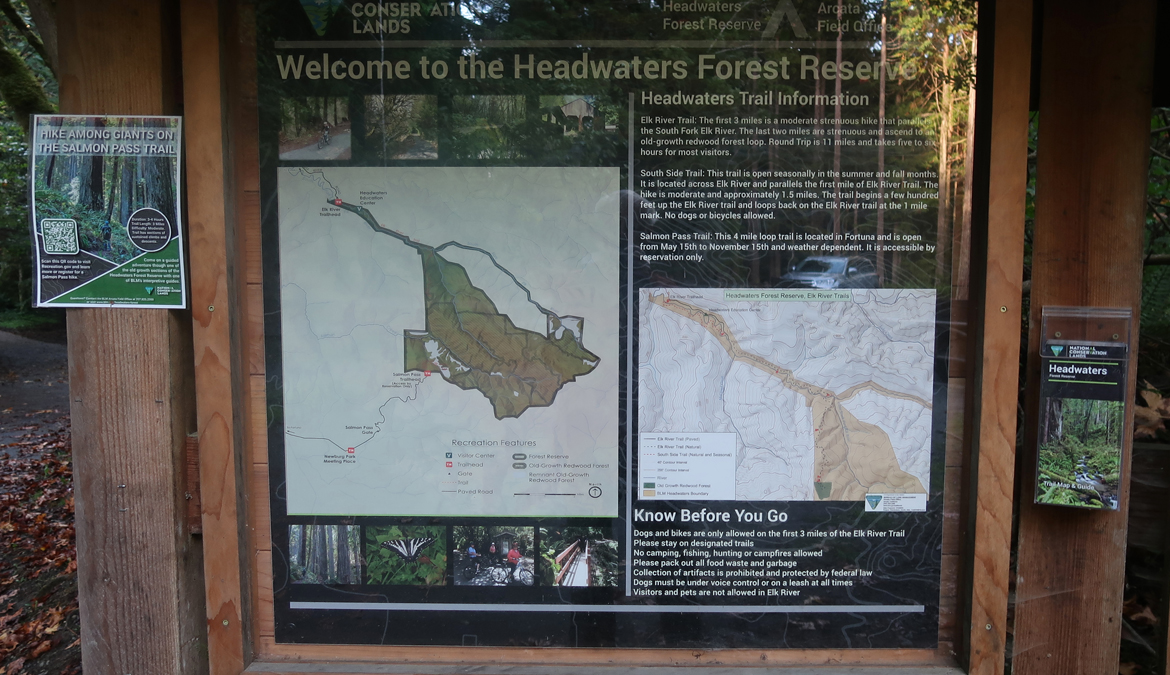
The Headwaters Education Center tells the story of the forest –
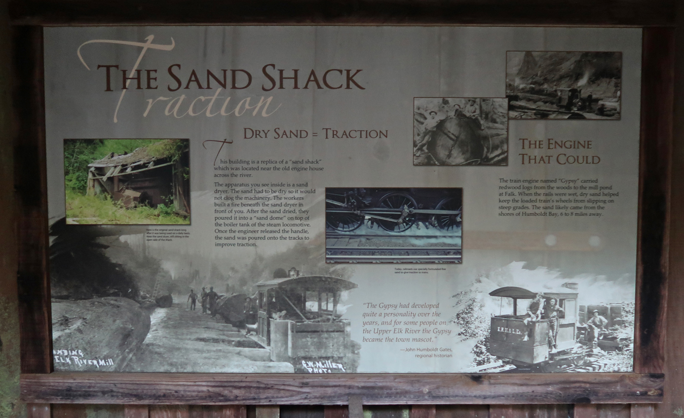
It was a locomotive barn in the town of Falk.
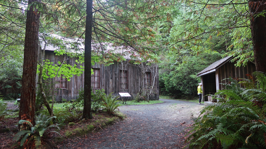
The logging and lumber mill town of Falk is on the National Register of Historic Places.
.
.
Returning to the trailhead –
.
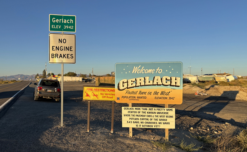
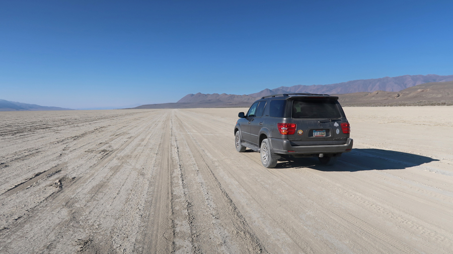
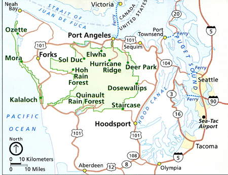
It took 2-hours to drive S on Rt-101 and then W on secondary roads to Cape Mendocino – the furthest western point of the Continental USA – see top left of map.
.
.
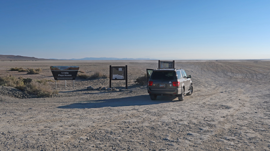
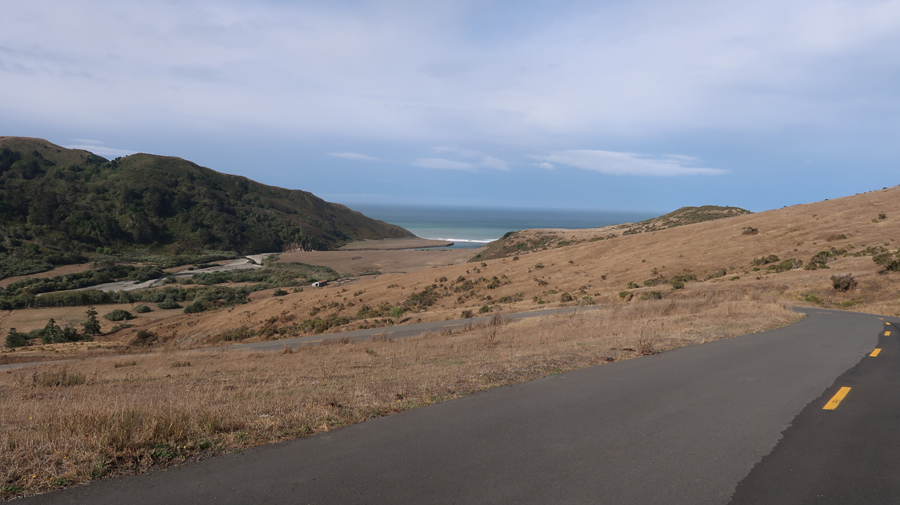
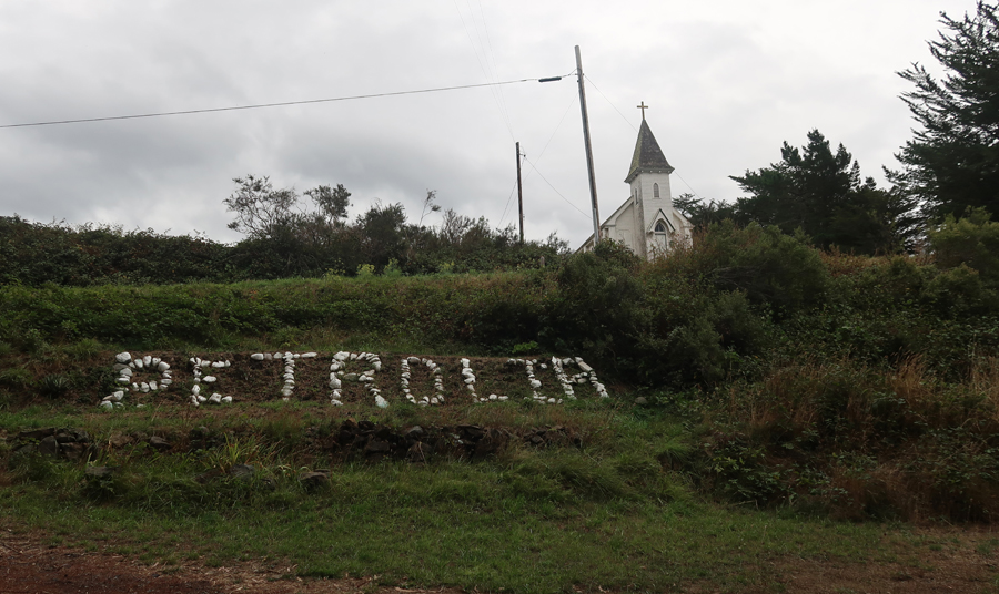
Proceeded S to Petrolia
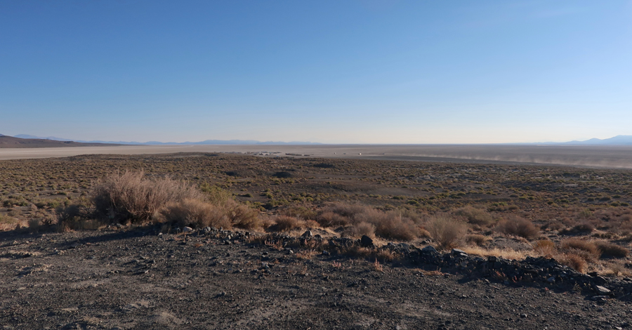
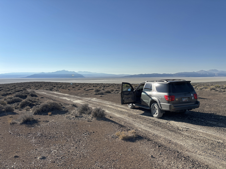
Then W to the Punta Gorda Region in King Range NCA
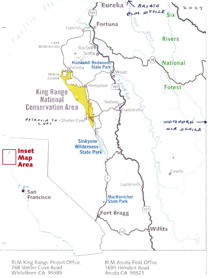
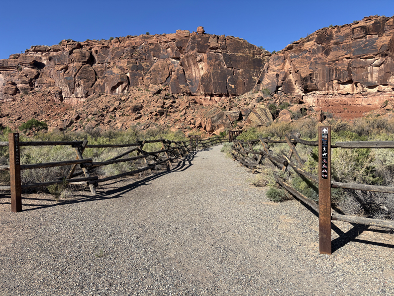
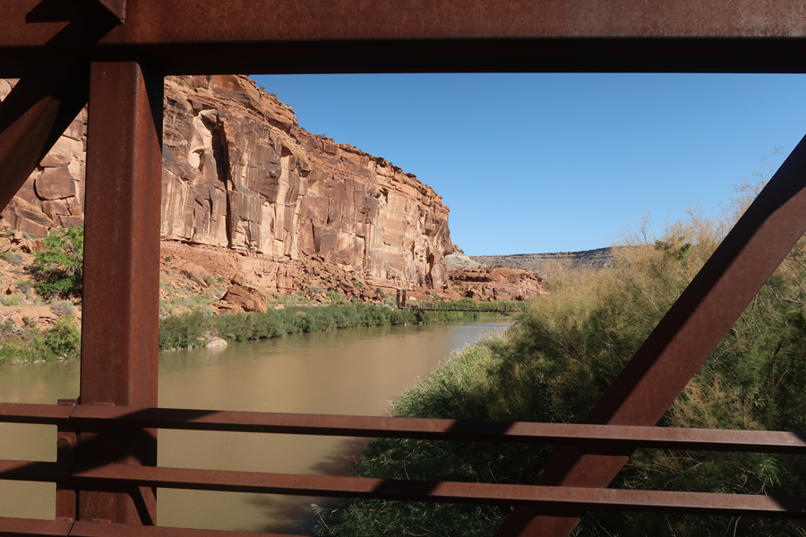
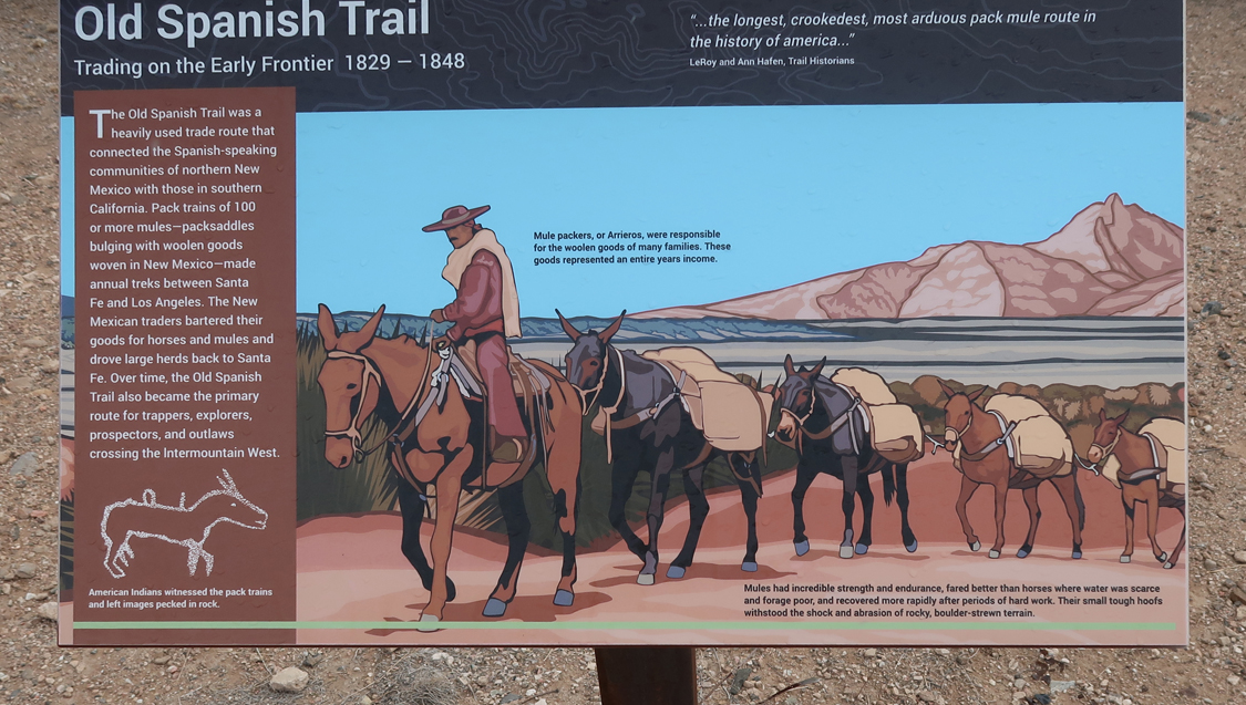
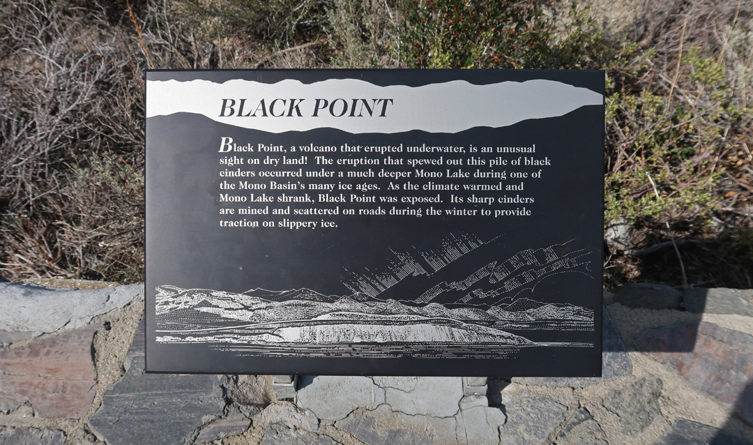
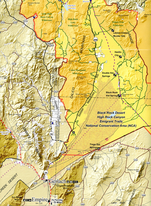
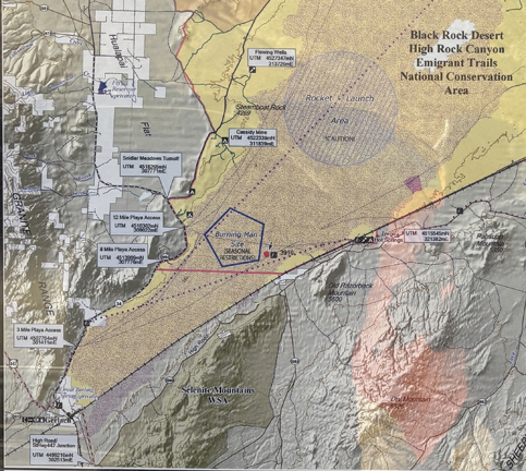
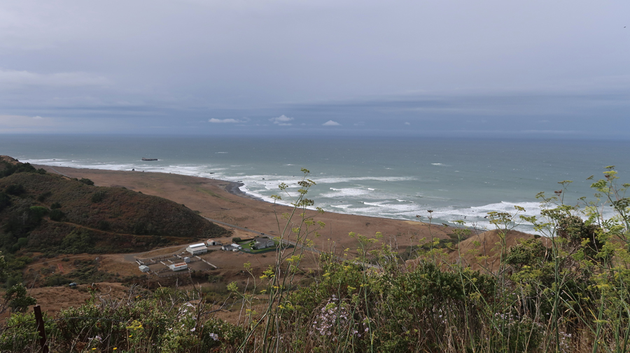
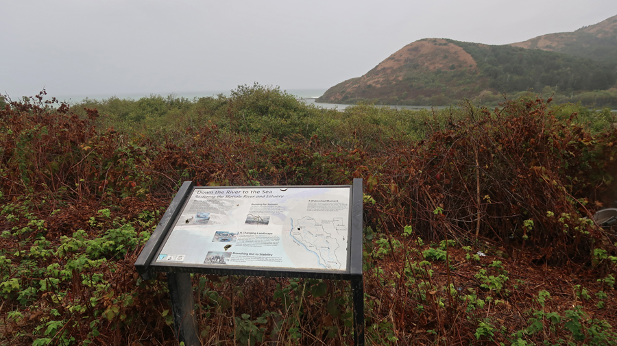
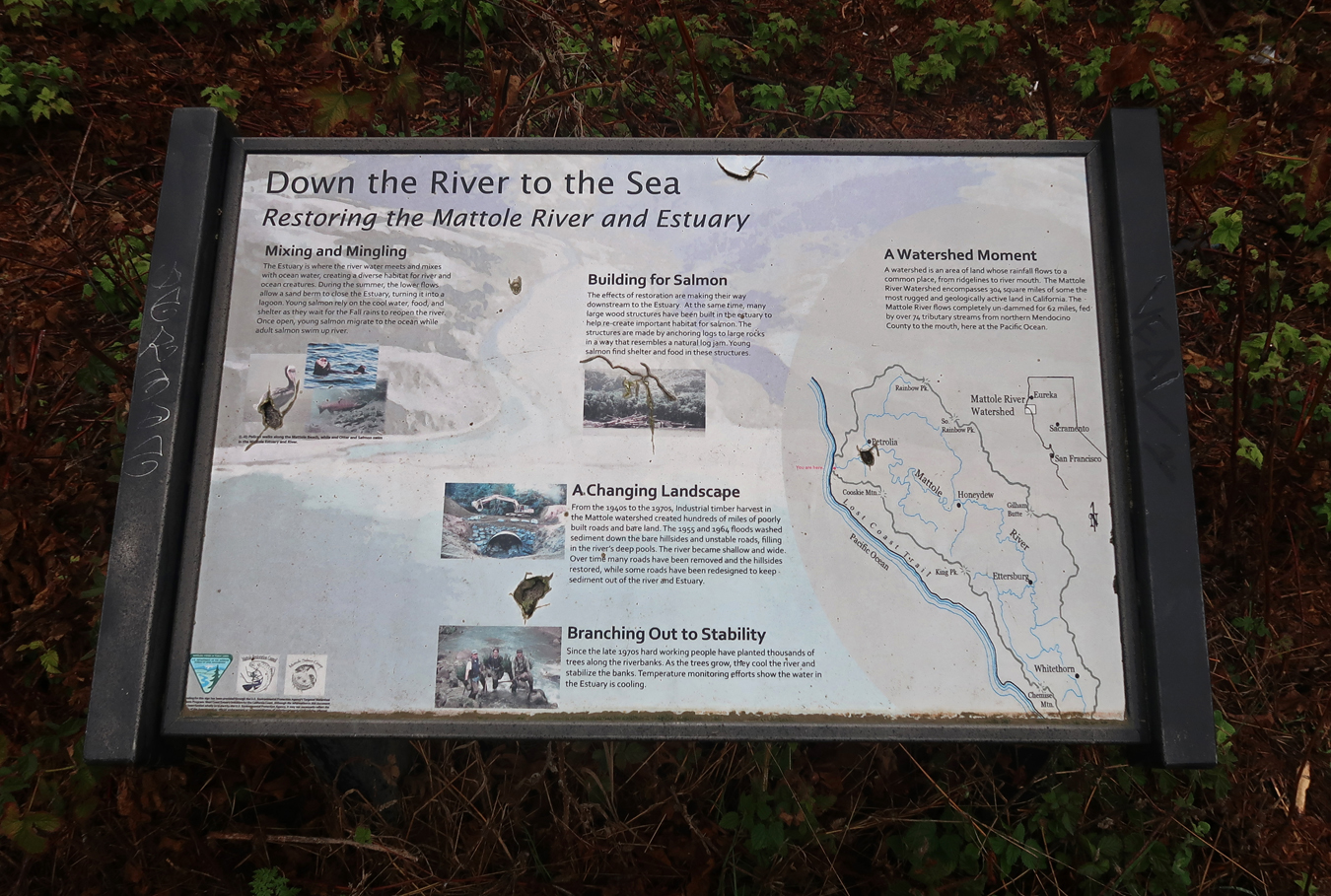
“The King Range National Conservation Area (NCA) is a spectacular meeting of land and sea as mountains thrust straight out of the surf with King Peak (4,088 feet) only three miles from the ocean. The King Range NCA encompasses 68,000 acres along 35 miles of California’s north coast. The landscape was too rugged for highway building, giving the remote region the title of California’s Lost Coast. It is the Nation’s first NCA, designated in 1970.” View of Mattole River and Estuary.
.
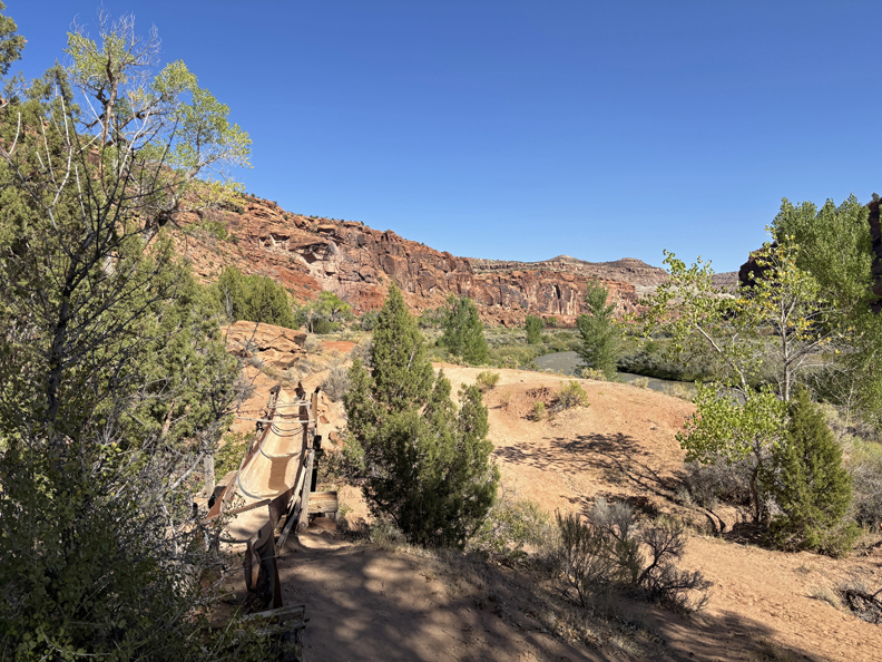
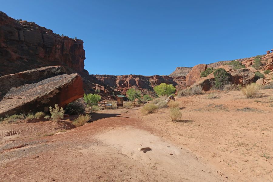
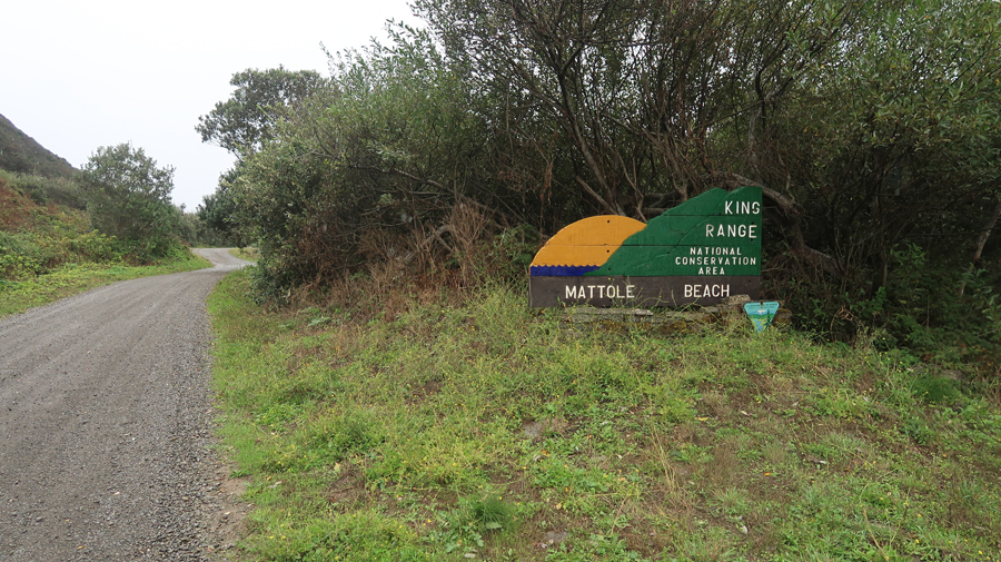
We continued on a gravel road to Mattole Beach in the King Range NCA.
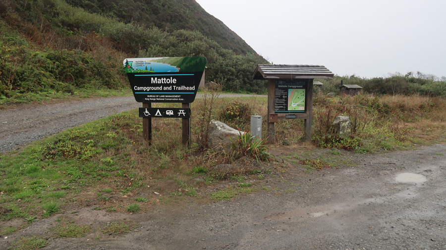
Campground and Trailhead –
Raining and Cold!
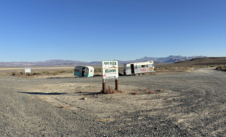
Backtracked toward Petrolia, then drove S to Honeydew and E to Humbolt Redwoods SP.
.
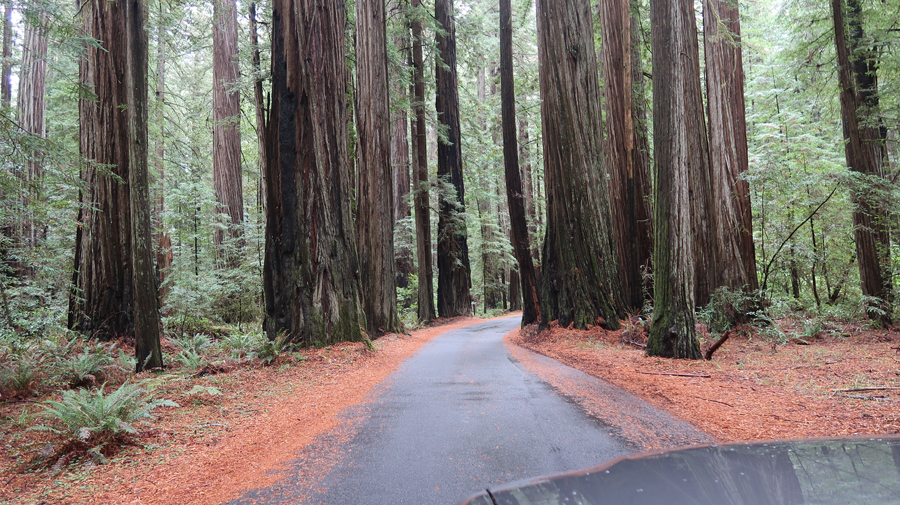
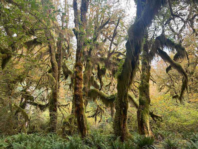
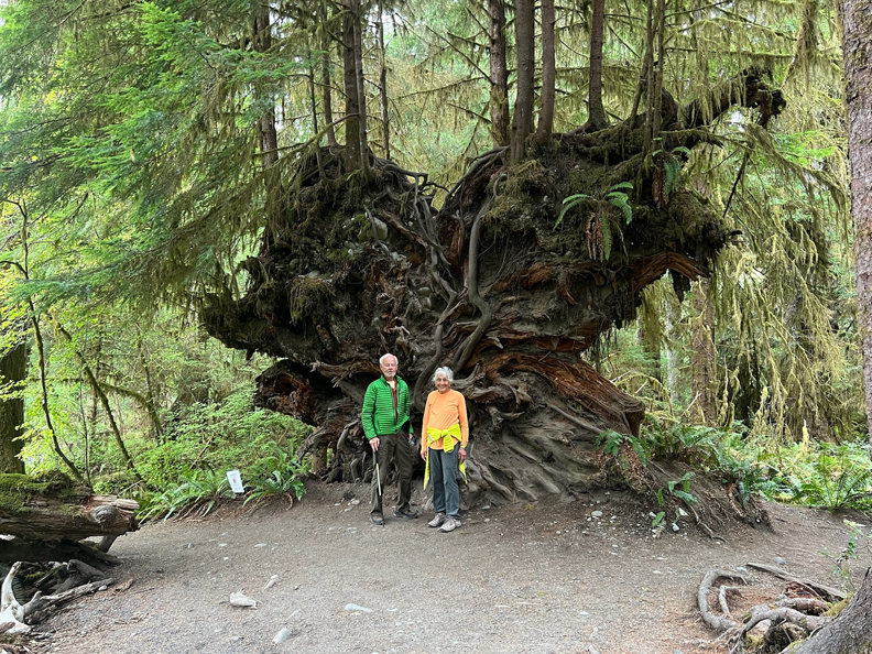
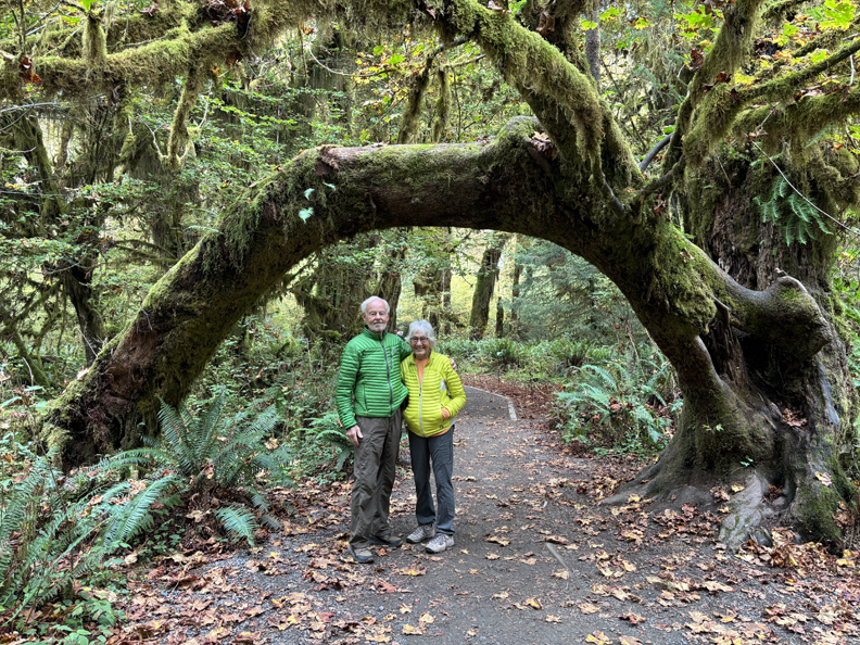
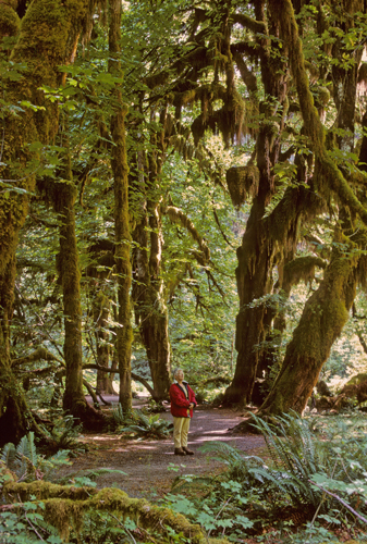
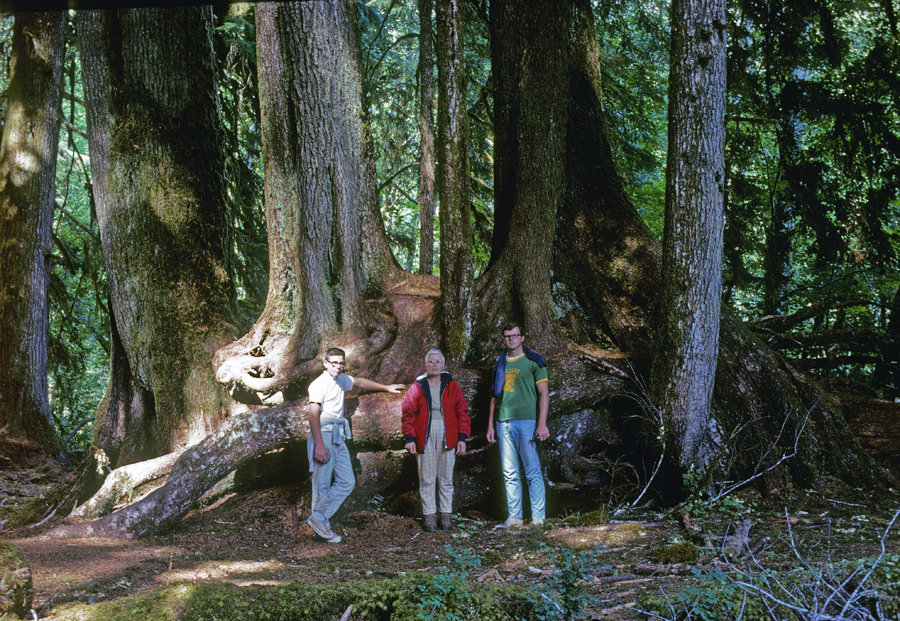
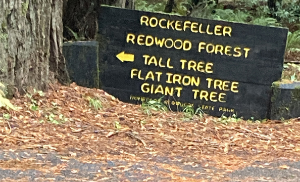
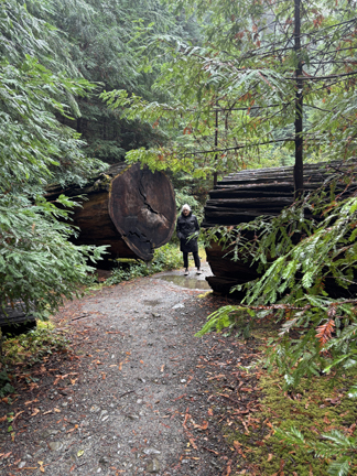
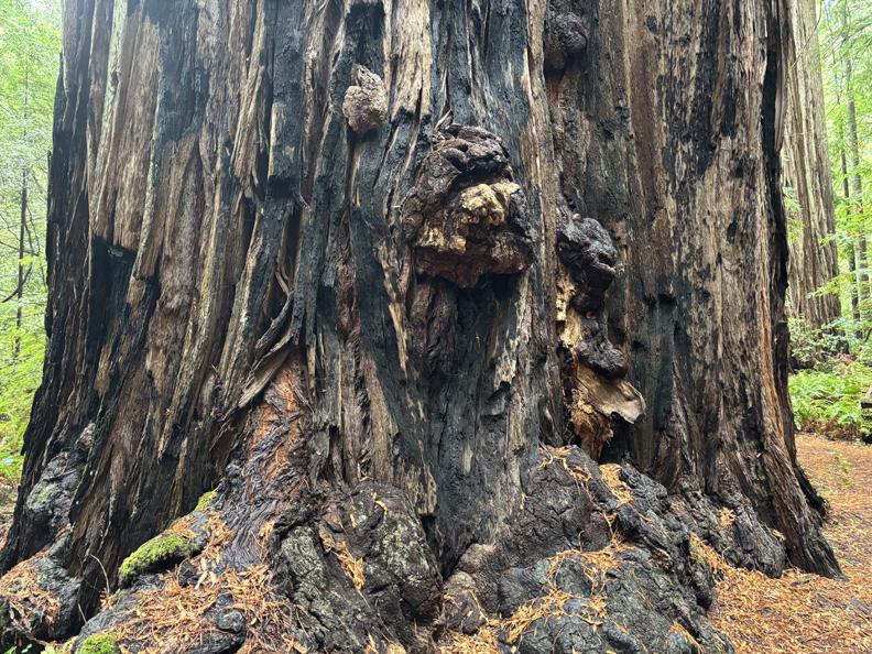
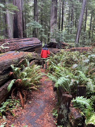
We had not intended on stopping here but could not resist doing a loop trail in the Rockefeller Redwood Forest.
.
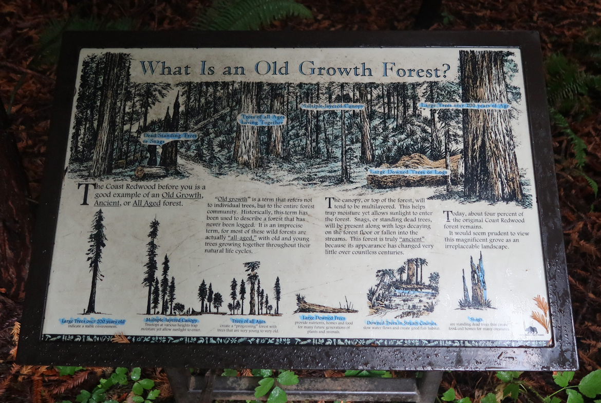
This is an “Old Growth Forest”
.
This hike made for a more difficult late-night drive to Lassen NP, but it was worth it –
.
.
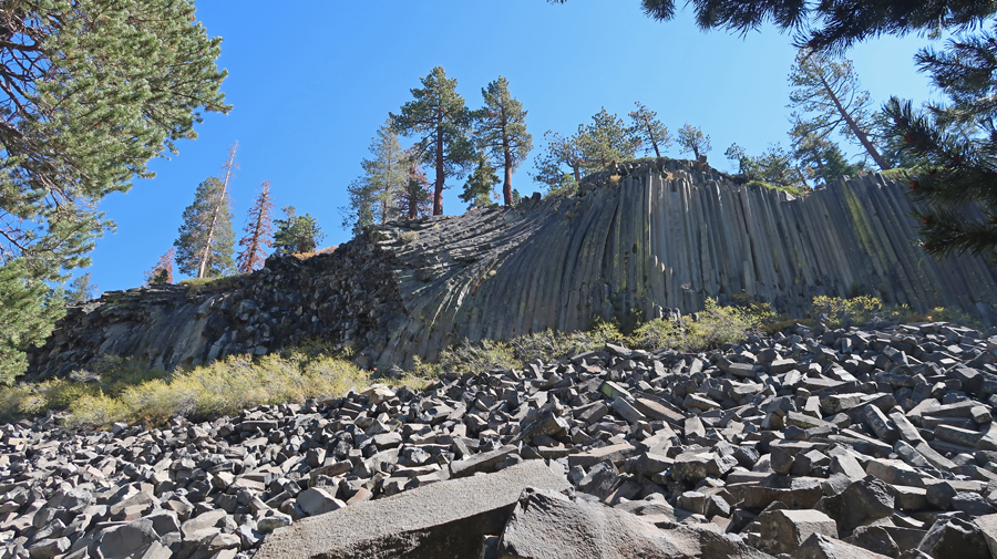
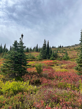
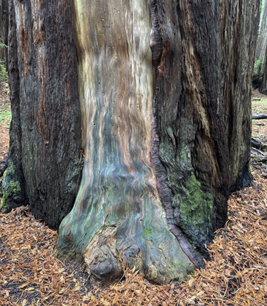
Check out the colors –
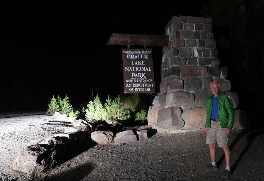
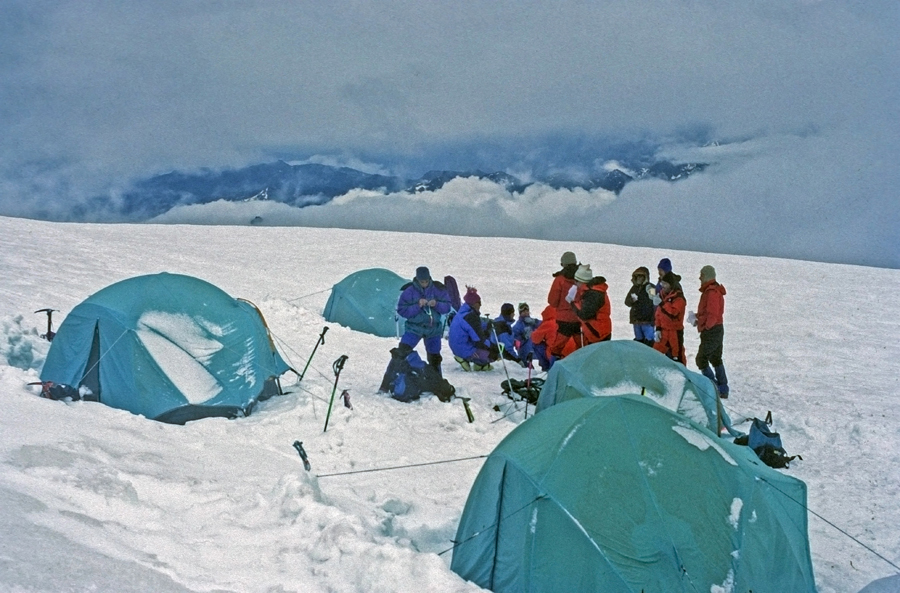
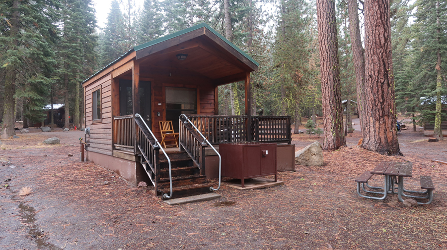
We now had a 250-mile drive to Lassen Volcanic NP. We arrived at the north entrance at about 11pm and went searching for our cabin at Manzanita Lake. After driving the loop twice in a light rain, I decided to walk the loop using the light from my phone. Finally, I found #8, a bare bones cabin with no water, but it did have two thin mattresses where we could lay our sleeping bags.
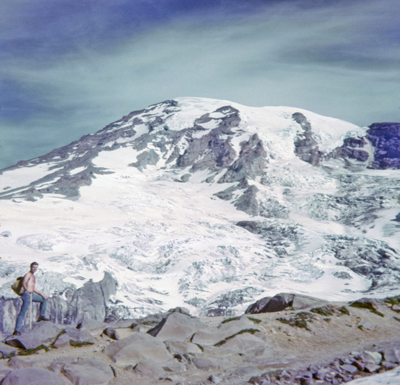
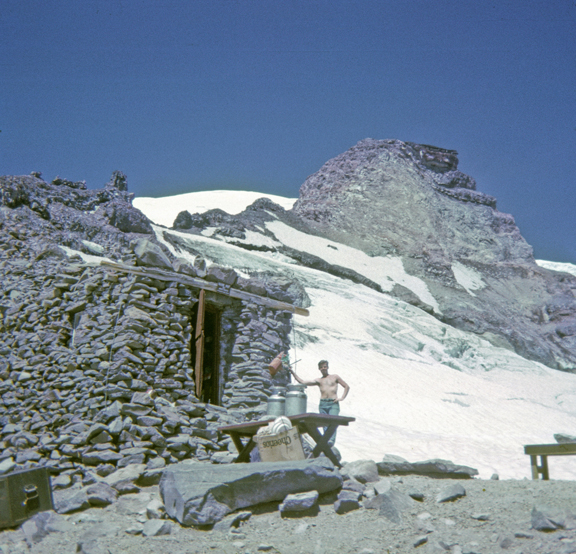
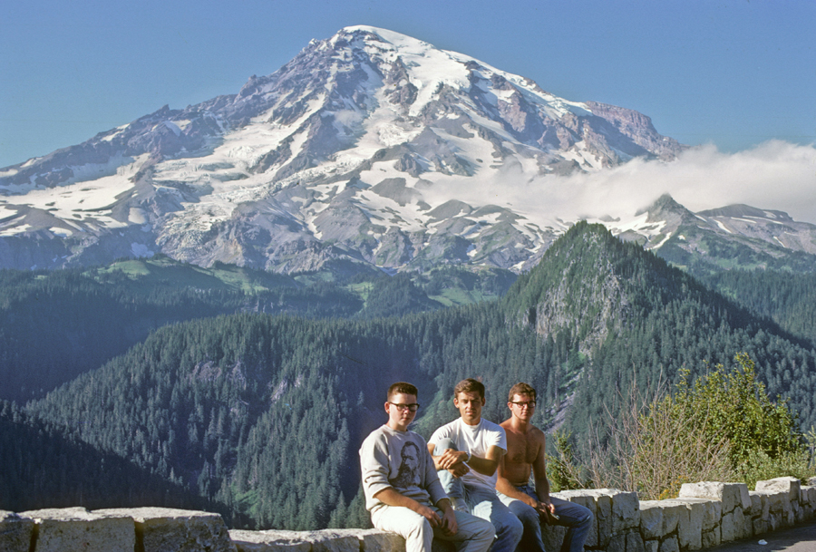
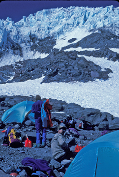
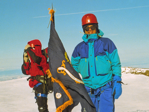
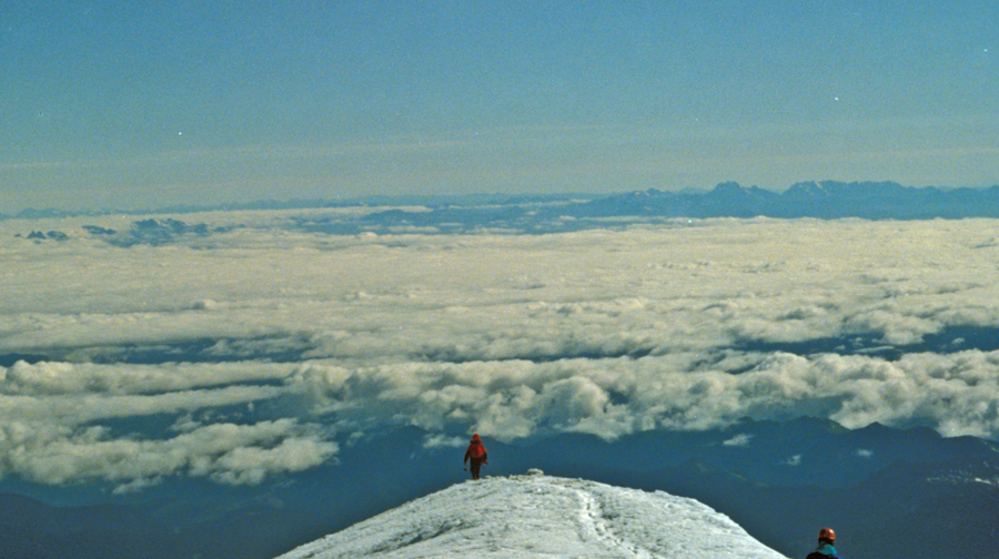
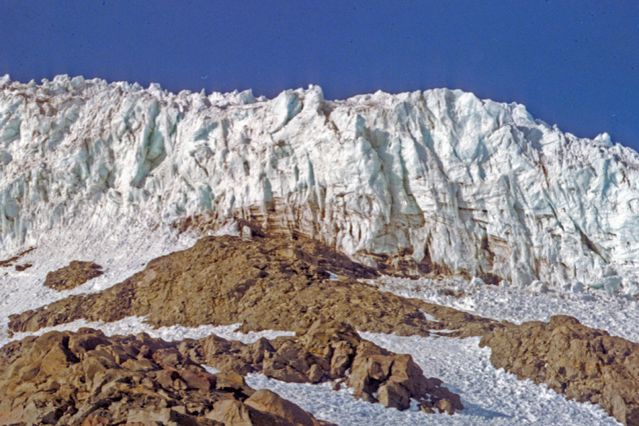
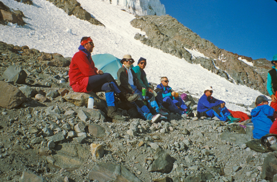
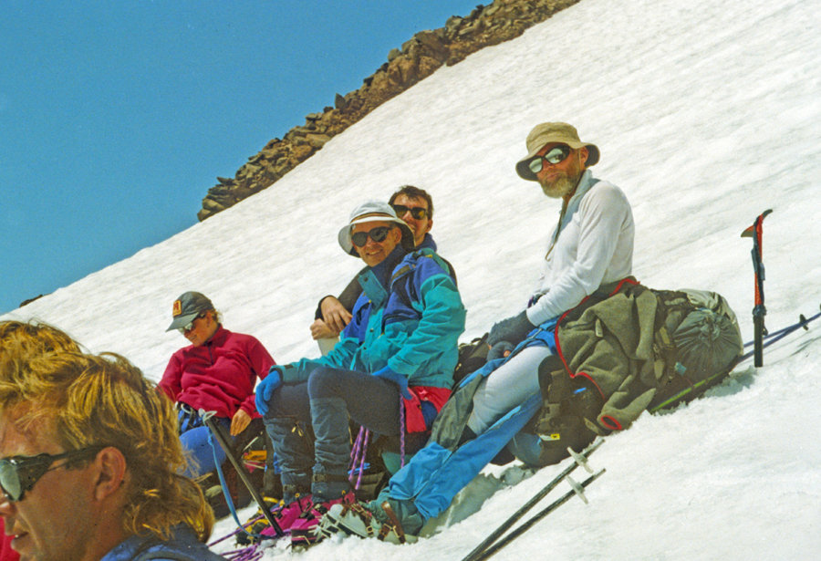
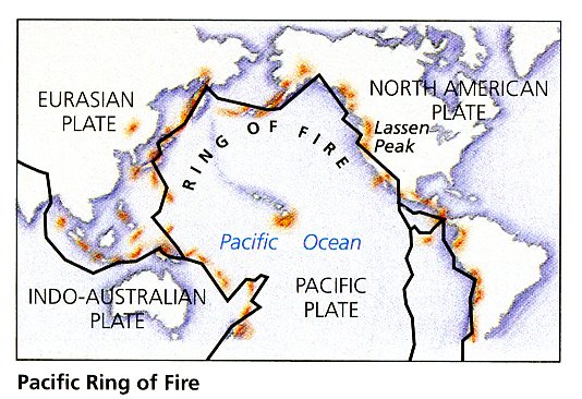
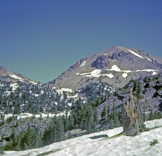
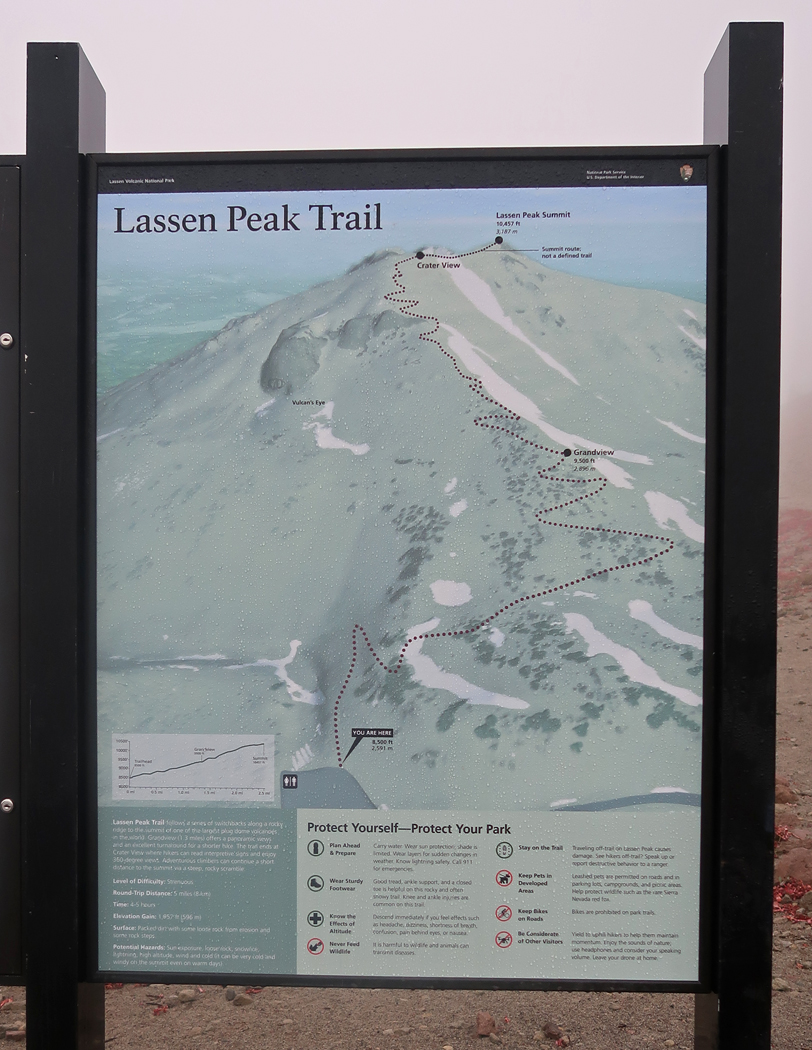
10/1 W – Jay and I visited Lassen Volcanic NP in 1967. Lassen Peak (10,457ft) is part of the Pacific Ring of Fire surrounding the Pacific Ocean. It last erupted 1914-1916.
.
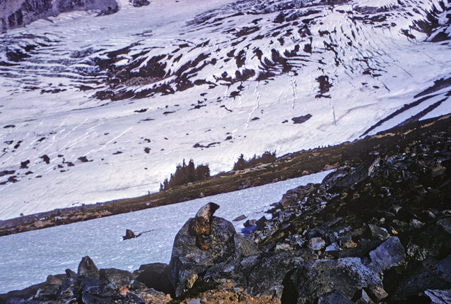
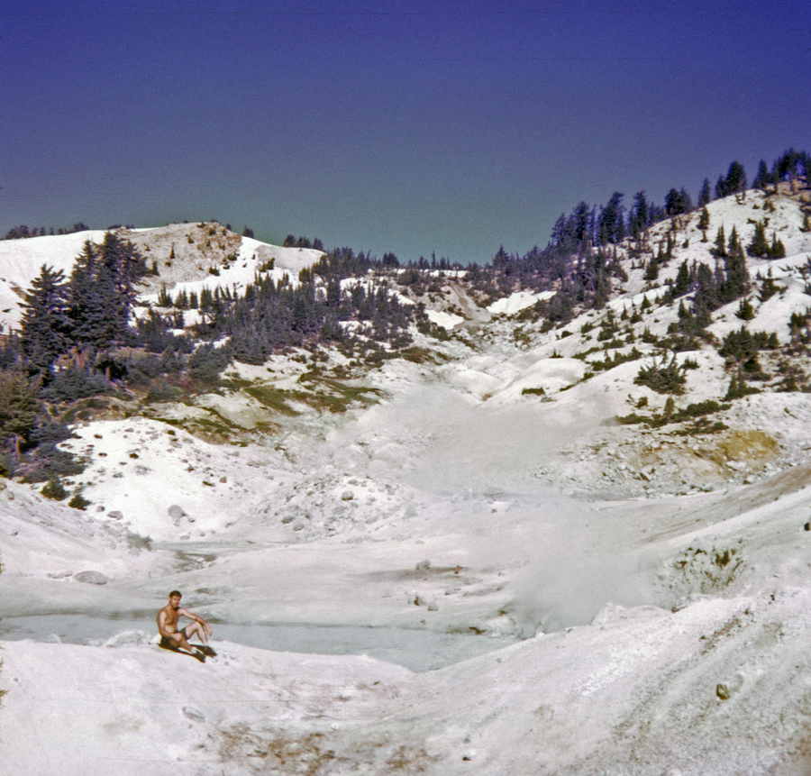
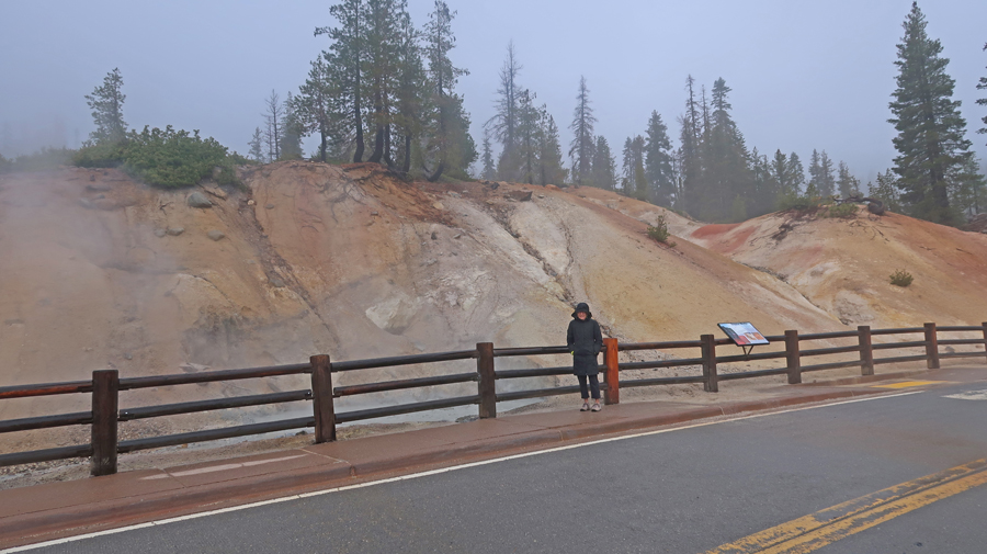
Our first hike was 2.6-miles rt to the Bumpass Hell thermal area.
.
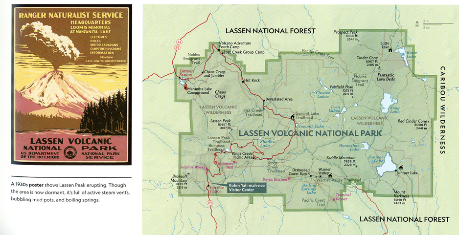
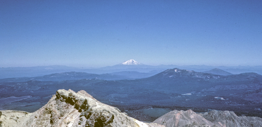
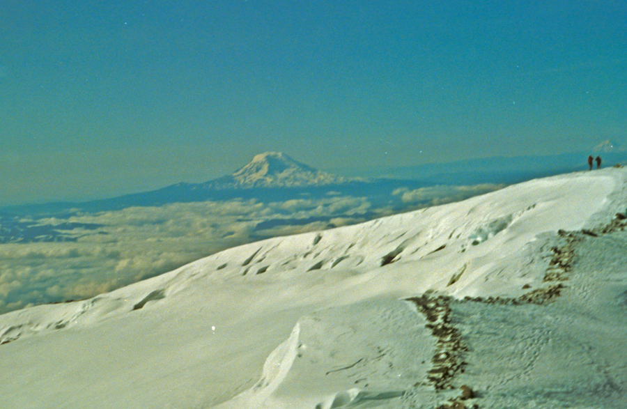
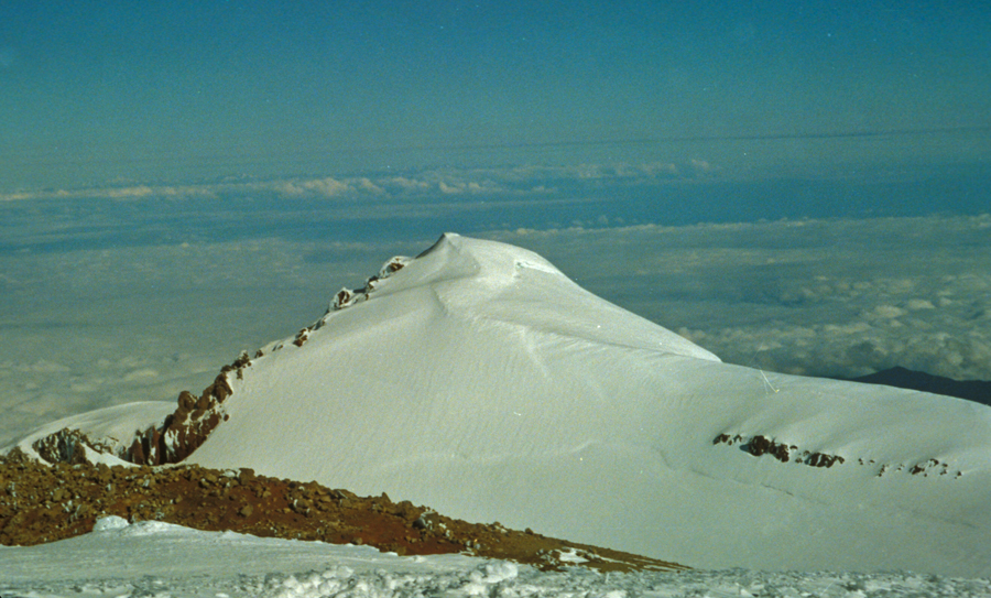
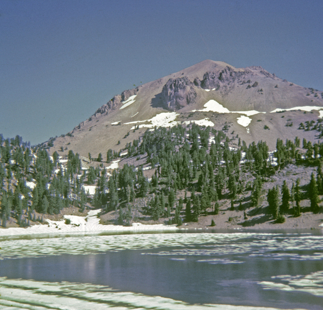
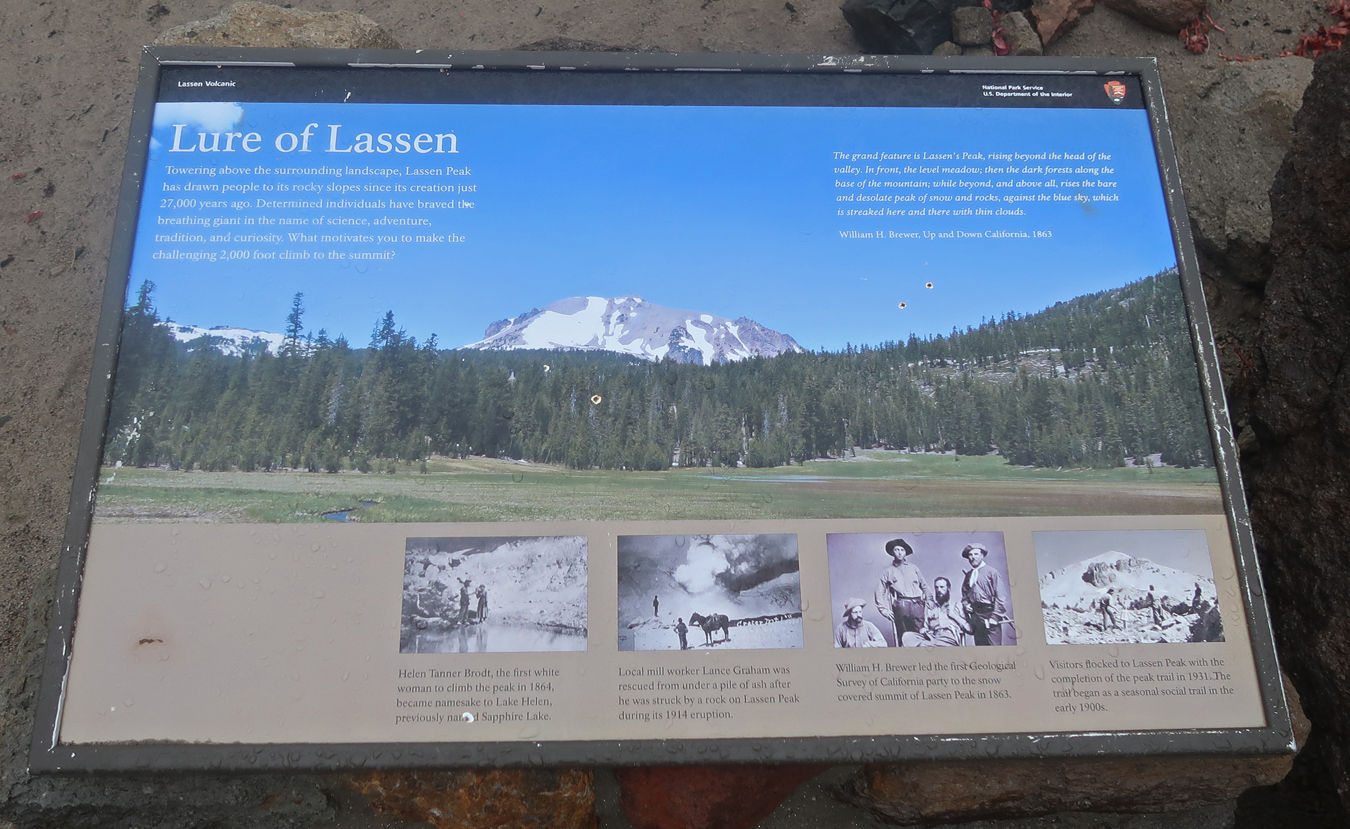
Photo of Lassen Peak from Lake Helen – Then we did the 2.5-mile trail to the top of the Lassen Peak (2K gain) and then had a race running down the scree on the slopes of the dormant volcano. That is no longer allowed, now you must take the trail down. Lassen Peak from Lake Helen –
.
Today, 10/1/25, was a cold, rainy, windy day and it limited our activities. Photo of our cabin –
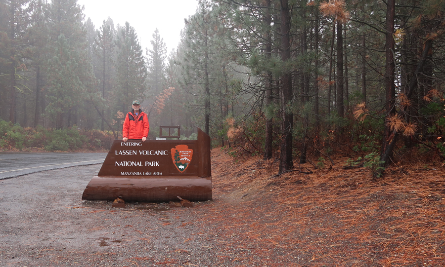
NW Park entrance sign –
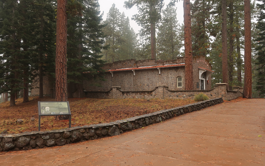
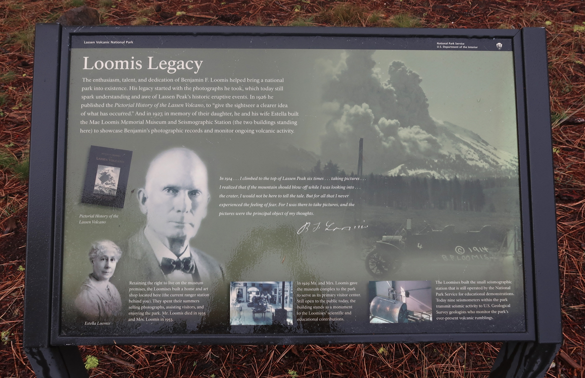
Loomis Museum
.
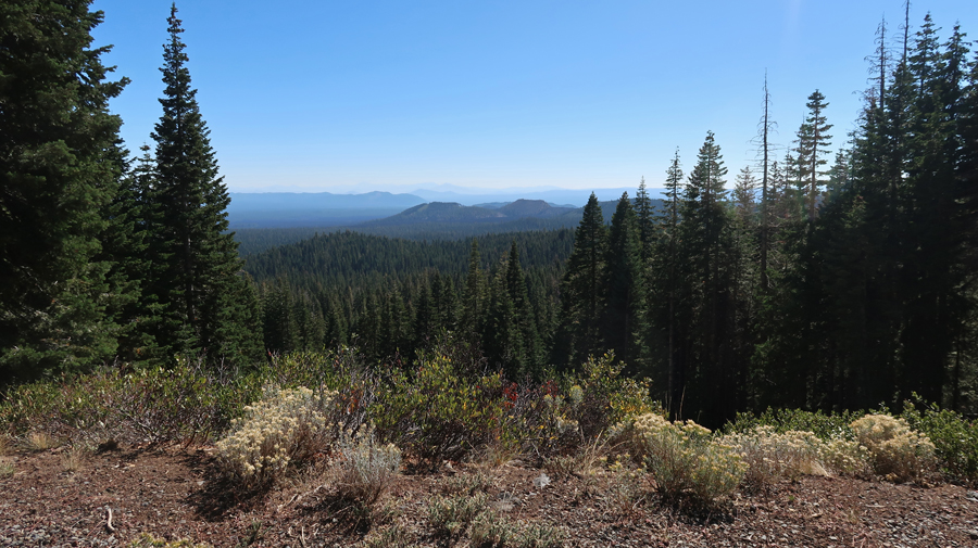
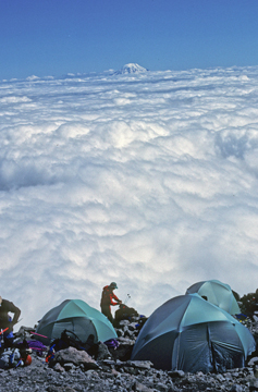
Driving Rt-89, the park road, through the park at the speed limit would take 1.5 hours. Of course, you SHOULD stop, enjoy the scenery, read descriptive signs/markers, take a walk, hike to a geologic feature, etc. This photo was taken near the highpoint (8,753ft) of the park road.
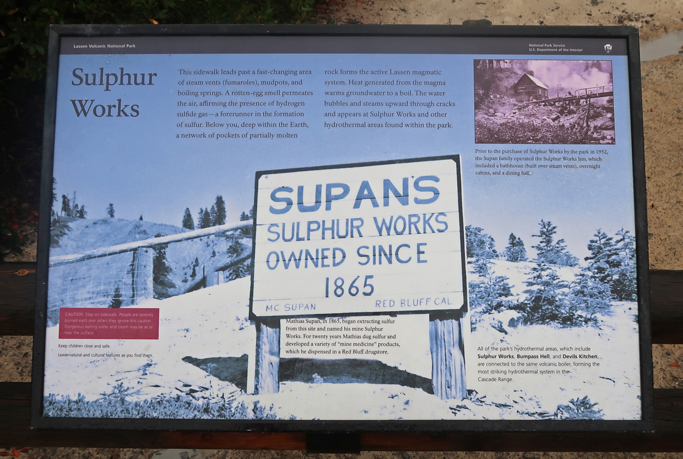
Park Signs/Markers were very informative –
.
Photos taken at Lake Helen, the trailhead for the Bumpass Hell thermal area –
.
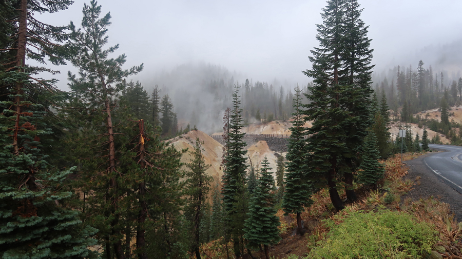
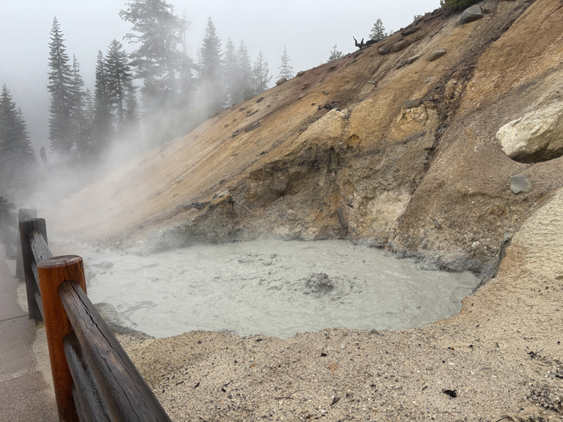
Boiling Mud Pot –
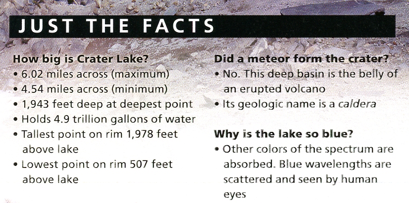
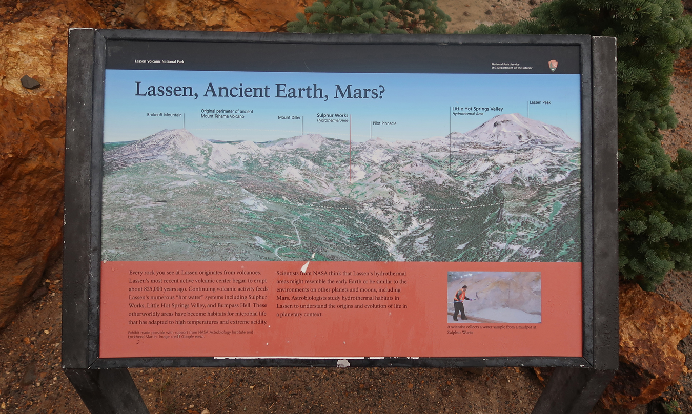
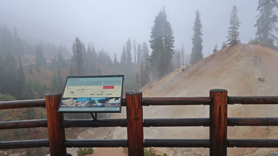
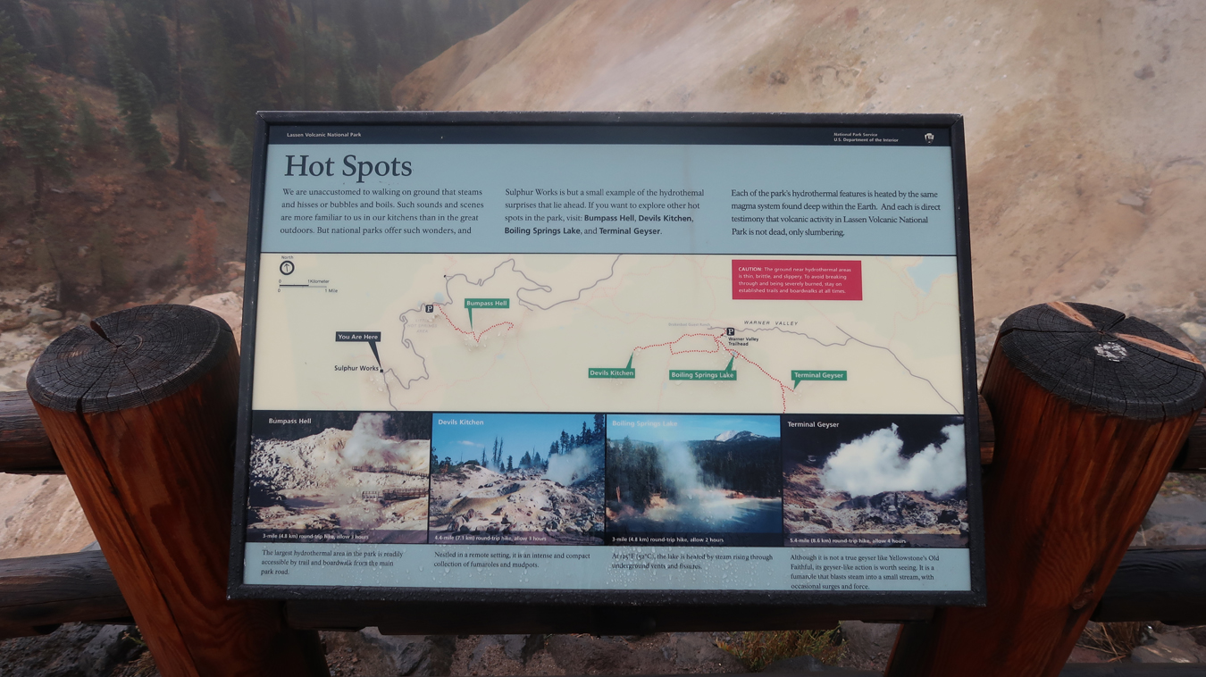
Lassen Volcanic NP – “Hot Spots”
.
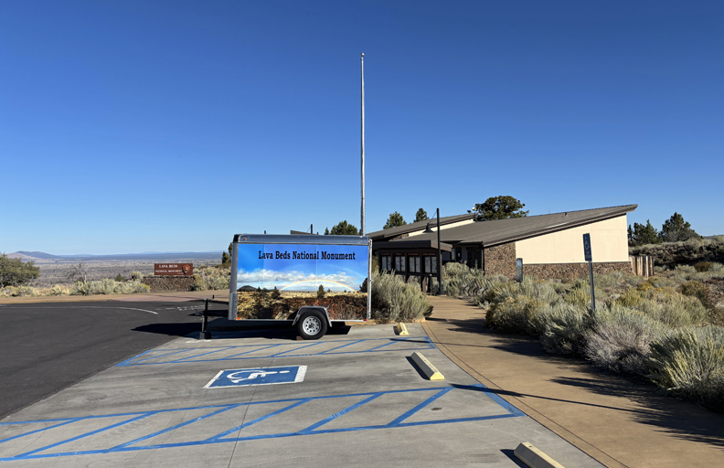
The Kohm Yah-Mah-Nee Visitor Center was closed, because of the government shut down, but a maintenance man was kind enough to bring out the park stamp so we could use it on our brochure. The above were my last two photos before leaving the park for Reno NV. We then took I-80 east to Elko NV where we had a reservation at the Esquire Inn.
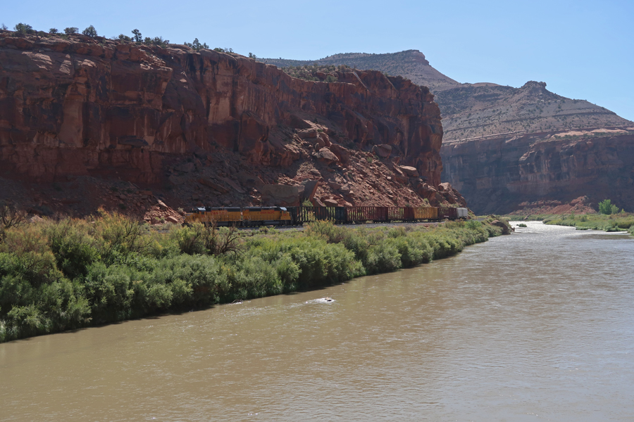
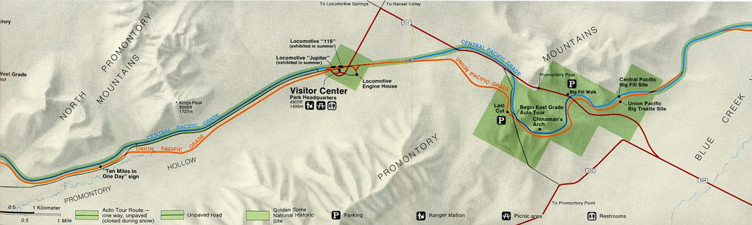
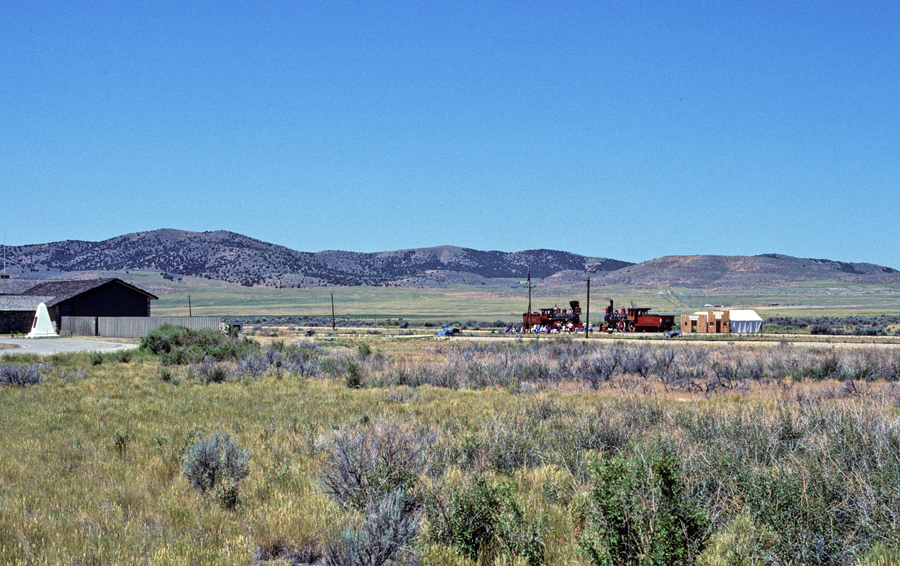
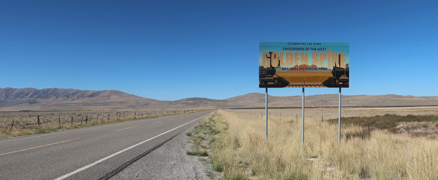
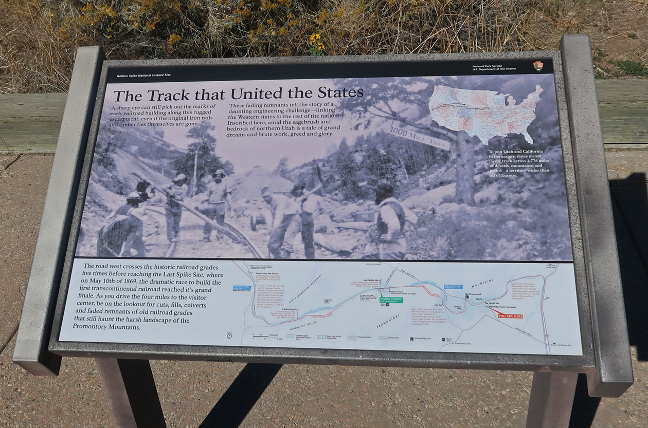
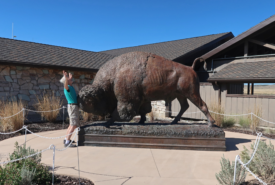
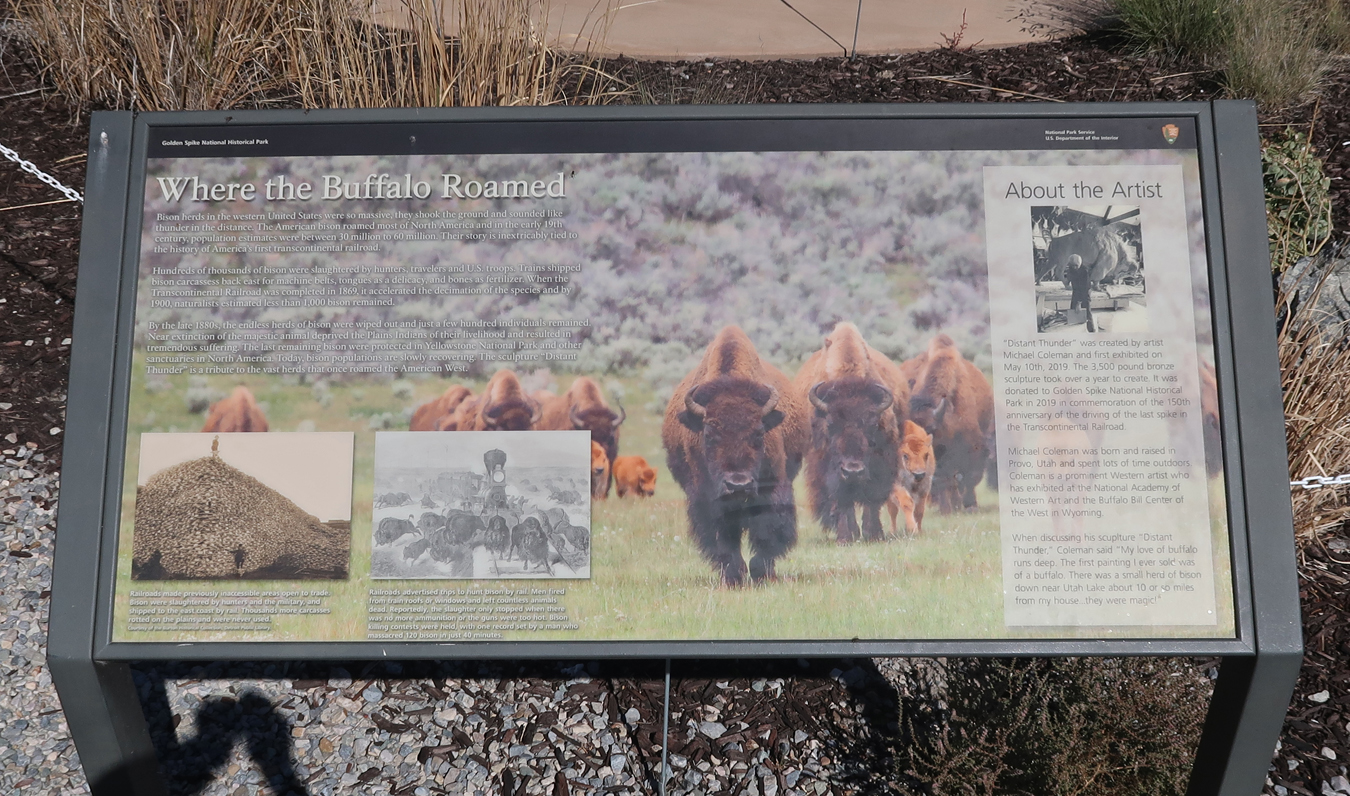
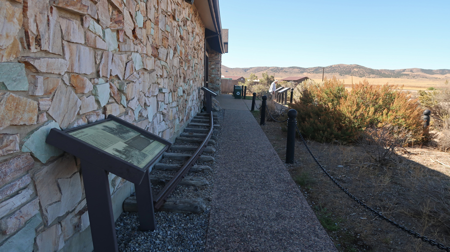
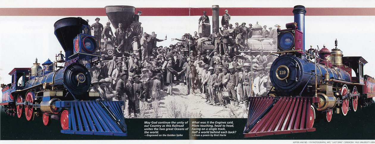
10/2 Th – Lost one hour going from Pacific Coast time CA to Mountain time. Arrived at Golden Spike NHS in UT at 2pm.
.
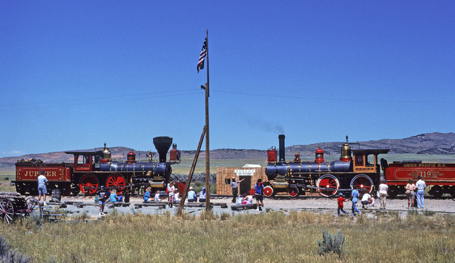
I was here in 1991 and saw a re-enactment of the meeting of the steam engines “Jupiter” (Central Pacific RR) and #119 (Union Pacific RR) at Promontory Summit marking the completion of a U.S. transcontinental railroad (1869).
.
.
Today, because of the government shutdown, the Visitor Center was not open and there was no re-enactment of the symbolic tapping of a golden spike to commemorate the completion of the continent-spanning (1,776-miles) railroad line.
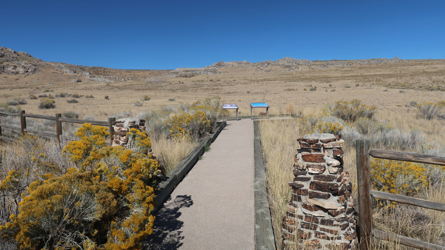
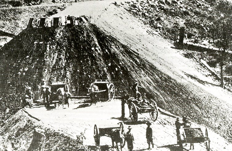
Our first stop in the NHS was at the Big Fill. Using picks and shovels, carts, and one-horse scrapers the laborers filled huge ravines.
.
.
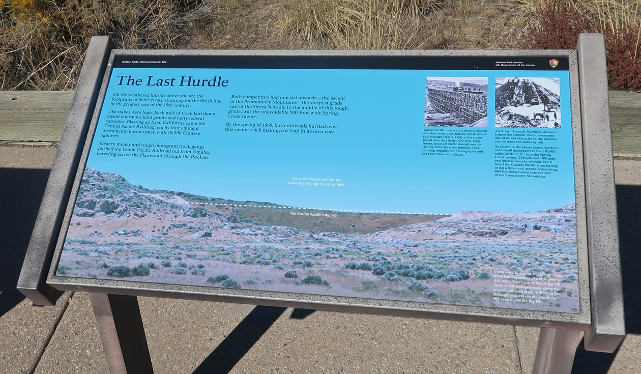
Using picks and shovels, carts, and one-horse scrapers, the laborers filled huge ravines.
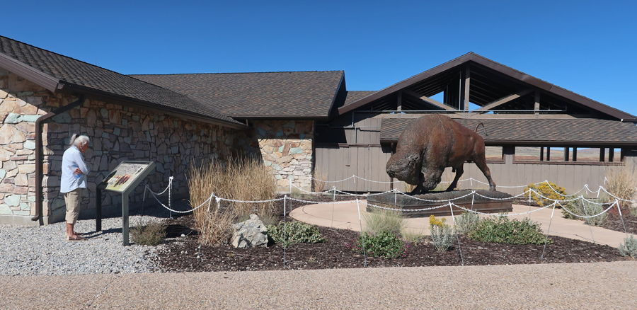
Visitor Center
.
.
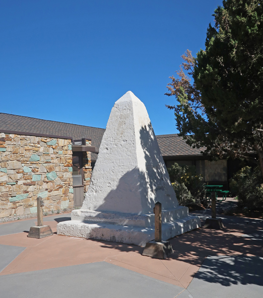
The Southern Pacific RR, formerly the Central Pacific RR, Monument was constructed in 1916. It was moved, repaired, and restored in 2001.
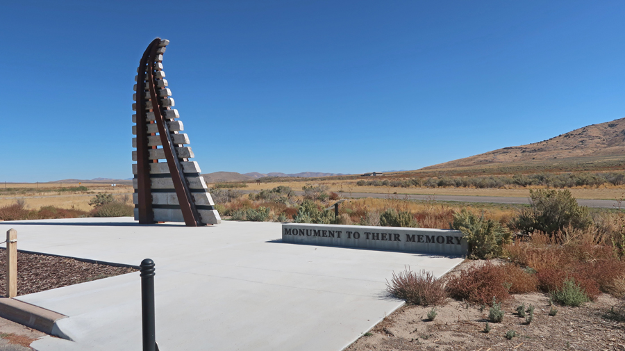
Workers Monument – to Chinese, Irish, German and Italian immigrant laborers.
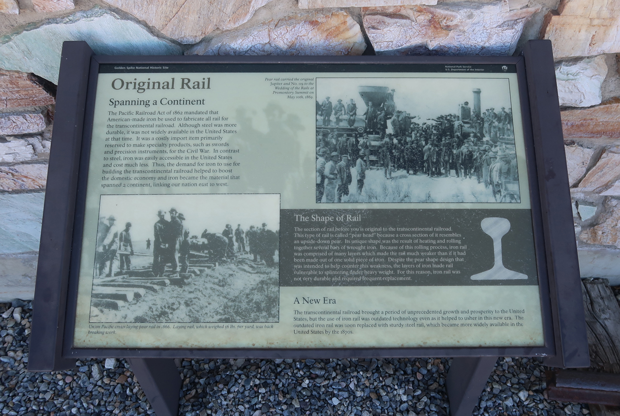
Original Rail
.
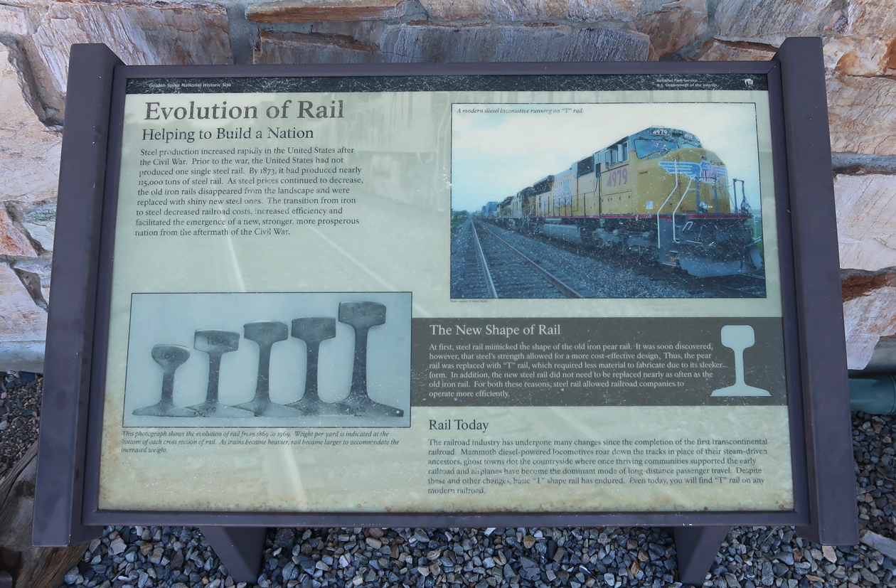
Evolution of the Rail
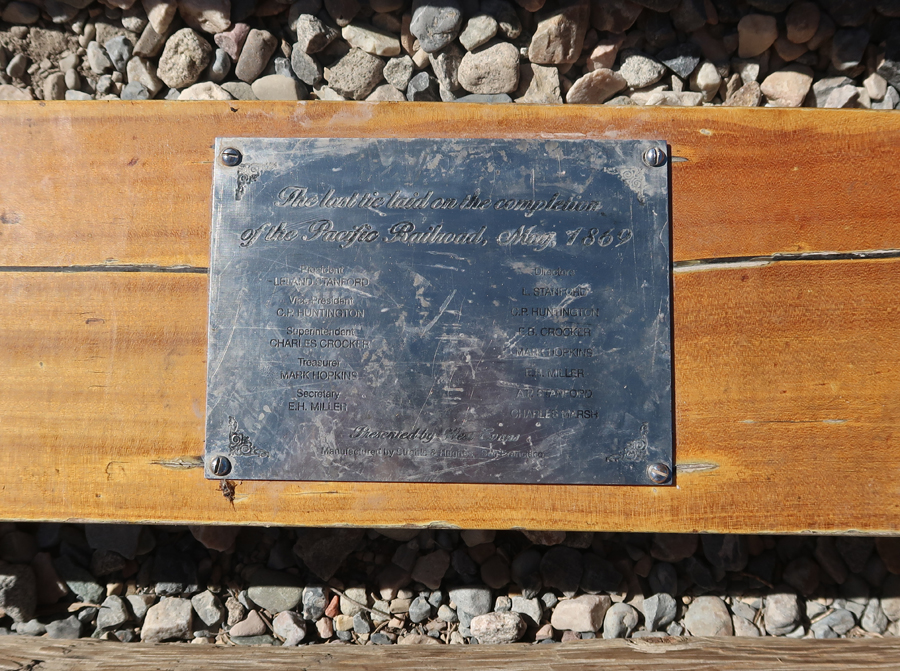
“The last tie laid on completion of the Pacific Railroad May 1869.”
.
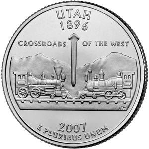
UT State Quarter 2007
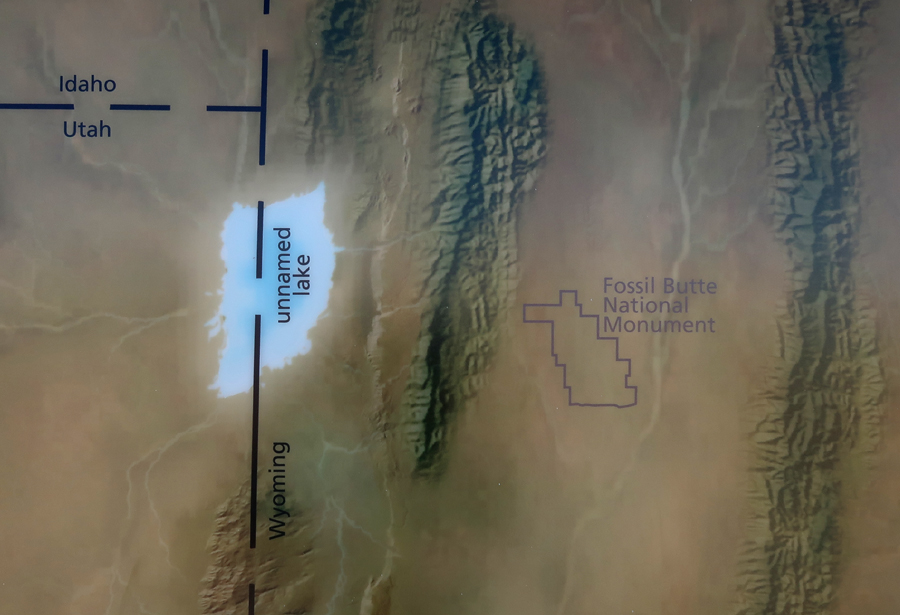
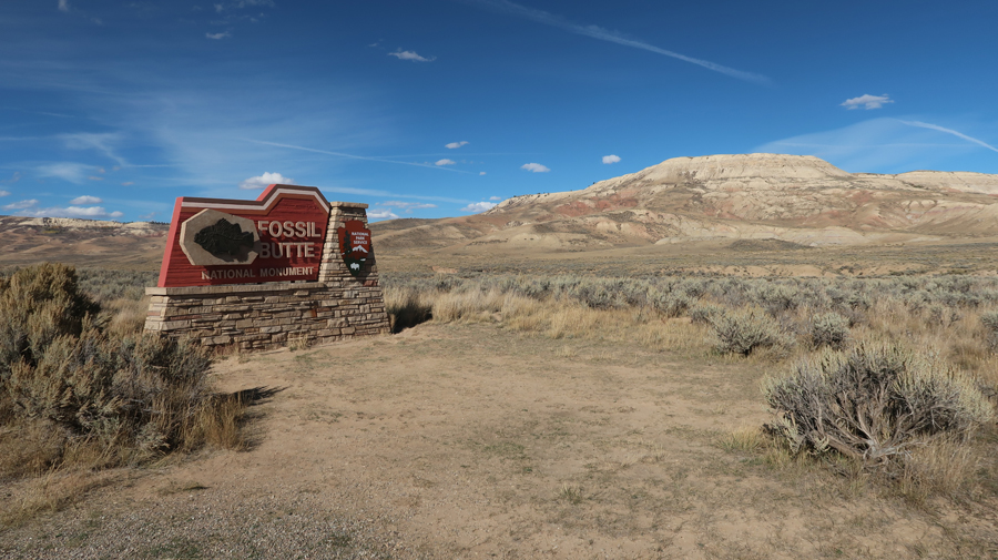
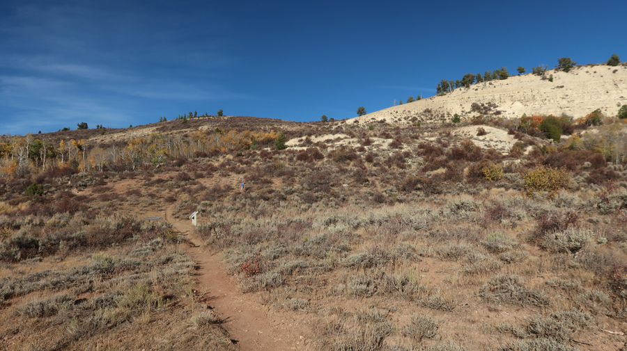
After a 135-mile drive, we arrived at Fossil Butte NM in southwest WY about 4pm.
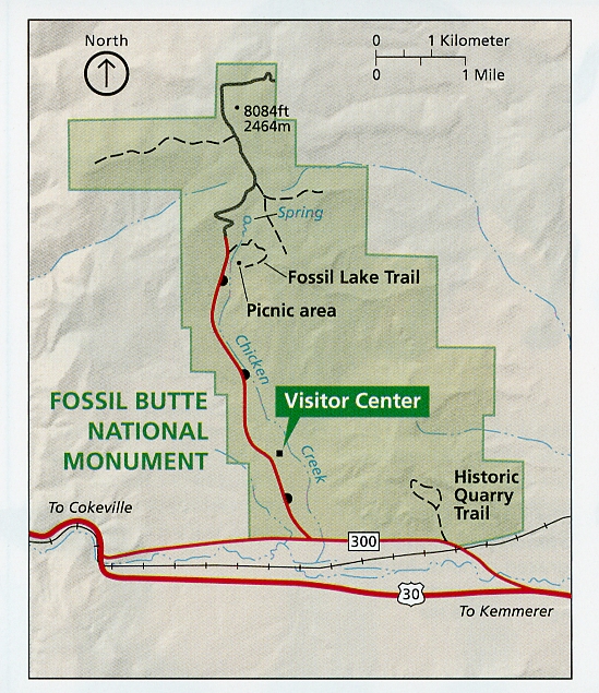
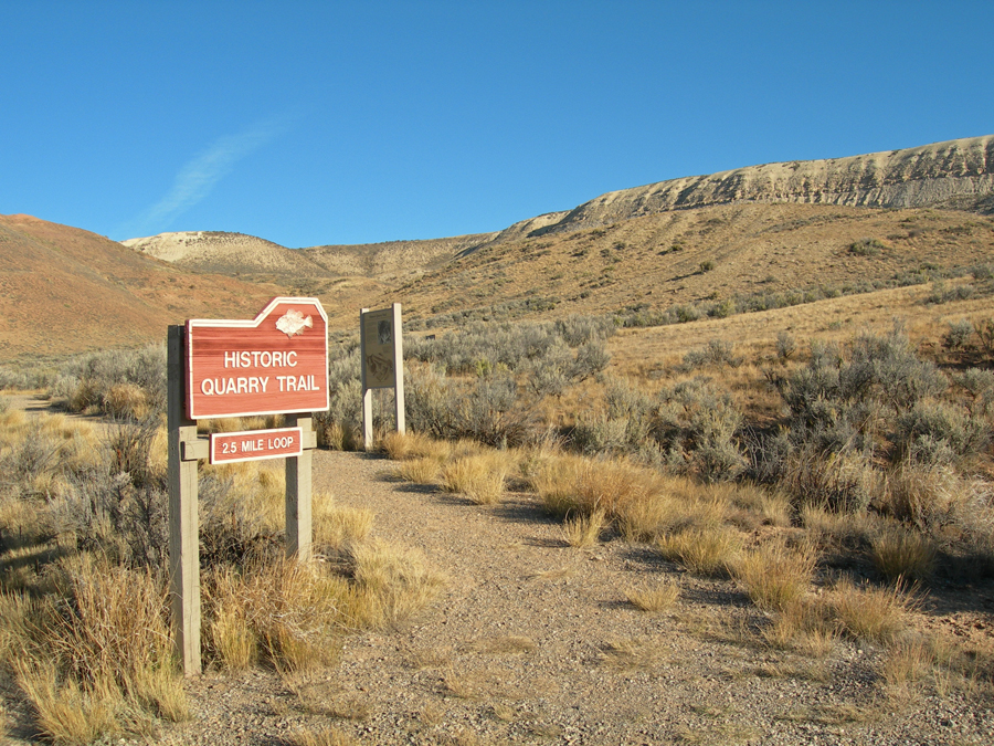
On 9/30/2007, “almost exactly” eighteen years ago, I did the 2.5-mile Historic Quarry Trail.
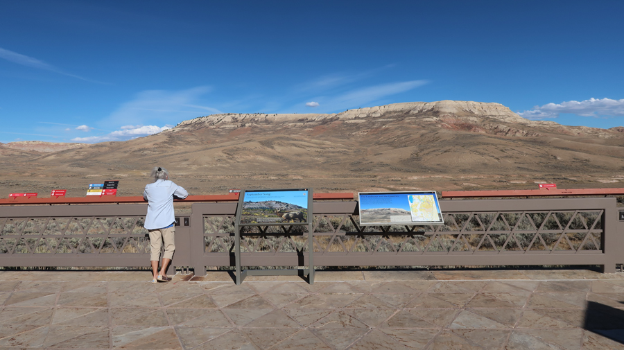
2025 view of Fossil Butte from the West –
.
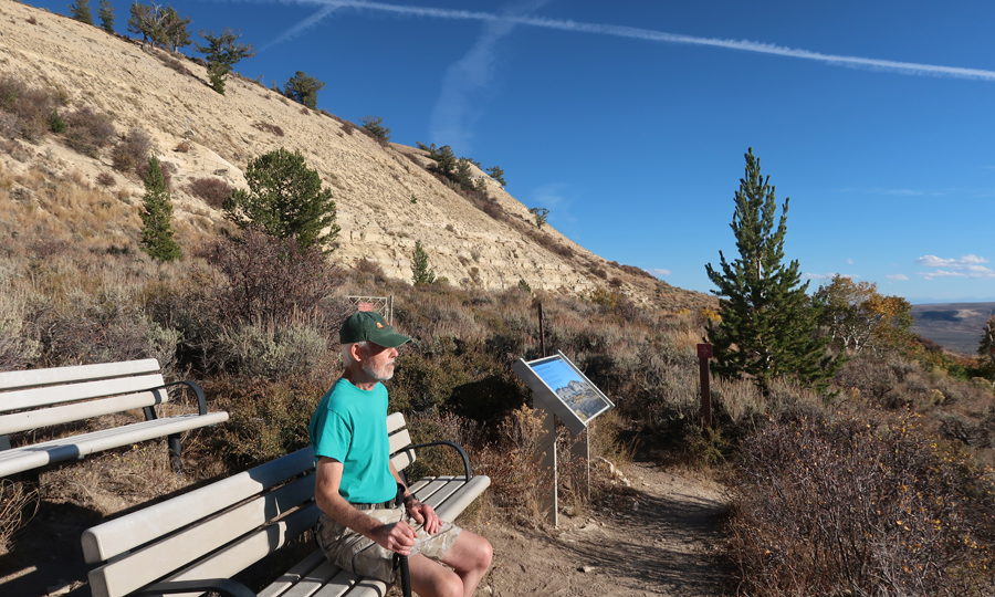
View from the Visitor Center
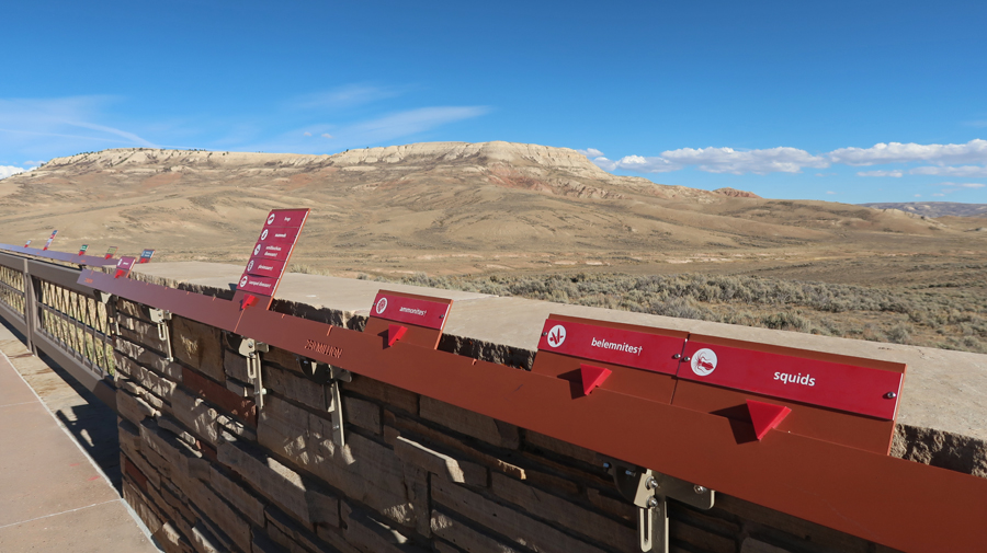
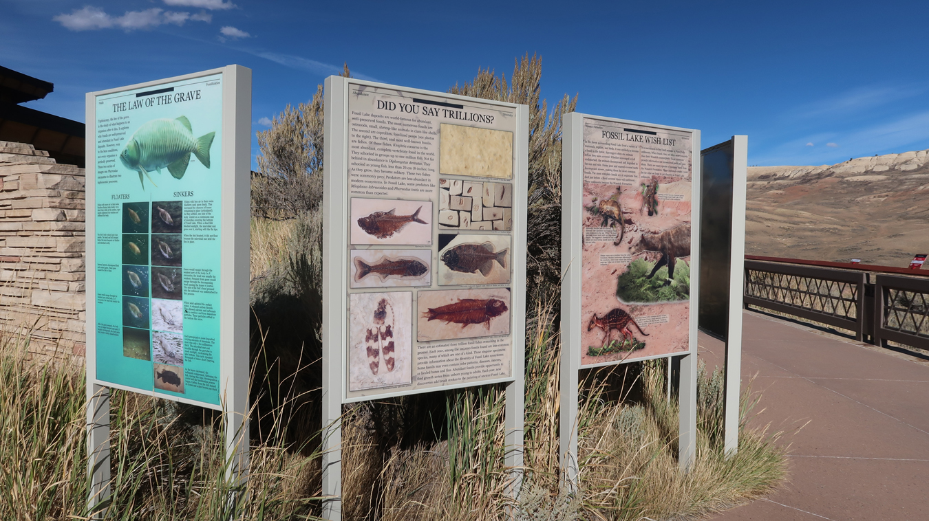
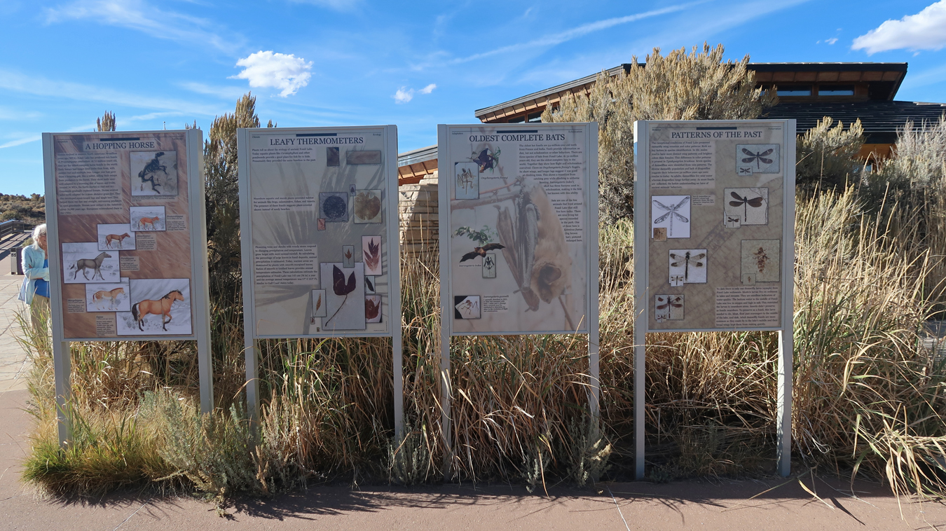
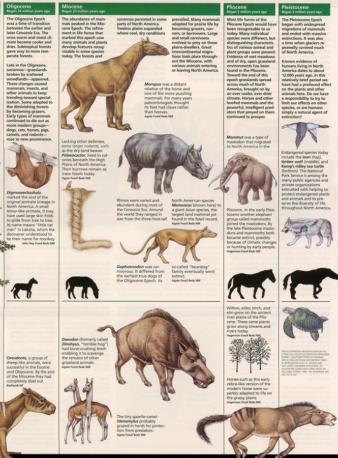
The signs along the entrance walk cover millions of years and highlight the Cenozoic Era (last 65 million years) – The Age of Mammals.
.
.
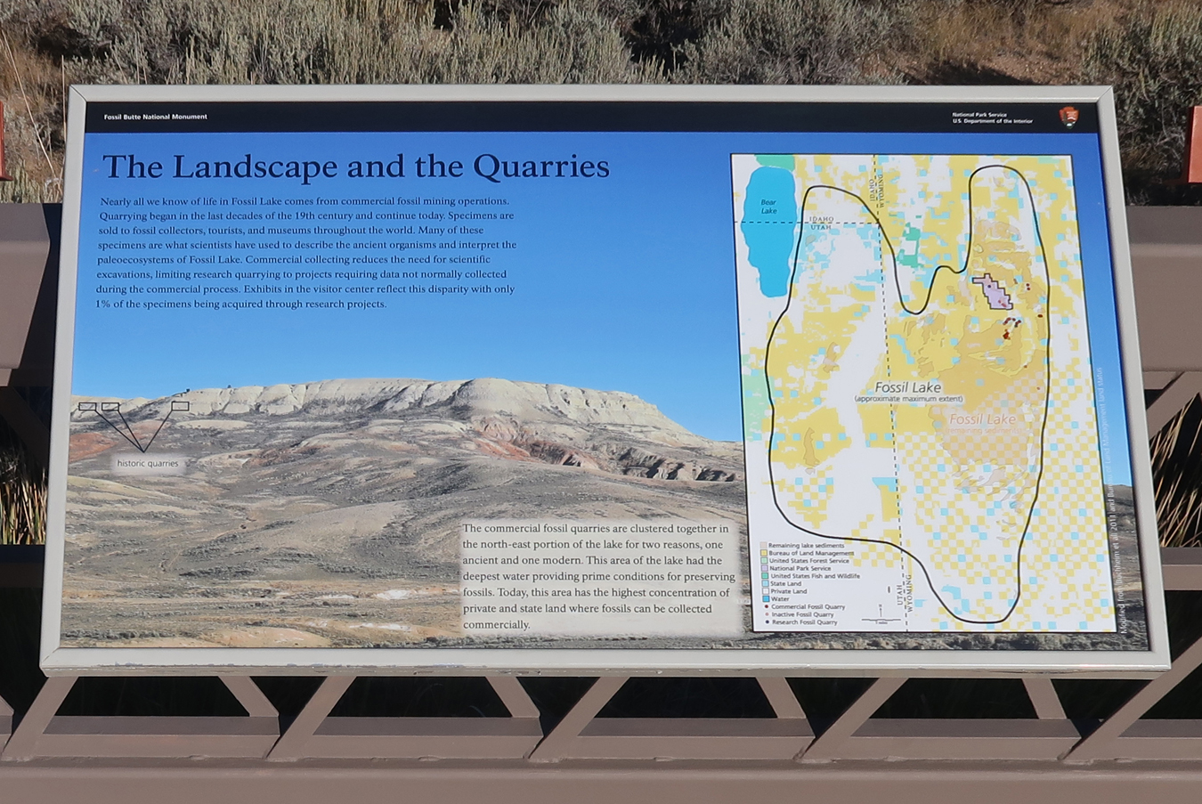
Landscape and Quarries
.
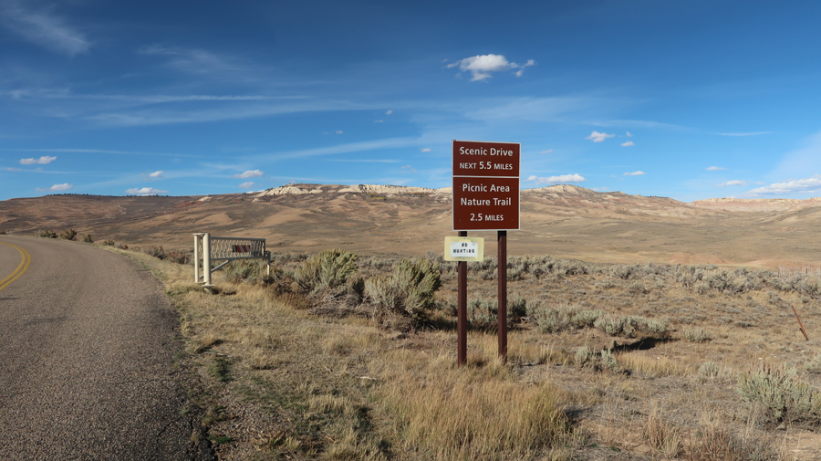
Starting on the Scenic Drive
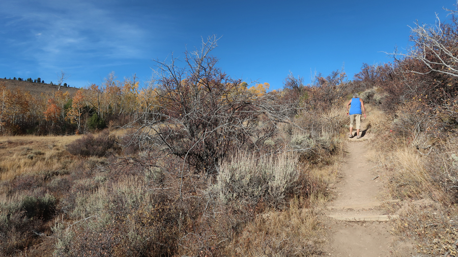
Helen and I did the 1.5-mile Fossil Lake Loop Trail
Markers along the trail highlight plants and animals –
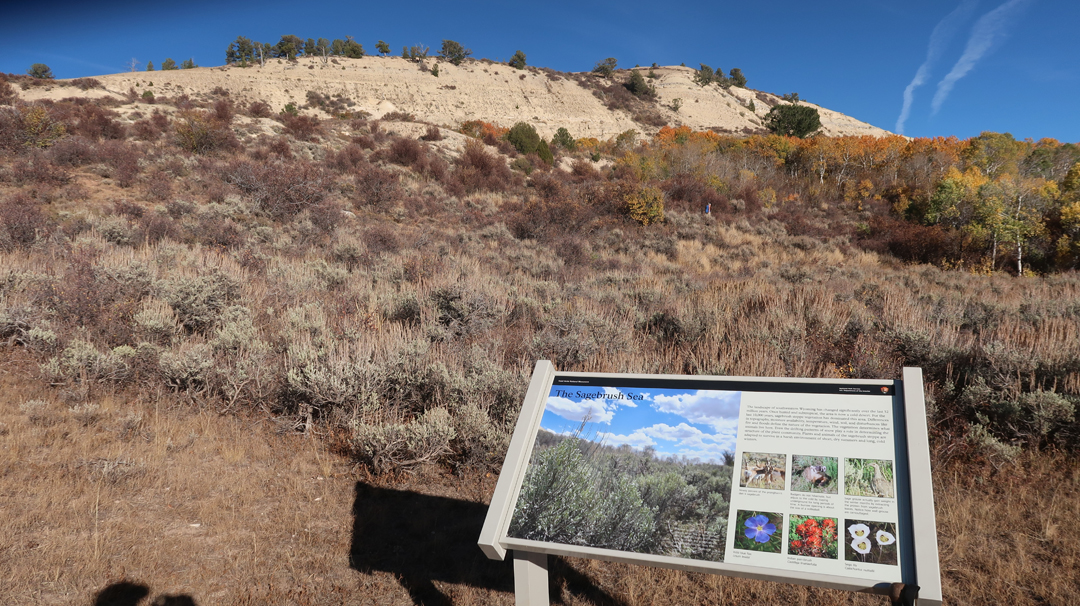
The trail winds through a high desert landscape
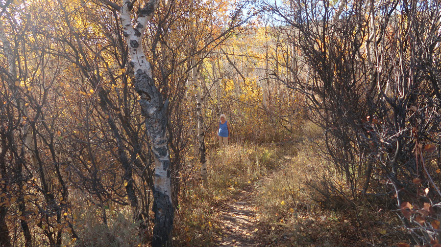
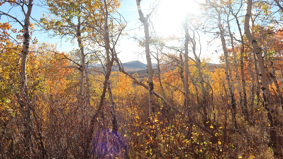
Reached the highpoint of the trail as the sun was starting to set in the west –
Descended through a golden aspen grove, that is sustained by hillside springs.
.
.
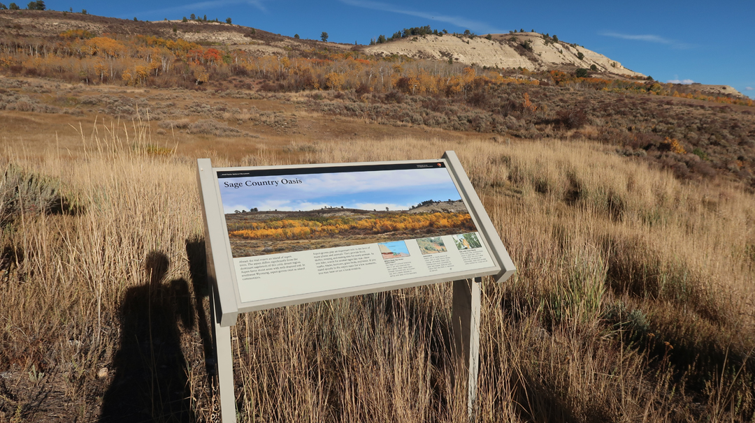
Sage Country Oasis – Aspen trees reproduce through root sprouts. So, each new tree is a clone of the parent, therefore, they are a single organism.
2.5hrs to West Valley City UT, a suburb of Salt Lake City, where we came upon the Kabul Kitchen. It is an Afghani store/restaurant. It was ready to close, but we explained how we had traveled through Afghanistan and experienced the 1978 Now Ruz Celebration (New Year – first day of Spring) in Kabul. The country’s biggest celebration of the year! The following is a major diversion from this post.
Story – We joined several thousand people at the Fairgrounds outside of Kabul on March 21st. There were carnival rides and circus performances. Two men (no electricity) powered the Ferris Wheel. It was about 40ft tall with one of the seats occupied by two other men – one beat a drum and the other played a flute. They provided the music to accompany the ride! There were various contests including wrestling and weight-lifting, as well as races – human, horse, dog, and camel. In addition, you could bet on various cock, dog, and camel fights. The reason I mention this is because I happened to speak with an Afghan Army officer. I told him we would be driving through the Salang Tunnel to Kunduz. He stated that the Soviets built the Salang Tunnel, through the Himalayan Mountains north of Kabul, so their forces could someday easily invade the country.
A little Afghan History – in 1973, Army General and prince Mohammad Daoud Khan orchestrated a coup to overthrow his cousin King Mohammad Zahir Shah. He established the Republic of Afghanistan. He held power until April 1978, one month after our visit, when pro-Communist rebels stormed the palace in Kabul and killed him and his family. One year later, on Christmas Day 1979, the Soviet invasion began. The main route of the invasion was through the Salang Tunnel.
A little Iranian History – the Iranian Revolution began in 1978. Helen, Stacy, and Peter were evacuated from Iran, with embassy employees, on December 9, 1978. On January 16, 1979, the Shah left Iran with his family for exile in Egypt. I was able to escape from Iran on a Finnish flight evacuating their embassy on January 18, 1979. That is a long story! The Iranian Revolution ended on February 1, 1979, when Imam Khomeini arrived in Tehran from Paris.
Now back to 2025, the Kabul Kitchen stayed open to prepare Lamb Shank Kabuli take-out dinners for us! We also purchased Sohan, which is a Persian candy, to sooth our sweet tooth. Took our treats to the Holiday Inn Express for consumption.
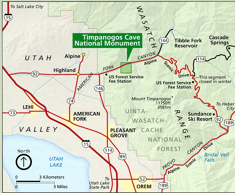
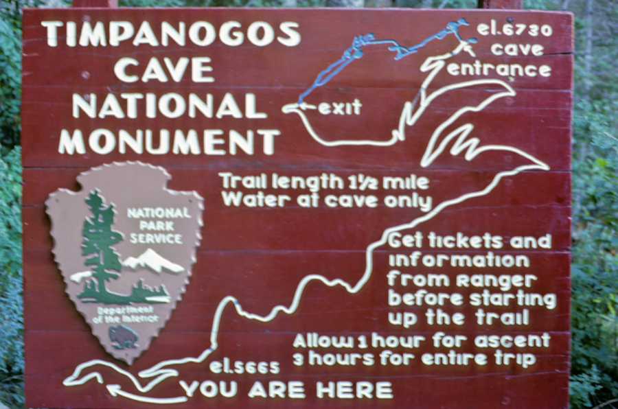
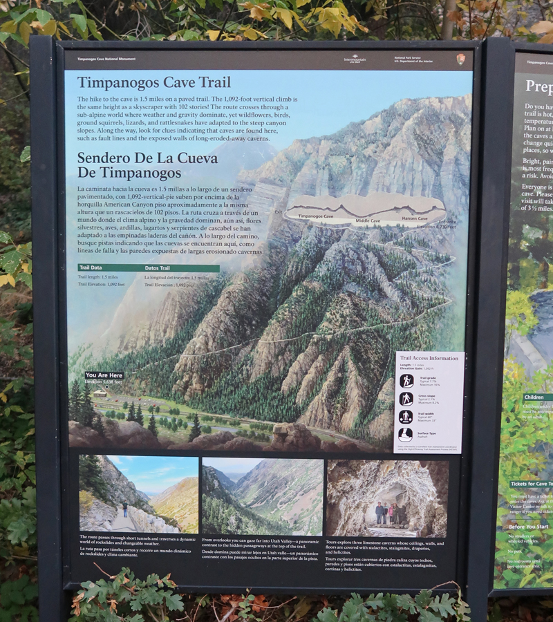
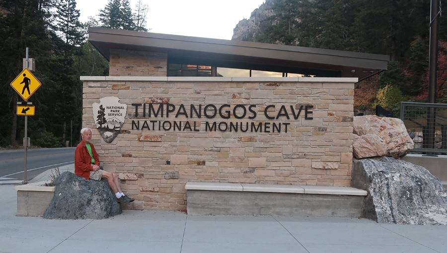
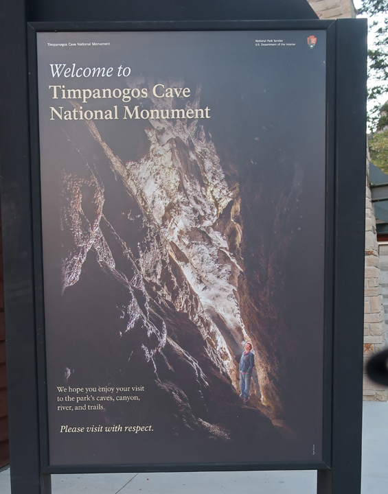
10/3 F – Breakfast at the hotel, followed by a 45-min drive into the Wasatch Mountains to Timpanogos Cave NM
.
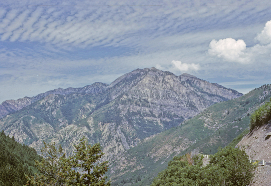
Our first visit was in 1968 when we hiked the steep 1.5-mile trail ascending 1,092ft to the cave entrance at 6,730ft for the ranger tour.
.
I had “slow film” in my camera resulting in blurry photos. Photo of Hidden Lake –
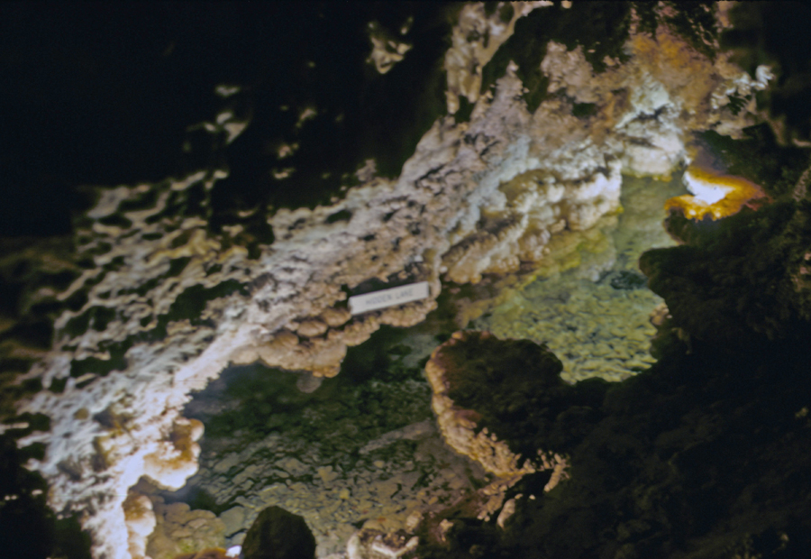
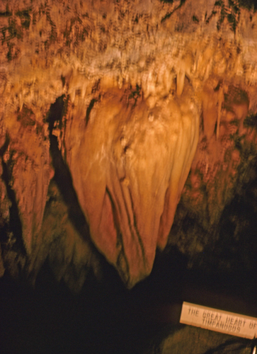
Photo of the Great Heart of Timpanogos –
Unfortunately, the Visitor Center and Cave were closed today because of a Government Shutdown. FYI – the tour is 3.5-hours with a cost of $12 for an adult ticket.
.
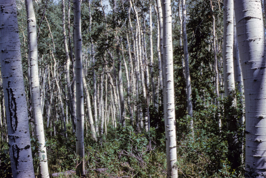
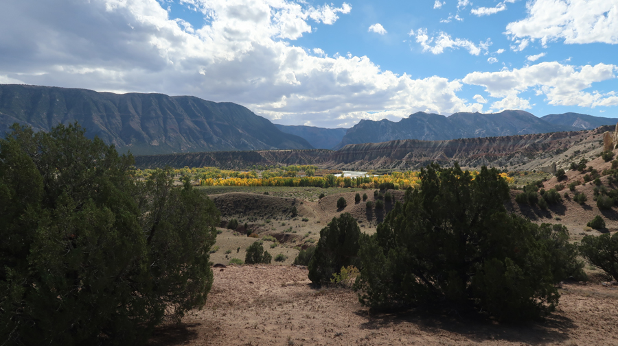
Aspen – starting our drive to Dinosaur NM in UT –
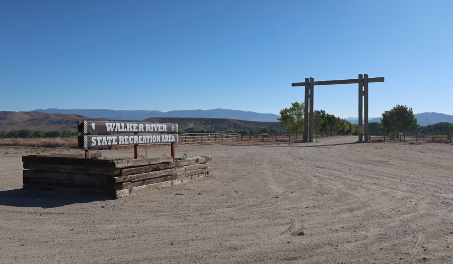
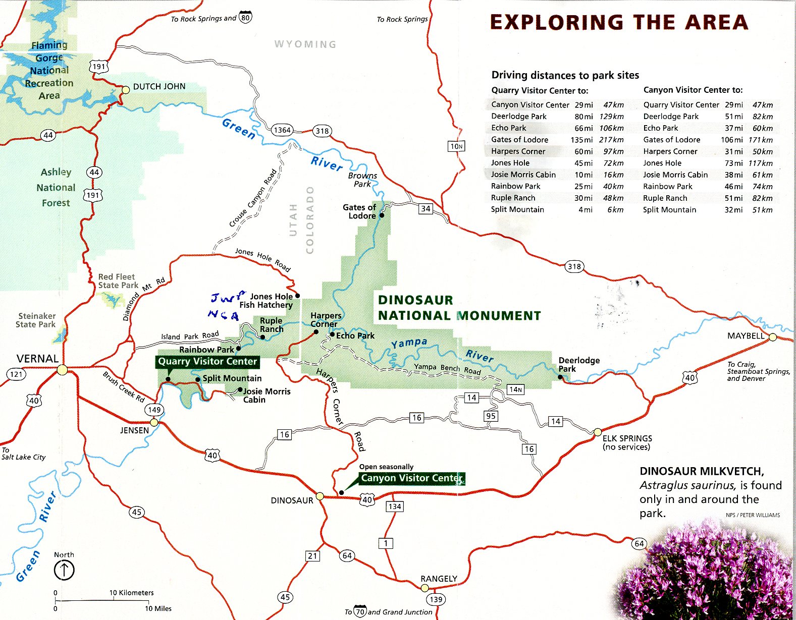
My mother, brothers, and I visited Dinosaur NM on 8/19/1966. We visited the Quarry Visitor Center and tent camped on the Green River at the Split Mountain campground.
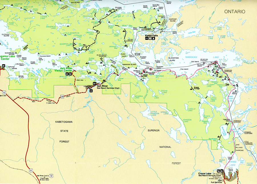
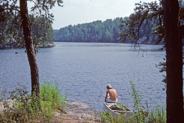
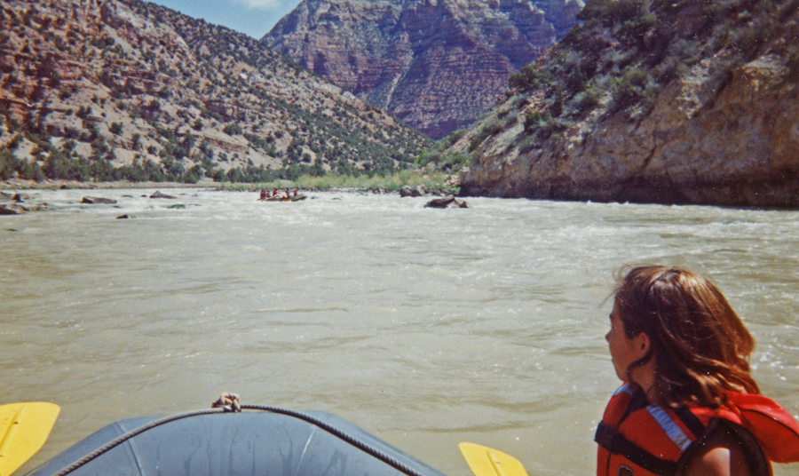
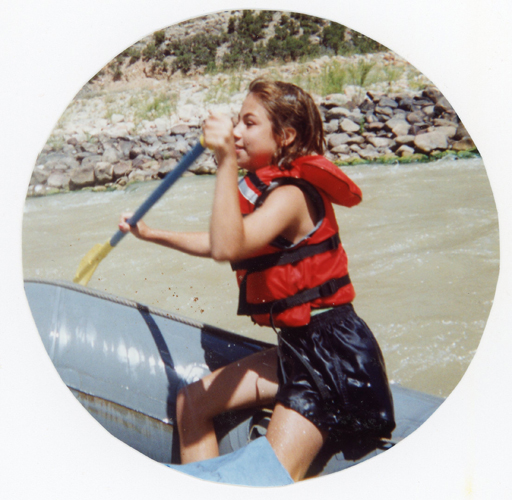
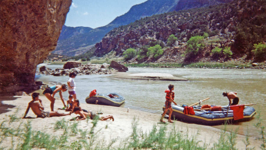
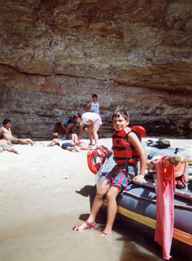
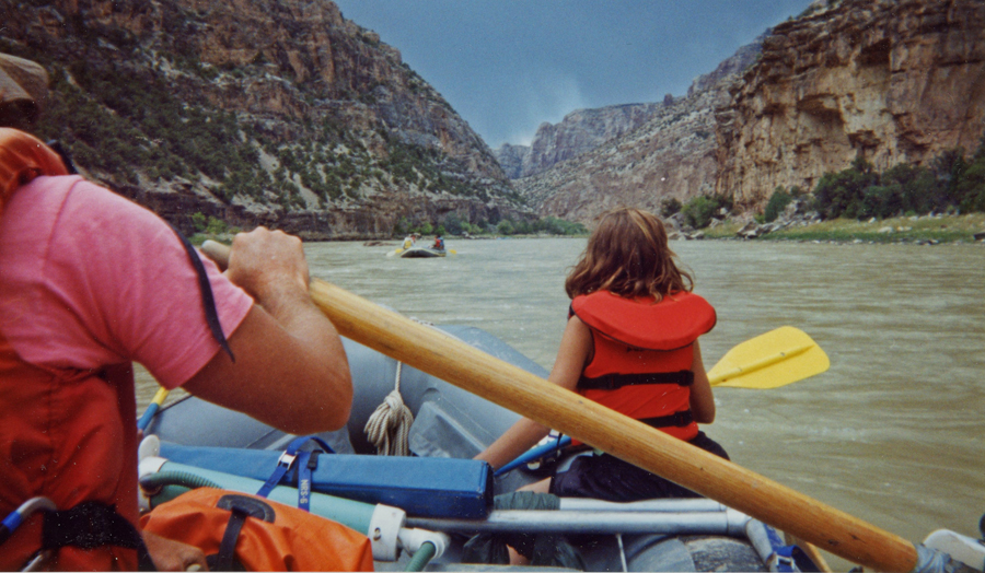
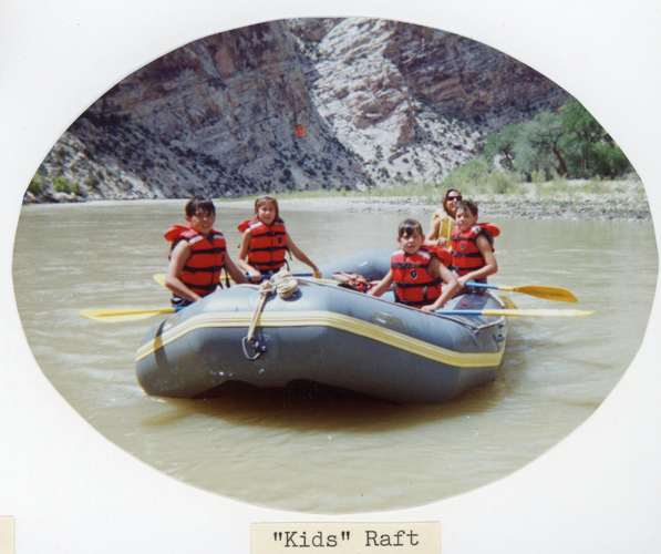
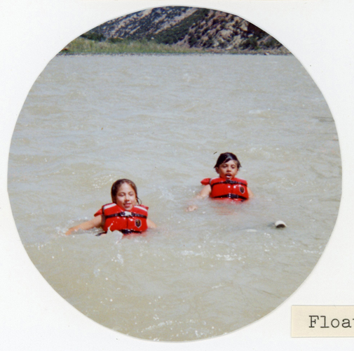
In 1992, Helen, Kate, Chad, Manuel (student from the Canary Islands), and I did a rafting trip on the Green River north of the National Monument. JWP stands for John Wesley Powell National Conservation Area (NCA), which we visited on this trip.
Another family with two kids joined us, so we had two rafts.
.
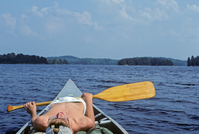
Beach stop for lunch –
.
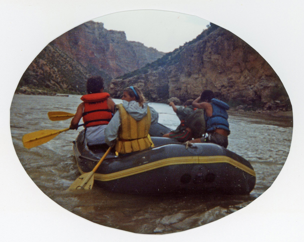
Brief Storm “Vega” Approaching –
.
Stop at Hot Springs –
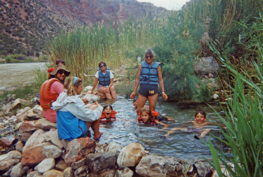
After we got through the storm and finished several rapids, we split and put the four kids in the small raft so they could paddle and float the river with their new friends.
.
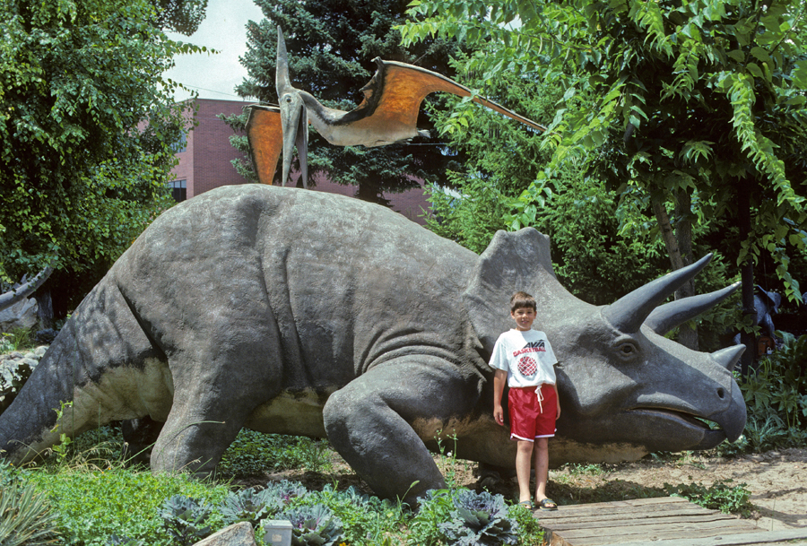
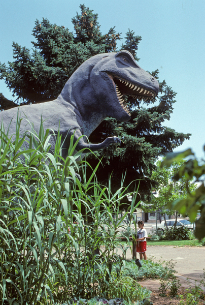
Chad “Loved” Dinosaurs, so we stopped at the Utah Field House of Natural History State Park Museum in Vernal UT.
.
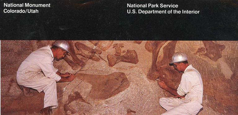
Next stop the Quarry Visitor Center in Dinosaur NM. Followed by the Fossil Discovery Trail to the Dinosaur Quarry Exhibit Hall, where they continue to excavate fossils.
.
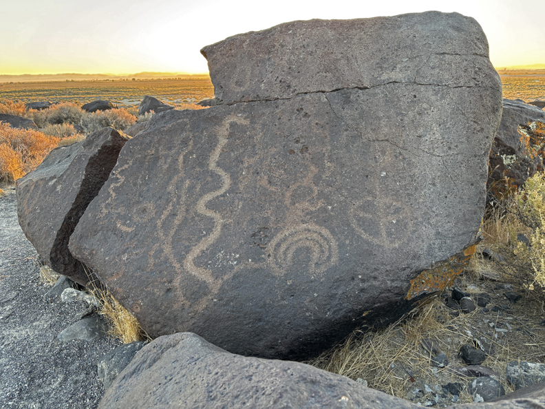
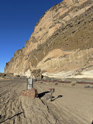
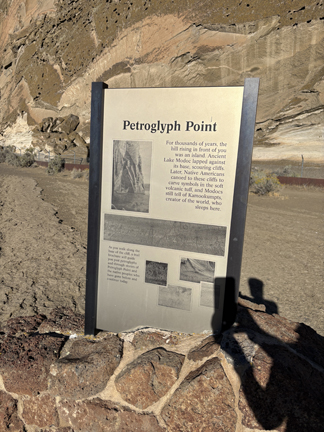
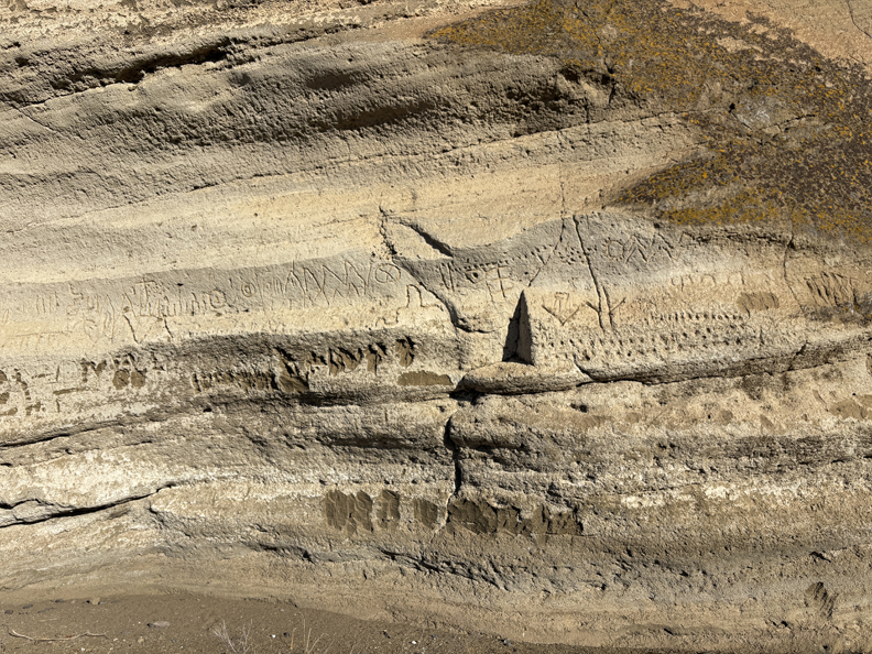
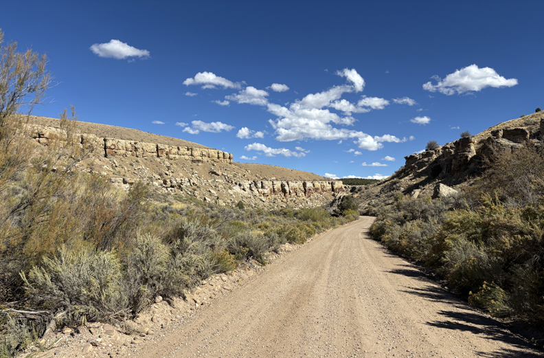
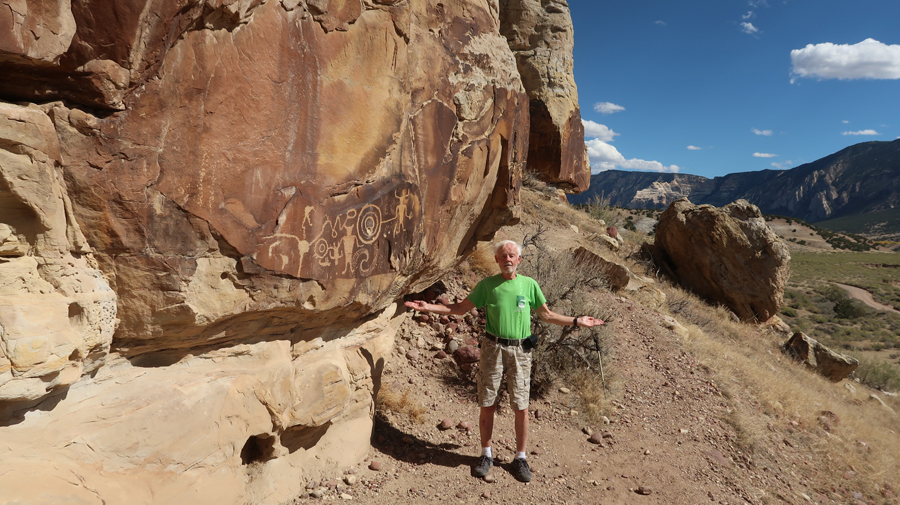
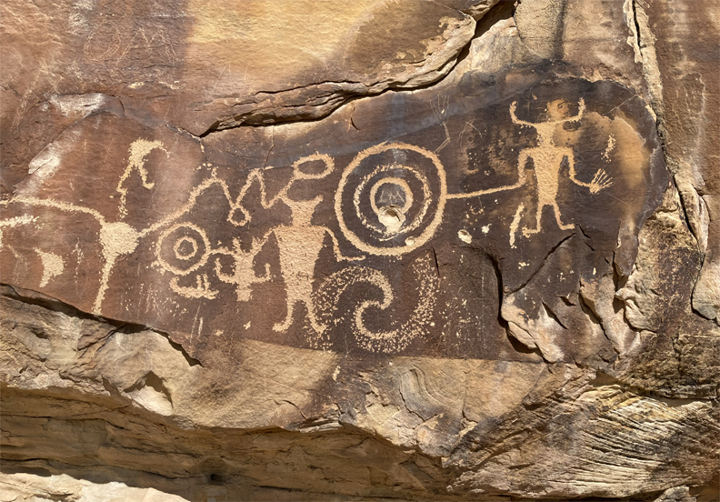
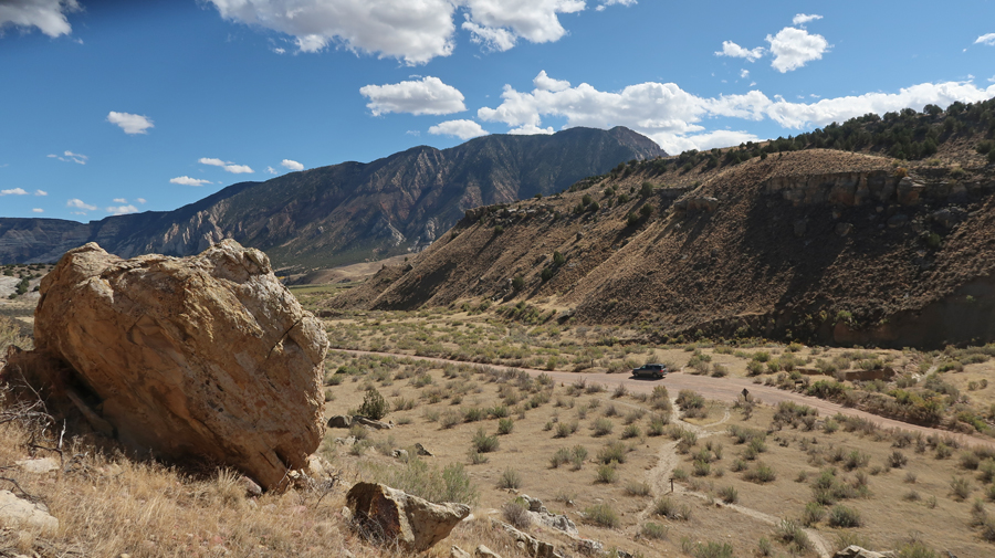
That was followed by a 12-mile drive on Cub Creek Road. We stopped several times and did a short hike to the Petroglyphs near the end of the road.
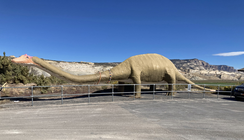
On this visit (2025), we took US-40 East to Jensen UT, where they have a “formerly rideable” Brontosaurus Dinosaur. People would sit on the neck to have their photo taken. Now, there is a fence to discourage that –
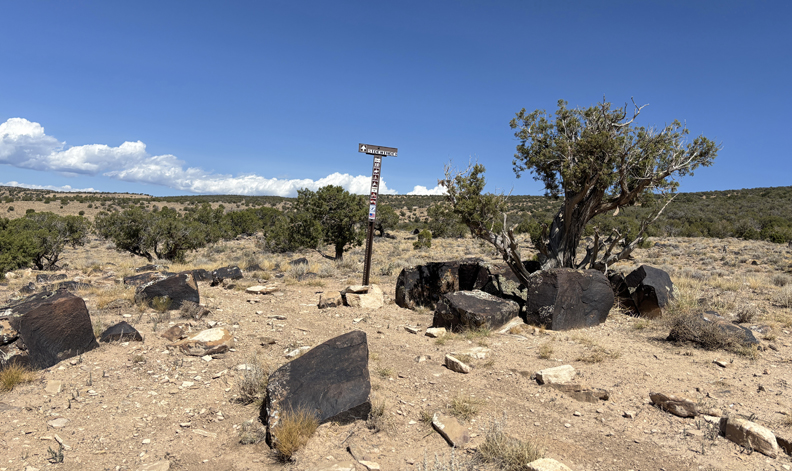
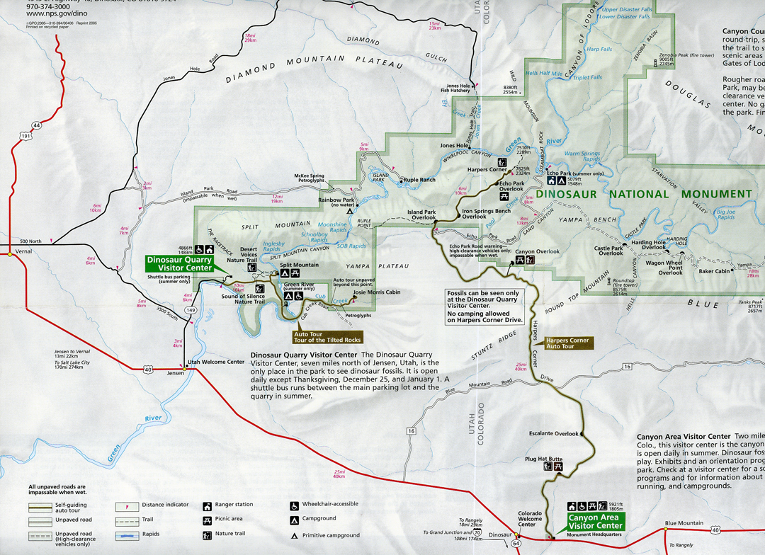
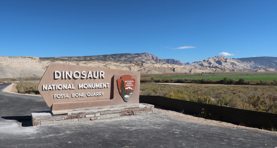
Next – RT-149 N, to a fork and a newly constructed sign for Dinosaur NM.
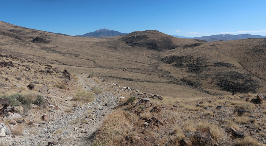
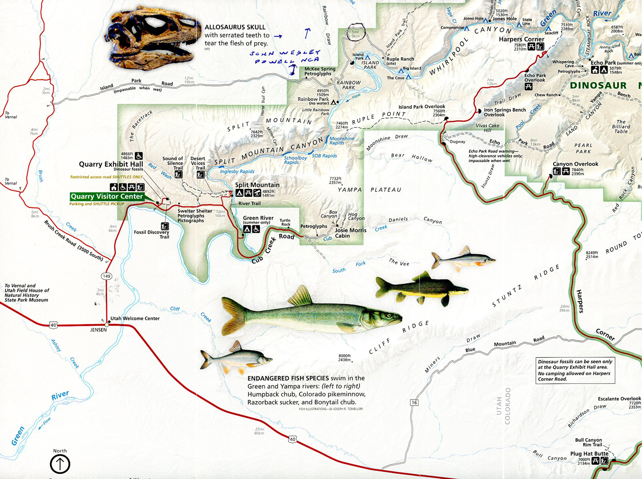
We returned to the fork, made a right turn onto Brush Creek Road, to Diamond Mountain Road, to Island Park Road, to access the NM’s sites north of the Green River – see Map, some roads were not marked.
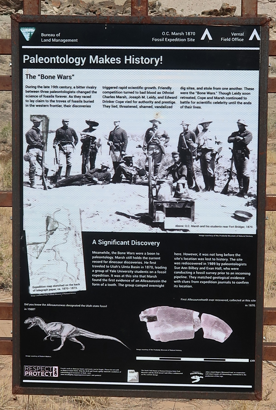
This marker describes the “Bone Wars”
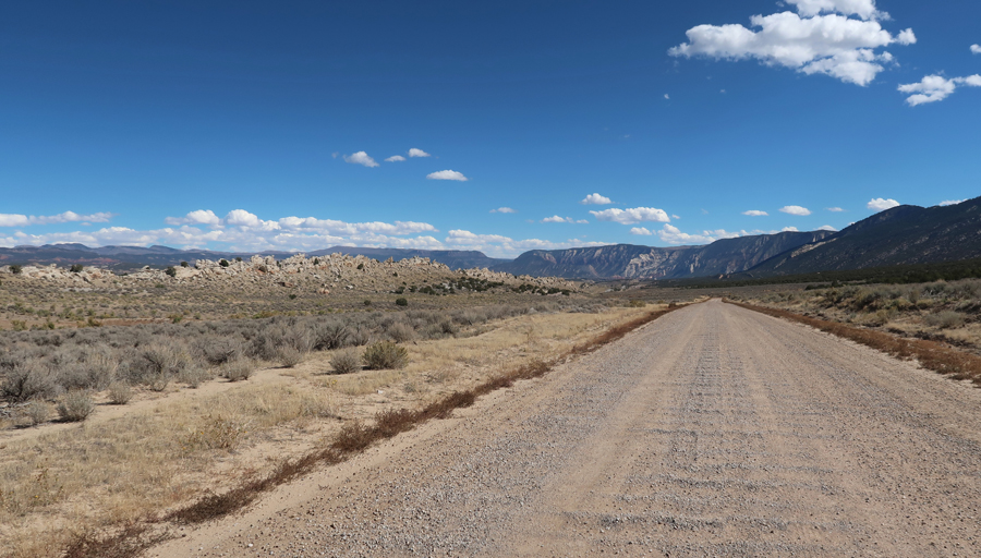
“Wash Board” road, made for a bumpy ride –
Tilted Rocks
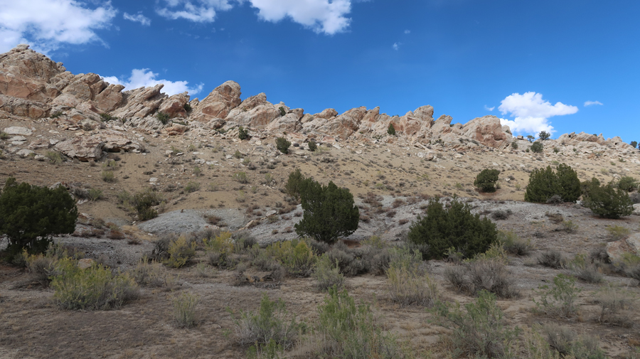
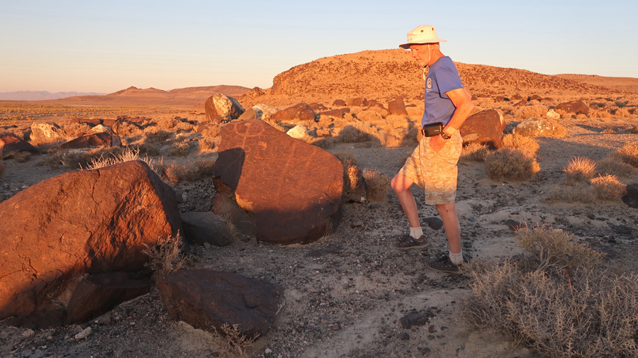
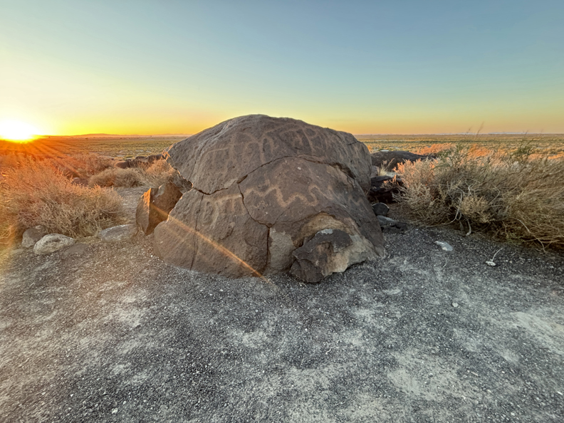
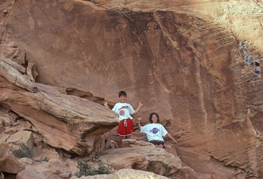
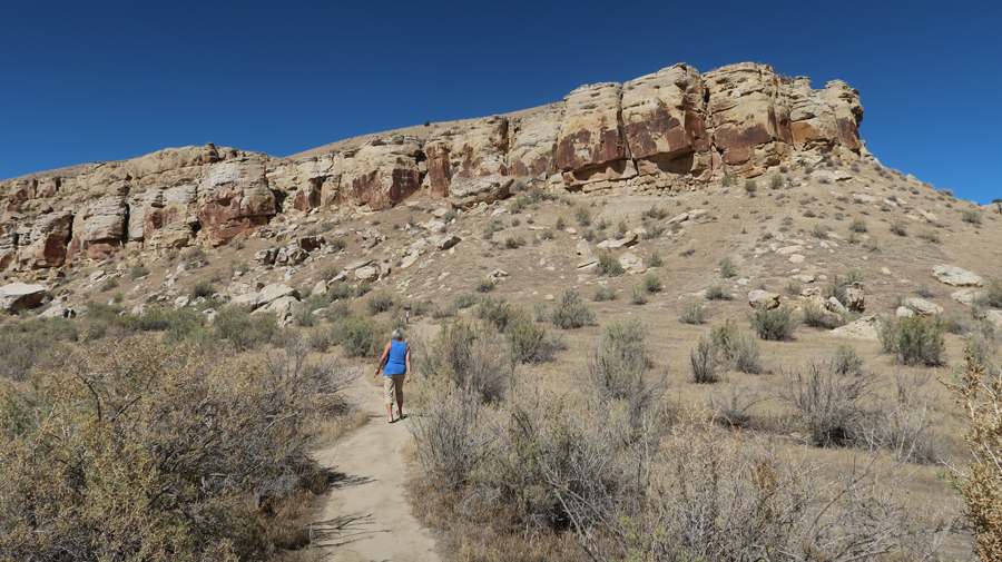
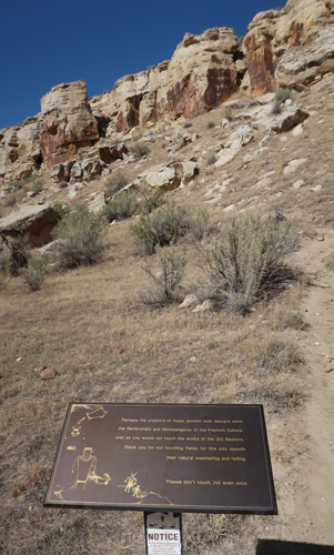
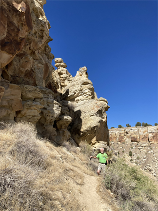
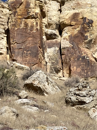
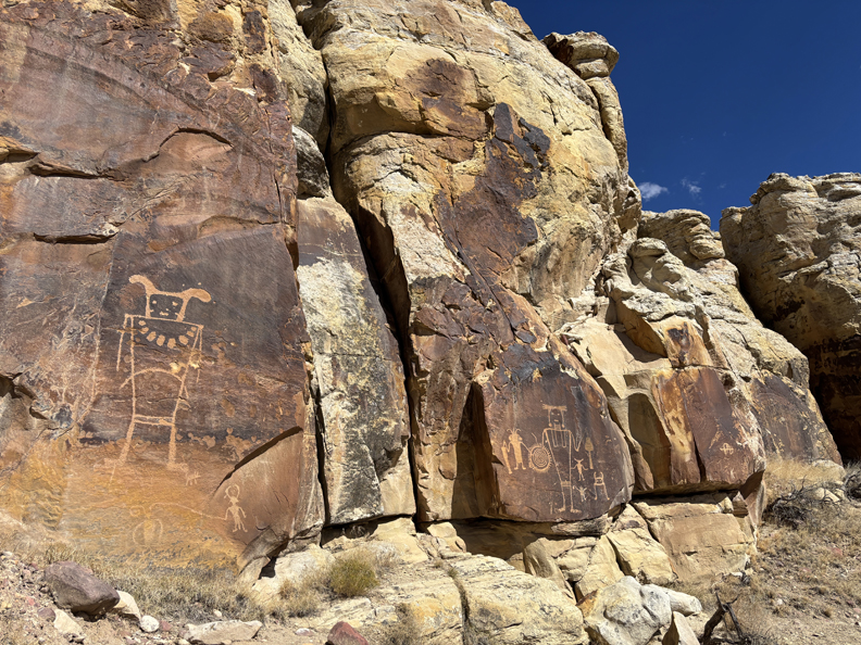
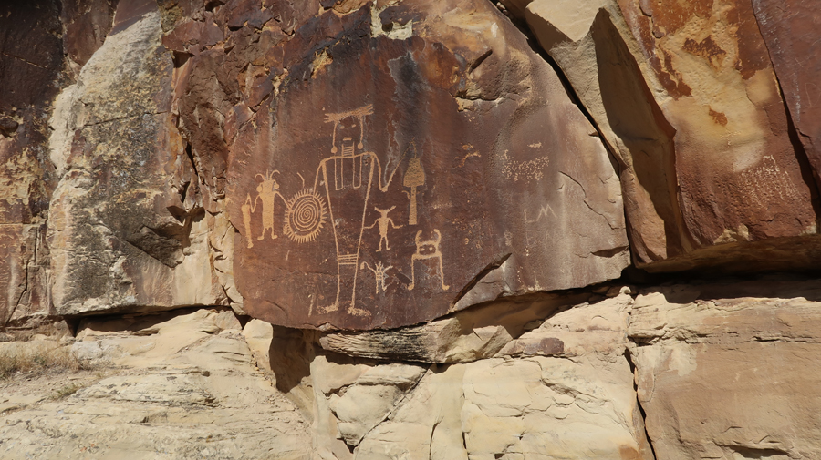
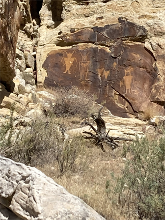
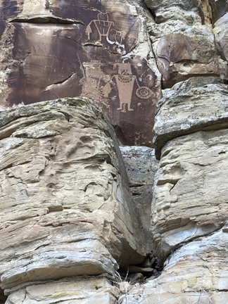
Approaching the McKee Springs Petroglyphs
0.3-mile loop trail
.
.
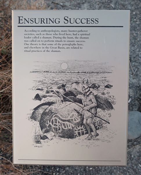
These are some of the finest large human-like Freemont designs in this area.
.
.
.
.
Finishing the loop trail
.
.
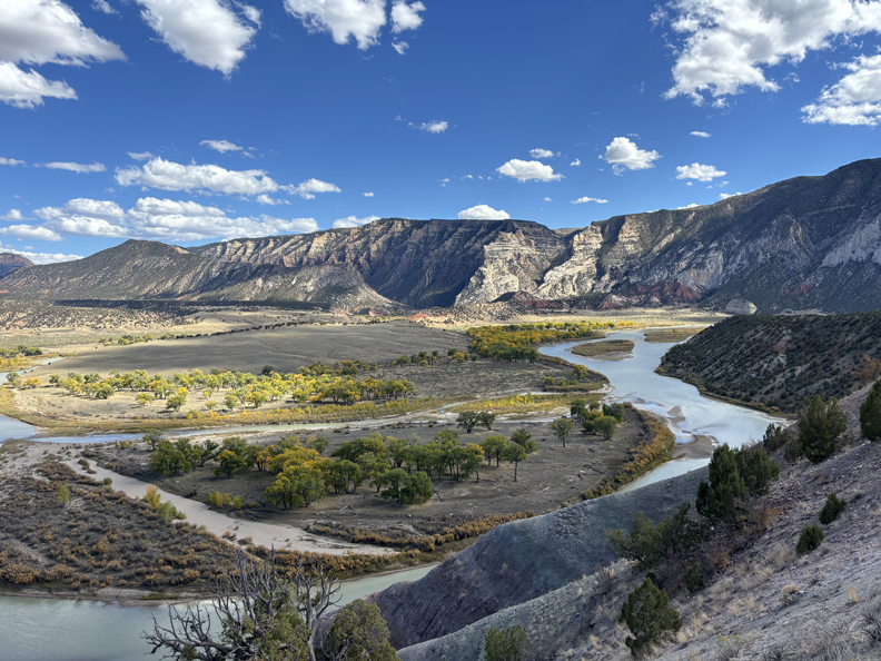
Rainbow Park Viewpoint –
.
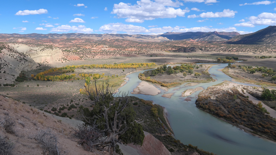
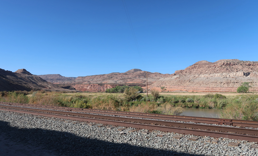
Cottonwood and perhaps Boxelder trees on Green River
.
.
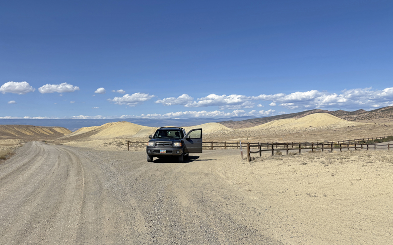
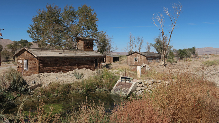
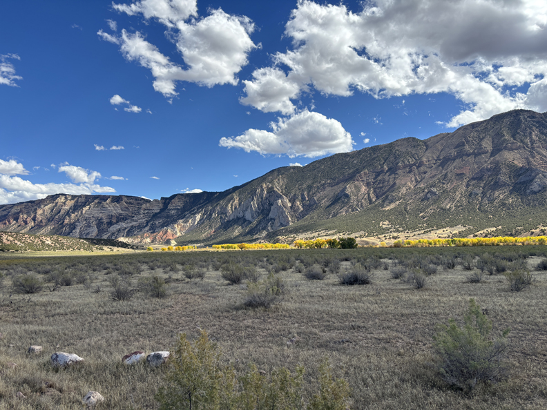
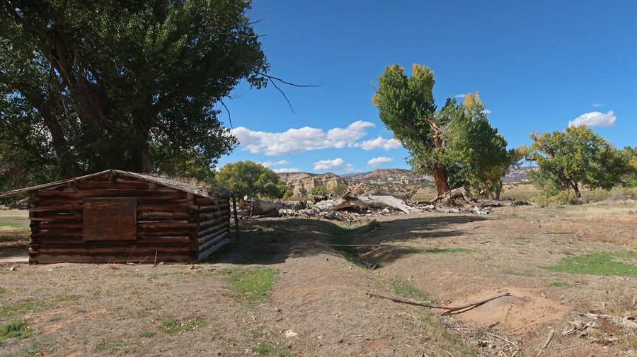
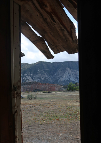
Ruple Ranch
.
.
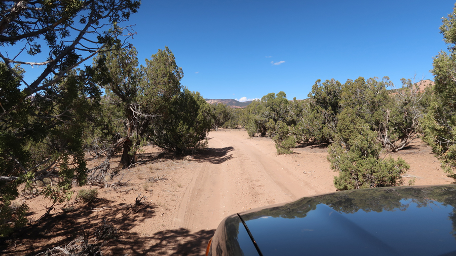
The Sequoia DID NOT get through this brush unscathed – my bad!
Near Big Island Campsite
.
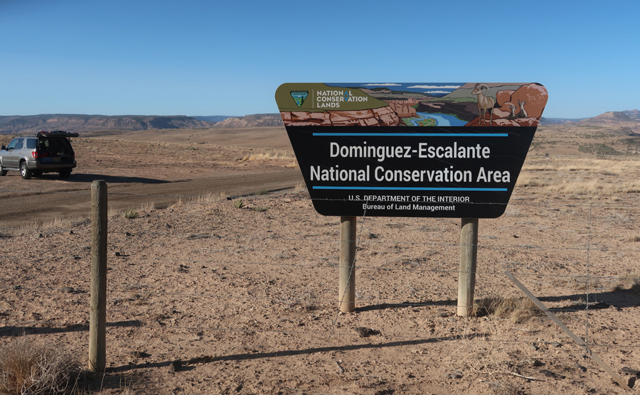
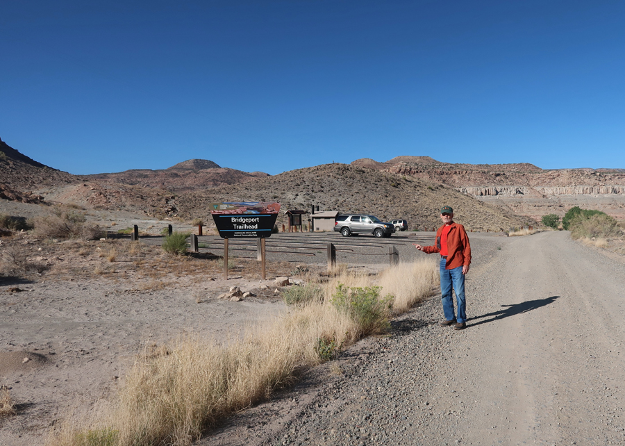
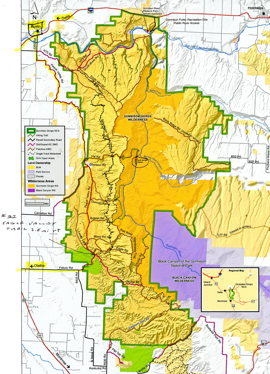
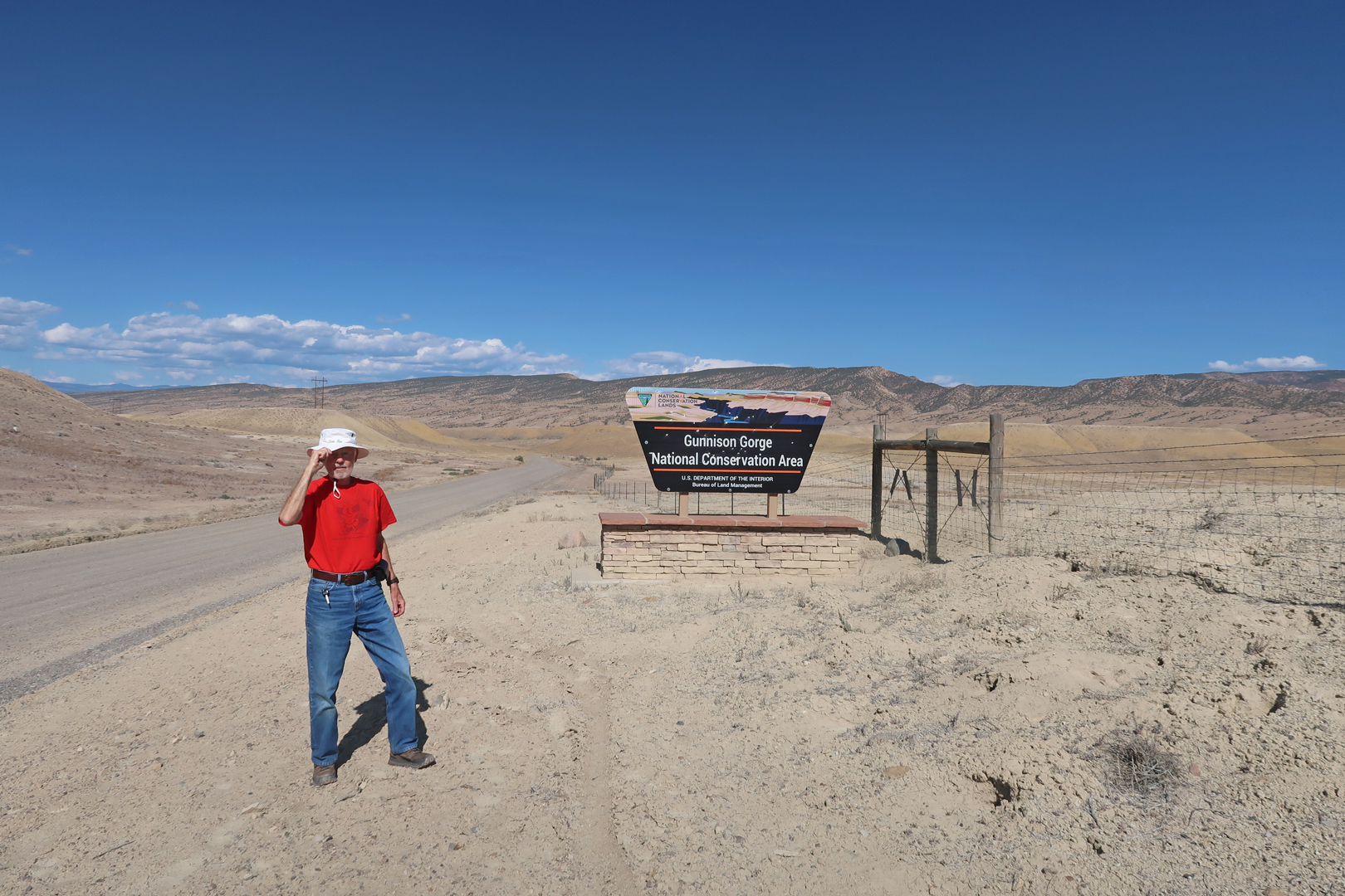
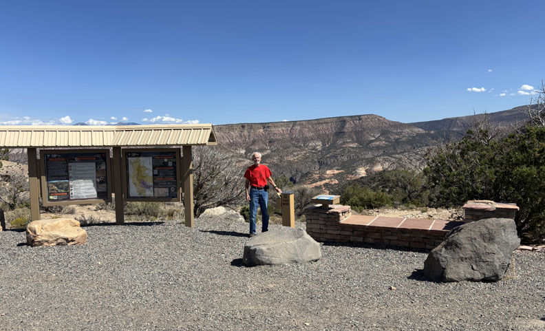
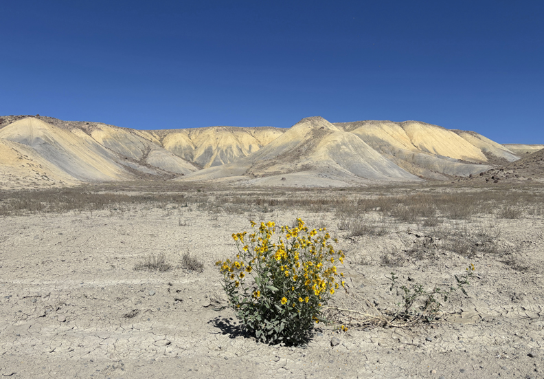
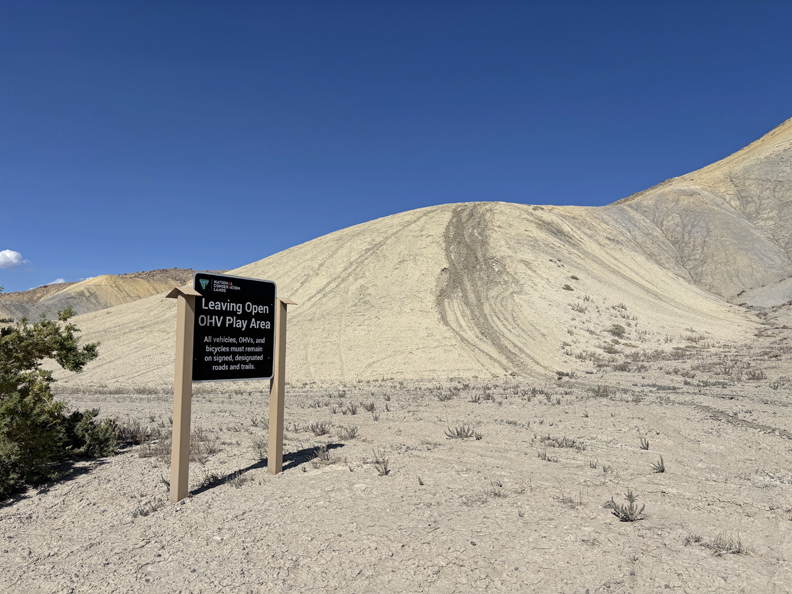
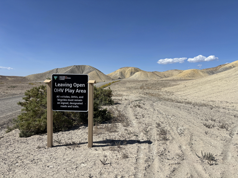
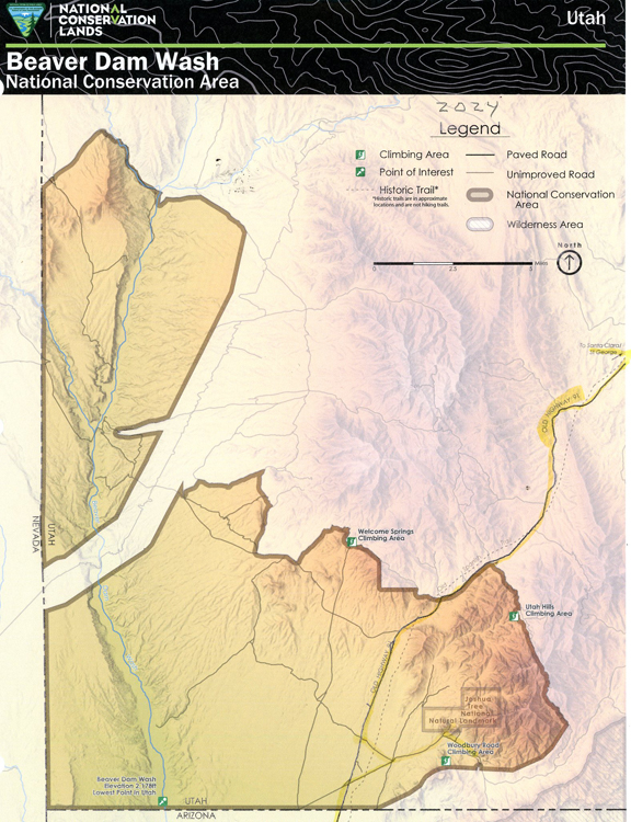
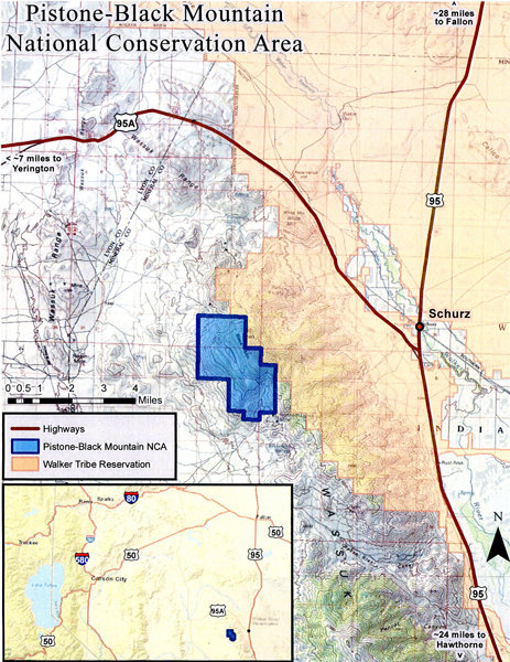
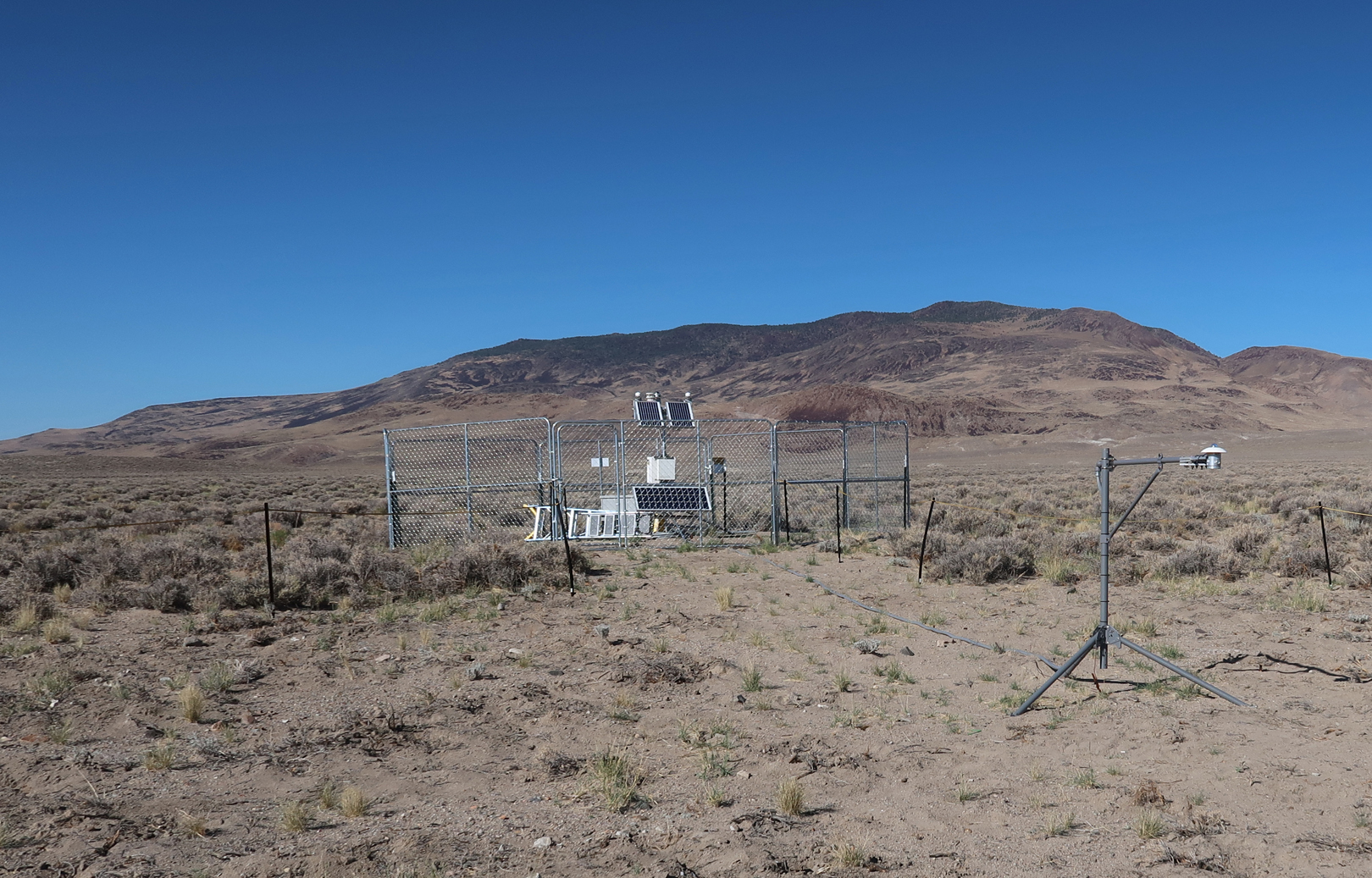
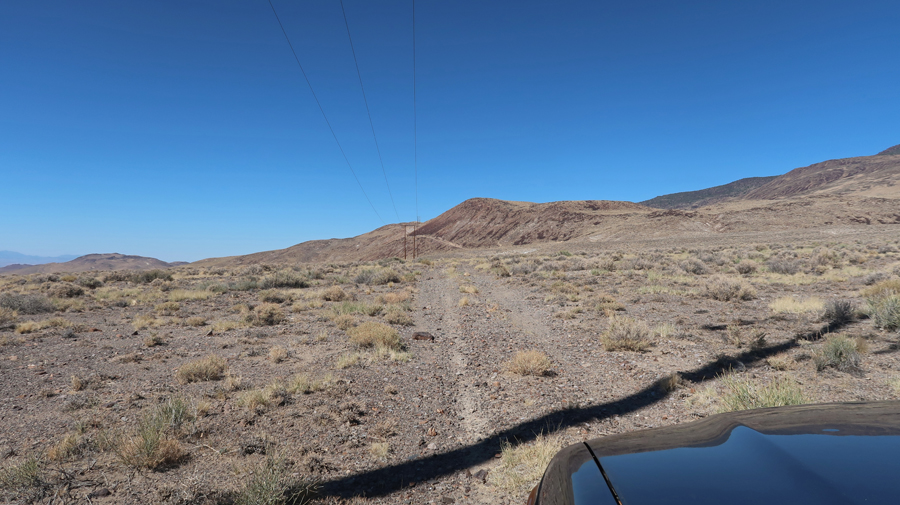
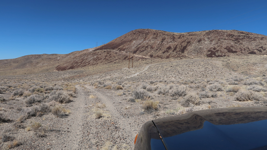
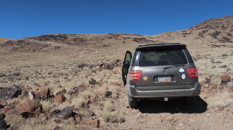
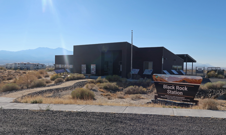
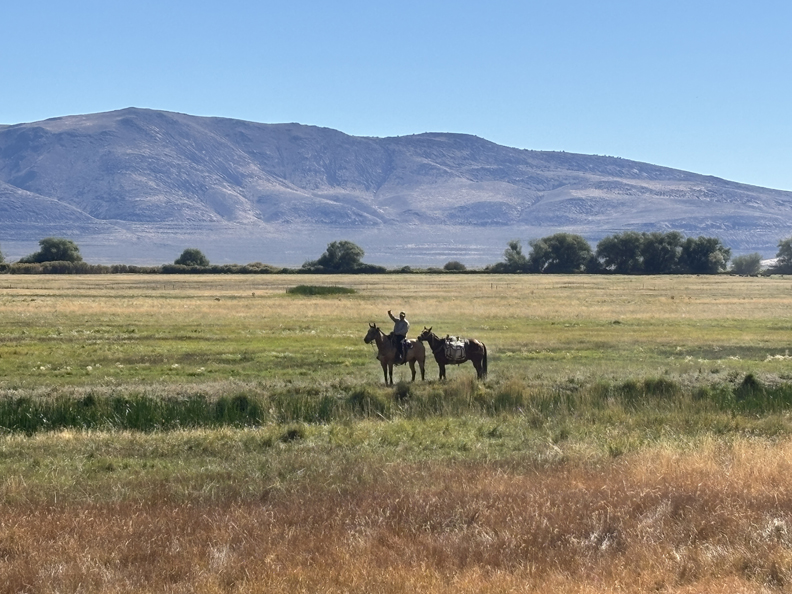
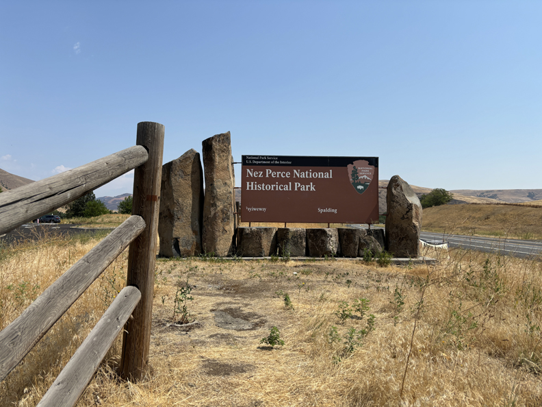
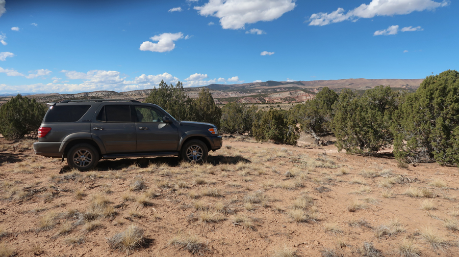
One of my objectives for this trip was to complete my goal of visiting all 19 BLM National Conservation Areas (NCAs). John Wesley Powell NCA was number 19.
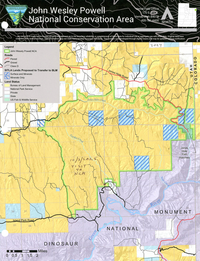
I have indicated my access point on the above map. It was difficult to determine how I could access the NCA.
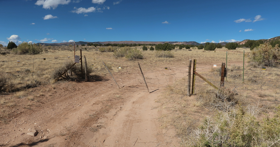
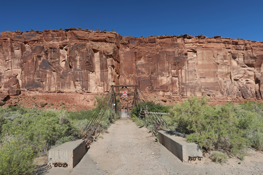
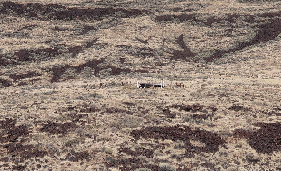
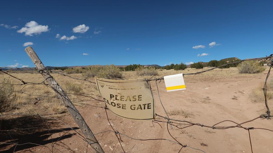
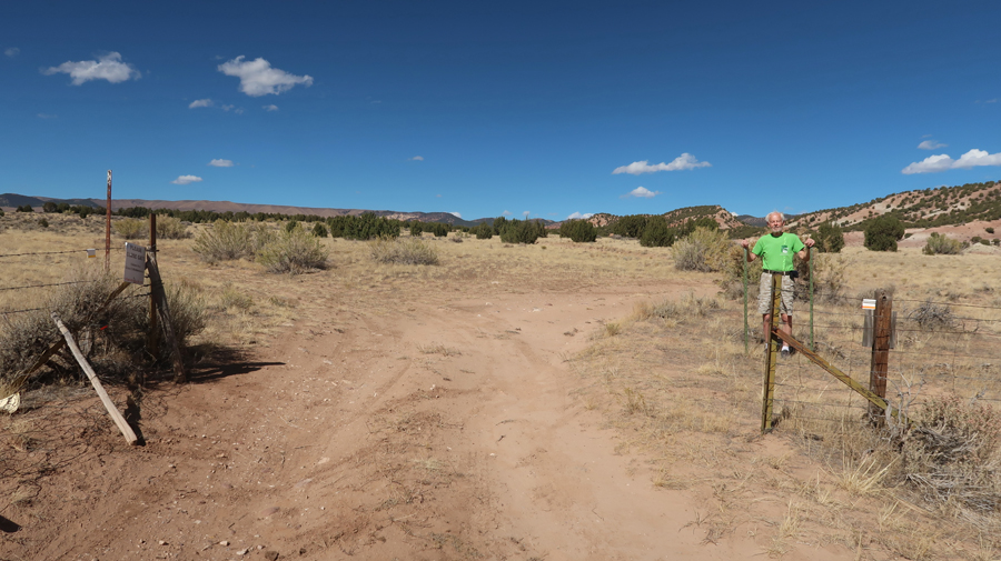
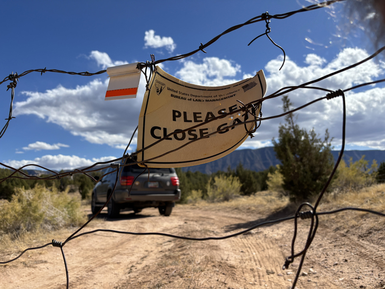
Opening the gate between Dinosaur NM and the John Wesley Powell NCA –
.
On March 12, 2019, Public Law 116-9, the John D. Dingell, Jr. Conservation, Management, and Recreation Act was enacted. The Act will conserve, protect and enhance significant historic, cultural, natural, scientific, scenic, recreational, archaeological, educational, and wildlife resources on 29,868 acres of the John Wesley Powell National Conservation Area.
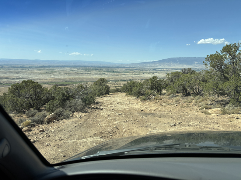
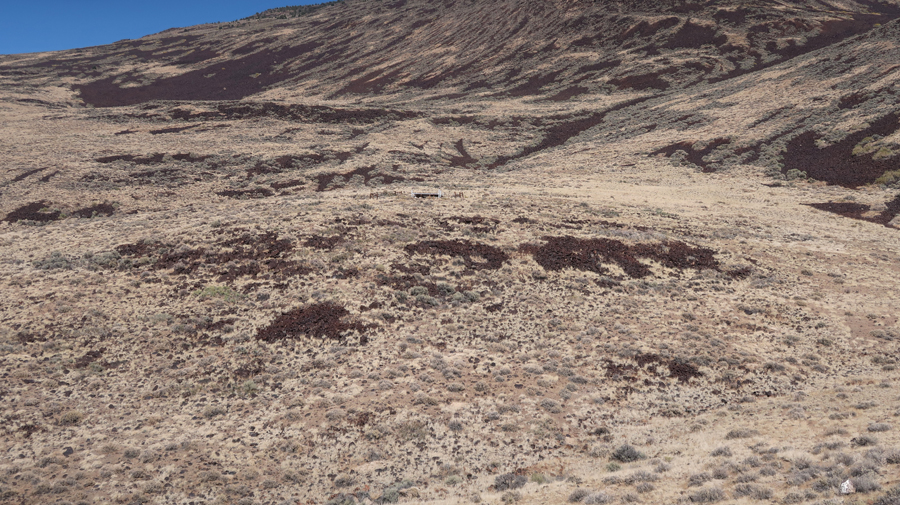
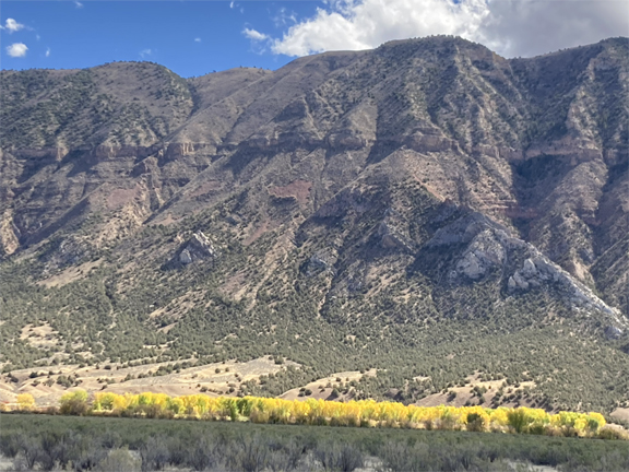
Looking toward the Diamond Mountain Plateau –
Leaving the NCA –
It was late by the time we started east on US-40. We drove to the east side of Denver and stopped in a Sleep Inn motel about midnight.
10/4 Sa – 730-miles to Columbia MO, Quality Inn (I-70)
10/5 Su – 500-miles to Springfield OH (I-70)