
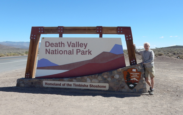
Death Valley NP, Manzanar NHS, LA Bike Ride and Devil’s Punchbowl CA
May 1, 2016April 14 – drove from Las Vegas to Beatty NV and then west on Rt 374 to the “Ghost Town” of Rhyolite


Gold was discovered in 1904 and by 1908 the populations was estimated at 8,000

Cook Bank Building – erected in 1908 at a cost of $90,000; it had electric lights, steam heating and marble floors

Tom Kelley Bottle House

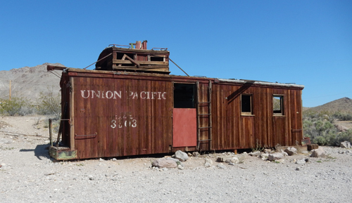
Cabooses were required on every freight train until the 1980s, this one was used as a gas station
Did I say that this is a Ghost Town?

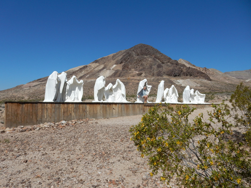
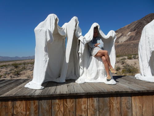
This is titled “The Last Super” – Belgian Artist


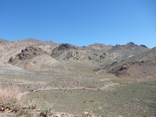
We then took the Titus Canyon Road into CA and Death Valley
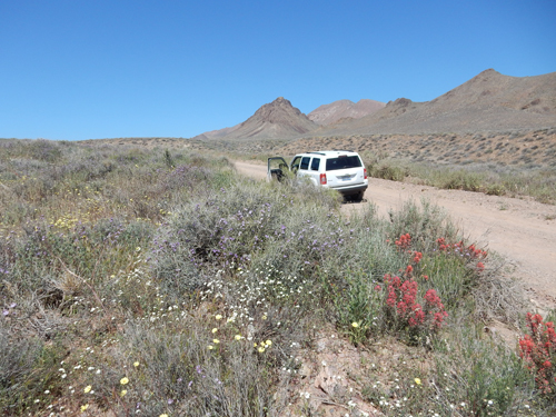
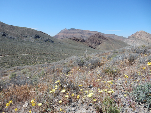
We were lucky to find that the eastern slope of the Grapevine Mountains were still covered with wild flowers
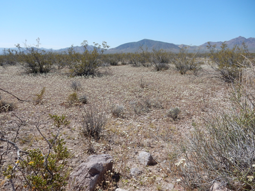


91% of Death Valley is designated Wilderness
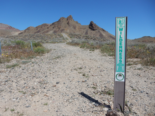
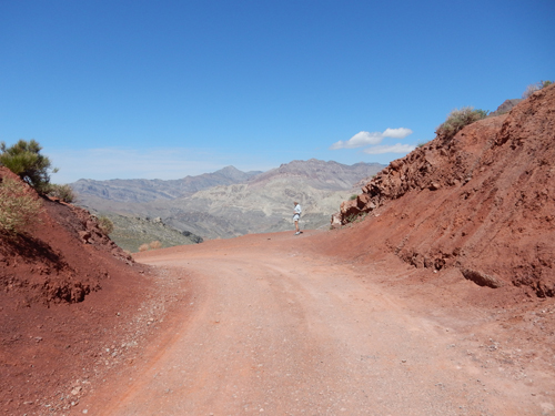
One lane, one-way, 27 mile long, gravel/dirt road requiring high clearance and perhaps 4WD vehicle

Red Pass (5,250 ft)
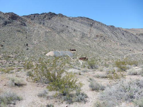
Leadfield, another “Ghost Town” – “Many of the mines are open but enter at your own risk. Loose rocks, rotten timbers, unexpected vertical shafts, and animals seeking shelter are potential hazards.”

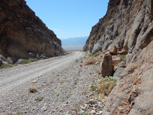
Entering Titus Canyon – narrowest point 20ft wide

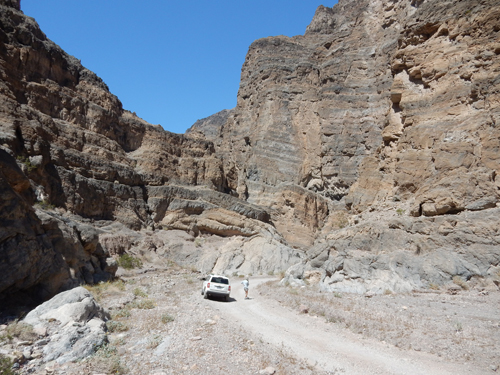
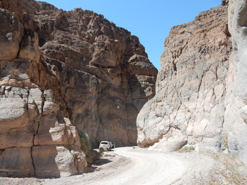
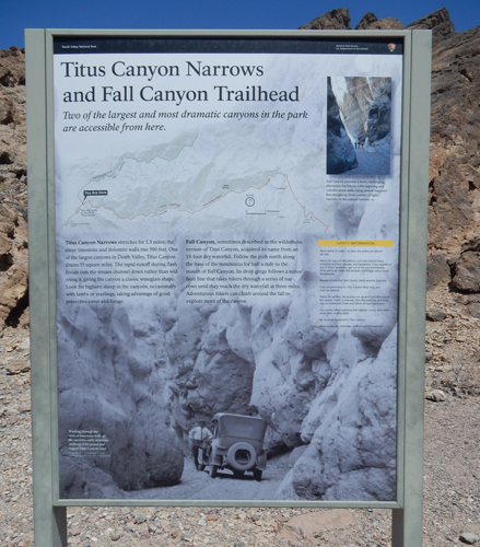
Canyon exit to Death Valley, 3 hours to cover 27 miles

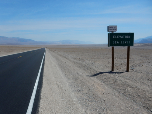
Heading down to Badwater, lowest point in North America
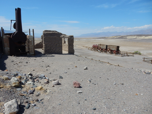
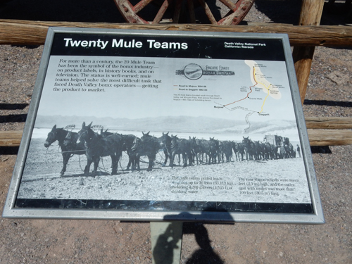
Harmony Borax Works
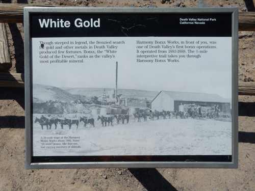

Famous 20 Mule Team wagons for hauling borax

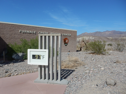
Furnace Creek Visitor Center

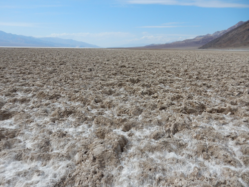
Badwater


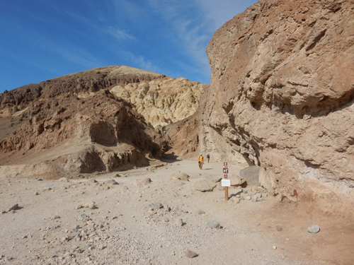
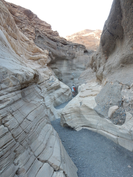
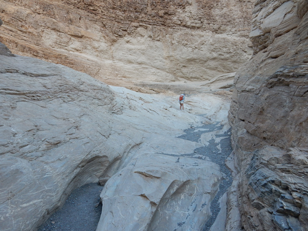
Start of Golden Canyon Trail Hike
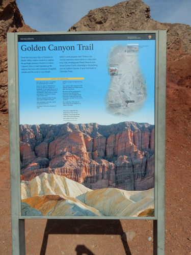

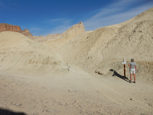
One mile to Red Cathedral Trail

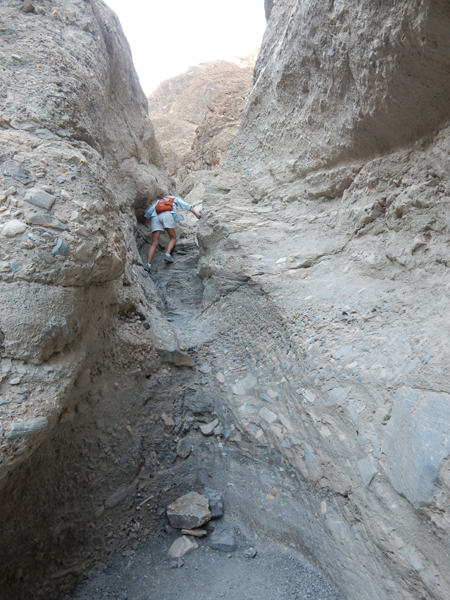
The Red Cathedral spur trail was one mile round-trip – “hikers will have to squeeze between and crawl over or under large boulders in order to reach the base of the vertically fluted walls beneath the famous amphitheater.”
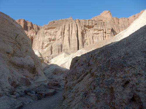
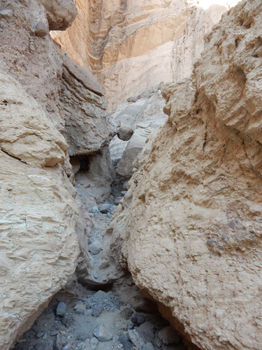
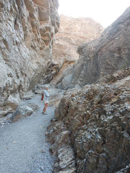
Exiting a slot canyon, in all we hiked about 3 miles

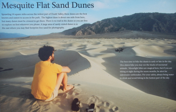
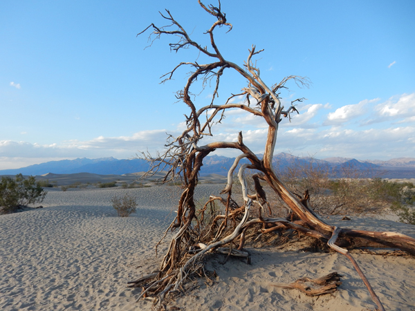
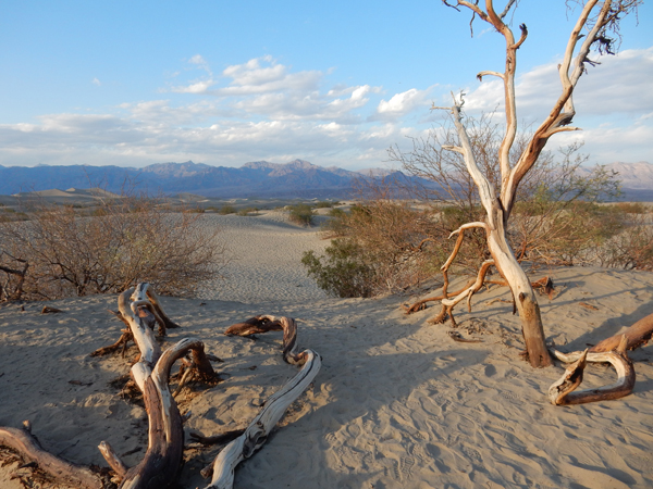
Arrived at the Mesquite Flat Dunes at sunset for some good pictures then checked into our room in Stovepipe Wells
April 15 – Woke early to do the Mosaic Canyon hike before it got too hot. Room was covered in sand/dust. A strong wind was blowing in around the tiny openings between the door and its frame. Hiking up Mosaic Canyon wash


Why they call it Mosaic Canyon – this is called Mosaic Canyon Breccia

First set of narrows
Dolomite marble
Beautiful hike

Boulder jam

Climbing up to second set of uniquely carved narrows
Climbing up to third set of narrows – slippery marble

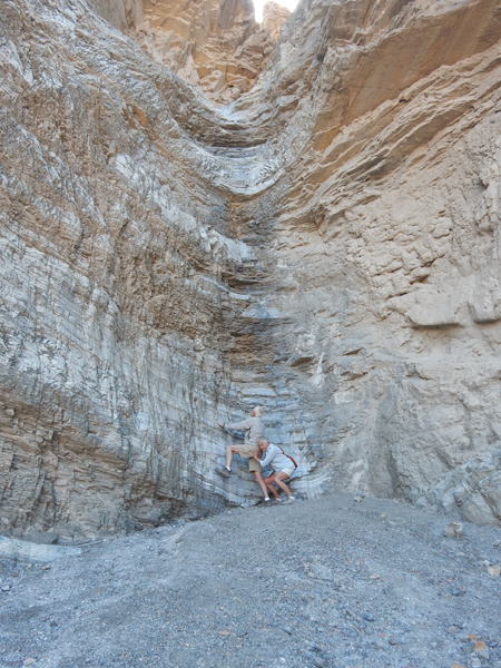
Getting a little help starting the 25 ft dryfall two miles in
Returning to car


Leaving Death Valley National Park
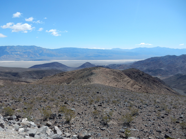
Death Valley from the Inyo Mountains (west)
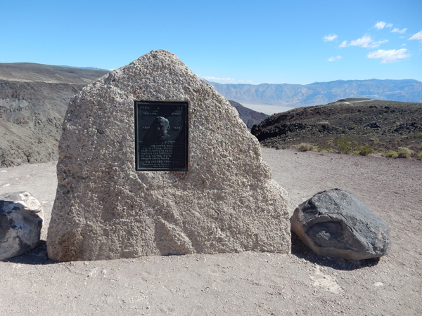
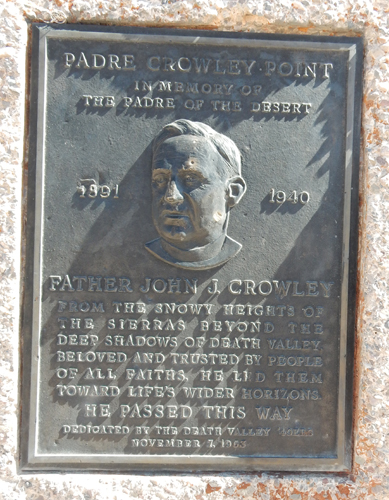
The Padre of the Desert
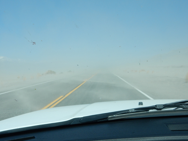
Sand storm
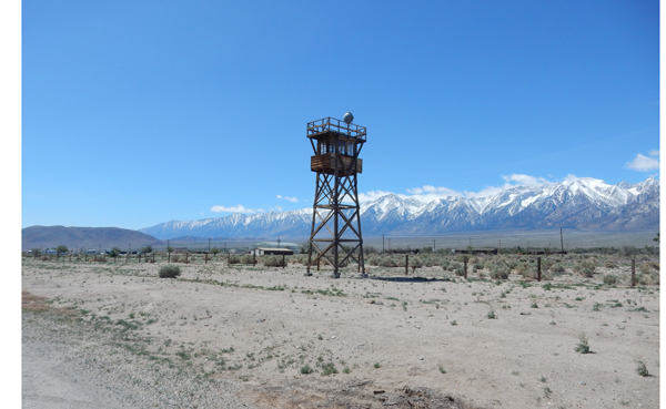
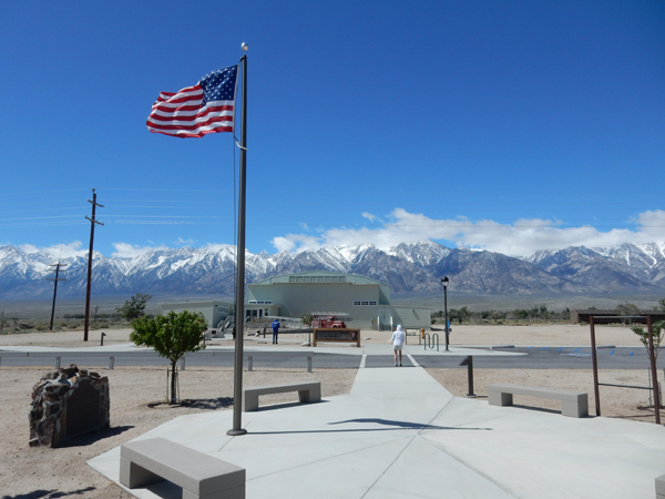
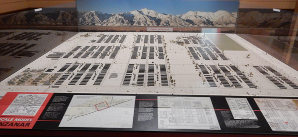
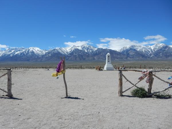
Manzanar National Historic Site
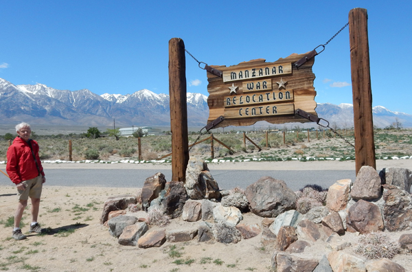
World War II Japanese internment camp
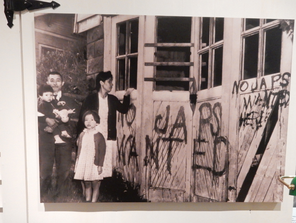
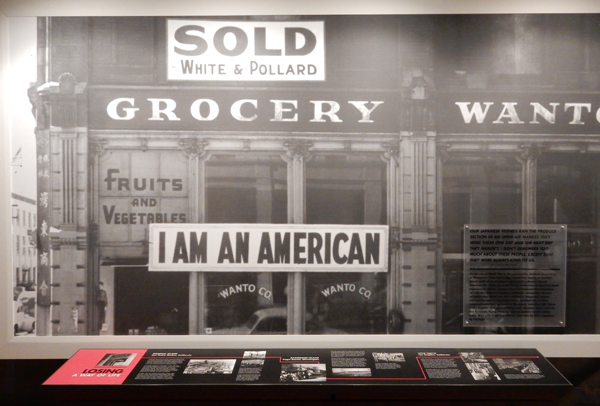
In 1942 President Franklin D. Roosevelt signed the Executive Order to remove “any or all persons” (of Japanese Ancestry), over 70,000 U.S. citizens, from the West Coast
Over 10,000 Japanese Americans and immigrants were put into this camp

Located on the eastern side of the Sierra Nevada Mountains
Cemetery Monument – “In the 1980s, a congressionally authorized commission concluded “race prejudice, war hysteria and a failure of political leadership” led to the incarceration of Japanese Americans during World War II. It recommended a presidential apology and individual payments of $20,000.”
Lone Pine CA McDonald’s with view of Mt Whitney!

Mt Whitney (14,496 ft) is the highpoint of CA and the 48 contiguous states. I climbed it in one day in 1967 with my friend Jay and in three days with Peter and Chad in 1999.

April 16 – Spent the weekend with Kate

Movie from roof of Griffith Park Observatory
Huntington Beach – Dog friendly part

Breakfast at Millie’s

Kate preparing for Morocco trip

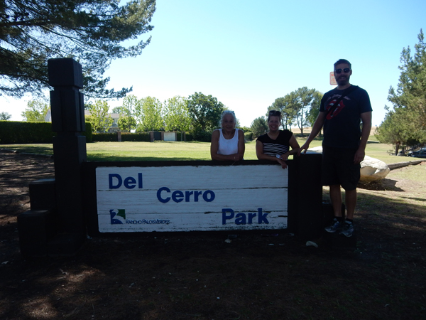
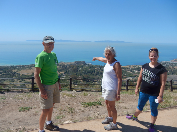
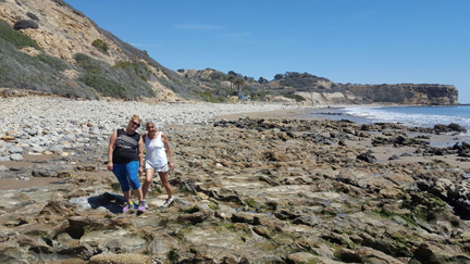
April 18 – Palos Verdes CA, hiked from Del Cerro Park down Portuguese Canyon to the Pacific Ocean with Peter and Heather
Watch your step – slippery, and don’t step on the wildlife!


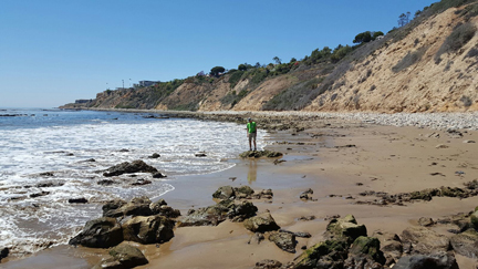
We then hiked the beach at Abalone Cove Shoreline Park to check out the tidal zone at low tide


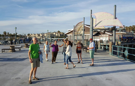
April 19 – Peter’s birthday, two mile walk to Redondo Beach Pier
Plastic bags to cover tar on feet from walking beach

Perfect temperature
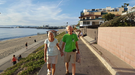

April 20 – 34 mile bike ride from Redondo Beach to Venice Beach CA
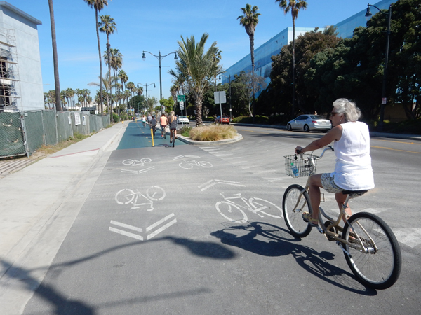
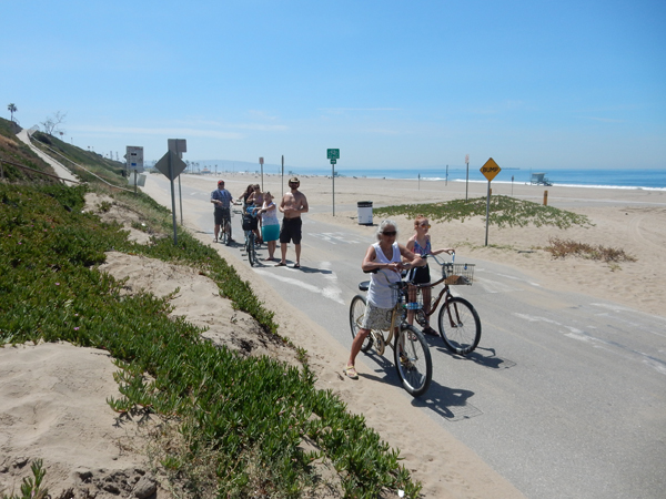
Returning to Redondo Beach

Riding past LAX

Helen, Melissa, Tony, Peter, Megan, Heather, Bailey

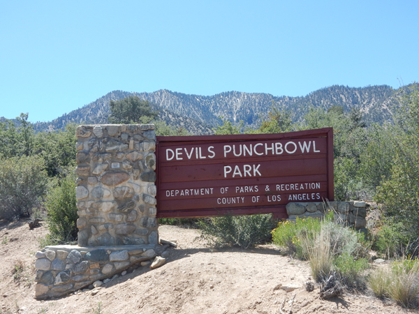
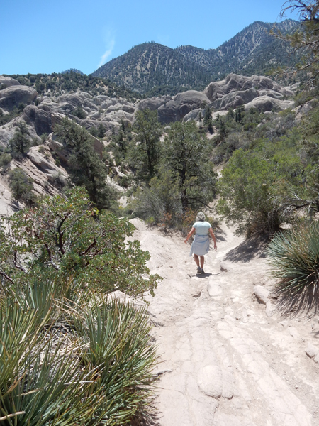
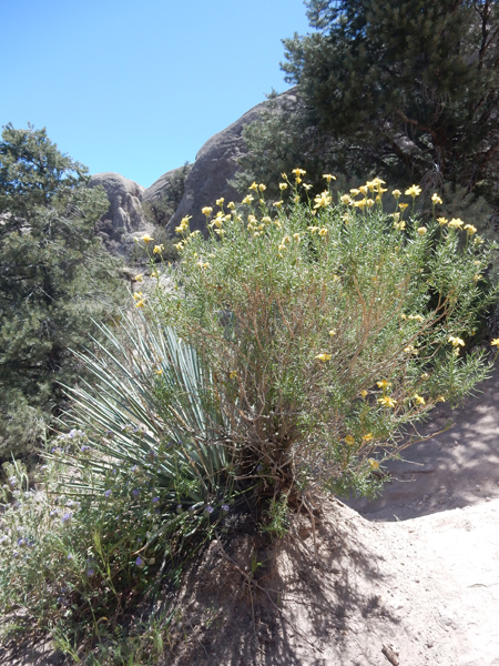
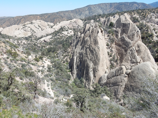
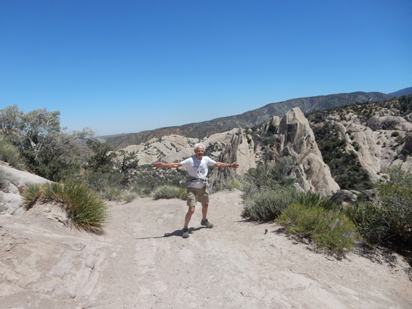
April 22 – Devil’s Punchbowl Natural Area is about two hours from Los Angeles. It may or may not now be part of the new San Gabriel Mountains National Monument – it is located within the Angeles National Forest
Good view from near the start of the loop trail

We hiked the Pinion Pathway Nature Trail and then the Devil’s Punch bowl loop trail – about 1.5 miles
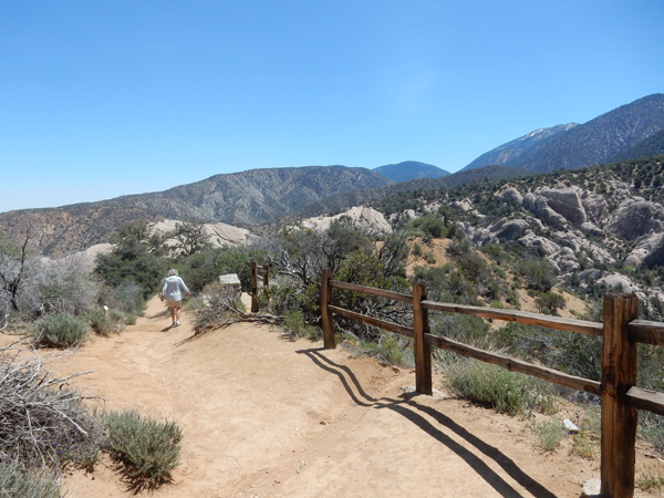
The Punchbowl was formed by the crush between the San Andreas Fault and the related Punchbowl Fault
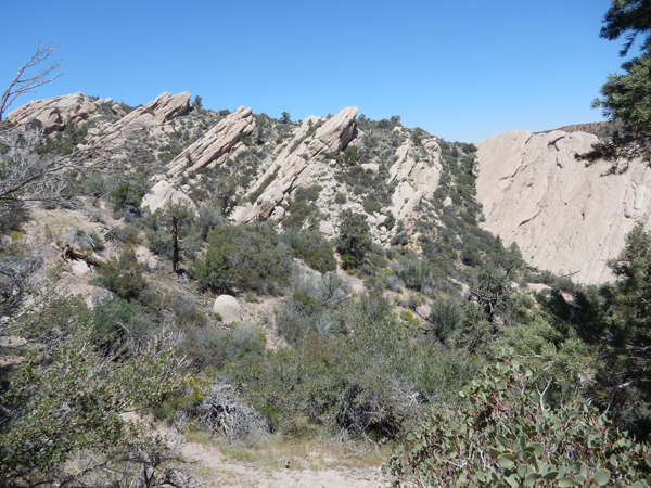
Nice hike through sandstone formations
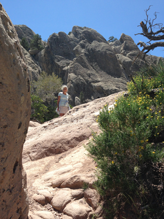
Couple at bottom of rock face near center of photo – about 300 ft below
50 mph wind gusts
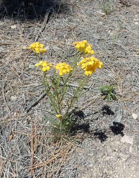
Delicate beauty near end of trail
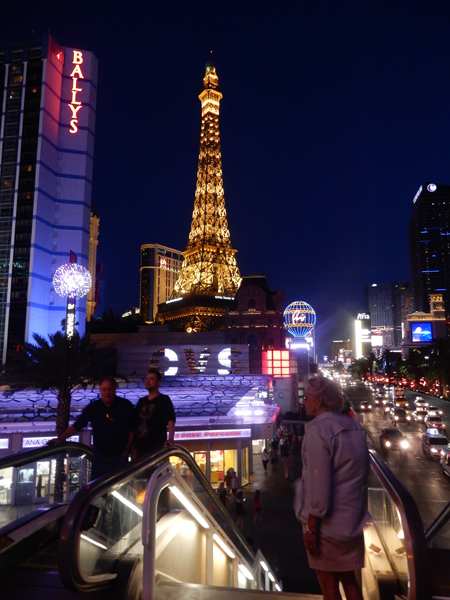
It took four hours to get to Las Vegas – got slowed down by another sand storm. Walked the strip between the Mandalay and the Bellagio (about 4 miles). Unfortunately, the fountain show at the Bellagio was canceled because of strong wind. Lost $1 at a penny slot machine. Boarded the 12:30am “red-eye” to Chicago, then flew to Washington DC and on to Dayton – 16 hours of travel time! We flew over our house twice, that’s what we get for using frequent flyer miles.

Leave a comment