
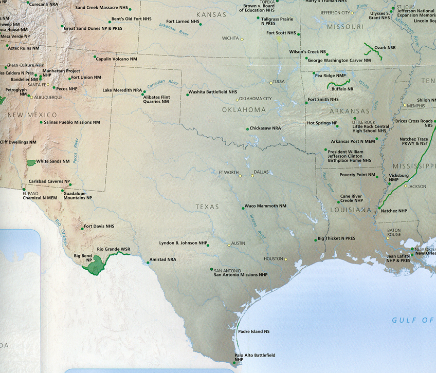
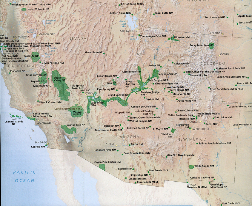
OH to CA, NP Unit Sites
March 31, 2021Traveled to Los Angeles to spend Easter with Kate. Helen flew, I drove 8,400 miles round trip re-visiting about forty NP Units. I slept in our SUV wherever I found myself at the end of each day. These visits were for both pleasure and to obtain additional photos and information related to these sites. Some of these units are already on our Blog, some are not. If I visited the unit before 2008 – it is new to this Blog.
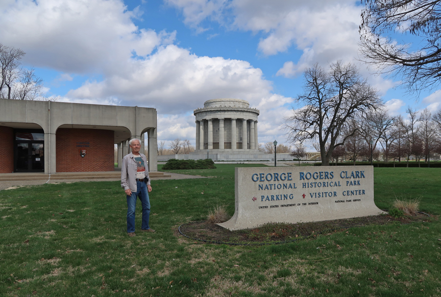
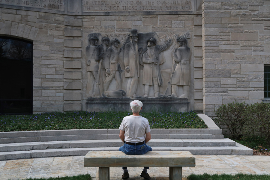
3/24/21 W – to George Rogers Clark NHP in SW Indiana. See Blog for May 2010.

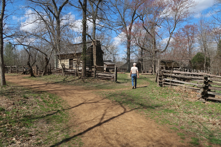
Lincoln Boyhood Home N MEM in SW Indiana. See Blog for May 2010. Lincoln’s mother, Nancy Hanks Lincoln, died of milk sickness; she is buried here.
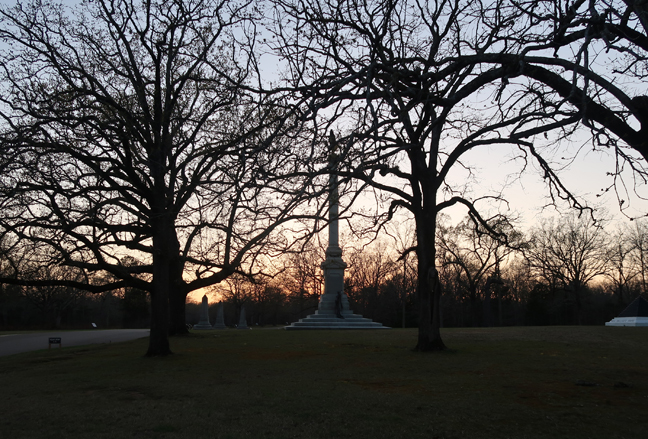
Shiloh NMP in TN. See Blog for May 2012. I arrived in the evening.
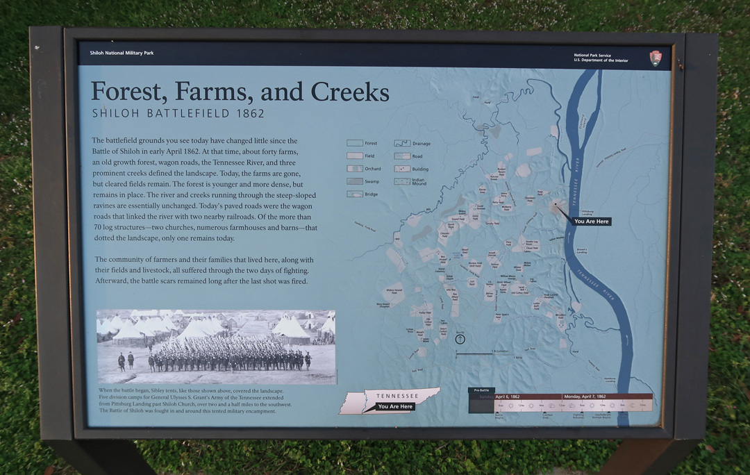
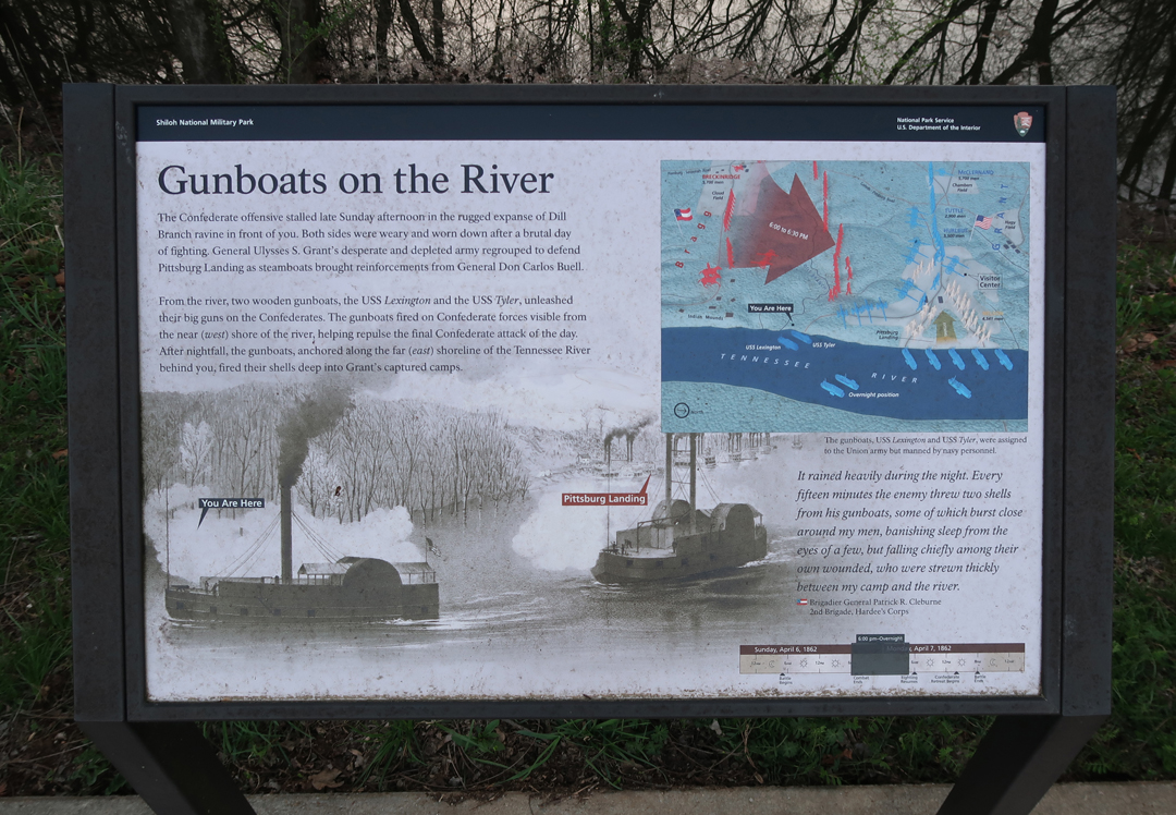
Here is some new information and photos related to the gunboats that participated in the battle.

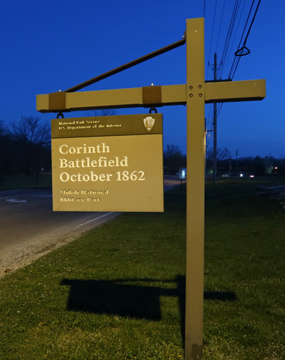
I also visited Corinth MS, where the Confederates were headquartered during this two-day battle.

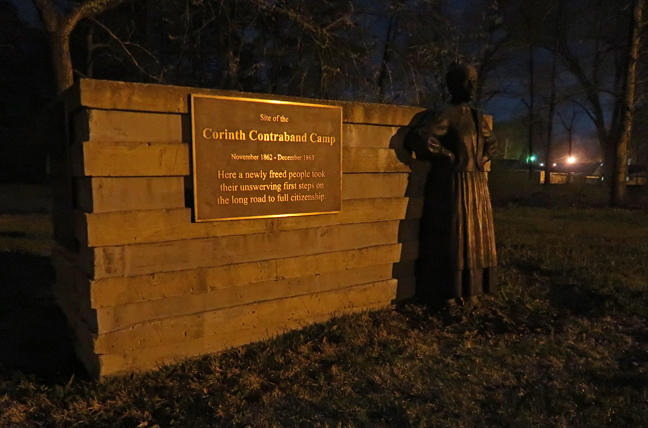
After the battle, the Federal forces supported a “Contraband Camp” for escaped slaves.


Shiloh NMP also contains the Shiloh Indian Mounds National Historic Landmark. Eight hundred years ago, a town occupied the high river bluff overlooking the Tennessee River.


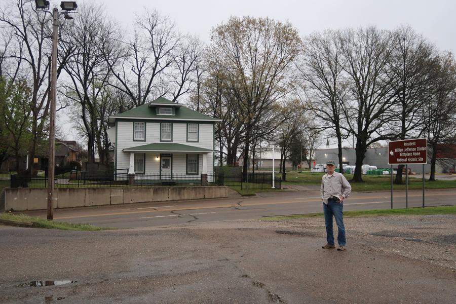
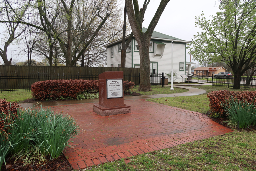
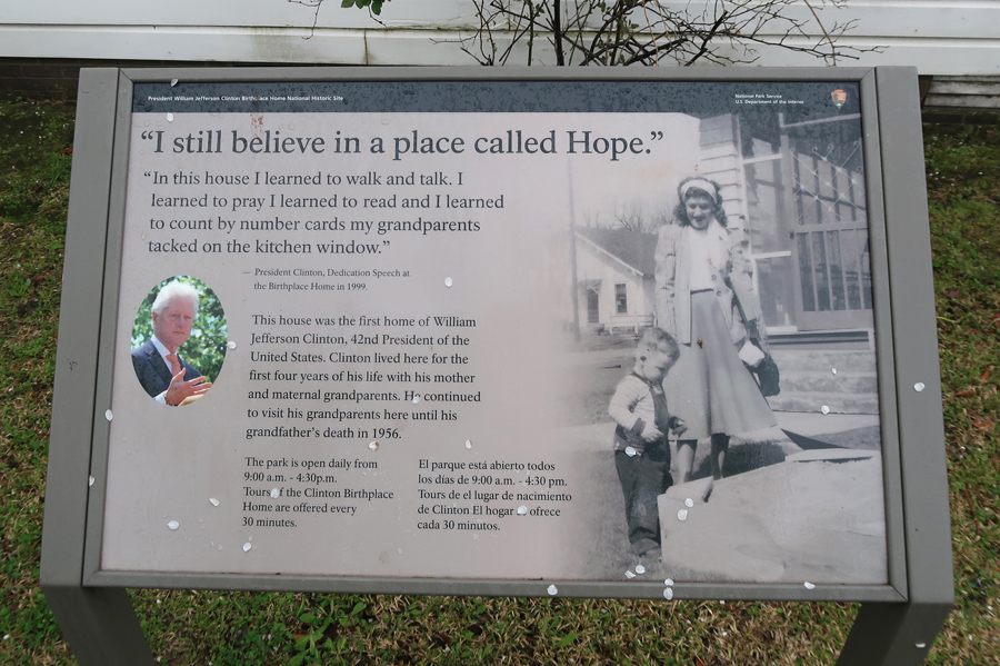
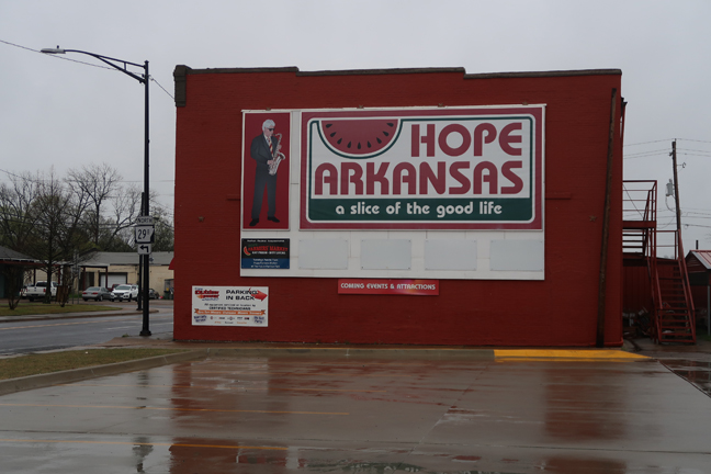
3/25 Th – President William Jefferson Clinton Birthplace Home NHS in Hope AR. See Blog for May 2014. Clinton lived here for seven years. He was born in 1946 and his family moved to Hot Springs AR in 1953.
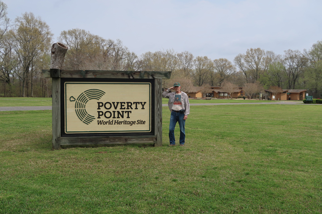
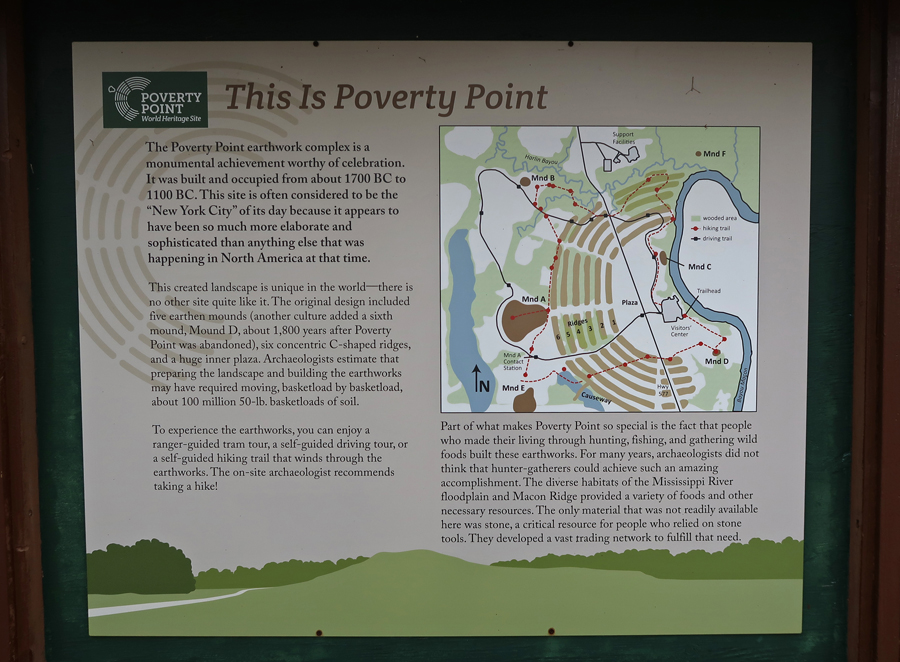
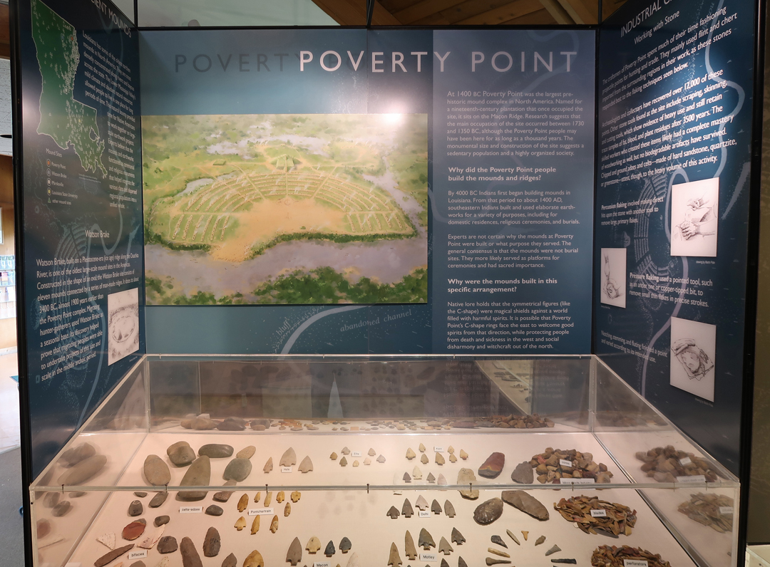
Poverty Point NM in LA. See Blog for May 2010. This is a UNESCO World Heritage Site. When Stonehenge was being built and Queen Nefertiti ruled Egypt, American Indians were building earthen monuments in north LA. This site is somewhat unique in the NP System in that it is run by the state of LA.

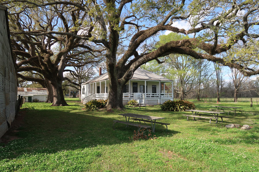
Cane River Creole NHP in LA. See Blog for May 2012 when we did Oakland Plantation. On this trip, I did Magnolia Plantation. Both were cotton plantations before and after the Civil War.
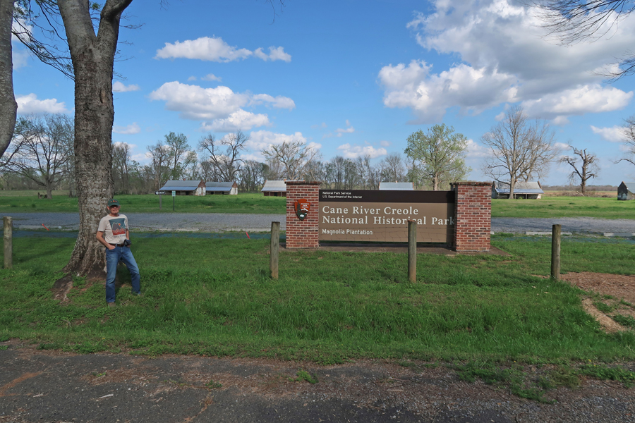
The Magnolia’s big house (private property) was burned during the Civil War. It was rebuilt by the Hertzog family in 1896 and they still live there.

Overseer’s House and Hospital
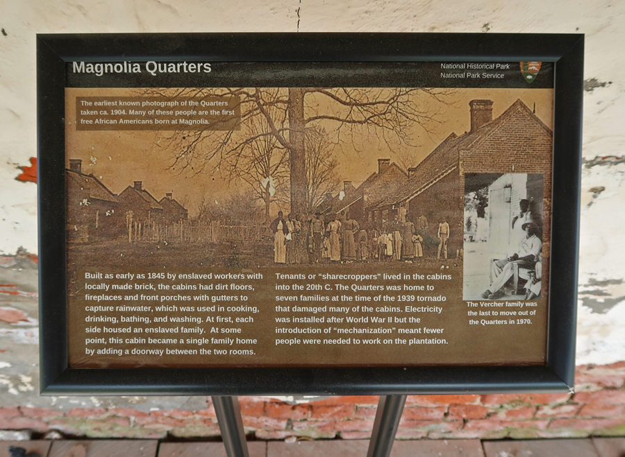
Slave/Tenant Quarters made of brick – unusual.

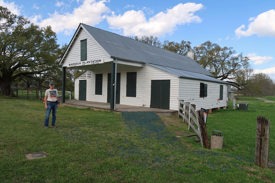
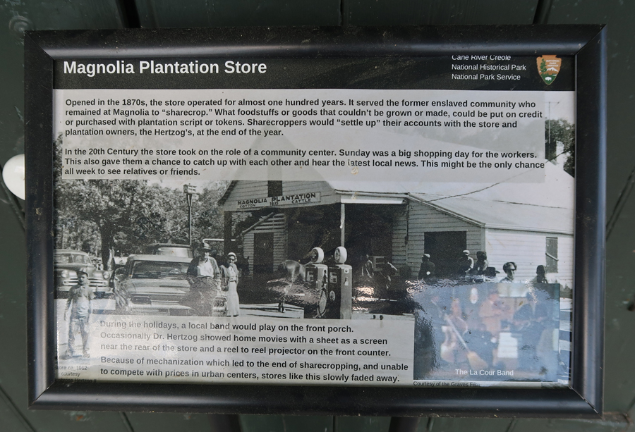
Plantation Store
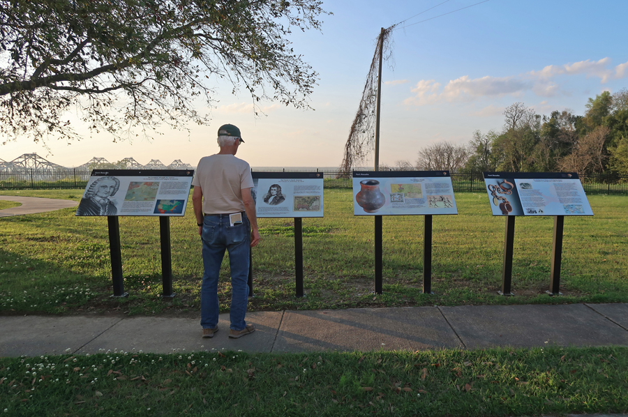
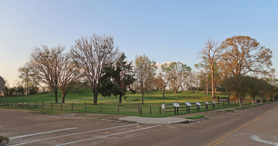
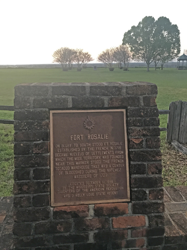
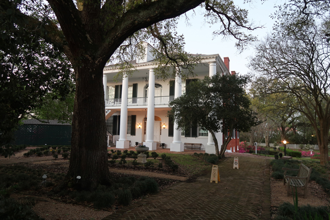
Natchez NHP in MS. See Blog for August 2013. On this trip I concentrated on Natchez history and Fort Rosalie. Forts on the bluff overlooking the Mississippi River were controlled by the French, British, Spanish, and now Americans.
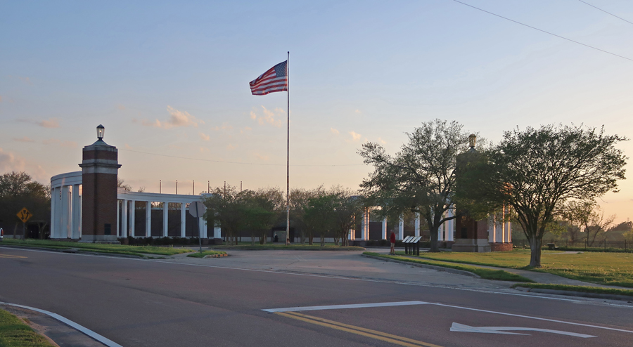

Rosalie Mansion is owned by the Mississippi Daughters of the American Revolution (DAR)


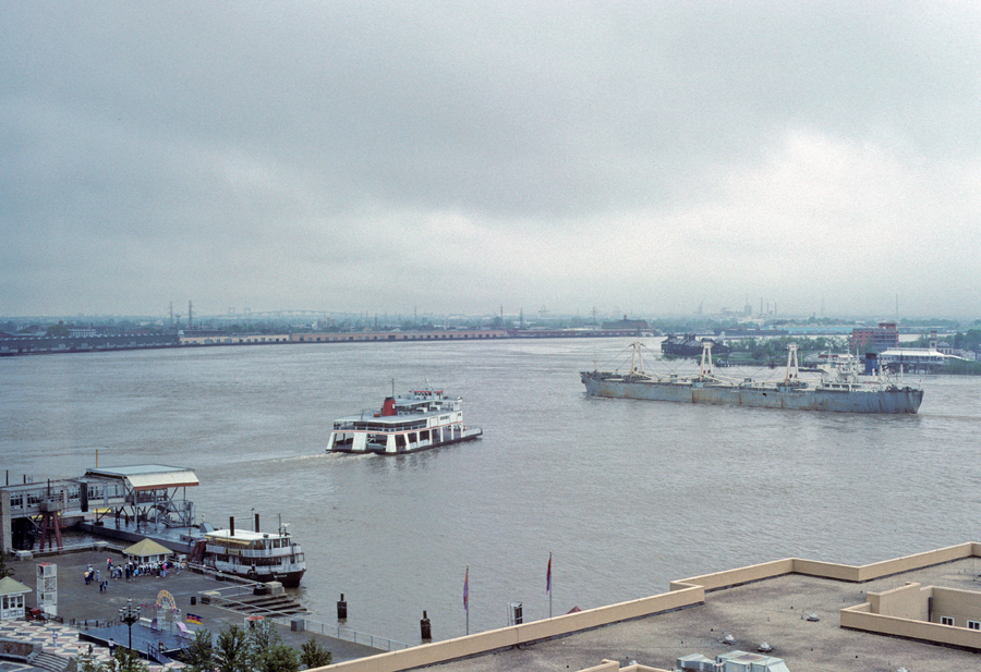
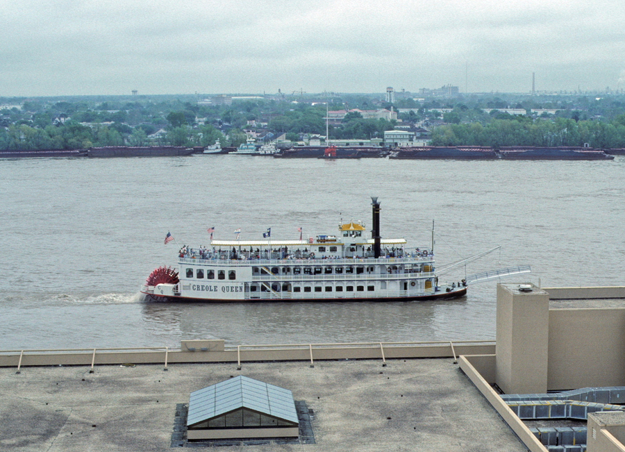
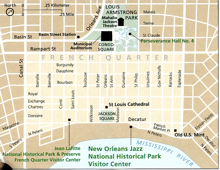
3/26 F – Our first visit to New Orleans was in December 1969 on our way to Mexico from MD in our new (used) VW camper. I have visited New Orleans many times, but this is my first New Orleans post to this Blog. These first photos are from 1990.
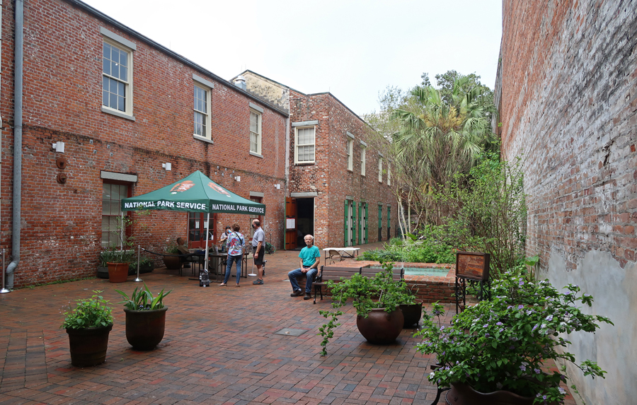
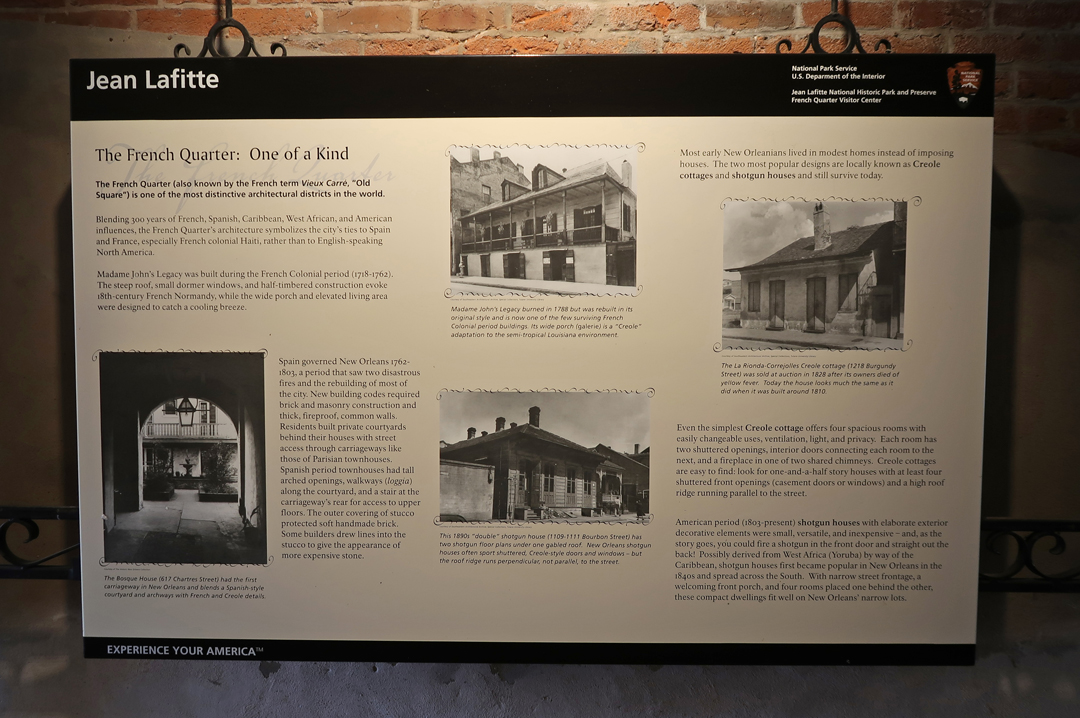
Jean Lafitte NHP and PRES has six sites.

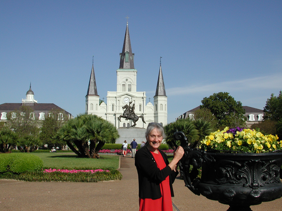
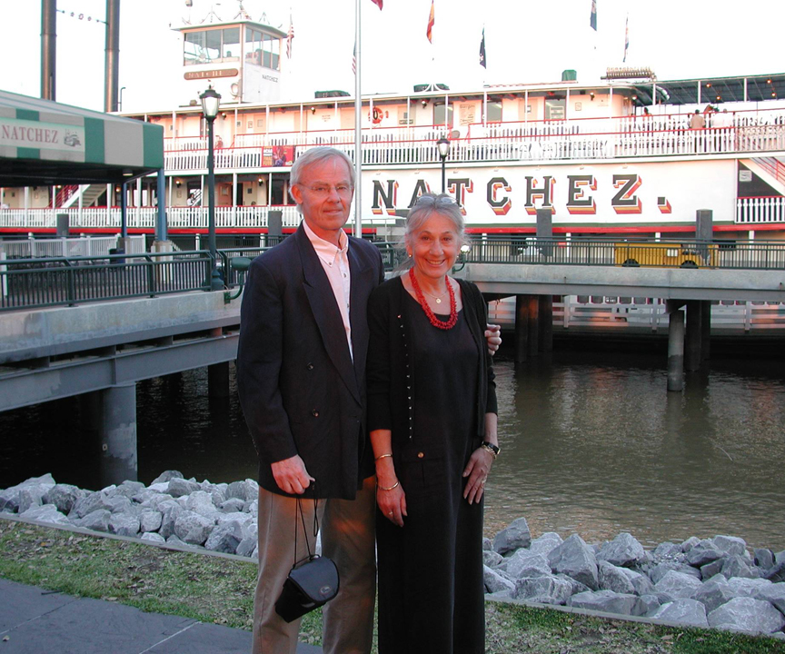
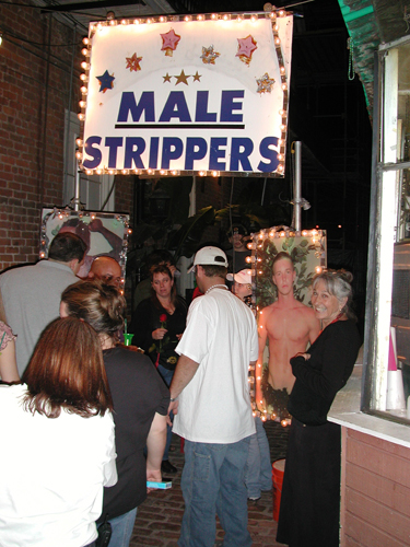
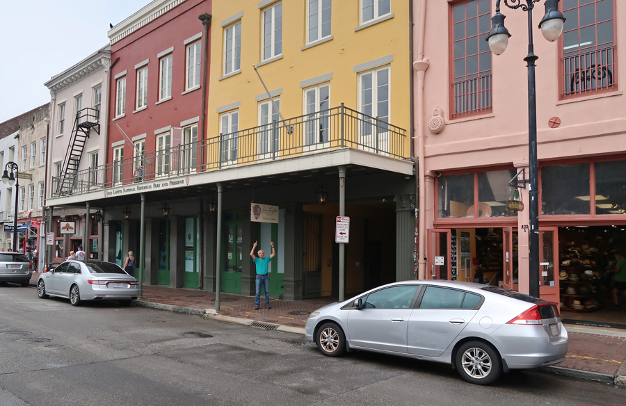
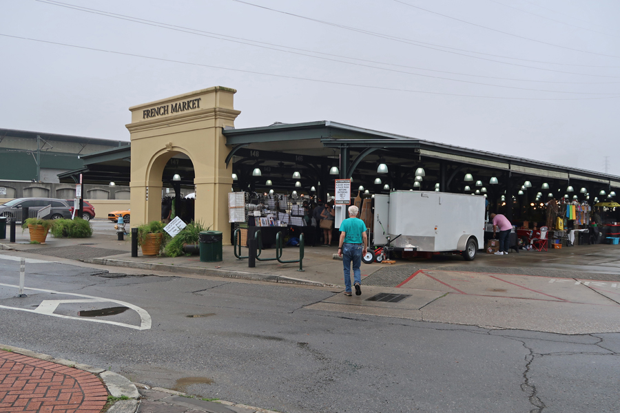
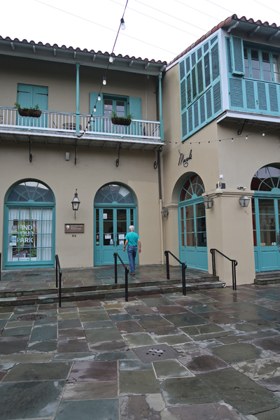
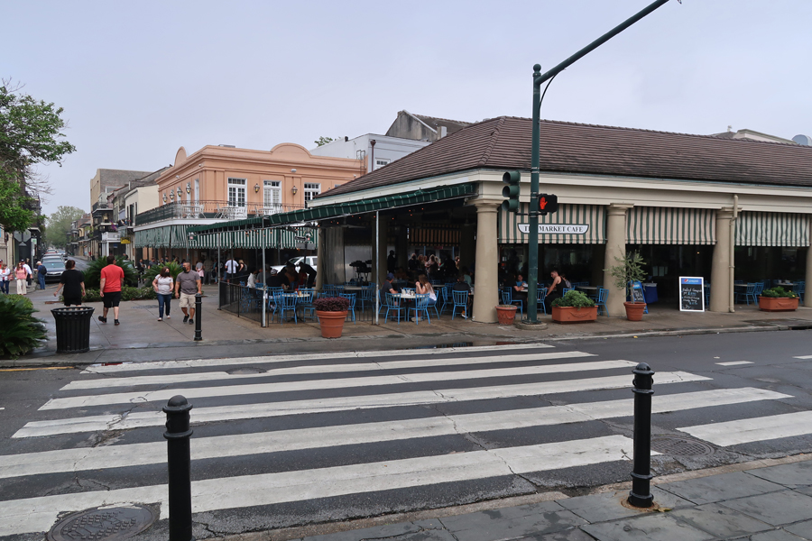
I will start with the New Orleans French Quarter. These photos are from 2004 – a visit to Jackson Square, a cruise on the paddleboat Natchez, and a night on the town. We enjoyed lots of Cajun food!
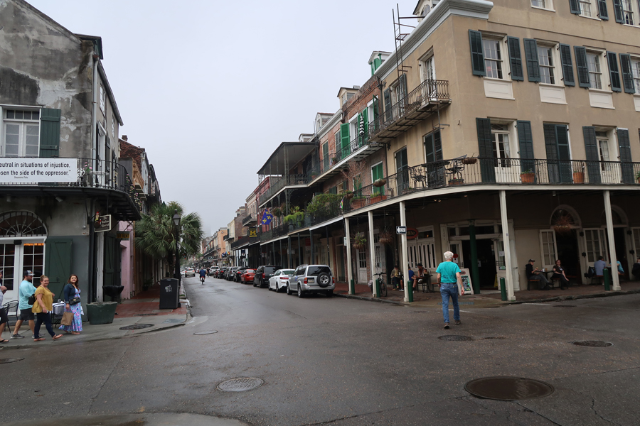
The remainder of the photos are from March 2021. French iron work –
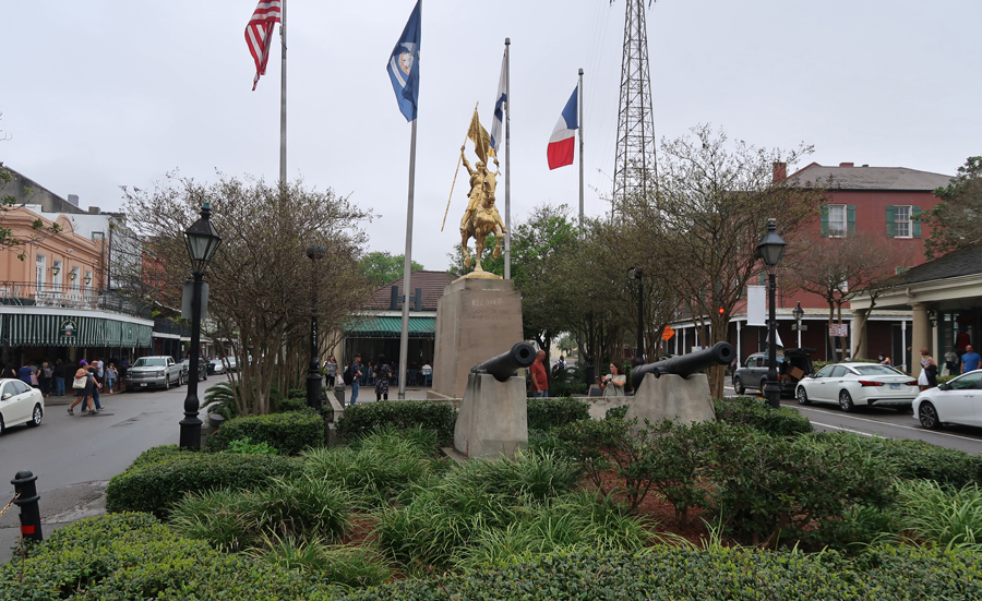
Joan of Arc – Maid of Orleans
Jean Lafitte NHP Vis Ctr
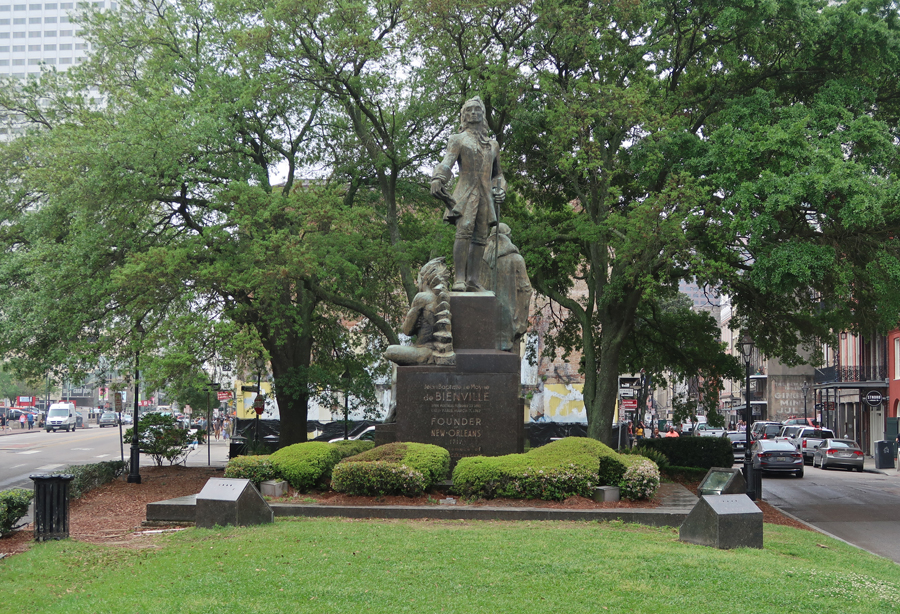
de Bienville Founder of New Orleans in 1717
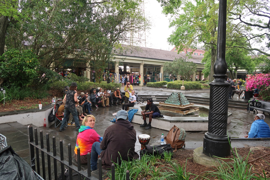
Latrobe Square and French Market

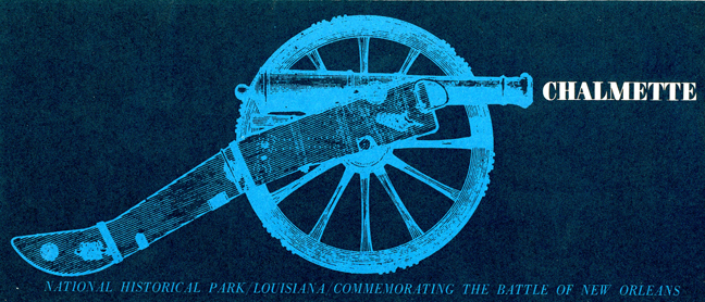
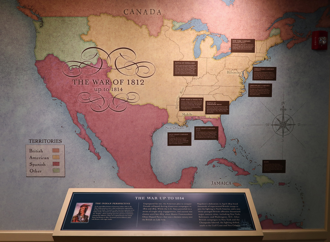
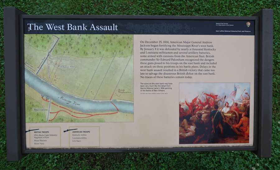
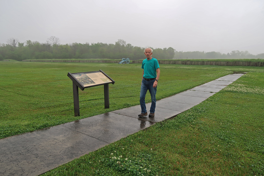
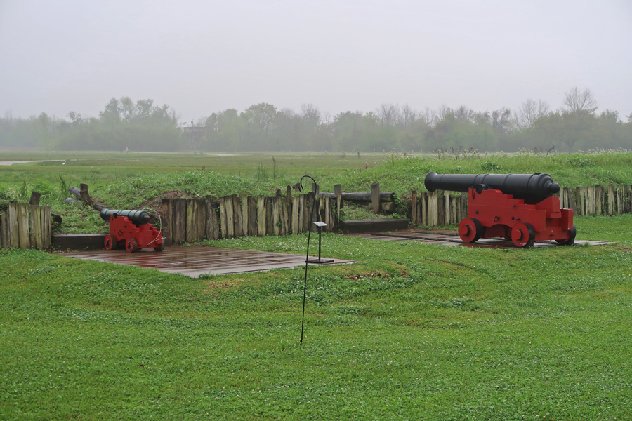
The second site is Chalmette Battlefield. It commemorates Andrew Jackson’s victory over the British in the Battle of New Orleans. This battle took place on January 8, 1815 AFTER the U.S. and Britain ended the war with the Treaty of Ghent. However, Congress did not ratify the treaty until February 1815, so fighting continued – seems senseless! At the same time, it has to be recognized that there were lengthy delays in communication in 1815.

War of 1812
Battle of New Orleans


British positions


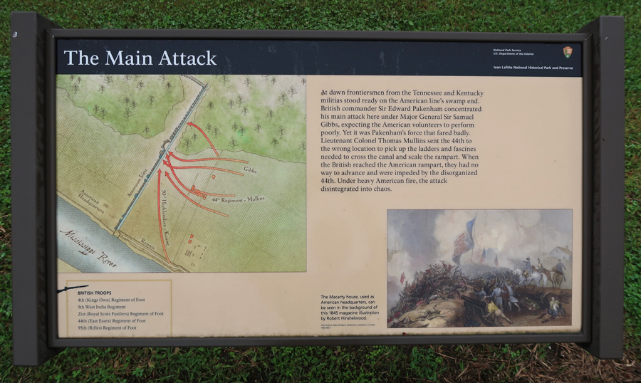
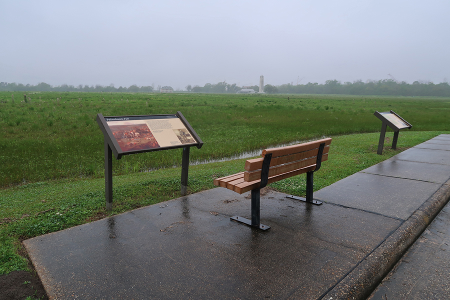
Packenham’s Fall

American positions

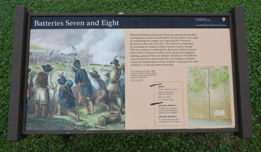
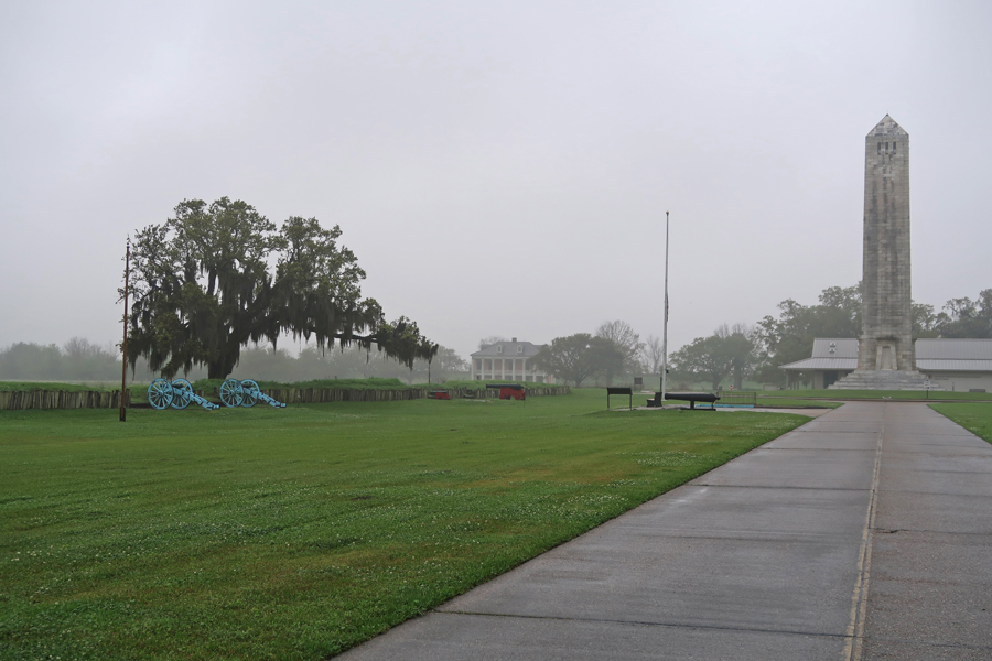
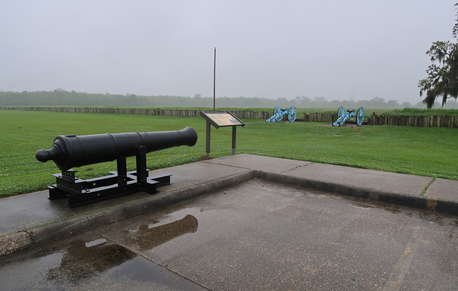

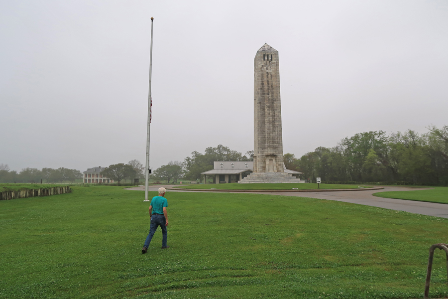
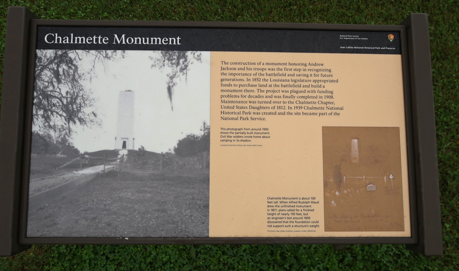
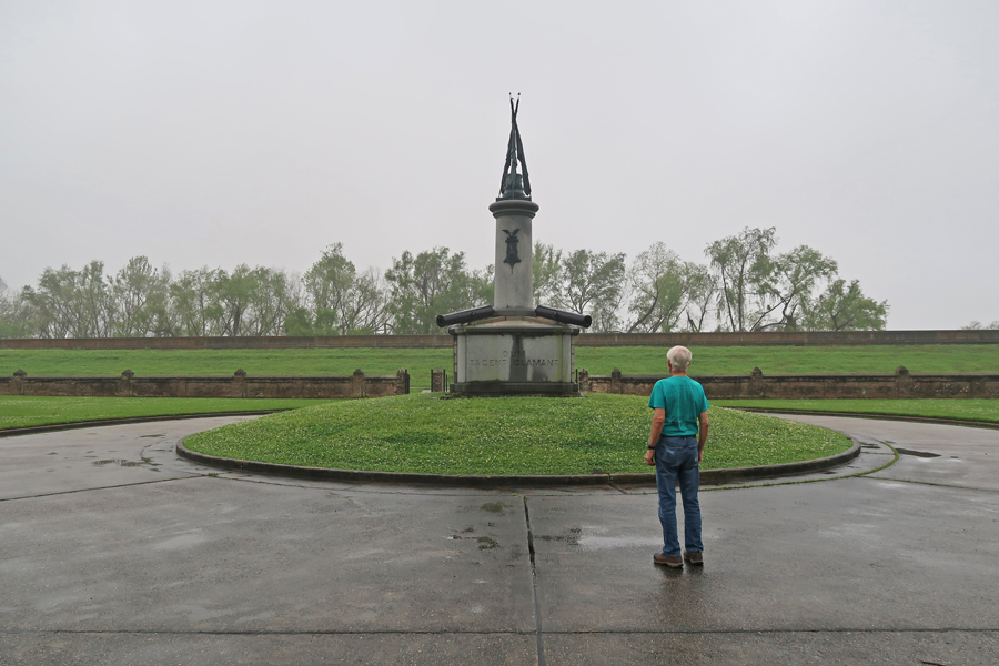
Chalmette Monument
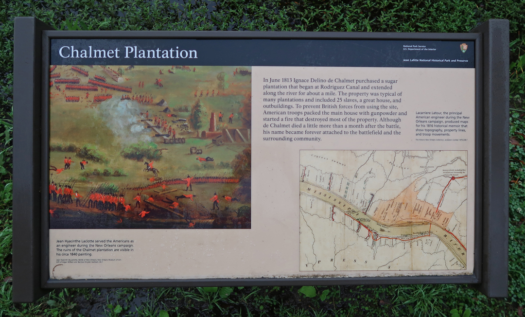
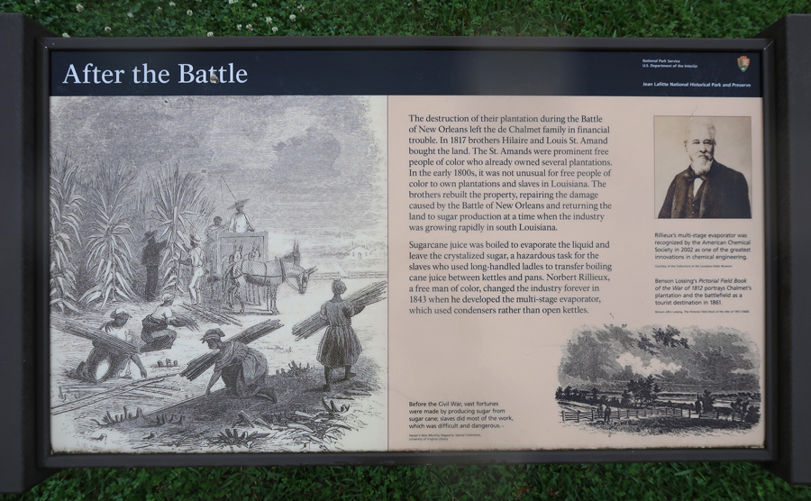
Chalmette Plantation
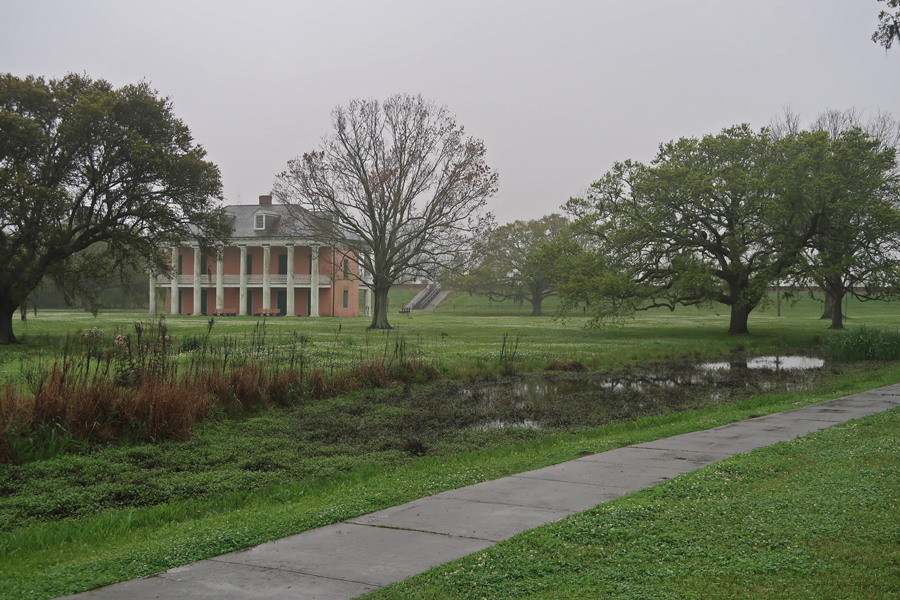
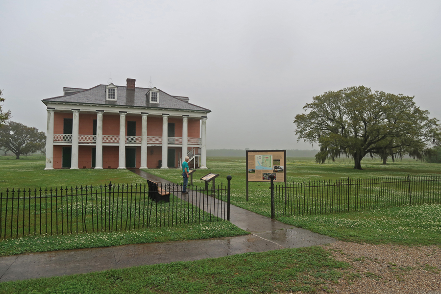
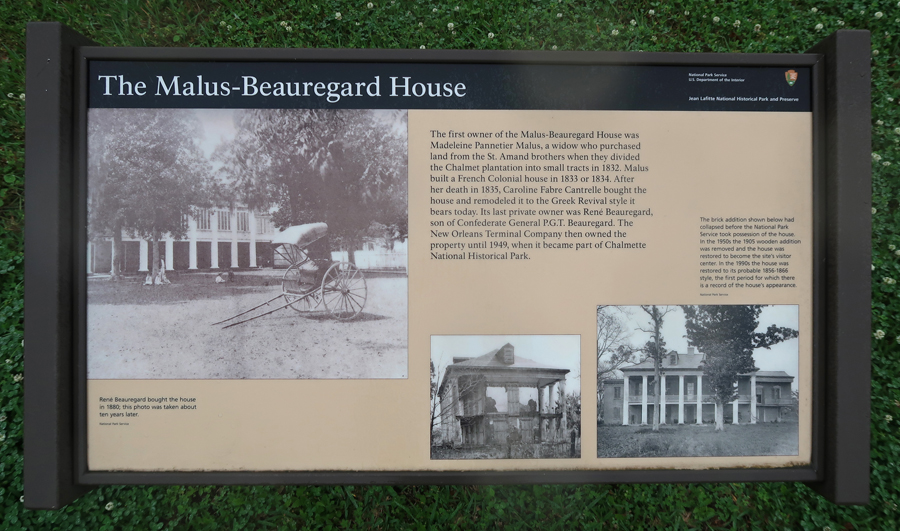
Malus-Beauregard House


Afterward
Chalmette National Cemetery

Grand Army of the Republic Monument
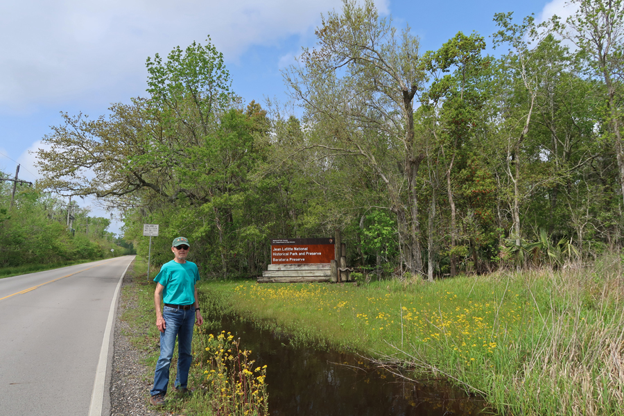
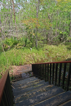
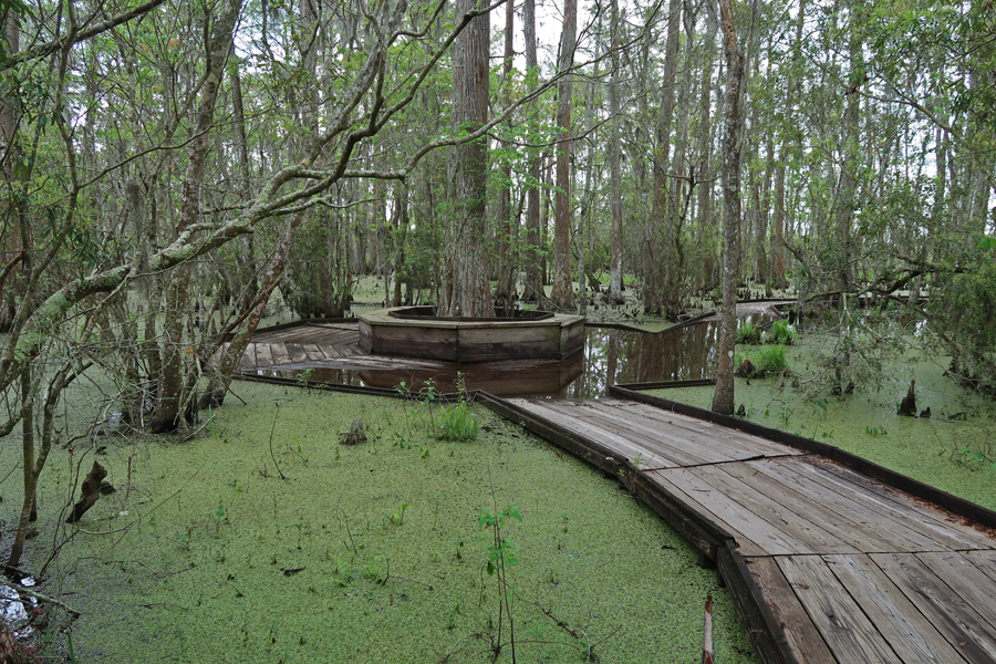
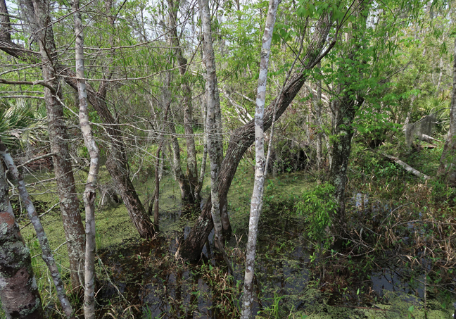
The third site is Barataria Preserve (Marrero LA), 26,000 acres of marsh, swamp, and hardwood forest.
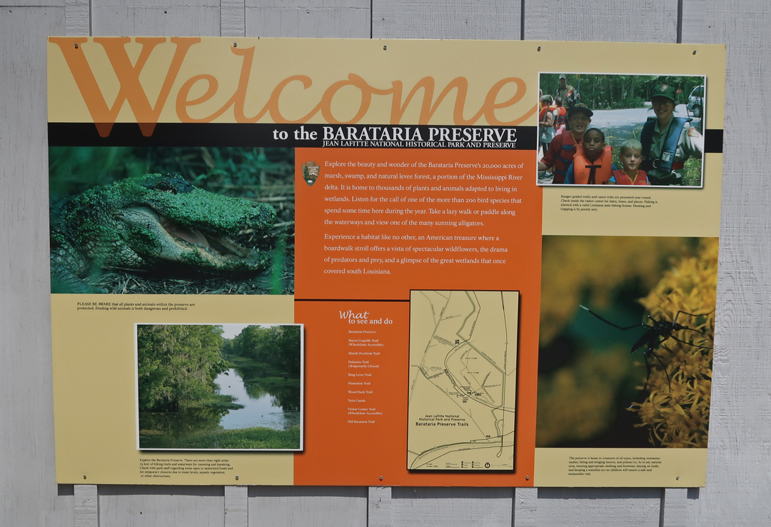
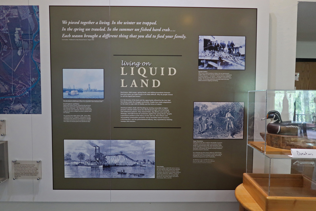
The Land is Sinking, and the Water is Rising

Visitor Center Trail
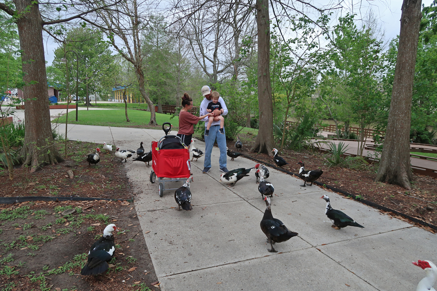
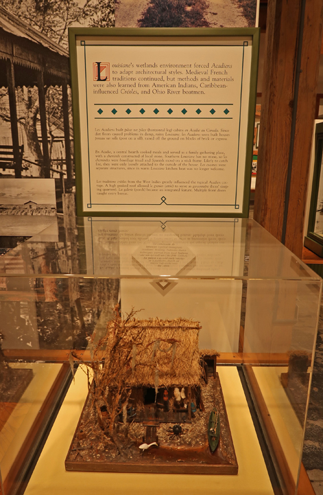
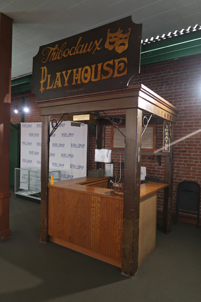
The fourth site is the Wetlands Acadian Cultural Center in Thibodaux. First, the Wetlands adjacent to the Bayou Lafourche.


Then the Cultural Center


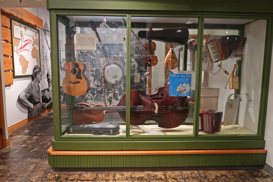
There are regular performances in the Auditorium (Theater)
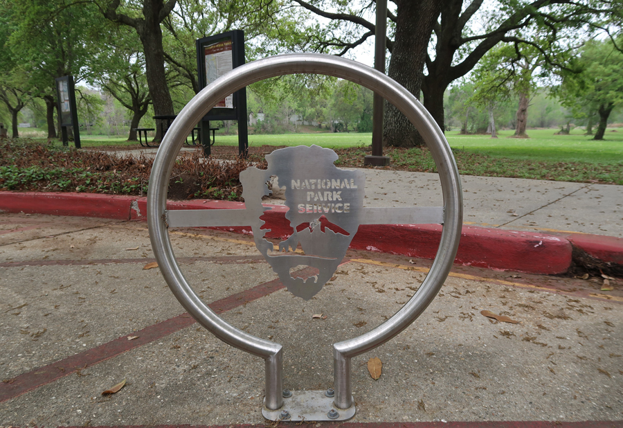
The fifth site is the Acadian Cultural Center Lafayette. There exhibits, films, program, and boat tours of Bayou Vermilion.
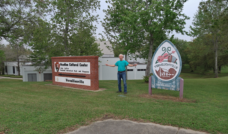
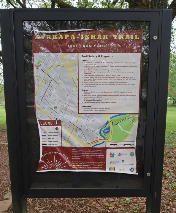
The Atakapa-Ishak Trail
Lafayette’s Festivals Acadiens is held each year

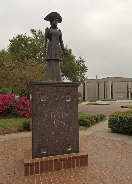
The sixth and final site of Jean Lafitte National Historical Park and Preserve is the Prairie Acadian Cultural Center in Eunice. They have exhibits, Cajun music and dancing, cooking demonstrations and live radio programs at the Liberty Theater.


When in the French Quarter, I did a re-visit of New Orleans Jazz NHP. In 1990, I was able to get tickets for a performance of the Preservation Hall Jazz Band, which was really great. This time neither the Visitor Center nor Preservation Hall were open because of the COVID Pandemic. Also, it is my understanding that both are being relocated to Louis Armstrong Park near Congo Square.


French ironwork balconies on Decatur St

New Orleans Jazz NHP Visitor Center on N Peters
Luncheon Jazz Band at the Market Café
Street performers at Latrobe Park
The New Orleans Jazz Museum is now located in the old U.S. Mint


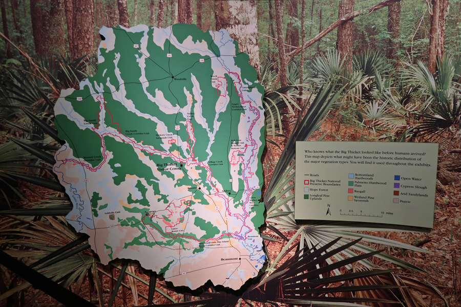
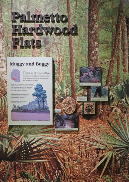
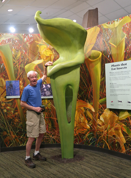
3/27 Sat – Chad and I did a trip to Big Thicket N PRES in August 2013 – see Blog. It is in SE TX north of Beaumont. Visitor Center displays –
John and I hiked three trails in the Preserve. The first was the Sundew Trail. We did the one-mile outer loop.
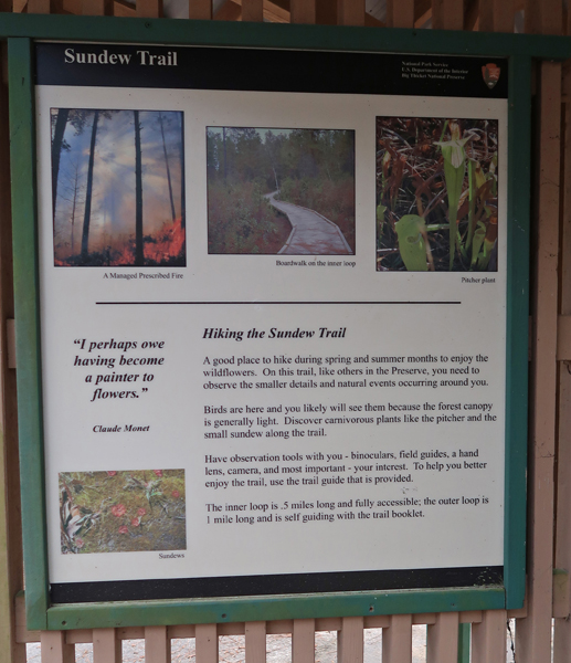
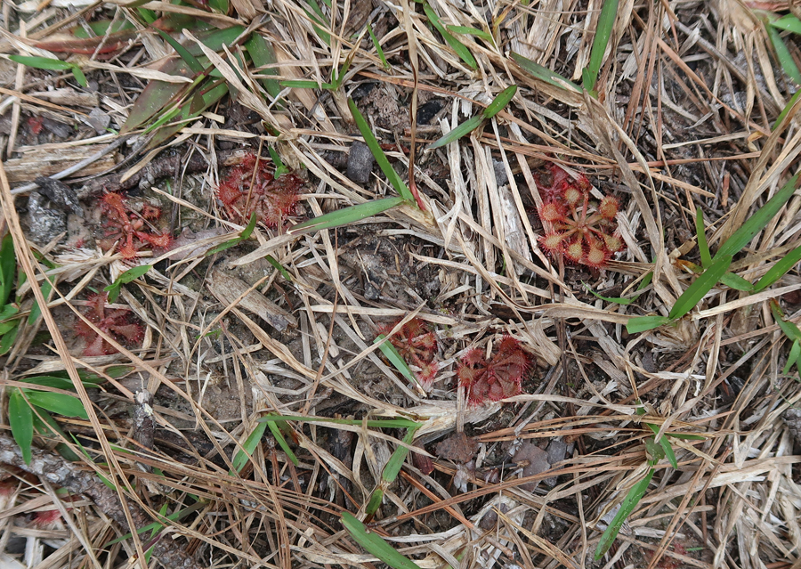
Sundew plants – their sticky globules look like dew drops, attracting and holding insect to digest.

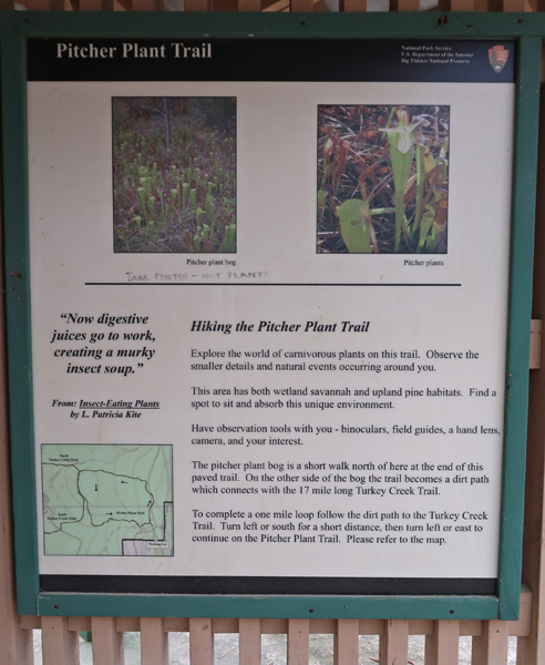
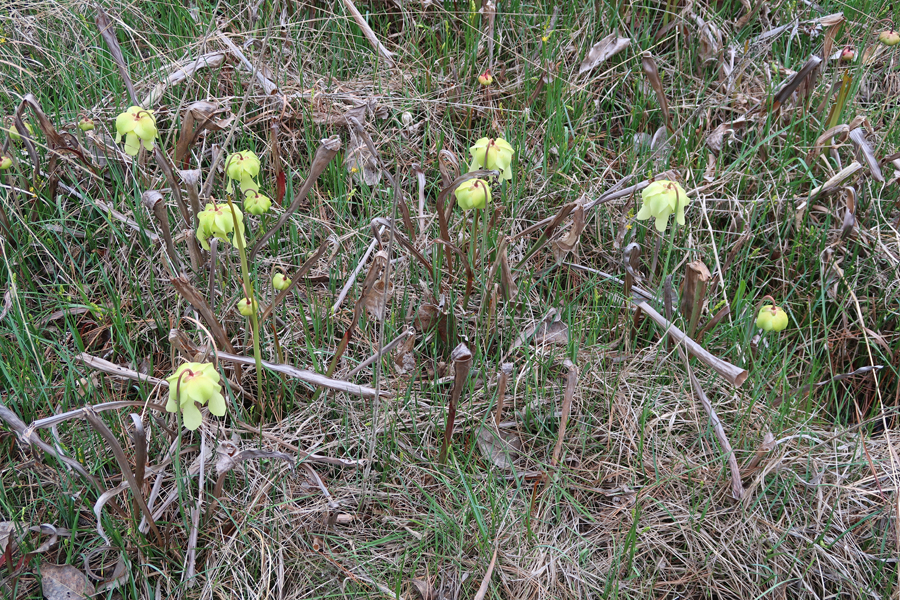
The second trail was another one-mile loop – the Pitcher Plant (insect eating) Trail

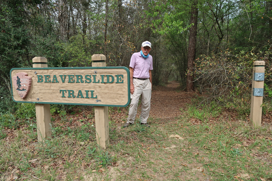
John at the start of the Beaver Slide Trail – bottomland hardwoods

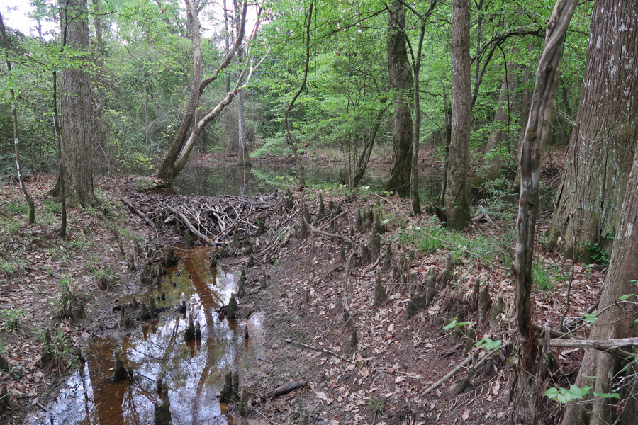
Beaver Dam
Look what I found – bladderwort flower, another carnivorous plant.

Ok – am I going to cross the stream?
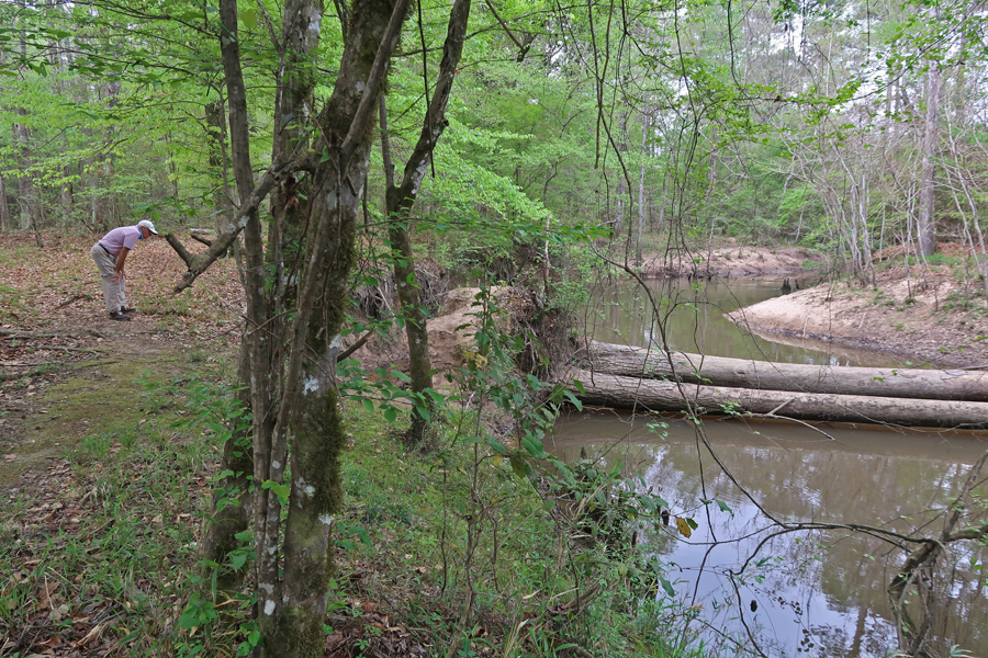
Cypress Slough

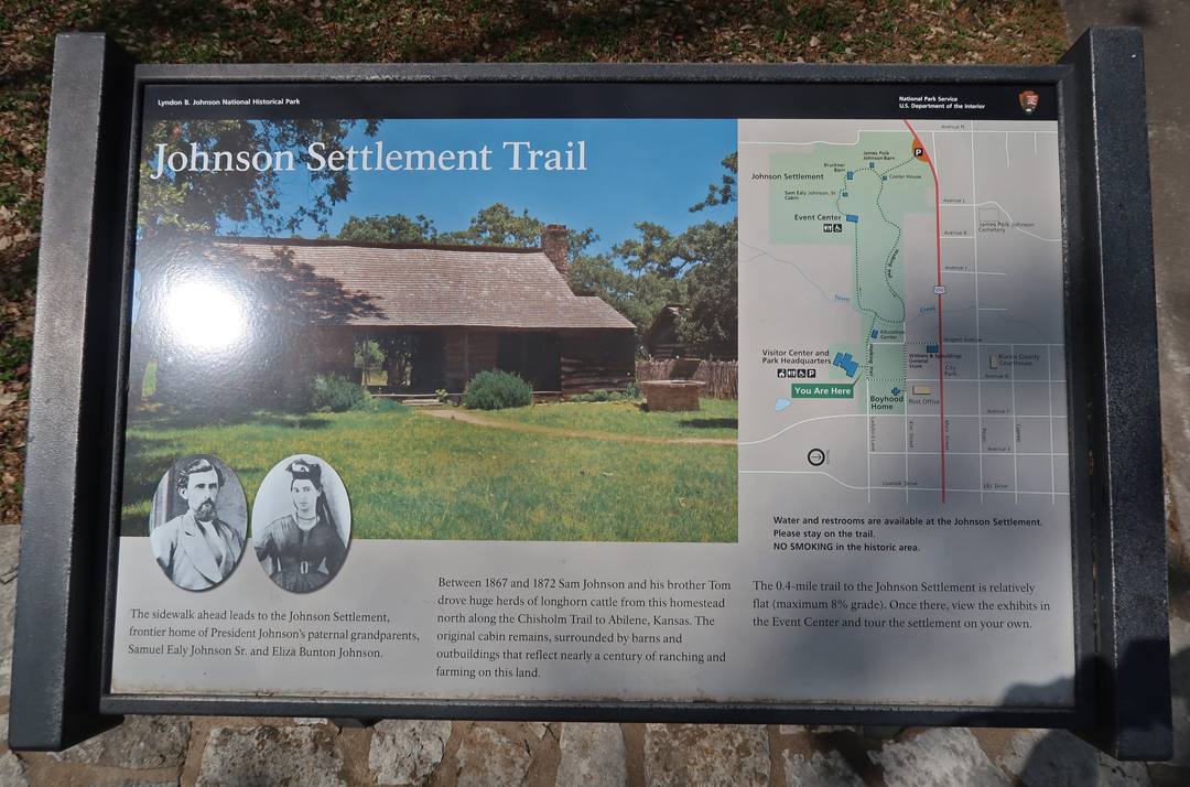
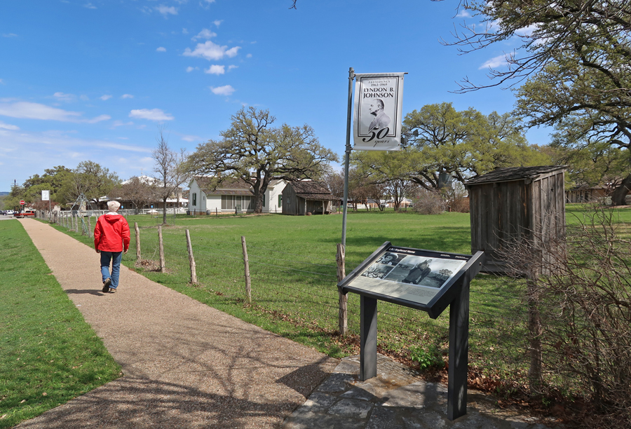
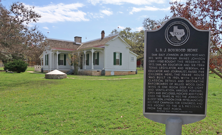
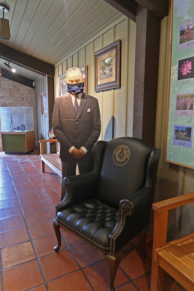
3/28 Sun – I had a 5-hour drive to Lyndon B. Johnson NHP, in Johnson City TX – also see Blog for May 2012.

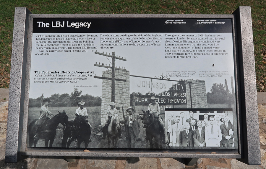
Johnson City TX


The Johnson Settlement Trail (~1 mile) takes you through the Historical Park. The first stop is Sam Ealy Johnson Sr.’s Cabin
After doing the Johnson Settlement Loop, the walk takes you to the LBJ Boyhood Home

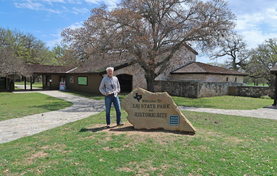
The LBJ Ranch (Texas White House) and LBJ State Park and Historic Site are 14 miles W of Johnson City
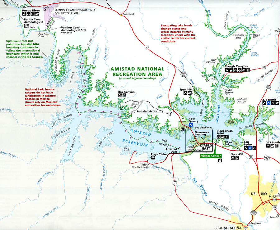
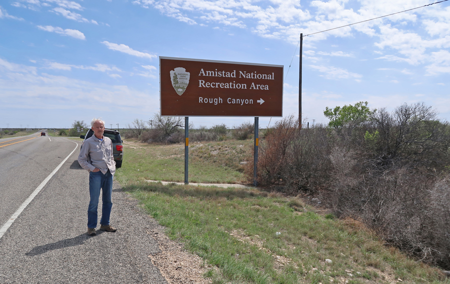
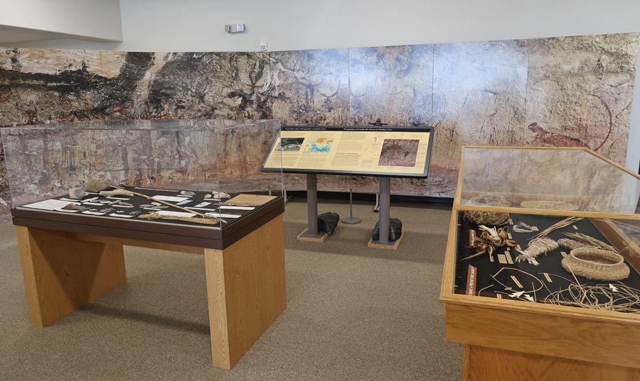
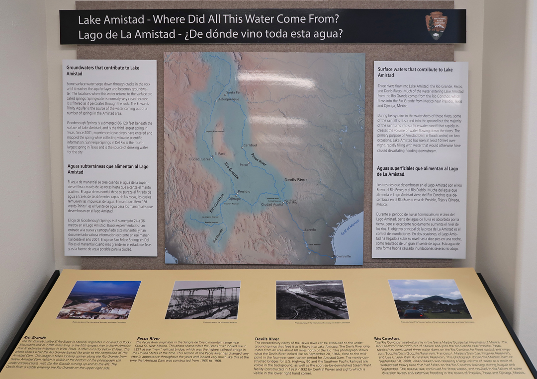
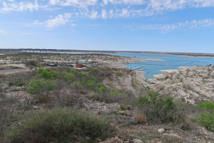
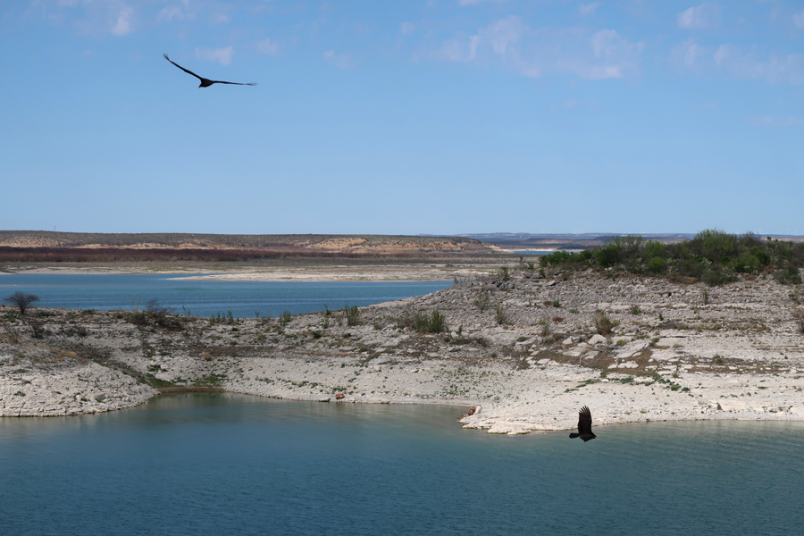
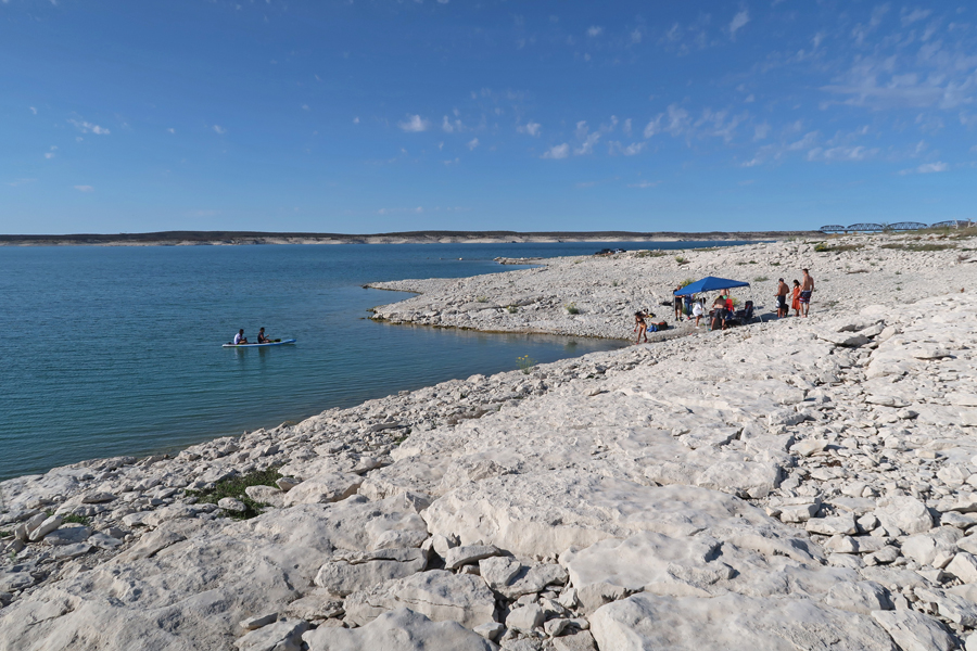
Amistad National Recreation Area is in South Central TX on the Mexican border. Amistad means “friendship” in Spanish. The Amistad Dam on the Rio Grande River produced a reservoir that now provides for recreation. Helen and I visited in 2006 but many of my photos did not come back from processing that year. Therefore, I returned on this trip to fill the photo gap.

Visitor Center displays
Governors Landing
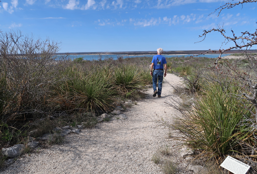
I did the short Diablo East Nature Trail
This is a photo from the end of Viewpoint Rd
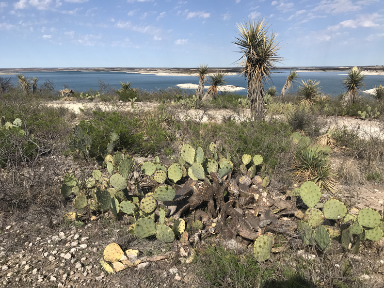
Again, this is a National Recreation Area – Amistad Reservoir
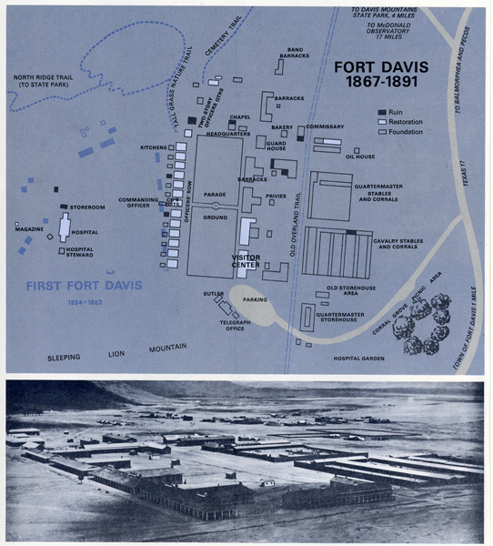
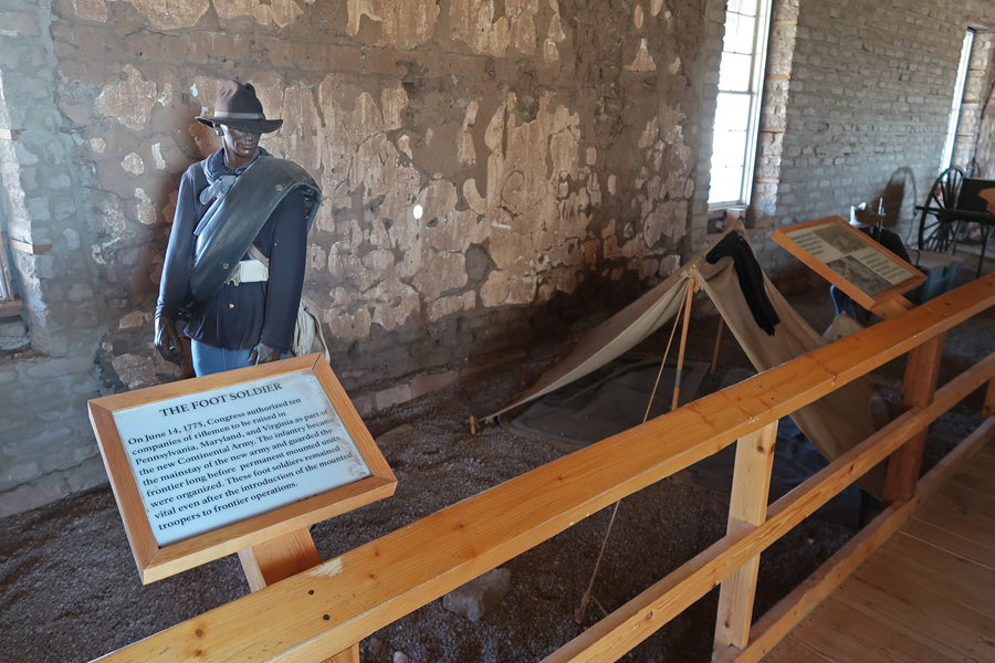
3/29 M – arrived at Fort Davis NHS in west TX at 8am
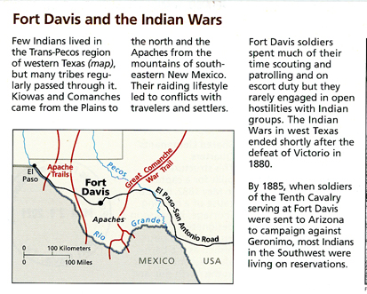
Troops from Fort Davis protected immigrants, freighters, mail coaches, and travelers on the San Antonio – El Paso Road from Comanches and Apaches, 1854 to 1891.
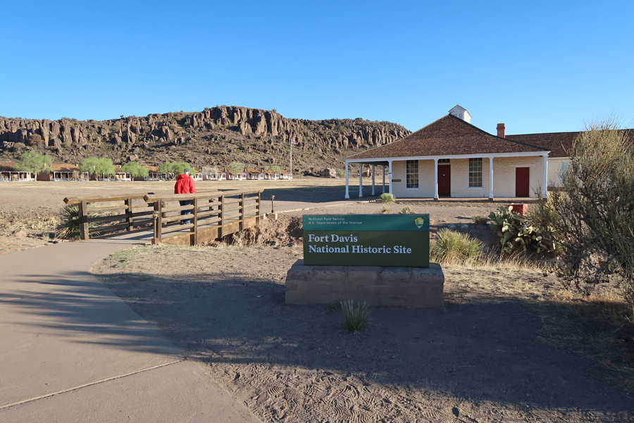
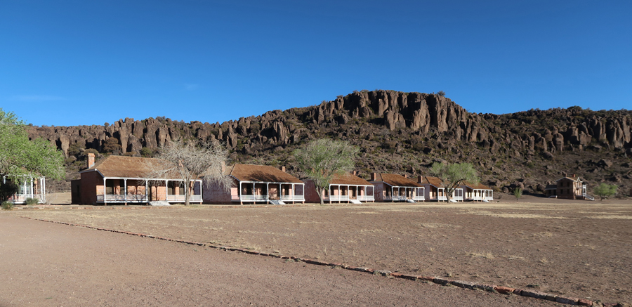
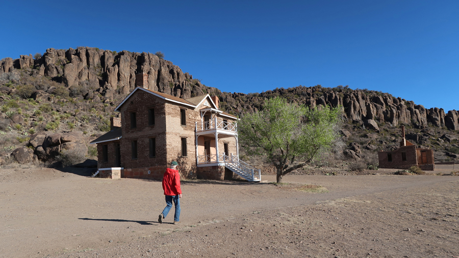

Fort Davis
The fort is noted for its Buffalo Soldiers and bugle calls. Historians think Indians named the black troops “Buffalo Soldiers,” because their hair resembled that of buffalos as well as their fighting ability.

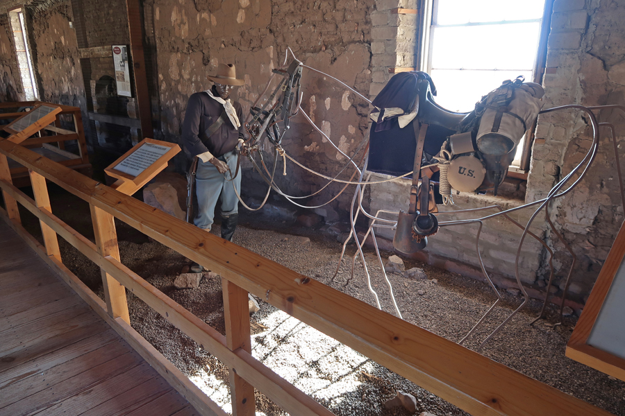
Life was more deadly than battle –
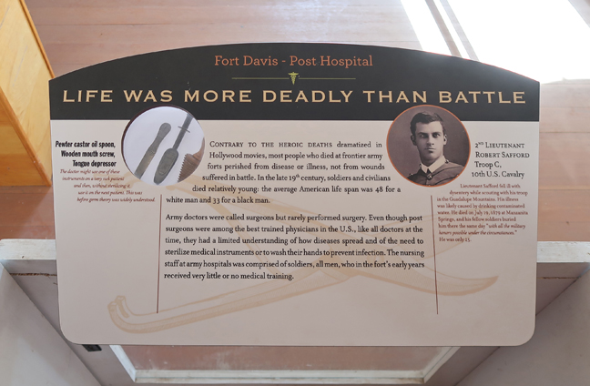

Gatling Gun


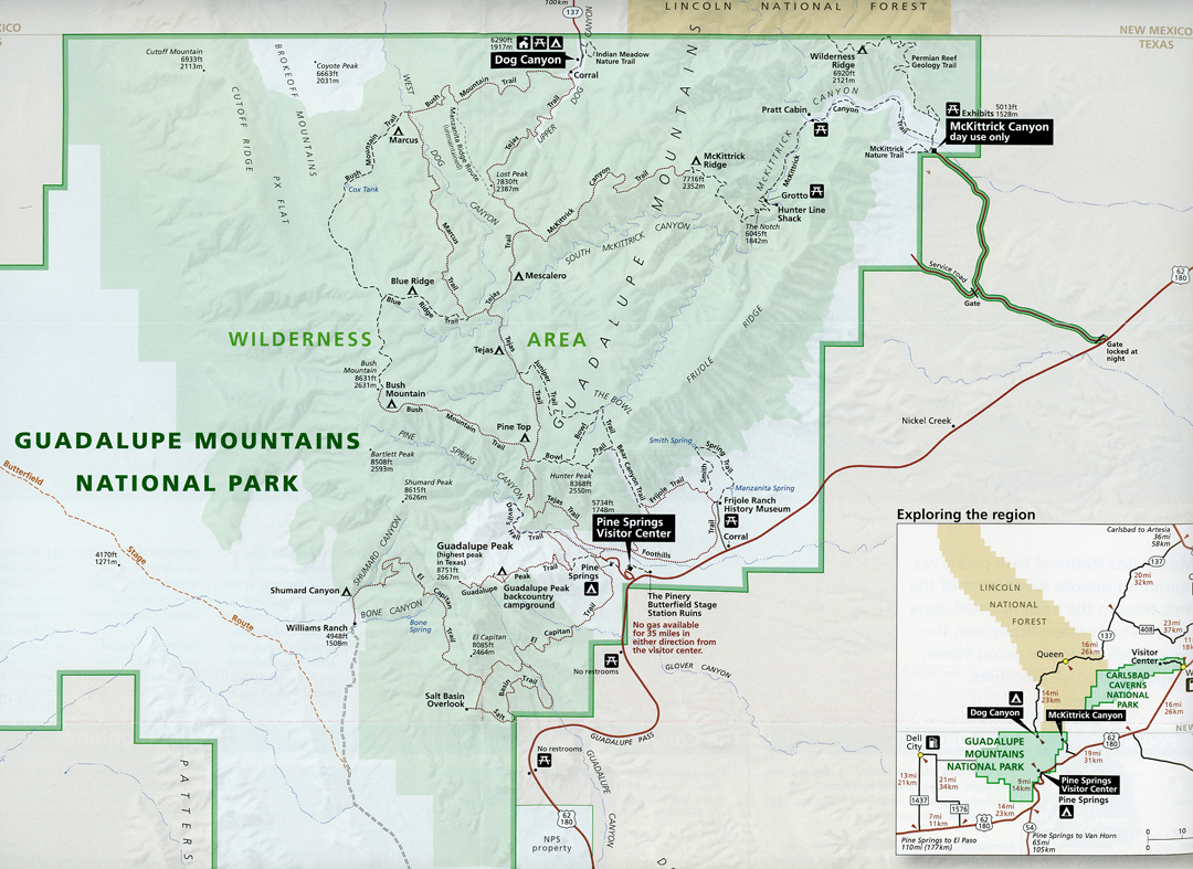
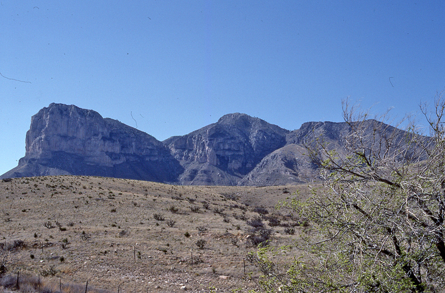
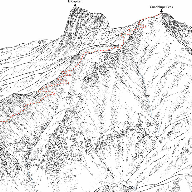
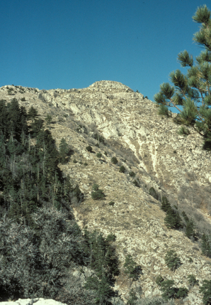
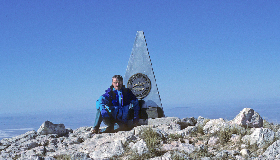
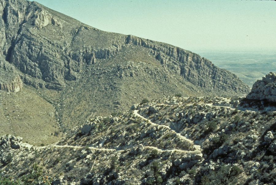
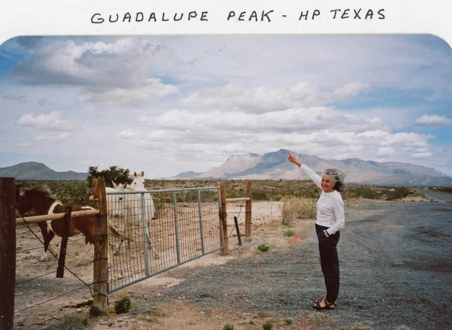
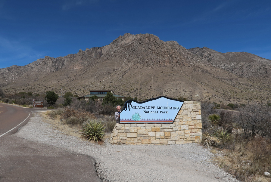
My first visit to Guadalupe Mountains NP was in 1991 when I climbed Guadalupe Peak (8,751ft), the highest point in TX. I did an early morning 8.8-mile hike (elevation gain of 2,927ft) in windy conditions. High winds coming off the desert are common for this peak.

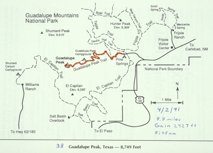
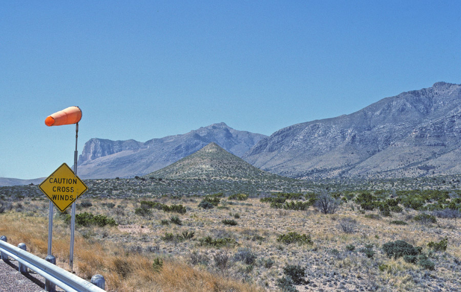
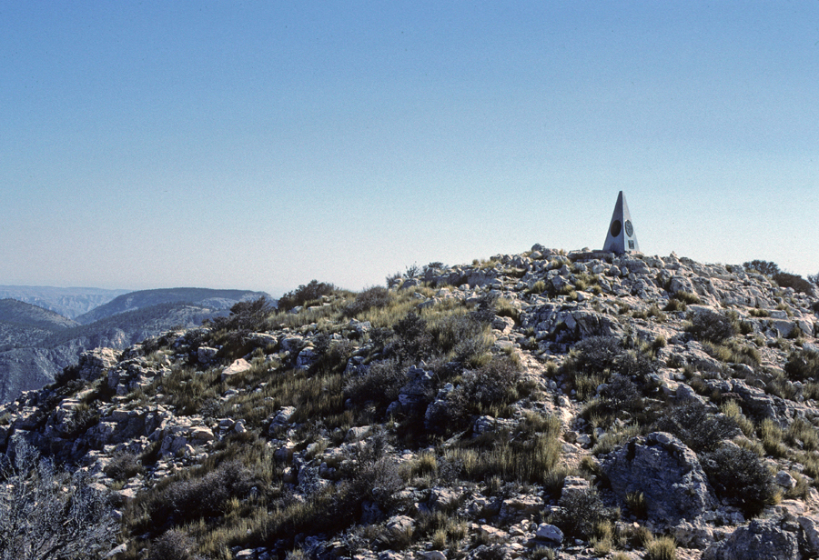
Trailhead, peak, early morning photo, and illustration
There was a triangular stainless-steel monument on top with three insignias, one of which was for American Airlines, who paid to place it there. The second was for the Post Office Department of the U.S. with the symbol of a Pony Express rider. The third stated, “1858-1958, Dedicated to the airmen who, like the stage drivers before them, challenged the elements through this pass with the pioneer spirit and courage which resulted in a vast system of airline transport known as “American Airlines.”
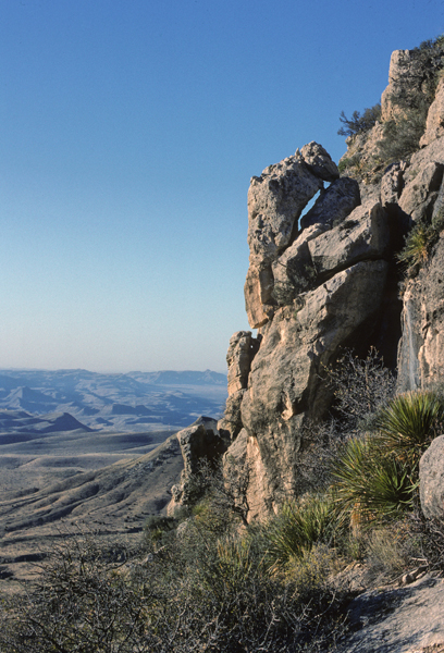
Descent, nice trail –
In 2006, Helen and I attempted to climb the peak. After about 3 miles, we came around the corner of a ridge and “got nailed by the wind.” We fell to the ground; then crawled back, while being blown sideways. I estimate the wind at over 100 mph. It was the strongest wind I have ever encountered! We were unable to continue and headed back to the car.
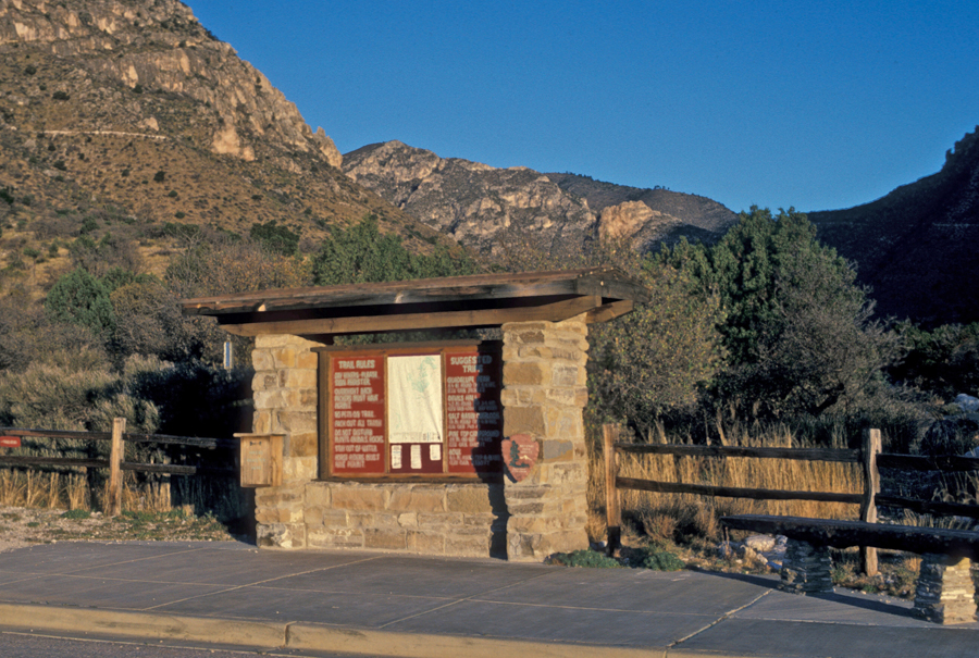
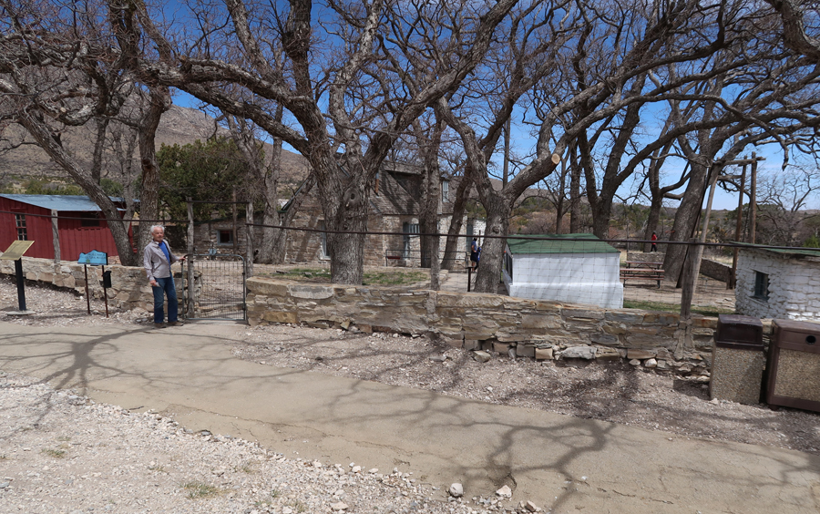
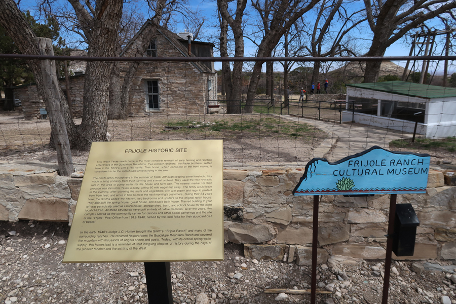
On this trip, I went to the Frijole Ranch History Museum
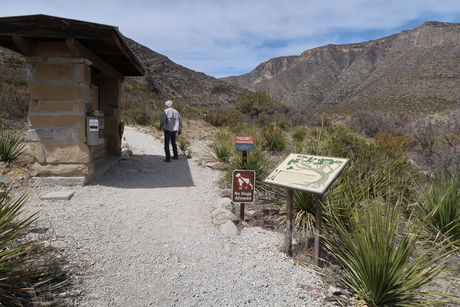
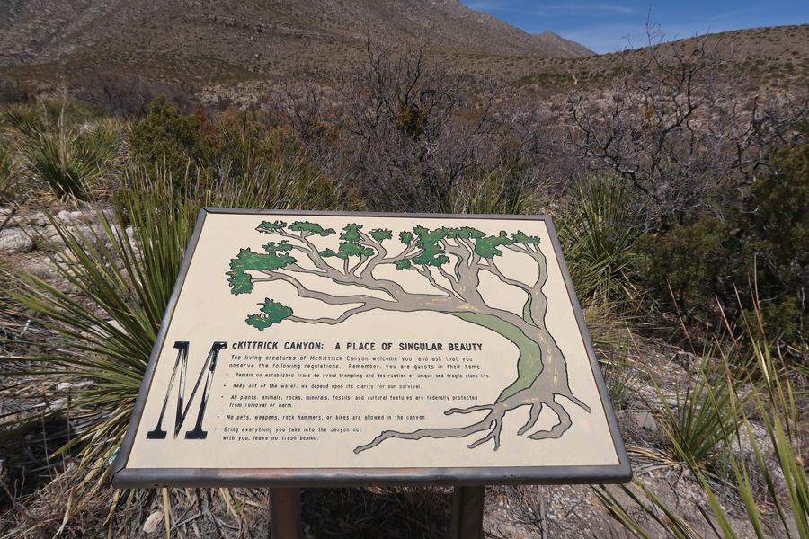
And also did the McKittrick Canyon Nature Trail
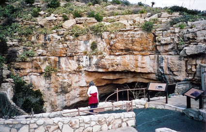
It was only a half hour drive to Carlsbad Caverns NP. When I crossed the border into New Mexico, I moved back one hour – from Central Time to Mountain Time. I arrived at 2:15pm, the last time of the day that one could start the Self-Guided Tour through the caverns.

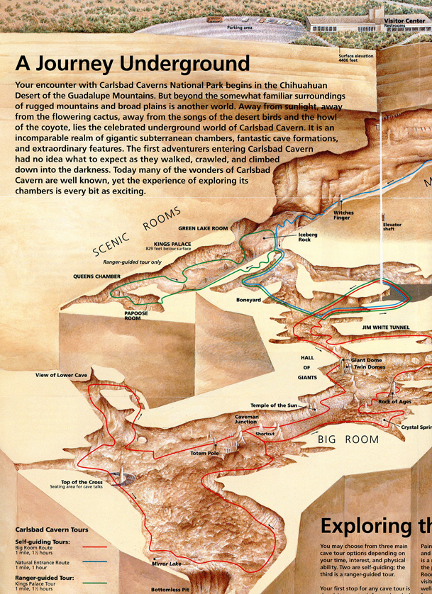

My first time in the caverns was in 1963 when on a road trip with friends. Carlsbad Caverns NP was my very first National Park! My second visit was in 1966 with my mother and three brothers. Beside our hike into the cave, we also saw the “Bat Flight.” We sat in awe as we watched the bats fly out of the cave in mass to forage in the surrounding dessert during that night. I returned in 2006 with Helen and we did an audio tour of the caverns.
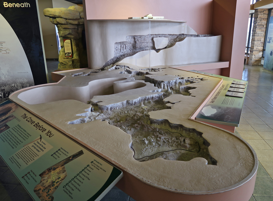
Model showing descent from Natural Entrance, Big Room, and elevator to Visitor Center.
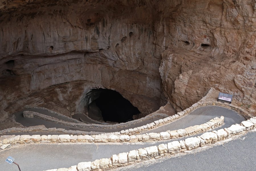
On this trip, I hiked down 1.25 miles through the natural entrance, descending over 750ft.
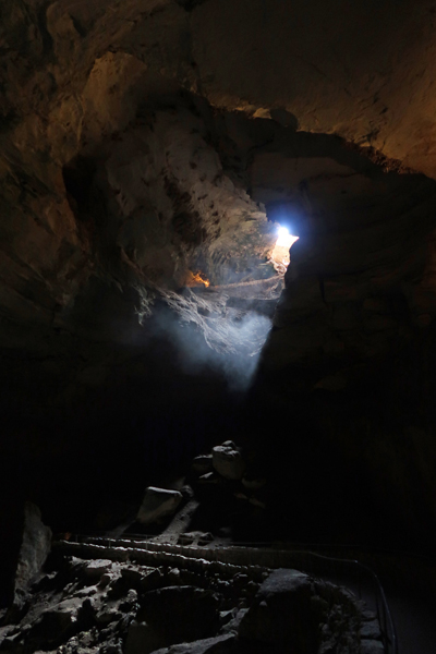
View up before going deeper into the cave.
To Devil’s Den


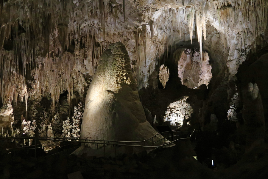
Entering the “Big Room”

Giant Dome and Twin Domes
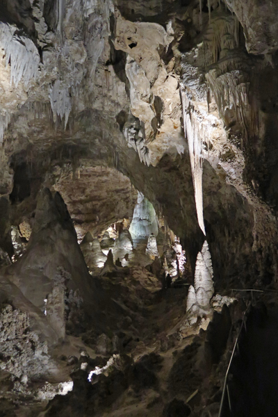
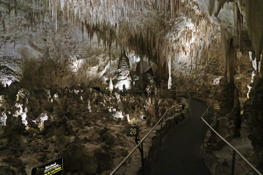
Fairyland
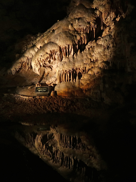
Mirror Lake
Huge

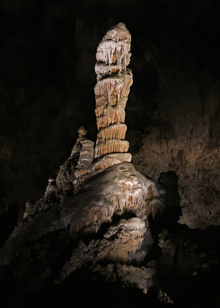
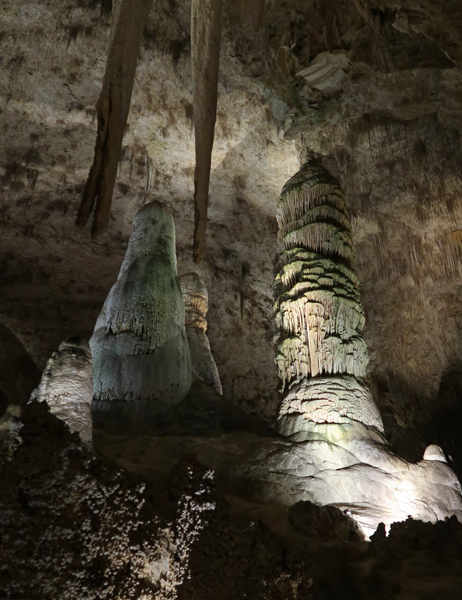
Crystal Spring Dome – largest active stalagmite in cave
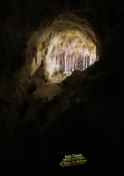
Dolls Theater
Chinese Theater

I expected many people to be in the cave but that was not the case. I saw no more than 15 people during my 2.5 hours in the caverns. The solitude and quiet was wonderful! The Big Room –

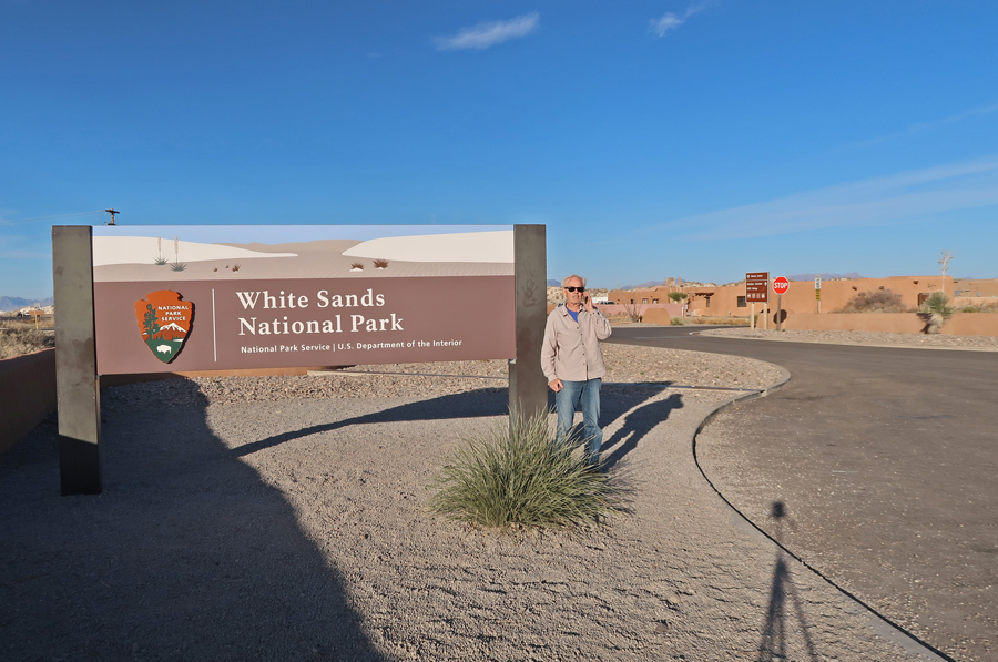
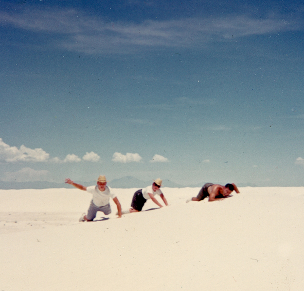
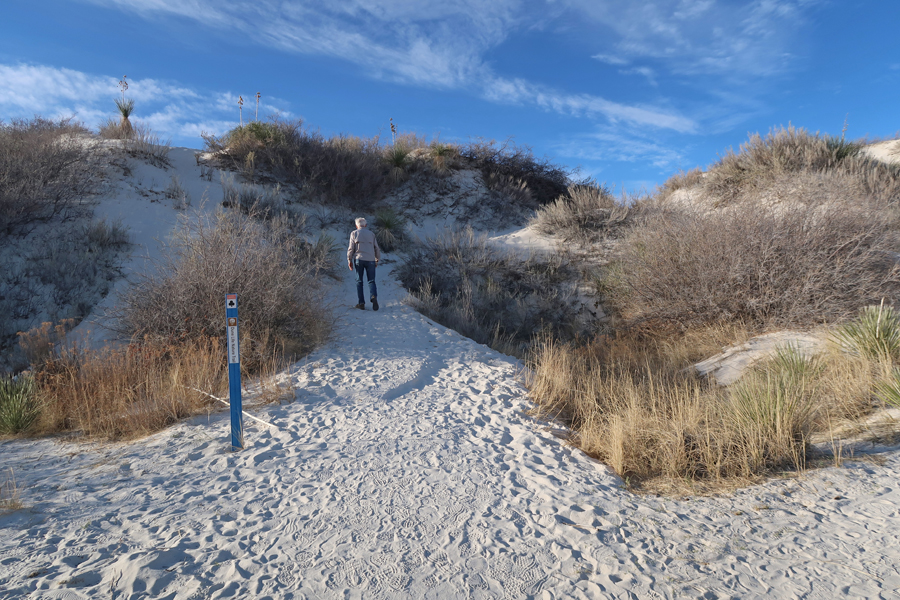
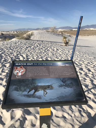
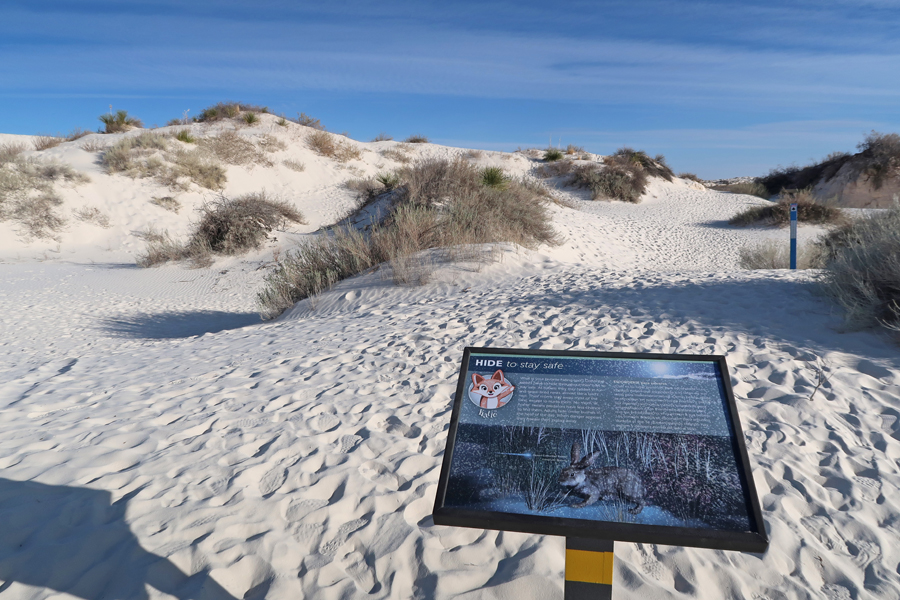
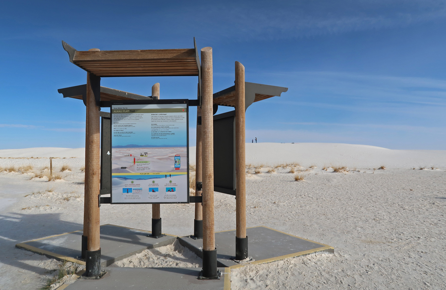
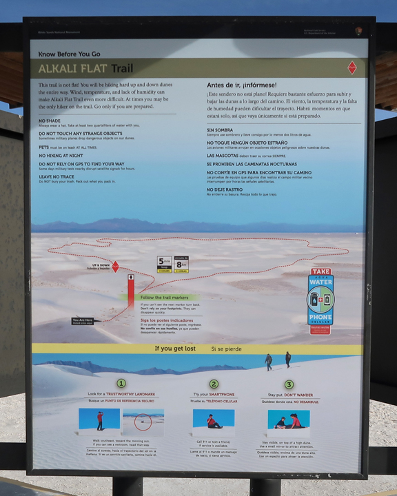
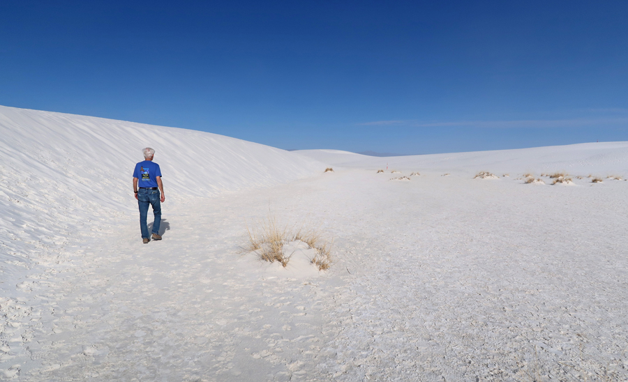
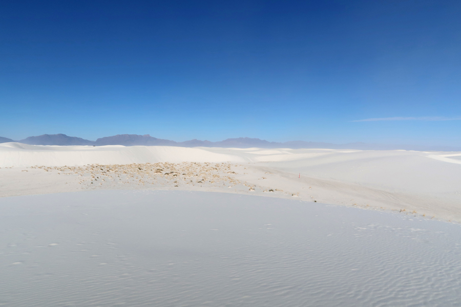
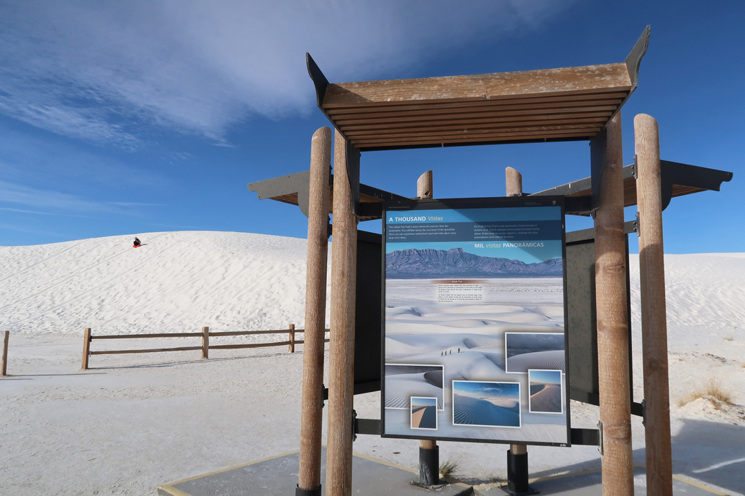
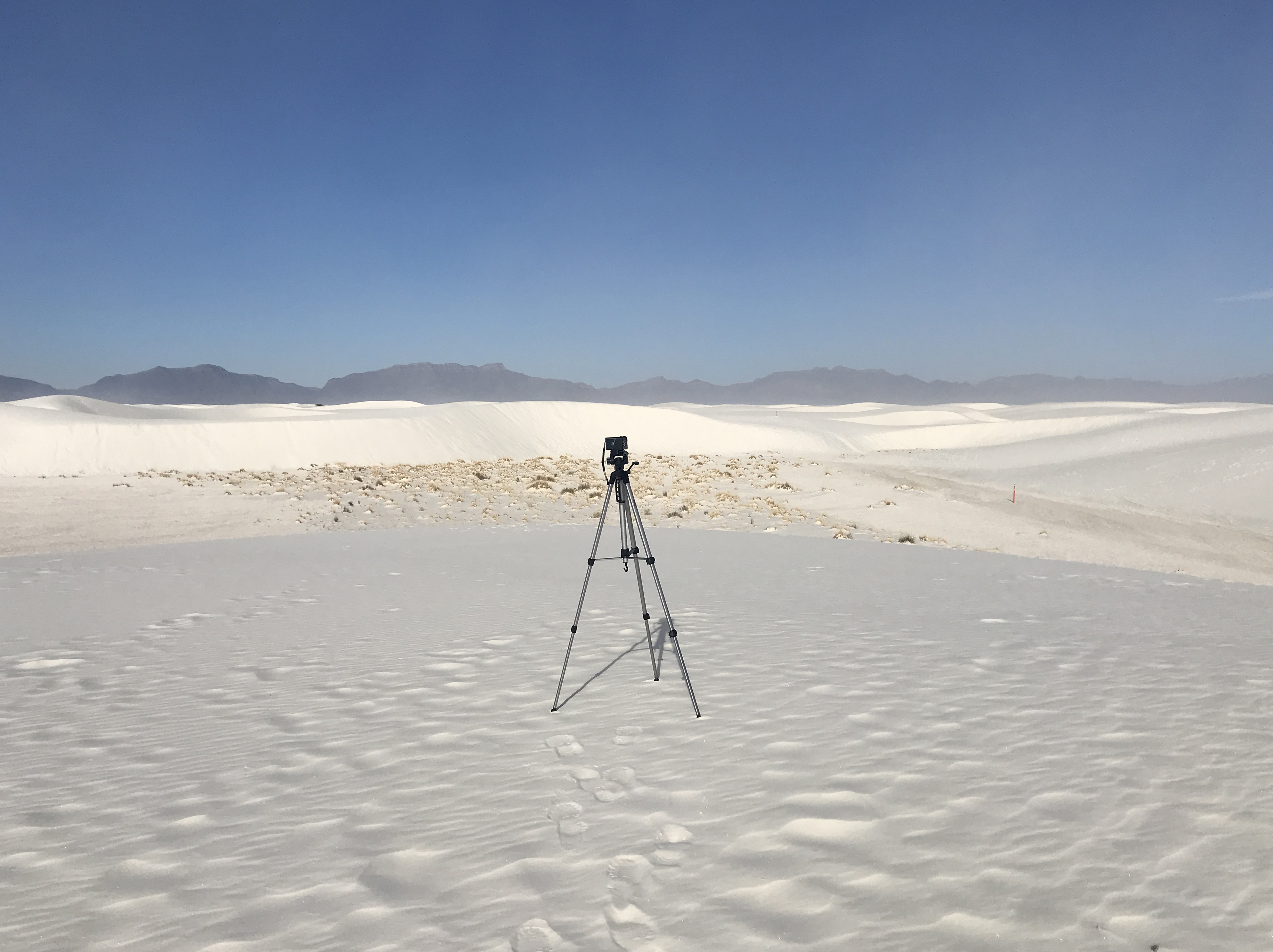
3/30 Tu – arrive at White Sands NP in south-central NM about 7:30am. In 2019, it was upgraded from a National Monument to a National Park

I had been here with friends in 1963 – Ray, Chuck, Tom
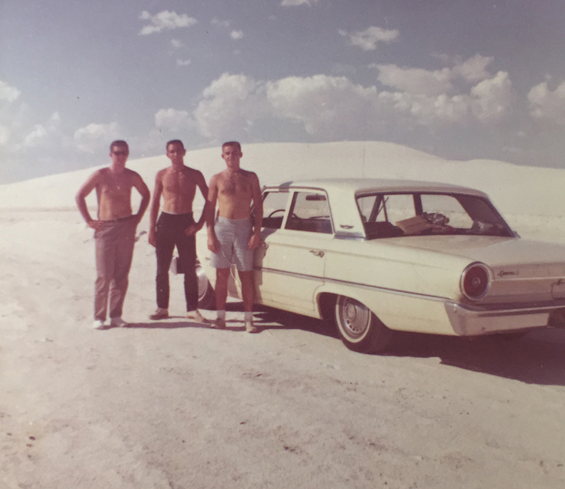
And with family in 1966 – Joe, Pat, Tom
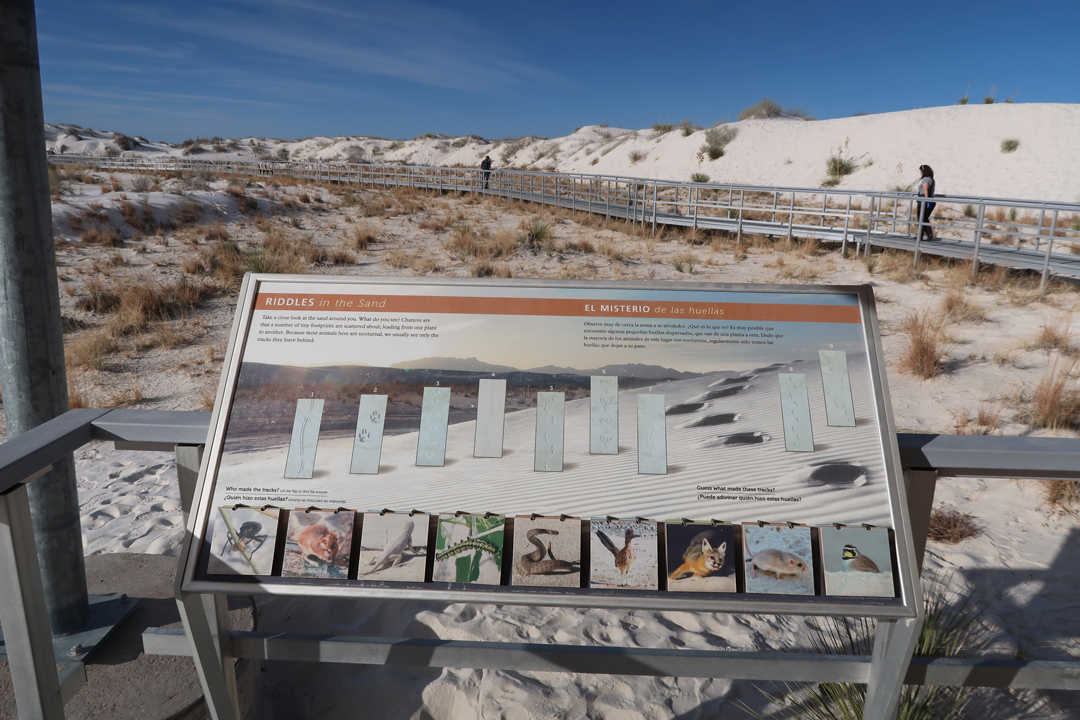
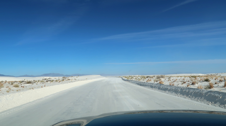
I did the Dunes Drive and hiked four short trails

For first hike was the one-mile Dune Life Nature Trail

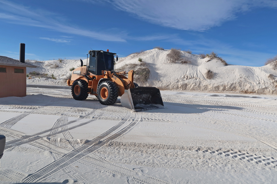
I had to wait for the front-end loader to clear the parking lot of sand at the interdune boardwalk before parking
You Tube Video – Interdune Boardwalk Trail https://youtu.be/wQzpcED9Iqg

Dunes Drive to Alkali Flat Trail
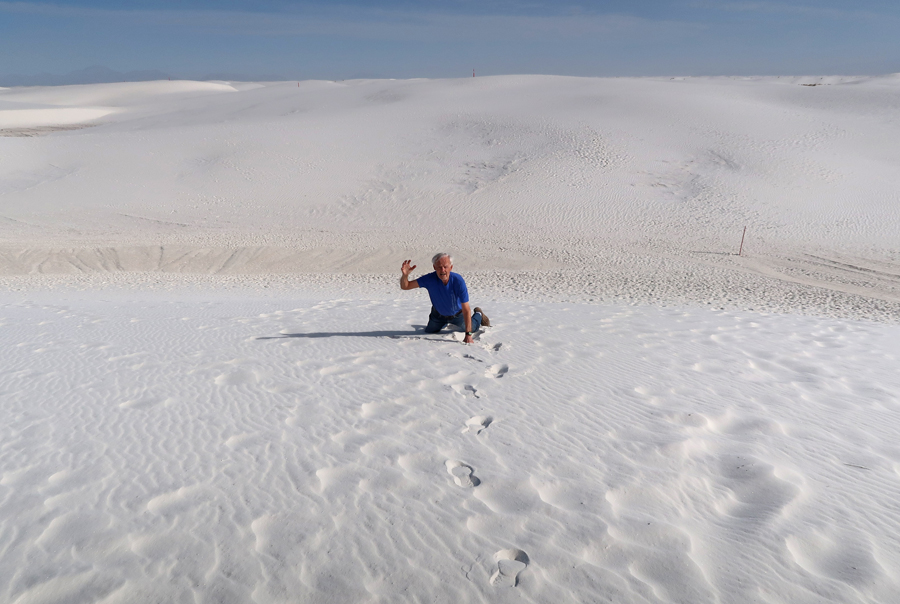
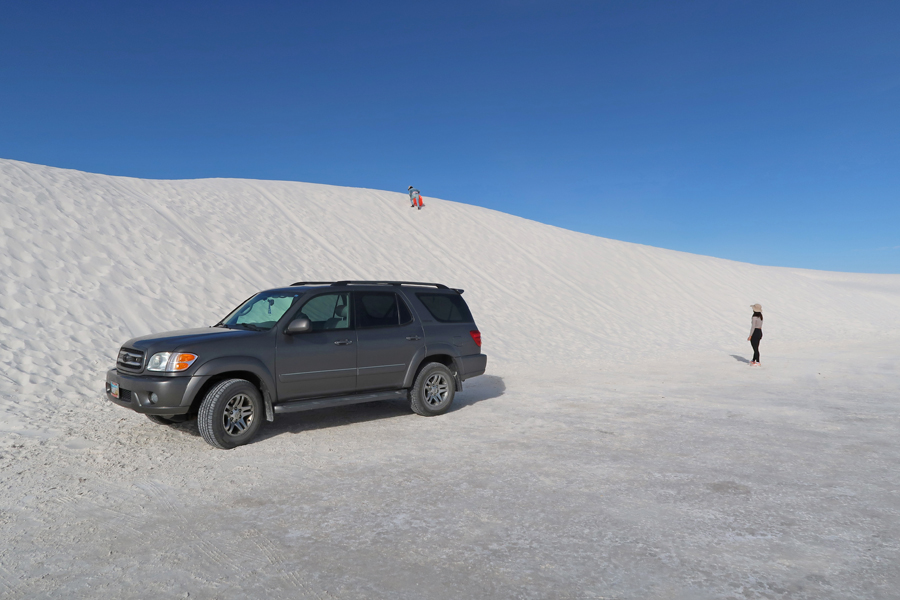
Dune Sledding

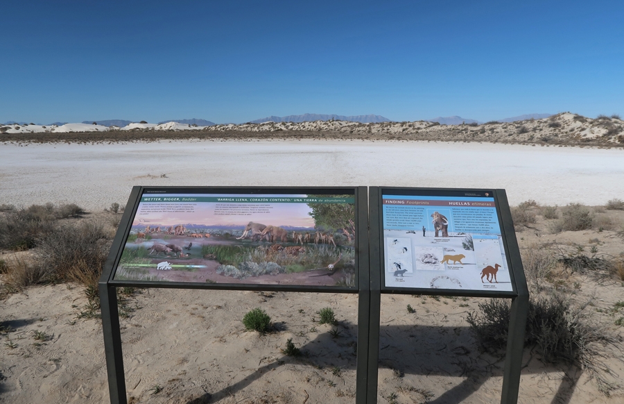
Playa Trail – to barren dry lakebed

Departing Shot
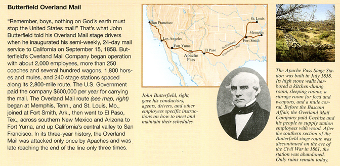
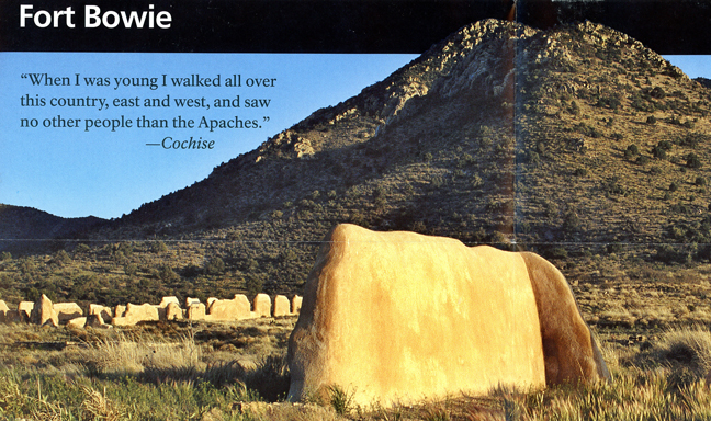
It was 3.5hrs to Bowie AZ; then twenty minutes on the unpaved Apache Pass Road to the Fort Bowie NHS trailhead


Our first visit was on a cold day in 2010 – see Blog for March 2010
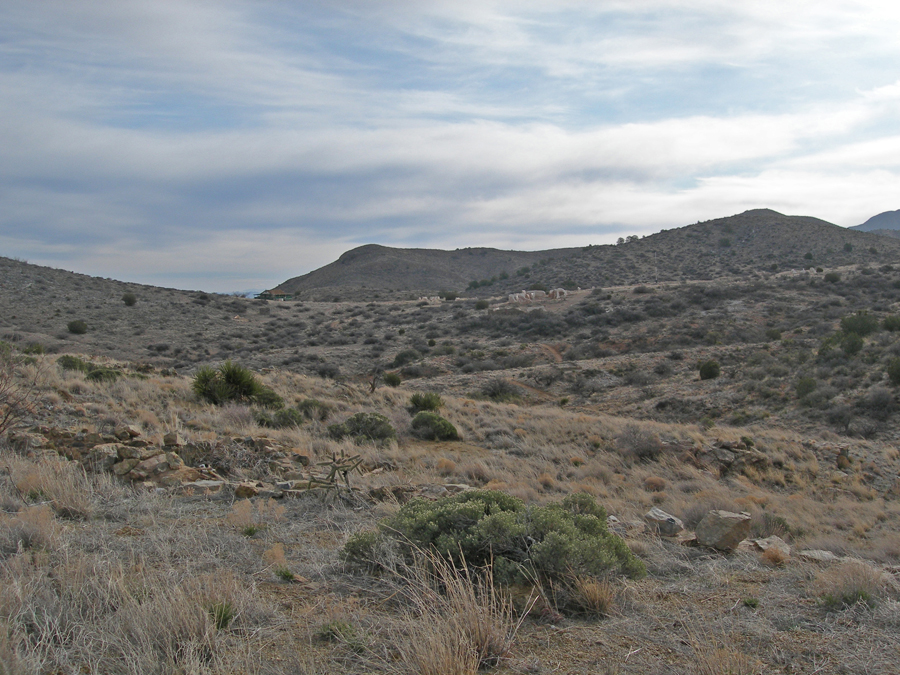
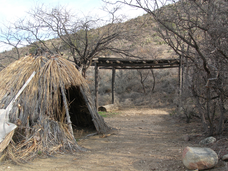

View from Visitor Center toward First and Second Forts
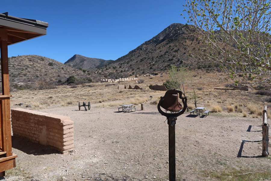

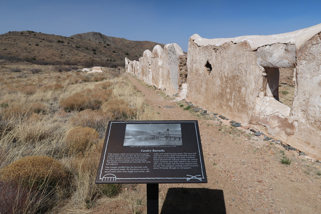
School Foundation, Parade Grounds (flagpole), and Second Fort Bowie Infantry barracks ruin in distance (white)
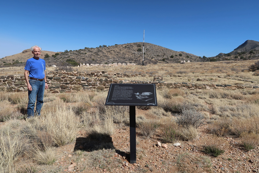
Sitting in ruin of First Fort Bowie

Infantry Barrack ruins at second Fort Bowie
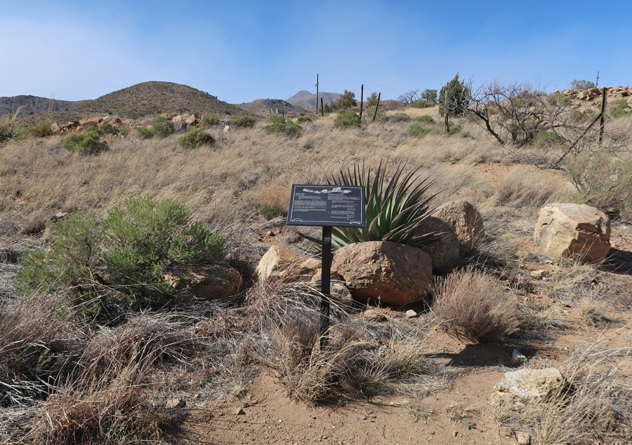
Returned to Apache Pass Road by way of the Ridge Overlook Trail
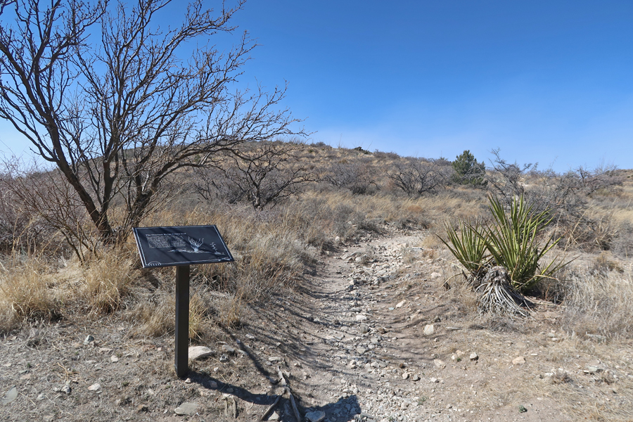
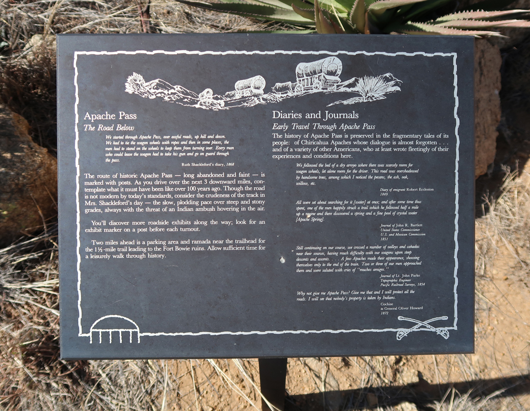
Apache Pass
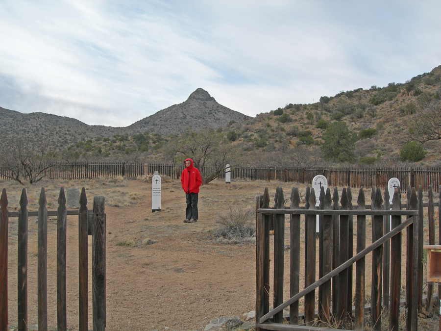
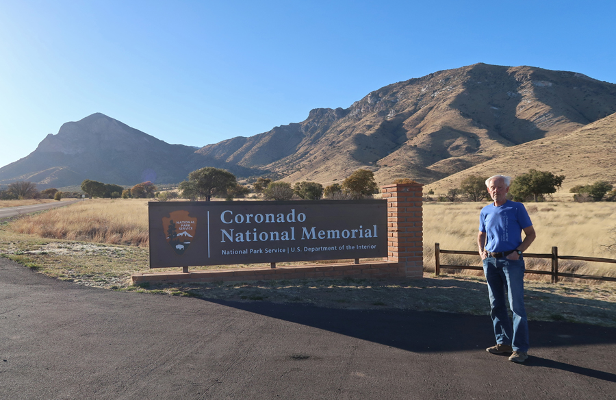
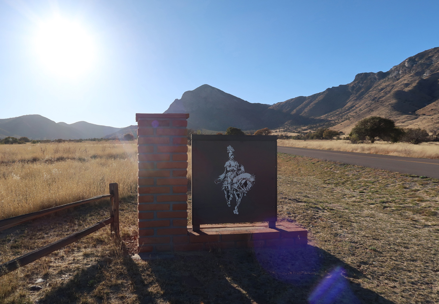
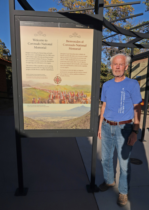
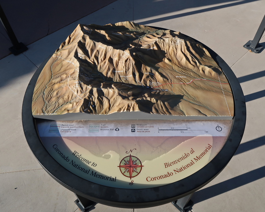
I arrived at Coronado N MEM in SE Arizona on the U.S.-Mexican border at about 5:30pm. See Blog for March 2010.
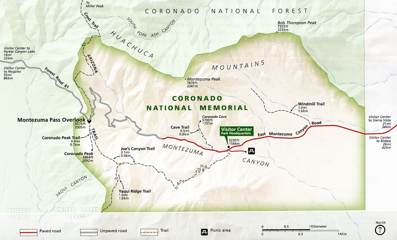
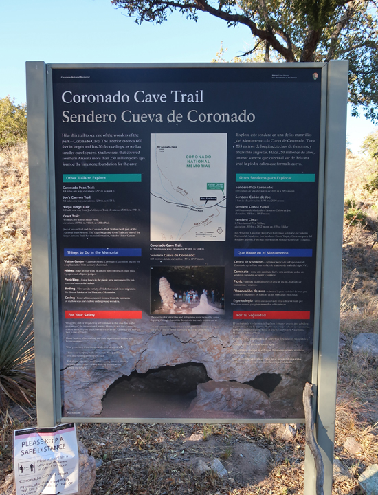
My objective on this trip was to hike to and into Coronado Cave, about a mile roundtrip. My first stop was the Visitor Center (closed).
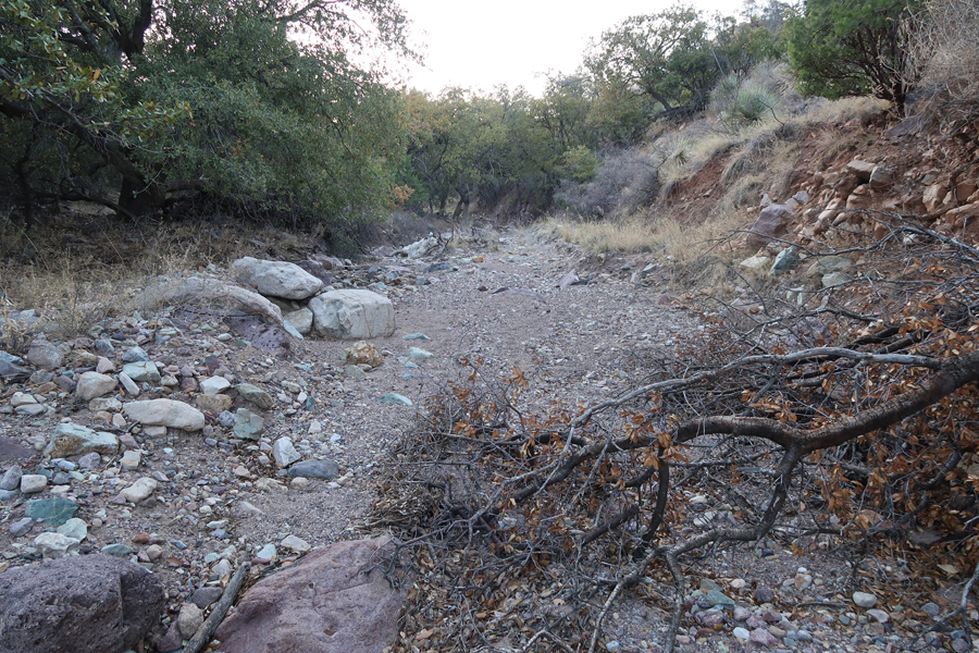
It was getting dark, so I rushed to the Cave Trail parking area and started hiking up a stream bed, which I thought was the trail. After about a mile I figured I must have missed the point where the trail left the stream bed. I retraced my route but by the time I found the trail it was too dark to proceed.
“THE WALL” U.S. – Mexican border

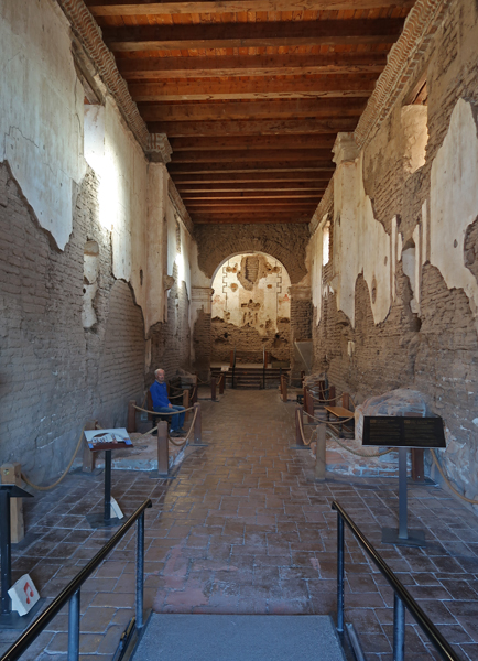
3/31 W – I arrived at Tumacacori NHP at 8am before it was open. I saw a ranger and he allowed me into the park. See Blog for March 2010 for information/photos from our first visit.


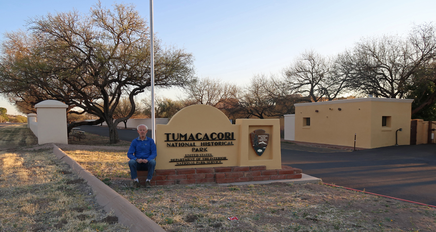
Jesuits started the mission in the 1690s and then in the early 1770s Franciscans took over and constructed what can be seen today.


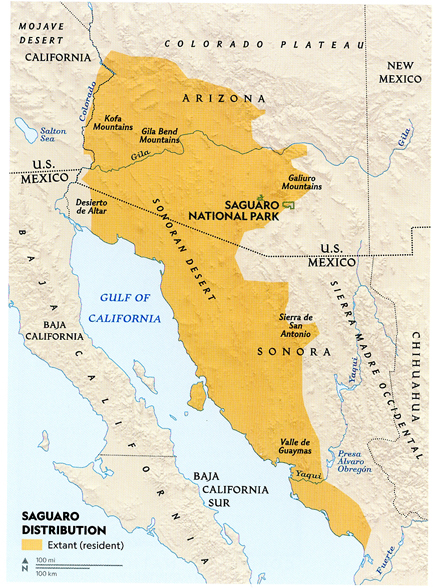
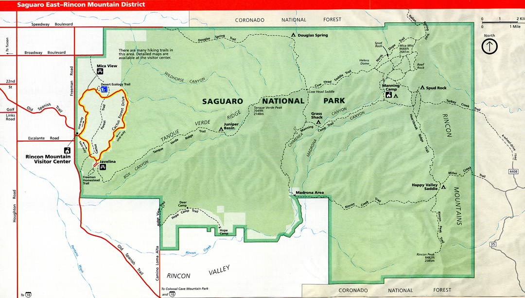
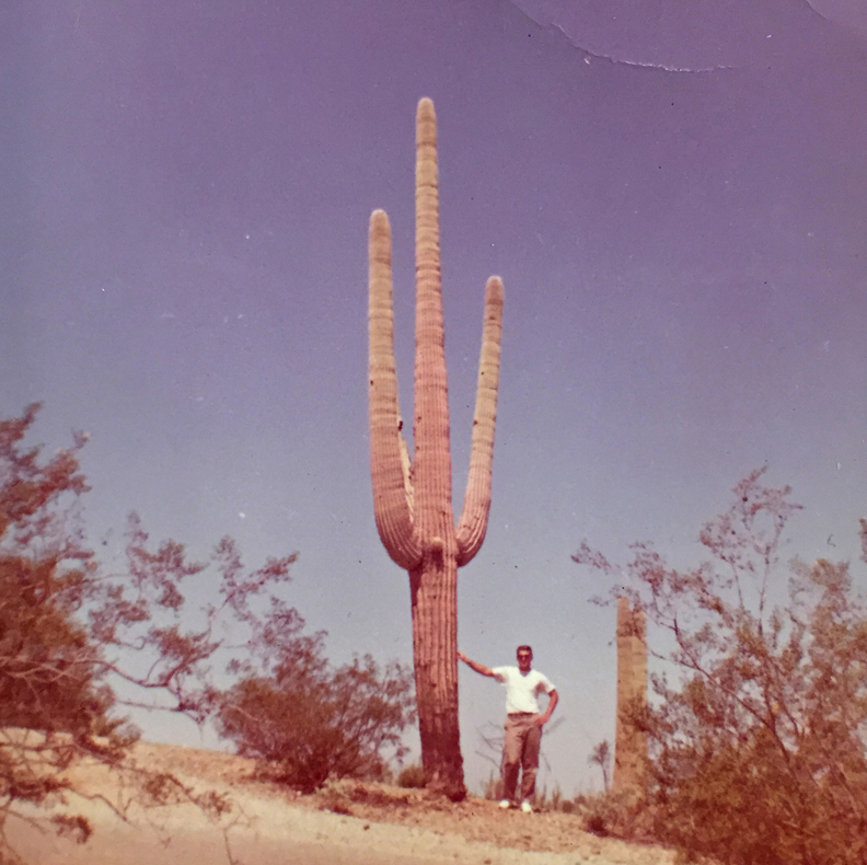
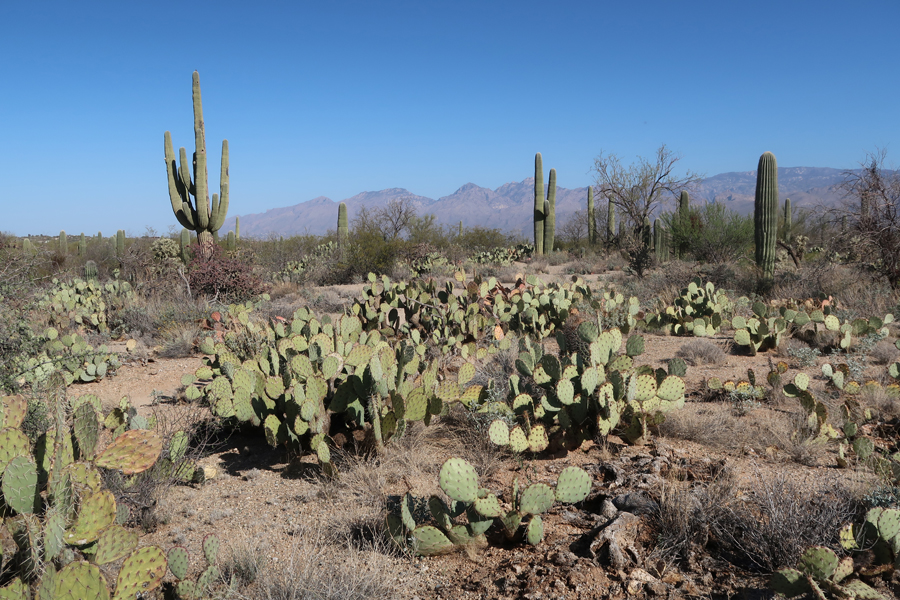
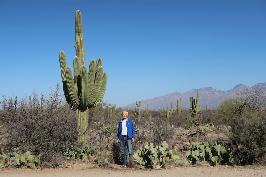
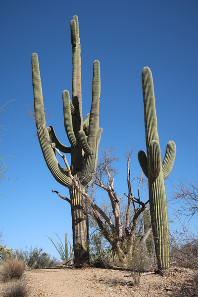
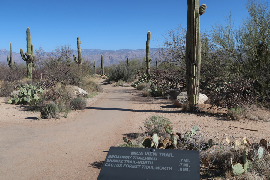
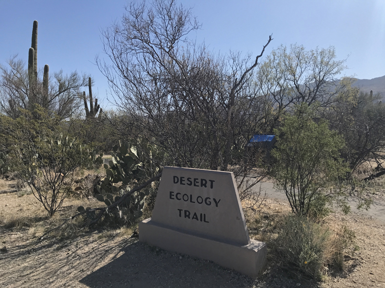
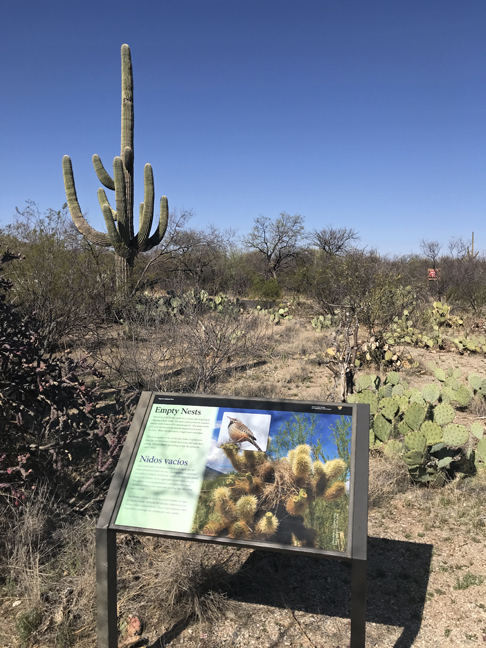
My next stop was Saguaro NP – East, the Rincon Mountain District. See Blog for March 2010 for our visit to Saguaro NP – West, Tucson Mountain District. The Visitor Center was closed because of the pandemic, but all trails were open.

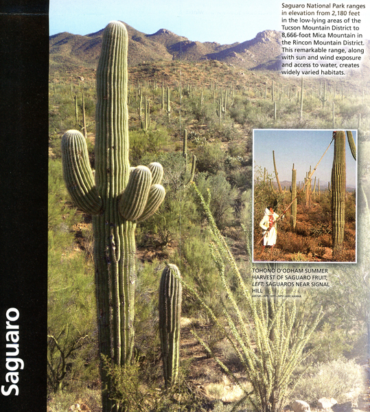
My first visit here was in 1963 with friends.
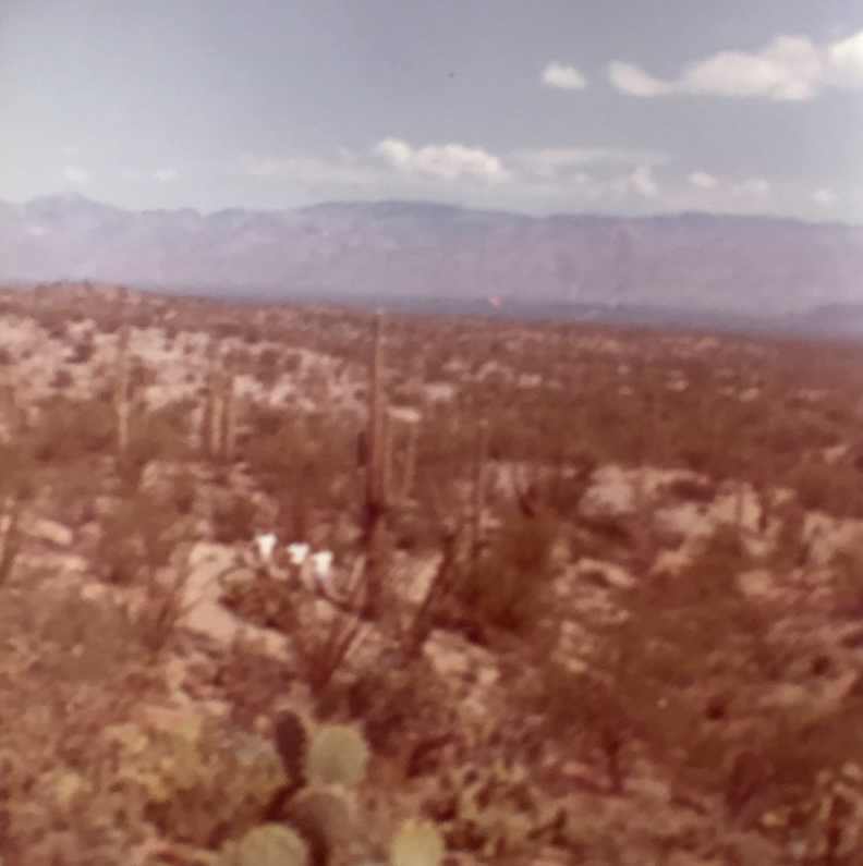
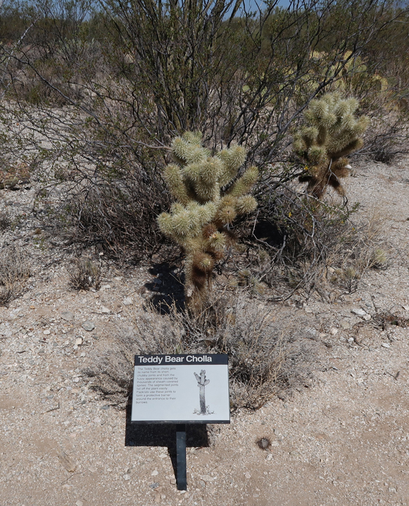
On this trip, I drove the Cactus Forest Loop Drive stopping to take for photos and to take short hikes.
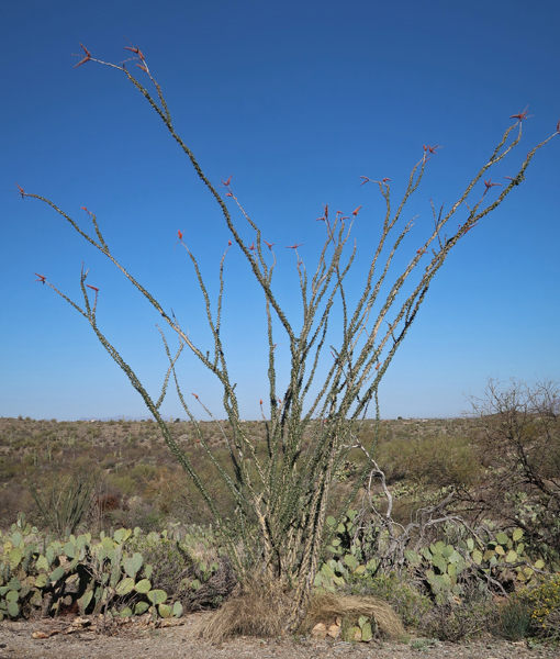
Mica View Trail

Desert Ecology Trail

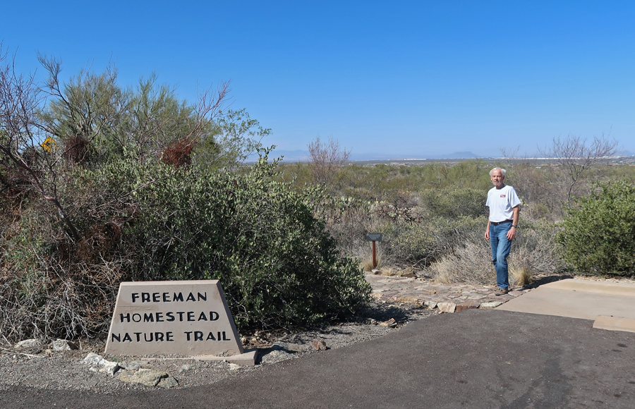
Freeman Homestead Trail

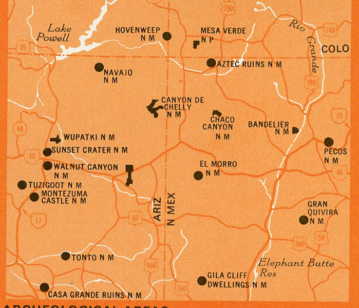
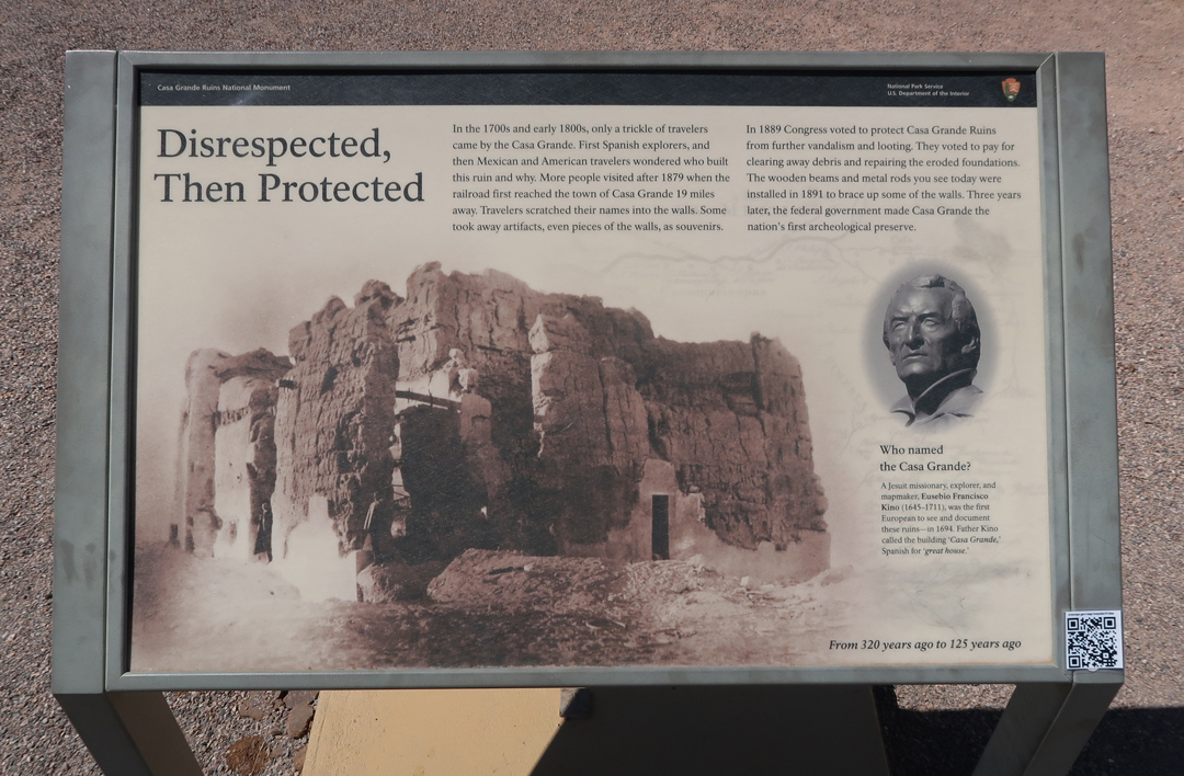
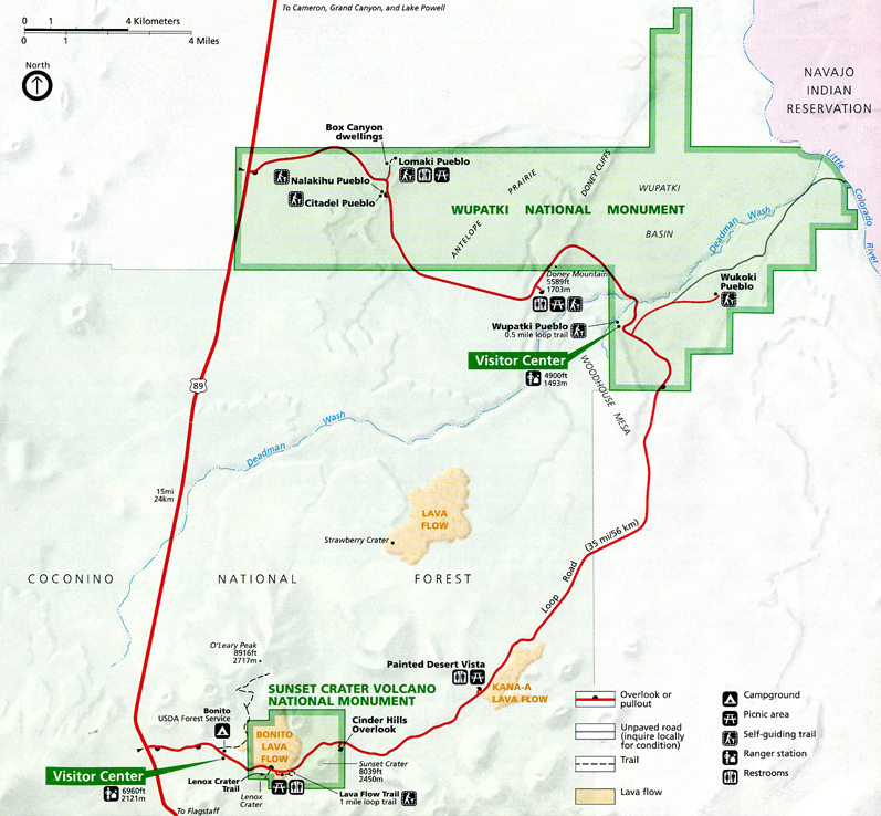
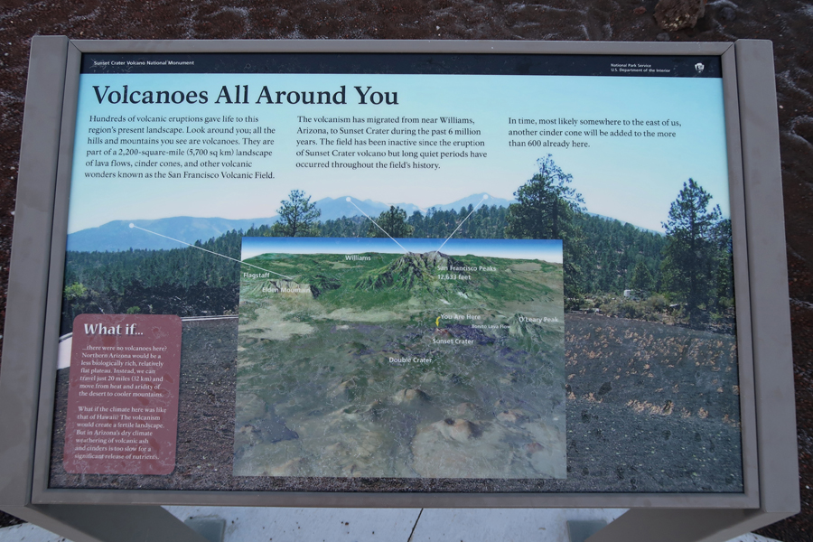
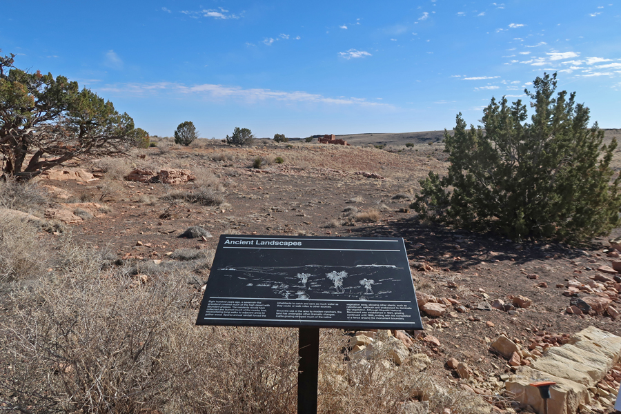
Continued North on I10 to Casa Grande Ruins NM. Located in south-central AZ. See Blog for March 2010 for previous visit. The following map shows Indian Ruins across the four corners region. As you will see shortly, after Casa Grande Ruins NM, I continued north to Hohokam Pima NM, Montezuma Castle NM, Tuzigoot NM, Sunset Crater NM and Wupatki NM – all Native American sites in Arizona.
Casa Grande – the “Big House”
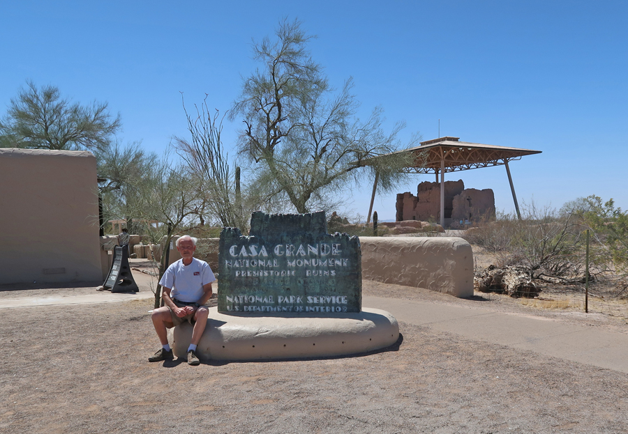
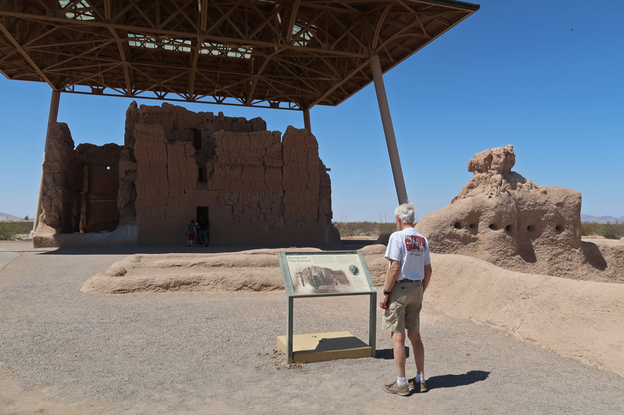
Casa Grande is a unique four-story structure and remains a Sacred Place. It was the centerpiece of the largest Hohokam village in the Gila River Valley.

Hohokam Pima NM is located a little further north in the Gila River Indian Community. It was known as “Snaketown.” See Blog for March 2019. The site was excavated in the 1930s and then covered leaving nothing visible above ground.
There is a tribal cemetery nearby.
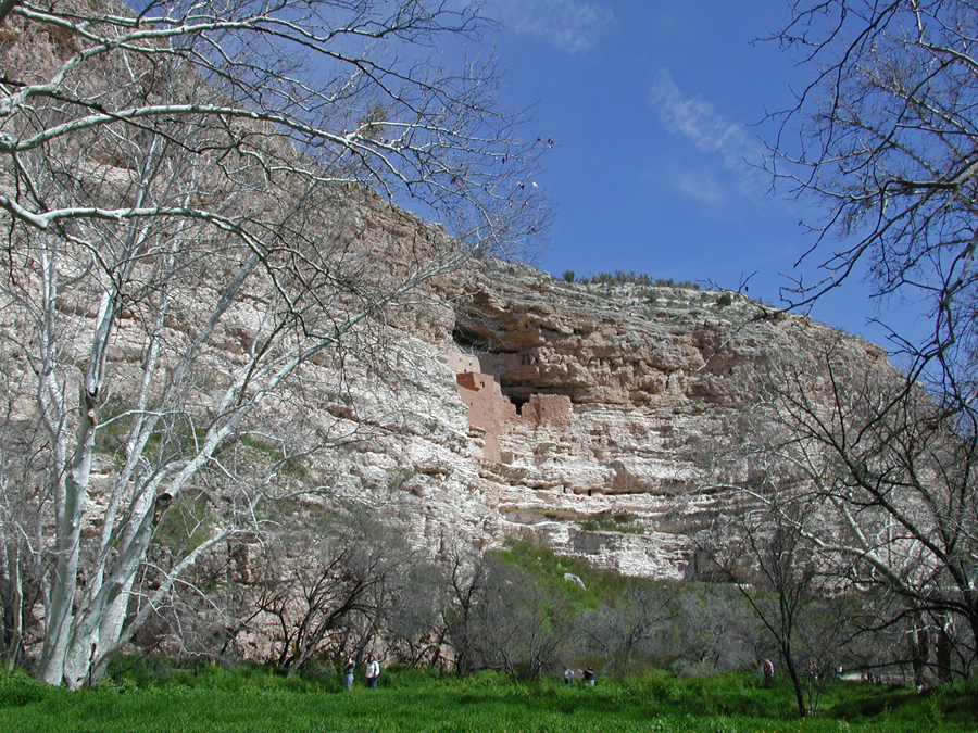
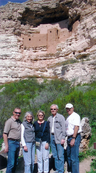
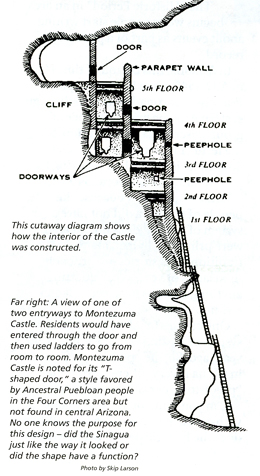
Proceeding north on I17, I stopped briefly at Montezuma Castle NM.
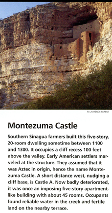
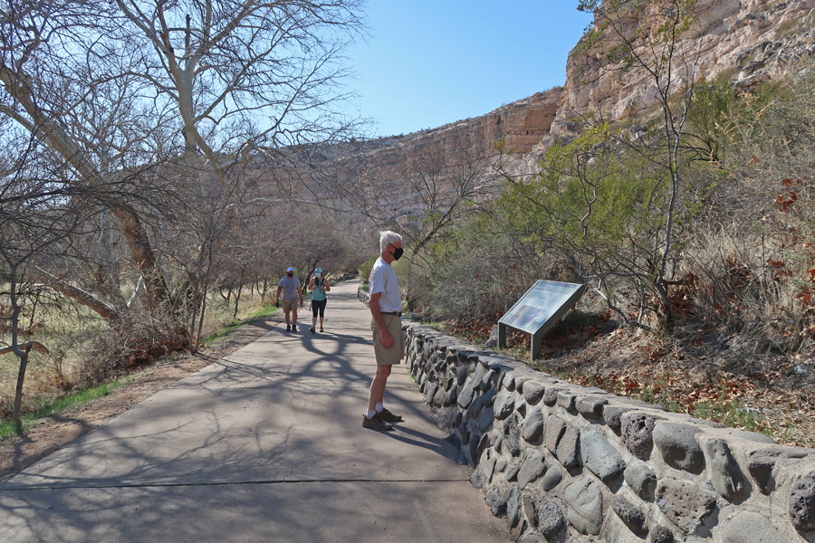
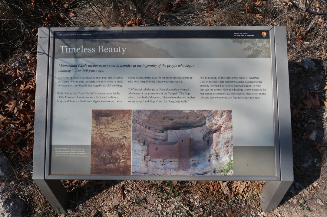
The last time we visited here was in 2005 with friends we met in graduate school at the University of Maryland.
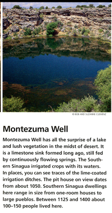
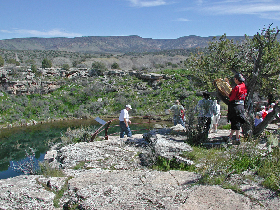
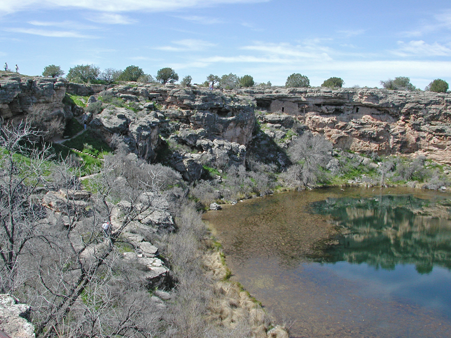
Montezuma Well is nearby. Note the Indian drummer at the overlook.
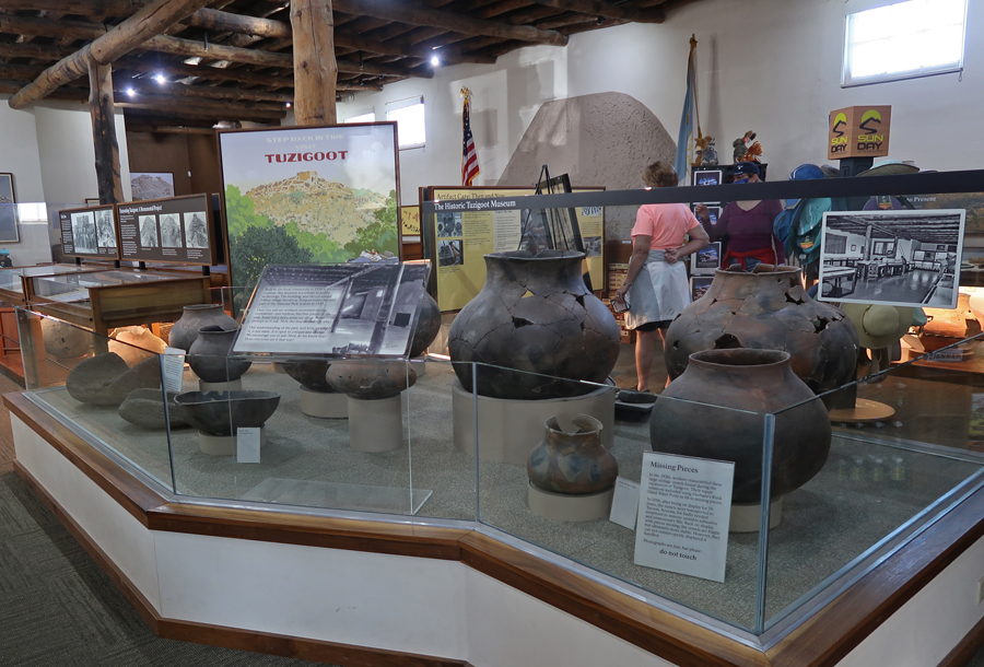
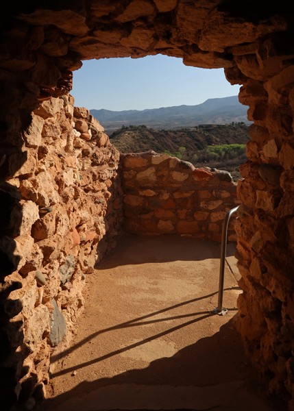
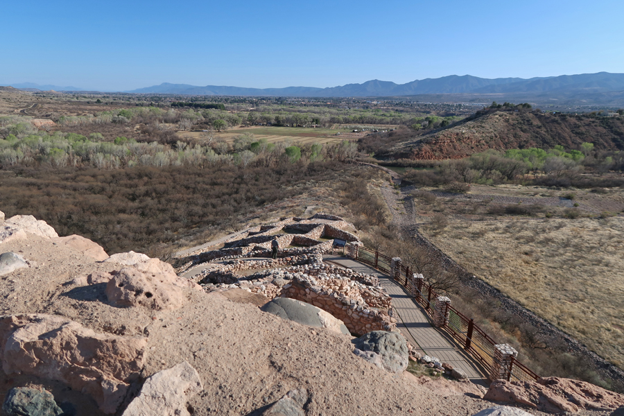
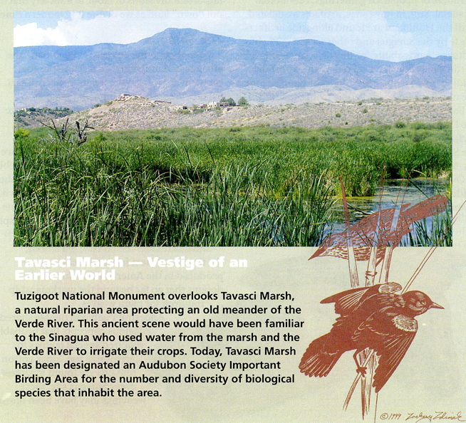
I arrived at Tuzigoot NM at 4:30pm. So, I only had a half hour to rush through the Visitor Center and do the 0.6mi Pueblo Trail before they closed. We had a leisurely visit here in 2005, but I only had one photo from that trip.
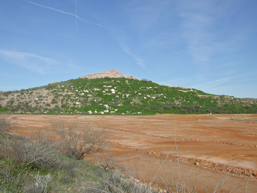

It was a Southern Sinagua village built between 1000 and 1400, 120ft above the Verde Valley.


Tuzigoot is an Apache word for “crooked water” (Verde River).
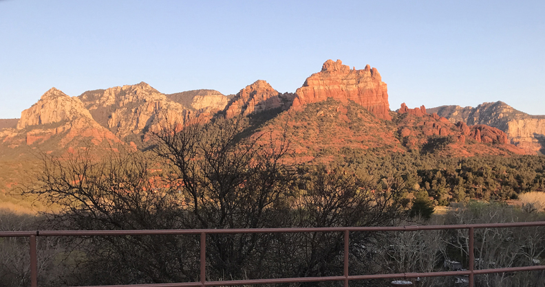
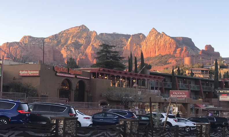
I drove through Sedona at sunset and then slept in Flagstaff
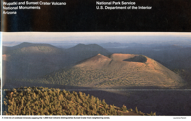
4/1 Th – I got coffee in Flagstaff (24 degrees this morning!) and arrived at Sunset Crater Volcano NM at about 8am.
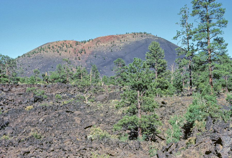
On my first visit here in 1966, my brothers and I hiked to the top (1,000ft gain) and then ran down the side. In 1982, I thought I was going to do that again. However, I was told that it was no longer permitted to climb the crater. I took this photo to show the paths that people previously followed – which scared the cinder cone.
In 1998, Chad and I hiked the Lenox Crater Trail
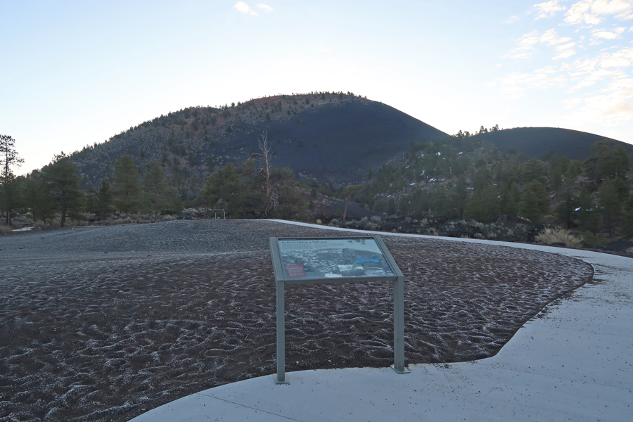
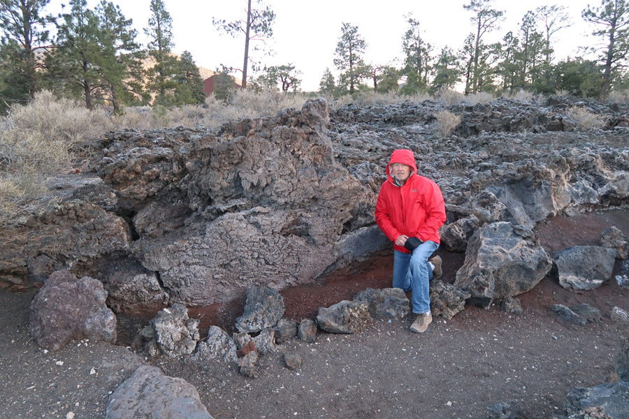
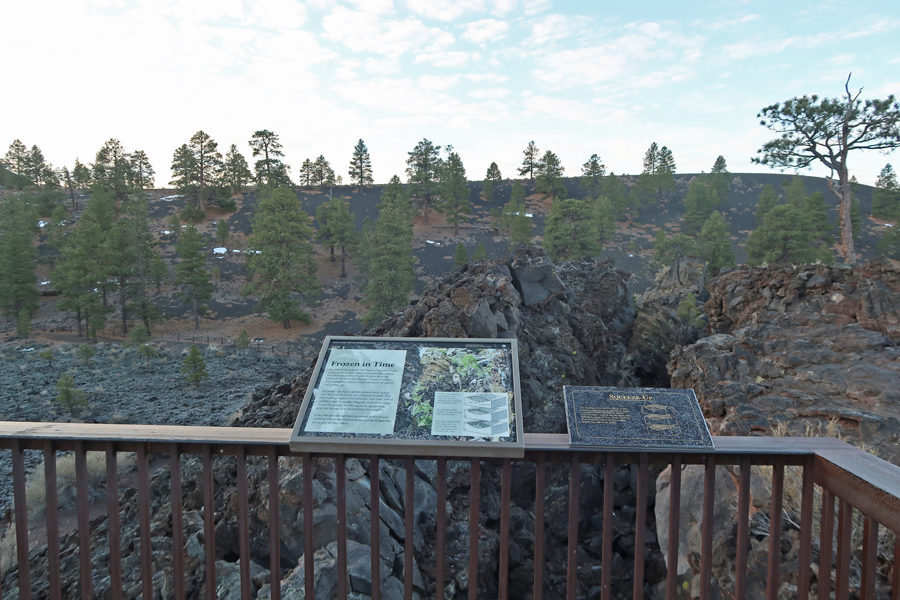
On this trip, I hiked the Lava Flow Trail, a one-mile loop.
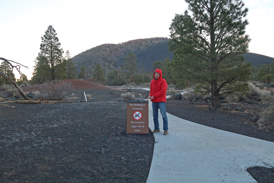


Note that the trail scars are no longer visible on Sunset Crater (8,039ft) – nature can heal itself if we permit that to happen.
Lava
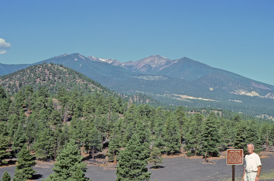
View of the San Francisco Peaks, including Humphreys Peak (12,633ft) – the highpoint of Arizona. All were part of San Francisco Mountain.
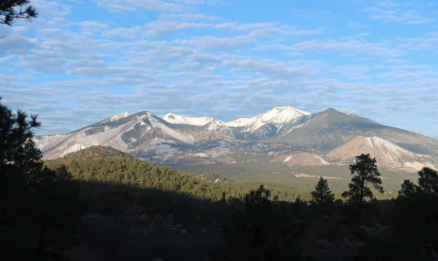
View of Sunset Crater from the NE

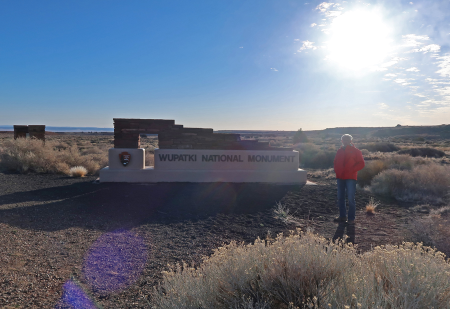
See the previous map for Sunset Crater and Wupatki NMs. I did the short walks to the six major pueblo ruins in Wupatki NM. This was a repeat of previous visits in 1966 and 1998.
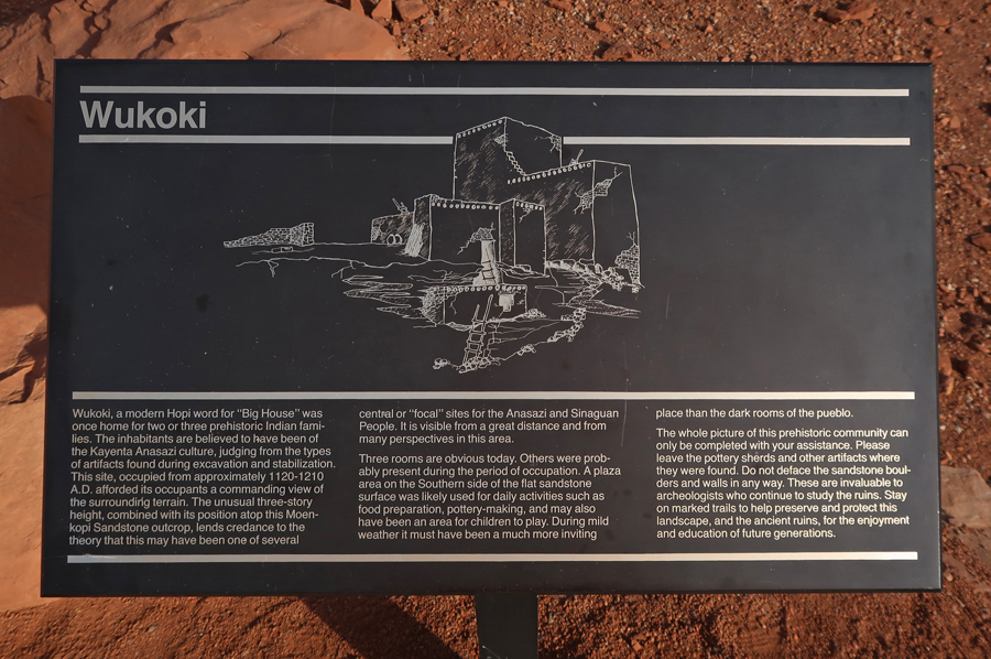
Wukoki Pueblo is built on a Sandstone outcrop.

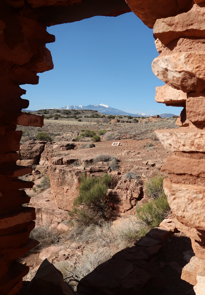
Looking back at Sunset Crater (left) and San Francisco Peaks

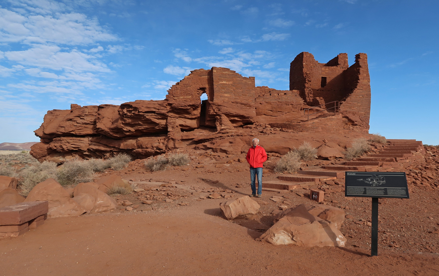
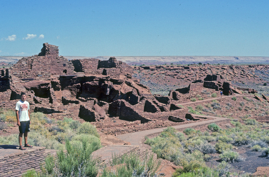
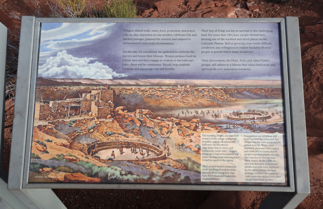
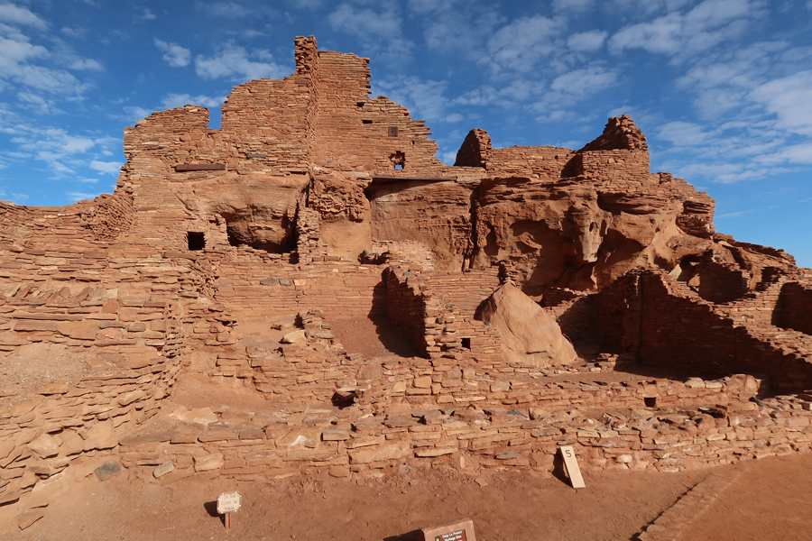
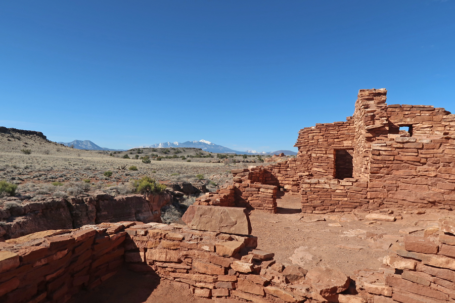
The Wupatki Pueblo 0.5mi Trail (0.5mi) starts at the Visitor Center. This 104-room pueblo was a regional trade center.

Chad on our 1998 trip

Blowhole
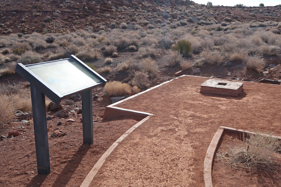

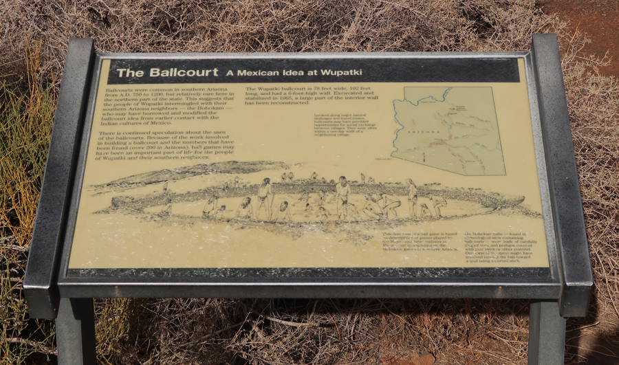
Ballcourt
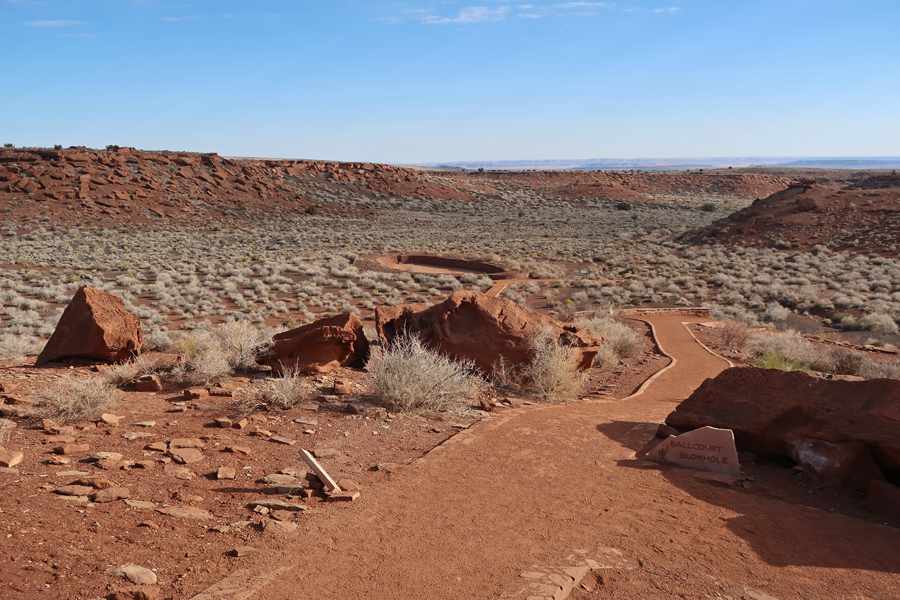
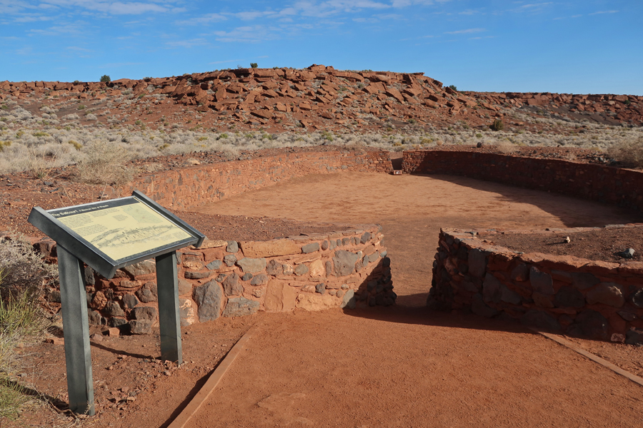
Looking back at Wupatki from Ballcourt
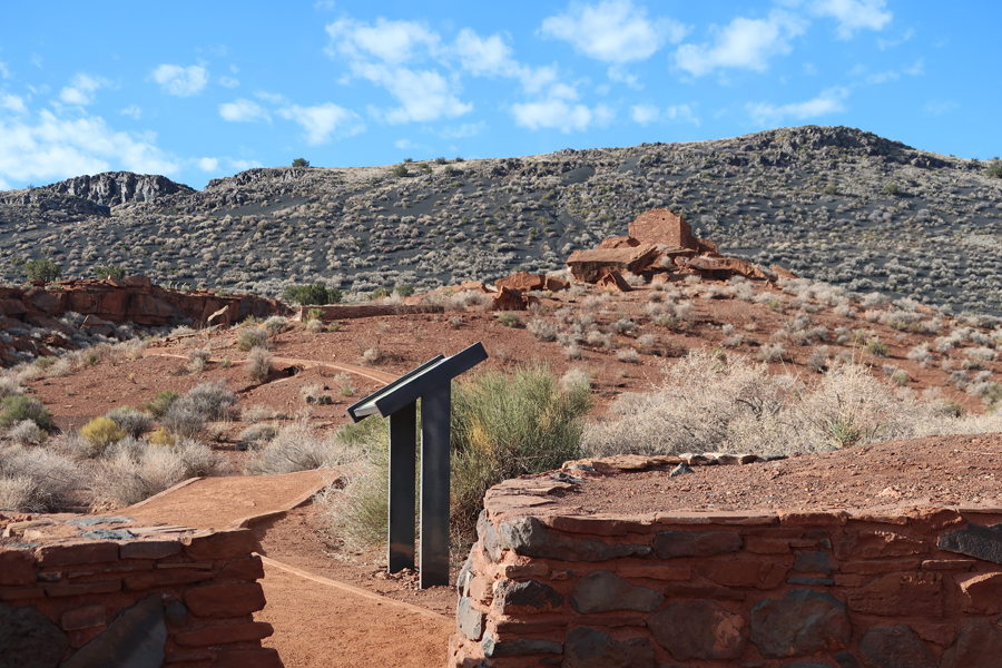
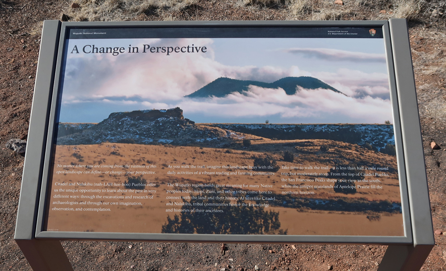
Nalakihu and Citadel Pueblos


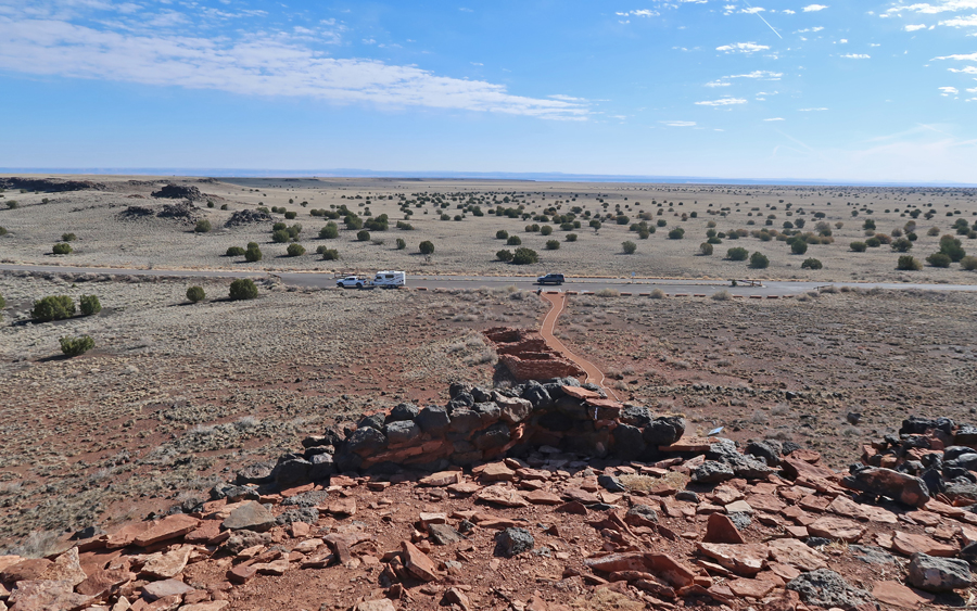
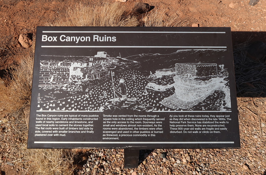
Box Canyon Pueblo


Lomaki Pueblo
Arrived in LA in time to go to the Burbank airport with Kate to pick up Helen for our Easter celebration.

Leave a comment