
Sequoia and Kings Canyon NPs and San Gabriel Mountains NM
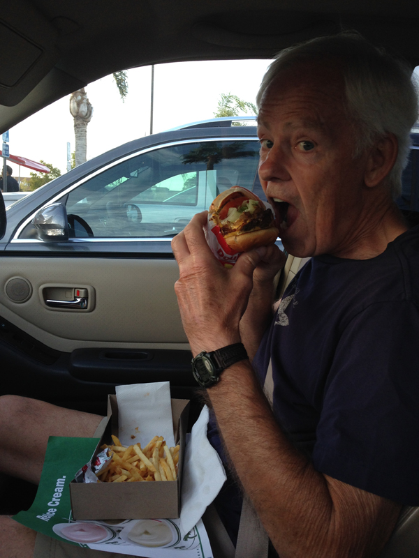
September 27, 20159/25/15 – Dinner – my first In-N-Out Burger – a very healthy Double-Double with a side of vegetables!
Arrived at our rental cabin in Three Rivers CA at 8pm after a four hour drive from LA
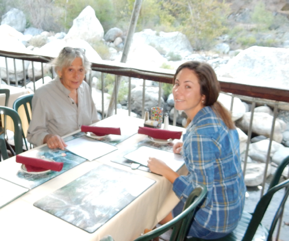
9/26/15 – We were up and packed by 7:30 but had to wait until 8am for the Gateway Restaurant to open for breakfast.

We opted to look at, rather than eat at, the table on the rock!

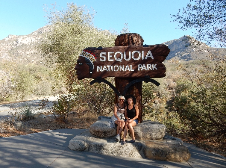
It was a short drive to the south entrance of Sequoia National Park
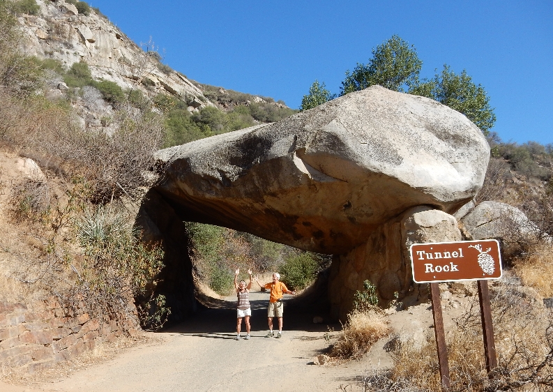
Our first stop was Tunnel Rock – couldn’t quite hold it up!
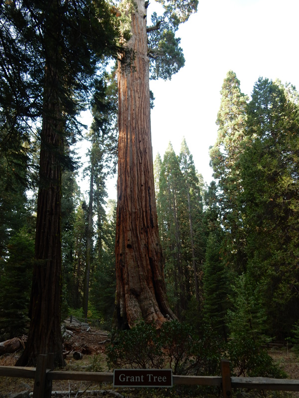
The Four Guardsman mark the entrance into the Sequoia groves


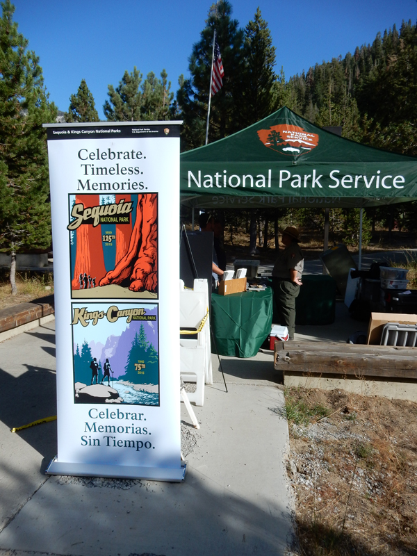
September 26, 2015 was the celebration for the 125th anniversary of Sequoia NP and the 75th anniversary of Kings Canyon NP. The celebration, the unseasonably warm weather and the fact that today was a “Fee-Free” day because of National Public Lands Day, resulted in a large number of people in the park. As a result we could not drive on the Crescent Meadow Road and had to take a shuttle to Moro Rock.

It was a quarter mile hike to the top of Moro Rock
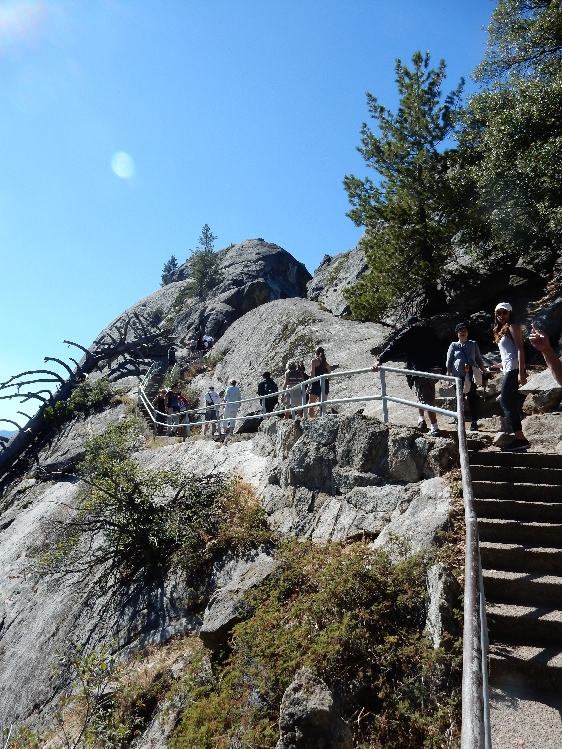
About 350 stairs

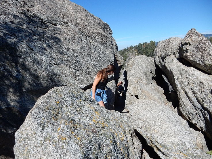
Through the rocks
Almost there

300 foot elevation gain to top at 6,725 ft

Sierra Nevada Mountains

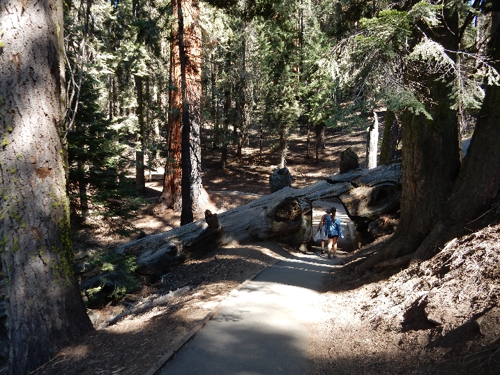
We then hiked about a mile on the Soldiers Trail from Moro Rock to Tunnel Log
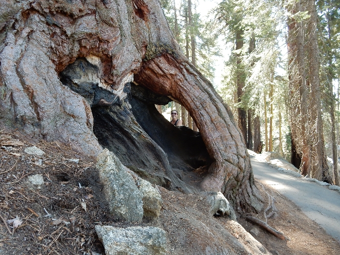
Roosevelt Tree hugger –

Kate was disappointed she was not able to drive her car through the Tunnel Log

Replenished our energy with the 125th anniversary celebration BBQ lunch at the Wolverton Picnic Area and then hiked a half mile to the General Sherman Tree

General Sherman Tree – “World’s Largest Living Tree” – based on volume of total wood. It is estimated to be 2,200 years old and each year it grows enough new wood to produce a 60-foot-tall tree of usual size! It is 275-foot-tall and has a circumference of 103 feet at ground level.

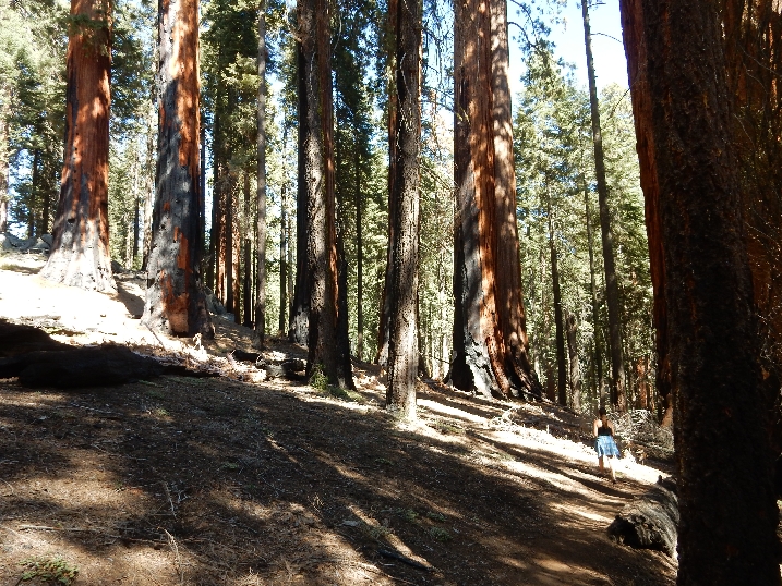
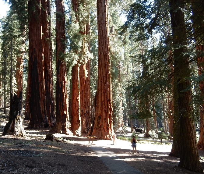
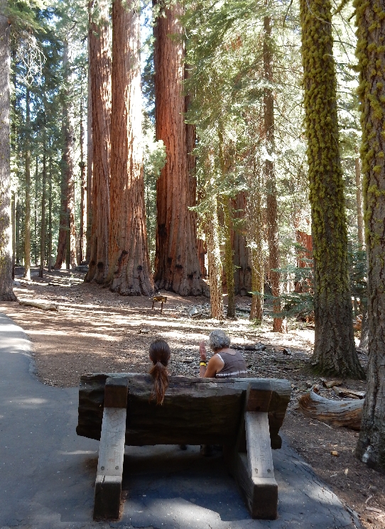
We then did the 2.5 mile Congress Loop through the Giant Forest
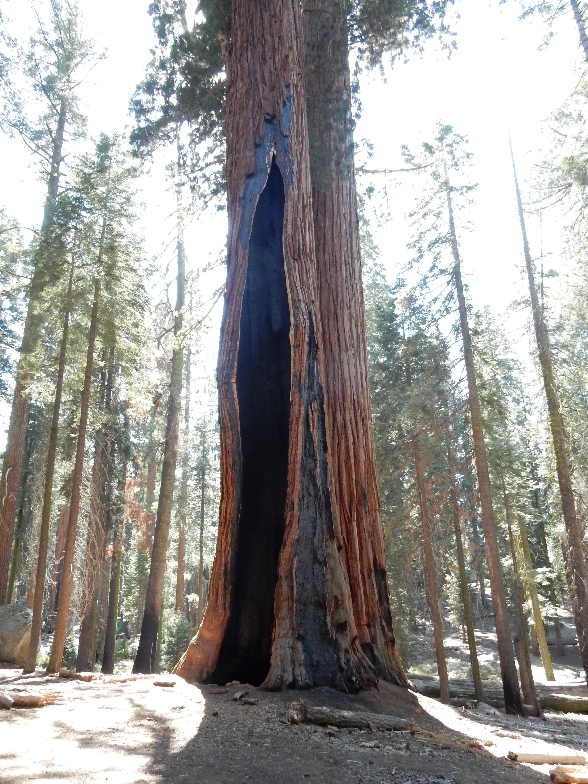
Sequoias are fire resistant with 31 inch bark

Senate Group
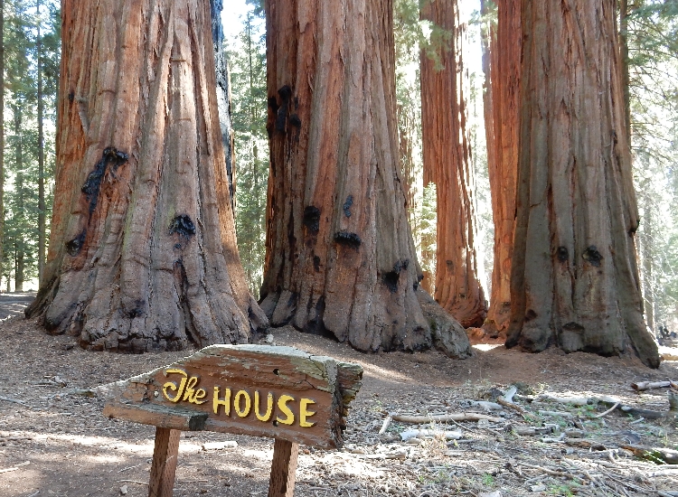
House Group
Fallen Giant
Marmot

Lodgepole Visitor Center
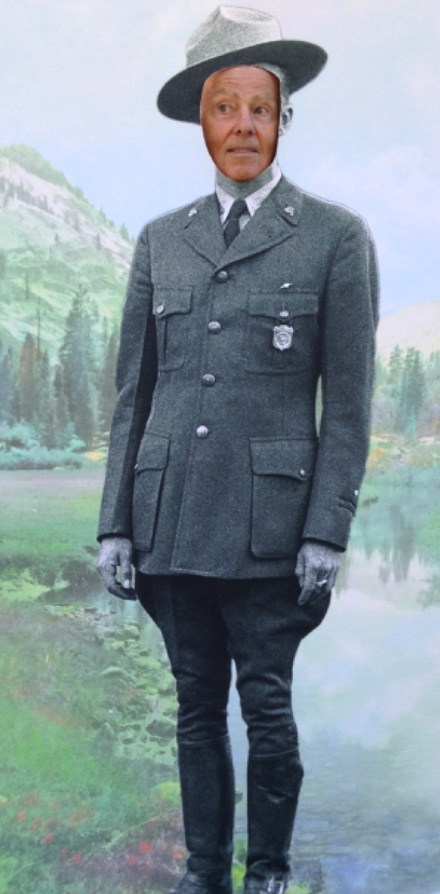
Ranger Tom
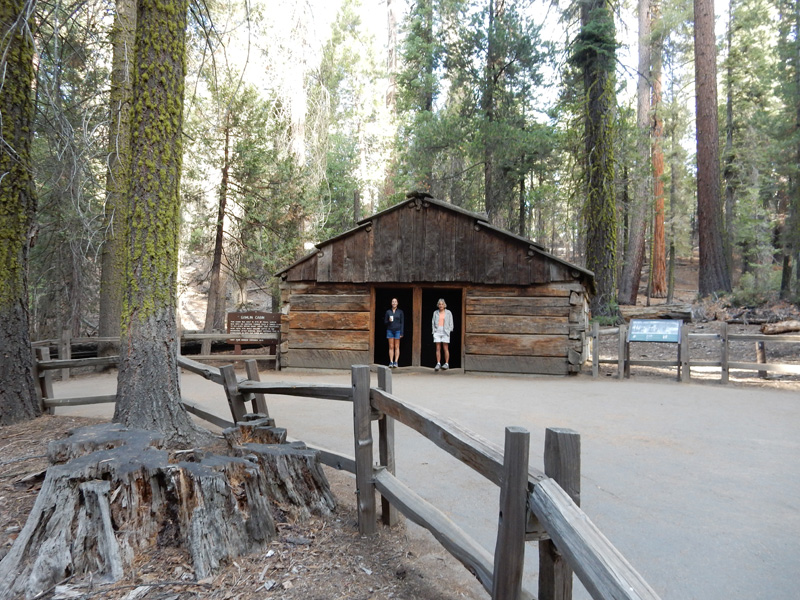
Grant Grove Duplex Cabin

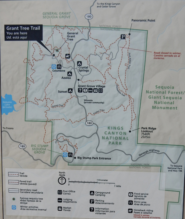
9/27/15 – Started with a morning hike around General Grant Grove
Tunnel Log Coffee Break

Gamlin Cabin
Sunny side of General Grant Tree- the “Nation’s Christmas Tree.” It is the second-largest sequoia in the world. It is 270 foot-tall and has a circumference of 107 feet at its base.

Forest Friend

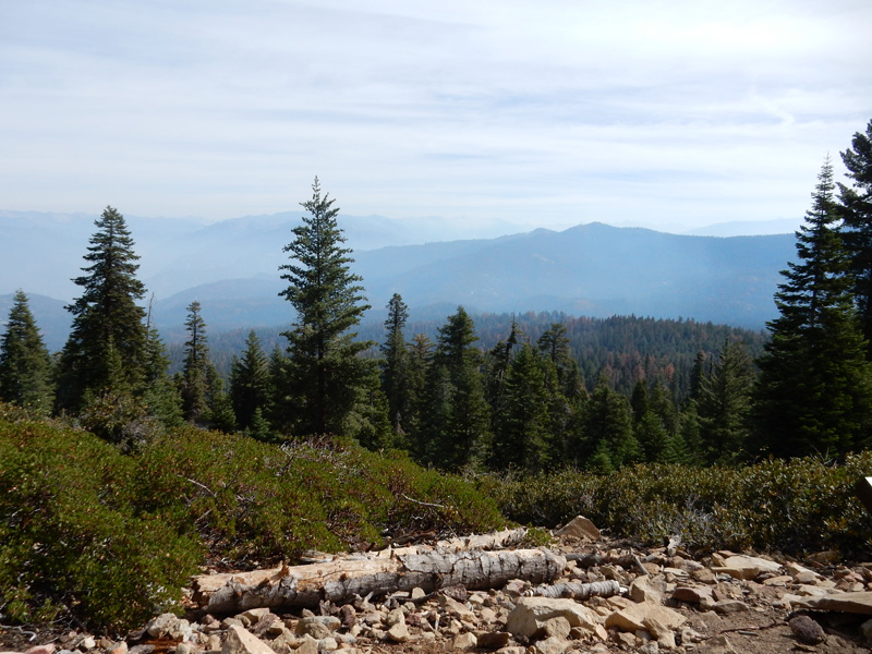
Had breakfast in Grant Grove Village and then did the short hike to Panoramic Point for a view of the Sierra Nevada.
Drove to the Redwood Mountain Grove, where Chad and I had hiked in 1998, and then had an adventure following Google Maps (gravel Forest Road not on maps) to Eshom and onward to LA.
9/28/15 – picked up our rental car at 8am one block from Kate’s house and drove to CA Rt 2 (Angeles Crest Highway), which passes through the new (2014) San Gabriel Mountains National Monument administered by the USFS. Stopped at the Switzer Picnic area.

To do a hike down Bear Canyon

About 3 miles roundtrip – trail follows Seco Creek

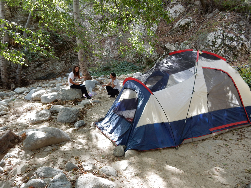
Canyon Campers
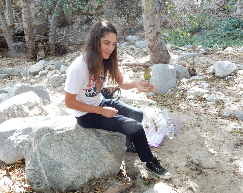
What makes the caged bird sing?
Junction with the Gabrielino Trail, which was closed
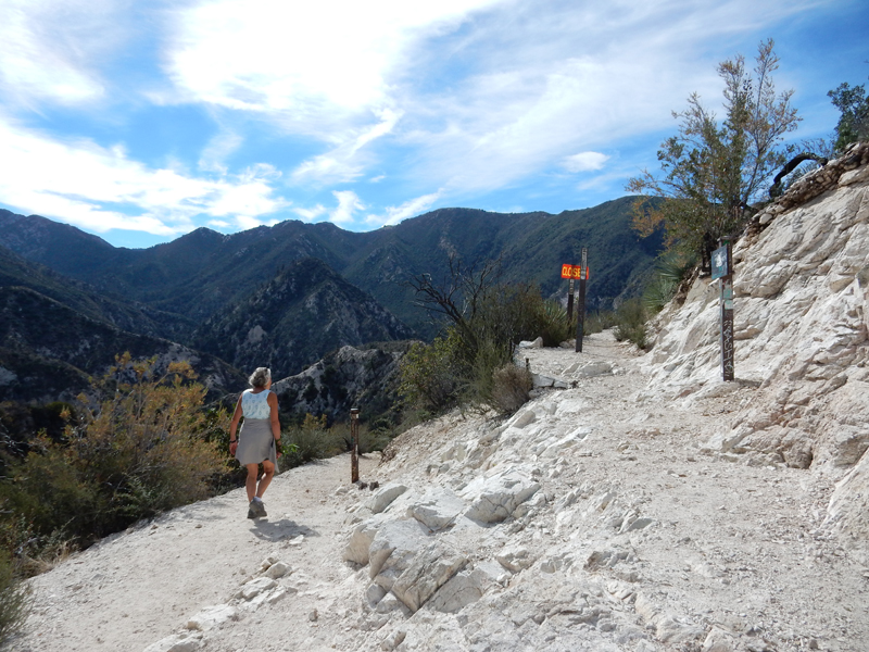
View from Trail Junction

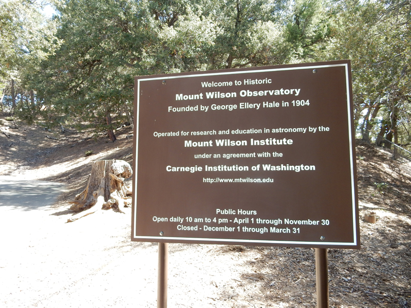
Mount Wilson Observatory was reached by a 4.5 mile spur road off of Rt 2
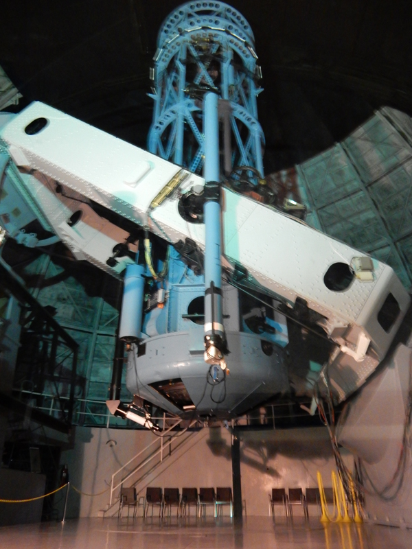
Edwin Hubble used the 100-inch Hooker Telescope to show that our galaxy is one among countless galaxies in an expanding Universe
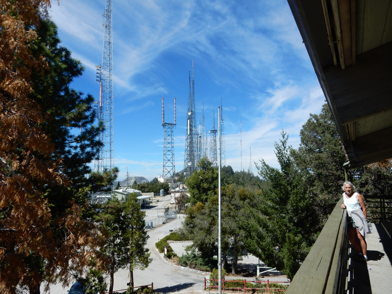
The peak is also covered with telecommunication towers
And a 150-foot Solar Telescope

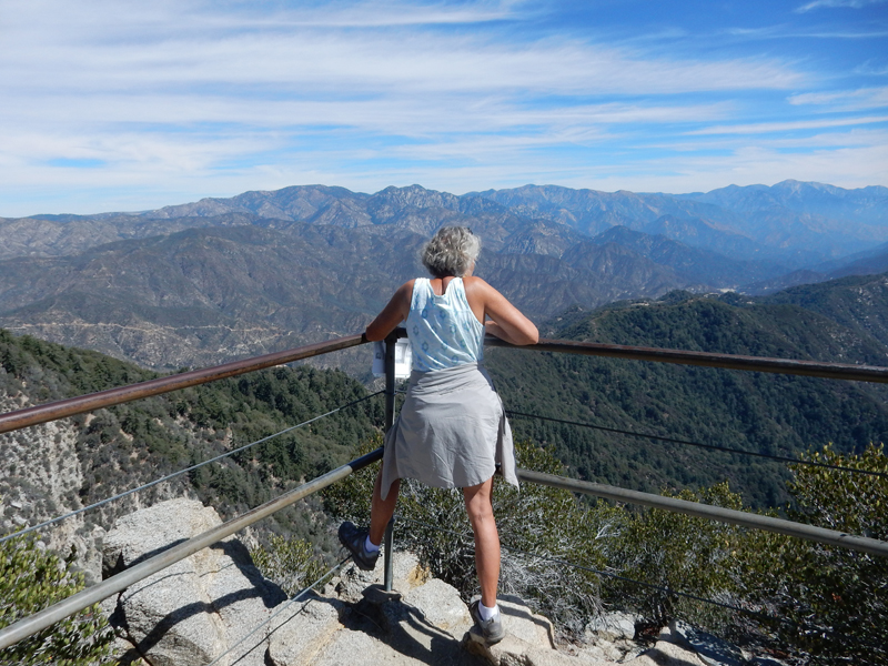
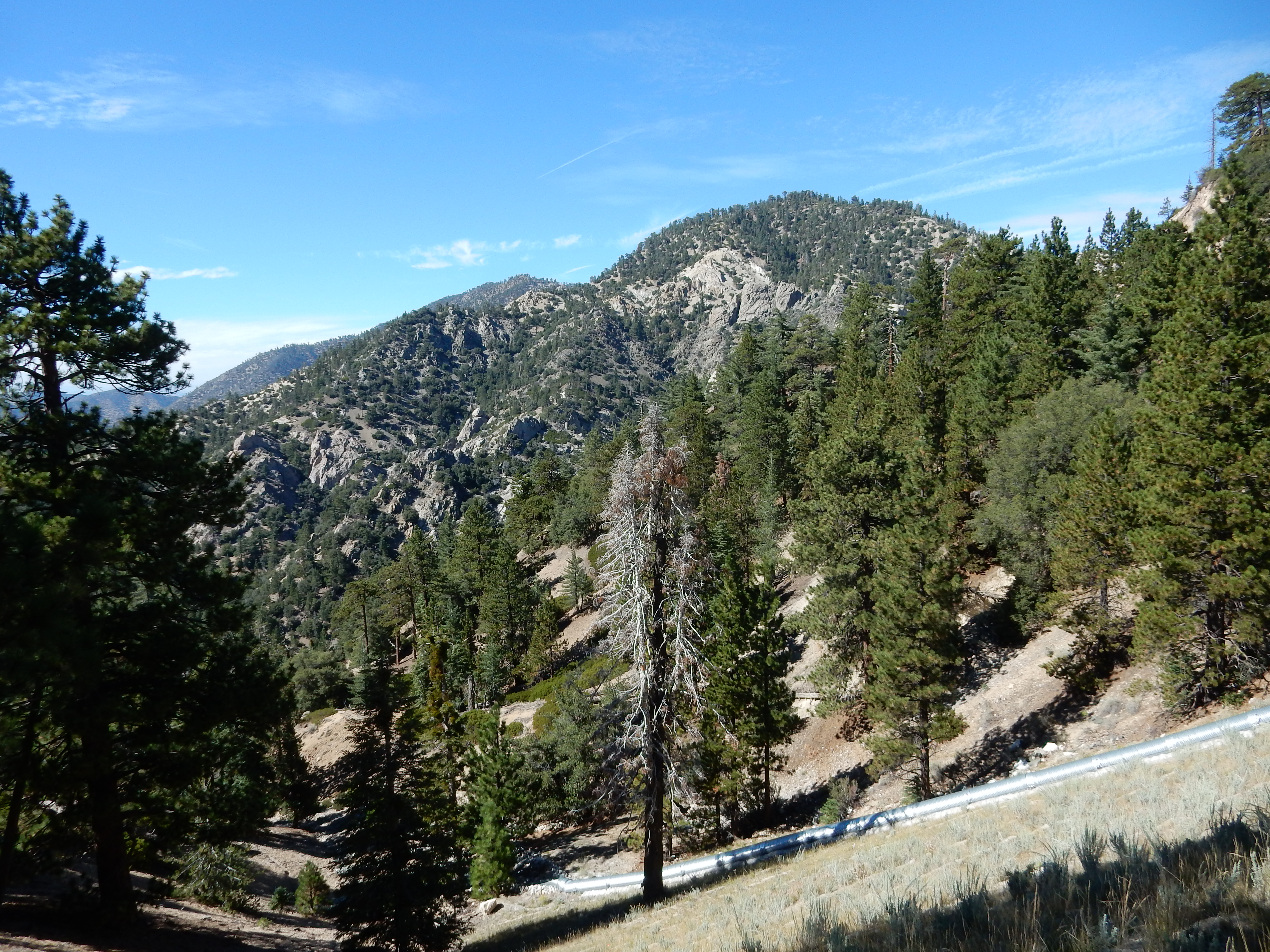
You also get good views of the northern LA suburbs 5,000 feet below and the San Gabriel Mountains
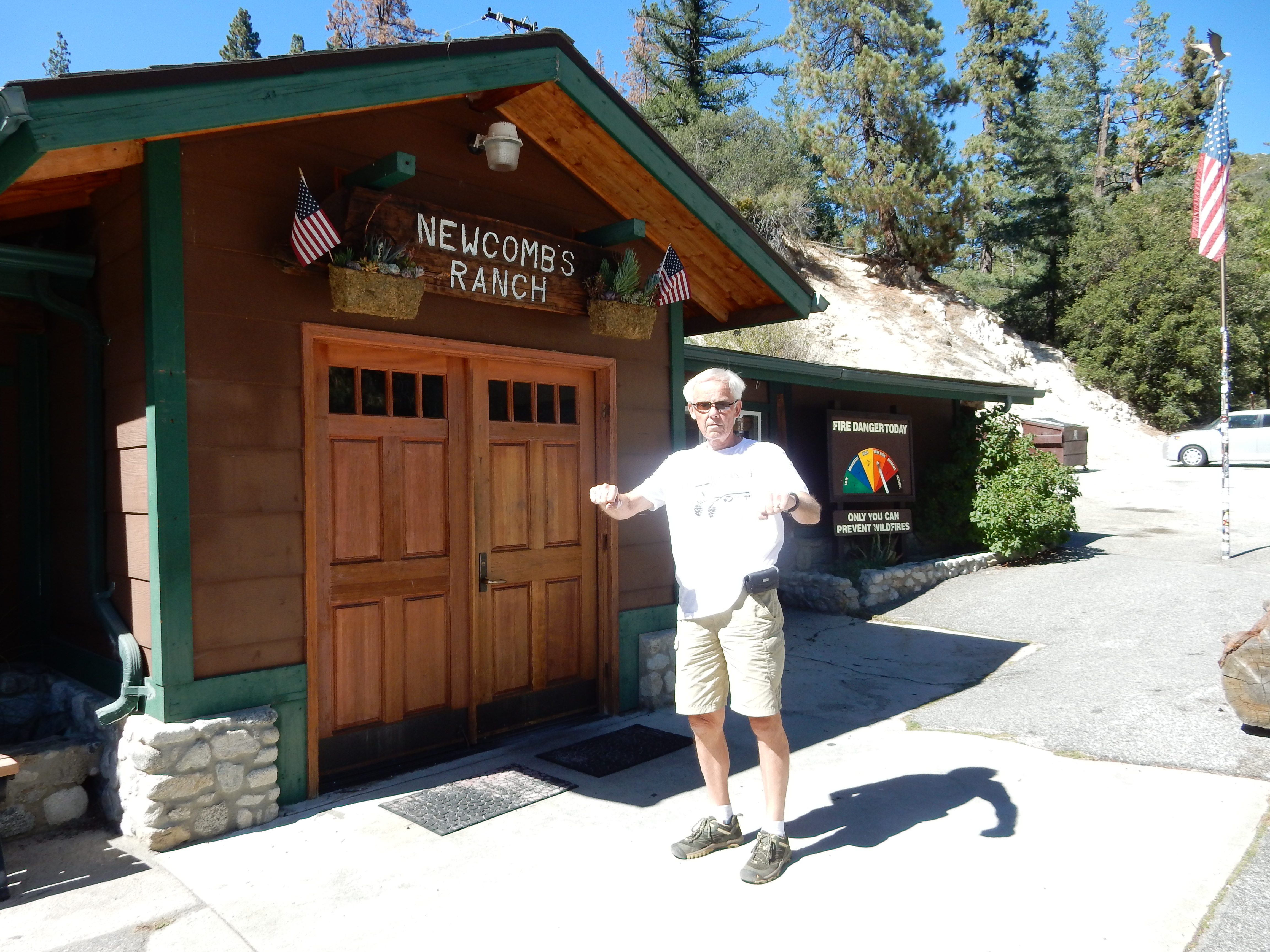
Had lunch at Newcomb’s Ranch, a motorcycle destination on Rt 2, now in the National Monument
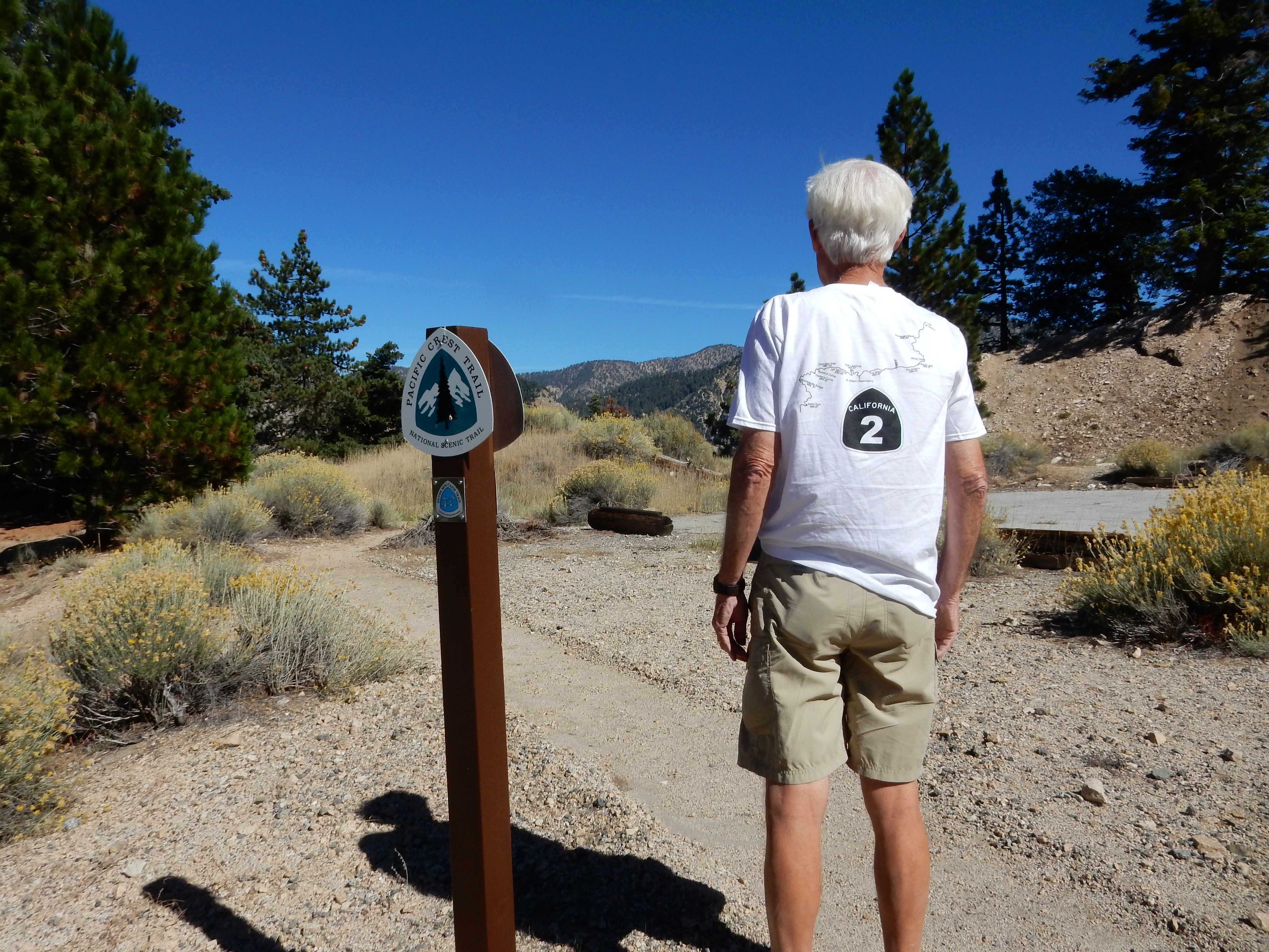
We then drove east on Rt 2 until we were stopped by a police barricade because a film crew was working down the road. It happened to be at a point where the Pacific Crest Trail crosses the road.
There was a good view of the distant Devil’s Punchbowl north of the road. We had hoped to hike there but will have to save that for another day.
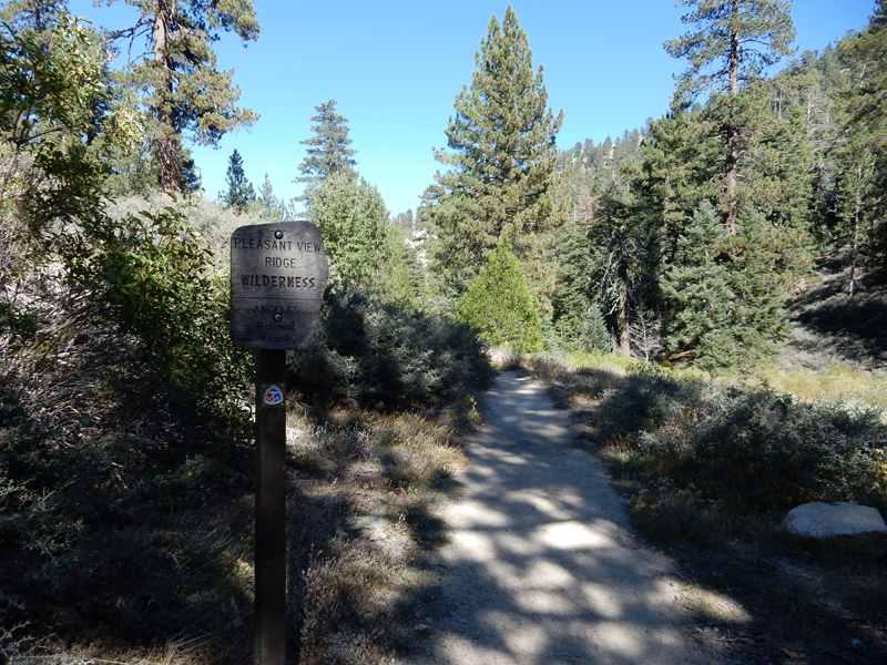
I decided to do another hike off Rt 2 on the way back – to Cooper Canyon Falls. I started on the Burkhart Trail at the Buckhorn campground. It is also part of the High Desert National Recreation Trail (NRT) – 10W02

Pleasant View Ridge Wilderness – Los Angeles National Forest
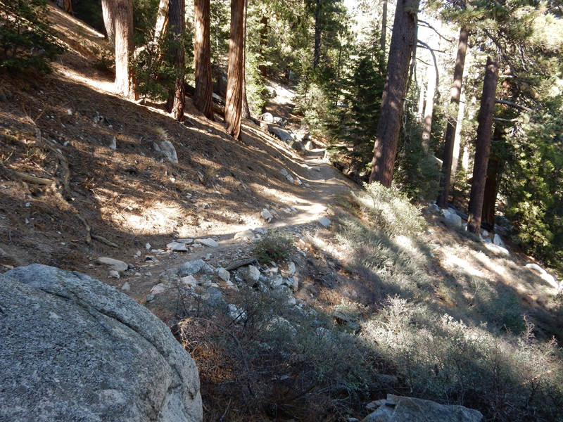
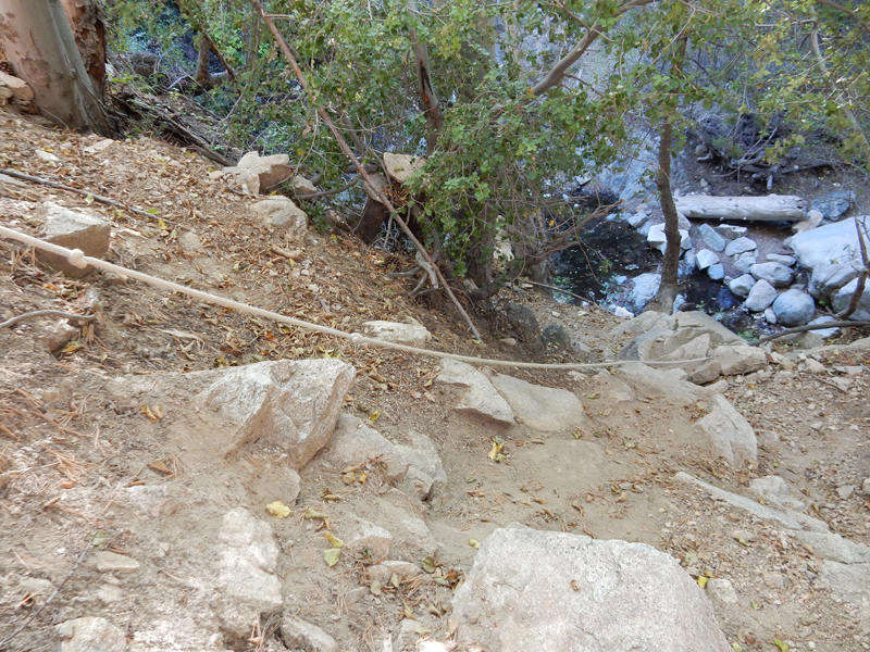
It was an enjoyable hike dropping about 800 feet over 1.6 miles to the Cooper Canyon Trail
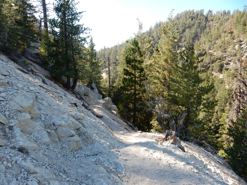
I did not see the drop into the canyon for the falls and hiked about a half mile until I realized that I must have missed it. I headed back and discovered a rope to aid the climb down into the canyon.
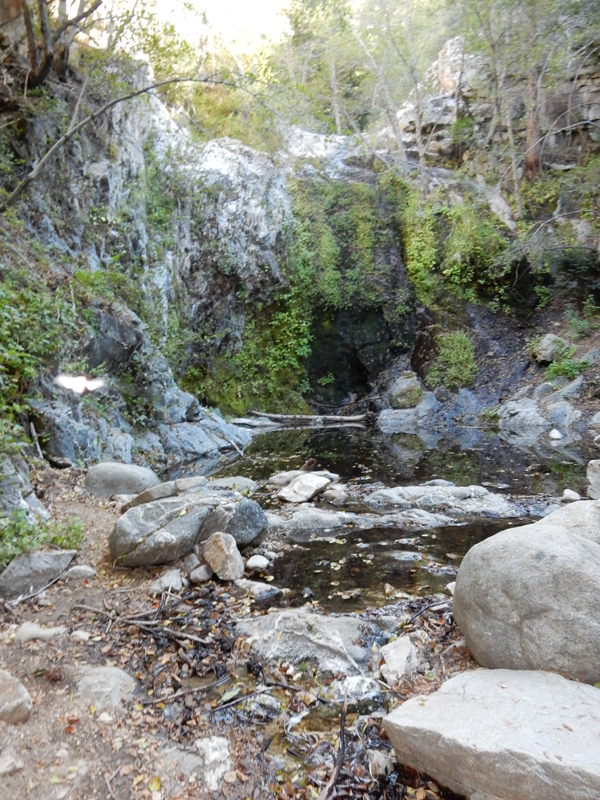
Because of drought conditions, Cooper Canyon Falls looked more like a weeping wall
We were back at Kate’s home at 6pm. In the evening we walked to Barnsdall Art Park to see the eclipse of the moon


Leave a comment