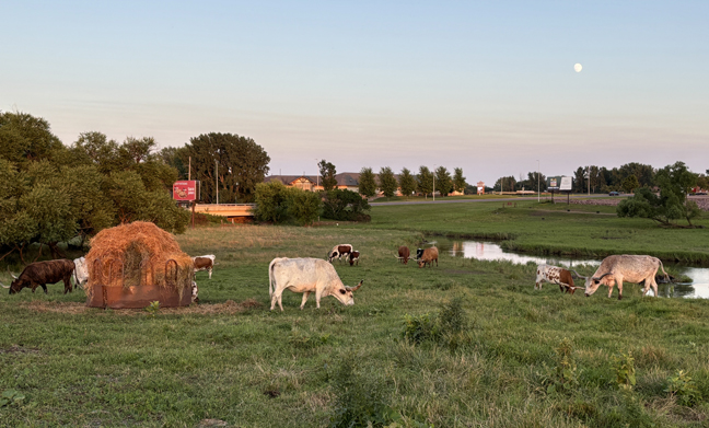
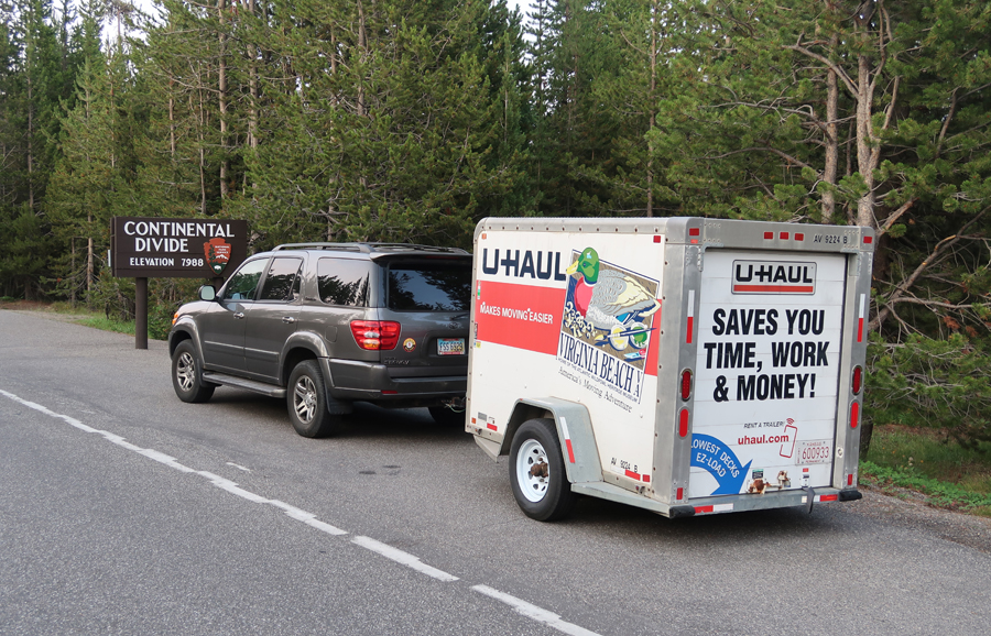
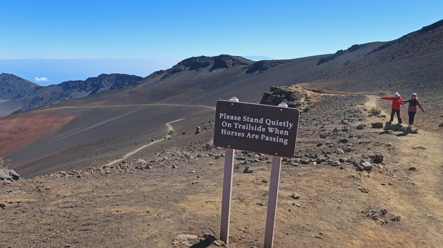
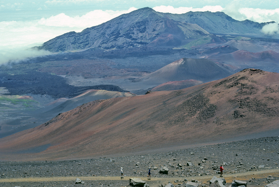
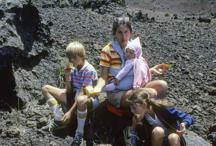
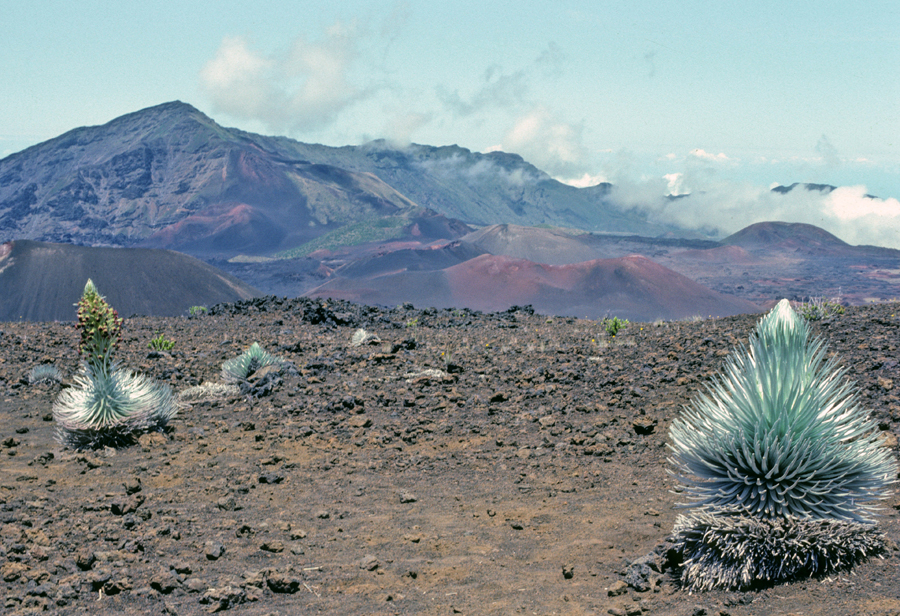
7/18/24 – 12hr drive to Fairmont MN. We were pulling a 5 x 8 U-Haul trailer with items for Kate’s house in Portland OR. We were surprised to see a herd of Texas Longhorns as we took an after-dinner stroll from our motel.
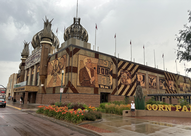
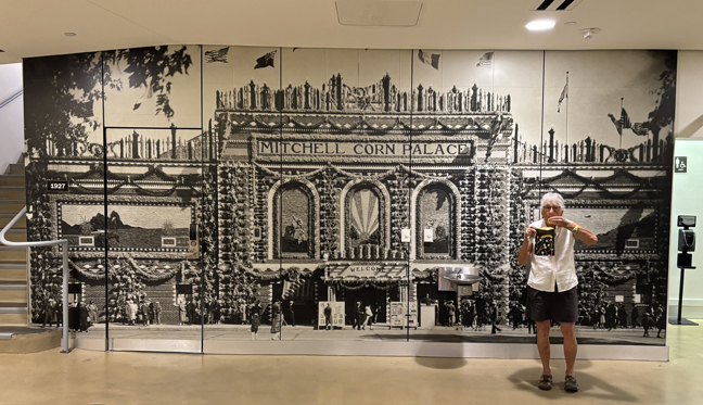
7/19 – stopped in Mitchell SD to tour The World’s OnlyCorn Palace. The first one was built in Sioux City in 1887, and then each year until 1891 when the city flooded. In 1892 Mitchel SD built it’s first Corn Palace and the tradition has continued every year. Each year the “palace” is stripped and redecorated with new corn and grains.
Of course, we had to have some popcorn before we left –
Made it to Rapid City SD in time to attend my first meeting at the Highpointers Club Convention
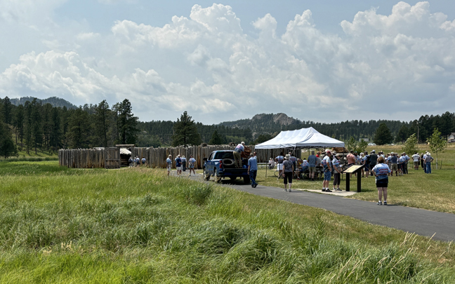
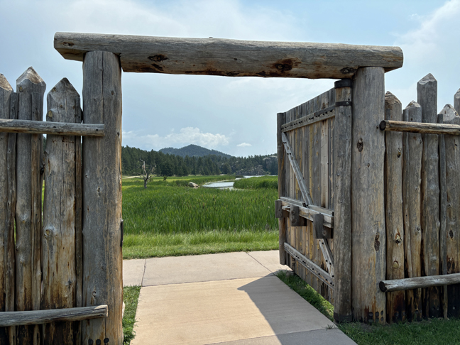
7/20 – we took advantage of the Convention bus trip to the Gordon Stockade in Custer State Park for the traditional watermelon feast and pizza.
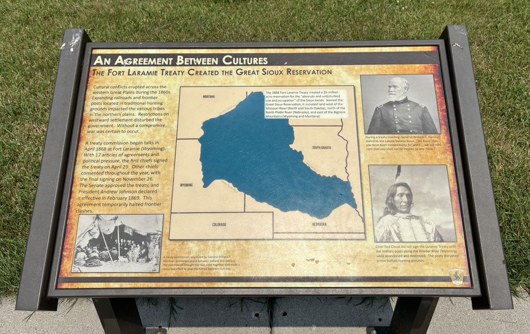
1868 – Fort Laramie Treaty establishing the Great Sioux Reservation
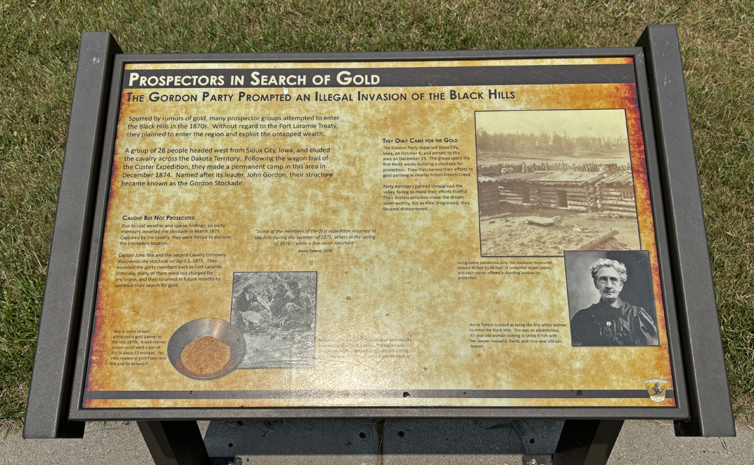
Story of the Gordon Stockade
Black Hills of SD
In the evening, gave a slide presentation at the Annual Club Banquet, reviewed club history and encouraged members to participate in the Buy-A-Brick program to support the HPC Display at Campbell Hill, the highpoint of OH.
7/21 – 2hr drive to Devils Tower NM
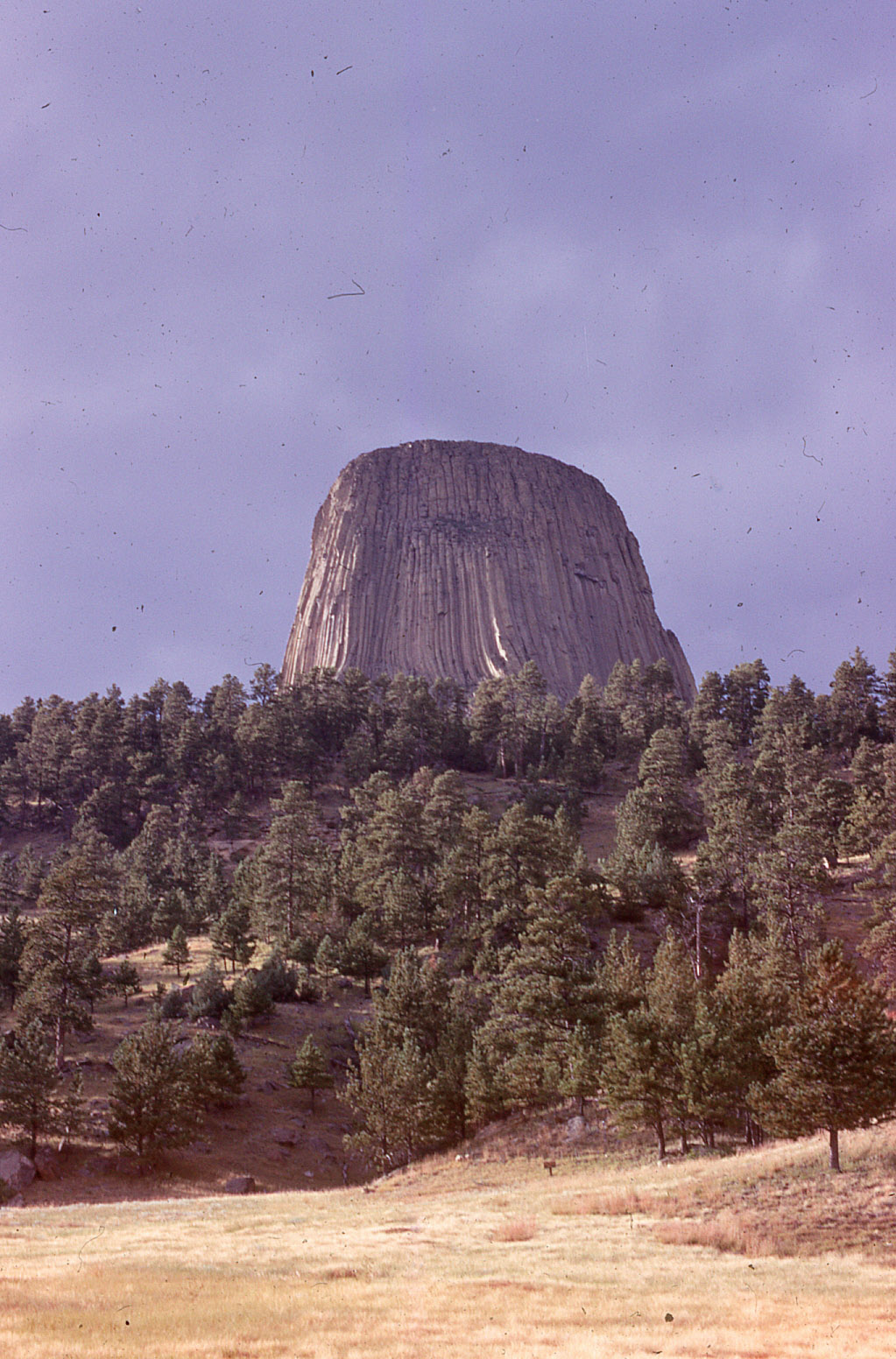
We visited here in 1969 when we were moving from Seattle back to the U of MD to continue our graduate work. I then visited with Stacy in 1993.
2024
1,000ft across at base
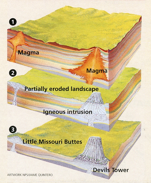
How Devils Tower was created –
Again, did the 1.5-mile loop trail around the 867ft monolith.
The top is 180ft x 300ft and was featured in the 1977 movie classic “Close Encounters of the Third Kind” by Steven Spielberg.
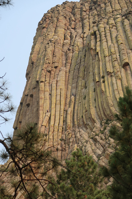
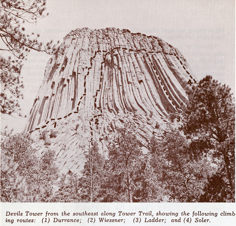
I wanted to climb Devils Tower but could never fit it into our schedule. Climbers and standard routes –
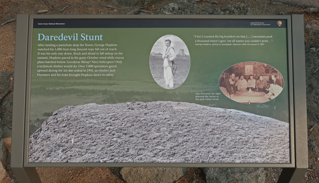
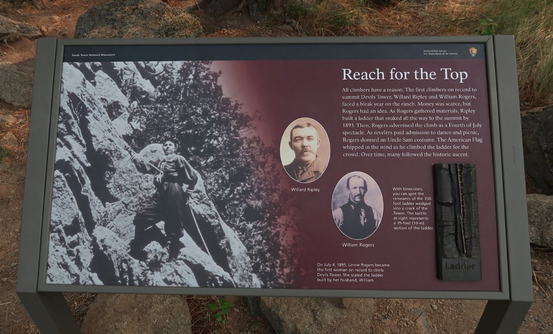
Climbing history and some climbers on route –
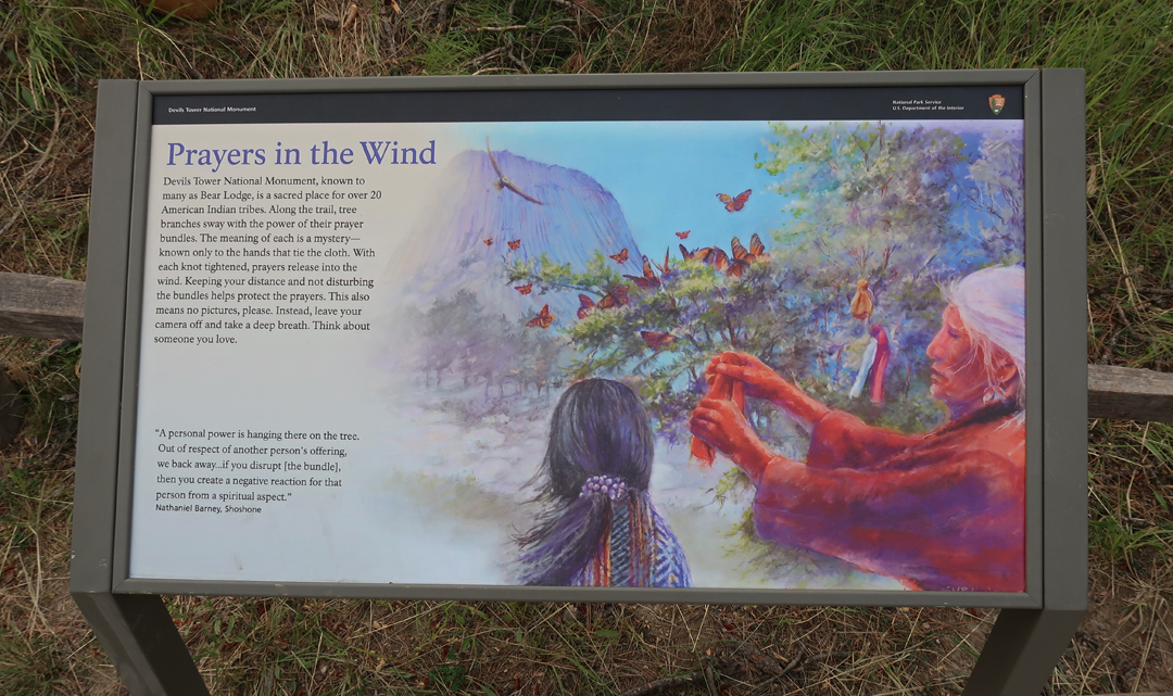
A sacred place for Native Americans –
Prairie Dog Town – 1969
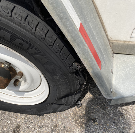
Continued West on I-90 until we blew a tire on the U-Haul trailer by Crazy Woman Creek in the “middle of nowhere.”
Fortunately, we had cell phone service and were able to call the U-Haul emergency number. A new tire was pre-mounted on a rim and brought to us from over 40-miles away. BUT, that made us late driving through Yellowstone NP.
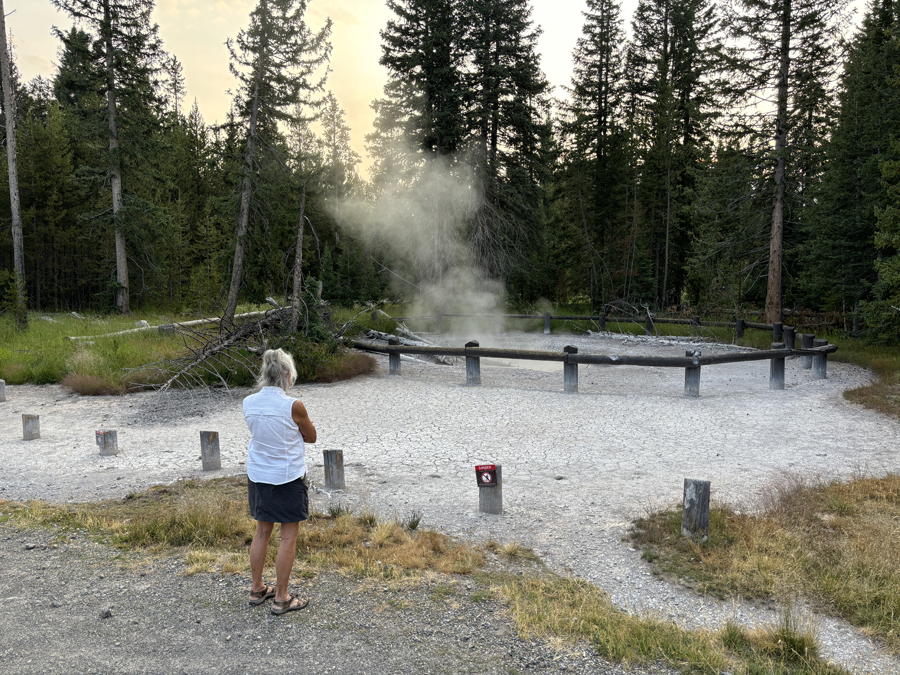
West Thumb Geyser Basin and Yellowstone Lake
Crossing the Continental Divide
South Entrance
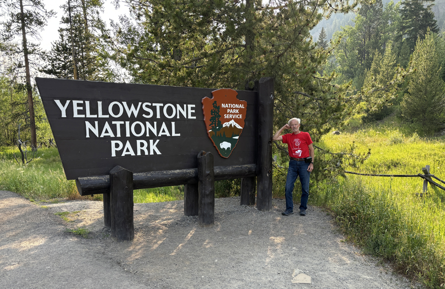
This was my sixth visit and Helen’s second, but this is my first entry on Yellowstone NP in this Blog. So, here is an overview of our first National Park (1872). According to Ken Burns, National Parks are “America’s Best Idea.” I have included some pics from each visit.
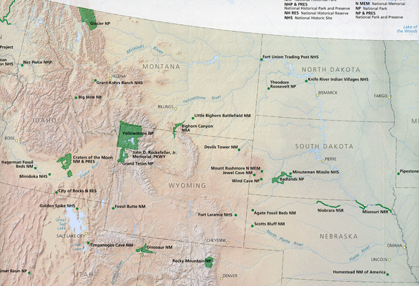
Yellowstone NP is in the Northwest corner of WY but also includes areas in the bordering states of MT and ID. It is a large NP and has four major areas: the #1 Geyser Basin, #2 Yellowstone Lake, #3 Mammoth Hot Springs, and #4 Grand Canyon and Falls of the Yellowstone River.
#1 – the Geyser Basin is roughly a 30- by 45-mile oval that is the result of a collapsed volcano. Someday I would like to stay at the famous Old Faithful Lodge (1991).
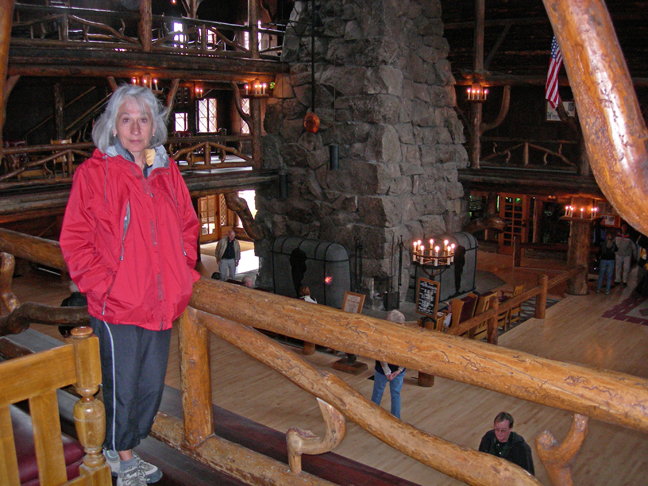
Lunch in Old Faithful Lodge 2007
There are more geysers in this basin than anywhere else in the world. Geyser Hill 2007
Heat from deep underground magma powers the geysers, hot springs, fumaroles, and mudpots.
Old Faithful is the world’s best-known geyser with regular eruptions varying between 40 and 126 minutes (1967).
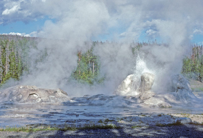
It is great fun to walk through the geyser fields and see, hear, smell, and feel the activity. Grotto Geyser 2007
1991
Grand Prismatic Spring 1967
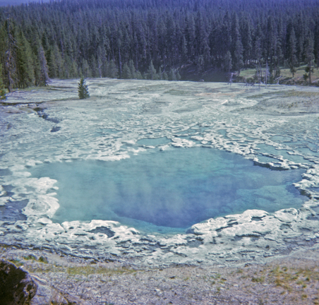
Morning Glory Pool 1991
Firehole River 1991
Riverside Geyser 1991
#2 – Yellowstone Lake is noted for fishing, underwater hydrothermal vents, and a great variety of birds. It is America’s largest high-altitude lake (7,733ft).
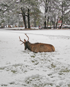
The forested slopes provide habitat for many large animals – Elk 1991 –
Note the buffalo eyeing the trout fisherman (1991).
There have been large forest fires in the NP, but the land has made a surprisingly swift recovery.
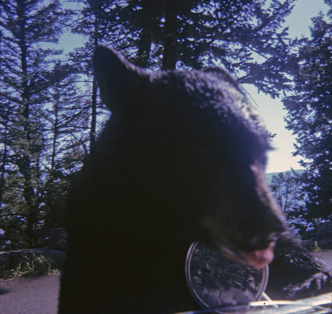
In the 1960s we saw bears all over the place, on the roads, and even in our camp – one knocked over our cooler, opened it, and ran off with a pound of bacon! In 2007, we did not see any. 1967 –
Twin Cubs
Feed Me!
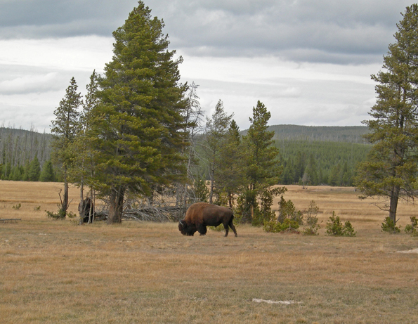
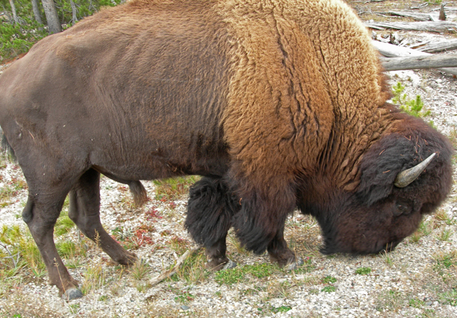
Times and conservation practices have changed. Now, buffalo are more dangerous for tourists than bears! Buffalo Herd – I did not see any buffalo here in the 1960s.
Do Not Approach Buffalo (1993)!
Bison = Buffalo 2007
Elk 2007
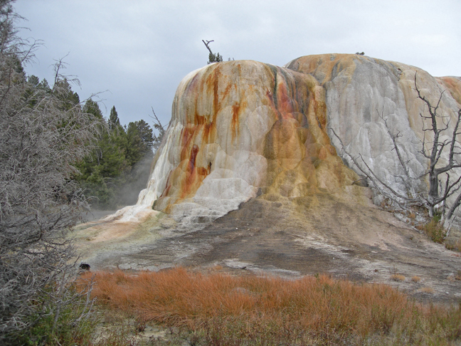
#3 – Mammoth Hot Springs are in the NW part Yellowstone NP. The springs have produced colorful travertine terraces of calcium carbonate -1967.
There are boardwalks to take you through the formations (2007).
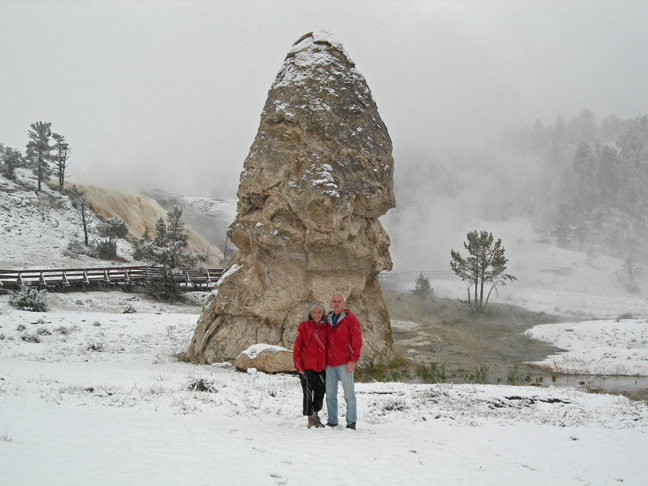
In October 2007, we awoke to snow.
Liberty Cap
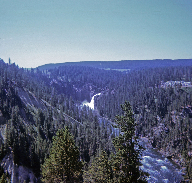
#4– Grand Canyon and Falls of the Yellowstone are in the north central part of the park. The canyon is 20 miles long and 800ft to 1,200ft deep. Upper Falls of the Yellowstone River in the distance – 1991.
There are spectacular views and excellent trails in this area. Inspiration Point 2007 –
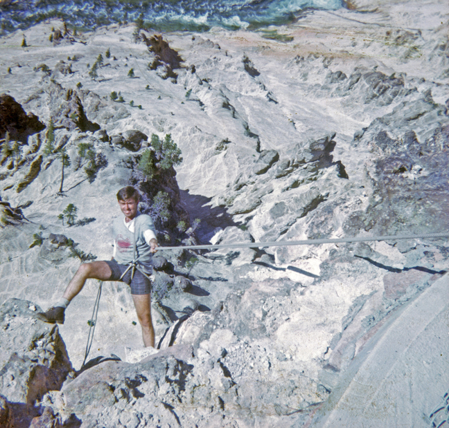
In 1967 when I was young and foolish, I received a ticket for rock climbing there. My friend Jay and I had tied off our rope at Inspiration Point and rappelled into the canyon.
No seat harnesses back then, you worked the rope through your groin and over your shoulder – Yellowstone River below.
Grand Canyon of the Yellowstone, Upper Falls – 1967
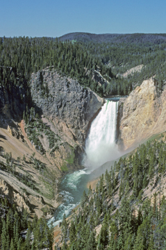
Lower Falls of the Yellowstone River 308ft – 1991
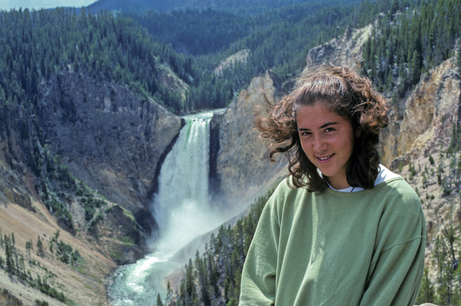
Stacy at Lookout Point Lower Falls – 1993
More Waterfalls! – Tower Falls (132ft) 1967
Stacy at base of Tower Falls in 1993
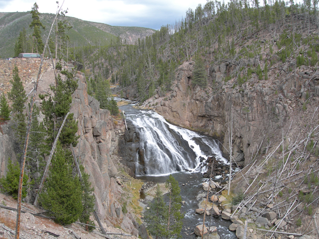
Gibbon Falls (82ft) – 2007
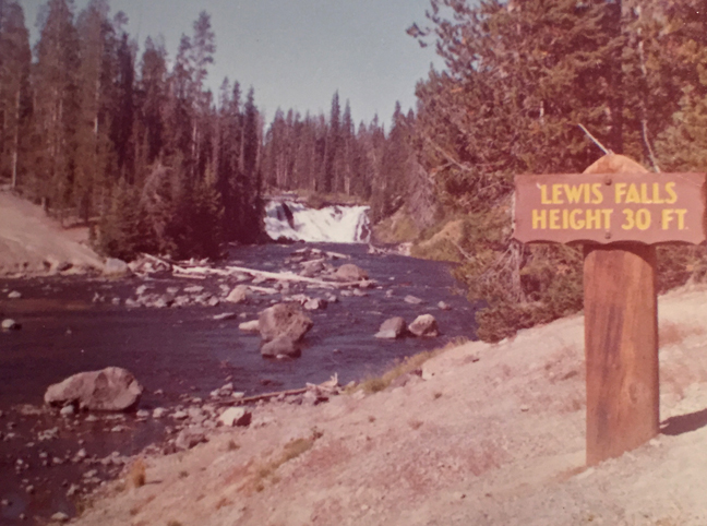
Lewis Falls near South Entrance – 1963
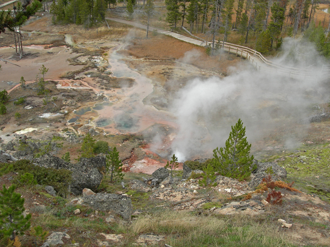
Artists Paintpots – which are different color mudpots.
America the Beautiful 2010 WY State Quarter
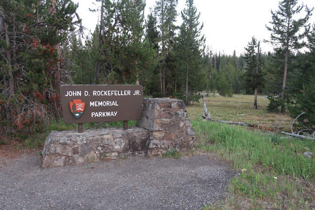
In 1972 Congress dedicated a 24,000-acre parcel of land as John D. Rockefeller, Jr. Memorial Parkway to recognize his generosity and foresight. Congress also named the highway from the south boundary of Grand Teton to West Thumb in Yellowstone in honor of Rockefeller. The parkway provides a natural link between the two national parks and contains features characteristic of both areas. Not only that, but wildlife can freely move between Yellowstone and Grand Teton NPs. We stopped briefly at the Flagg Ranch Info Station along the PKWY.
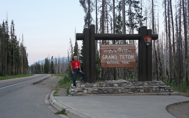
Then entered Grand Teton NP about 9pm.
Lots of traffic on the Memorial Parkway as we drove to our Super 8 motel in Jackson Hole WY.
Jackson Hole has become extremely expensive with wealthy people buying up land and property. This basic old motel cost $325.86 for one night! See this Blog for June 2017 to see our 49th wedding anniversary activities and pics, including two days hiking in Grand Teton NP.
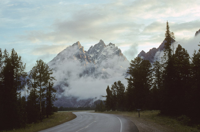
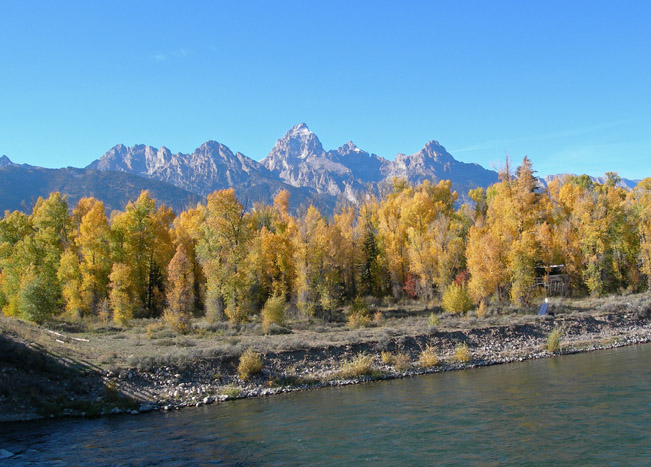
The following are pics from previous visits to Grand Teton NP.
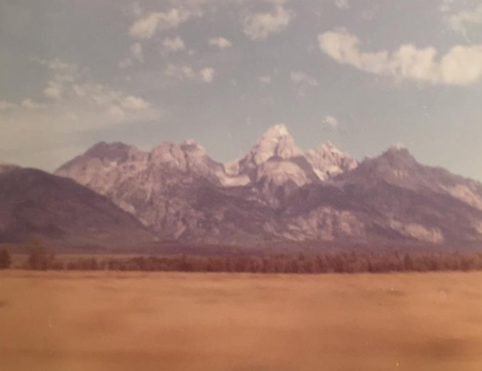
I have visited Grand Teton NP seven times – note the year on each photo. The first is from 1963 – it is blurry because it was taken out the window of the car.
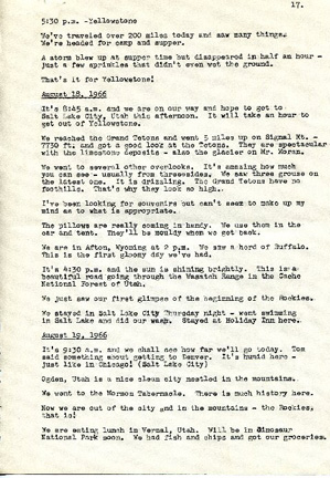
In 1966, I took my mother and three brothers on a road trip “Out West.” I have included one page of my mother’s diary from that trip.
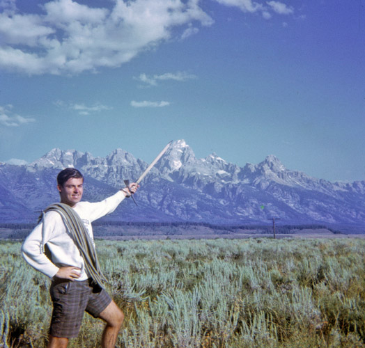
Here is a “Hero” shot of me with an ice axe and manila rope from 1967. My friend Jay and I did a lot of climbing on a 10,000-mile road trip through the western states and Canada.
Stacy and I stopped in the park in 1993.
Helen and I did a 7-mile hike to Taggart and Bradley Lakes, a 7-mile trail around Jenny Lake, as well as other trails in October 2007.
View from Signal Mountain
8-mile hike to Jenny Lake, Hidden Falls, and String Lake
Jenny Lake
Hidden Falls
In 2007, we were invited to the National Geographic International Film Festival at the Jackson Lake Lodge by a friend who was displaying her work at the National Museum of Wildlife Art. A special treat was dinner on an Elk Ranch along the Snake River.
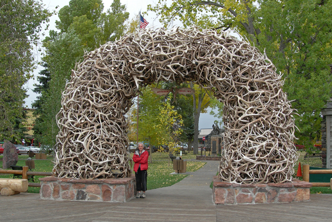
Elk Horns, Jackson City Square
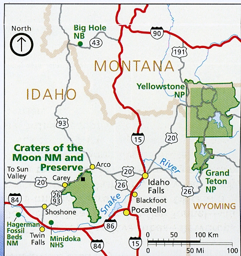
7/22 – 4hrs to Craters of the Moon NM Visitor Center in ID. I visited in 1966 and have my mom’s diary entry, but did not have any photos from that visit. I visited Craters of the Moon National Preserve (a separate NP Unit) in May 2018 – see Blog. So, my objective on this trip was to fill the gap in my photo records.
Brochure
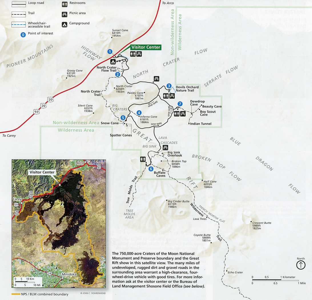
Monument Map showing 7-mile loop road.
Entrance
Our first stop was the Visitor Center to get a free cave permit.
We then did the North Crater Flow Boardwalk Trail (0.3-mile), the first of several short hikes.
Cinder Cone Fragments
Cinder Garden with dwarf buckwheat
We then hiked up Inferno Cone (0.4-mile rt) with an elevation gain of 164ft.
View from top, including Big Cinder Butte, one of the world’s largest basaltic cinder cones.
Return
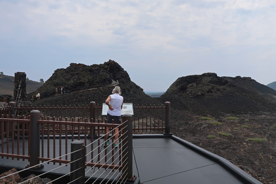
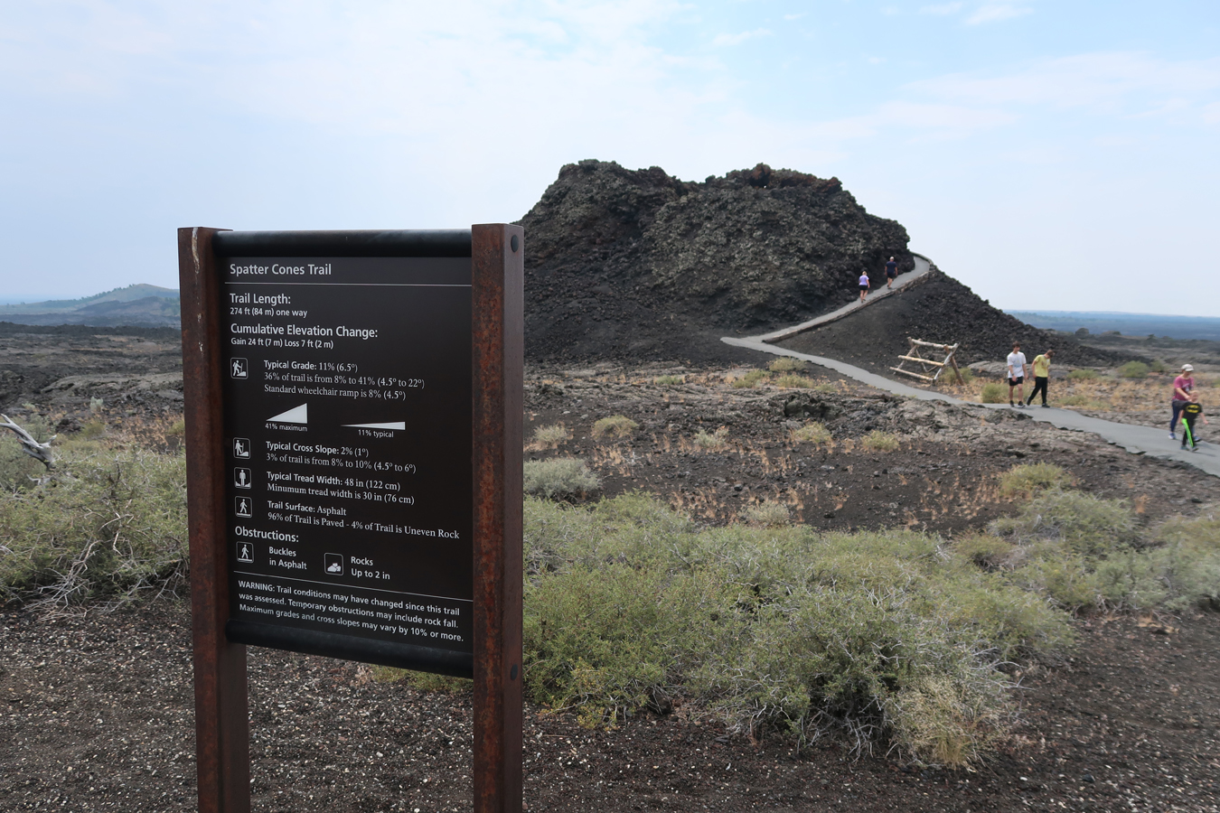
We then did short walks to two Spatter Cones
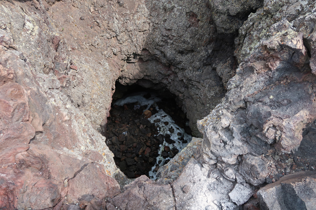
One was called a “Snow Cone” because of the snow/ice in the bottom. In 1966 we were able to hike into an “Ice Cave,” which provided a wonderful respite from the 95-degree temperature that day.
Second Spatter Cone
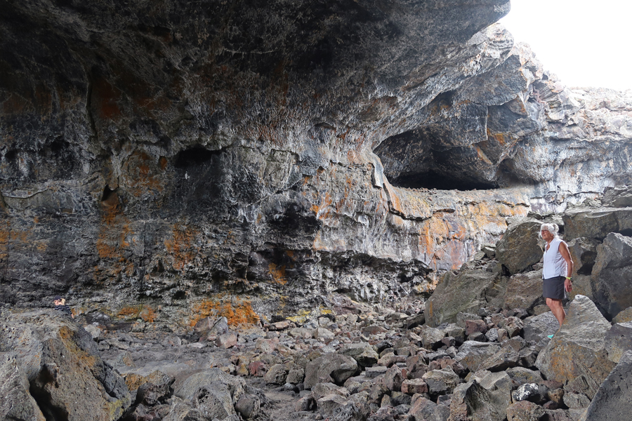
Only two lava tube caves were open (with permit), along the Caves Trail (2-miles rt).
Dewdrop Cave
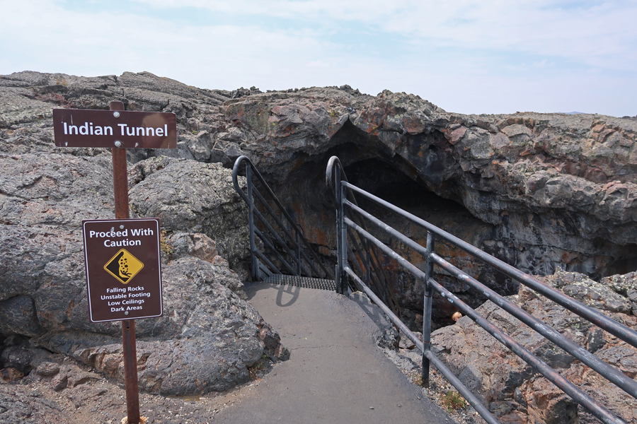
And Indian Tunnel
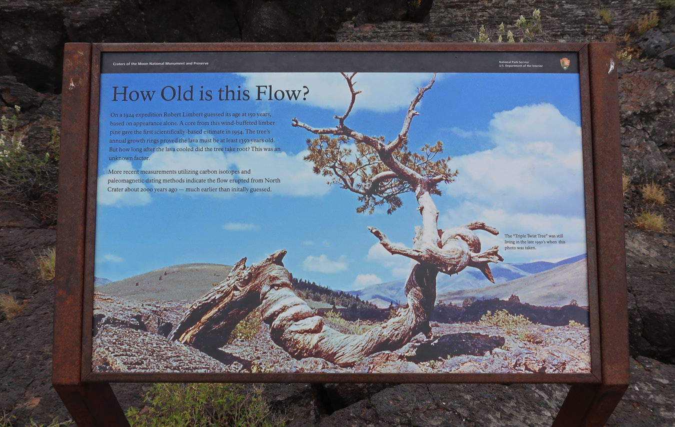
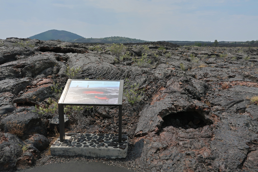
Lava Flow
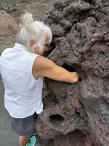
Helen wanted to find out what was rattling in there –
Again, stopped at the Visitor Center
Followed by a 3hr drive to Boise ID, where it was 105-degrees!
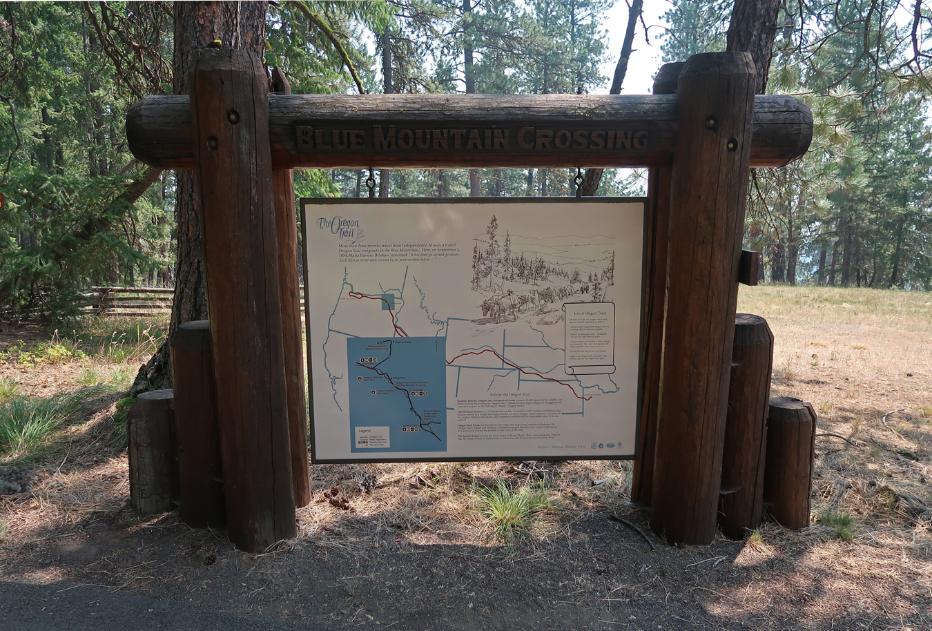
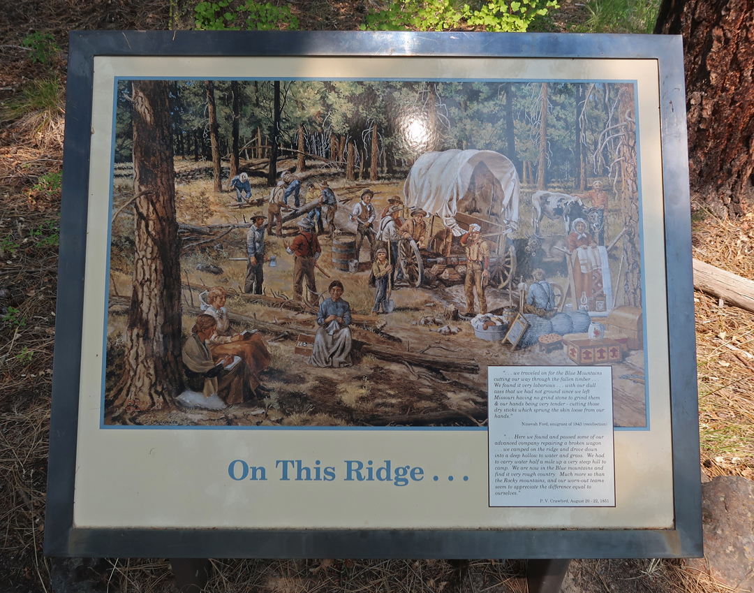
7/23 – we awoke to a hot hazy day. Wildfires were burning along our route. After about 2hrs of driving on Interstate-84, we came to a location where it had just been closed, which resulted in a long detour on back roads. After returning to I-84 we saw a sign for “Blue Mountain Crossing Interpretive Park” and took the exit. It was a stop on the Oregon National Historic Trail.
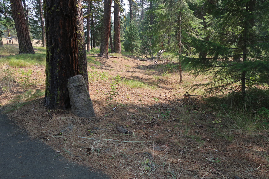
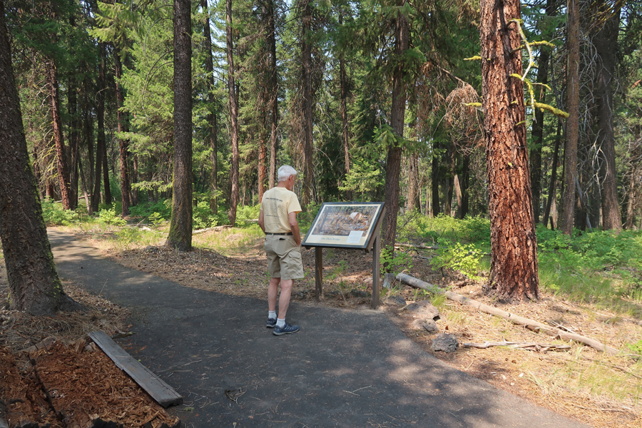
There was a nice loop trail with excellent pictorial markers.
From the late 1830s until the 1860s, thousands of emigrants followed the trail to the Willamette Valley of Western Oregon. The trail then became a stagecoach line.
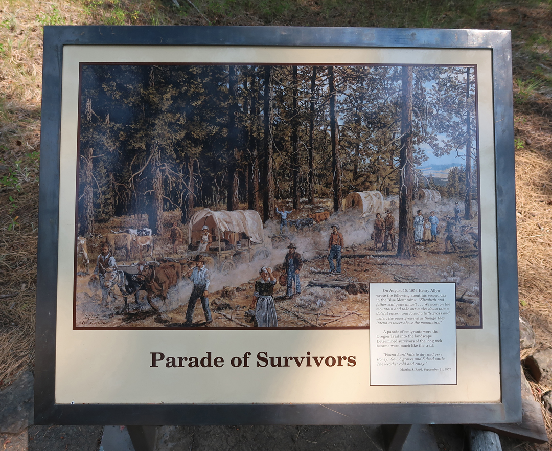
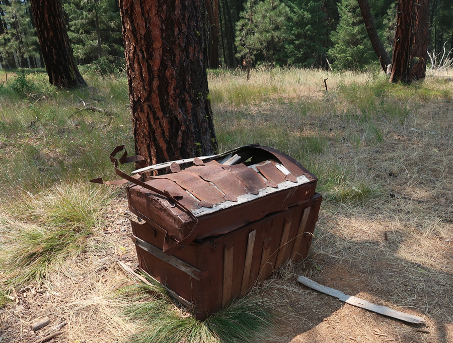
A “Parade of Survivors”
“On This Ridge” –
Arrived at Kate’s house, settled in, and walked to the food trucks for dinner. She was in TX on a business trip.
7/24– 7/27 worked outside weeding, cutting, and cleaning.
7/28 – Sunday Mass at the Chapel of Mary at the Grotto. It is set in a beautiful park area with high cliffs and trails, including one featuring the stations of the cross.
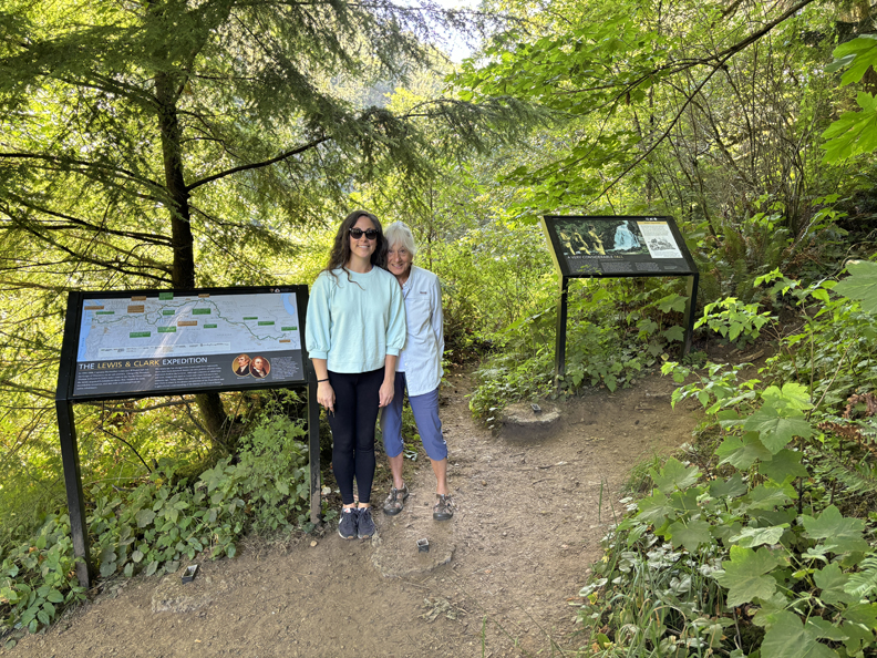
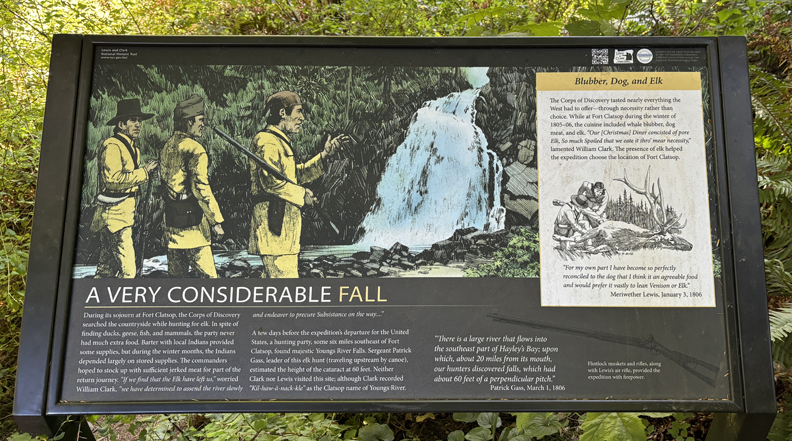
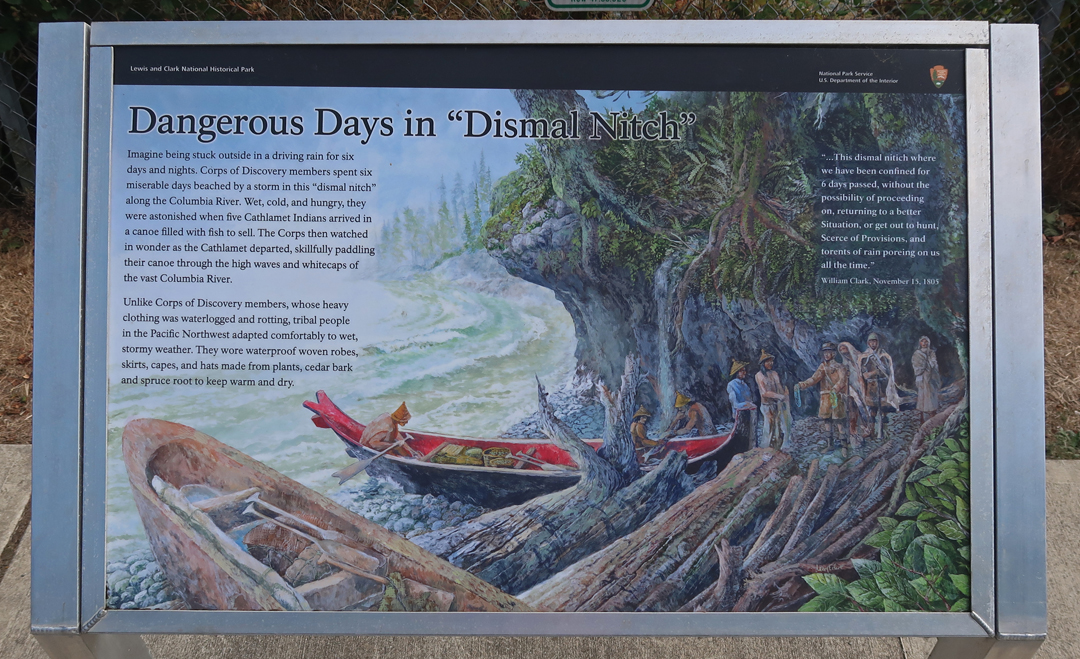
Returned home, changed, packed, dropped Bennie and Greta off at doggy care and drove to Astoria OR. Our first stop was at Young’s River Falls Park, a location on the Lewis and Clark National Historic Trail. The Corp of Discovery spent the winter of 1804-1805 nearby at Fort Clatsop.
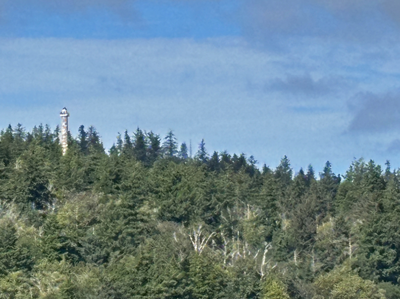
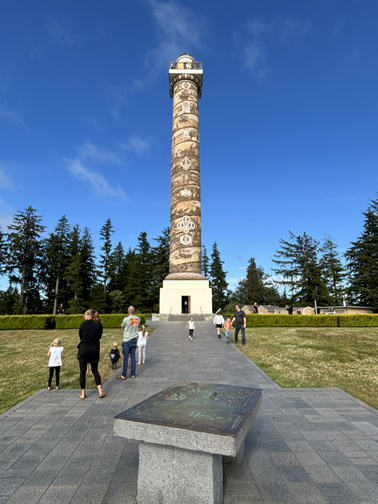
Continued into Astoria and drove up to the impressive Astoria Column dedicated in 1926.
Vincent Astor, son of John Jacob Astor, and the Great Northern Railroad paid for the land and construction. The city (10K population today), named for Astor’s fur trading company, built the access road. The column is 125ft high with 164 steps. The painted relief scrolling up the column covers Astoria’s history from 1792 until the arrival of the railroad in 1818. A fun tradition is to fly a small wooden glider plane off the top of the column. They sell them at the Visitor Center for $1.
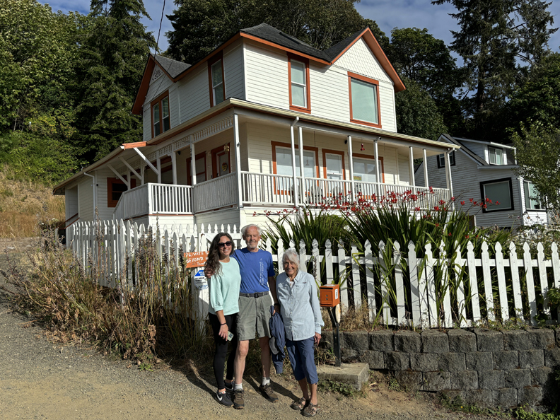
Kate wanted to see two more sites. First the house from the 1985 movie “Goonies.”
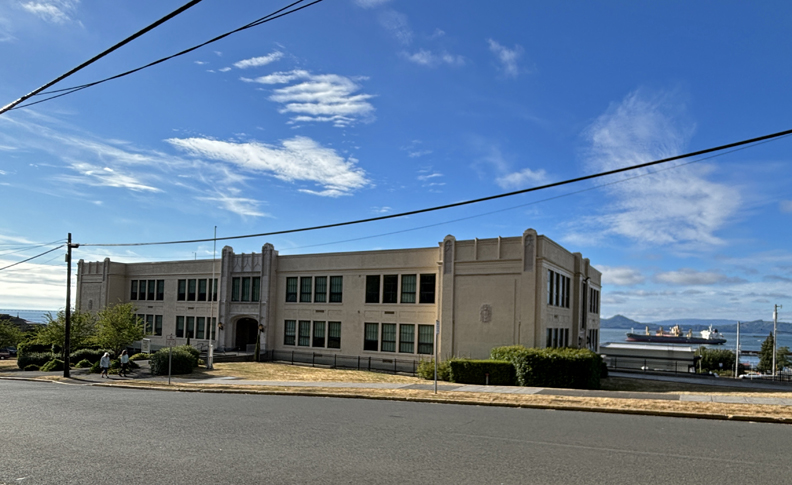
And the John Jacob Astor Elementary School, which was the setting for the 1990 movie Kindergarten Cop with Arnold Schwarzenegger, which was only three blocks from the Goonies house.
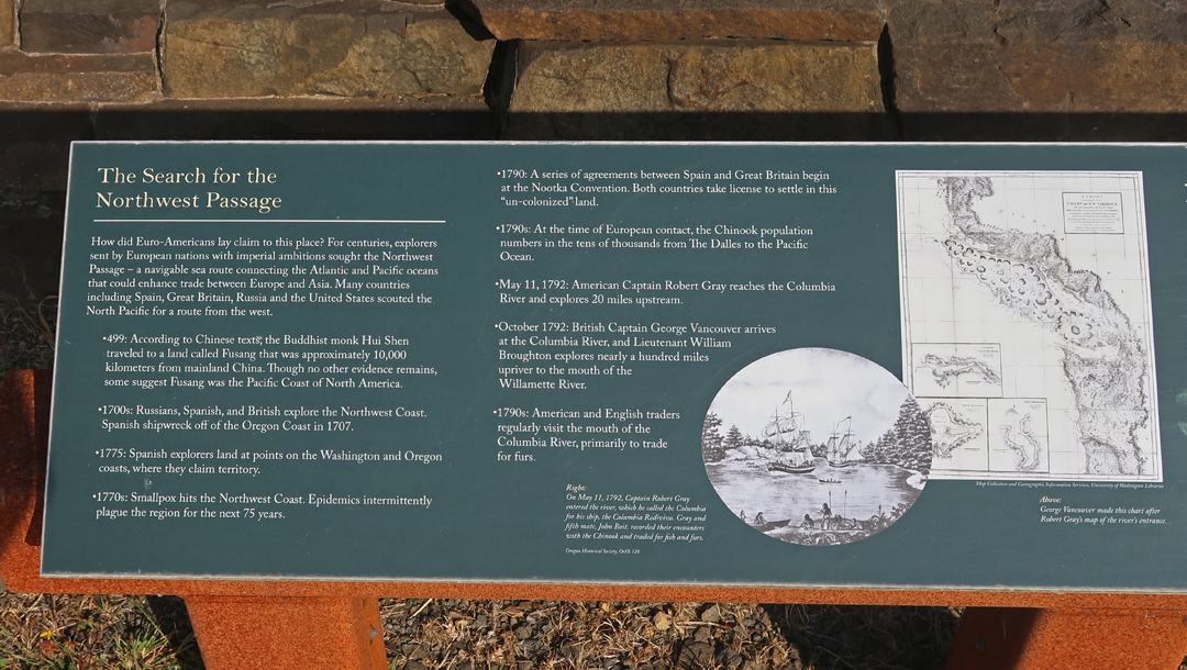
Fish & Chips at the Rogue Pier 39 Public House, put bags in our room at the Holiday Inn Express, and then walked along the waterfront. Coast Guard ship passing under the bridge to WA – going out to the Pacific Ocean.
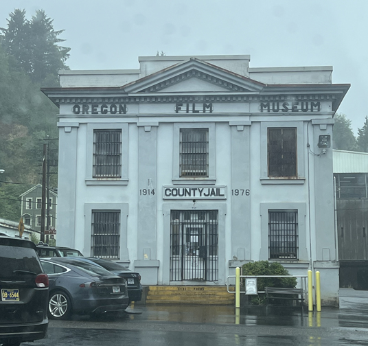
7/29 – Our first stop was the Oregon Film Museum, which is in the former city jail.
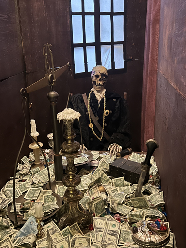
It was used in the Goonies movie and has several Goonie movie displays.
Made a short video clip
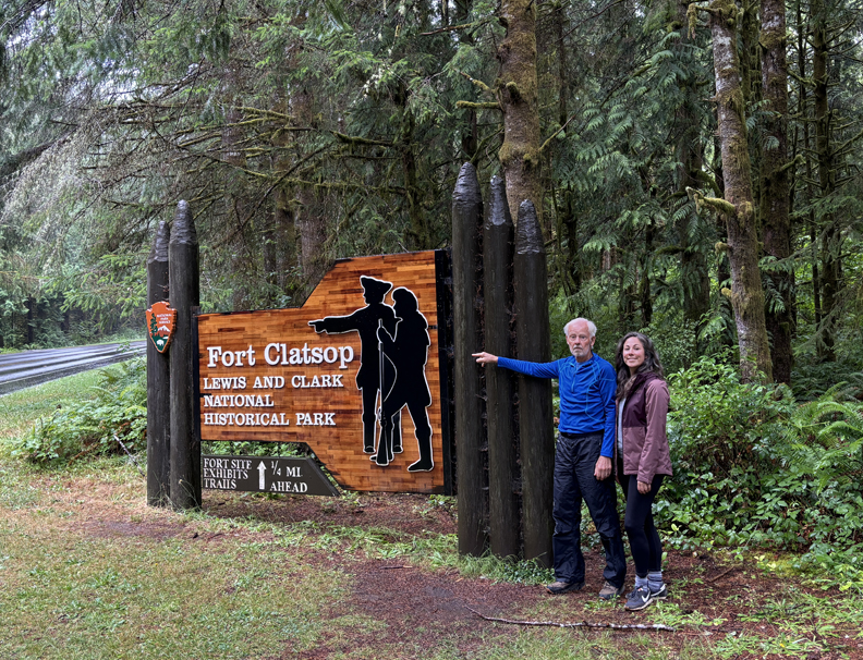
The next stop was the Lewis and Clark National Historical Park.
See Blog entry for October 2022 for description of previous visit to Lewis and Clark NHP.
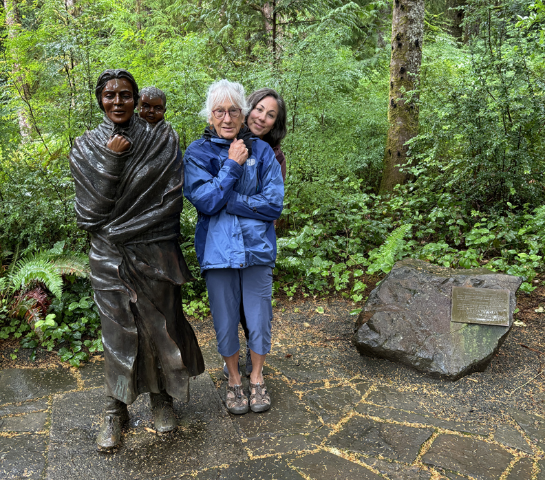
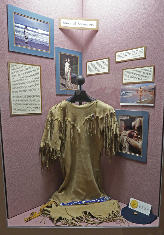
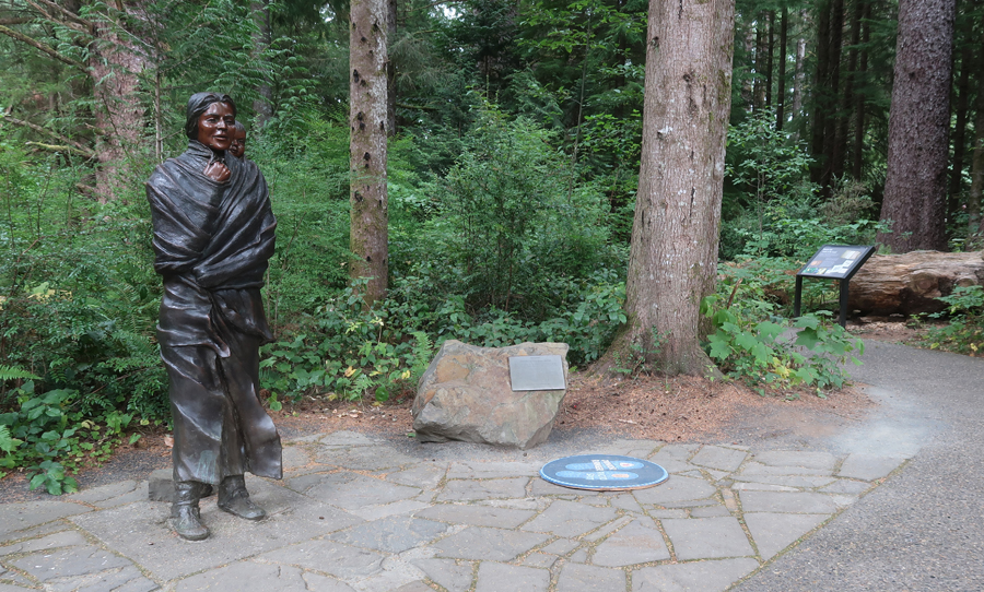
Sacajawea and son Pompey – Helen and daughter Kate.
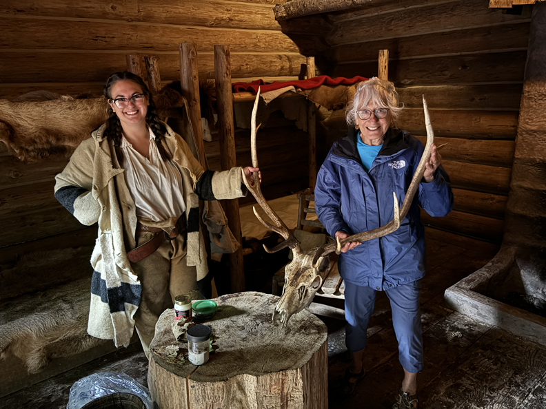
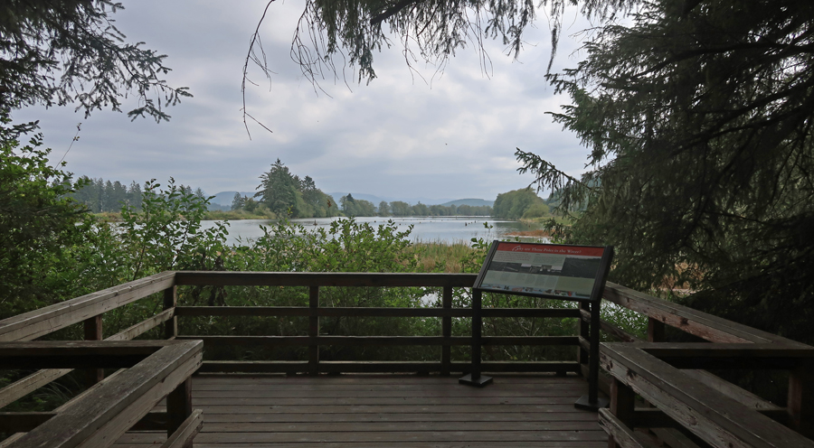
Ranger Program – Native American description of life at Fort Clatsop
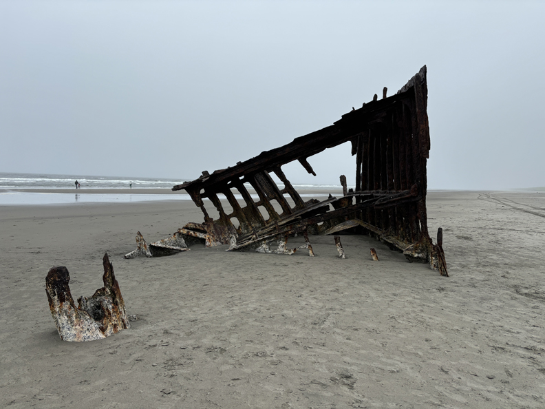
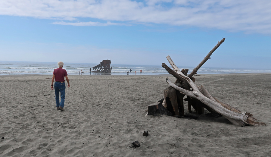
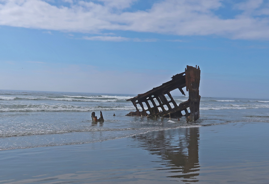
It was a short drive to Fort Stevens SP to see what is left of the Peter Iredale Shipwreck –
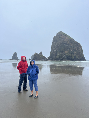
Next, a beach walk at Cannon Beach – Haystack Rock
Continued south down the coast highway (101) to Short Sand Beach
Returning to car –
Stayed in a VRBO apartment, with a fifties musical theme, in Rockaway Beach
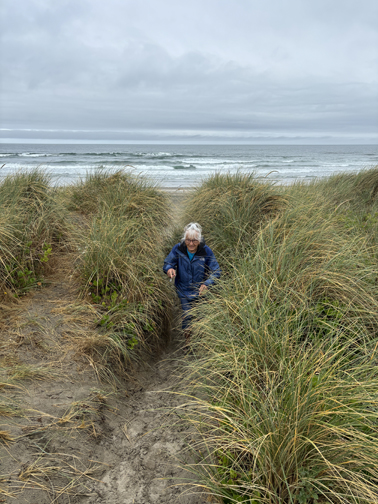
7/30 – bought coffee and scones near our VRBO apartment and then did a stroll on the beach.
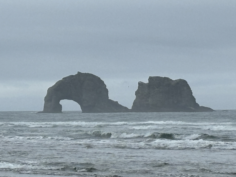
Twin Rocks
Returning to car
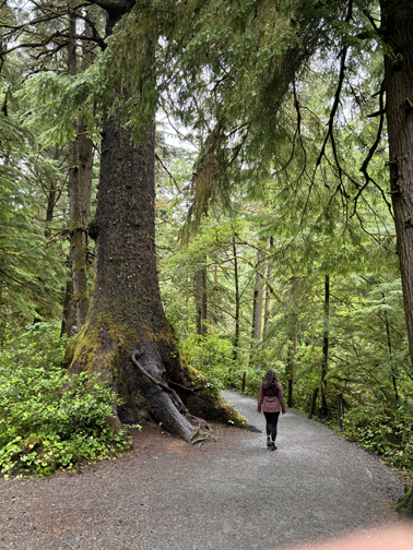
Outside of town, did a short hike to a large old growth Western Red Cedar in the Rockway Big Tree Conservation Area, which was paid for by a transient lodging tax in Rockaway Beach.
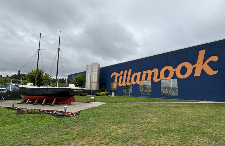
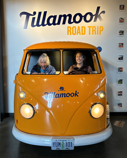
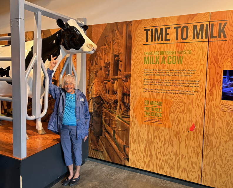
Continued on to Tillamook OR and the Tillamook Cheese Factory. In the early 1900s local dairy farmers formed a cooperative and built a ship, the “Morning Star,” to carry their products to Portland.
In 2018, the Tillamook County Creamery Association opened a new factory where they make a wide variety of cheese products. We did the self-guided factory tour and then ate lunch – Tillamook Classic Cheddar, Double Cheddar Grilled Cheese, and Summer Blues Salad. It took about 1.5hrs to get back to Portland and pick up the dogs.
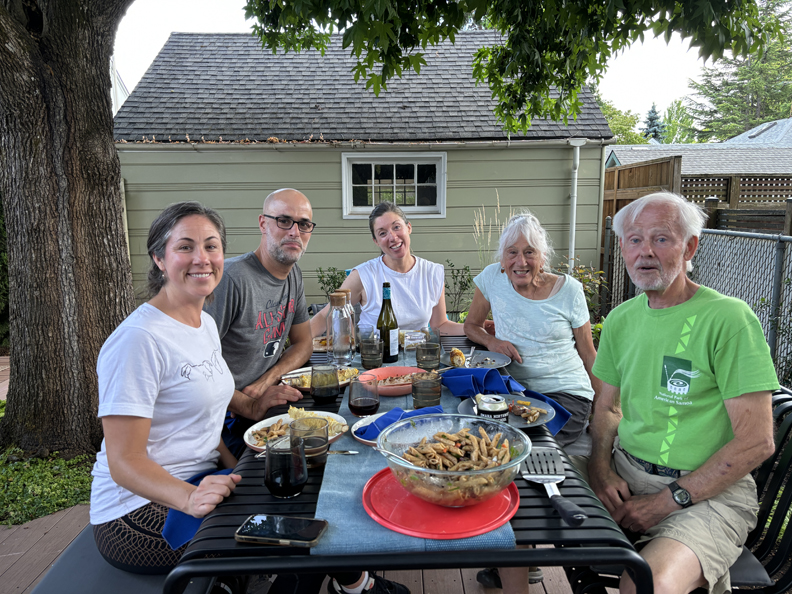
7/31– 8/4 – continued work on the house and grounds, including painting the basement, which had incurred water damage earlier in the year. Next door neighbors Izak, Rachel, and son James had us over for a delicious grilled dinner.
8/5 M – dropped Helen off at the Portland Airport at 5:45am. Her flight flew east over Ohio to Washington DC’s Dulles Airport (in Virginia). After a three-hour layover, she flew back west to Dayton OH – that’s what happens when you use Reward Pts!
Meanwhile, I drove to Spalding ID and the Nez Perce National Historical Park.
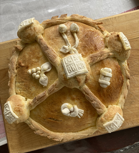
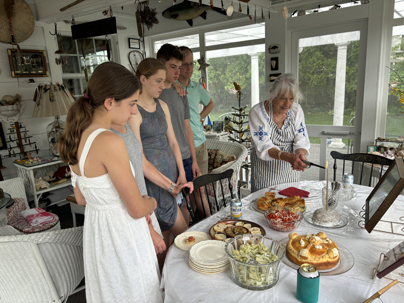
5/6 – Slava (Serbian Saint’s Day), St George is the patron saint for Helen’s family. A Kolach (sweet bread cake) is made and decorated with four apples on perimeter holding scripture passages, center one reads “Christ is Risen” in Cyrillic. Grapes and Barrel of Wine for blood of Christ, bird of peace, and cherries for health.
Candles are lit for those who have passed as well as the living.
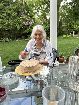
Serbian Tort for dessert!
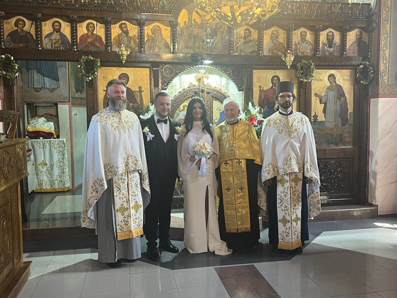
Serbian Trip to attend Wedding
5/15-5/25
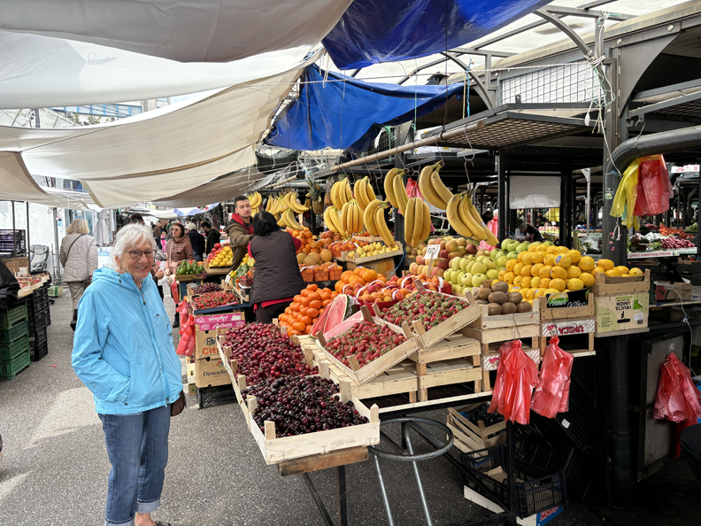
Belgrade Market – Helen bought and traded for carpets and purchased other crafts.
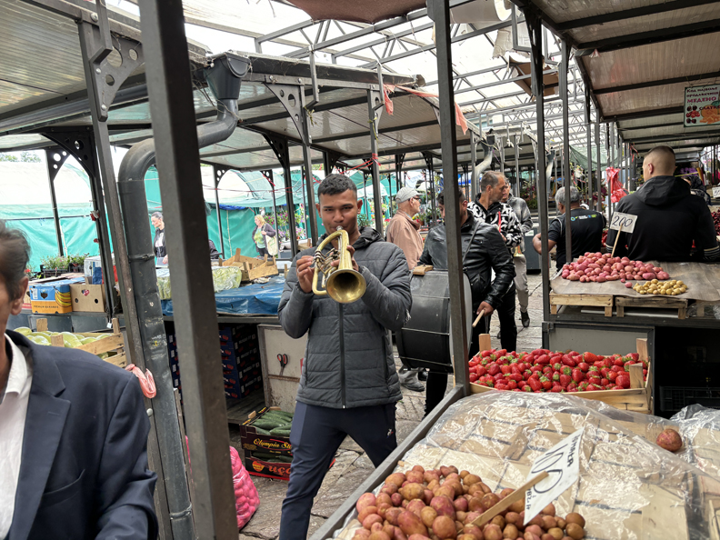
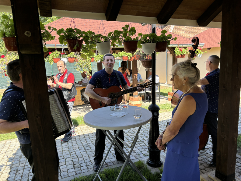
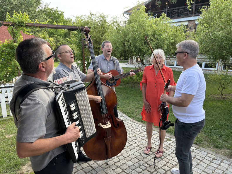
Gypsy band looking for tips
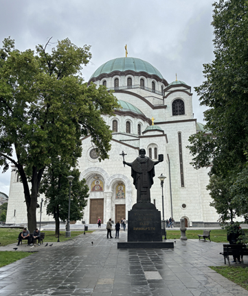
Newly restored St Sava Orthodox Cathedral
St Sava is the patron saint of Serbia
We discovered that Helen’s grandmother’s and mother’s gravestone and base had collapsed. We arranged for it to be rebuilt and paid the cemetery for one hundred more years of “rent.” If plots are not paid for, the remains will be removed to a mass grade and the plot sold.
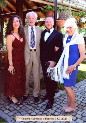
Three-day wedding of Helen’s cousin Zoran’s son in Velika Plana. First day, dinner/drinks/dancing at groom’s family restaurant and event center on the Green Morava River – Dragan, Biljana, Nikola, Ivana, Kate, Damir, and Helen.
5/18 Sa – Wedding events started at the events center, more food, drinks, music, socializing.
Local band
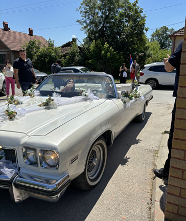
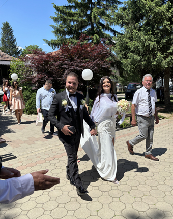
The groom (Nikolas) was then taken to pay the dowery to his fiancé’s family and pick up the bride.
Arriving to bands playing (hired and Gypsy)
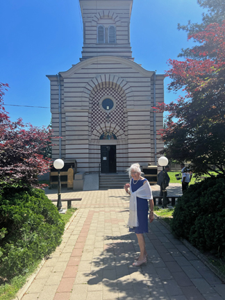
Serbian Orthodox Church
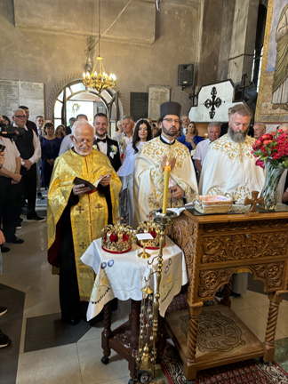
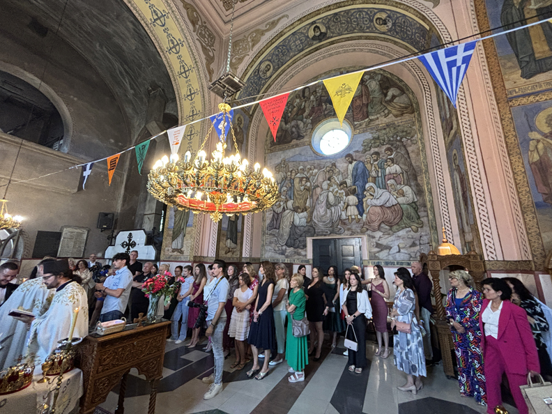
1.5hr wedding
Men and women standing on opposite sides
Hands bound by linen and crowns placed on heads.
Celebrants
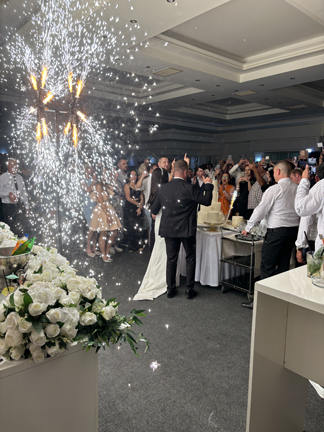
Eight-hour reception (~300 people) with constant food, drinks, music, and dancing. Helen with parents Zoran and Dalfina
Kate and Helen
Cutting the cake, accompanied by fireworks –
Day after wedding, more food, drinks, music at family events center. Family members – Ivana, Kate, Daniele, Noah, Nikolas, Sonja, Zoran, Zoki, Dalfina, Ana, Ljsa, Helen, and Tom
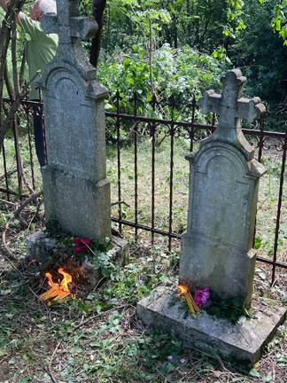
Trip to family (Helen’s mother’s grandmother’s) cemetery in Veliko Selo. Cleaned plot (1800s) and lit candles.
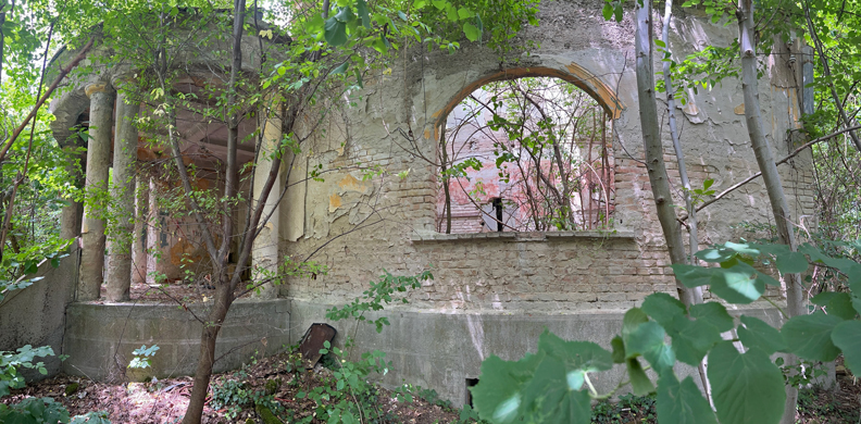
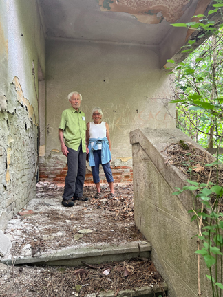
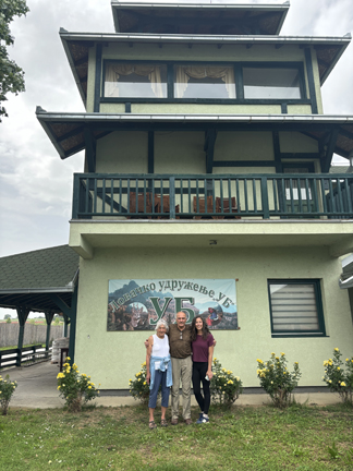
Trip to family (Helen’s father’s father’s) estate in Ub. It was taken by communists after WW II, split up, with the house and surrounding land turned into an agricultural school. The house is now in shambles.
Many of the farm buildings were sold and are still operational.
Some of the land was purchased and is a pheasant farm with lodge, dog breeding kennels, and elite clients.
Lodge interior
Serbian lunch before returning to Belgrade.
Farewell dinner on the Sava River with Maja who helped and entertained us while in Belgrade.
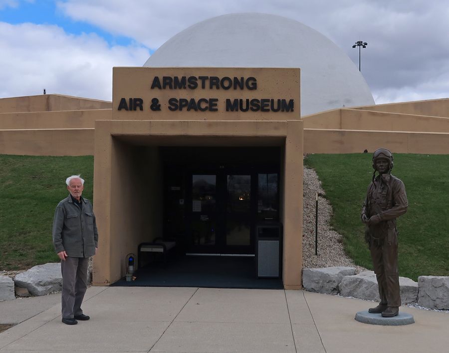
3/17 Su – St Patrick’s Day! Early afternoon took back roads (1.5hrs), drove by debris from a tornado that hit Logan County a few days earlier, to Wapakoneta OH and the Armstrong Air & Space Museum (just off I-75). It is a site in the National Aviation Heritage Area, as well as a site on the Aviation Trail. I had been here in August 2019, see the end of the Blog entry for that month. However, I was too late to tour the museum. Today, we did that –
There have been 26 astronauts from Ohio, making it the fourth-largest producer of astronauts in the U.S.
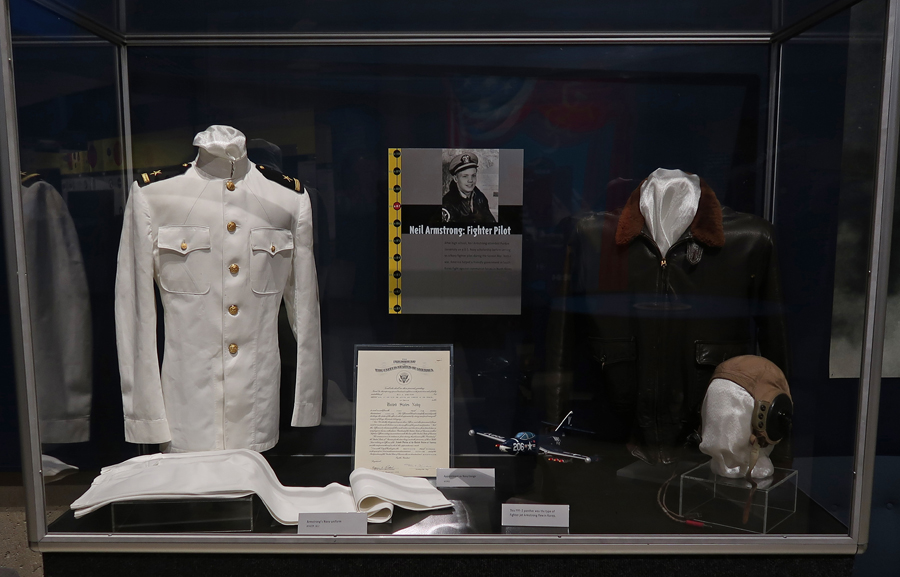
Neil Armstrong was a Navy Fighter Pilot during the Korean War.
Armstrong joined the NASA Astronaut Corps in 1962 and made his first spaceflight in 1966 as command pilot of Gemini VIII. On this mission, they made the world’s first docking with another satellite in orbit. This is the Gemini VIII space capsule –
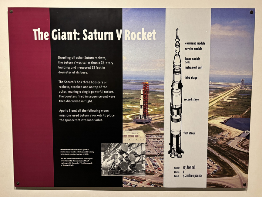
The 36-story Saturn Rocket was used to put Apollo 8 and all following moon missions into lunar orbit.
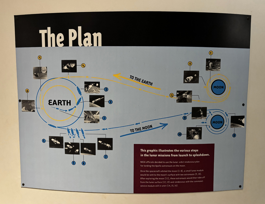
On July 20, 1969, Armstrong and Apollo 11 Lunar Module pilot Buzz Aldrin became the first people to land on the Moon! The next day they spent two and a half hours outside the Lunar Module Eagle, while Michael Collins remained in lunar orbit in the Apollo 11 Command Module Columbia. The Plan –
When stepping onto the Moon, Armstrong said “That’s one small step for man, one giant leap for mankind.”
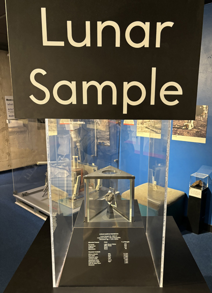
Lunar “Rock”
Neil Armstrong’s boyhood home in Wapakoneta OH is a half mile from the museum.
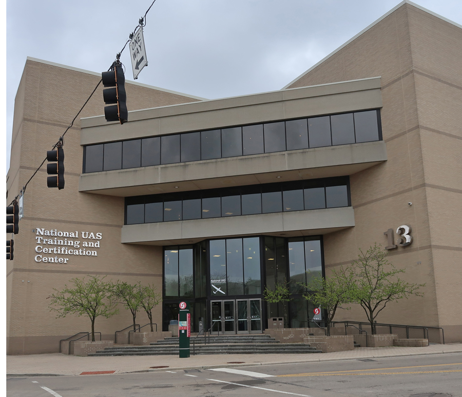
3/18 M – Drove to downtown Dayton OH and Sinclair Community College to visit the National UAS (Unmanned Aerial Systems) Training and Certification Center, which is a site on the Aviation Trail.
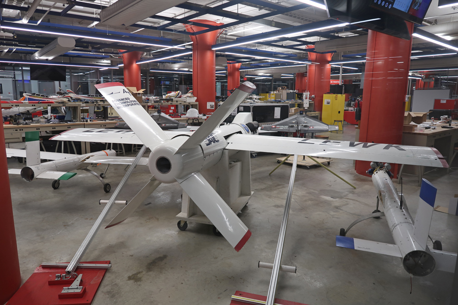
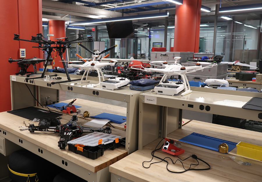
Sinclair has extensive UAS “Drone” facilities to enable advanced training and support of applied research activities.
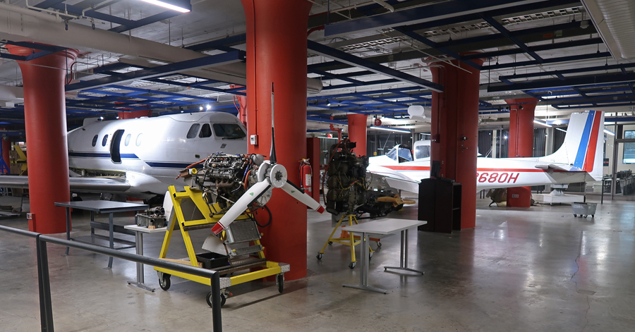
They also have manned aviation programs to support the growing UAS industry.
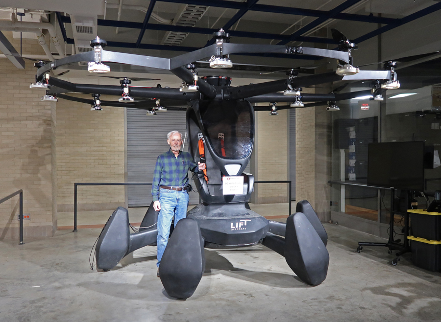
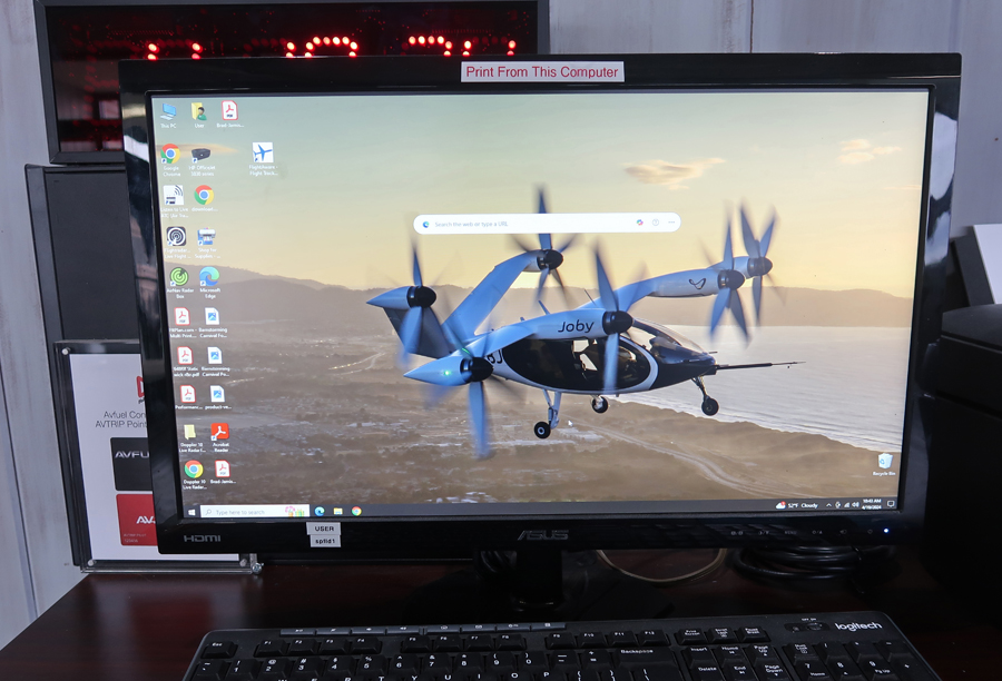
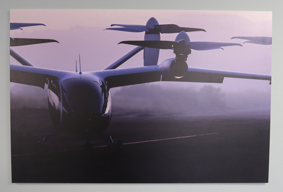
One example is the LIFT prototype vehicle for individual vertical takeoff flight. Electric Vertical Take-Off Ride Sharing Aerial Vehicles (Taxis) will be built by Joby Aviation in a production facility at the Dayton Airport. Joby received Part 135 Air Carrier Certificate, which allows Joby to operate a commercial air taxi service, in 2022. It has partnerships with the USAF, Uber, and Delta.
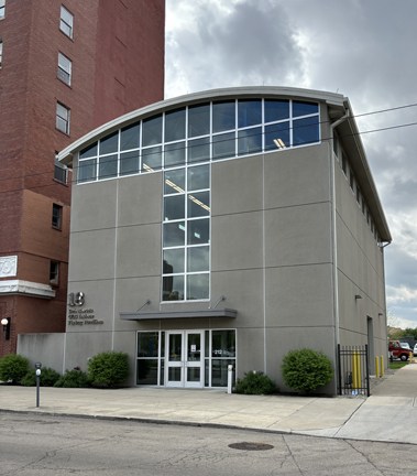
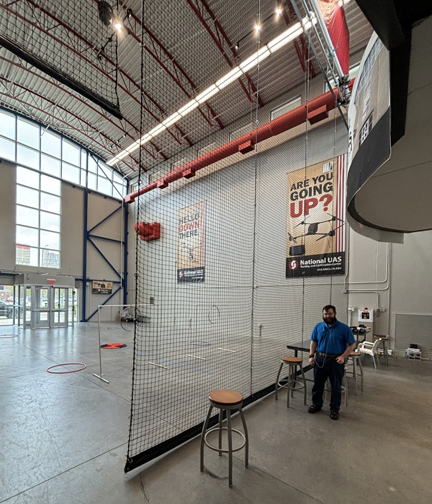
Building 18, is the only UAS Indoor Flying Pavilion in the country. It has 3,200 sq ft of flying space and is 40 ft high.
I returned to Sinclair CC on April 17, 2024, for a tour of the Flying Pavilion with Tech Sam.
The World’s First Custom Built UAS Indoor Flying Pavilion
Sam also gave me a demonstration of the wind tunnel used for testing drone components.
We finished with a tour of the laboratory/teaching facilities.
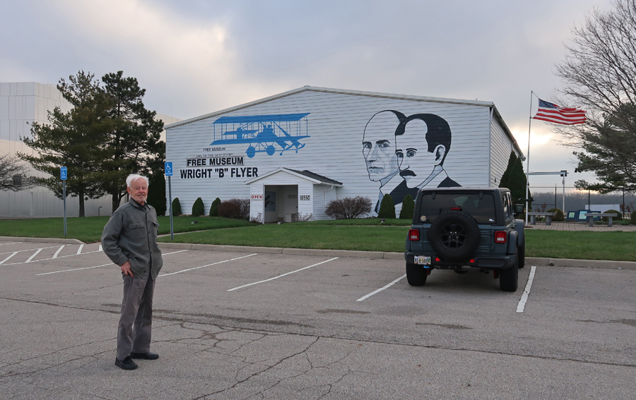
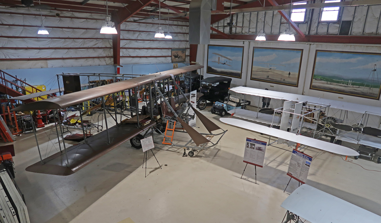
3/23 Sa – picked up John at 8am and headed for the ‘Wright “B” Flyer’ located at the Dayton Wright Brothers Airport in Miamisburg OH, just south of Dayton. It is a historic site in the National Aviation Heritage Area and is also on the Aviation Trail.
The Wright “B” Flyer, on the left, is a look-alike of the world’s first mass-produced airplanes (1910-1911) made in the Wright Company factory in Dayton OH. The “Flyer” on the right is one that is used for scenic flights. The Wright “B” Flyer is also flyable, but insurance costs are a barrier to using it for that purpose at this time.
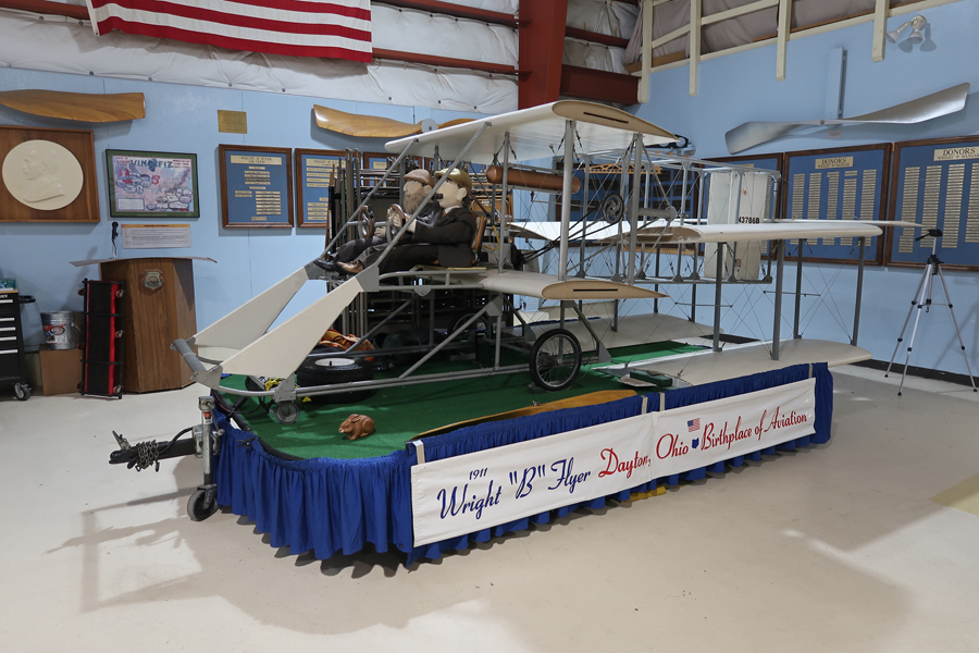
This float is used in parades to promote the ‘Wright ”B” Flyer’ and the National Aviation Heritage Area.
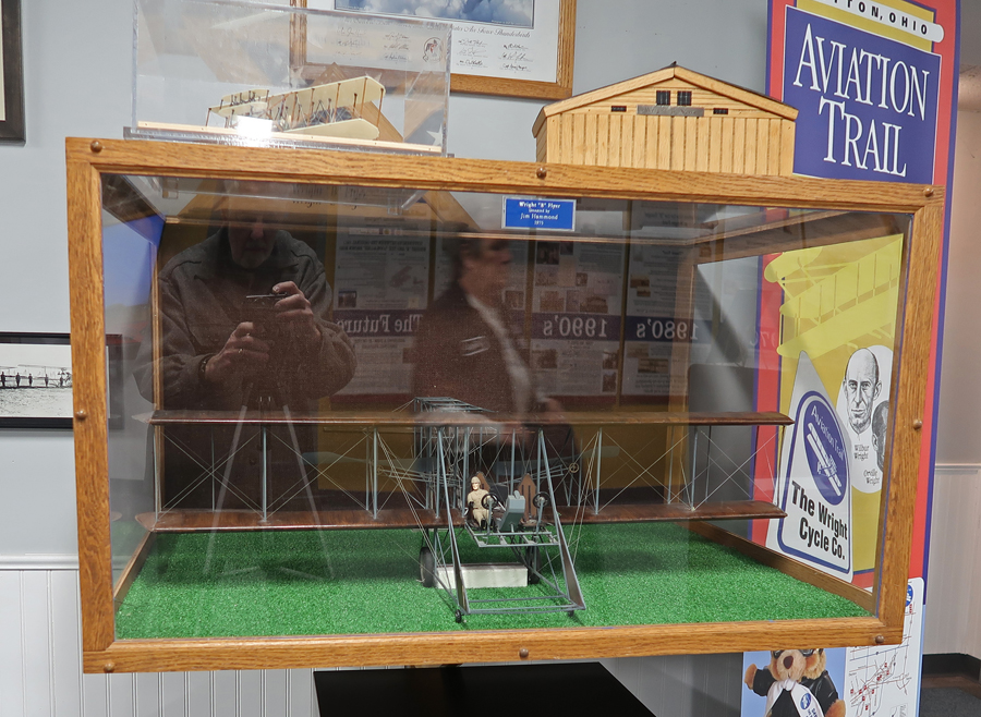
Model – note the Aviation Trail sign.
An hours’ drive took us to Batavia OH, on the east side of Cincinnati, and the Tri-State Warbird Museum, which is another site on the Aviation Trail.
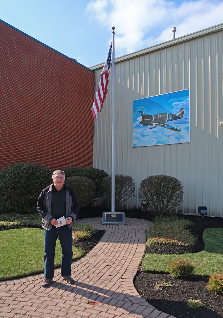
Their mission is to preserve the aircraft of World War II. It has nine significant WW II aircraft and plans to add more. John at entrance with mural of Curtis P-40M Kittyhawk III.
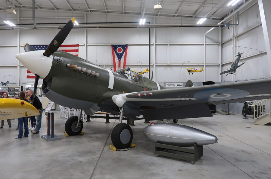
P-40s were important fighters during the early stages of WW II.
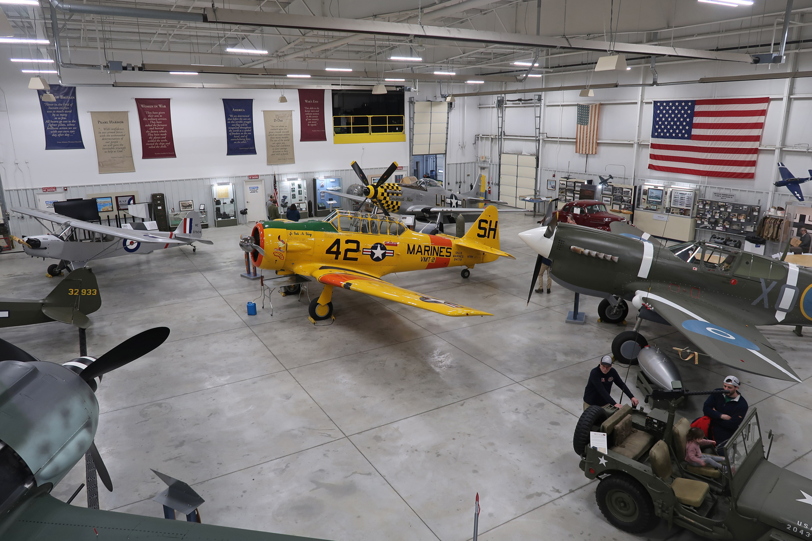
The museum is well-funded and staffed, immaculate, and all planes are flyable and used in air shows around the country. Note the yellow North American AT-6D Texan in the center of Hangar #1.
Fock-Wulf FW 190 F8/R1, was one of Germany’s two main fighters during WW II.
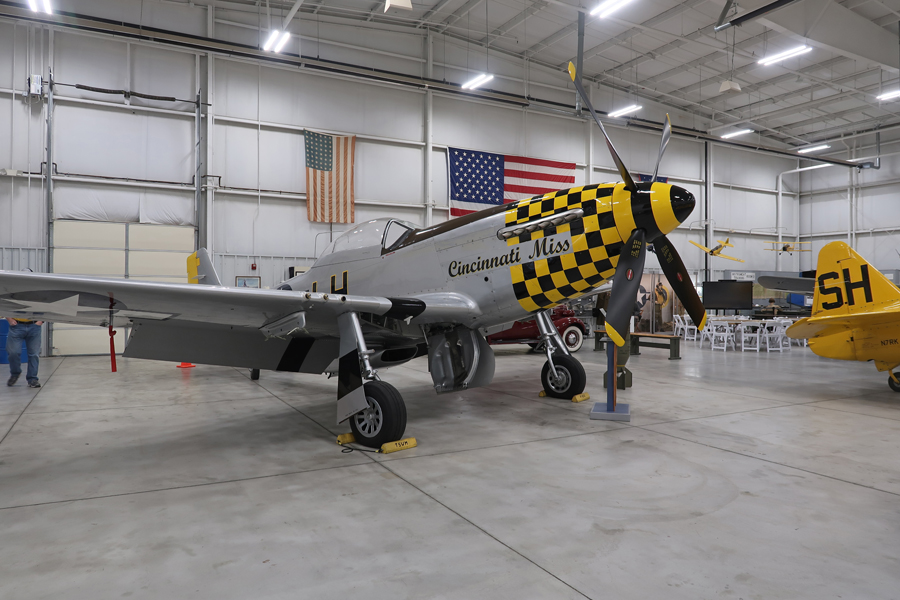
North American P-51 Mustang, they served in every combat zone during WW II.
General Motors TBM-3 Avenger Navy torpedo bomber, note the foldable wings to reduce the space needed for storage on aircraft carriers –
Hangar #2 has a B-25 Mitchell, the plane that was used in the famous “Doolittle Raid” on Tokyo (April 18, 1942), four months after Pearl Harbor. Sixteen B-25Bs took off from the aircraft carrier USS Hornet in the Pacific Ocean (which they were not designed to do), and bombed Tokyo providing a large boost in American morale.
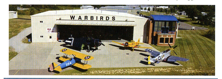
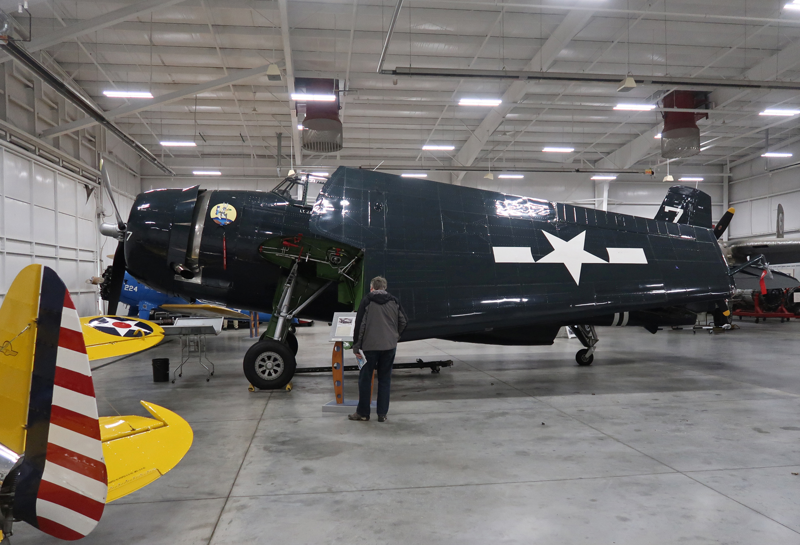
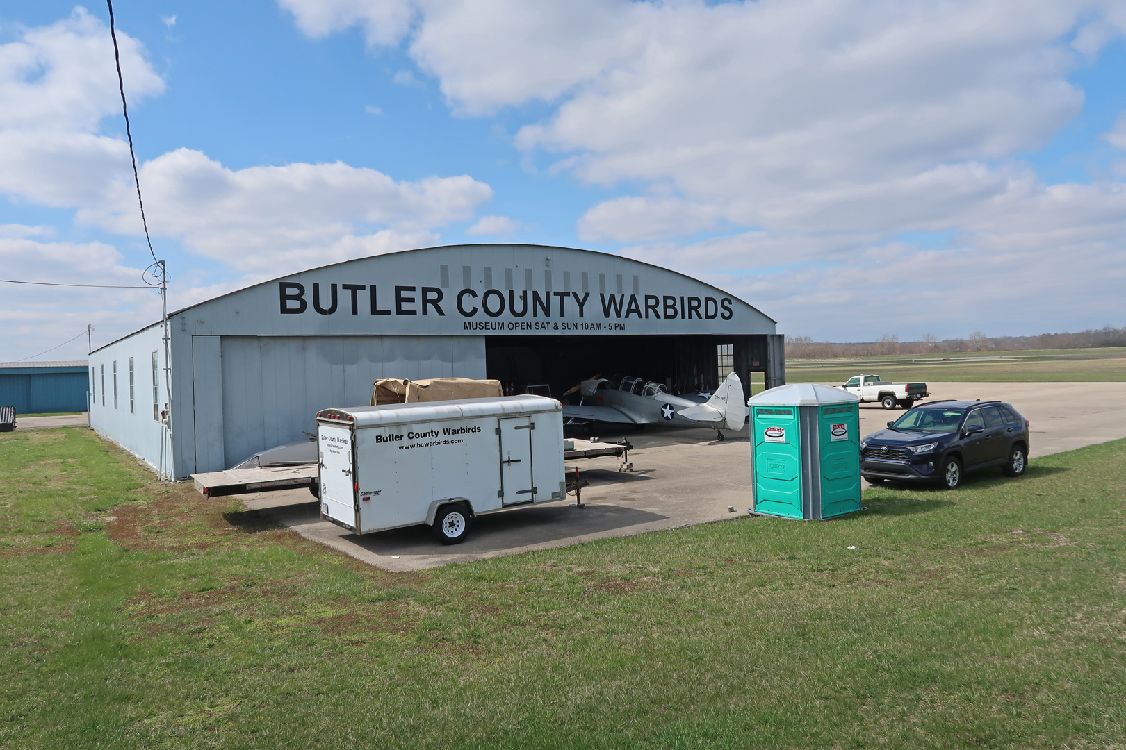
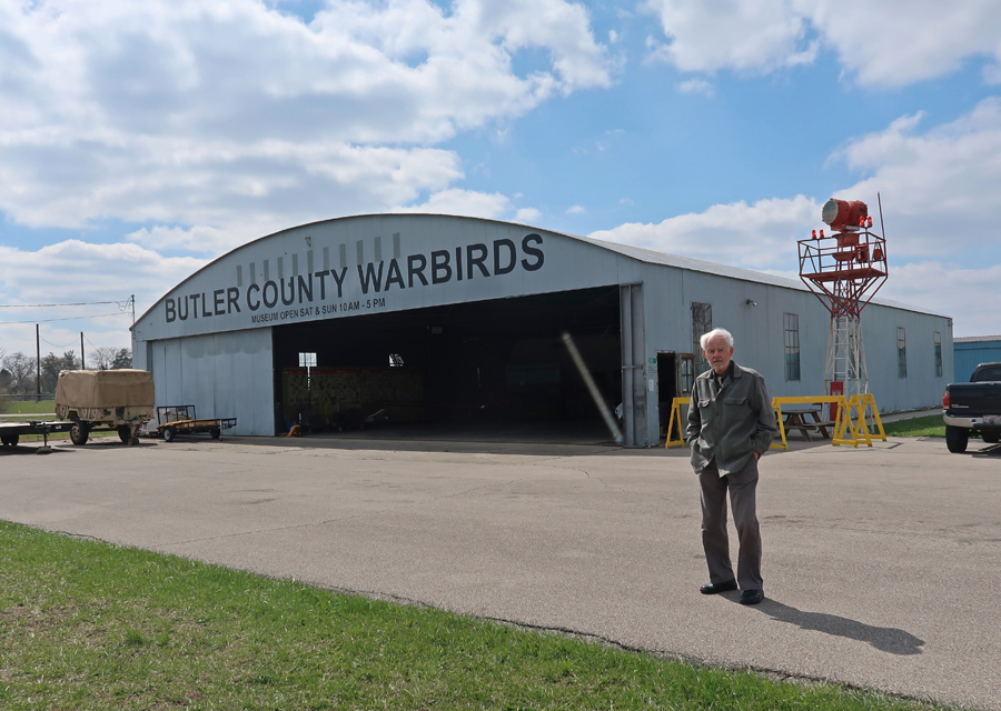
Our last stop was the Middletown OH Regional Airport, the location of Butler County Warbirds Inc., my 17th and final Aviation Trail site.
They have a 1943 Fairchild PT-19, this was the primary trainer for the Army Air Corps during World War II. The plane is used for scenic flights.
There is a WW II Era Airport Beacon located next to the hangar.
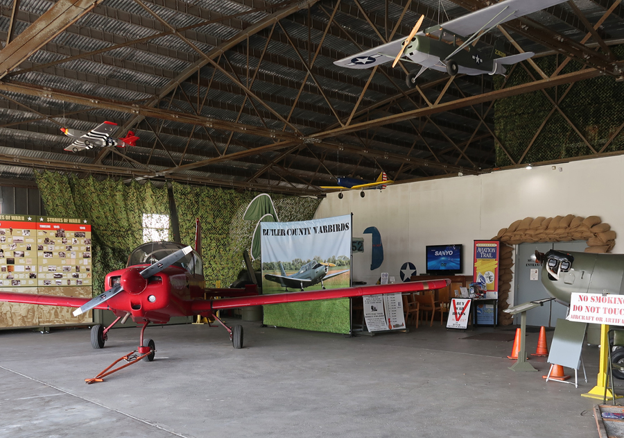
Inside of Hangar –
Door surrounded by sandbags leads to displays of World War II items and memorabilia.
Home at 4pm
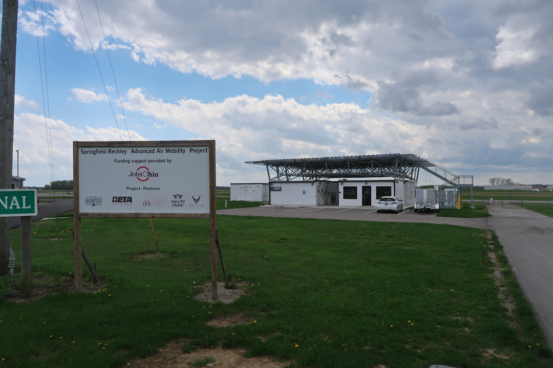
4/17/2024 – After doing a second tour of the UAS facilities at Sinclair CC, I drove to the Springfield-Beckley Municipal Airport (SGH). In 2006 the Ohio Air National Guard base lost its F-16 training mission there but was assigned an intelligence mission flying MQ-1 Predator drones. The Predators are flown remotely and controlled from SGH.
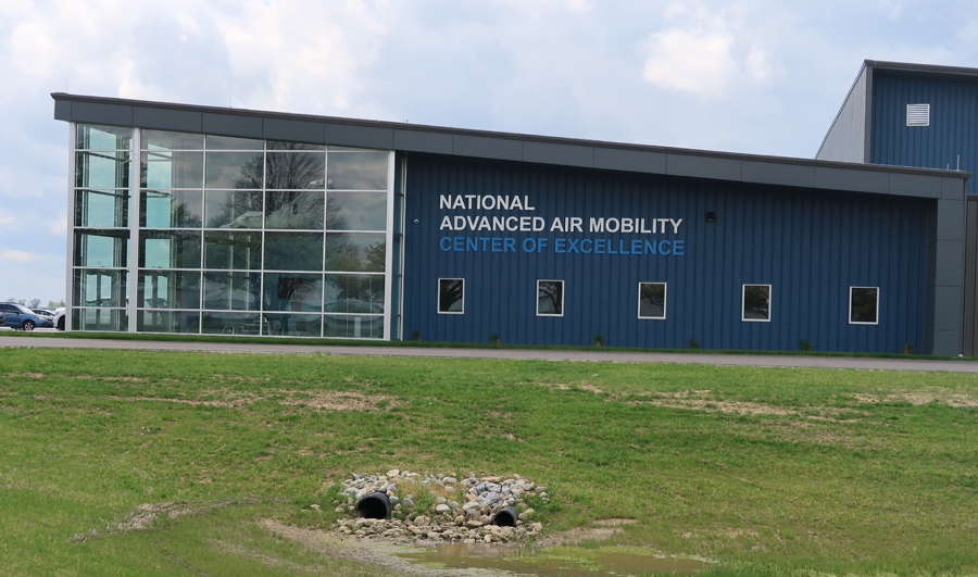
Starting in 2019, a National, State, Local, Air Force, and Industry effort led to the establishment of the National Advanced Air Mobility (AAM) Center for Excellence at the airport.
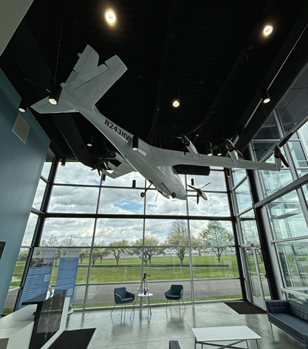
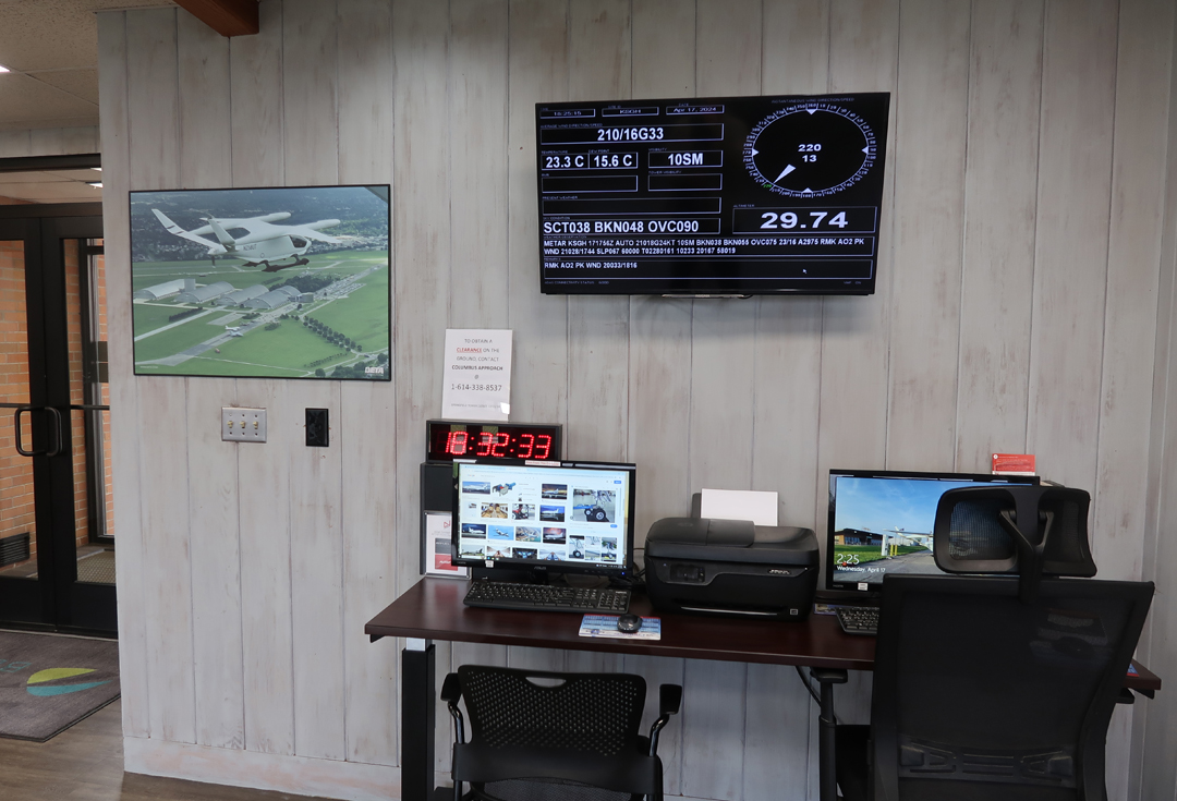
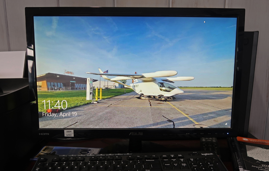
Lobby – has the Kittyhawk electric plane owned by Larry Page co-founder of Google.
SGH – “An Innovative Aerospace Technology Hub”
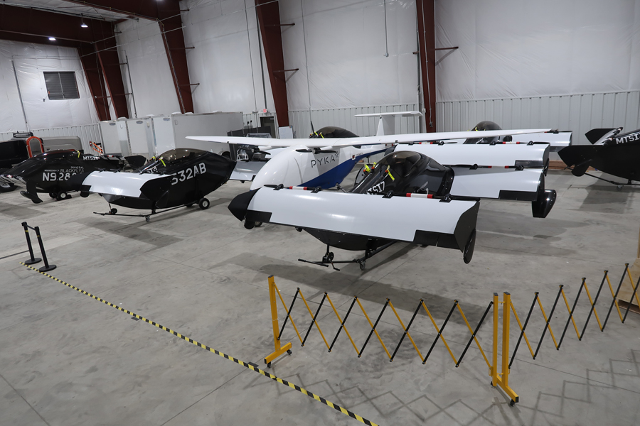
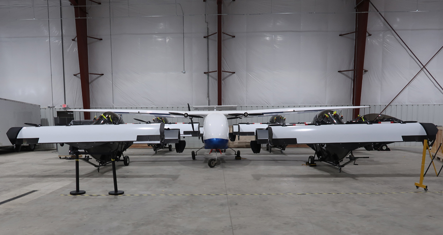
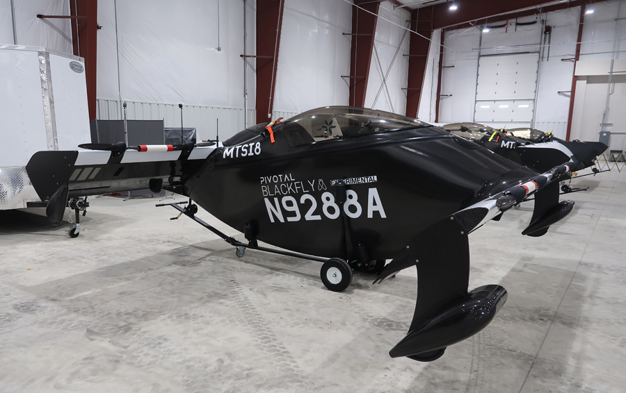
Hangar currently houses experimental aircraft owned by private industry companies such as Joby. They also have a flight simulator housed in a semi-trailer truck.
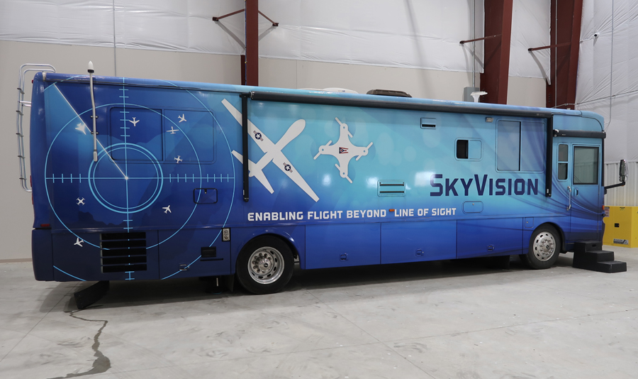
A “Sky Vision Bus” provides radar to control unmanned aircraft in a designated 225-square-mile airspace above the airport.
Joby Flight Simulator –
“Entities Using the Airfield for Testing & Flights include: BETA; Joby; Kittyhawk; LIFT Aircraft; Air Force Research Labs; OH Dept. of Transportation; Ohio UAS Center; SelectTech GeoSpatial; local & state universities, multiple UAS companies & start-ups; multiple eVTOL companies & start-ups; equipment manufacturers & suppliers related to UAS & eVTOL markets.” A vertical take-off and landing platform has been constructed for the experimental aircraft as well as an electric charging station.
This is currently one of only two aircraft electric charging stations in Ohio.
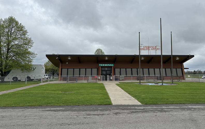
SGH Terminal –
First there were piston aircraft, then there was jet propulsion, and now an electric aircraft phase has begun. 2002 Ohio State Quarter –
2002 50 State Quarters Coin Ohio Uncirculated Reverse
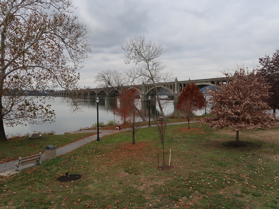
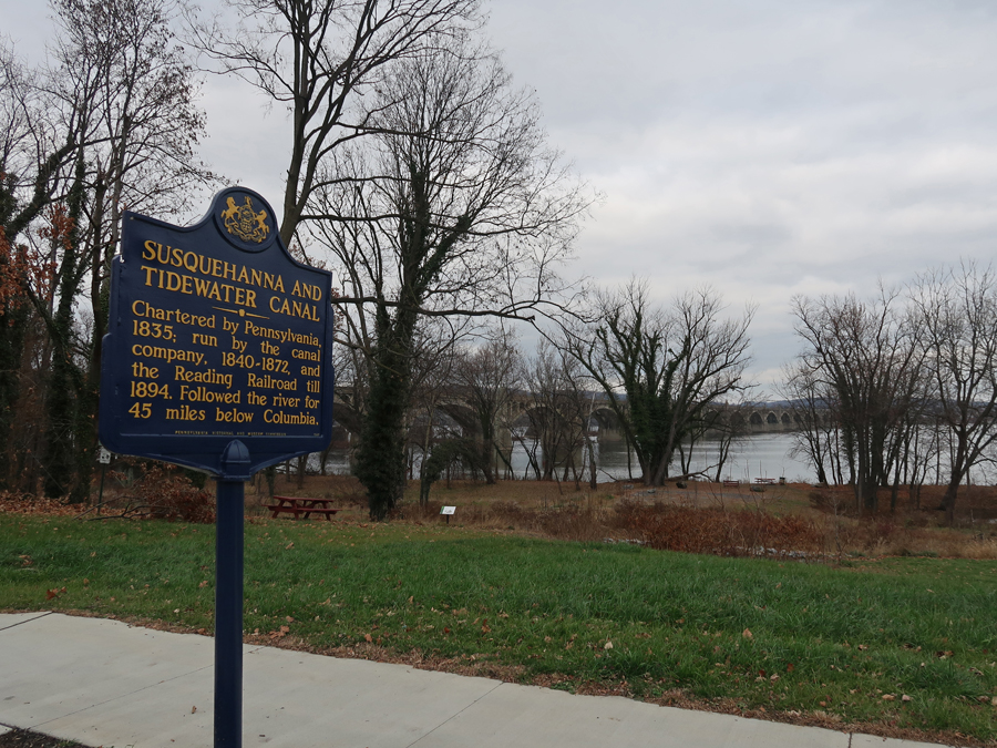
12/5 Tu – Left 6am and arrived at the Columbia Crossing River Trails Center on the Susquehanna River at 2pm. It is one of two Visitor Centers in the Susquehanna National Heritage Area (NHA). There is a 14-mile paved, multiuse trail along the Susquehanna River. This marker describes the 1913 Lincoln Highway from NYC to San Francisco, that passes over the Veterans Memorial Bridge/Old US-30 Bridge.
The remains of the Susquehanna and Tidewater Canal, which runs along the river.
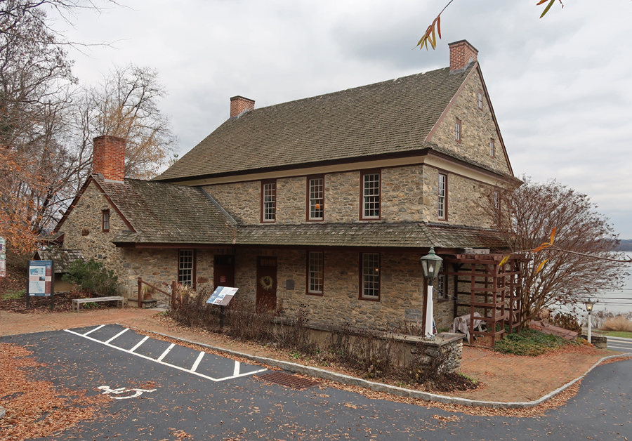
It took about 20-min to drive across the bridge to the Zimmerman Center for Heritage on the west side of the river. It is Pennsylvania’s official visitor contact and passport station for the Captain John Smith Chesapeake NHT.
It is a 1750s stone house built by Gen. Jacob Dritt, who fought in the Revolutionary War. It was renovated by the Zimmermans and donated to the NHA.
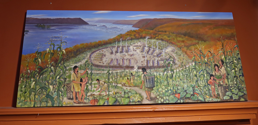
It tells the story of the area, beginning with the Susquehannock Indians who lived along the river.
We hiked up a hill on the Native Lands Heritage Trail to the site of the Susquehannock peoples’ last community. Note the settler’s cemetery in the right middle of the photo.
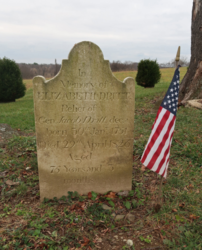
Grave marker for Elizabeth Dritt, Jacob’s wife. He drown in the Susquehanna River in 1817 when his boat capsized as he was trying to cross in winter.
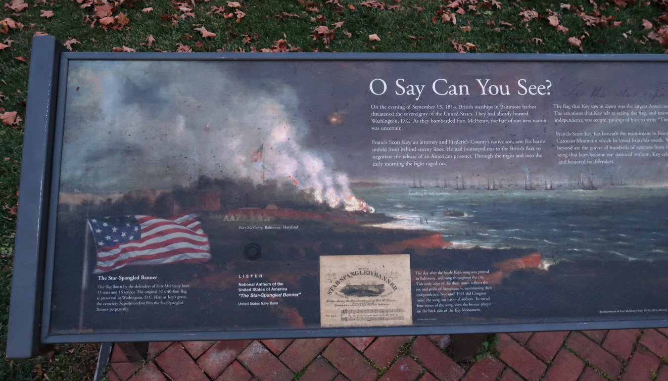
A 2-hr drive took us to Frederick MD and the grave/memorial for Francis Scott Key, the author of the Star-Spangled Banner – our National Anthem. We arrived at dusk, 15-min before it closed.
Arrived 8pm at Lillian’s home in Rockville MD. She had a surprise for us – dinner and a belated ice cream cake for my 80th birthday!
12/6 W –I left at 7:30am for the George Washington Memorial PKWY, which runs along the Potomac River in VA. The administrative center for sites along the PKWY is in Turkey Run Park. I found the door open when I arrived and was able to use the 32-stamps, related to sites along the PKWY, to stamp my sheet.
I then did the 1.5-mile Turkey Run Trail Loop, that includes a section of the Potomac Heritage National Historic Trail (NHT). The Claude Moore Colonial Farm, originally Turkey Run Farm, closed in 2018. The mission of Claude Moore Colonial Farm was to recreate the life of tenant farmers circa 1771. The majority of Virginians of that time period were tenant farmers who grew tobacco to pay their rent while growing food to eat. How this site will be used in the future is under review.
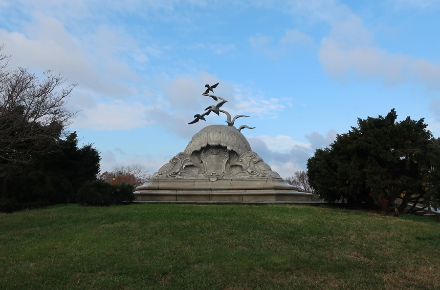
The GW PKWY was under construction and had lots of traffic. That made it difficult to access some of the sites along the Potomac River. My next stop was the Navy and Merchant Marine Memorial, which is located on Kendall Point near the LBJ Memorial Grove (see Blog for August 2021). I really like this “difficult to get to” memorial.
The 1922 cast aluminum memorial is dedicated to those Lost at Sea. “The seven seagulls sculpted on the monument represent the witnesses of sacrifice on all seven seas. Below the textured rocky surface of the water, the waves are swirling and crashing to portray the imminent dangers faced by seamen.”
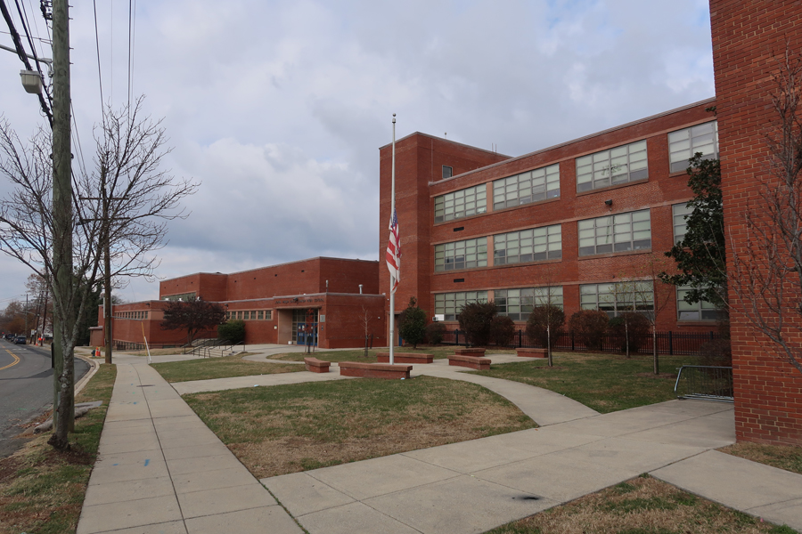
From there I proceeded to the John Philip Sousa Middle School in east DC (Affiliated with the Brown vs. Board of Education NHP in Topeka KS). It is a public school located in the city’s Fort Dupont neighborhood on the east side of the Anacostia River. In 1950, Sousa was one of several new DC schools for white children. Eleven African American junior high school students were taken on a field trip by Civil Rights activist Gardner Bishop, who requested admittance for the students to this school. They were denied and ordered to return to their grossly inadequate school. A suit was filed on their behalf in 1951, that suit became part of the Brown case in 1954. The U.S. Supreme Court ruled “segregation in the District of Columbia public schools…is a denial of the due process of law guaranteed by the Fifth Amendment…”
My next stop was the U.S. National Arboretum
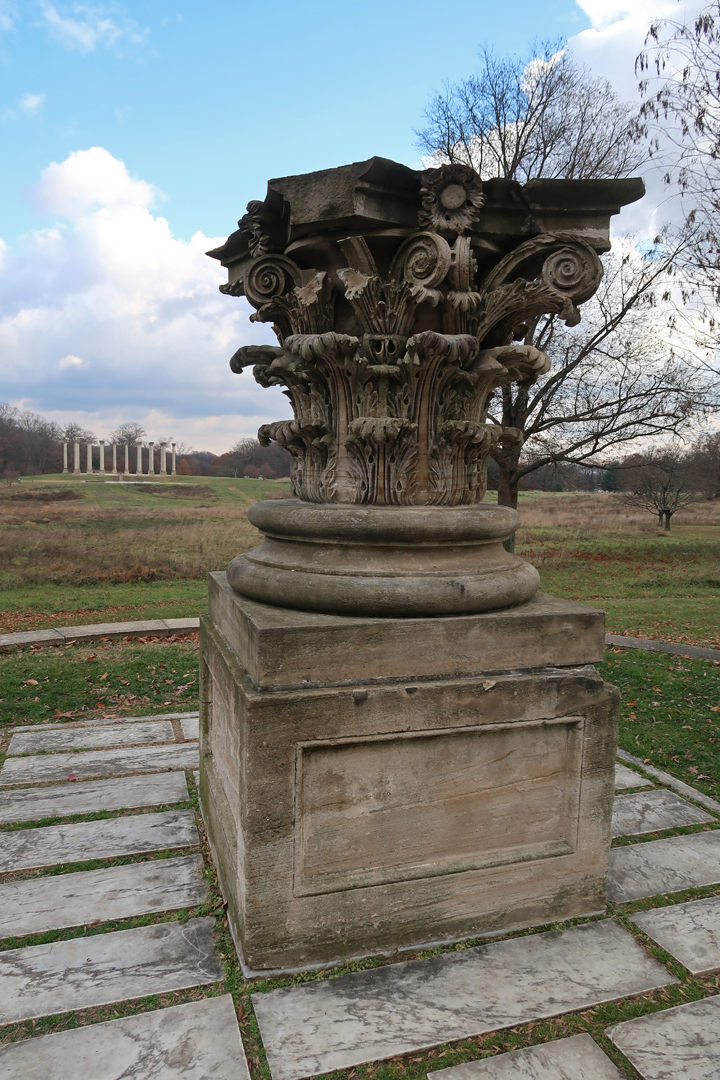
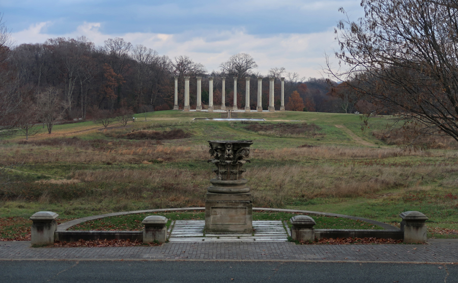
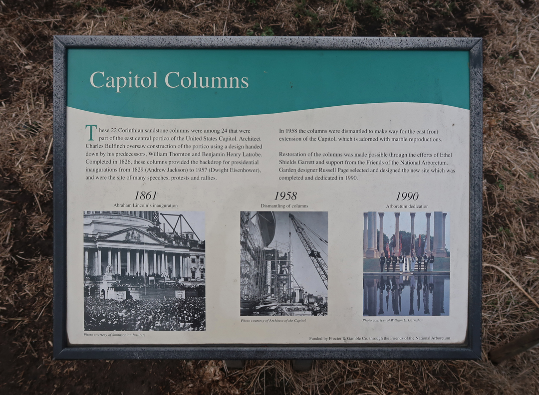
It is the location of the National Capitol Columns that once supported the East Portico of the Capitol. They were the backdrop for Presidential inaugurations from 1826-1958.
It is a striking display –
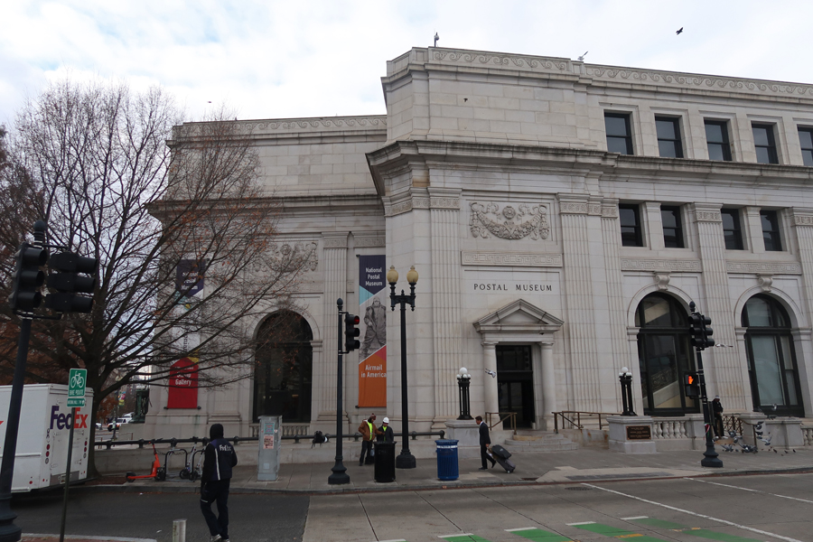
Onward and westward to central DC and the Smithsonian National Postal Museum, near the Capitol and across the street from Union Station.
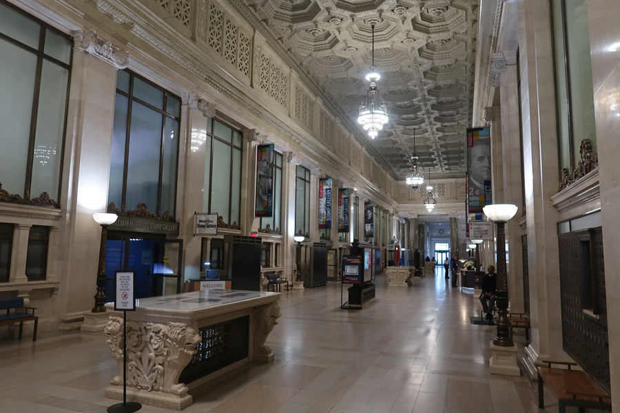
Though it opened in 1993, it was off my radar. I noticed it on a map when planning this trip and thought I would check it out. The National Stamp Salon of the museum houses hundreds of panels of U.S. stamps and is a philatelist’s dream.
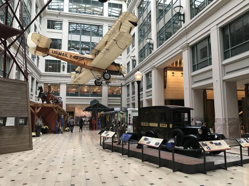
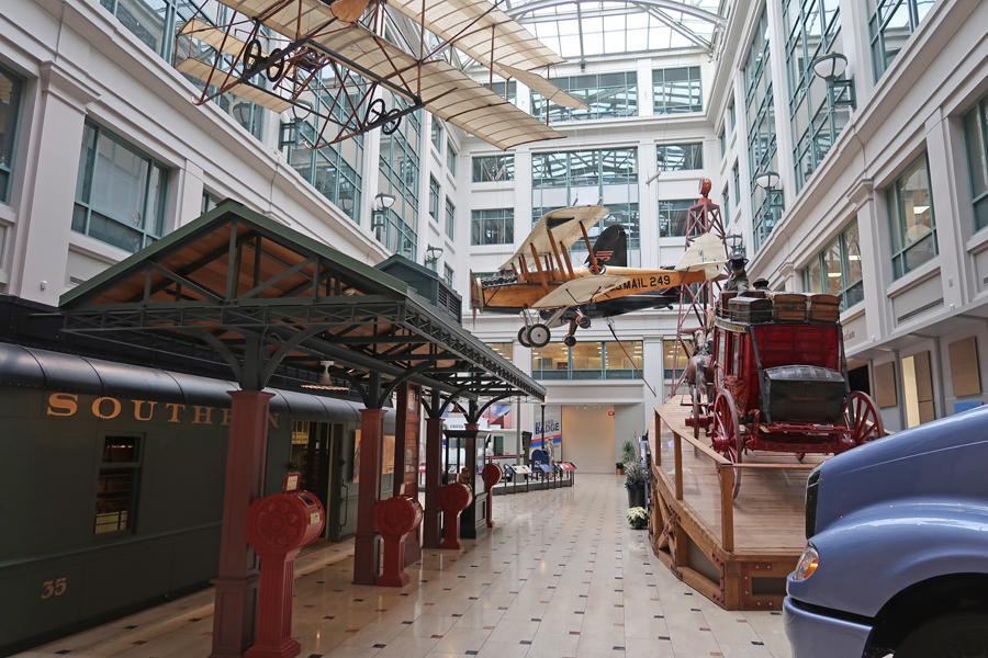
One task of government is to facilitate communication. One way the U.S. has done that is through our postal system. Therefore, in many ways, the history of the postal system is the history of our country. The atrium displays many vehicles that have been and are utilized for the transport of Mail.
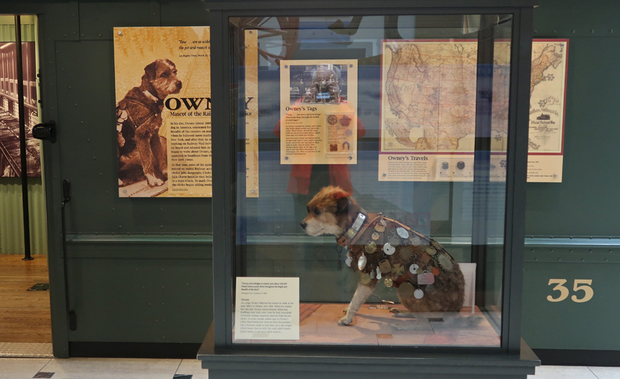
Owney – the Mascot of the Railway Mail Service.
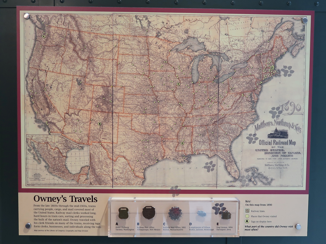
From 1888 to 1897, Owney was the most famous dog in America. Papers covered stories of his travels across the length and breadth of the country. At that time, most of our mail was sorted on trains. Railway Mail Clerks would give Owney a medal or tag to commemorate his trips. Magnify this map to see the locations where he received his medals.
It was a short drive to the National Museum of the American Indian where I wanted to get two photos of outdoor sculptures. The first was the National Native American Veterans Memorial.
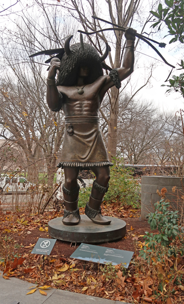
The second was the Buffalo Dancer Sculpture.
However, I could not resist the urge to go into the museum for another quick visit. Music & Song –
Indians are Everywhere in American Life
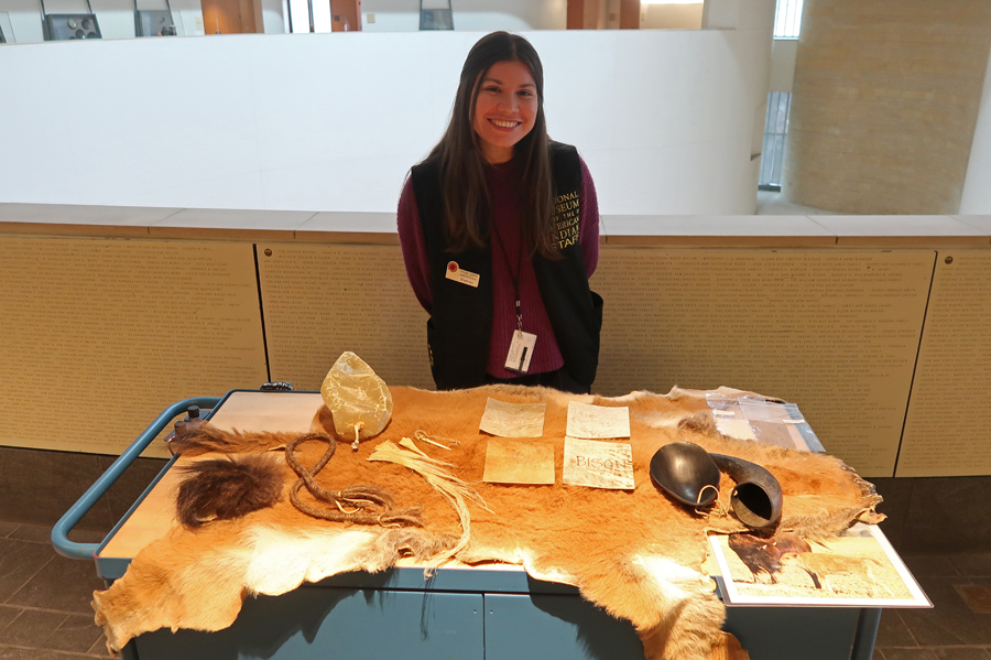
The Indians utilized every bit of the Buffalo –
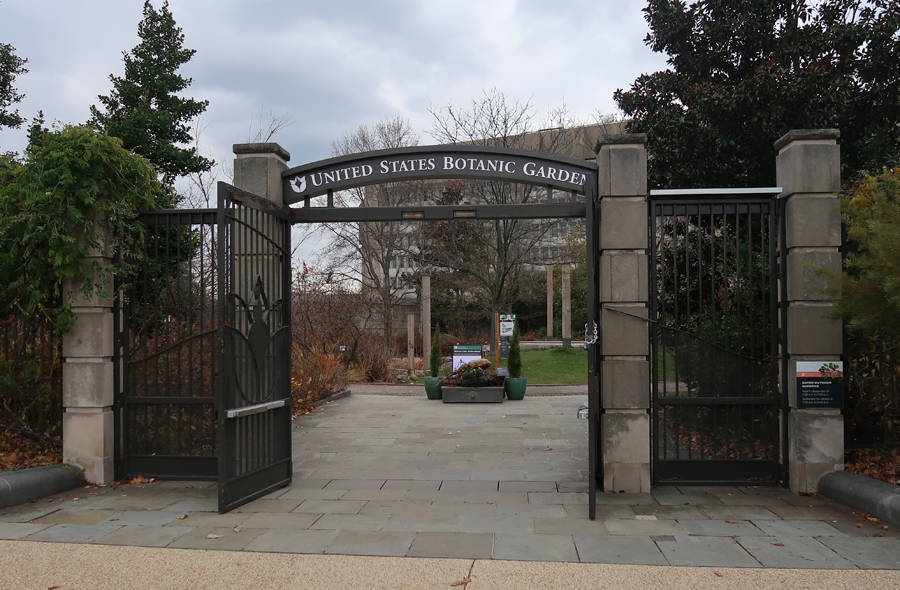
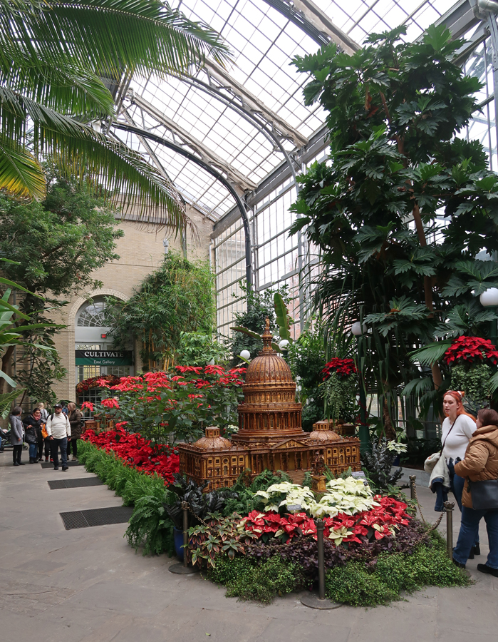
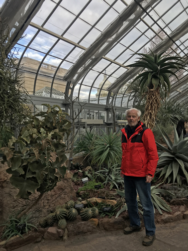
Also did a quick visit to the nearby U.S. Botanic Garden –
Note the Capitol Dome in the background –
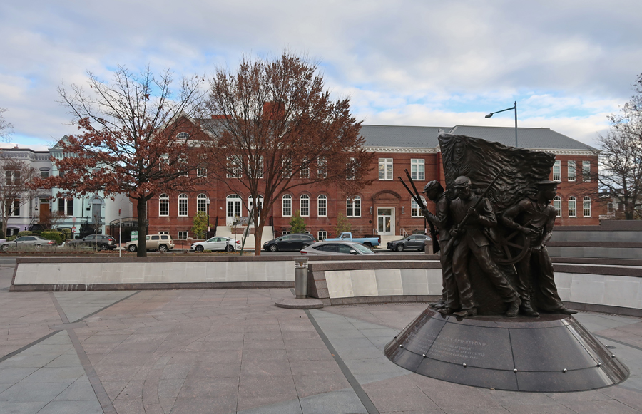
We visited the African American Civil War Memorial in 2018 (see Blog for October 2018). This year I planned to tour the African American Civil War Museum which is across the street. The museum honors the heroic roles of 209,145 U.S. Colored Troops (USCT) who helped end slavery and kept America united under one flag.
Unfortunately, it was in the process of a make-over. BUT, fortunately, I received information and a personal tour from Marquett Milton!
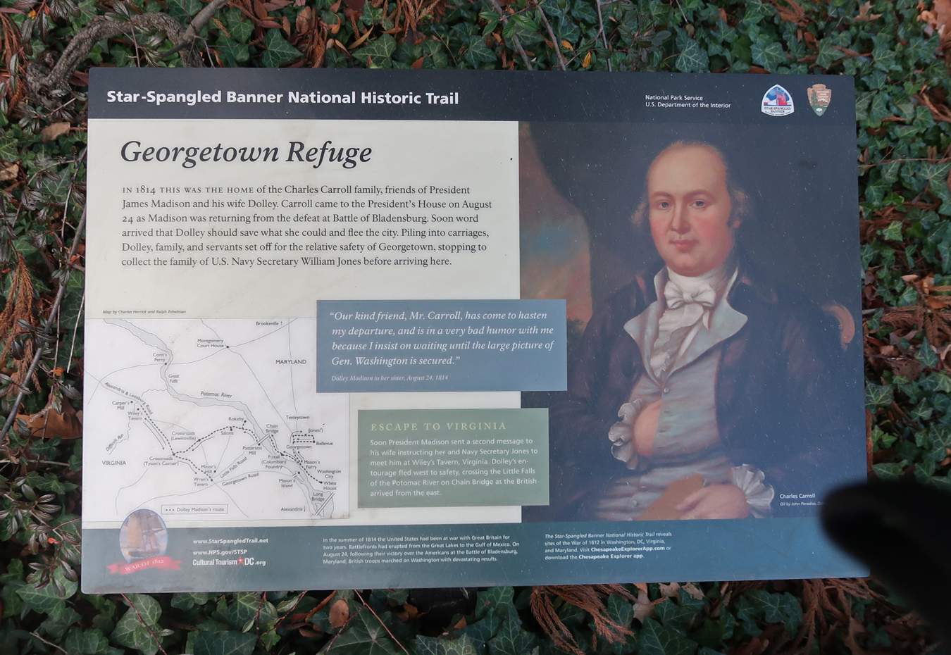
Next, on to the Dumbarton House (built in1799) in Georgetown. Dolley Madison stayed here briefly when (1814) she was evacuated from the White House during the “War of 1812.” It has been restored and is now the headquarters for the National Society of The Colonial Dames of America – women descended from Colonial era leaders.
This marker tells the story and shows her evacuation route to VA for safety. It is one of many sites on the Star-Spangled Banner NHT.
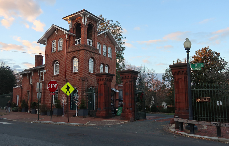
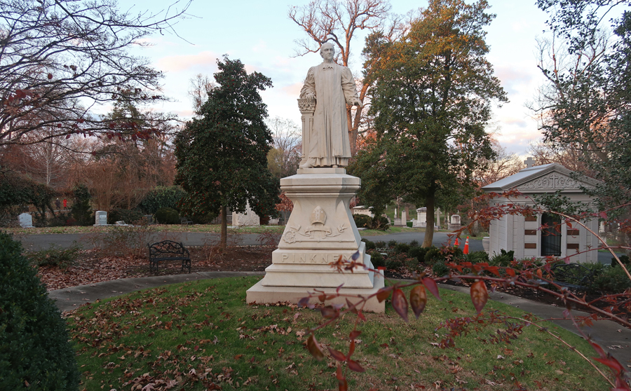
Right next door is Oak Hill Cemetery. It contains the remains of many early Washingtonians –
Reverend William Pinkney
Van Ness Mausoleum
John Joyce, poet
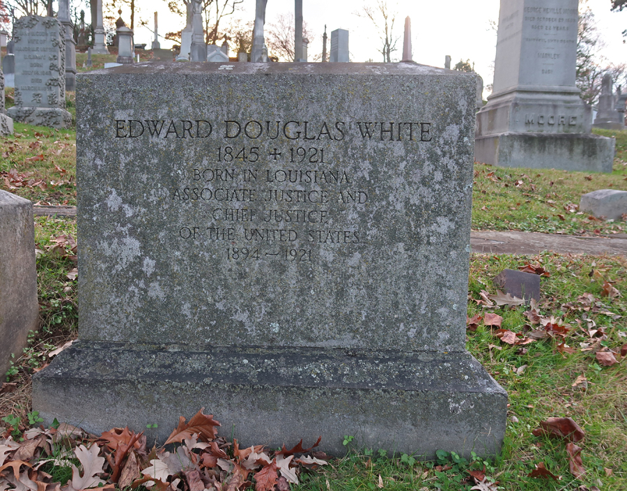
Supreme Court Chief Justice Edward Douglass White
Montrose Park, which is an extension of Rock Creek Park, is just down the road –
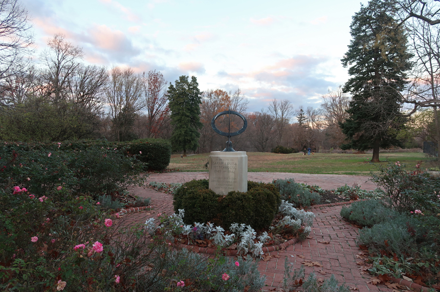
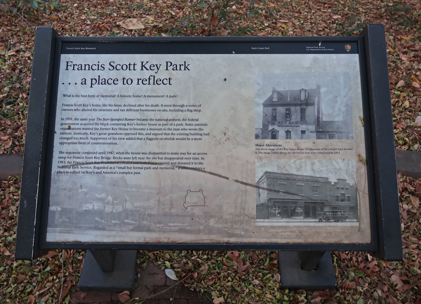
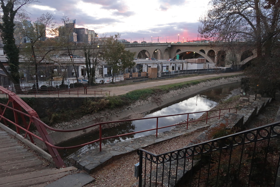
My next stop was the Francis Scott Key Memorial Park located on the N side of Key Bridge. The park overlooks the Bridge, the Potomac River, and the C & O Canal.
For 25-years, Key lived 200-ft away in a two-story house in Georgetown. He was a lawyer who defended leading politicians against charges of treason, scandal, and assault. He also defended African Americans in court to the extent that he was sometimes referred to as “the Black’s lawyer.”
Stairs lead down to the Chesapeake & Ohio Canal towpath
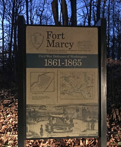
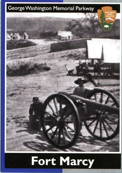
My last stop for the day was Fort Marcy (1862) located off the westbound lanes of the George Washington PKWY. It was one of the Circle Forts built to protect DC during the Civil War.
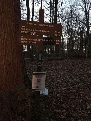
The Potomac Heritage NHT runs through the park – as you can see it was almost dark, the light on the trail sign came from my headlights.
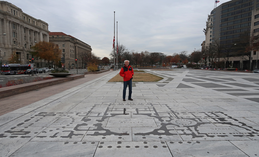
12/7 Th – Called to confirm our White House Tour– no handbags/backpacks permitted and no storage available. Took our photo IDs and caught the Red Line from Rockville to the Metro Central Stop in DC, walked through Freedom Plaza (diagram of Capitol)
Revisited the (now complete) World War I Memorial in Pershing Park, see Blog December 2020 for previous visit.
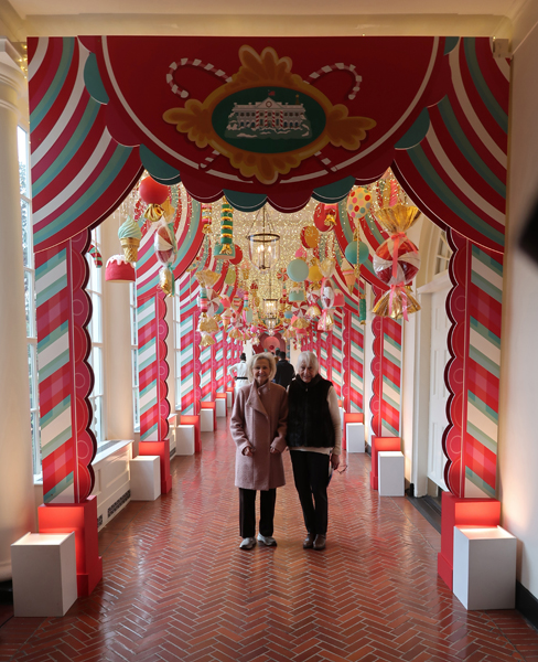
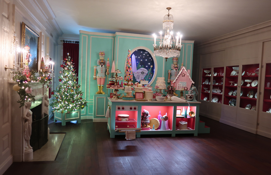
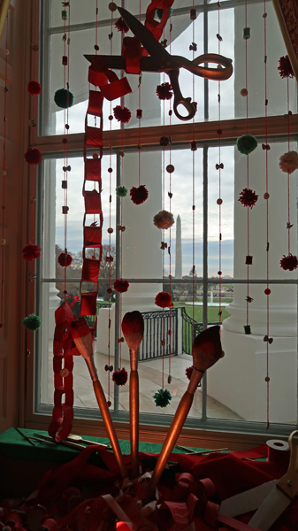
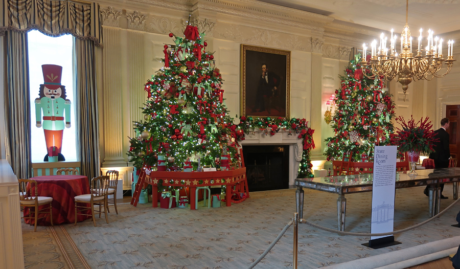
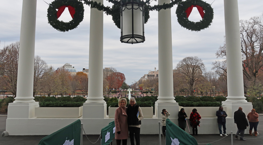
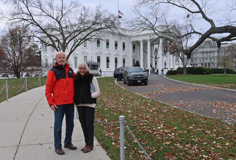
I did the White House Tour in the Fall of 1967 but do not have any photos from that visit. This year I was fortunate to be able to obtain three passes for a Christmas Tour of the White House through my congressperson’s office. Requests must be submitted a minimum of 21 days in advance and no more than 90 days in advance of the requested tour date(s). Nothing is guaranteed and you are vetted before you are issued your pass. As you will see in the following photos, the Christmas decorations were amazing. We felt privileged to be able to do our self-tour during this special season. The theme chosen by First Lady Jill Biden was “Magic, Wonder, & Joy.” East, Visitors Entrance to White House –
Gold Star Family Tree
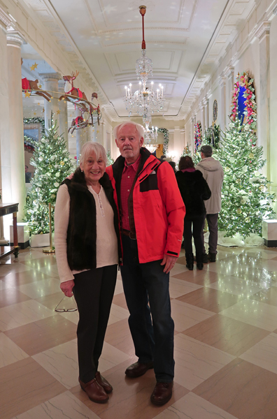
Lillian and Helen in the East Colonnade
Library decorated for Bedtime Stories
Vermeil Room – Music Theater and decorations for the Joy of Music
China Room – decorated as The Bakery
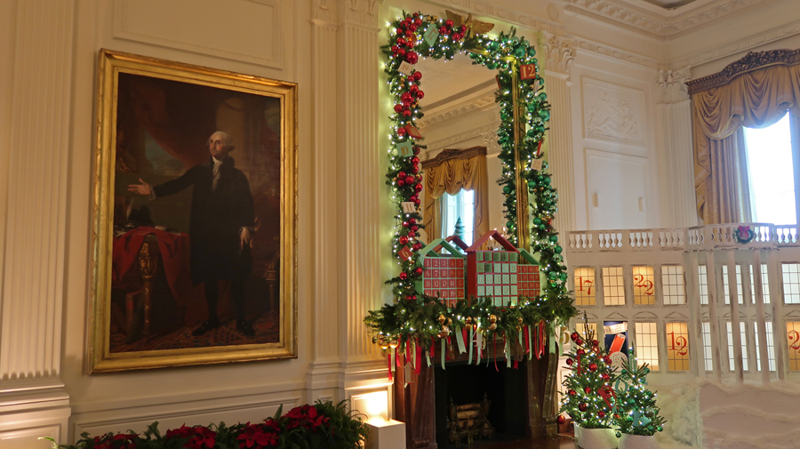
East Room, largest room in the White House – decorated with advent calendar theme –
Portrait of George Washington that First Lady Dolley Madison saved in 1814 when the British burned the White House.
Nativity display –
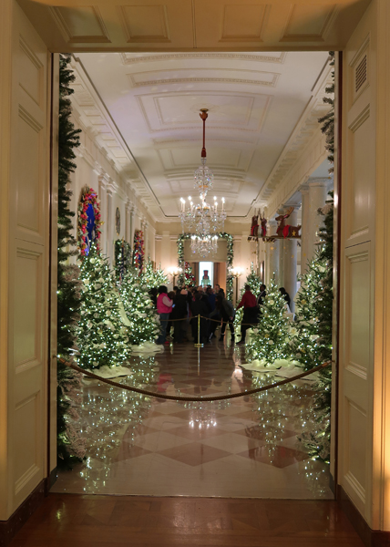
Front Cross Hall – taken through east door.
Front Cross Hall – taken from west door, Grand Foyer to left –
Green Room – top painting “Sand Dunes at Sunset, Atlantic City” by Ossawa Tanner; he mixed sand with his paint.
Official White House Menorah on right in Cross Hall, made in 2021 from wood removed from the White House during a Truman-era renovation –
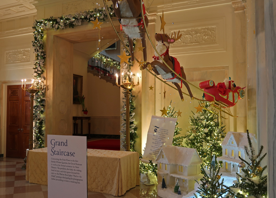
Santa’s Reindeers Flying Through the Grand Foyer –
The theme for the Grand Foyer was – ‘Twas the Night Before Christmas
Blue Room with the Official White House Christmas Tree – decorated with names of states and territories.
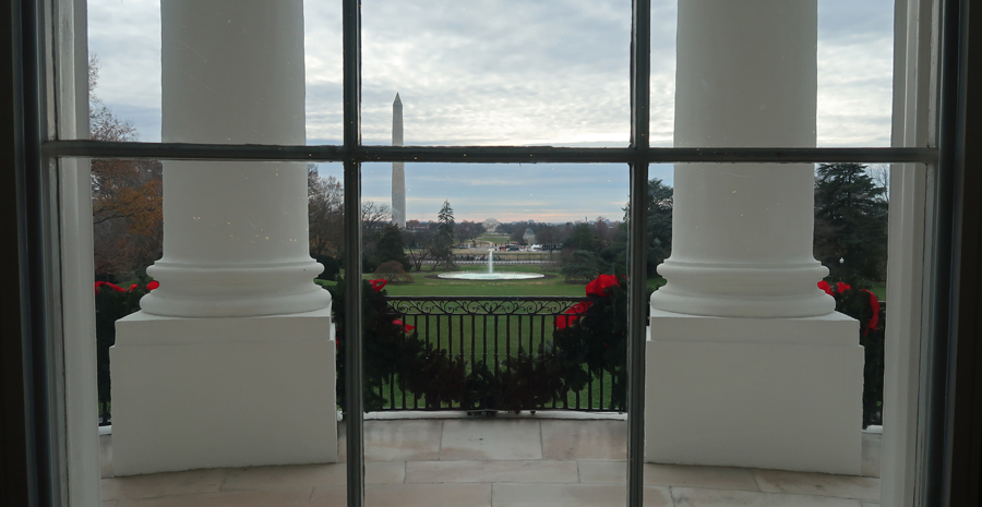
Blue Room windows looking out over the South Portico –
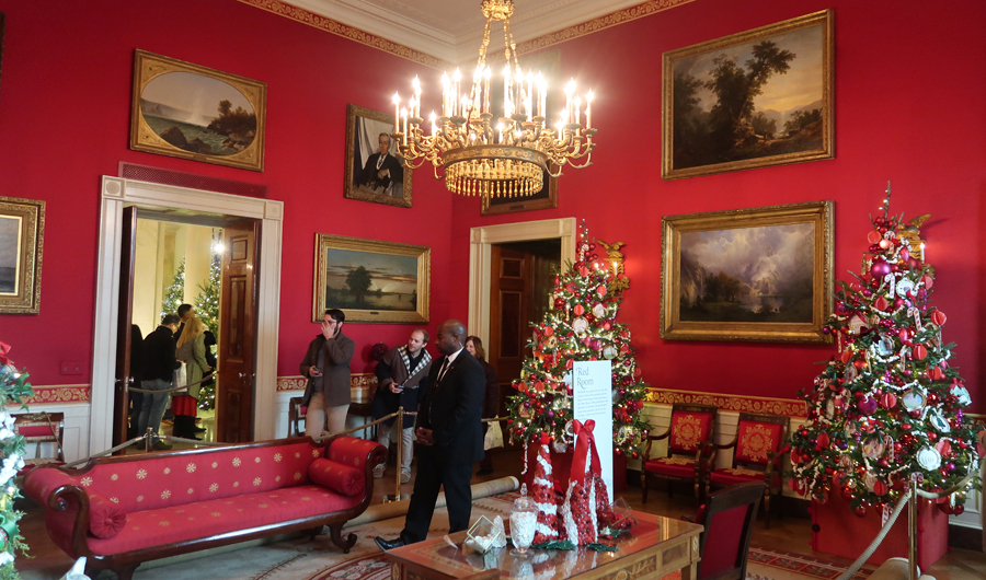
Red Room, Joy of Making Holiday Crafts –
State Dining Room
Gingerbread White House with Candy Cane Pillars
Main Entrance to Blue Room –
Looking Out Front Door of White House –
One Last Shot –
See our August 2021 Blog post for our visit to the White House Visitor Center
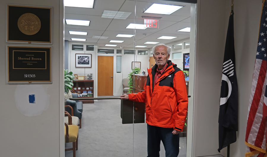
Walked back to the Metro and took it two stops to Judiciary Square and then continued walking to the Hart Senate Office Building. Visited Ohio Senator Sherrod Brown’s office to get Gallery passes for the House and Senate Chambers and then ate lunch in the Senate Cafeteria.
Photo of Senator Mark Kelly’s Office.
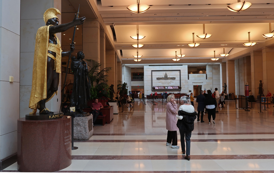
After lunch, one of Senator Brown’s aides accompanied us to the tunnel to the Capitol. We took the subway to the Capitol Visitors Center for our 2pm tour.
I have visited the Capitol several times, but this was the first time I did an Official Tour. I obtained our free tickets on the U.S. Capitol website six weeks before our visit. We started the tour by walking past a full-size plaster model (19.5ft tall) of the Statue of Freedom that sits on top of the Capitol. It was placed atop the Dome in 1863.
Our first stop was the Crypt, which is located directly under the Rotunda. The star on the floor is the center of Washington DC, dividing it into NE, NW, SE, and SW quadrants. It was to be the burial place of George Washington. However, he and Martha remain at Mount Vernon. Thirteen statues are located here, one representing each of the original thirteen colonies.
Samuel Adams (Massachusetts) statue and a copy of the Magna Carta (gift of England & Northern Ireland). The U.S. Constitution was formed on the basic principles of the Magna Carta.
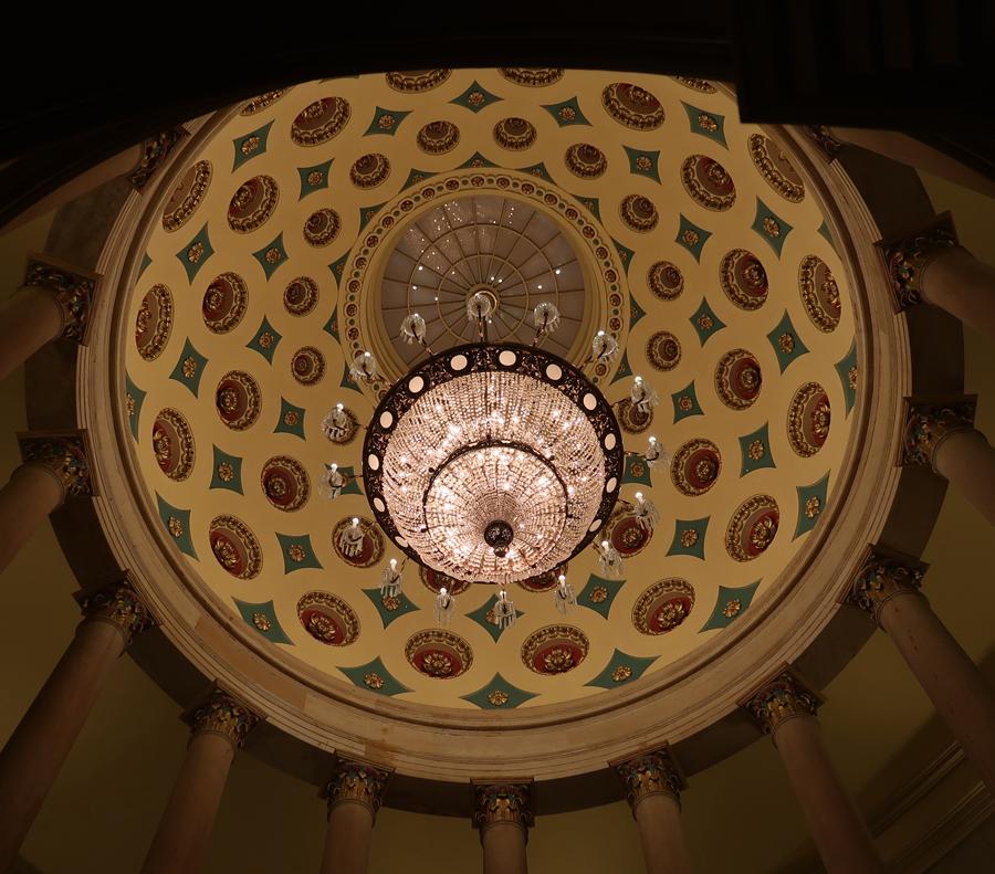
Dome of the Crypt
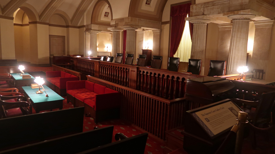
Old Supreme Court Chamber –
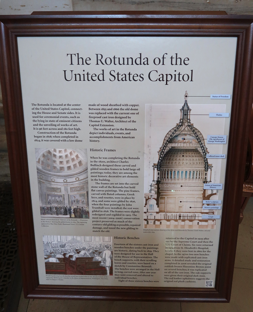
We then walked upstairs into the Rotunda – the Dome. The Apotheosis of Washington, is the fresco painted by Greek – Italian artist Constantino Brumidi in 1865 and visible through the oculus of the dome in the Rotunda. The fresco is suspended 180 feet above the rotunda floor.
Thomas Jefferson and George Washington statues are located at the main (east) entrance into the Rotunda.
Helen resting under painting representing the Landing of Columbus in the “New World.”
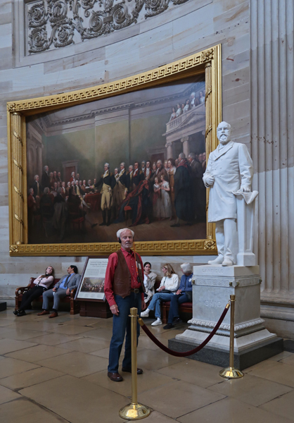
Statue of President Garfield one of two statues representing Ohio. The twelve historic paintings that surround the Rotunda present important events in the history of our country. The one behind me is General George Washington Resigning His Commission, by John Trumbull, 1826.
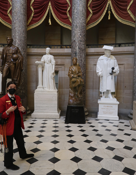
Statue of the women at the forefront of the Women’s Suffrage Movement
Lucretia Mott, Elizabeth Cady Stanton, and Susan B. Anthony launched the women’s movement, which resulted in women’s right to vote. It was granted 144 years after America declared itself a nation of liberty for all. Note that the statue looks incomplete. There is an uncarved block of marble. There is speculation that it will be carved for the first woman President.
Statuary Hall – Our guide was excellent and spoke to us through our groups’ own audio system. Her voice was clear, and our headphones blocked out other sounds in the area. Rosa Parks statue in center.
Thomas Edison (born in Ohio) statue. It is one of two statues representing Ohio in the Capitol.
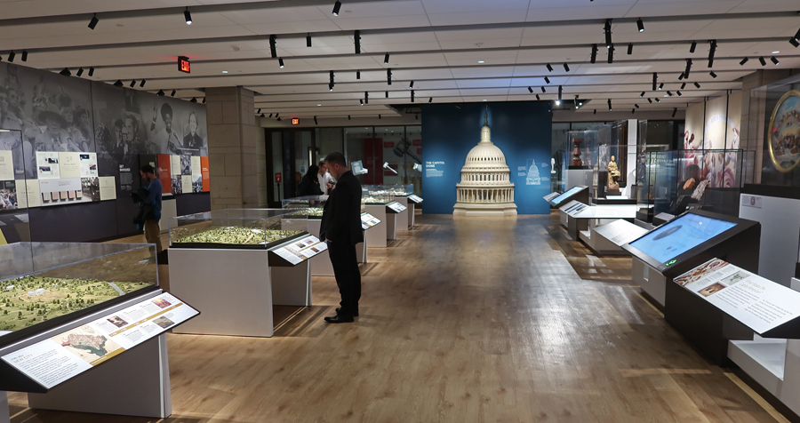
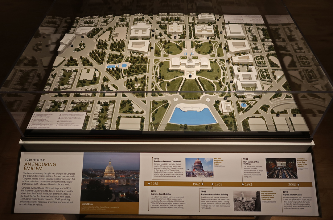
After our tour, we were free to wander through the Exhibition Hall. I liked the five models representing the development on Capitol Hill. Here is the first, representing the New City of Washington DC 1790 – 1814.
Here is the Fifth model representing 1930 – Today.
We then used our Gallery passes to enter the House of Representatives, which was not in session. And then the Senate Chamber, which was in session; no photos are permitted. Only one senator was present, and he was speaking during the debate on a funding bill. Cameras were rolling and his comments were being recorded and sent to congressional offices in real time. If a vote was required, the representatives would be alerted to come to the Senate Chamber. House and Senate Gavels
Gallery Passes
Exit
East side of Capitol at sunset –
Library of Congress – across the street from Capitol (there is a tunnel that connects them). I did research there when in graduate school at the University of Maryland.
Supreme Court Building – also across the street from Capitol
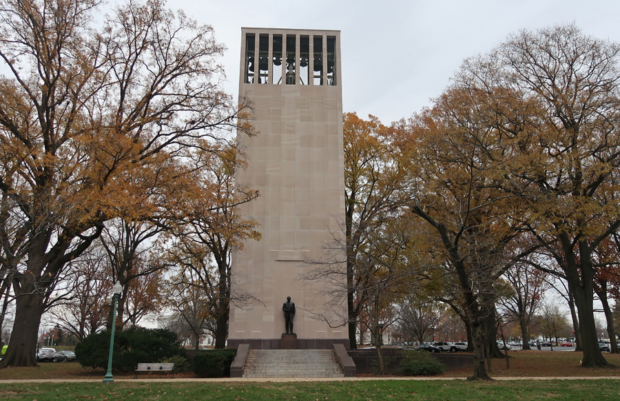
Senator Robert A Taft (Ohio) Memorial Carillon – just north of Capitol. Son of President William Howard Taft (1909-1913).
Returned to Rockville, had dinner at “Not Your Joe’s” Kitchen & Bar.
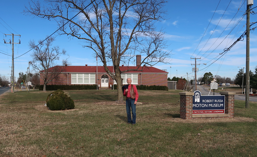
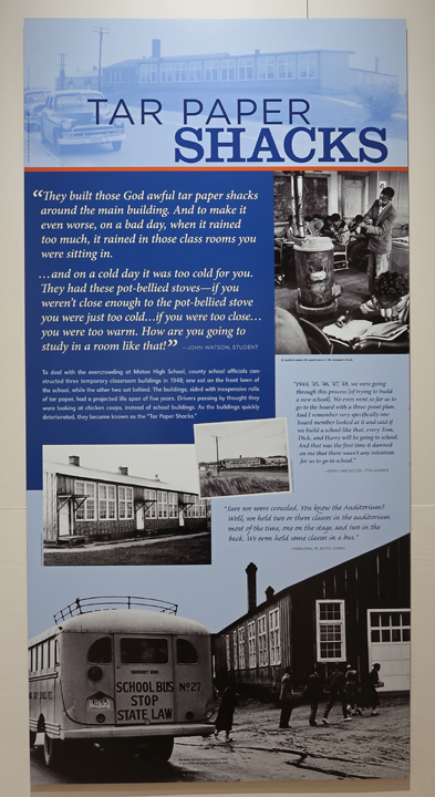
12/8 F – It was a 3-hr drive to the Robert Russa Moton Museum in Farmville VA, which is a National Park Unit affiliated with the Brown v. Board of Education NHP in Topeka KS.
The 1939 High School was named after Robert Russa Moton who was the second principal of Tuskegee Institute in AL.
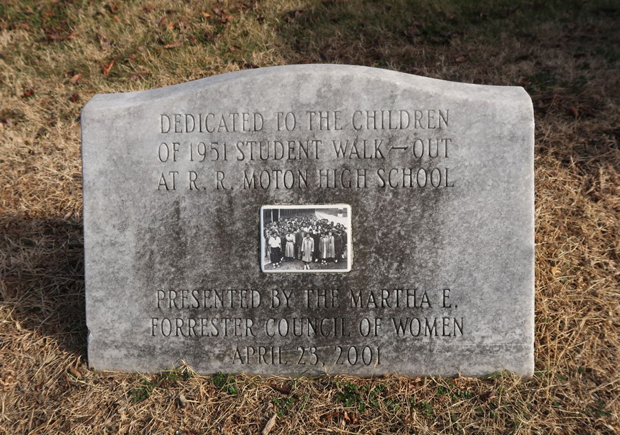
The Museum is dedicated to the black students who walked-out of school in 1951 to protest the unequal educational facilities that were provided for them compared to their white counterparts.
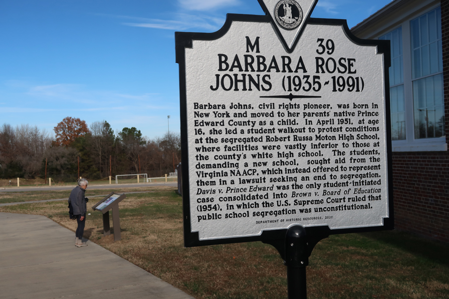
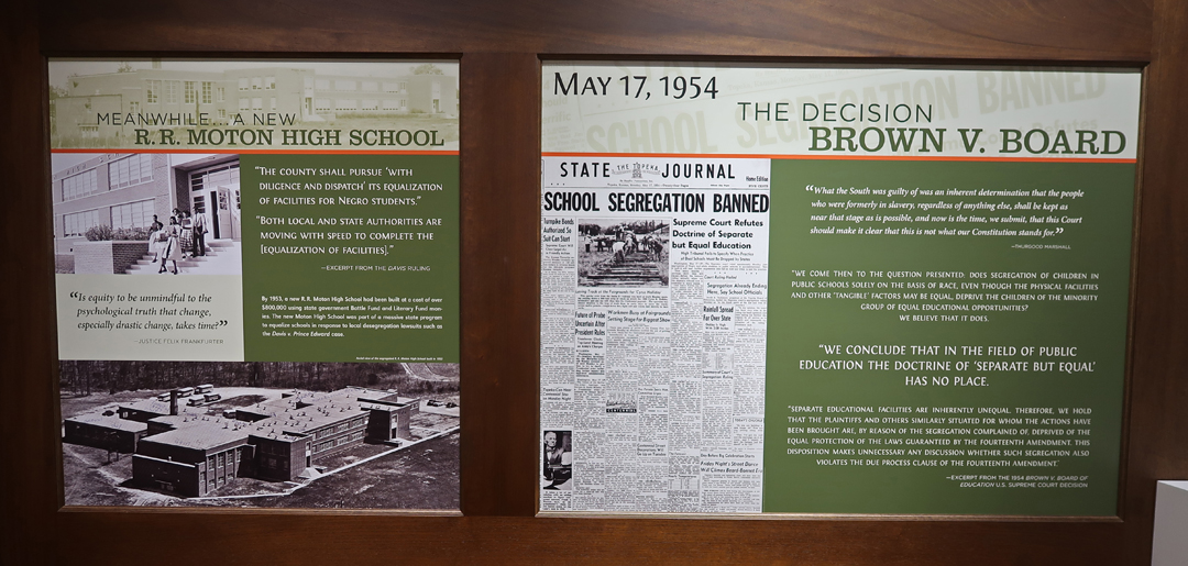
Local lawyers took up the cause and filed a lawsuit, Davis v. Prince Edward (county), to challenge racial segregation. Their suit was consolidated into the U.S. Supreme Court case of Brown v. Board, which led to the 1954 decision declaring that public school segregation was unconstitutional. Prince Edward County responded by closing its public schools for four years to prevent integration.
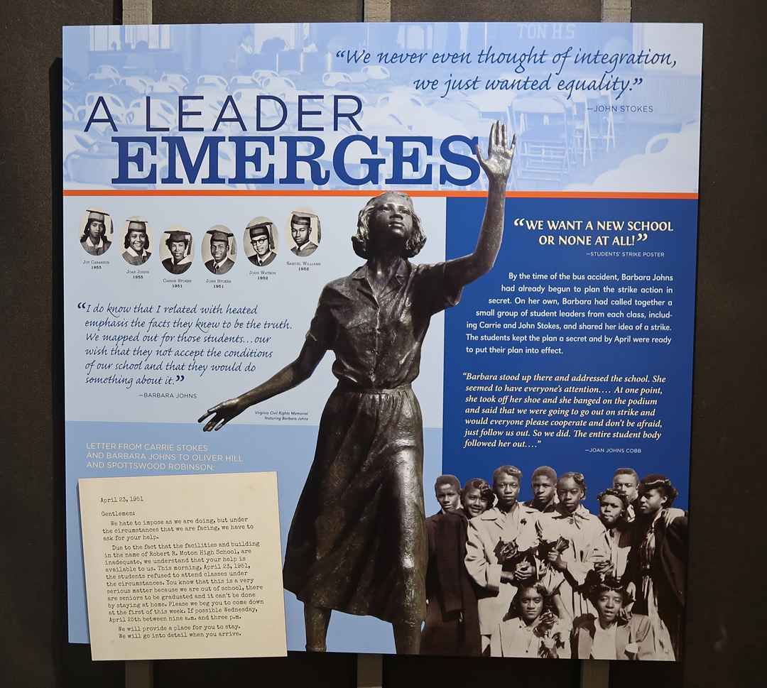
Barbara Rose Johns led a student walkout in April 1951.
The museum and displays were well done –
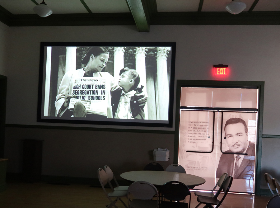
Auditorium
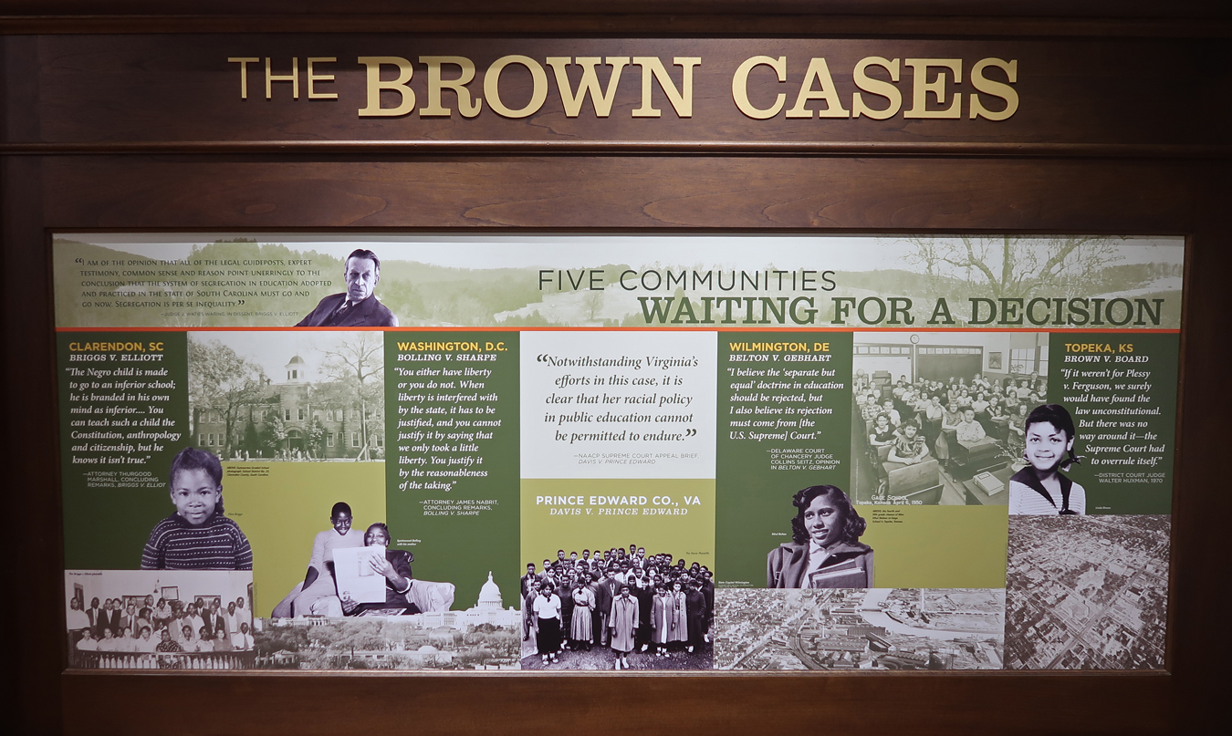
These were the five cases combined into the Brown v. Board School Segregation lawsuit –
R. R. Moton High School is known as the birthplace of America’s student-led Civil Rights Revolution
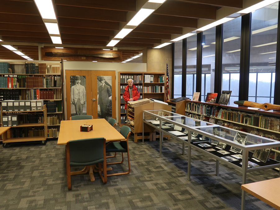
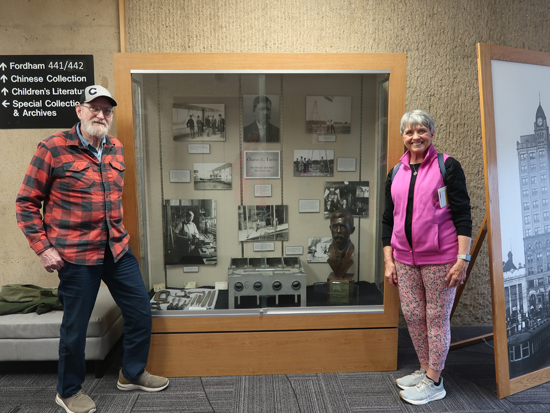
12/1/2023 – Aviation National Heritage Area OH – The Aviation Trail, within the Aviation NHA, has 17 sites directly or indirectly related to the Wright Brothers. The Dayton Aviation National Historic Park (NHP) is part of the NHA and has been described earlier, see Blog for – April 2018. Today, friends Leaf and Jeff were visiting, and we decided to explore two sites in the NHA. The first was Wright State University, in nearby Fairborn OH, where the Paul Laurence Dunbar Library houses the Wright Brothers archives. Dunbar is a noted African American Poet who lived in Dayton. His house is a site in the Dayton Aviation NHP.
The archives are located on the 4th floor. The sculpture on the right is the Coupe Michelin Prize, 2000,000 francs won by Wilbur Wright for flying the longest nonstop flight of the year on 12/31/1908 in Le Mans France.
Some of the resources in the archives
Jeff and Leaf at one of several interesting displays –
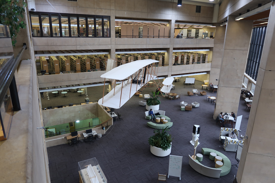
A full-scale replica of the Wrights’ 1903 Flyer hangs in the library atrium.
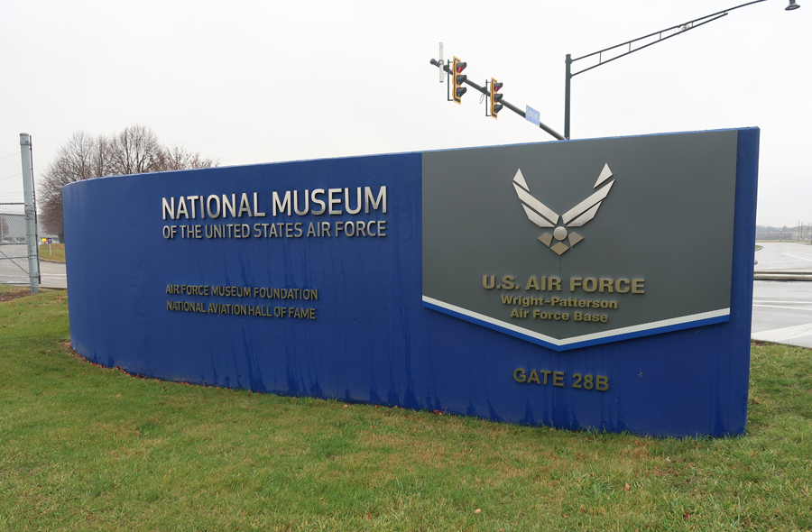
Our next stop was the National Museum of the American Air Force, at Wright-Patterson Air Force Base, 20-min from Springfield. It has four humongous hangars and is the largest military aviation museum in the world. It has >360 aerospace vehicles and missiles covering the history of flight, and it is free! It is a site I have visited numerous times with family and friends.
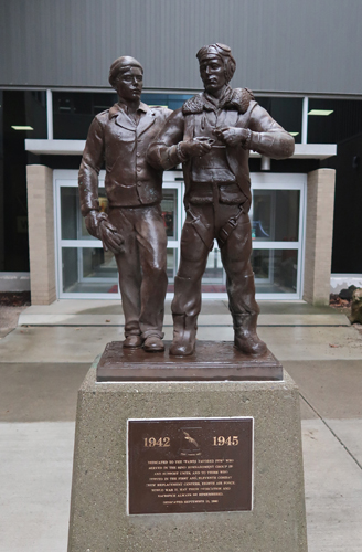
Statue honoring the 92nd Bomb Group that flew B-17s during World War II
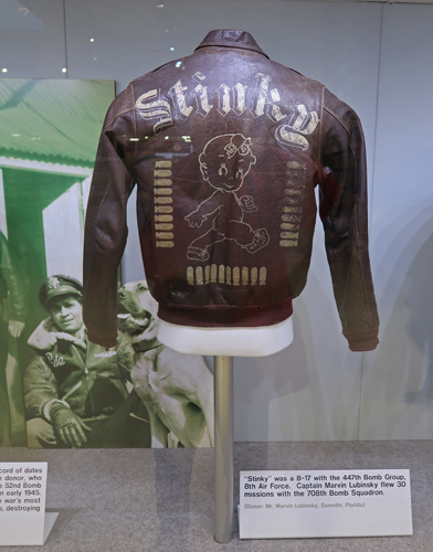
Jacket worn by a B-17 crew member.
This is the gun that was used to fire the first shot from an airplane in 1910.
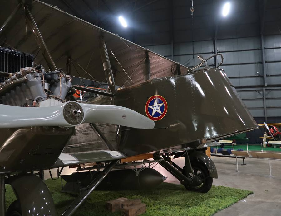
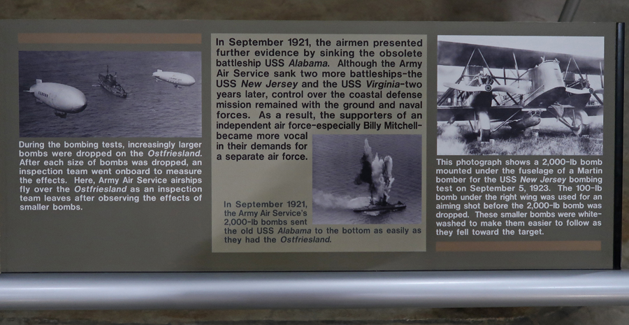
I had to put this early 1920s heavy bomber in the Blog – an MB-2 Martin Bomber with foldable wings.
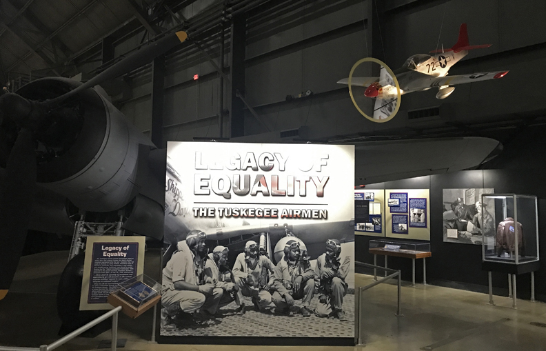
Legacy of the Tuskegee Airmen who flew P-51 “Red Tail” Mustangs during World War II. Their story is told at the Tuskegee Airmen NHS in Alabama.
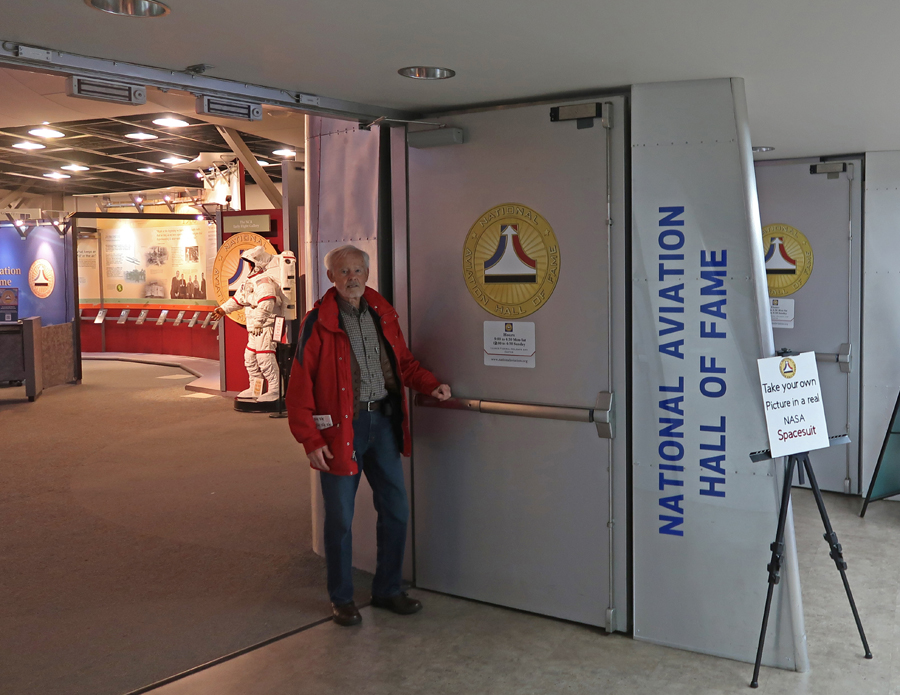
The National Aviation Hall of Fame (NAHF) is located within the museum and is the only Congressionally Chartered aviation hall of fame in the U.S. It consists of a Heritage Hall and an Education Center. It is dedicated to honoring America’s aerospace pioneers. You can have your photo taken in a space suit –
The above is just a small sampling of the planes, missiles, and displays in the AF Museum.
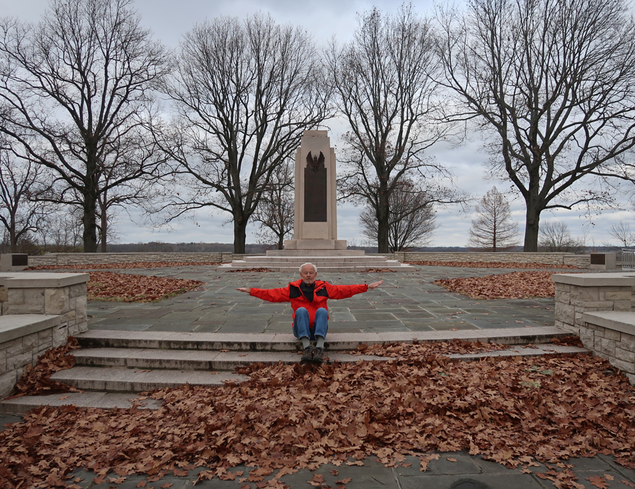
12/2/2023 – after our guests left, I decided to re-visit three other sites in the Aviation NHA to add more photos to my collection. The first was the Huffman Prairie Flying Field at Wright-Patterson Air Force Base. I started at the Interpretive Center and Wright Brothers Memorial, which is part of the Wright-Dunbar NHP – see Blog for July 2013.
The Huffman Prairie Flying Field was where the Wright Brothers tested many of their aircraft and trained pilots – The First Airport –
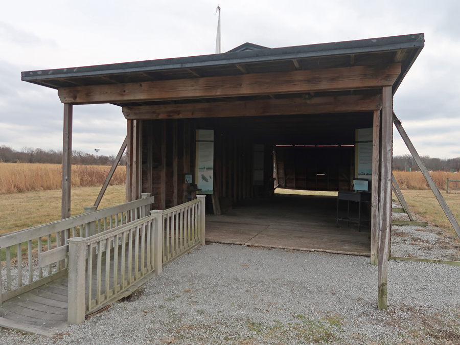
1905 Hangar
Catapult
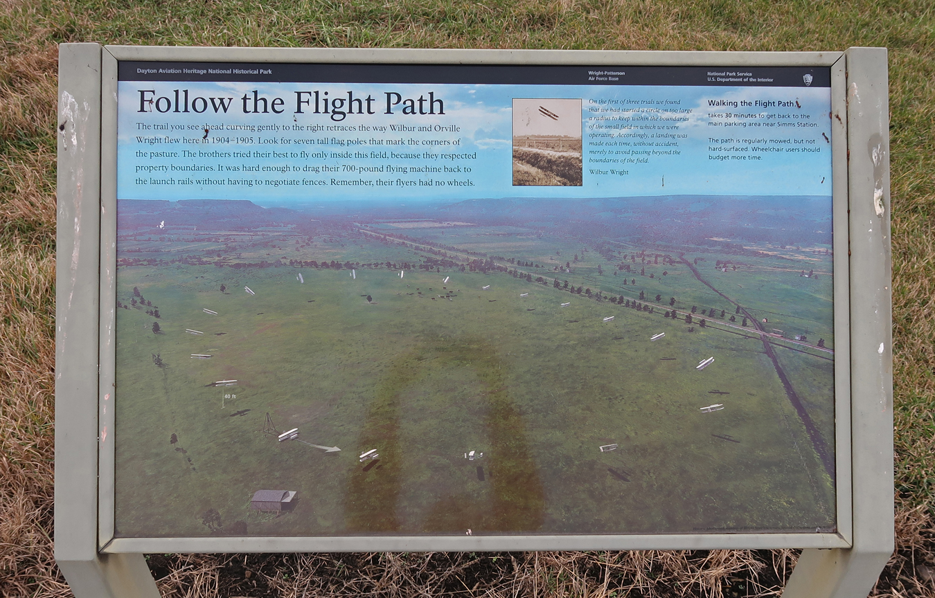
I walked around the pasture, marked by seven flag poles, which follow the flight path of the 1904-1905 flight trials.
This area, in Fairborn OH, went from a Flying Field to an Air Force Base
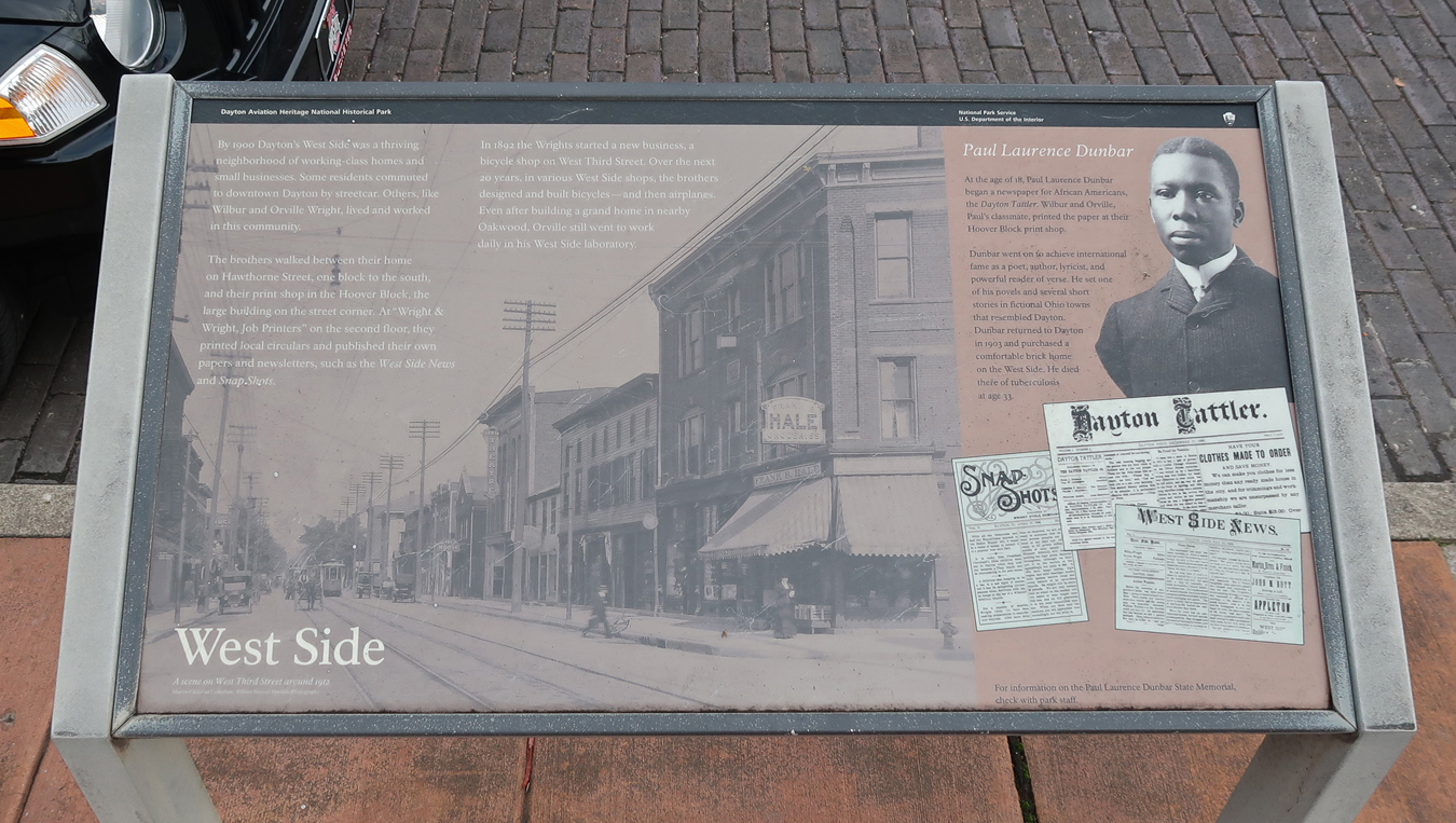
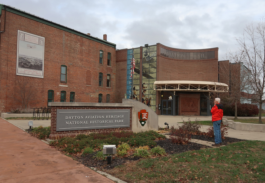
My next stop was at the Wright-Dunbar NHP Interpretive Center and Aviation Trail Visitor Center, in West Dayton.
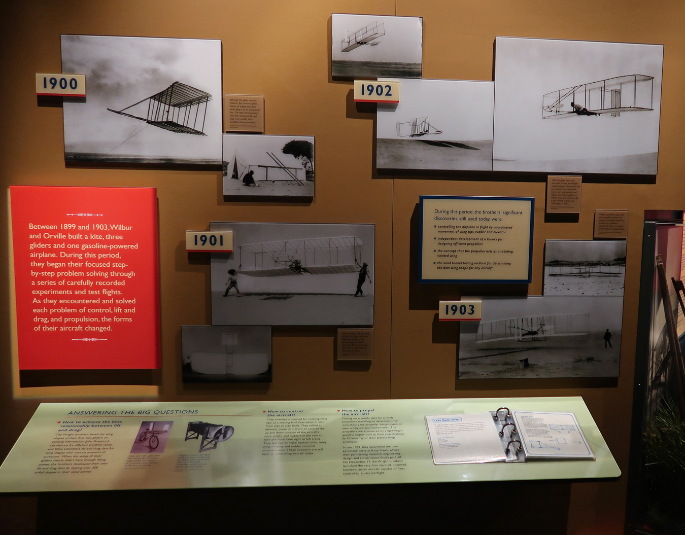
There is a re-creation of the 1902 Glider that the Wright Brothers tested off the sand dunes in Kitty Hawk NC just inside the entrance.
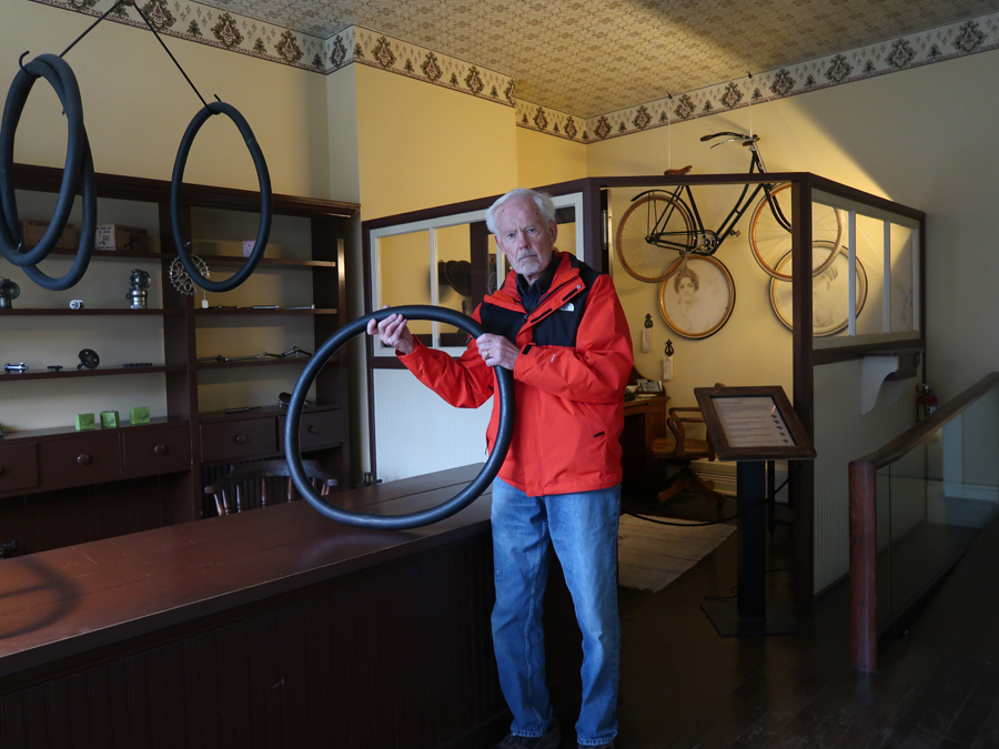
One of the two original Wright Brothers Cycle Company buildings is located here – see Blog for April 2018. The other was moved to the Henry Ford Museum/Greenfield Village in Dearborn MI, which is part of the MotorCities NHA.
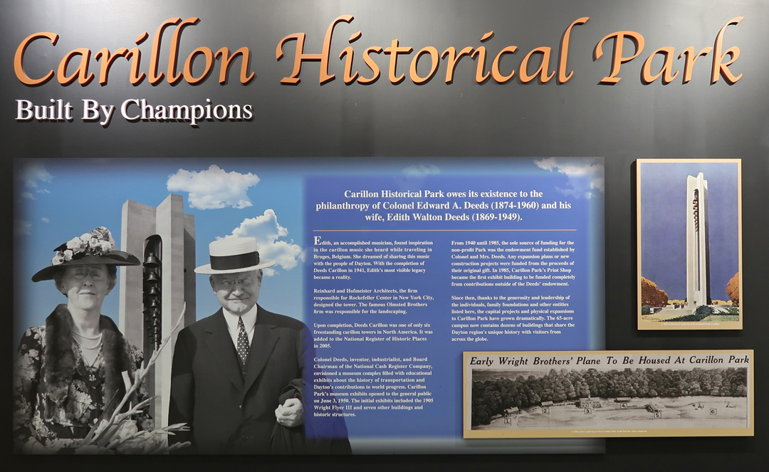
My last stop of the day was at Carillon Historical Park near the University of Dayton; UD’s mascot – The Flyers! The Park (1950) has many buildings and displays that cover life and manufacturing in Dayton.
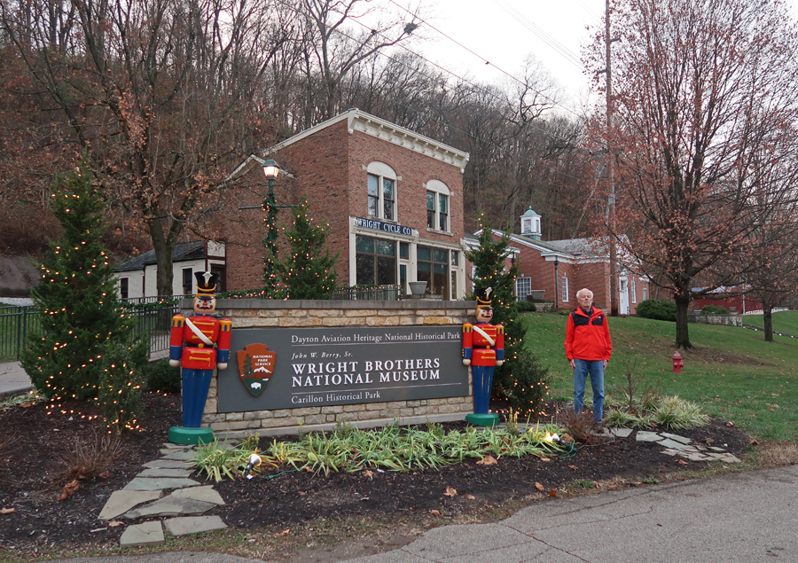
One is a re-creation (1972) of one of the two Wright Brothers Cycle Company buildings.
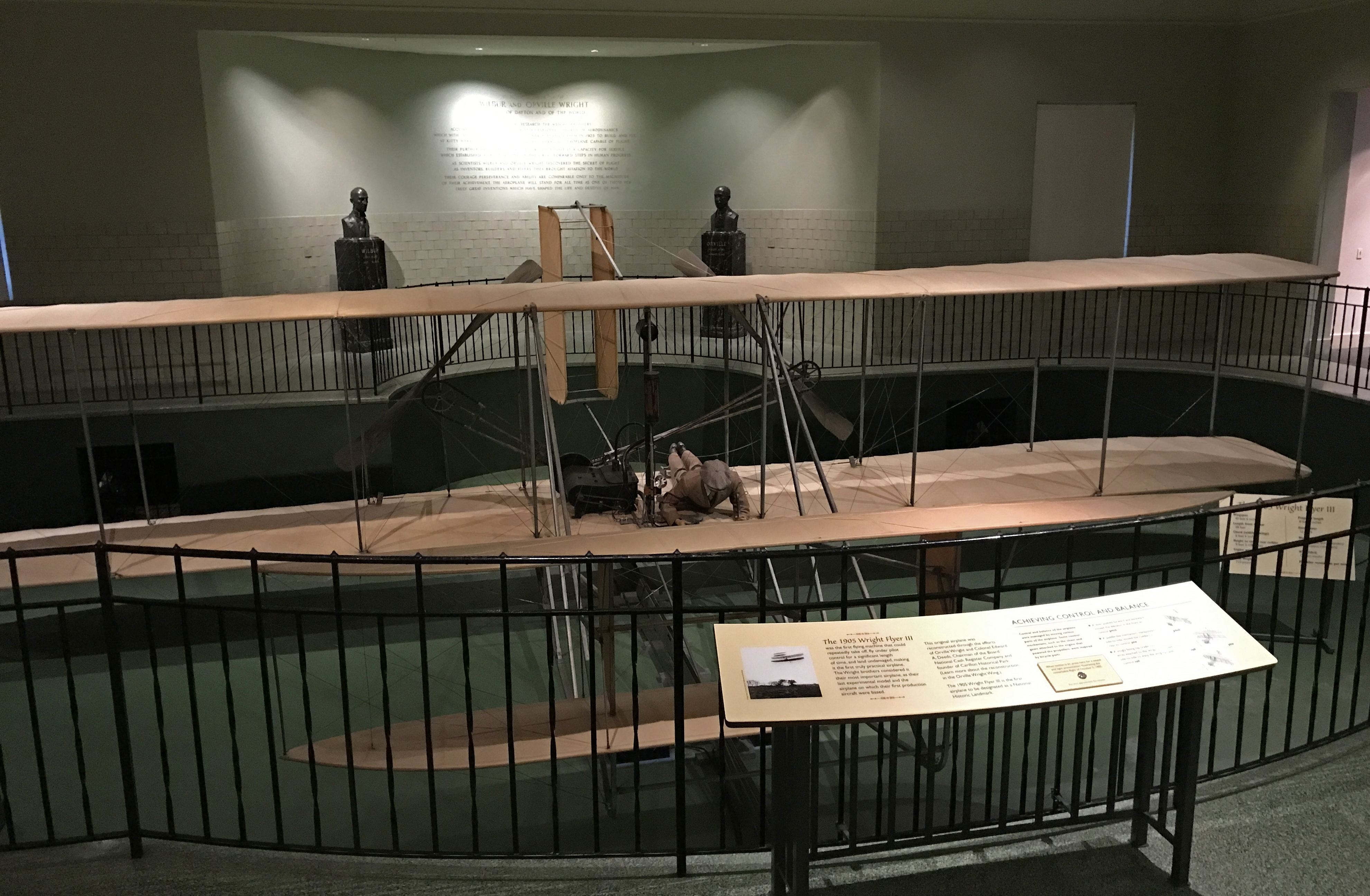
An adjacent building was designed, with the help of Orville Wright, to house the original 1905 Wright Flyer III, the world’s first practical airplane. He wanted the plane displayed below ground level so visitors could see how the controls operated.
There are many interesting Wright Brothers exhibits there.
Having documentation (stamps) that I had completed 8 of the 17 Aviation Trail sites, I was now able to receive a “Wilbear Wright” teddy bear!
The Deeds Carillon (1942), at the entrance to Carillon Historical Park, is decorated each year for Christmas.
10/3 Tu – Took Mike to lunch in Chicago and arrived in Milwaukee before the kids were home from school. Moved some items into the house, e.g., wing-back chair, large copper kettle, Matt’s painting, etc., and then had some time for playing followed by a delicious chicken & dumpling dinner.
10/4 W – Grandparent’s Day at St. Sebastian Church/School, started with Mass (Seamus was a reader), followed by snacks and visits to Drago’s, Seamus’s, and Lena’s classrooms.
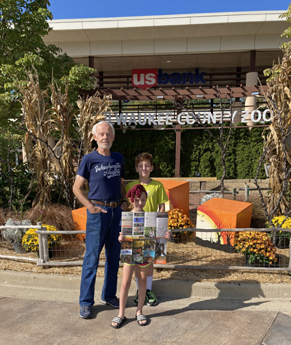
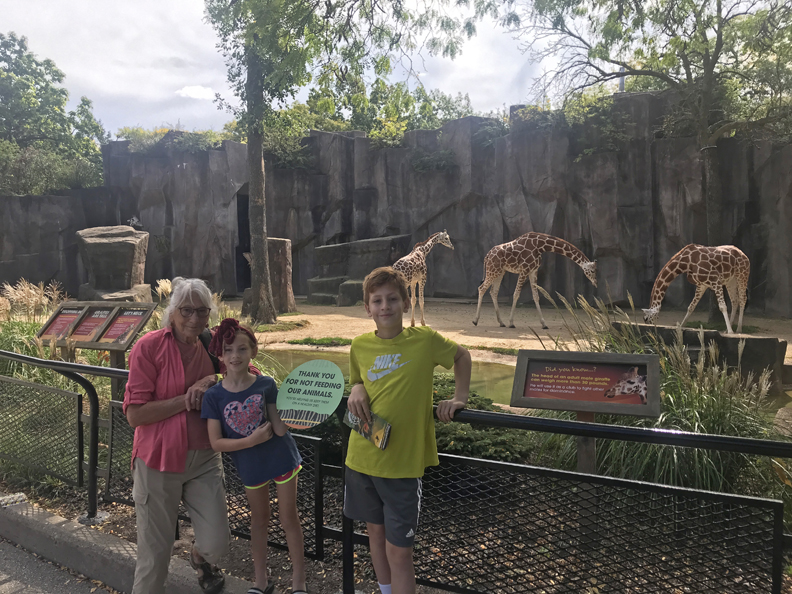
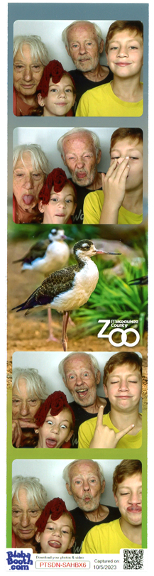
10/5 Th – We took Seamus and Lena, first to Goodwill for “low cost” shopping, and then to the Milwaukee Zoo. Drago was to go climbing with a friend but that did not work out.
They had a special Ice Age Exhibit loop walk with animated prehistoric animals.
We also saw the Sea Lion Show and the kids did the 3D Virtual Reality Gorilla Trek. Our Zoo visit ended with a Rainbow Sherbert cone from the family farm. In total, we walked about 4 miles!
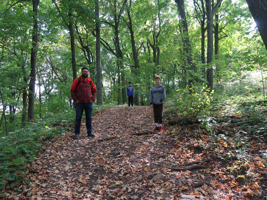
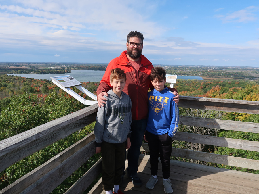
10/6 F – Chad drove Drago, Seamus, and I to the Pike Lake Unit ofKettle Moraine State Forest. We did a 5-mile hike including a segment of the Ice Age National Scenic Trail.
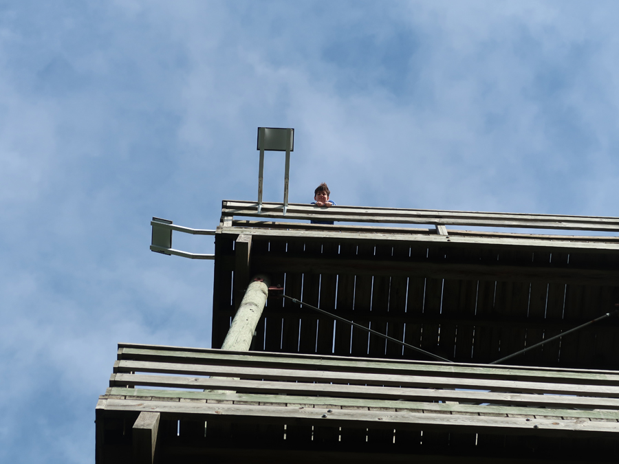
Gained over 400ft to the top of the Powder Hill Observation Tower –
Meanwhile, Helen and Lena were making Halloween cookies at home. In the evening, we went to Drago’s volleyball game (win) and the Family Fish Fry at St Sebastians.
10/7 Sa – I took Lena to her soccer game (win) while Chad and Helen went to Drago’s swim meet.
It was the feast day of St Francis of Assisi. In the afternoon, Chad and I walked to the church for Clancey to receive his blessing. We celebrated Drago’s birthday early (it is on 10/10) at the Old Town Serbian Gourmet House in S Milwaukee. Finished the evening with the card game 99 at home.
10/8 Su –started with Mass and then everyone rushed to get to Seamus’s soccer game (win). Afterward, we drove to the Upper Peninsula (UP) of MI to spend the next day with our friends Clark and Donna.
10/9 M – Did a tour of the area along the border between WI and MI starting at Dave’s Falls in Marinnette County WI. Then drove to the Lighthouse in Menominee MI, did Thrift shopping, and ate at the Ogden Club (1900); tried Cheese Curds for the first time. High fat, greasy, but good! Had a pizza dinner and played cards at home on a cold rainy day.
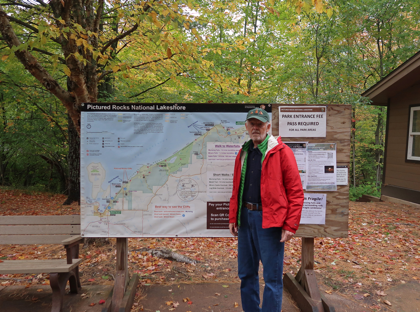
10/10 Tu – 2hr drive to the Munising Falls Visitor Contact Station at Pictured Rocks National Lakeshore (NL). Fall colors were near peak on Lake Superior.
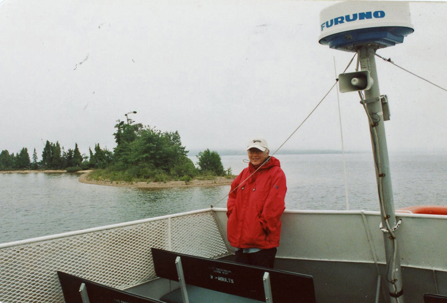
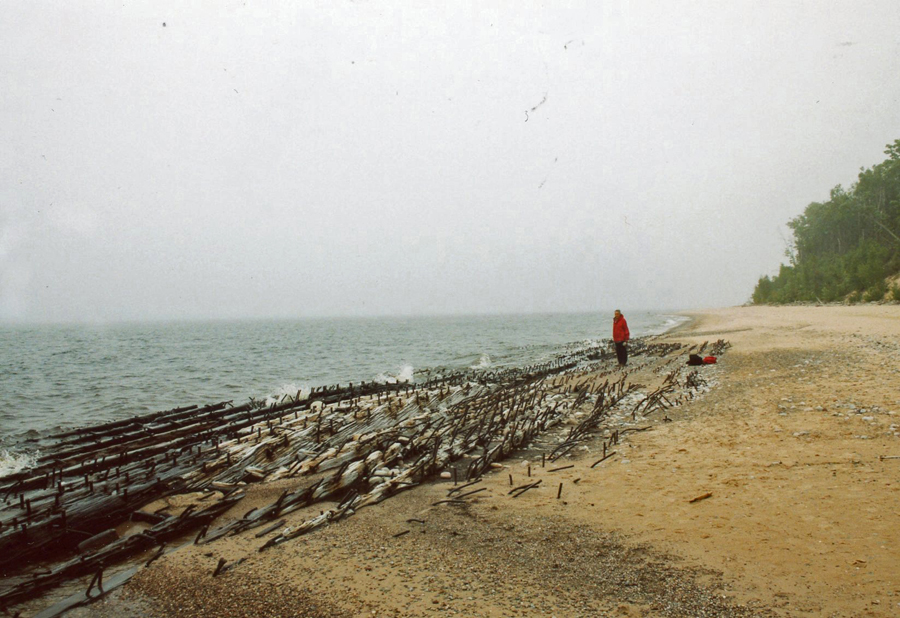
We visited here in 2003 on our first “Around Lake Michigan” trip. That year we did the Ship Wreck Tour leaving out of Munising.
Followed by the 0.5-mile rt trail to Munising Falls located in the NL.
We then drove to Hurricane River and the Au Sable Light Station trailhead. We did the 3-mile rt hike along the beach (North Country National Scenic Trail), passing the remains of Lake Superior shipwrecks, to the Au Sable Light Station.
Our first hike on this visit, 20-years later, was the 1-mile, mostly boardwalk, Marsh Trail Loop near Sand Point.
Our next stop was the Miners Castle Overlook
Followed by a short hike to the Lower Overlook on a segment of the North Country National Scenic Trail (NCNST). The NCNST stretches over 4,800-miles from VT to ND or vice-versa!
The Lower Overlook provided a close-up view of Miners Castle. Note the window picture frame – for taking a picture of Pictured Rocks NL!
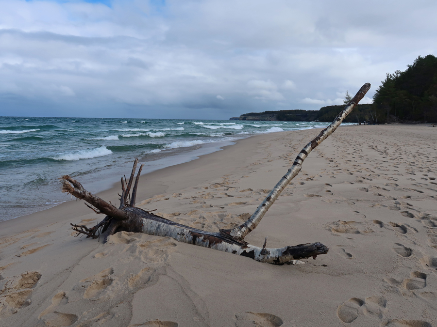
We then took a cold stroll on Miners Beach – looking West –
Miners Beach looking East –
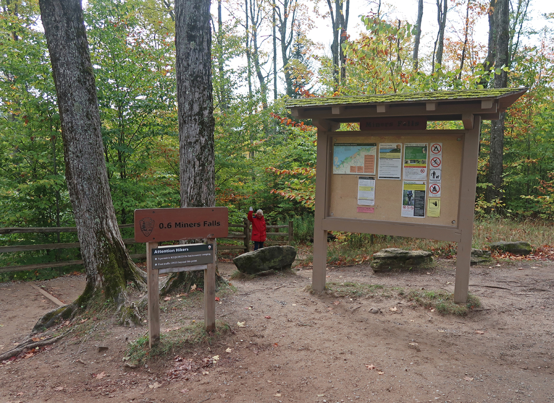
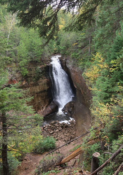
To warm-up, we then did the 1.2-mile rt Miners Falls Trail
2018 NP Quarter
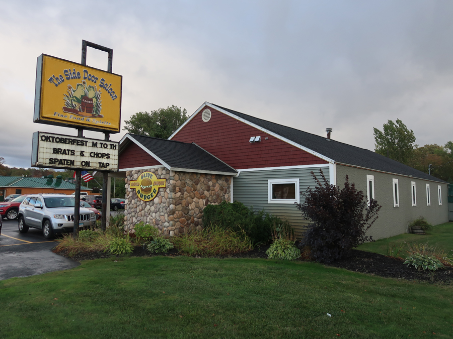
Followed US-2 around the N end of Lake Michigan, crossed the Mackinac Bridge, and stopped in Petoskey MI for an Octoberfest dinner at the Side Door Saloon. My mother’s first cousin, Josephine Kolinski and her husband Walter, owned this bar/restaurant and it was called the Vienna. It was handed down in the family but sold last year and the new owners re-named it the Side Door Saloon.
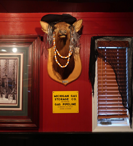
This deer was shot by Tony Kolinsky, the first one of the 1964 hunting season.
Spent the night in the scenic town of Charlevoix MI –
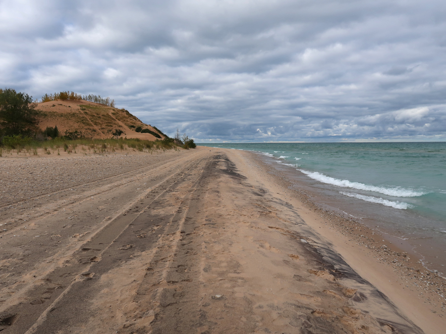
10/11 W – It was a rainy 2hr drive to Sleeping Bear Dunes National Lakeshore (NL) –
Our first trip here was in 2003 when we ran down to the lake and then climbed the NL’s highest dune at the Lake Michigan Overlook on the Pierce Stocking Scenic Drive.
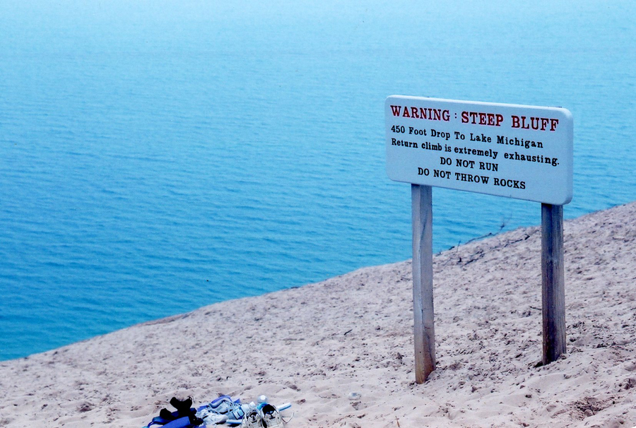
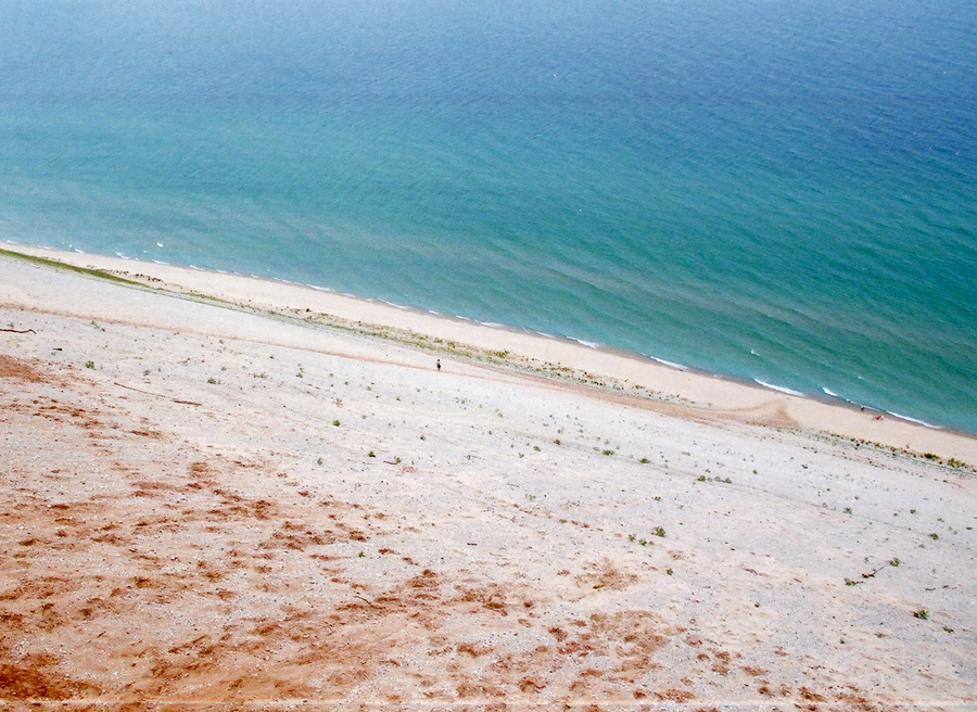
It took about five minutes to run down to the lake and about a half hour to climb back up the 450ft dune!
This year, we took pics and reflected on how difficult it was to climb that sand dune twenty years ago! Note the observation deck that has been built at the overlook.
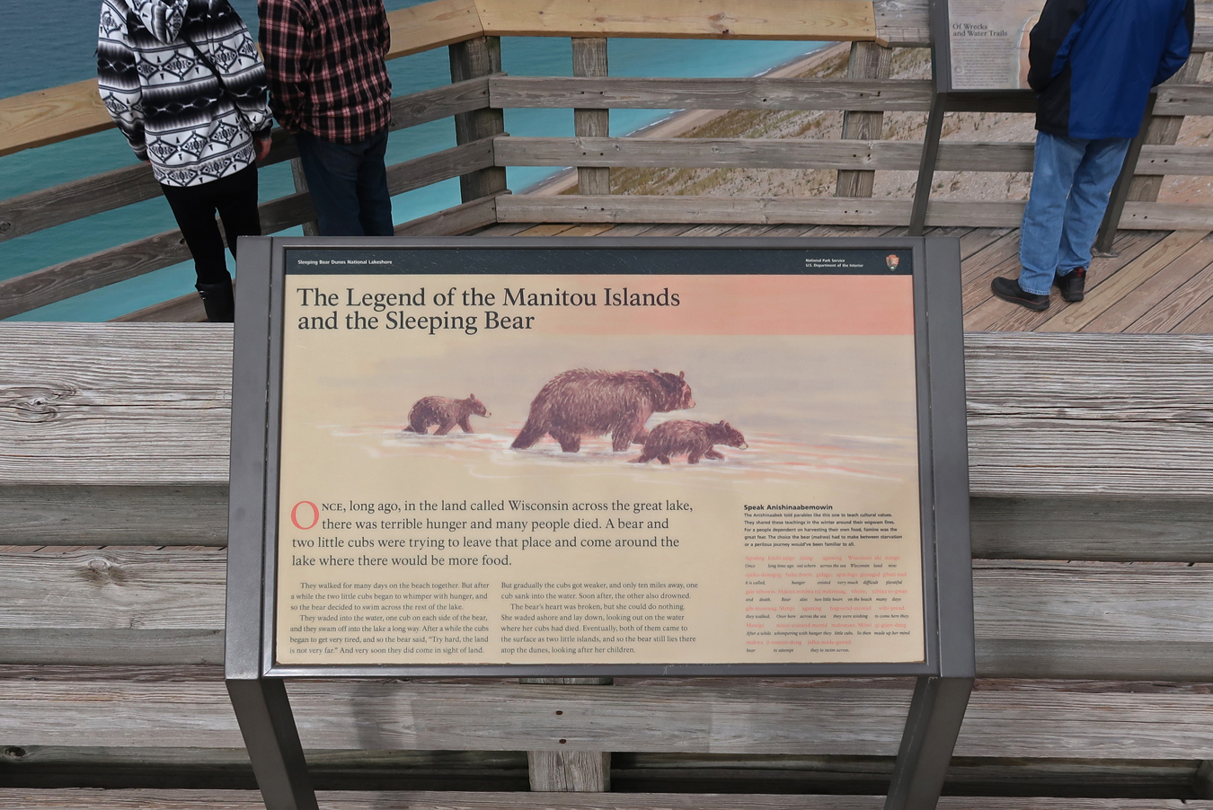
Legend of Manitou Islands and the Sleeping Bear
View of climb from Observation Deck –
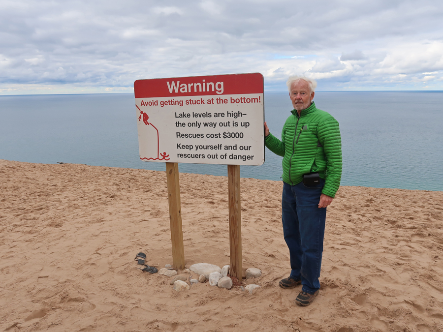
Lucky we didn’t get stuck at the bottom!
This year, we started our visit to the NL by doing the 1.2-mile hike to Pyramid Point
Another warning sign!
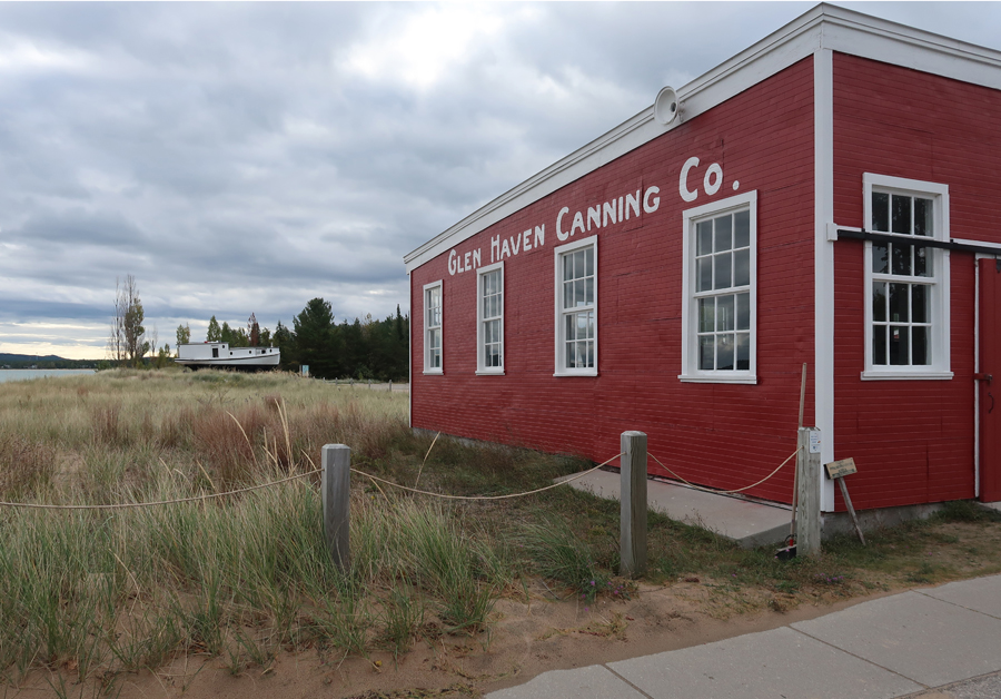
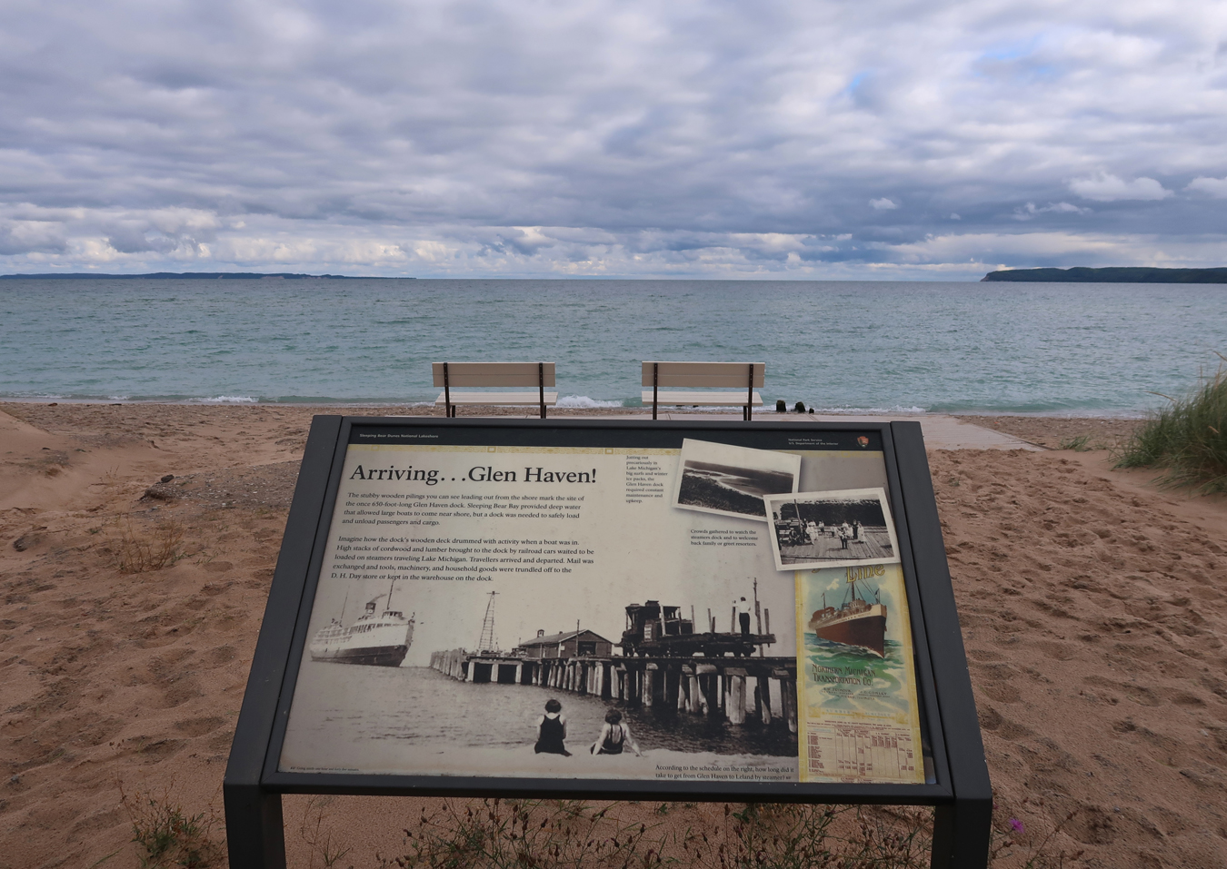
Next, the historic Village of Glen Haven
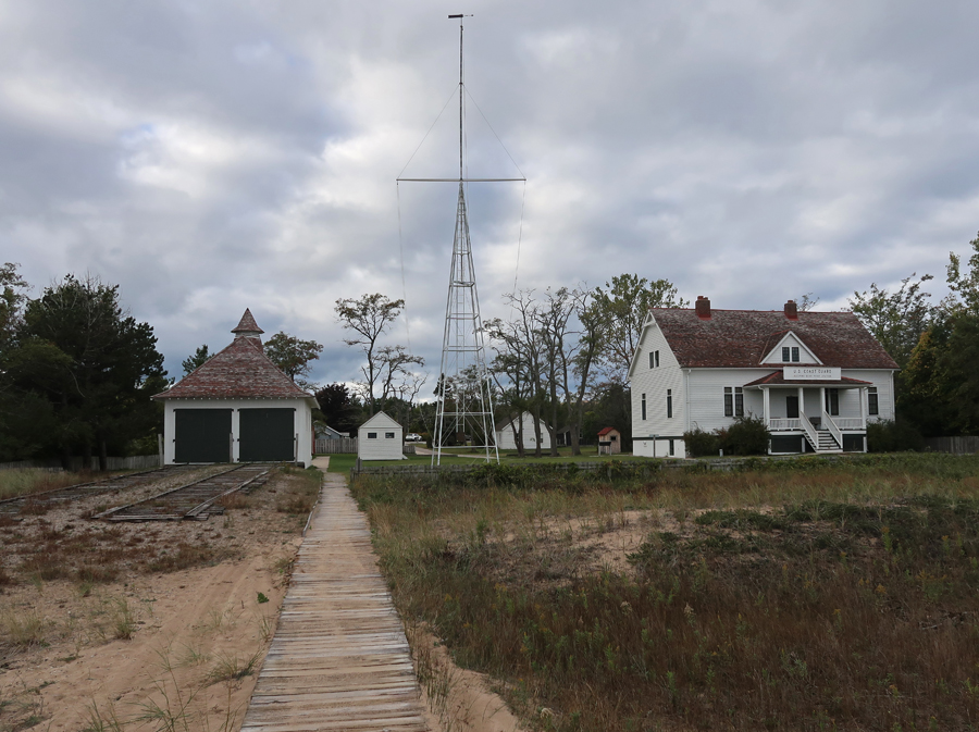
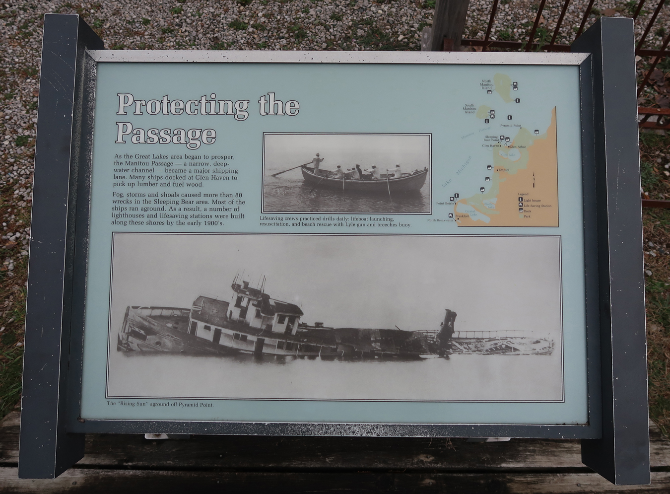
Then the U.S. Life-Saving Station
The Coast Guard Station was active from 1902 to 1942.
We then did the 1-mile rt hike to Sleeping Bear Point
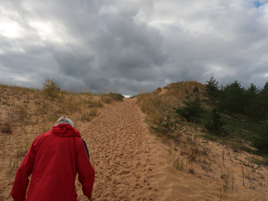
Dune climb on our return hike to the SUV.
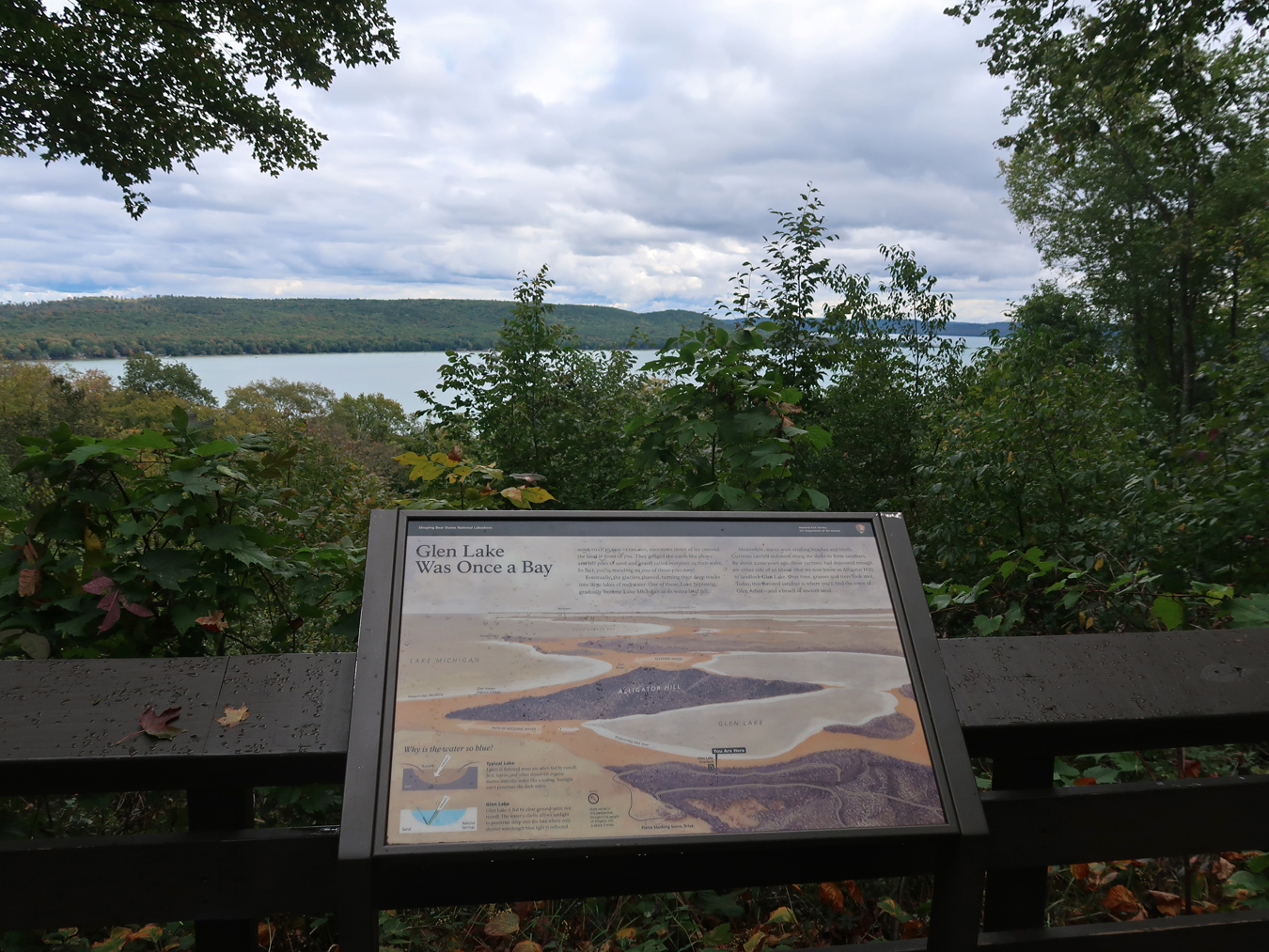
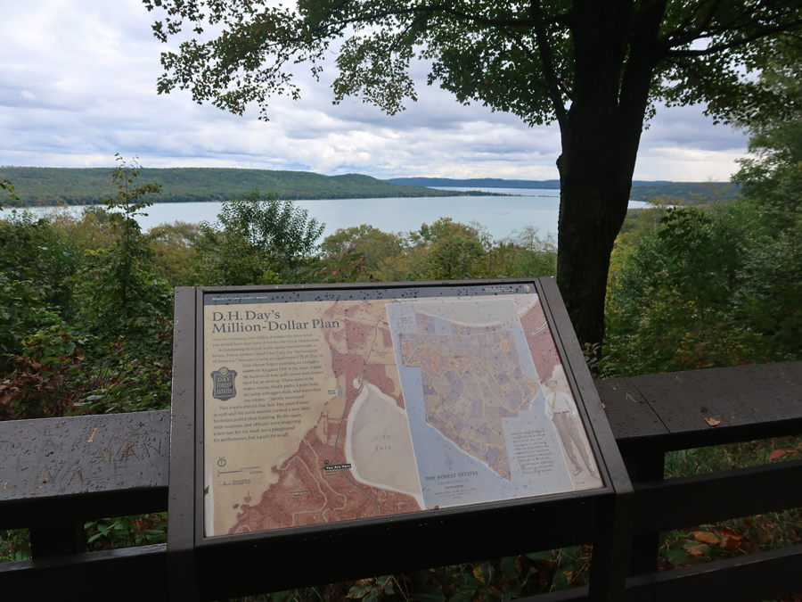
This was followed by the 7.4-mile 12-stop Pierce Stocking Scenic Drive. First stop, Glen Lake Overlook.
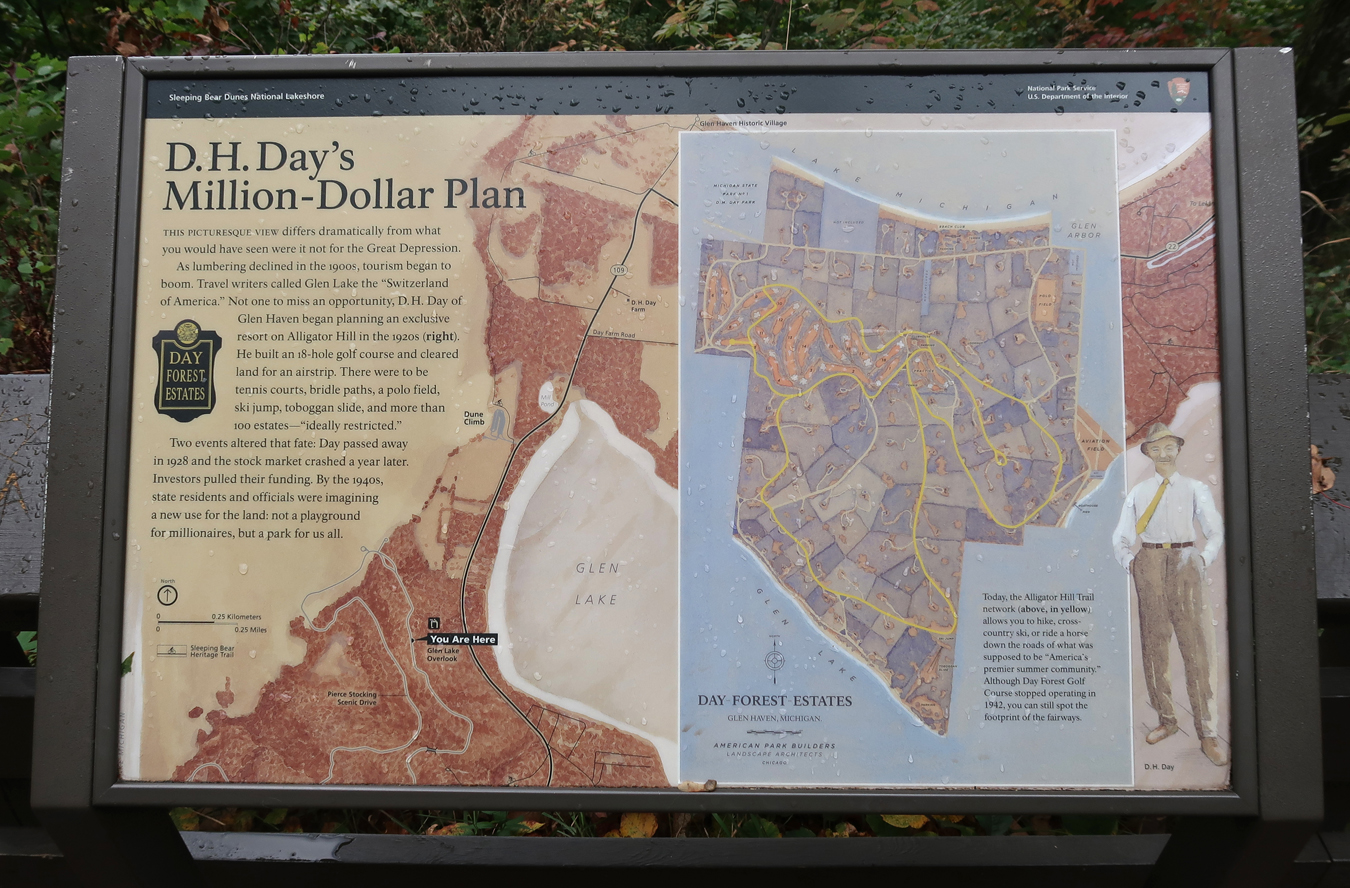
D. H. Day wanted to develop the area – thank goodness he failed!
Our last stop on the drive was the North Bar Overlook
Got our stamp at the Visitor Center, had a bowl of soup in Empire, and then did the 4.5hr drive to Dearborn MI, which is just N of Detroit.
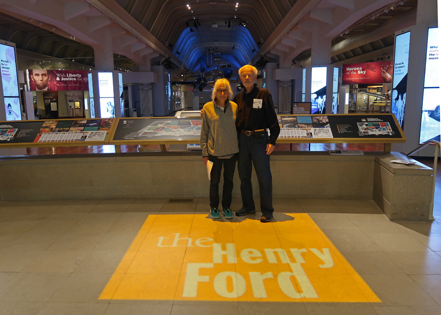
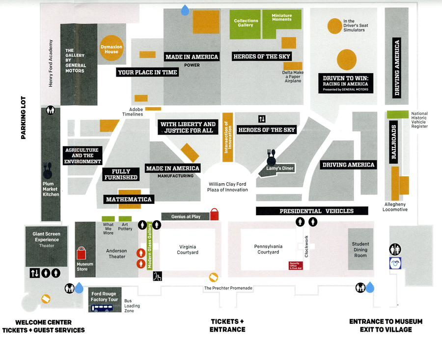
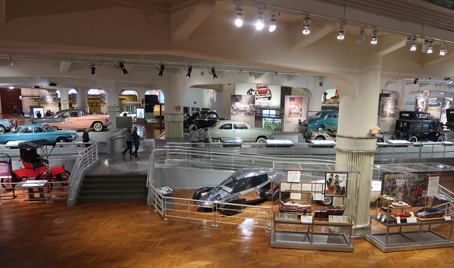
10/12 Th – We were at the Henry Ford Museum of American Innovation at 9:30am when it opened. It is one of the locations within the MotorCities National Heritage Area (NHA). We were disappointed to learn that Greenfield Village, which was decorated for Halloween, was not open. We decided to “pay the piper” for the Museum anyway and were not disappointed.
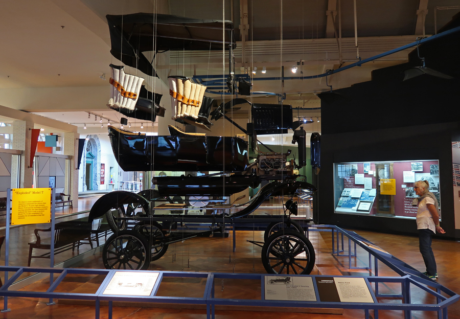
Exploded 1923 mass produced Ford Model T
The Museum has several sections, one of which is, not surprisingly, Driving America.
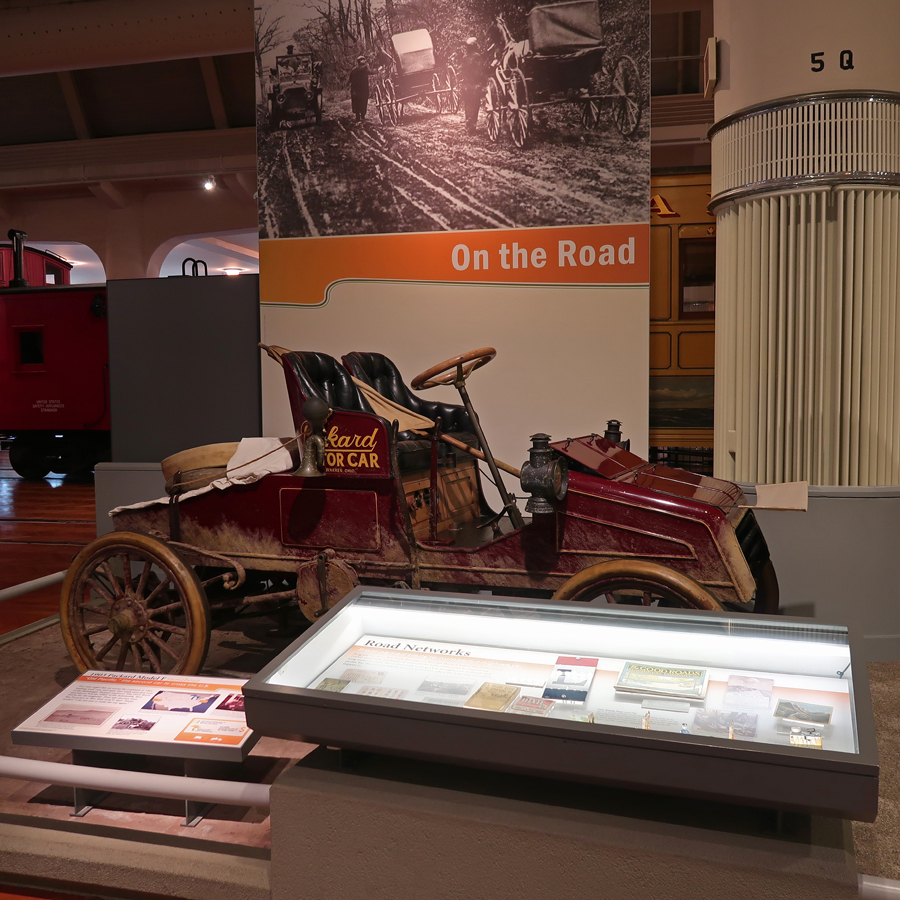
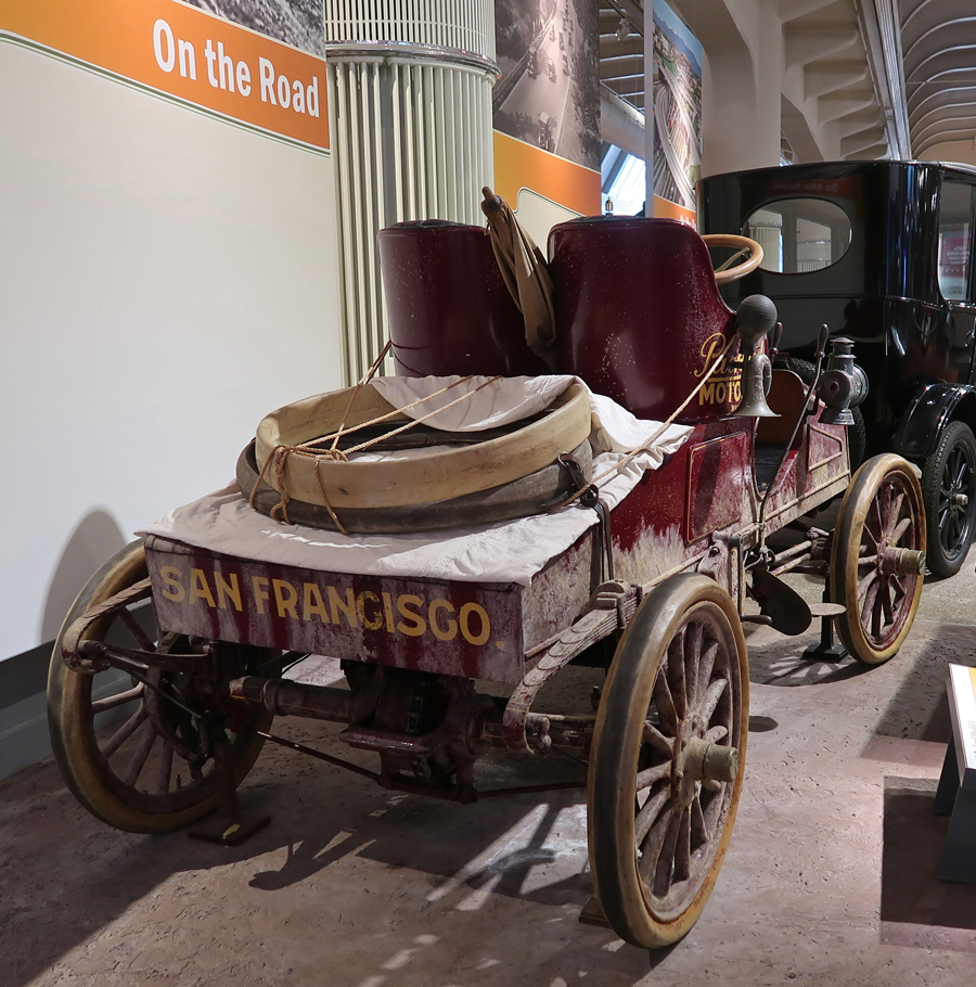
This was my favorite car – a 1903 Model F Packard Runabout (made in Warren OH). Tom Fetch and Marius Krarup (Packard employees) called their car the “Old Pacific.”
It was the second car to drive cross country from San Francisco to New York City (61-days). The first transcontinental trip was with a Winton car, which took 63-days earlier that same year. The exact number of miles is not known because of the circuitous route due to the lack of good roads. As far as I know, the record for the “Cannonball Run” (an “illegal race,” due to high speeds) from NYC to LA is 26hrs and 38 mins in 2019 during the Covid pandemic. This 1903 Packard carried a large umbrella for the sun!
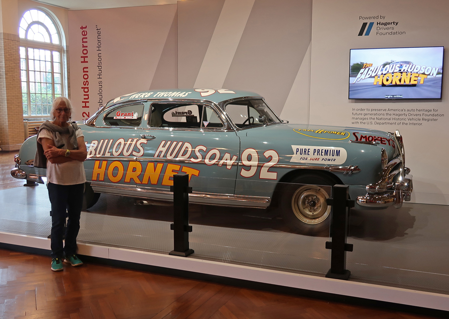
Helen’s family had a 1952 dark green used/repaired Hudson Hornet with a red hood. They called it “Cherry Nose.” It was like the Doc Hudson car in the movie “Cars.”
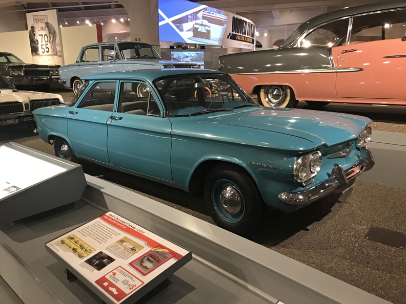
Helen had a 1962 dark grey Corvair convertible when I met her in 1967.
My car, at that time, was a 1962 Chevrolet Impala sedan, three speed stick shift on the column, that I called “Mister Good.”
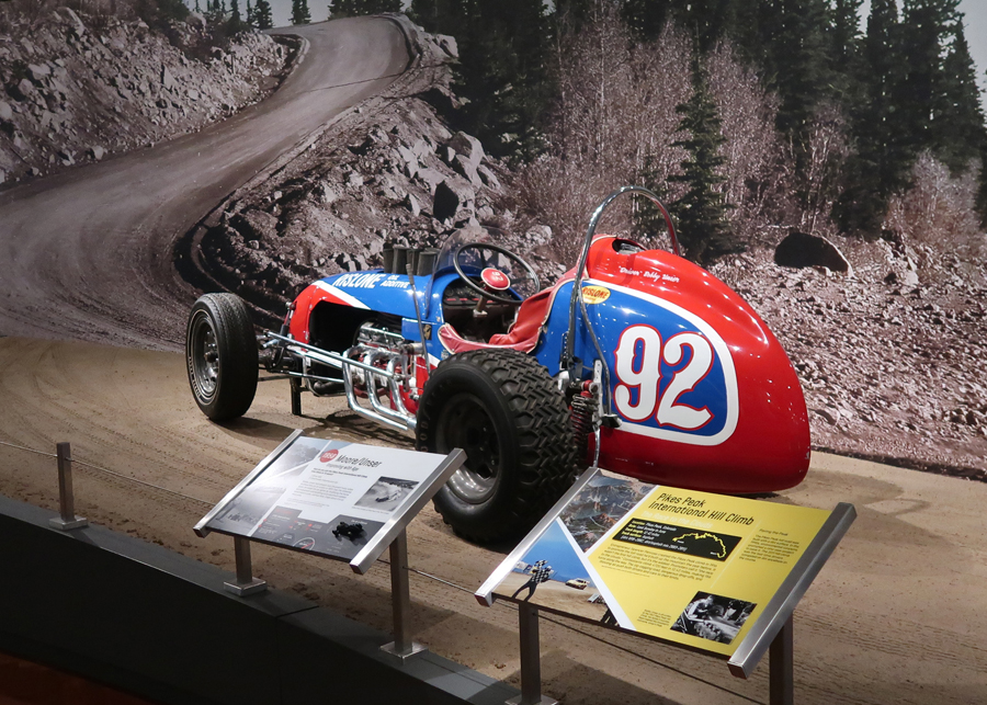
Two other cars at the museum caught my attention. The first was a Moore/Unser racecar used on the Pikes Peak International Hill Climb in 1958. The Pikes Peak Hill Climb was started in 1915, one year after the toll road was completed. It is run on the last Sunday of June each year. The 2011 “Hill Climb” was the last year when some of the route was not paved. In 2018, a VW I.D.R. electric racecar set a record of 7 minutes 57.128 seconds for the 12.42-mile course, with an elevation gain of 4,720ft and 156 turns! One reason why Electric cars have an advantage is because the gasoline engines require oxygen, which decreases with altitude.
The second car was the 1965 Goldenrod, which held the land speed record of 409.277mph for 25 years. It was powered by four Chrysler engines. The record was set on the Bonneville Salt Flats of Utah.
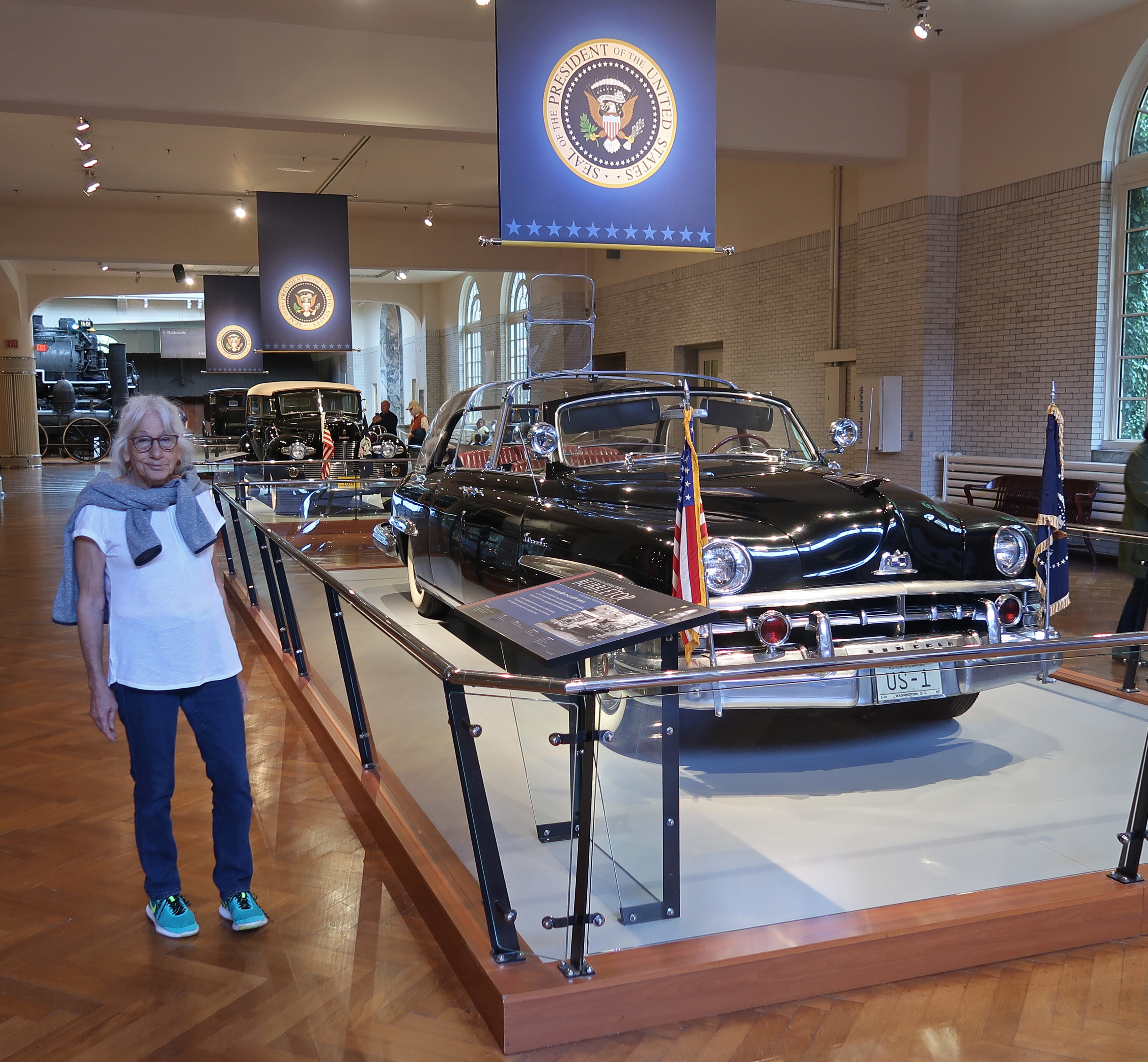
Another popular display includes a line of Presidential Limousines. The most recent was for President Reagan. Each one became bigger, heavier, and had more security features.
The following line starts with President Eisenhower’s “Bubble Top” Lincoln limousine –
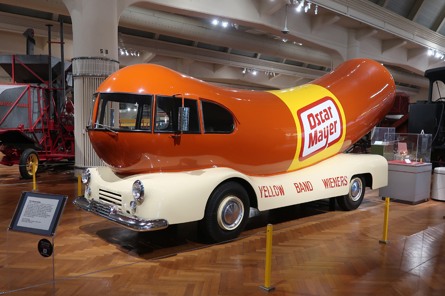
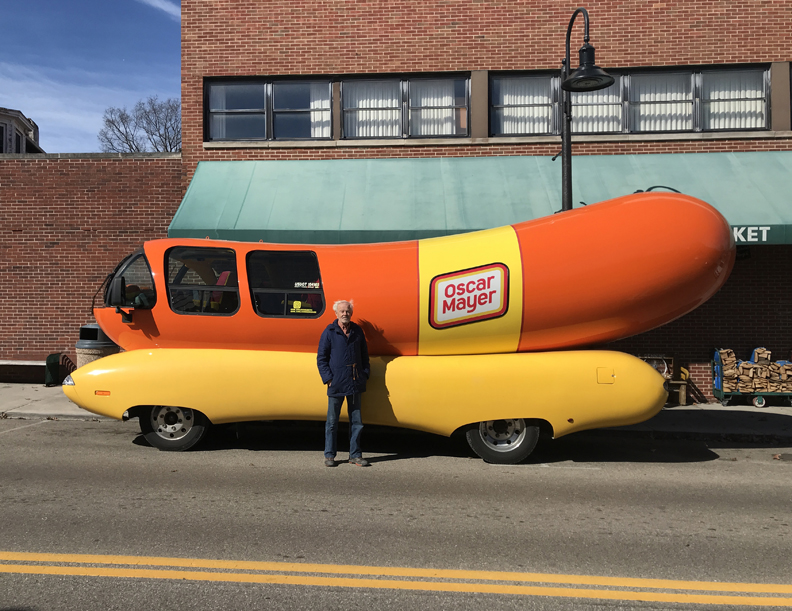
I remember getting a “Wiener Whistle” from a Wienermobile as a child in the early 1950s! This year I came across one visiting Yellow Springs OH.
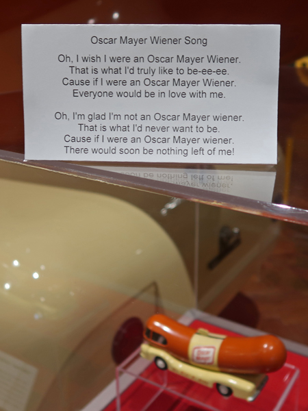
OK Everybody, let’s sing the Oscar Mayer Wiener Song!
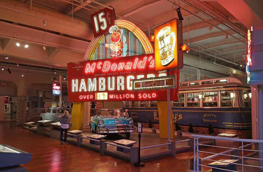
15 cent McD hamburger anyone? Note the 1956 Chevy and a Studebaker in the photo as well. You can eat lunch in Lanny’s Diner.
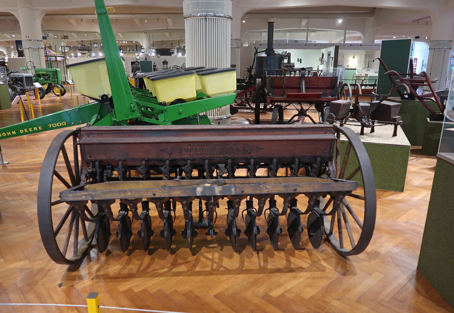
There is a large section of the museum devoted to innovation in Agriculture and the Environment. I have picked out a few photos of personal interest. The first is the International Harvester wagon built in Chicago.
An 1850 Reaper made in Brockport NY
A 1900 Superior Grain Drill made in Springfield OH
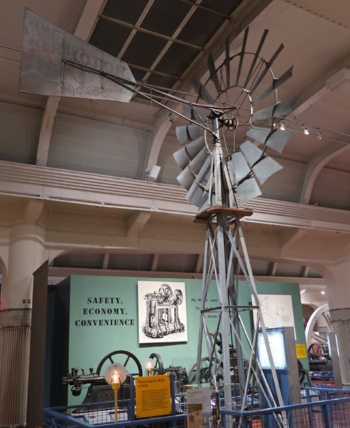
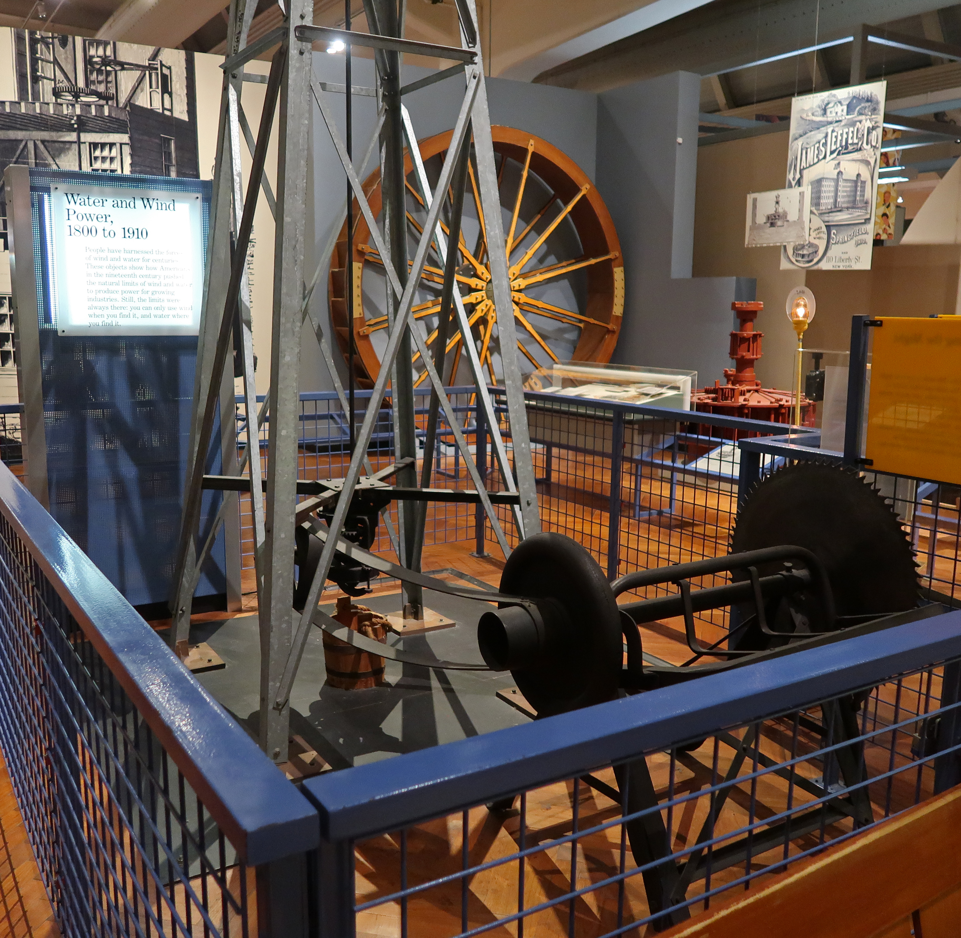
A 1910 Aermotor (Windmill) made in Chicago.
Many are still in use. I took this photo last year in West TX
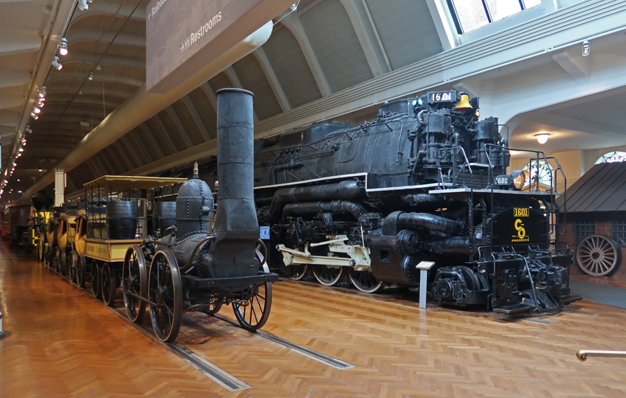
Railroads – Early RR Steam Engine and the C&O 1941 Locomotive called the Allegheny.
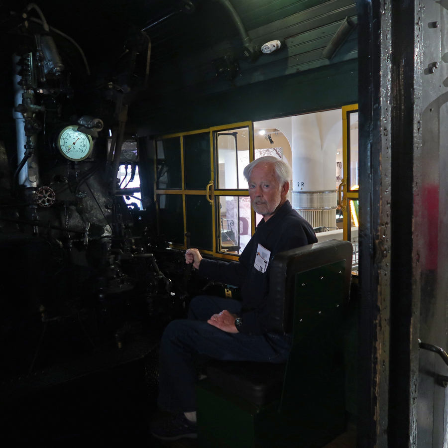
The Allegheny was one of the biggest/heaviest most powerful locomotives ever built. It is the most photographed item in the museum.
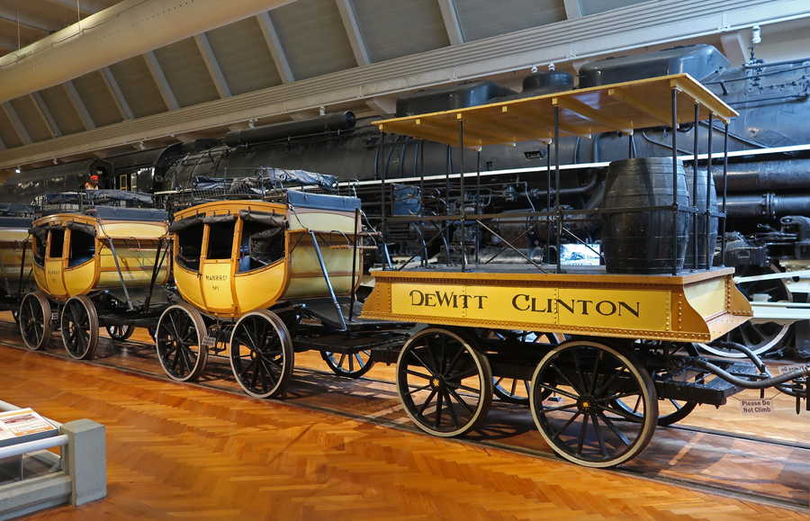
This is why passenger cars on trains are called both “ passenger carriages” and “passenger coaches.”
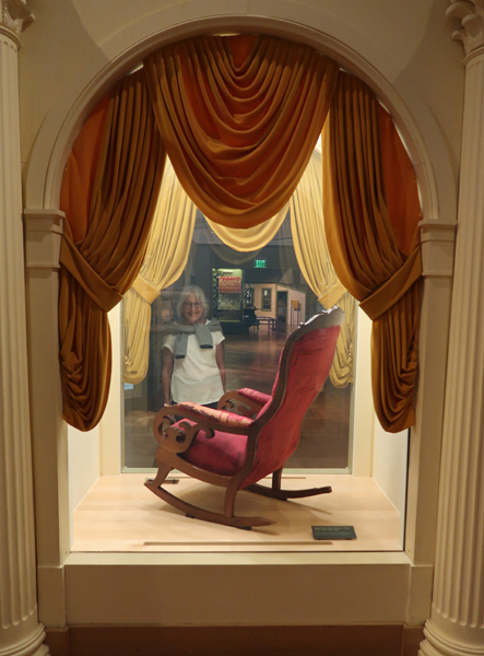
A center section of the museum was devoted to Liberty and Justice for All. President Lincoln was assassinated while sitting in this blood-stained rocker at the Ford Theater in Washington DC on April 14, 1965.
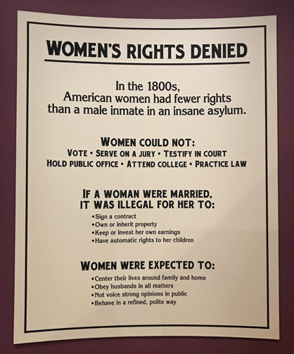
The 1800s
Some women, who were arrested picketing President Wilson in front of the White House, went on a hunger strike while in jail and were force fed.
On December 1, 1955, Rosa Parks would not give up her seat on this Montgomery AL City Bus and was taken to jail.
Another favorite section of the museum for me was the “Heroes of the Sky Exhibit.” This is an exact replica of the 1903 Wright Flyer made in Dayton OH.
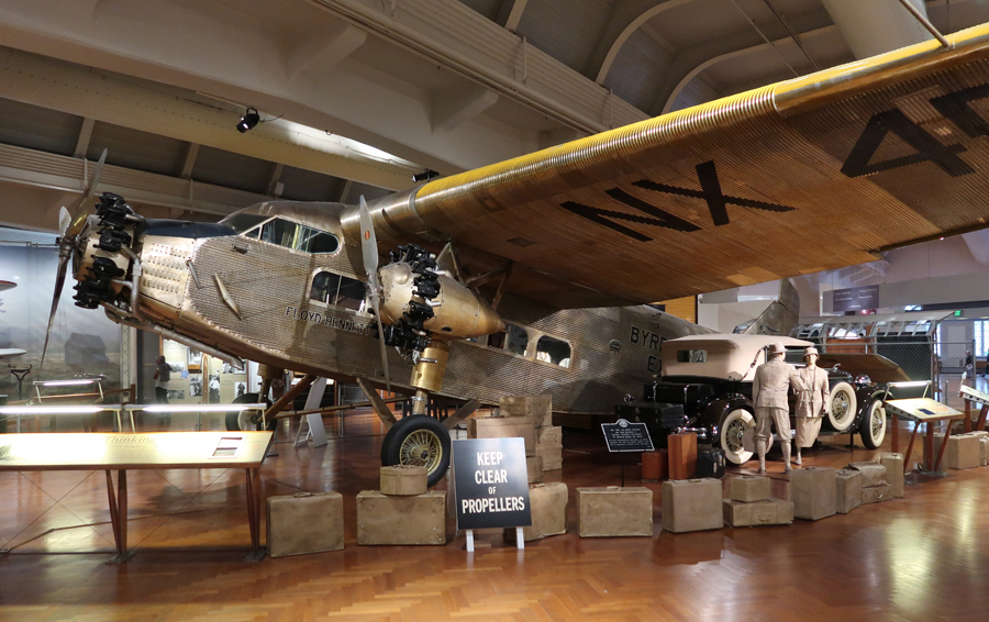
In 1926, Admiral Byrd made a disputed flight over the North Pole in this Fokker Trimotor aircraft. The expedition was sponsored by Edsel Ford and the plane was named after his daughter Josephine.
It is documented that he did make the first flight over the South Pole in 1929 in this 1928 Ford Trimotor.
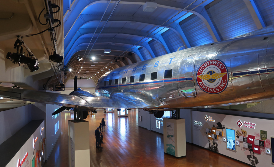
The Douglas Commercial (DC-3) was built from 1936 through 1950 and was the workhorse of the fledgling airline industry.
This was one of the first Plane-Helos that was put in operation by the Detroit News.
The Dymaxian Round Aluminum House was a 1948 prototype of a proposed mass-produced house that was made from aluminum, steel, and plastic. It looked like a great idea!
Made in America items –
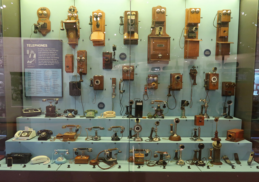
Last photo, Phone Evolution –
We hope to go back to the Henry Ford Museum of American Innovation again, when the adjacent Greenfield Village is also open.
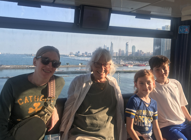
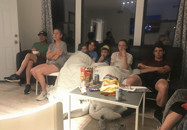
The entire family (15 people) met at a rented condo in Chicago’s Chinatown.
The space was a bit “tight” but maximized interaction!
Though the inscription clearly states that this is Confucious – it is Chinese to me.
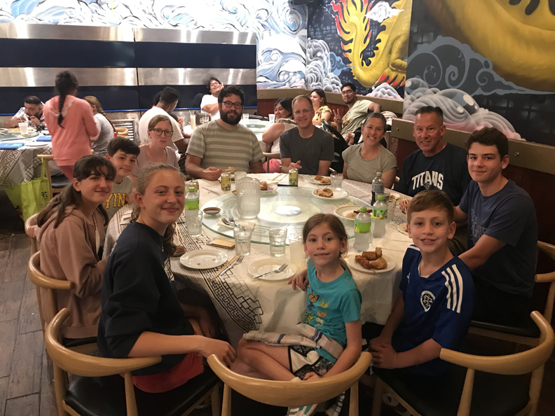
Birthday dinner at the Triple Crown Dim Sum Chinese restaurant –
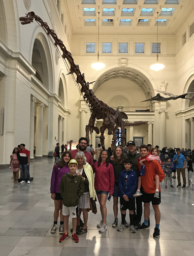
Lots of family activities – Field Museum
The Cloud Gate – better known as “The Bean.”
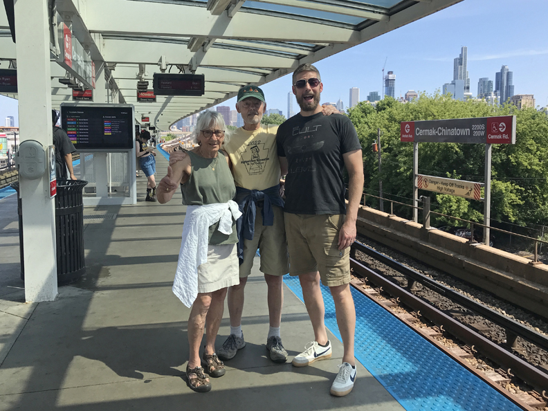
Used the L/Subway, walking, and occasionally an Uber to get around.
Cleveland Guardians 8, Chicago Cubs 6 in 10 innings – exciting game for Cleveland and Milwaukee fans
Michigan Ave Bridge – The plaque states that Rene-Robert Cavelier, sieur de La Salle and Henry de Tonti passed here in 1681 on their way from Lake Michigan to the Chicago River, to the Des Plains River, to the Illinois River, to the Mississippi River, and onward to the Gulf of Mexico. La Salle was an explorer and fur trader. He claimed the basin of the Mississippi River and tributaries for King Louie of France, naming the region “Louisianna” in 1687.
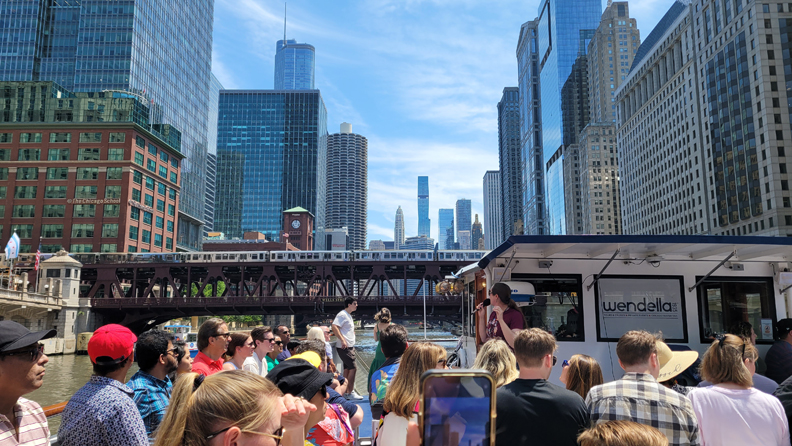
Wendella Chicago River and Lake Michigan Boat Tour –
Going through the lock into Lake Michigan
Chicago Skyline
Lots of good eats – the original Pizzeria Uno, 15-family members, plus the Irish waitress who made the seating happen!
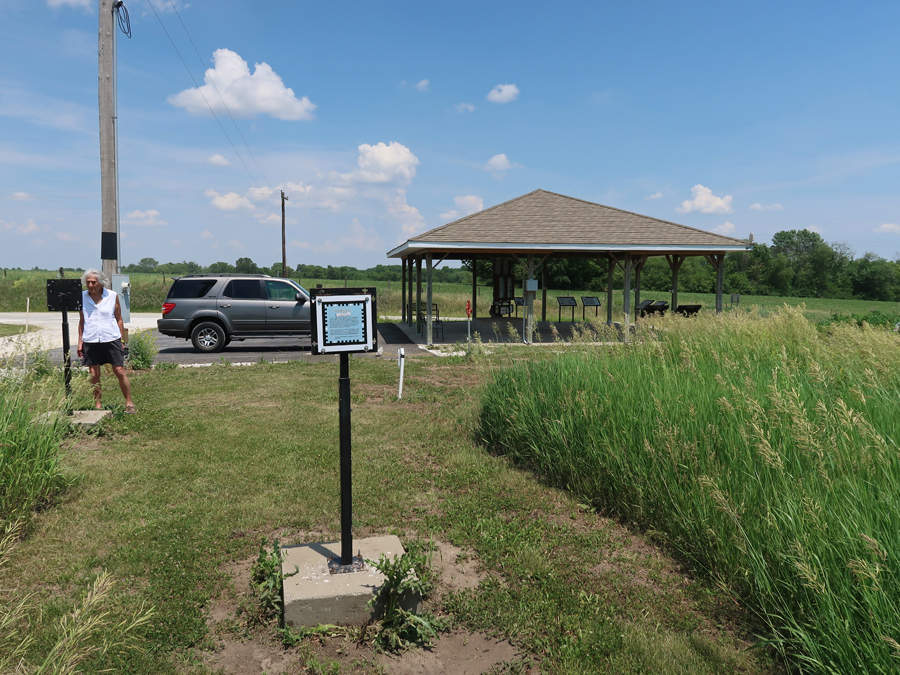
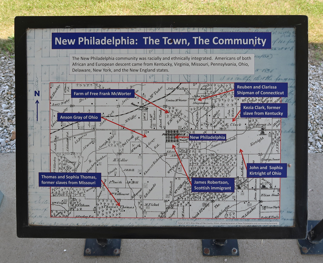
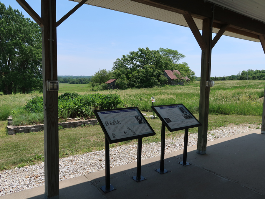
5/31/2023 – It took 7 hours to drive to West-Central IL and the integrated interracial town that “Free Frank” McWorter founded in 1836 – New Philadelphia NHS. “The first known town planned and legally registered by an African American before the Civil War.”
This site is the 424th and newest NPS Unit (12/29/2022). So, my total NP Units count rises to 424!
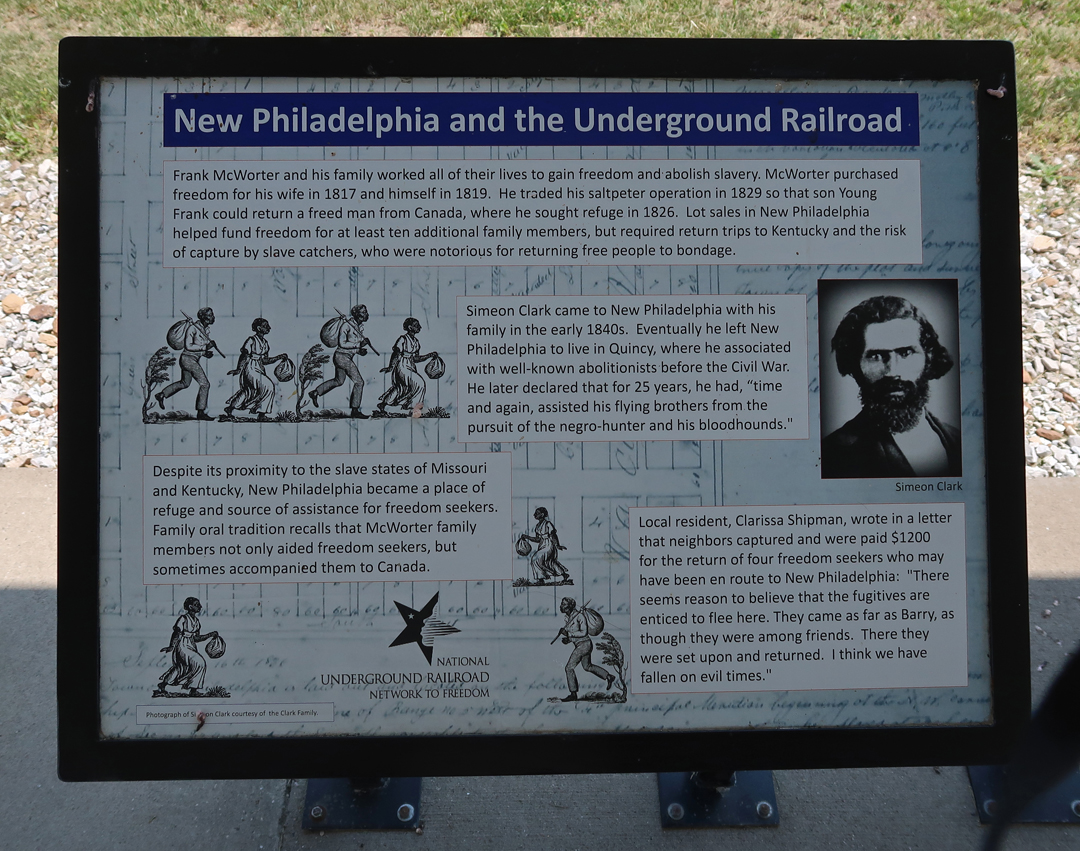
Frank was a slave in KY. He saved money from his work and a small business to first purchase his wife and then himself, then his children and grandchildren. He sold lots in New Philadelphia to get the funds to purchase his family members.
At its peak, New Philadelphia had about 160 residents in 1860.
It was a stop on the “Underground Railroad” before and during the Civil War.
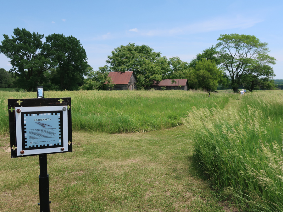
You can listen to an audio tour as you walk the loop trail through the townsite
You can get the park stamp at the Public Library in Barry IL – 2 miles west
The McWorters attended the First Baptist Church in Barry
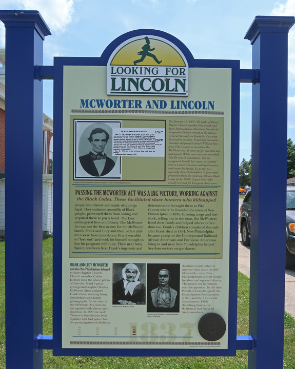
“Free Frank” and Lincoln –
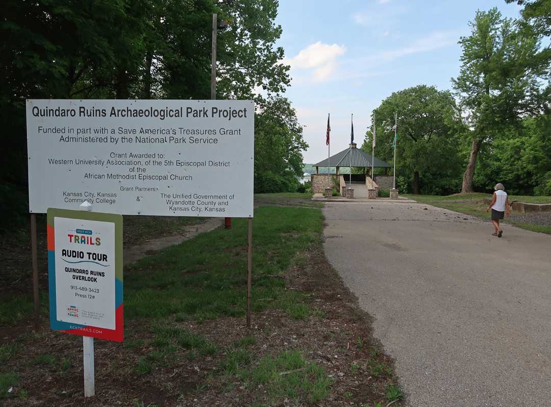
We arrived at the Quindaro Townsite National Commemorative Site (NCS) in Kansas City KS as it was starting to get dark.
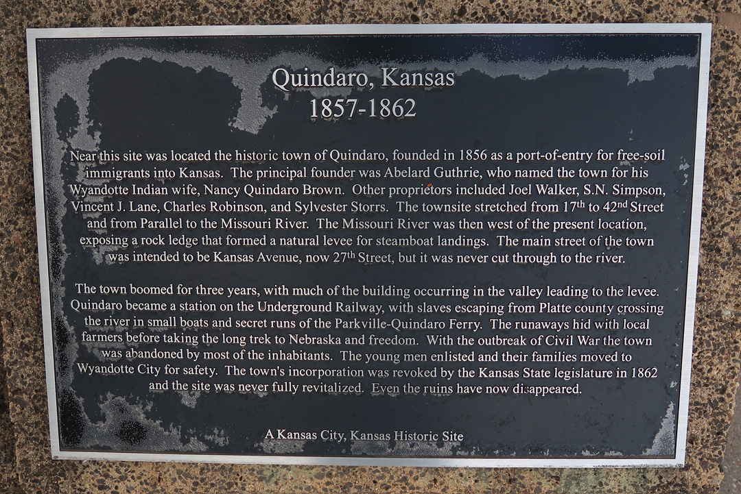
Quindaro was on the banks of the Missouri River below this overlook. The opposite side (east side) of the river was MO, a slave state.
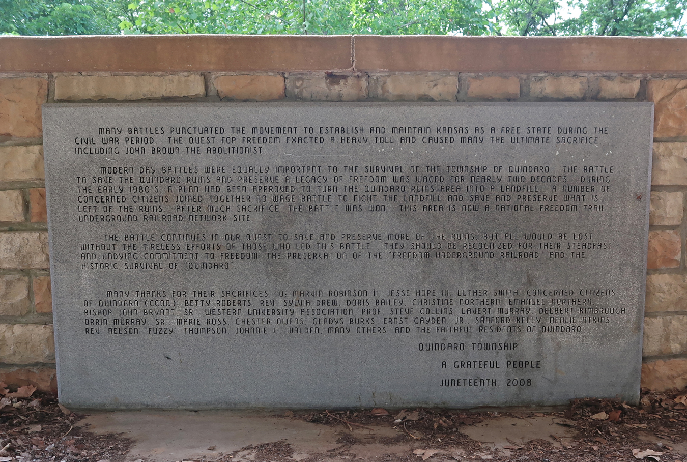
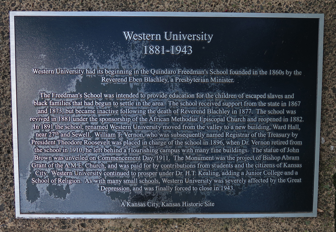
Plaques at Overlook – National Freedom Trail Underground Railroad Network Site
John Brown was a hero to the people of Quindaro. The statue was erected in 1910.
The town “officially” existed from 1857 – 1862
Quindaro Freedman’s School was started here in 1860. The school closed in 1877 but was re-activated by the African Methodist Episcopal Church (AME) in 1882. In 1891 it was renamed Western University and continued to educate primarily blacks until it was forced to close in 1943.
Spent the night in KC
6/1 Th – 8.5hrs and 610mi to Nick & Linda’s home in Arvada outside Denver. We had a family dinner at Jordano’s Italian restaurant that evening.
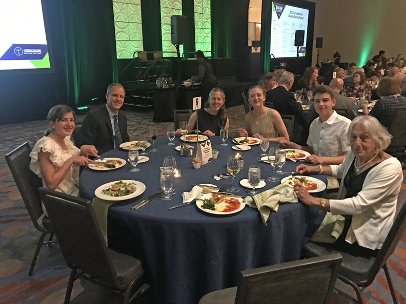
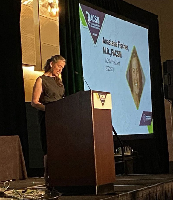
6/2 F – Had the Sequoia serviced in the morning and “hung out” with Nick & Linda until we left for the American College of Sports Medicine (ACSM) convention banquet at the Hyatt Regency.
Stacy was passing the gavel after serving a year as President of ACSM
6/3 Sa – up early, met Leaf & Jeff at their home in Loveland at 8am for a Rocky Mountain Excursion.
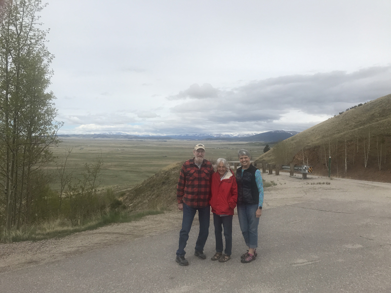
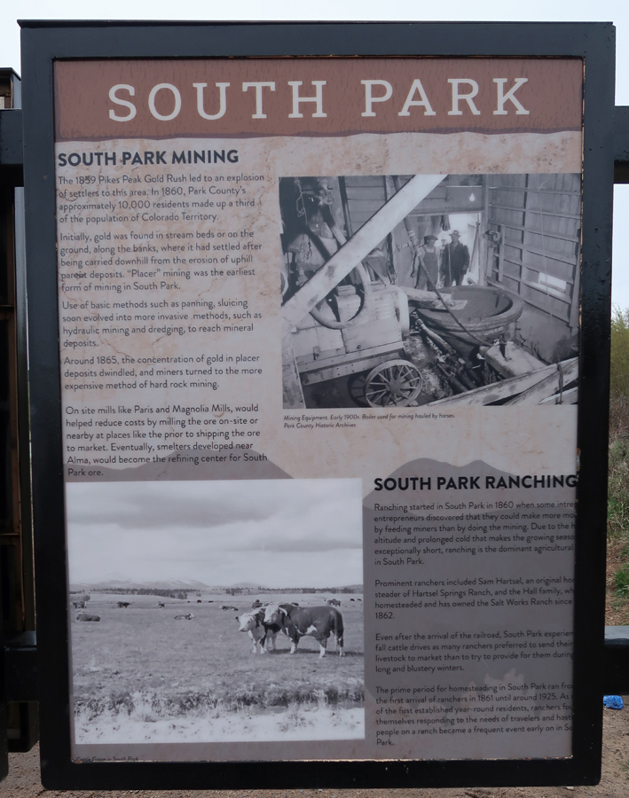
We drove to Kenosha Pass on Rt 285; it is one of the entrances into the South Park National Heritage Area.
Spaniards called South Park Valle Salado (Salt Valley) for the salt springs used by the Ute and other tribes. The French, who were in the area as early as the 1700s, used the Creole name Bayou Salade (Salt Marshes). American trappers, or mountain men, who began filtering into South Park in the first decade of the nineteenth century, used a mix of the French and Spanish and titled the valley Bayou Salado for the salt springs and the salty, standing water that grew rich, high protein grasses favored by big game. The name South Park was taken from the French parc, meaning game preserve and referring to the area’s vast herds of wildlife. According to historian Virginia McConnell, the name South Park was first used in the 1840s when a chain of mountain valleys—North Park, Middle Park, and South Park—were becoming a popular hunting ground for American hunters.
South Park is a vast grassland basin, 50 miles long and 35 miles wide, situated in the geographic center of Colorado. In the basin, the elevation of the National Heritage Area is about 8,500 feet, while on the surrounding mountain peaks it rises to as high as 14,286 feet. The significance of South Park’s natural resources is directly linked to its high altitude. From canyons to grasslands to mountain summits, this landscape boasts a wealth of natural resources, some of which exist nowhere else in the world. More than 115 rare or imperiled plant and animal species have been documented in South Park, nearly 50 of which are considered globally significant.
At the peak of the fur trapping era between 1820 and 1840, some 3,000 mountain men are thought to have been in the Rocky Mountains. Among those known to have trapped in South Park were Kit Carson, Joseph Meek, John Smith, and Dick Wootton, who is said to have gathered 1,000 pounds of skins during one season. By 1840, with the beaver population decimated and changing tastes in fashion, the fur trade waned.
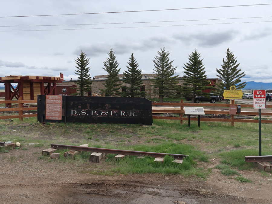
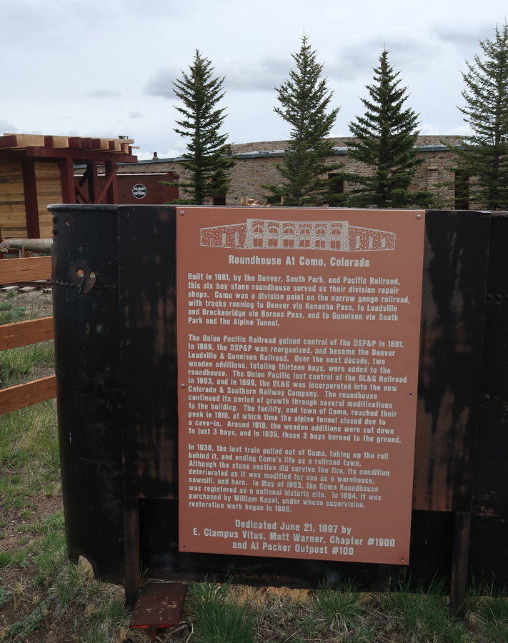
Our first stop was in the town of Como
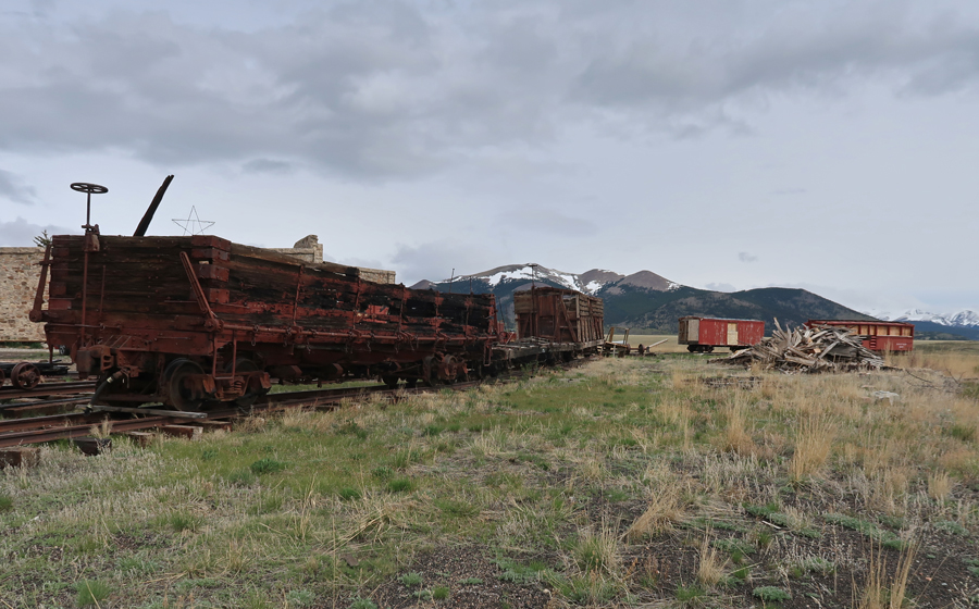
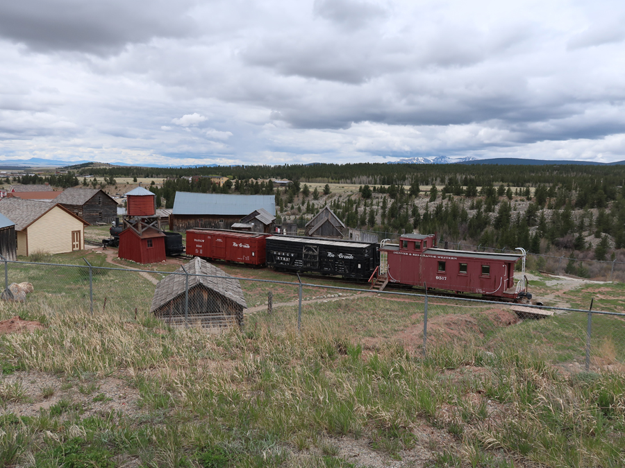
Como was a railroad town, 1881-1938
Como Roundhouse
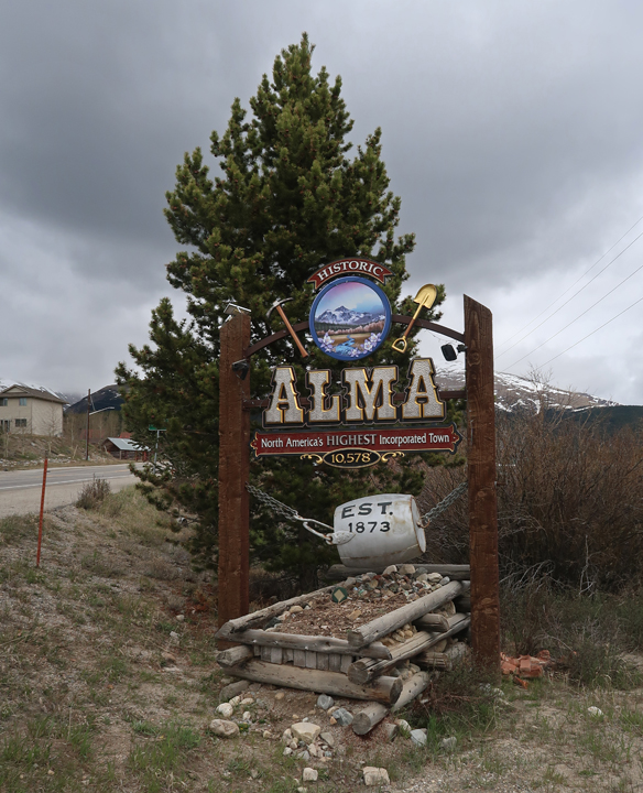
Our second stop was Alma (1873), the highest incorporated town in the U.S. – 10,578ft elevation
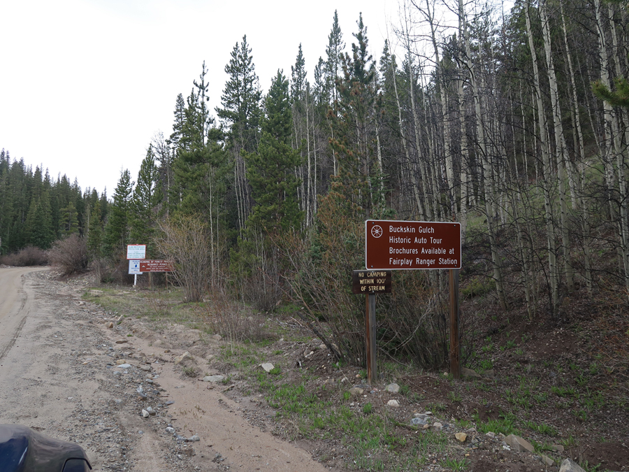
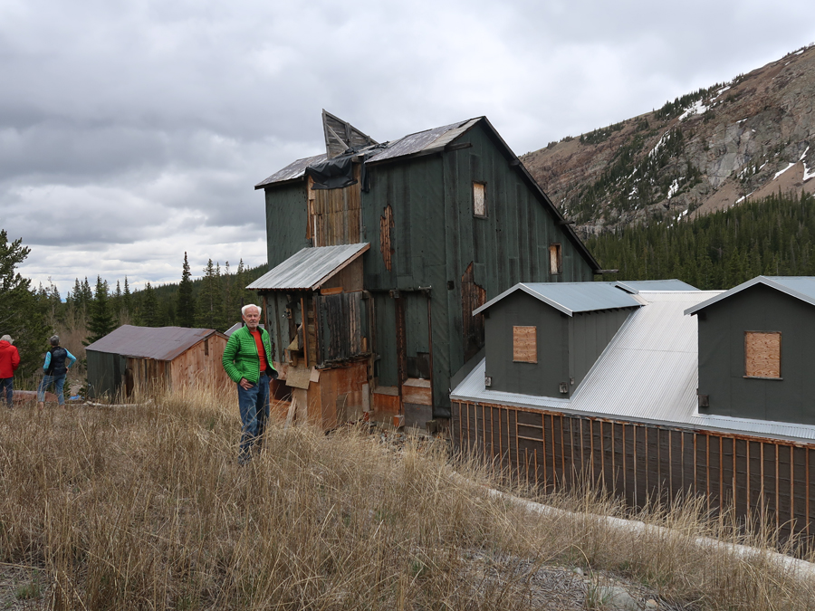
Alma was the supply and service center for Park County mines and the smelting center of South Park. The town was established at the junction of Buckskin Creek and the South Platte River seven miles north of Fairplay as a result of new silver discoveries. The remains of several mines can be found along the Historic Buckskin Gulch Auto Tour Road (gravel).
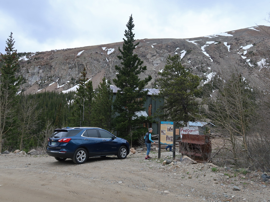
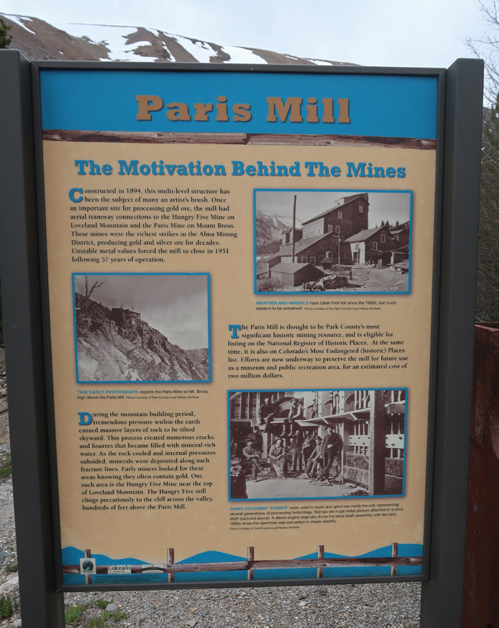
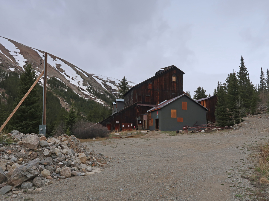
The Paris Mill Mine is in the process of restoration
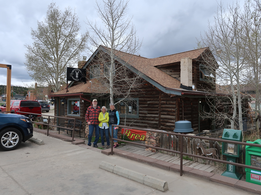
Our next stop was in Fairplay, in the center of the South Park NHA. South Park was one of the richest sections of the Colorado Mineral Belt. Intrusions of gold, silver, lead, and other minerals lead to extensive mining throughout the Mosquito Range.
South Park City Museum – is a historic 1880s Gold Rush town that’s now a museum with more than 40 buildings.
The Old Park County Courthouse (1874) housed county court functions for 132 years and continues to actively serve the public today.
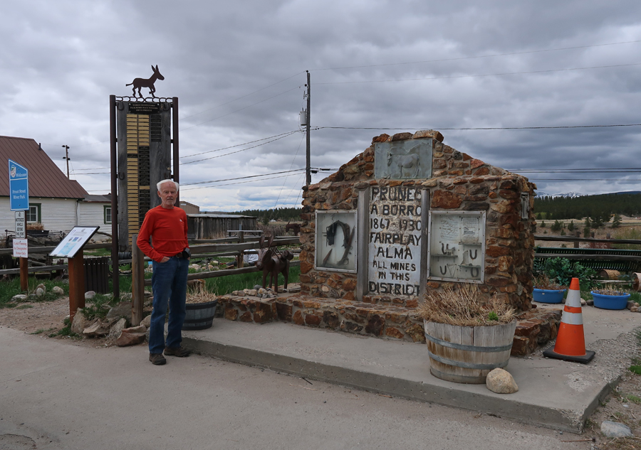
Monument to Prunes A Burro 1867–1930, Fairplay, Alma, All Mines in this District. The monument is adorned with mining tools, ore samples, and a winner’s board for the World Championship Pack-Burro Race that started here in 1949. Burros were used to help miners carry gold ore. They were used to carry anything heavy and could be trusted to navigate narrow trails without dropping valuable loads. Before freight wagons could navigate these trails, burros carried millions of dollars worth of ore out of the Colorado mountains. Many miners bonded with these animals but Prunes in particular became a Park County legend. He worked at almost every local mine during that period. The last mine he was said to work at was the Hocking Mine in Mosquito Gulch.
Had a great lunch at Mr. Burro Café with Jeff and Leaf.
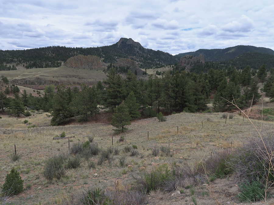
Interesting rock formations and the Mosquito Mountain Range.
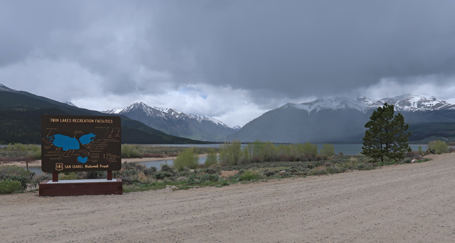
Passed through Twin Lakes near Mt Elbert, the HP of CO at 14,433ft, which I climbed with my brother Pat in 1990
Stopped briefly in Leadville, a famous silver/gold mining town of 30,000 people in the late 19th century. At 10,152ft, it was known as Cloud City, and is a National Historic Landmark.
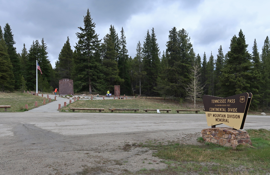
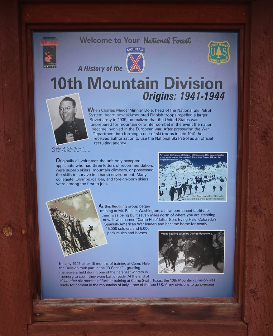
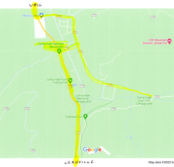
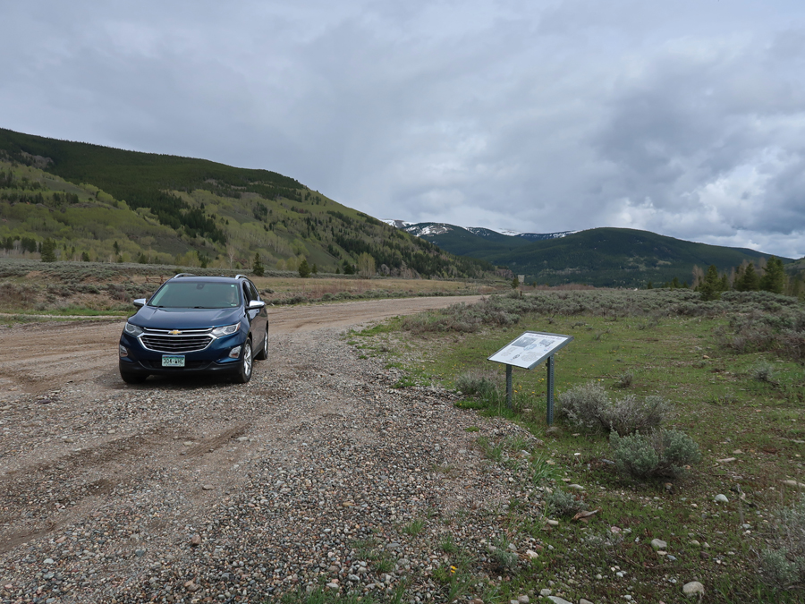
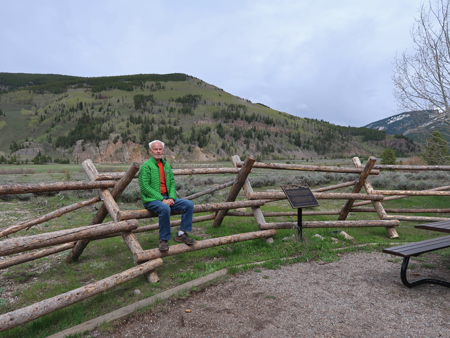
Driving North, Rt-24 climbs to 10,424ft at Tennessee Pass. There is a nice memorial there to the 10th Mountain Division, which trained at Camp Hale a little further North.
The following markers tell the story of the 10th Mountain Division
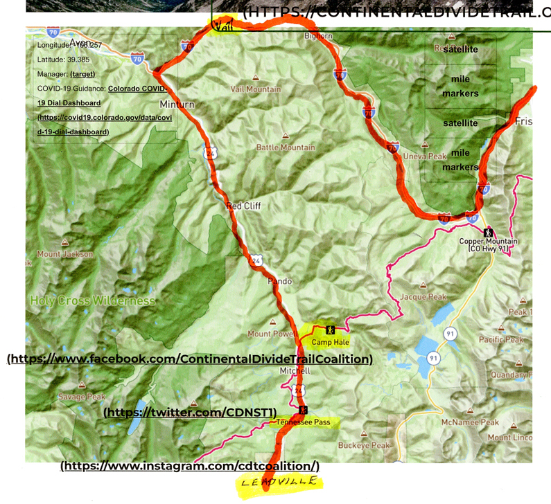
Walked a short distance on the Continental Divide National Scenic Trail (CDT). The CDT extends 3,028-miles from Canada to Mexico and is considered one of the greatest long-distance trails in the world. The CDT is one-third of the “Triple Crown of Hiking.” That is, the CDT, Appalachian Trail (AT) 2,194-miles, and the Pacific Crest Trail (PCT), 2,653-miles. The CDT is in Red on this map [our driving route in orange] –
This section of trail at Tennessee Pass is also part of the Colorado Trail and the American Discovery Trail.
Dropped over one thousand feet to the Eagle River Valley (9200ft) that is/was the location of Camp Hale, which was the center of mountain and winter warfare training developed by the US Army during World War II.
President Biden declared Camp Hale and the Continental Divide Trail a National Monument, administered by the USFS, in 2023. Entrance to the Camp Hale –
The camp included more than 1,000 buildings and structures as well as parade grounds, weapons ranges, and other spaces needed by the Army. There is a self-guided tour with 10 stops that take you in a loop around Camp Hale. Each stop has an interpretive sign describing that area, for example, the Field House.
Rock Climbing Area
The Viking Battalion
Sign describing the history of the Eagle River Valley, note the CIA use 1950s – 1960s.
Tibetan Freedom Fighter Training
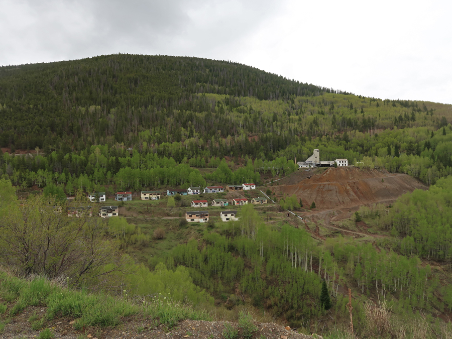
We then continued North on US-24 past scenic old mine town/sites.
And then stopped in Vail – Monument to the “Ski Trooper.”
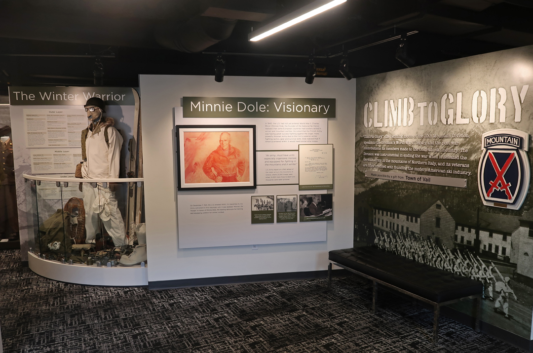
The Colorado Snowsports Museum and Hall of Fame is in Vail. It has a major display on the 10th Mountain Division and Camp Hale.
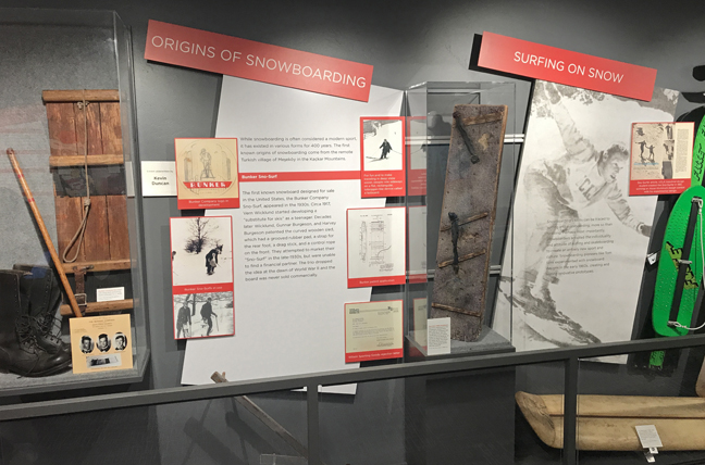
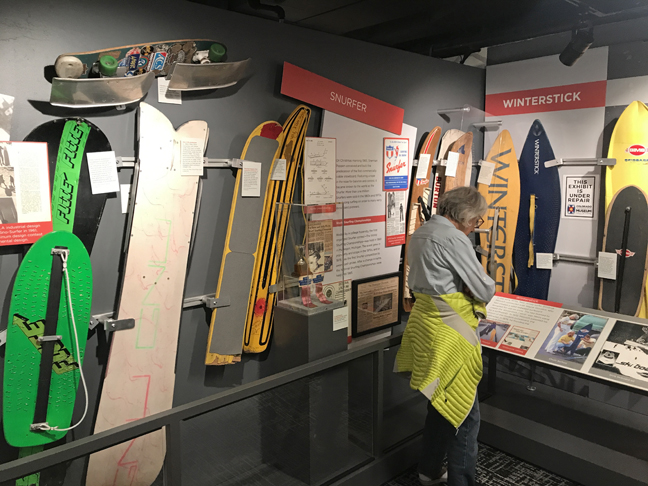
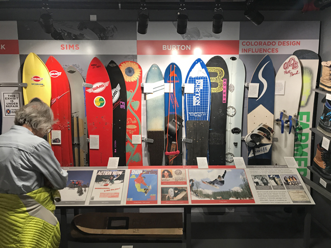
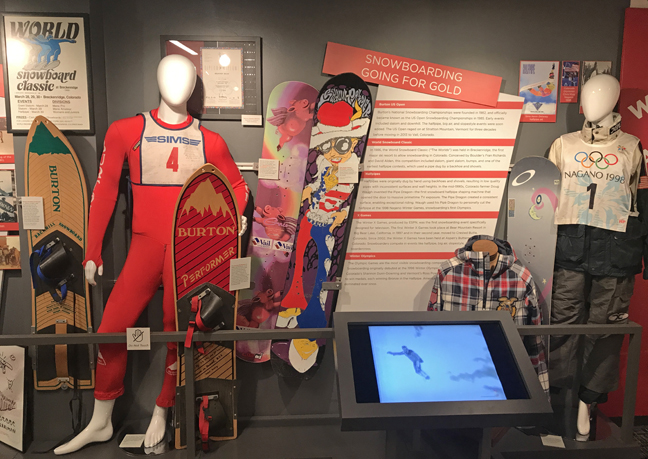
One example from the Snowsports Museum – the history of Snow Boarding
Stopped for dinner in Idaho Springs at Beau Jo’s – the Original Home of Colorado-Style Pizza!
6/4 Su – Relaxing Rainy Day with Jeff and Leaf
6/5 M – Left at 6:30am for the Beaver Meadows Visitor Center of Rocky Mountain NP. We had to get there before 9am, because after that you must have a Timed Entry Reservation for entry! I had one for 11am ($2 online) but that would not have allowed us to get through our agenda for the day.
I had wanted to do a hike in Glacier Basin, however, I discovered that you needed a separate timed entry pass to get on the Bear Lake Road to that area! This photo, taken at the visitor center, shows the topography of the park –
It was supposed to rain all day, but when we entered the park, it started to clear. Overlook for view of Long’s Peak (14,259ft). Unfortunately, clouds obscured the mountain.
I had not planned to drive the length of Trail Ridge Road to the Alpine Visitor Center, but we could not pass up the beautiful weather! Forest Canyon Overlook – NP is known for its Alpine Scenery.
Lava Cliffs
Black Ice at highest point of Trail Ridge Road – 12,183ft. It is the highest continuous paved road in the U.S.
Alpine Visitor Center parking lot
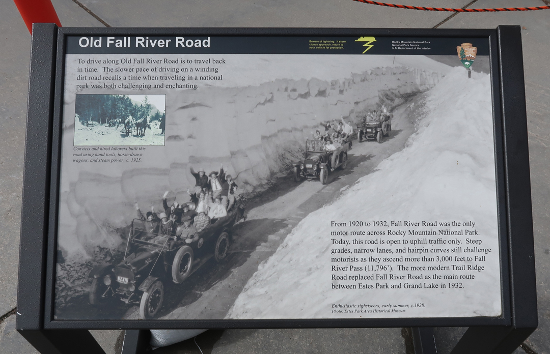
Old Fall River Road, 1920-1932, you can still drive it (one-way) during the Summer.
My first visit to Rocky Mountain NP was in 1966 with my mother and three brothers – Mom on Trail Ridge Road
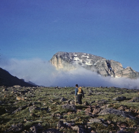
The following year, my friend Jay and I did our first big mountain climb on Long’s Peak (14,259ft), while on our 10,000-mile loop road trip through the western states and Canada. Long’s Peak is the northernmost of the CO fourteeners (58 mountains in CO exceeding 14,000-feet) and the highest peak in Rocky Mountain NP.
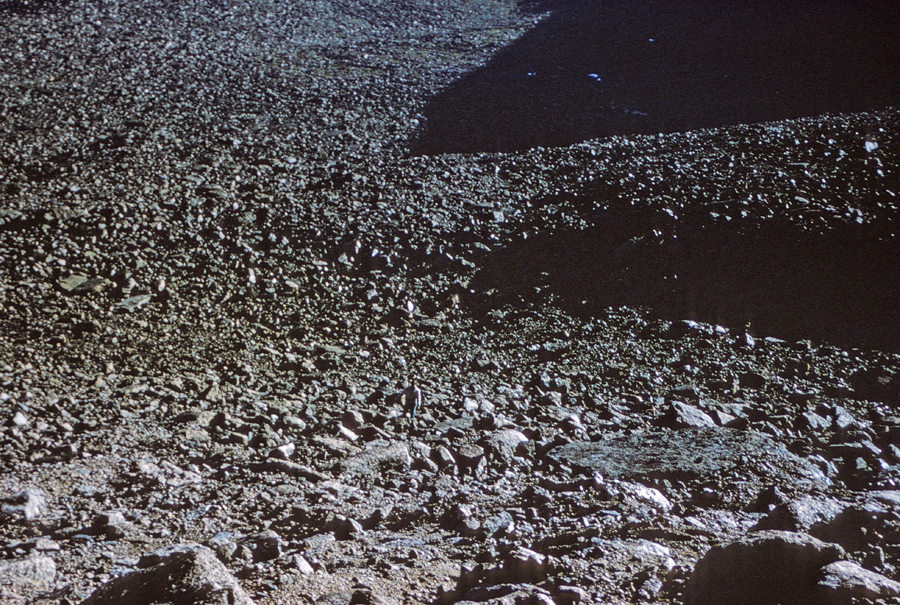
The Boulderfield – I am in center bottom
We started before sunrise on the 15-mile roundtrip hike/climb (5,000 feet of elevation gain).
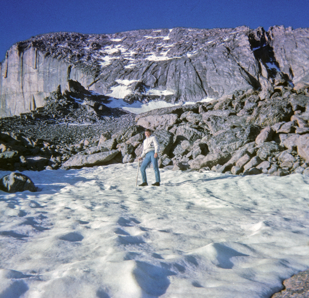
We did the climb up by way of the “Cables Route.” View of Chasm Lake from edge of East Face in 1966 when I climbed to this point by myself. Note the basketball shoes, novice climber! The cables were removed by the NP in 1973.
I became “mountain sick,” due to altitude, and threw up on the summit!
View of the “Home Stretch,” as we started our descent toward the “Keyhole.”
In 1968, I returned with Helen and my three brothers. To make it a little easier, we camped overnight at Jim’s Grove (~11,500ft elevation).
The next day when we got to the Boulderfield (12,660ft), Pat had altitude sickness. So, I stayed with him while Helen, Joe, and Mike did the climb by way of the Keyhole Route. John Wesley Powell was the first to climb this peak in 1868. This climb was 100 years later!
In 1985, my cousin Nick, his daughter Lisa and son Chris, Stacy, Peter, and I camped in Glacier Basin.
The next day we did the 8.9-mile roundtrip hike to the top of Flattop Mtn (12,324 ft).
Stacy at Panorama of Peaks Overlook on Trail Ridge Road – 1985.
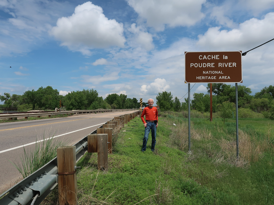
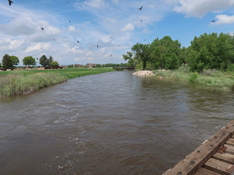
It took about two hours to drive from the Alpine Visitor Center to Cache la Poudre River National Heritage Area (NHA). The NHA follows the river from Roosevelt National Forest to where it empties into the South Platte River. It is Colorado’s only Wild & Scenic River.
Stopped at the Colorado Welcome Center (off I-25) in Fort Collins to pick up literature and get the NHA stamp.
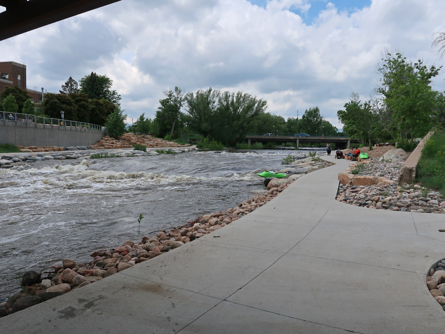
Our next stop was the Fort Collins Paudre River Whitewater Park
Antoine Janis Marker in Laporte – he was the first settler in Larimer County CO
An Overland Trail Stage Stop marker is also in Laporte
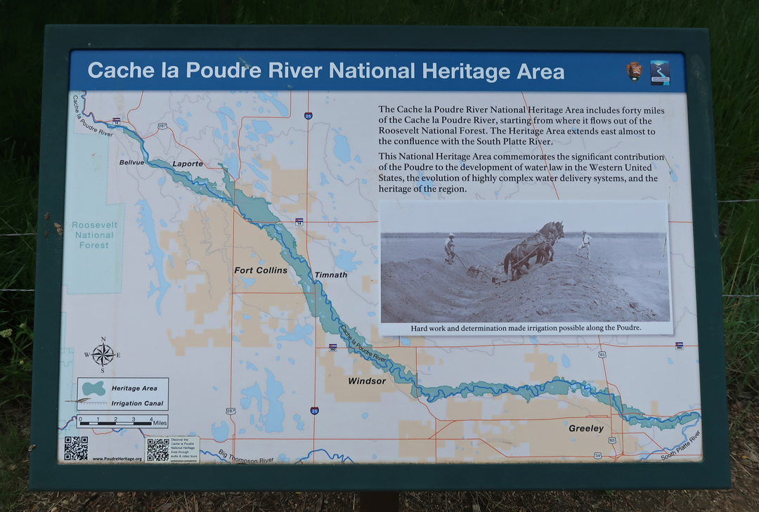
Nice map of the Cache la Poudre River NHA
The river was named by trappers who would cache (store) their powder near here (1836).
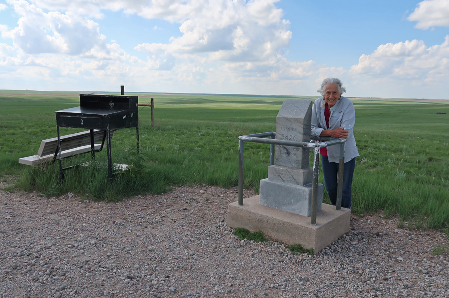
Started the day in Denver, visited Rocky Mountain NP, Cache la Poudre River NHA (Fort Collins CO), and arrived at Panorama Point, the highpoint of NE (5,424ft), at 6:30pm.
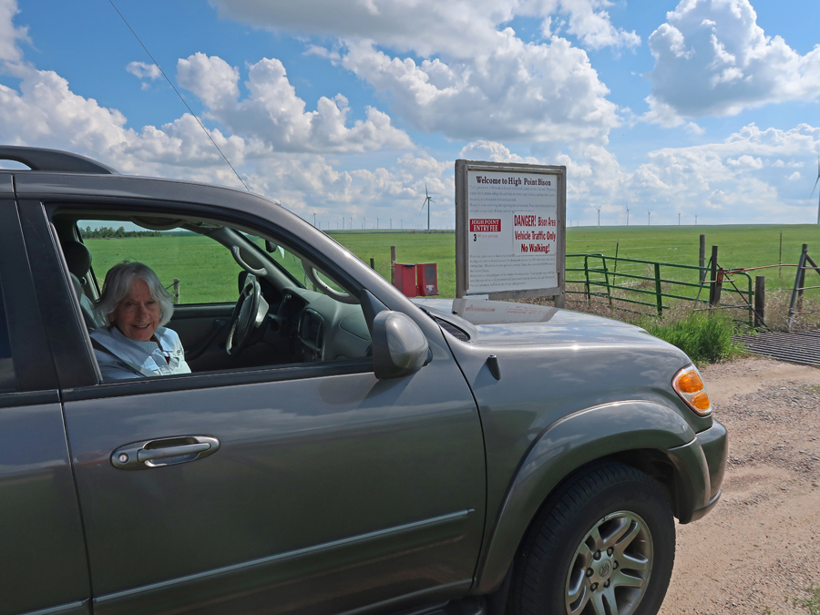
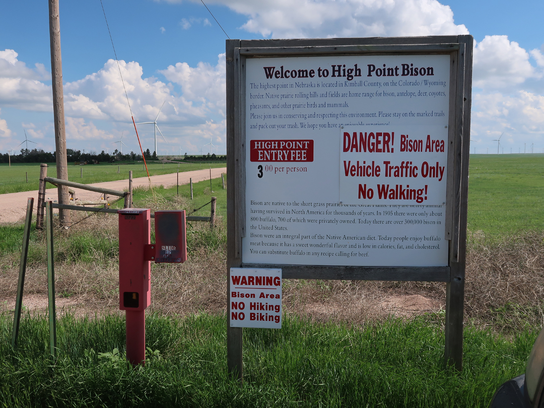
It is on a Bison Ranch and now has a $3 entrance fee. The owners are calling it “High Point Bison.”
This was Helen’s 34th state highpoint.
The NE-CO-WY Tri-State Marker is one-mile away.
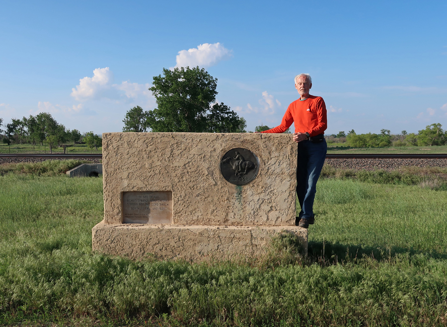
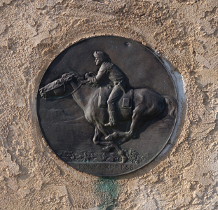
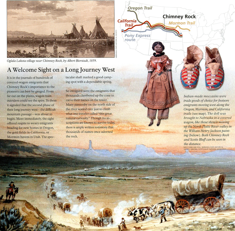
We then drove north to Scott’s Bluff and the Oregon Trail. The Mormon Pioneer NHT, California NHT, Oregon NHT, and Pony Express NHT all followed the same route through NE. The Pony Express Trail only operated for 18 months, from 1860 to 1861. At the time, it was the fastest way to get mail from the east to the west. More specifically, from St Joseph MO to Sacramento CA.
The transcontinental telegraph, which was finished in October 24, 1861, led to the demise of the Pony Express.
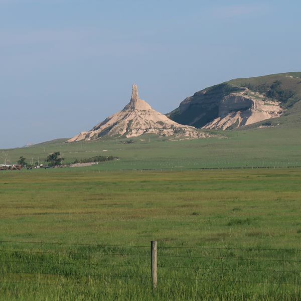
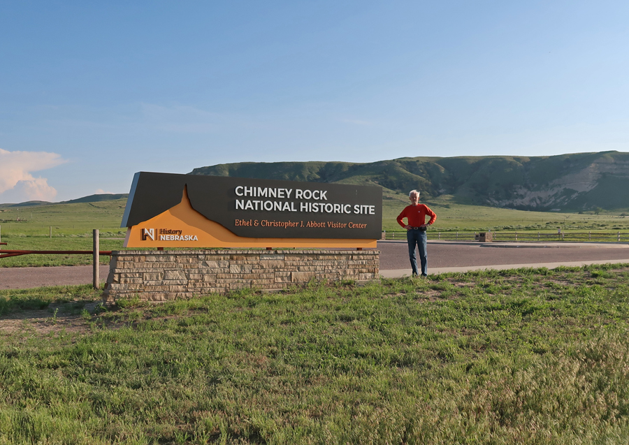
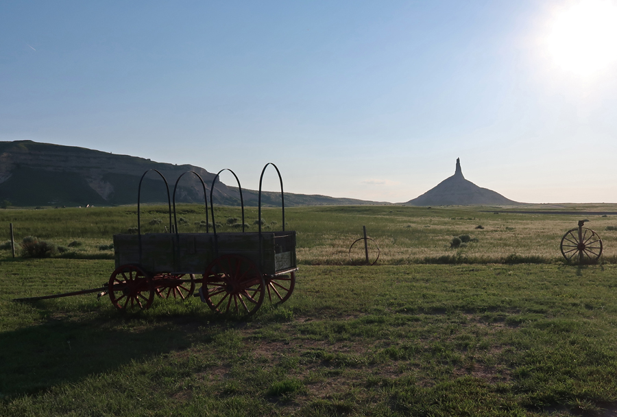
We arrived at Chimney Rock NHS (Affiliated NP Unit) as the sun was setting.
Important Waypoint on the Oregon, California, Mormon, and Pony Express National Historic Trails
The site is administered by the state of NE
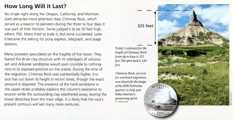
When wagon trains reached this landmark, they knew they had reached the Rocky Mountains. So, there was first excitement and then the realization of the difficulties that lie ahead.
How Long Will it Last?
Prairie Sunset
Stayed the night in the Chadron NE Super 8
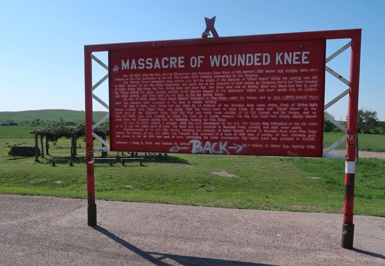
6/6 Tu – Left at 7am and arrived at the Wounded Knee Creek Massacre Site on the Pine Ridge Indian Reservation in SD at 8:30am. These signs tell the story of the massacre –
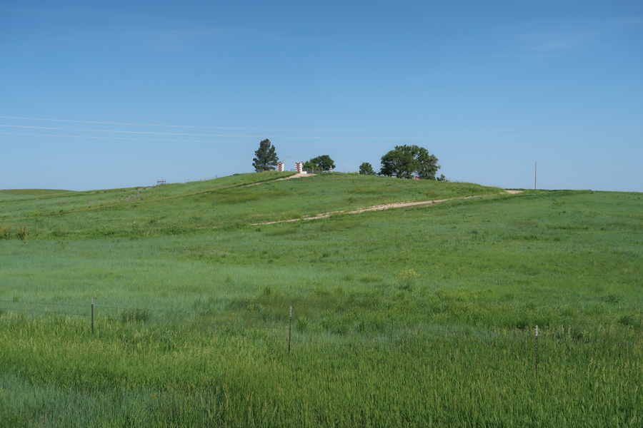
Wounded Knee Cemetery on hill. Helen met an indigenous “healer” here who provided relief for her after the recent death of her nephew – real story. As a remembrance, we got a bundle of sage to pass on to her brother.
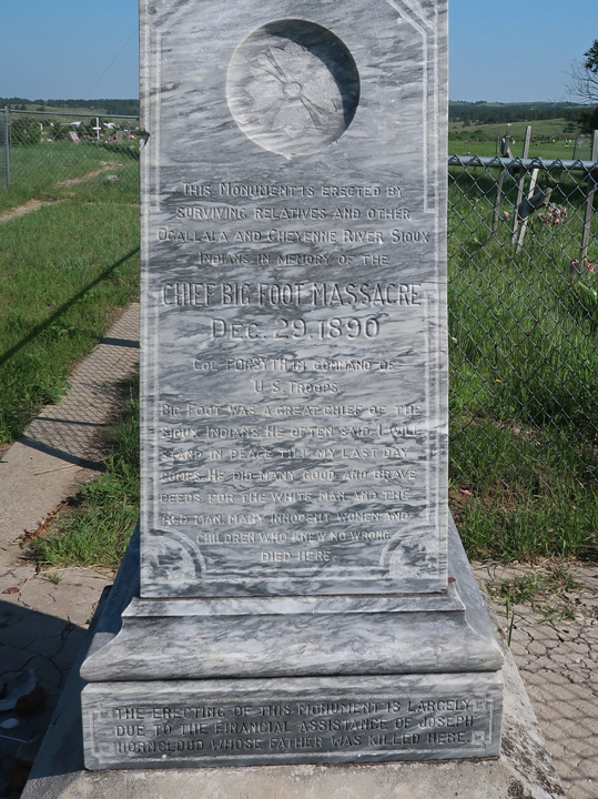
Marker (read) – Chief Big Foot Massacre, Dec.29.1890
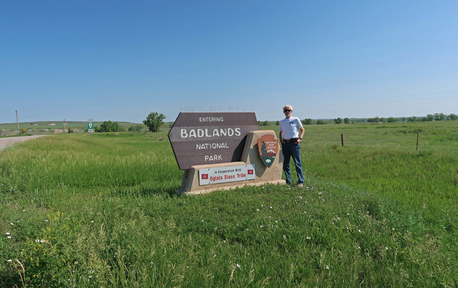
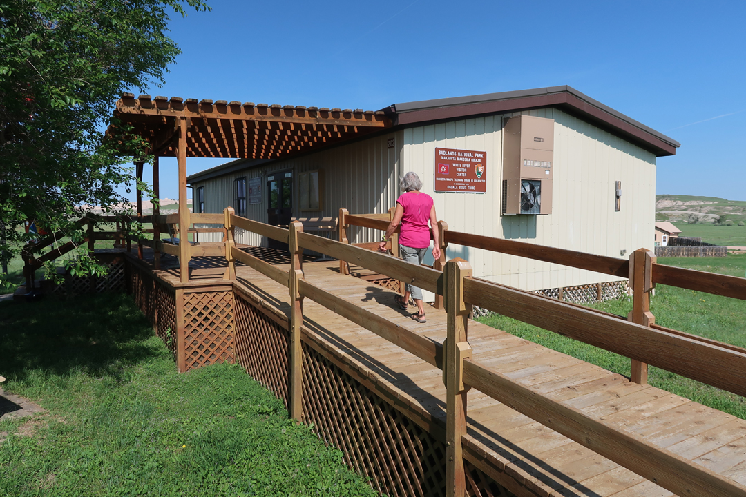
A half hour drive north took us to the White River Visitor Center for BadlandsNP, it is staffed in cooperation with the Oglala Sioux Tribe.
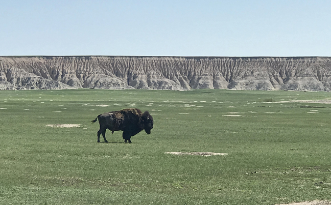
In the 19th century, the buffalo population was reduced to about 800 animals. Today, there are over 300,000 buffalo in the U.S. This photo was taken in the Buffalo Gap National Grassland, which includes Badlands NP.
This photo was taken near the SE entrance to Badlands NP. See this Blog for September 2019 for more photos and information on Badlands NP and the nearby Minuteman Missile NHS.
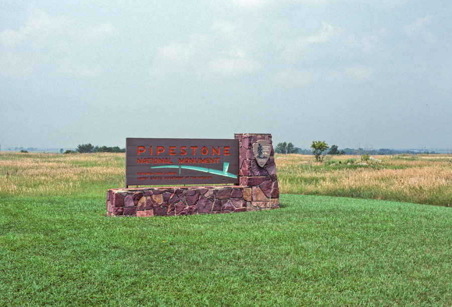
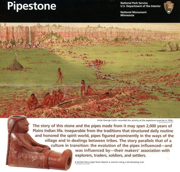
Drove through SD on I-90 for 6-hrs to the SW corner of Minnesota and Pipestone NM. My first visit here was in 1989 with Peter when we were on his 15-year-old “bonding” Road Trip through the upper Midwest.
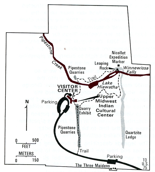
Helen and I visited every site indicated on this park map –
Quarry Exhibit and Pipestone Quarries
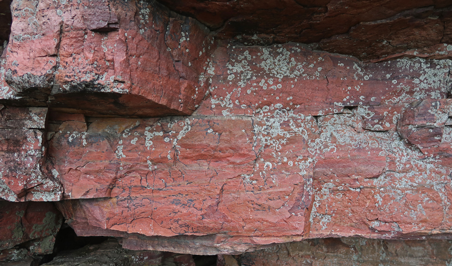
Quartzite Ledge
Winnewissa Falls
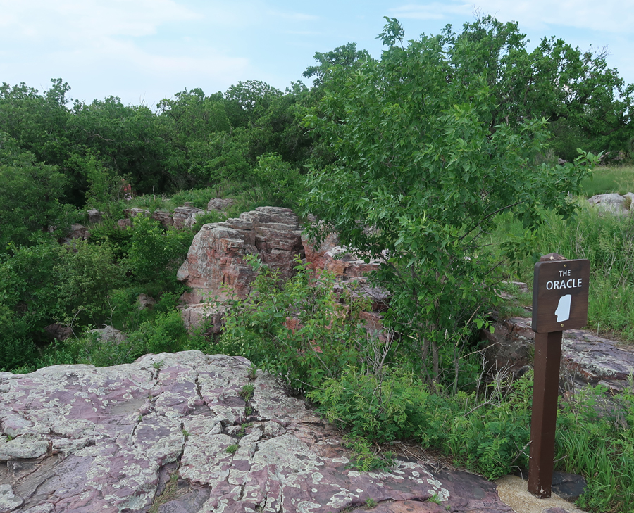
The Oracle
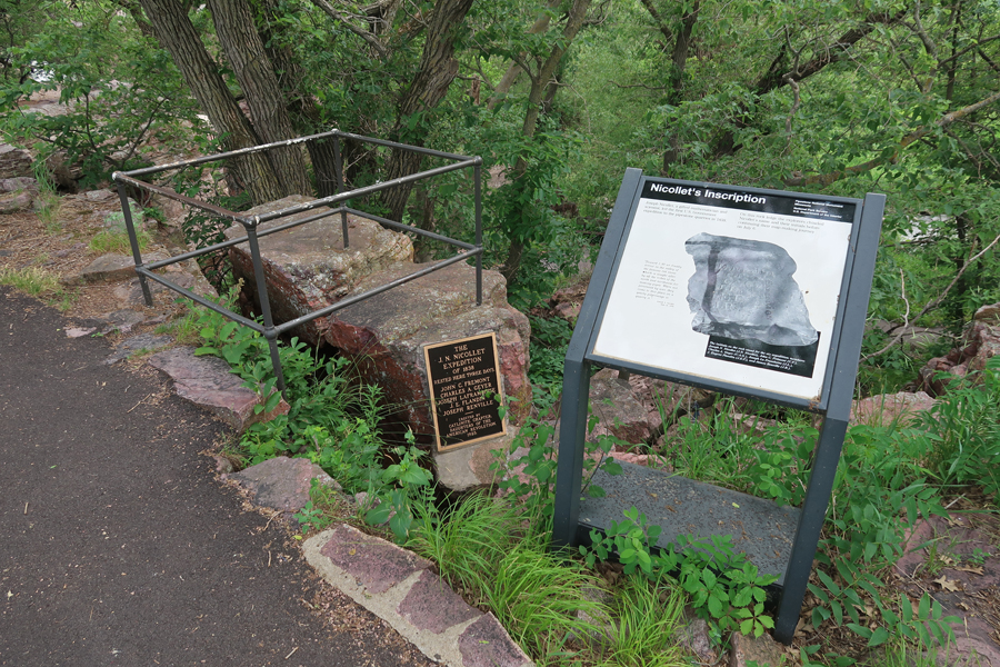
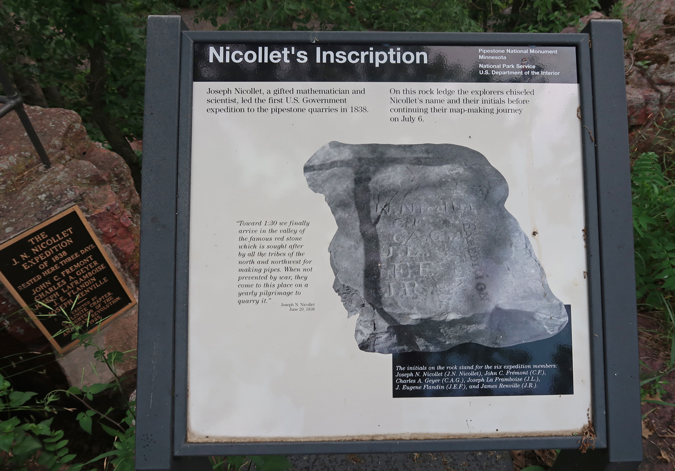
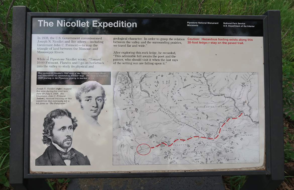
Nicollet Expedition Marker
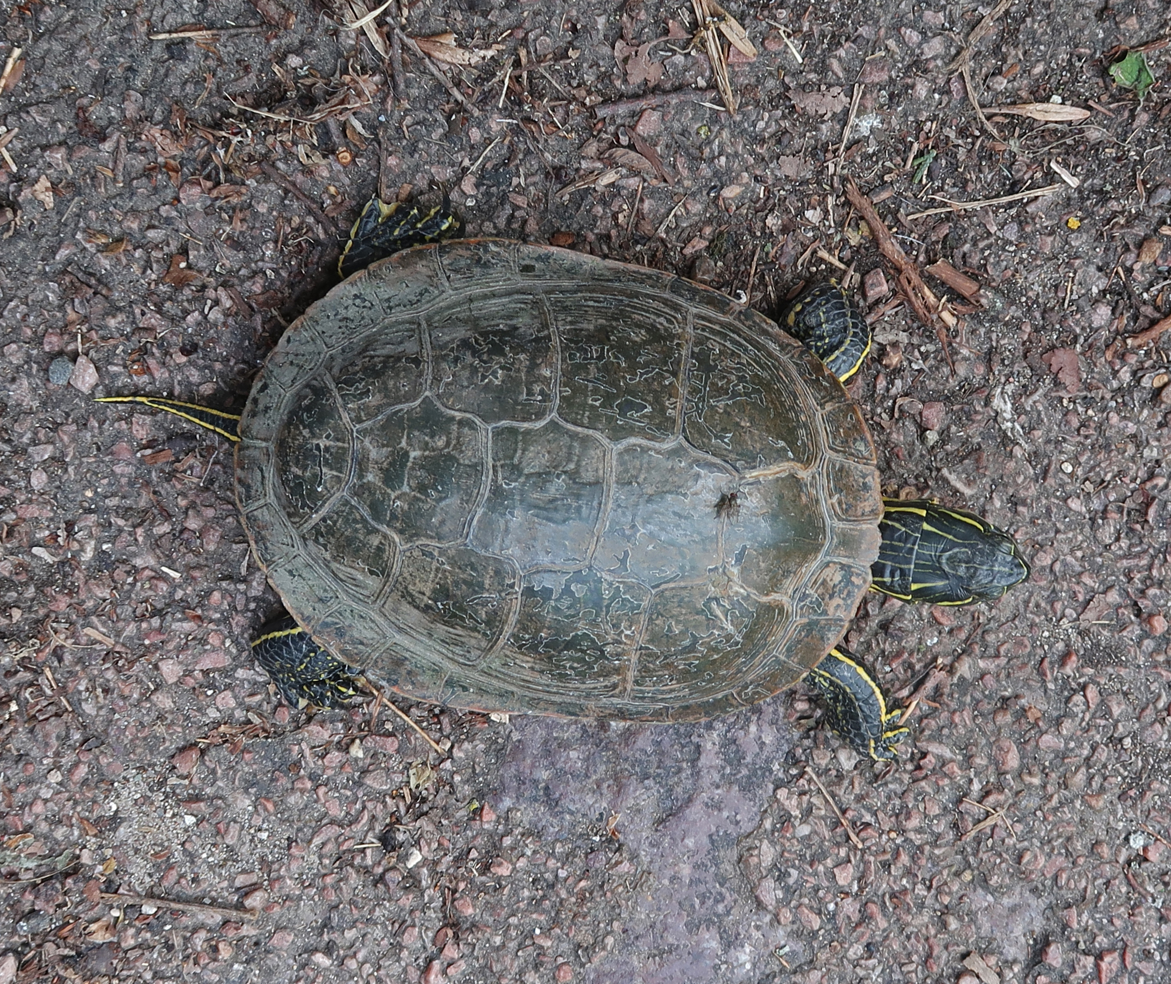
Turtle
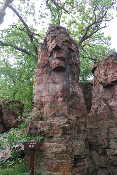
Old Stone Face –
Also known as Leaping Rock
Pipestone Creek
Spotted Pipestone Quarry
Indigenous people are still able to quarry here.
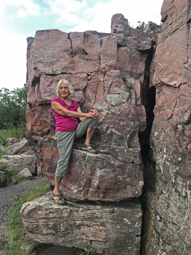
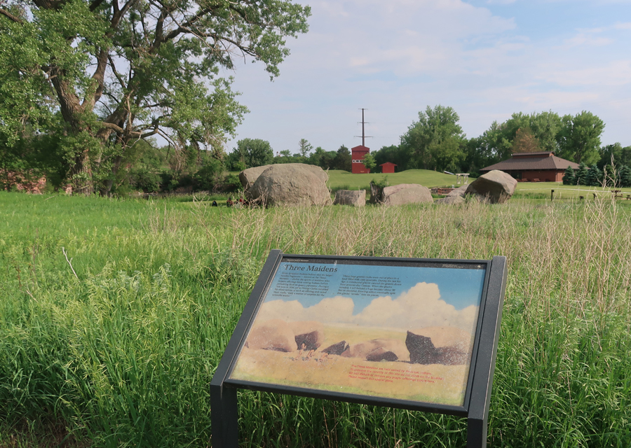
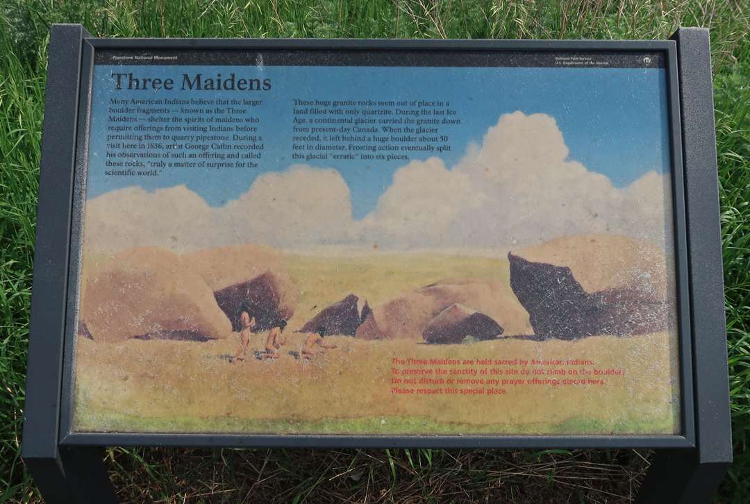
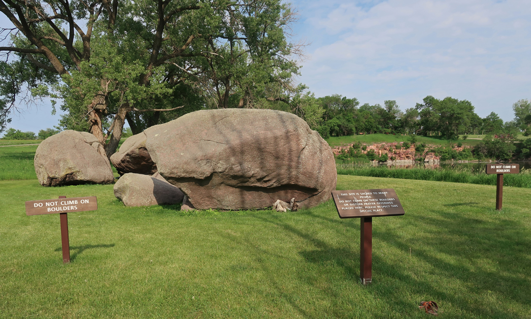
The Three Maidens
4hr drive to Super 8 in Cresco IA
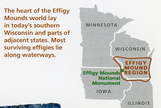
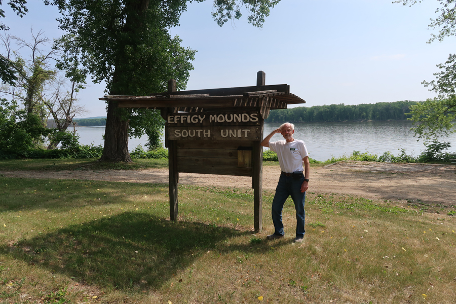
6/7 W – 1.25hrs to Effigy Mounds NM. Helen and I visited in 2007, however, I wanted a few more photos and also to visit the South Unit.
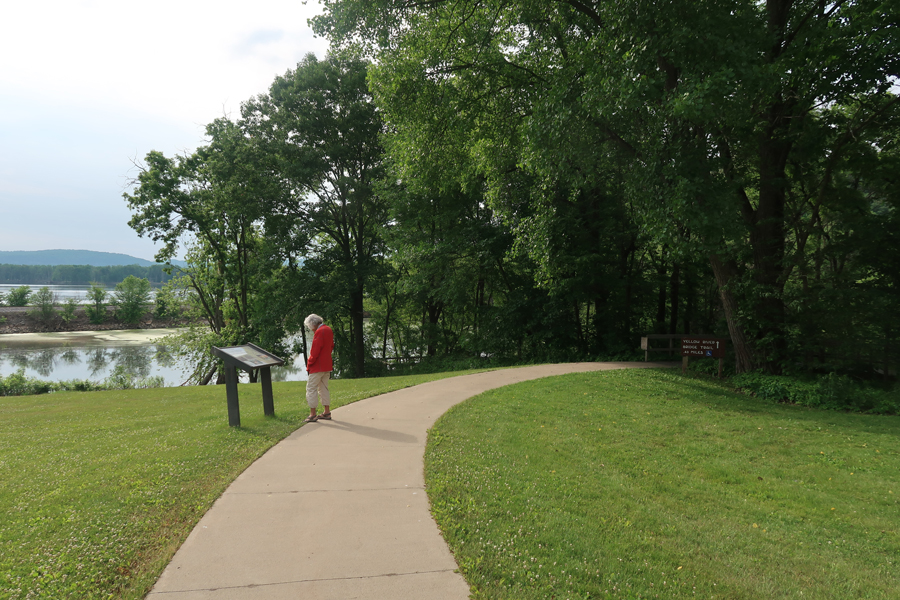
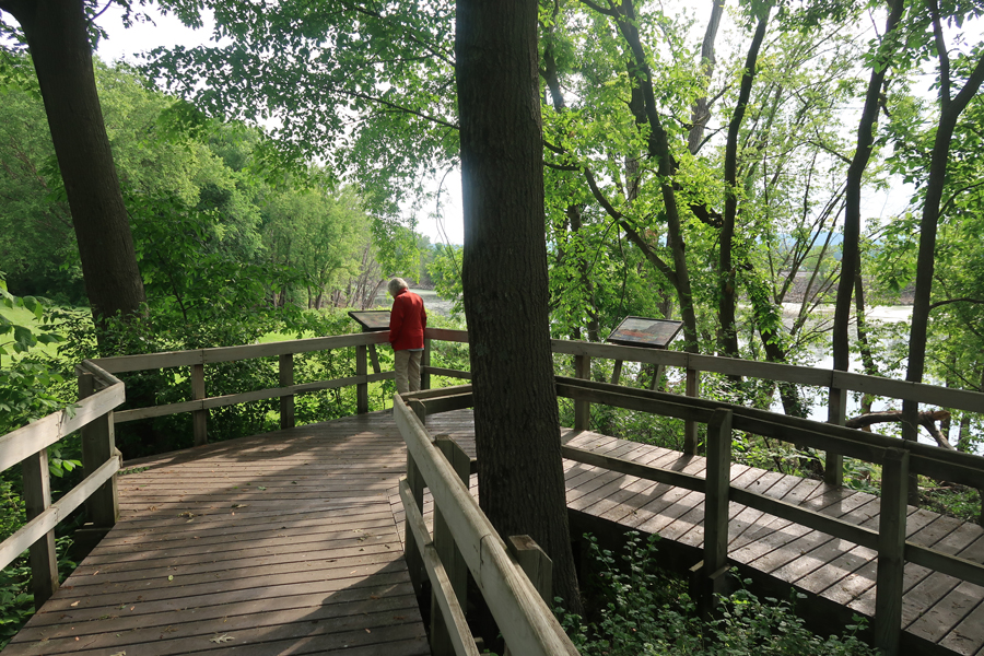
When we arrived, the visitor center was closed. So, we took the Yellow River Bridge Trail into the South Unit, about 1-mile rt.
The Yellow River empties into the Mississippi River here
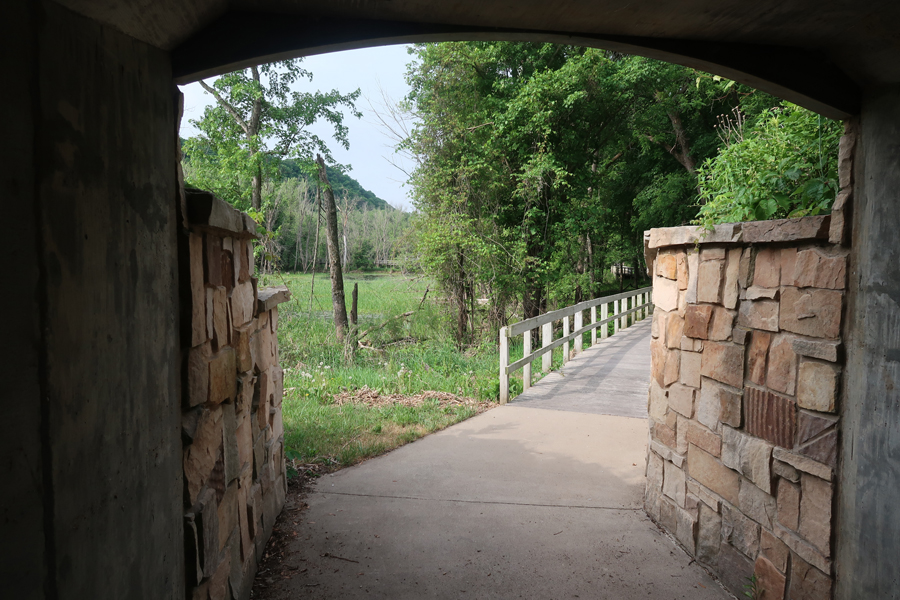
Tunnel under SR-76
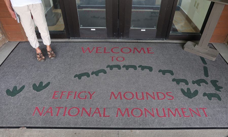
Back at the Visitor Center
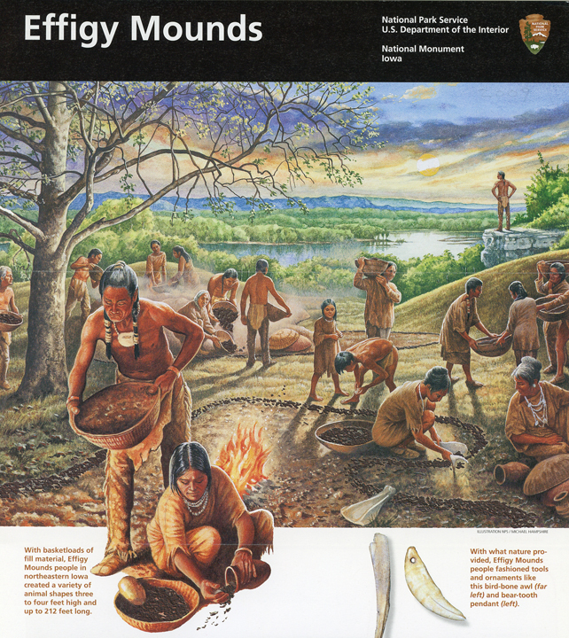
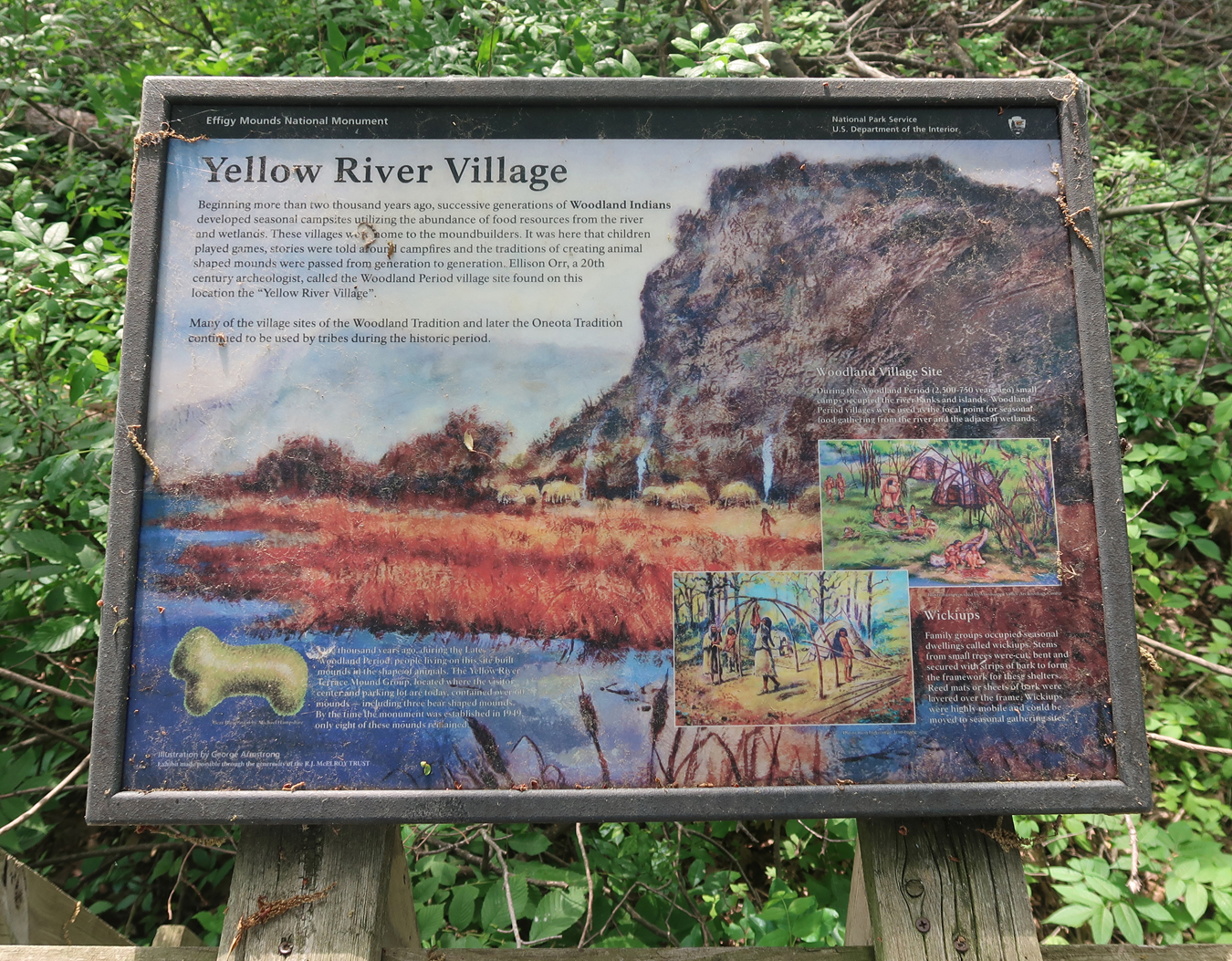
History of Effigy Mounds
We then repeated the 2-mile hike to Fire Point and Eagle Rock that we had done in 2007.
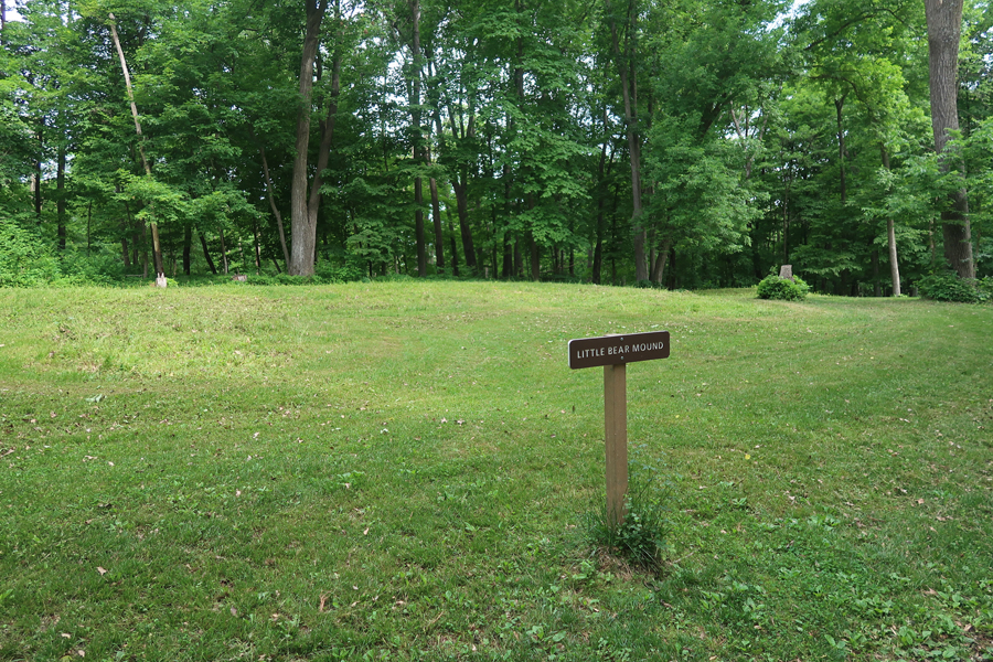
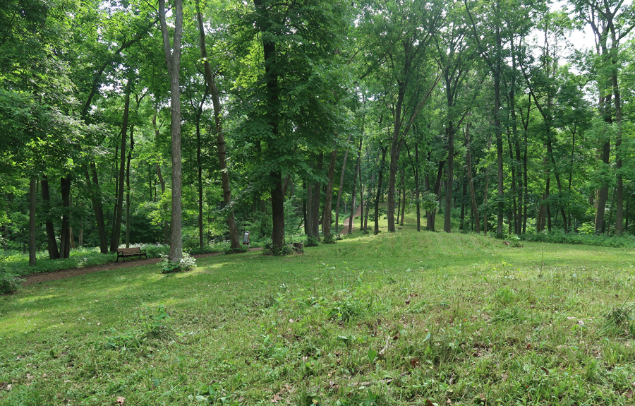
Many of the Effigy Mounds are difficult to make out from ground level, for example, Little Bear Mound
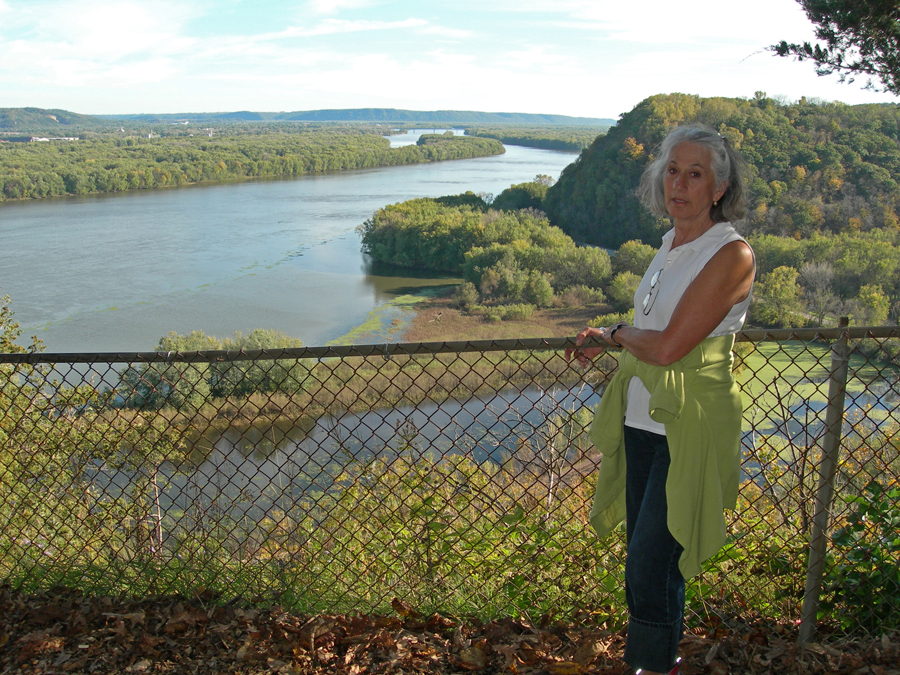
View from Fire Point – 2007
View from Eagle Rock – 2007
Iowa Effigy Mounds Quarter 2017
Our next objective was to visit a couple of sites within the Silos to Smokestacks NHA in Iowa.
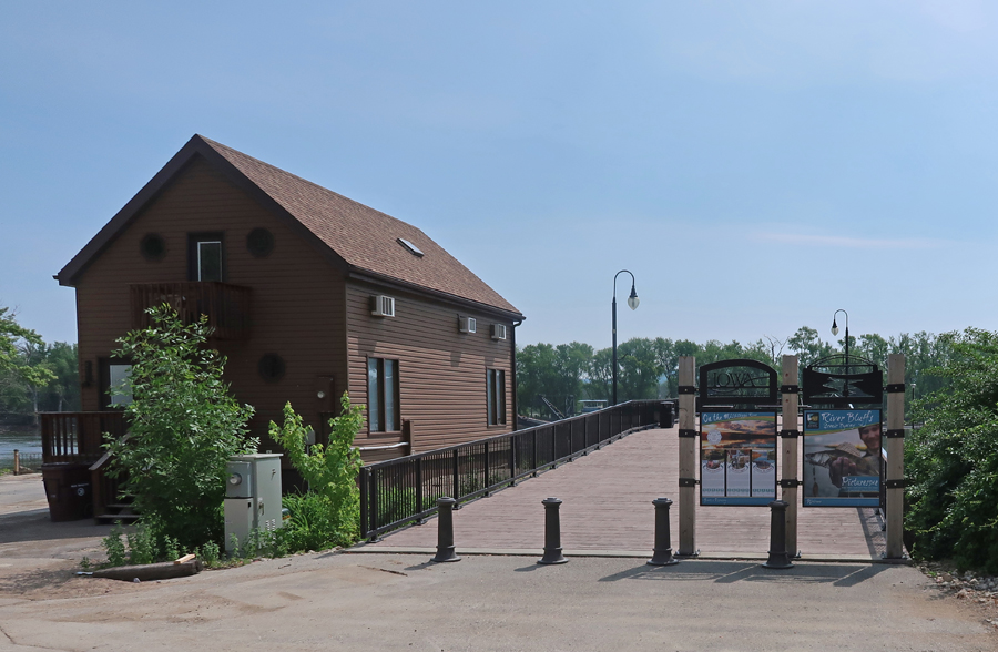
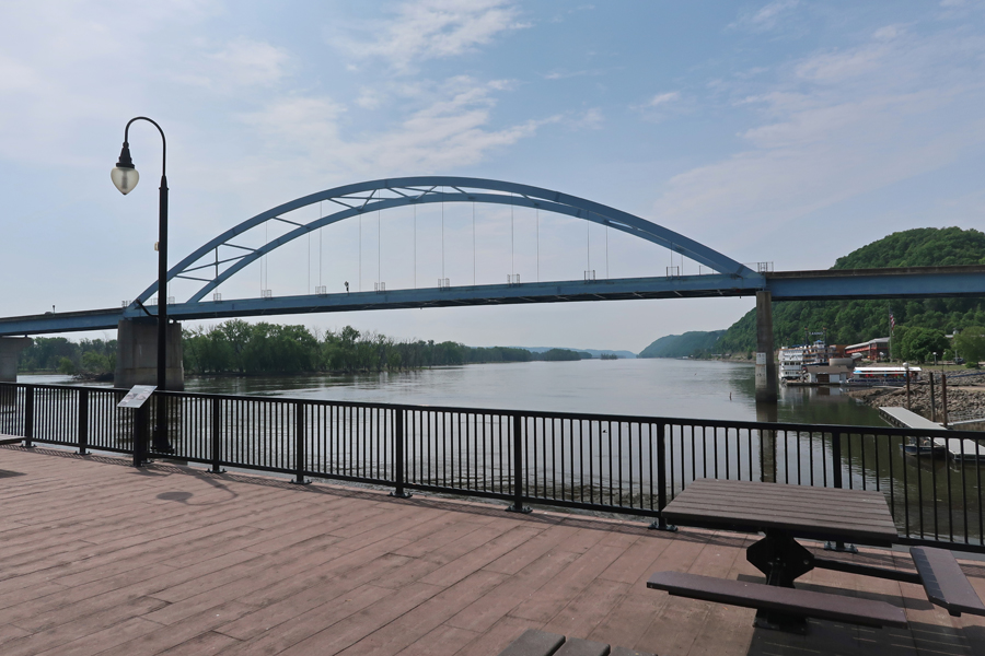
We started in Marquette at the Riverfront Boardwalk on the Great River Road and Mississippi River
River Workboat
There are 29 Locks and Dams on the “Great River”
Marquette-Joliet Bridge and Casino Riverboat river right
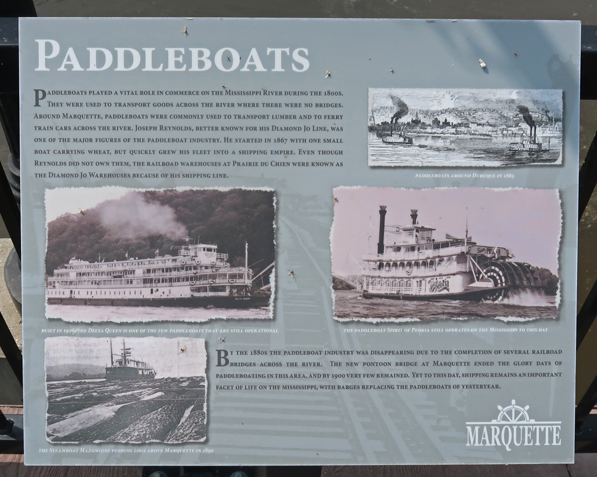
Barges have replaced Paddleboats
Paint Rock Bluff is another site in the NHA
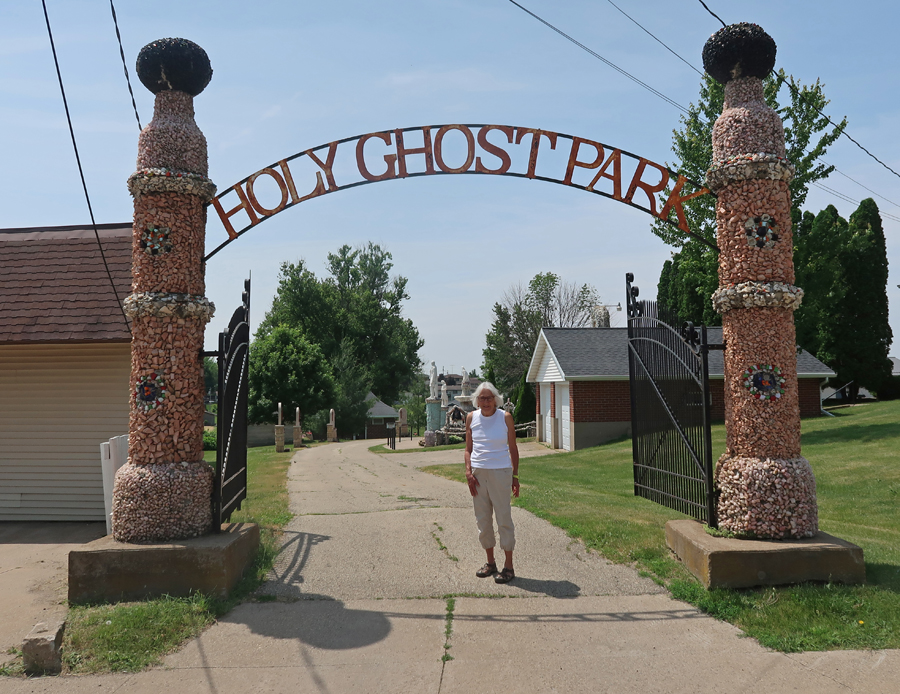
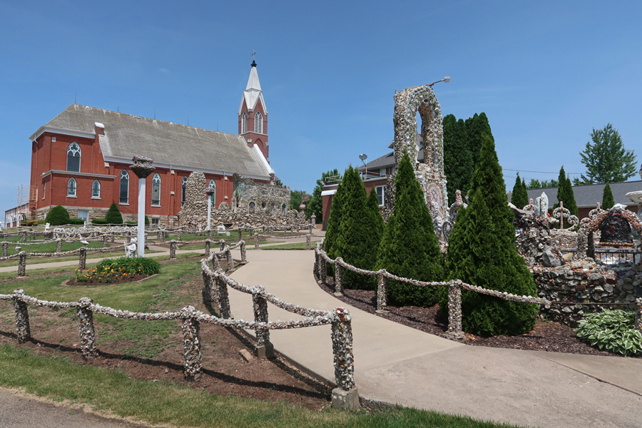
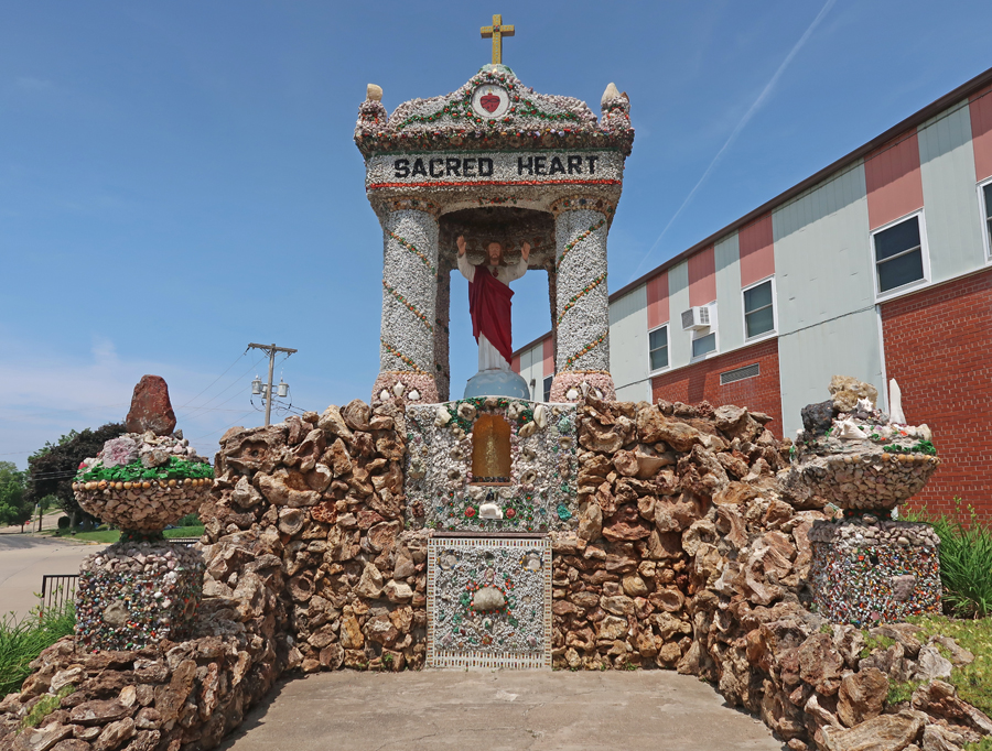
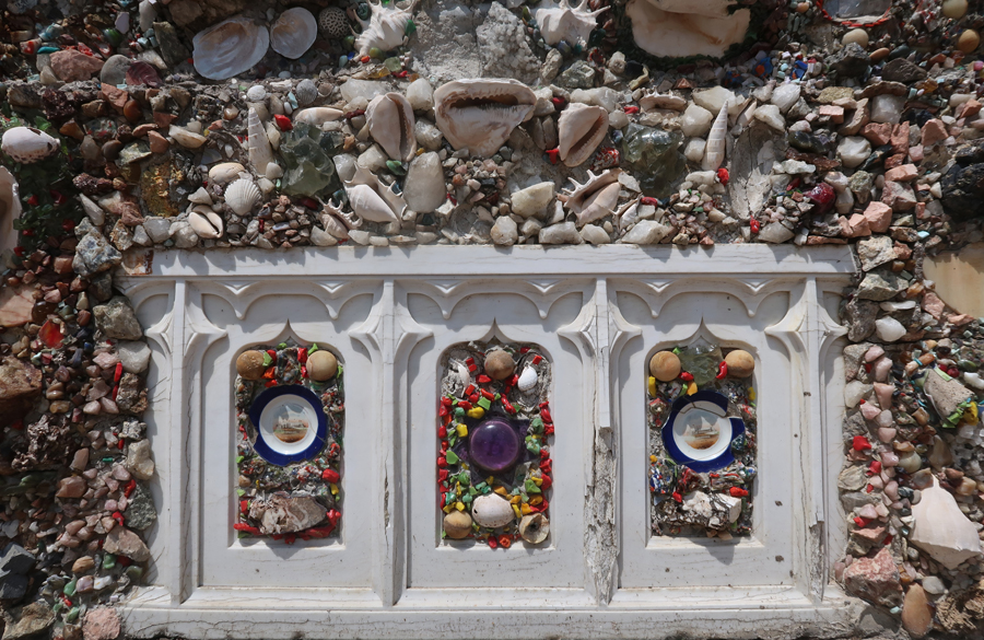
We drove through WI on our way to Dubuque IA and stopped at the Grotto & Shrines on the grounds of the Holy Ghost Parish Church in Dickeyville. It is known for its phenomenal stonework.
Fr. Matthias Wernerus, a German-American priest, constructed the following shrines during his 1918-1930 service to the parish. They were created out of stone, mortar, shells, glass, brightly colored materials, and objects collected from all over the world – Christ the King Shrine
Sacred Heart Shrine
Patriotic Shrine – Middle Statue is Christopher Columbus
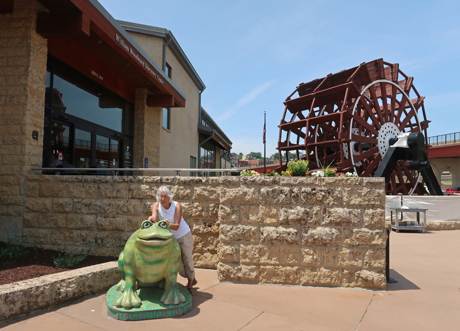
The National Mississippi River Museum& Aquarium in Dubuque Iowa is one of the many sites within the Silos and Smokestacks NHA
We were able to get the National Park Service (NPS) stamp at the museum.
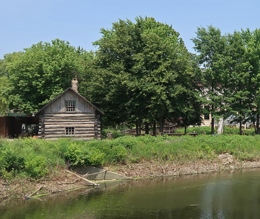
Log Cabin in the Jerry Enzler River Plaza
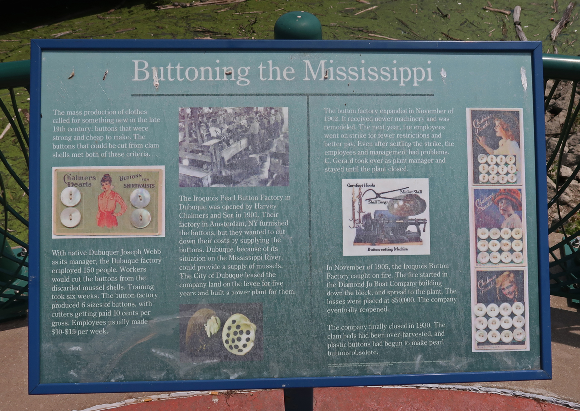
The Iroquois Pearl Button Factory opened here in 1901 and made “Mother of Pearl” buttons from river clam shells. It closed in 1930 when plastic buttons made them obsolete.
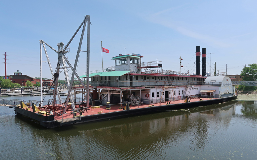
William M. Black Vintage Dredge Boat
8hr drive home to Springfield, lost an additional 1hr to EST – a LONG Day!
1/12/2022 Th – after having our flight from Dayton to Maui canceled at 10pm yesterday, I arranged for a flight from Columbus leaving at 5am. So, we were up at 2am to get to the airport. Five minutes from home I hit a deer. Fortunately, I was still able to drive the car to Columbus, only to find that our flight was canceled! After much ado, American Airlines got us a flight on United that left at 7am. When we got to United, that flight was canceled. We had to rebook two more times to finally get a flight to Maui. Also, we had to change our return flights because now our car was in Columbus and not in Dayton as originally planned! We arrived in Maui at 10:30pm, 8 hours later than planned. I rented our car from SIXT and got to our VRBO Kihei Bay Surf Condo at 11:30pm, where Kate was waiting. She had landed nine hours earlier.
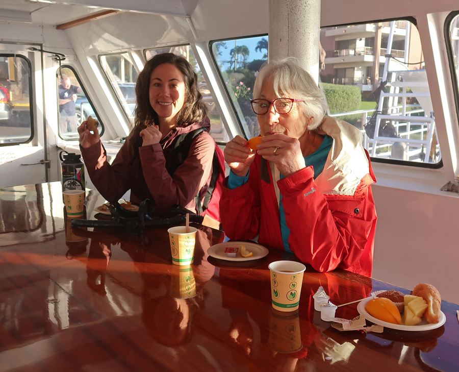
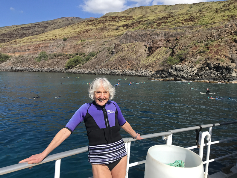
1/13 Friday the 13th – up early to get to the “Pride of Maui” leaving out of Wailuku for our snorkeling adventure at 8am. We took towels, reef approved sunscreen, caps, warm clothes, etc. A light breakfast was waiting for us when we boarded at 7:30am. The water temperature was about 75 degrees, air temperature was in the low 60s, with winds about 13mph. That prompted us to rent wet suits.
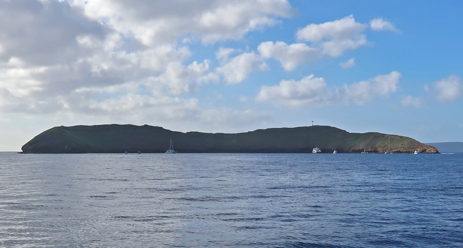
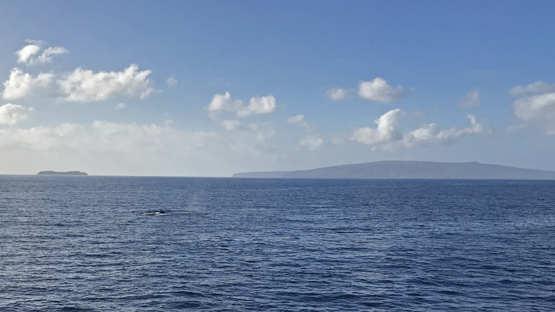
We were treated to numerous humpback whale sightings and breaches on our 45min cruise to the Molokini Crater snorkeling site.
Though cold, it was a good site and we snorkeled for about 45 minutes.
Water Camera Photos –
We had a BBQ lunch and saw more whales as we then cruised to our “Turtle Town Snorkeling” destination.
Good snorkeling but no turtles today –
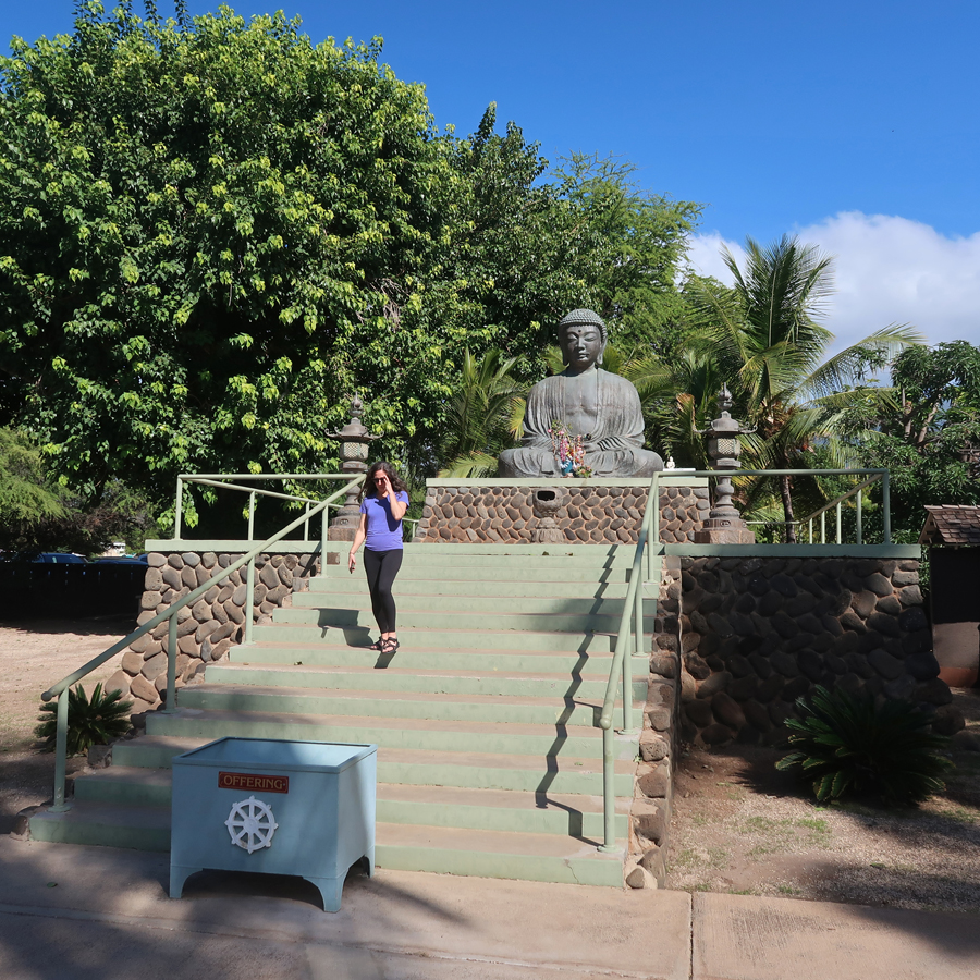
Drove to Lahaina, saw the Jodo Buddhist Mission, and walked the beach.
–
In 1982, Helen, Stacy, Peter, Kate, and I visited four of the Hawaiian Islands. This is a photo of Stacy near Lahaina.
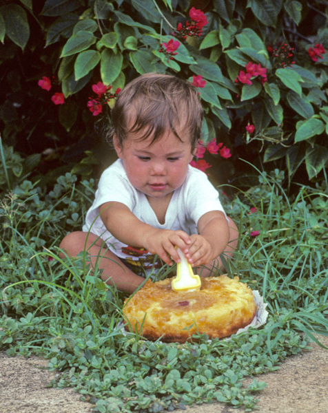
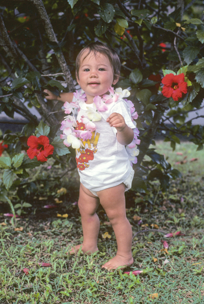
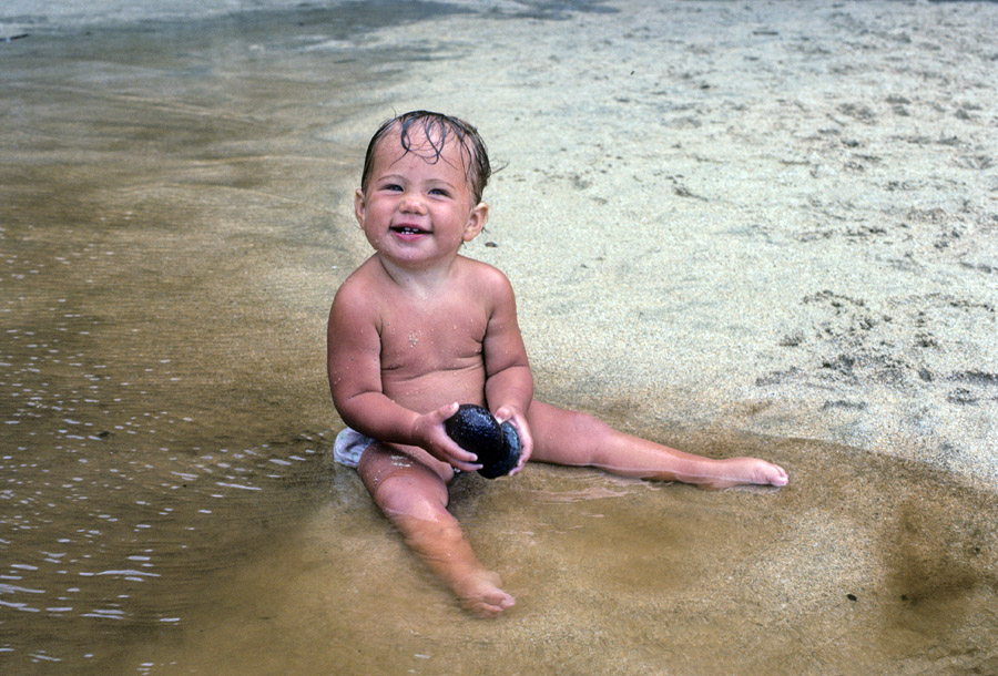
Kate had her first birthday on Maui, with a Pineapple Upside Down Cake! – July 20, 1982.
–
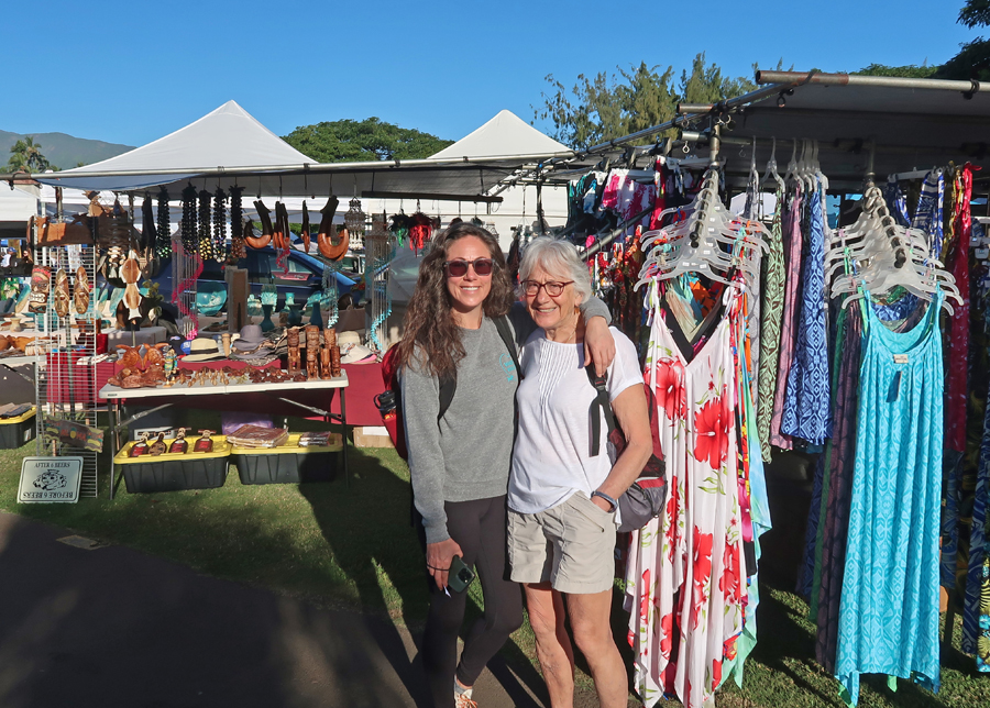
Kate – 2023
We had VOG today – that is, Volcano Smog from the eruption of Mauna Loa on the island of Hawaii. I was not feeling well after our beach walk, so we returned to the condo. I rested and hydrated while Helen and Kate went out to Kihei Sushi Ko for dinner.
1/14 Sa – started the day at the Kahului Swap Meet. It focused on local handicrafts, so was not of great interest, but the small bananas were excellent!
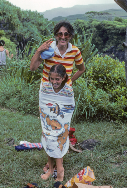
In 1982, we drove the notorious Road to Hana, windy, gravel, and often one-lane. I don’t know why these people were so happy!
The waterfalls at the end were worth it – Cliff jumping at Makahiku Falls
Peter and Stacy enjoyed sliding down into some of the Pools of ‘Ohe’o near Kuloa Point. These pools are also known as the “Seven Sacred Pools.”
–
Today we entered Haleakala NP about 11am and stopped at the 7,000ft Visitor Center
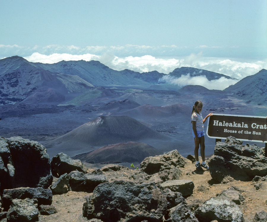
Haleakala means – “House of the Sun.”
Here is a 1982 photo of Stacy at the Leleiwi Overlook 8,840ft.
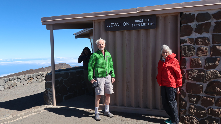
It is a 37-mile drive to the highest point on the crater rim (10,023ft) called the Pu’u’ula’ula Summit, about 30-degrees colder than at the beach!
–
The Haleakala Visitor Center at the 9,740ft level was not open today.
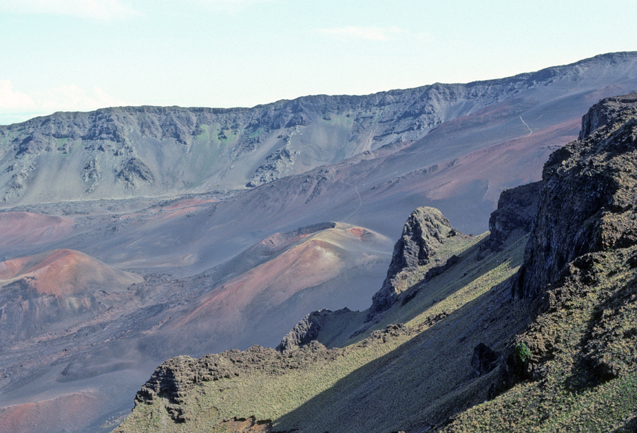
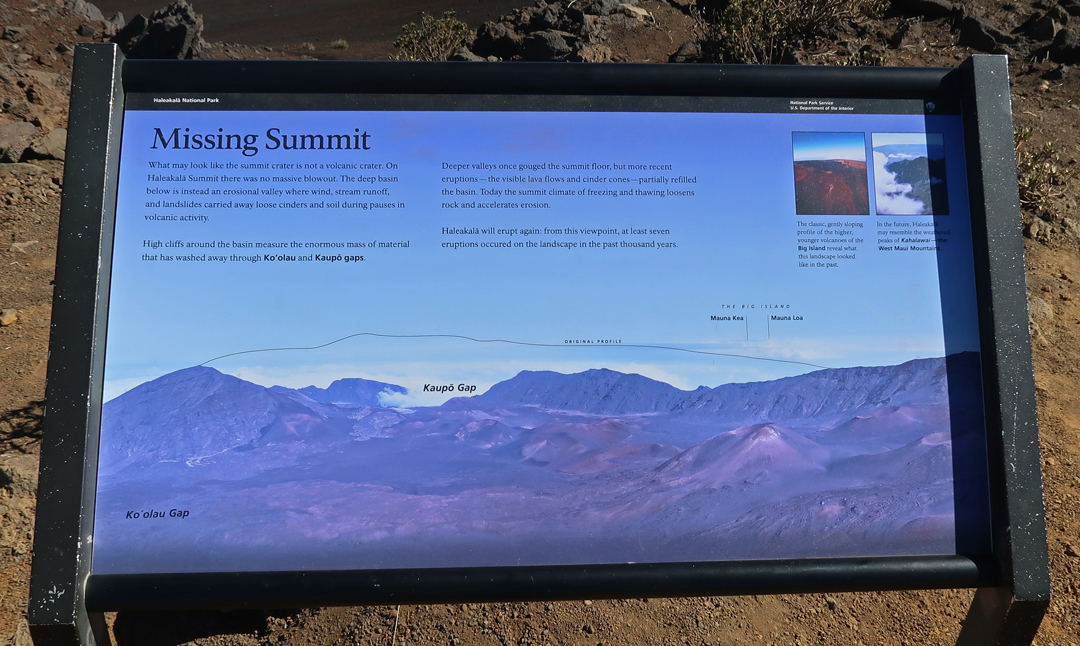
We did the short hike to the overlook on the Keonehe’ehe’e or Sliding Sands Trail
In 1982, we hiked about 2,500 ft down this trail to the Pu’u o Pele Cone in the Wilderness Area on the crater floor. Note Helen carrying Kate. We took turns carrying her on the 7-mile round trip hike.
Of course, we also carried food and water for lunch. One of our funny stories is how we also carried a whole pineapple for dessert. After cutting and eating it, we all ended up with very sticky mouths and hands. Helen said, “No problem, just rub your hands in the black pumice and the sugar will just fall off leaving your hands clean – just like using sand on the Jersey shore.” Well, it did not brush off and we all looked like hobos until we got back to our motel.
The Ahinahina or Silversword grows on the slopes of Haleakala and nowhere else in the world. We were able to see some on our 1982 hike.
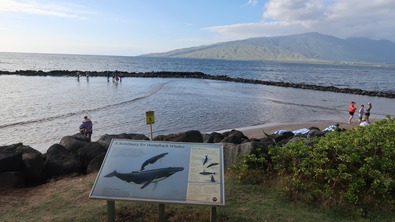
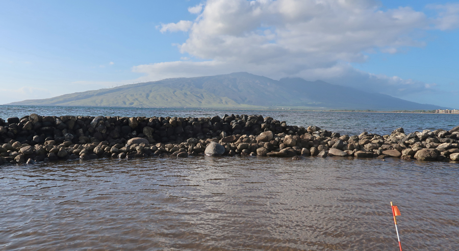
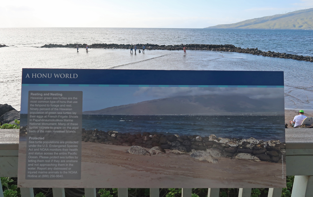
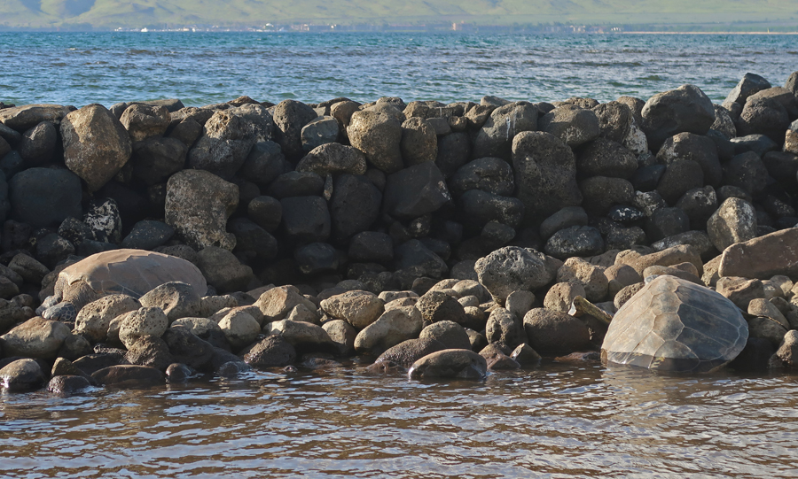
On our return, Kate searched Google for a place to eat and found a nice Food Truck Park with local selections near Kahului. We returned to the condo and walked across the street to the 500-year-old Ko’ie’ie Fishpond.
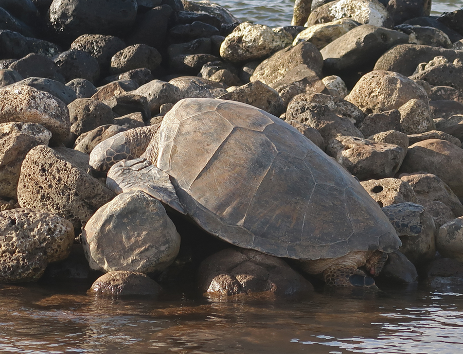
We waded in to get a better look at the seven large Green Turtles that were resting on the rocks.
–
The Visitor Center for the Hawaiian Islands National Marine Sanctuary is nearby.
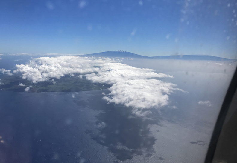
1/15 Su – Had a great breakfast at a local place called the Tasty Crust in Kahului and then headed to the airport. Kate’s flight to LAX was canceled and she was rescheduled, getting into LA later in the evening. We departed at 11:20am and arrived at the Kailua-Kona airport on the Big Island of Hawaii at 11:56am. Airplane view of Mauna Kea (left) and Mauna Loa (right). Mauna Loa had stopped erupting.
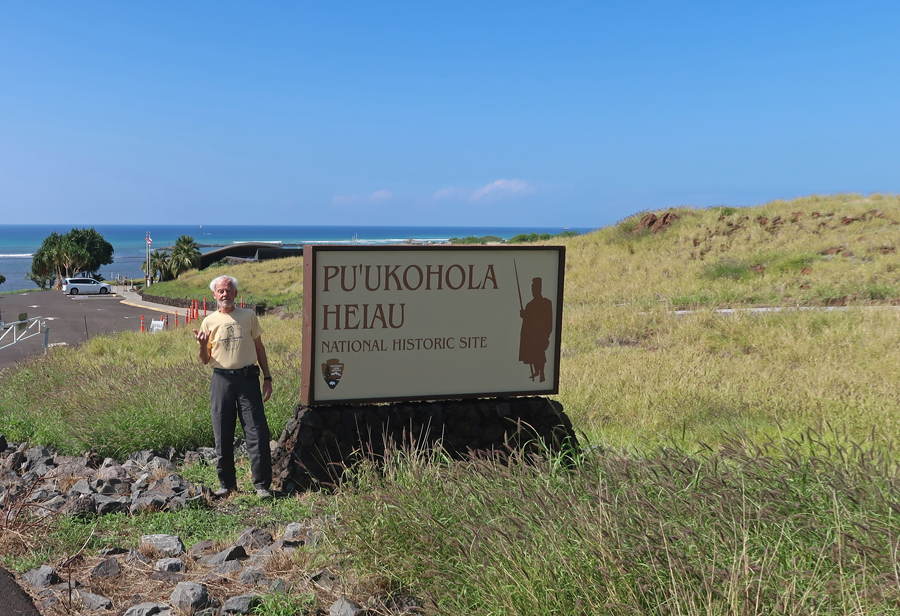
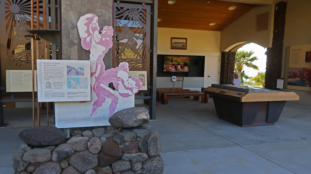
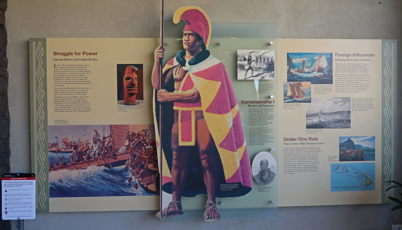
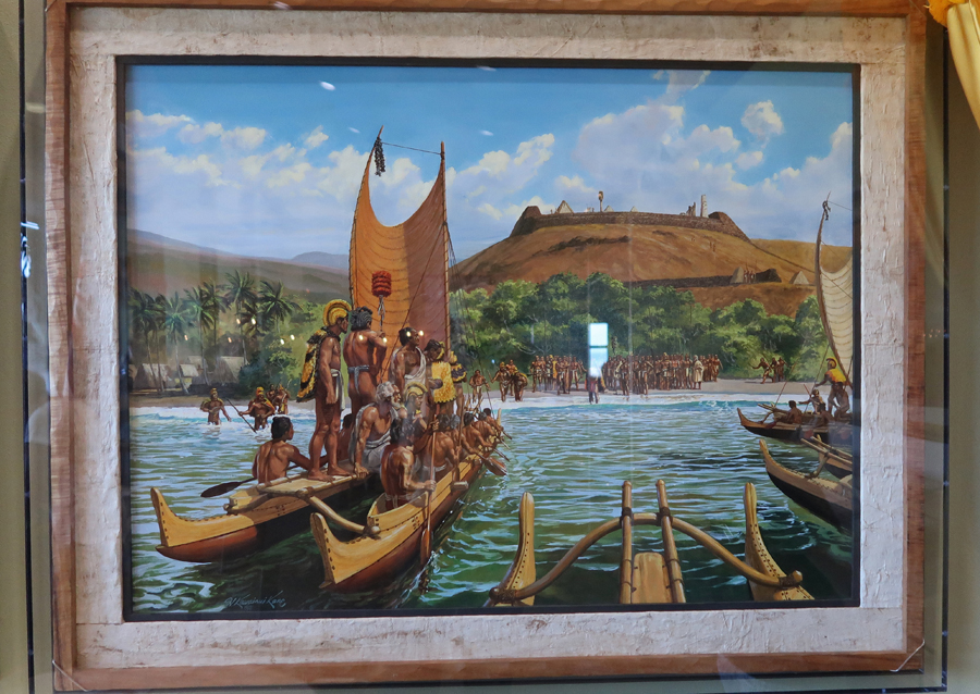
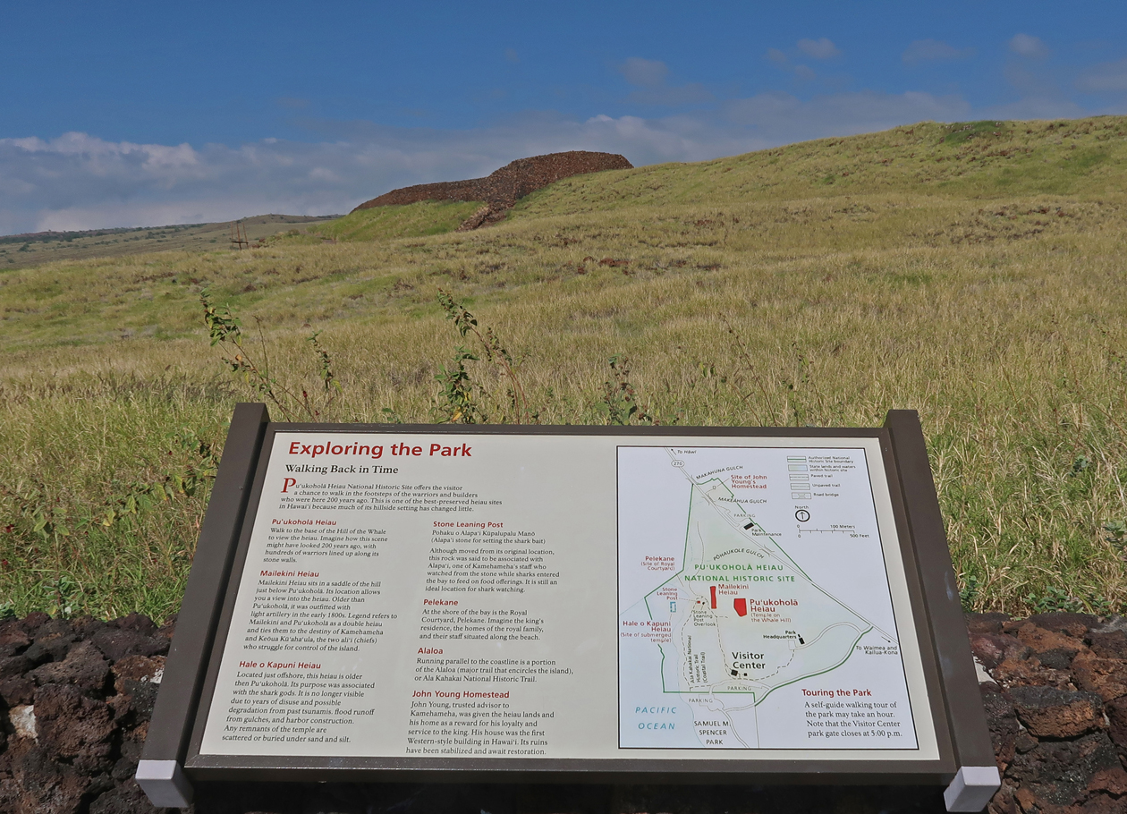
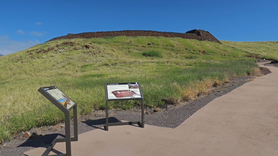
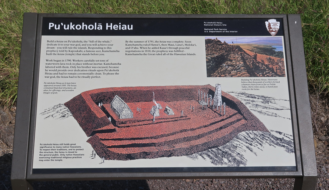
Thrifty upgraded us to a new 4WD Jeep “Road Hawk,” which would allow us to drive to the observatories on top of Mauna Kea (13,803ft). Our first stop today was the Pu’ukohola Heiau NHS. This was our second visit to this site – we had previously visited all the NP Units on the island on previous trips.
We watched the video “Foundation of a Nation” that describes how Kamehameha I was destined to unite all the Hawaiian Islands. A prophet had told Kamehameha that he would be successful if he built a Heiau or Temple to the War God Kuka’ilimaku or Ku atop Pu’ukohoa or “Whale Hill.”
It was built 1790-91 by moving stone hand over hand from the Pololu Valley over twenty miles away. No mortar was used in the construction.
–
Kamehameha defeated his first cousin Chief Keoua, who controlled the south end of the island. He then invited him to the dedication of the new temple and killed him and most of his party. Keoua’s body was then carried to the Heiau and offered as the principal sacrifice to the War God Ku. Kamehameha I would go on to conquer the other islands, then known to Europeans as the Sandwich Islands, to become the first King of the Hawaiian Islands.
One reason for Kamehameha’s success was his use of “modern weapons (e.g., a canon)” and techniques learned from John Young a British sailor stranded on the island in 1790.
We hiked the one-mile trail to the Heiau on the Hill of the Whale and then returned on a segment of the 175-mile Ala Kahakai National Historic Trail, which runs along the west coast of the island.
It was an hour drive south to Kaloko-Honokohau NHP. We arrived at the Hale Ho’okipa Visitor Contact Station at 3:30 and had a half hour there before they closed. We looked around the small contact station and then did the nature walk.
–
The grounds remained open, so we drove to a parking area near the ocean and entered the park near the Pu’uoina Heiau and the Ai’opio Fishtrap. It was an enjoyable walk to the ocean, past the fishtrap, and along Honokohau Beach. High tide would bring fish into the pond for sustainable “farming.”
–
Had dinner at Keoni’s Point of View, a salty bar/grill in Kailua-Kona where we watched the Cincinnati Bengals defeat the Baltimore Ravens in an NFL Playoff game. We then bought breakfast items at Target and drove to our Airbnb at an elevation of about 1,000ft up the mountain from the airport. It was big and clean, but no AC.
1/16 M – Martin Luther King Day – we were up at 6am for what would be the busiest day of our trip. It took a bit over an hour to drive up Saddle Road (Rt 200) to the 6,632ft saddle between Mauna Kea (13,796ft) and Mauna Loa (13,677ft). This road is now known as the Daniel K. Inouye Highway and is a huge improvement over the dilapidated two-lane road we drove in 1993 when I climbed Mauna Kea. See my article at https://www.summitpost.org/mauna-kea-50-miles-to-the-hp-of-the-50th-state-hawaii/969138 describing my 50+-mile sea to summit climb on my 50th birthday. It was the most difficult physical effort of my life! Mauna Kea is the highpoint of Hawaii and the tallest mountain on earth when measured from the sea floor. However, Mauna Loa is the most massive mountain on earth by volume.
We drove up through the Mauna Kea Ice Age Natural Area to the Onizuka Science Center at the 9,200ft level on the mountain. Ellison Onizuka was a Hawaiian astronaut killed in the Space Shuttle Challenger explosion in 1986.
This is the point at which State Rangers control further travel on the 4WD road. First, we had to stay there for a half hour to see how our bodies reacted to the altitude. They warned us of the effects of high altitude on the heart and lungs. They then checked our 4WD vehicle and made sure we knew how to use it before allowing us on the windy gravel road to the observatories near the summit.
It was 8-miles and an additional 4,000ft up to the observatories. And as you can see – a bit windy! The road from here to the top is paved.
–
There is now a sign discouraging people from continuing to the true summit of the mountain.
It is about a quarter-mile down from the United Kingdom Infrared Telescope and up a cinder cone to the true summit at 13,804ft. The elevation was 13,796ft back in 1993 when I climbed it, so I guess the mountain is “growing.”
–
–
Helen convinced me that I should not do the hike to the summit marker. Besides, I had already been there twice.
Downshift and use low gear on your descent.
Mauna Loa in background
It took about an hour to get to Hilo and a Subway where we bought foot long subs – half for lunch with the other half saved for dinner. Another half hour took us to the Hawaii Volcanoes NP Visitor Center at 4,000ft on the rim of the Kilauea Caldera.
As mentioned, our first visit to the Big Island was in 1982 and today we repeated some of the same hikes we did back then. To start we took a half mile hike to the Waldron Ledge where we had a view of an ongoing Kilauea eruption. We could see a dot of red magma and fire in the crater.
The Goddess Pele
We then did a two-mile hike along the crater rim, past the steam vents, and through the sulfur banks area.
It was then on to the Kilauea Iki Crater
It was steaming and quite hot when we hiked across it in 1982.
A short hike through the Thurston Lava Tube (Nahuku 0.3mi loop trail) was next.
–
–
That was followed by many stops along the 19-mile Chain of Craters Road down to the Pacific Ocean. We had walked over magma flowing under our feet here in 1993.
Today the lava was cooled into intricate formations.
We met a couple from Singapore at the Kealakomo Overlook. She took a photo of me taking a picture of Helen and then transferred it to my iPhone.
–
We met them again at the Holei Sea Arch
Some splendid views here as the waves crashed against the black lava.
It took 1.5hrs to drive back to the Visitor Center and then continue on to the “potential” South Kona National Heritage Area (NHA). Our first stop was Punalu’u Black Sand Beach Park near the south end of the island.
In 1982, we visited a black sand beach with Peter and Stacy
We ate the second half of our Subway sandwiches as we drove to Ka Lae “The Point.” Along the coastline of the “potential” South Kona National Heritage Area – there is Honomalino Bay, Kapua Bay, Pōhue Bay and Ka Lae, otherwise known as South Point. Pōhue Bay is one of the few untouched places in Hawaiʻi. This area is home to a number of historic trails, heiau – or sacred sites and temples, petroglyphs and other cultural features, and Pōhue Bay is also a prime nesting point, an area for the endangered hawksbill sea turtle. In the north, Honomalino, is a black sand beach and is one of the most picturesque sites on the island of Hawaiʻi.
–
The sun was setting in a cloudy sky as I got to the Light Station at South Point – it is the Southernmost Point of the U.S., January 16, 2023.
I was at the Easternmost Point of the U.S. – West Quoddy Head Lighthouse in ME on July 21, 2022.
And I was at the Northernmost Point of the U.S. on the Arctic Ocean – Point Barrow AK (note whale vertebrae) on September 8, 2022.
The Westernmost Point of the U.S. is on the west shore of Attu Island, which is the last island in the Aleutian Chain of islands stretching from Alaska into the north Pacific Ocean. The Japanese invaded Attu and Kiska islands in 1942, six months after Pearl Harbor. In a major offensive, the U.S. and Canada retook the islands in 1943. Attu is only 208 miles from the Commander Islands of Russia. Attu is the largest uninhabited island in the U.S. In fact, the International Date Line does a jog so that it passes west of Attu so that all of Alaska can be on the same day. It is now next to impossible to get to the Westernmost Point of the U.S.
The closest I got was on September 5-6, 2022, when I was in Unalaska (Dutch Harbor) AK visiting the Aleutian World War II National Historic Area – See Blog for September 2022.
Peter and Stacy at the Southernmost Point of the U.S. in 1982
Looking back at the Light Station from “The Point,” 2023
The drive back to our Airbnb in the dark and rain seemed longer than the two hours that it took. We arrived at 9pm, it was a 15-hour day.
1/17 Tu – we had an easy morning driving south down the west coast of the island. This was Helen’s morning, so I followed her directions to five Thrift Stores – nothing purchased, can you believe it!? We did buy some oranges along the way.
We arrived at Pu’uhonua o Honaunau NHP at about 11am. This is another Hawaiian Historical Park that explains the societal structure, culture, and everyday life of early Hawaiians. You can see the Royal village nestled on the coast in the following photo.
Good photo of Konane -a Hawaiian strategy game played with black and white pebbles; Keone’ele Cove where only ali’i (royals) could land their canoes; and the Hale o Keawe or royal mausoleum housing bones of at least 26 ali’I, including Kamehameha’s great-grandfather. Note the Great Wall extending to the left of the Keawe. The ocean side of the 12 foot tall, 18 foot wide, and 950 foot long wall was the Pu’uhonua or “Place of Refuge.” If a person was guilty of breaking rules or perhaps an enemy, he/she could try to get to the Place of Refuge for safety. They would have to swim in from the ocean side over the jagged lava rocks. If they succeeded, after a few days, priests could absolve them of their “sins” and then they were free to go.
2023 photo of me with the Hale o Keawe in background.
1982 Photo looking back at the Royal Grounds with me holding a coconut. Peter and I worked for over a half hour to break it open so we could drink the juice and snack on the meat.
–
Two Ki’i – wooden images of Hawaiian gods
Photo from the Pu’uhonua side of the Heiau
Note gold colored fish –
This Halau or house now serves to protect canoes and other artifacts.
Stacy built this model on the beach at this site in 1982.
After Hawaiian BBQ Bowels for lunch, we drove to Kamakahonu National Historic Landmark (Kamehameha’s home) and the related beach that is next to the Kailua Pier.
–
Helen snorkeling in the Bay
In 1993 we used Jack’s Diving Locker, which is located at the Pier, for both SCUBA and Snorkeling – Helen sitting.
We watched young male and female paddlers leave the harbor for evening practice.
They cheered as numerous dolphins displayed their jumping skills.
1/18 W – lazy morning, caught 12:40pm flight to Oahu. There was at least a one hour wait at Thrifty rent a car. So, I confirmed a Mustang convertible rental at Budget and then canceled the Thrifty rental. Had to do that to make our 3:30pm reservation ($1 each for reservation fee at recreation.gov) for our Navy boat tour to the USS Arizona Memorial at Pearl Harbor N MEM. Stacy, Peter and I were able to visit the memorial in 1982 but Kate was one-year-old and was not allowed on the boat. Helen stayed with her at the Visitor Center; so, this was her first visit to the remains of the battleship. This photo shows the memorial on the left and the USS Worden guided missile cruiser in 1982. The Worden was launched in 1962 and then scuttled in 2000 off Hawaii during Navy target practice.
It was the last 45-min tour of the day. Arizona Memorial in 1982 and 2023 –
After World War I, the Japanese expanded its territory (by force) to provide for its growing population. It saw the U.S. as a threat to that expansion. So, on December 7, 1941, it launched the infamous surprise attack on our western fleet at anchor in Pearl Harbor.
The greatest loss of life occurred on the USS Arizona when a 1,760-pound armor-piercing bomb slammed through its deck and ignited its forward ammunition magazine, 1,177 of its crew perished in less than 9 minutes.
–
A total of twelve ships were sunk and nine others were damaged. U.S. losses were ~2,400 killed, ~1,200 injured, 164 aircraft destroyed and an additional 159 damaged. All ships, with the exception of the Arizona and Oklahoma were salvaged and later saw action in the War. The museum and outdoor signage describe the prelude, attack, and aftermath. Age of the Battleship –
Six Japanese aircraft carriers took part in the operation.
–
How the Nakajima “Kate” carrier torpedo bombers attacked the ships at Pearl Harbor. The Japanese attack code was “Tora, Tora, Tora.”
The USS Missouri, on which the Japanese surrendered in Tokyo Bay on September 2, 1945, can now be toured at Ford Island (Battleship Row) near the Arizona Memorial. We toured the ship in 1969 when it was part of the “Mothball Fleet” at the Bremerton Naval Shipyard on the Olympic Peninsula, across Puget Sound from Seattle. Photos from 1969 –
–
The USS Missouri was re-activated in 1984 and recommissioned in San Francisco in 1986. She served in the Gulf War (1991), was decommissioned in 1992, and eventually returned to Bremerton WA. In 1998 she was towed to Pearl Harbor to be docked within 500 yards of the USS Arizona. Here she is in 2023 –
We had a four-night stay at the Ramada Plaza by Wyndham a couple of blocks from Waikiki Beach. It was reasonable and proved to be a good location for our visit to Honolulu and the island of Oahu. Dinner was from a Mexican food truck about a half mile from the hotel.
1/19 Th – splurged and shared the Sirloin Tips breakfast at IHOP around the corner. However, we never returned as it took 1.5hrs to get out of there because of a lack of cooks. Still, it was not a problem because the Japanese Cultural Centerof Hawai‘i ($10 adult) did not open until 9am.
They are the temporary Visitor Center for Hono’uli’uli National Historic Site a new (2015) NP unit that has yet to be developed. The foyer of the museum has a large display devoted to this Japanese Internment Camp, which also housed German and Italian Internees as well as Japanese Prisoners of War.
Hono’uli’uli opened in 1943, covered 160 acres, and became the largest and longest-used confinement site in the Hawaiian Islands for US citizens and residents of Japanese and European ancestry arbitrarily suspected of disloyalty following the attacks on Pearl Harbor.
A total of about 400 civilians were incarcerated in Hono‘uli‘uli throughout the course of the war.
Approximately 4,000 prisoners of war were confined at Hono‘uli‘uli in five compounds, and were divided into separate quarters by military rank (officer vs enlisted men), function (combat troops vs labor conscripts), and in some cases, country of origin.
We visited the actual Hono’uli’uli site in a ravine about a half hour from Honolulu. An aqueduct separated prisoners of war from incarcerates. The aqueduct provided water for both internment and prisoners of war camps. The camp closed in 1946.
1/20 F – Snorkeling Day – When planning this trip I spent hours trying to get entrance tickets for Hanauma Bay Nature Preserve, State Park. I continued trying to use their web site while in Hawaii but to no avail. So, this morning I was up at 6am to drive a half hour to the park to get two of the limited “walk-in reservations” when they opened at 6:45am. I then drove back to Honolulu to pick up Helen and our McD’s breakfast and headed back to the park. We arrived just before our scheduled 9:30 entrance time. Parking is only $3 but space is limited. They permit thirty walk-ins every 15 minutes until 1:15pm. If you are not there on time, you lose your tickets! The beach is open 6:45am-3:15pm W-Sun. It is a marine life conservation area and underwater park. There are many employees, and they work hard to protect and preserve the reef.
We paid the entrance fee ($25 each), watched their 9min video, listened to their safety and rules lecture, and then walked down to the Bay
We picked up our snorkel equipment ($30 each) and opted for the wet suit top instead of the PFD. Morning view of the Bay and Koko Head.
When we arrived it was close to Low Tide, so there were only a couple of feet between you and the reef all the way out to the break water. Helen followed an octopus for about 20min until it went in a hole to get away from an eel.
In the afternoon, she followed a multi-brown colored “Flying Gurnard” bottom feeder. It had a large rectangular head, little fins to stir up sand for feeding, and large well-developed wings to maneuver. At one point it lifted an antenna from its head. The rangers said that no one had seen that fish here before.
Took another evening walk and ate at the Sura Hawaii Korean BBQ. We found it interesting that we were not permitted to take leftovers with us. It might be a food safety thing.
1/21 Sa – The National Heritage Area Act (12/22/2022) – established the National Heritage Area System (Community-Led Conservation and Development) in the Department of Interior. As of 2023, 62 National Heritage Areas (NHAs) have been designated. A new goal for me is to visit all these areas. Fortunately, I have already visited most of them. I try to stay “ahead of the game” by visiting areas that have been proposed for inclusion in the system. Such was the case here in Hawaii for Ka’ena Point, the western most point on the island of Oahu. So, today I traded our Mustang convertible for a 4WD Jeep to access this area.
Kaʻena Point, from Makua to Waialua, is the site of the last intact sand dune ecosystem in Hawaiʻi and is said to be named after a sibling of the Hawaiian goddess Pele. Kaʻena Point also includes a leina ka ‘uhane, an important cultural site that, according to some Hawaiian traditions, is where the souls of the deceased leap into the next plane of existence and are reunited with their ancestors. Ka‘ena is also home to various protected species including laysan albatrosses, wedge-tailed shearwaters, monk seals and fragile native plants. Today was the first cloudy day of our trip and it started to rain as we entered the park.
At the end of the paved road, I put the Jeep into 4WD and we bounced and splashed over a rough one lane track for about a half mile until we reached a closed gate.
We sat there for half an hour deciding whether or not to hike further along the coast toward the point. While waiting, a Hawaiian carrying a heavy ball on his shoulder passed by our Jeep.
The weather forecast was rain for the next two hours. So, we decided to head back toward Honolulu. When we got to the paved road, we were stopped by police who said they were looking for the man that passed by our vehicle. Continuing, we drove by a Space Force Station
And then stopped at Kaneana Cave (Makua Cave). It is named for the Hawaiian god Kane, who represents the god of creation. For Hawaiians, this cave is believed to be the beginning of human creation.
–
We had to be careful because Nanaue – Shark Man lives in the cave and is known to eat humans. Our headlamps illuminated floral offerings left for Nanaue.
After returning to Honolulu, we walked Waikiki Beach and then had pizza while watching the Cincinnati Bengals defeat the Buffalo Bills in another NFL playoff game.
2023
Photos from 1982 – >40 years ago!
Polynesian Cultural Center 1982
Coconut Dance
Dole Pineapple Factory
1/22 Su – Travel Day, dropped Helen off for her 8am flight to LA, returned to the hotel and prepared for my 3:15pm flight to Guam. Arrived in Guam (8 hour flight) at 7:15pm local time 1/23/23 – I had crossed the International Date Line. Took a taxi to the Guam Airport Hotel and crashed.
1/24 Tu – I was up early to catch my 8am (45min) flight to Saipan. It is the main island of the Commonwealth of the Northern Mariana Islands (CNMI). Landing on Saipan – Mt Tapotchao (1,545ft) in background.
My objective was to visit the American Memorial Park, which is an Affiliated NP Unit, as well as other sites on the island related to the Battle for Saipan during World War II. It took place June 15-July 9, 1944, to unseat the Japanese occupiers.
After the attack on Pearl Harbor, the U.S. mobilized and started planning its strategy for the invasion of Japan. In order to do that, it needed “stepping stones” (islands) to move its forces and supplies closer to the objective. The Mariana Island campaign was part of that strategy. Our forces started with Saipan, then took Tinian followed by Guam. My first stop was at the Japanese air raid shelters near the airport.
Some of the Japanese structures have been re-purposed.
Nearby is the Japanese Memorial of the Dead
Our forces attacked along the southwest coast of the island. This is a coral reef area with beautiful sandy beaches.
–
Some armaments remain – an American tank that did not make it.
Japanese tank
The American Memorial Park is in Garapan, the capital of the CNMI.
The Court of Honor and Flag Circle – The American Flag is displayed at the center of the Flag Circle and is surrounded by the flags of the U.S. Navy, U.S. Marine Corps, U.S. Army and U.S. Coast Guard, the armed services divisions that participated in the campaign.
The Marianas Memorial is nearby – it is dedicated to Indigenous Chamorros and Carolinians of the Northern Mariana Islands who died during World War II. Caught in a war not of their making, the people of the Northern Marianas, like many civilians throughout the Pacific, became victims of war. The Marianas Memorial honors Chamorros and Carolinians who lost their lives as a result of war-related causes from the beginning of American aerial bombardment in Saipan on June 11, 1944, to the closure of civilian camps on July 4, 1946.
Ranger Kaneshi mailed me helpful information before my visit.
Watched the video, toured the museum, bought postcards and a park T-shirt
Drove to the North of the island, which was the last to fall to American forces. Last Japanese Command Post
–
Korean Memorial
Okinawa Memorial
Japanese Peace Memorial
As American forces progressed across the island, Japanese propaganda leaflets were distributed that stated the soldiers would kill all males and take the women and children away in their boats. As a result, many individuals and families committed suicide. This is Banzai Cliff, one of the places families came to die. They would line up by age with the second youngest pushing the youngest over the cliff. This would continue until the eldest jumped to his/her death.
Additional Memorials across the street
Another suicide location was “Suicide Cliff” in background.
–
The taking of the Japanese airstrip, which was renamed Isley Field, allowed our CBs to expand the runways to accommodate our long-range B-29 bombers.
The subsequent taking of Tinian and Guam resulted in additional runways, which then permitted the U.S. to use its long-range bombers to bomb Japan. August 5, 1945, the B-29 Superfortress “Enola Gay” took off from Tinian carrying the atomic bomb nicknamed “Little Boy,” which was dropped over Hiroshima. Three days later, the B-29 “Bockscar” (on display at the U.S. Air Force Museum near Dayton OH) left Tinian and dropped a second atomic bomb, “Fat Man,” on Nagasaki, Japan. The devastating results of these bombs led to the surrender of Japan, September 2, 1945, on the USS Missouri anchored in Tokyo Bay.
I got settled in the Saipan Beach Hotel, and then went to the Naked Fish Restaurant across from the American Memorial Park for some delicious Fish Tacos. I brought a roll of CNMI Quarters with the American Memorial Park on them for distribution while on the island. These locals, building a traditional canoe at the beach, were happy to receive them.
1/25 W – Left Saipan at 9:50am and arrived in Guam at 10:35am. Payless car rental upgraded me to a new BMW SUV, and I started driving south on Rt 1 along the west coast of the island. This was my second visit here – see Blog for April 2015. I passed through Hagatna (capital) and stopped at the Asan Beach Unit of the War in the Pacific National Historical Park. This was one of two locations where U.S. forces came ashore on July 21,1944.
My next stop was the T. Stell Newman Visitor Center. It was closed today but an employee kindly let me in.
Agat Bay was the second location where US Marines and Army troops stormed the beach.
I had two objectives for this visit to Guam. The first was an attempt to climb Mt LamLam (1,332ft) the highpoint of the island.
I found the trailhead across from the Cetti Bay Vista Point.
I brought water and snacks and was ready to go at 2pm. I carried my camera on a tripod in one hand and had my hiking stick in the other. Mt LamLam on the left, Mt Jumullong Manglo (1,263ft), with a cross on top, is on the right.
The path (unkept trail) is steep and slippery in spots and passes religious altars and crosses along the ridgeline. Locals carry big wooden crosses on their backs to the summit of Mt Jumullong Manglo early on the morning of Good Friday.
Umatac Bay from trail
Long story short, it was 90 degrees with high humidity and insects on a steep, rough, slippery trail through razor grass and thick vegetation growing over lava rock. I made it about two-thirds up the mountain and decided that, for safety, I needed to turn around. In fact, near the bottom, I slipped on some loose dirt and ended up with a few bruises on my left side and a swollen hand. Thankfully, I protected my camera. Here is a photo of the Cetti Bay Overlook taken from a point close to the bottom of the trail.
You will recall that I stated that Mauna Kea, the highpoint of HI, was the tallest mountain on earth, when measured from the sea floor – 33,000 feet. Well, the greatest vertical distance between two adjacent points on earth is between the bottom of the Mariana Trench and the top of Mt LamLam – 37,533 feet. Mount Everest is 29,032 feet.
An Oreo McFlurry seemed like a good option for a snack on this hot day. I dropped my bags off at the Harmon Loop Hotel and proceeded to my second Guam objective – the Ritidian Unit of the Guam National Wildlife Refuge. It was one of the highlights of our Guam trip when Helen and I visited in 2015. I arrived at 5pm – check the hours on the sign.
Overlook
Since I could not enter, I started searching a primitive back road for some other access to the beach. After about a half hour I found the Ritidian Beach Eco Camp. I took the steep descent to a structure just above the beach. There was a small group there enjoying the beach and drinks in a pavilion. I spoke with a photographer who was setting up his camera. He stated that he photographed tourists as they did two ATV tours of the area. The “Jungle Tour” was in the morning and the “Beach and Star” tour was in the afternoon and evening. He was preparing for the latter.
I noticed that my car was the only one down there, all the people had come in large ATVs. I looked back at my descent route and saw why – a steep decline with a couple of sharp turns. I carefully backed up and tried to go up – no luck, wheels spinning. Fortunately, my BMW had 4WD. After I locked into low, I was able to slowly make it out of there. The photographer had suggested that I stay around until dusk to see him photograph the Korean tourists against a starry sky with the reflection of the moon over the ocean. So, I parked at a spot I could exit from and walked back to the beach for a stroll. The day tourists had left, and those that remained for star gazing and photos were off eating a prepared dinner. So, I had the beach, all the way to the cliffs where the Wildlife Refuge was located, to myself.
–
It was one of those special times you have during your life – walking through small waves along a pristine beach while the sun set, and the moon and stars rose in the darkening sky.
I listened to the astrological lecture from the Korean tour guide (in Korean!) and then watched with interest as some of the clients posed for and paid for their photos. You can get some idea of the kinds of photos taken from the pics that follow, but they cannot compare to the classy professional ones taken by the photographer.
–
–
As I was leaving, I had to be careful not to hit feral pigs crossing the road.
Got back to the hotel late, had a beer and snacks while I wrote my diary.
1/26 Th – Helen’s Birthday! 1pm 4-hour flight to Tokyo, 2-hour layover in the United Lounge, and then a 10-hour flight to LAX. The plane left Japan at 6pm and landed in LA at 11am on the same day I left (again crossed the International Date Line). The long flights on this trip had irritated my back, so I splurged and at the last minute bought a Business Class upgrade for $999 – very unlike me, I got my flight on rewards points. BUT I was able to write in my diary, read, AND stretch out in a horizontal position and sleep!
Landing in LA – can you see the Hollywood sign?
Kate picked me up; we stopped at the bank to buy quarters – limit of $100 each. I was searching for D mint marks on select National Park quarters to complete sets for our grandchildren. That was followed by a stop at Vons grocery store. Not surprisingly, we found Helen working with plants on Kate’s patio. Kate prepared dinner and an apricot tort for Helen’s 78th birthday.
1/27 F – Goodwill shopping, exchanged quarters at the bank, and then foot peddled a Swan boat at Echo Lake.
We had a very enjoyable and delicious dinner at the Perch Rooftop restaurant overlooking LA. This was a Christmas present (2022) from Kate. She reserved the best (corner) table on the rooftop. Not only that, the bartender knew how to make an excellent Manhattan!
1/28 Sa – Had our traditional large Mexican breakfast (brunch) at Millie’s and then drove downtown to the La Brea Tar Pits.
The tar, really asphalt, has been trapping animals for thousands of years, and is continuing to do so.
On-going excavations –
You can bring up holograms on your phone of some of the animals discovered here – great fun for kids like me.
We then drove to the Olvera Historical District and Mexican Market in central LA by Union Station. The Avila Adobe, part of El Pueblo de Los Angeles Historical Monument, is the oldest building in LA (1818). Had dinner at the El Paseo Inn; waitress made delicious fresh Guacamole at our table. Kate bought new sandals and a yellow woven blanket. I thought they both deserved a serenade before we departed.
1/29 Su –Our flight departed LAX at 11am, we had a 3-hour layover in the United Lounge in Denver, arrived in Columbus at 10:30pm, and were home about midnight.
It was an enjoyable trip with many concomitant learning experiences.
9/11 Sun – Helen picked me up at 9:45am at the Four Points Sheraton near the SEA-TAC airport and we drove to the Seattle Unit ofKlondike Gold Rush NHP. We visited the Skagway Alaska Unit of the NHP in July 2011 – see Blog. We also visited this unit on our way home that same year, but I lost my photos. The Visitor Center is in the 1890 Cadillac Hotel.
As we went through the displays, we dutifully did the embossing stamps and rubbings in our “My Journey” booklet.
Gold, Gold, Gold – over 100,000 people went on the quest to “Strike it Rich!”
How many made over $15,000 in Gold (worth $330,000 in 2005)? Spin the Wheel –
The Cadillac Hotel is in the Pioneer Square National Historic District of downtown Seattle. Before the City – A Duwamish Village
Pioneer Place Pergola –
Pioneer Building (1892)
Chief Seattle
In the afternoon, we visited the Wing Luke Museum of the Asian Pacific American Experience an Affiliated NP Unit. It is in Seattle’s Chinatown International District ($15).
Wing Chong Luke immigrated to the U.S. in 1931 when he was six. He earned the Bronze Star in World War II and was elected to the Seattle City Council in 1965. He fought discrimination throughout his life and was an advocate for the benefits of cultural diversity. When he died in a plane crash in 1967, this museum was established as a memorial.
I found it interesting that the museum includes many Asian cultural groups and religions. Magnify this photo to get a sense of the vast coverage.
Examples of different Asian altars
Muslim sculpture – Marriage
Central Gallery
Diversity as Struggle and Strength
Special Exhibition Gallery – Where Beauty Lies
Afterward, drove to Portland for a family dinner and stay with Vera
9/12 M – It was a 2hr drive to Ecola State Park on the Pacific Ocean, which is a part of Lewis and Clark NHP. On January 8, 1806, Captain William Clark led a group to a Tillamook Village on a creek that he named Ecola or Whale Creek. Clark purchased 300 pounds of oil and whale blubber from the Indians.
My next stop was the Historic Netul River Canoe Landing site of the L&C expedition. The river is now named the Lewis & Clark River. The landing site is about 2mi upstream from the Columbia River.
After the Louisiana Purchase (from France in 1803), President Thomas Jefferson recruited Captain Meriwether Lewis to lead an expedition to explore the Missouri River to its source, establish the most direct water route to the Pacific Ocean, and make scientific and geographic observations along the way. Lewis then selected Captain William Clark, his friend and former commander, to share responsibilities. The expedition left the St Louis area on May 5, 2004. The expedition was known as the “Corp of Discovery Expedition.”
On November 7, 1805, they saw the Pacific Ocean from the mouth (estuary) of the Columbia River.
A couple of weeks later they started building Fort Clatsop, named after the local tribe. A re-creation of the fort is located near the Visitor Center. I was here in 1969 and 2007 but had only one photo.
My only photo of Fort Clatsop from 2007 visit – tour guide
The Story of Sacagawea –
Statue of Sacagawea (Shoshone) and her son Jean Baptiste
Lewis & Clark River (rt) emptying into the Columbia River
The Lewis and Clark Expedition returned to the Saint Louis area on September 23, 1806 – making this a 2 year, 4 month, and 10 day adventure!
My next stop was the “Wreck of the Peter Iredale” in Fort Stevens SP, which is a unit of L & C NHP
According to Wikipedia, “The Peter Iredale was a four-masted steel bark built in Maryport, England, in 1890 . . . On September 26, 1906, the Iredale left Salina Cruz, Mexico, bound for Portland, where it was to pick up a cargo of wheat for the United Kingdom.” While waiting for a pilot to enter the Columbia River, a heavy wind and strong current caused the ship to run aground.
I continued to Astoria OR – do you remember the movie “Goonies?”
I then crossed the Columbia River into WA and visited the “Dismal Nitch.” The Lewis & Clark Expedition was stranded here by weather for over two weeks before crossing the Columbia River to what would become Fort Clatsop.
A bit West is Station Camp (Middle Village) in Fort Columbia SP (WA), an additional area related to L & C NHP.
The Search for the Northwest Passage – interesting history
This was the site of a Chinook Village. Ninety percent of Chinooks would die within two generations of foreigners entering this area. In the 1850s, the McGowan Family built a town, salmon cannery, and church here.
In 2007, Bill and I visited Cape Disappointment SP, which is in WA at the mouth of the Columbia River. It is another unit of L & C NHP, Cape Disappointment Lighthouse – you can see Oregon across the mouth of the Columbia River.
North Head Lighthouse in Cape Disappointment SP
9/13 Tu – 10min drive to the McLoughlin House in Oregon City, which is part of Fort Vancouver NHS. Dr. John McLoughlin was a trained physician who ran Hudson’s Bay Company’s Fort Vancouver from 1825 to 1845. He was responsible for overseeing a vast fur trading operation that stretched from Northern California to Alaska. He built this house in 1846 by Willamette Falls in Oregon City near the end of the Oregon Trail. He owned a gristmill, granary, and general store. He loaned money to emigrants to start businesses in the area and served as Mayor of Oregon City. In 1844, it was the largest town west of the Missouri River.
Margaret and John McLoughlin
Model of McLoughlin House located in Oregon City Library
A 30min drive brought us to Fort Vancouver NHS on the north bank of the Columbia River in WA. It was the Pacific Northwest’s home of the Hudson’s Bay Company (English) in the early 1800s.
Helen and Vera
English Garden
Chief Factor’s House – Dr. John McLoughlin family home at Fort Vancouver
Bakehouse (white)
Blacksmith Shop
Post Surgeon
Carpenter Shop (left) and Counting House
Fur Storage
Bastion
In the early 20th century, a polo field at Fort Vancouver was a place for aviation enthusiasts to try out their aircraft. During the 1905 Lewis and Clark Centennial Expedition in Portland OR, an airship named the “City of Portland” landed at Fort Vancouver.
When the U.S. entered World War I (1917), the field became the site for the largest wood processing facility in the world – the Spruce Mill – run by the government! The U.S. military took over the logging industry to quickly produce light weight spruce wood for airplane construction.
After the war, the plant was demolished and the area became an airport. It was named “Pearson Air Field” in honor of Alexander Pearson and was the home of the 321st Observation Squadron.
The airport was in the news in 1937 when the Russian Chkalov Transpolar Flight landed there.
I did not know that Pearson Field had become part of the Fort Vancouver NHS and Vancouver National Historic Reserve. It was a pleasant surprise as I have always had an interest in airplanes.
Statue honoring early Aviation Pioneers
The Pearson Air Museum was a delight –
Model of the government Spruce Mill
Vintage Aircraft
We said our goodbyes to Vera and drove to the Days Inn by the SEA-TAC airport for the night.
9/14 W – Our flight from Seattle to Columbus left at 10:40am. We picked up our car from long term parking and were back home at 8pm.