
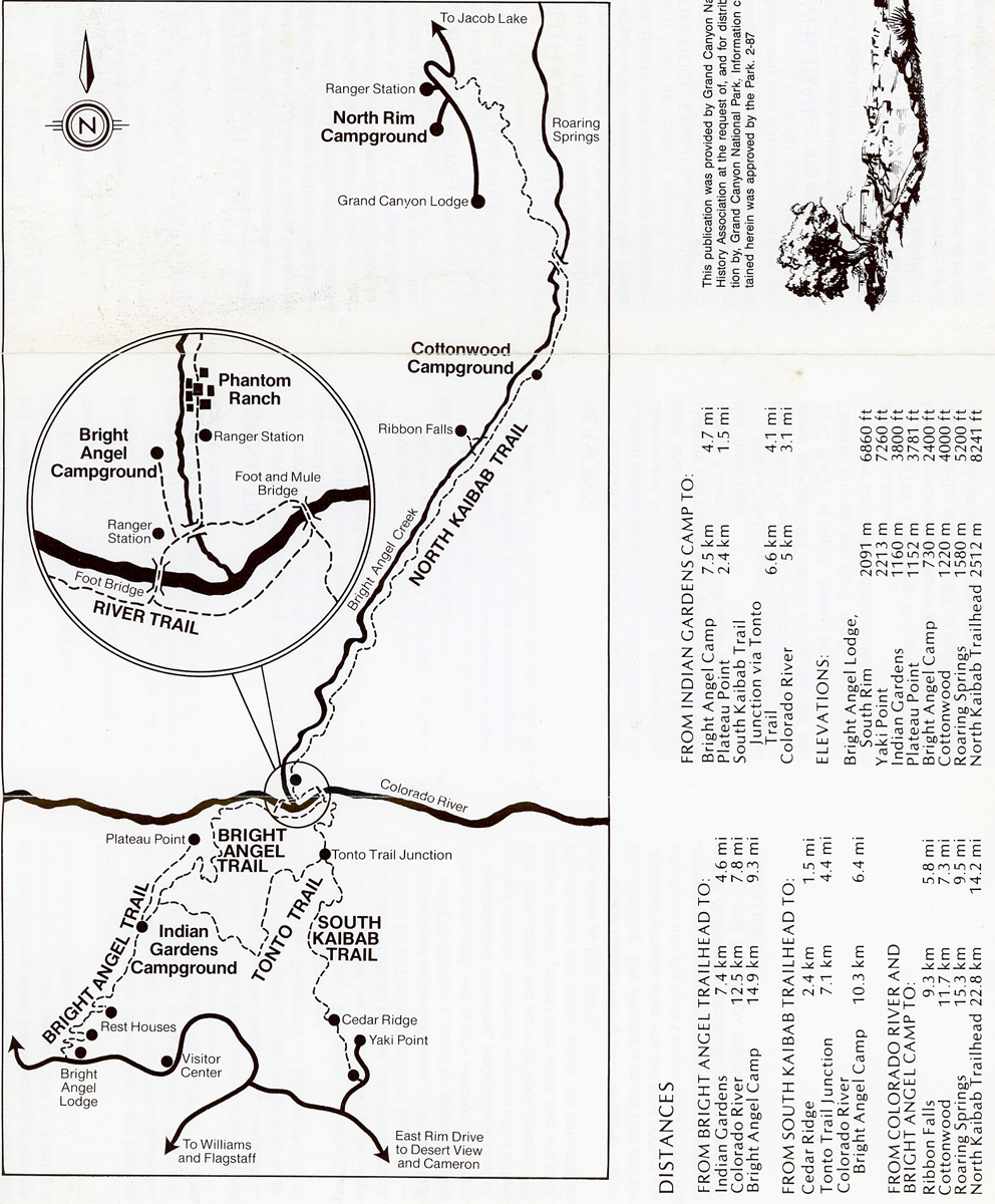
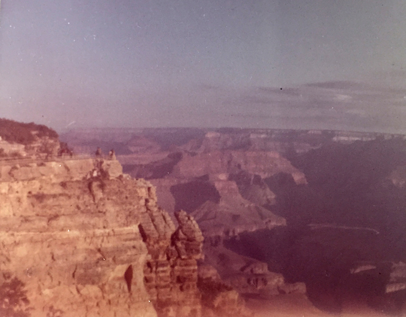
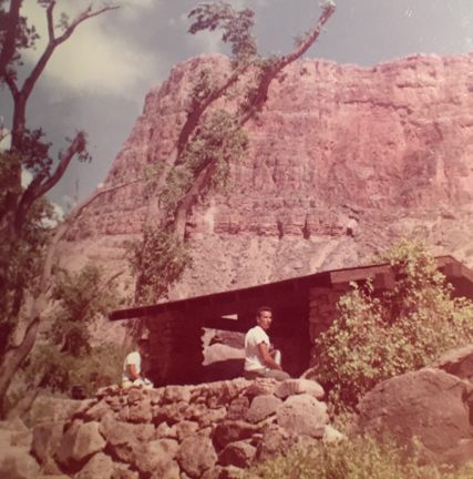
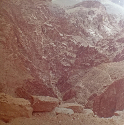
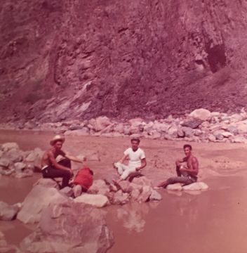
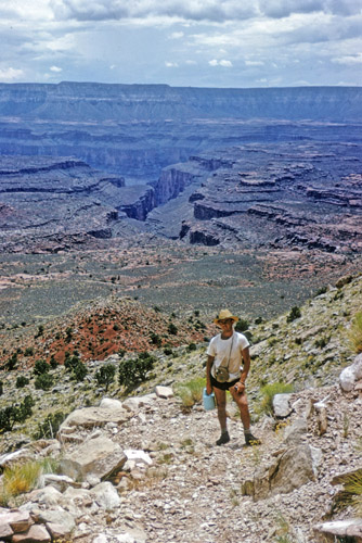
I hiked into the Grand Canyon seven times before I started this Blog in 2008. Since I have not previously posted on Grand Canyon NP, I am beginning the description of my February 2025 trip to the South Rim with a few photos from each of my previous trips to this magnificent NP. My first was in 1963 when I joined Ron, Chuck, and Ray on a cross-country adventure. We took the Bright Angel Trail to the Colorado River. The River Trail to Phantom Ranch was closed.
Morning start
Indian Gardens
Dropping down to the Colorado River
Chuck, Tom, Ron
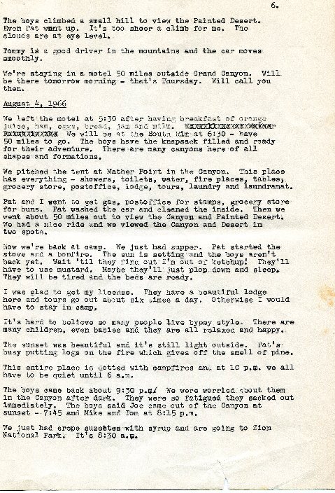
In 1966, I brought my brothers Joe, Mike, and Pat, plus our Mother Cecile on a loop road trip (mostly tent camping) from Chicago to Las Vegas, to LA, to San Fran, to Denver and home. Our photos have disappeared; however, we have a page from Cecile’s Diary for August 4, 1966.
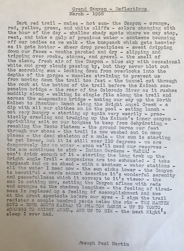
And – a Reflection written by Joe two years later –
In 1967, my friend Jay and I were graduate students at the U of MD. Jay met me in Chicago and we did a 10,000-mile road trip to and through the Western U.S. and Canada. I had hiked down into the Grand Canyon from both the Bright Angel Trail (1963) and the South Kaibab Trail (1966). This time, I wanted to do a trail from the North Rim.
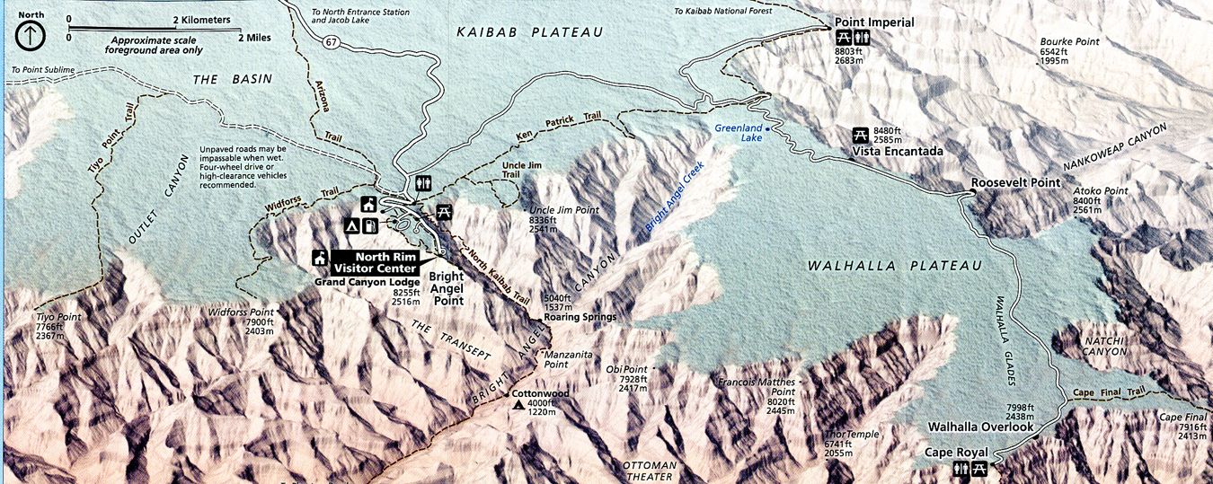
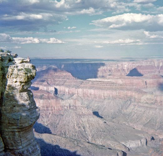
When we arrived, we first drove to Cape Royal for a photo.
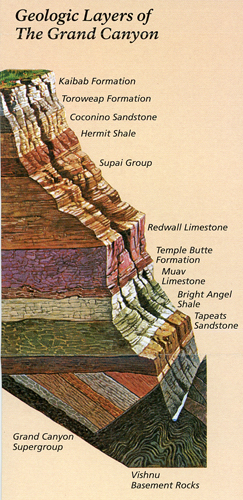
It’s fun to look for the various Geologic Layers as you descend and then ascend the canyon.
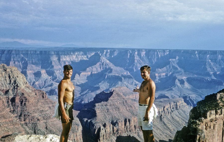
We camped at the North Rim and went to speak with the rangers.
We asked if there were any trails into the canyon from the North Rim beside the popular North Kaibab Trail. They recommended an old Indian trail that started about 13-miles W of the Lodge in the Kaibab National Forest. We asked if we should carry a tent in case of rain. They said, “No, even if it rains on the rim, the water will evaporate before it strikes the ground in the canyon but be sure you cache water along your route down for the trip back up.” The temperature the next day was predicted to be over 100 degrees!
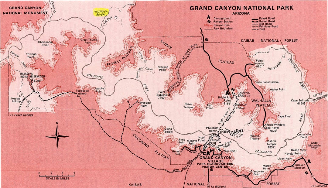
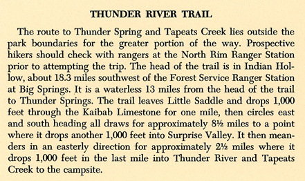
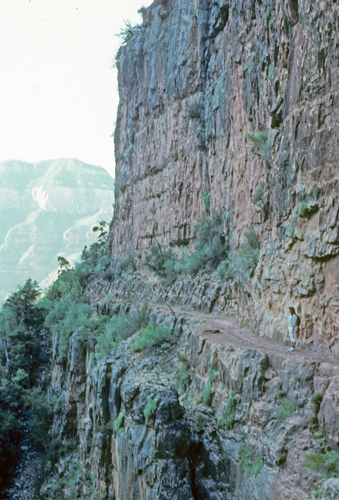
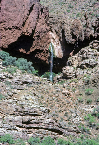
We followed a rough map and cached a gallon of water at two places as we descended. The trail was difficult to follow along the lower plateau to Surprise Valley. Dropping another 1,000-feet, we could hear Thunder River before we could see it. As we came around a switchback we saw that the river came out of the side of the canyon – not over the top! It was an underground spring that became a waterfall as it dropped to the canyon below. It did not take long for us to take off our clothes and enjoy a dip in the cool water.
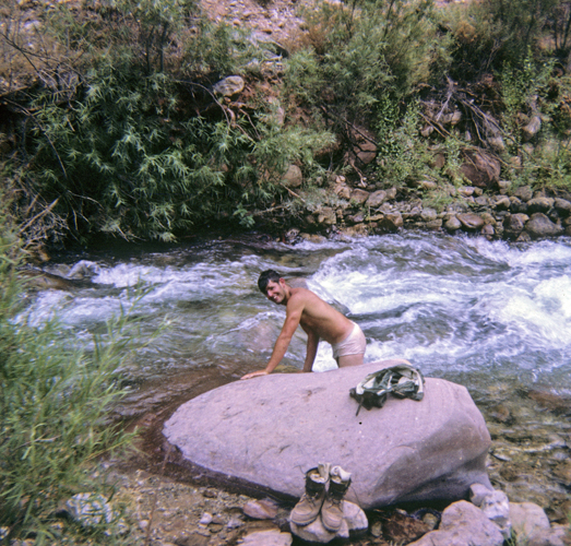
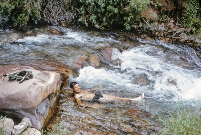
We explored, ate, and then laid out on the ground for the night. Well, about 11pm a Big Thunder/Lightening Storm hit. We took cover under a rock outcrop but had trouble sleeping as the storm raged. I swore that in the future I would do my own weather forecast in addition to getting advice from the rangers. The next morning, it was easy to follow the trail up the switchbacks. However, when we got to the first plateau, we found the trail and many of the carons (markers) had been washed out! We both went searching for the trail. Jay found it two canyons over and I scrambled over to join him. It was a brutally hot day, and we were only able to find one gallon of our cached water. We began drinking water out of potholes in the rocks to supplement what we had.
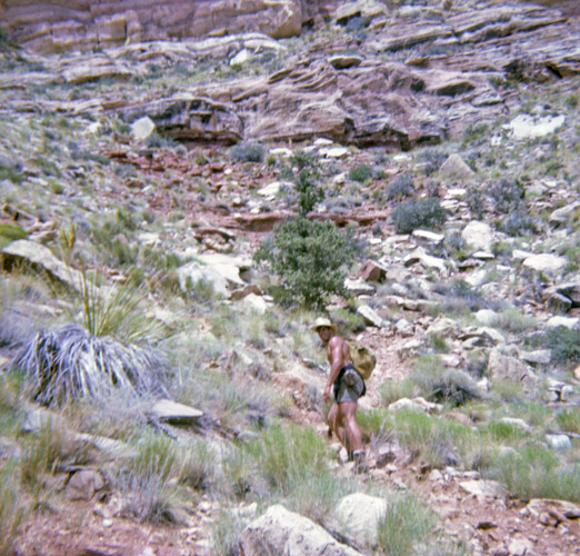
Approaching the trailhead –
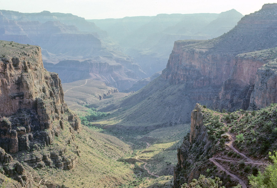
In 1982, on a family trip to Hawaii, I was able to do a half-day hike down the Bright Angel Trail and then on to Plateau Point, 12-miles roundtrip and 3,100ft change in elevation.
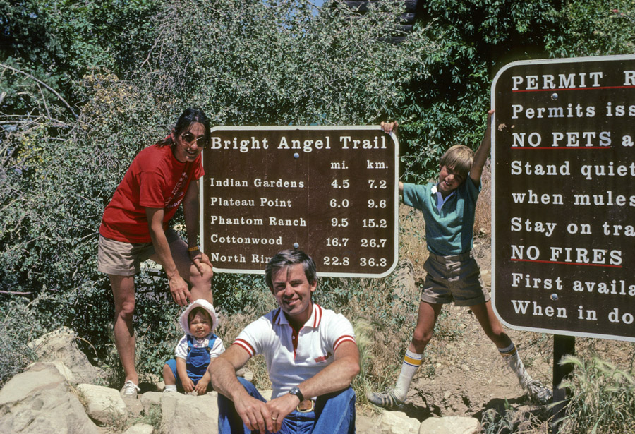
Photo showing trail down as well as continuing to Plateau Point.
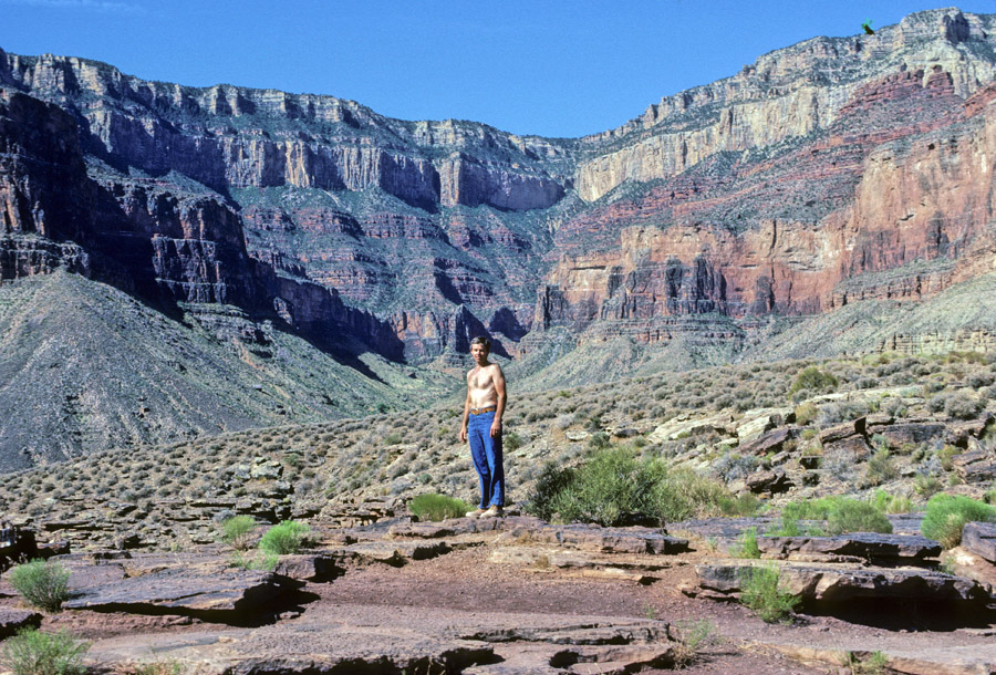
Paleface at Plateau Point –
River looking West, Cheops Pyramid
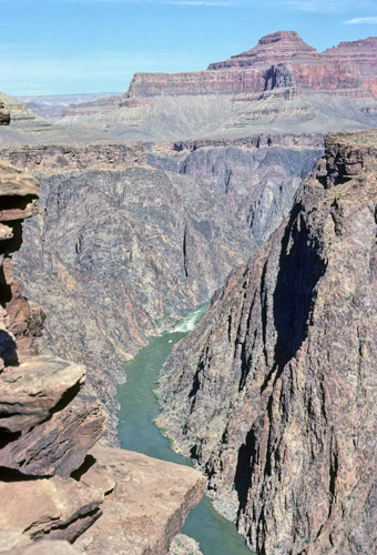
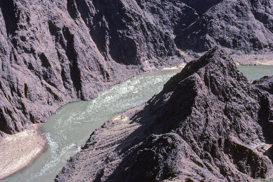
Raft going through Granite Gorge
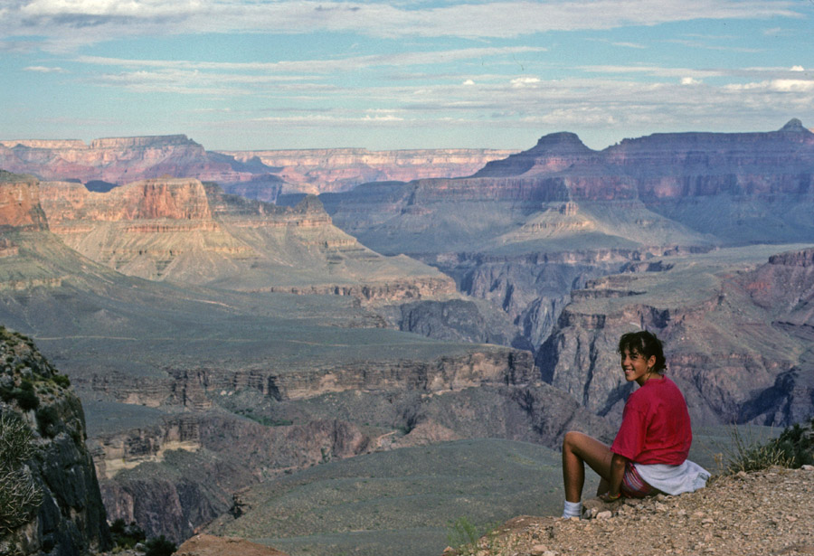
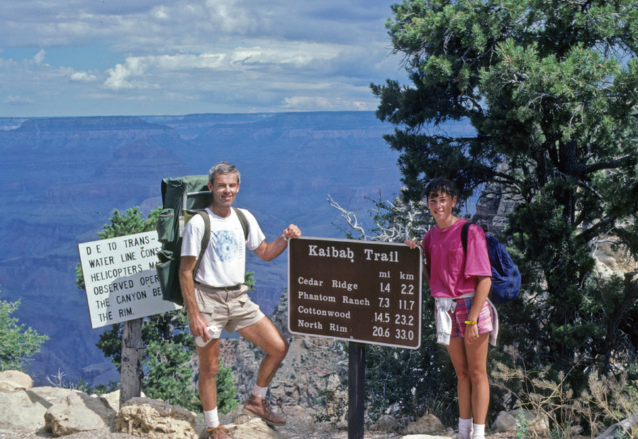
In 1987, Stacy and I hitch hiked 210-miles from the South Rim to the North Rim of the Canyon. The distance is 20.6-miles Rim to Rim via the Kaibab Trail.
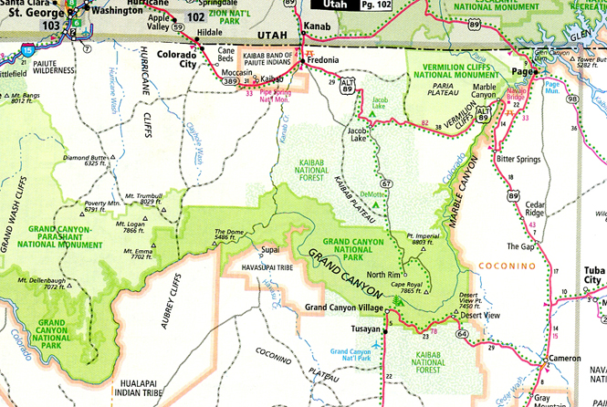
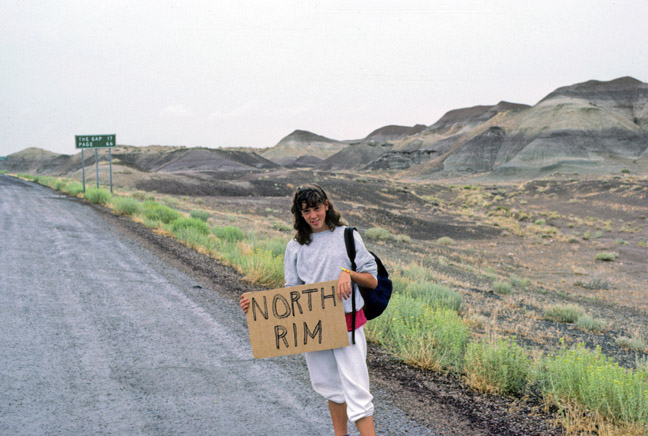
Stacy’s Diary – July 28th Got up kind of early in the morning and packed our backpacks and ate breakfast. We then headed for the road with our thumbs and sign (How embarassing!!!). Our first ride was 2 ladies, 1 from Holland and 1 from Switzerland. They were real nice and took us to the junction to Monument Valley. Our 2nd ride was this pickup truck with 3 indians in it. We rode in the back and by now it was raining and this lady was doing 90, so evidently we froze. Our last and 3rd ride was 2 German couples in an RV. They were real nice too and took us to the lodge at the North Rim.
There we heard a ranger talk and the weather was so cold that the canyon couldn’t be seen through the windows behind her because all of the clouds settled in it. After the talk we walked to the campground and set up our tent. Then we went to hear another ranger talk. That night it went down to 47 degrees and we froze in our tent.
July 29th
We woke up at about 5:00am and started our hike down. For about 3 hours the sun didn’t come out from behind the clouds but when it did it was brutal. It took us about 7 hours to get down to the ranch. Since we were all hot and gross, we went to look for the pool. When we got to the canteen I heard the most discouraging words of the whole trip! “The pool’s been closed up for about 15 years!!” I was real ticked but we went swimming in Bright Angel Creek and that was nice. Dinner that night was great. We had stew and ate family style. Then we went to another ranger talk about geology. Then we went to sleep.
July 30th
We got up at about 4:15, took down the tent and in an hour we left. The weather was real good for us–no sun!! and we got out at 10:15am. The trail was real steep in parts but it wasn’t as bad as I thought it was going to be. Then we went to the deli for lunch and I got a T-shirt. Then we drove to Glen Canyon dam and took a tour. We got settled in our campsite and drove to the store to get food. This guy there told us about how great the steak house was so we went there–I wasn’t impressed. Then we went “home” (van) and slept.
North Rim Lodge, which has since burned down.
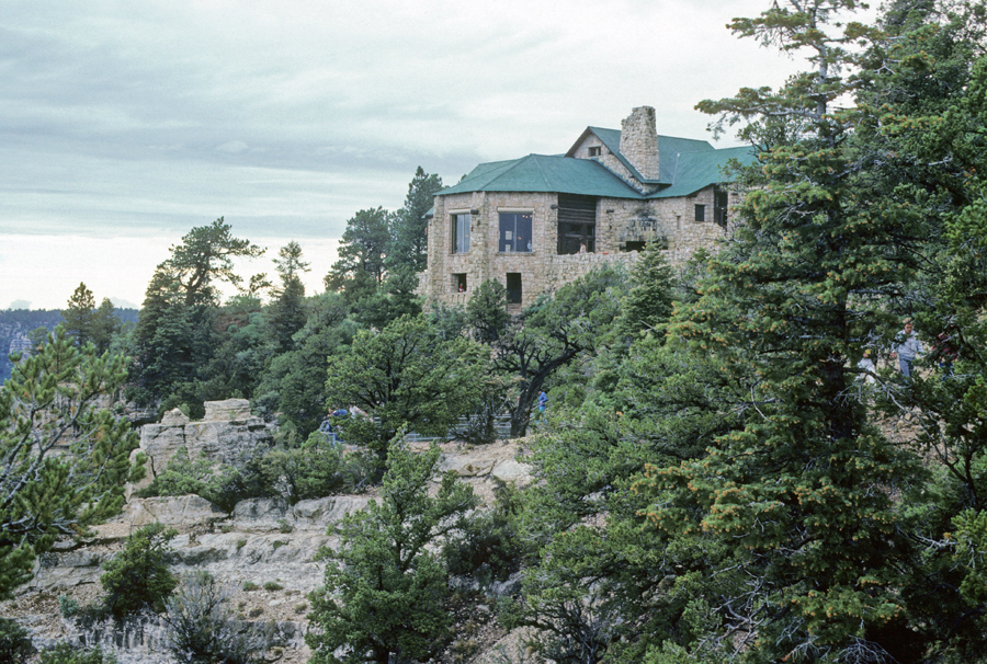
Bright Angel Point 8,153ft
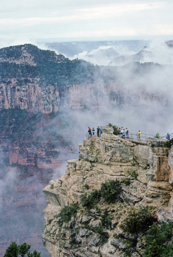
Bright Angel Canyon descending to Colorado River
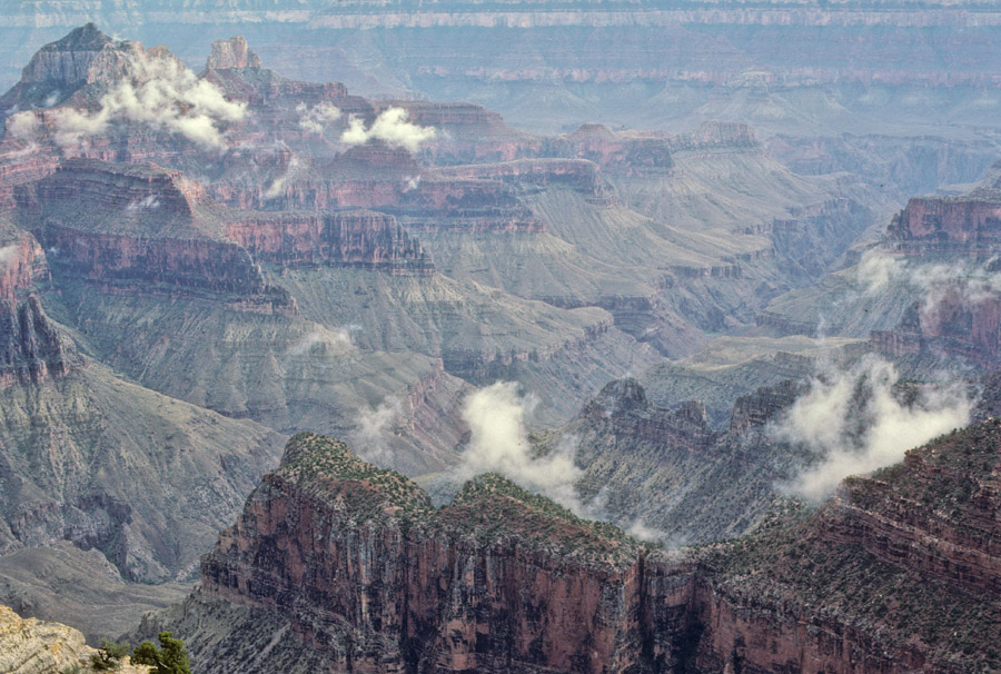
Roaming Springs Canyon
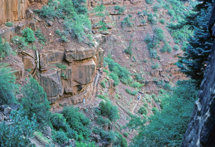
North Kaibab Trail
Standing on rock at Ribbon Falls
Following Bright Angel Creek
Bright Angel Canyon
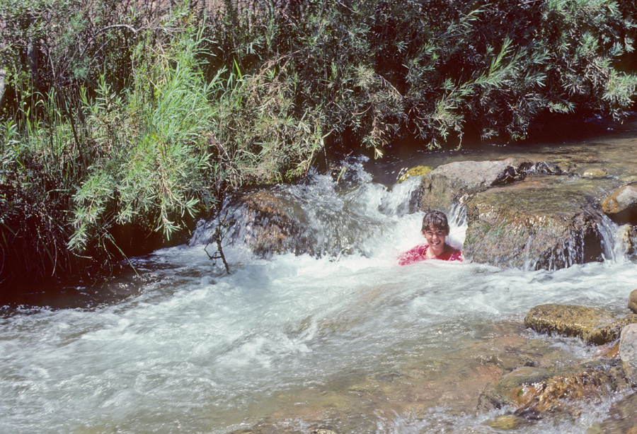
Cooling Off in Creek
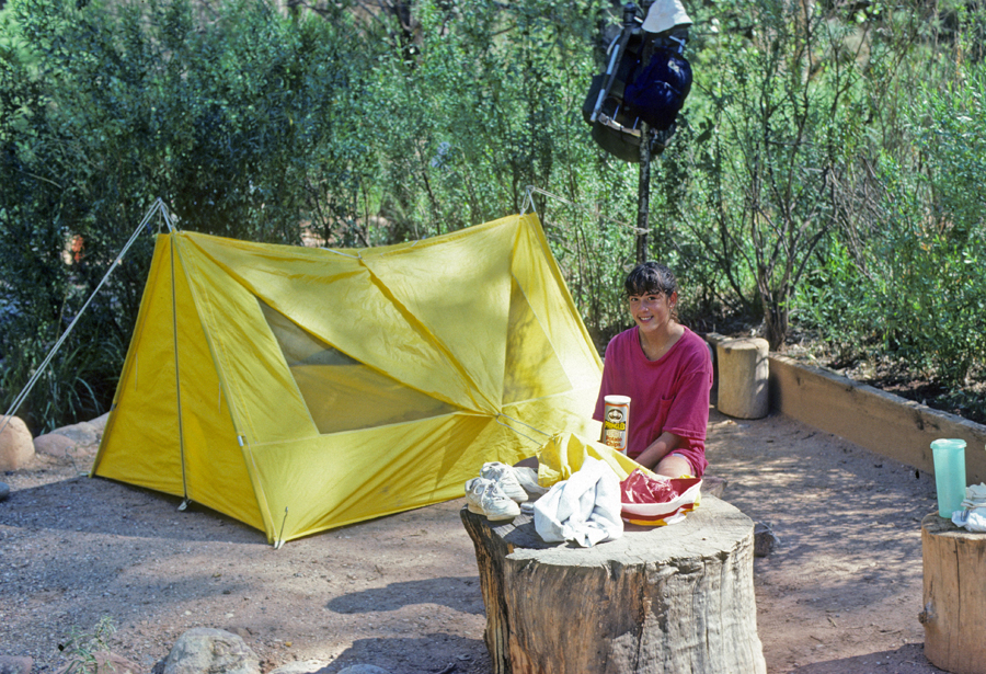
Bright Angel Campground – on August 29, 2026 a flash flood resulted in the destruction of the campground, bridges on the North Kaibab Trail, and infrastructure. In addition, three hikers died.
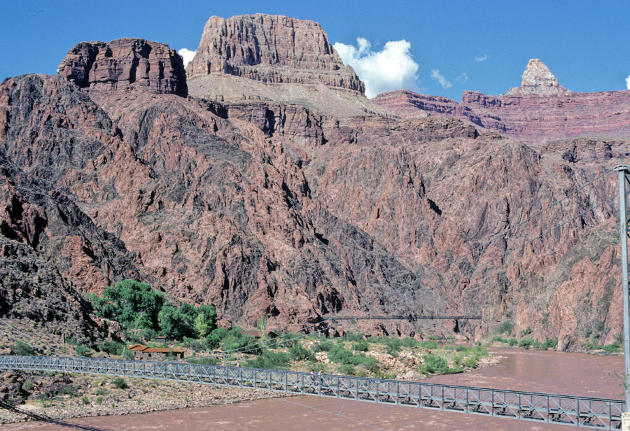
Suspension trail bridges across Colorado River
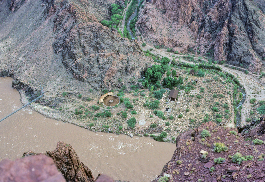
Looking back at mule coral, after starting our ascent of the South Kaibab Trail
7-miles Up 4,700-feet!
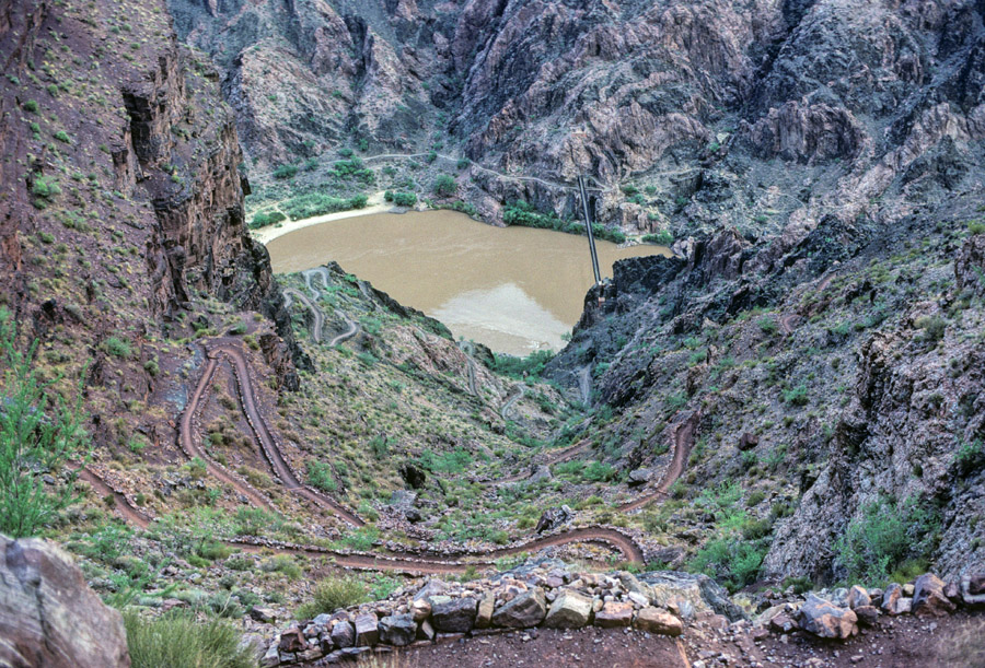
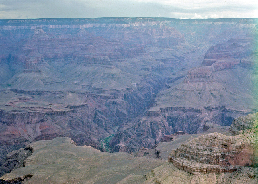
Bright Angel Canyon and North Rim
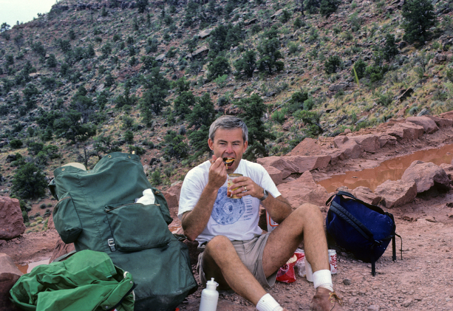
Lunch – Spaghetti-O’s
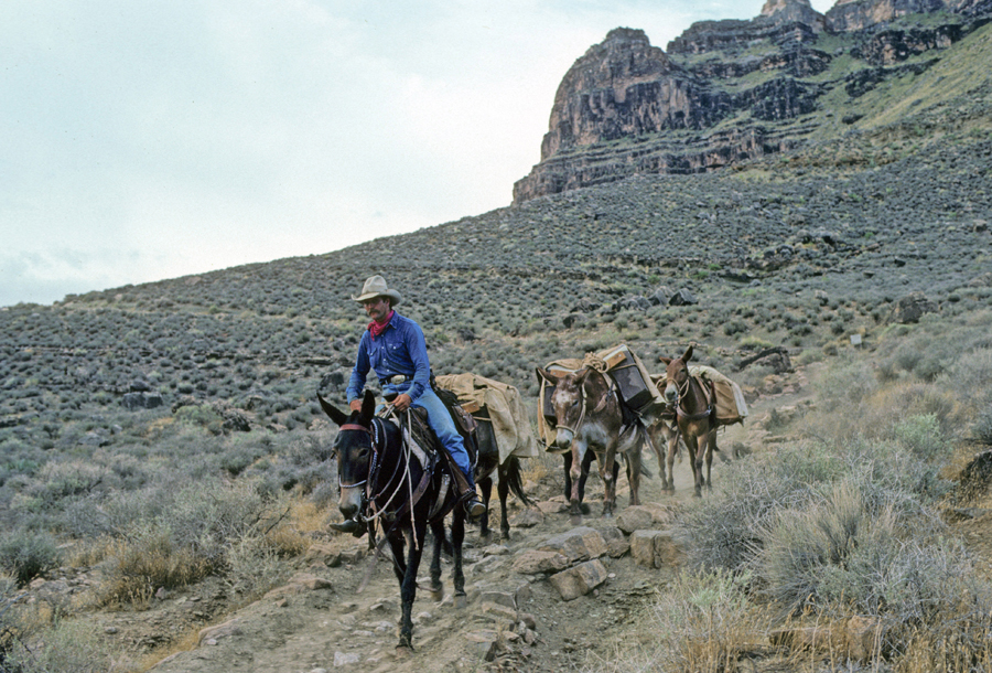
Wrangler bringing supplies to Phantom Ranch
Mission Accomplished –
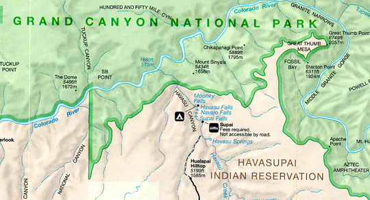
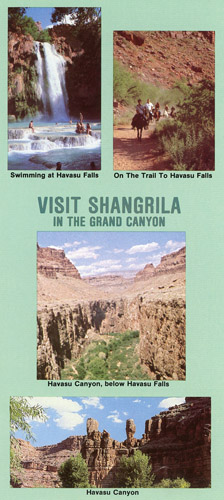
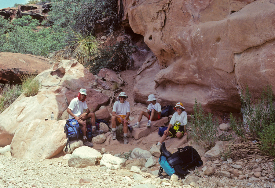
In 1992, Helen, Kate, Chad, Manuel (student from Canary Islands), and I hiked 8-miles from Hualapai Hilltop to the village of Supai on the Havasupai Indian Reservation.
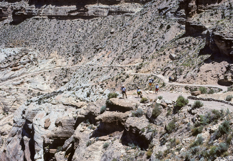
Hot! One of the few places we could find shade –
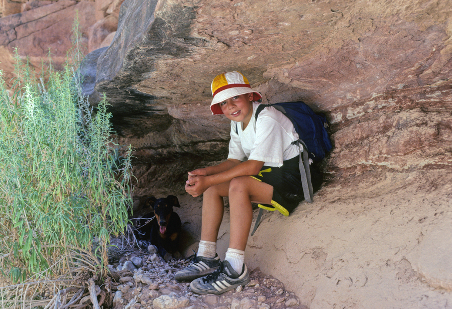
Kate and Chad temporarily adopted “Dobey Canyon Martin” and gave her drinks from their canteens. It encouraged them to keep on going. As we entered the village, we asked who this Dobermann Pinscher might belong to. We received answers from several Indians; “shoot it,” “it’s yours!” . . .It was clear these animals were “treated like dogs.”
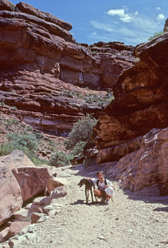
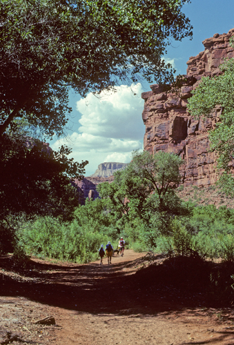
Supai
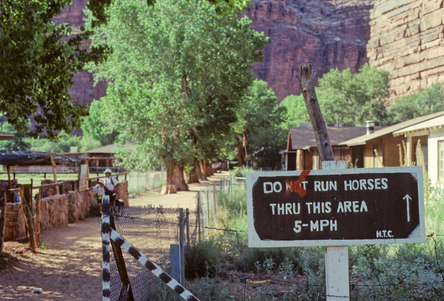
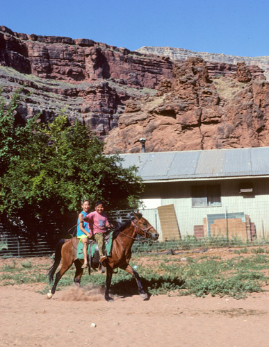
The day after we arrived, Katie was befriended by a young Indian girl who offered her horse for a ride. After much pleading we allowed her (projected cultural experience) to spend part of the day with her new friend. That afternoon, when we returned from the falls, Katie was in tears. It seems that most of the day went well. However, in mid-afternoon the girl asked Katie for money for her rides. When she answered that she had none, the girl was angry.
We packed in our own food but stayed in the Havasupai Lodge for three nights rather than camping. If I had known there was a small café/store in the village, I would have eaten at least one meal a day there. The Havasu Canyon, from Supai to the Colorado River, is noted for its waterfalls. On our first full day, we hiked to Supai Falls. These falls were totally changed after a 2008 flood.
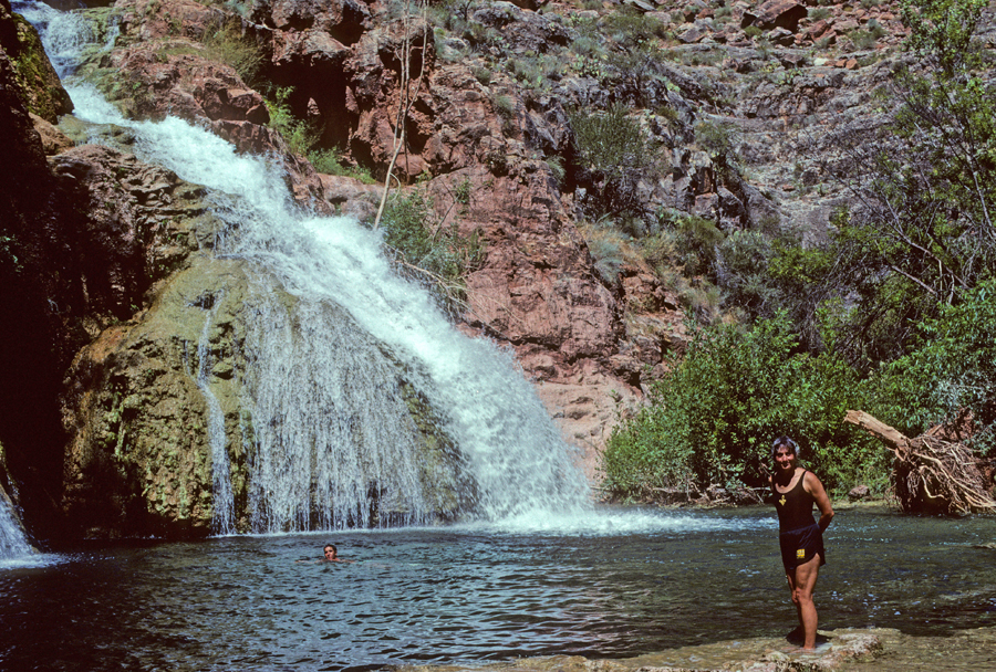
Navajo Falls before 2008 flood
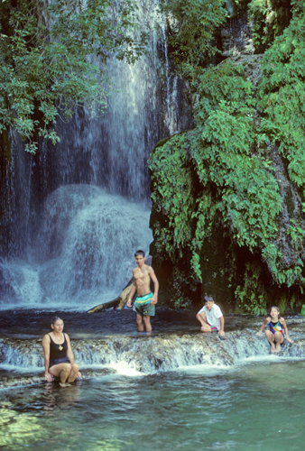
and Havasu Falls
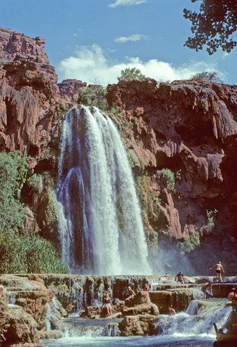
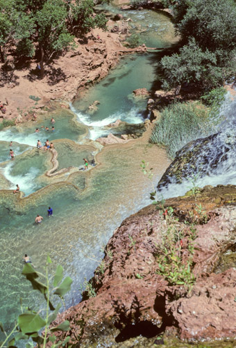
View from top of Havasu Falls showing the aqua marine water and limestone terraced pools.
The next day we spent the morning swimming and enjoying the pools formed at the bottom of Havasu Falls.
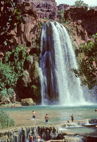
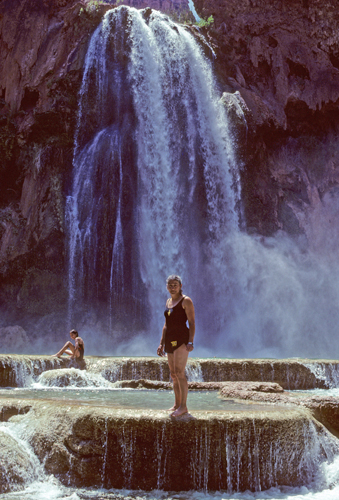
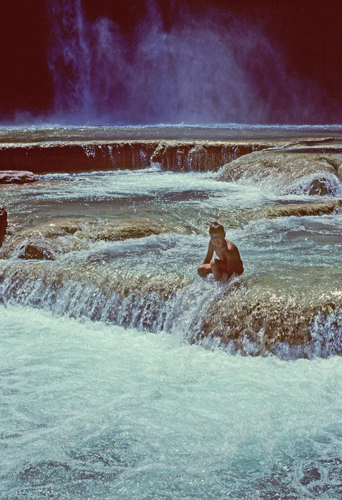
I told Helen to “Go Jump in the Lake” and she did –
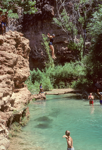
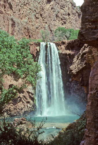
In the afternoon we hiked further down the canyon to Mooney Falls.
The kids had fun using the rope swing at the base of the falls
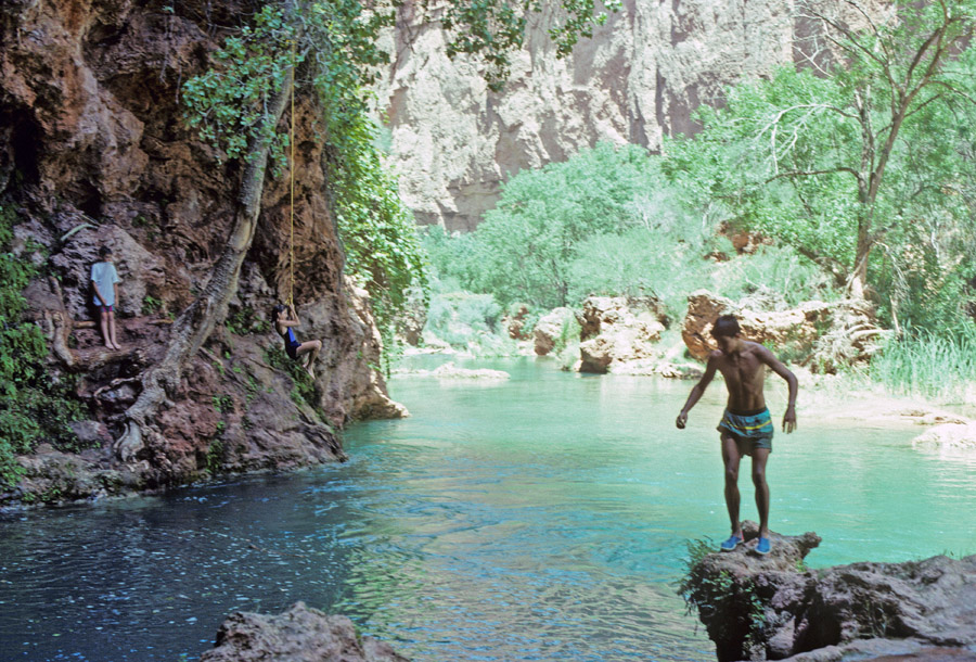
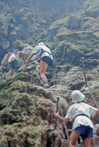
Hiking back to the top of Mooney Falls
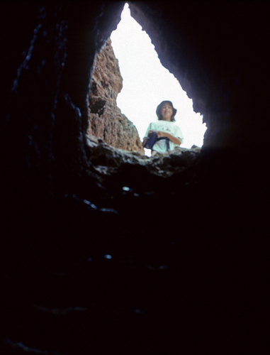
You had to pass through a rock tunnel
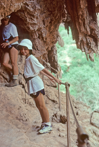
The next day, we were up before sunrise to hike out (8-mi, 2,000ft elevation gain) and avoid the hottest part of the day.
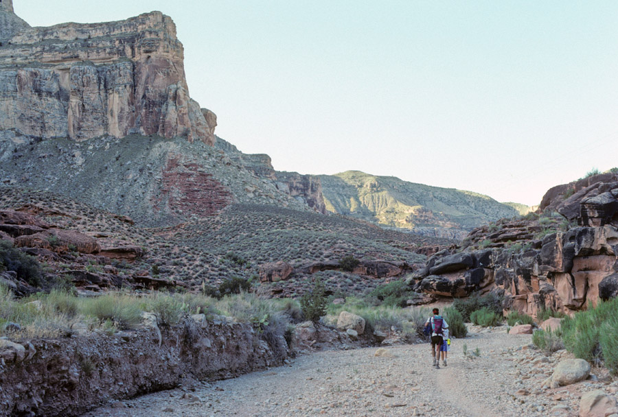
When we got back to Hualapai Hilltop, we discovered that our GMC van had been broken into by the Indian Security Guard – that is a long story for another time!
This trip is worth doing, however, treat your security as keenly as you would in the inner city.
In 1998, hiking into the Grand Canyon was one of several activities that Chad and I did on his 15-year-old “bonding” trip with Dad.
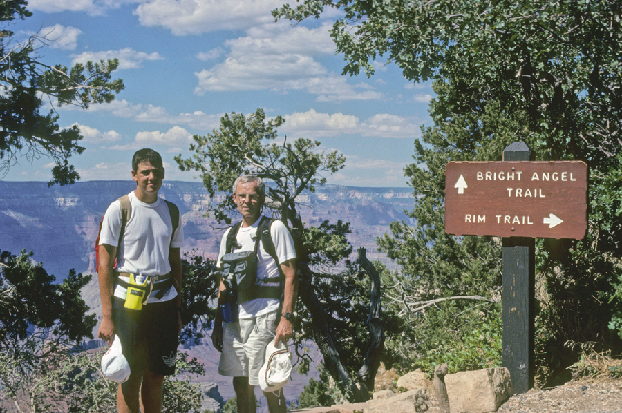
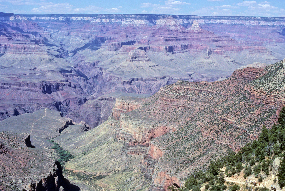
Good view of Bright Angel and Plateau Point Trails
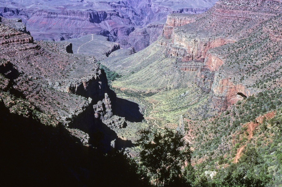
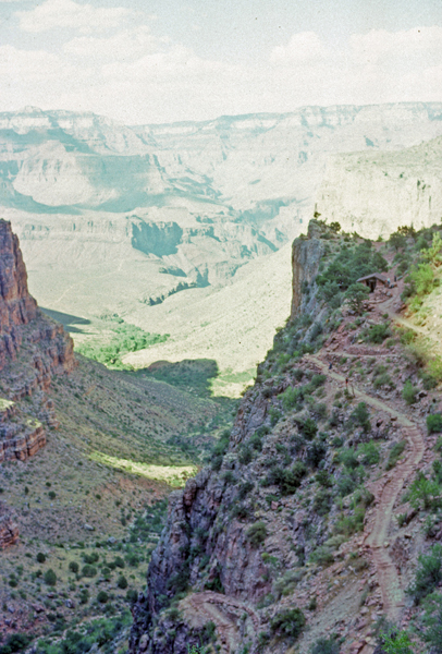
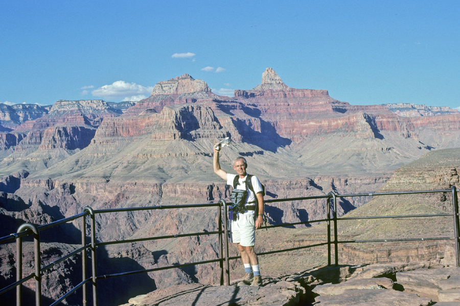
We hiked the Bright Angel Trail to Indian Gardens and then on to Plateau Point .
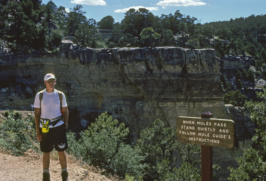
Note the Mule Train in the lower right corner of the second photo –
2nd Rest House
Plateau Point
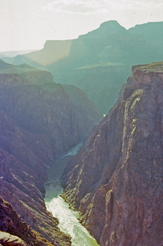
Colorado River looking West
3,200ft up and 6-miles to get back to the South Rim
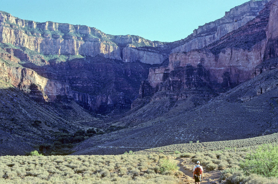
Blog for March 2009 – The sixty-one-mile dirt road passed through a section of Grand Canyon Parashant NM near Mt Trumbull, and it took us two hours to reach the Grand Canyon. The last five miles were very bad and I could not go much over 3 mph.
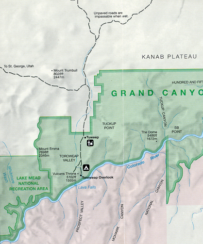
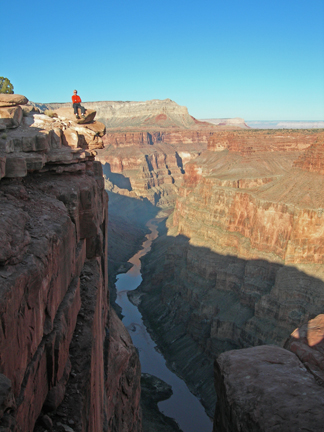
The Toroweap Overlook is 3,000 feet above the Lava Flow Rapids of the Colorado River at one of the narrowest and deepest segments of the inner canyon.
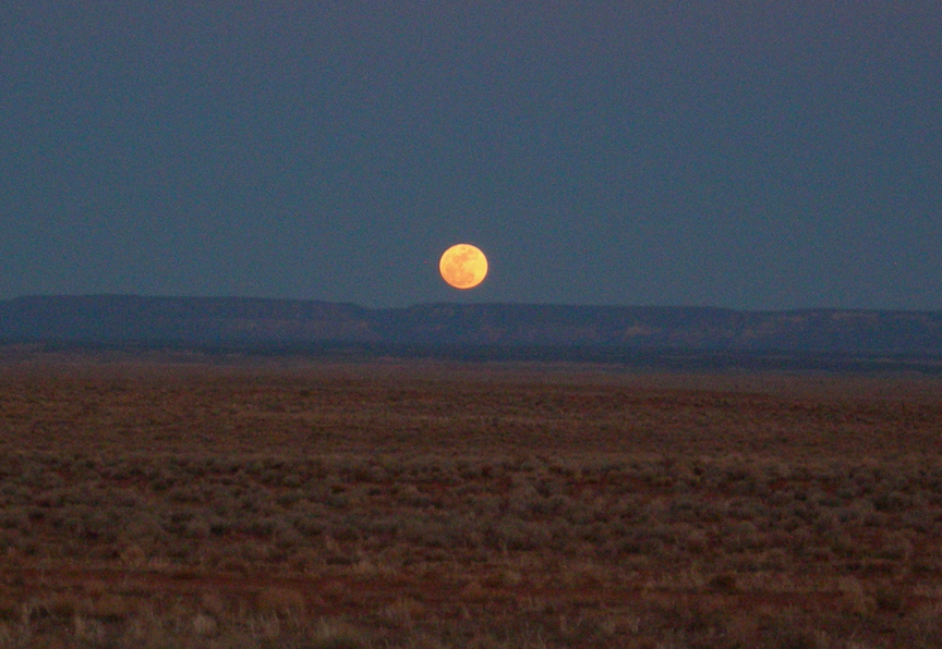
Rising of the Moon
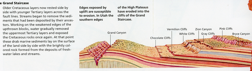
Grand Canyon in relation to the Grand Staircase
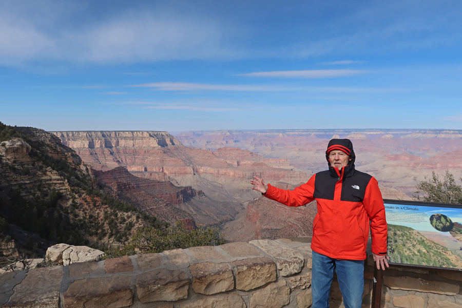
2/11/25 Tu – Drove north 4hrs from Scottsdale AZ to the Tusayan Ranger Station for Kaibab National Forest where I picked up information and a vey helpful map of the USFS Tusayan Ranger District. I then proceeded 6 miles to the South Rim of Grand Canyon NP. Despite some sun, the temperature in the low 40s with a strong wind, made for a cold day. Photos are from Mather Point.

Drove east about six miles to Grandview Point on the South Rim and then, after about two miles, turned south into Kaibab National Forest.


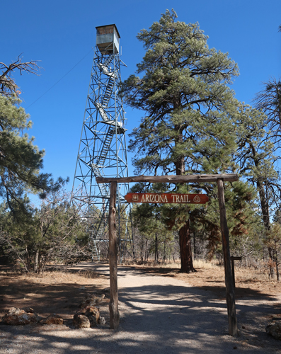
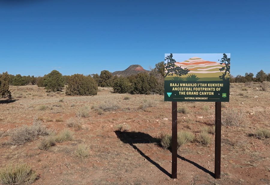
My first stop was the USFS Grandview Tower in Baaj Nwaavjo I’tah Kukveni – Ancestral Footprints of the Grand Canyon NM.

I held on tight as I climbed the 80-foot 1930s steel tower in high winds. This photo was taken looking north toward the South Rim of the Grand Canyon.
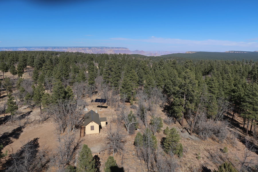
President Biden designated this National Monument in 2023 after a request from the 13 tribes of the Grand Canyon Tribal Coalition. There are large sections of the NM both south and north of Grand Canyon NP.
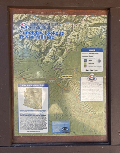
I then did a short hike on the Arizona National Scenic Trail, which starts on the AZ-UT border, passes through the Grand Canyon, and continues south for over 800 miles to the Mexican border.

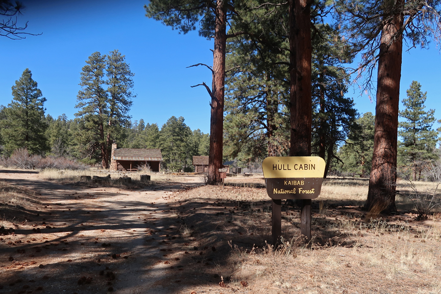
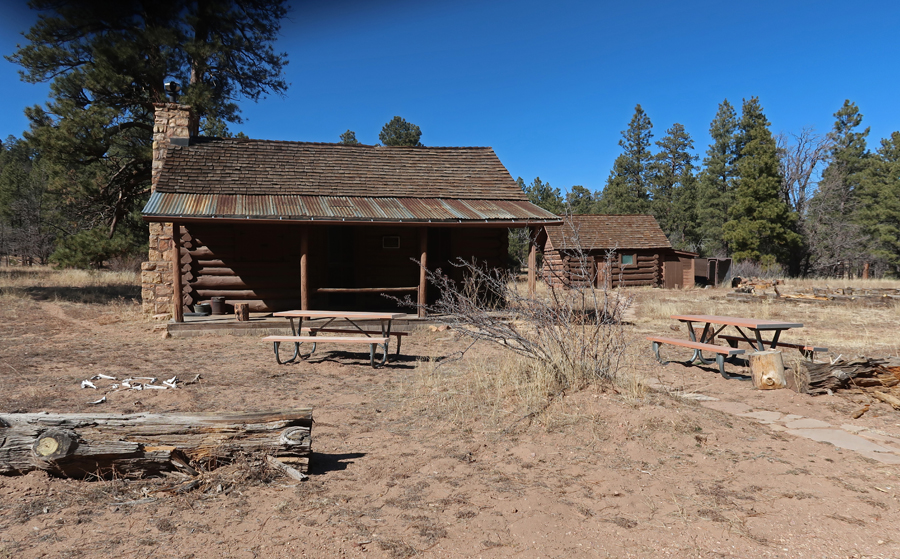
The 1880s Hull cabin, which is on the National Register of Historic Places, is 2-miles from the tower and can be rented from the USFS. William Hull raised sheep and was one of the first to take tourists to the Grand Canyon.
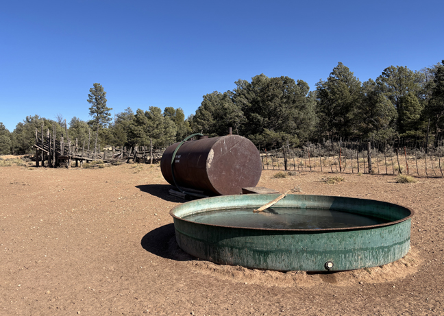
I then drove Forest Service roads to a gate and water tank about a half mile from the Old Grand Canyon Airport.


My last stop was the start of the Red Butte Trail.
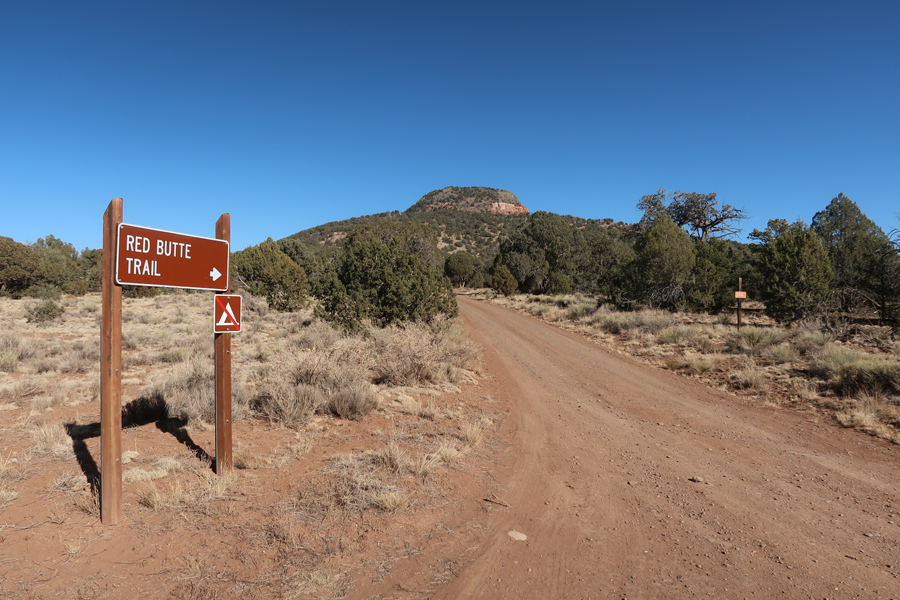
The 2.4-mile rt trail leads to the Red Butte USFS Fire Tower and the top of Red Butte (7,326ft). The trail gains about 1,000ft in elevation.


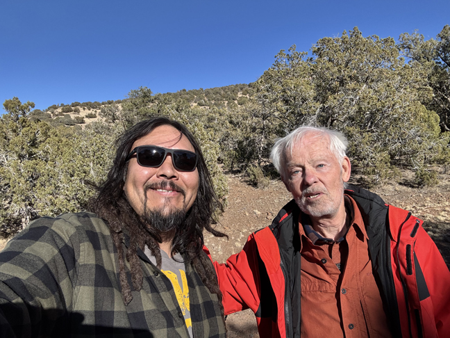
Red Butte is sacred to the Havasupai Indian Tribe that live in the Grand Canyon. I met Bobby, an Indian from the Four-Corners area at the trailhead. Among other things, he is a photographer and had just finished flying his drone around the top of Red Butte.
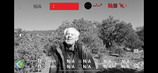
One frame of his drone footage of me –
Departing the NM –
Returned to the Holiday Inn Express in Scottsdale AZ
2/12 W – Spent the day in the Phoenix area. Drove around Camelback Mountain looking for the location from which George Bickerstaff may have painted the landscape oil that we have in our living room. Bickerstaff was an early nineteenth-century American Expressionist painter.

This is the view from the porch of the JW Marriott Scottsdale Camelback Inn on Lincoln Dr. This photo was taken looking South. The real location may be NW from here in the Paradise Area, OR, it is not a painting of Camelback Mountain!

Camelback Mountain from the airport train when I arrived (view looking North) –
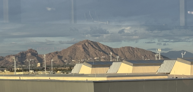
Another view looking North, from the South side of Camelback Mountain – this looks more like the painting.

View from Arizona Falls, which are man-made, on the Arizona Canal that runs through Phoenix. There is a small hydroelectric plant there.


I then visited Papago Park next to the Phoenix Zoo.
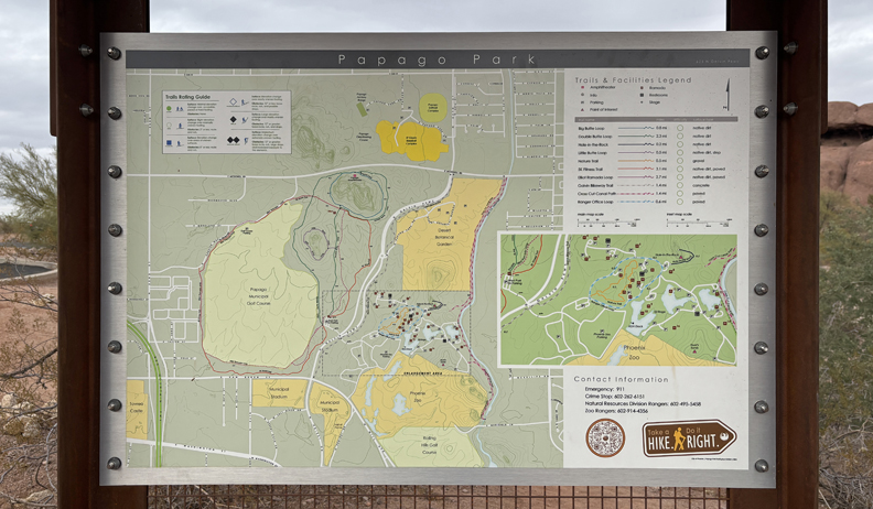
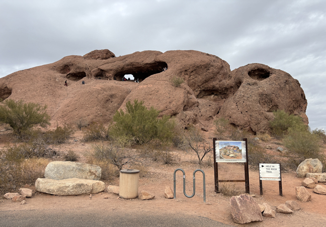
Did the short hike to “Hole in the Rock,” a red rock butte.

Only a half mile round trip.
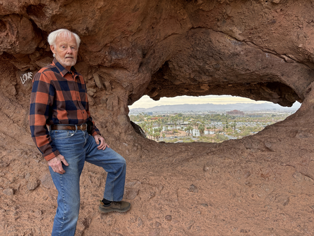
Looking East toward Zoo through “Hole in the Rock”
2/13 Th – 4hrs (212mi) from Scottsdale AZ to Corn Springs CA in Chuckwalla National Monument (BLM). See Chuckwalla MTNS Area south of I-10. Gravel Road to Corn Springs Campground and Corn Springs Mining Area.
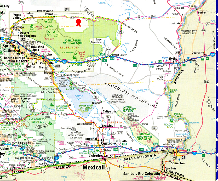
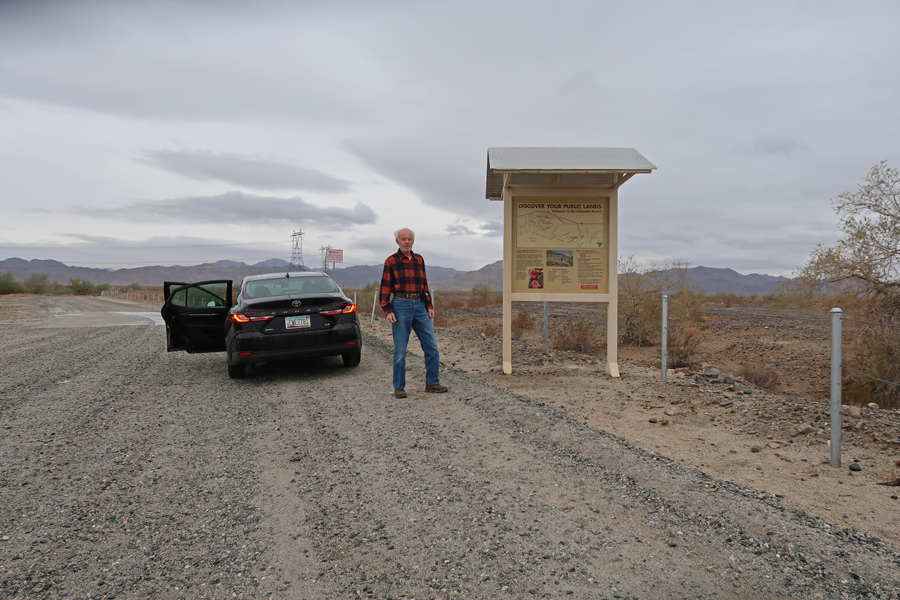
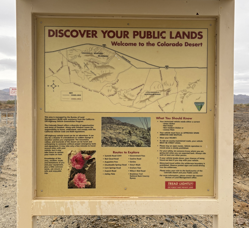
The new NM is in the Colorado Desert of Southern CA that protects 624,270 acres of desert habitat in Riverside and Imperial counties from development. The monument spans several mountain ranges between Joshua Tree National Park and the Chocolate Mountain Aerial Gunnery Range, designated a NM on 1/14/2025, shortly before President Biden left office. Corn Springs Palm Oasis and Campground.
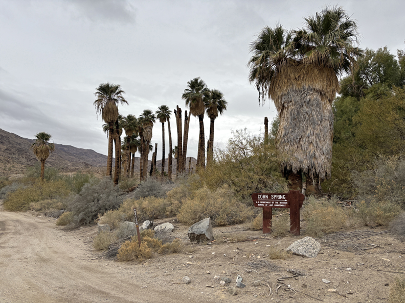
0.5 Mile Interpretive Trail – it was a cloudy day with the temperature getting up to about 55 degrees. Also, there was scattered rain, which is very unusual in this desert location.

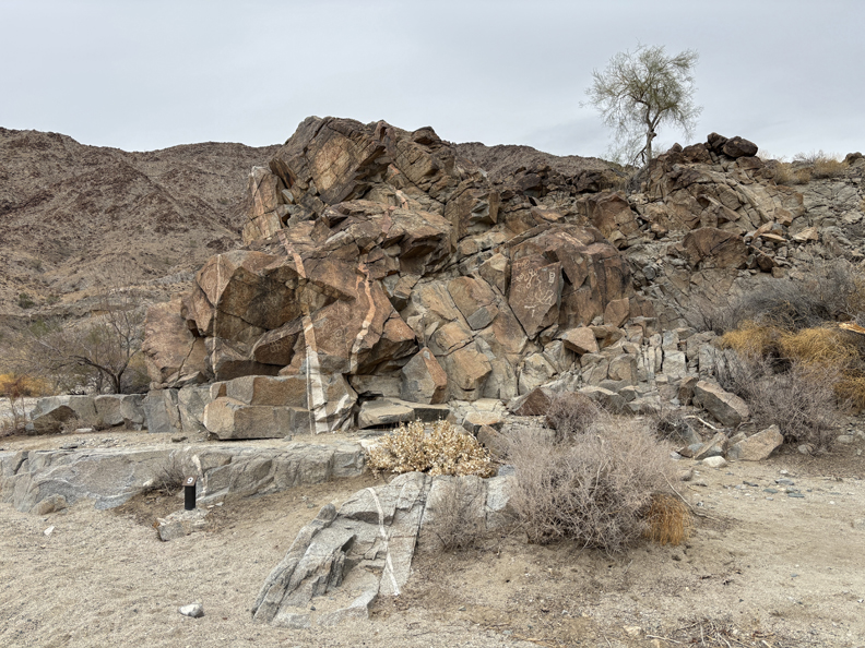
Petroglyphs – some said to be over 10,000 years old, others grafitti.

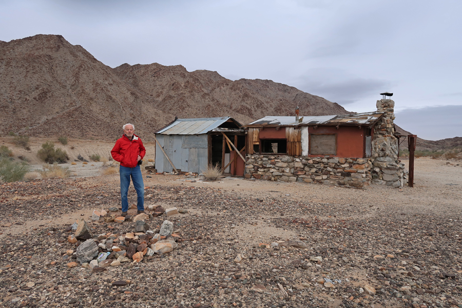
Edward Wodetzki’s Miner’s Cabin and remains of a mill.

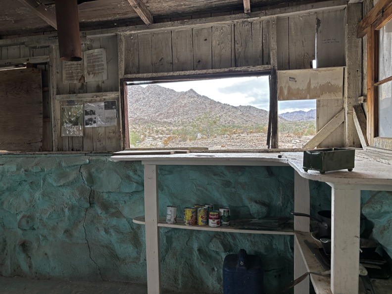
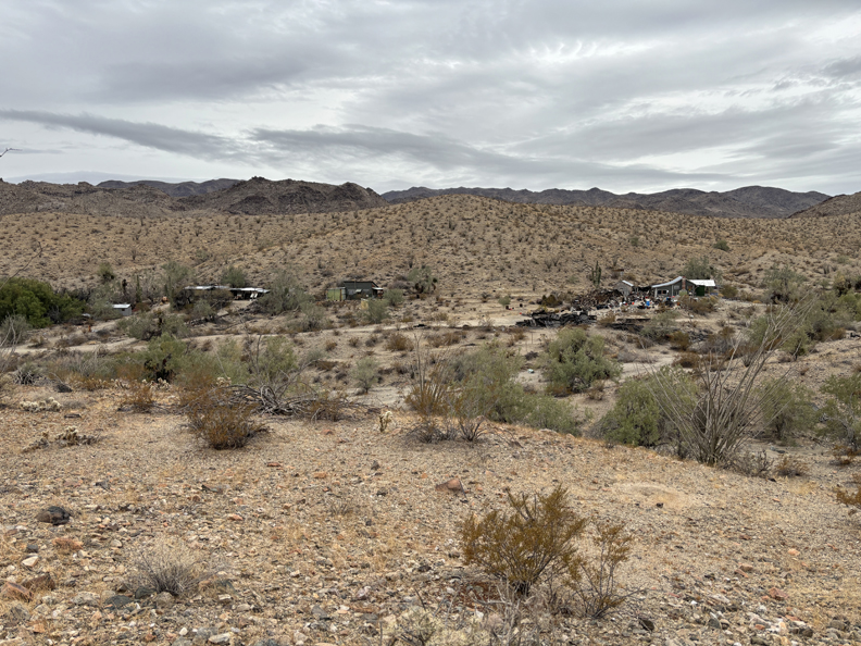
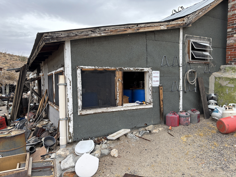
Corn Springs Mining Area – sign on building states “Active Mining Claim.”

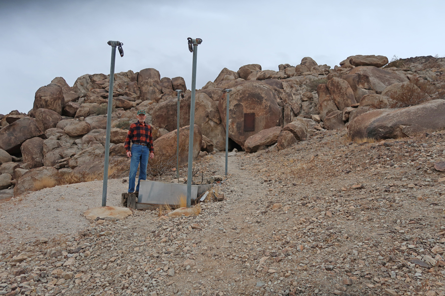
It took about an hour to return to I-10, drive to the Desert Center Exit, and then drive a short distance to the location of Desert Steve’s Cabin and his plaque at the base of Alligator Rock, which is within the new Chuckwalla NM.


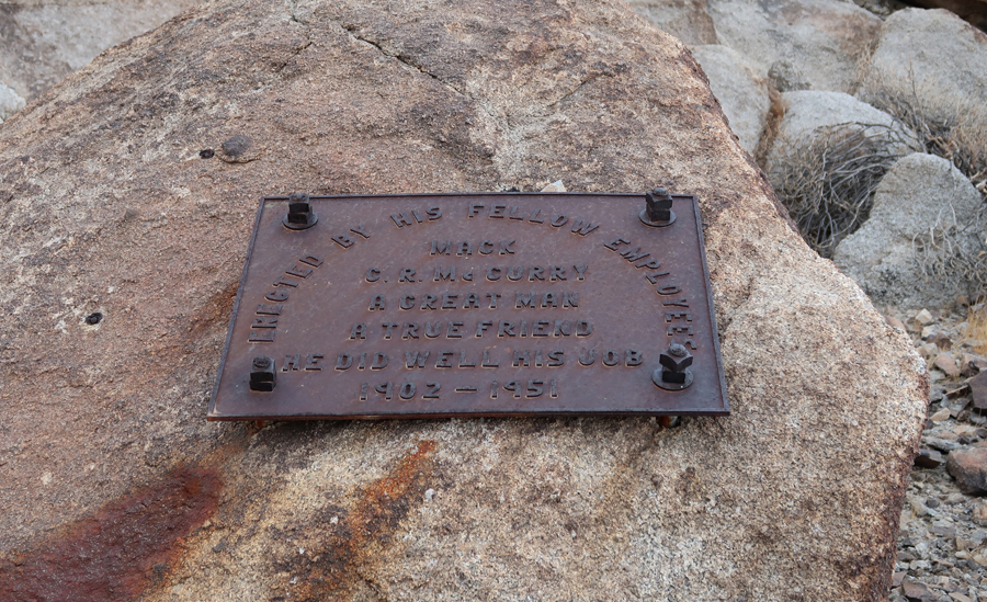
There is another plaque there as well – Mack, “He Did Well His Job.”

I hiked to the top of the alligator’s head and looked down his spine. Alligator Rock has spiritual and cultural significance for local tribes.
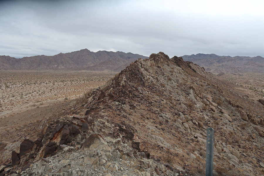
I-10 from the top of the alligator’s head –
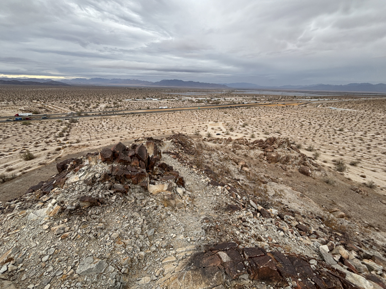
It took about 15-minutes to drive to the Edmund C Jaeger Nature Sanctuary, which is also within the new NM.

Some nice balanced rocks there –
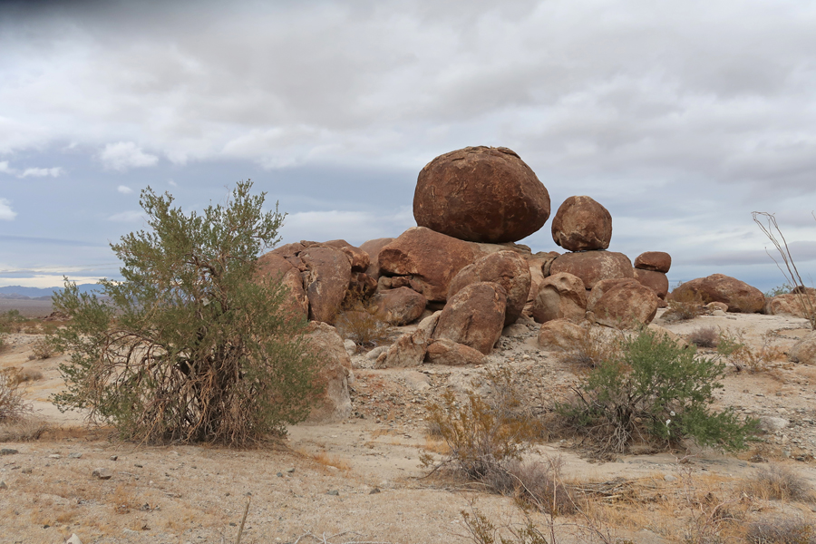
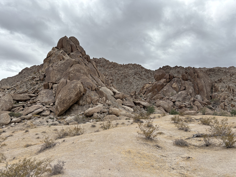
2.5hrs (135mi) from Edmund C. Jaeger Nature Sanctuary to Yuma AZ.
2/14 F – Valentines Day – I arrived at West Wetlands Park, which is on the Colorado River in Yuma AZ, at about 8am. It was my first stop in Yuma Crossing National Heritage Area (NHA). Yuma is close to both the CA and Mexican borders.
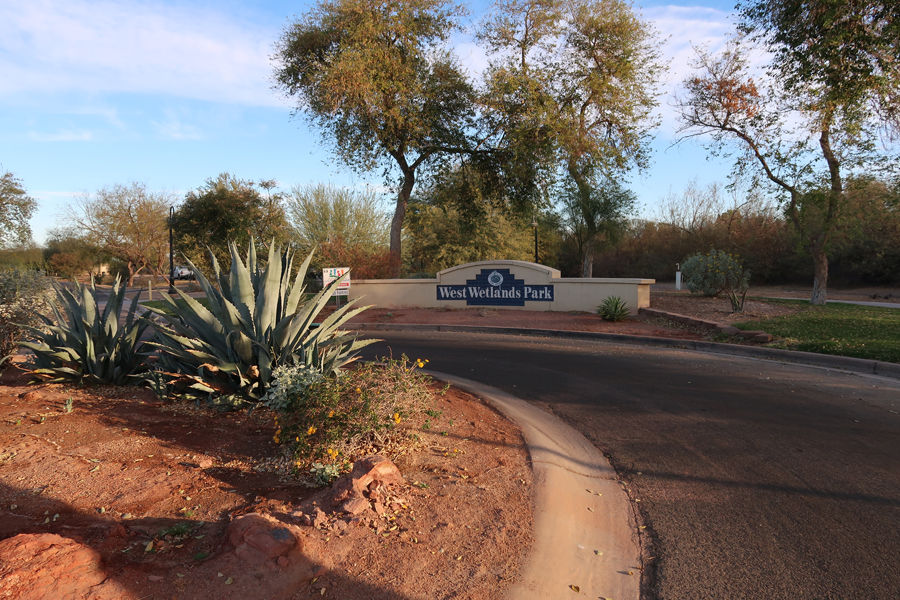
There was an interesting Mormon Battalion Monument – “Army of the West” in the park just past this trail bridge. The battalion marched 2,100 miles from Iowa to Southern California establishing the first wagon route to the Pacific Coast – watch out for Rattlesnakes!

The statue is of Philemon Merrill who led the battalion (~500 enlisted and volunteer men). The Battalion was operational from 1846-1847 during the Mexican American War.
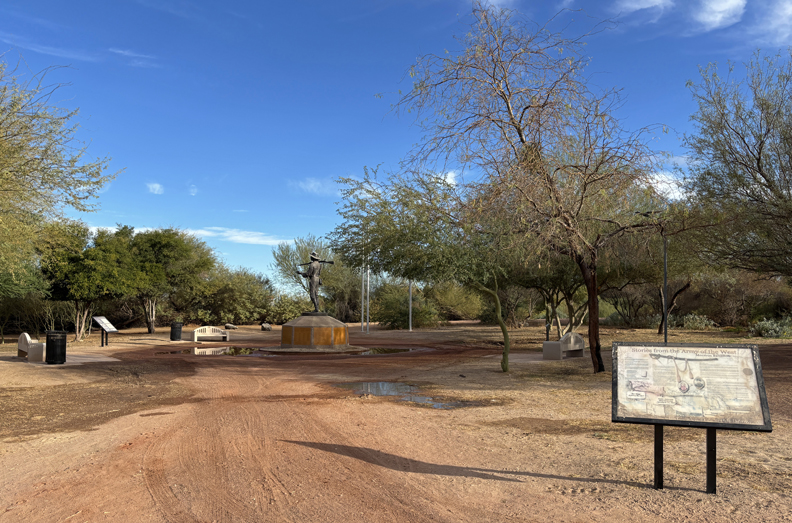
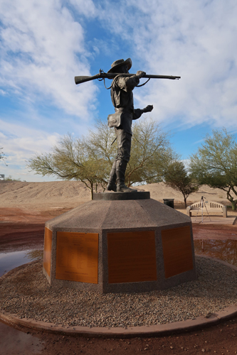

This map shows some of the major sites in the Yuma Crossing NHA that are east of West Wetlands Park.

In 1775-76, Spain sent the Juan Bautista de Anza expedition 1,000 miles from Sonora Mexico to Alta CA to establish a route to settle the port of San Francisco. The local Quechan tribe assisted the expedition in crossing the Colorado River at present-day Yuma. Yuma is one of the sites along the NPS Juan Bautista de Anza National Historic Trail.
I stopped by the Old Yuma City Hall to pick up some literature from the office of Yuma Crossing NHA. According to the Guinness Book of Records, Yuma AZ is the “Sunniest City on Earth!”
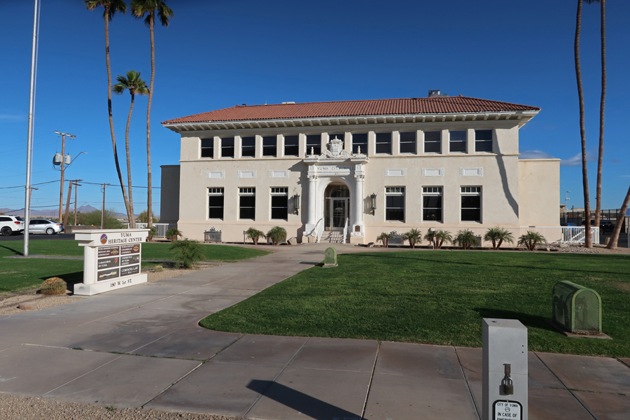
My next stop was the Colorado River State Historic Park.
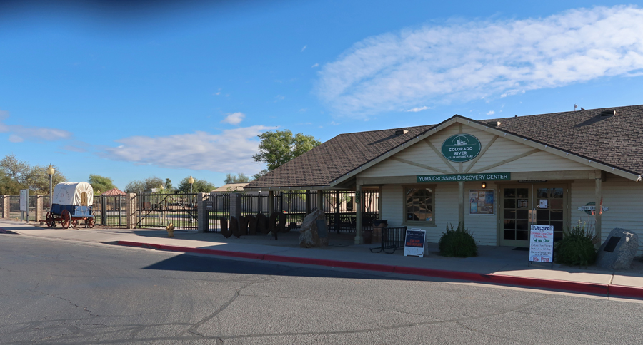

This was the location of the Southwest Army Quartermaster Depot 1865-1883.

In the late 1800s, steamboats delivered Army supplies up the Colorado River to Yuma for storage and disbursement to Indian War forts. Note the steamboat on the Colorado River.
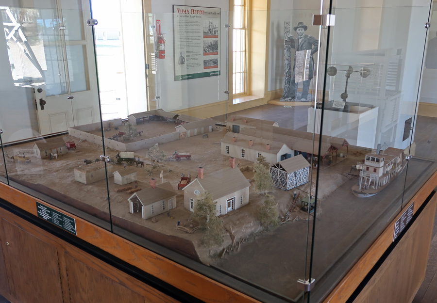
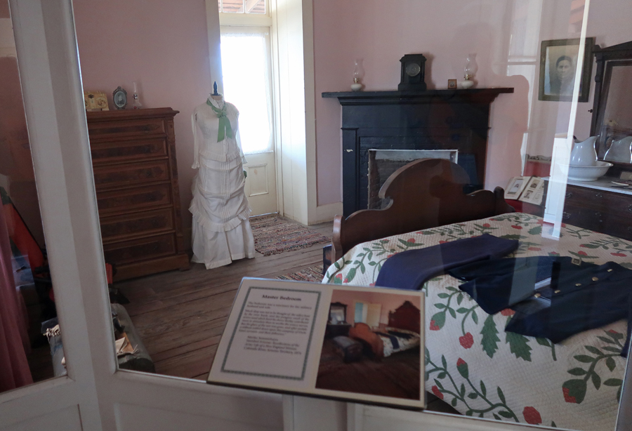
There are period displays in the former Officer Quarters –
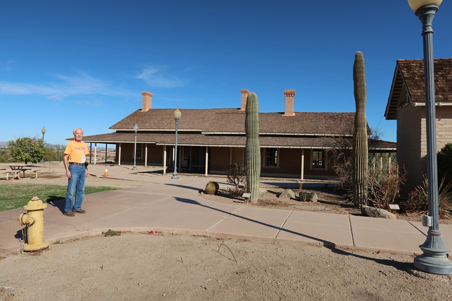

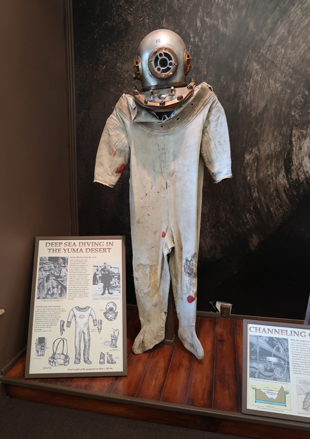
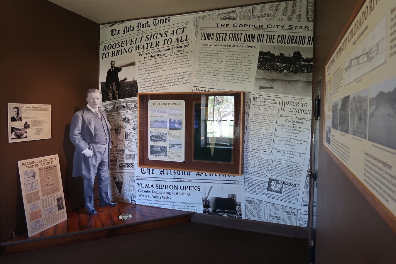
The Bureau of Reclamation Building presents the history of Colorado River development in Yuma.

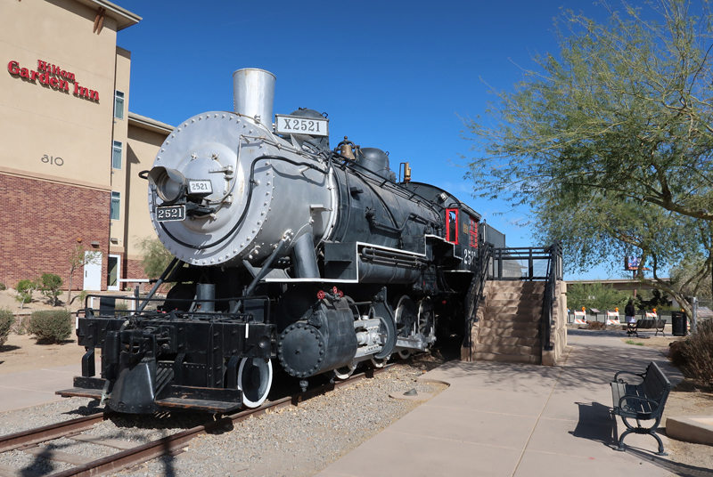
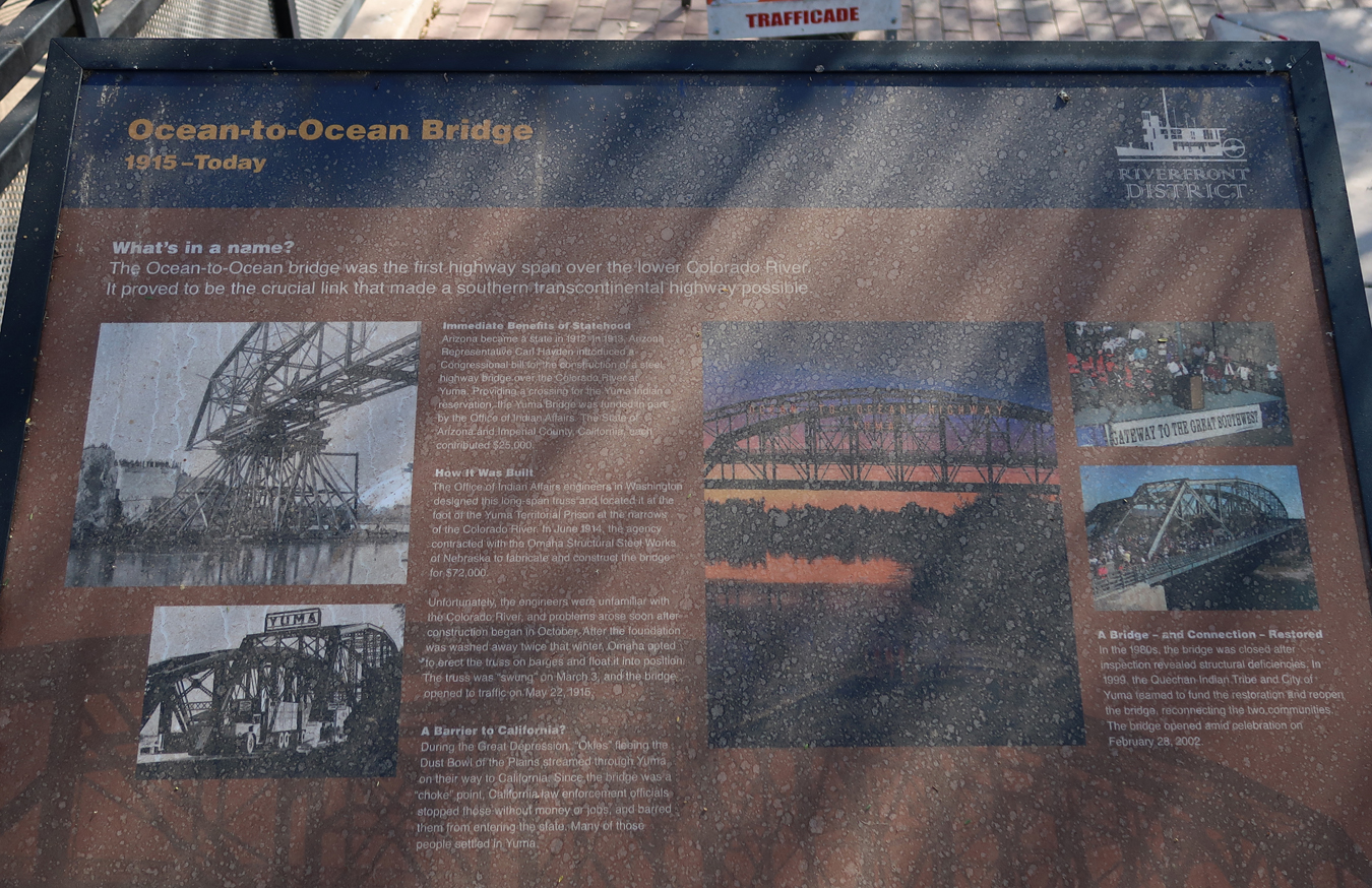
A short distance away is the Pivot Point Bridge, “Ocean to Ocean Bridge,” crossing the Colorado River – location where the first train entered the Arizona Territory in 1877. This is a 1907 Southern Pacific Baldwin steam locomotive. A Southern Pacific Hotel was located here from 1881 to 1926.
The Historic Sanguinetti House Museum & Gardens is nearby. E. F. Sanguinetti (1867-1945) built the house, which is considered a “Jewel of Historic Yuma.” E. F. Sanguinetti (1867-1945), an Italian Immigrant, built the adobe house in 1882. As a result of his many businesses, he became known as the “Merchant Prince of Yuma.”

The Yuma Territorial Prison overlooks the Colorado River.
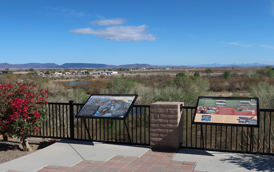
A reconstructed Guard Tower for the Prison is located here.


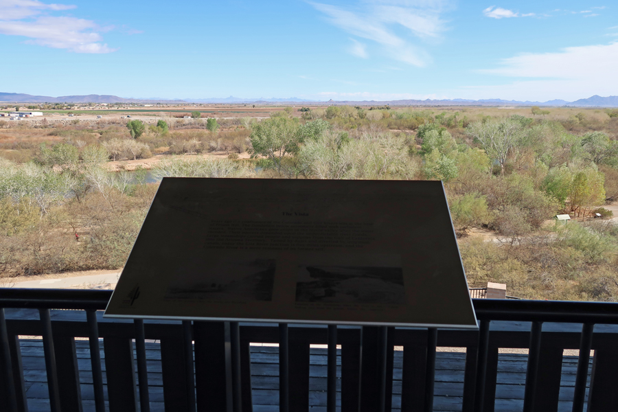
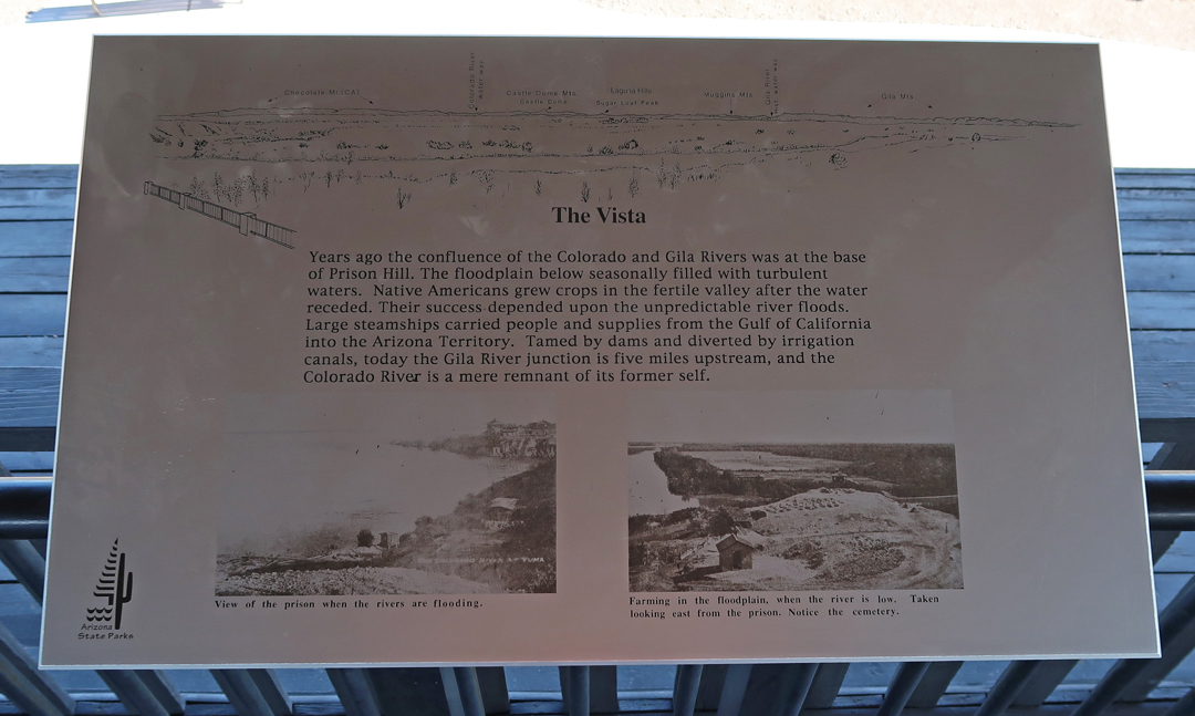
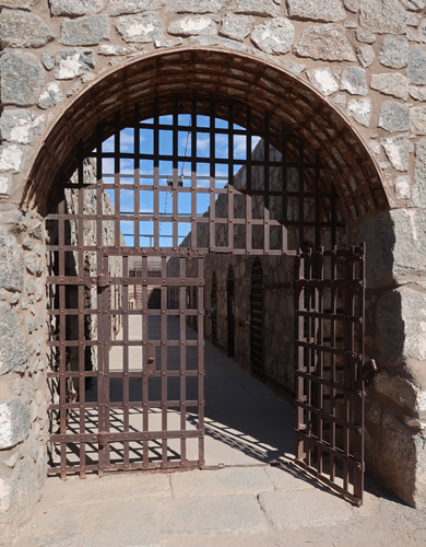
Sally Port into Prison –

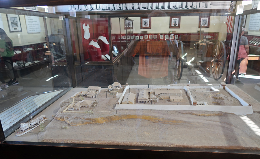
The Prison Museum was very interesting presenting the history of the location as well as the male and female inmates. Model of the Yuma Territorial Prison (1876-1909).
Gatling rapid fire gun –

One example of a woman prisoner –

Hanging display –
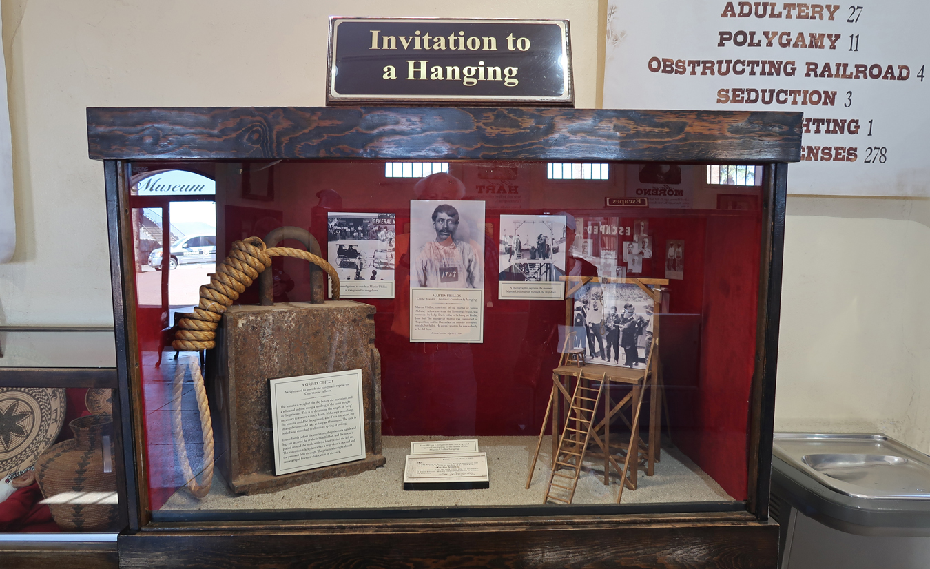
Crimes –

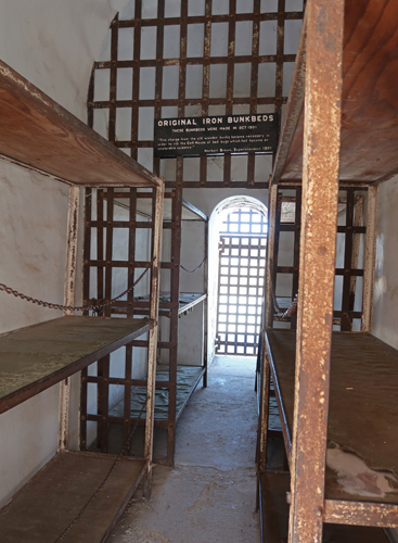
Cell Block –

Iron Bunkbeds –
Examples of prisoner crimes –
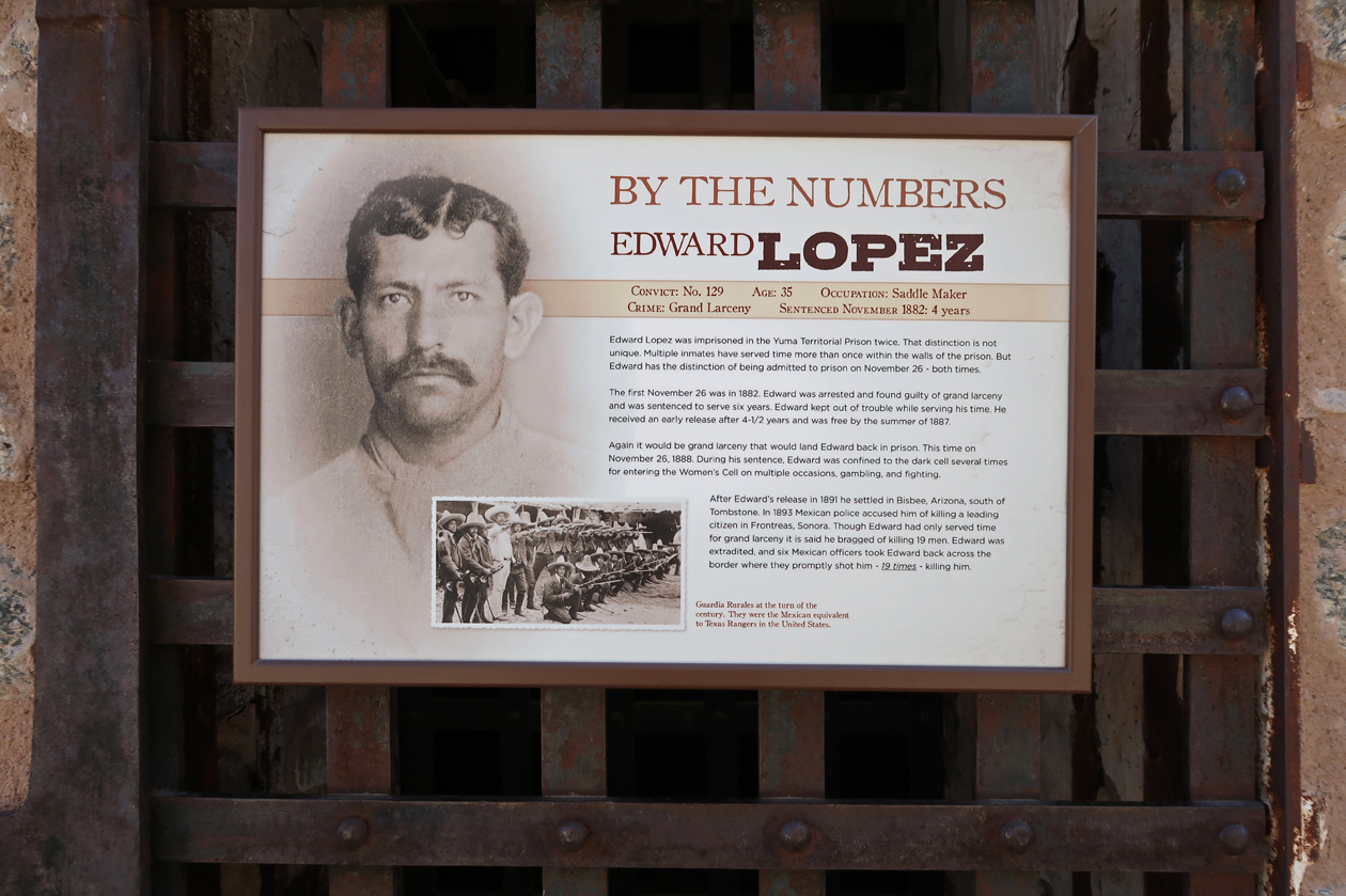

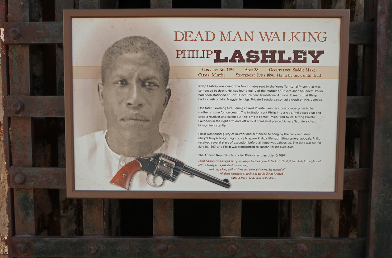
As of my visit to Yuma Crossing NHA, I have now visited all 62 National Heritage Areas.
3.5hrs (230mi) to Tucson (I-8 runs along Juan Bautista de Anza NHT), and the west unit of Saguaro NP. Quick stop to pickup a new NP brochure and do a short walk in the Saguaro cactus forest.

Saguaro cactus forest –

Overnight at a Holiday Inn Express.
2/15/25 Sa – 5hrs from Tucson to Castner Range NM (2023), just North of El Paso TX.
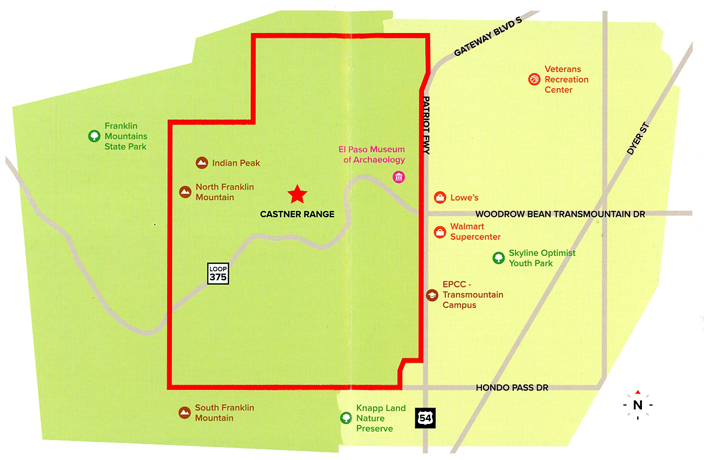
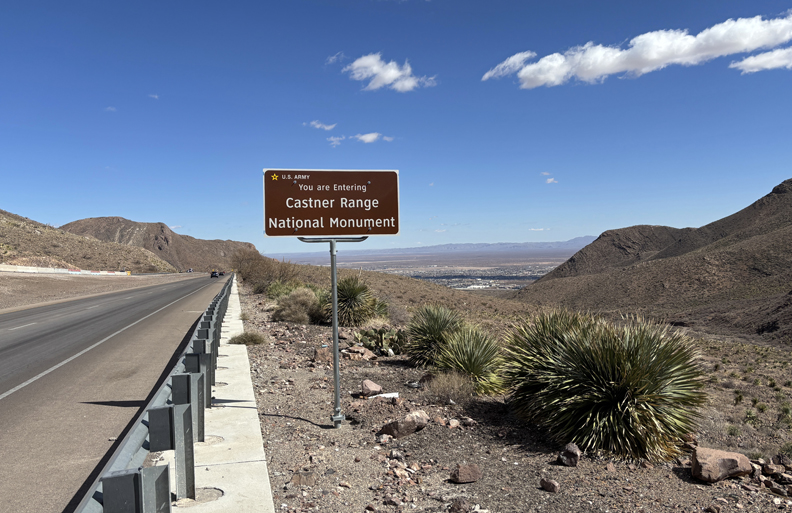
First stop was Smugglers pass on Woodrow Bean Trans Mountain Road in Franklin Mountains SP.

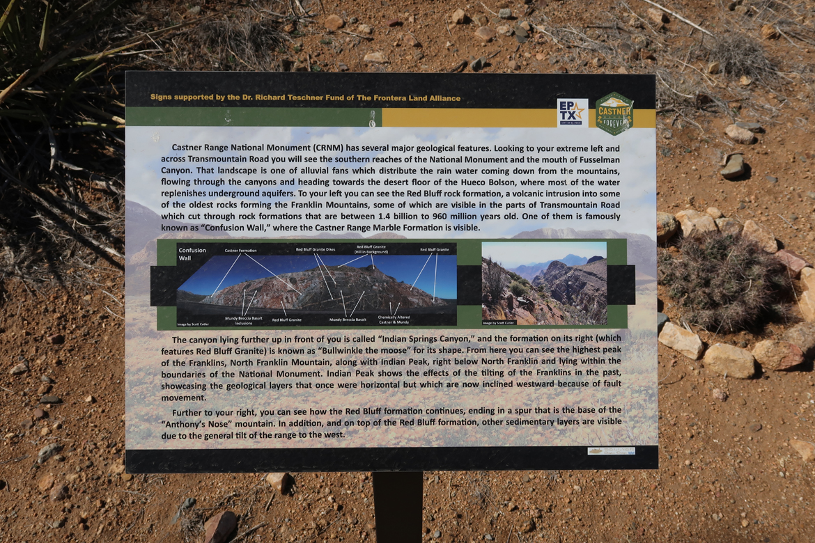
Castner Range NM is located just east of the pass. It is a part of Fort Bliss and is administered by the U.S. Army.
Cattle/Horse Thieves (Wrestlers) and Fusselman Canyon –


The El Paso Museum of Archaeology is located at Wilderness Park.

It has a Nature Trail that is within Castner Range National Monument and is the only part of the NM that is currently open to the public. Again, be alert for snakes.

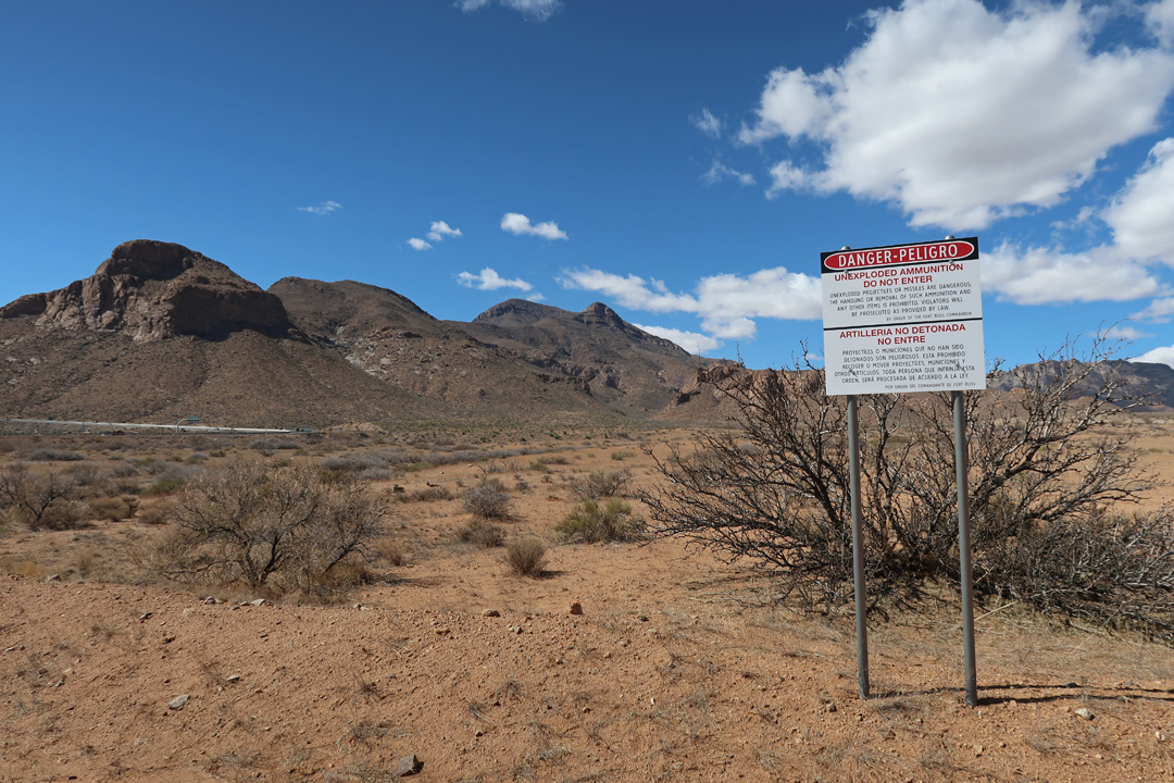
Fort Bliss was a weapons test site 1926-1966 and the remainder of the NM is closed as the Army acts to remove unexploded ordinance. Peligro – Danger
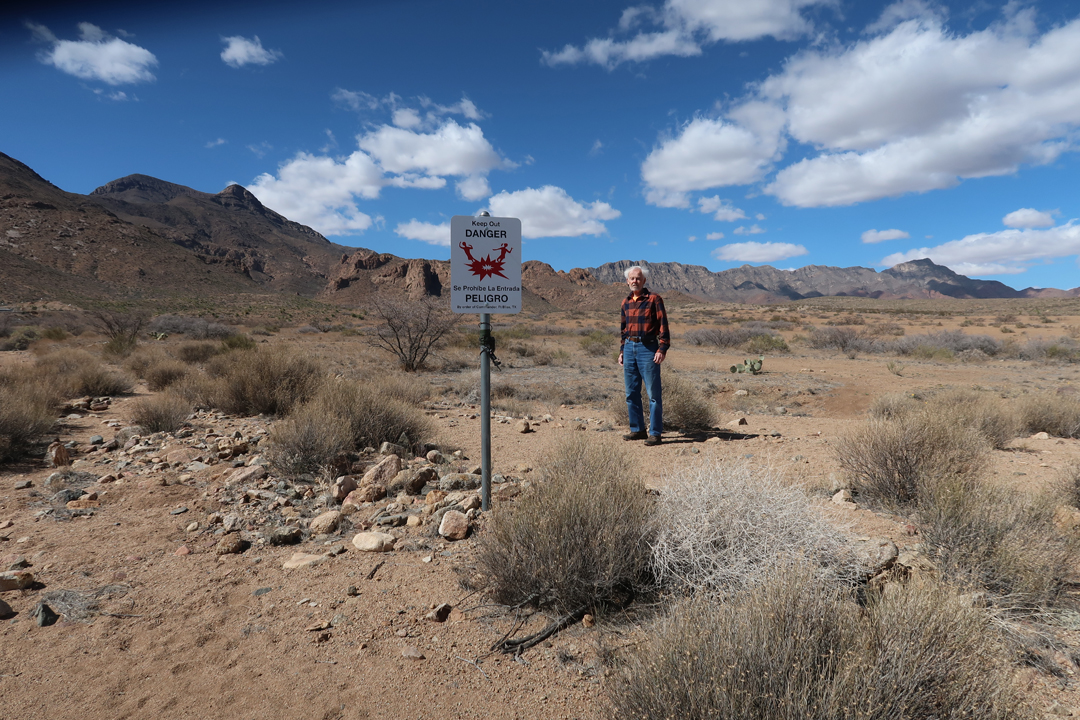
The El Paso Museum of Archaeology presents the human history of the area.


The Museum placed this photo on their Facebook page.

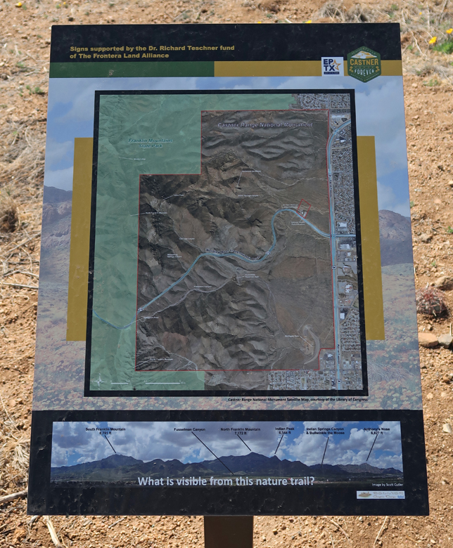
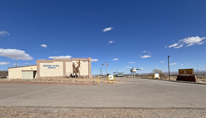
I then stopped by the National Border Patrol Museum, which is next door. My brother Joe worked as a Border Patrol agent in El Paso early in his career.

Celebrated the end of my trip with a Vietnamese dinner and continued reading of “Winter of the World” by Ken Follett. It is book two of the Century Trilogy. Use reward points for my stay at Towne Place Suites El Paso North.
2/16/25 Su – Up at 4:30am for my 6:30am flight from El Paso to Denver, then flight to Columbus OH where I had to clear snow and ice off our car before driving home. Helen had a nice hot meal ready for me at 5pm. It was a 14-hour travel day.

