
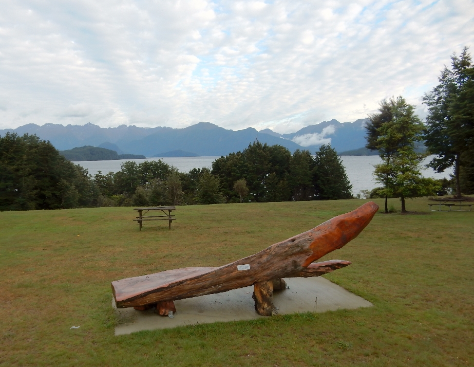
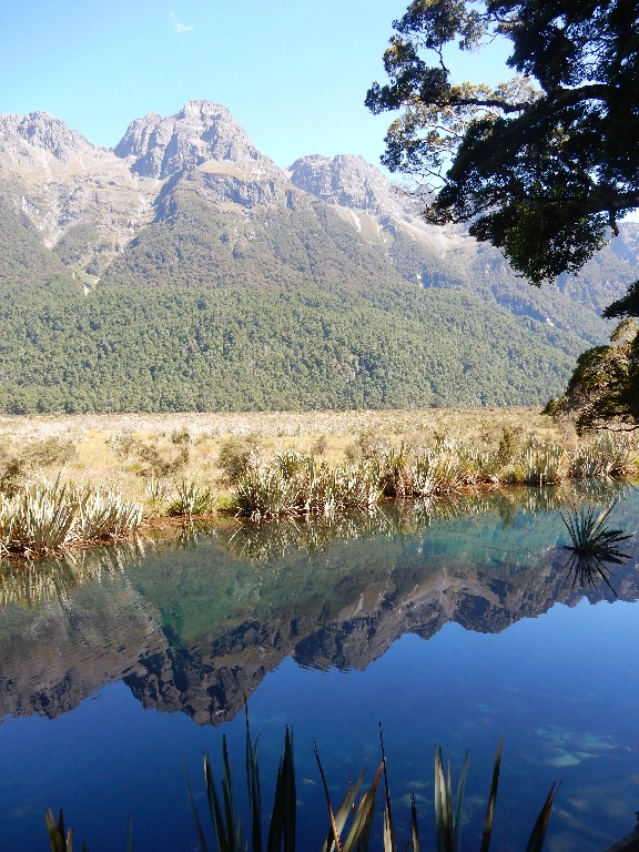
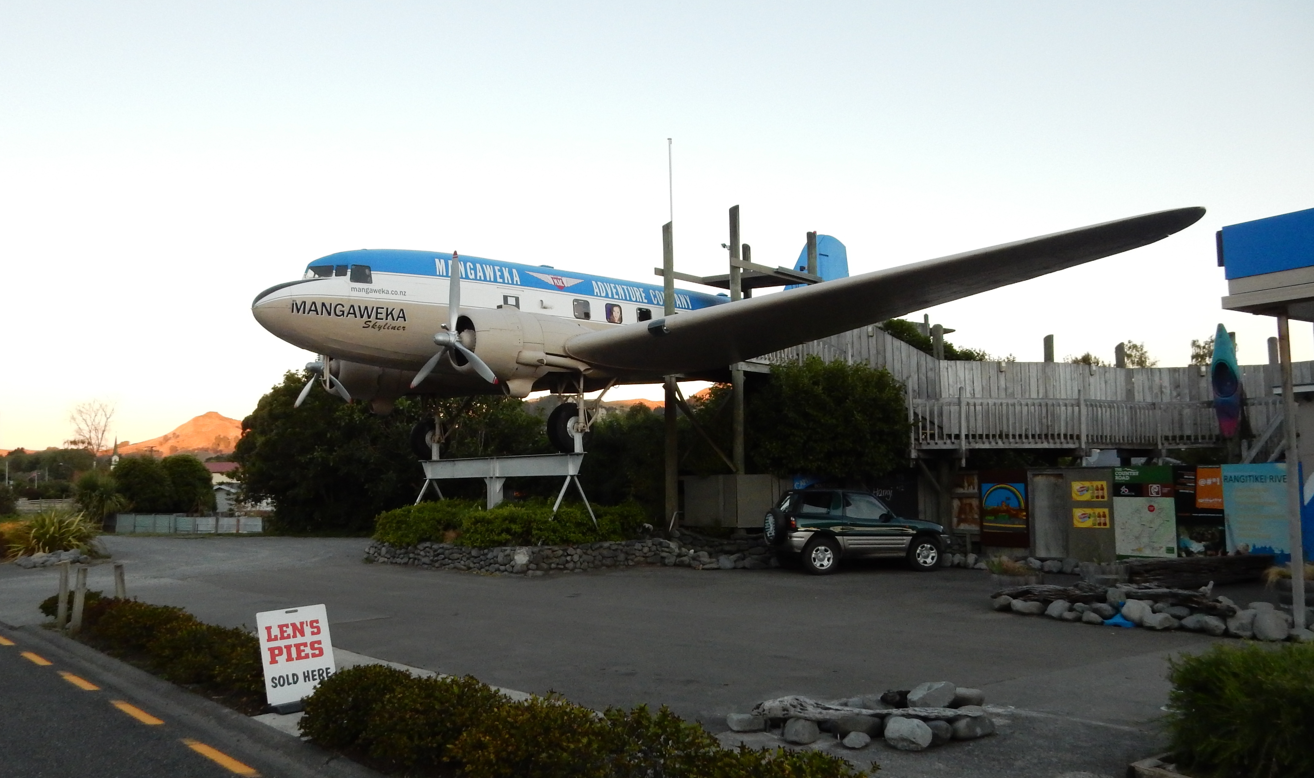
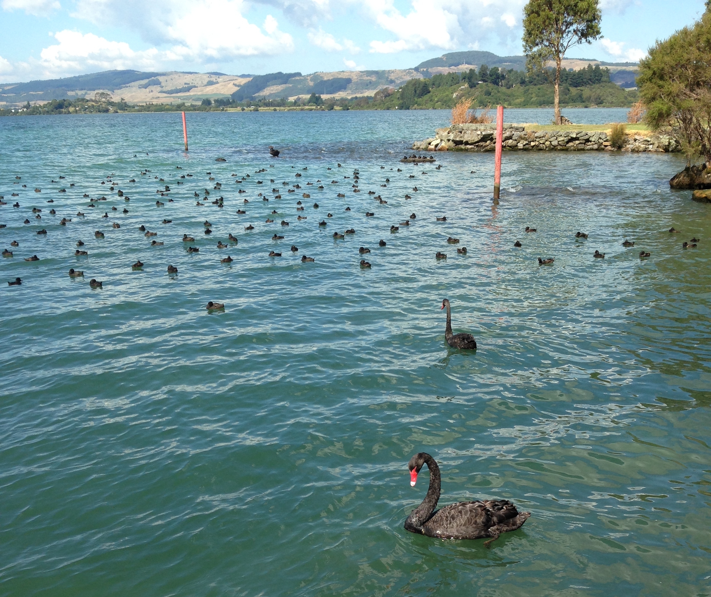
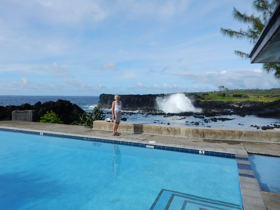
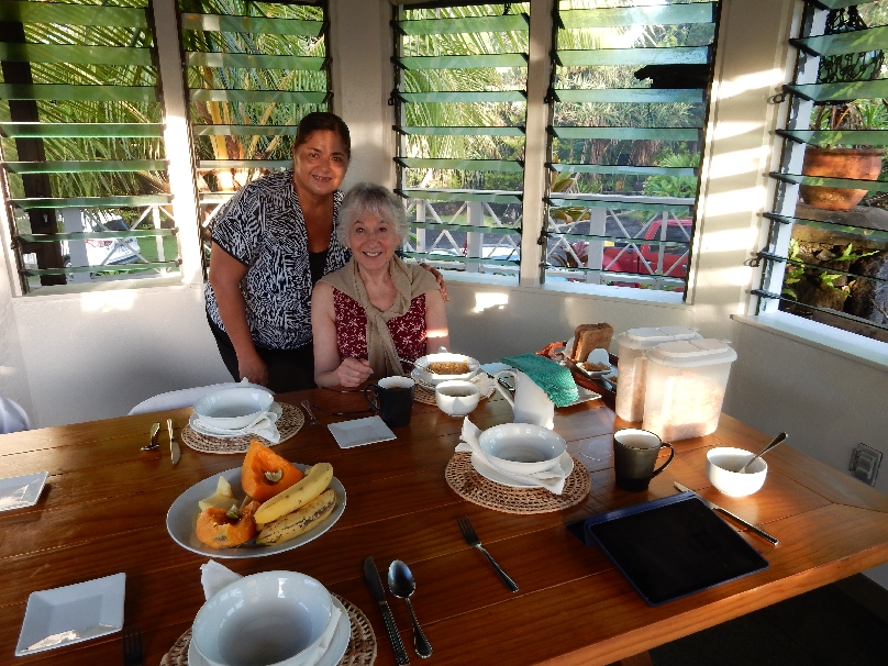
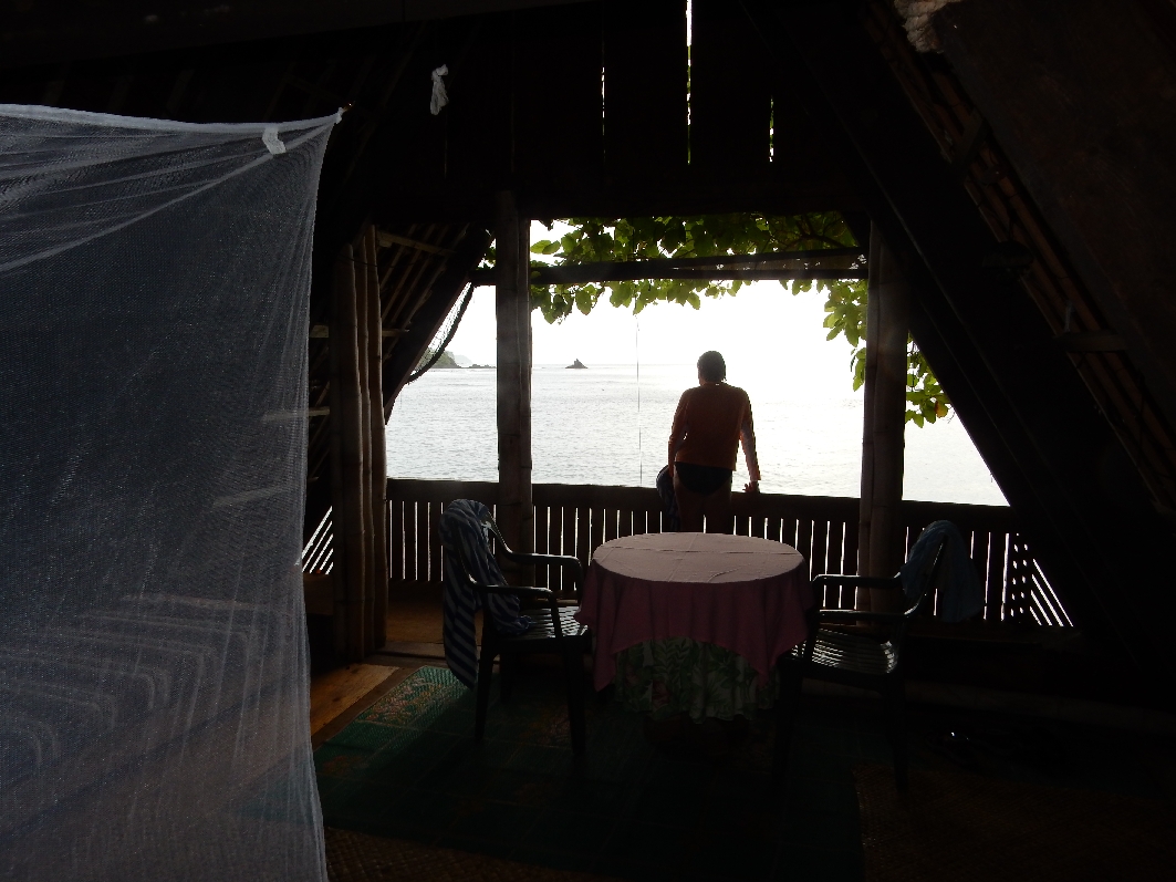
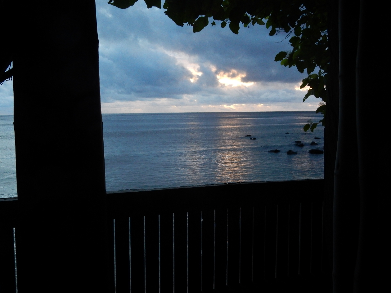
2/9 – Great morning view from our vacation house

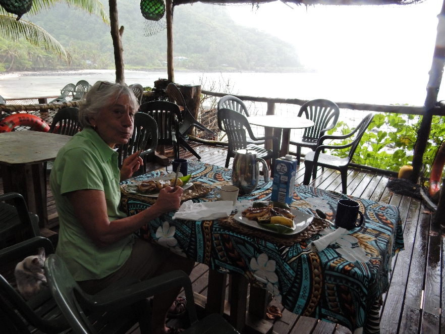
Had breakfast in Manapouri, this is the view from across the street, then went back to the house and prepared for our overnight cruise to Doubtful Sound.
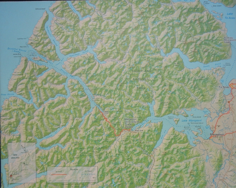
Map showing Manapouri (start of cruise on Lake Manapouri, West Arm (end of lake cruise), bus route over Wilmot Pass, and Deep Cove (start of cruise on Doubtful Sound)
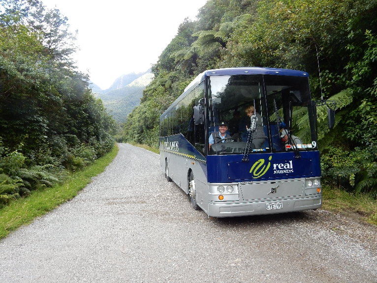
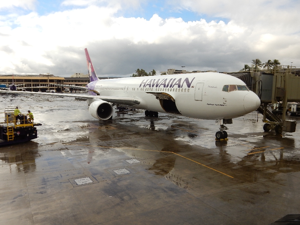
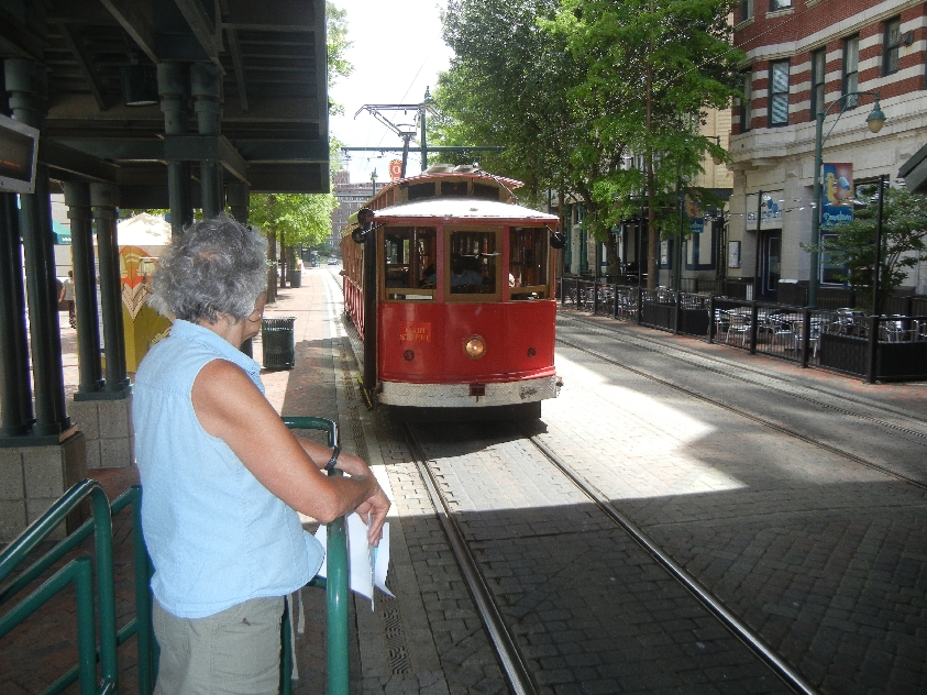
Ready to board

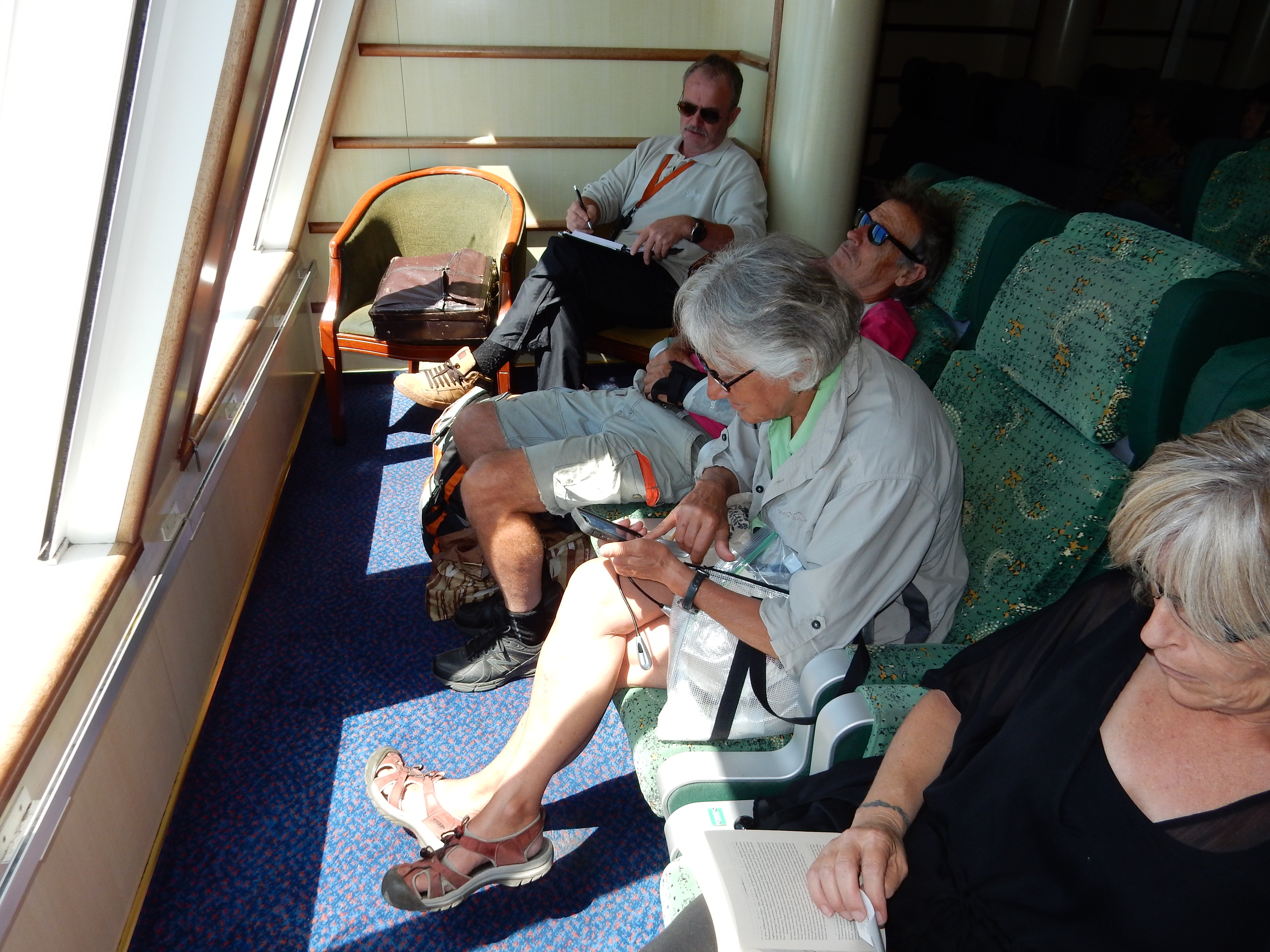
Ate our left over spaghetti from the night before for lunch and boarded the boat to take us across Lake Manapouri at noon. We were told our cruise boat, the Fiordland Navigator, was under repair in Christmas Cove of Doubtful Sound. As a result, our cruise boat to the West Arm of Lake Manapouri extended its tour time on the Lake by over an hour.

Start of lake cruise

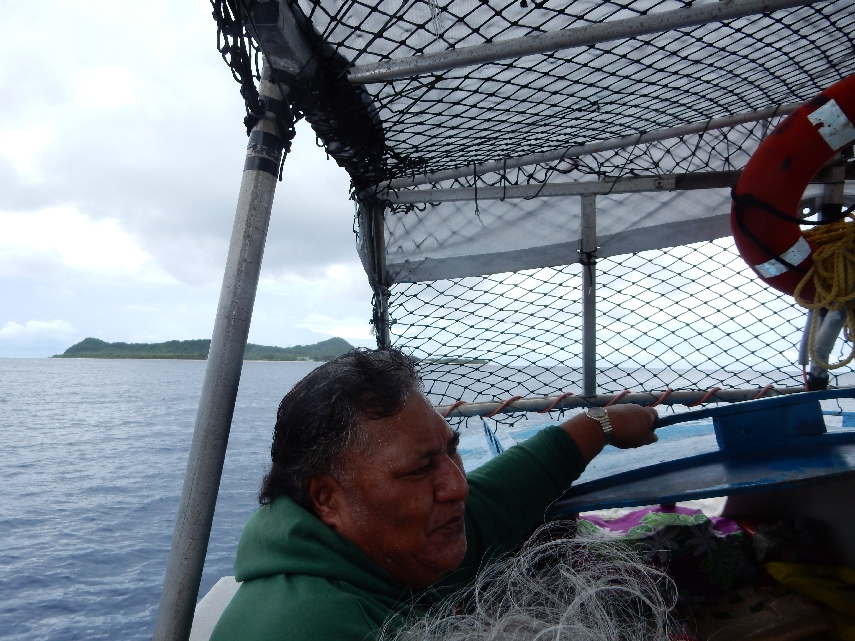
Captain

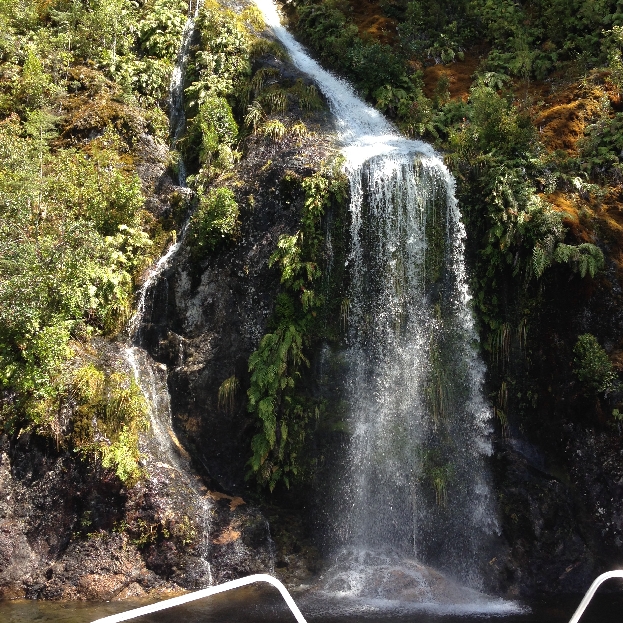
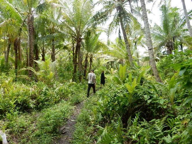
Anxious to get to our Doubtful Sound cruise boat, we actually became bored as the captain drove into various coves and pointed out numerous waterfalls

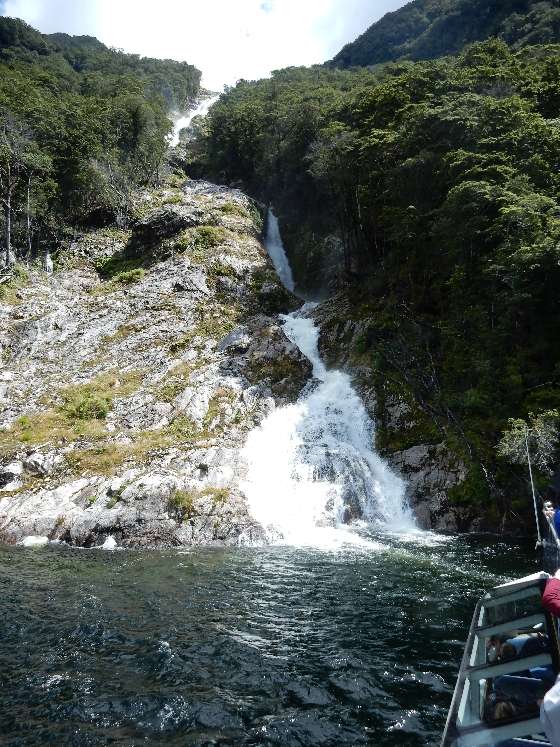

Interesting “Spider” rock formation

Passing another cruise boat on Lake Manapouri
Approaching “Giraffe” – do you see it?

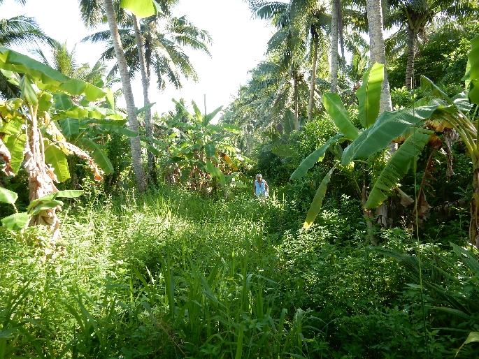
We eventually landed at West Arm and then were taken by coach over Wilmot Pass to Deep Cove. The bus driver was excellent – he was clear, articulate, descriptive, informative and funny as he kept us entertained on the 50 minute ride.
We also had three short stops on route. This is the view from Wilmot Pass to West Arm

Waterfall on route

Huge ferns
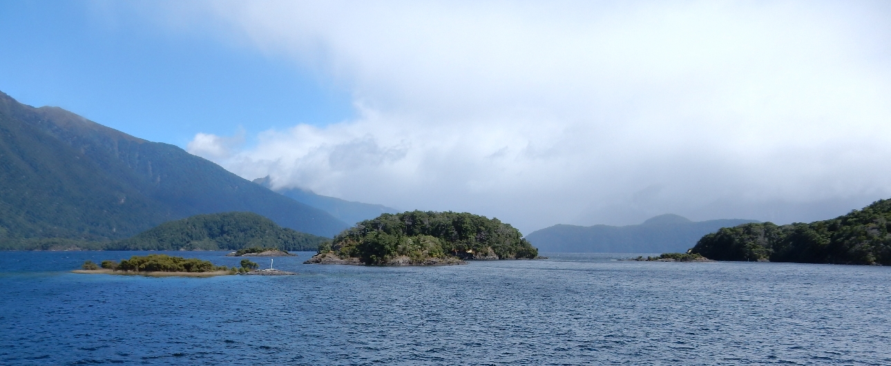
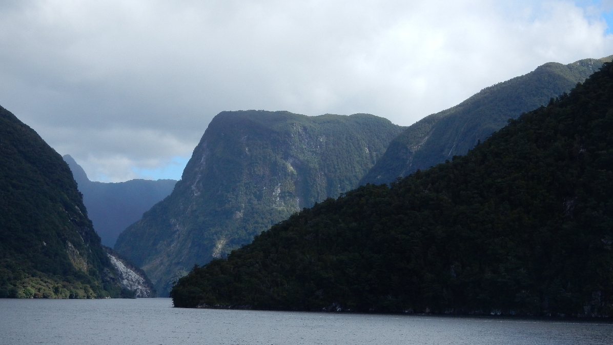
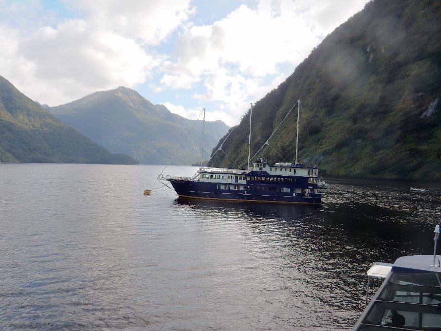
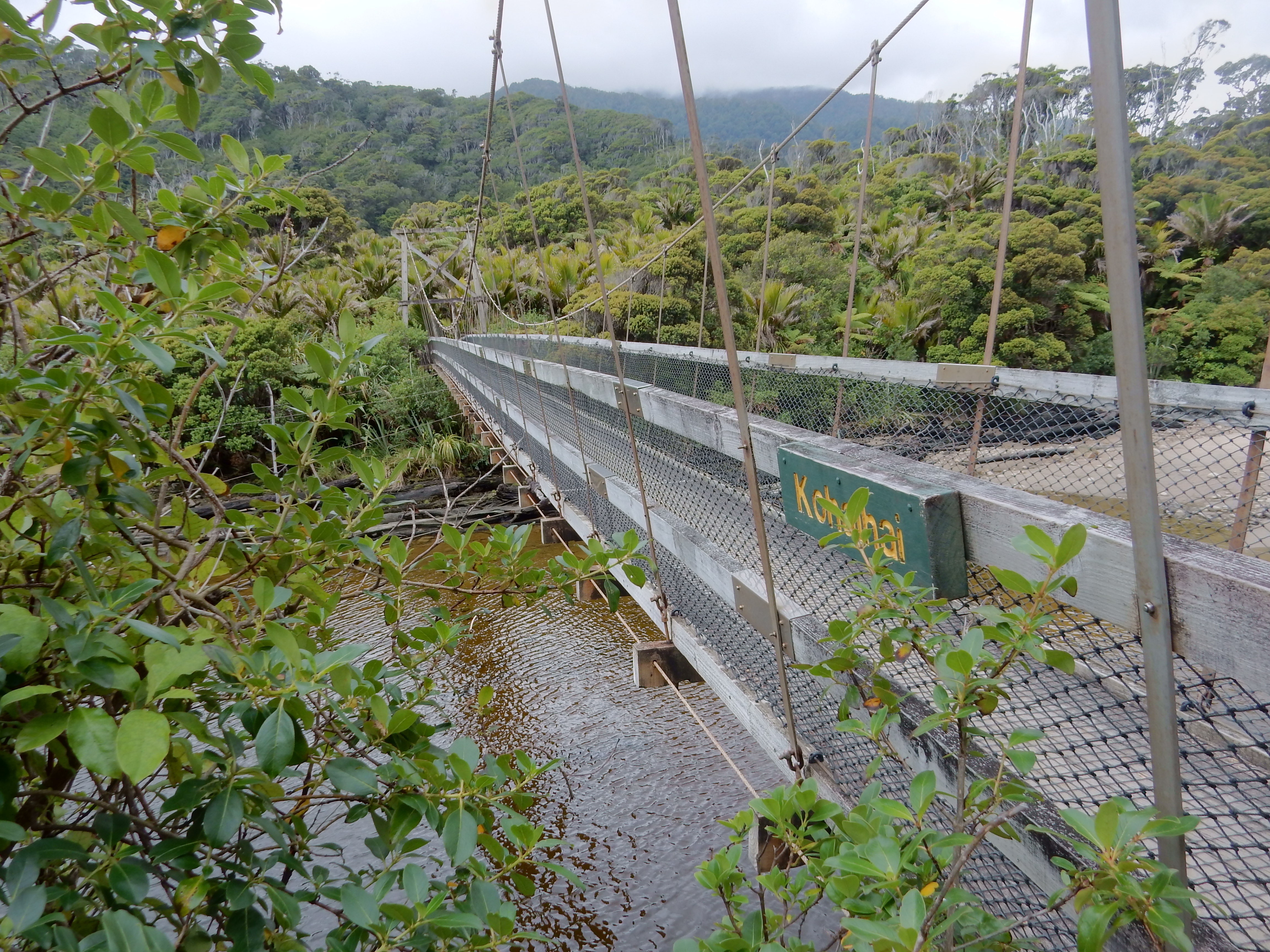
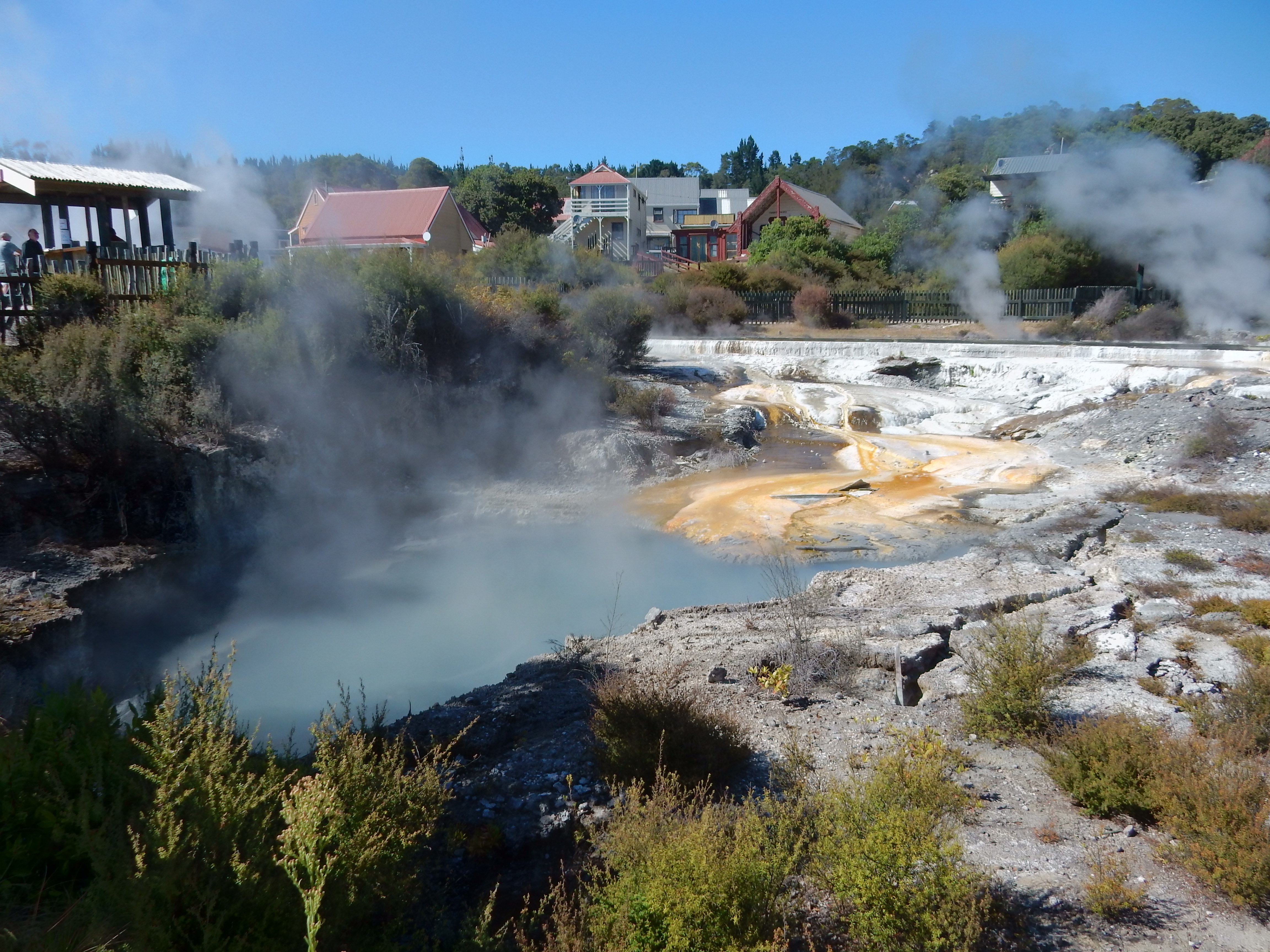
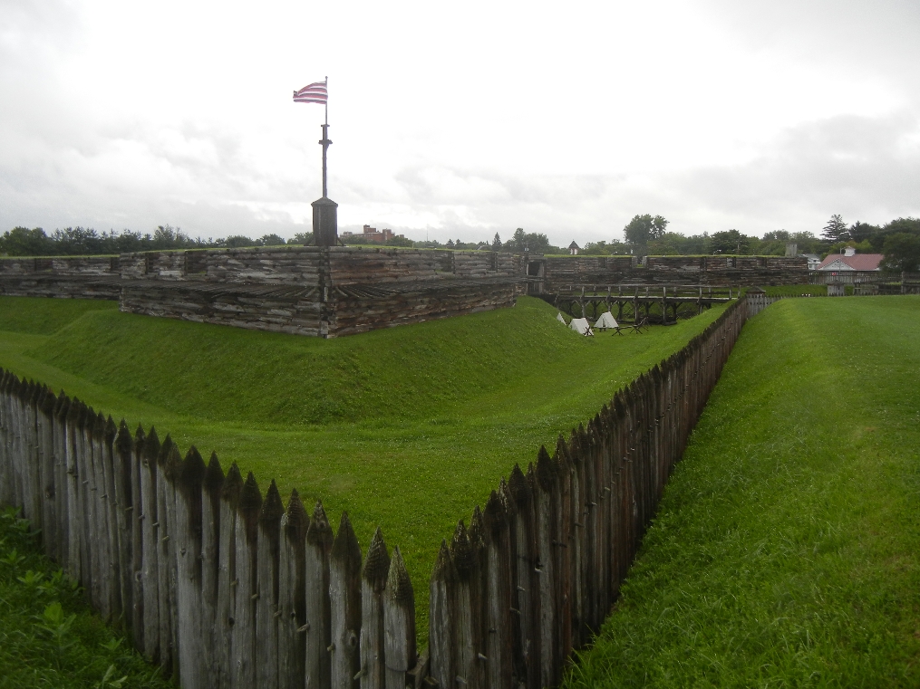
 Arriving at Deep Cove, we learned that the Fiordland Navigator was not yet repaired and that another small cruise boat, like on Lake Manapouri, would be doing the afternoon cruise and then dropping us off at the Navigator. The scenery was fantastic as we moved down the Sound to the Tasman Sea.

Technically, a Sound is formed by a river and a Fiord is formed by a glacier. However, though Doubtful “Sound” was formed by a glacier it is still called a Sound.
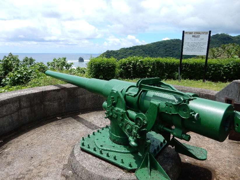
It is one of New Zealand’s largest sounds (3 times the length and 10 times the area of Milford). NZ Flag, they are now considering changing it, perhaps eliminating the British Union Jack part.
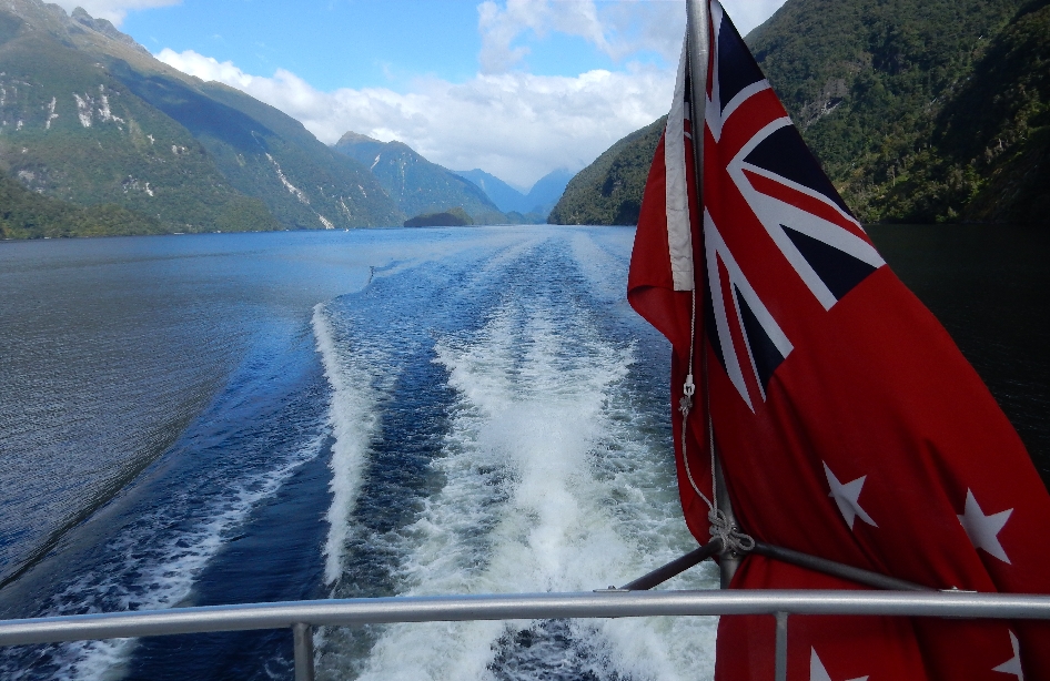
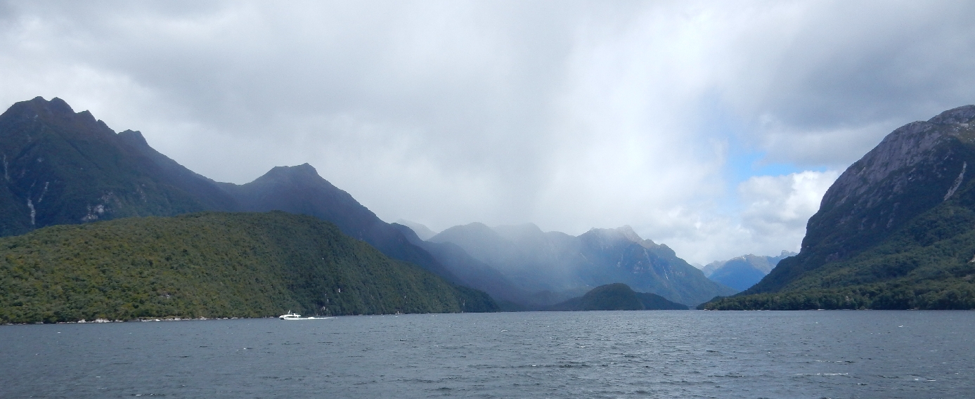
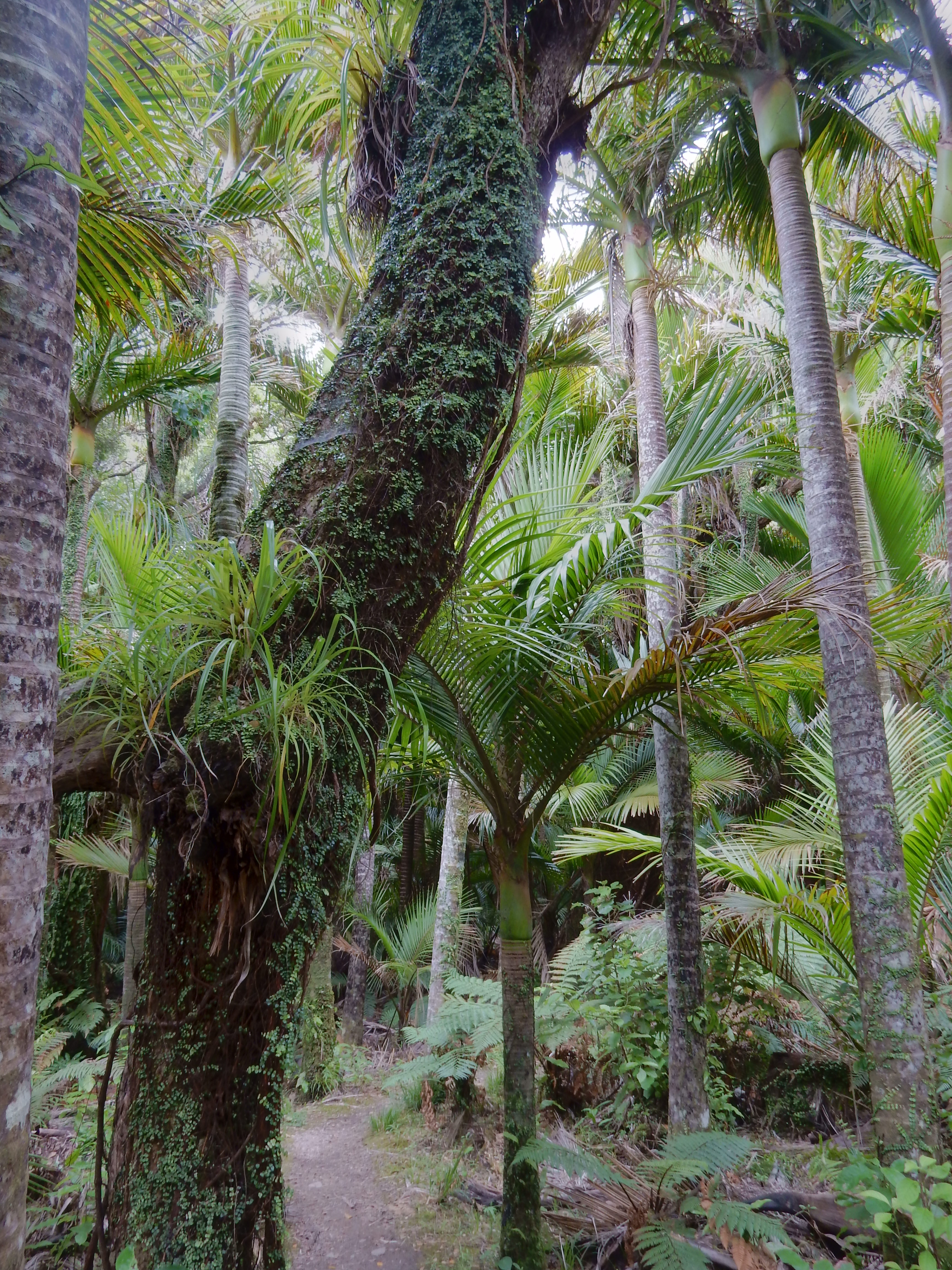
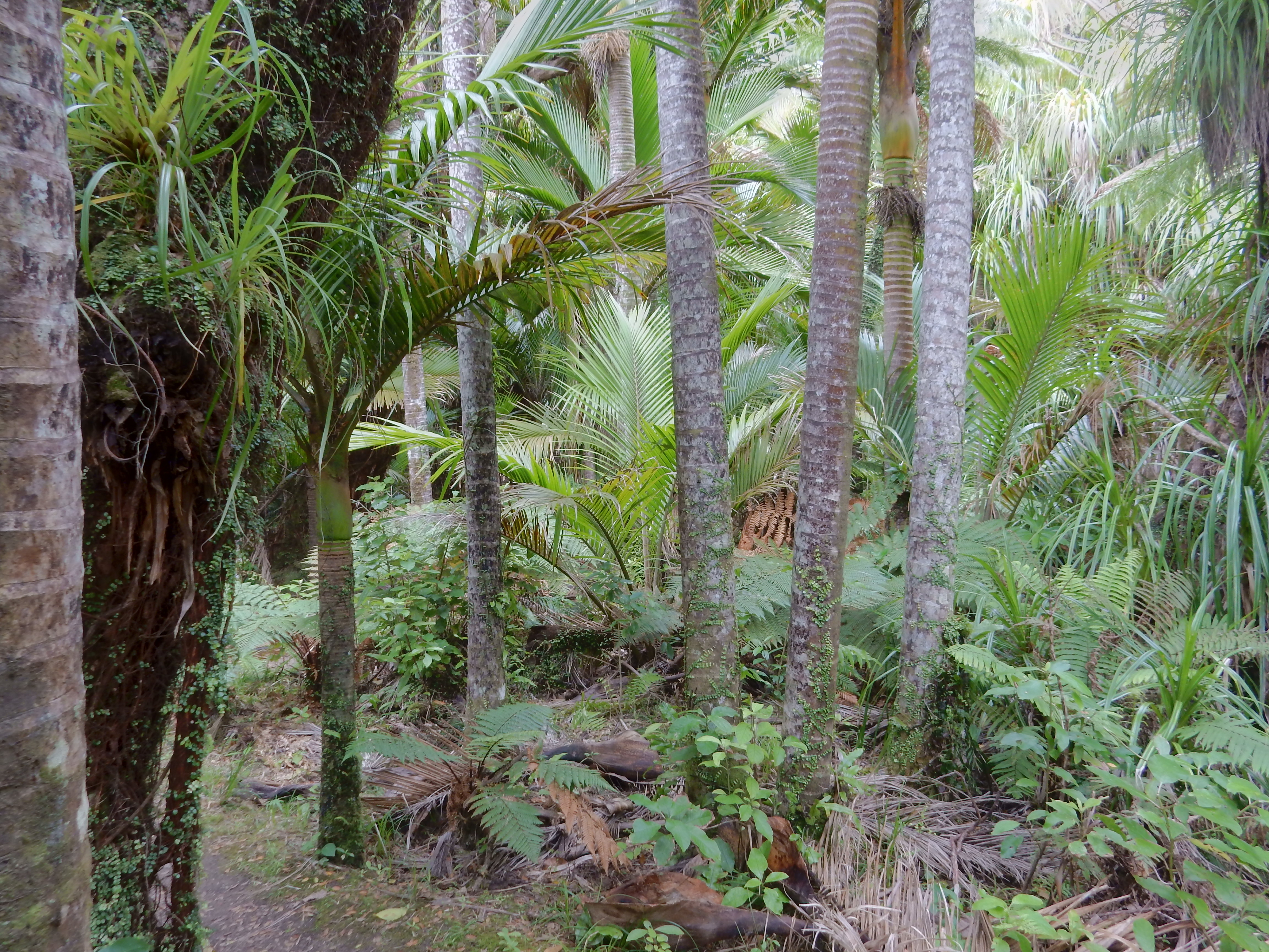
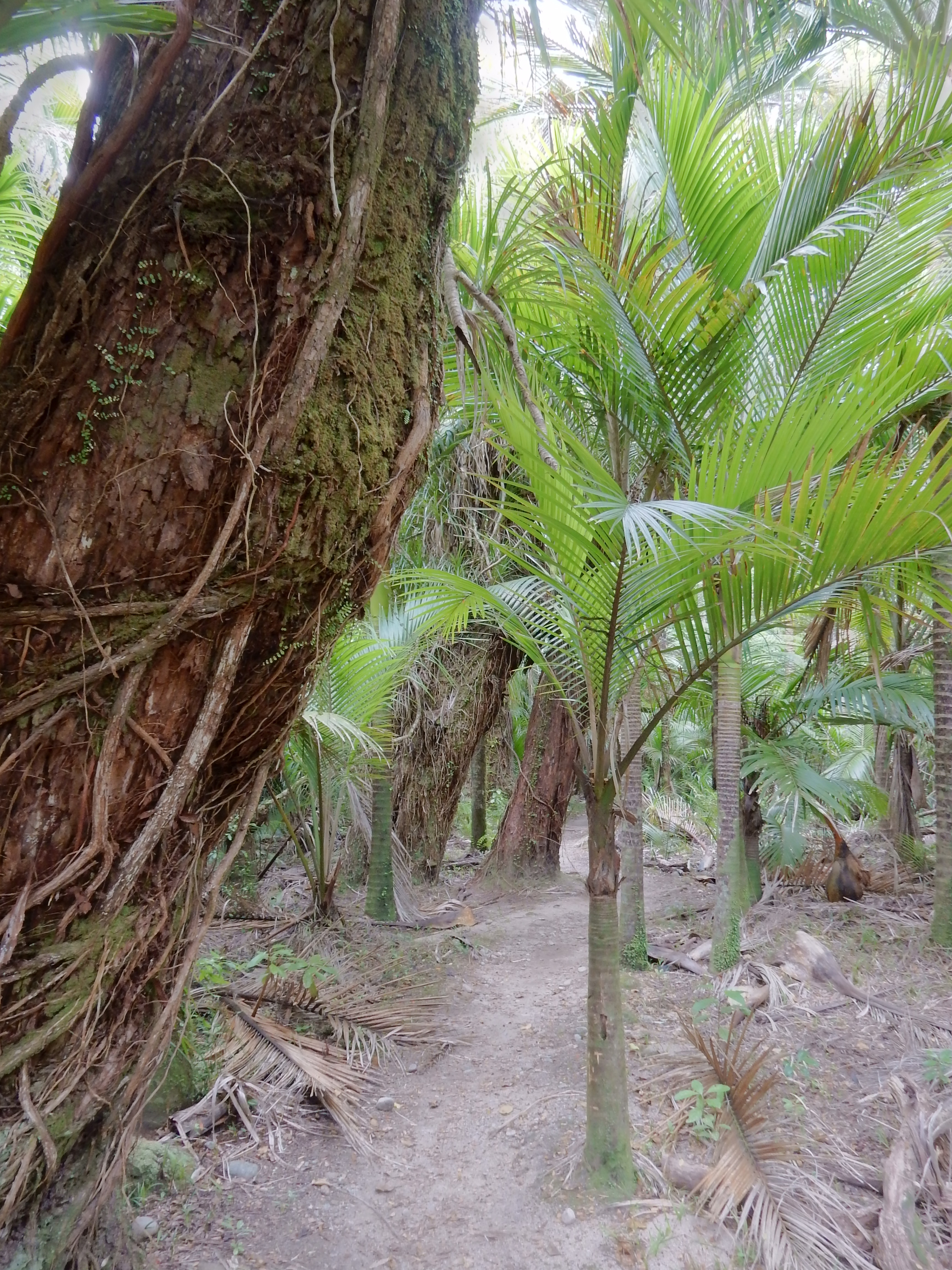
It is a wilderness area of fractured and gouged mountains, dense forest and thundering waterfalls.


In 1770, Captain Cook labeled it Doubtful Sound because he thought that if he sailed into the Sound he would have trouble getting out. We were told that the captain was right because, on average, there is a westerly breeze only two days a month!
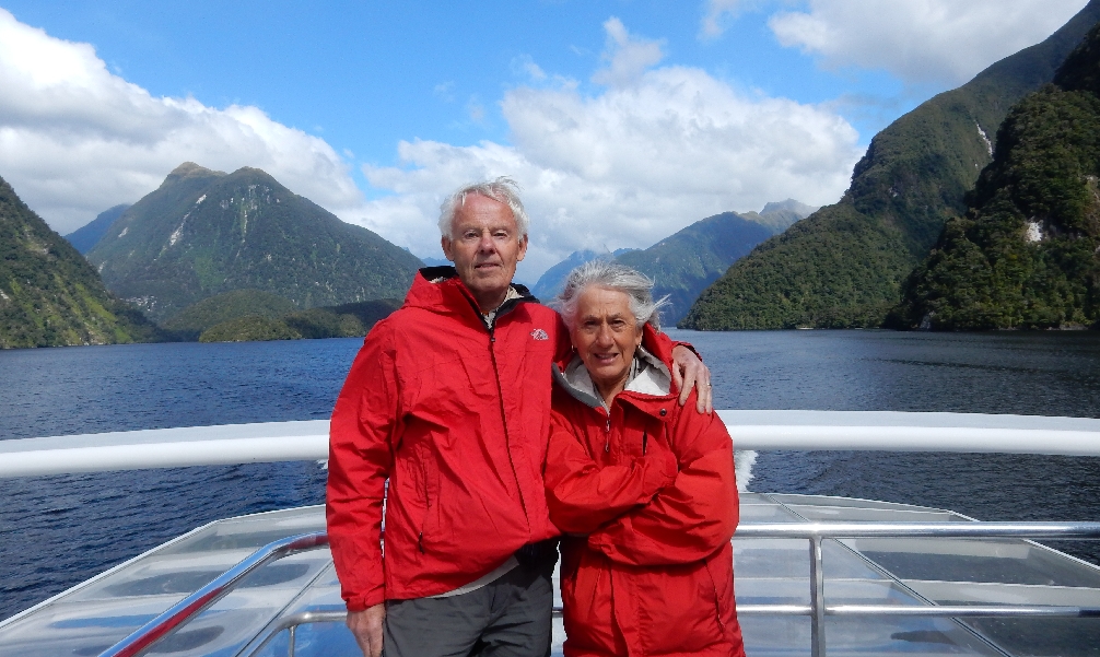
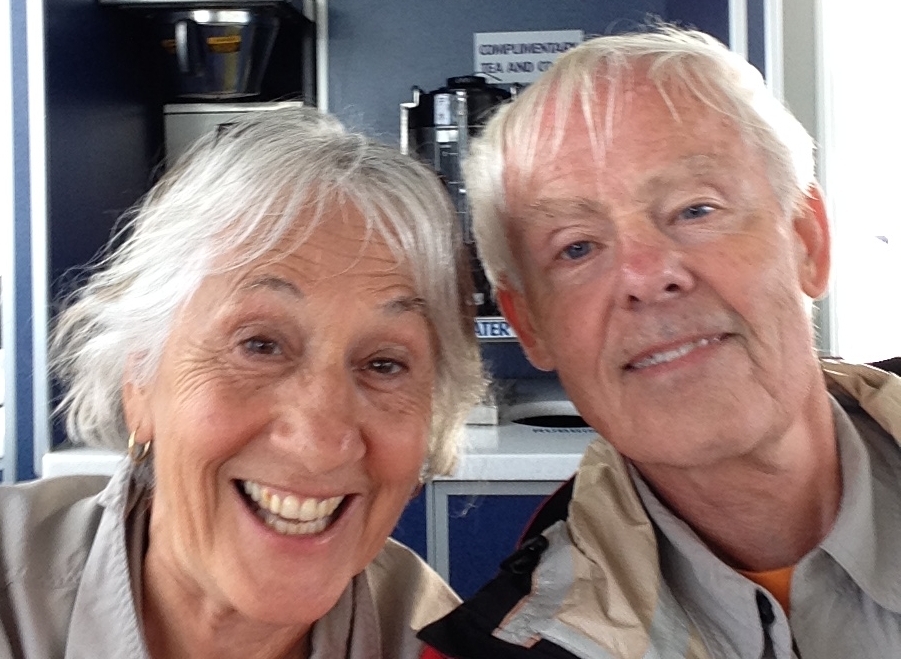
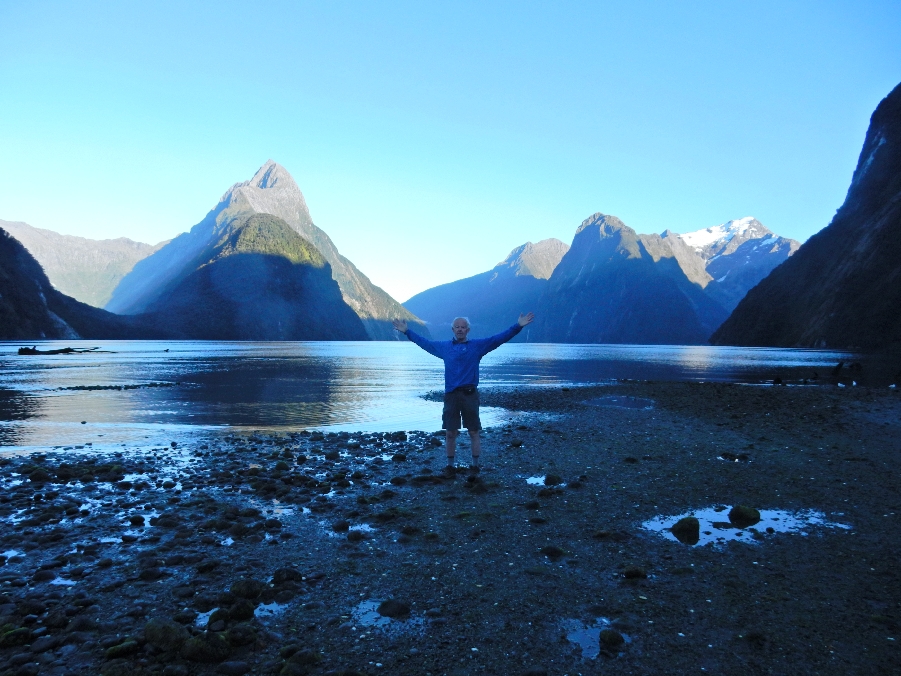
Another Selfie
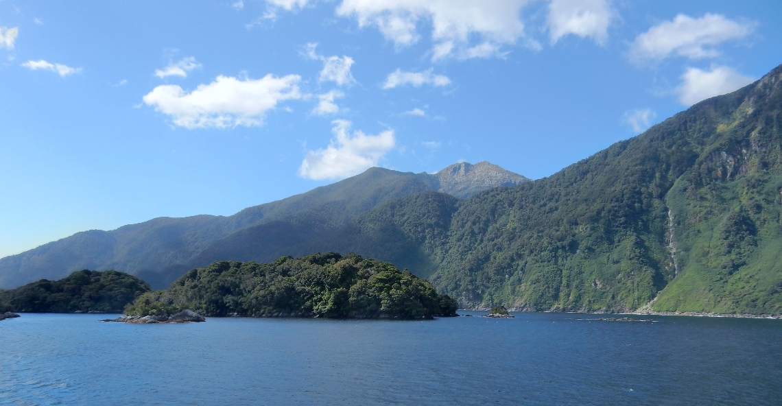
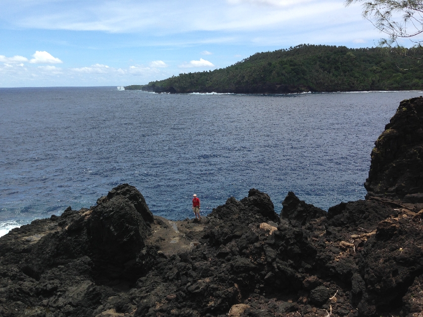
Approaching the Tasman Sea (ocean)

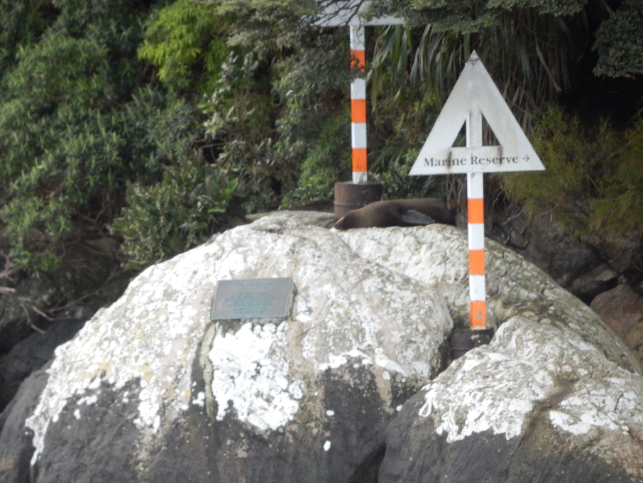
Plaque recognizes an early Spanish landing, sign points to Marine Reserve and a seal lounges on the rocks
As we moved into the swells and wind of the ocean it became quite rough and the boat turned to head back up the Sound.

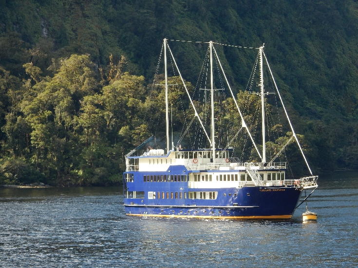
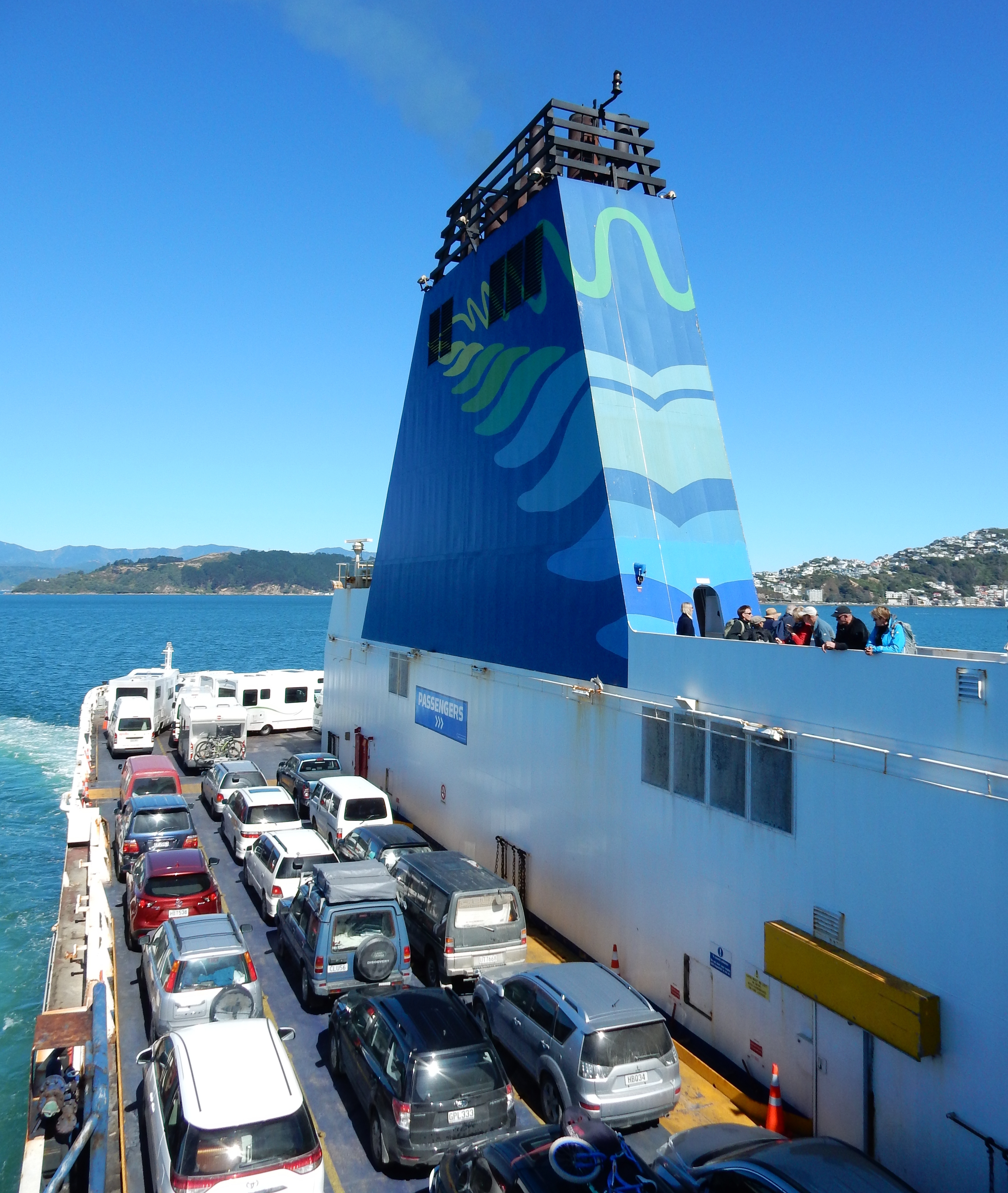
We proceeded to Christmas Bay where we found the Fiordland Navigator repaired and ready to be boarded.

“Designed along the lines of a traditional scow, the Fiordland Navigator blends old world charm with modern comforts that include spacious viewing decks, a dining saloon/fully licensed bar and an observation lounge.”
Boarded boat to boat at 5pm – it sleeps 70
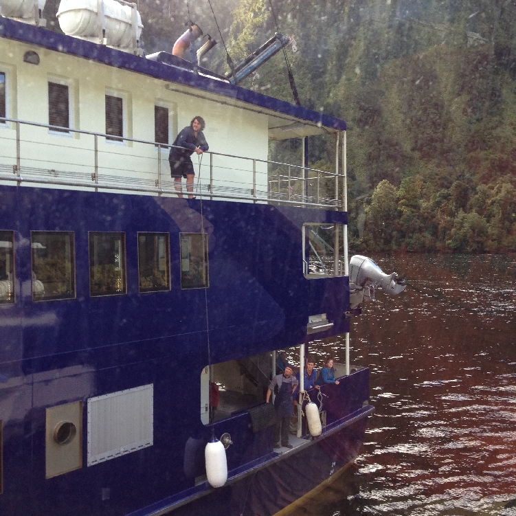
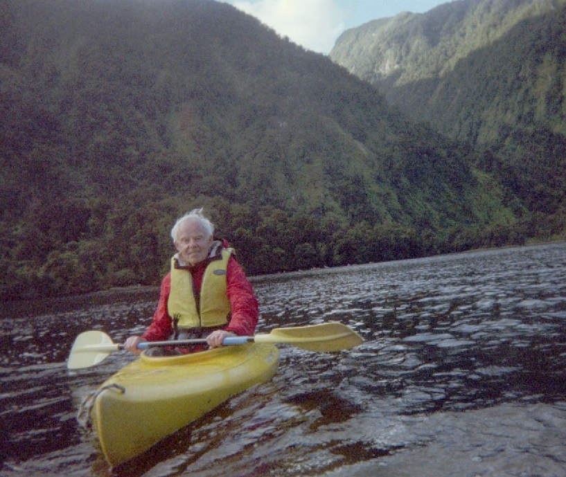
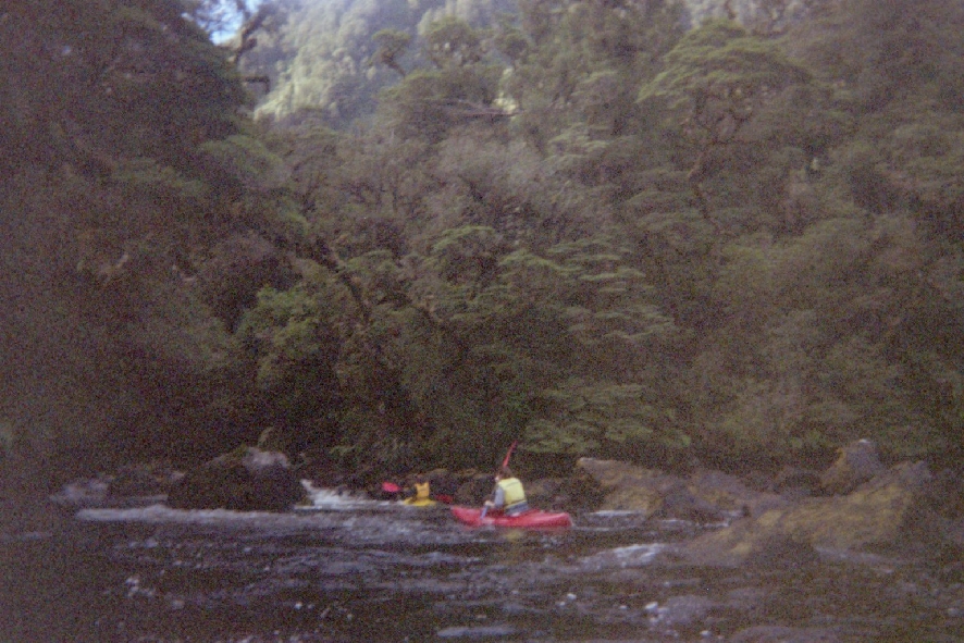
We were immediately given a safety briefing, assigned cabins and told to prepare for water activities. I chose to kayak and Helen did the outboard boat tour. The next three pictures were from the water camera and again are not very good.
Returning to the boat

The last rays of sunlight for the day filter through an arm of Doubtful Sound

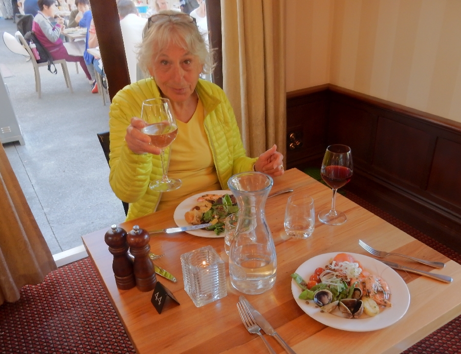
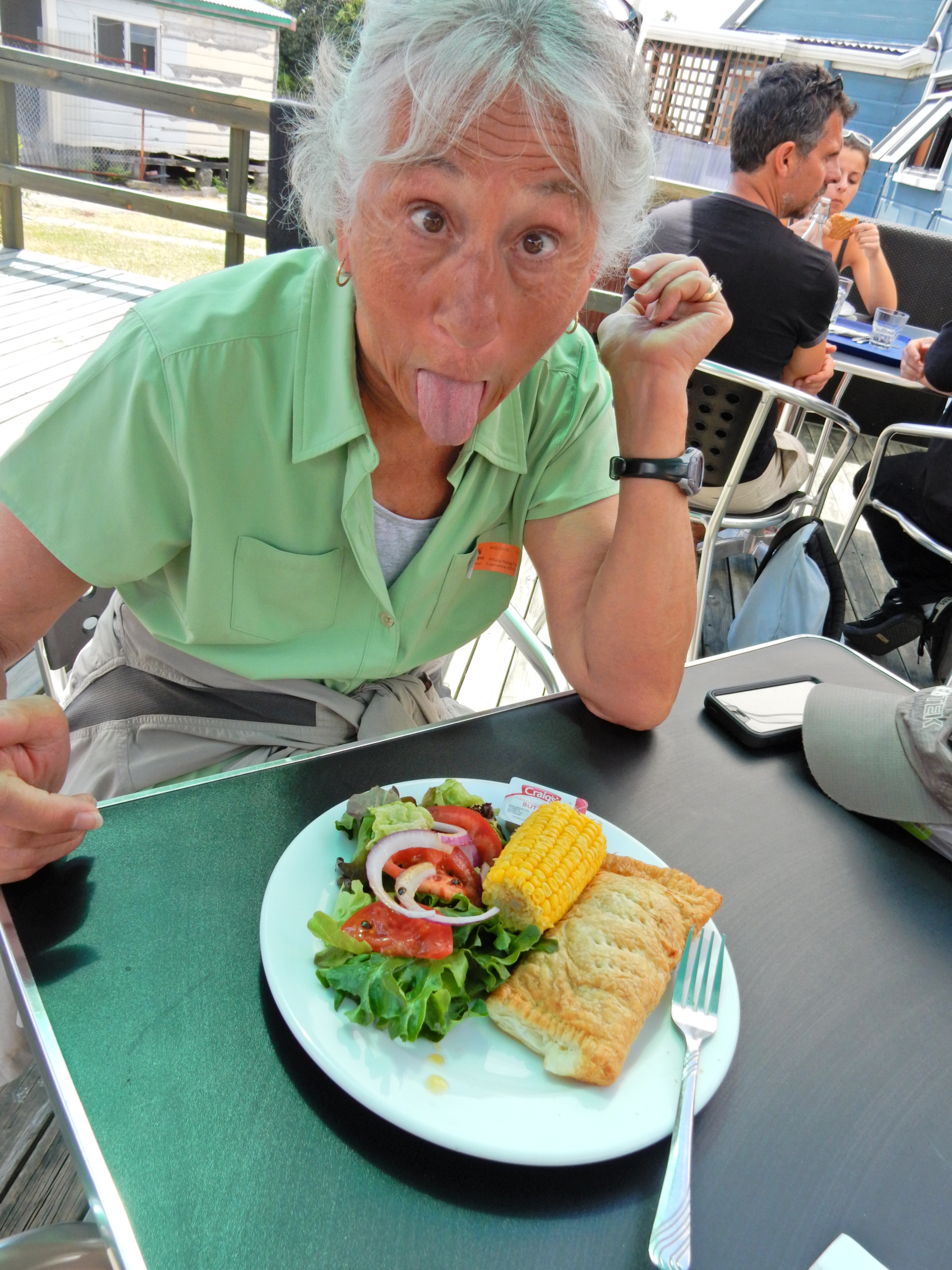
Three course gourmet buffet dinner prepared by onboard chef
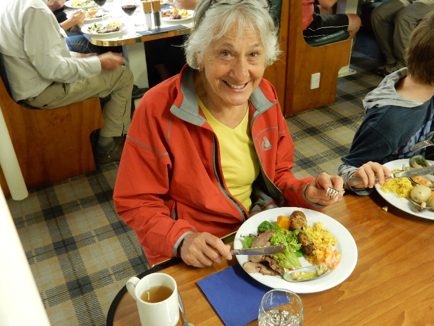
My first plate full! ! The evening ended with a nice slide show describing Fiordland National Park.

2/10 – The engines started at 6:15am and we were up for breakfast at 7:15.

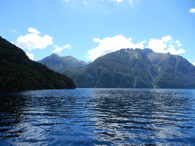
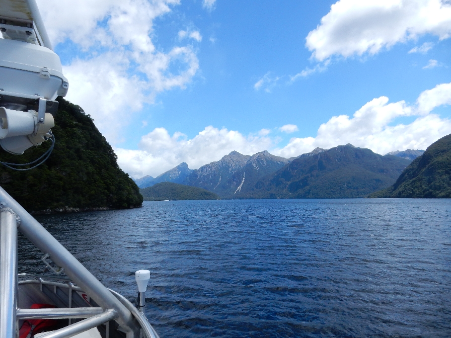
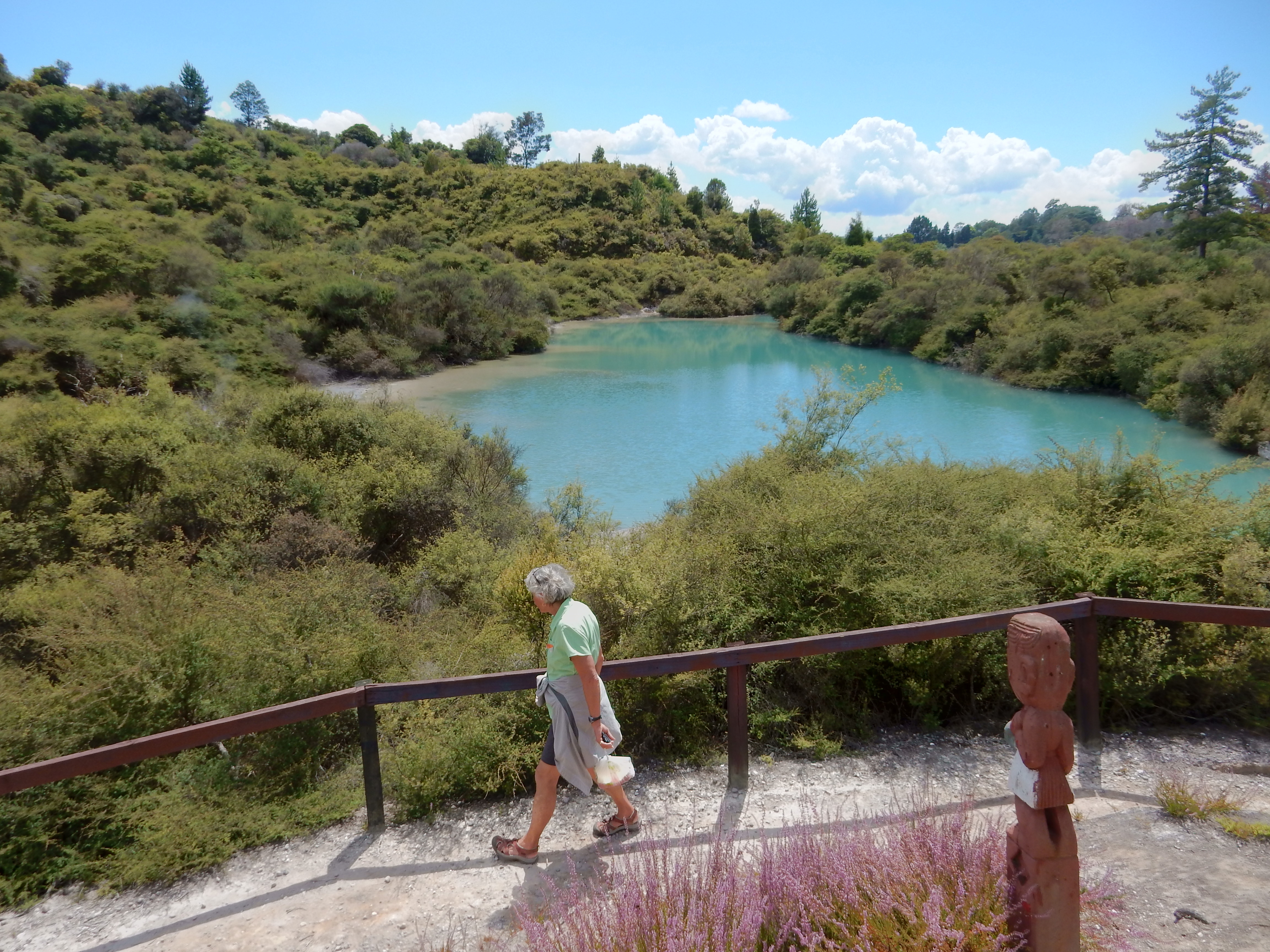
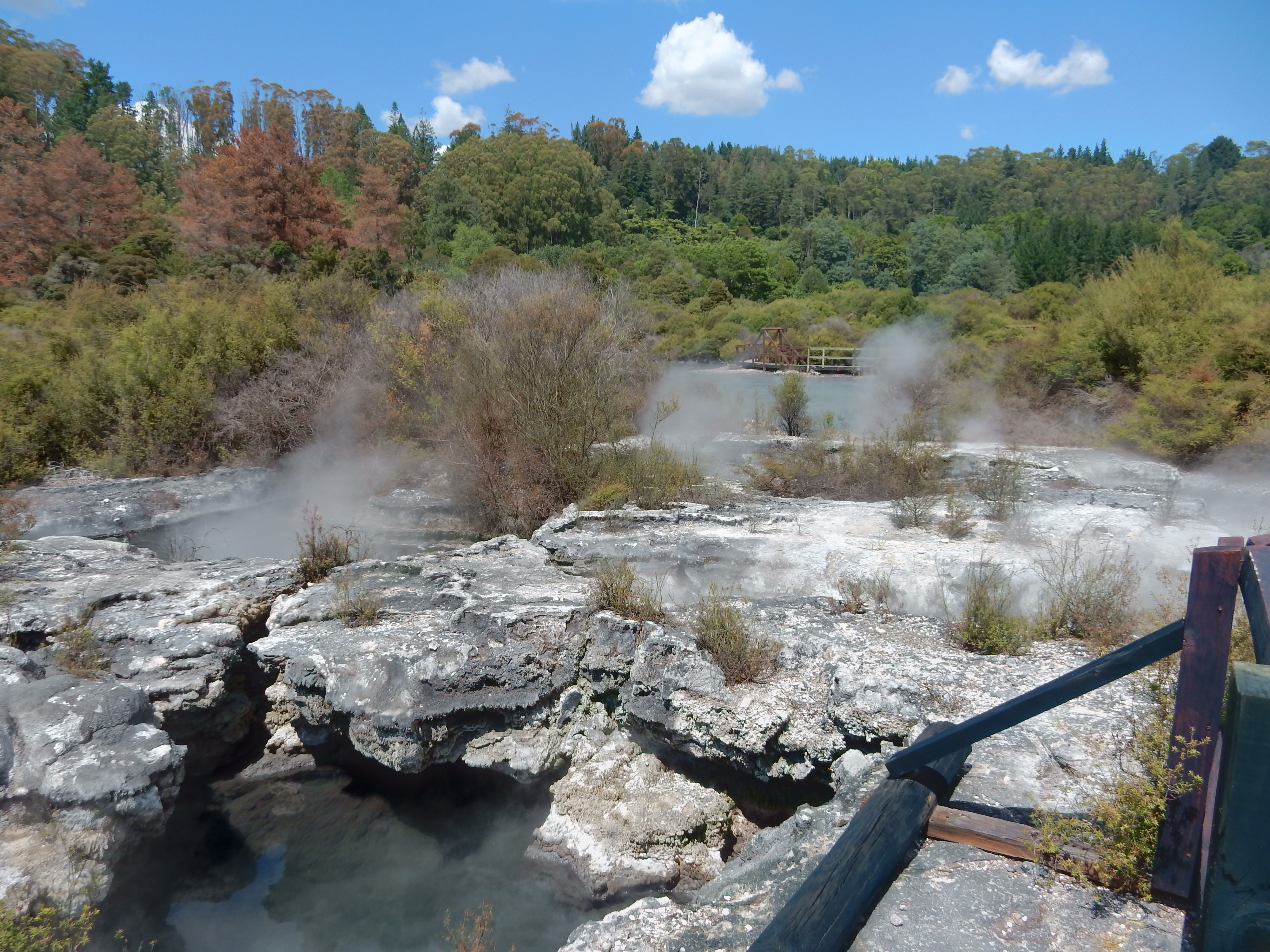
It was cold as we explored other areas of Doubtful Sound
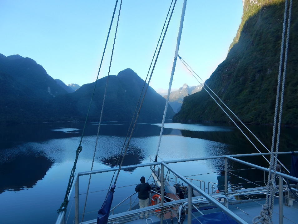
Mountains, water, waterfalls and clear, crisp, clean air! Oh that we could breathe it every day –

Clouds and mist were spectacular.

Ben, Adele, Cameron (10) and Oliver (8) from London shared our table for the gourmet dinner the previous evening. Afterward, Helen taught Cameron and Oliver how to play Farkle, which was a big hit. Here they are in the morning with Helen introducing them to a type of solitaire. They had quit their jobs, rented their home and were on a year-long around the world adventure!

Cameron and Oliver

We also met Pat and Karen from CO onboard. Here we are showing off our Eddie Bauer fleece jackets!

Reversing our course and heading back. Landed at Deep Cove, traced our route back over Wilmot Pass to the West Arm of Lake Manapouri on the bus and then repeated the 50 minute boat ride back to Manapouri arriving at noon.

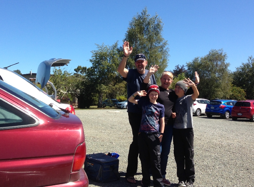
Goodbye to our new friends!
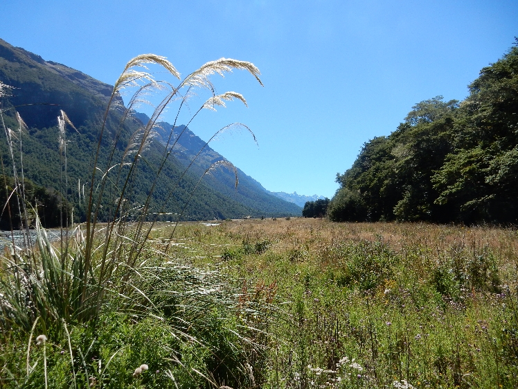
Had lunch in Te Anau and headed north on the Milford Road Highway. Another beautiful day! The next two photos were taken along the Eglinton River Valley

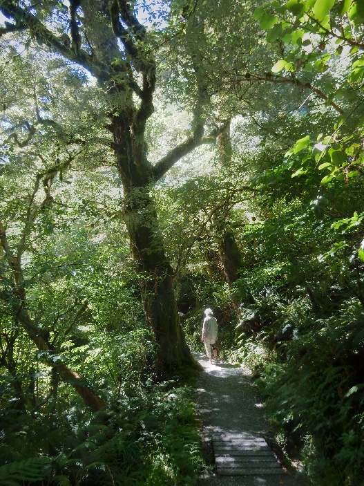
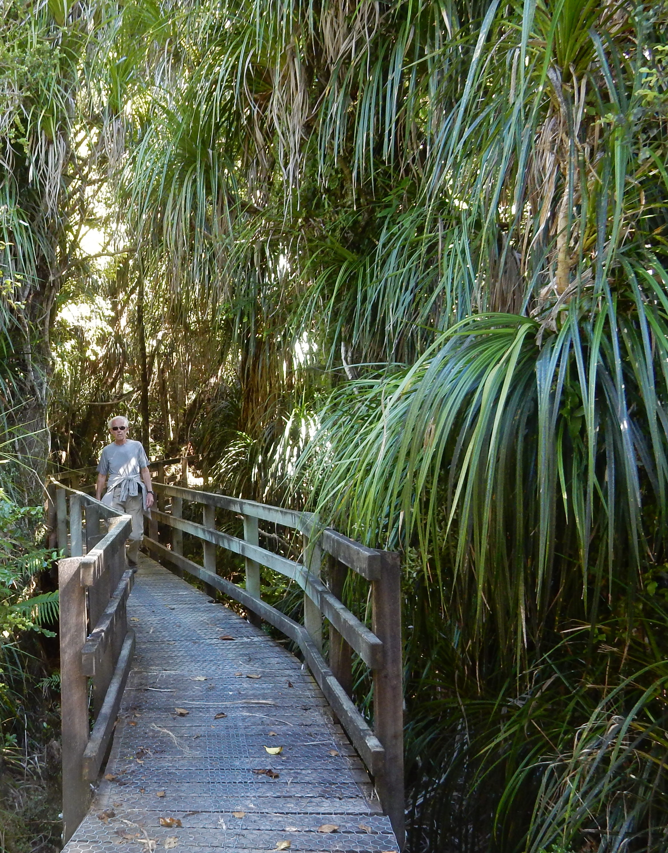
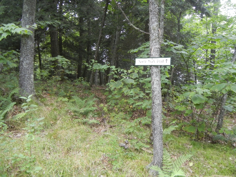
I had planned to do three short hikes on our trip from Manapouri to Milford. However, because of the excellent weather, we decided to hike to Key Summit, the highpoint of the Routeburn Track.

The trail begins at the divide parking lot and is estimated at 3 hours return

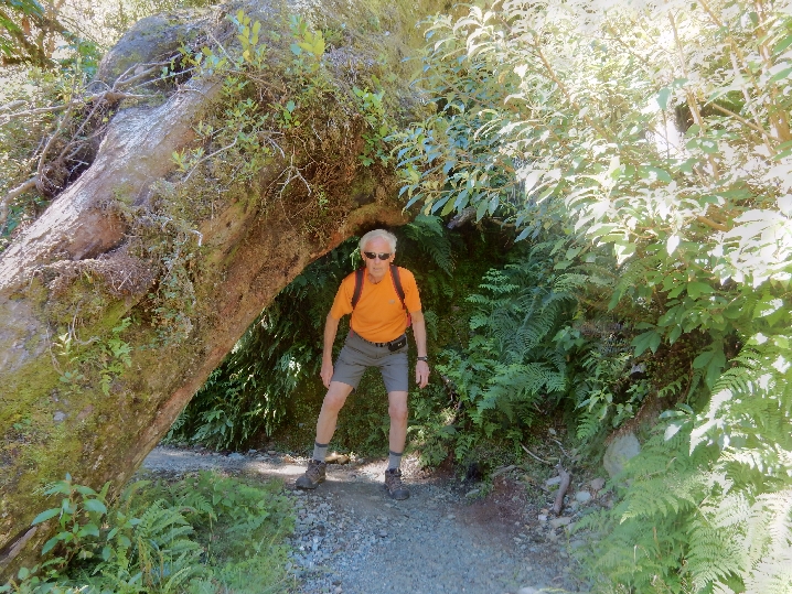
Watch your head!
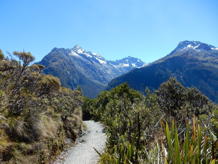
Mt Christina

Moving-up, looking back
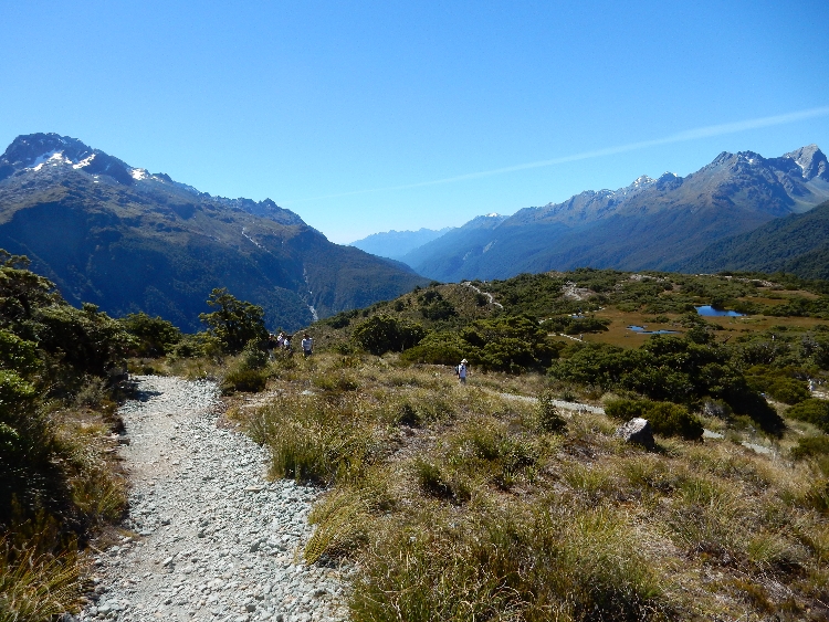
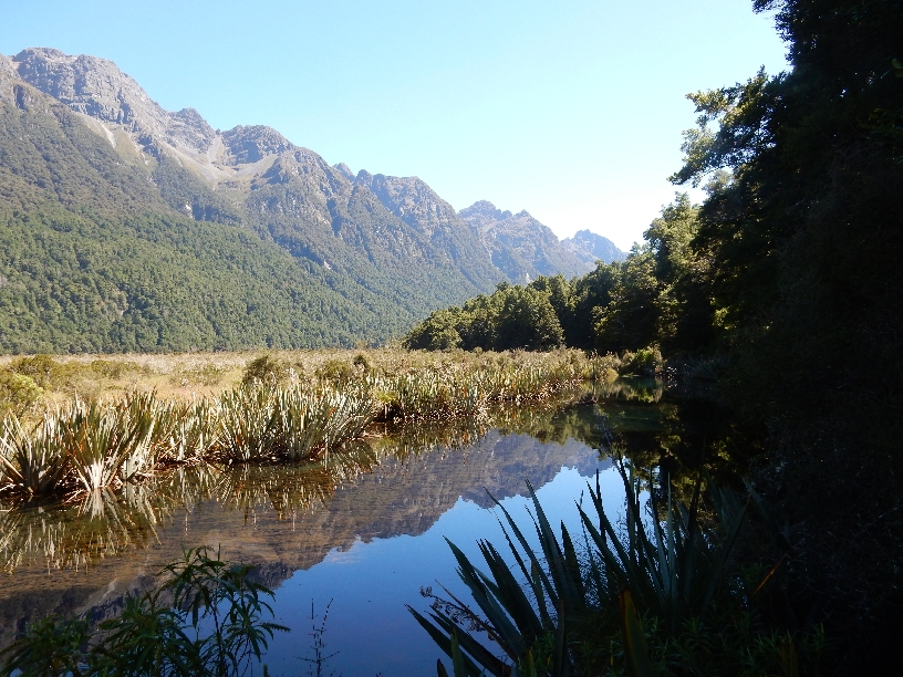
Key Summit – Lake Marian, a glacial tarn, can be seen right center in the bowl

Helen decided to start her descent before me. She didn’t want to wait as I took pictures. She followed a couple on a spur nature trail and couldn’t figure out where I had gone. I descended the regular trail, didn’t see her and didn’t find her at the bottom. She got to the car park about a half hour later and was upset with me for having passed (left?) her – go figure! Returning to car

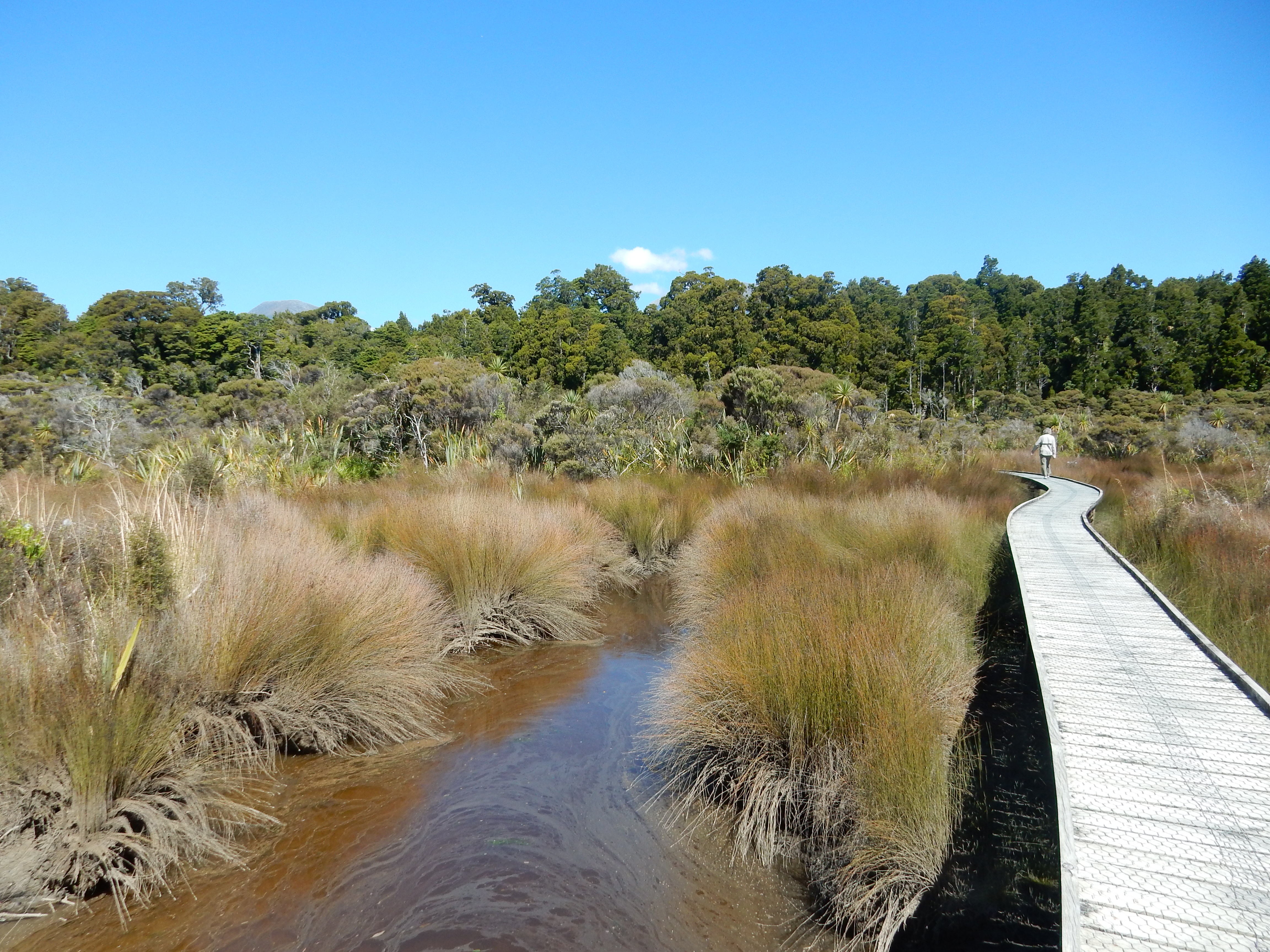
Alpine Wetland

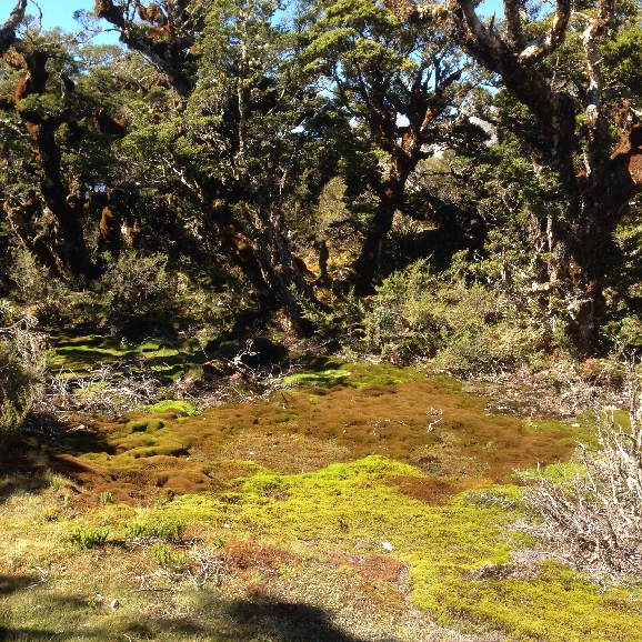
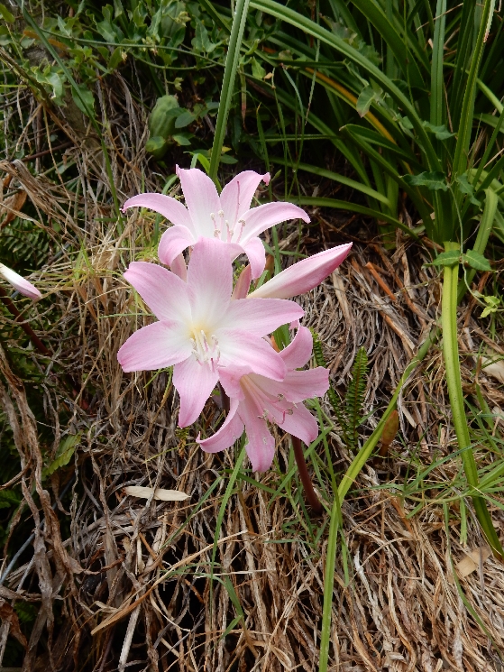
This flower is called a Gentium – 93% of over 600 native alpine plants are unique to NZ. This area also has two carnivorous or meat eating plants!

Stoat/Weasel/Ferret Trap – these are all predators that were introduced in NZ to control the rodents that were also introduced from ships. The problem was/is that they prey on NZ’s flightless birds (Kiwi, Takahe, Weka, etc.). We saw many of these traps during our hikes

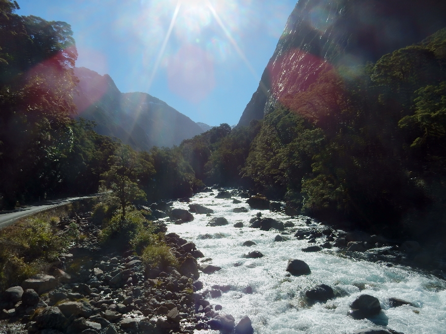
Hollyford River Valley

Driving west toward Milford
Little rainbow, lower left
Looking east from the east entrance to Homer Tunnel

Weeping Wall – waterfalls everywhere, I can only imagine what it is like when it is raining. We had exceptional good weather throughout Firordland. On average, it rains 200 days per year here!

The Homer Tunnel goes 0.75 mile through Darran Mountain

Arriving in Milford, we discovered that our room in the Milford Sound Lodge was not up to our expectations with the toilets and showers 100 ft from our room. Sent a Happy Birthday text to Brad – our 10th was his 9th in the U.S.!
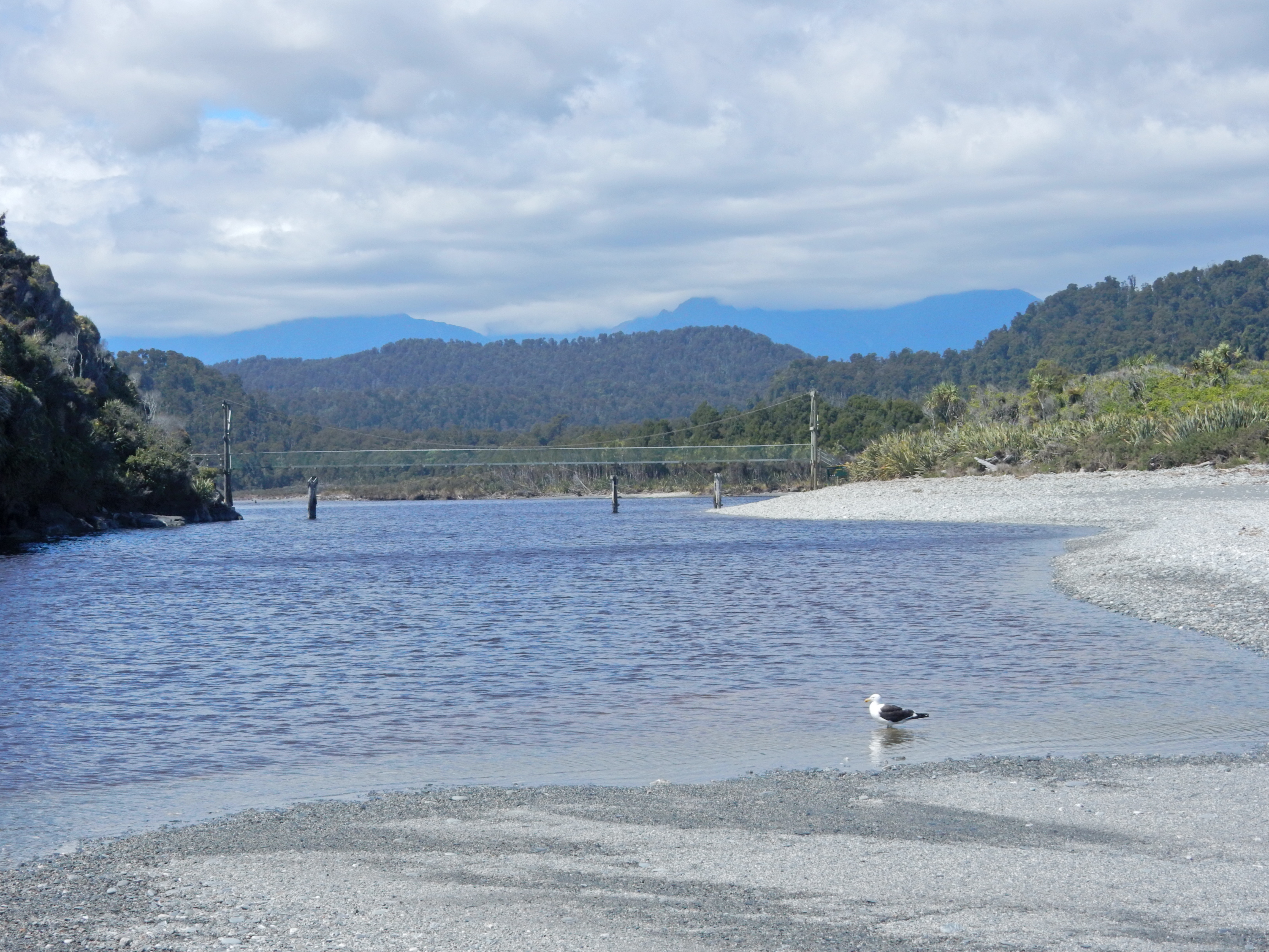
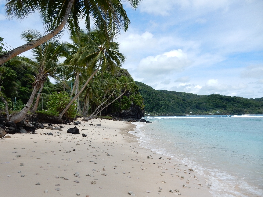
2/11 – Started the day by doing the Milford (Piopiotahi) Foreshore Walk – this is Milford Sound

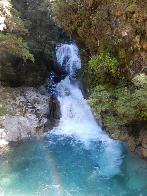
Yet another waterfall

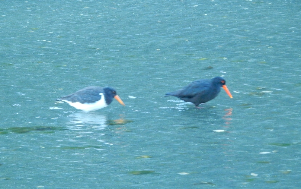
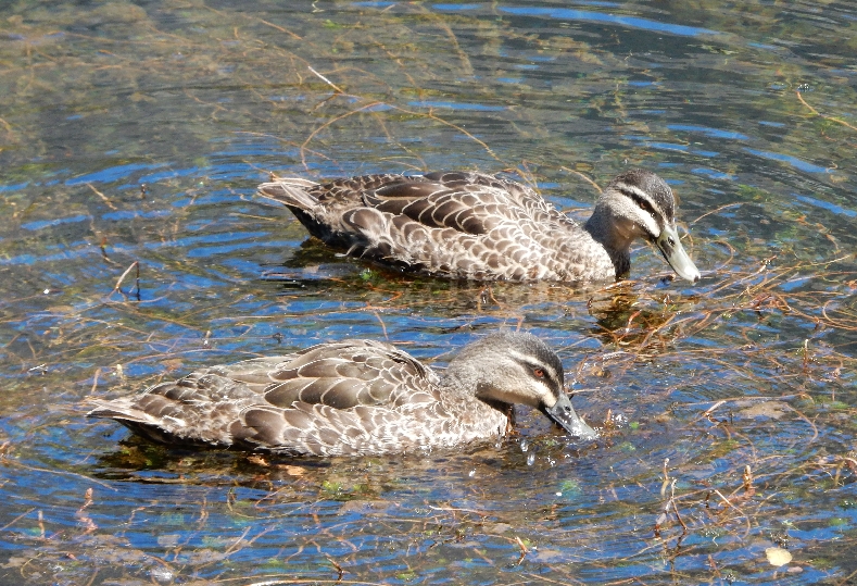
Two shore birds
Sunrise on Mitre Peak
Had a breakfast of coffee, cheese and crackers as we drove to our next short trail at the Chasm


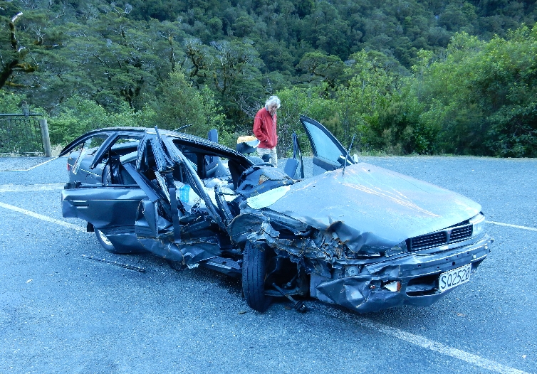
What happens if you miss a curve
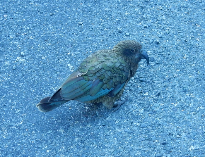
Kea – the world’s only alpine parrot, another of NZ’s endangered birds
This may be a Kaka, pictures were taken in the same parking lot

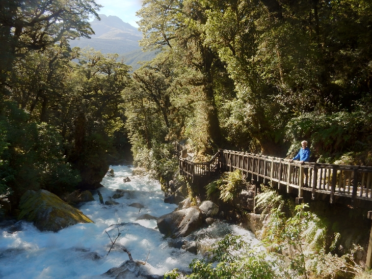
After passing back through the Homer Tunnel we did the 30 min trail to the gantry at Marian Falls
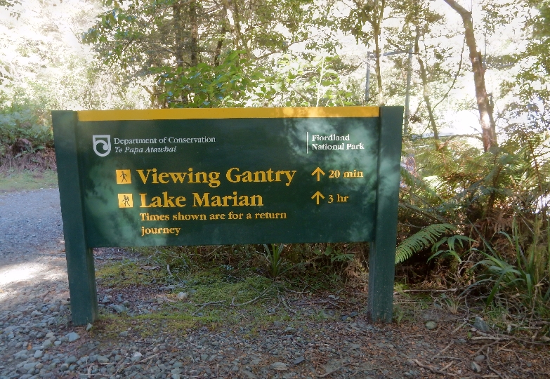


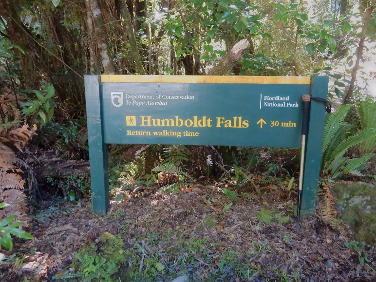
Then drove another half hour to the trailhead for Humboldt Falls

Dead stoat on road – one of the animals that are killing NZ’s birds

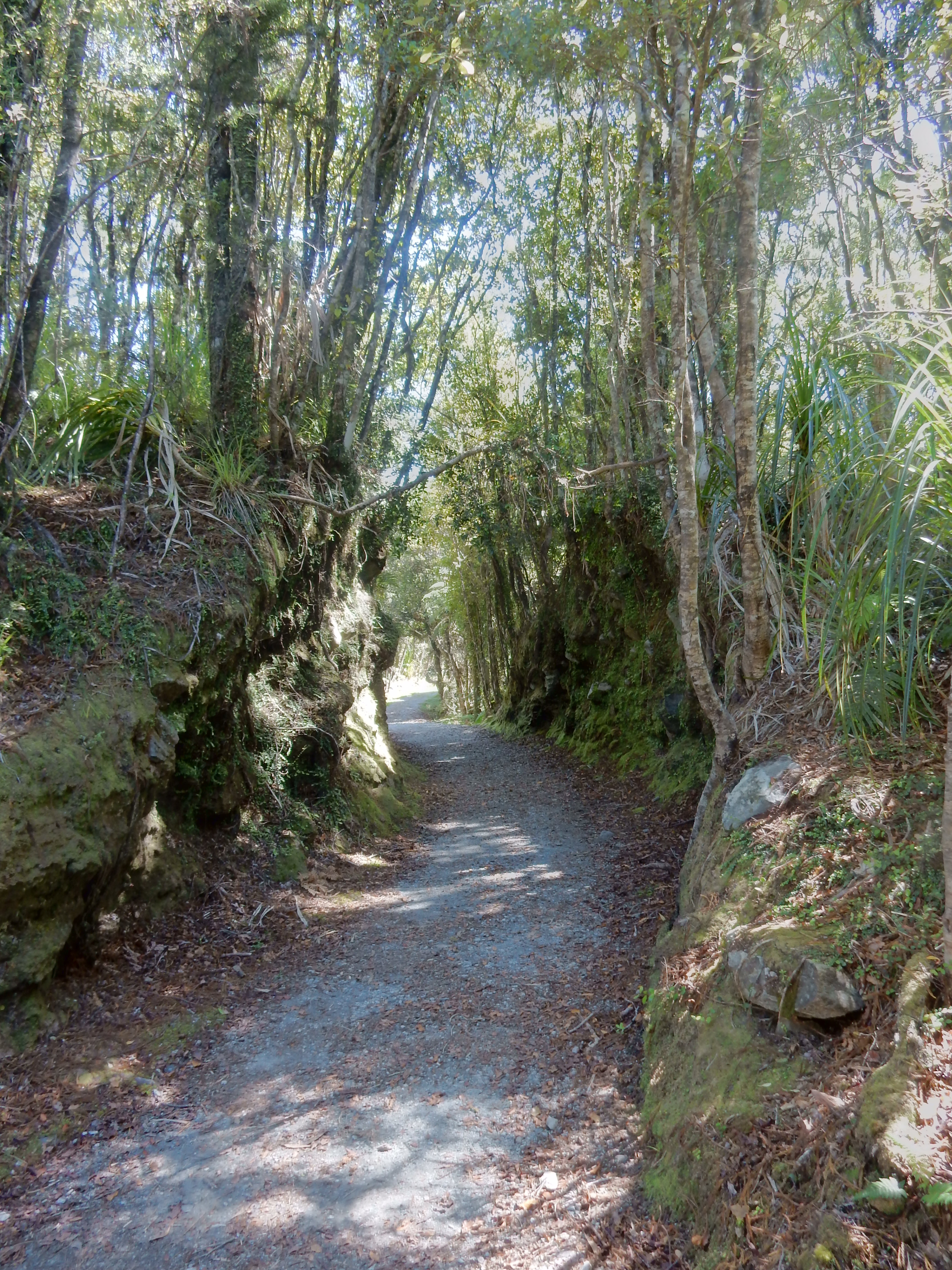
Start of trail through rainforest to falls
Hollyford River

Humboldt Falls – 900 ft drop

Sign showing our route on the Milford Road

Next stop was Mirror Lakes, the boardwalk through beech forest took us to some great views

Earl Mountains
Why they call them Mirror Lakes!

Life –


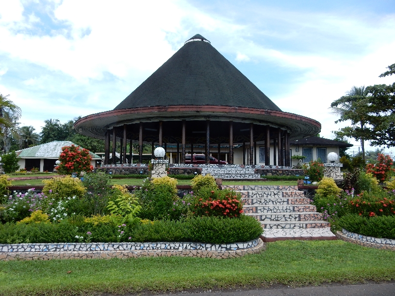
Stopped in Te Anua for gas, a sandwich and a picture of their Takahe statue

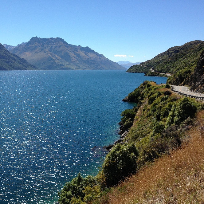
We picked up a German backpacker outside of Te Anau and dropped him off at Rt 6 as he was on his way to Invercargill. Lake Wakatiput on our way to Queenstown –
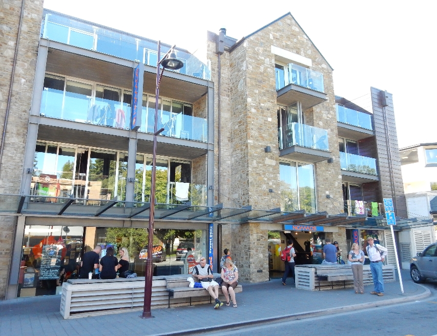
Outside of Queenstown we picked up another hitch-hiker who had just done a traverse of the Remarkable Mountains east of the city. We drove him into town and then found our accommodations at the Nomads Youth Hostel – yes, these old folks stayed at several youth hostels!
Queenstown beach, Remarkable Mountains in background

Frisbee play at Queenstown downtown Mall

Interesting water fountain

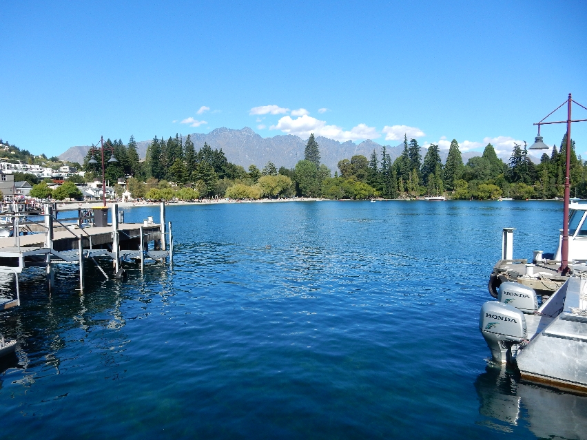
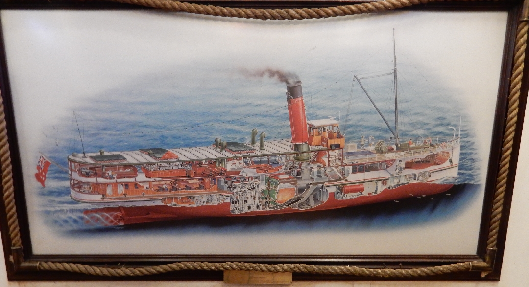
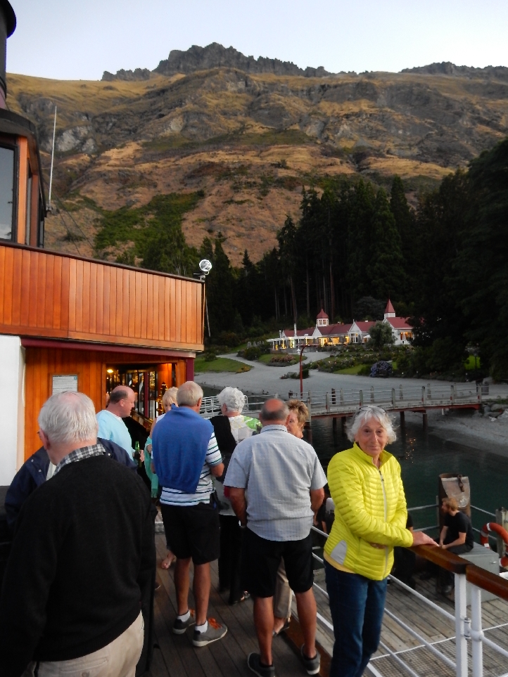
We rushed to clean two days of dirt from our bodies and then boarded the coal/steam fired 100 year old TSS Earnslaw.
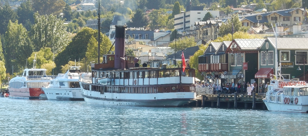
It took about an hour to cross Lake Wakatipu
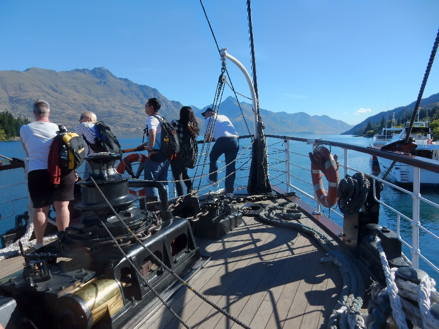
A photographer in a Real Journey’s helicopter (right center in picture) took promotional photos as we steamed across the lake

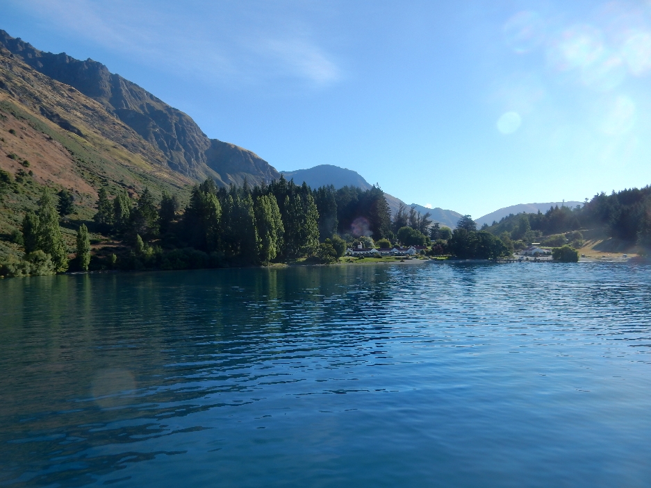
Our destination – Walter Peak Farm

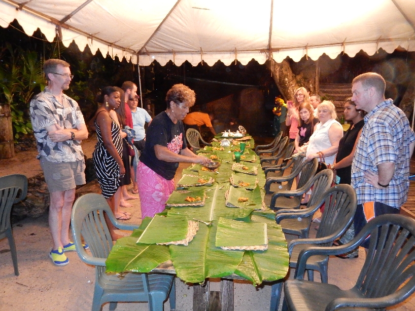
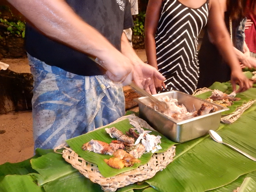
Our Gourmet BBQ Dinner consisted of all you could eat local produce – salads, vegetables, meats and seafood

Followed by a wide array of dessert options

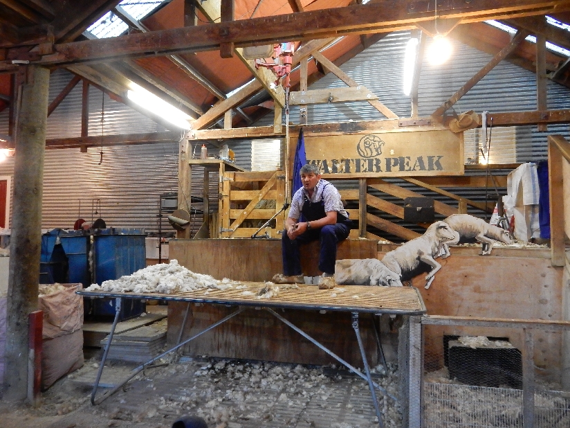
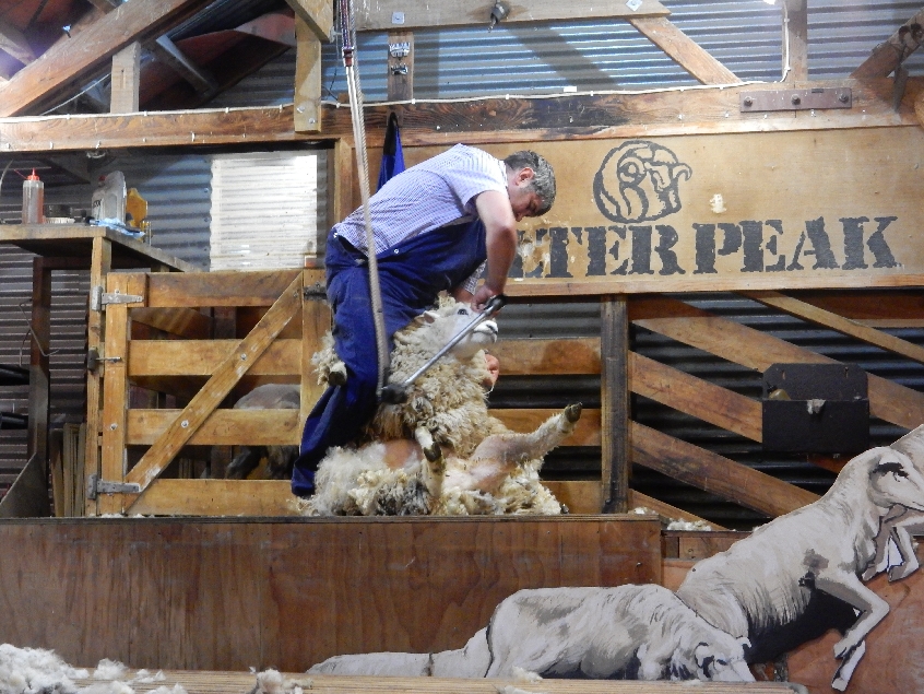
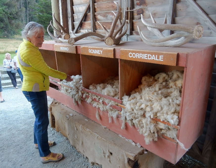
After dinner we were treated to a sheep dog demonstration – rounding up and bringing in sheep using various whistles, followed by a sheep-shearing demonstration
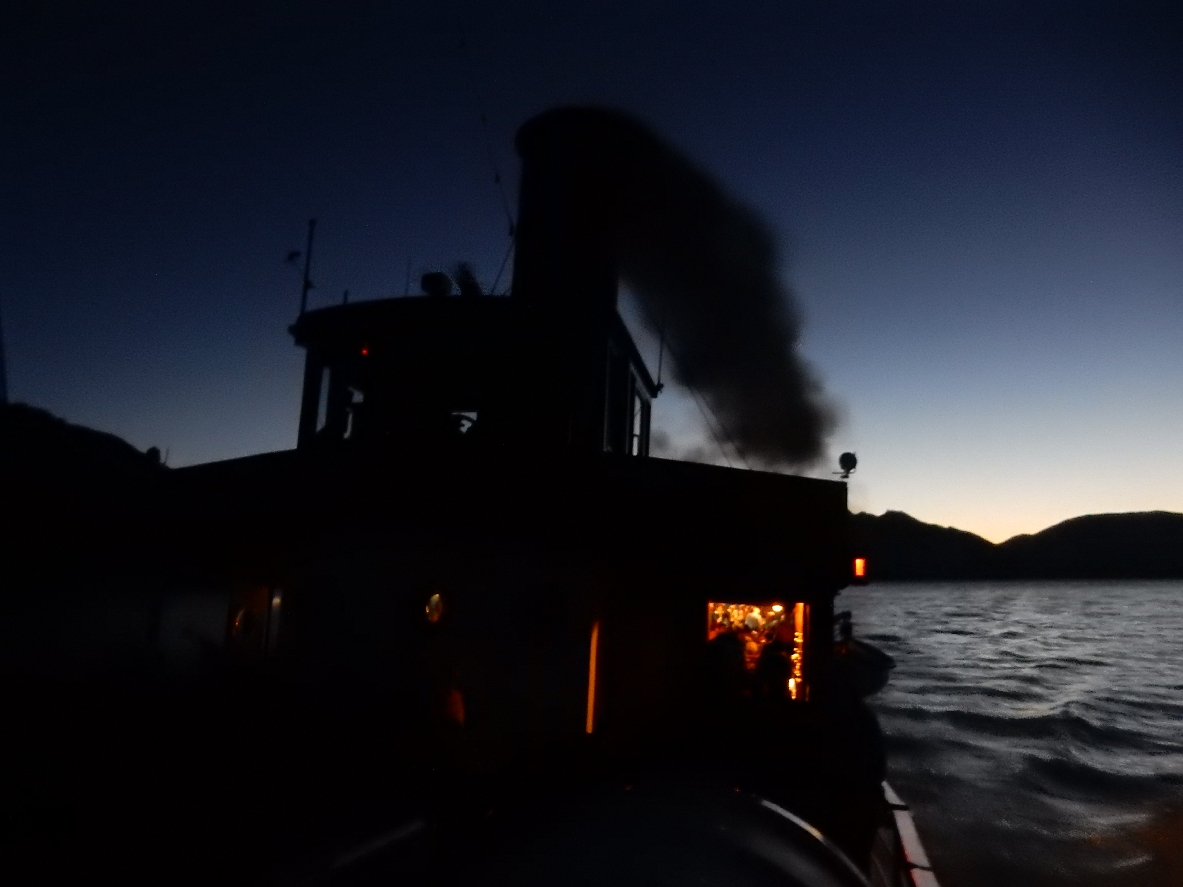
TSS Earnslaw returning for pick-up

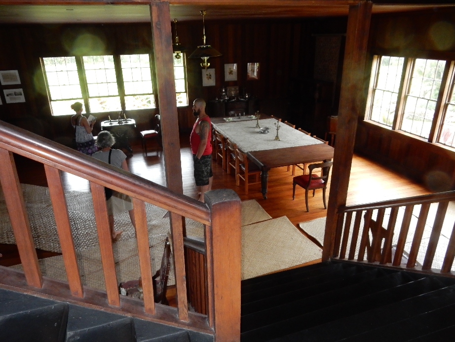
Diagram of steamship’s interior
Departing for Queenstown – the entire Walter Peak Farm cruise, dining and demonstration experience took four hours
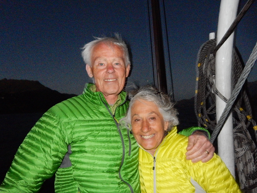
Happy passengers
There was a sing along with pianist in the stern as we polluted the air on our way back to Queenstown
2/12 – After a bagel, muffin and coffee at Fergbaker in Queenstown we drove to scenic Wanaka. Stopped at the Visitor Center, took a short stroll along the lake, ate a sandwich and gassed up. Wanaka beach –

Helen was grouchy because she said we didn’t spend enough time in Queenstown. So, I cut our 1.5 hr Mt Iron hike and substituted a half hour stop at Salvation Army to improve her disposition. She bought a pair of red capris, four orange napkins and a very cool hand carved wooden bowl with braided lip (perhaps from the Cook Islands). Here are a couple of more pictures from the lake front –

Bought gas in Whataroa just so we could clean the windows on the car.
While at the gas station we met a cyclist we had passed a few times on the road. He was from South Dakota and was carrying an American flag on the pole he was using for his Go-Pro. He was on the last half of his 5 month cycle around New Zealand.

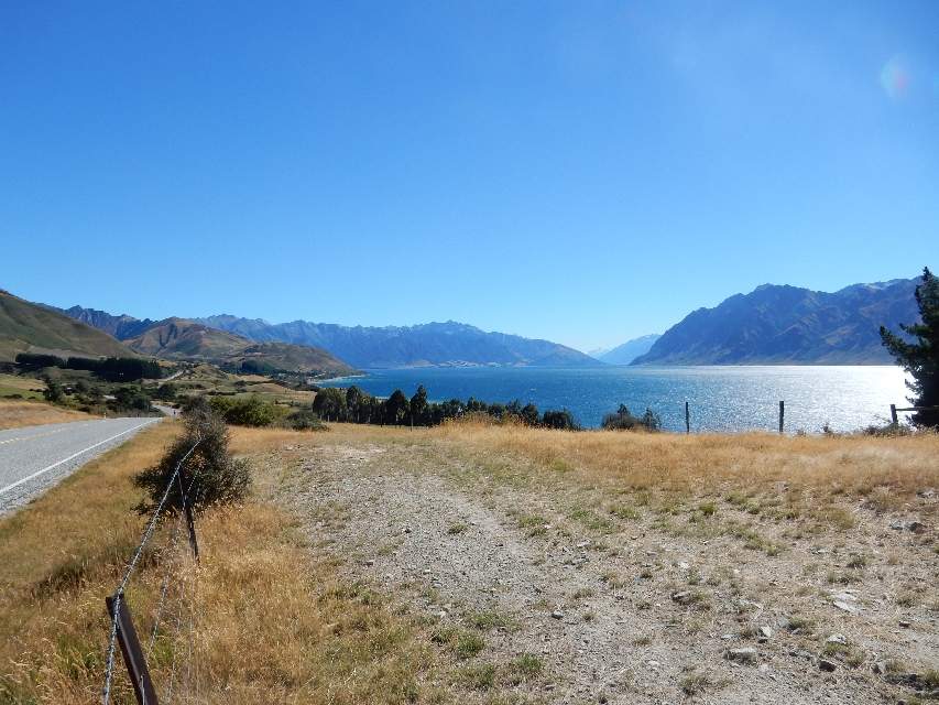
Lake Hawea
Screening protecting fruit trees

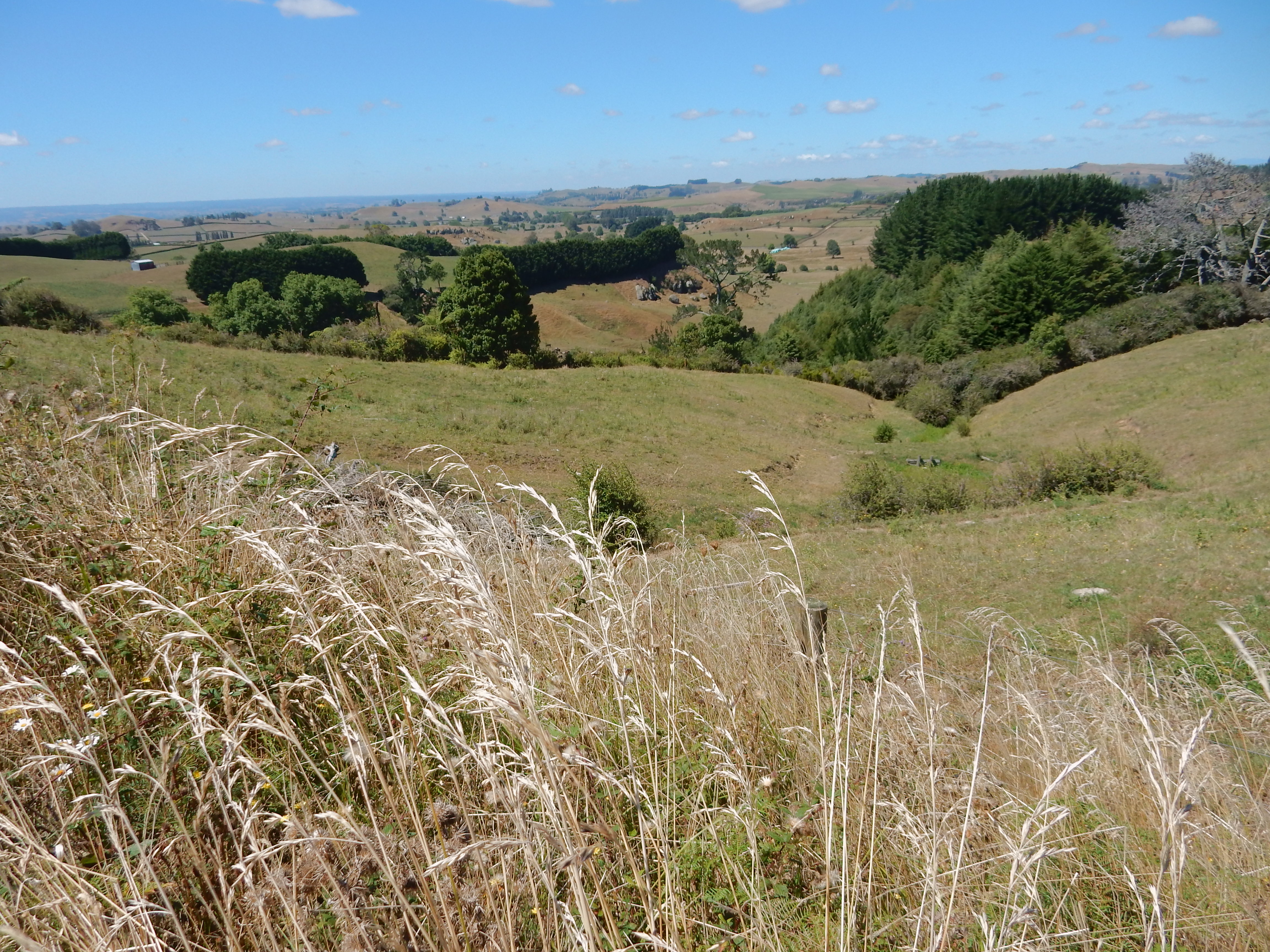
Scenery along Rt 6


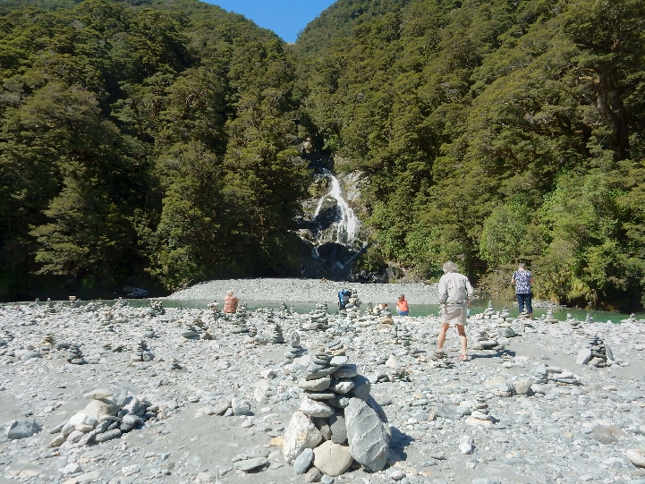
After crossing Haast Pass we stopped for a short walk to Fantail Falls – creative people built a series of cairn like markers with river stone
Not far down the road we did another short walk through kamahi and silver beech forest to Thunder Creek Falls

This was our next stop along the Haast River

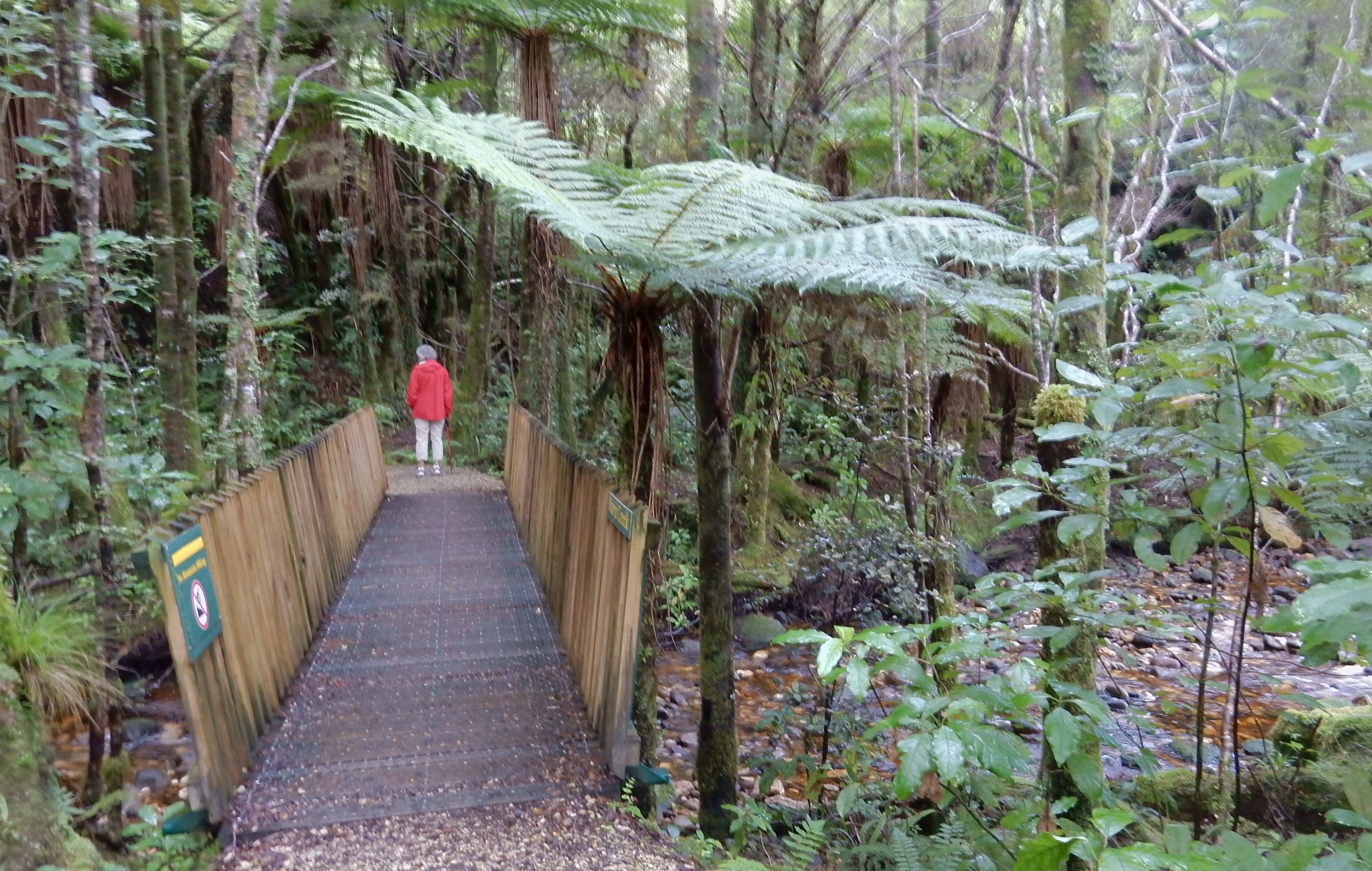
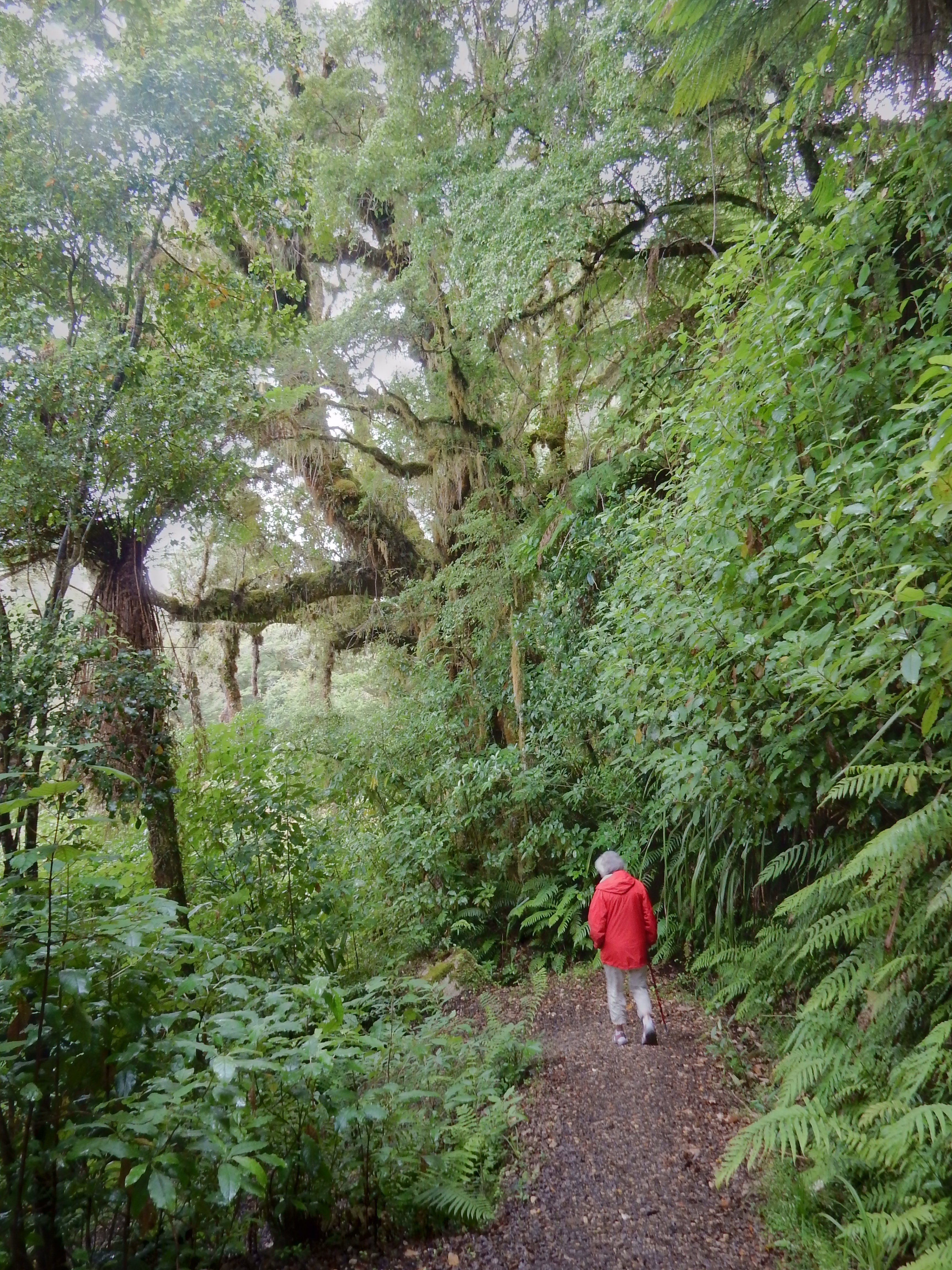
An enjoyable walk through a podocarp/silver beech rainforest

Lush tree ferns

Roaring Billy Falls

Aquamarine Haast River

Stopped at the Haast Visitor Center – on the west coast of New Zealand’s South Island

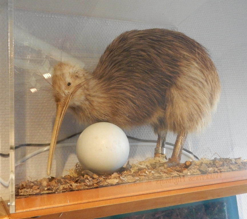
Decided to take a picture of a stuffed Kiwi, since it was unlikely we will see the real thing
Dropped off our bags at the Haast Holiday Beach Park and then did the Hapuka Estuary Loop Walk. The vegetation here continues to amaze me.

Boardwalk through the intertidal zone
Lush vegetation
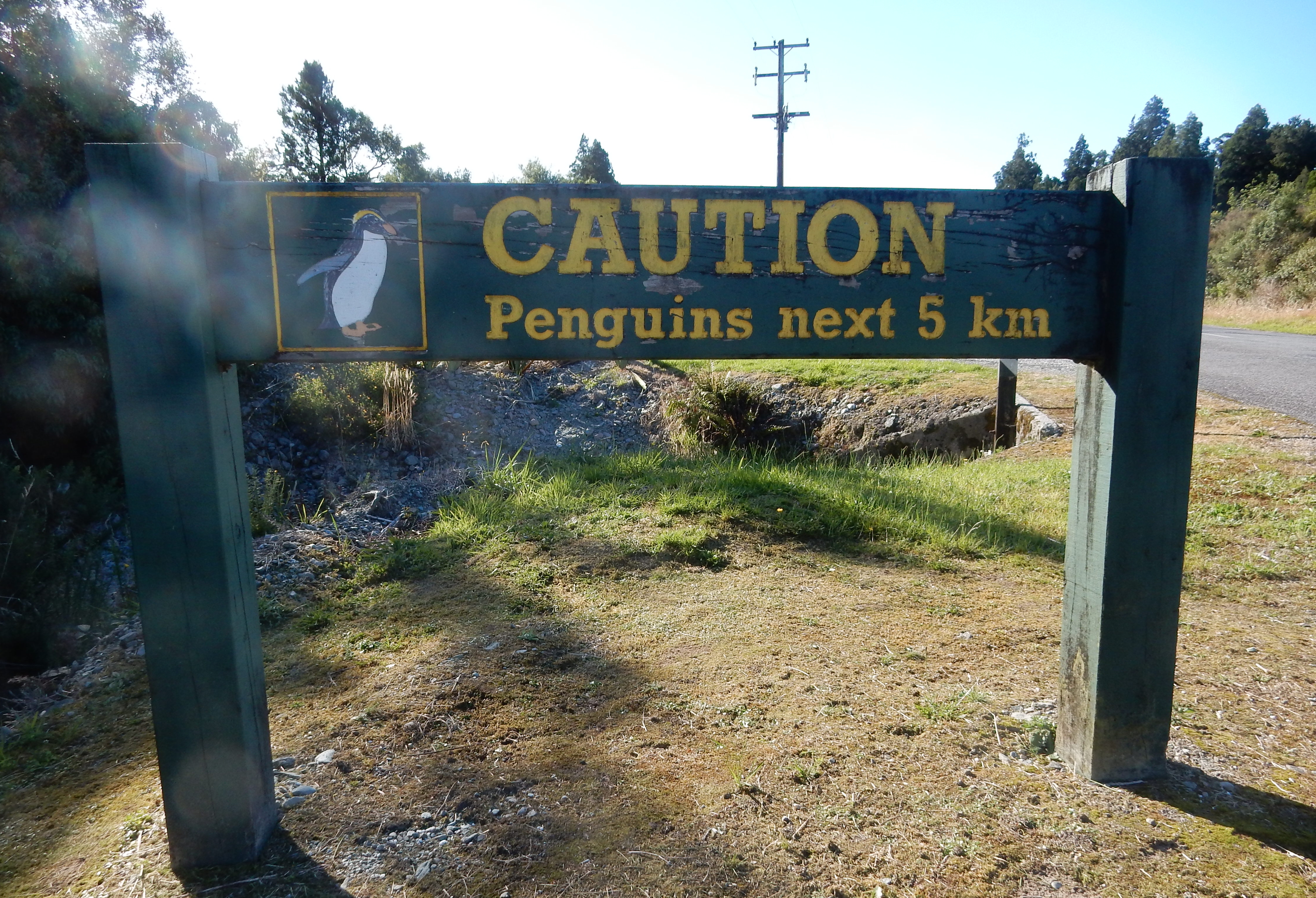
Heading toward Jackson Bay – the largest economic industry in NZ is raising sheep. The second largest is dairy exports
Didn’t see any Penguins
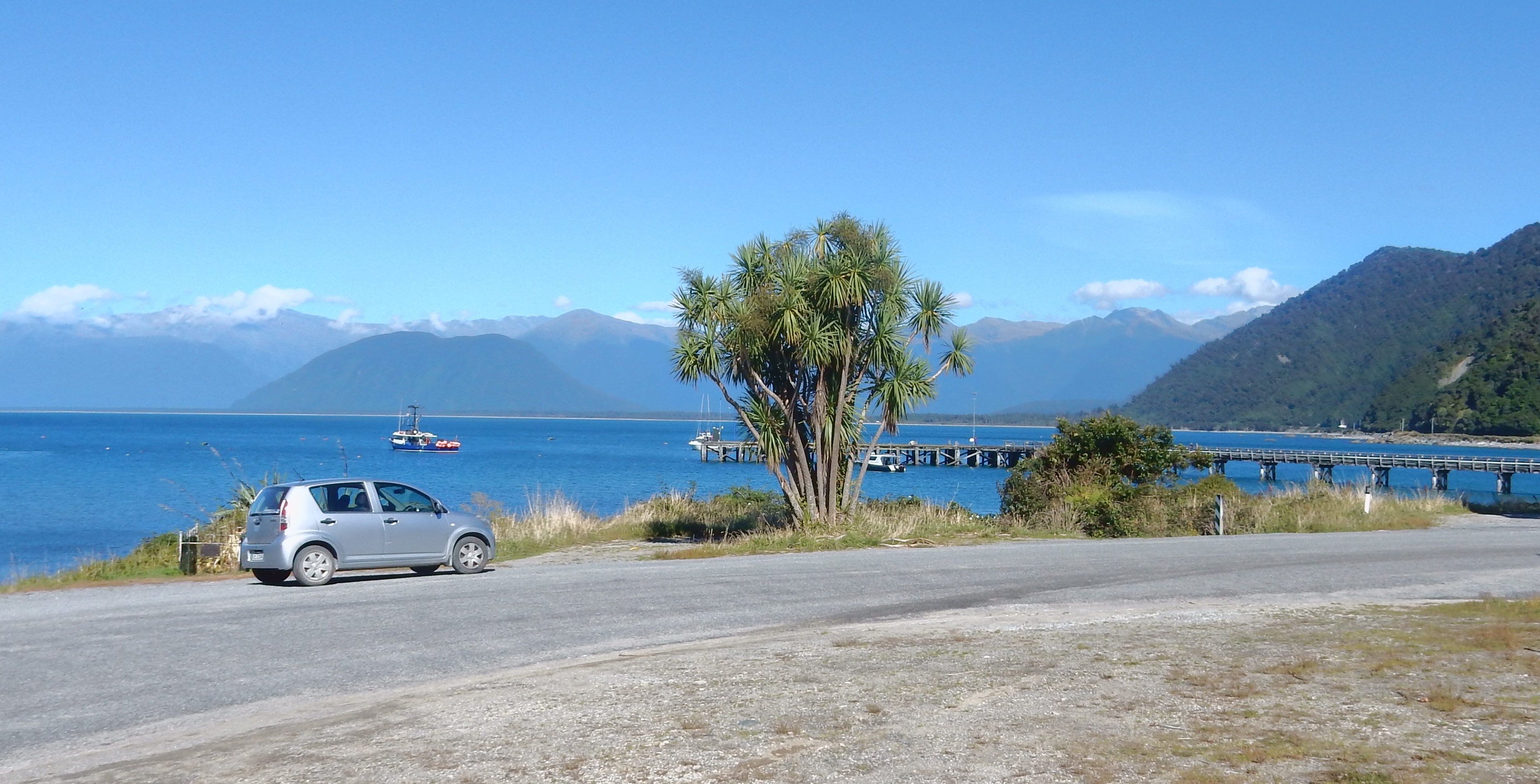
Jackson Bay

Drove to the end of the road and did the Wharekai Te Kou Walk to Ocean Beach

Hike through wildlife refuge

Ocean Beach – Helen collected more shells

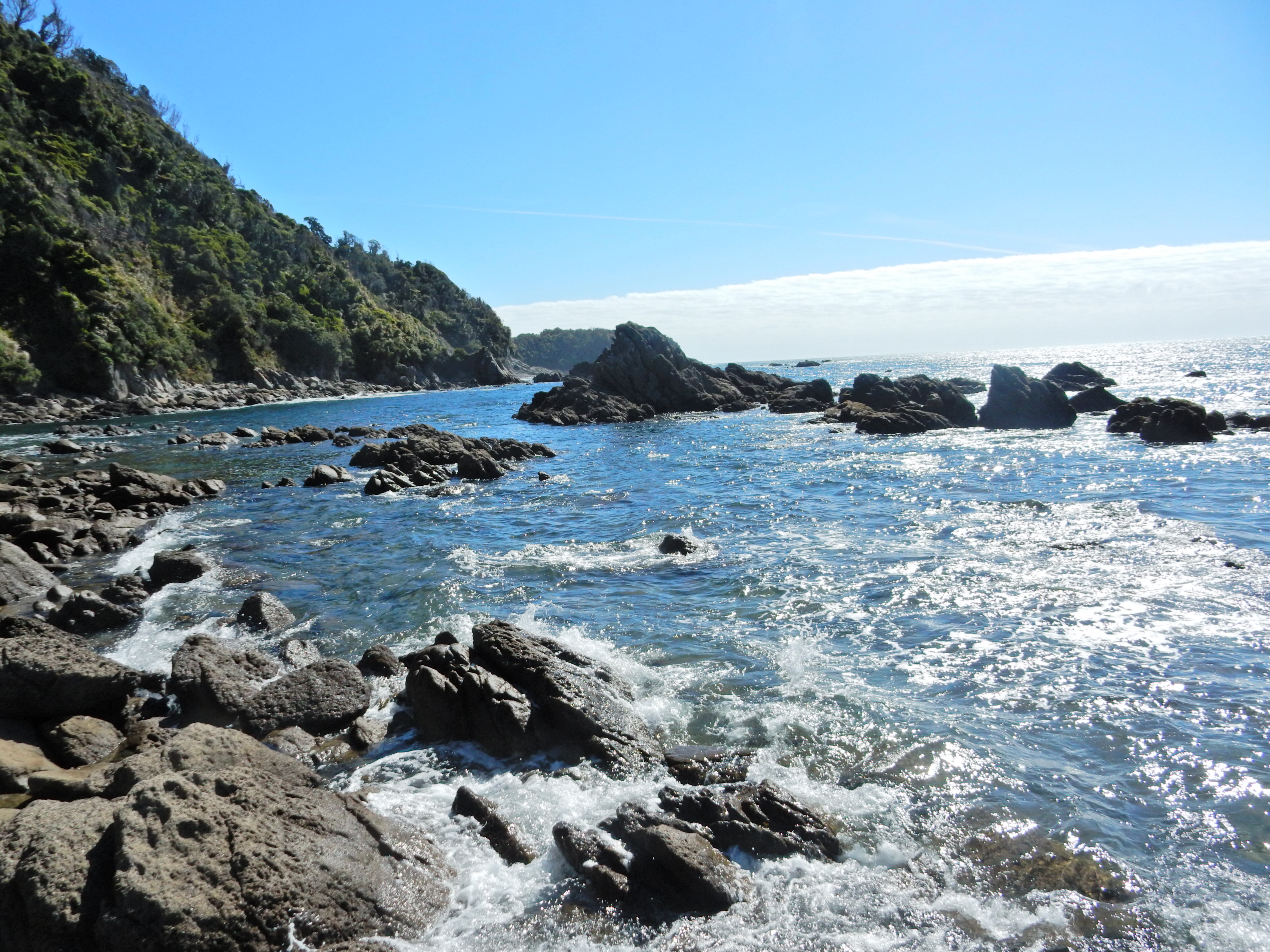
Another view of Jackson Bay
Shore birds


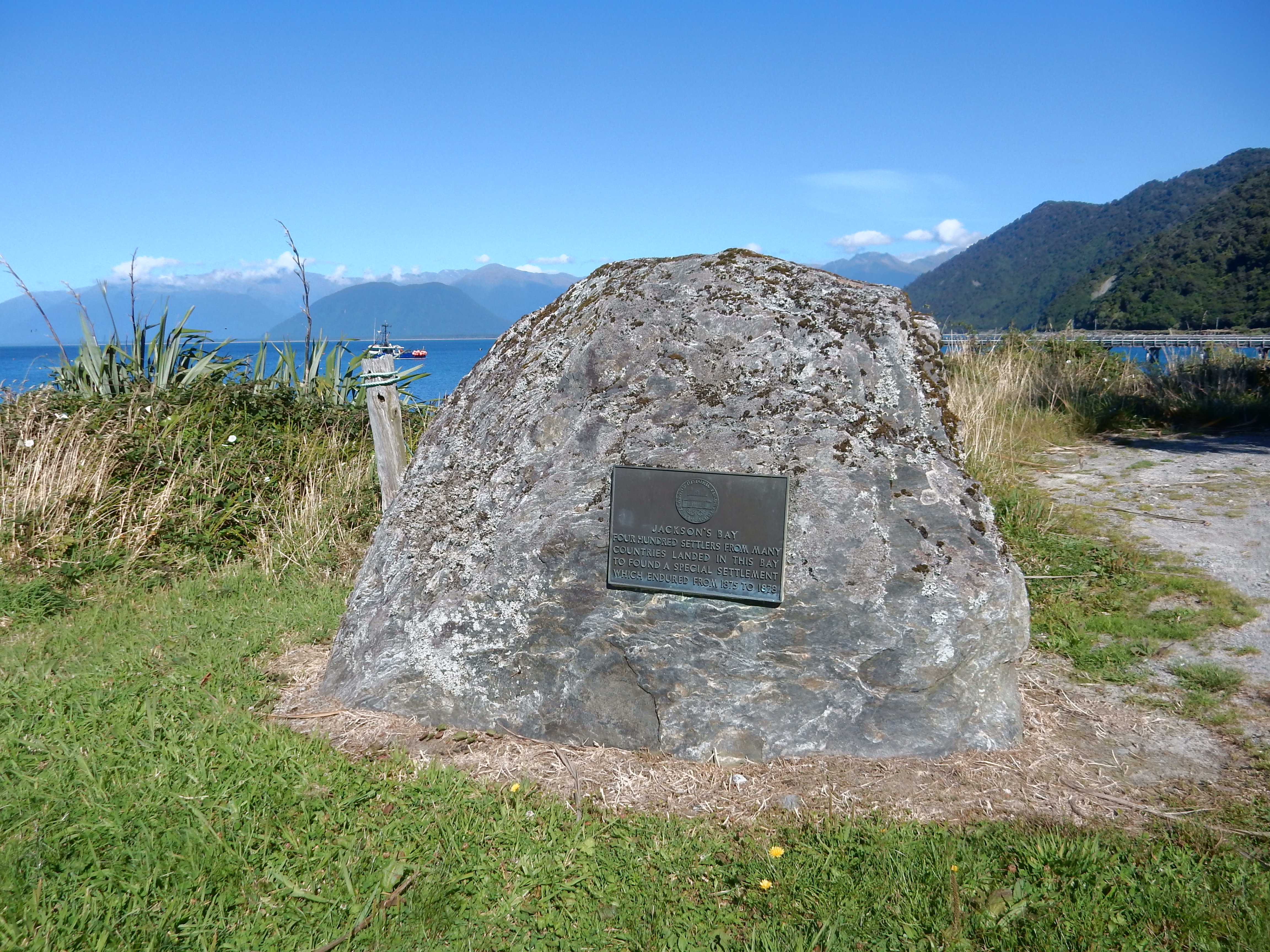
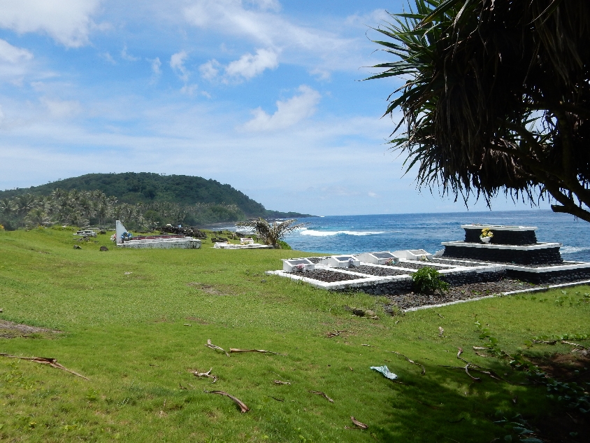
Four hundred settlers landed here in 1875 but the settlement was not successful due to harsh conditions
Grave of Claude Morton Dllibier who died onboard the schooner “Ada” August 27, 1862. I hope he knows that I put him in our blog –

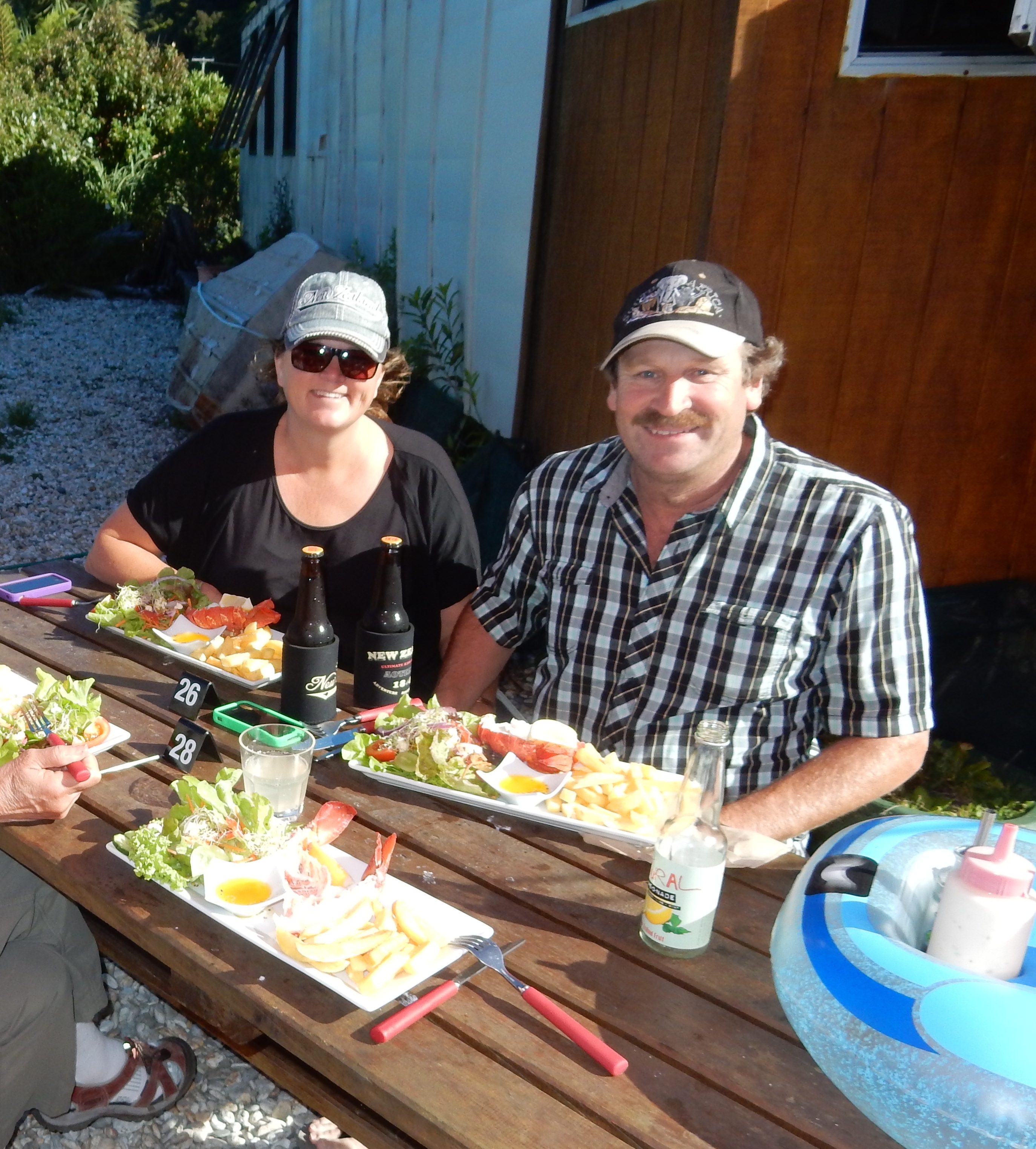
Ate at the well-known “Cray Pot” (converted trailer), the only place to eat in Jackson Bay
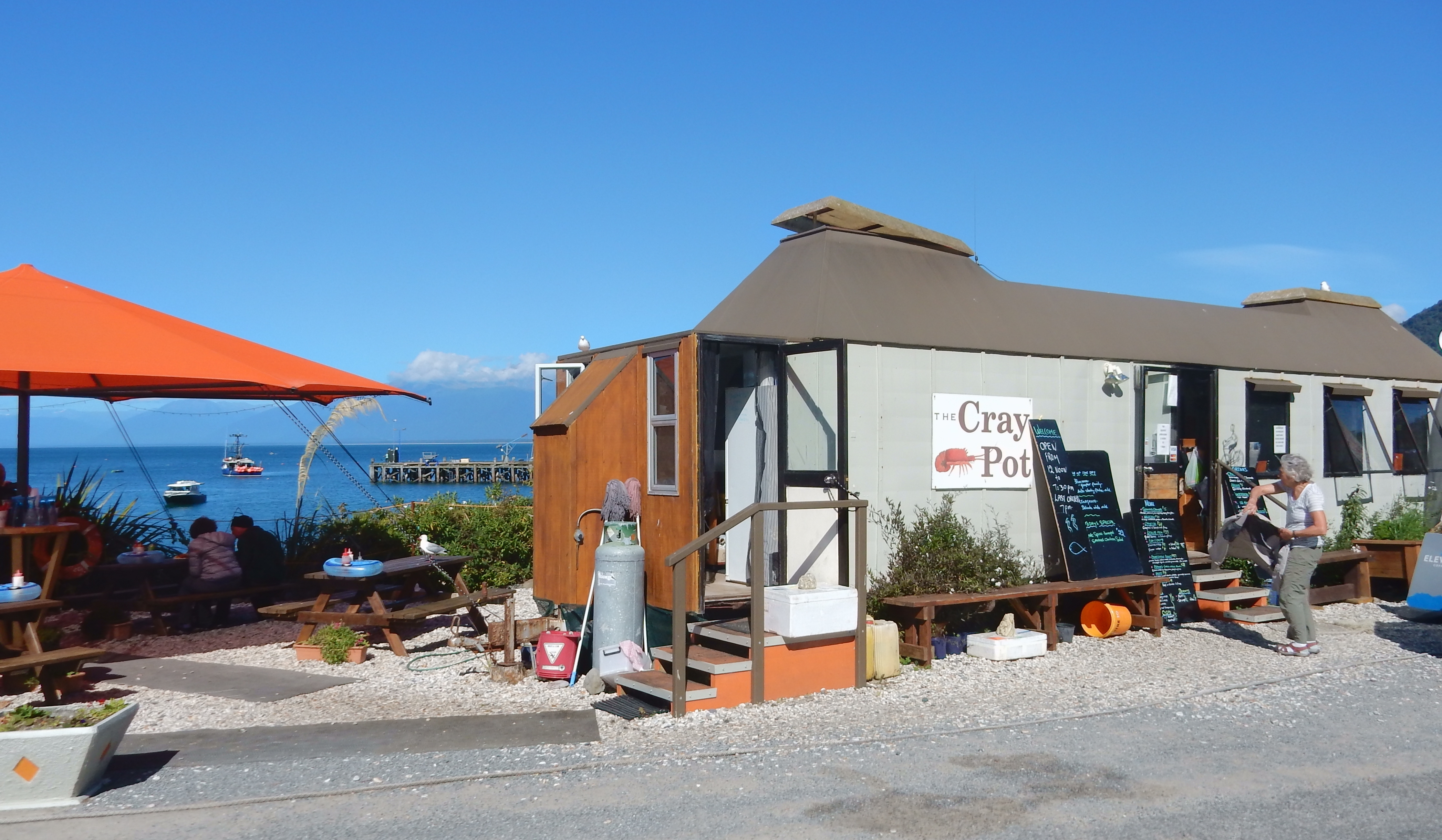
I had a large crayfish (type of lobster) and Helen had a blue nose (groper family) – another outstanding meal!
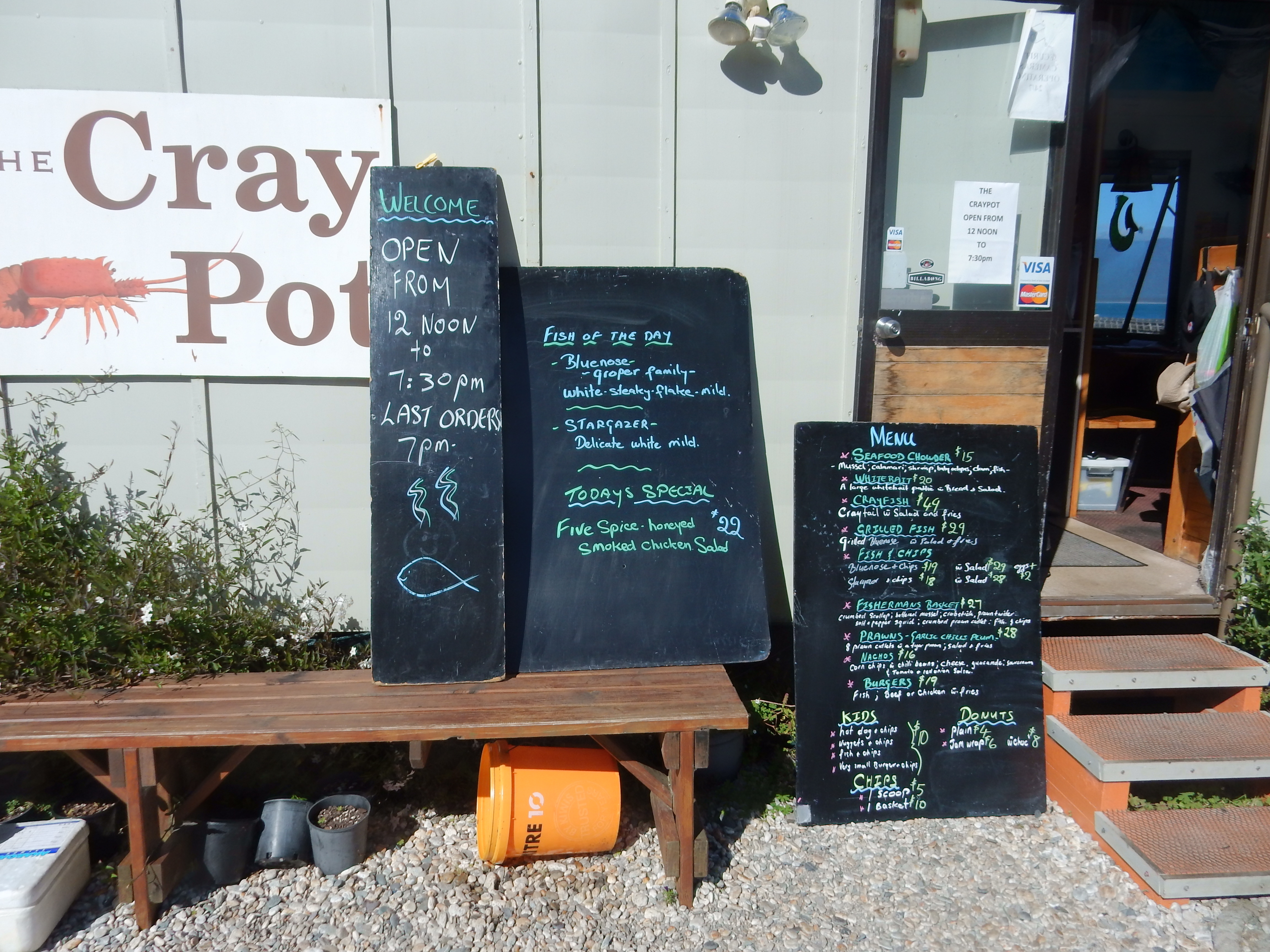
We shared our table with Helen and Greg who were sheep farmers from south of Perth Australia.
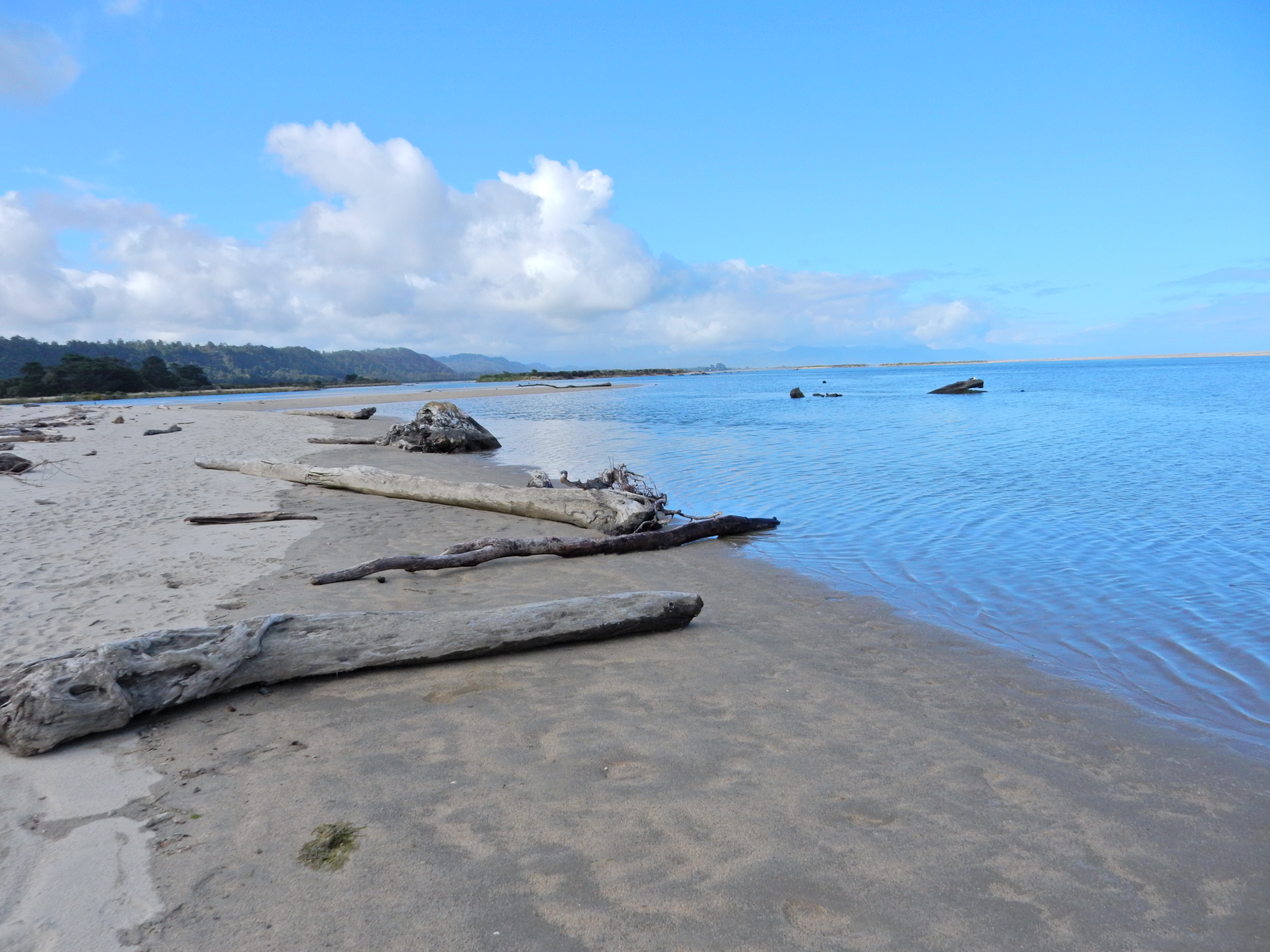
2/13 – Nothing was open as we left tiny Haast at 7:30. We shared a gas fill-up with two girls from Canada. They knew their pin for the unmanned gas station and filled-up first. Then I continued for another $36 NZ. Stopped at Ship Creek for two short hikes. It appeared to be a newly developed area.
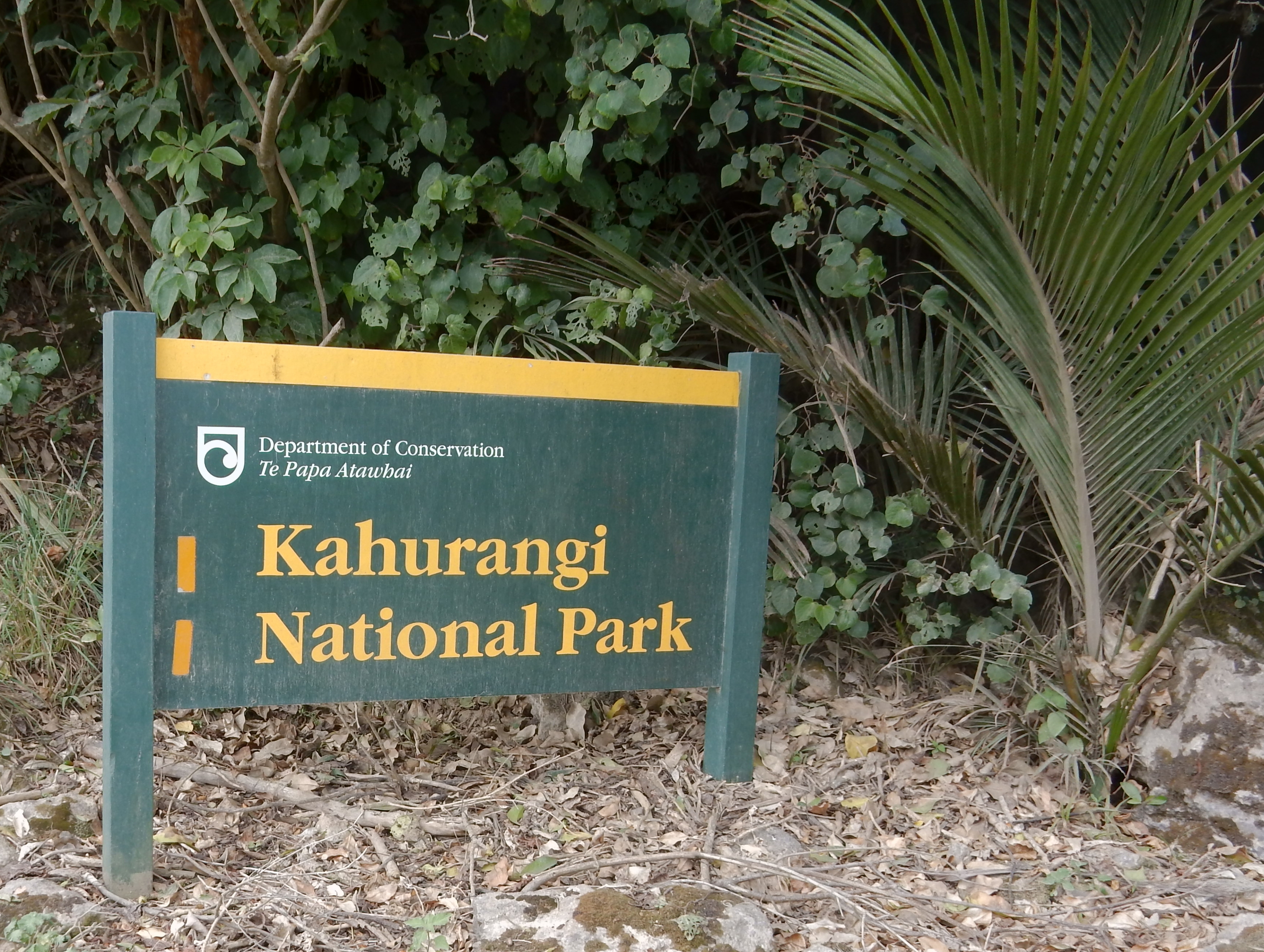
Are you ready for this mouthful? These walks were in the Te Wahipounau South West New Zealand World Heritage Area and the Tauparikaka Marairai Reserve!
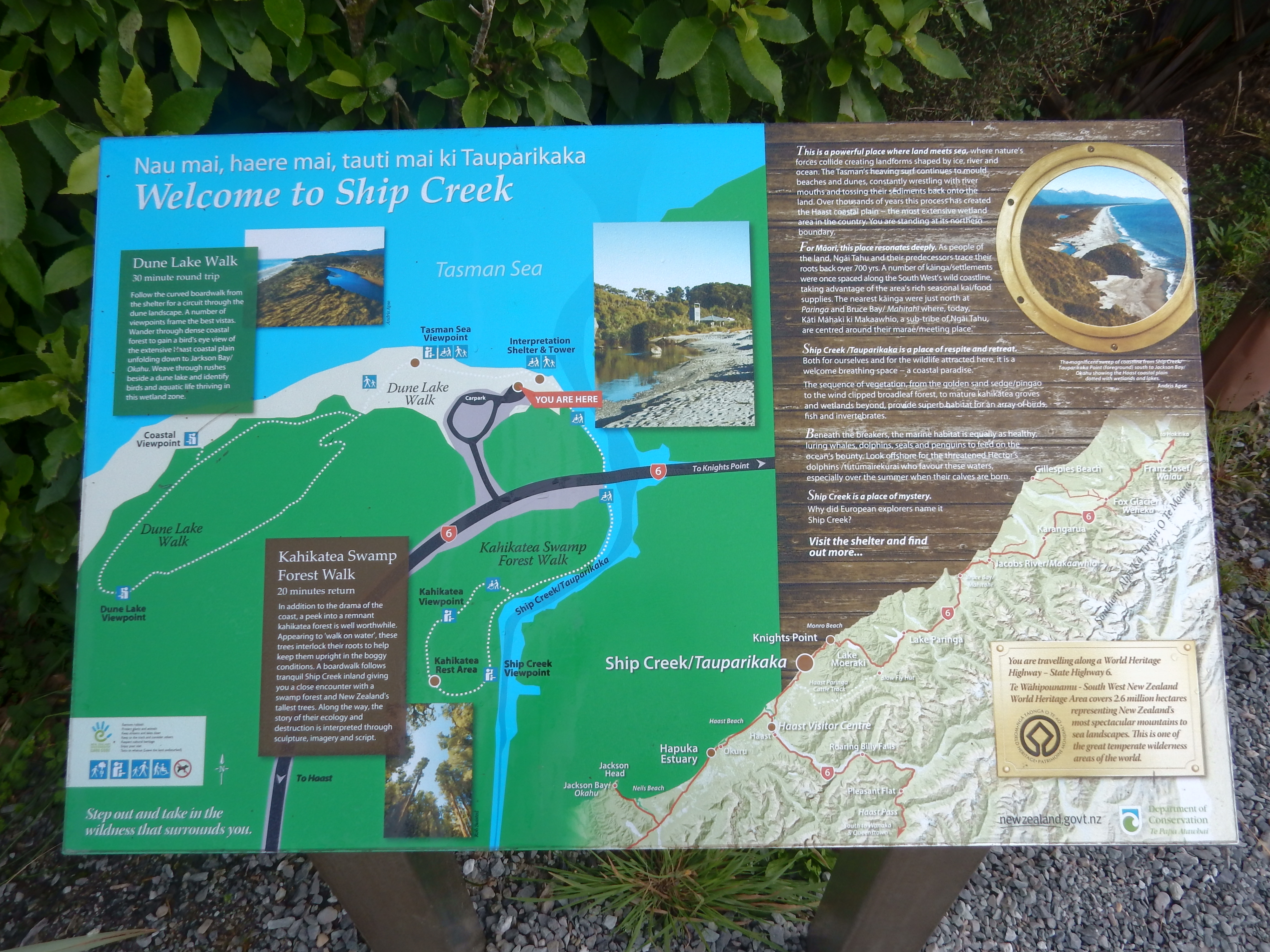
The first was along the ocean – Dune Lake Walk


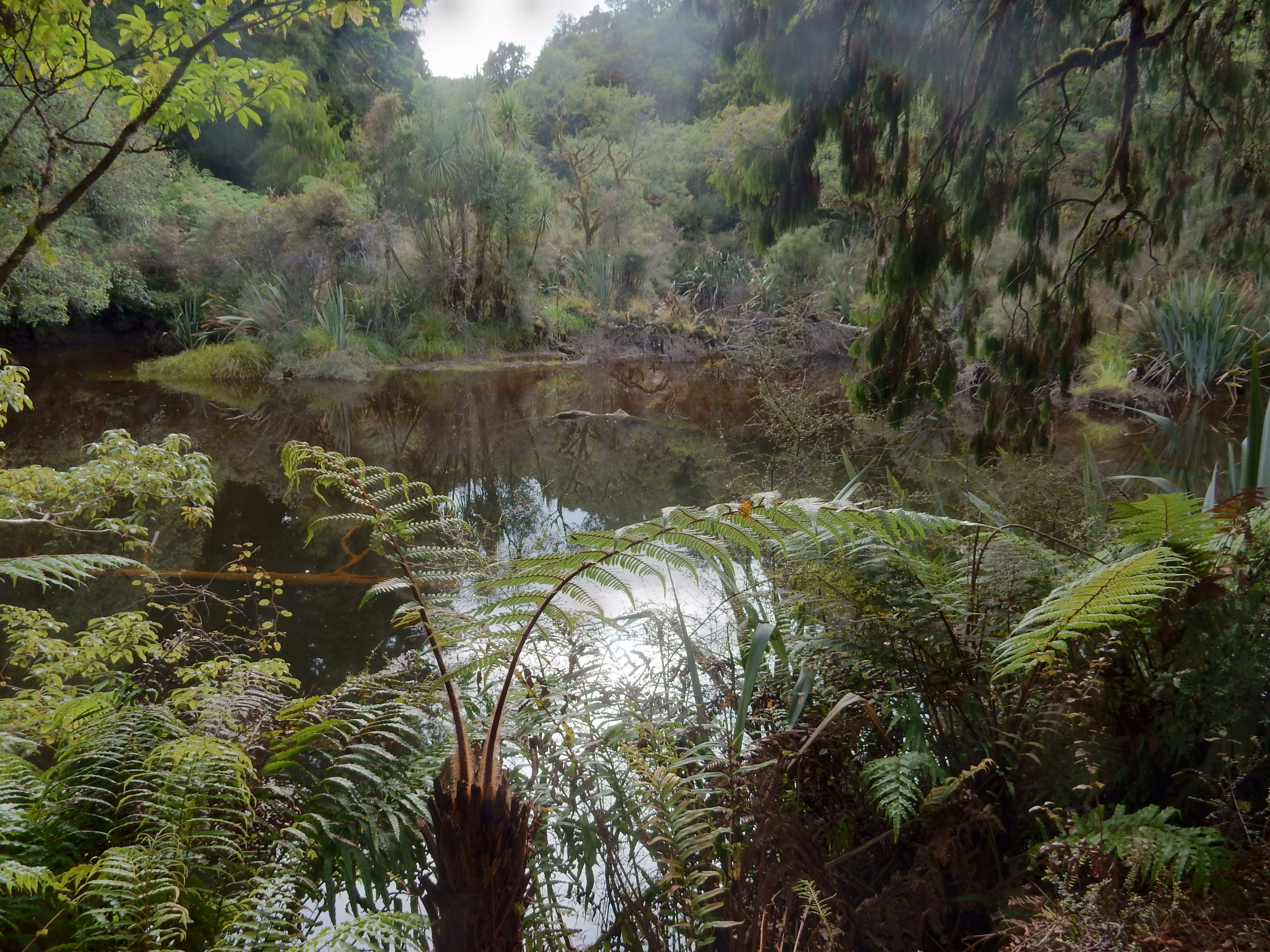
The second was up Ship Creek – Kahikatea Swamp Forest Walk

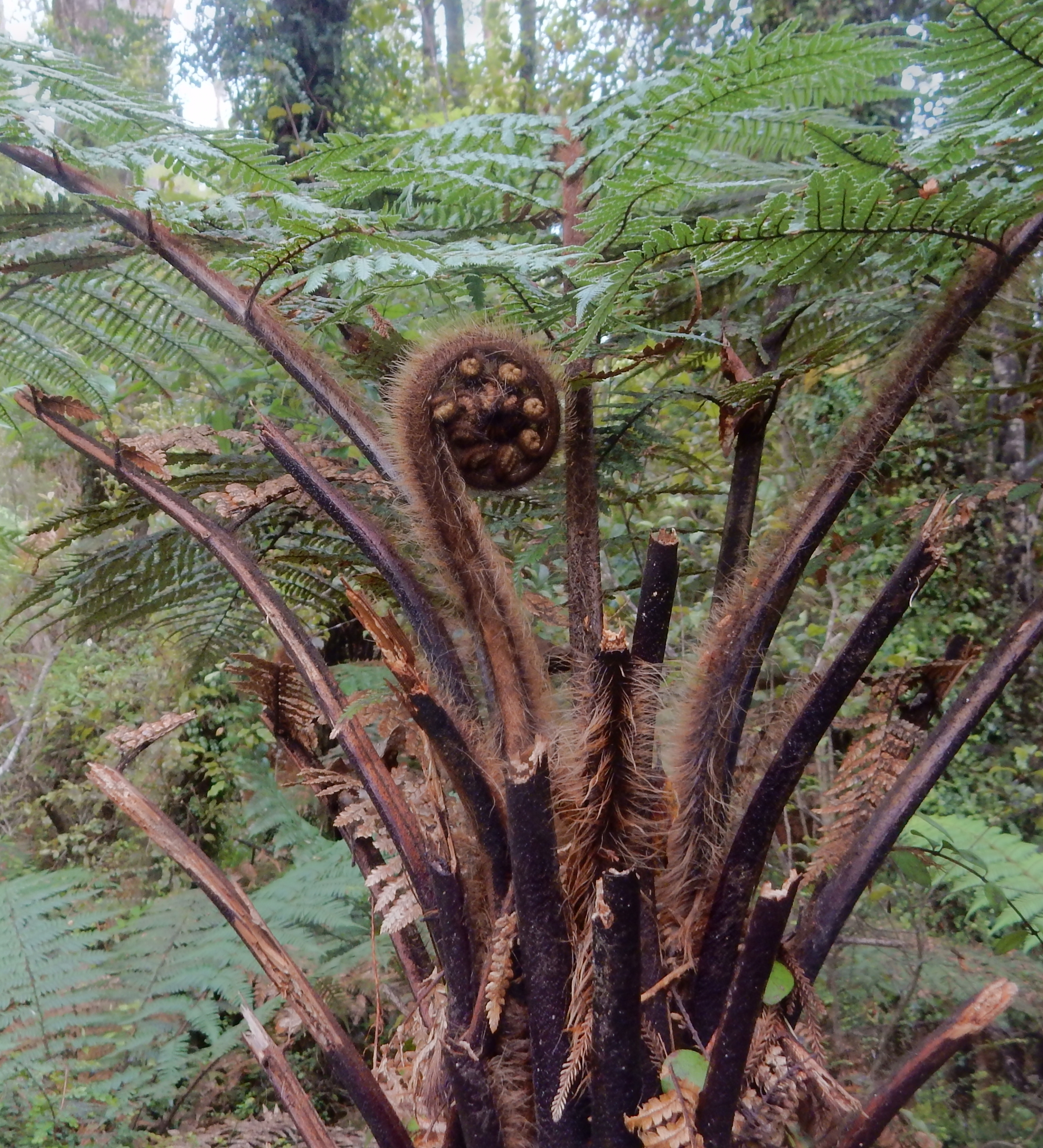
New tree ferns start as tight little spirals uncurling as they grow

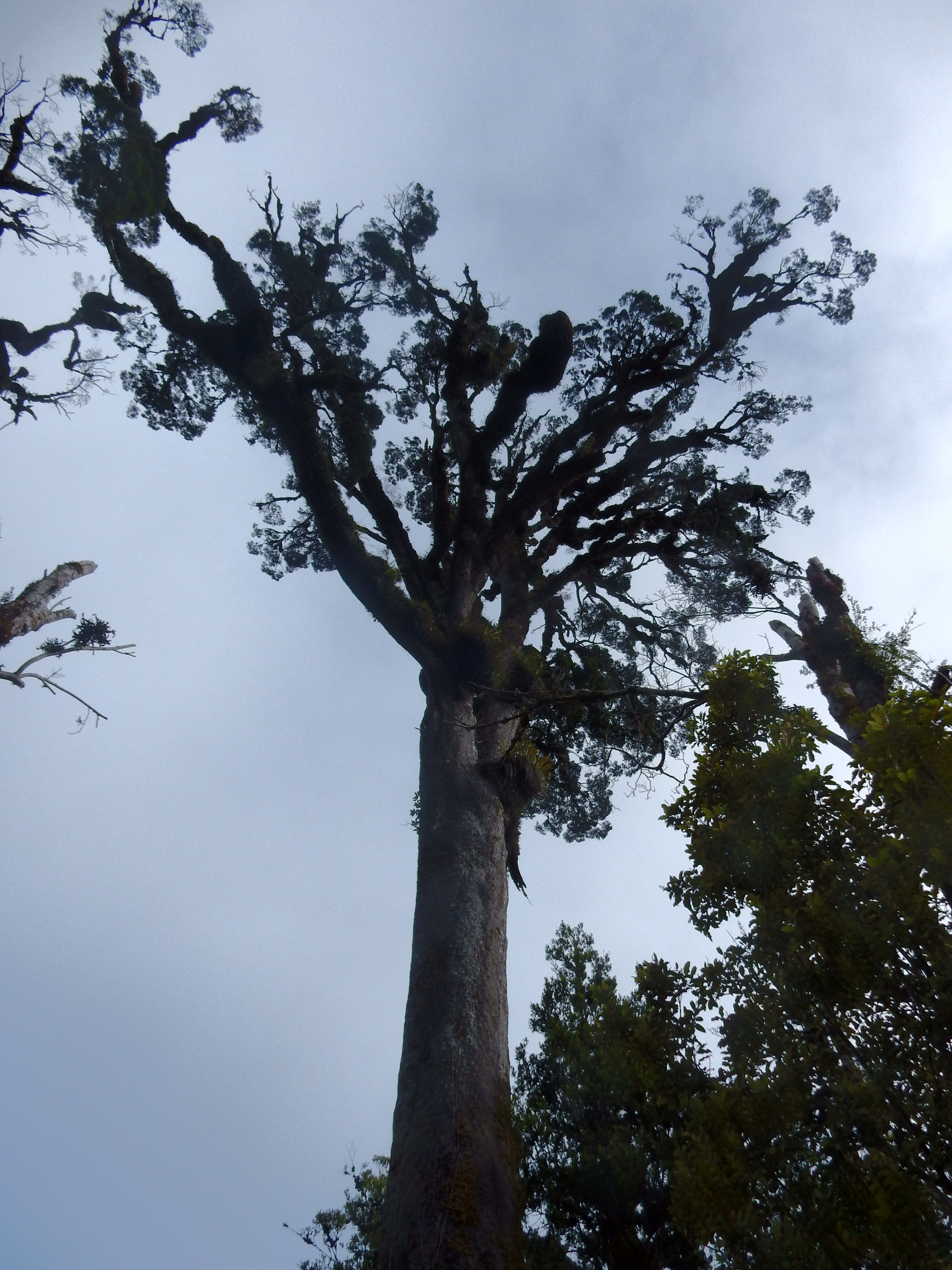
The Kahikatea are NZ’s tallest trees, they interlock their roots to keep them upright in the boggy conditions

Driving along the west coast of the South Island along the Tasman Sea

Picture taken at Knights Point

Upon arriving in Fox Glacier (west side of Mt Cook) we drove up South Glacier View Road and hiked to the Glacier Viewpoint.

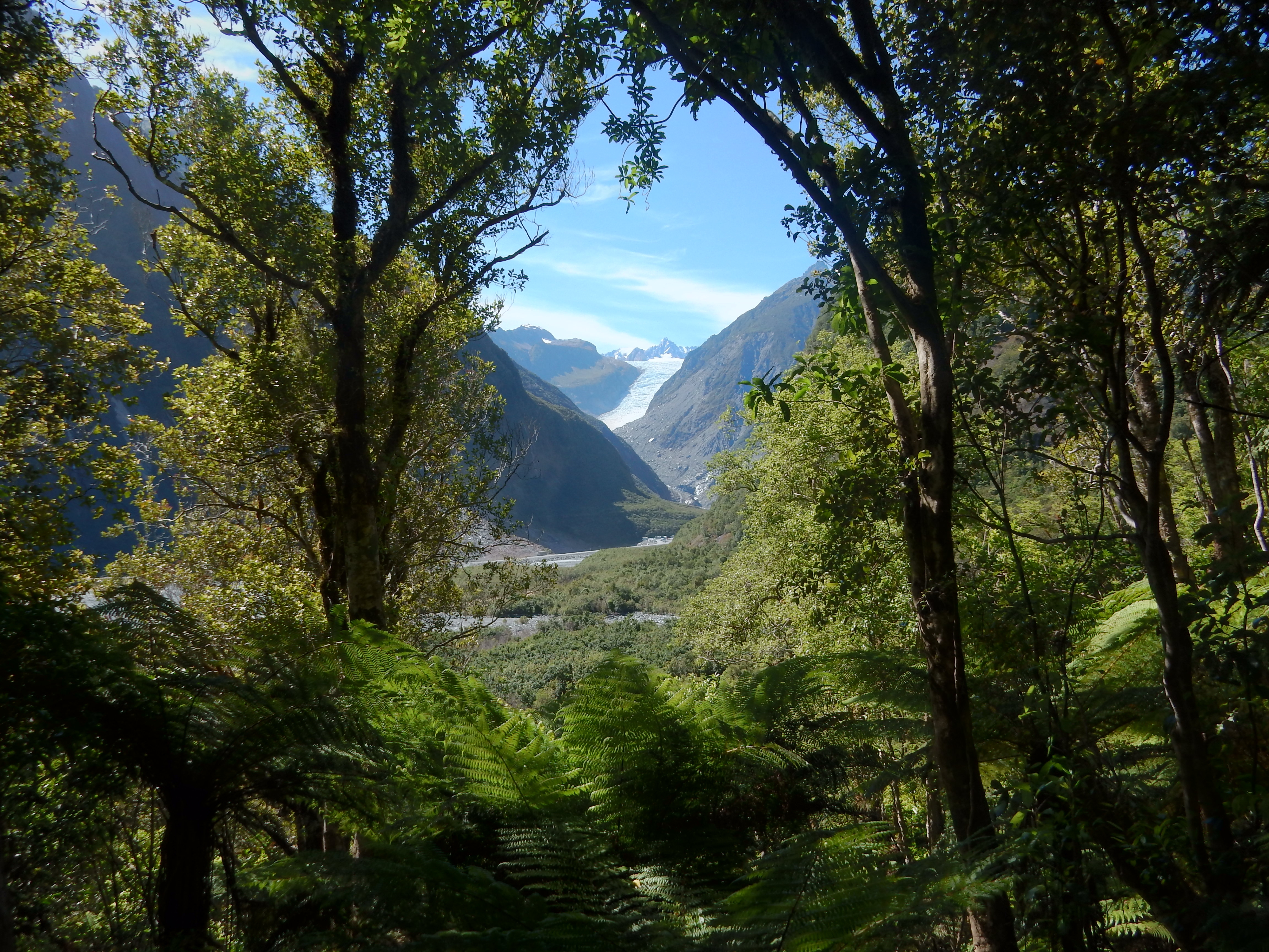
We then returned to Rt 6, crossed the Fox River and drove the Fox Glacier Access Rd to the parking lot
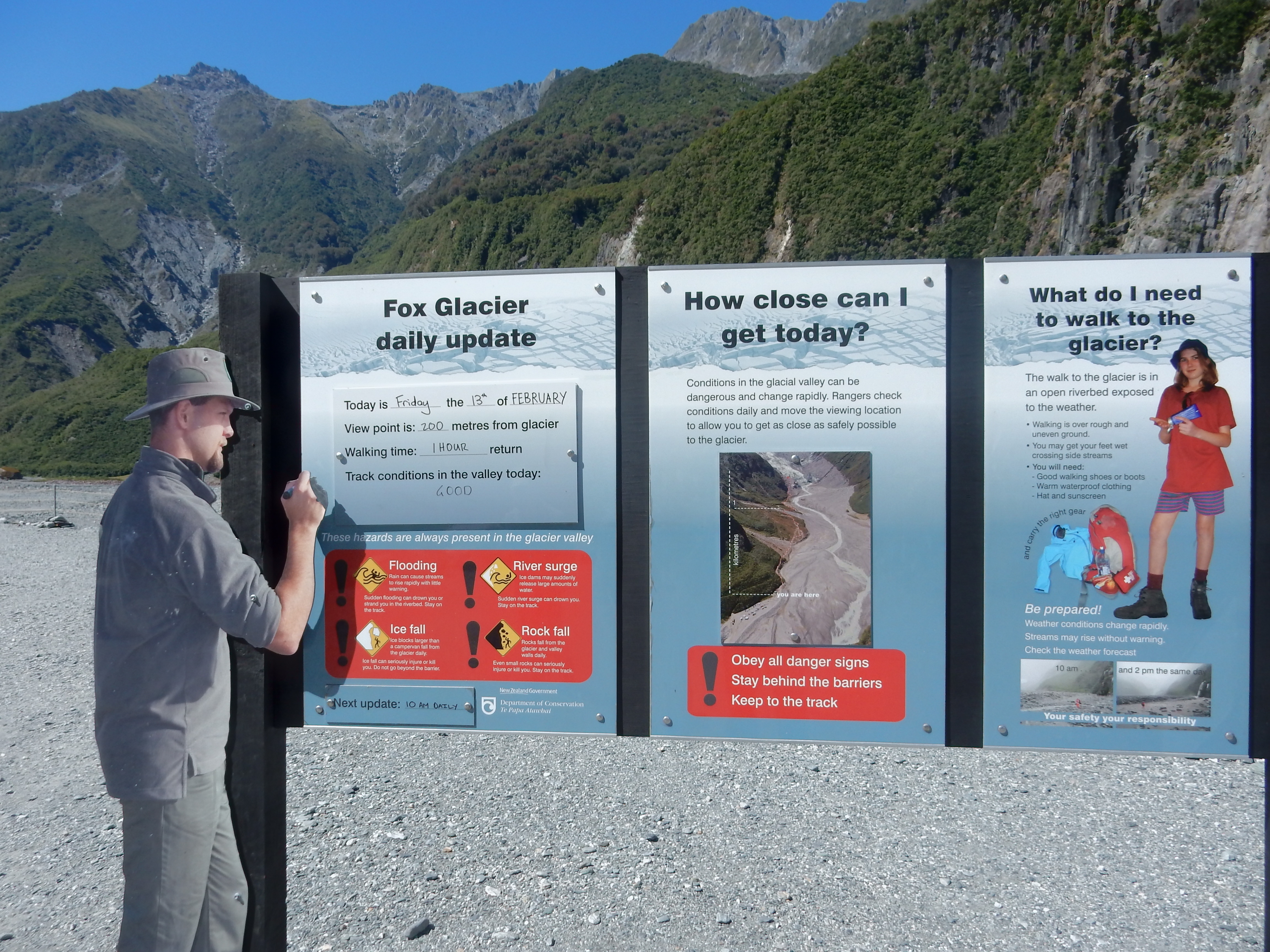
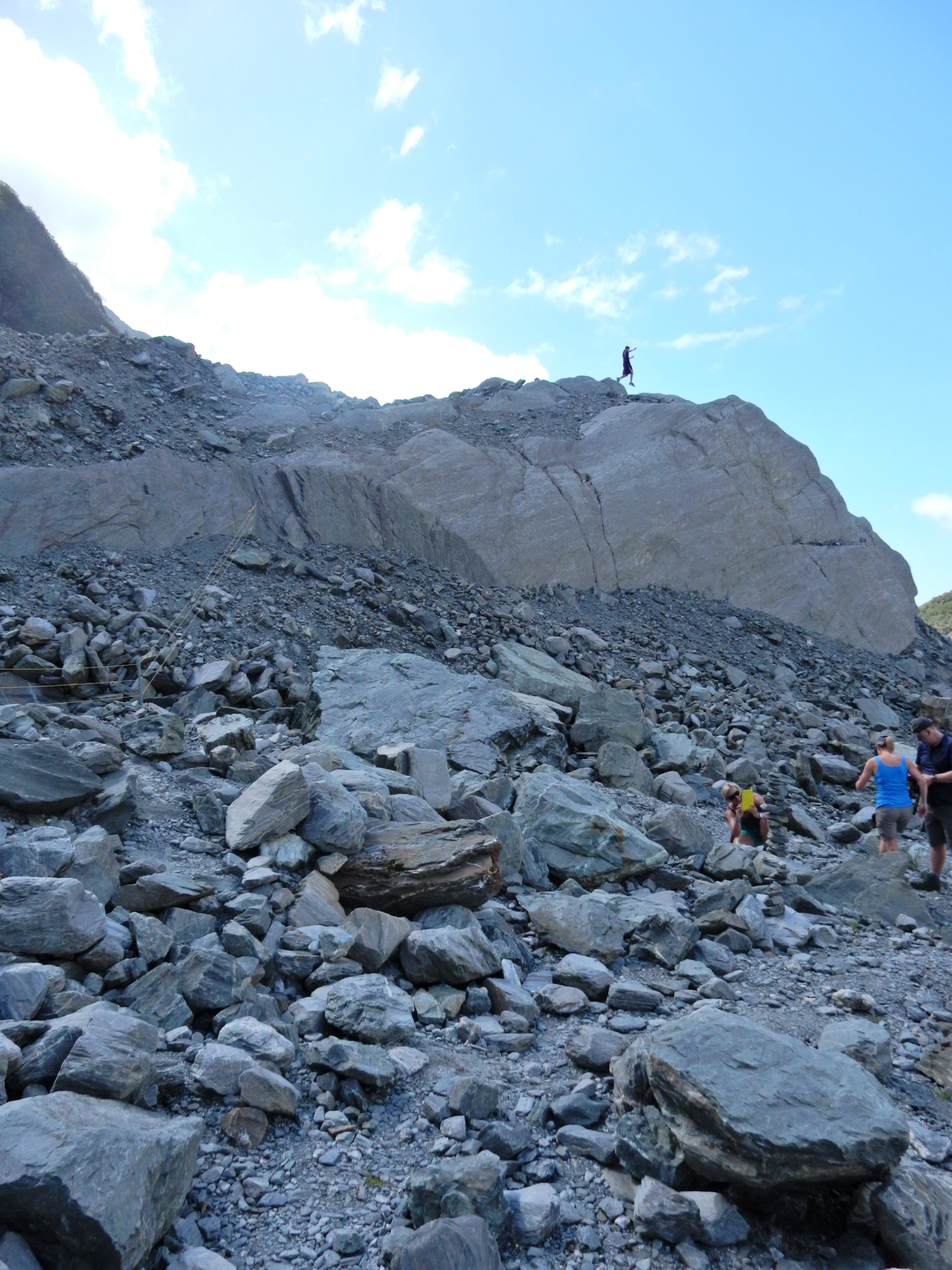
The hike was 1hr return with much up hill to the furthest view point

Lots of people here, with many taking helicopter rides and some landing up on the glacier
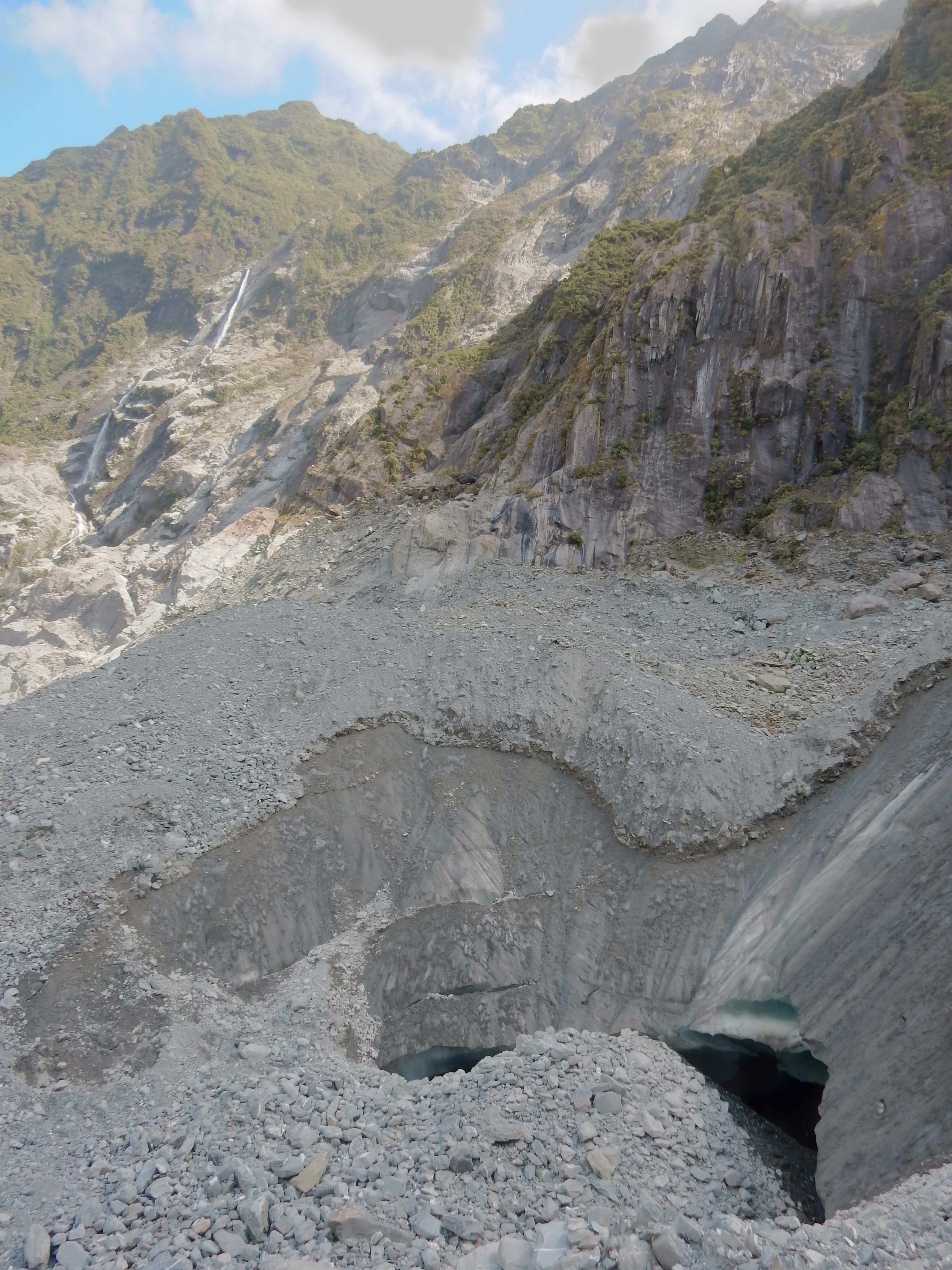
Toe of Fox Glacier
Start of Fox River

Formerly glacier now Fox River Valley
Built up a hardy appetite on the hikes and decided to have a large plate of mussels in town. We then drove toward the coast to get a view of the upper Fox Glacier

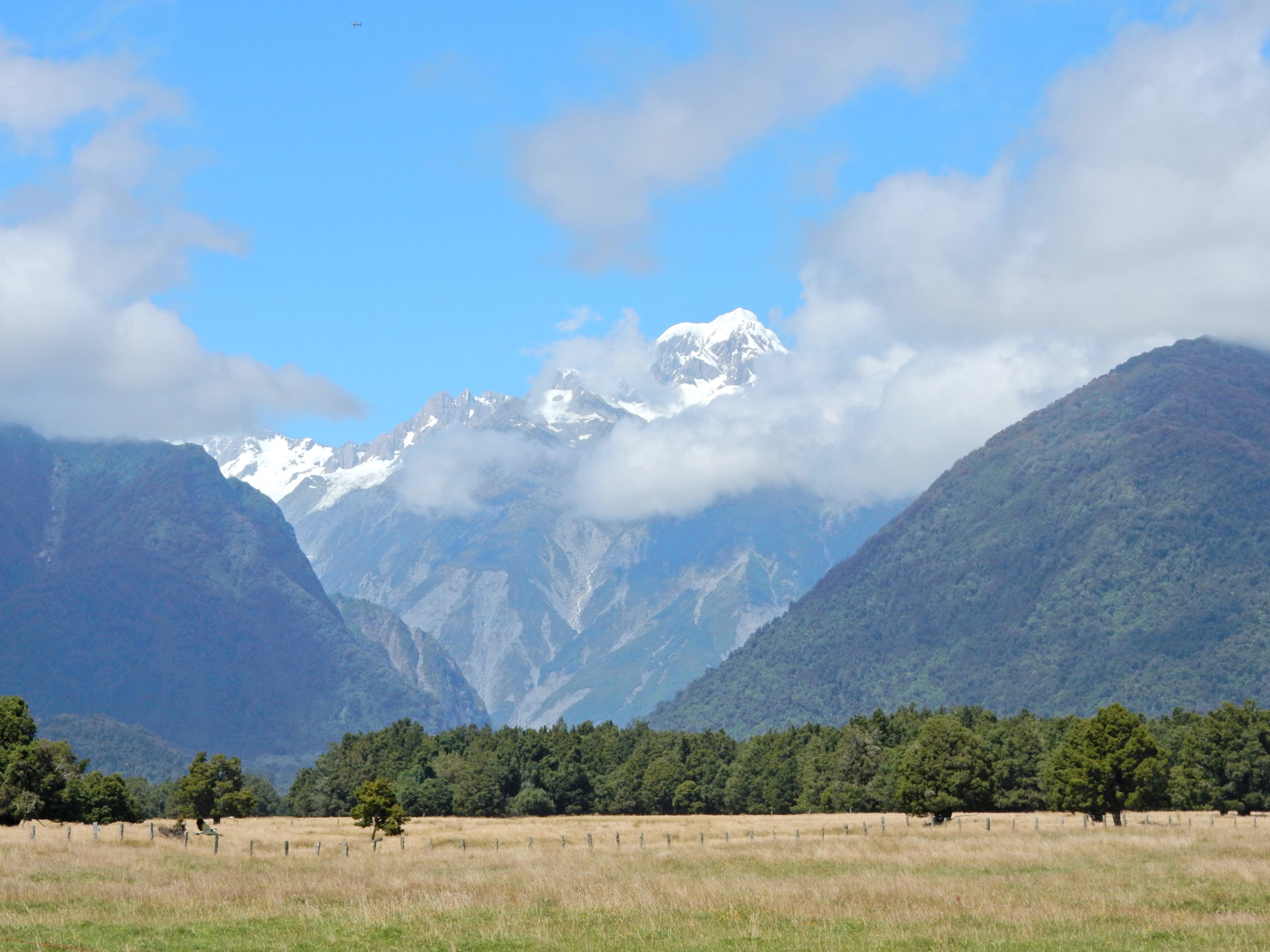
View of Mt Cook as we drove toward the entrance to Franz Josef Glacier
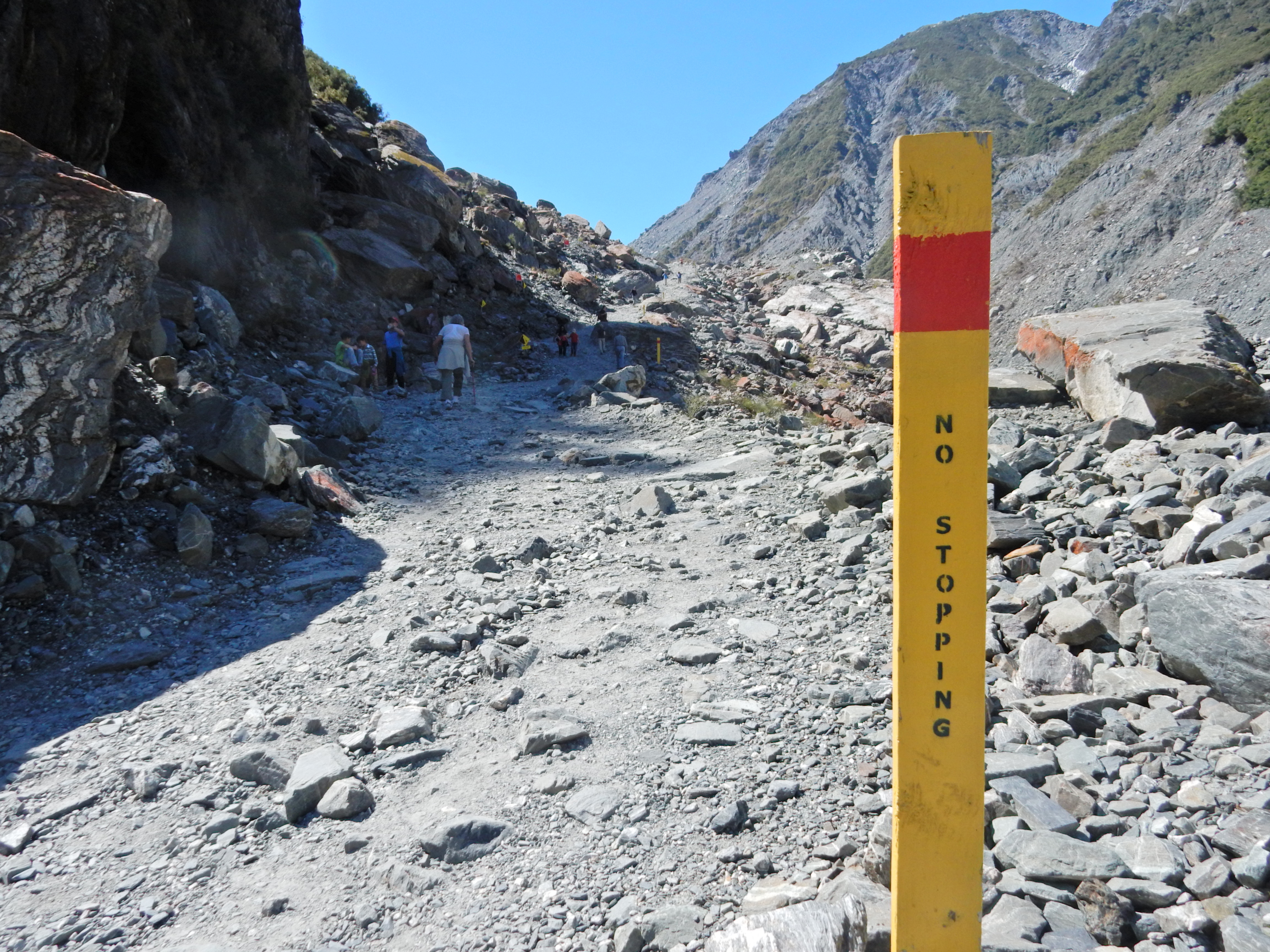
We did all three of these hikes

Started up the trail and decided to first do the hike up to a view point on Sentinel Rock. The glacier filled the entire valley in 1845 – see display at bottom of photo.
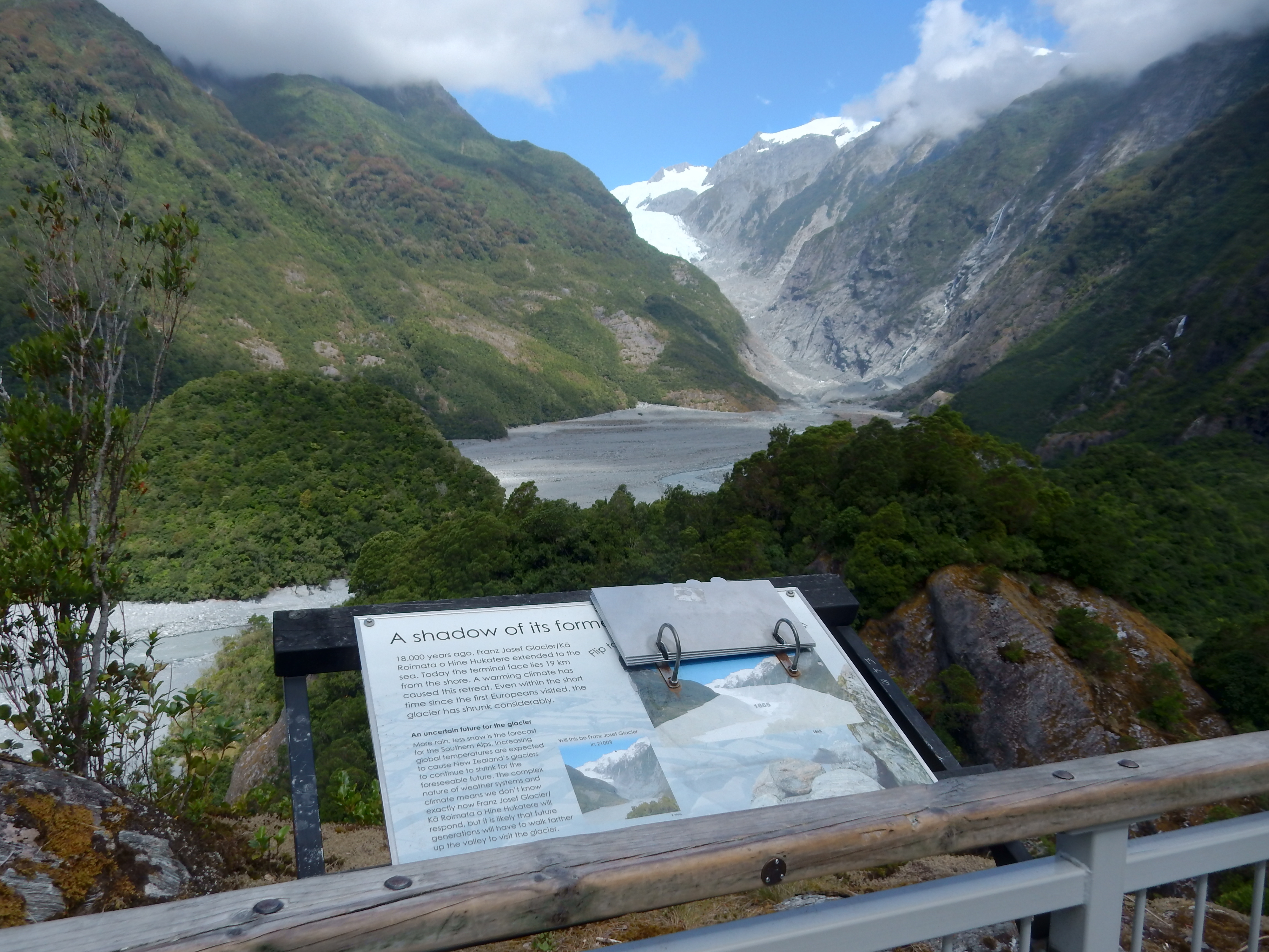
This is what it looked like in 1950, compare to today – previous photo

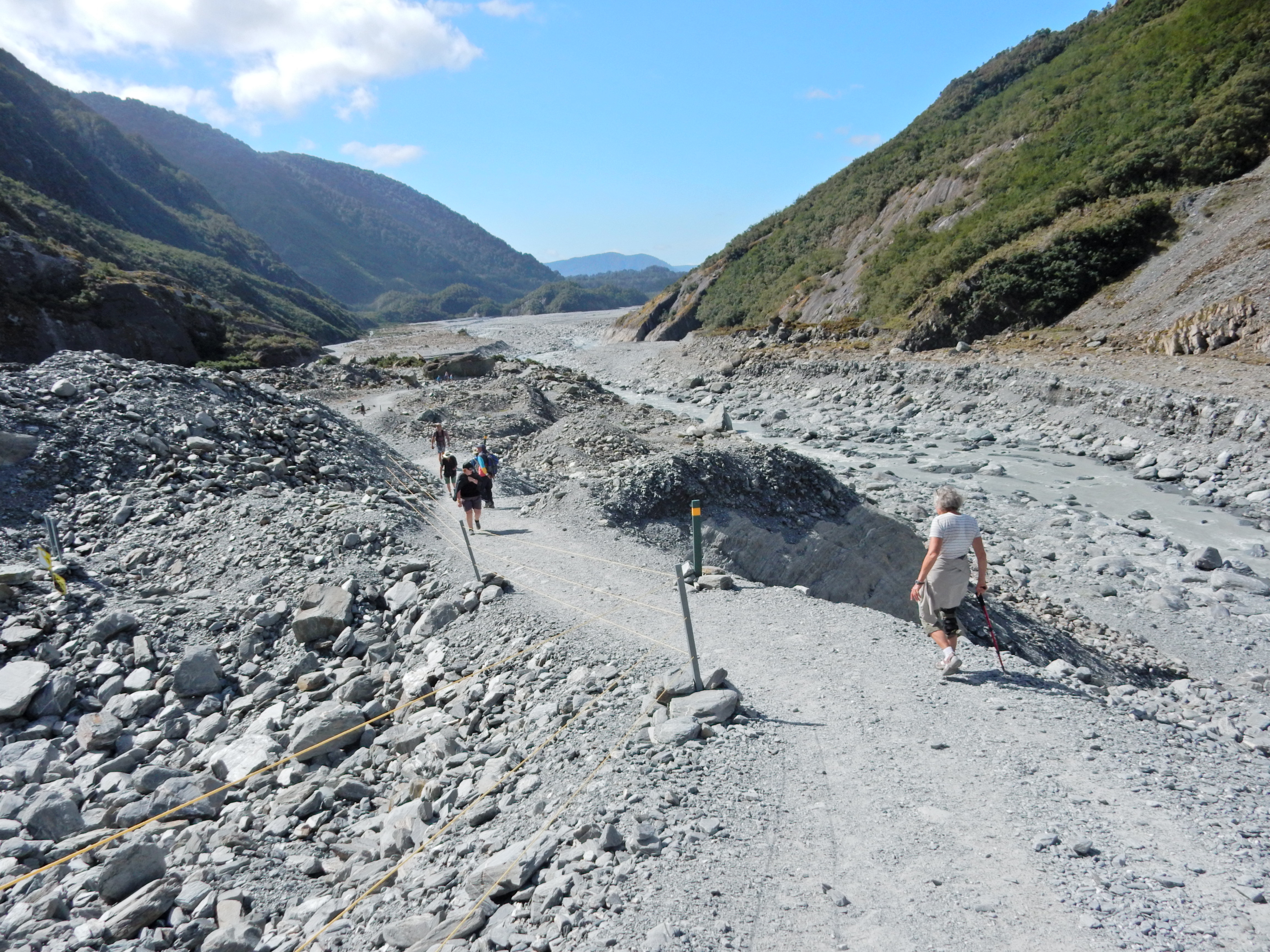
We continued on the trail, now called the Forest Walk to Glacier View (30 min return). At that point, the trail continues on the riverbed for an additional 1.5 hrs return.
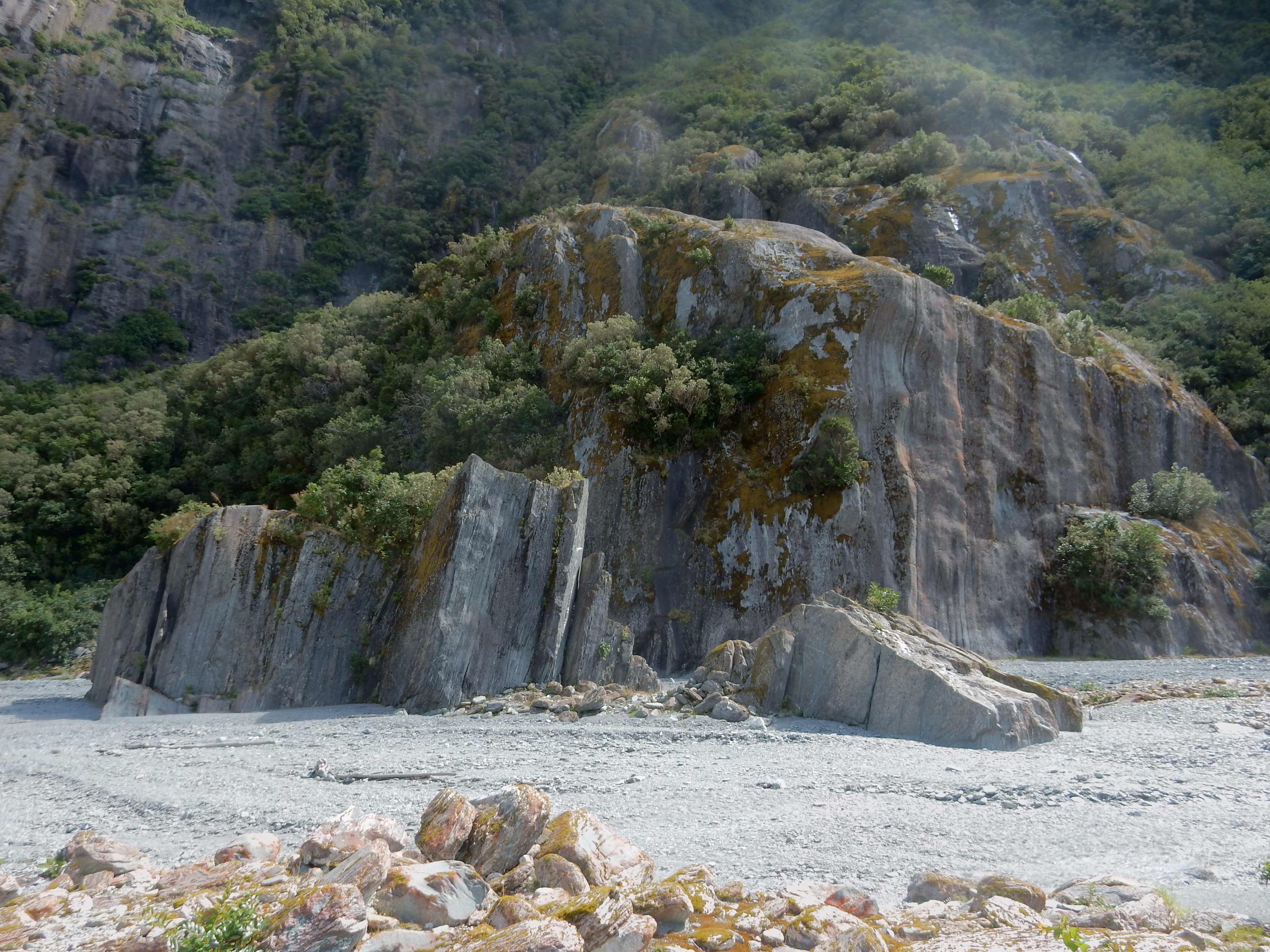
It is relatively flat for the first 30 min until you get to Trident Falls.
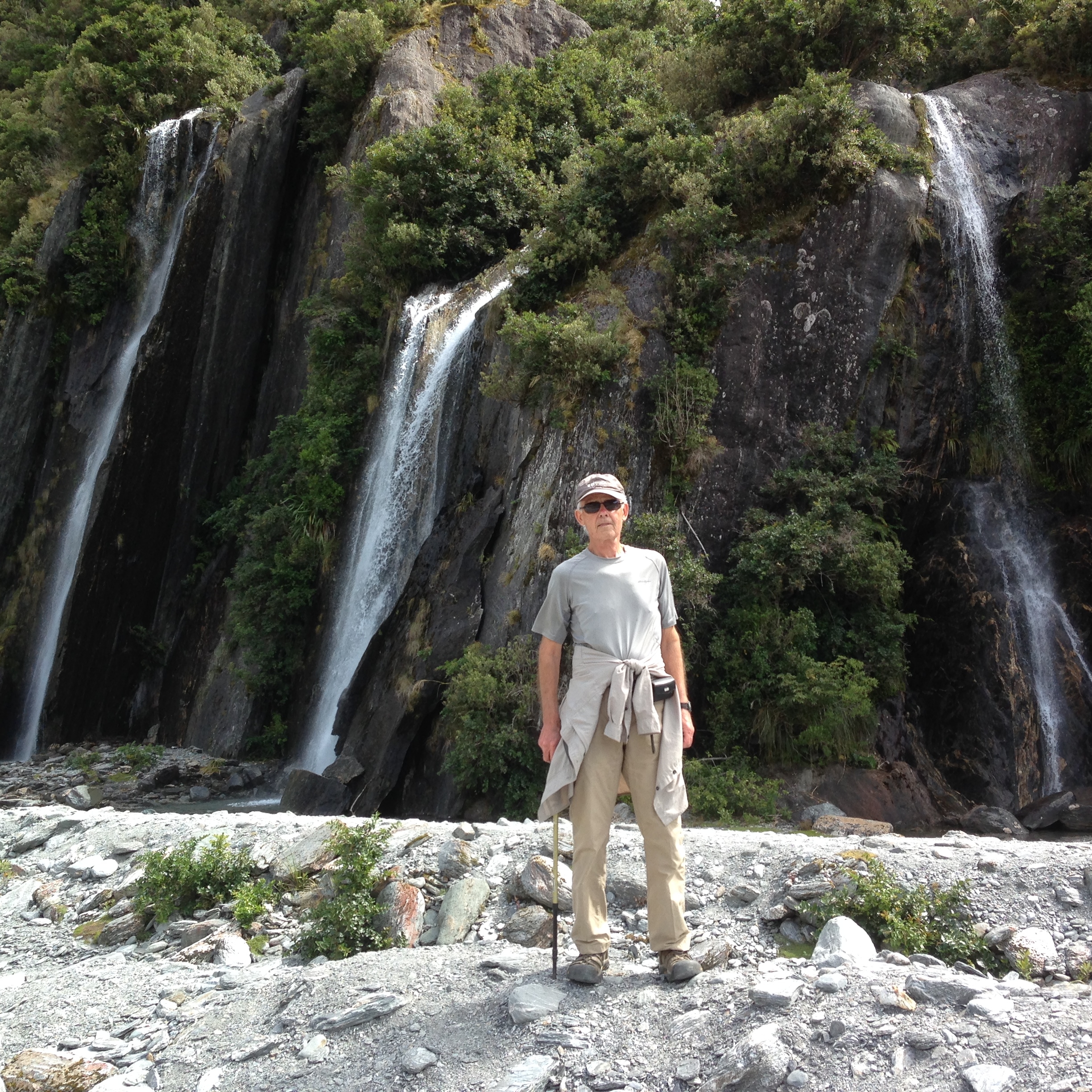
Heading up –

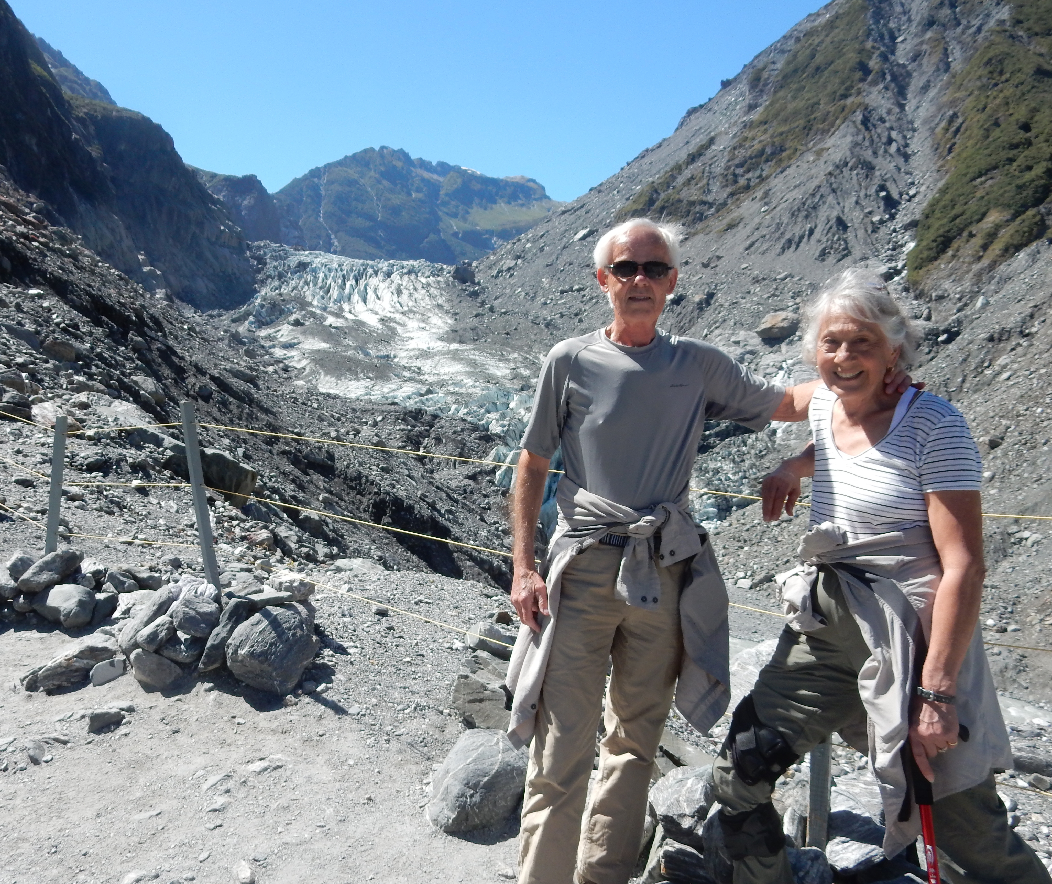
Like Fox Glacier – lots of tourists
High Five with display ranger – we made it!

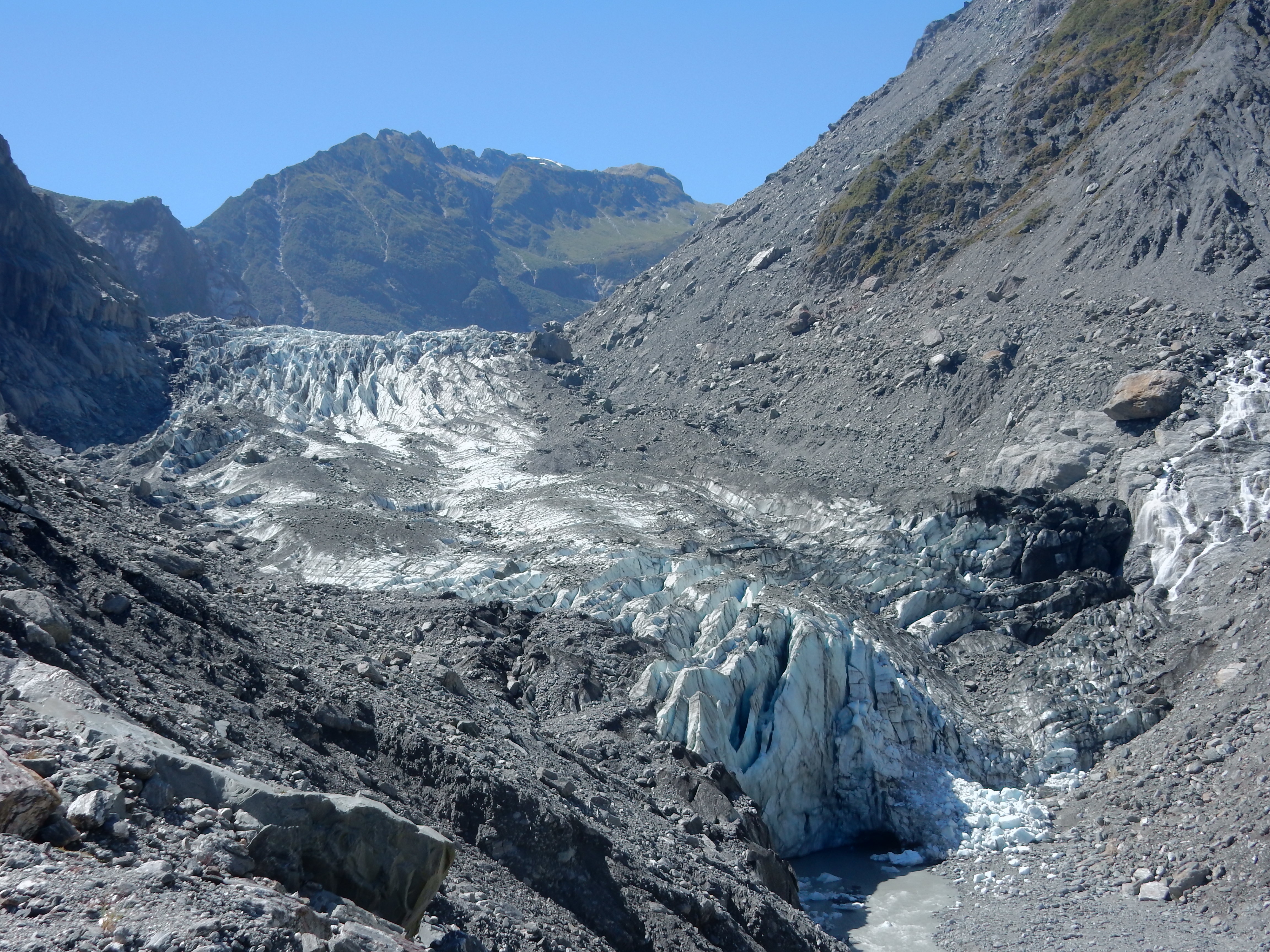
Remnant of glacier covered in scree – see blue of ice (cave)
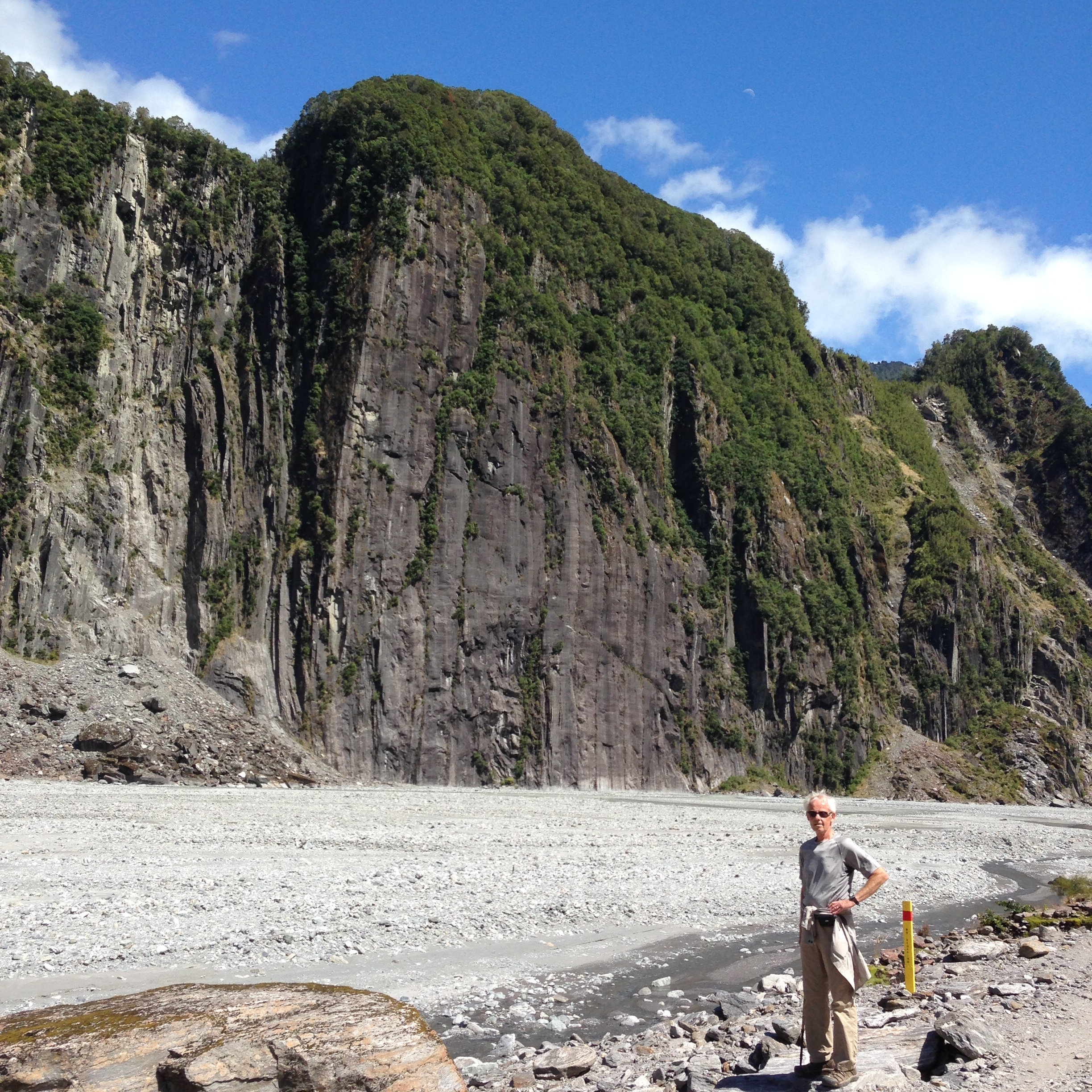
Hiking back down the valley

Ice cubes anyone?

When we returned to the car, Helen continued working on her stitching while I did an additional 25 min return trail to Peters Pool for a great view up the valley to the glacier.

We stopped at the Visitor Center in Franz Josef for park information as well as a nice pamphlet on the water trail we did the next day in Okarito. I guess we did see penguins –
Arrived in Okarito about 7pm – Okarito Wharf

Then checked into a “Hutel” (small house) at the Okarito Beach House
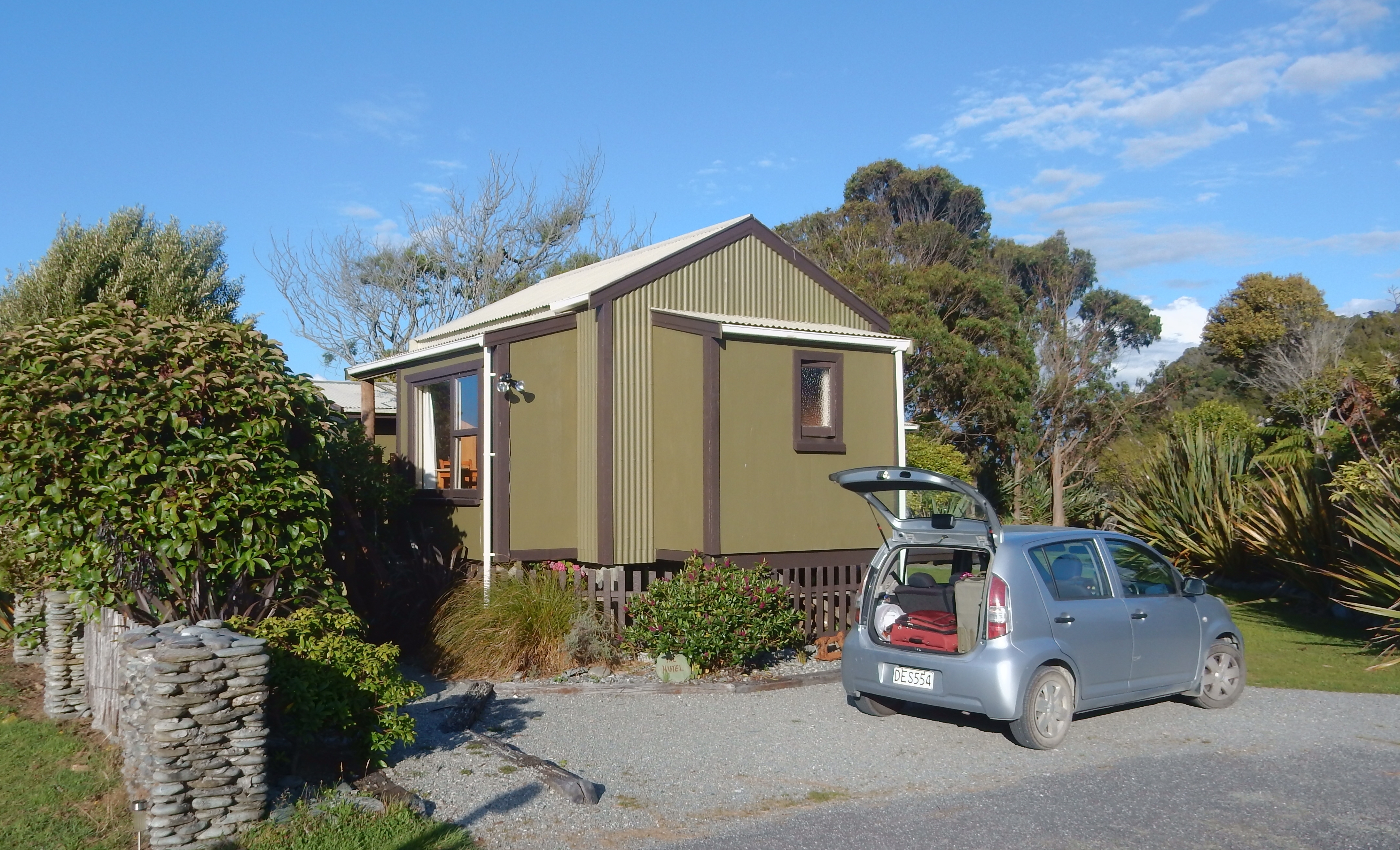
No stores or restaurants here – Mac & Cheese and a beer for dinner!
2/14 – Valentine’s Day – we started the day with a two hour kayak paddle on Okarito Lagoon. The water trails here were the first ones in NZ. Helen and I paddled singles and three other couples had doubles. We were not a group, we each did our own thing. Our paddle was in the Mataitai Reserve.
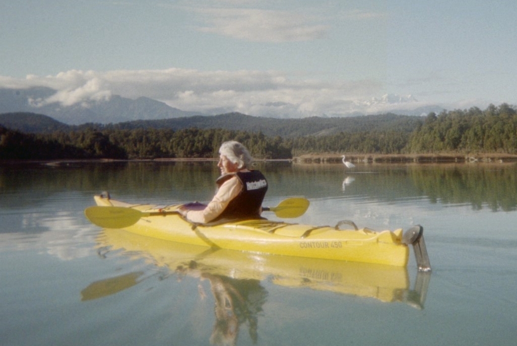
I only took three pictures because that was all I had left on my disposable water camera, hence the poor quality of these photos. We saw a good number of birds but would have liked to see more.

We paddled up the Okarito Lagoon following markers and then up Tidal Creek to a small pool. A couple of other kayaks were there about the same time and while I continued up the creek until it became too shallow, Helen decided to follow one of the kayaks back thinking I had already started my return. Long story short, according to Helen I left her again and she was upset. When I got back to the Lagoon, I saw Helen some distance out and thought she saw me. As a result, I decided to take a more difficult route back following the shore. I did have to get out a pull my kayak through a couple of places but it was great fun.

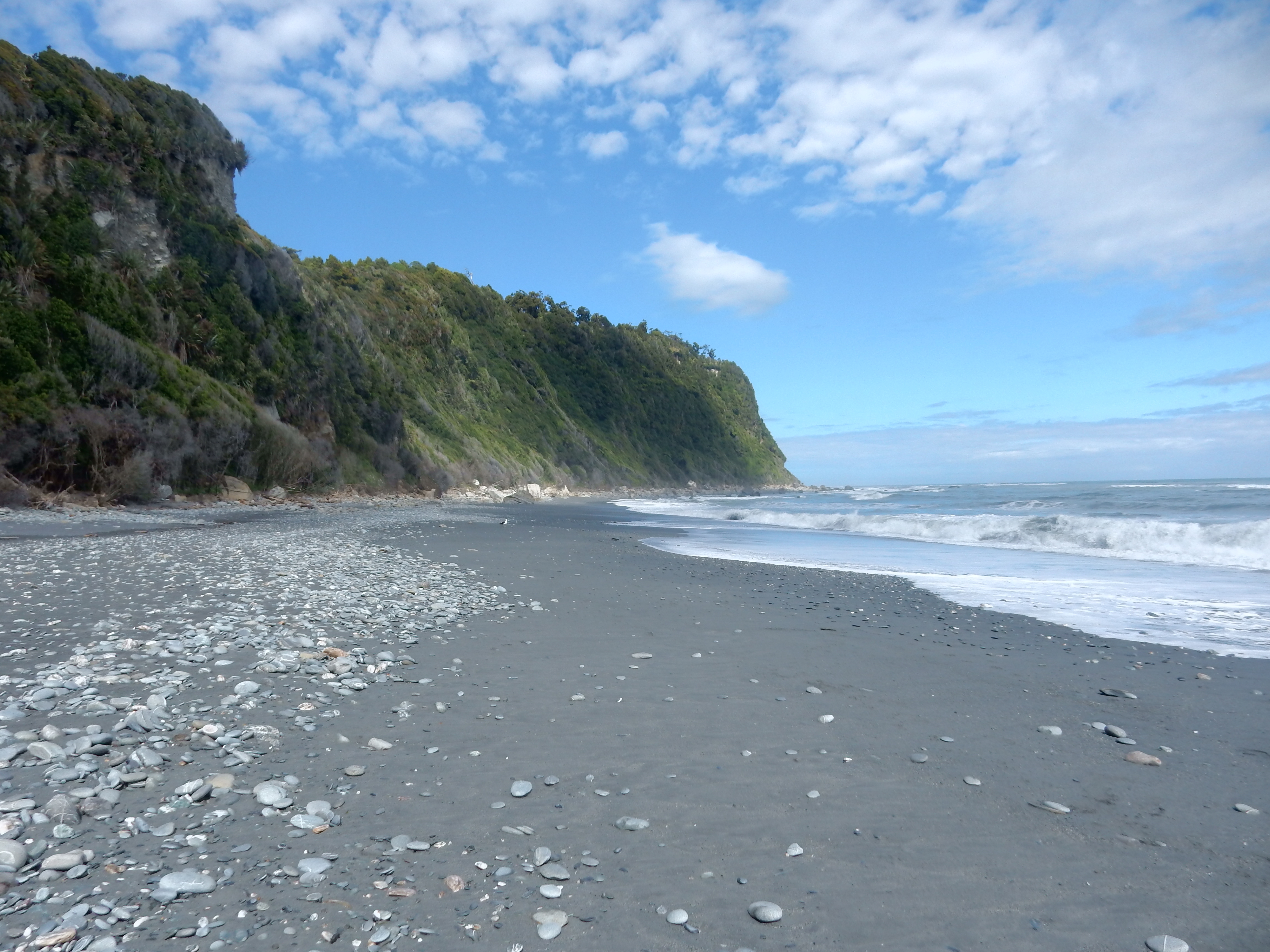
Upon return, Helen decided that she was not interested in doing any hiking. So, she stayed behind, did laundry and socialized with Laura who runs the Beach House. I started out at 11:45 for the Okarito Coastal Walk and Three Mile Pack Track loop. You need to do the Coastal Walk within 2 hours of low tide.

Low tide was at 1:40
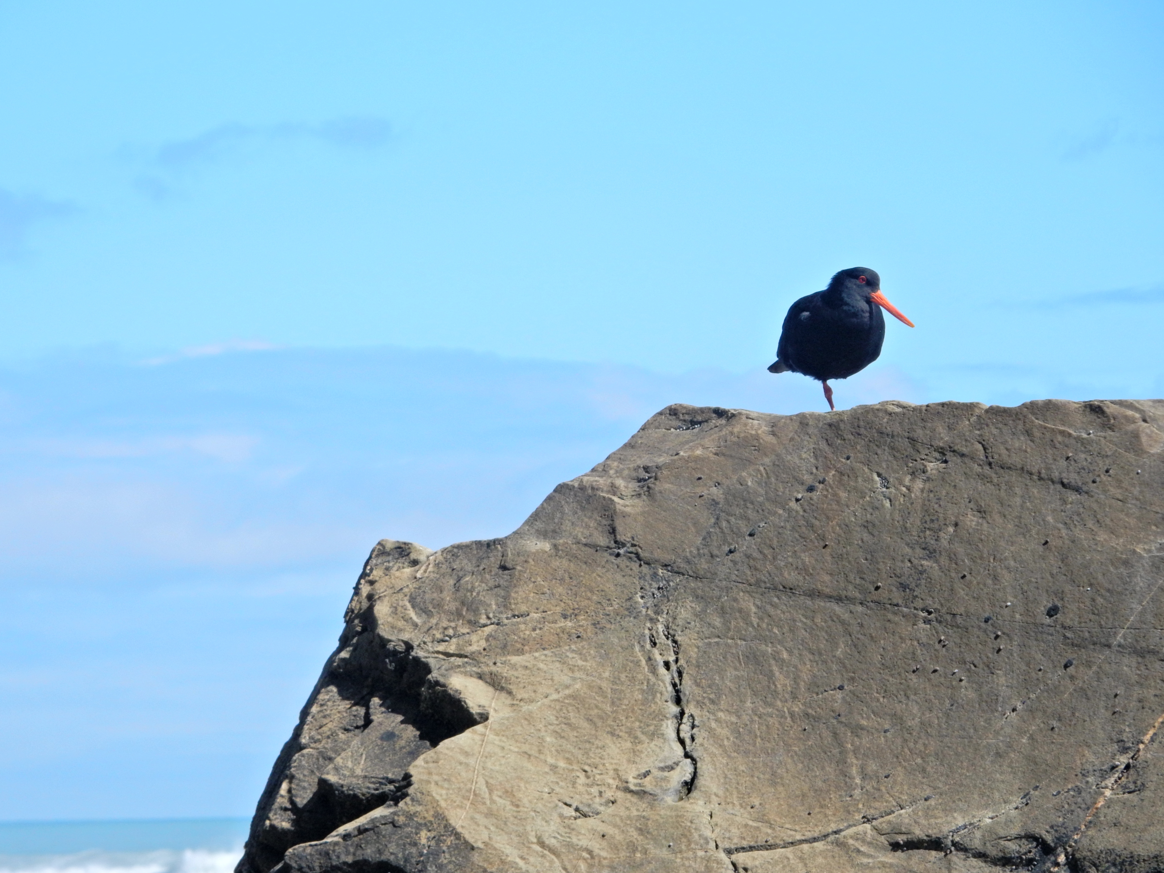
Some birds along the way –

I believe this is an Oystercatcher/Torea
There were only four or five spots where I needed to move higher on the rocks to avoid getting wet

The coast off this point is in the Waiau Glacier Coast Marine Reserve

I met one hiking group of three coming the other way and asked one of them to take my picture.

The loop is advertised as 3.5 hrs return with a length of 9.8 km (about 6 miles)

It was a lovely walk and I reached Three Mile Lagoon and the suspension bridge at 1:15

After some snacks, water and cleaning the sand out of my socks and shoes I was off on the Three Mile Pack Track.

This is actually the road that was used in the late 1800’s to move goods from the port of Okarito to points south. I only met two couples on this part of the hike. There was a lot of up and down without any good views of the beach/rocks. If I were to do this again, I would go both ways on the beach.
Picture of a cool dragon fly –

Toward the end of the Three Mile Pack Track I also did the Okarito Trig Walk (extra 40 min return) to a great view north toward the Okarito Lagoon
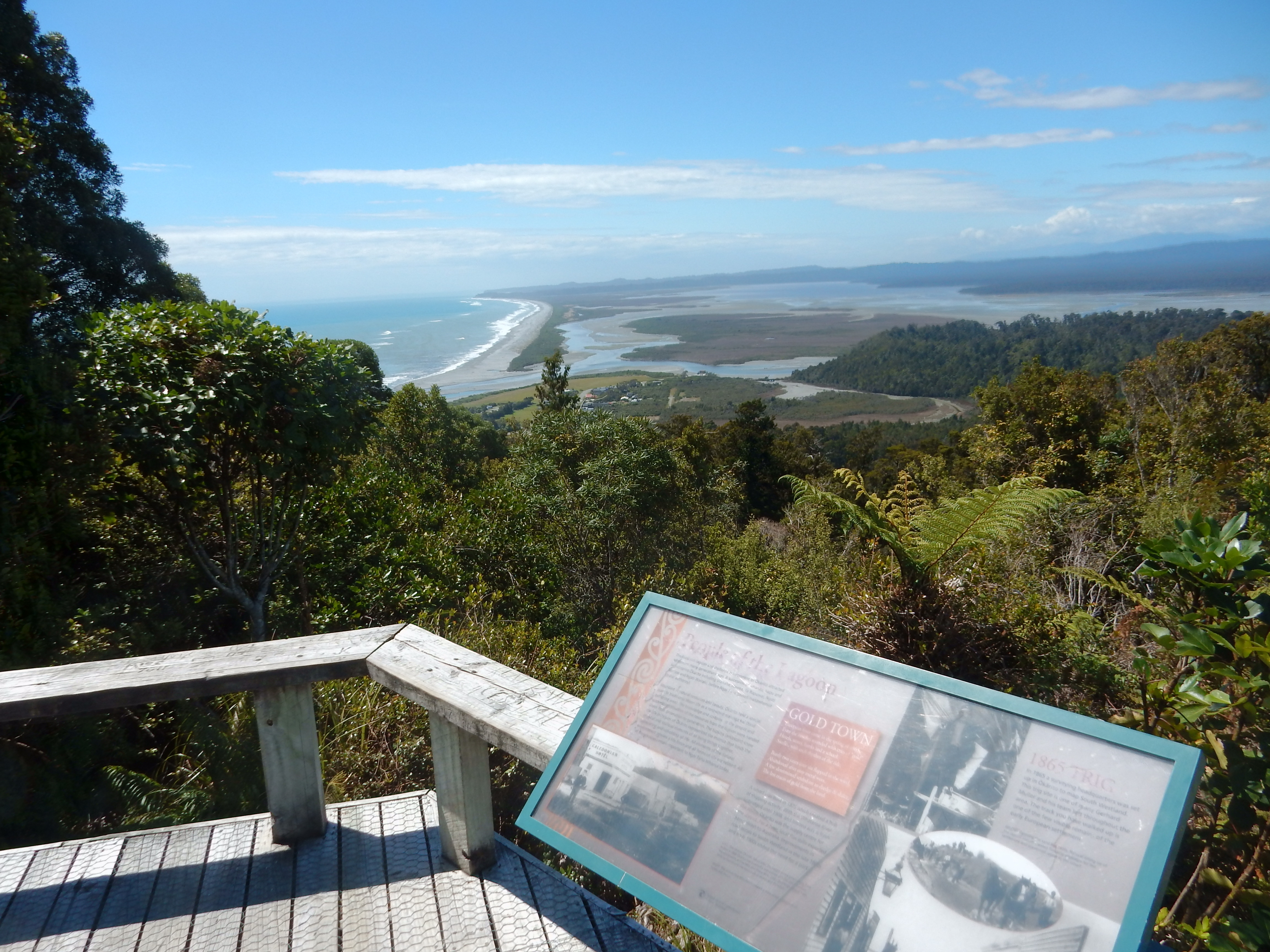
East toward the Southern Alps, unfortunately the tops of the mountains were clouded in

South toward Three Mile Lagoon

While walking back through Okarito, I took a few pictures of interesting buildings


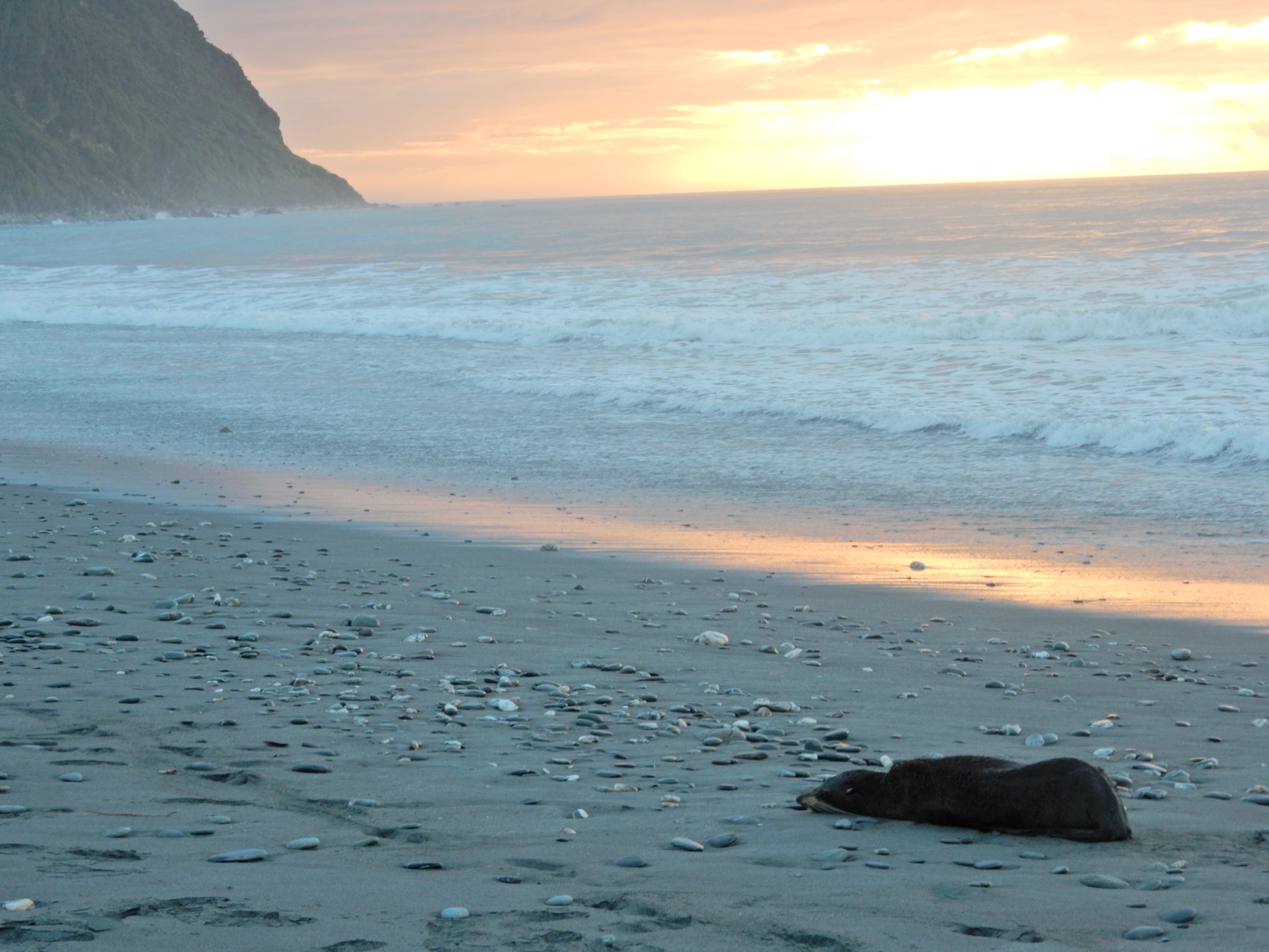
After returning to the Hutel, I showered and then Helen and I did the Pakihi Walk (30 min return), which takes you to a good view of the Okarito Lagoon. I had canned spaghetti and Helen had the equivalent of Rice-a-Roni for dinner – not very exciting for Valentine’s Day. We decided we would have a good dinner the next day! Walked the beach after dinner and discovered an injured fur seal – we were sad we had no way of helping it, though Helen did have a local notify the DOC (Department of Conservation). The DOC is New Zealand’s equivalent of our Department of the Interior.

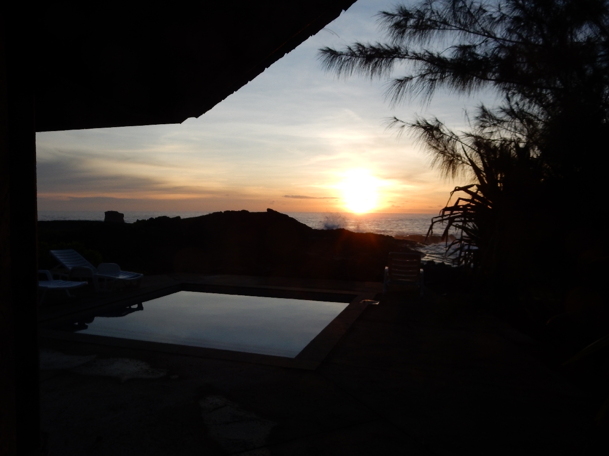
There was a beautiful sunset –


2/15 – I took an early morning walk on the beach to check out the seal. The mountain tops were visible to the east

The fur seal had moved during the night and was still alive – hope he made it

Driving North on Rt 6

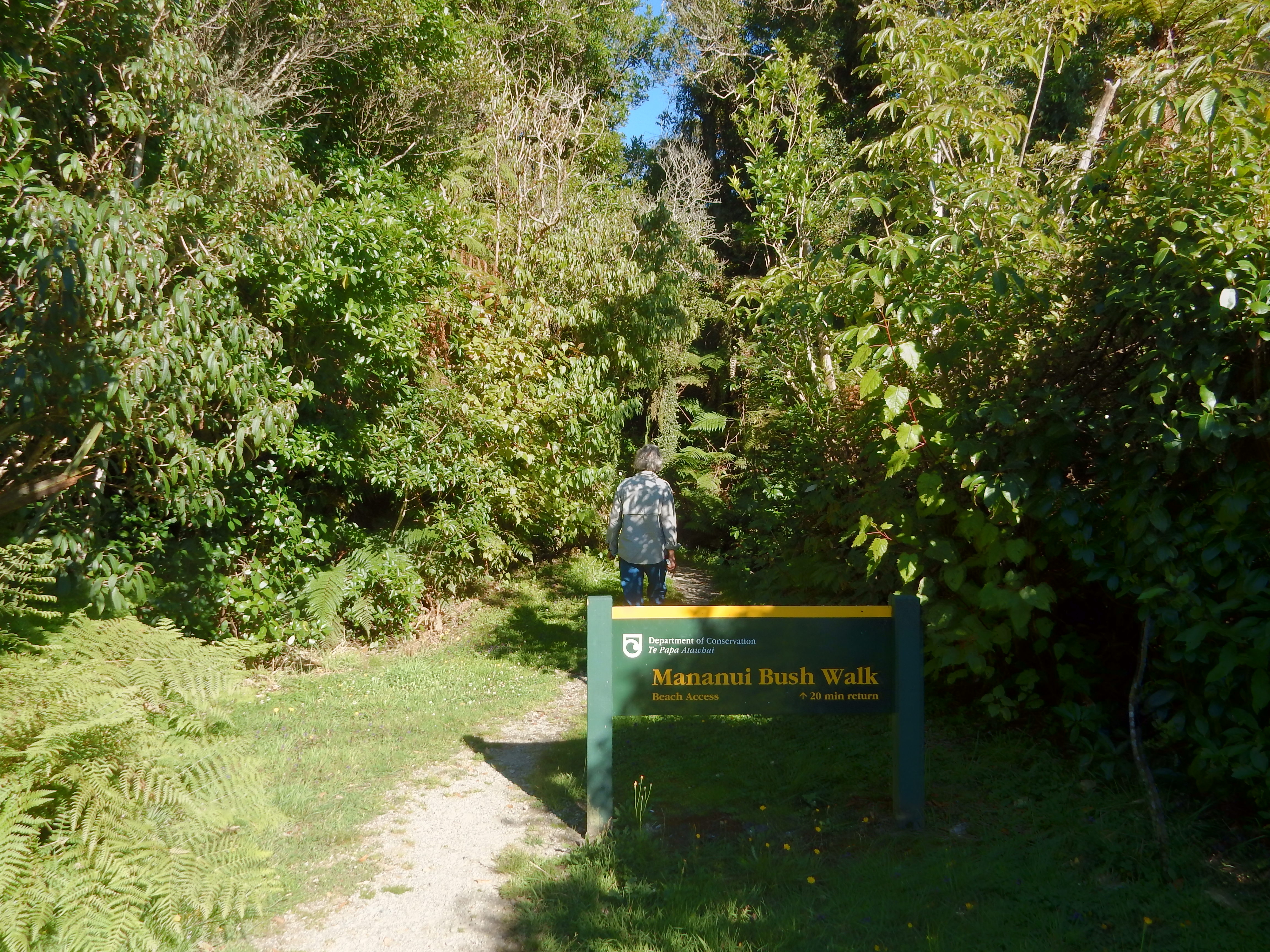
Stopped to do the Mananui Bush Walk 9km south of Hokitika
Trail passed through coastal forest – downed tree root ball

Fungus among us

To a beach with plenty of sand flies

The next stop was a Flea Market in Greymouth where Helen purchased a watercolor painting of a sailing ship and a shell/driftwood mobile for Sue

Views along our coast drive north of Greymouth

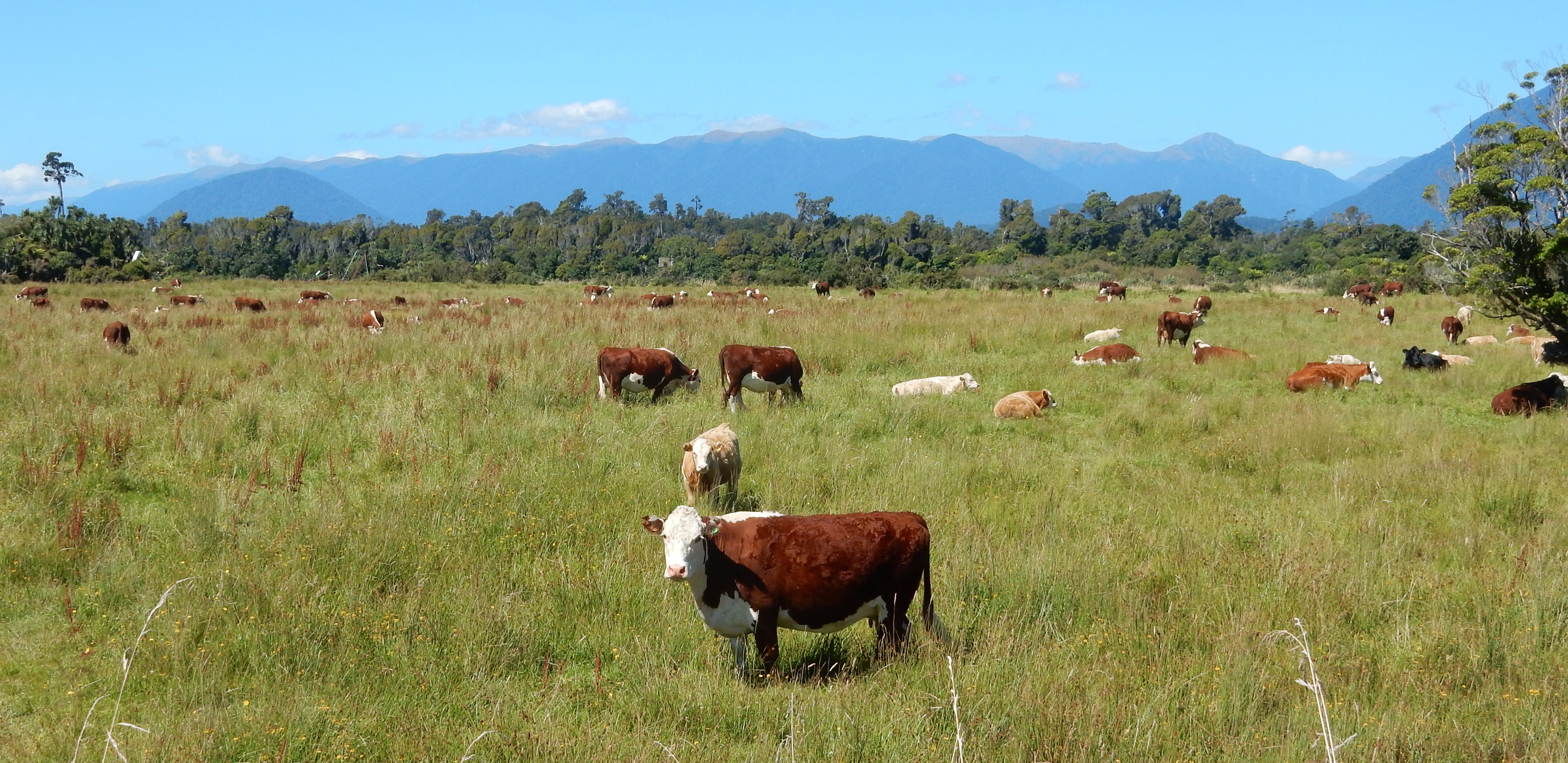
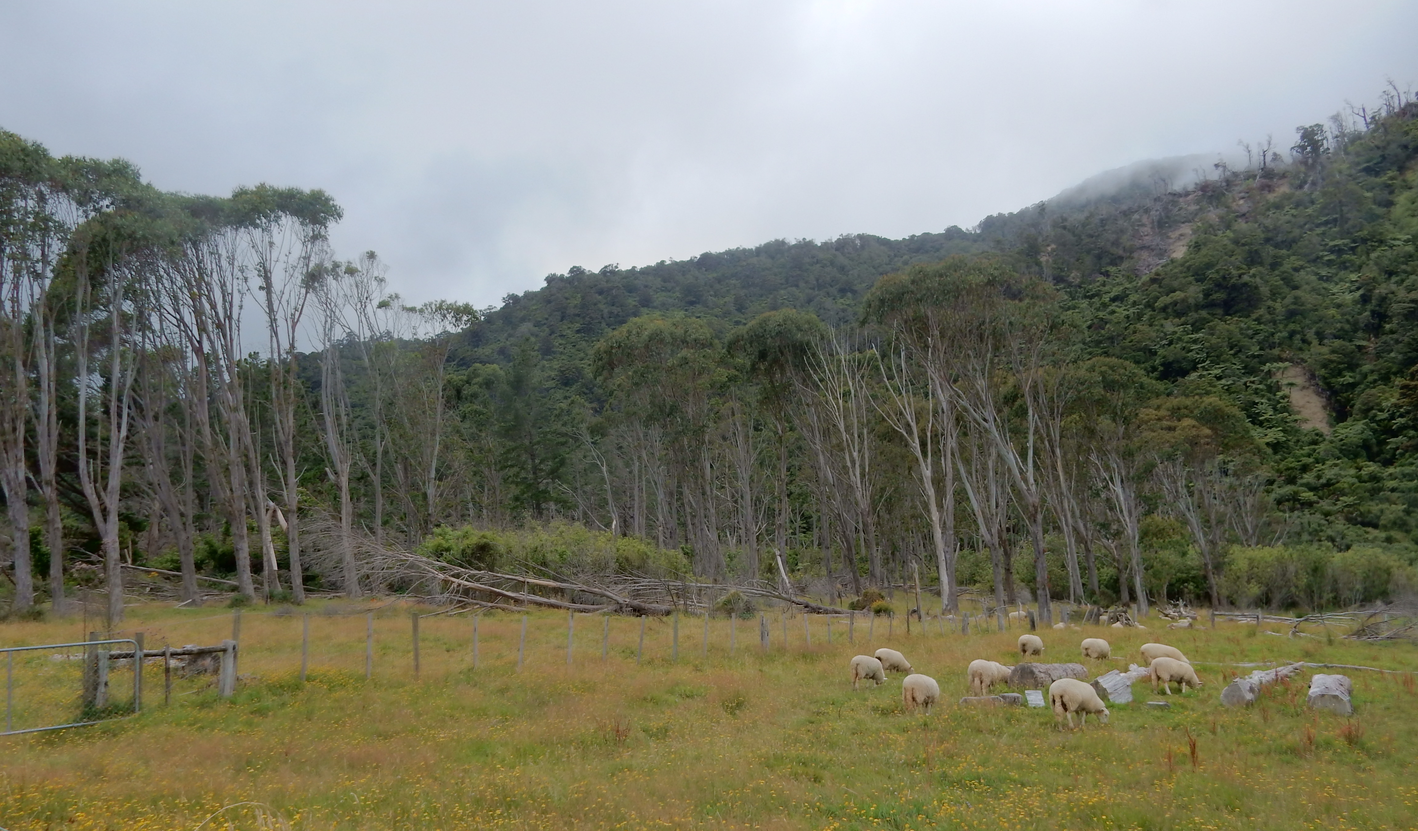
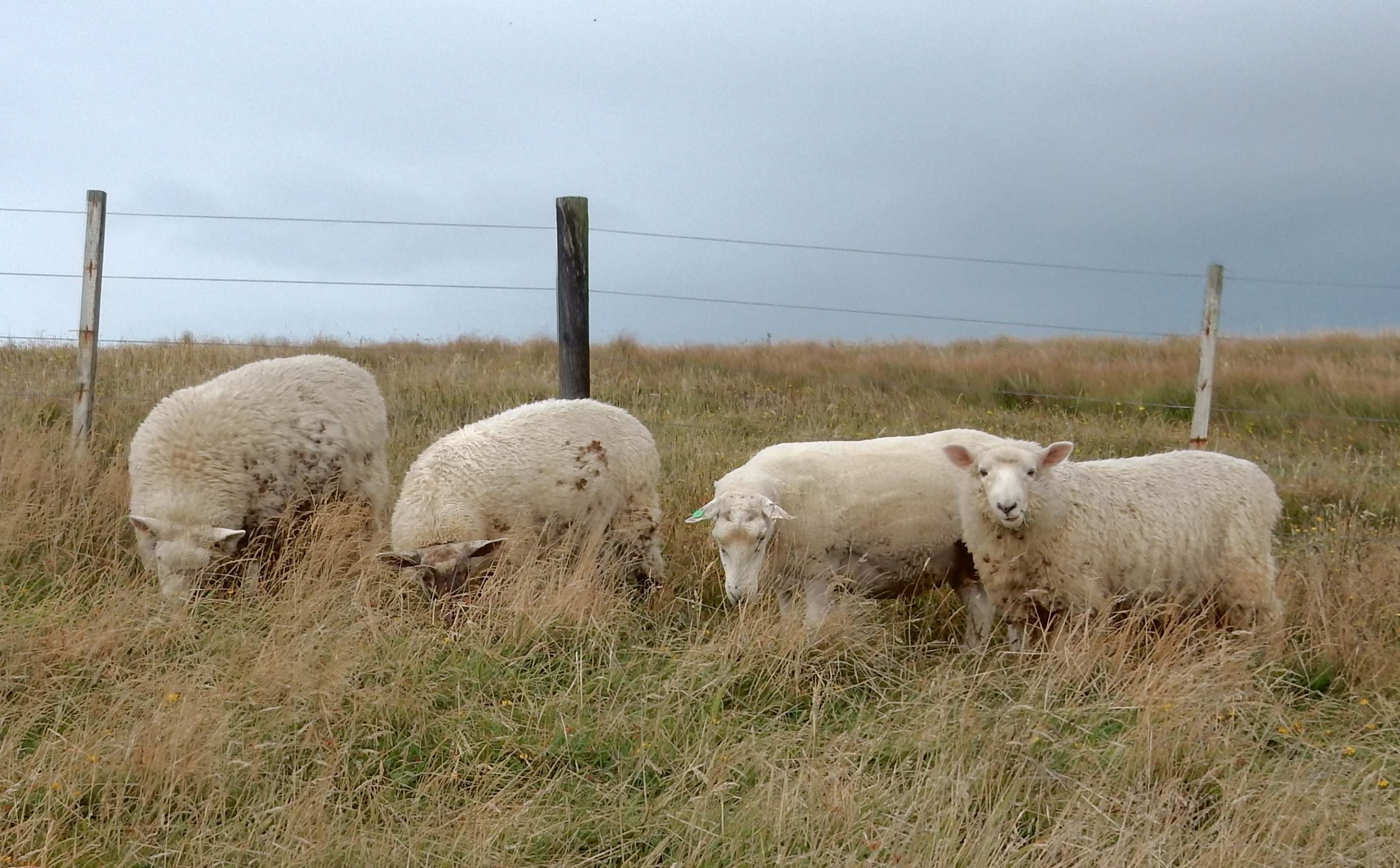
Pastoral scene with ever present sheep
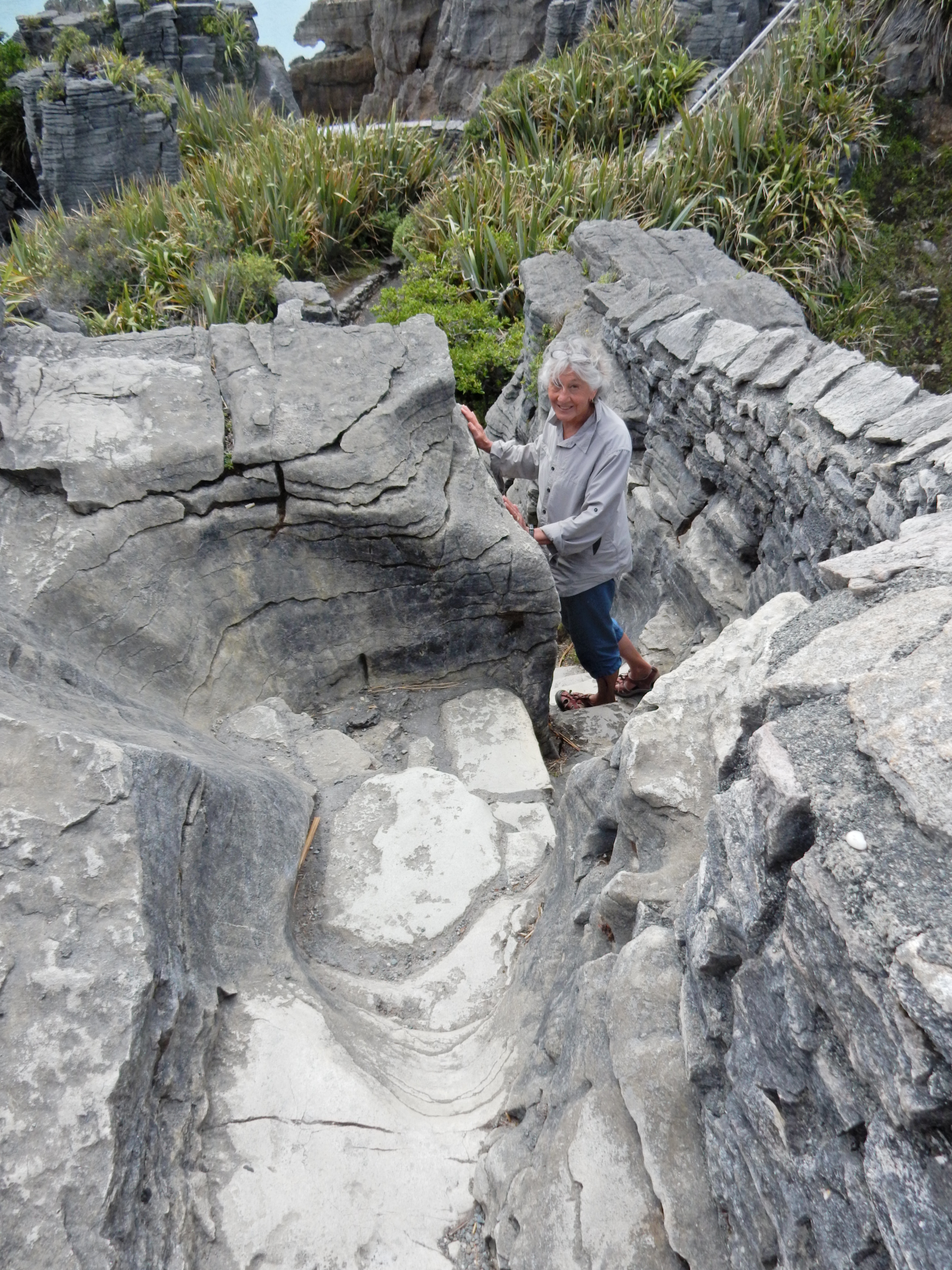
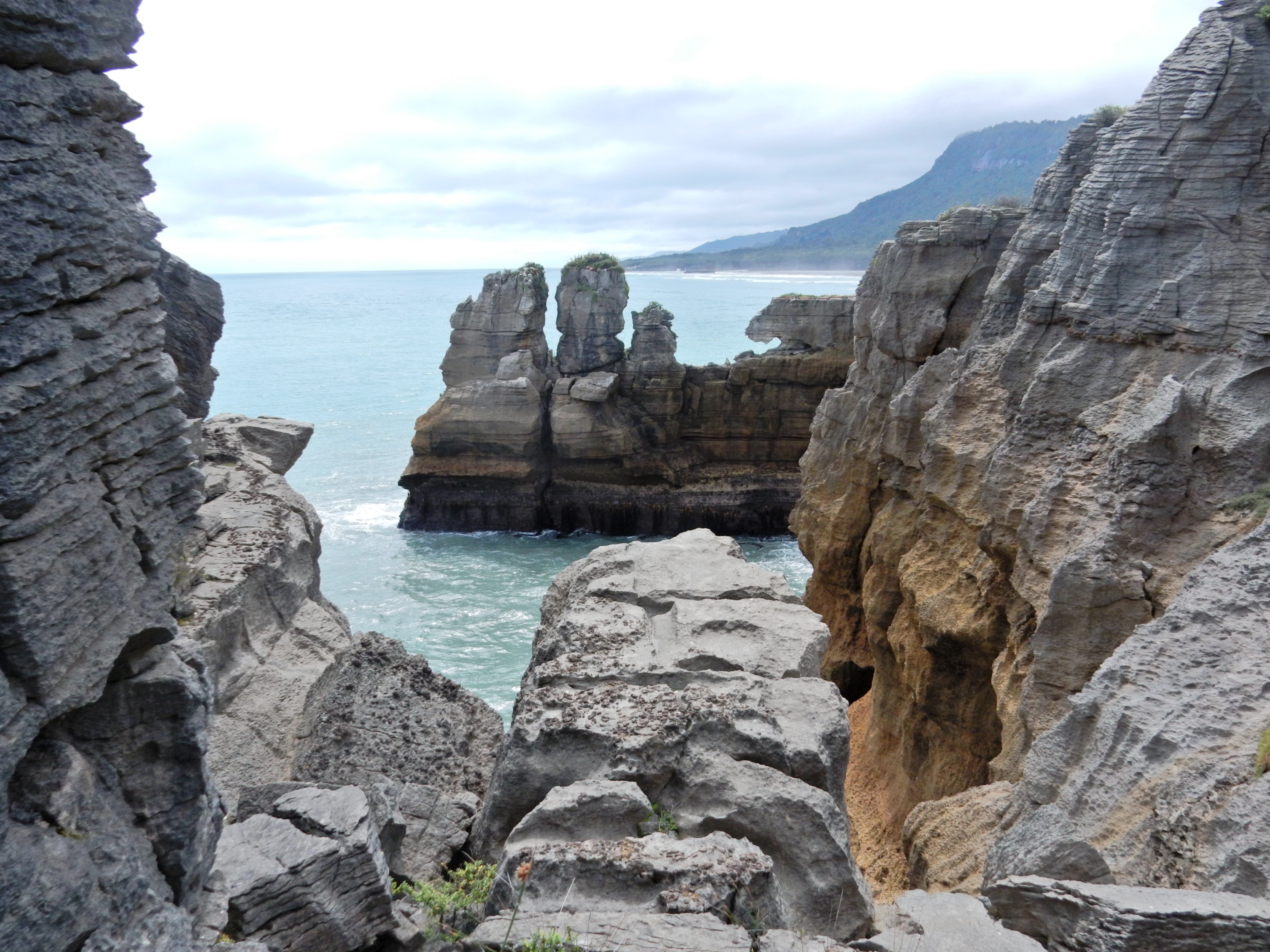
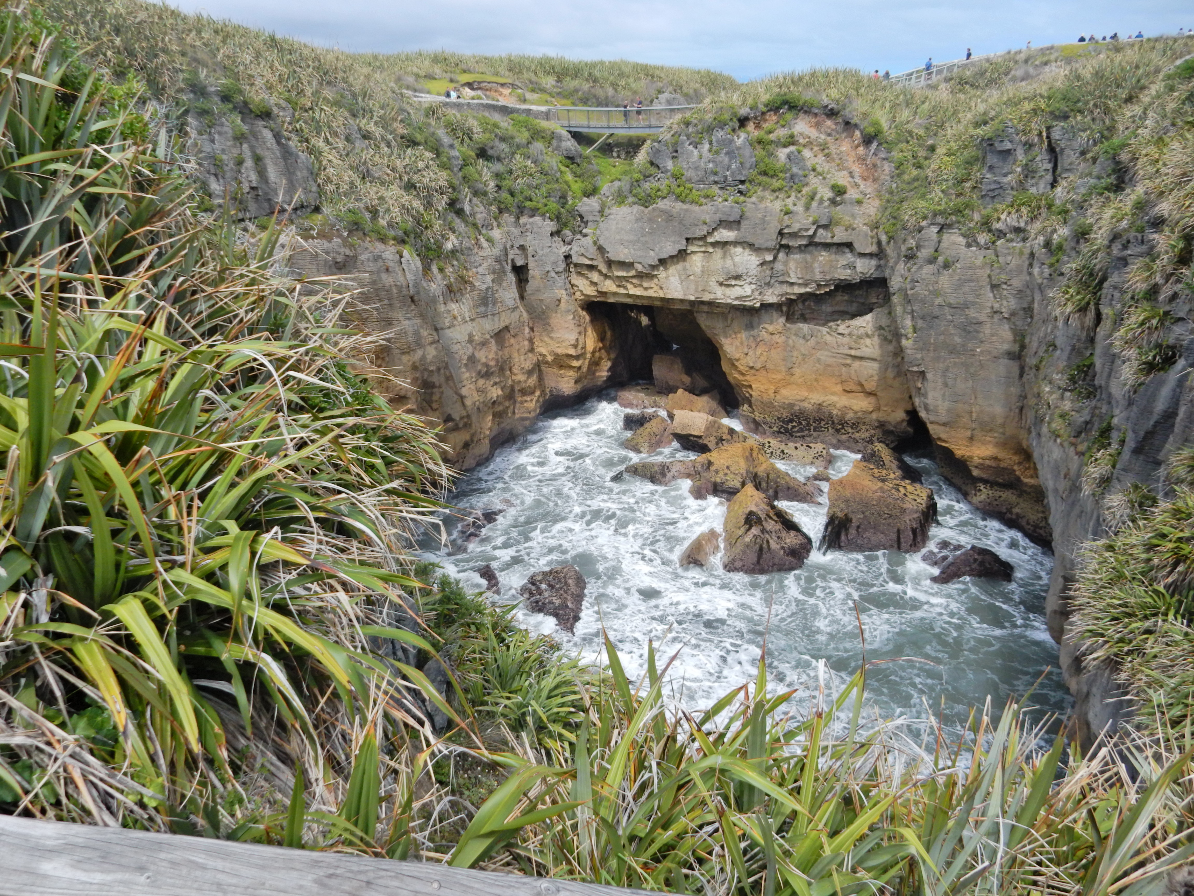
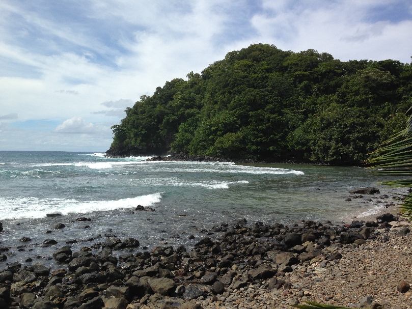
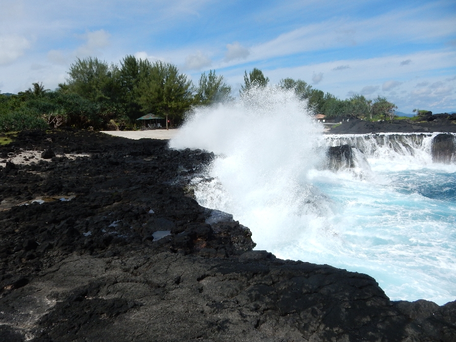
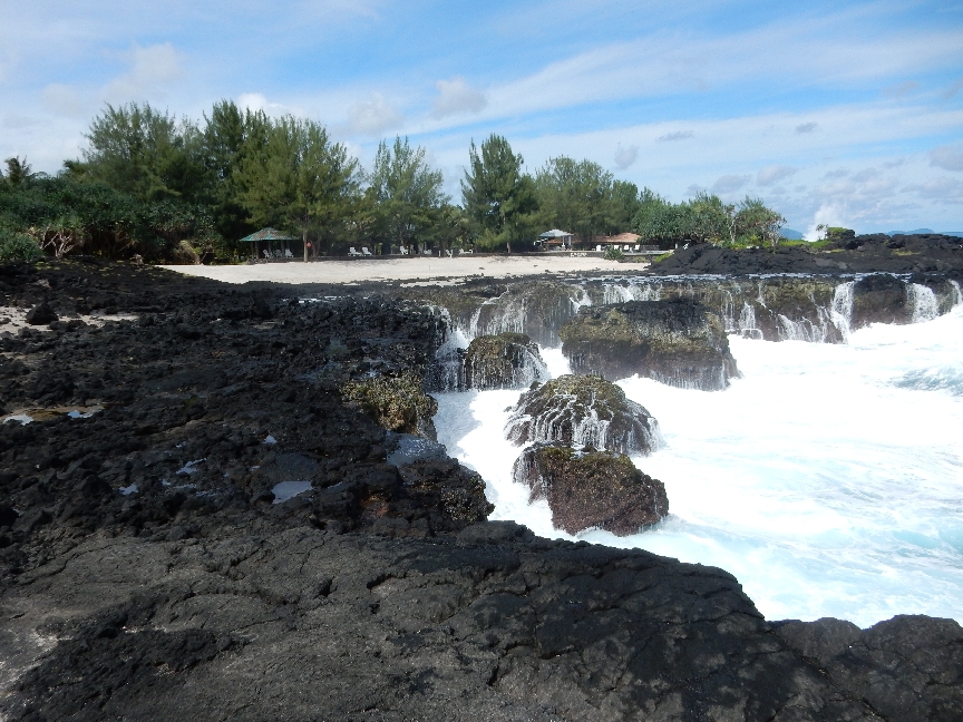
Punakaiki Pancake Rocks and Blowholes were next –

They are part of Paparoa National Park

Lots of tourists here
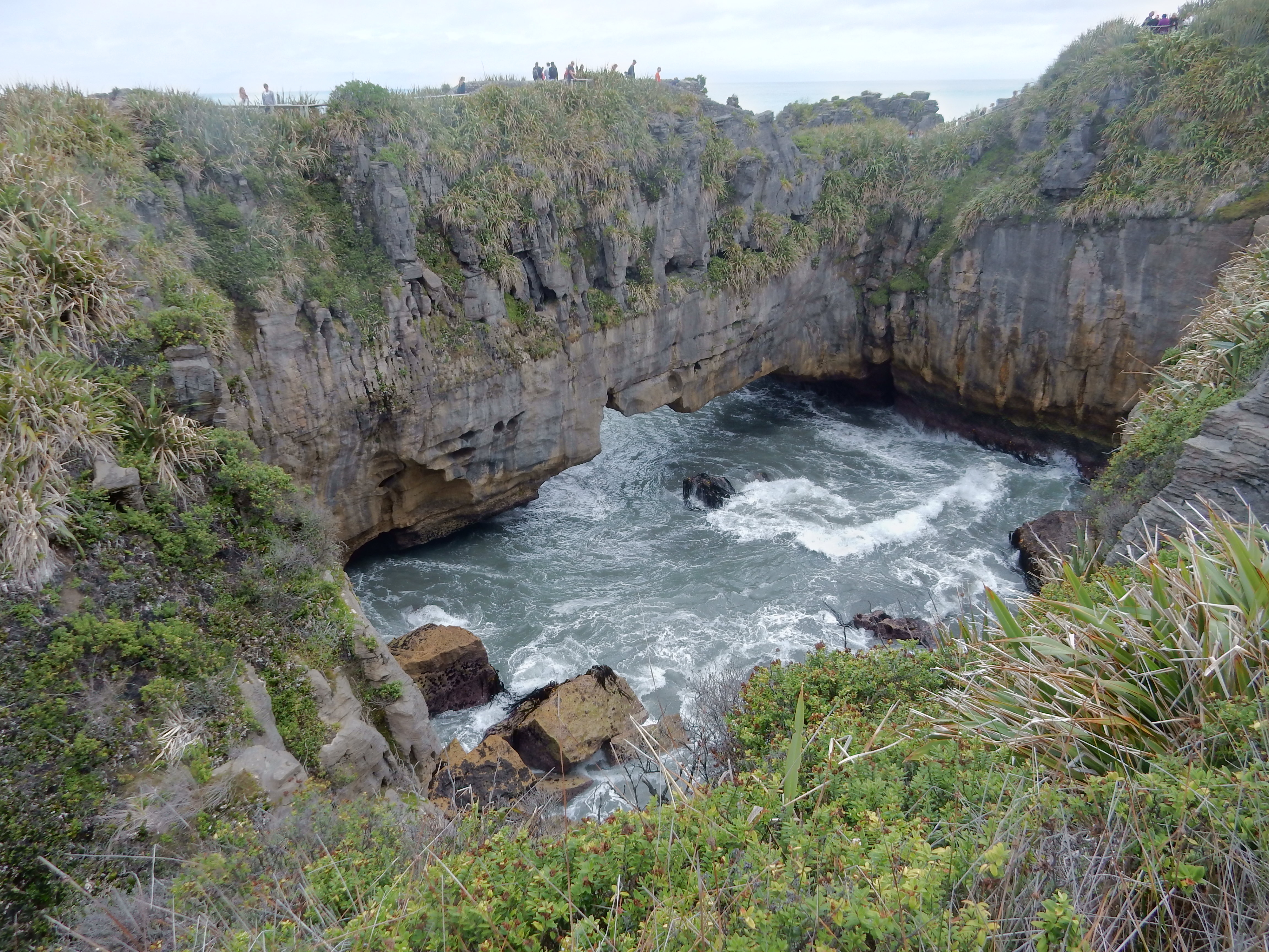
But the rocks/ocean/walkway/wave surges to Dolomite Point and back were worth it

I think this is a Weka – another of New Zealand’s flightless birds

Also ate a small lunch at a restaurant across from the entrance – though we didn’t get them, they served “Pancakes” all day – smart move, big profit margin.
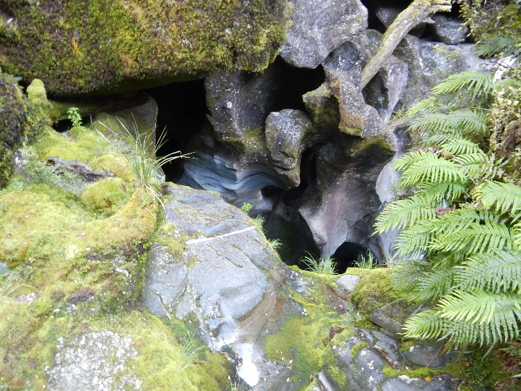
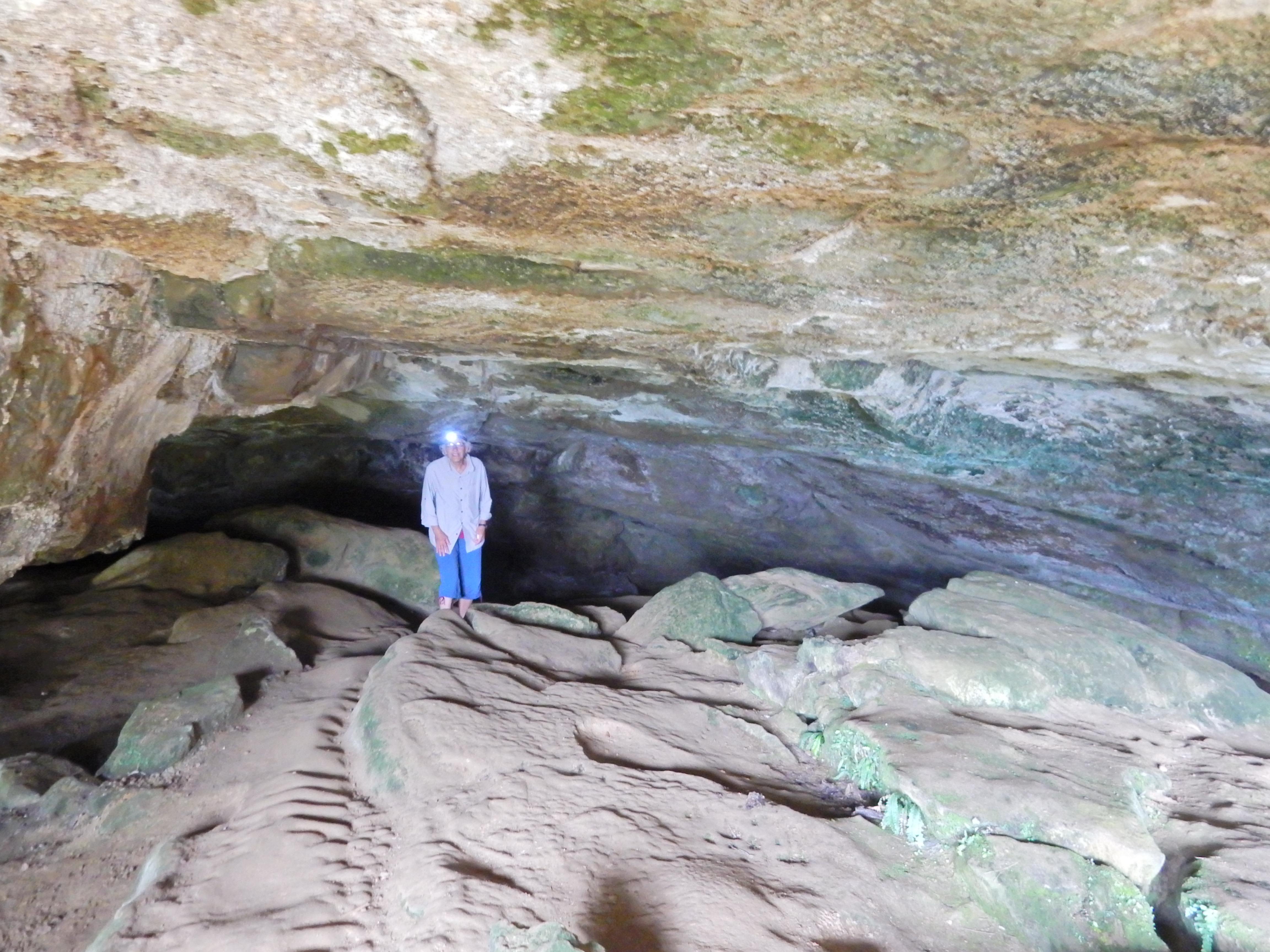
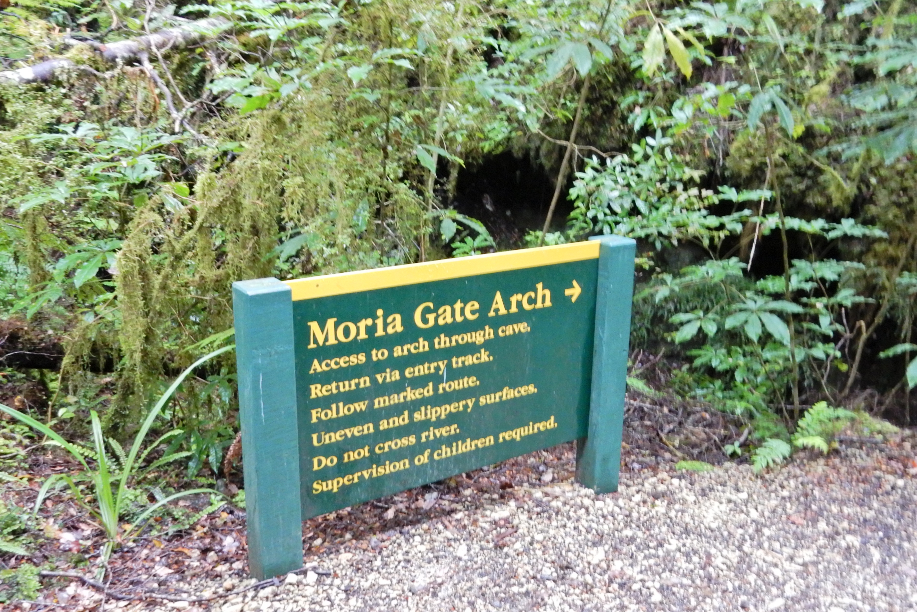
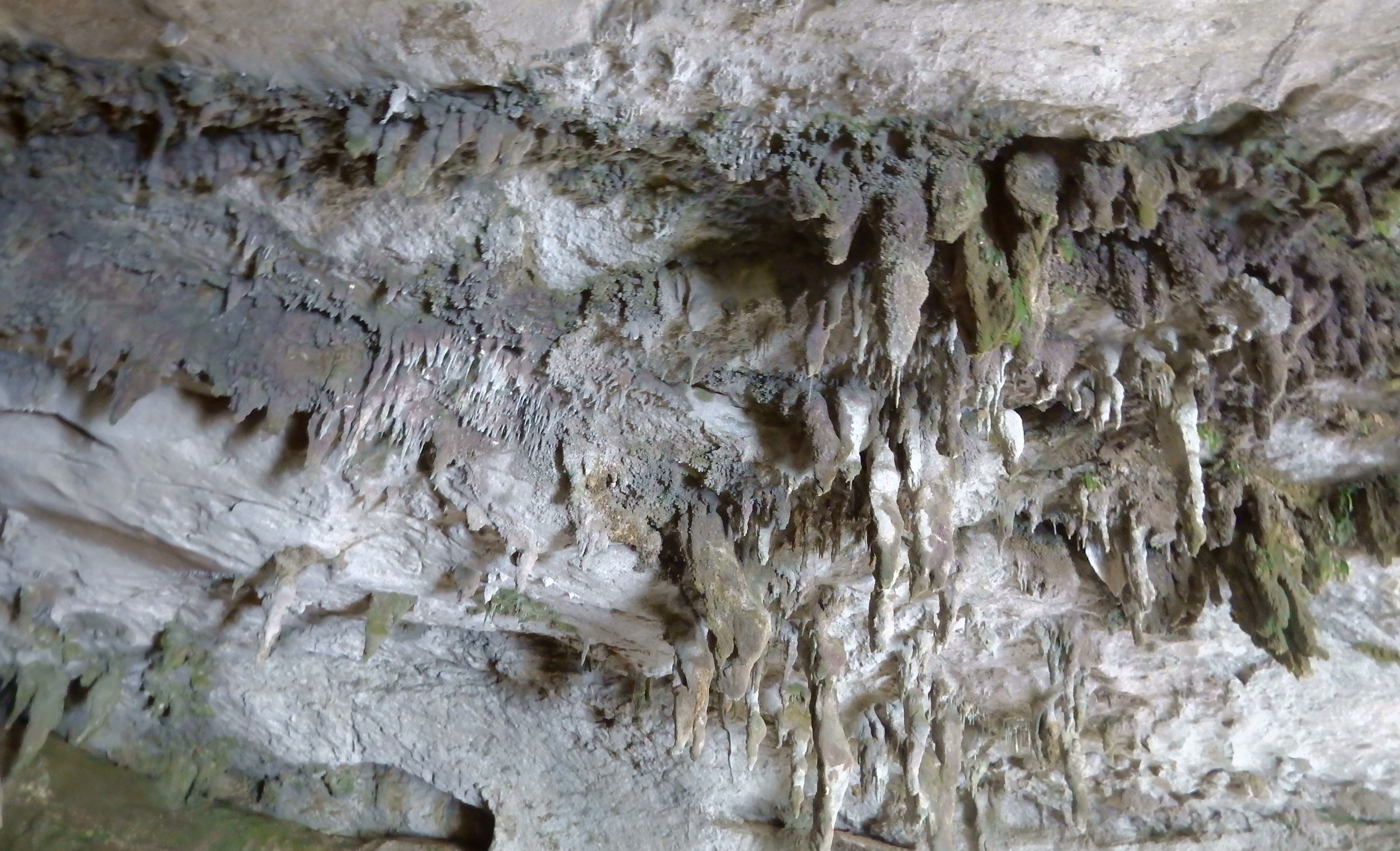
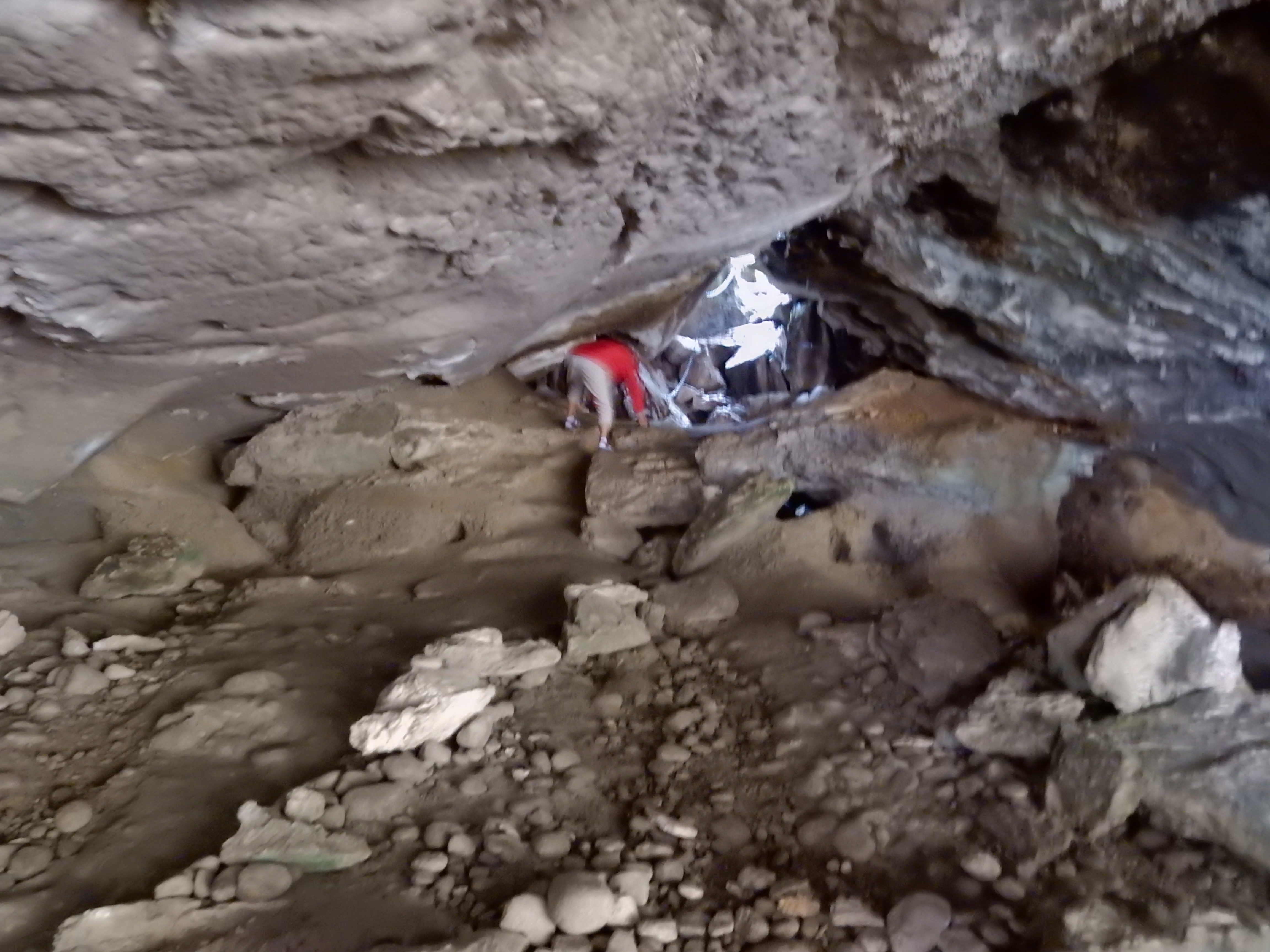
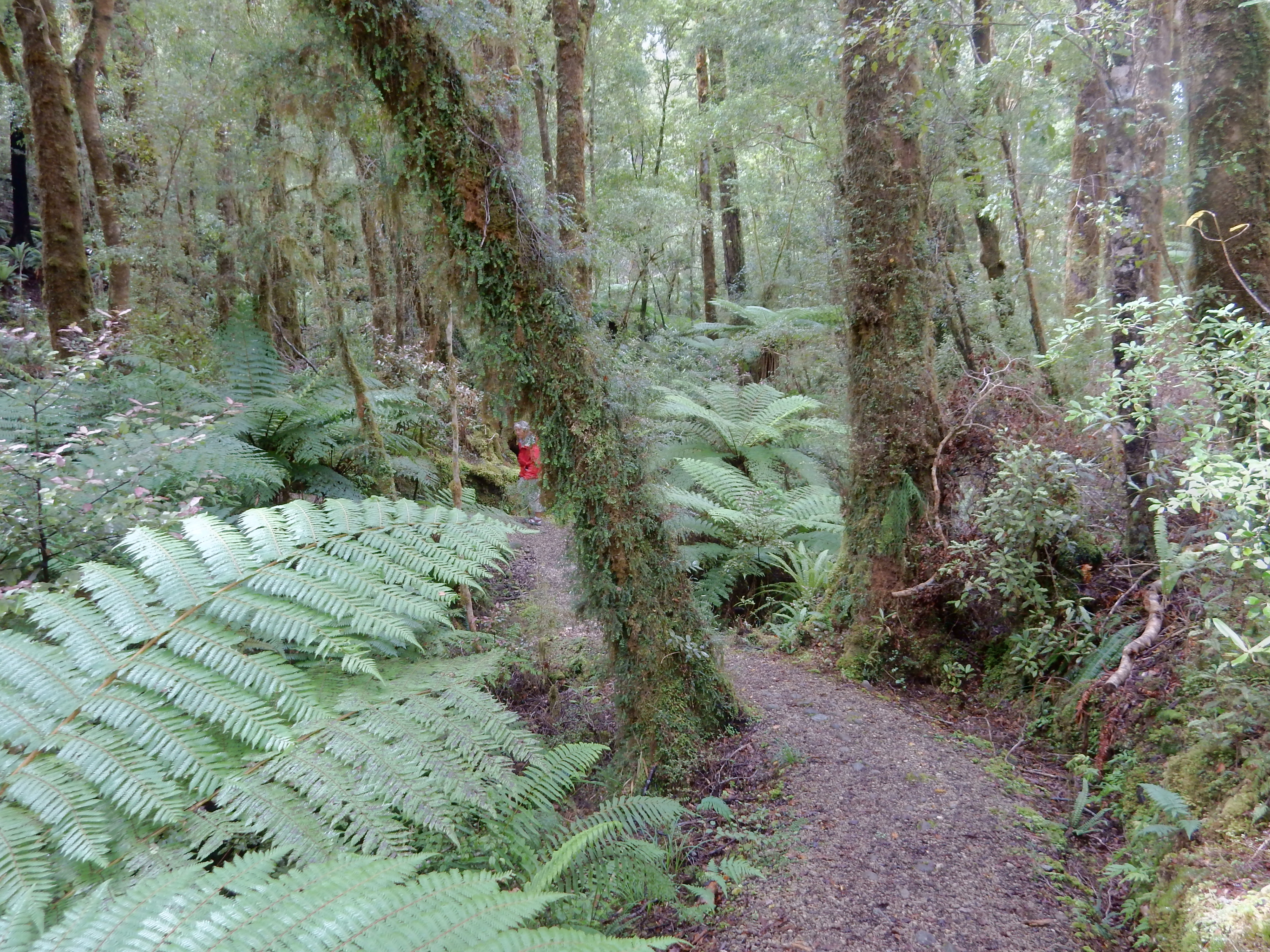
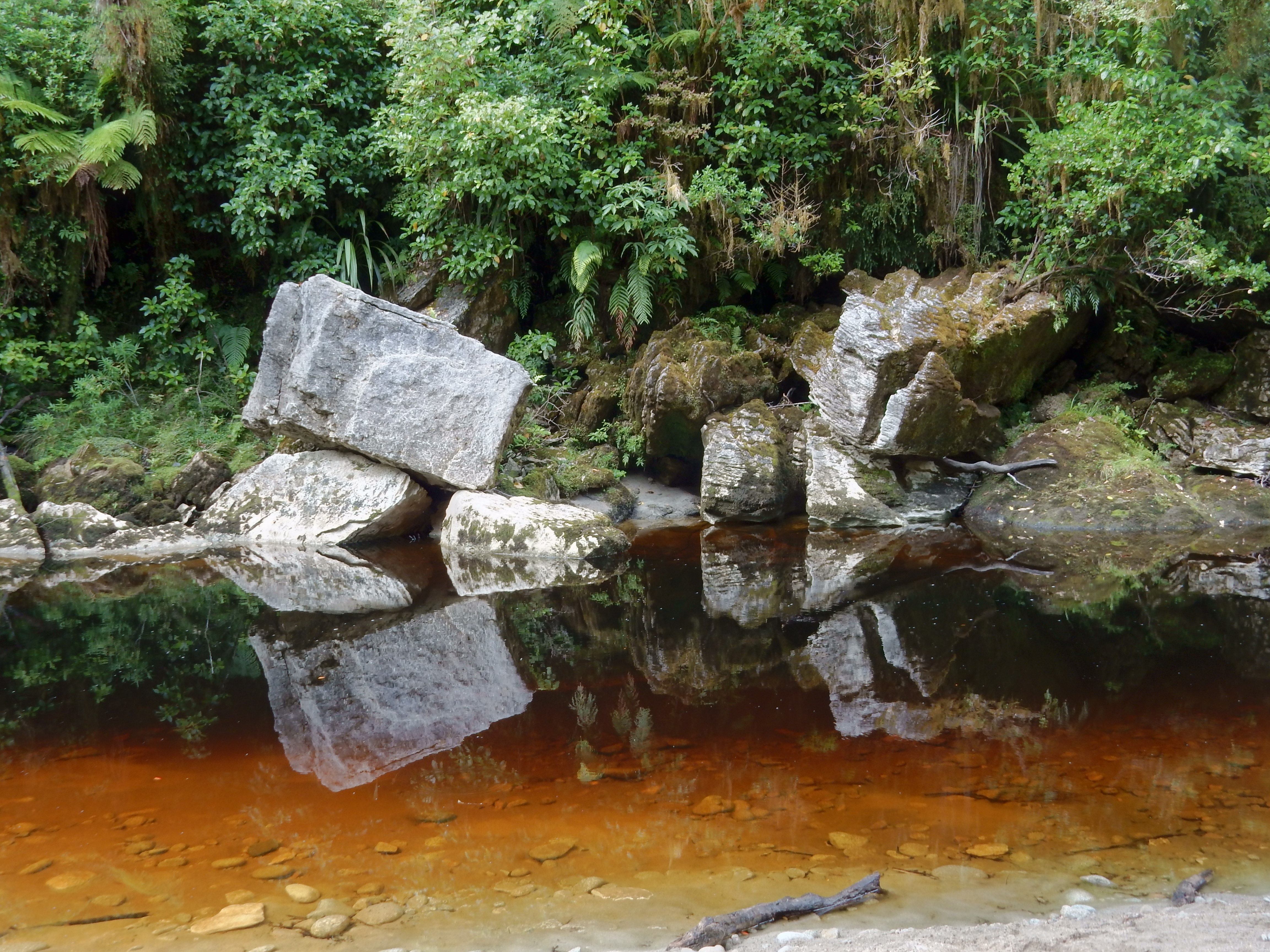
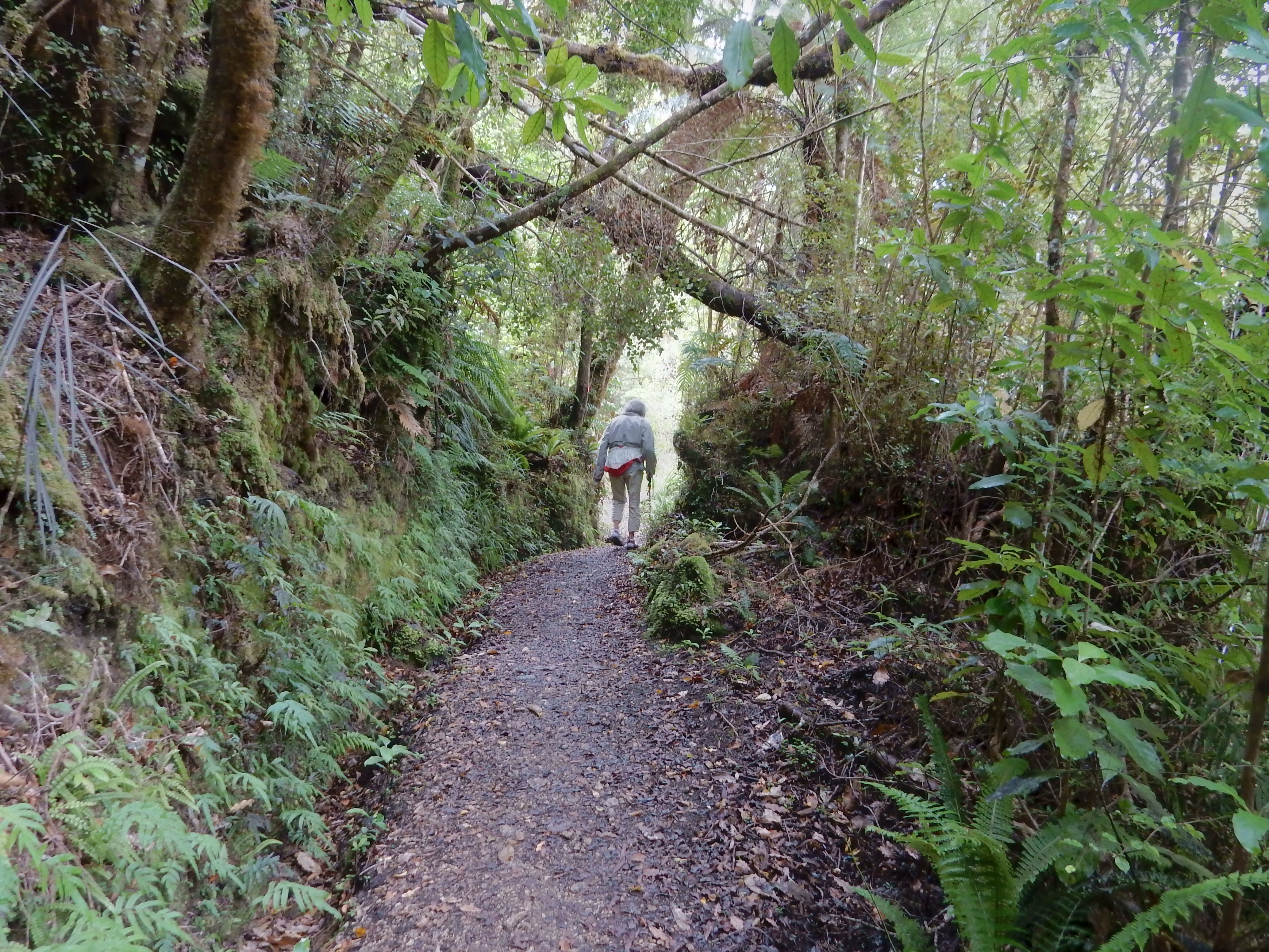
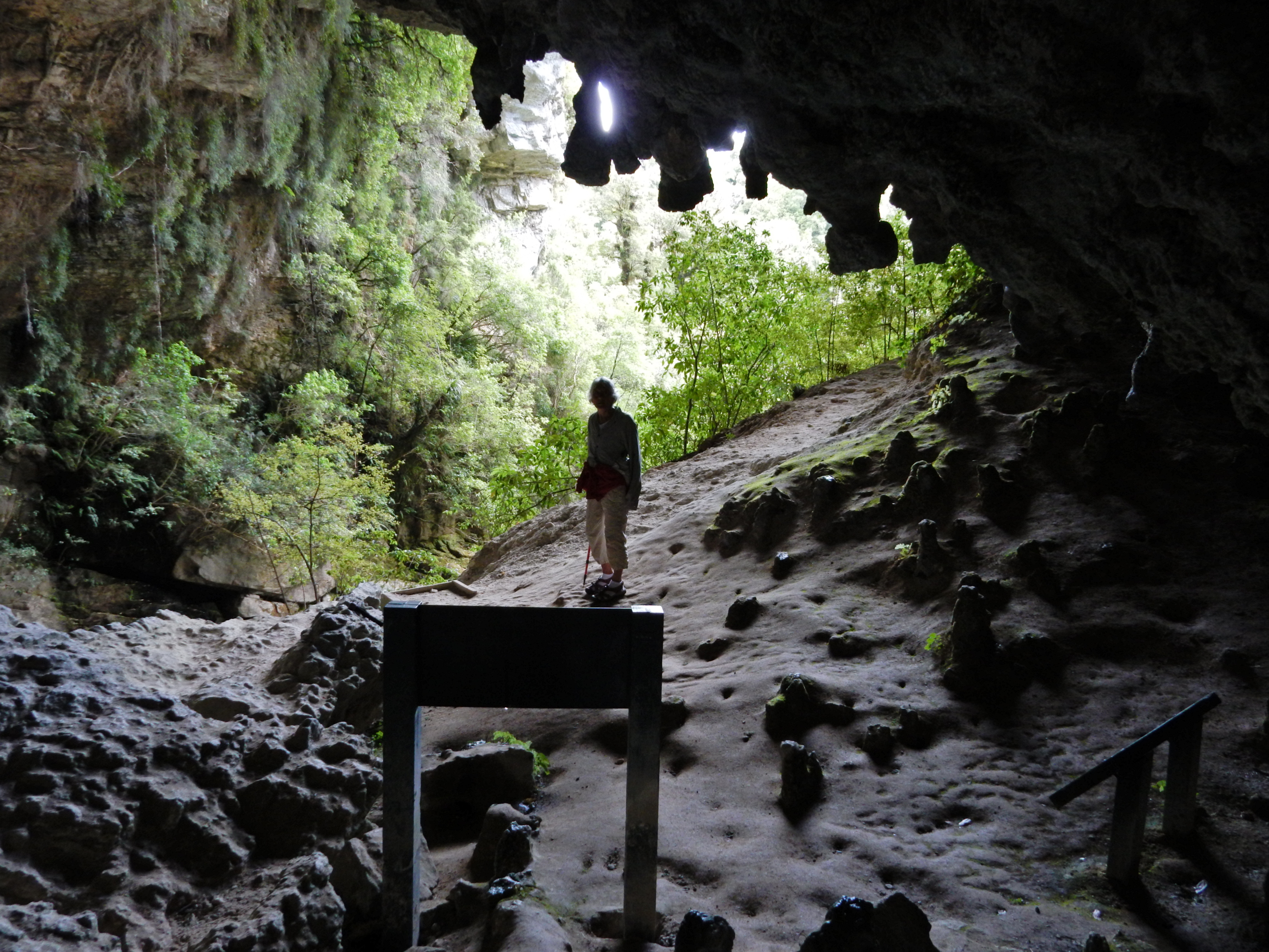
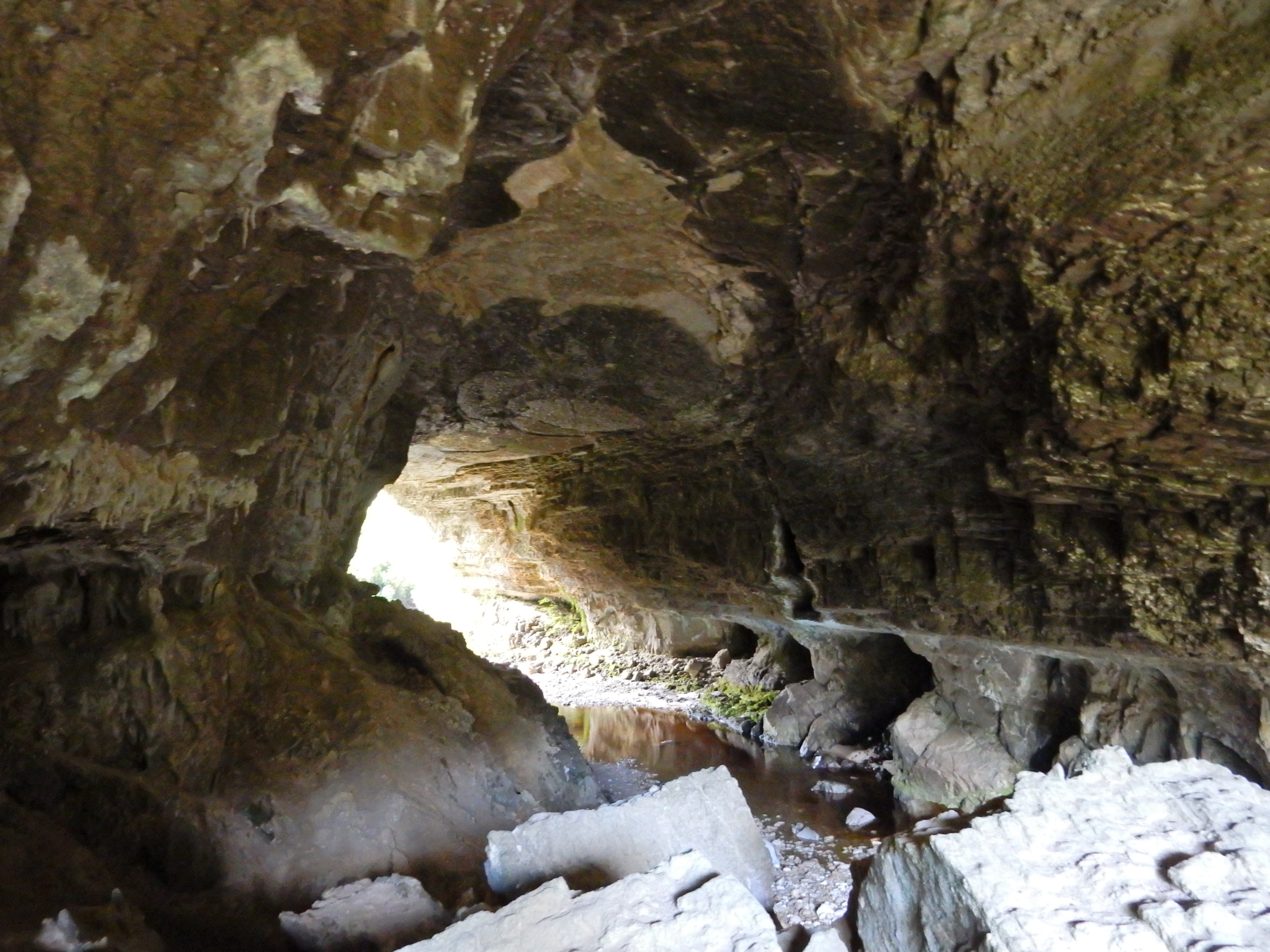
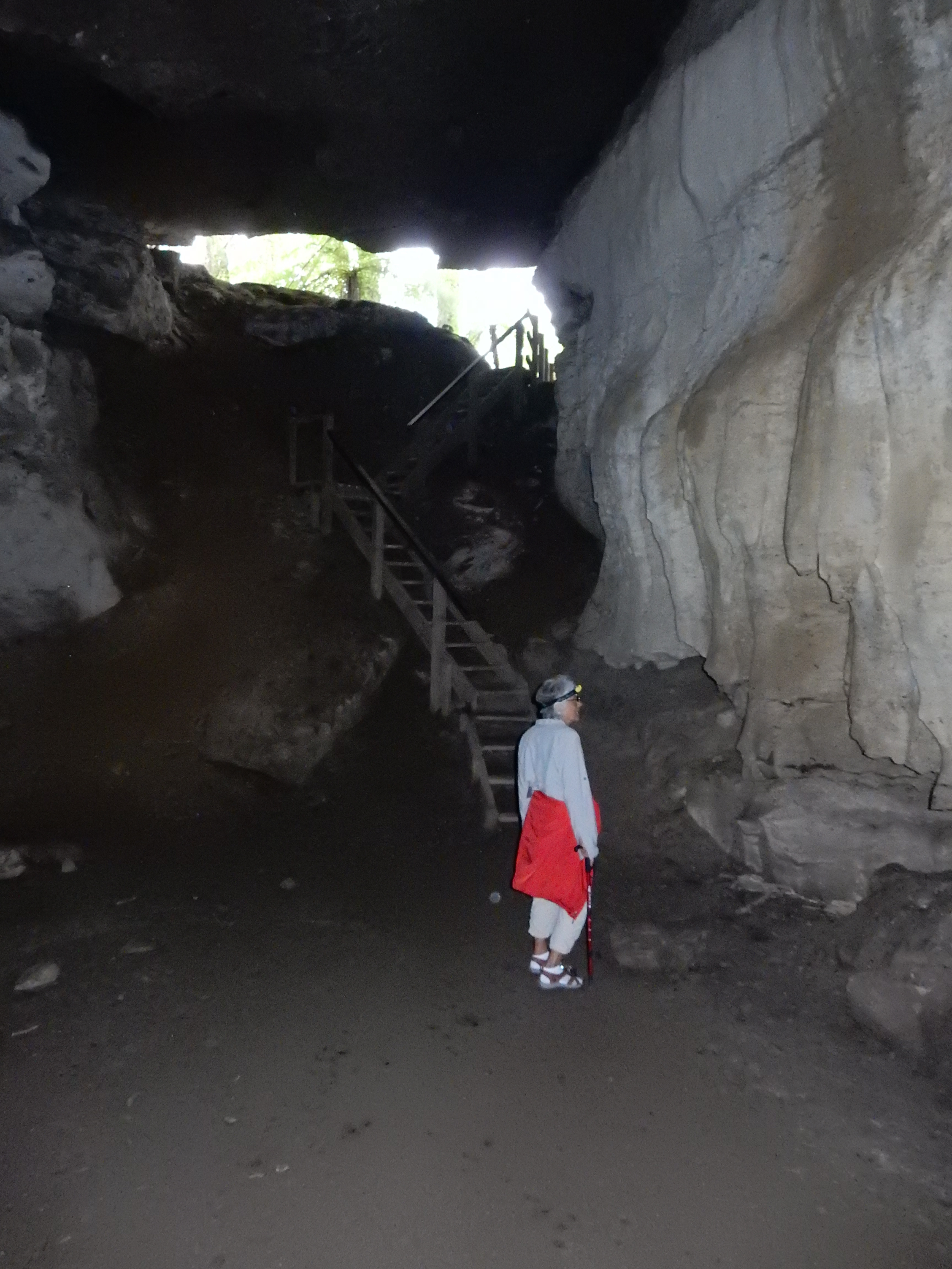
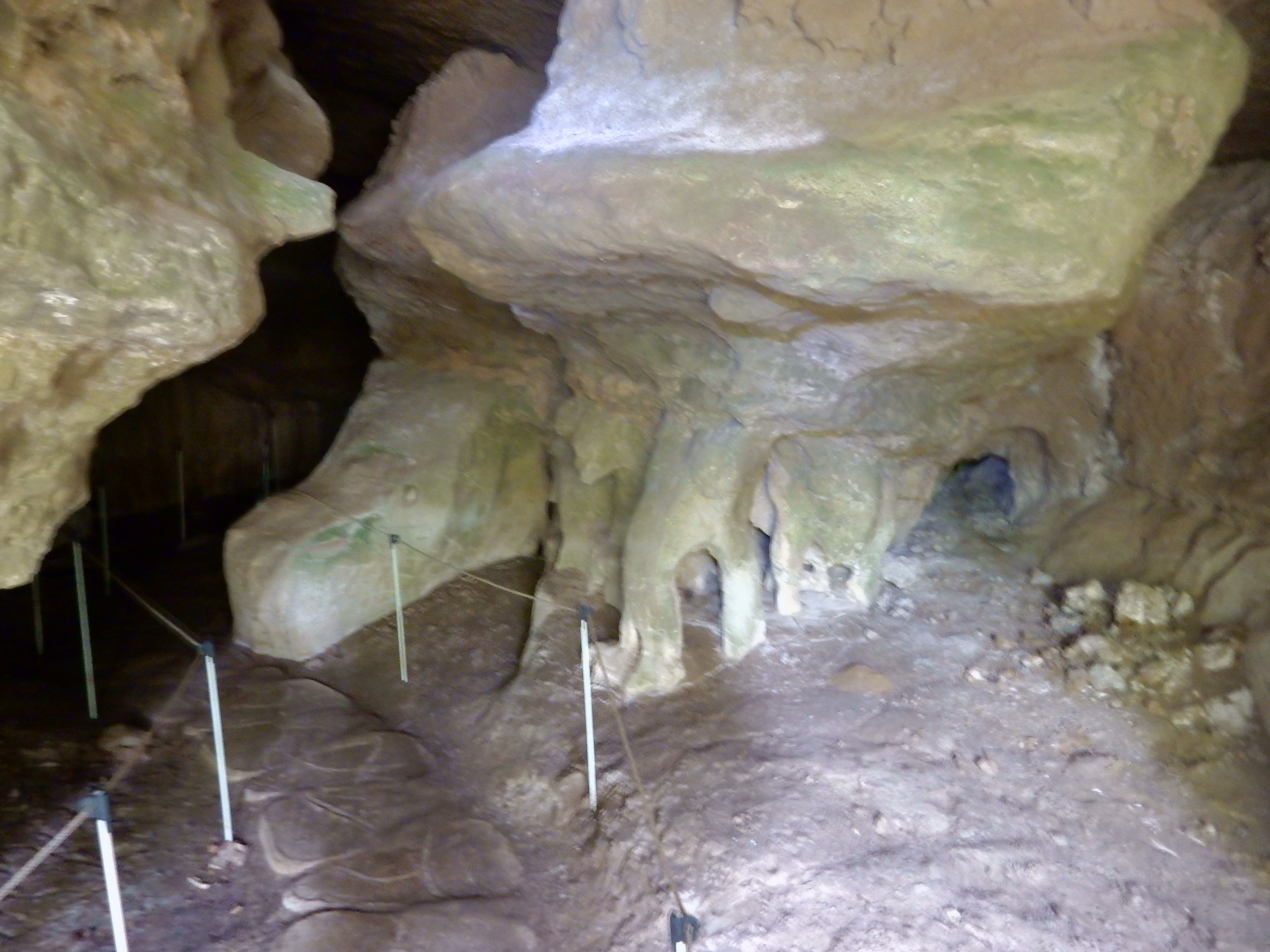
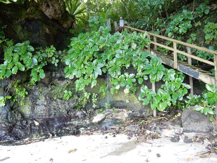
Punakaiki Cavern, a small cave just north of the Pancake Rocks, proved a worthwhile stop as we continued north on the Coast Highway.

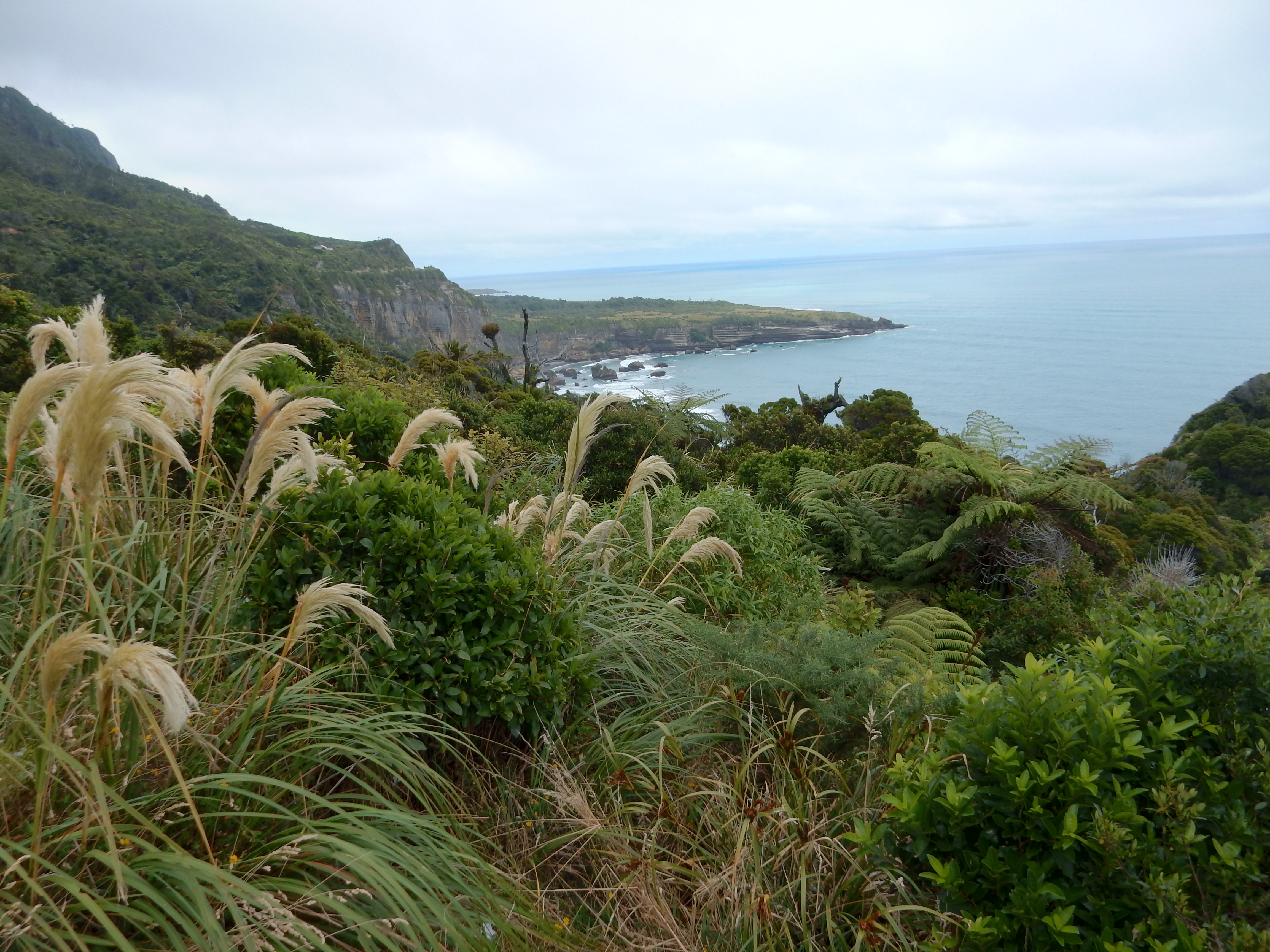
Views as we continued north on the Coast Highway

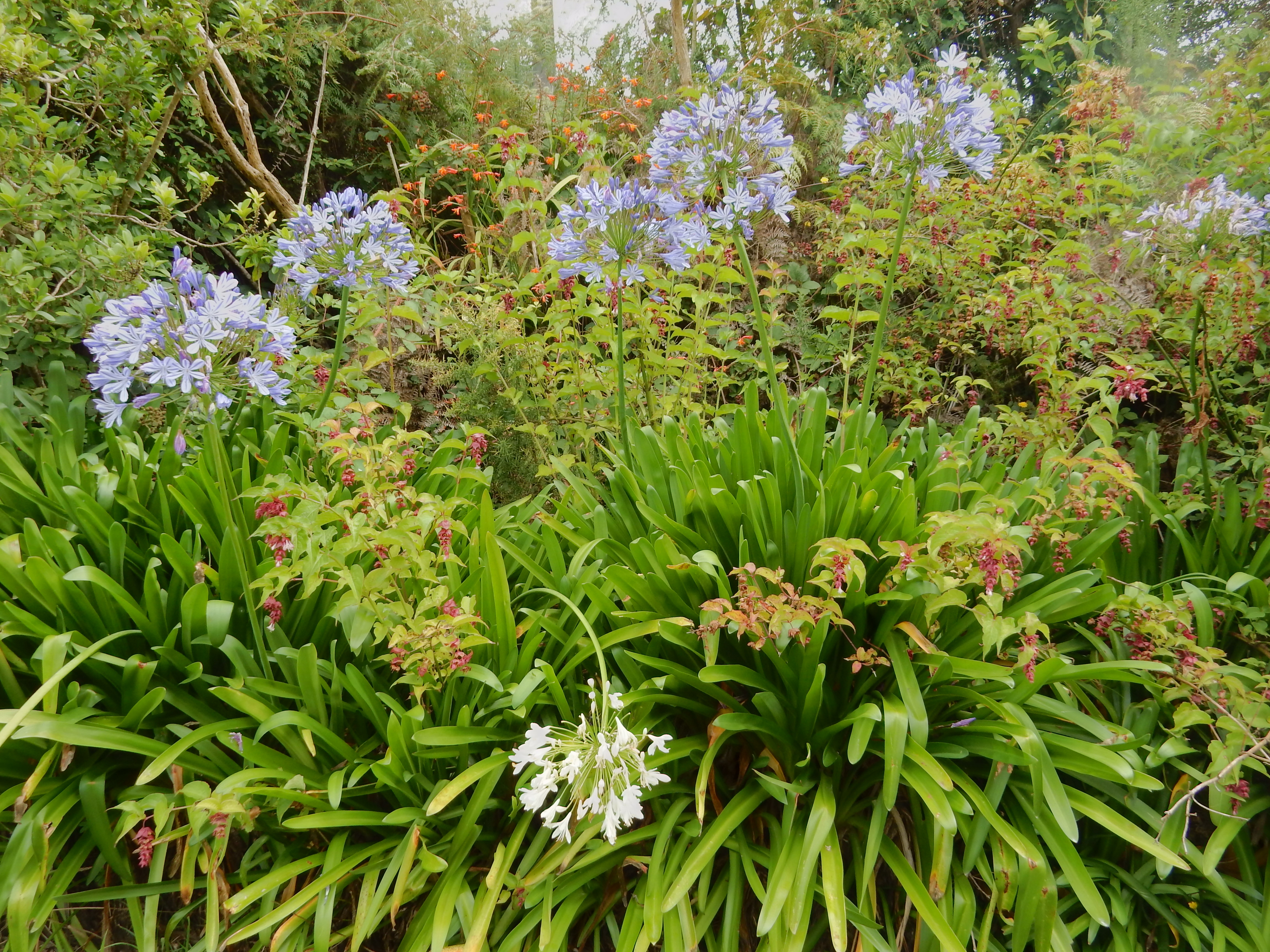
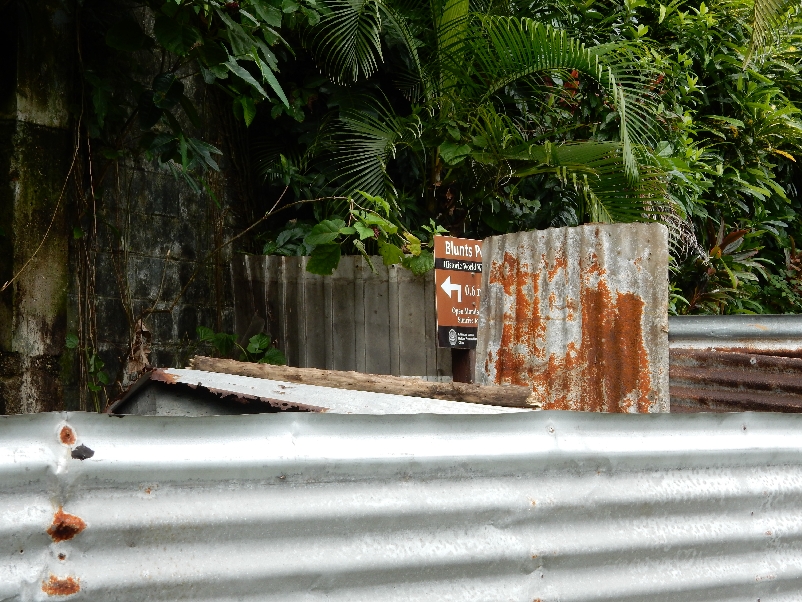
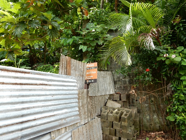
Arrived at the Omau Settlers Lodge outside of Westport at about 4:30. Settled in and asked for directions/time to do the Lighthouse Coastal Walk as well as visit the Seal Colony. The times we were given were vastly underestimated. It took us 2.5 hours to walk from the Lodge to the lighthouse, along the coastal walk to the Seal Colony and back, which we discovered was the normal estimated time. Here are some trees/flowers as we walked along the road to the Cape Foulwind car park.

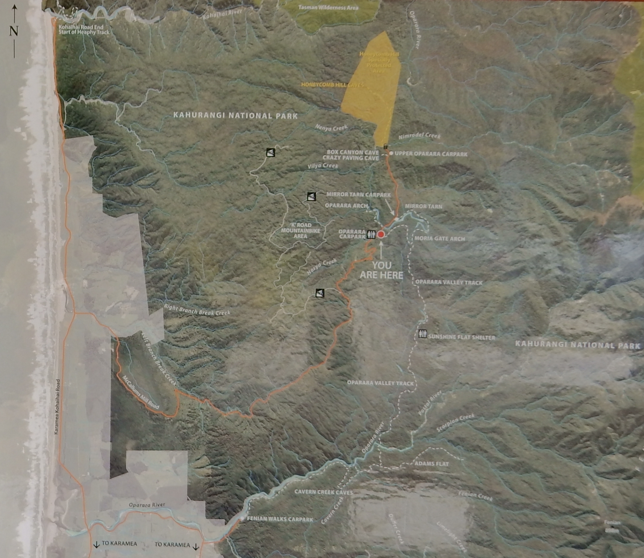
Good map of Cape Foulwind

The first lighthouse was placed here in 1876
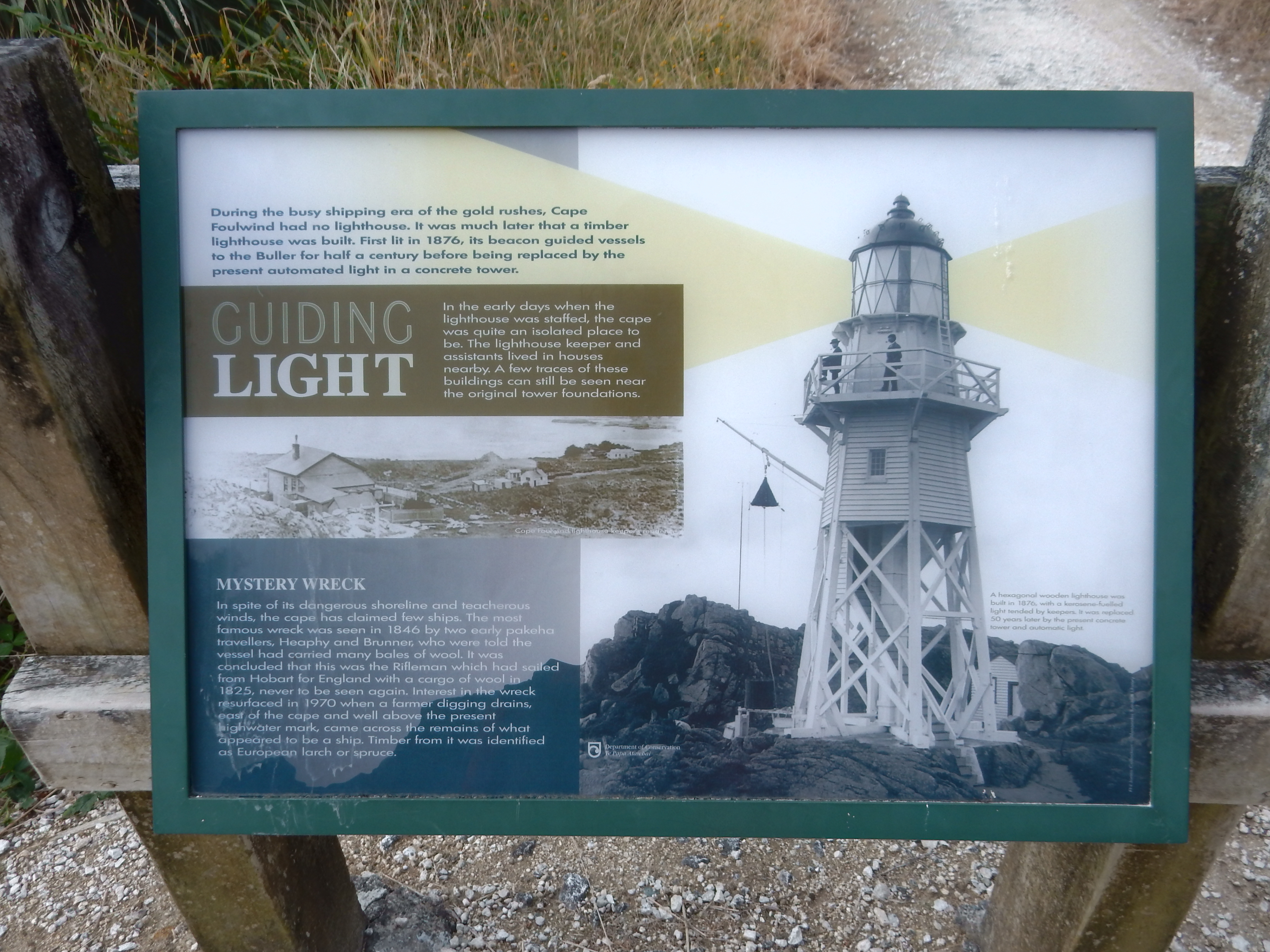
The current lighthouse was built about 1925

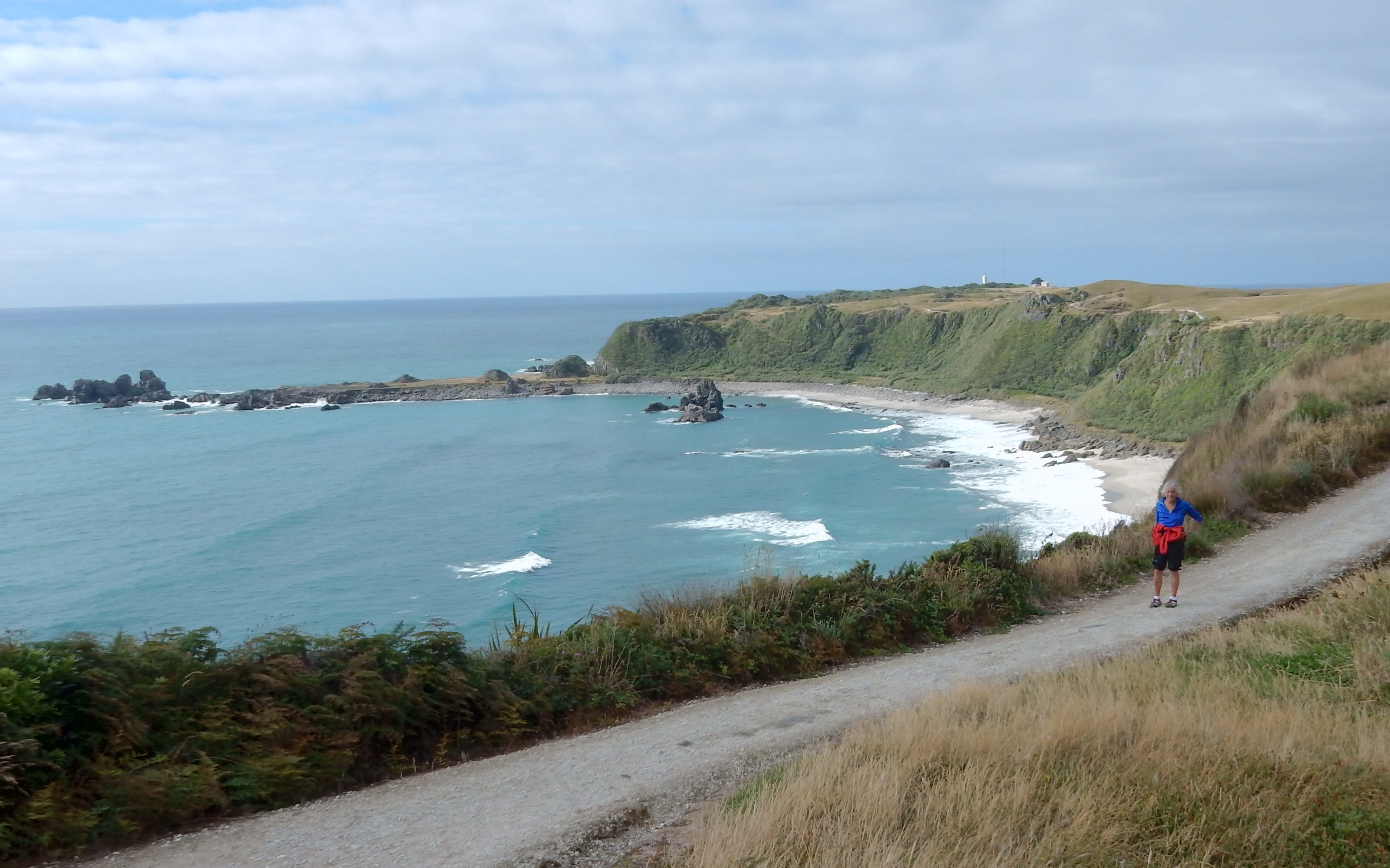
Bay along the Cape Foulwind Walkway

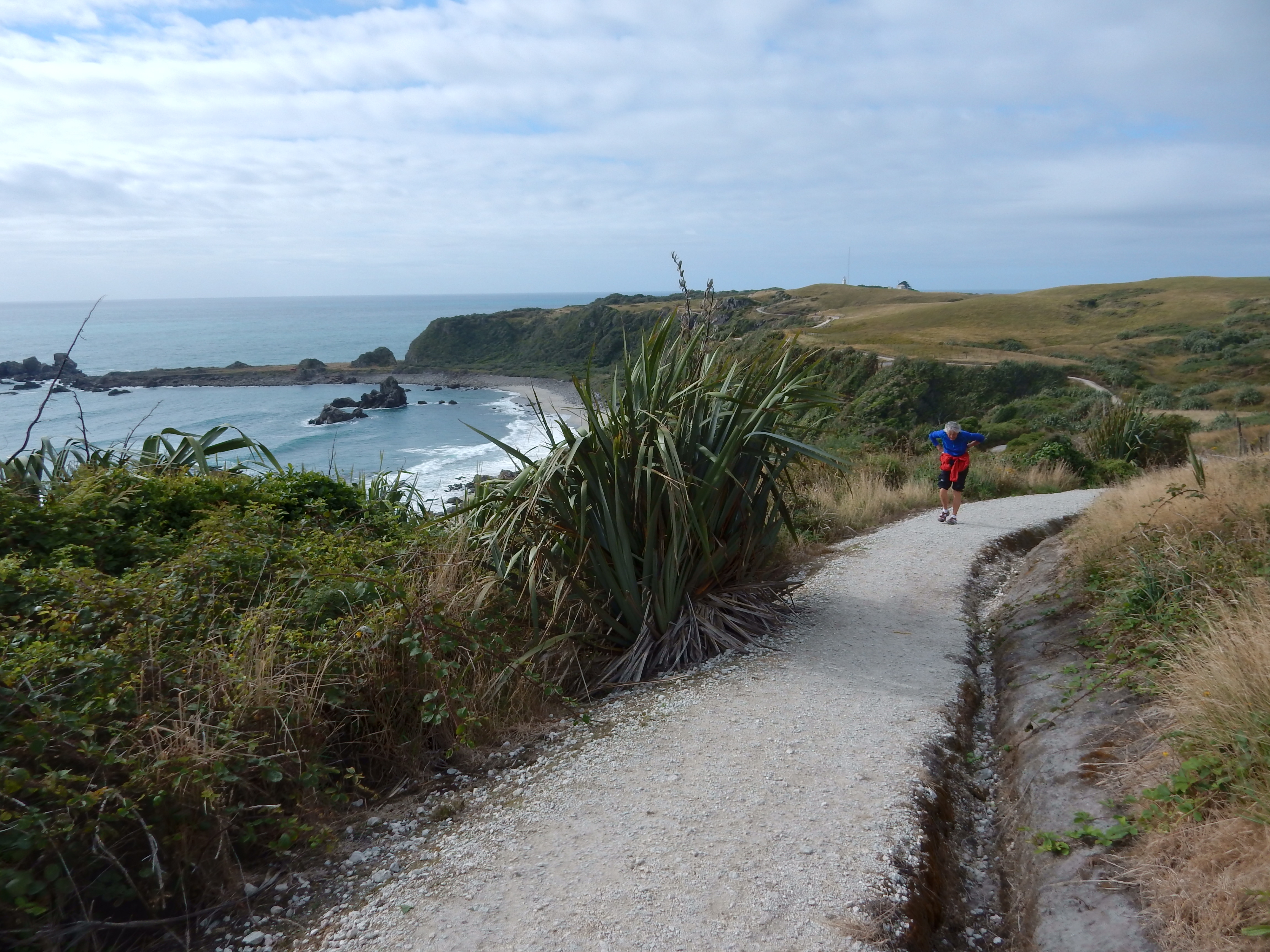
Scenic coastline walk

Unexpected trail obstacles

Though longer than expected, it was an excellent hike
Almost to the Seal Colony!
This point is a New Zealand Fur Seal Breeding Colony

Some of the seals –


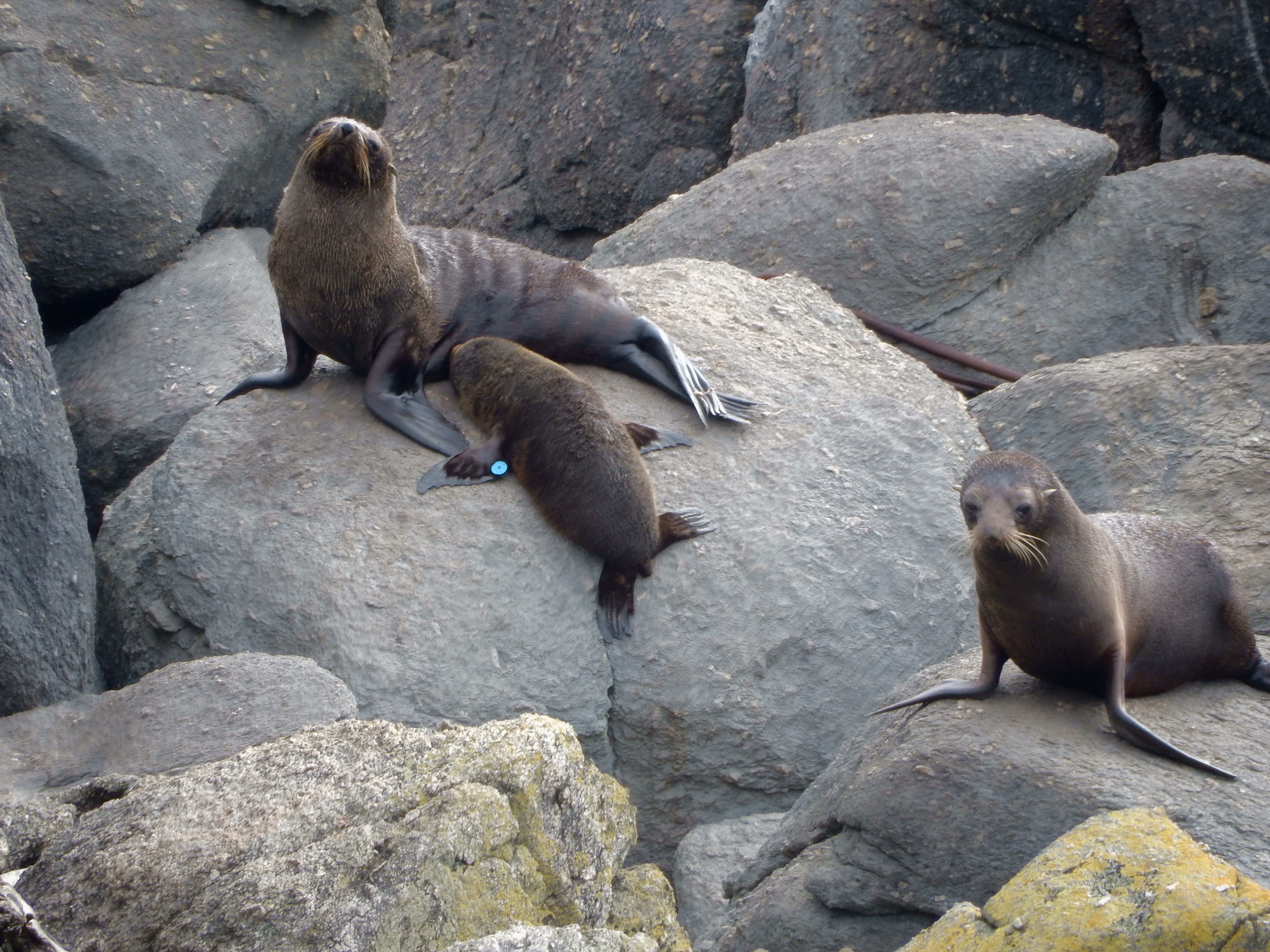
Can you find the two seals?

The walk, vistas, seals, etc. were well worth the 2.5 hour effort and we celebrated a belated Valentine’s by having a delicious grilled fish salad with a pint of beer at the Star Tavern, right across from the Omau Lodge.


